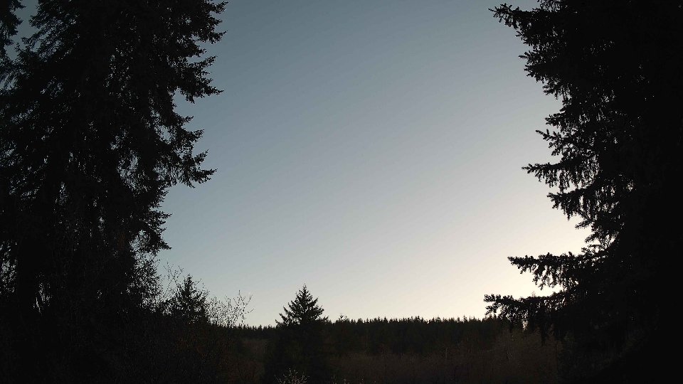
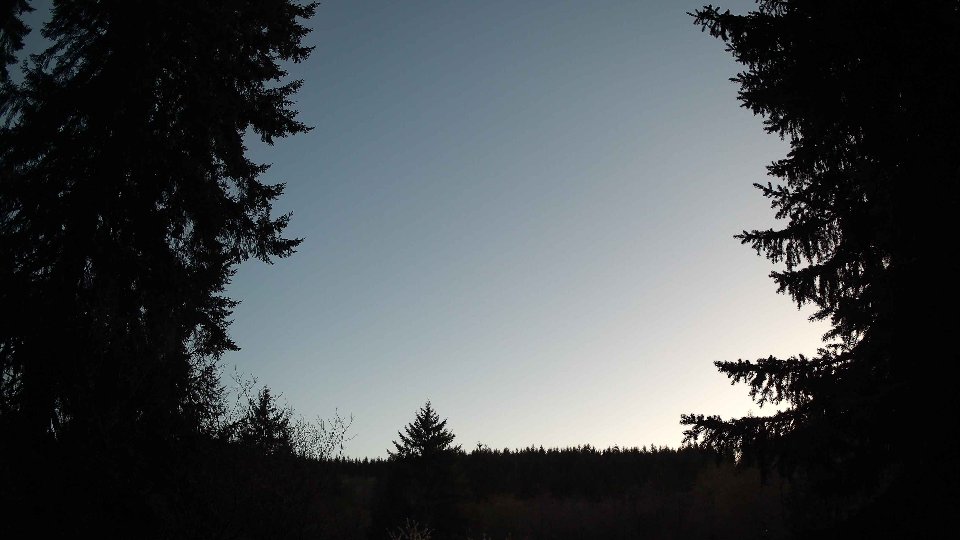
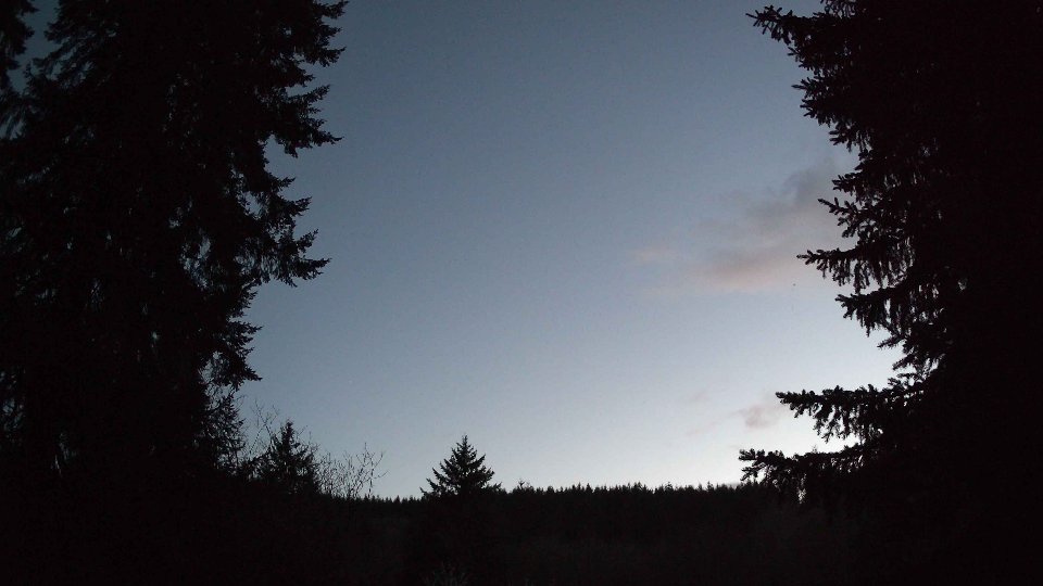
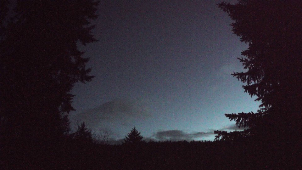
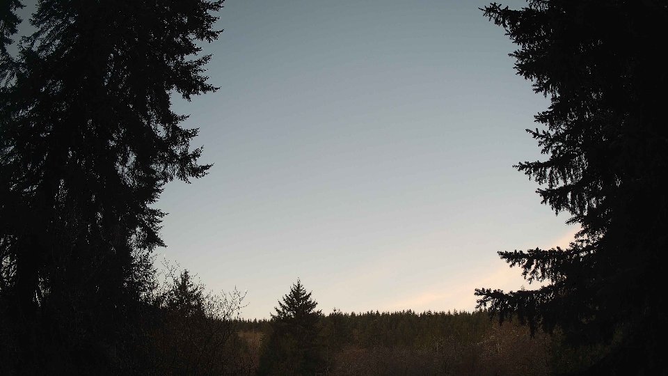
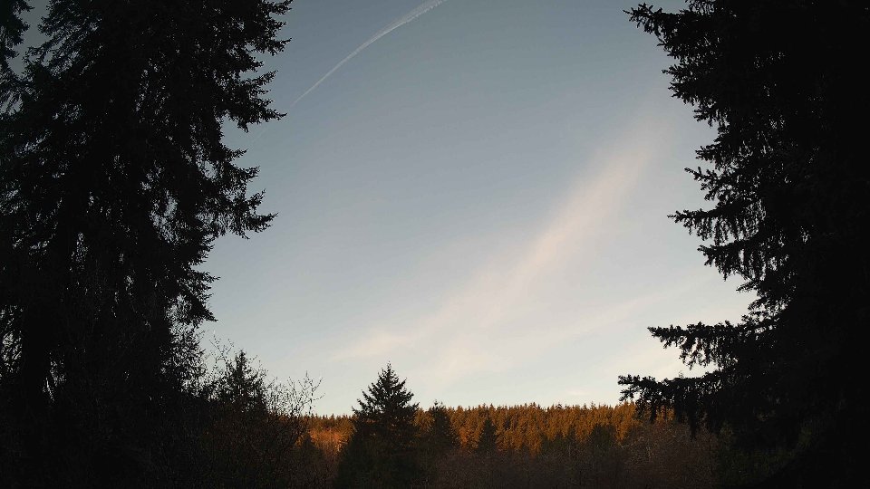
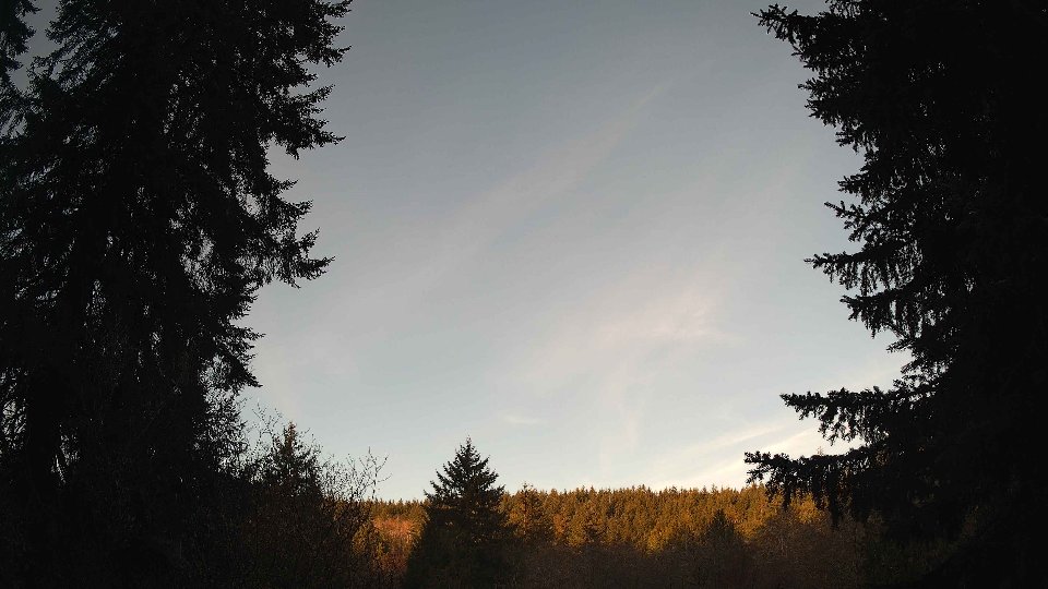
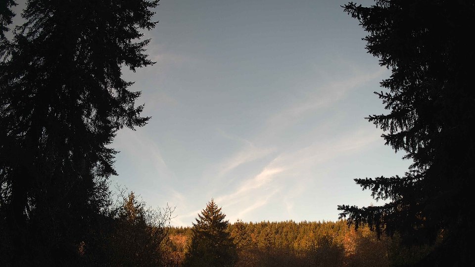
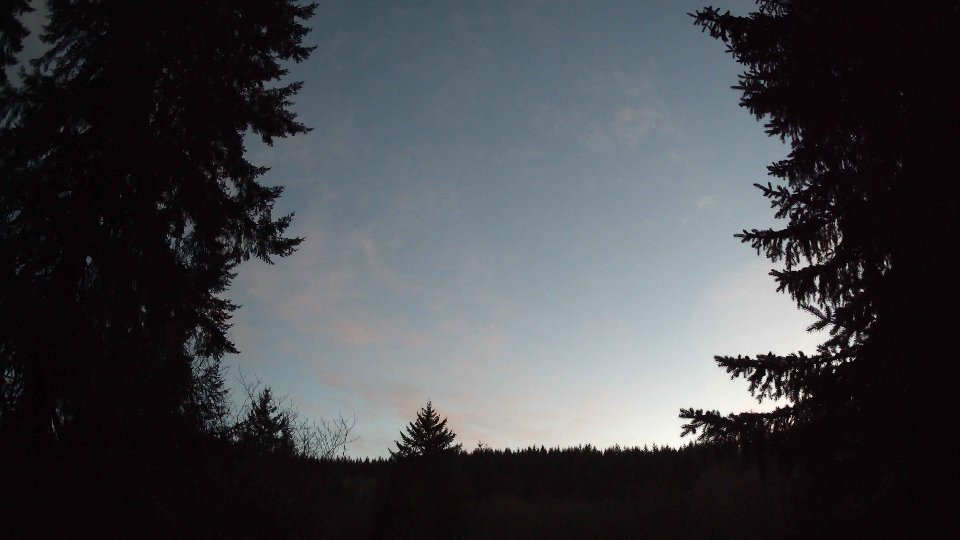
April 14th, 2026 Timelapse
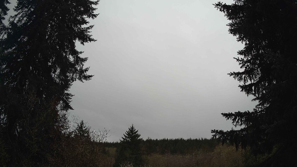
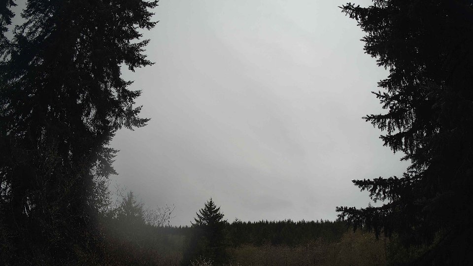
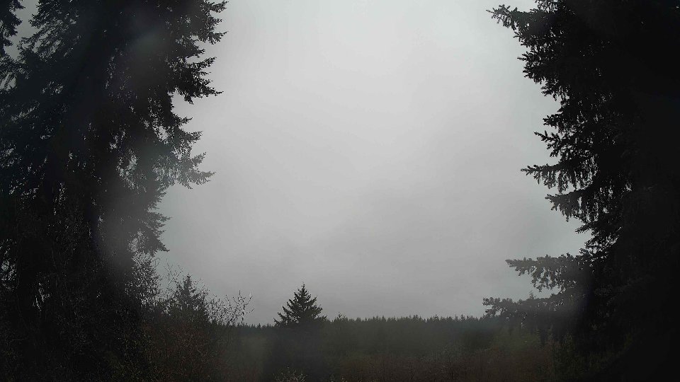
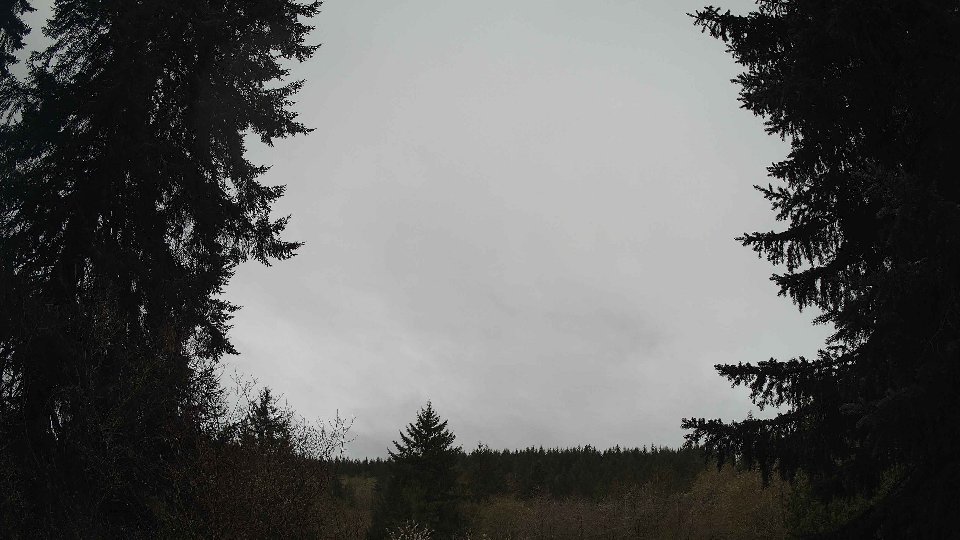
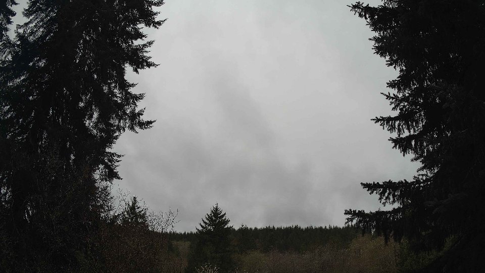
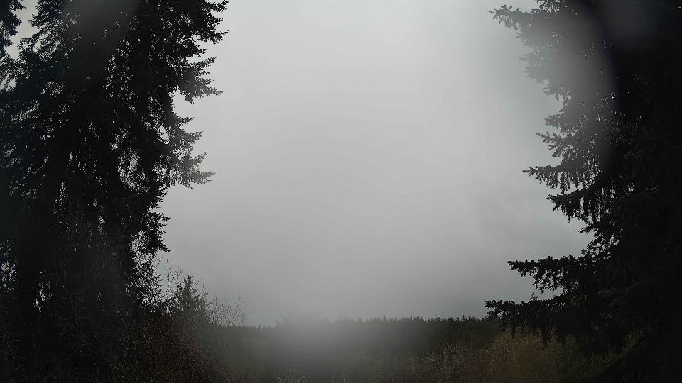
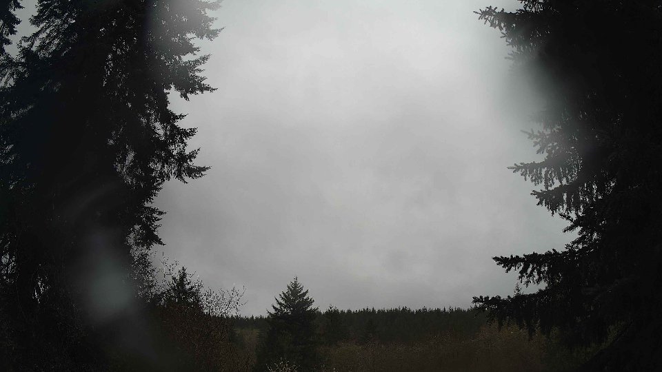
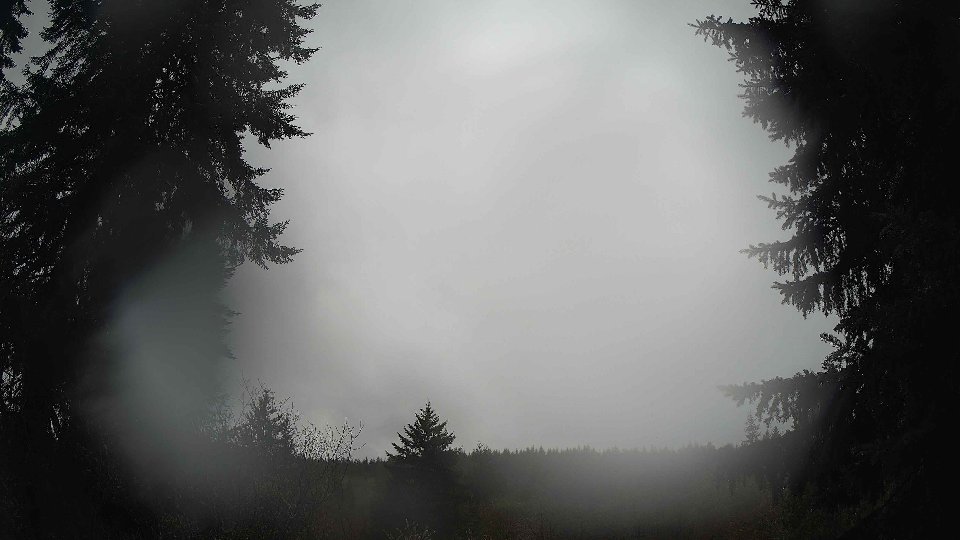
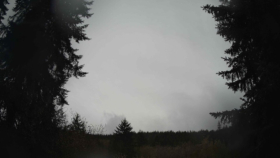
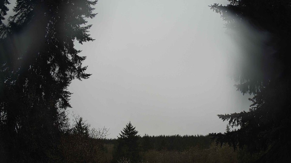
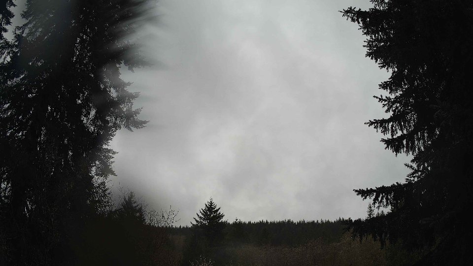
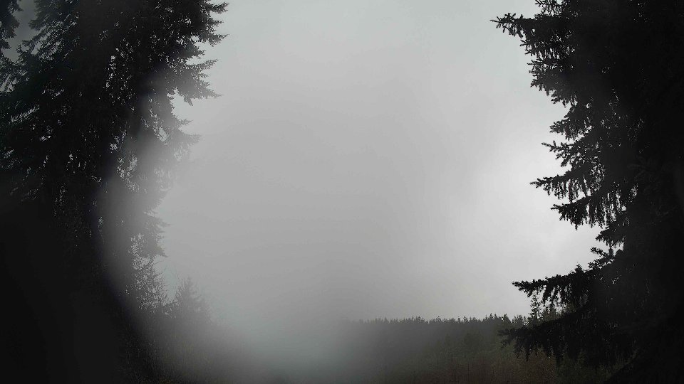
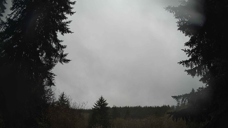
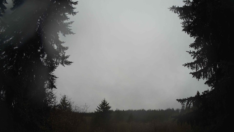
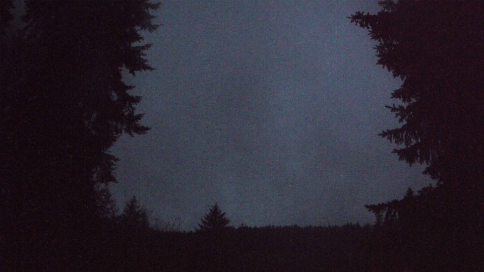
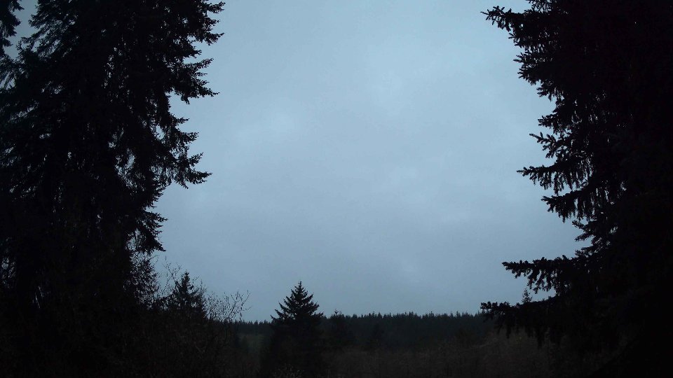
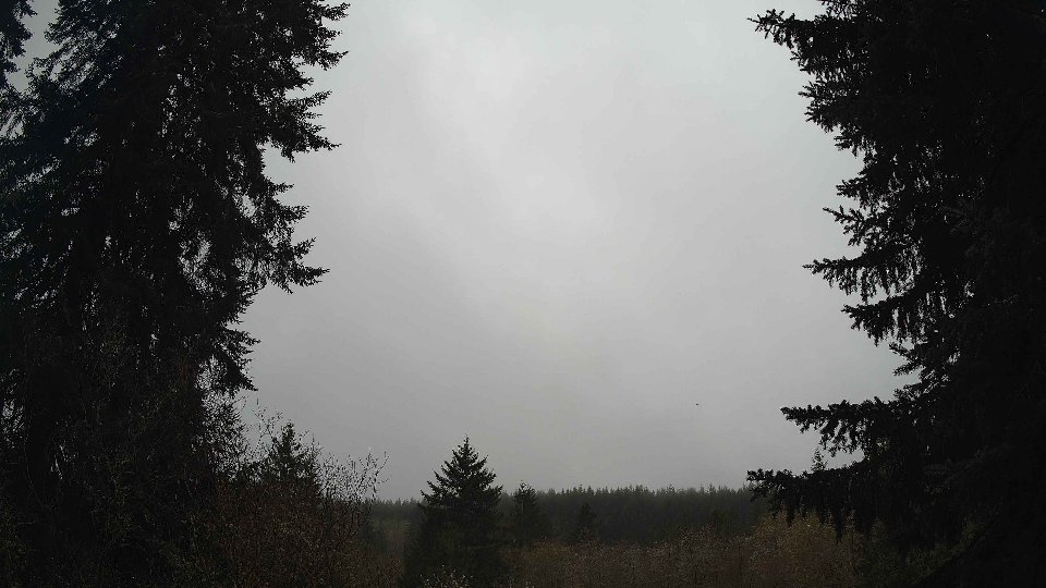
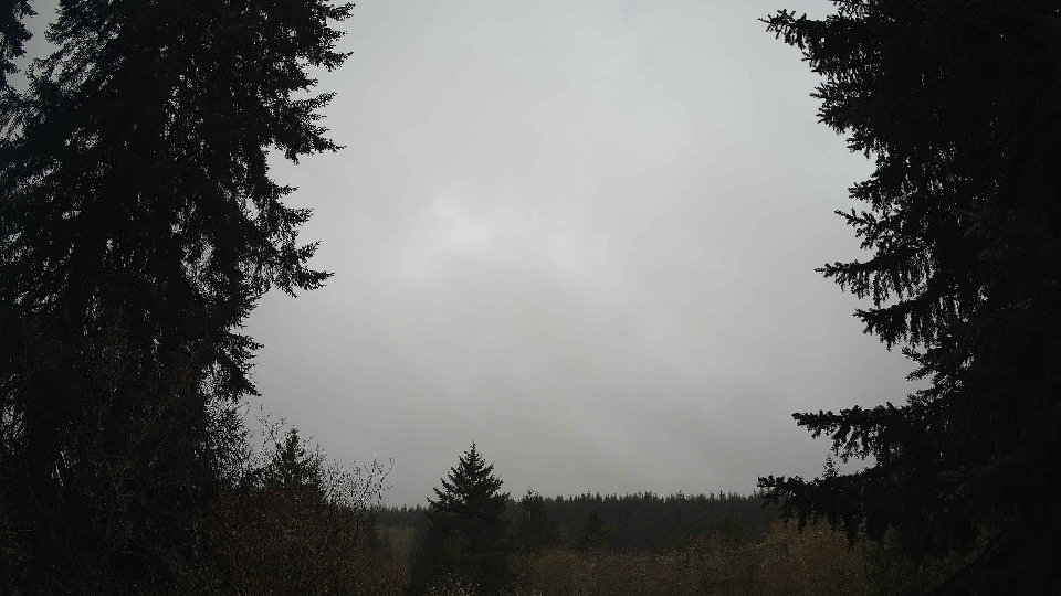
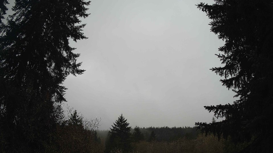
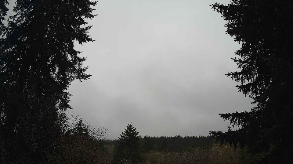
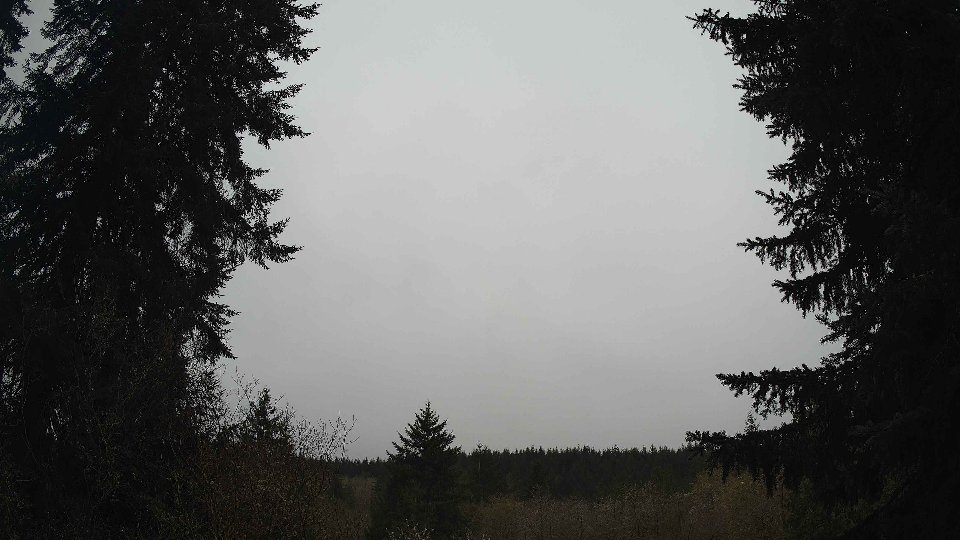
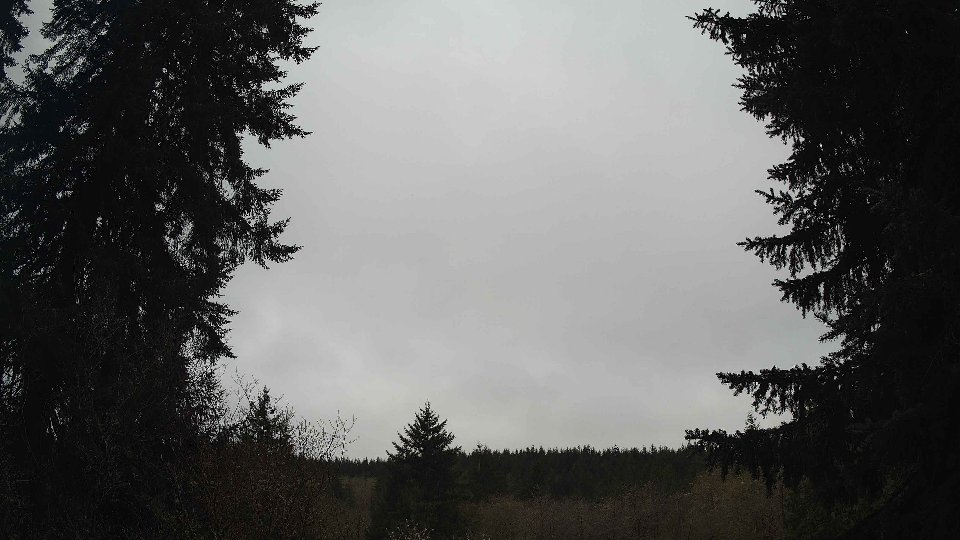
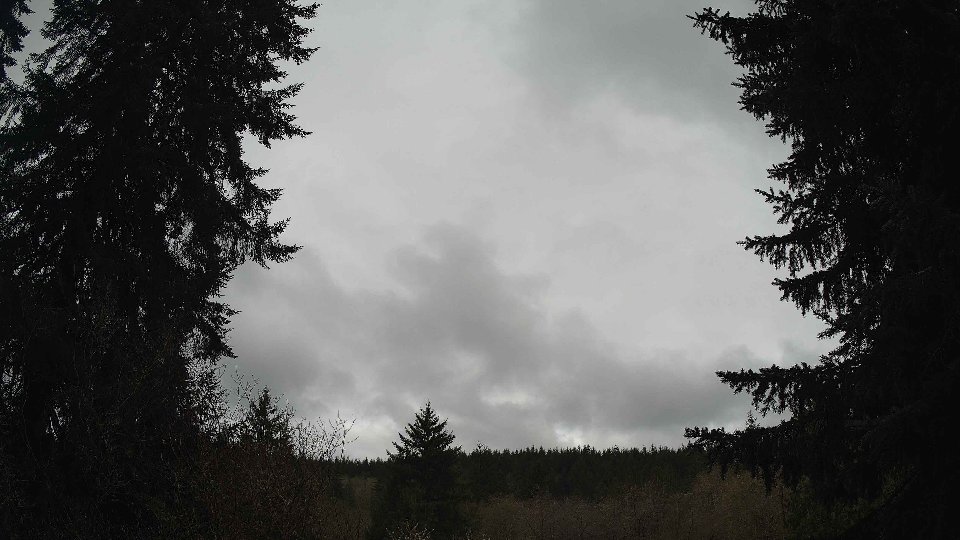
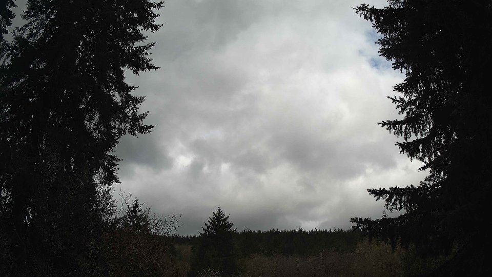
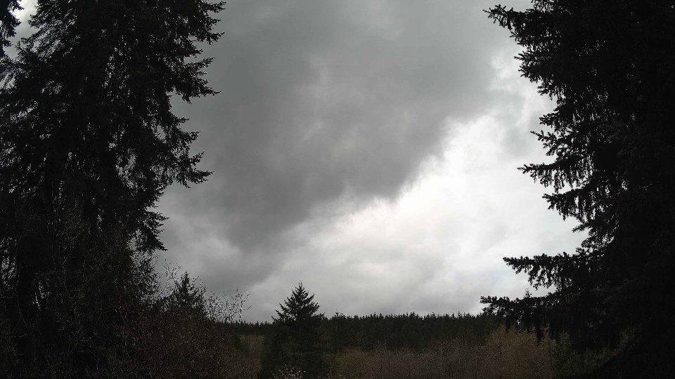
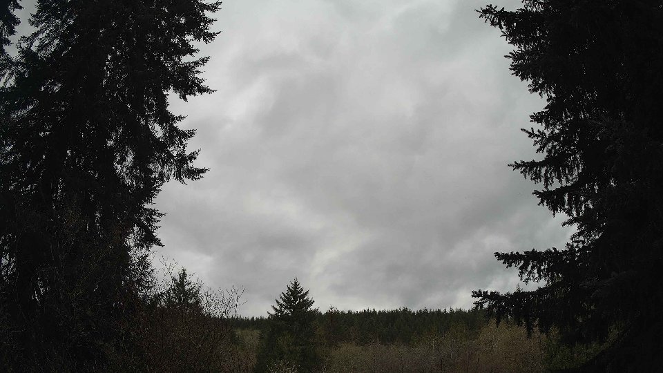
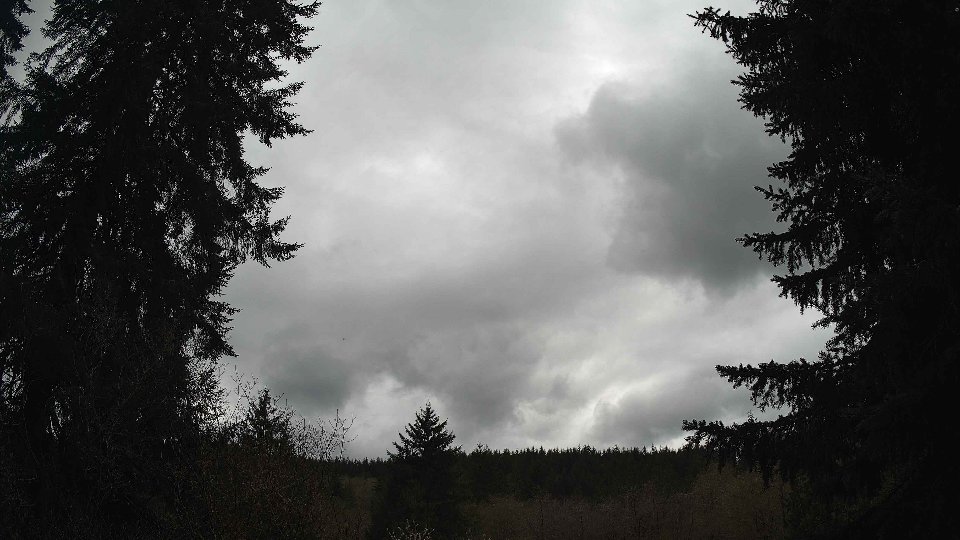
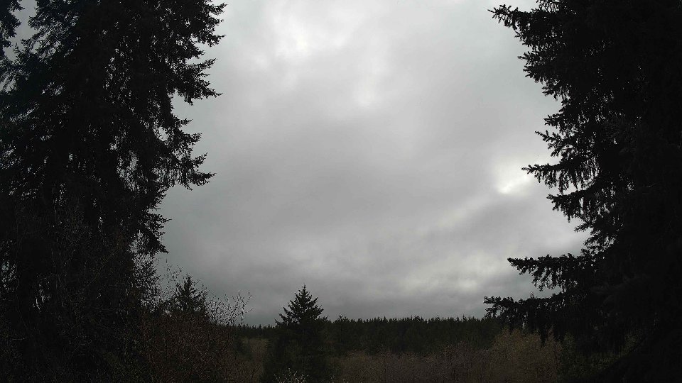
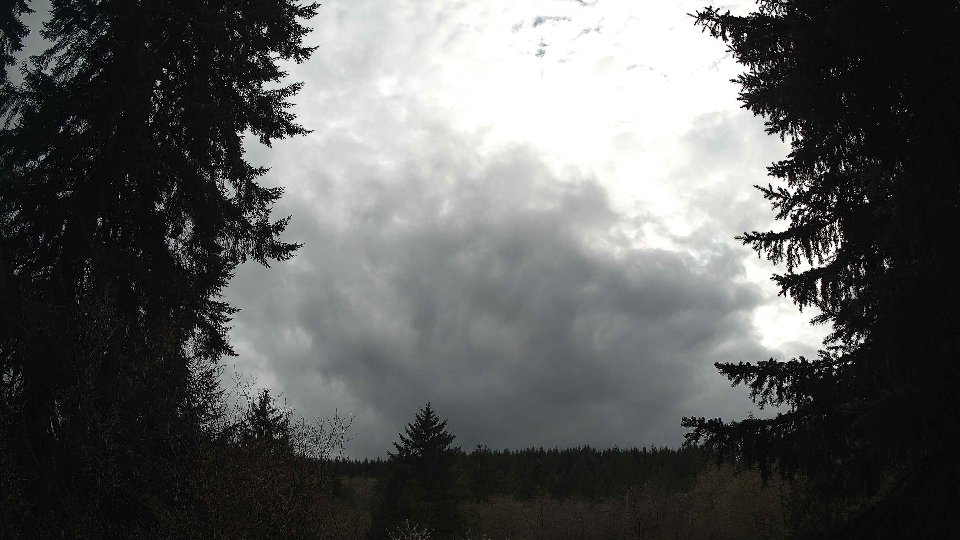
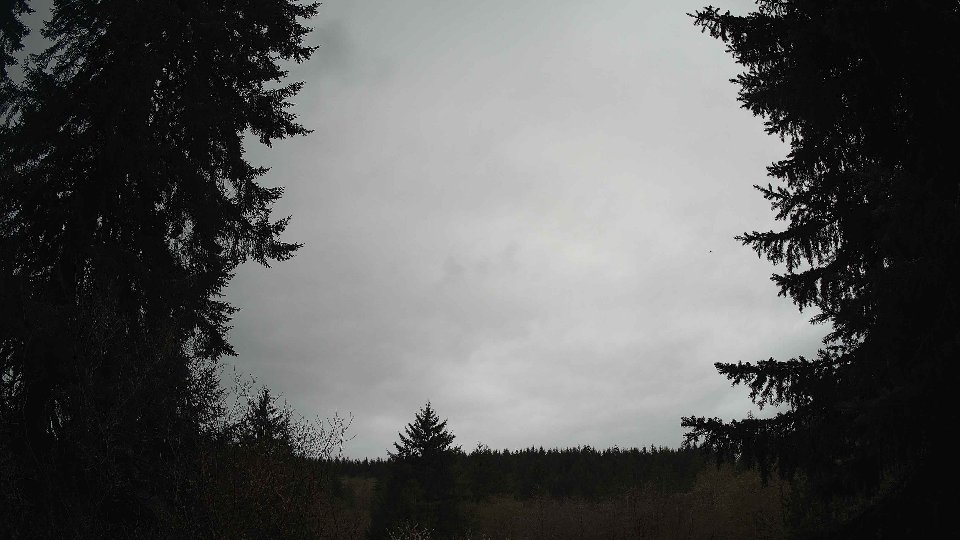
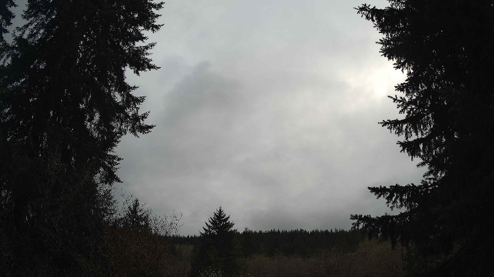
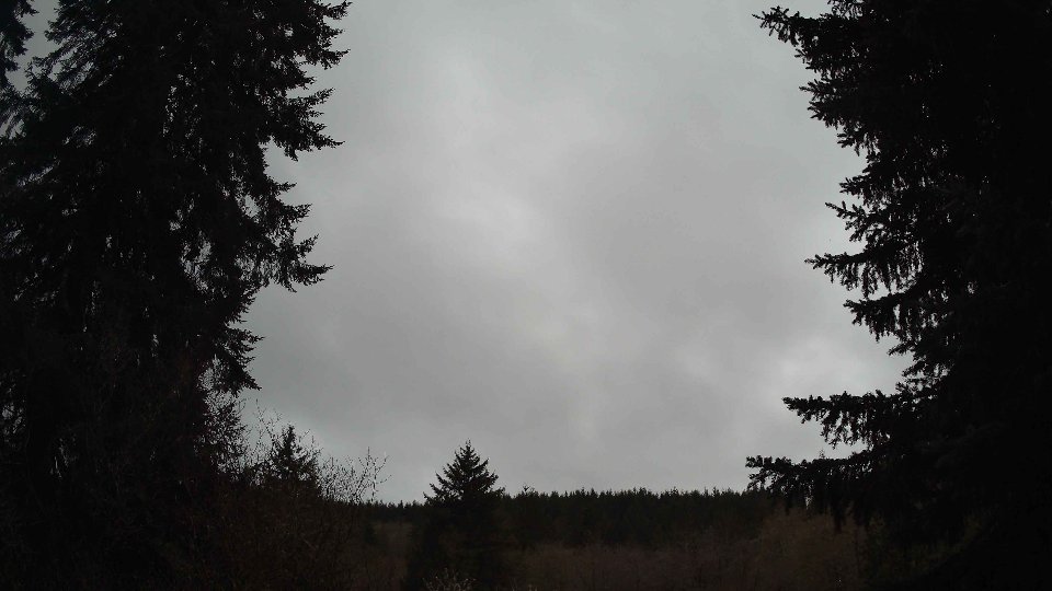
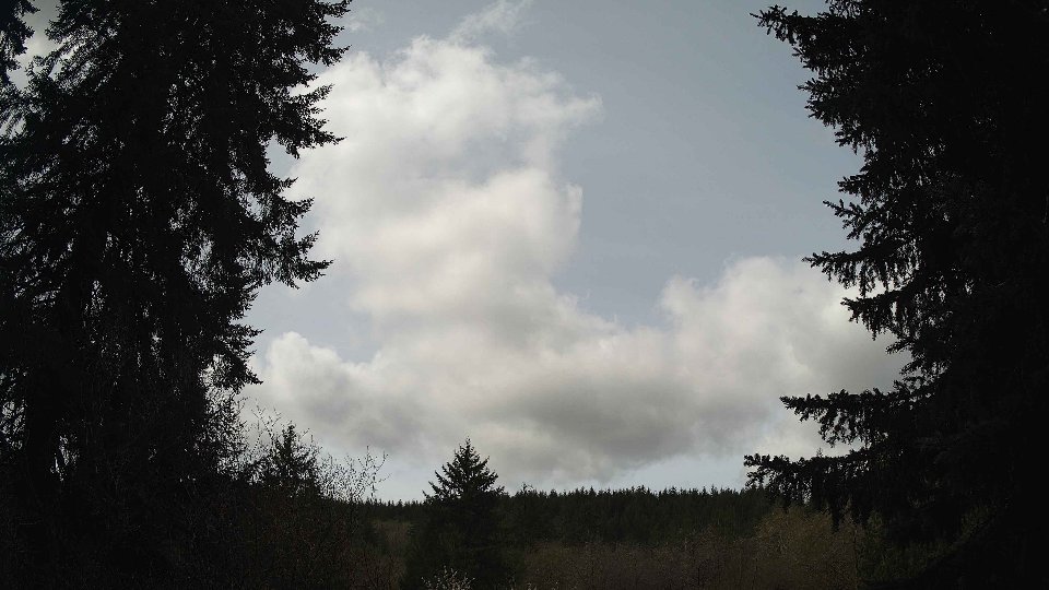
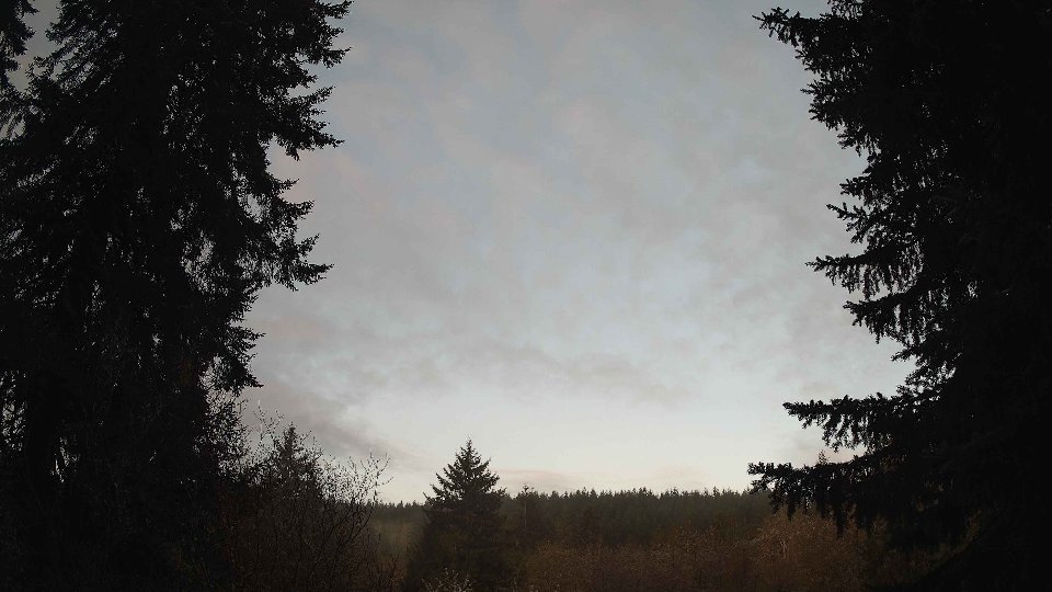
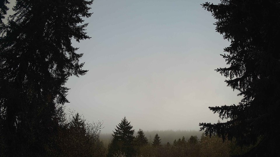
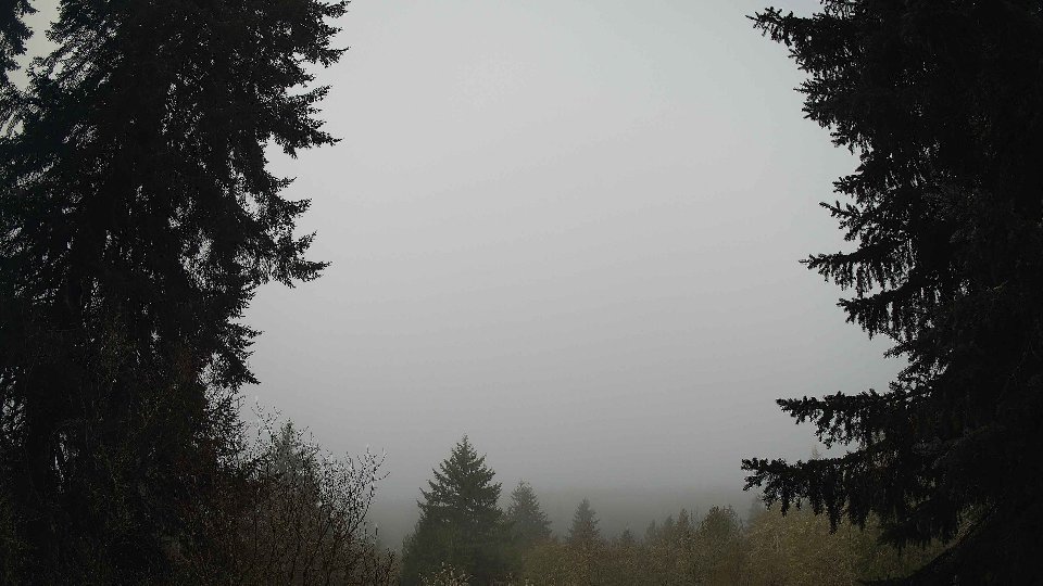
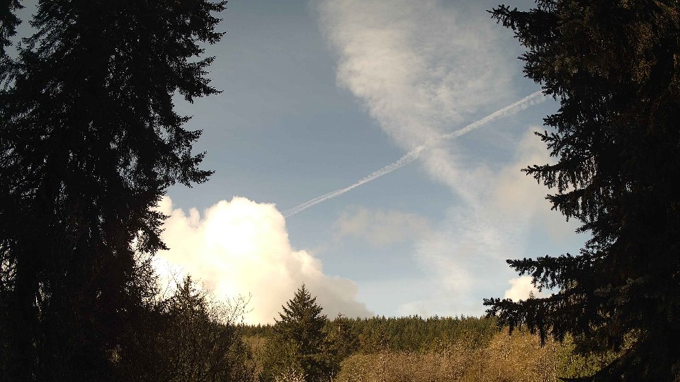
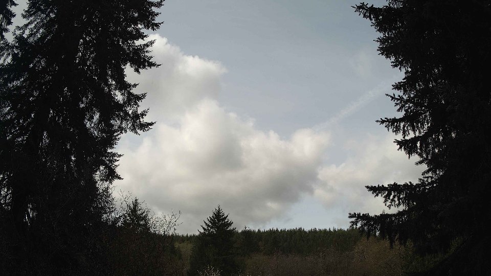
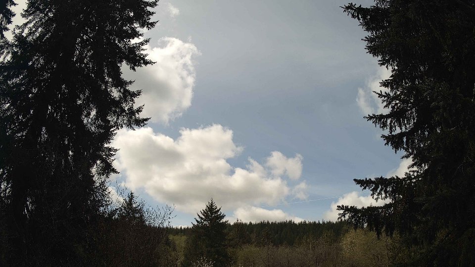
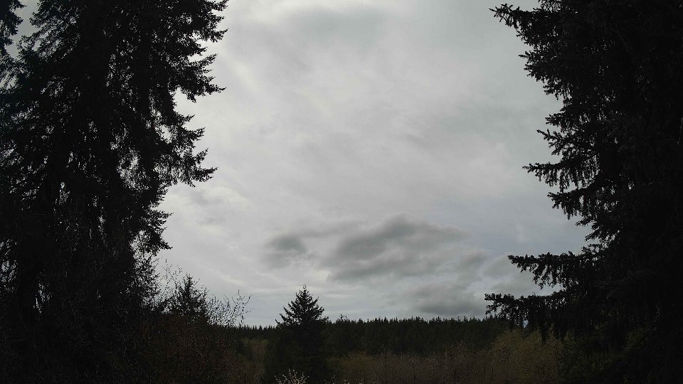
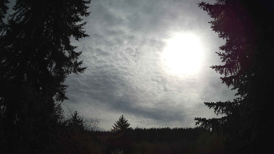
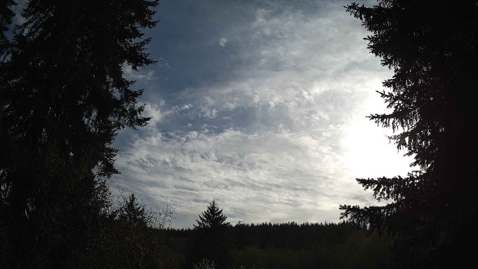
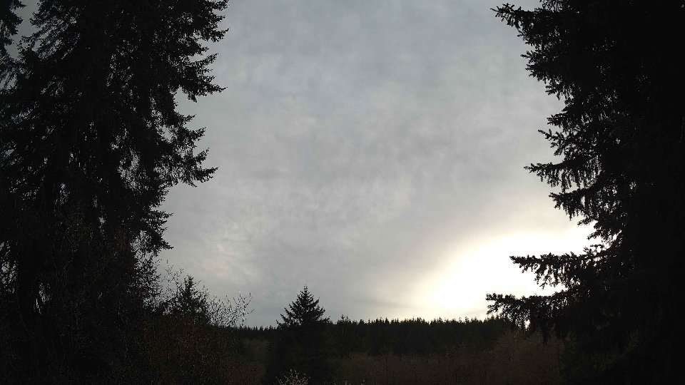
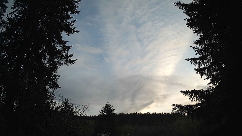
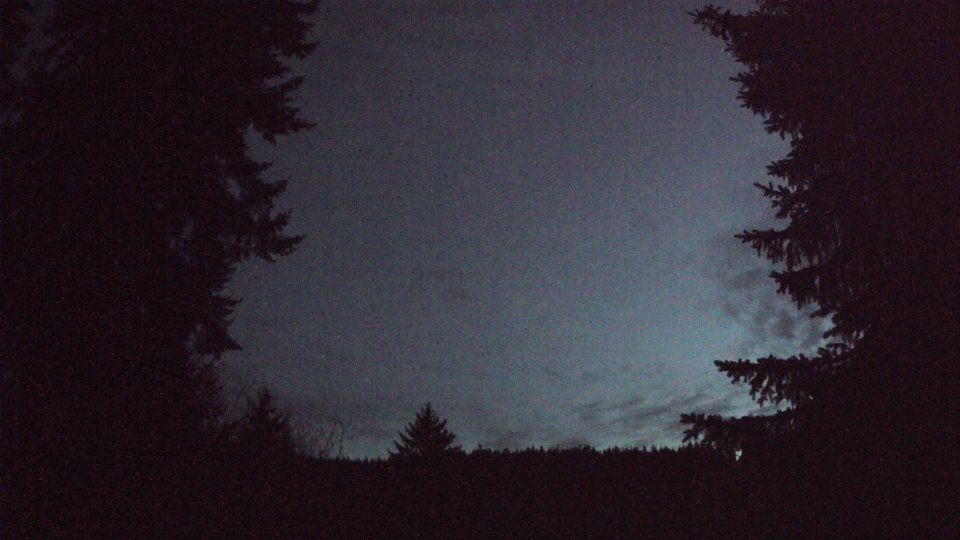
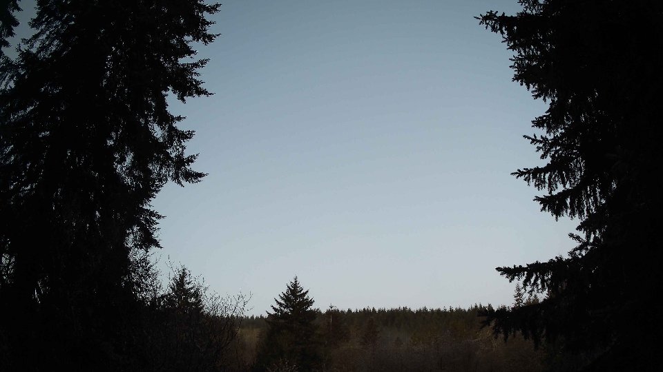
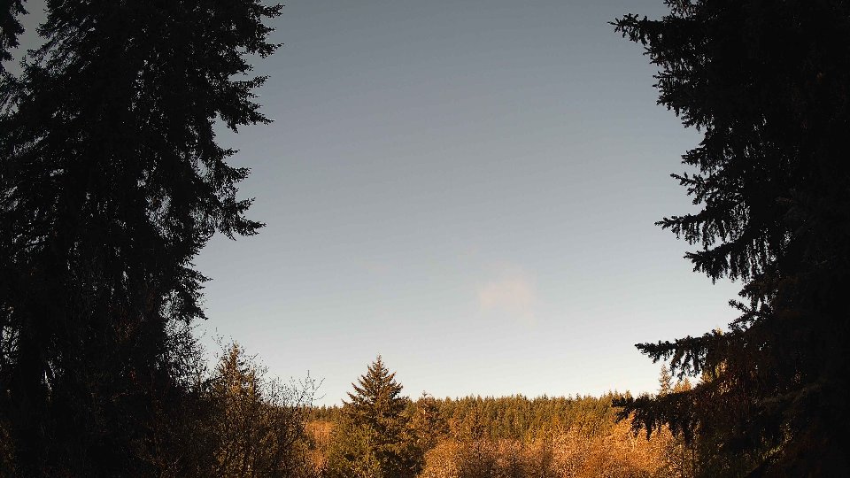
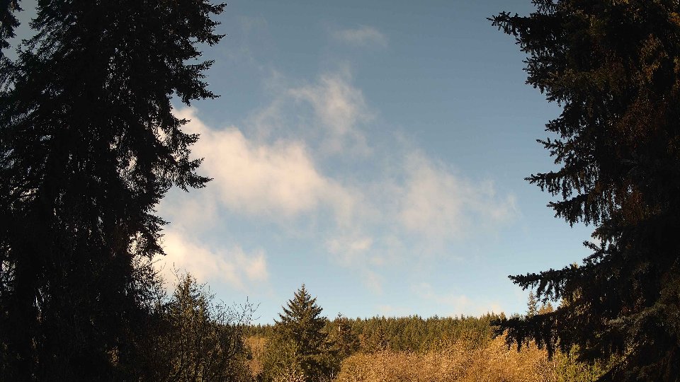
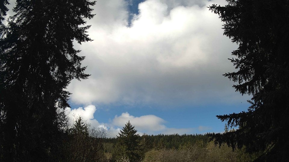
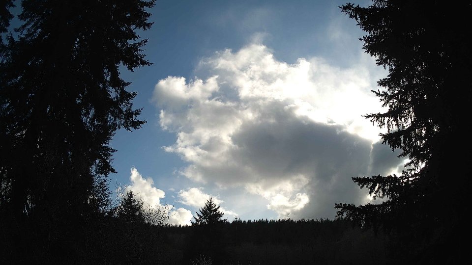
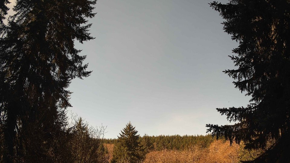
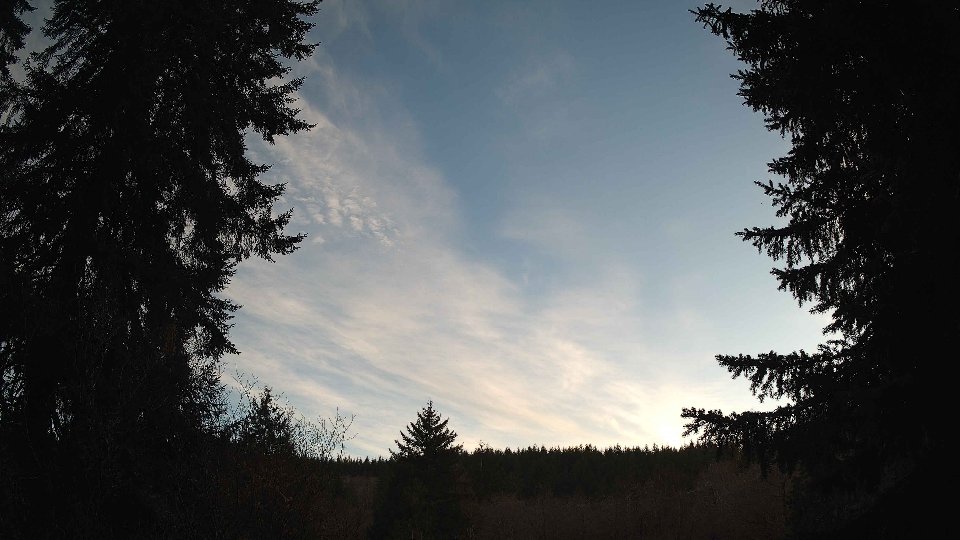
On April 14th, the morning began under a blanket of thick clouds, as the sky was completely covered at 100% cloud cover. Surface winds averaged a gentle 8.2 mph, but the scenario changed dramatically just 100 meters above ground, where winds picked up significantly to an average of 14.4 mph. This notable difference between surface and aloft winds created a sense of turbulence, likely stirring the already dense cloud layers. Low clouds constituted 96.8% of the total cloud cover, while mid-level clouds reached nearly 100%. High clouds also contributed, cloaking the sky in a gray hue. A light drizzle added to the damp atmosphere, with 0.01 inches of precipitation observed, hinting at the moisture-rich air that was prevalent throughout the morning.
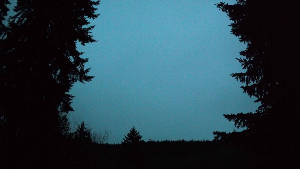
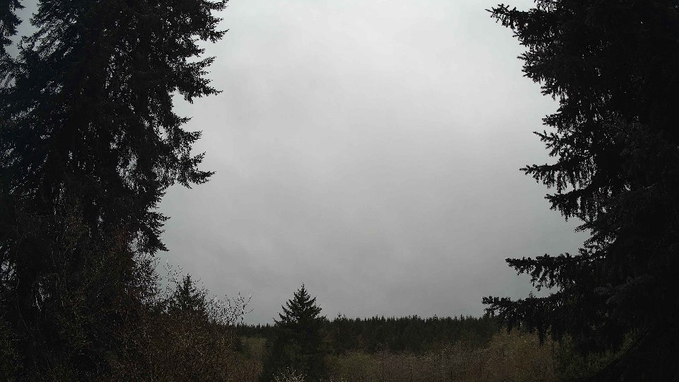
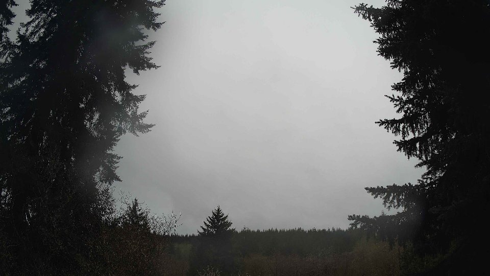
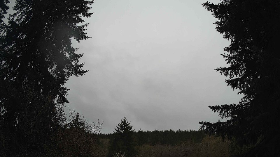
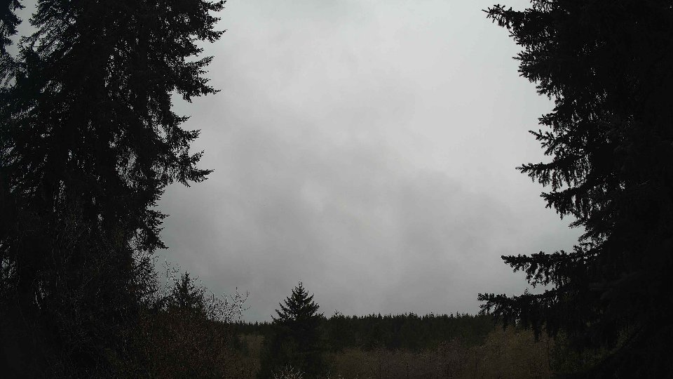
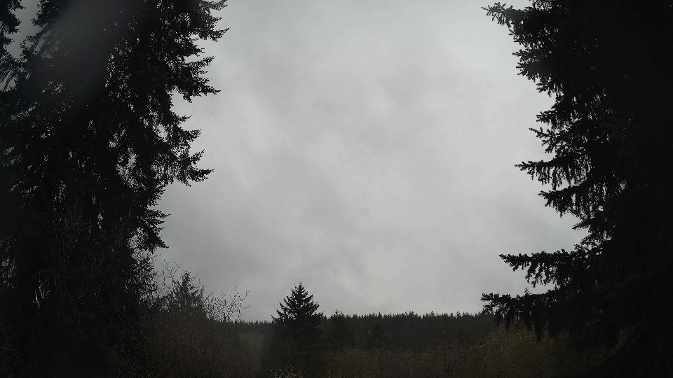
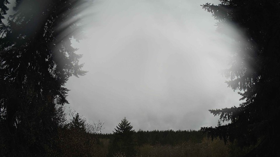
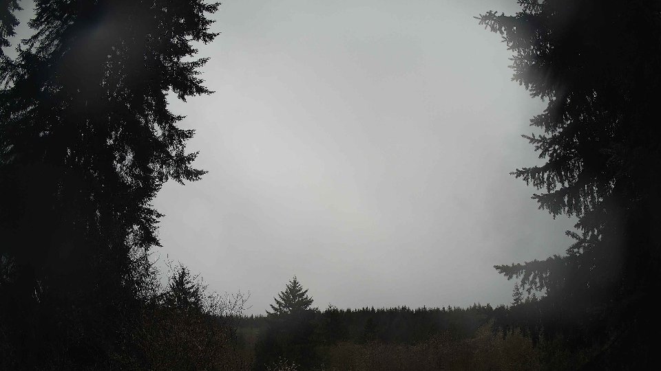
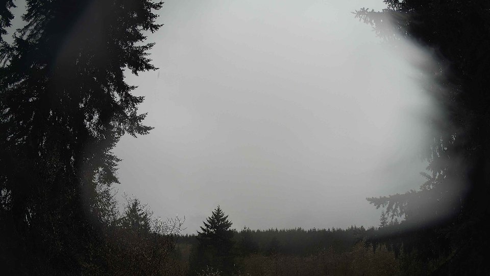
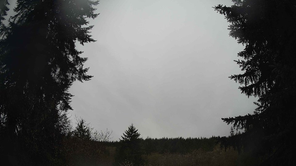
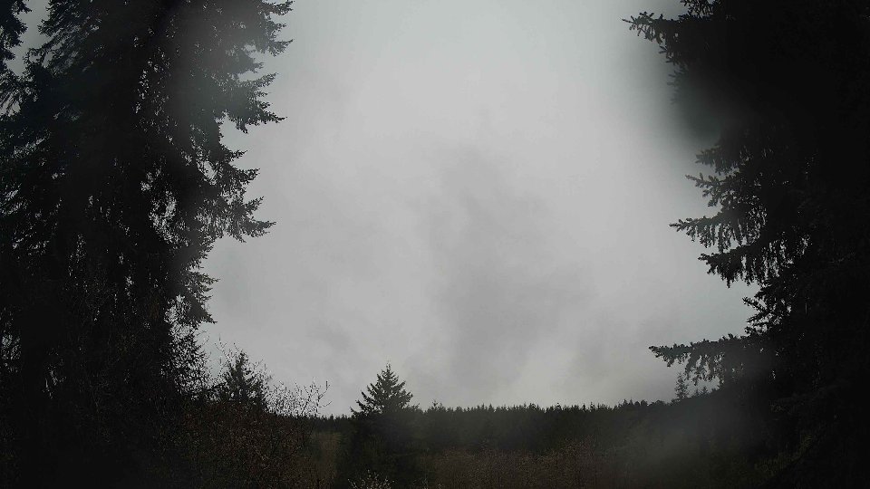
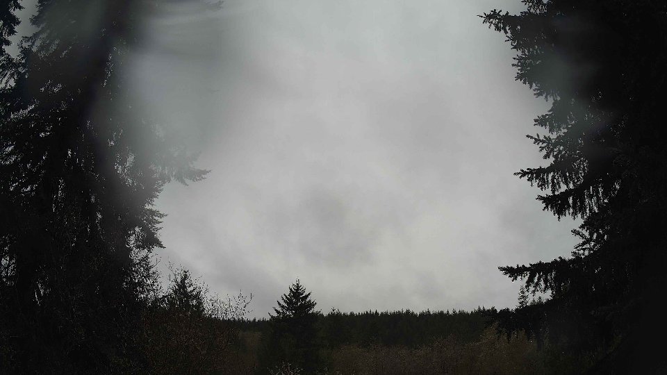
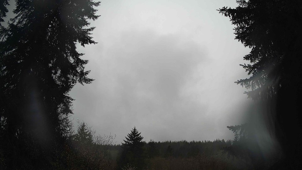
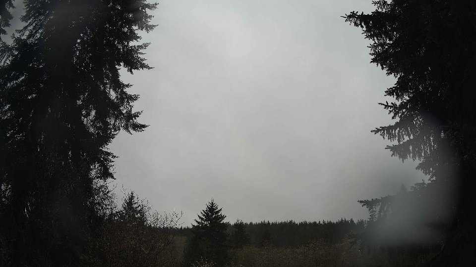
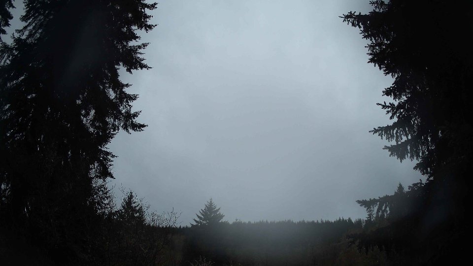
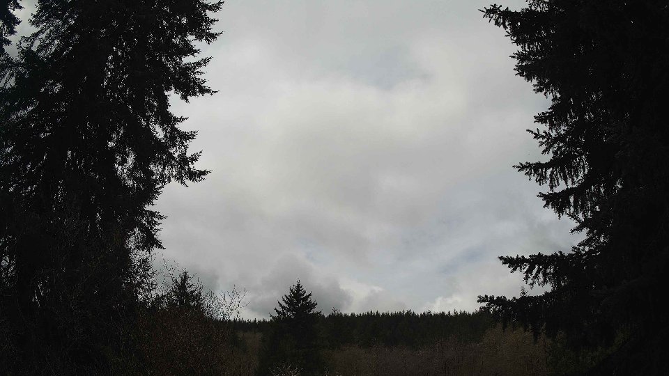
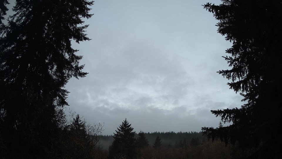
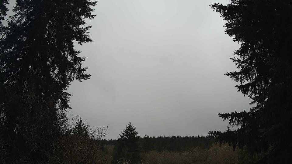
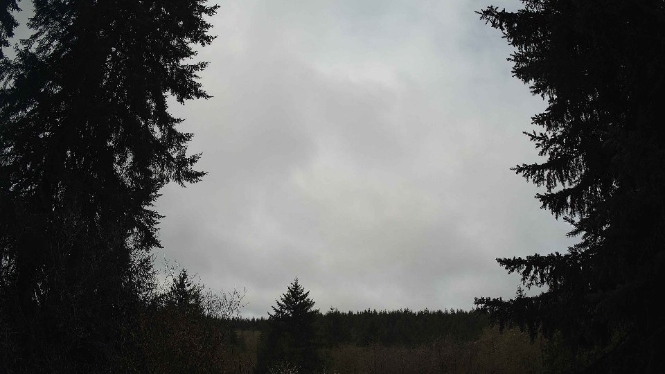
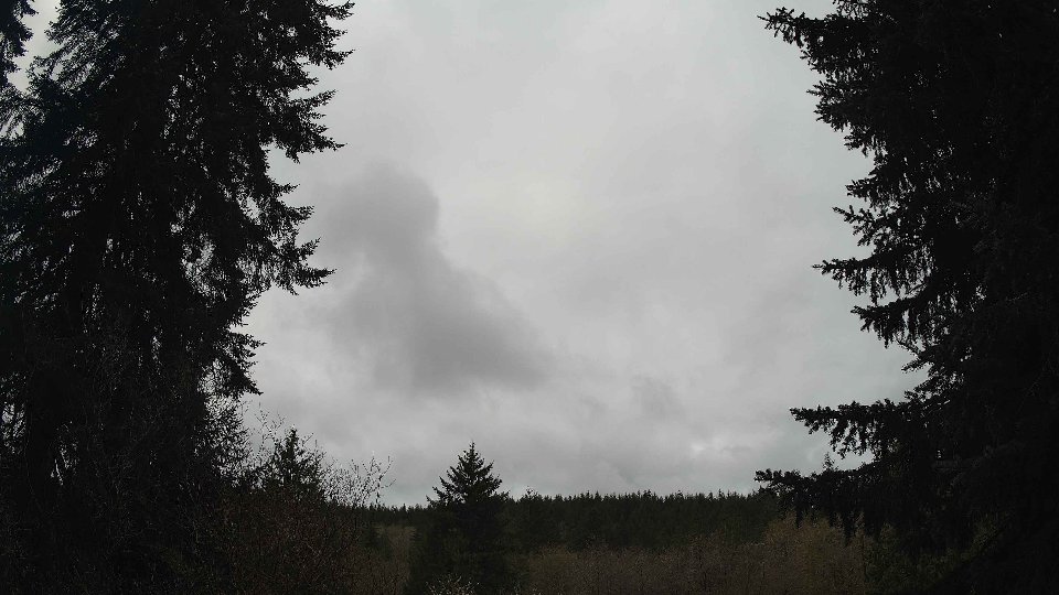
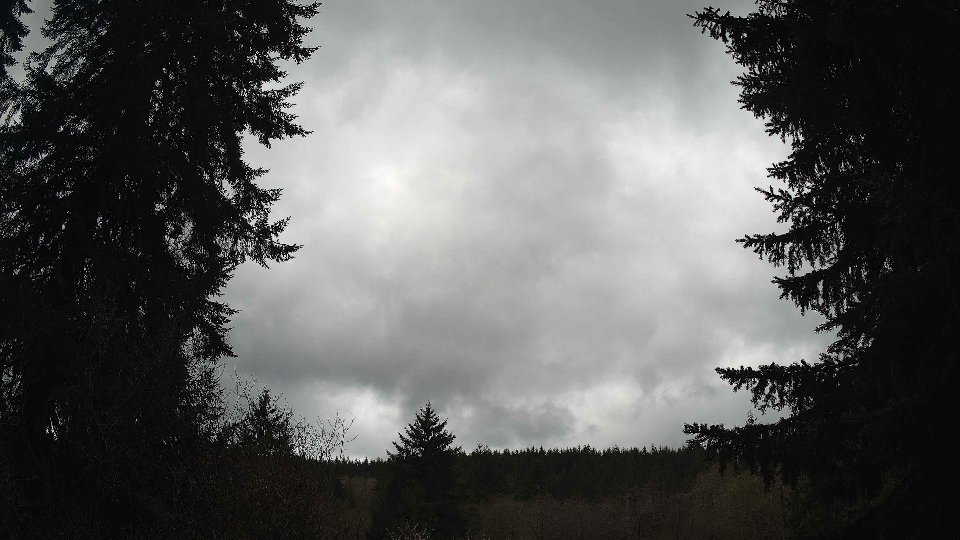
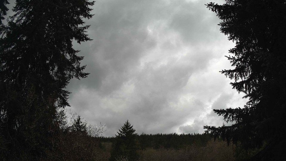
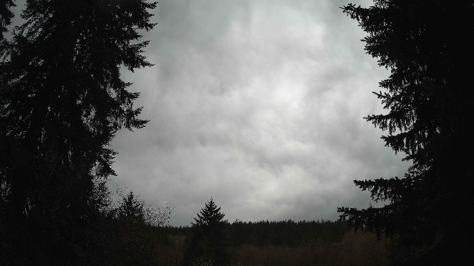
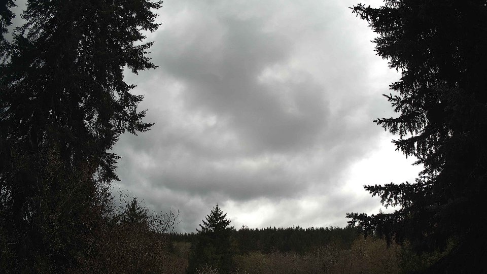
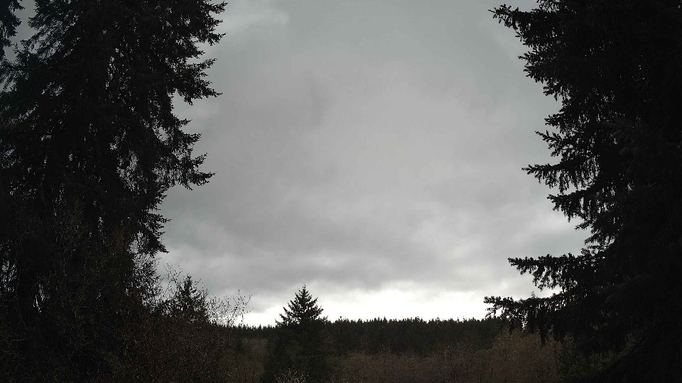
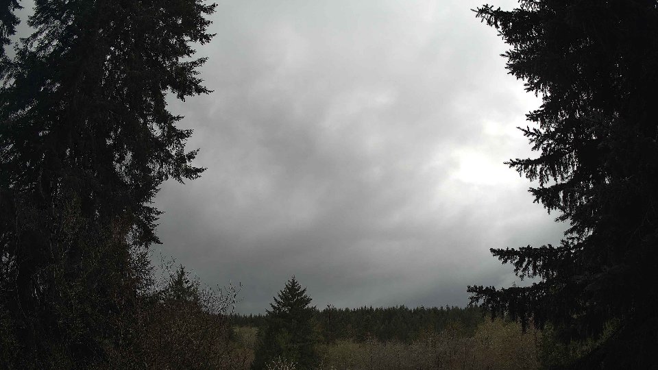
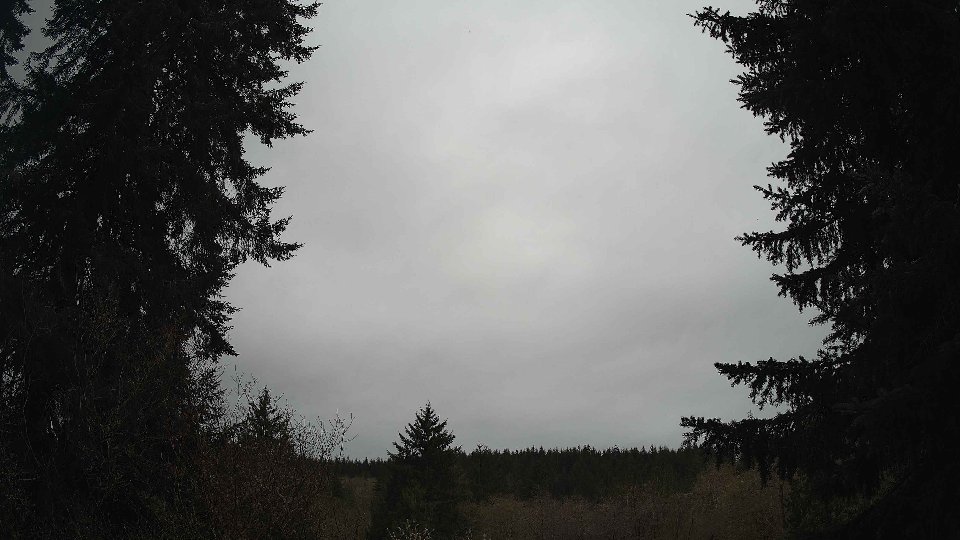
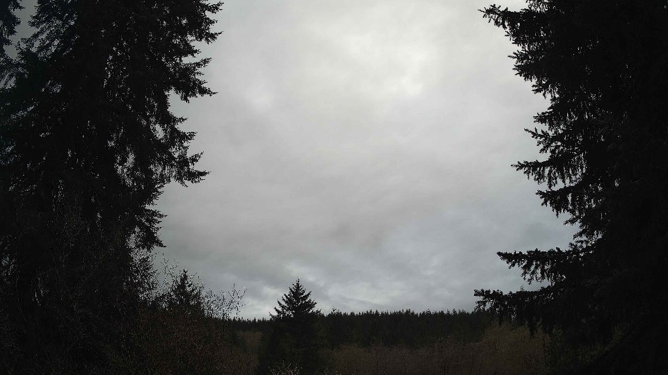
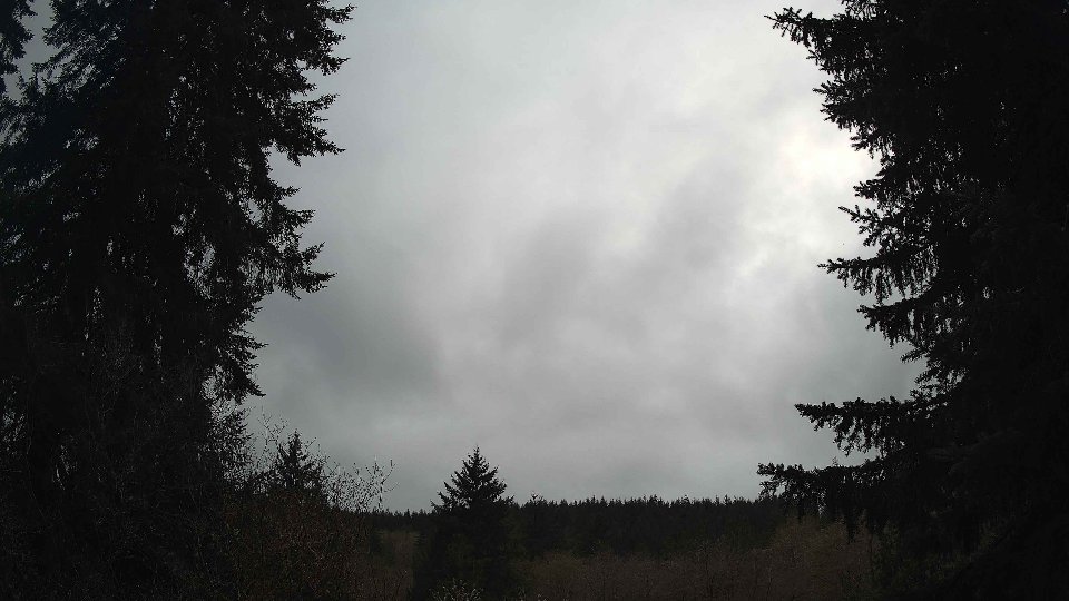
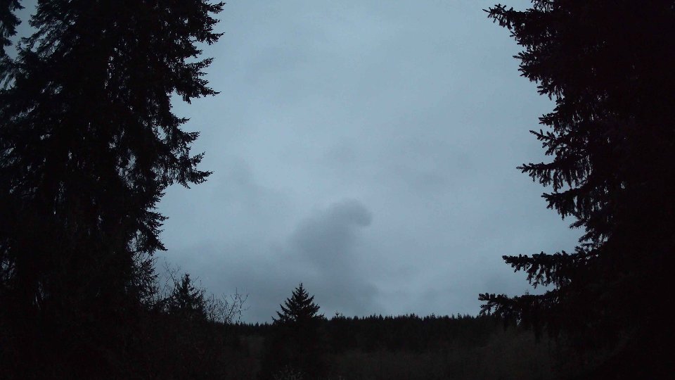
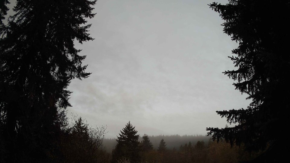
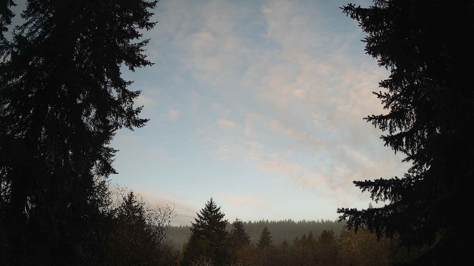
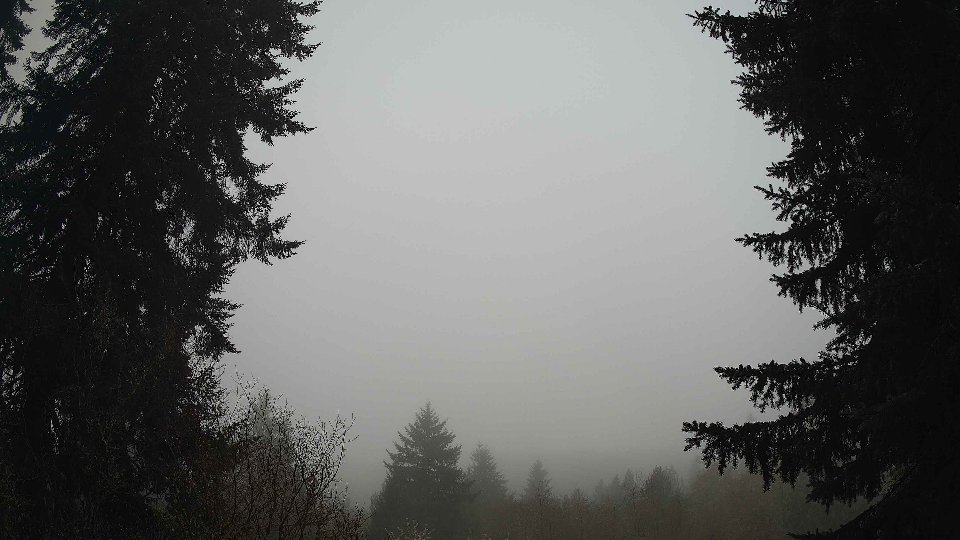
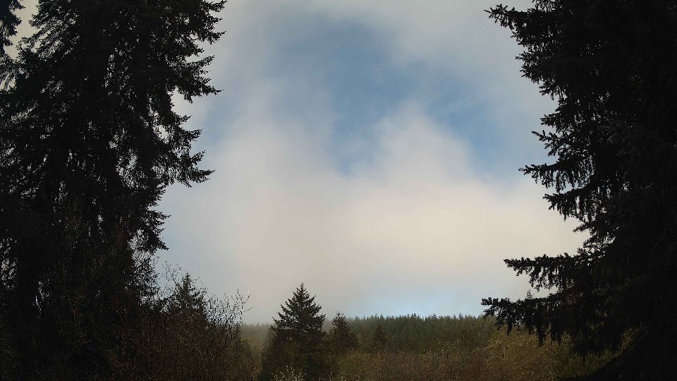
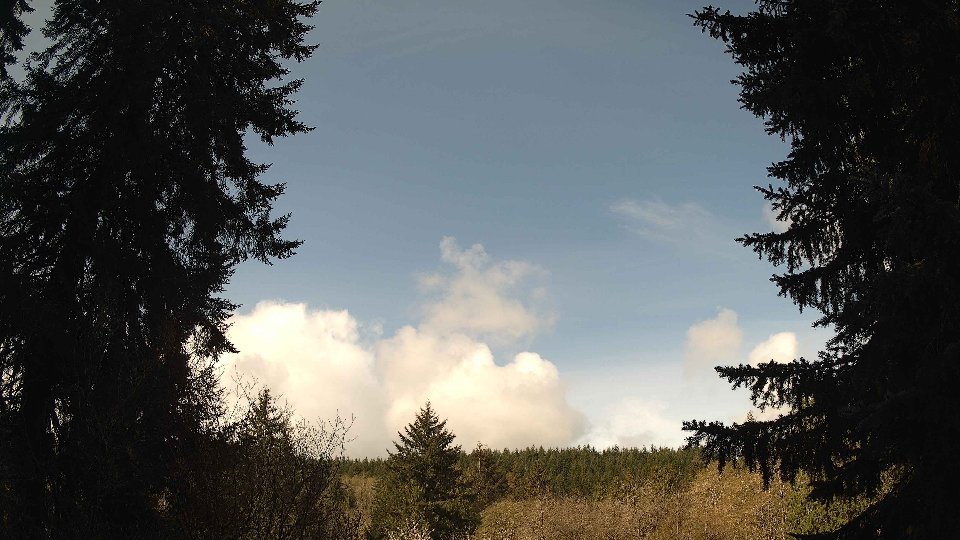
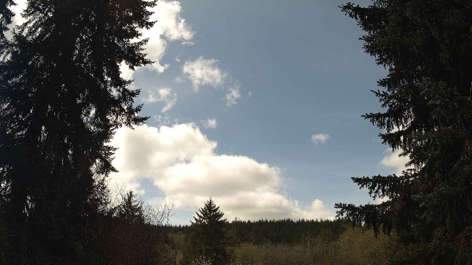
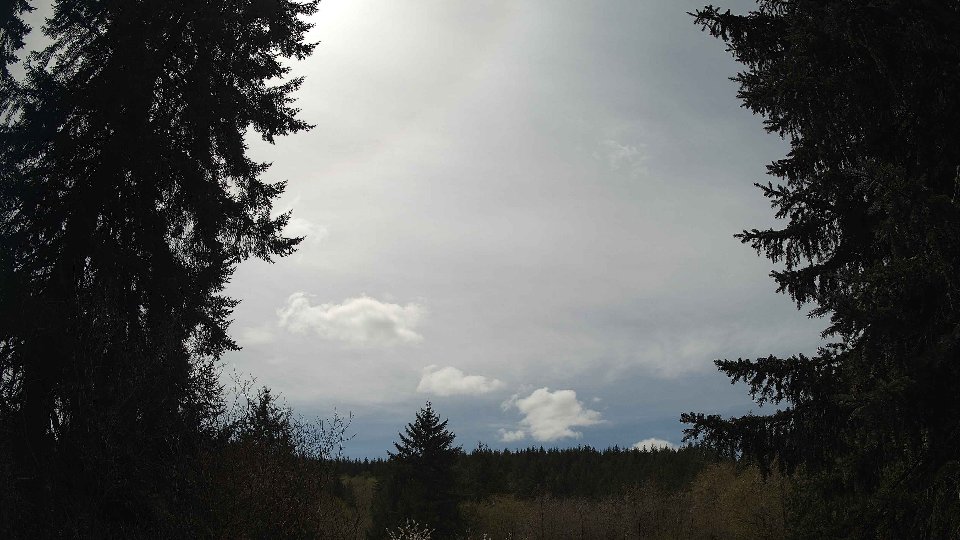
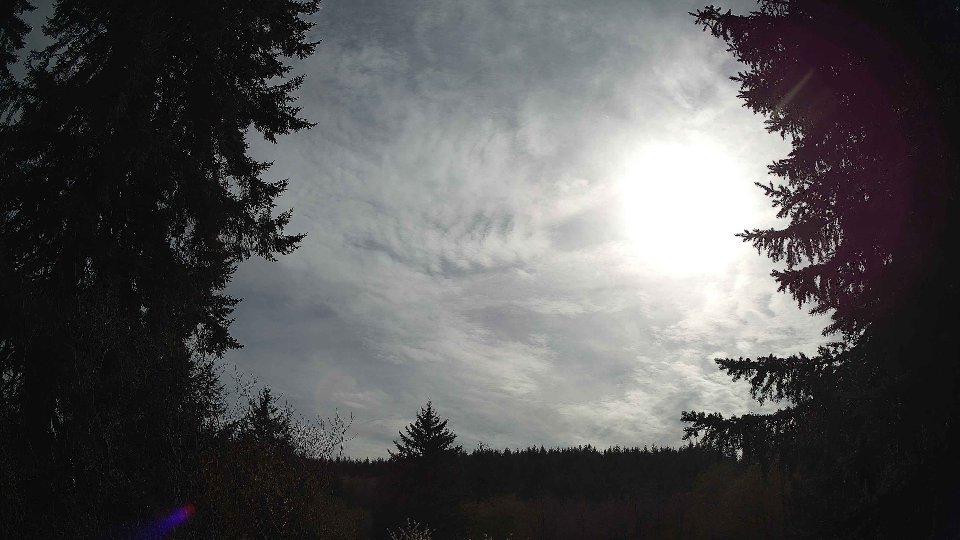
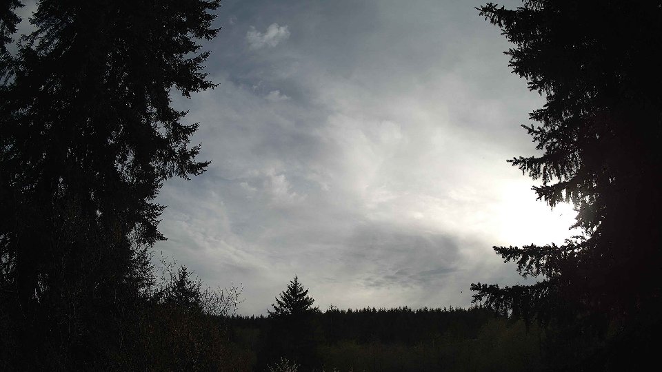
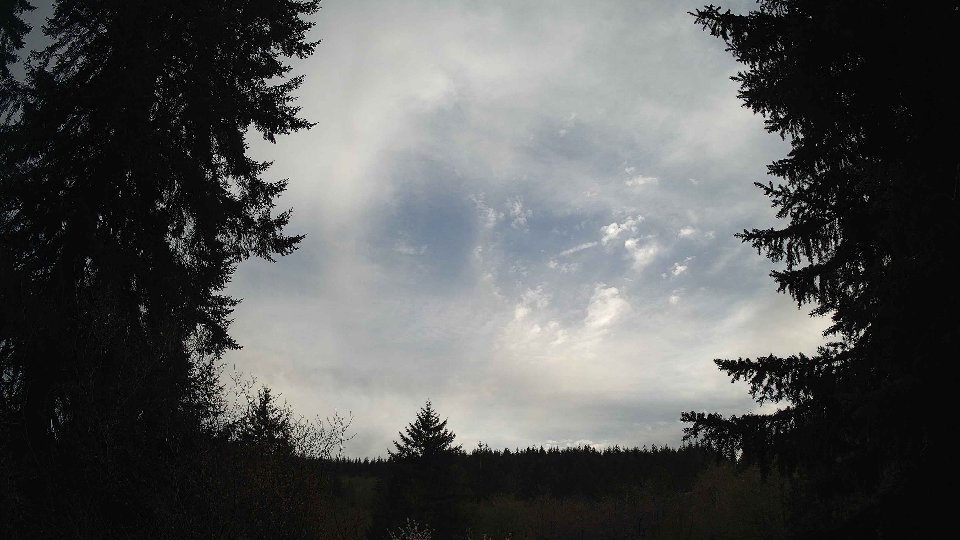
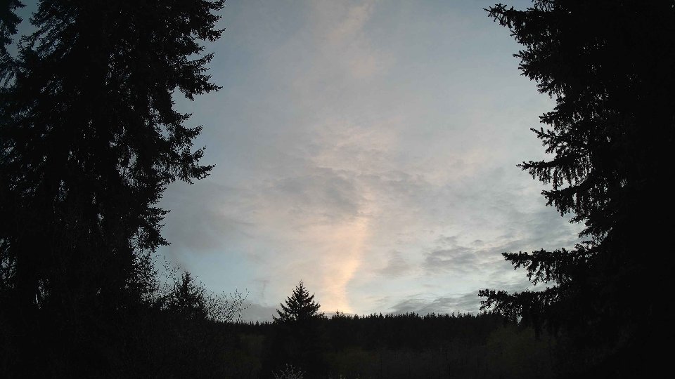
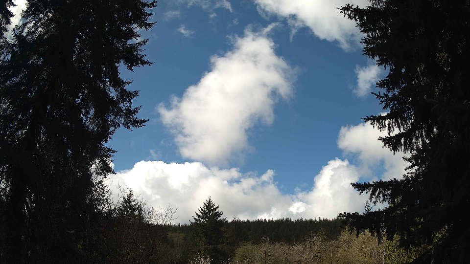
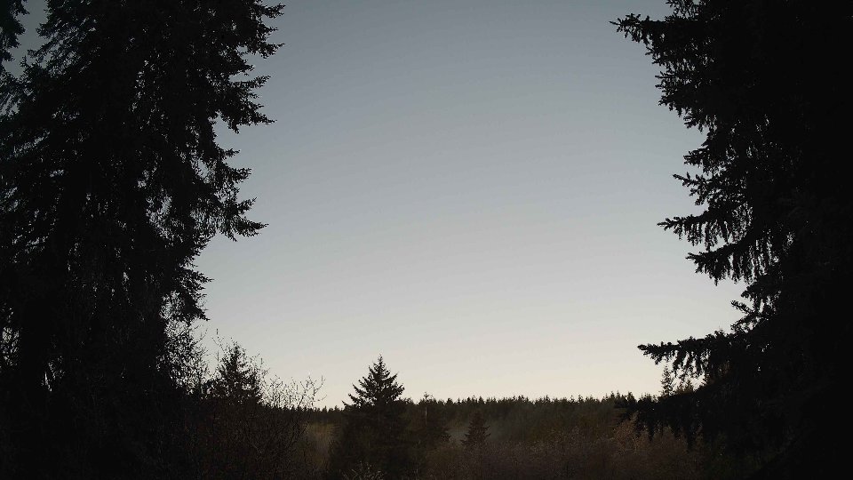
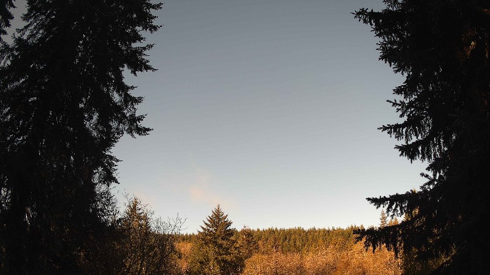
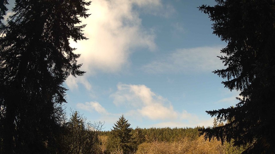
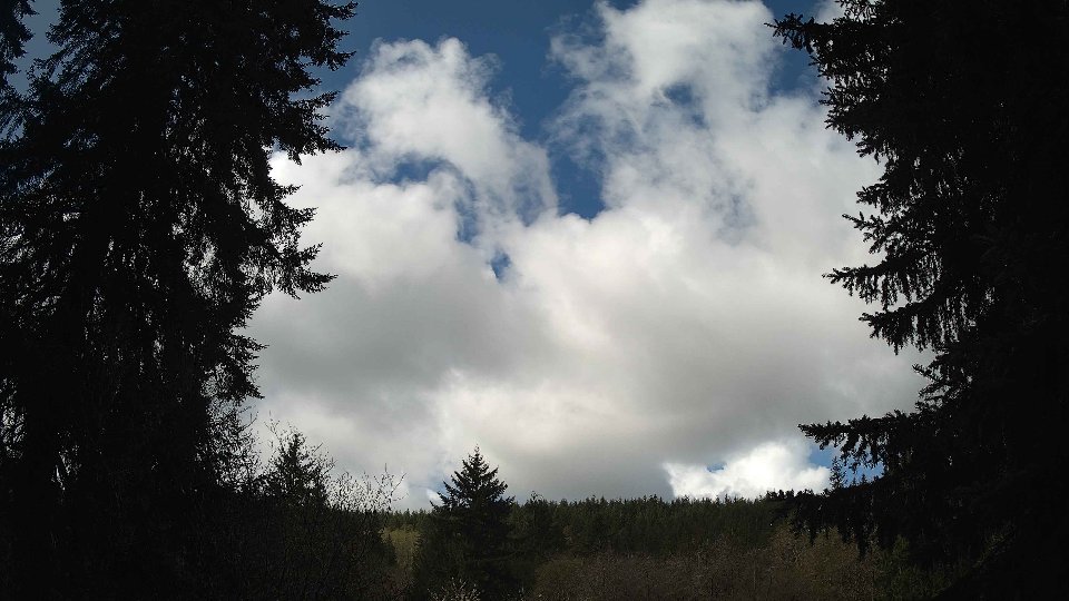
As the day progressed into midday, the winds continued to strengthen slightly at both surface and aloft levels, with surface winds averaging 11.1 mph and upper winds peaking at 17.5 mph. The cloud cover maintained its steadfast grip on the sky, now uniformly at 100%, with low and mid-level clouds both remaining nearly entirely saturated. This extent of cloud cover, bolstered by the increased winds, allowed for rapid movement of the cloud layers, creating an ever-changing tapestry overhead. The wind shear between the surface and higher altitudes likely contributed to the turbulence, causing the denser low clouds to billow and swirl, while lighter mid and high clouds drifted at a slightly different pace. This dynamic interaction led to a captivating, though gray, visual effect, as precipitation increased to 0.07 inches, reinforcing the feeling of an impending storm.
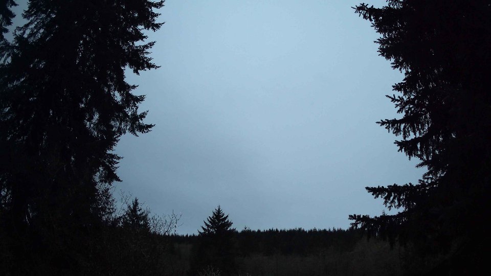
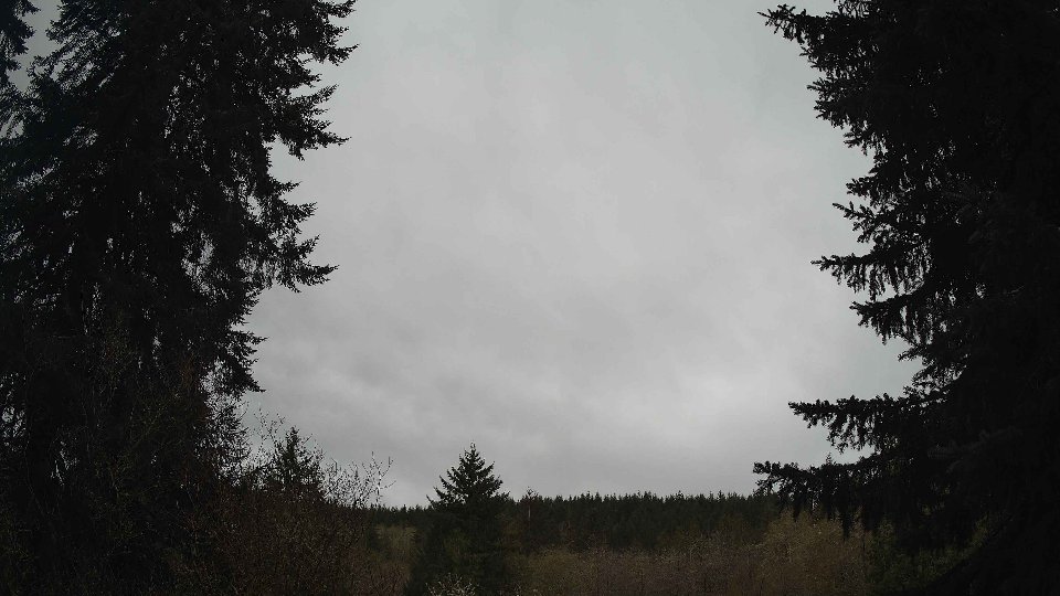
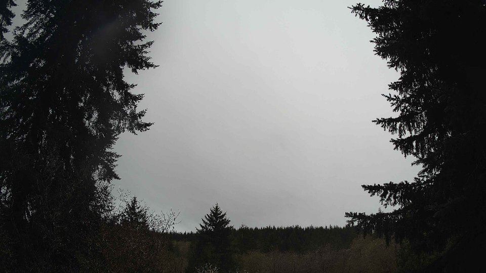
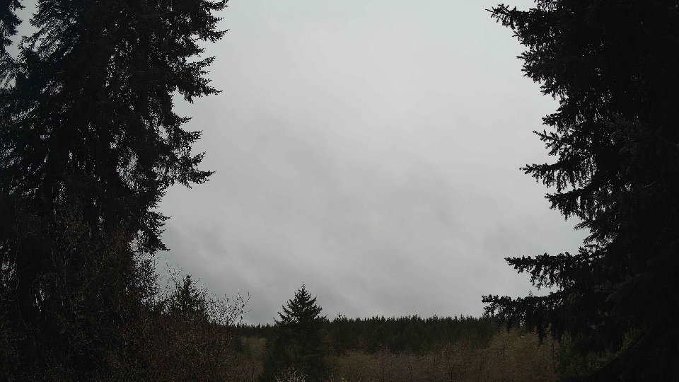
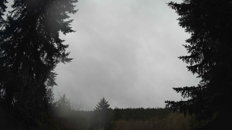
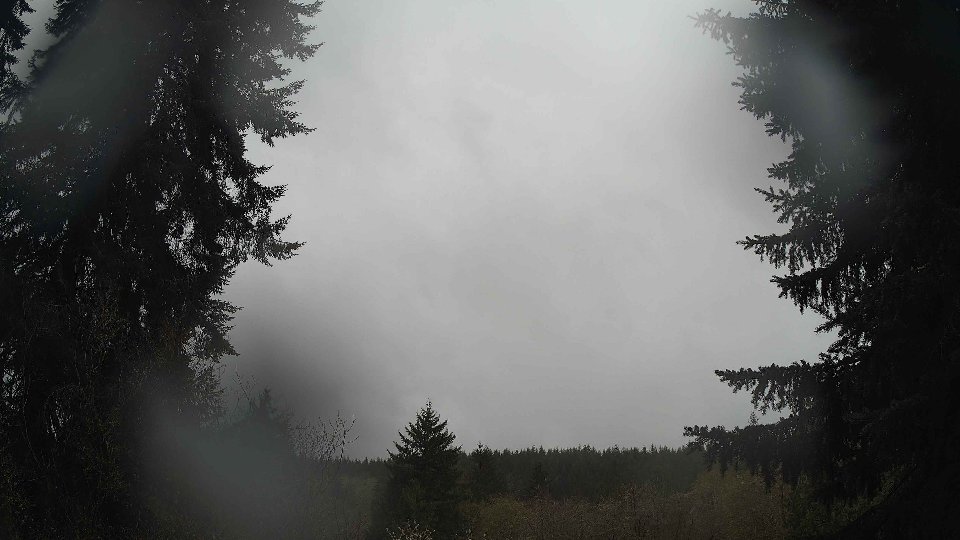
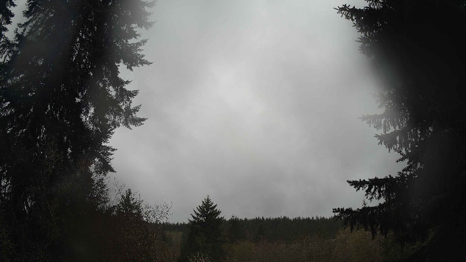
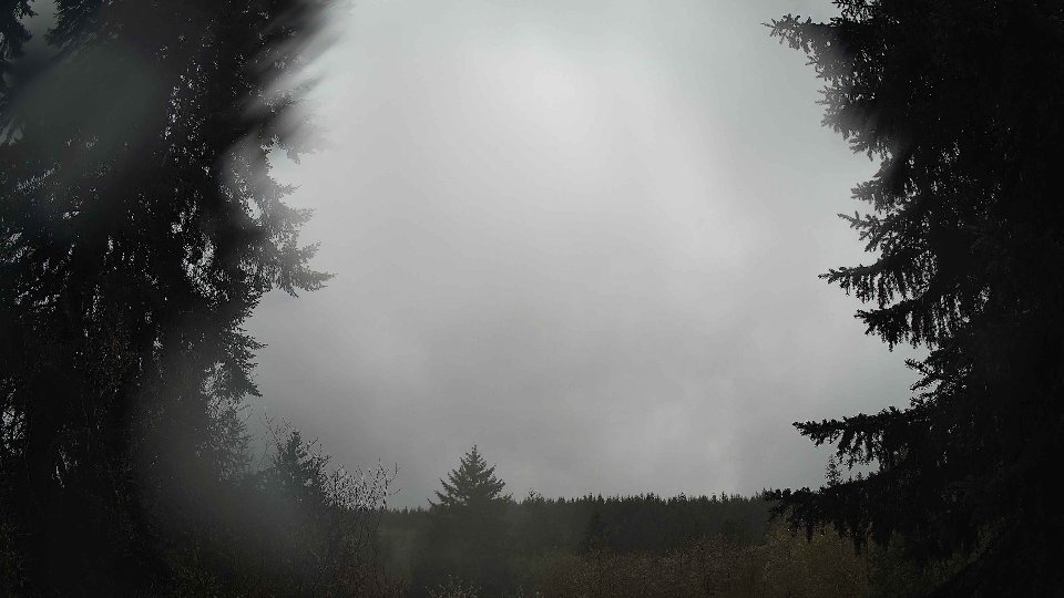
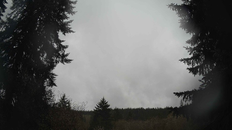
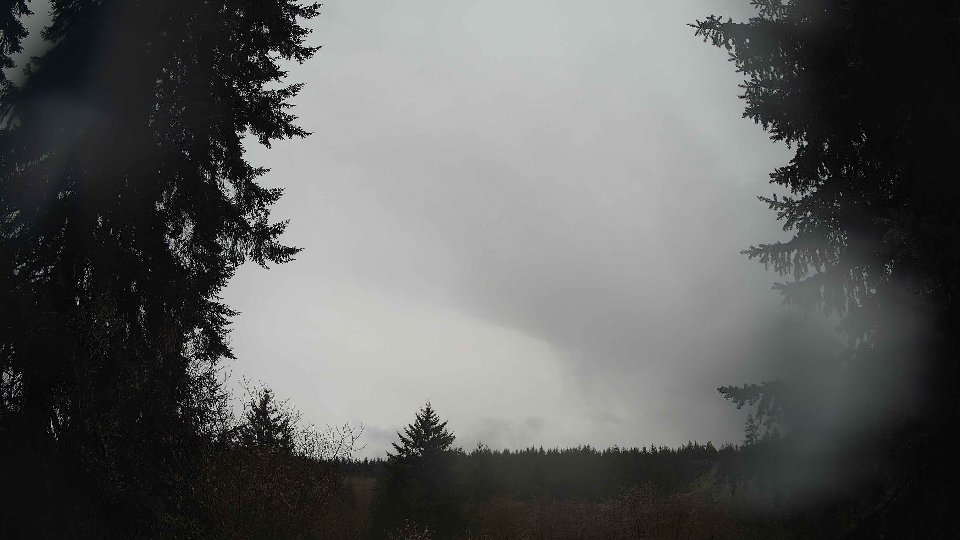
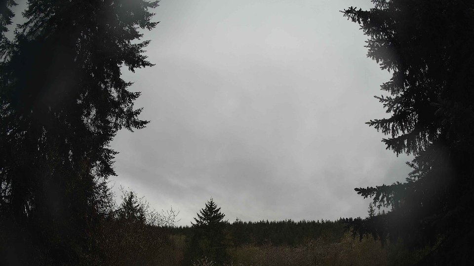
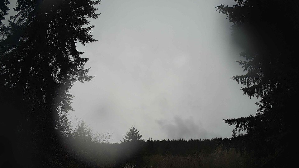
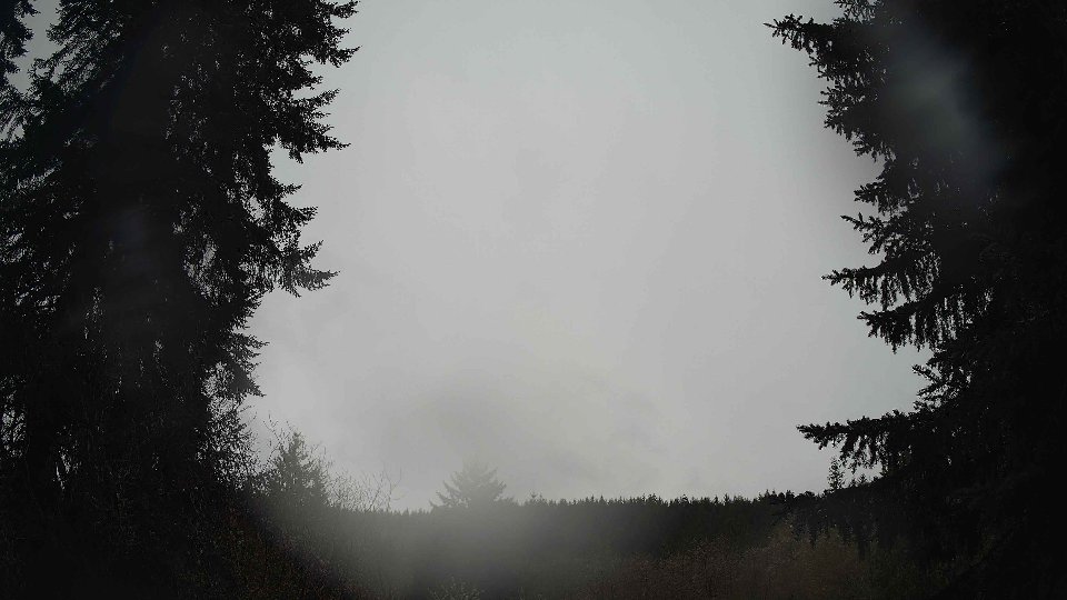
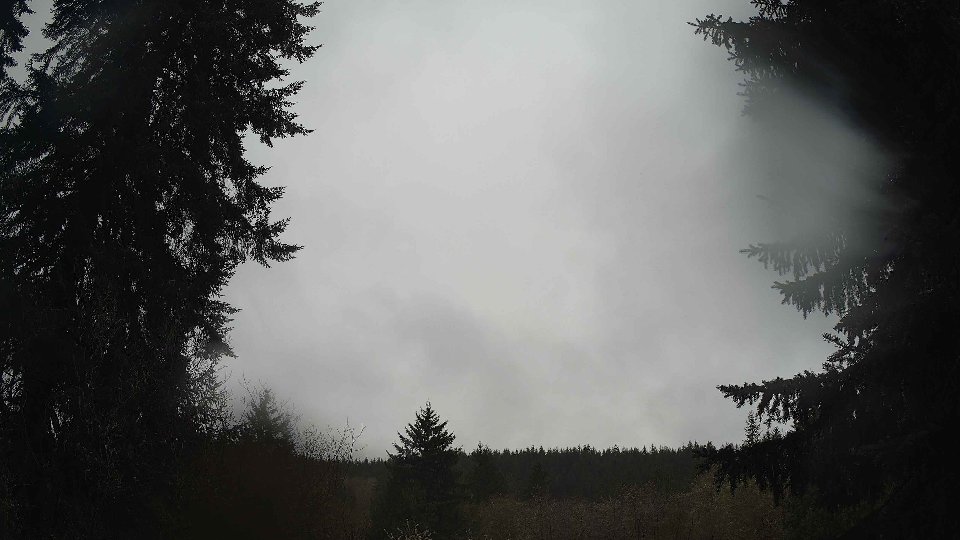
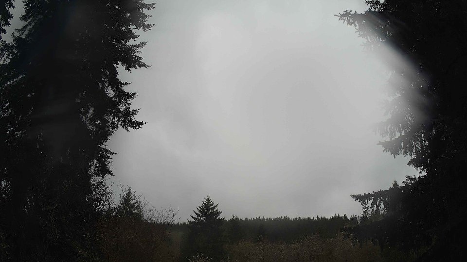
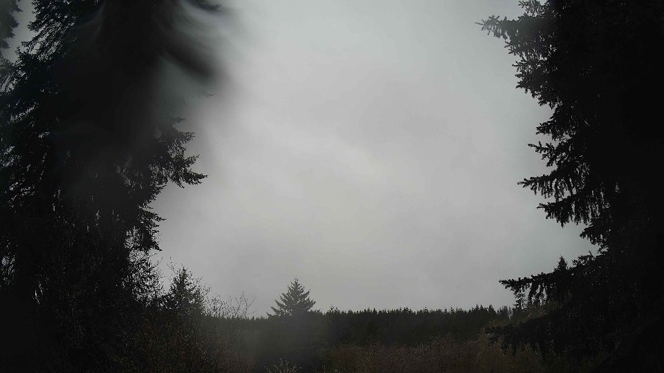
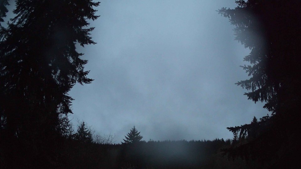
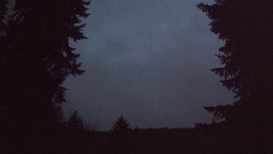
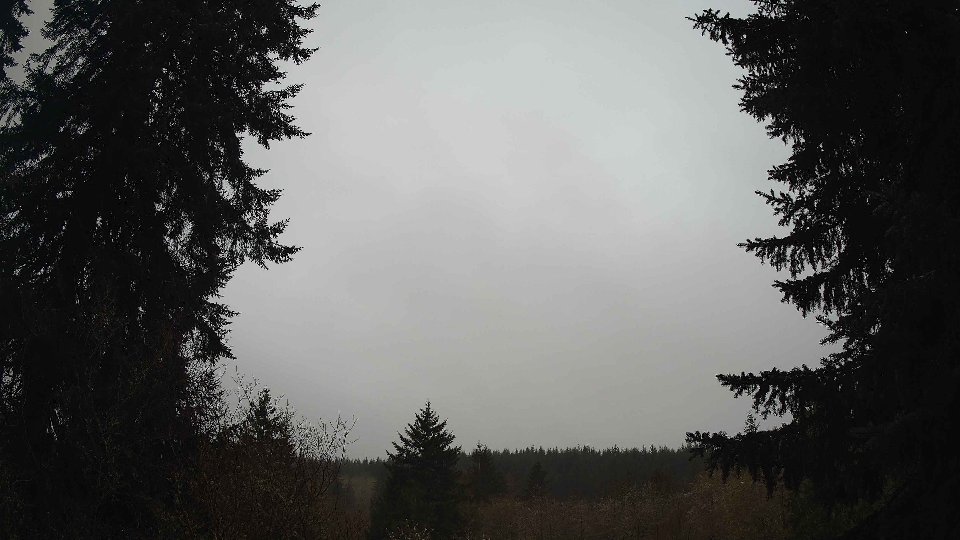
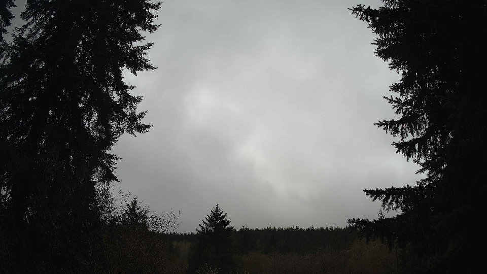
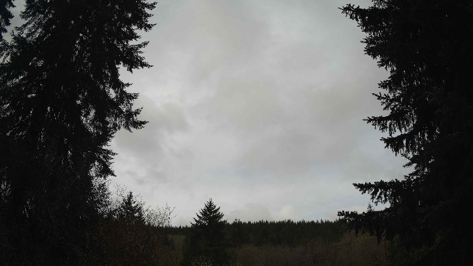
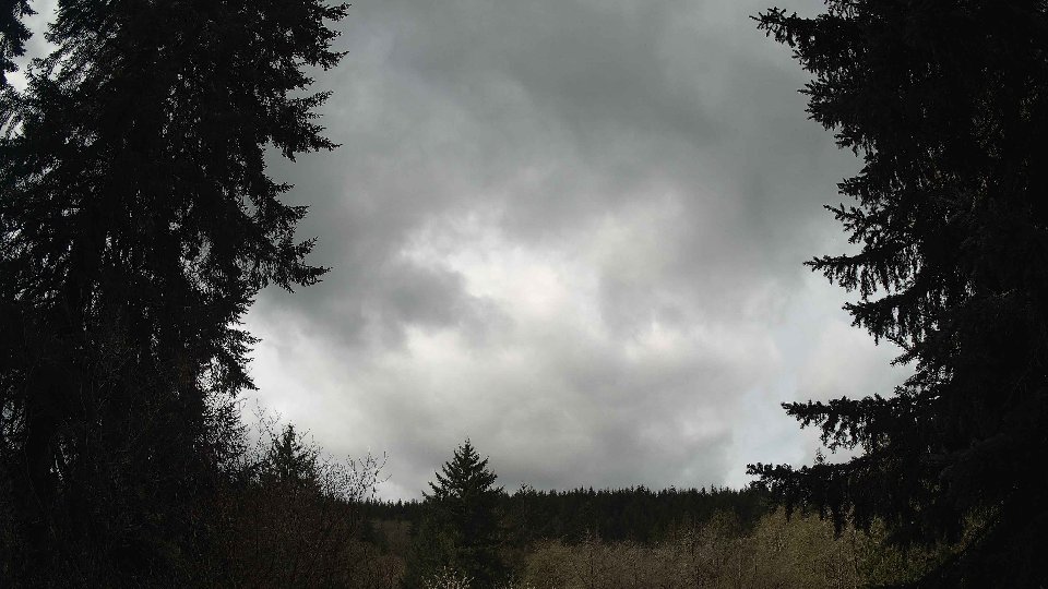
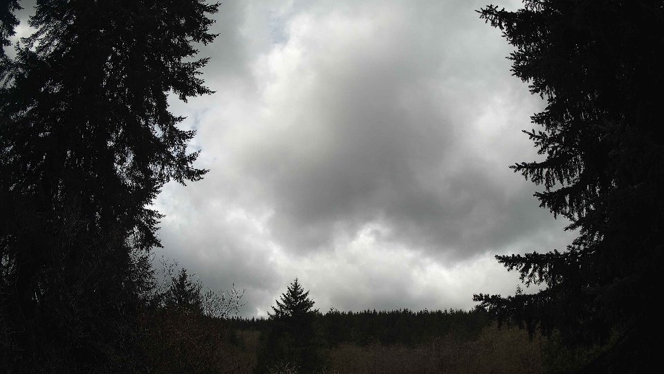
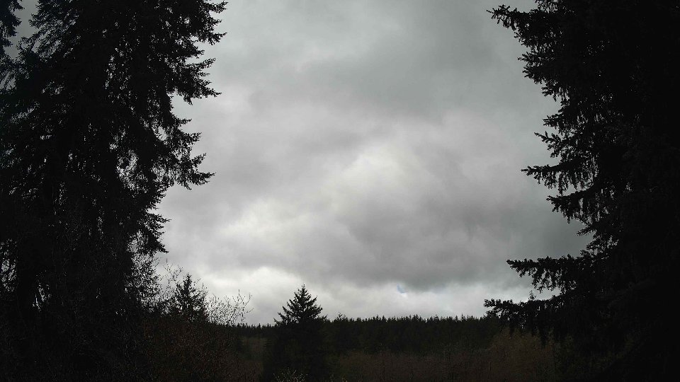
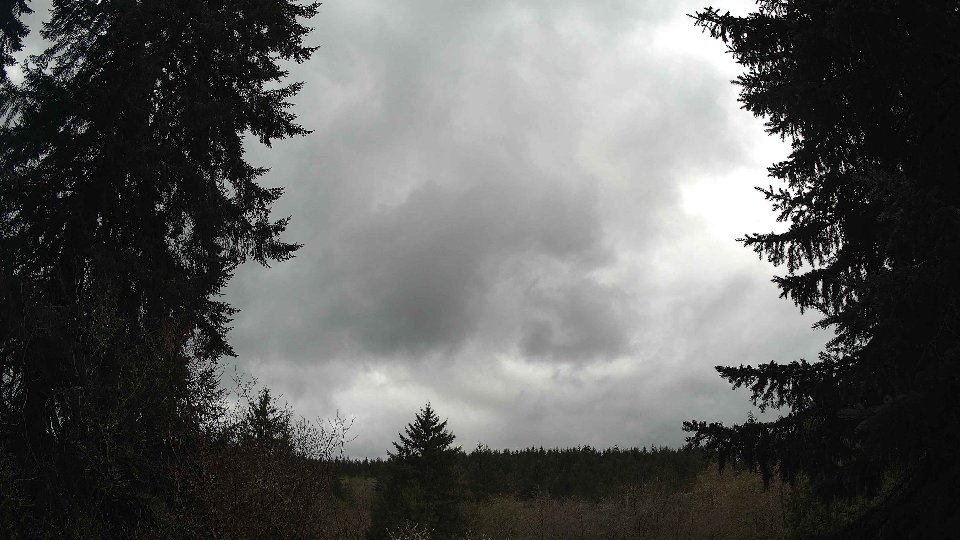
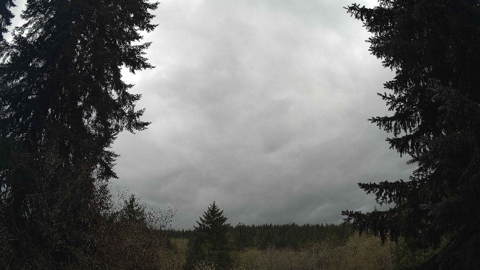
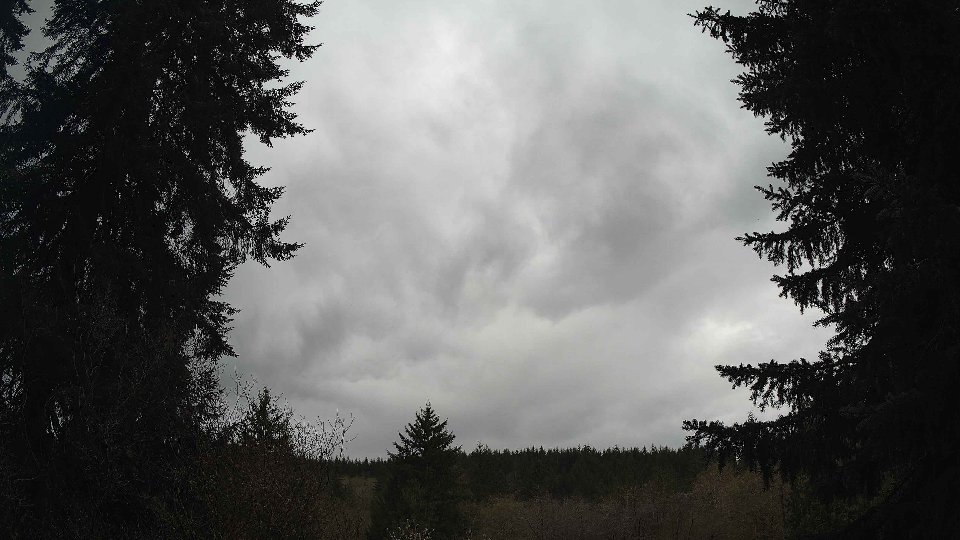
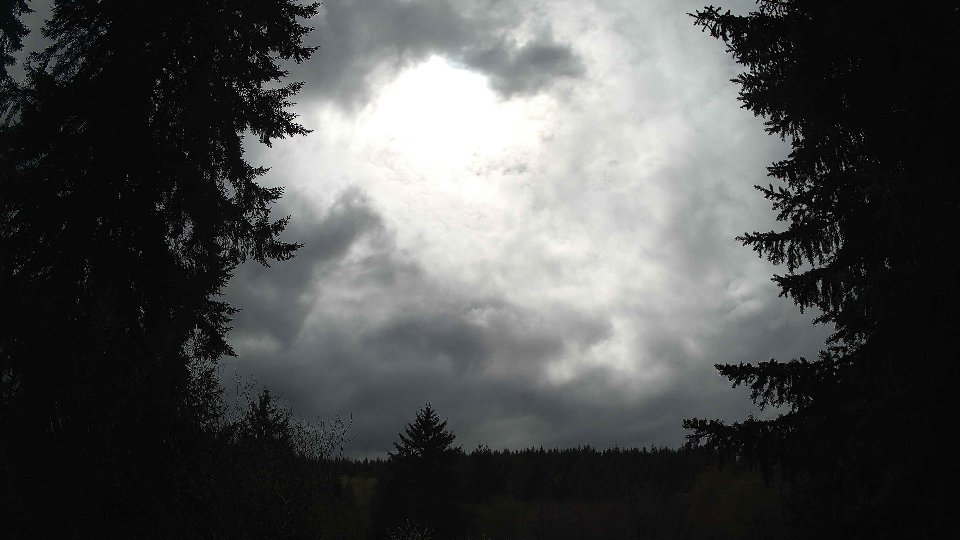
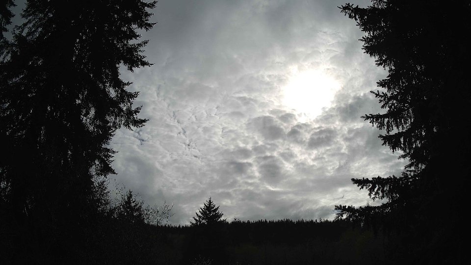
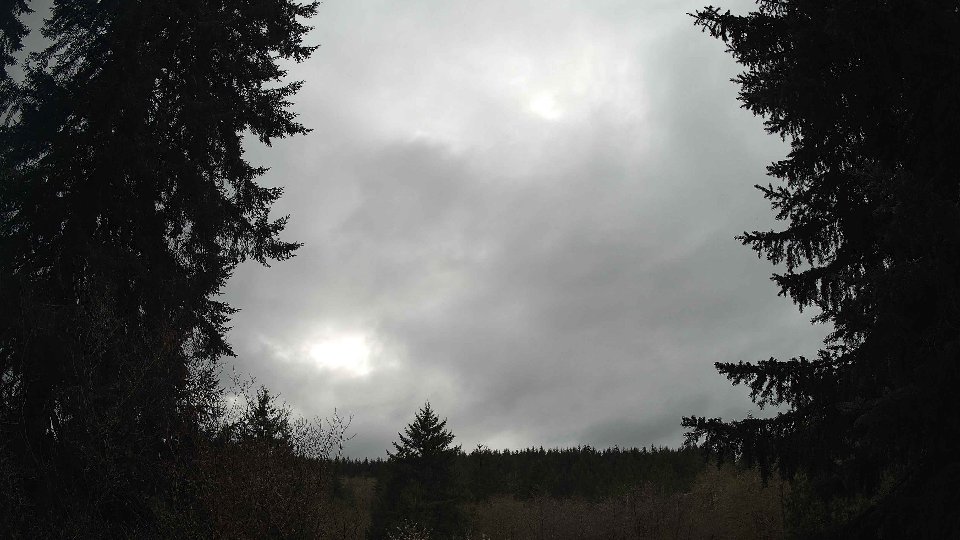
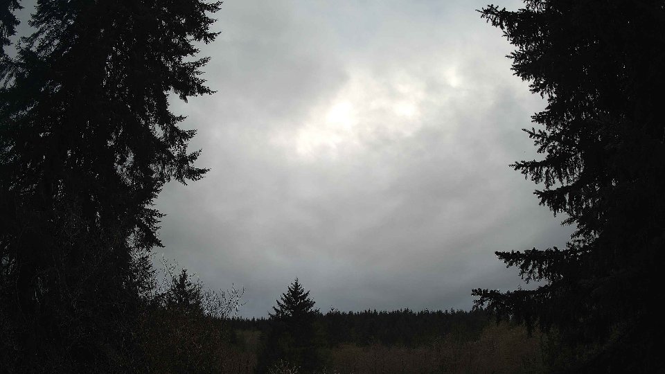
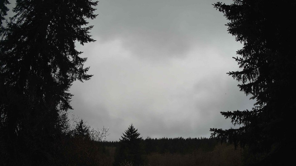
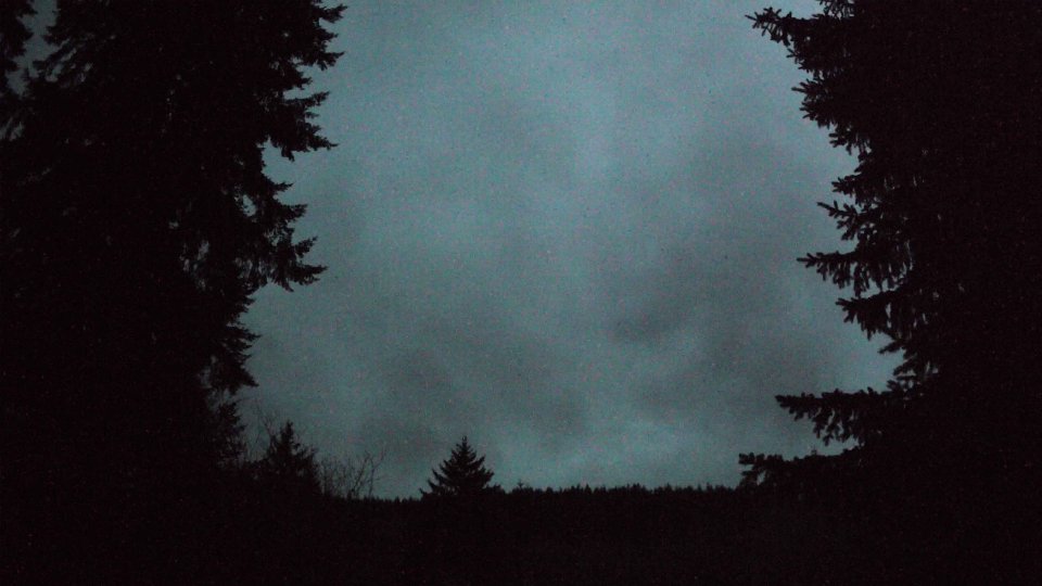
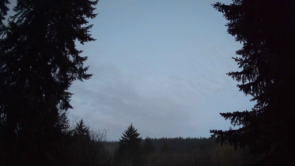
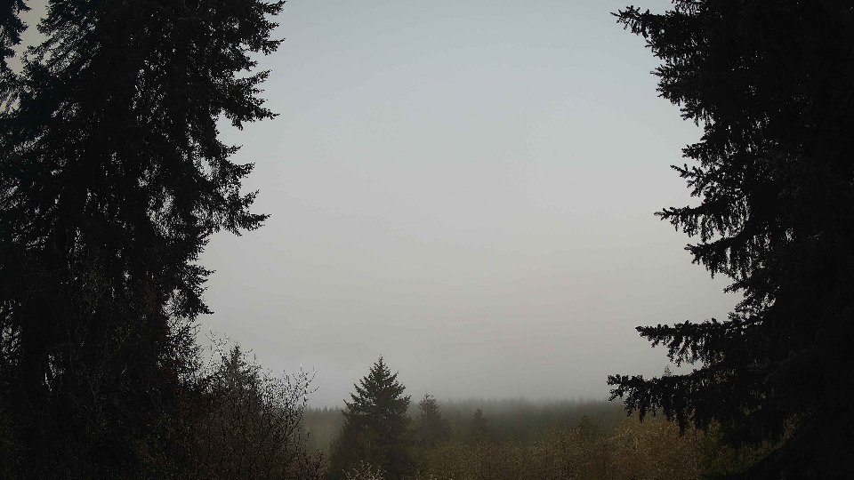
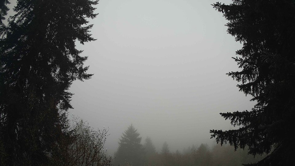
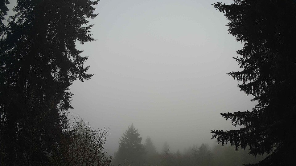
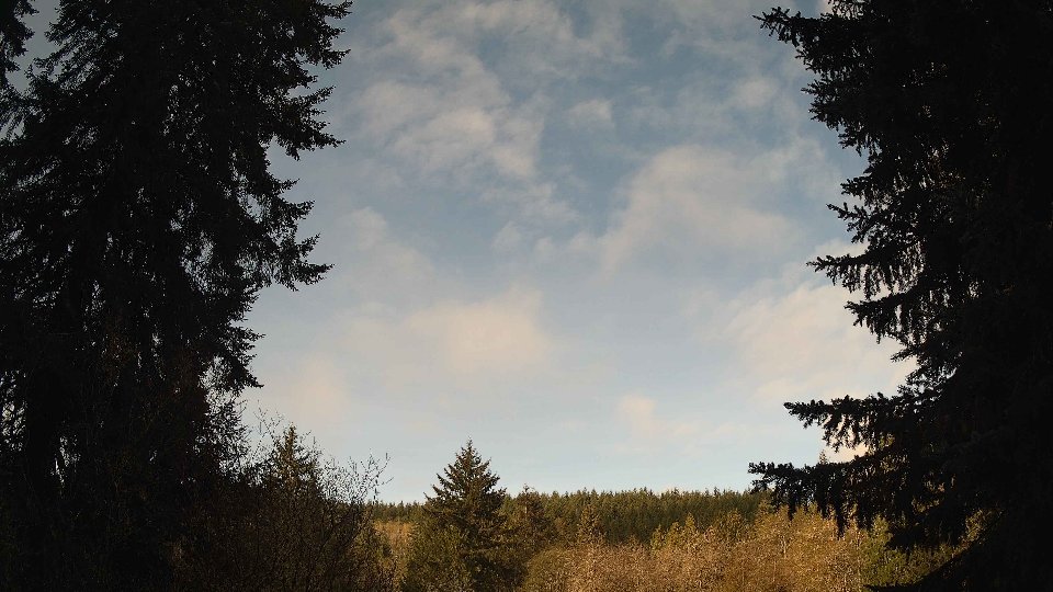
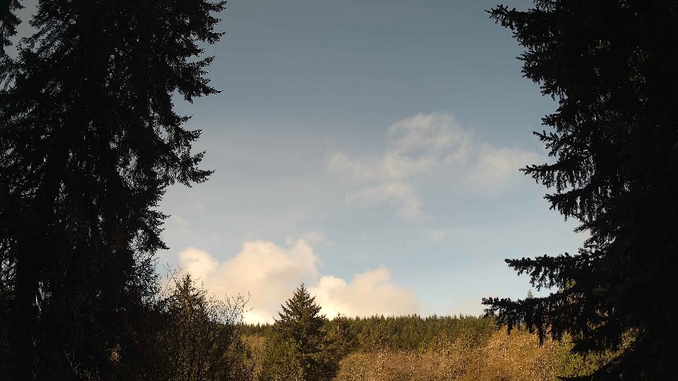
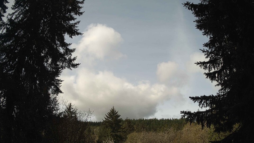
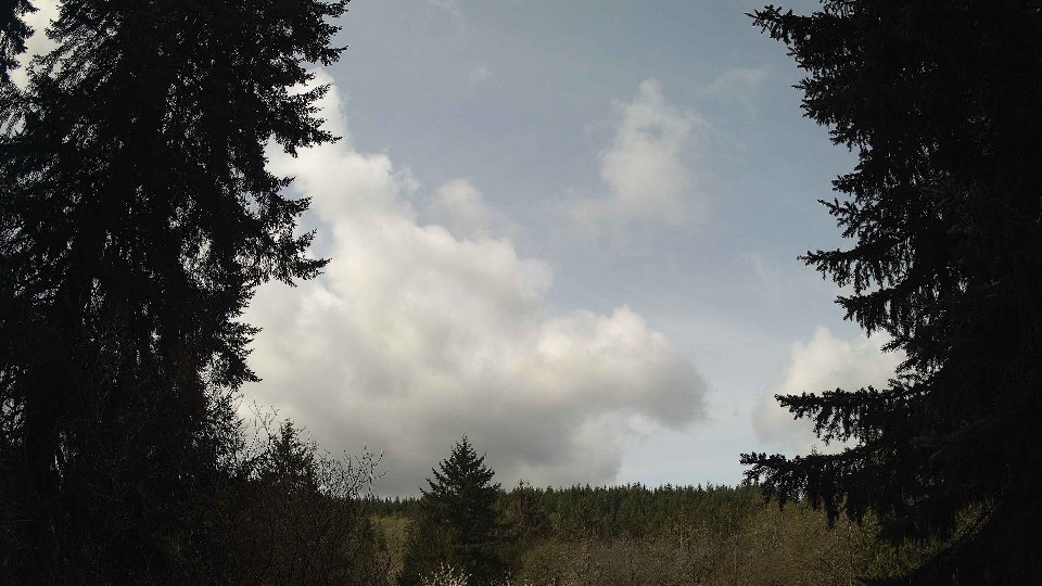
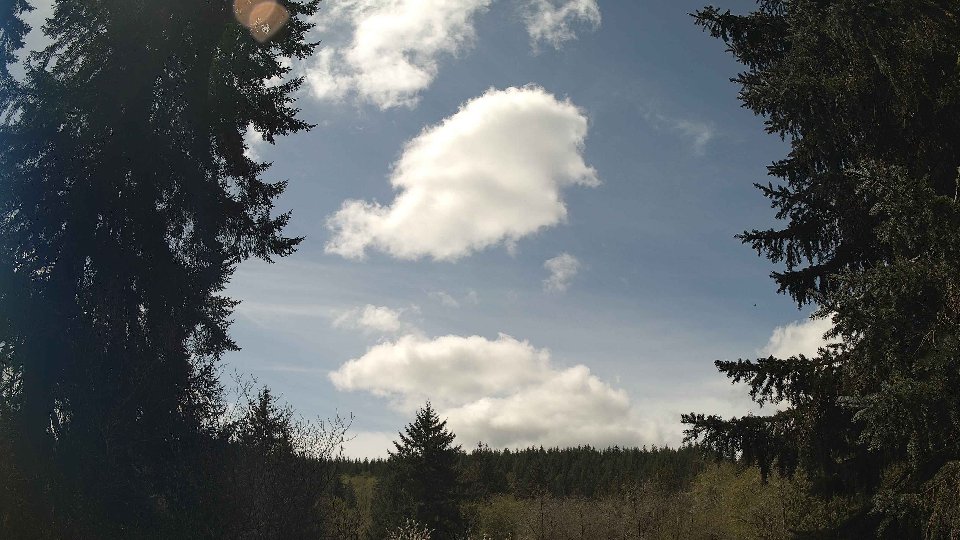
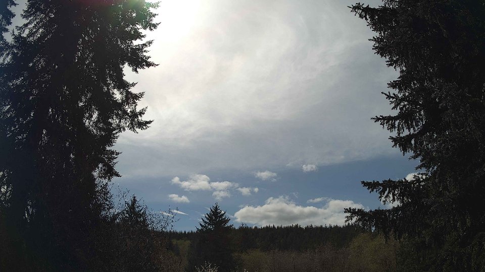
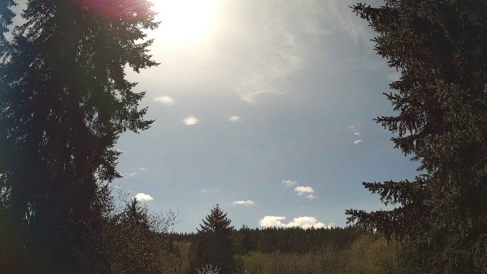
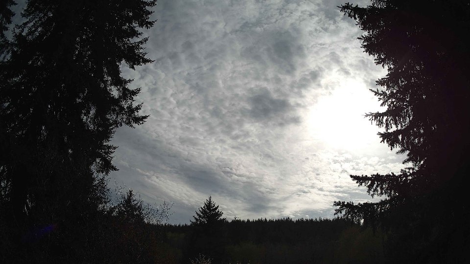
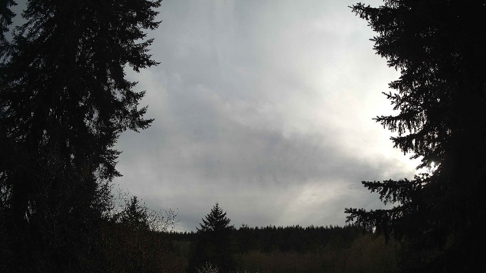
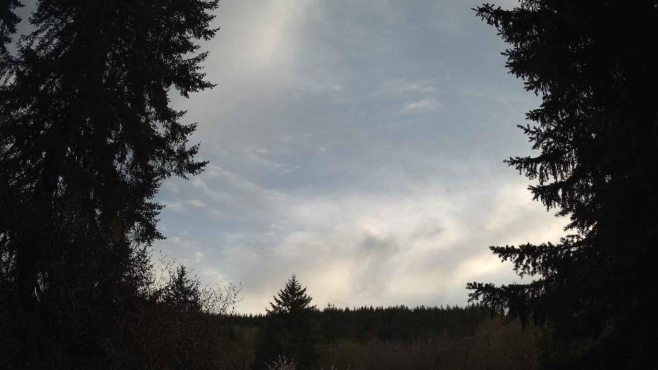
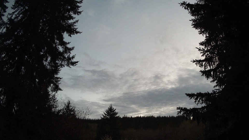
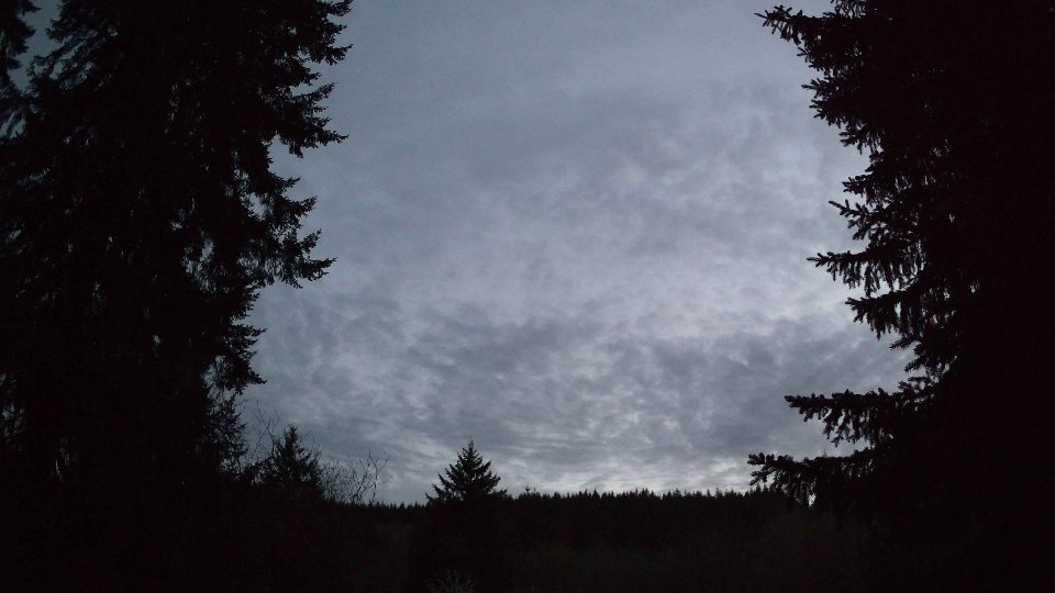
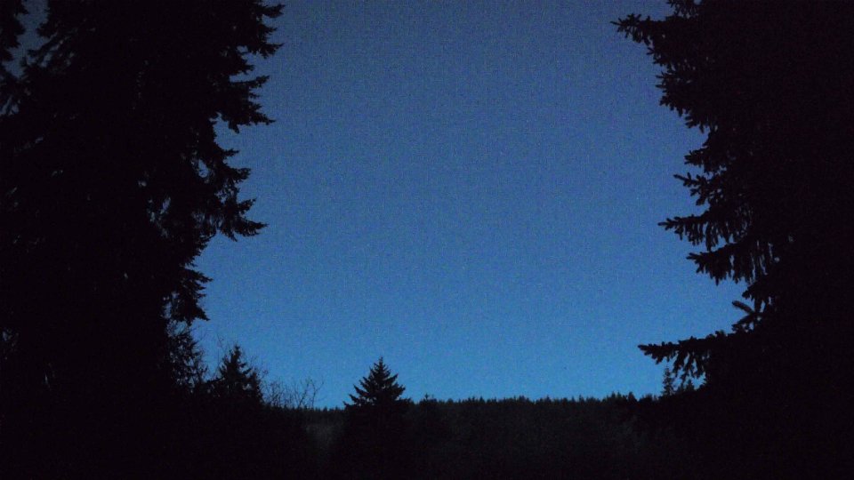
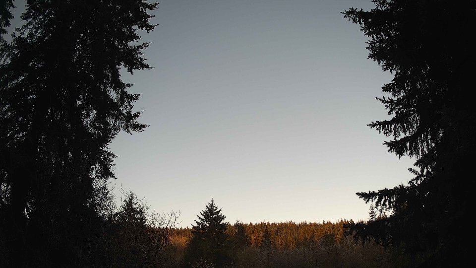
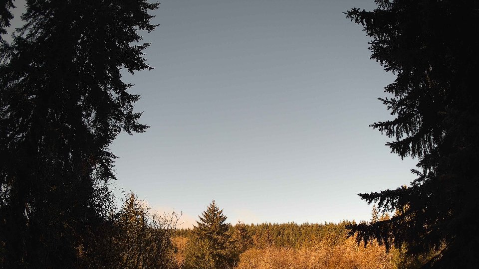
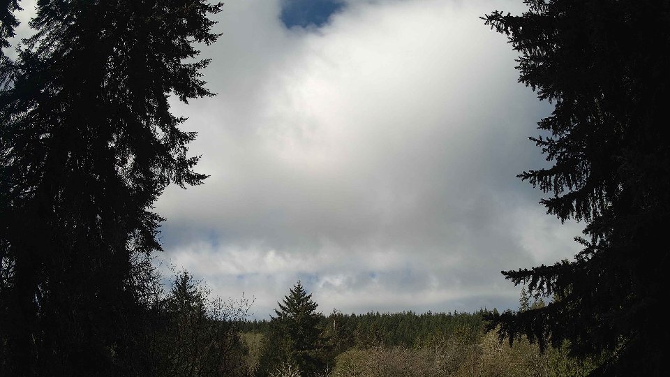
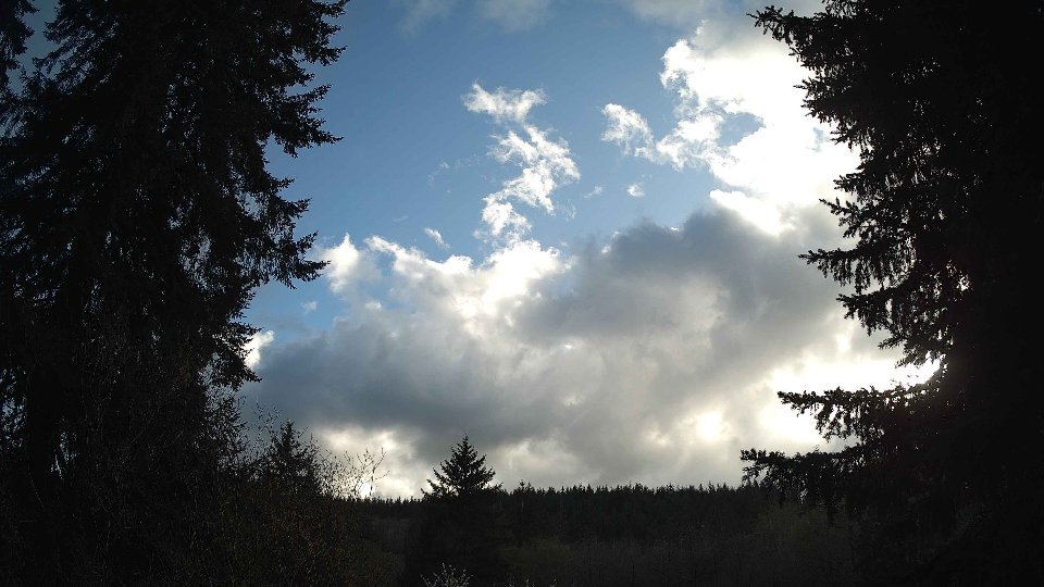
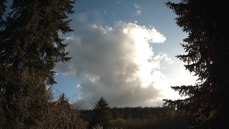
By evening, the winds continued to exhibit a stable pattern with surface speeds averaging 10.1 mph and winds aloft reaching 18.3 mph. The cloud cover persisted at a dense 100%, encompassing low, mid, and high clouds without interval. This final stage of the day saw the moisture condense further, contributing to a total precipitation accumulation of 0.27 inches. The persistence of cloud layers coupled with stable winds aloft created a layered appearance, with the heavier low clouds dominating the landscape. As the evening deepened, the persistent winds and moisture in the atmosphere hinted at a lingering unsettled feel to the weather, while the sky remained a solid canvas of gray, illustrating the day’s dramatic cloud dynamics and the ongoing interaction between wind layers.
April 14th, 2026 Timeline
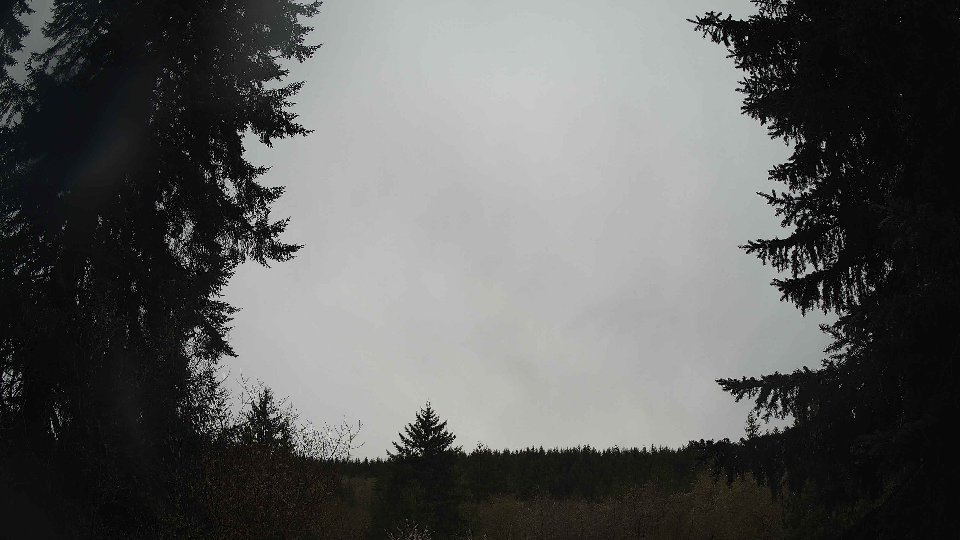
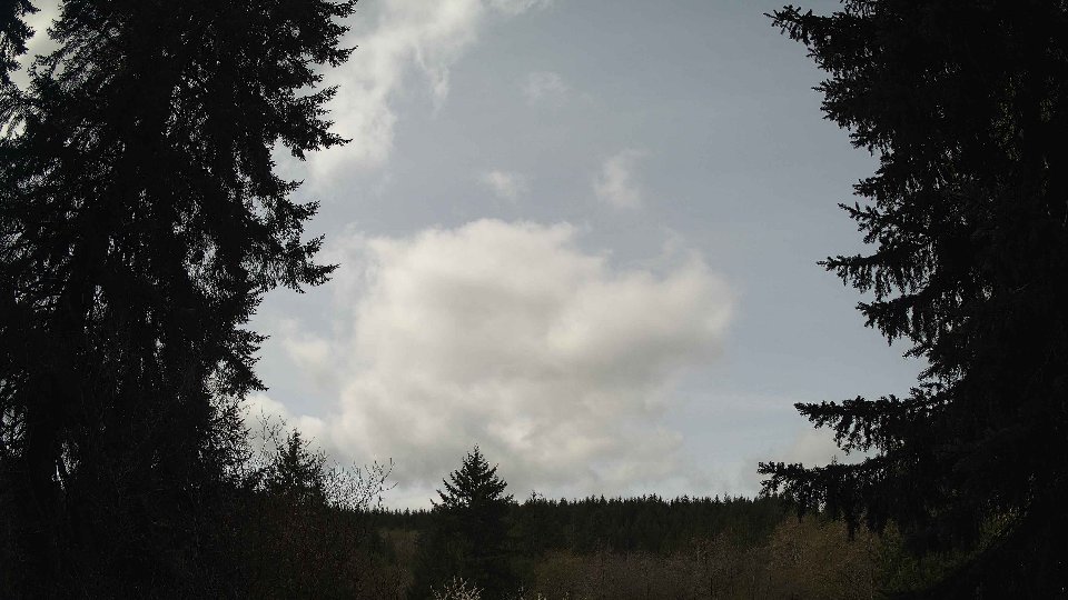
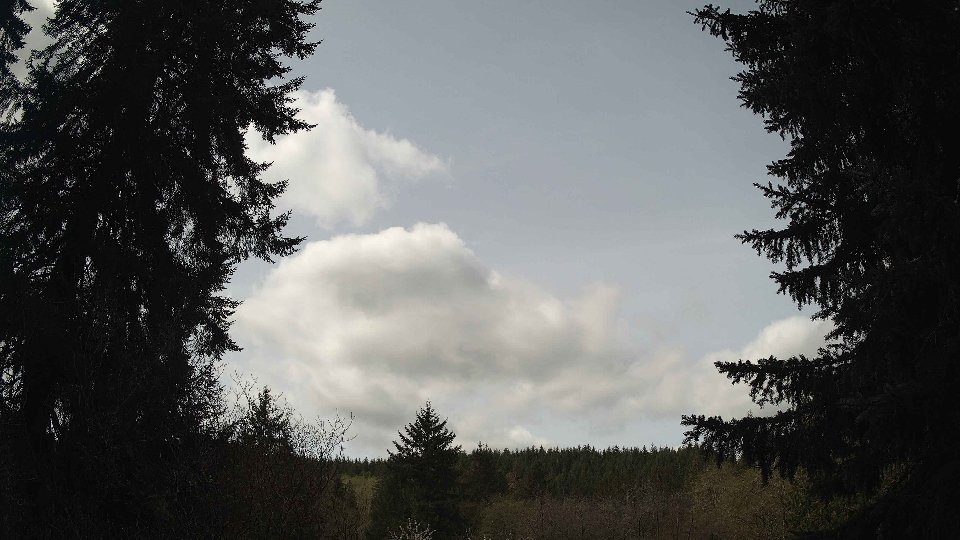
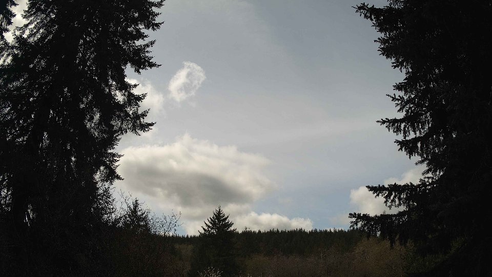
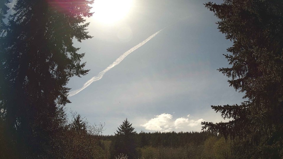
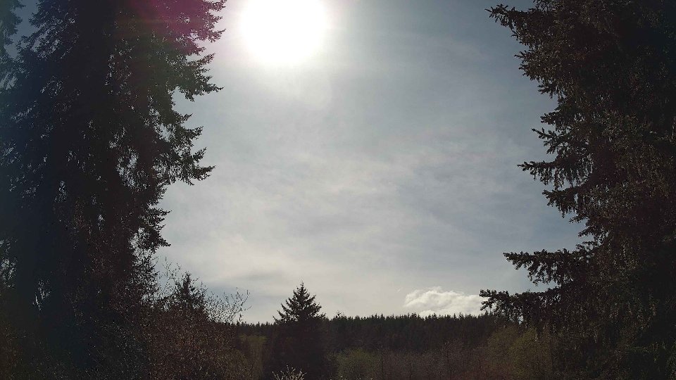
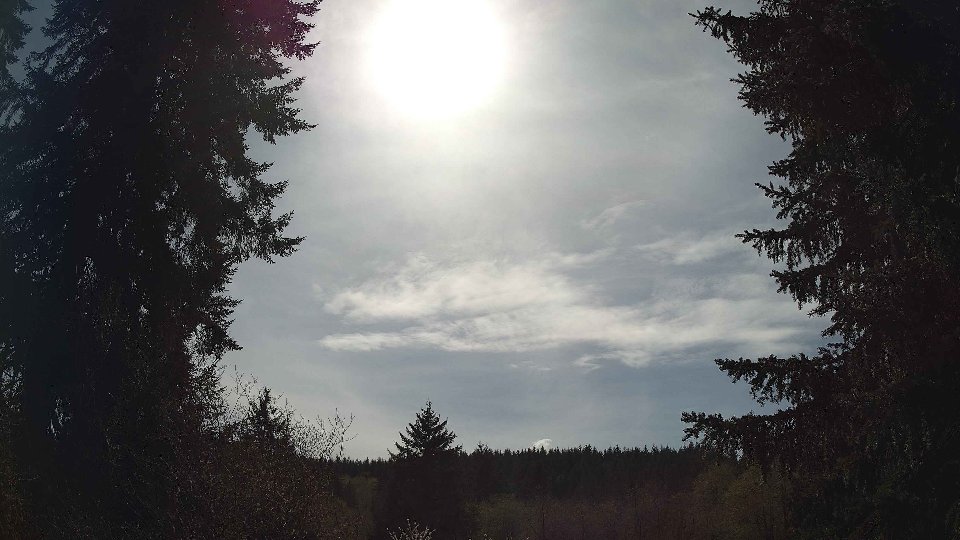
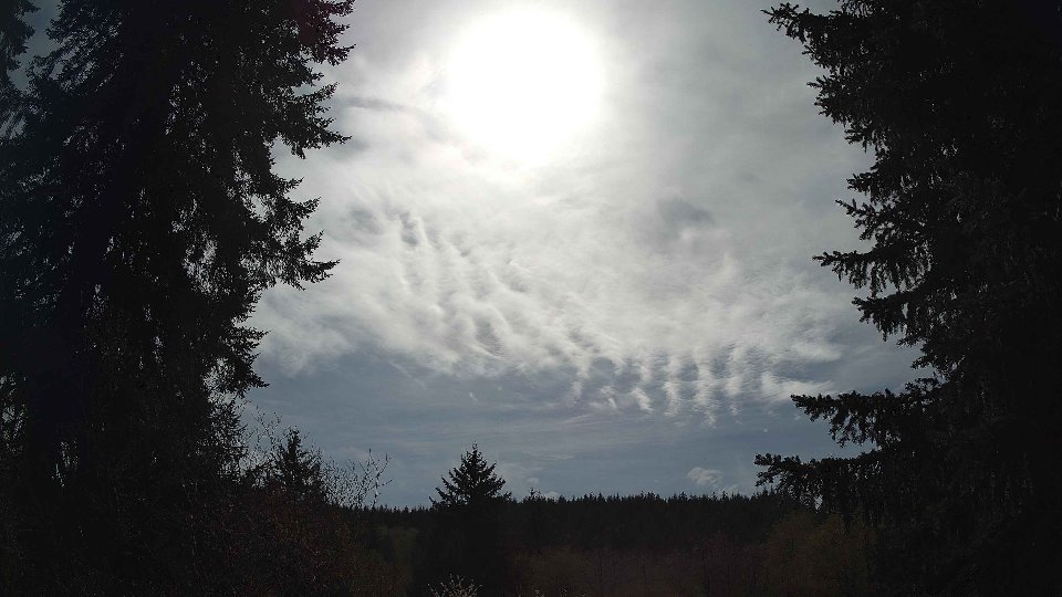
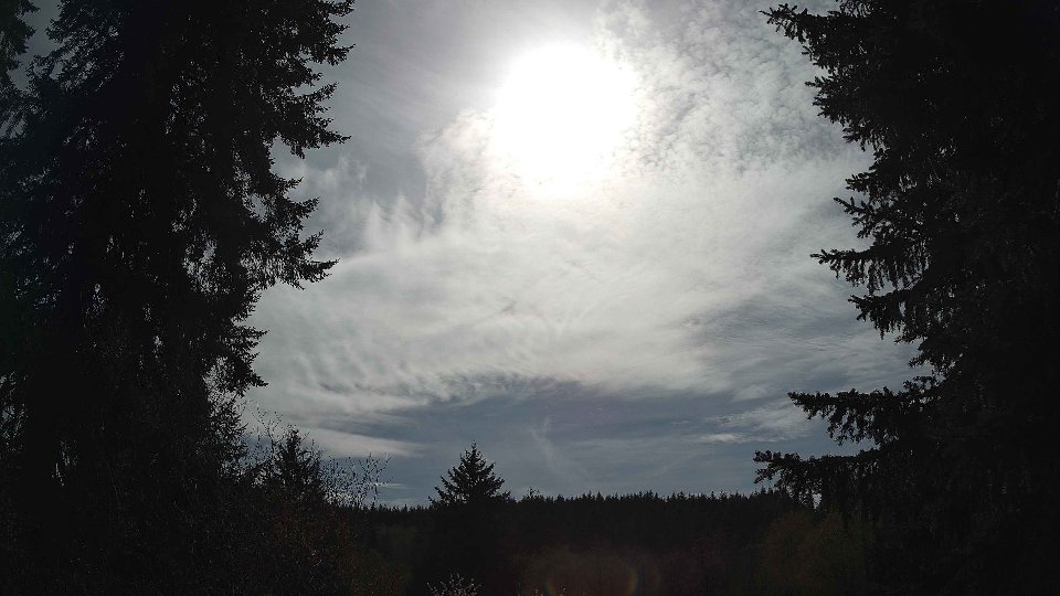
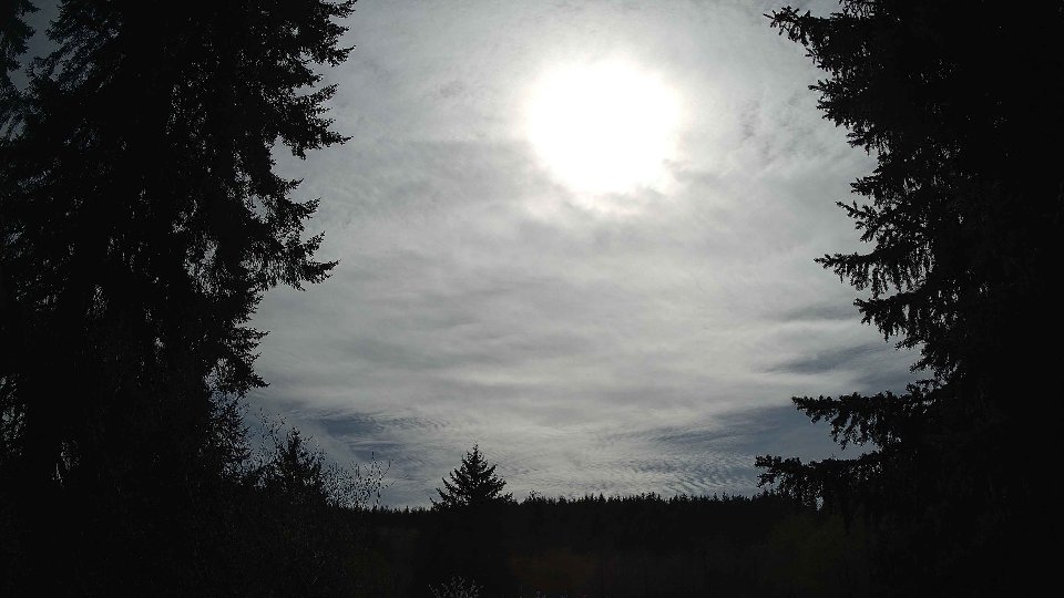
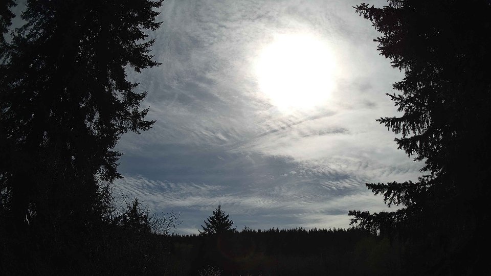
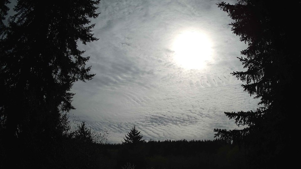
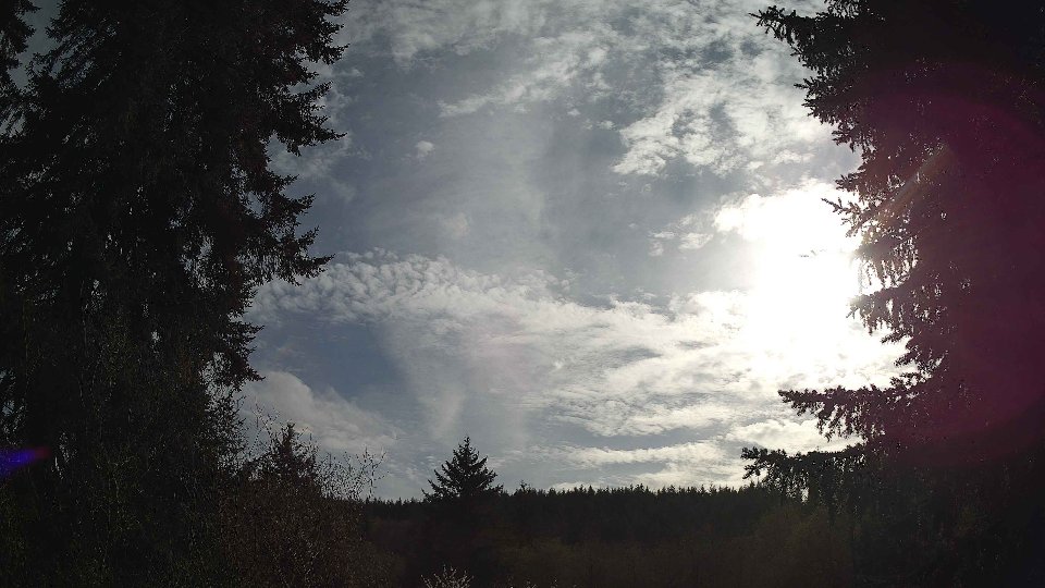
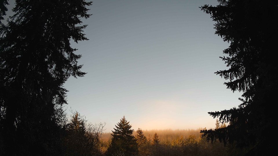
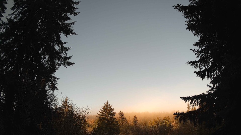
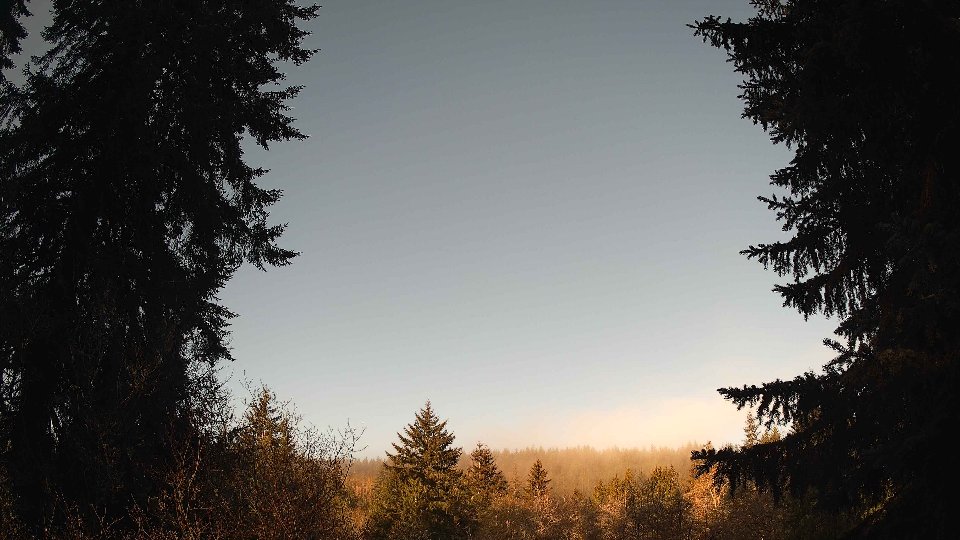
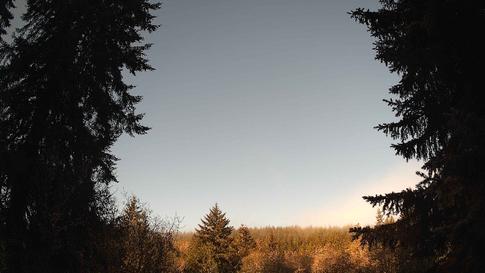
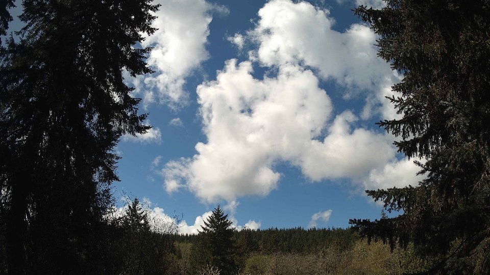
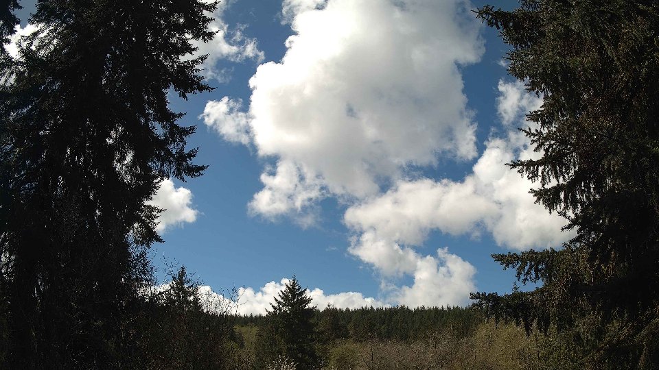
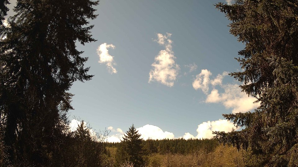
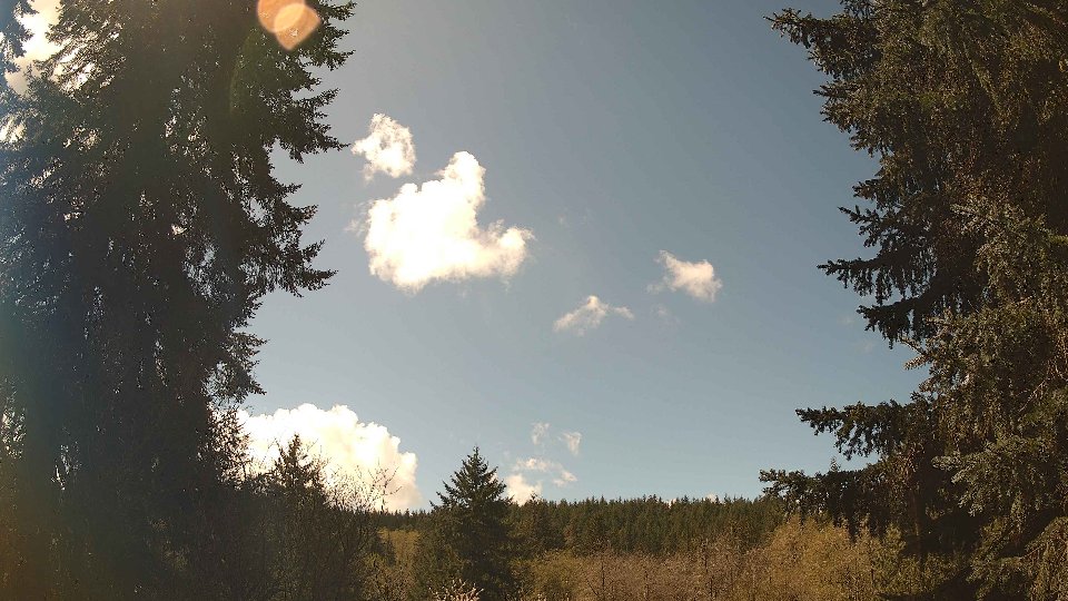
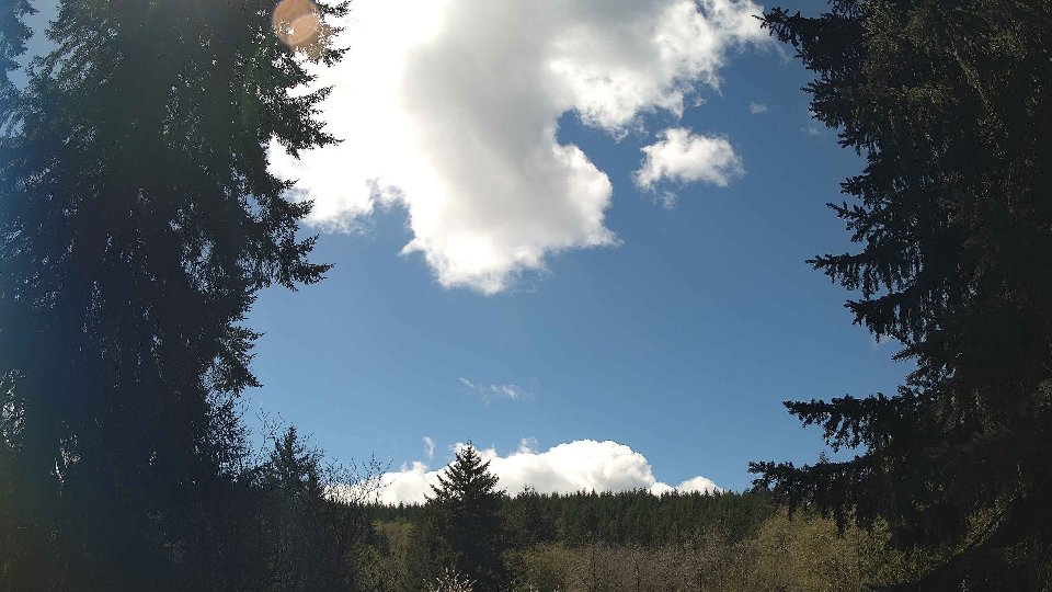
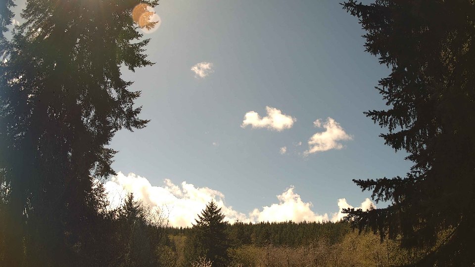
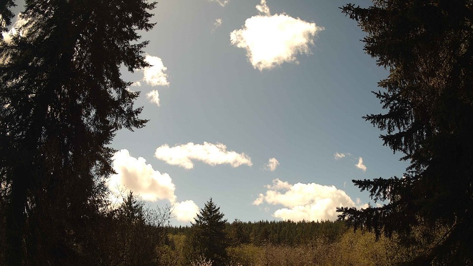
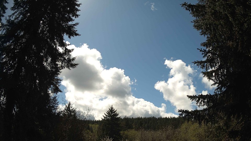
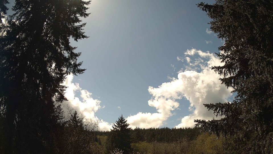
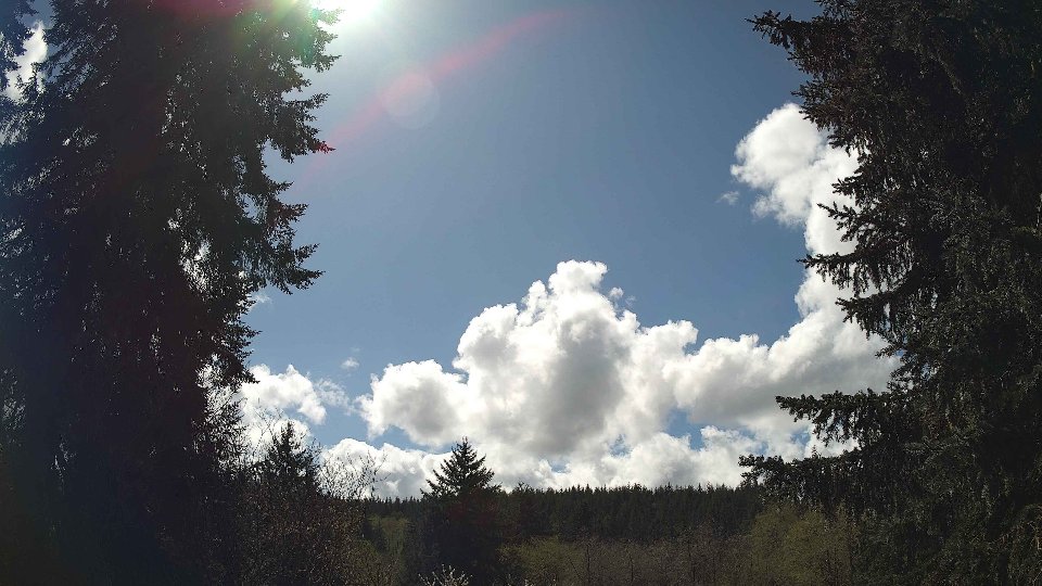
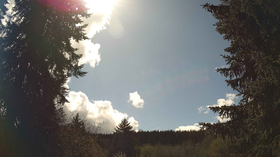
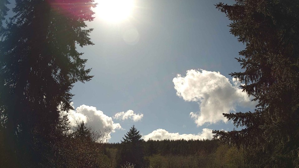
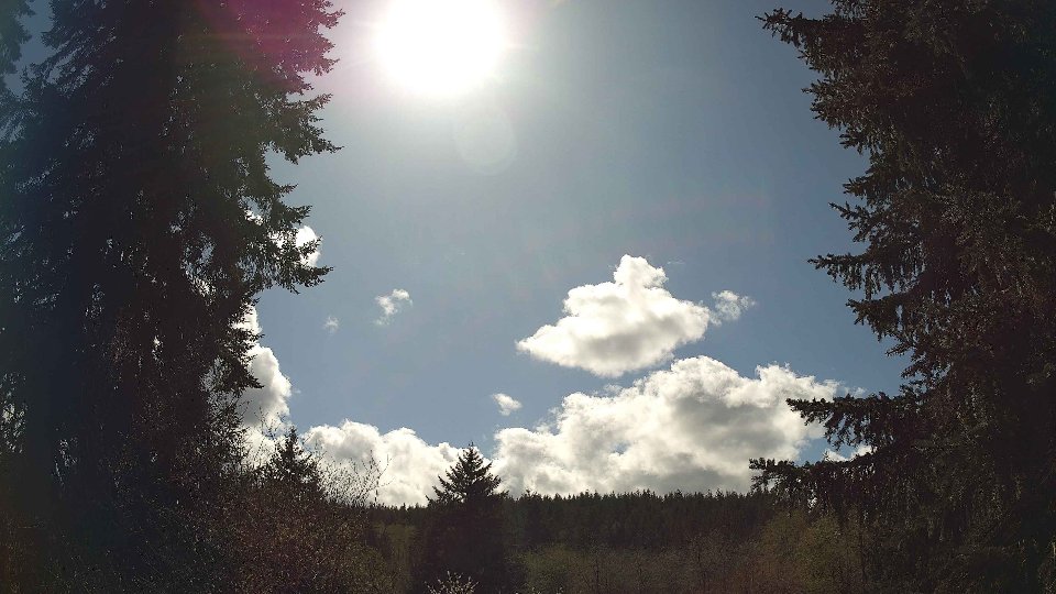
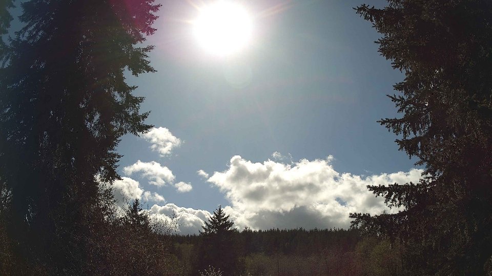
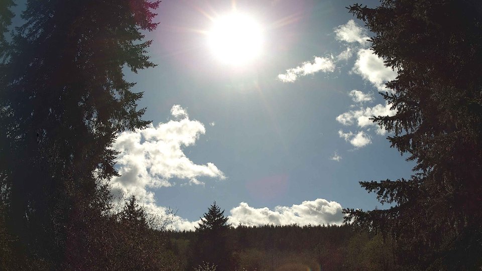
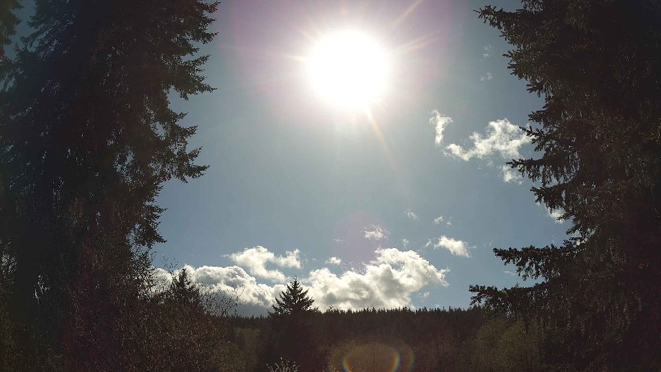
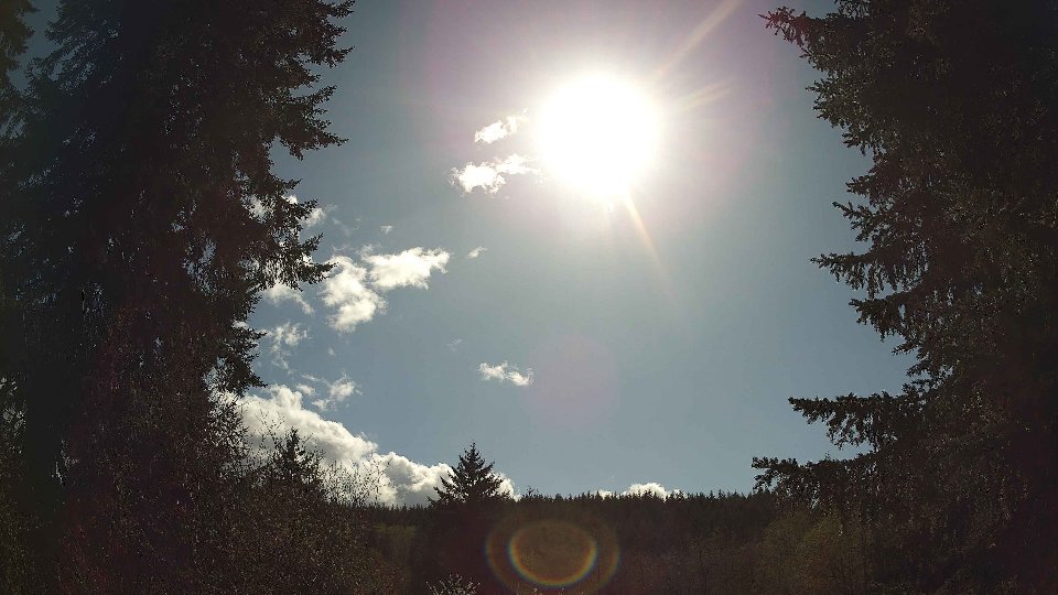
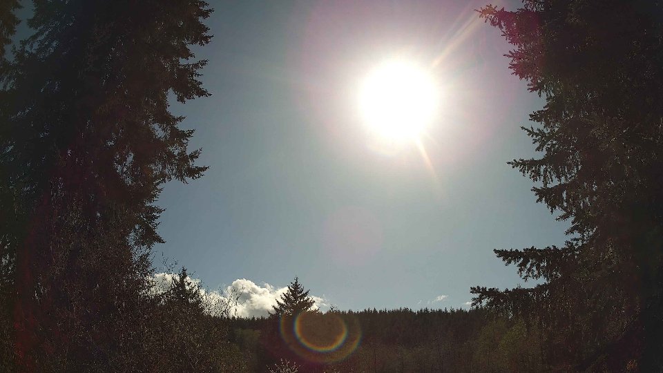
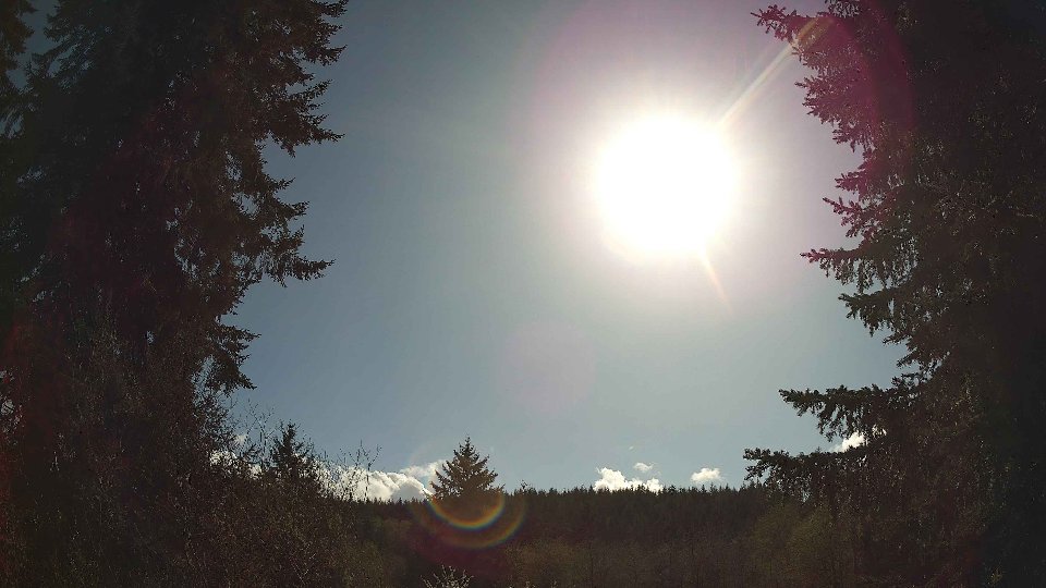
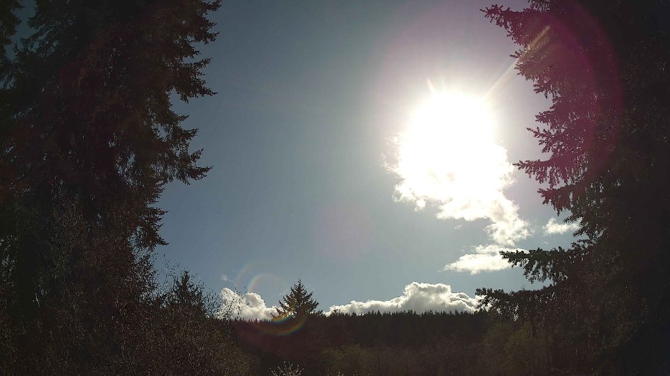
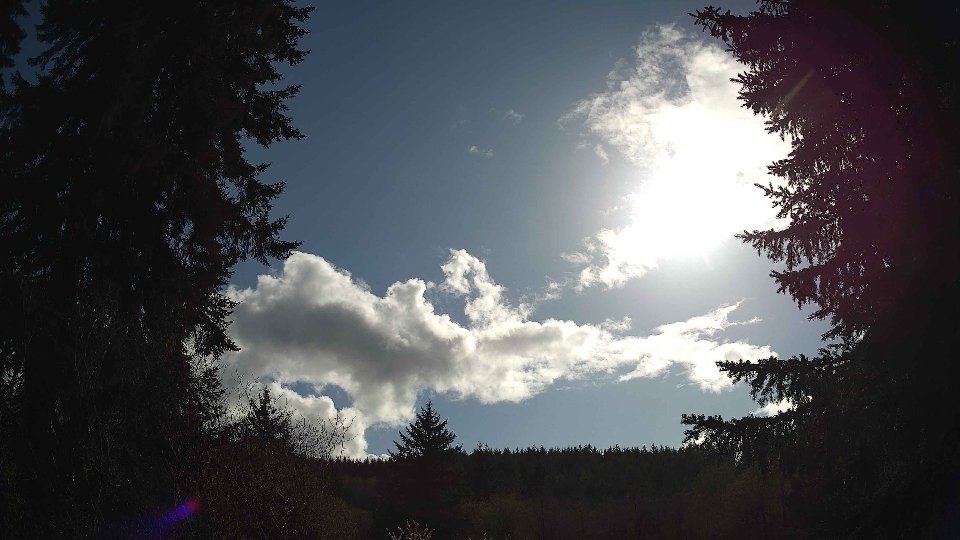
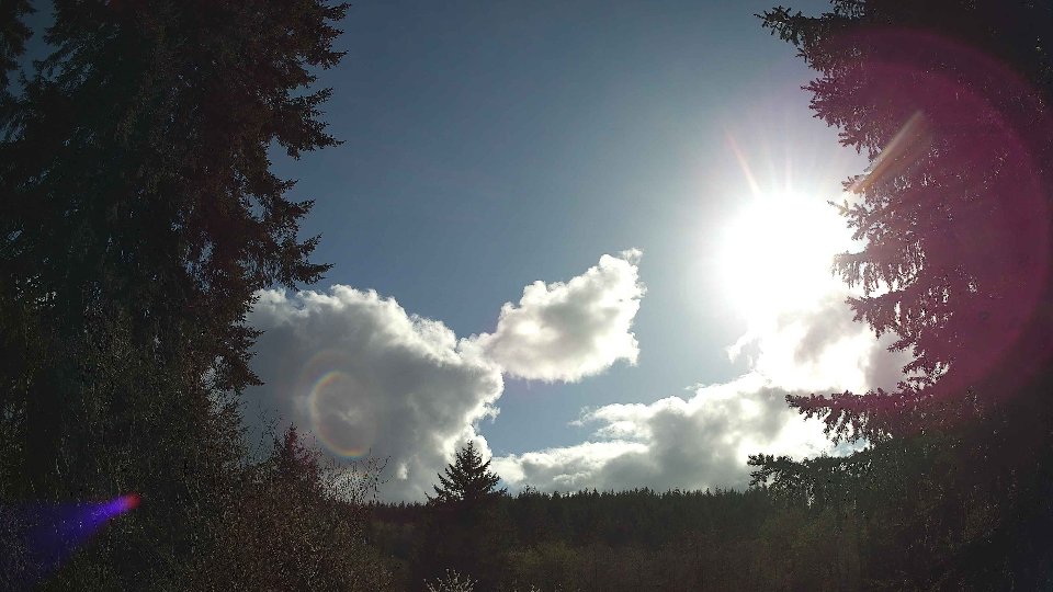
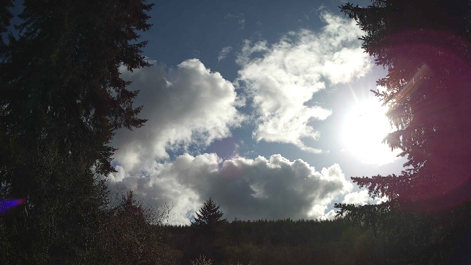
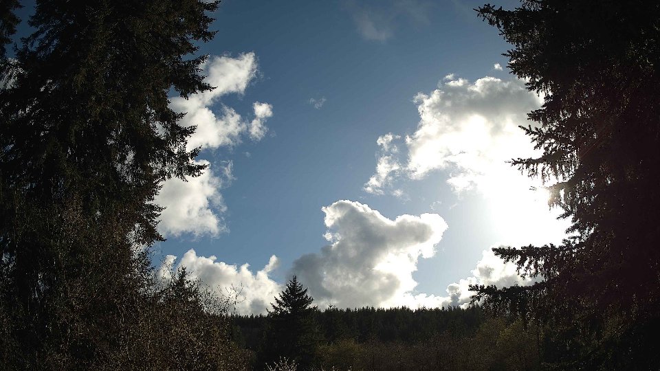
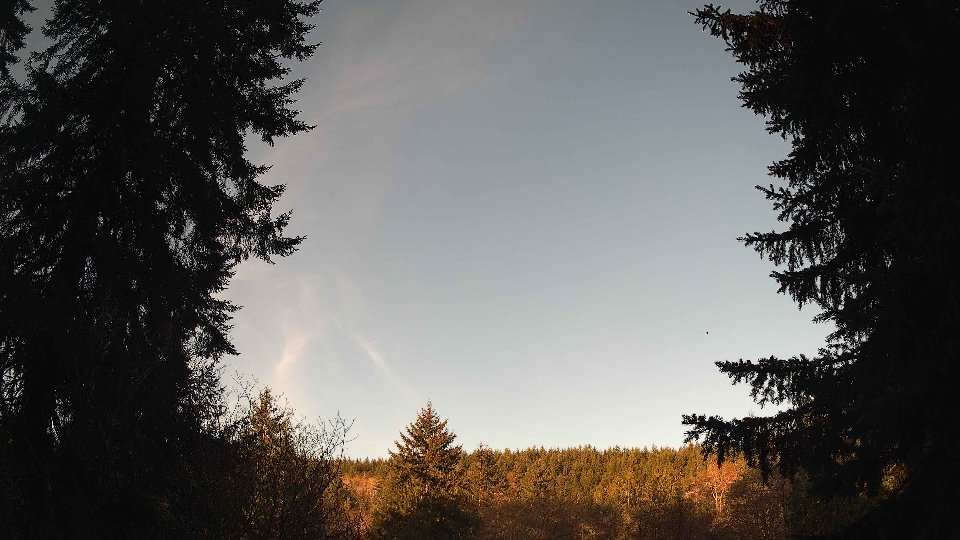
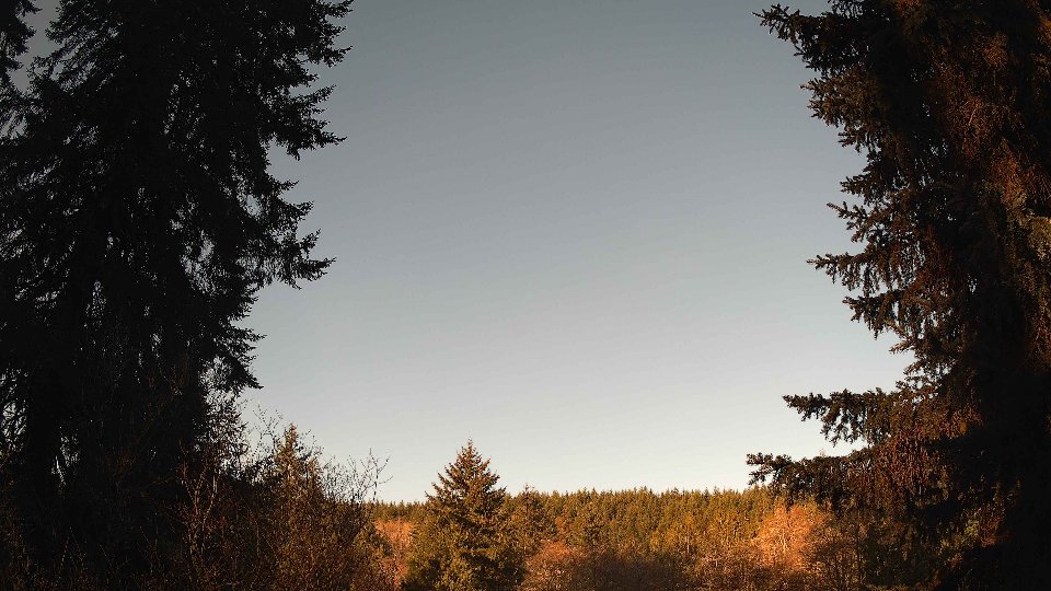
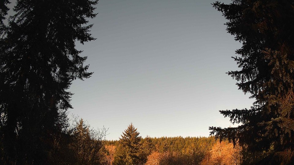
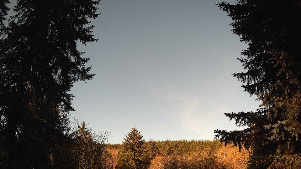
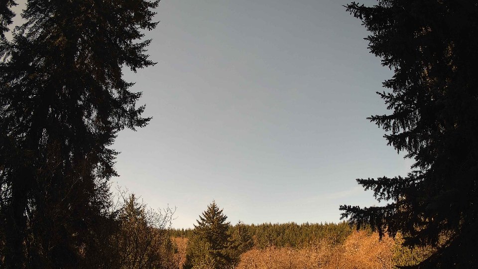
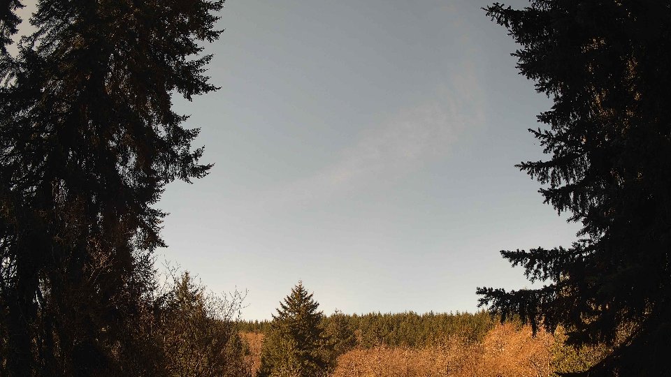
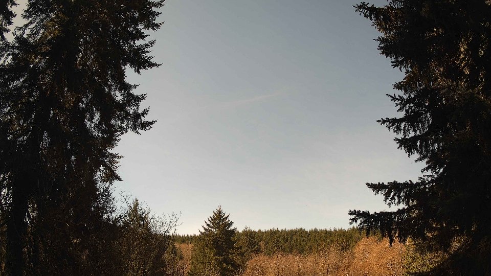
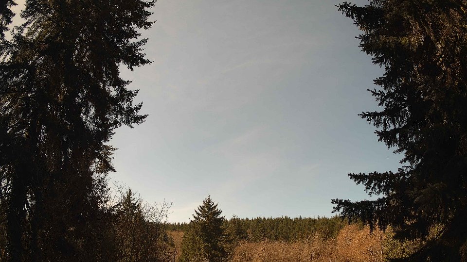
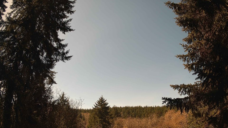
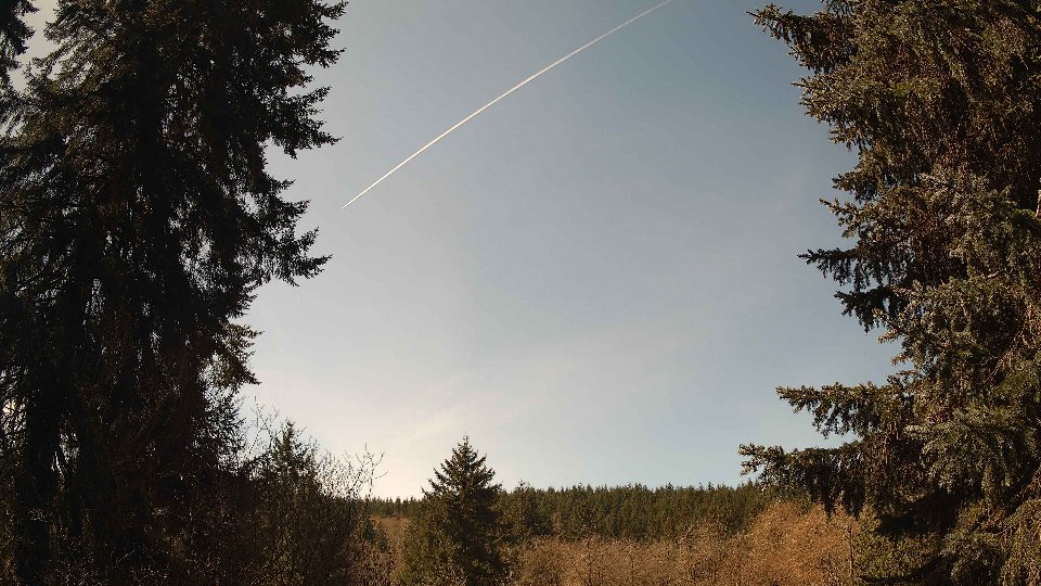
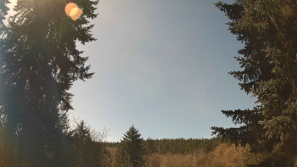
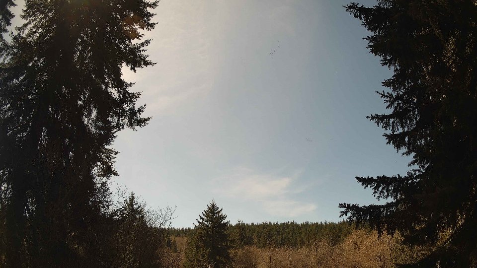
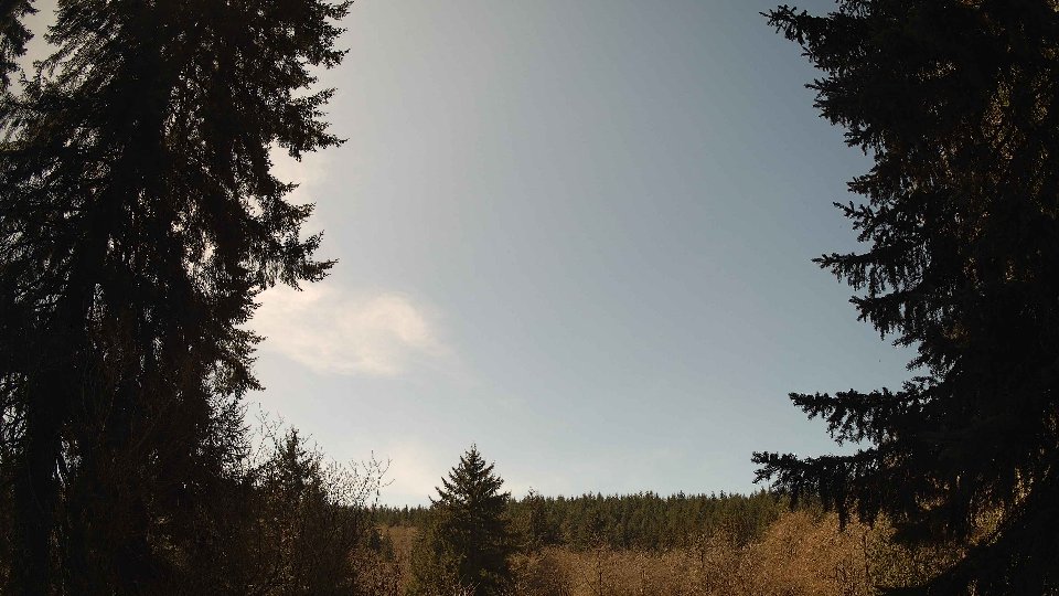
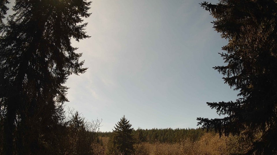
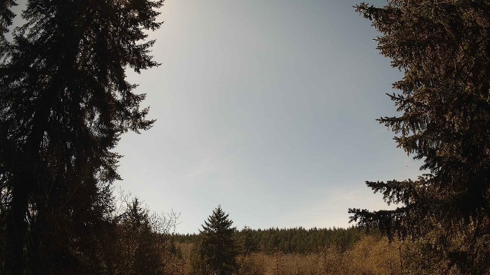
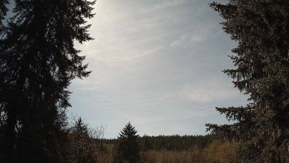
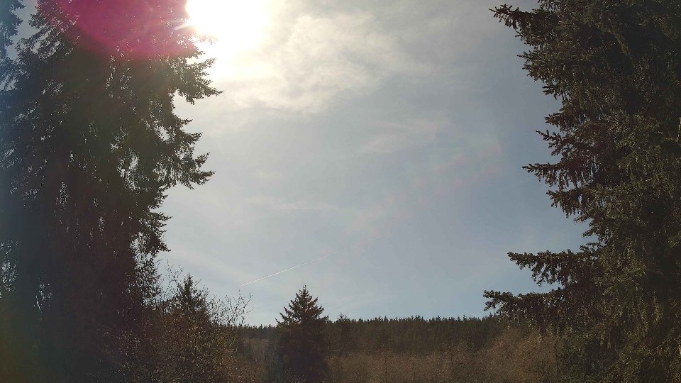
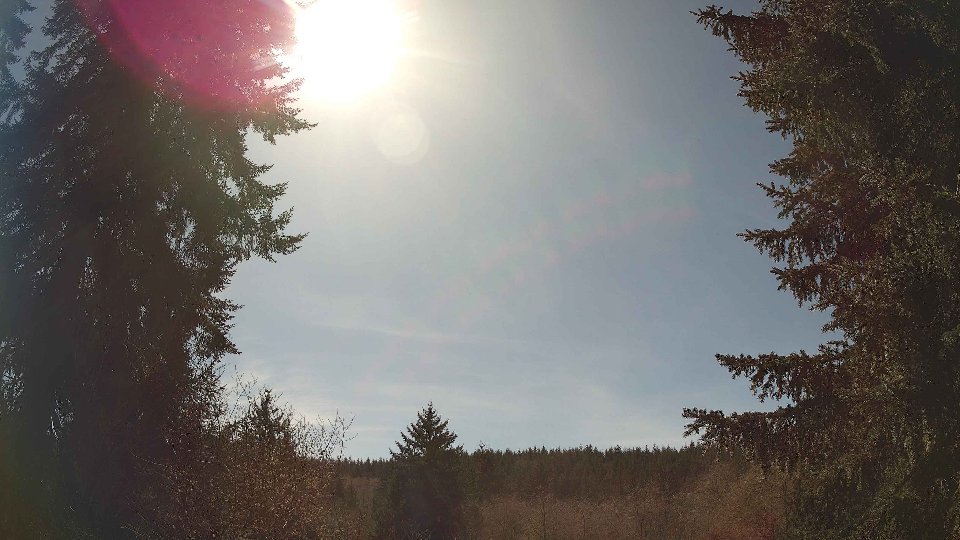
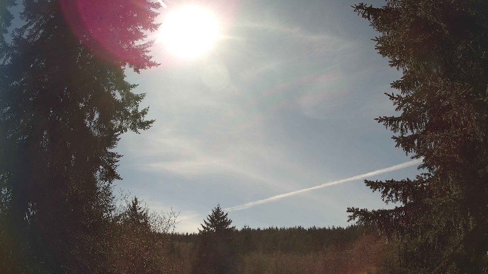
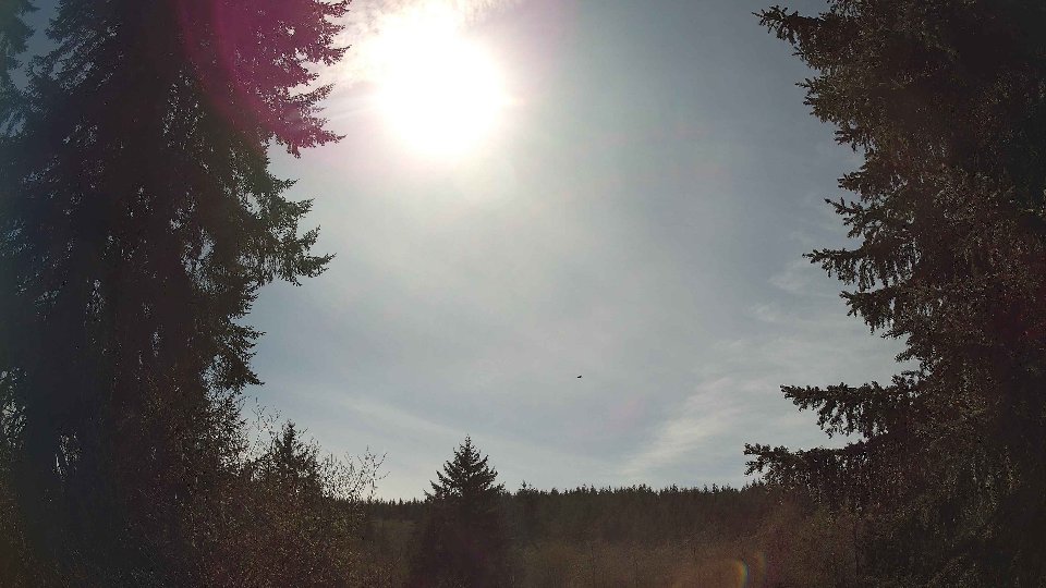
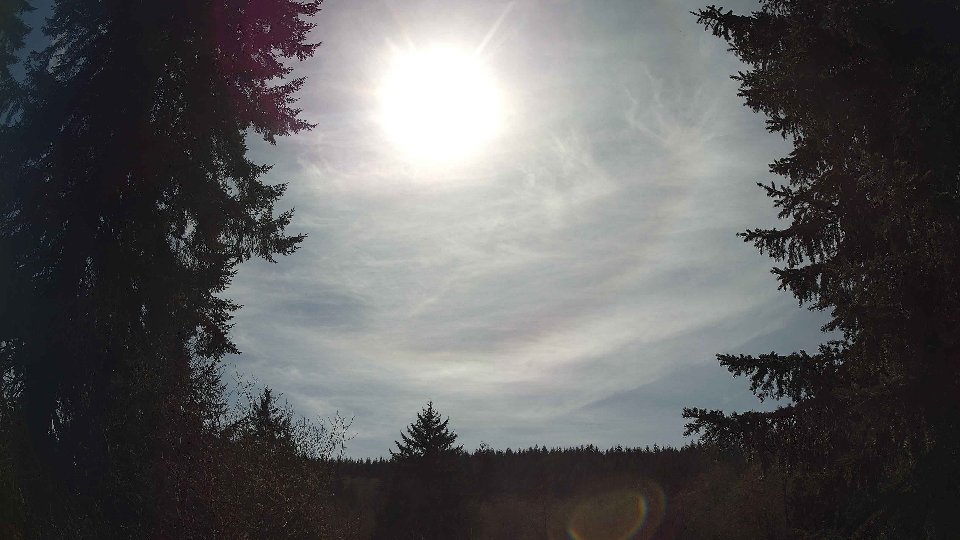
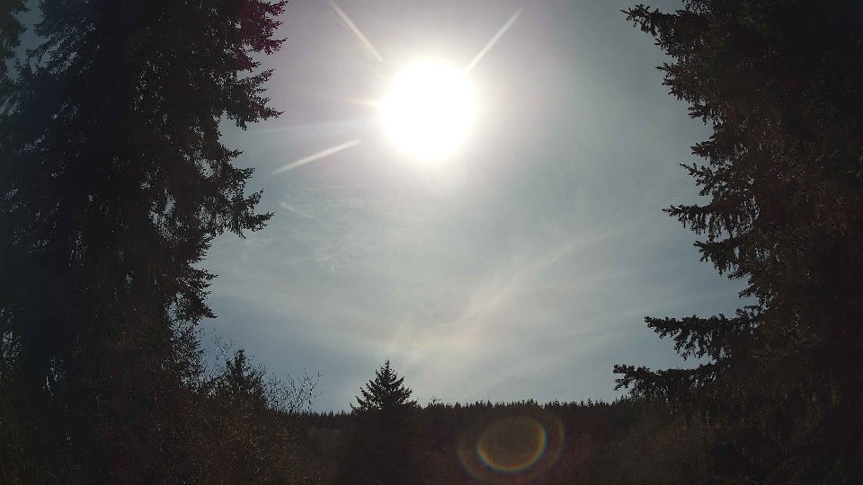
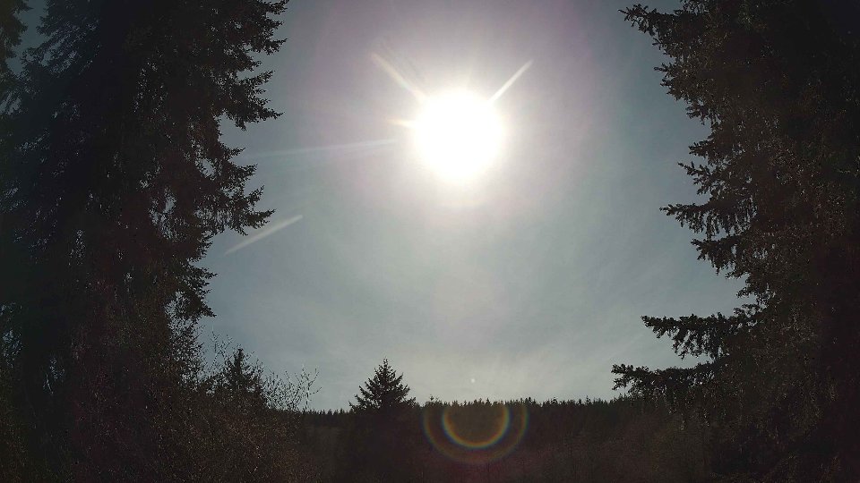
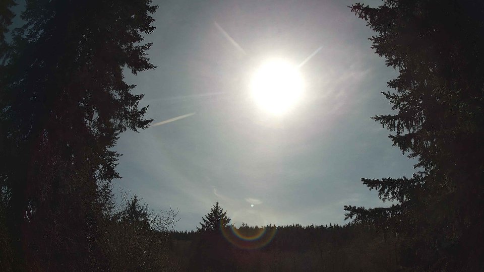
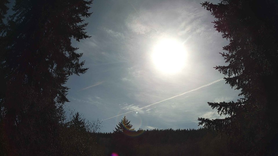
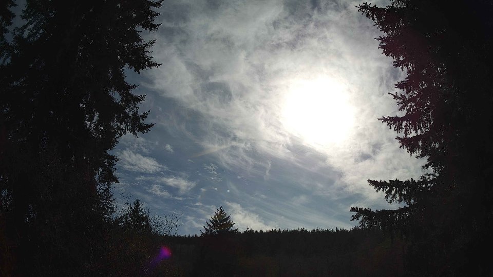
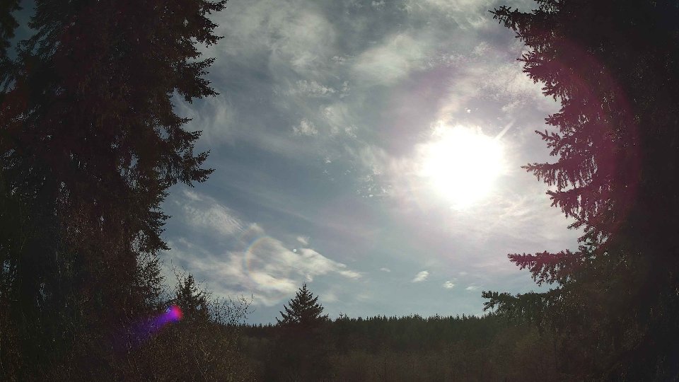
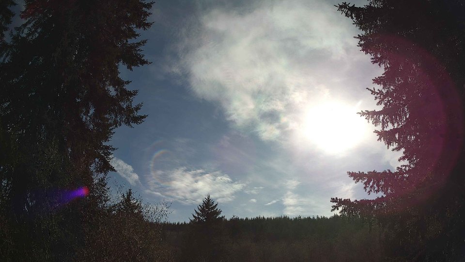
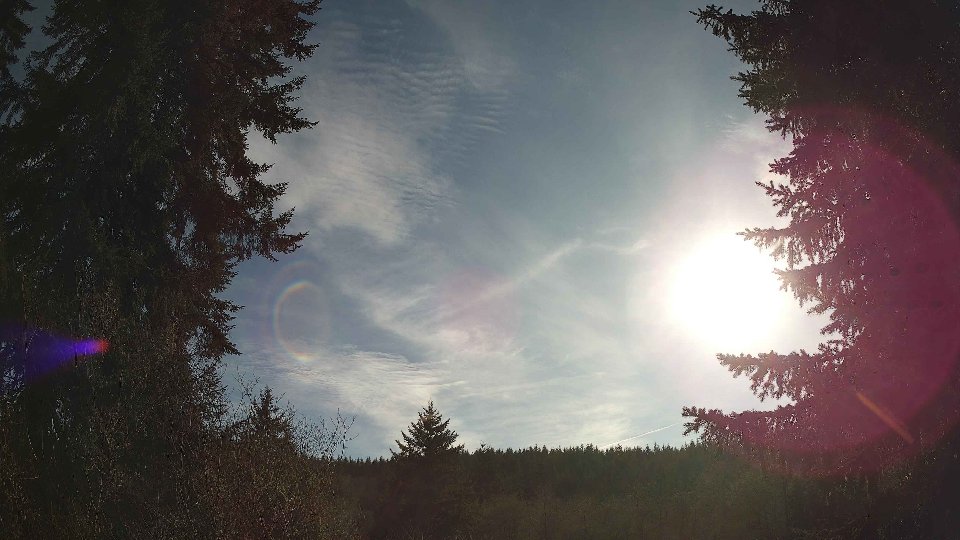
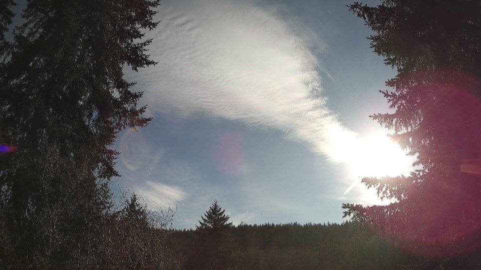
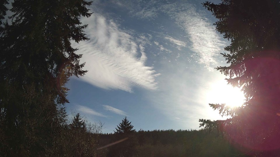
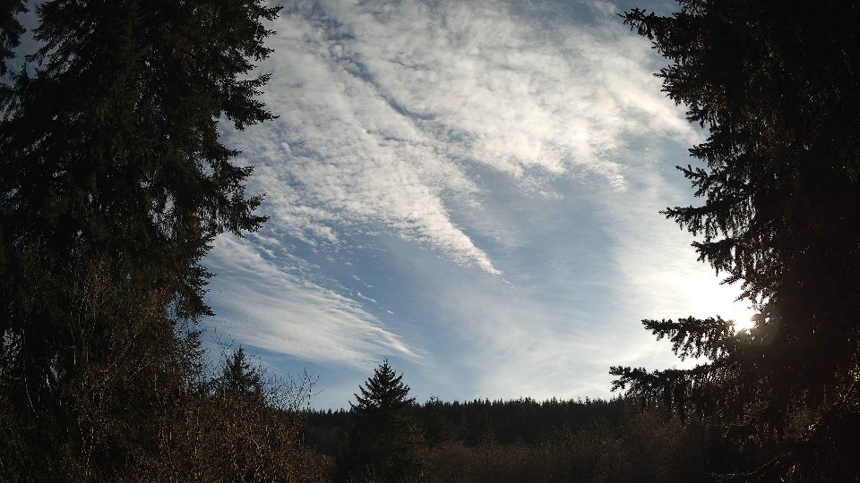
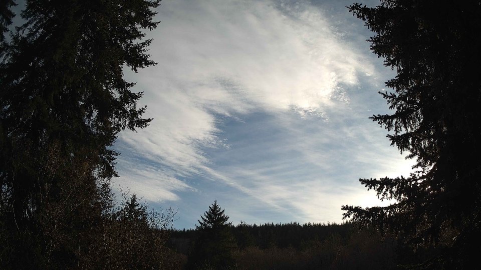
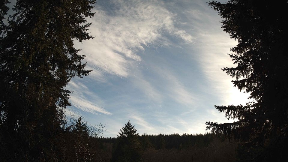
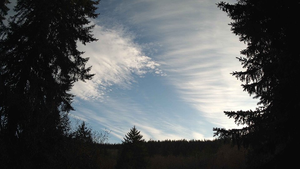
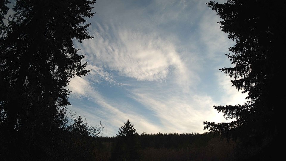
Screenshots with weather data (wind layers, clouds, precipitation)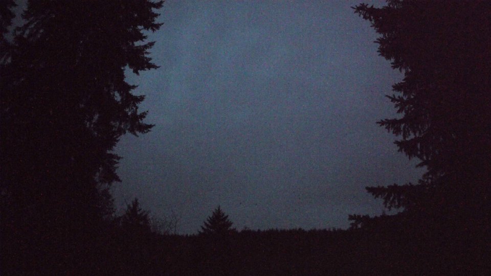


Weather Info for April 14th, 2026
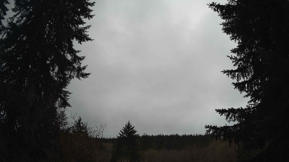
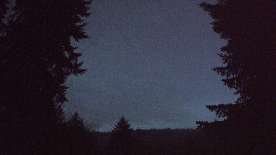
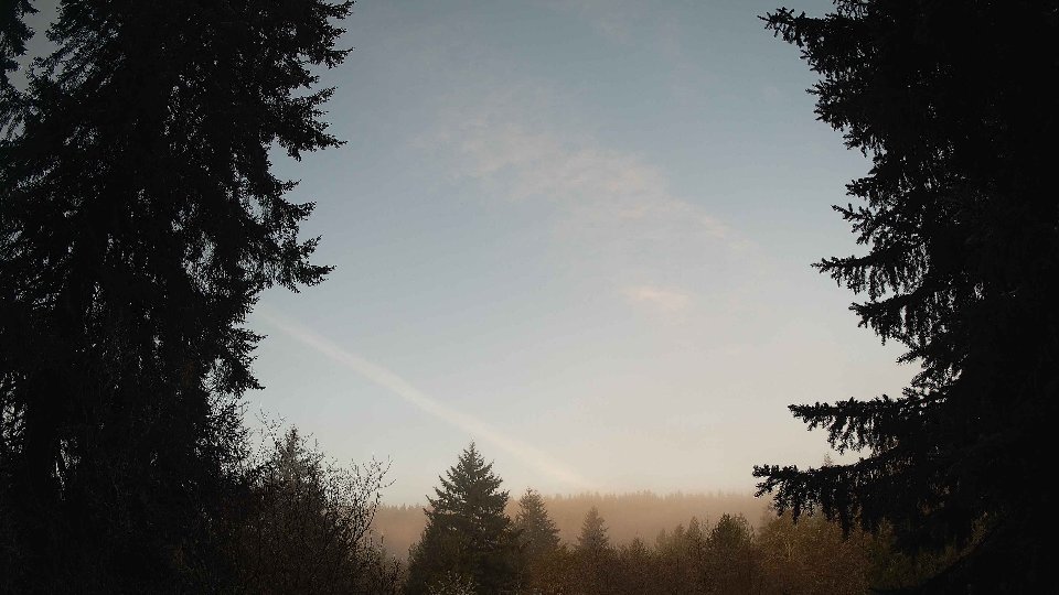
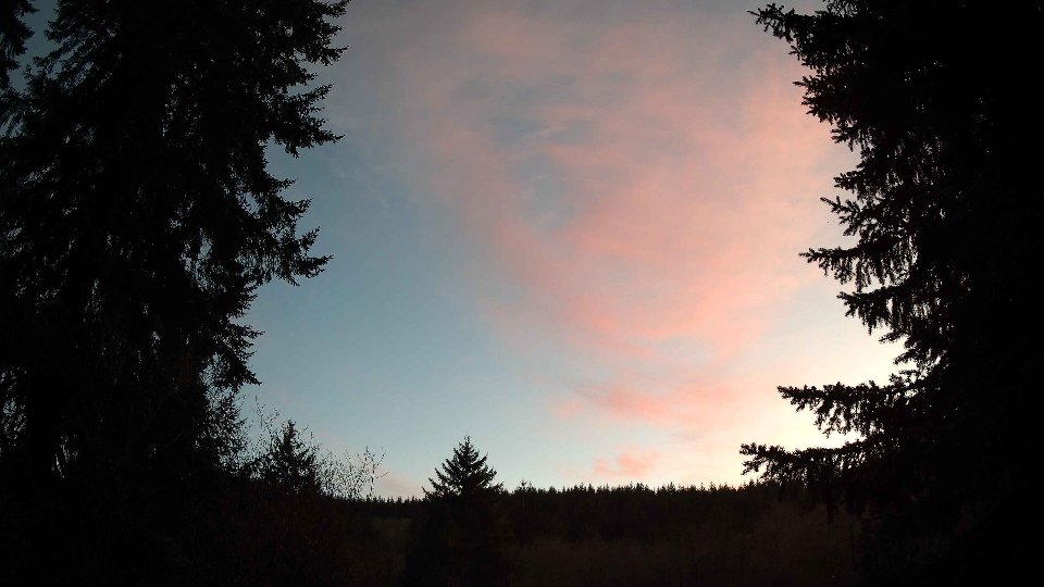
Sunset: 7:57 PM