May 13th, 2026 Timelapse
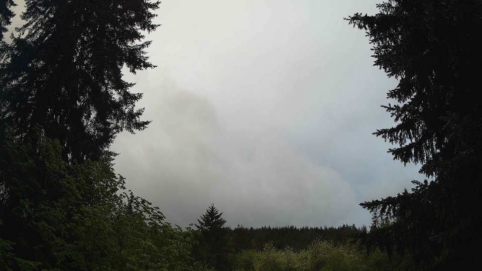
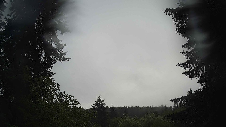
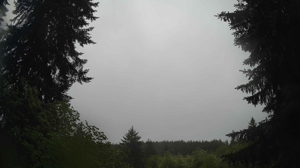
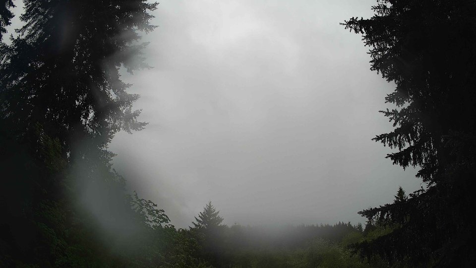
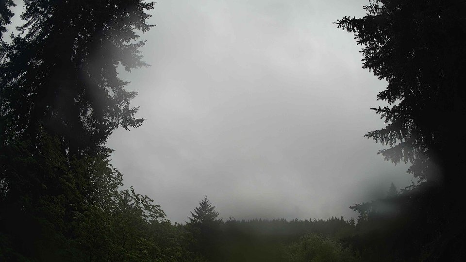
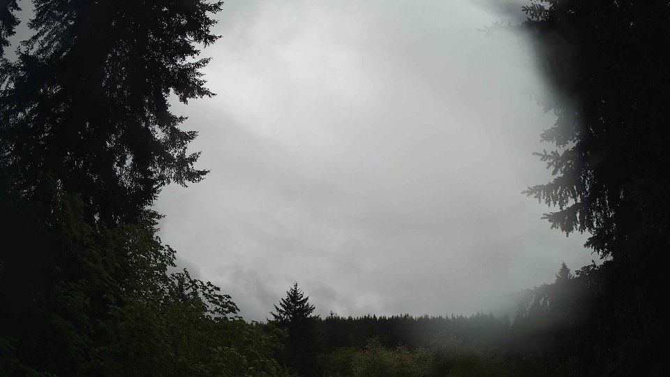
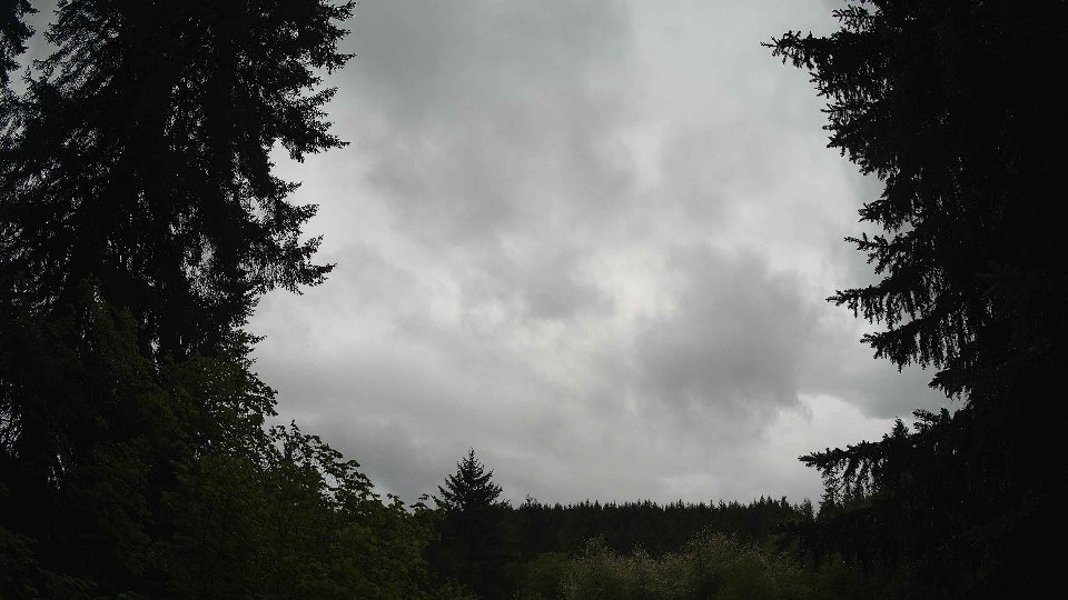
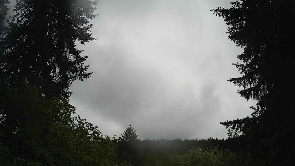
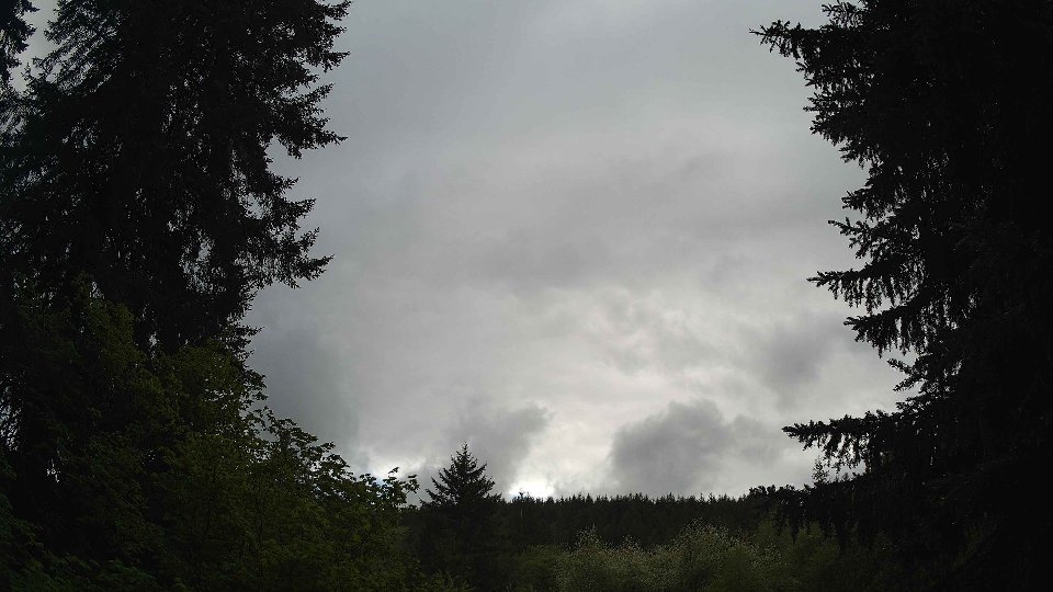
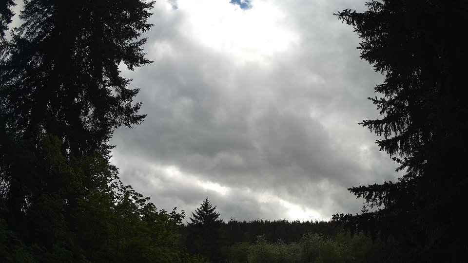
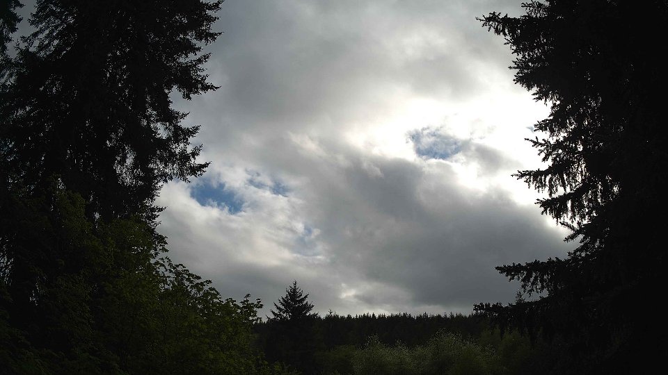
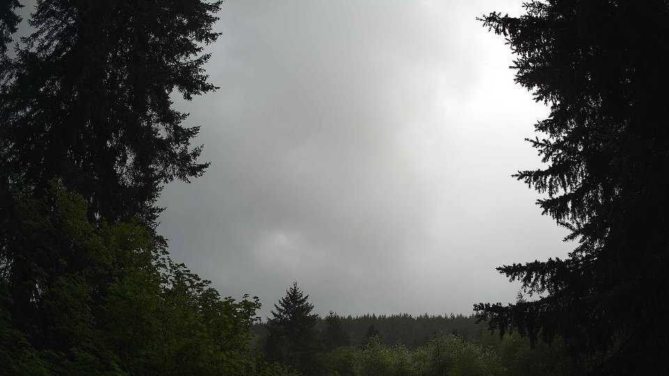
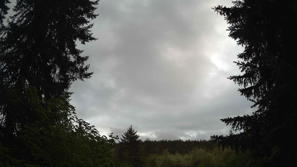
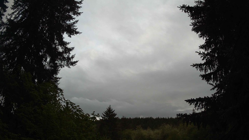
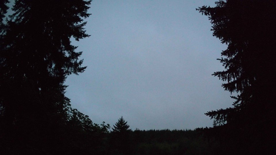
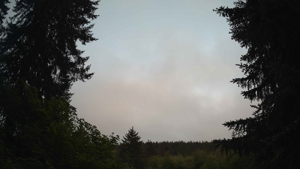
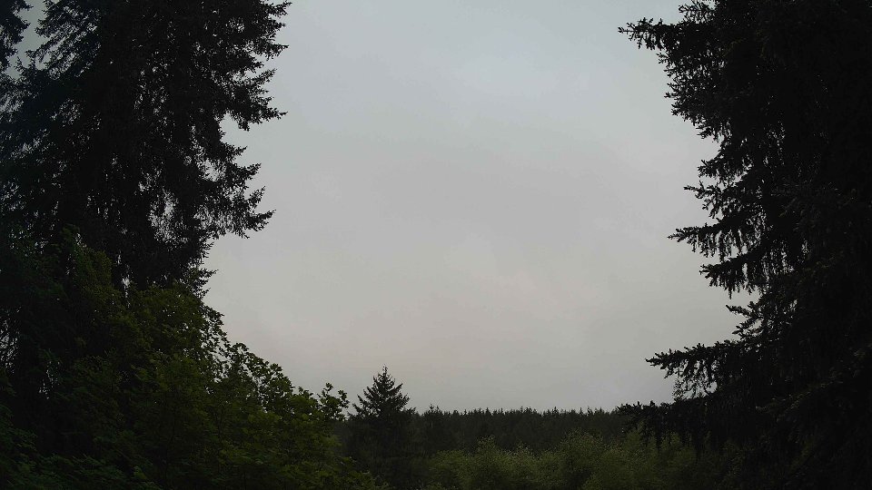
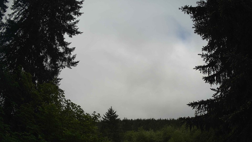
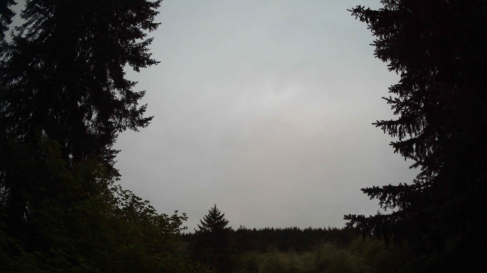
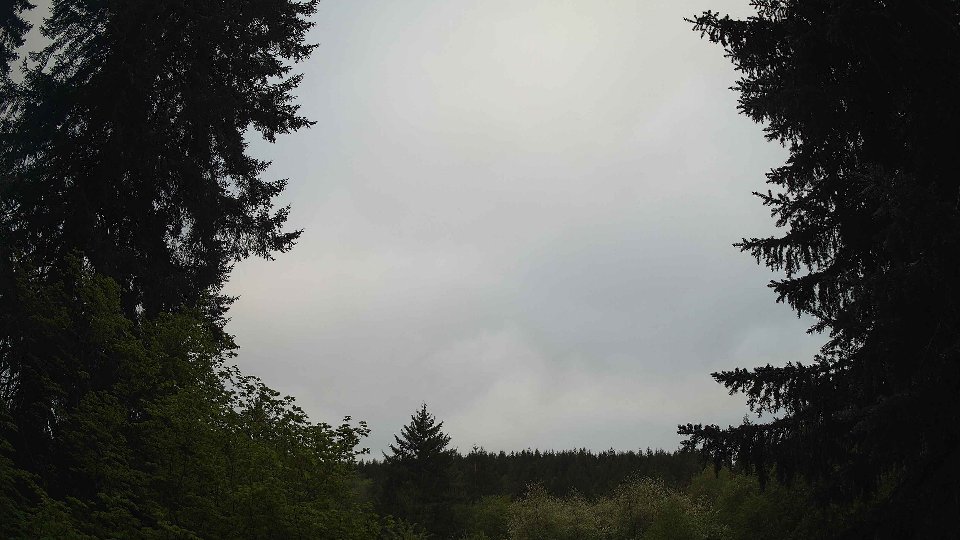
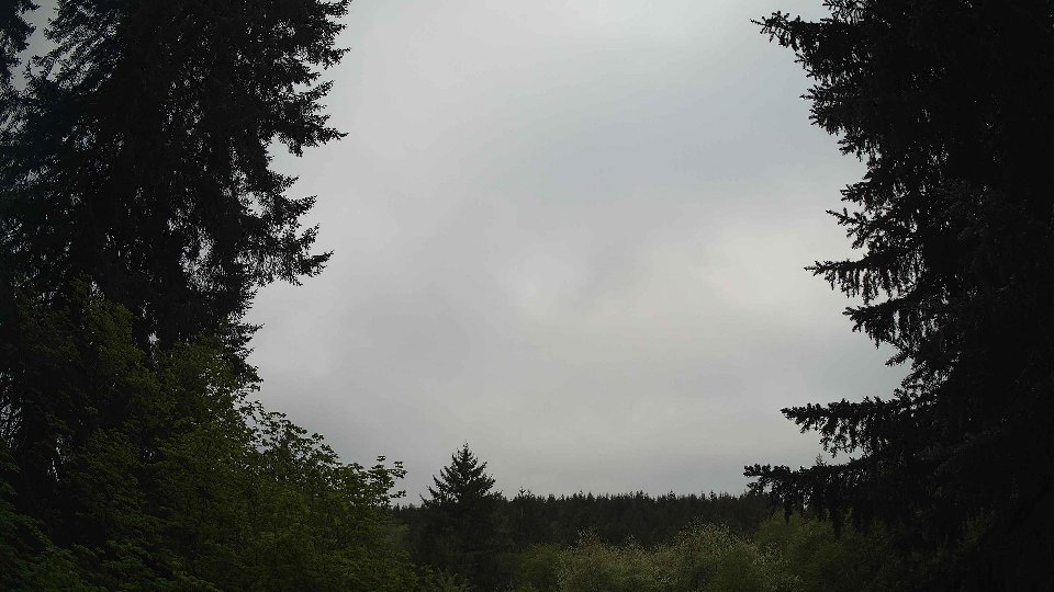
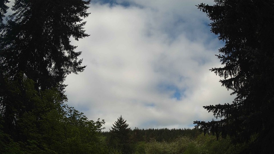
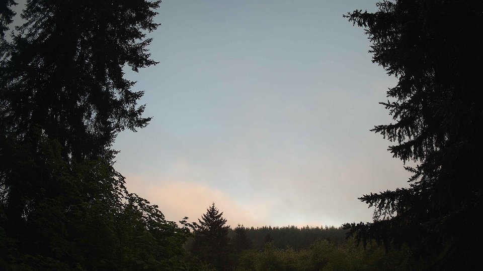
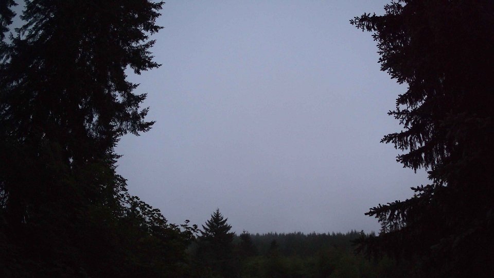
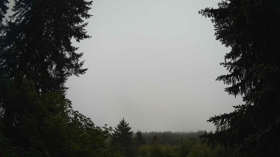
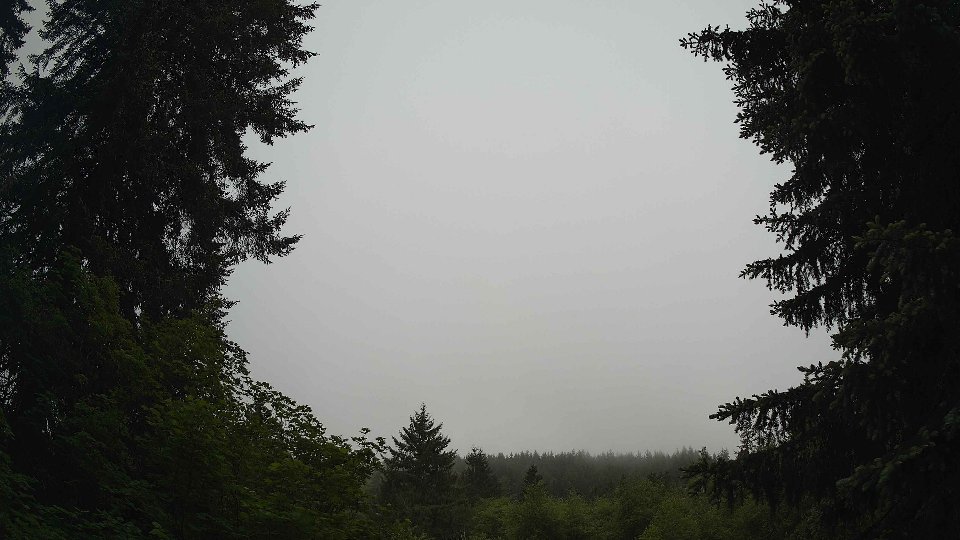
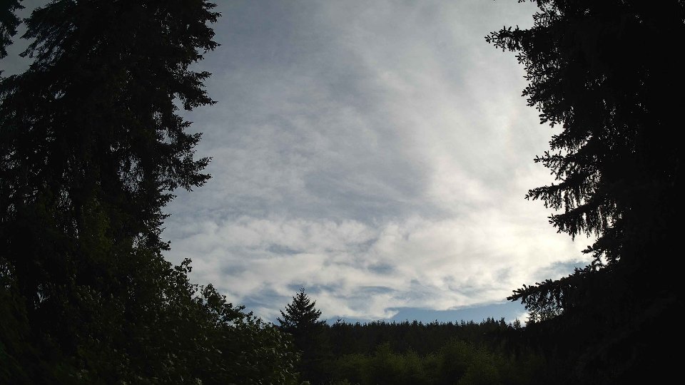
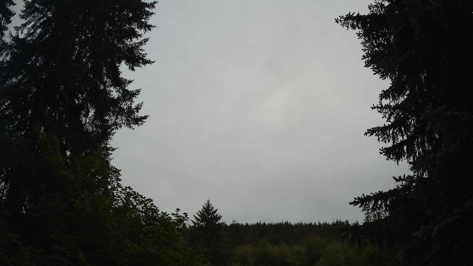
On May 13th, the day began under a dense blanket of clouds, with an impressive 100% cloud cover that enveloped the region. Surface winds, averaging about 9.8 mph, gently stirred the air close to the ground, while at 100 meters, winds were notably stronger at 17.7 mph. This disparity created a mild wind shear effect, as the stronger winds aloft pushed against the lighter surface airflow, contributing to a somewhat turbulent atmosphere. The cloud layers consisted predominantly of low and mid-level clouds, accounting for 86% and 94% of the sky, respectively, with high clouds also making an appearance at 94.4%. These layered clouds not only blocked the sun's warmth, keeping temperatures around a chilly 50.8°F, but they also contributed to the morning's precipitation of 0.56 inches, a steady drumming of rain that set the stage for the day ahead.
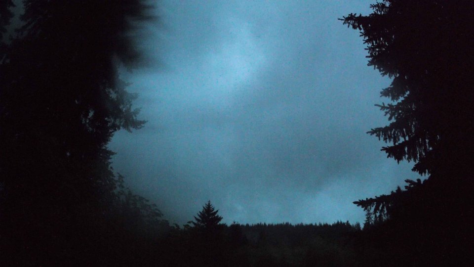
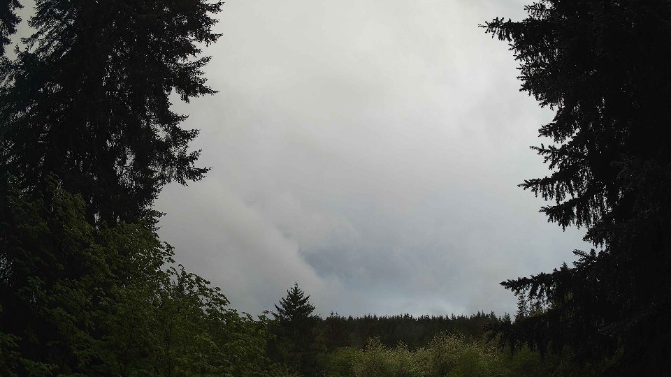
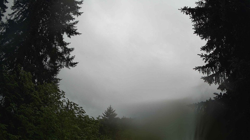
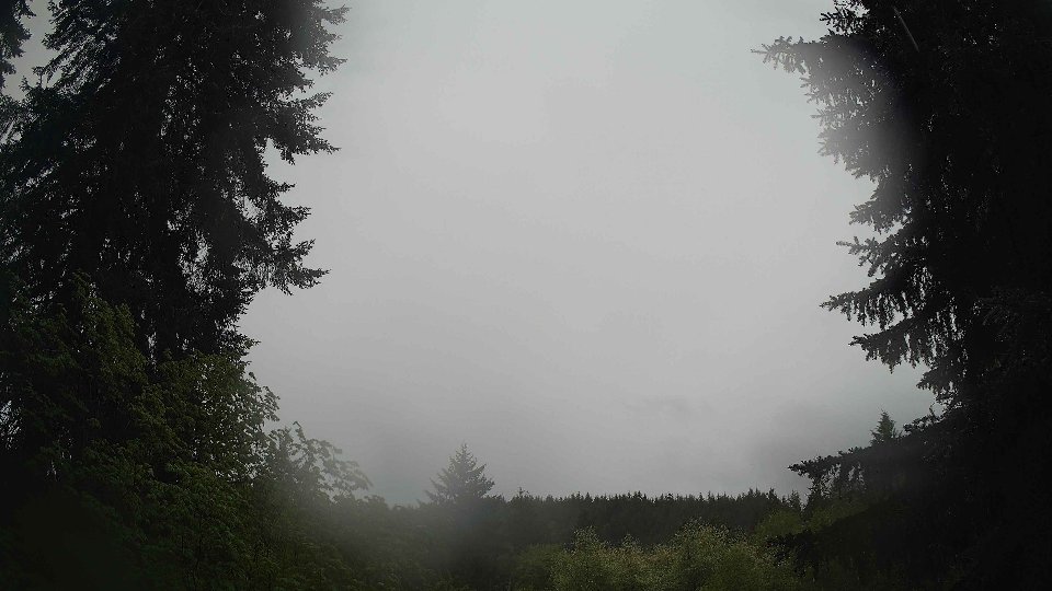
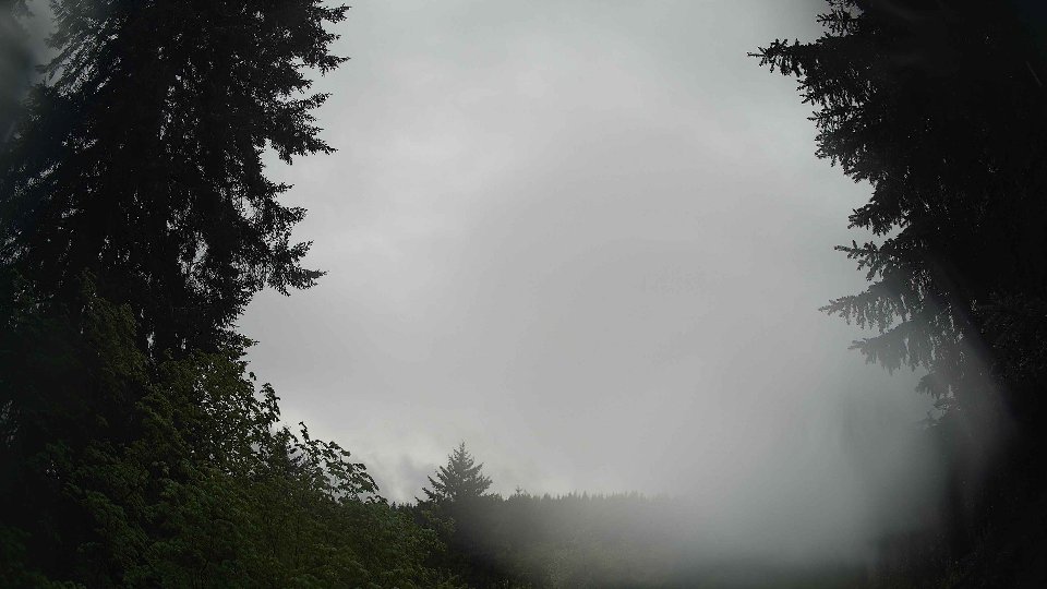
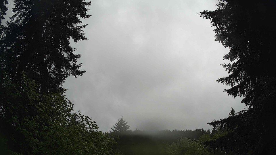
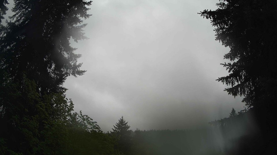
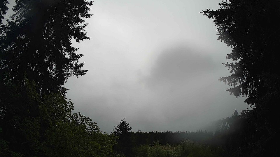
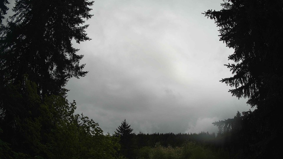
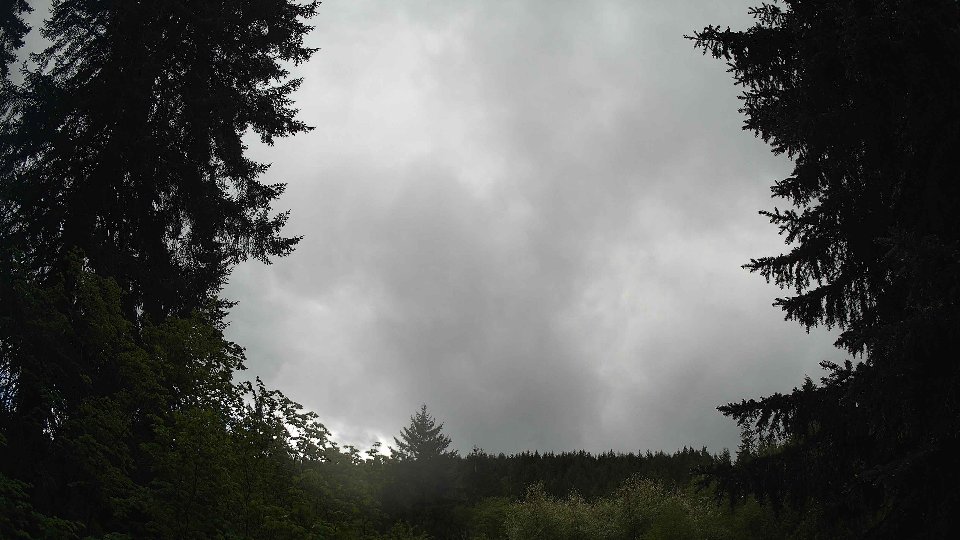
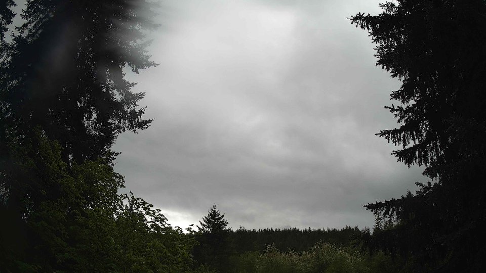
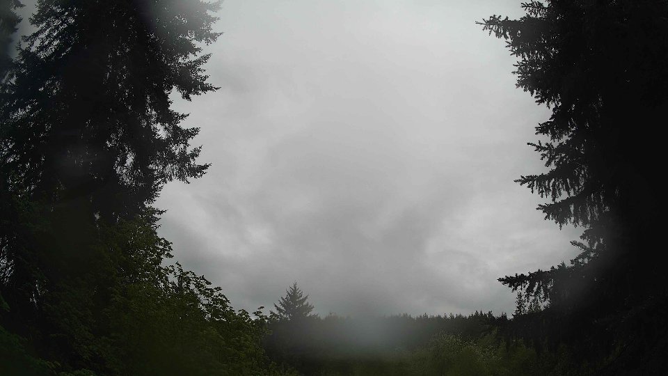
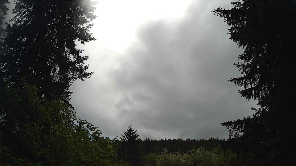
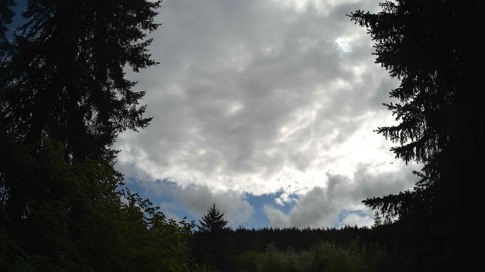
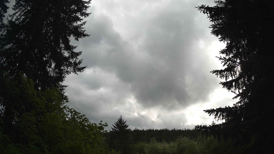
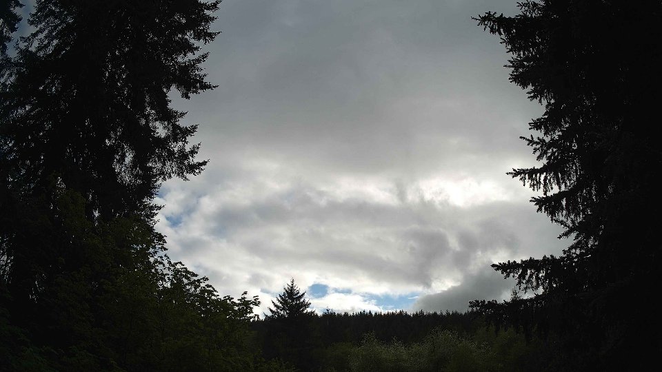
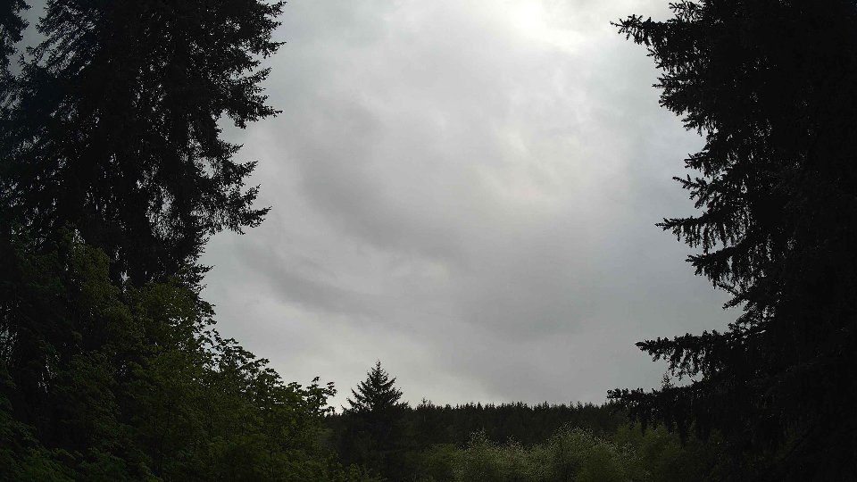
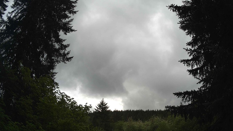
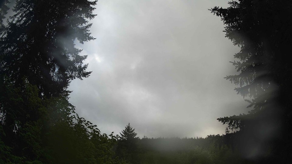
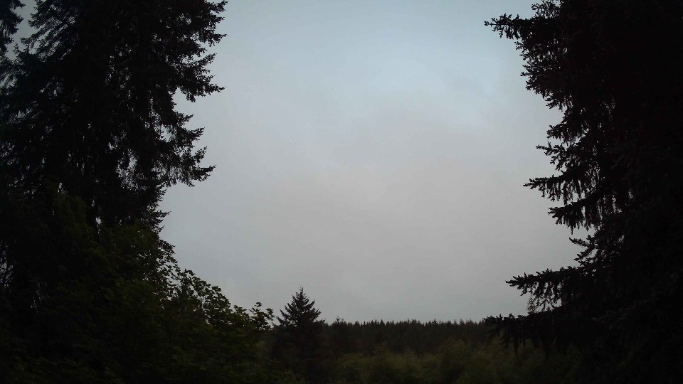
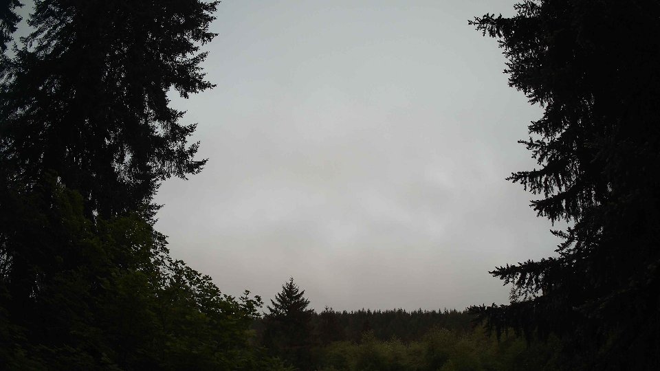
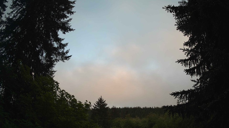
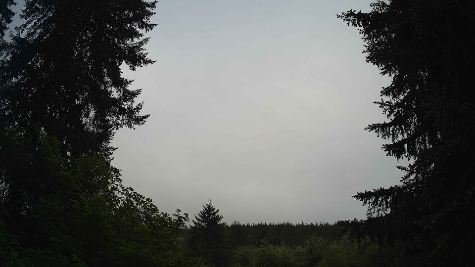
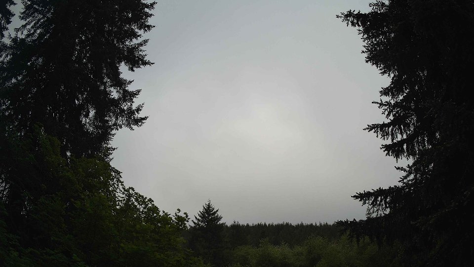
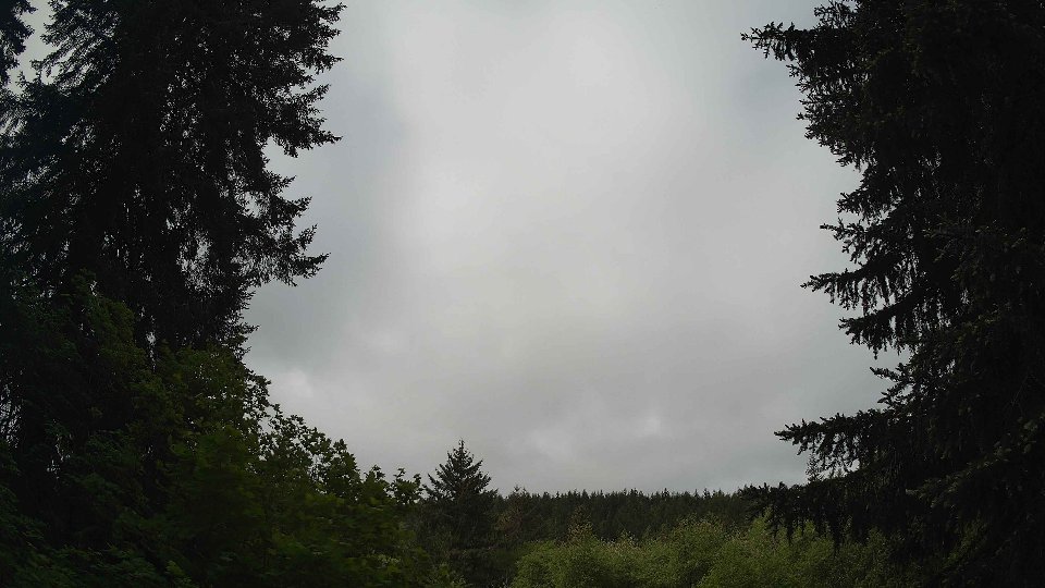
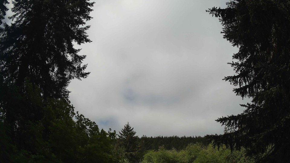
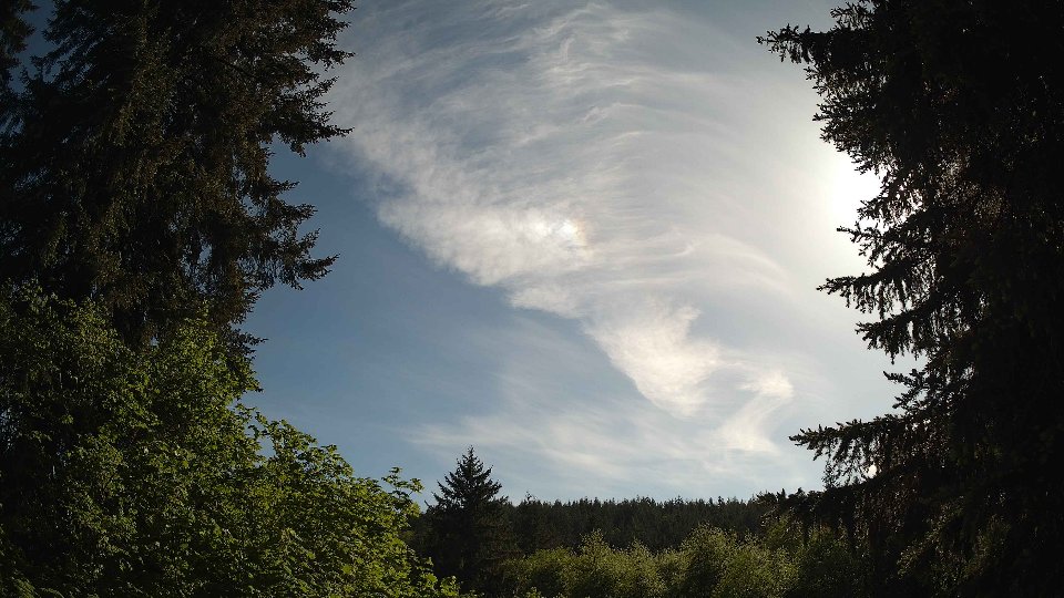
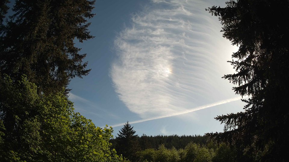
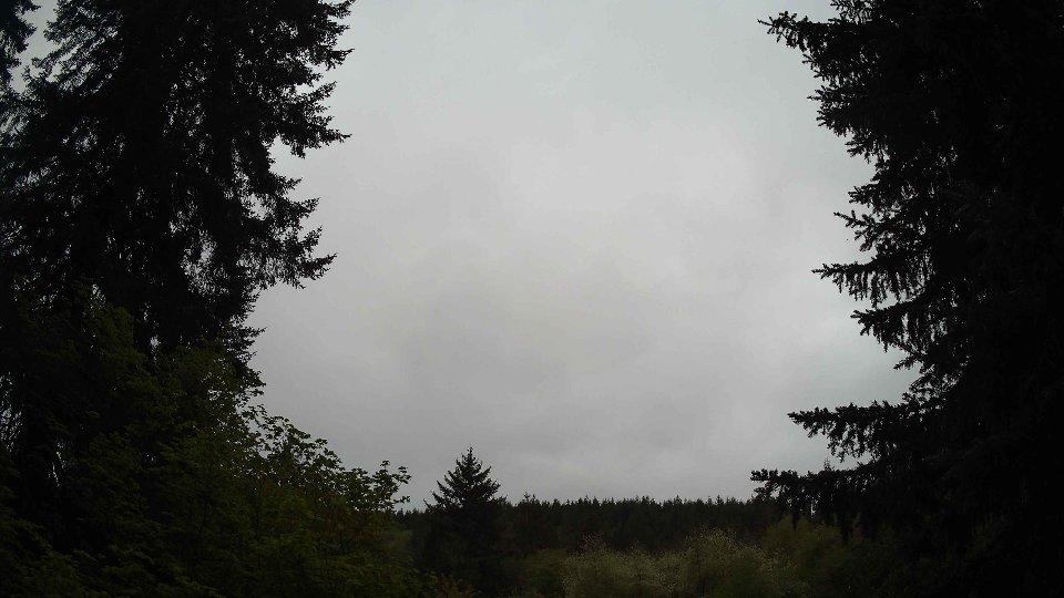
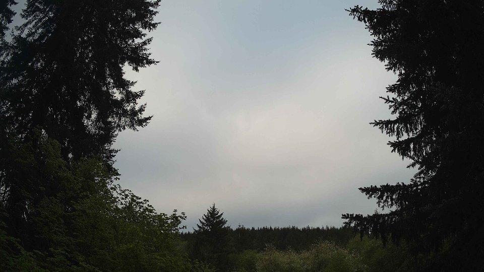
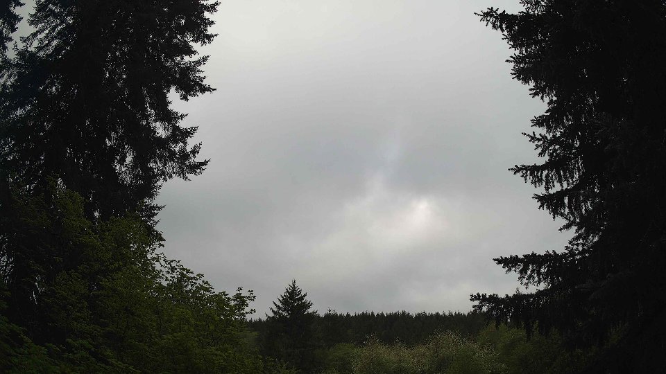
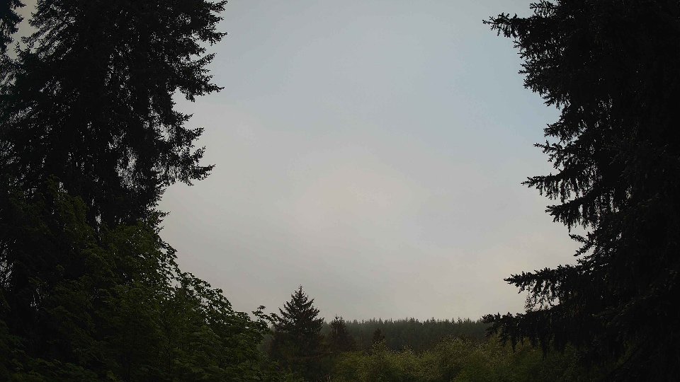
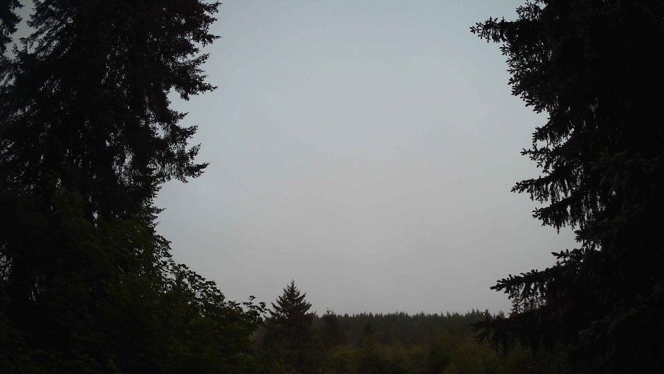
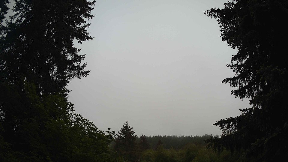
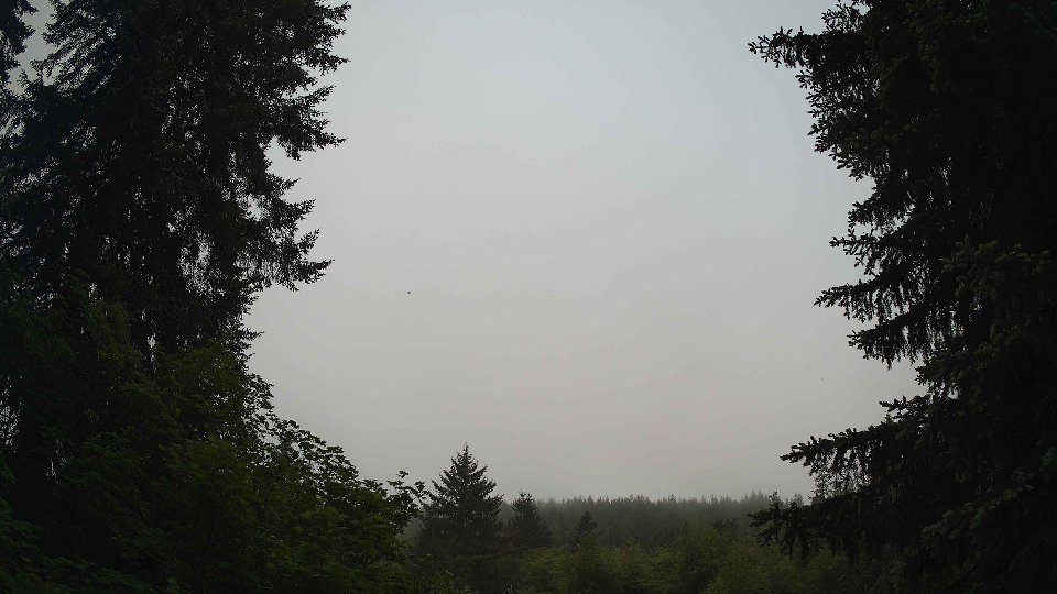
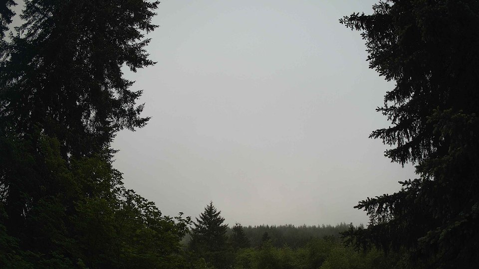
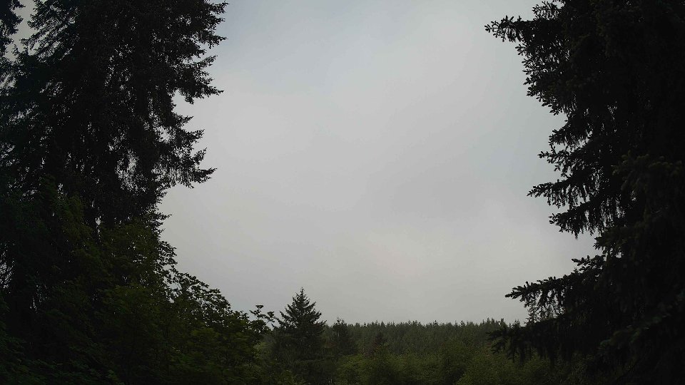
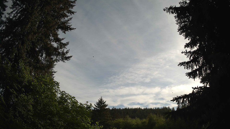
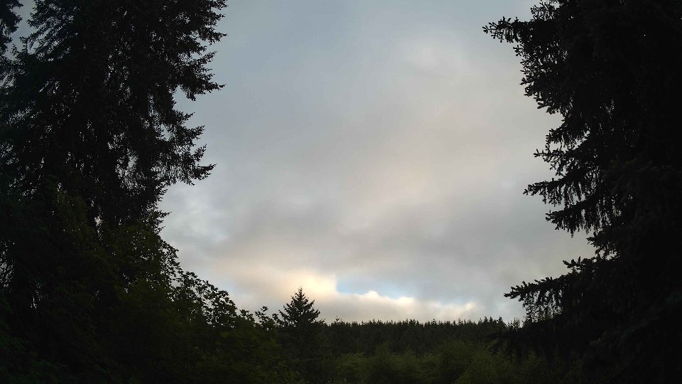
As the day progressed into midday, the cloud cover persisted at a solid 100%, but the nature of the winds began to change subtly. Surface winds picked up slightly to 11.2 mph, while winds at 100 meters increased to 18.1 mph, reinforcing the wind shear dynamics that were present earlier. The low clouds, now making up 98% of the overall cover, remained thick and oppressive, trapping moisture and bringing about a further light rain of 0.04 inches. High clouds disappeared entirely, which allowed for a slight increase in temperatures to an average of 53.1°F. The combination of these conditions led to an interesting visual effect, as the low clouds shifted and swirled with the stronger winds aloft, creating a dynamic sky that seemed to pulse with energy. The turbulence was particularly notable as the conflicting directional winds at different altitudes stirred the clouds into a slow churn.
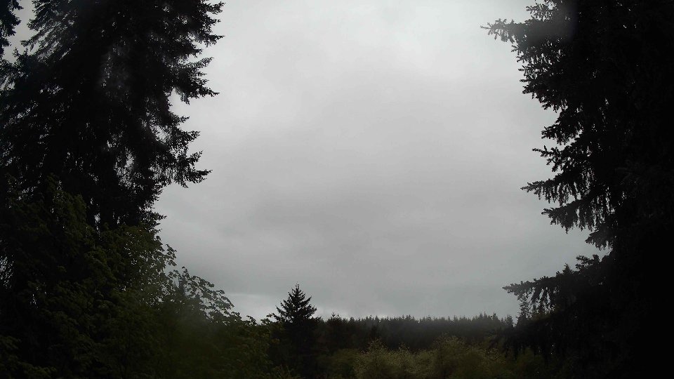
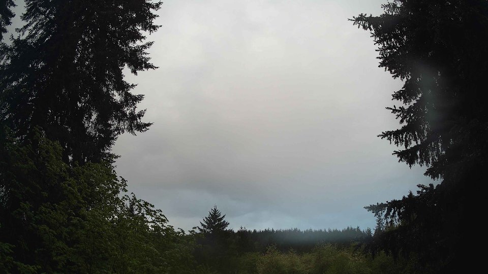
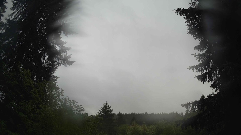
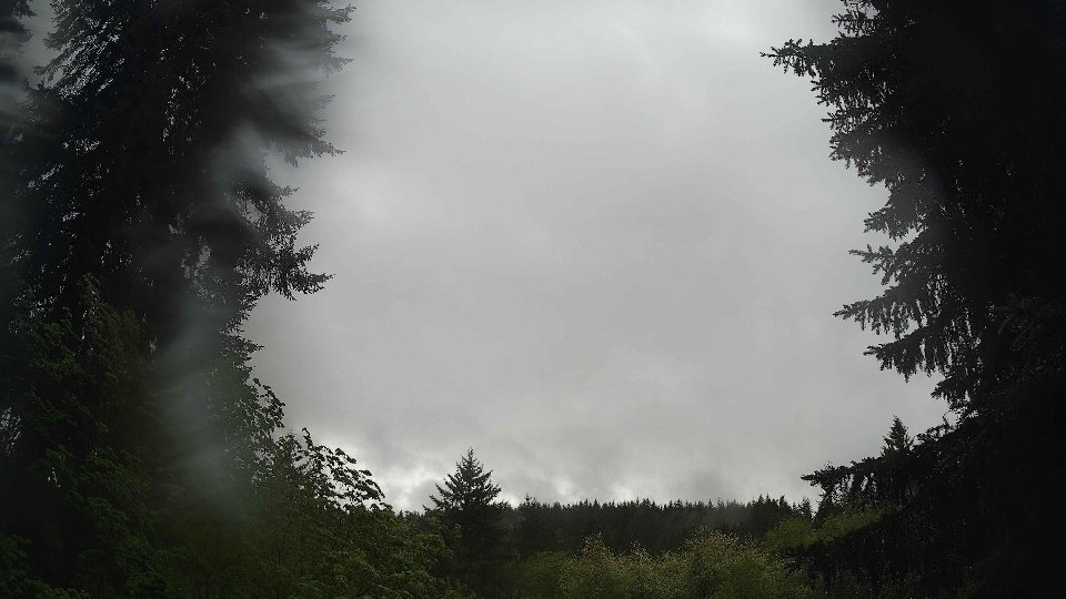
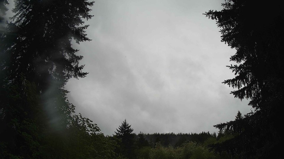
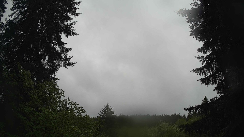
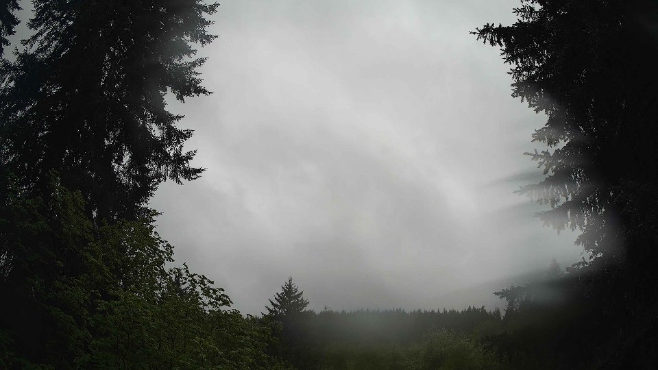
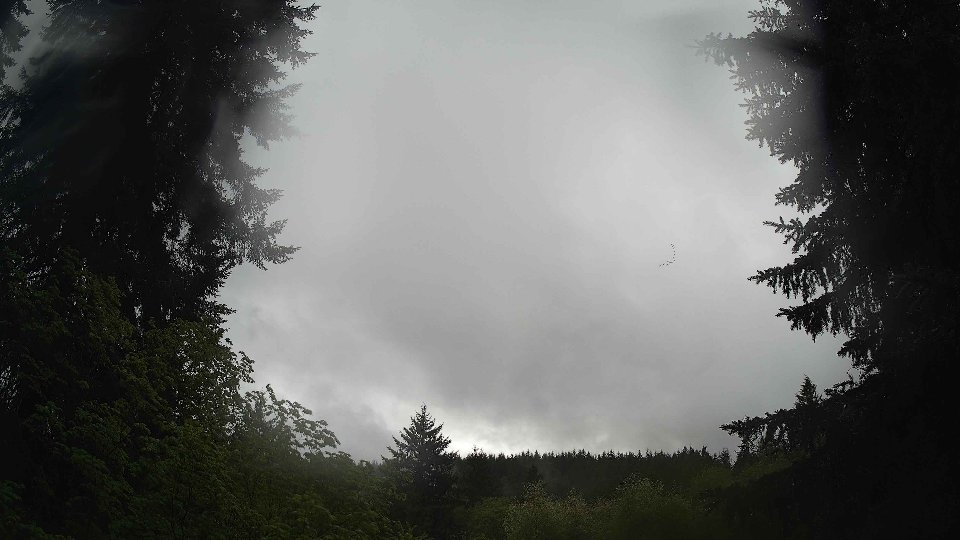
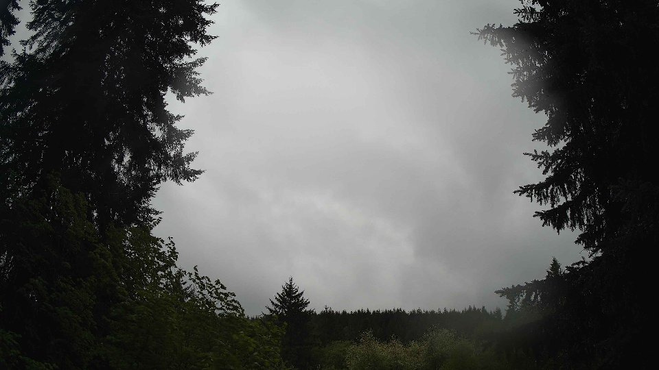
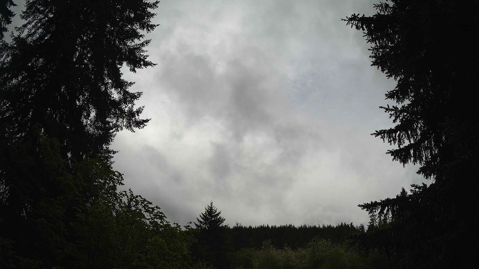
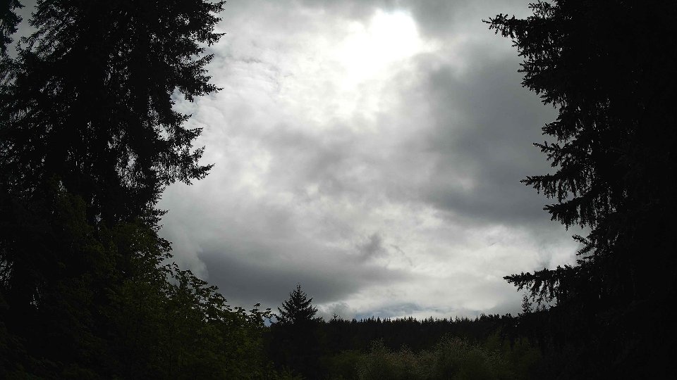
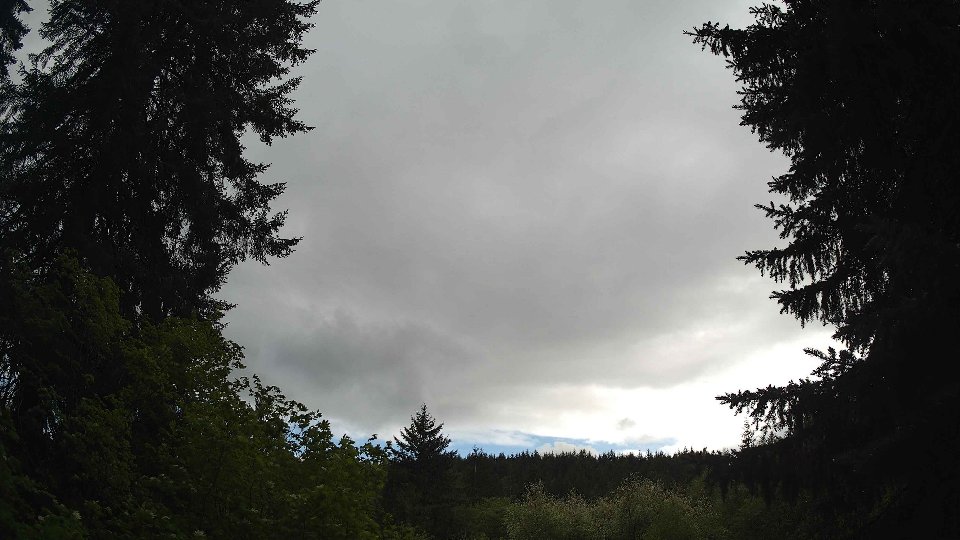
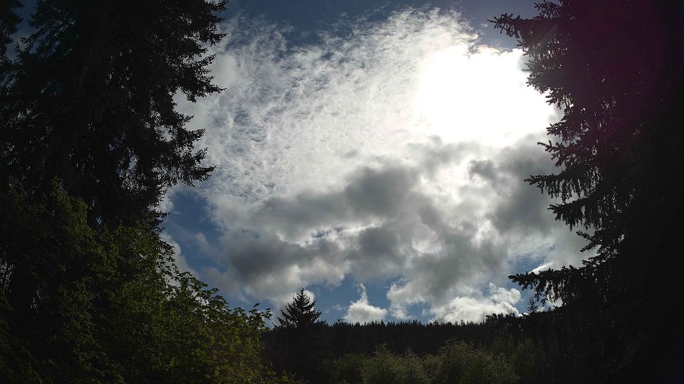
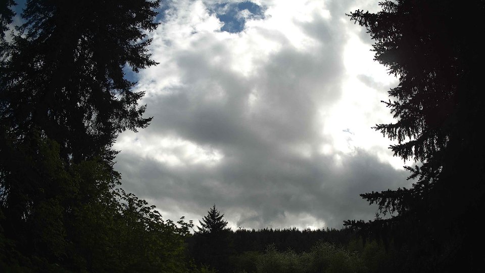
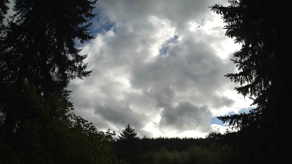
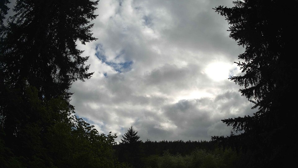
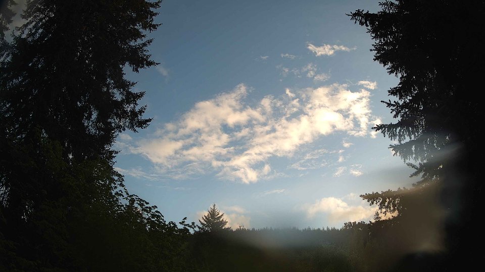
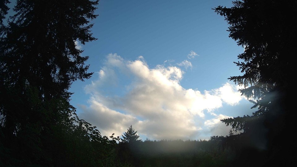
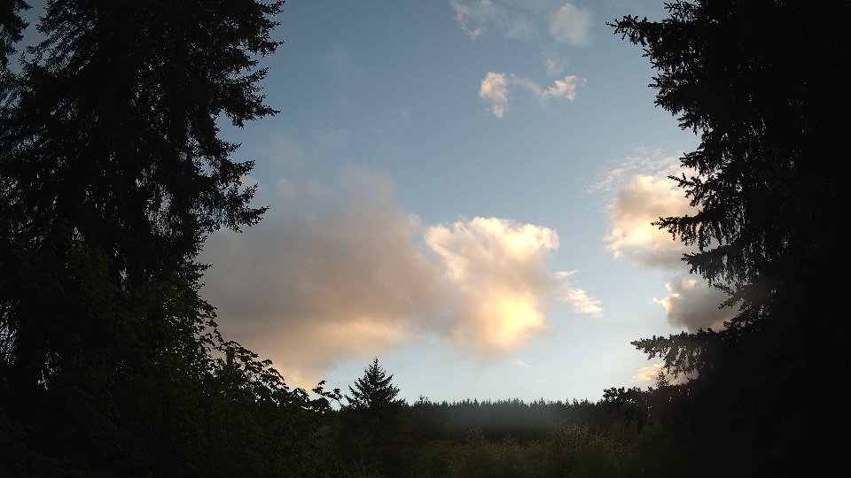
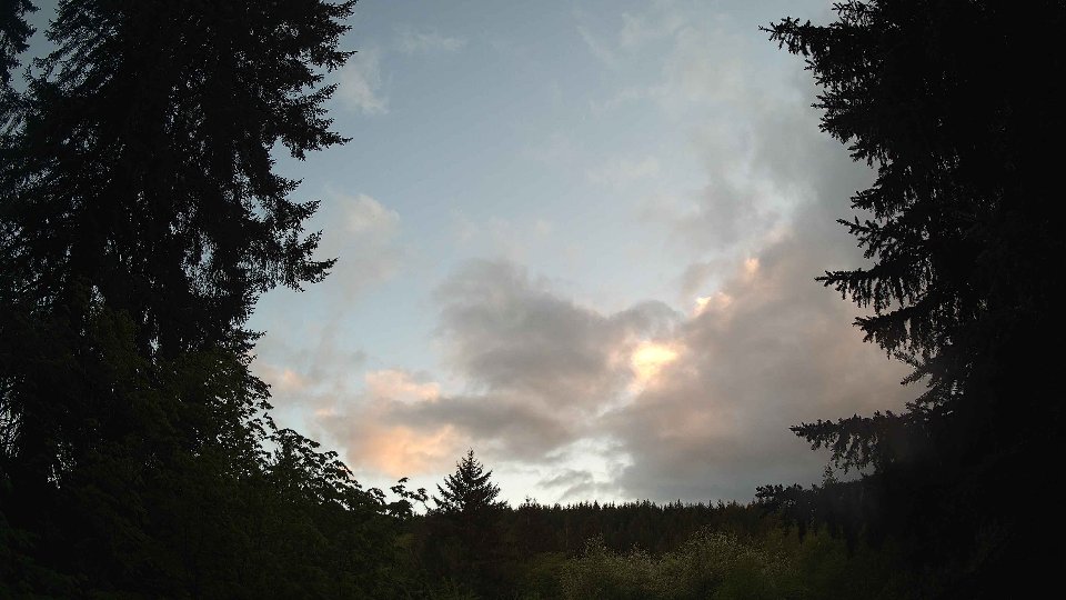
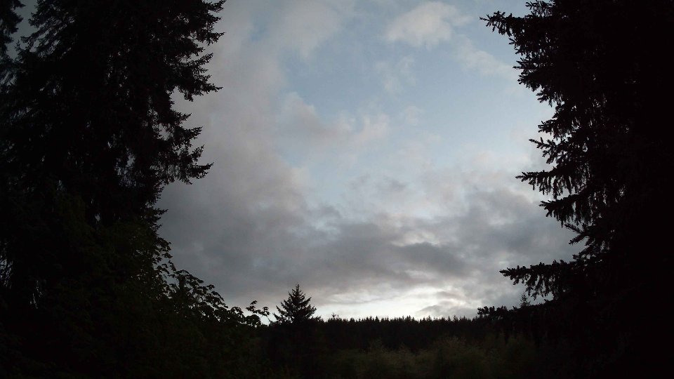
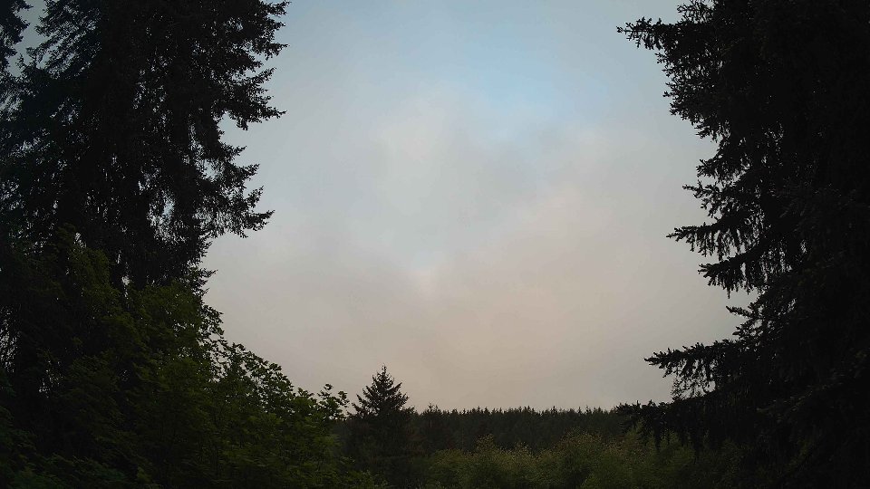
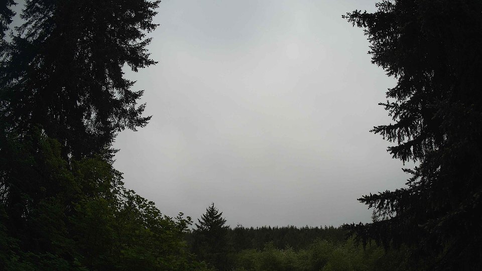
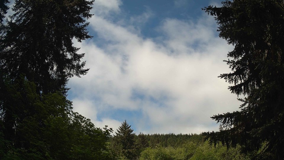
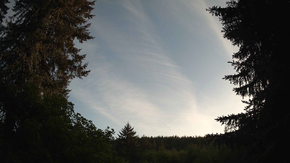
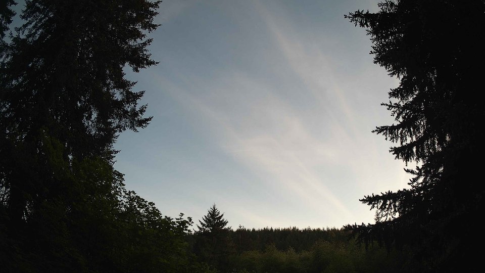
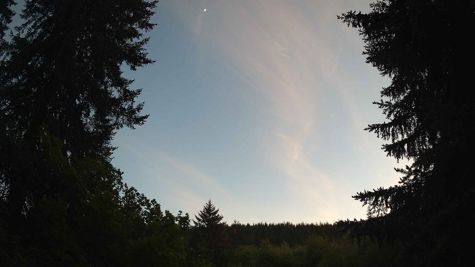
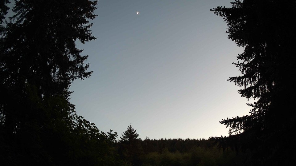
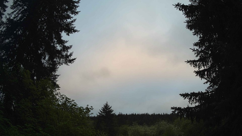
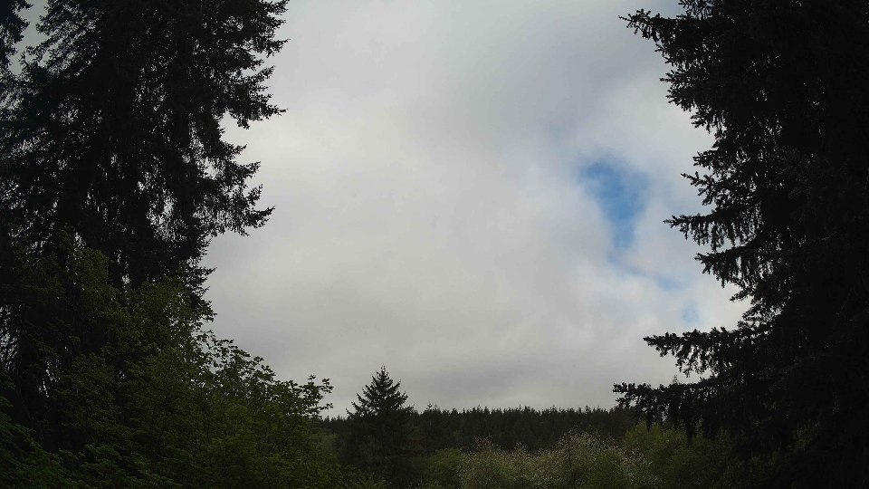
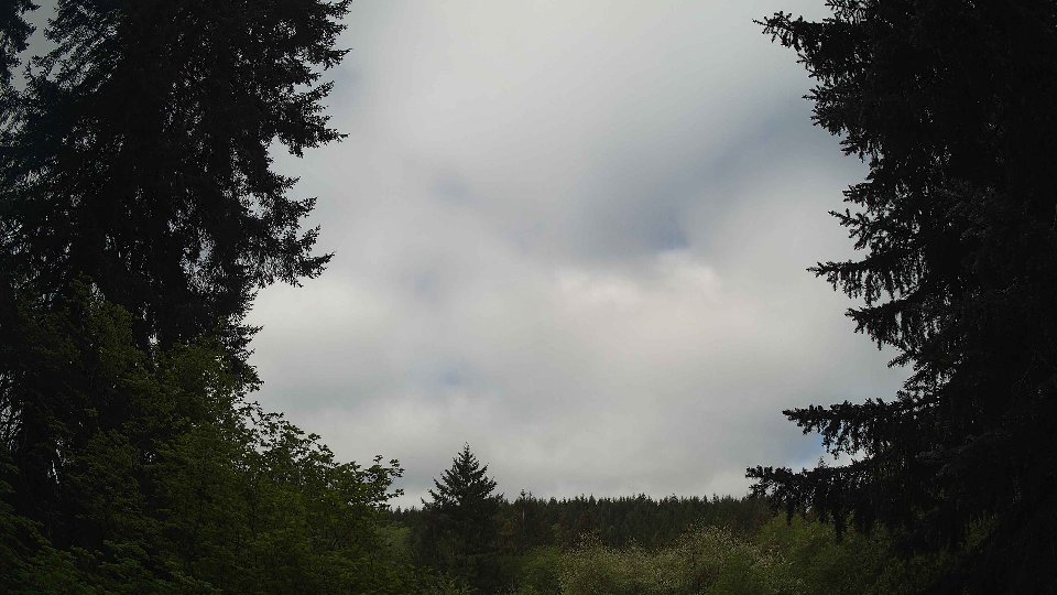
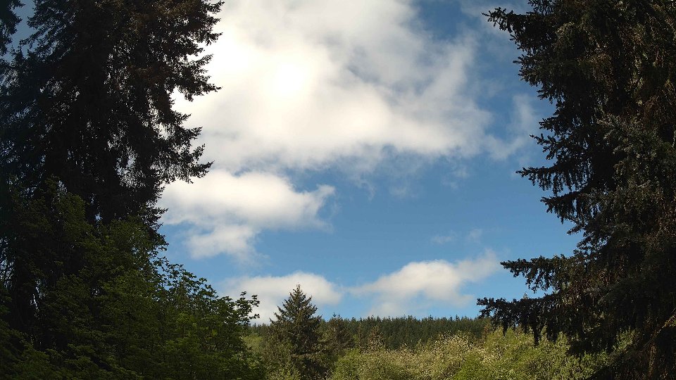
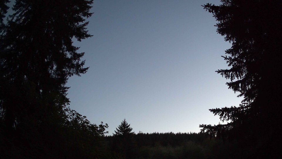
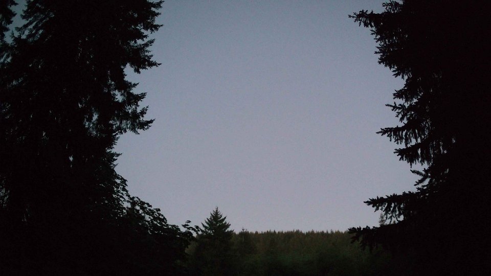
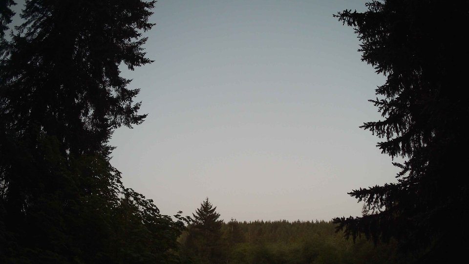
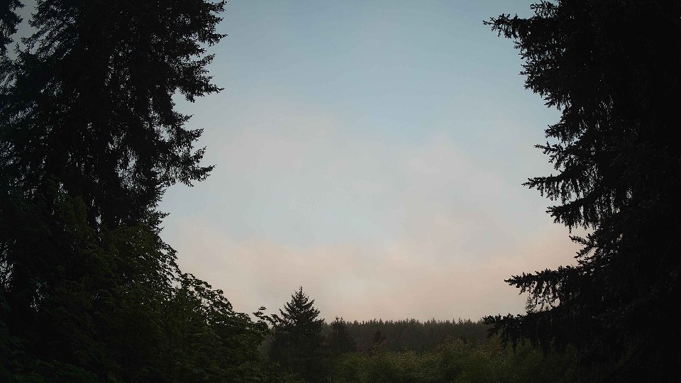
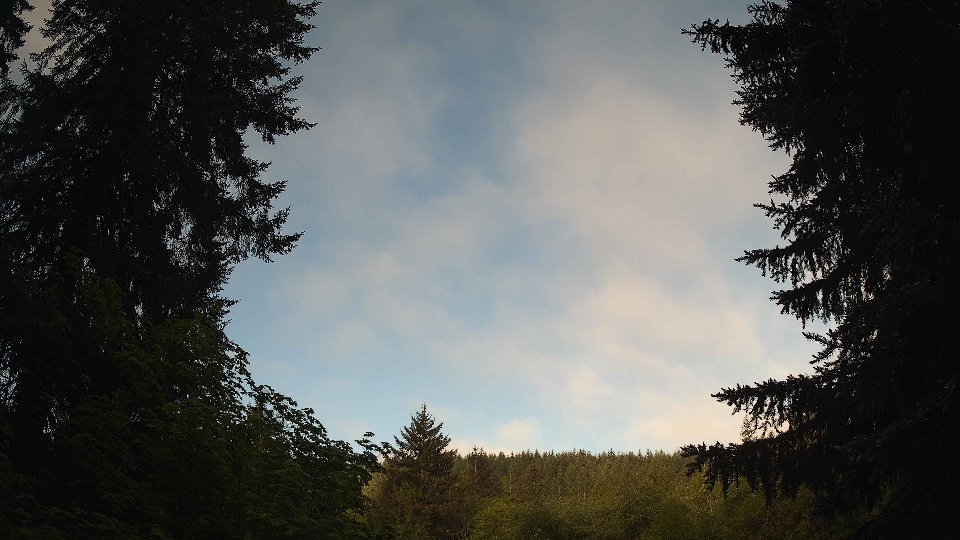
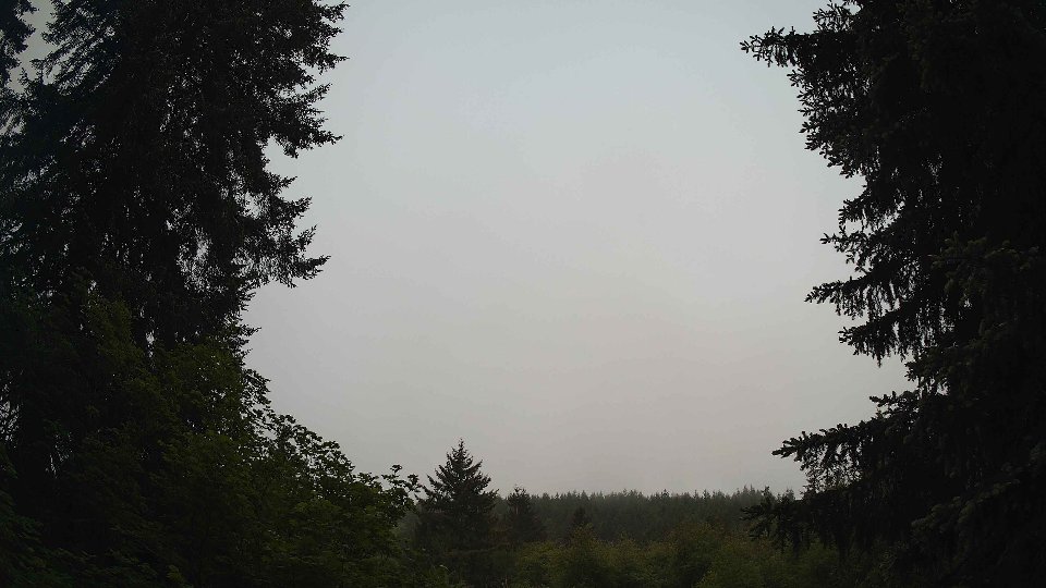
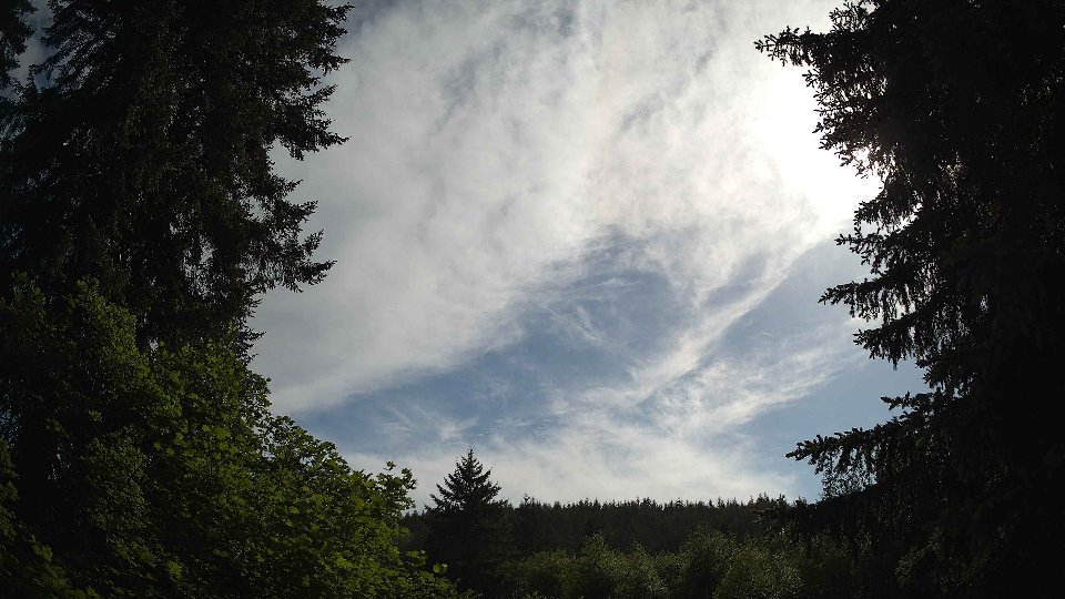
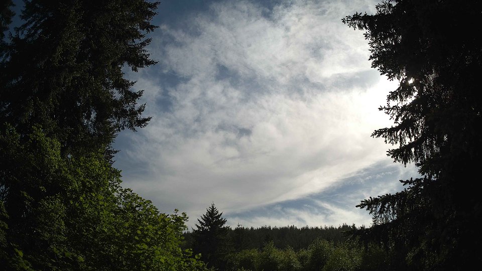
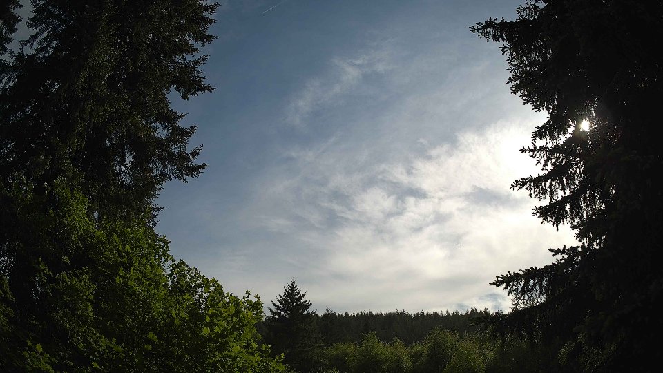
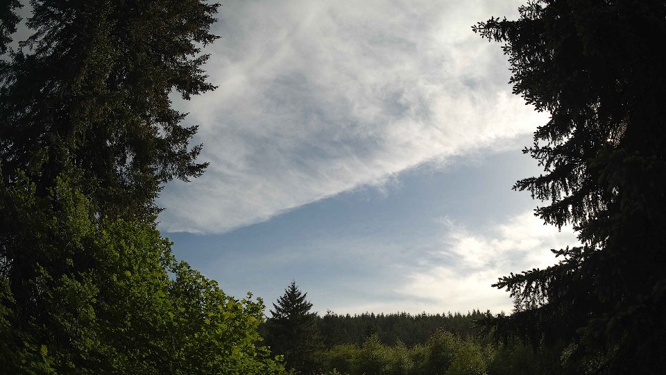
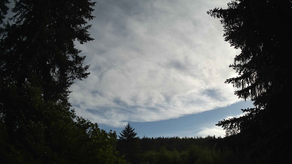
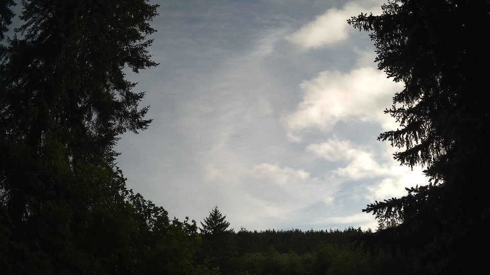
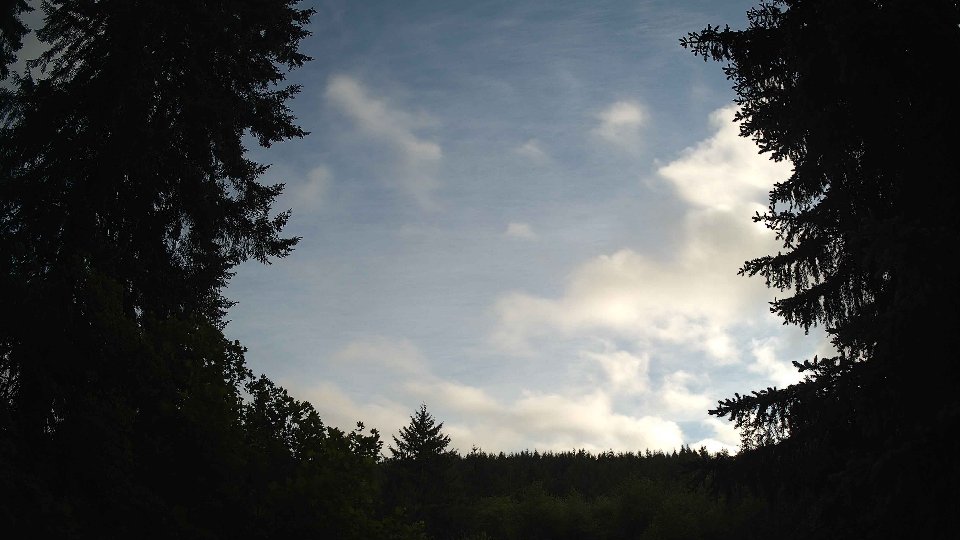
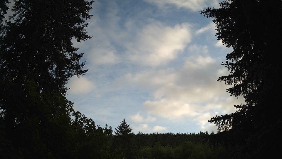
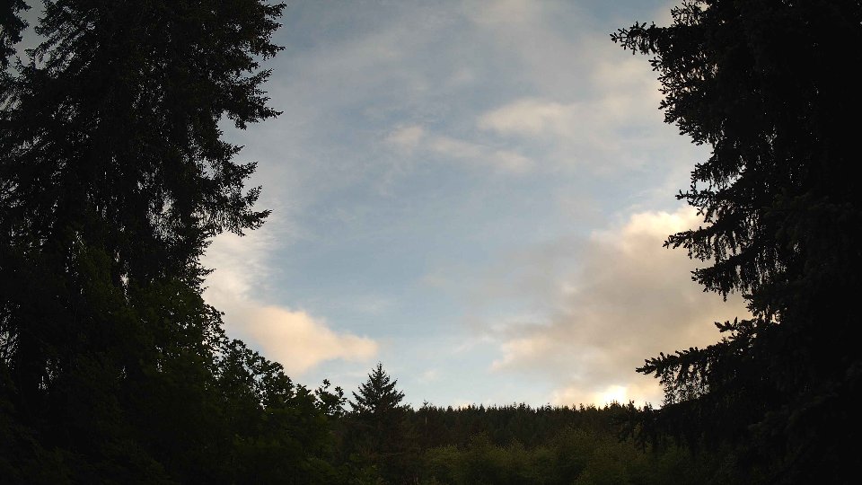
By evening, the weather began to shift significantly as the cloud cover diminished to an average of 45.5%. Surface winds remained consistent at 10.0 mph, while winds at 100 meters dropped to 15.6 mph, indicating a gradual calming of the atmosphere. This change allowed for clearer patches to emerge, with low clouds retreating to just 25.2% coverage, mid clouds following suit at 36.2%, and a sparse 6% of high clouds beginning to reappear. The evening's temperature climbed slightly to an average of 55.5°F, and only a trace of precipitation of 0.02 inches was recorded. The clouds that remained displayed a more layered effect, with visible breaks allowing glimpses of blue sky, creating a beautiful contrast with the remaining cloud structures. This transition from an overcast morning to a more varied evening sky illustrated the fluid nature of weather patterns, characterized by their constant dance between wind and cloud dynamics.
May 13th, 2026 Timeline
Screenshots with weather data (wind layers, clouds, precipitation)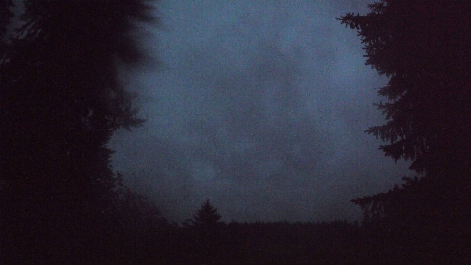


Weather Info for May 13th, 2026
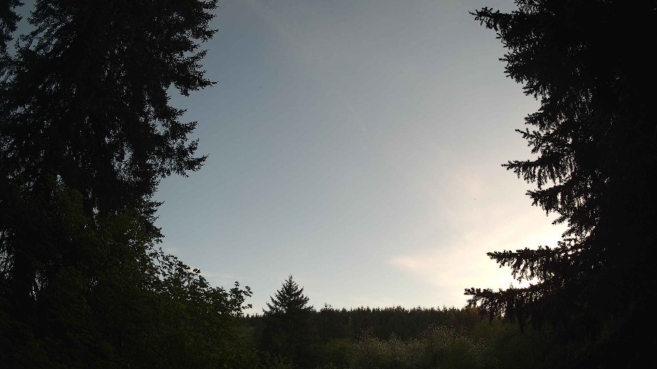
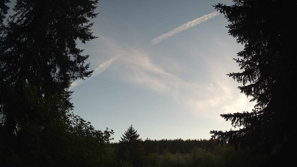
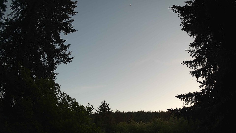
Sunset: 8:35 PM