June 27th, 2026 Timelapse
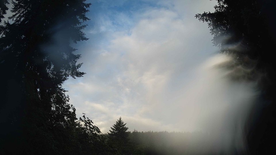
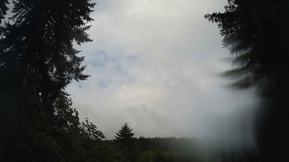
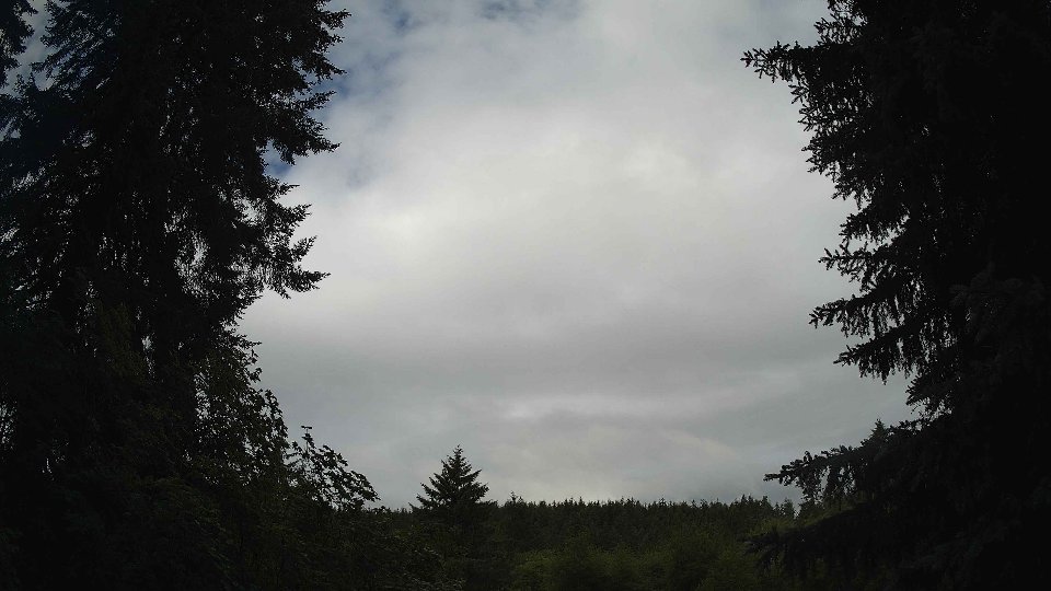
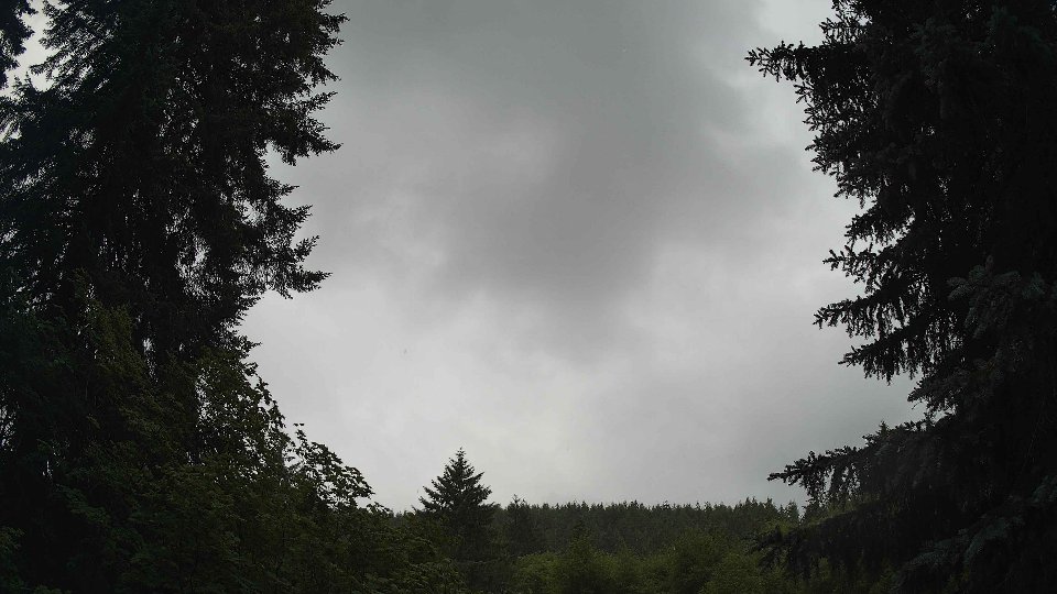
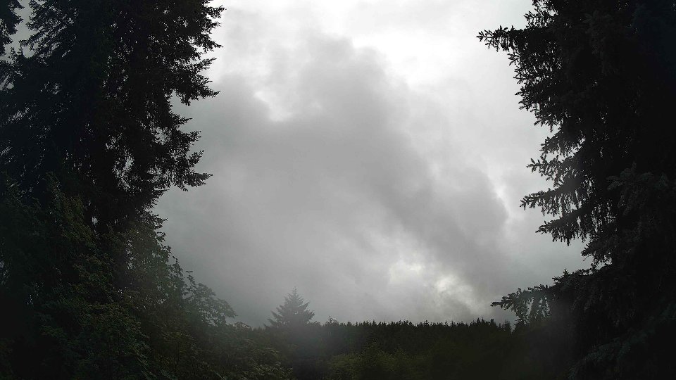
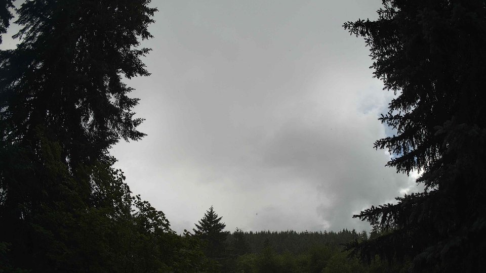
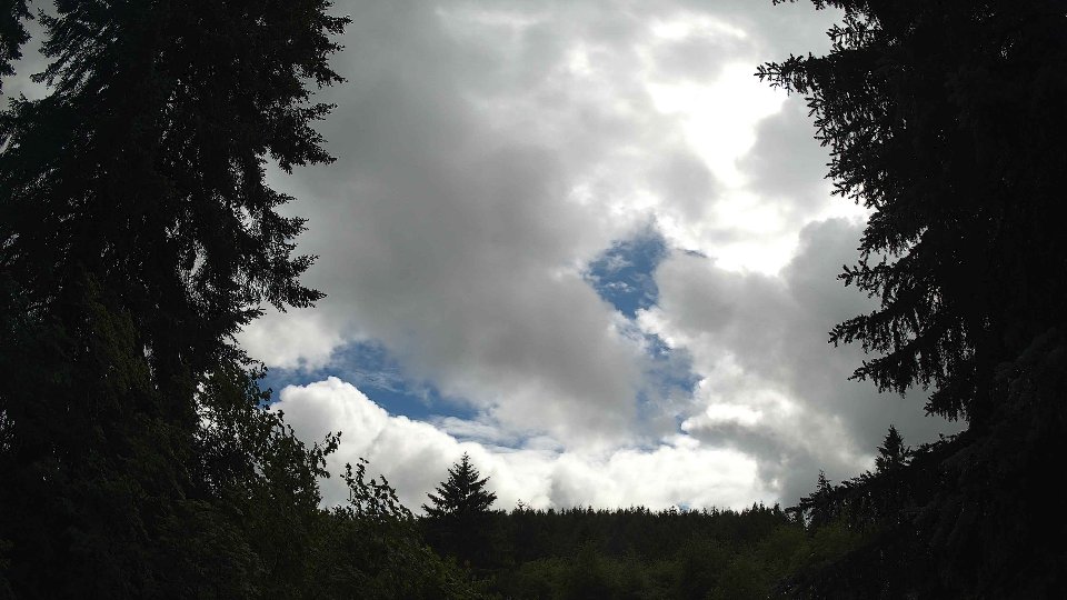
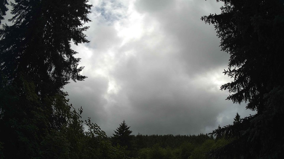
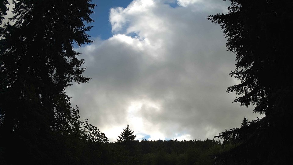
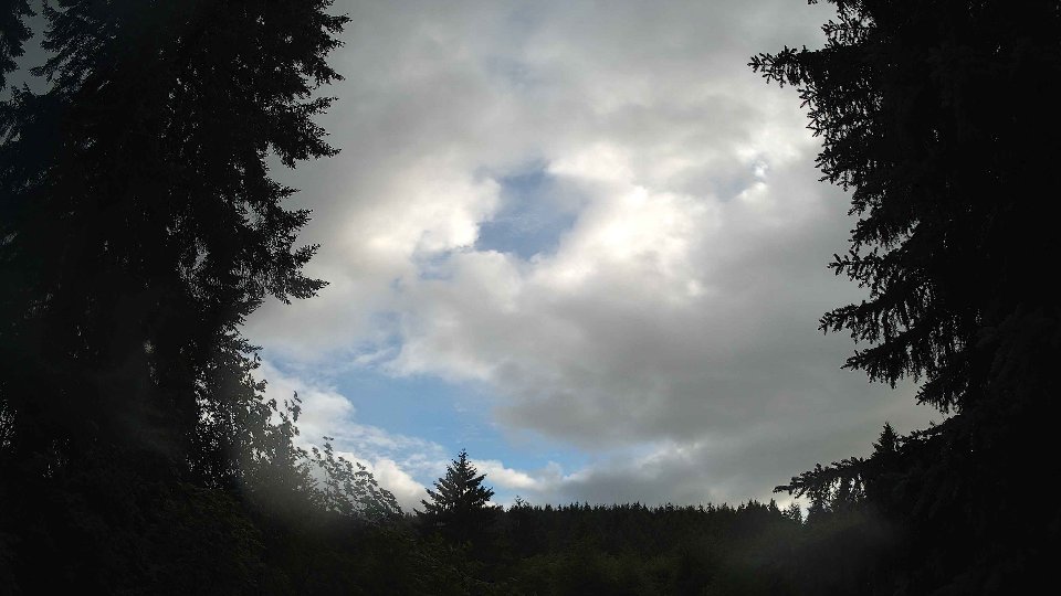
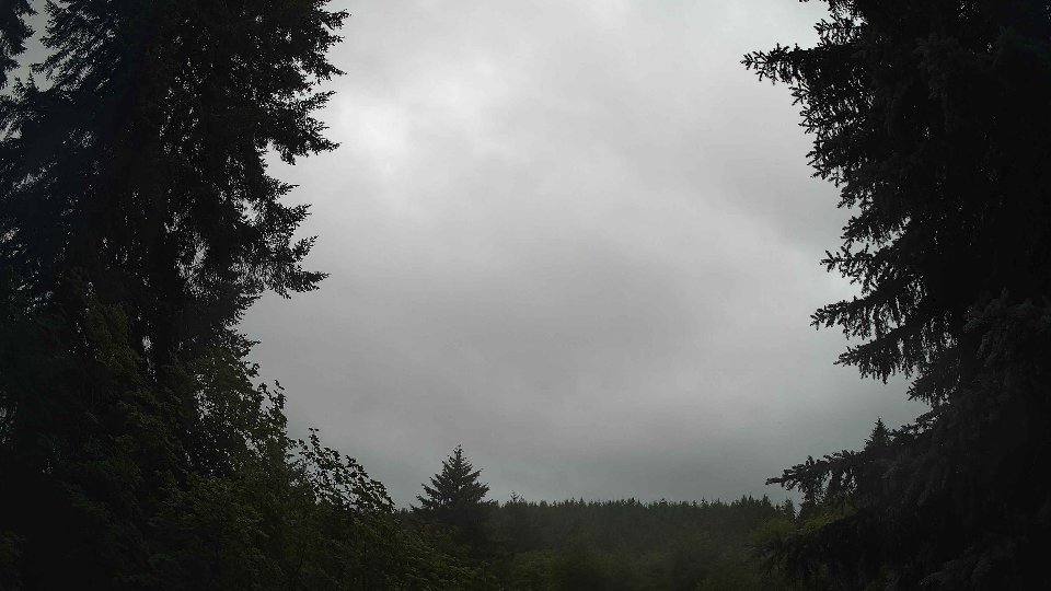
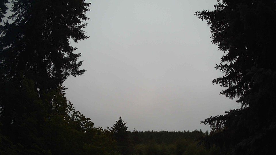
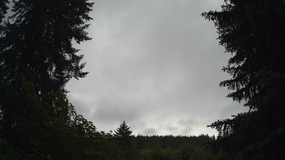
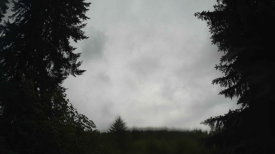
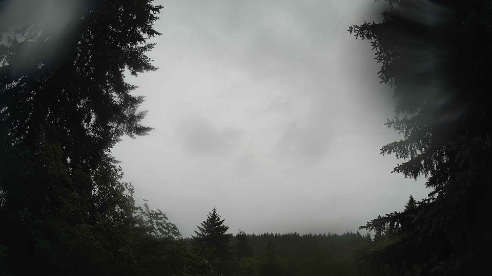
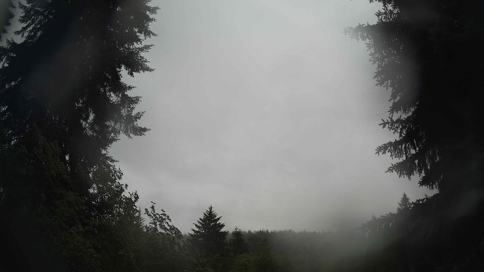
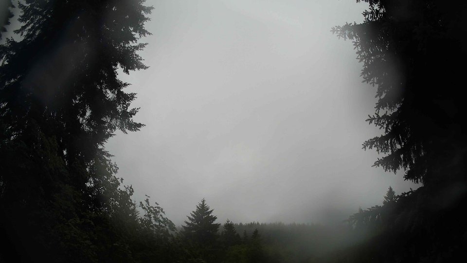
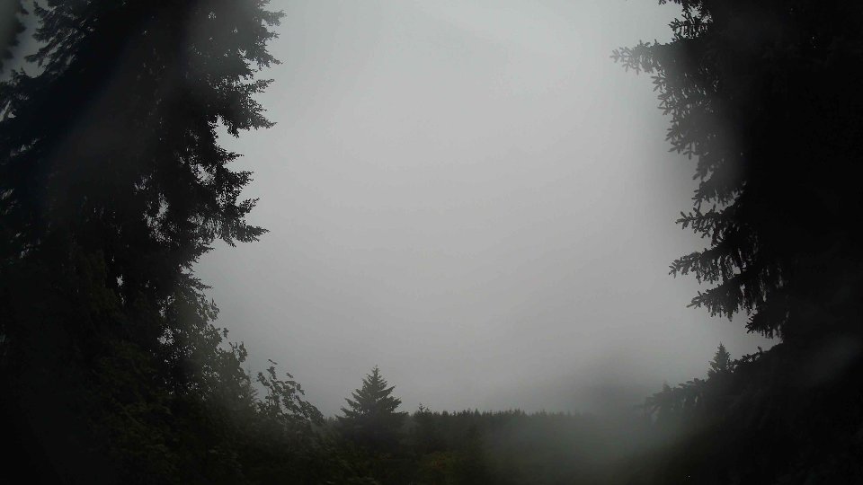
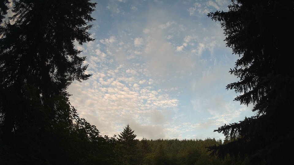
On June 27th, the day began under a blanket of clouds, with temperatures averaging around 54.4°F. Surface winds were relatively gentle, clocking in at an average of 4.9 mph, while winds aloft at 100 meters were noticeably stronger at 7.8 mph, creating a modest wind shear that hinted at some turbulence. The cloud cover was substantial, with low clouds making up about 49% of the sky, mid-level clouds at 40%, and a sparse 3% of high clouds. This significant cloud cover suggested a stable atmosphere, yet the gentle surface winds were not strong enough to dissipate them. As the morning progressed, the wind dynamics began to influence the cloud movement, with the higher winds allowing for a slow drift of the cloud layers across the sky, maintaining a consistent overcast appearance.
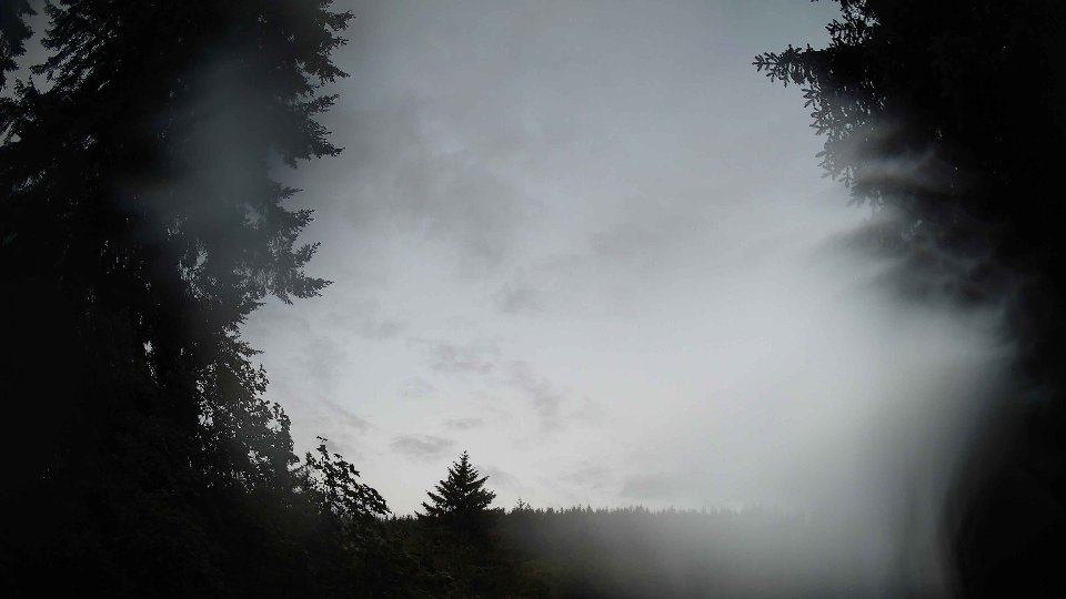
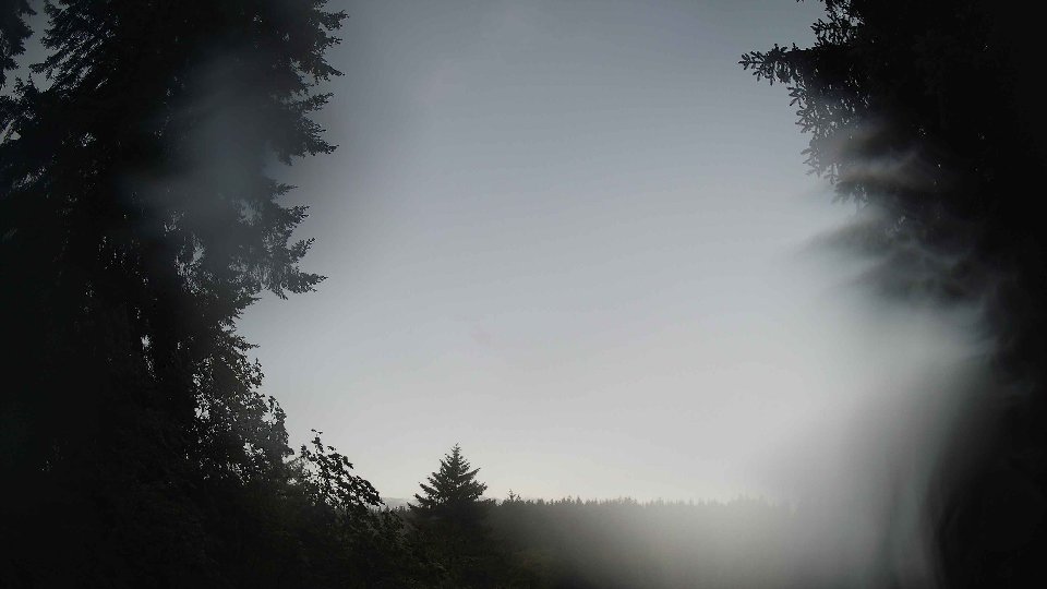
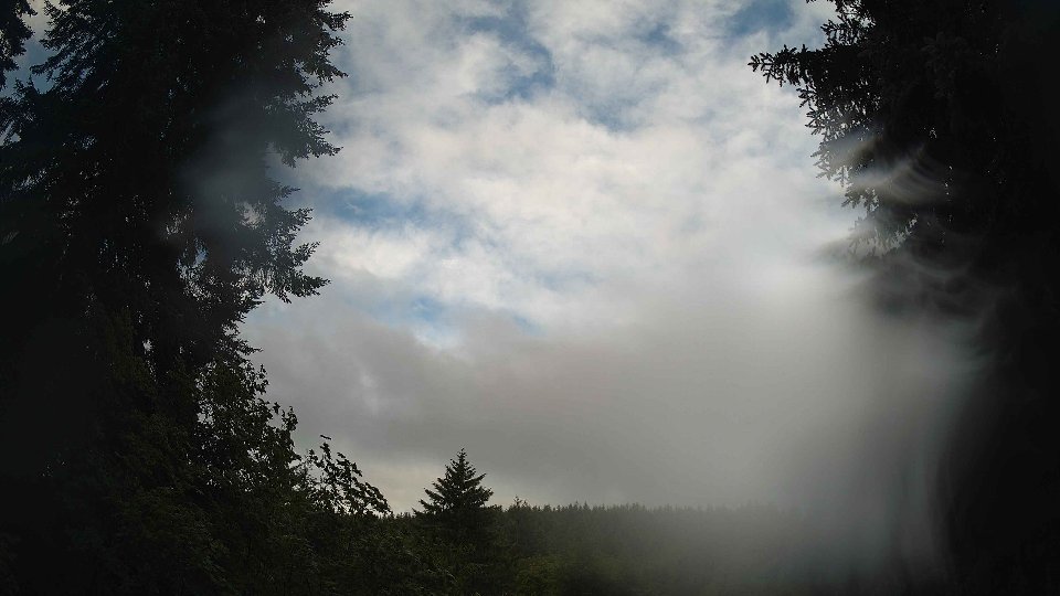
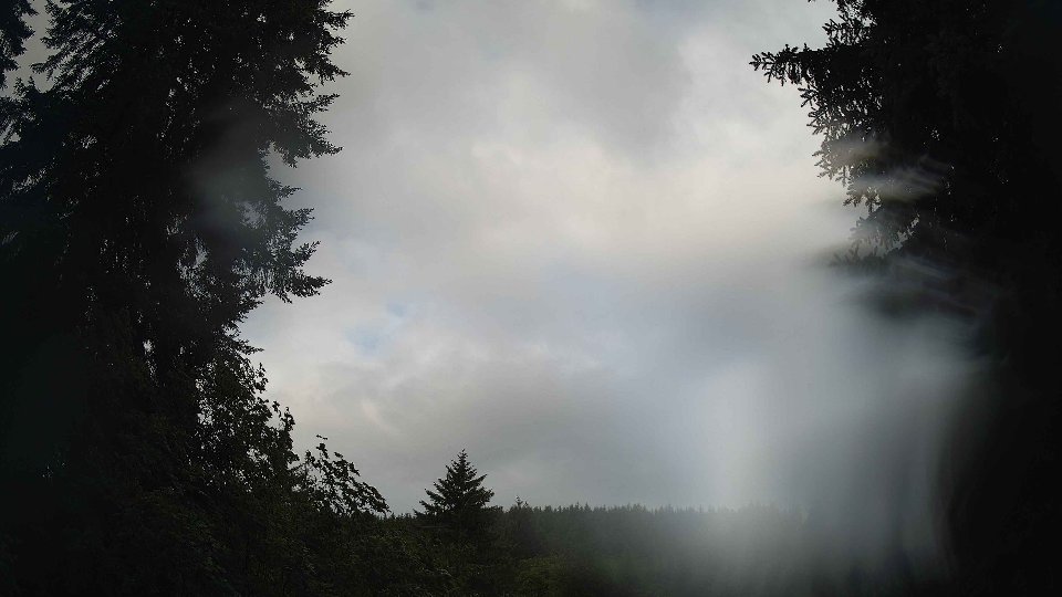
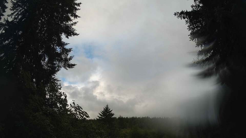
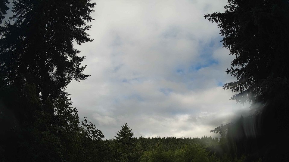
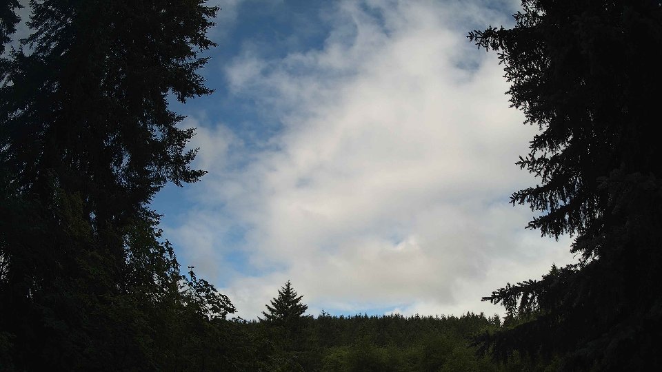
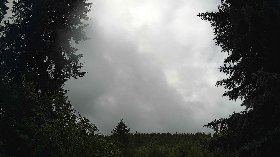
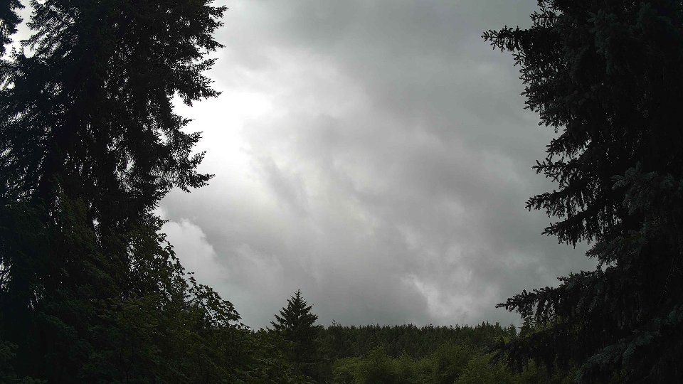
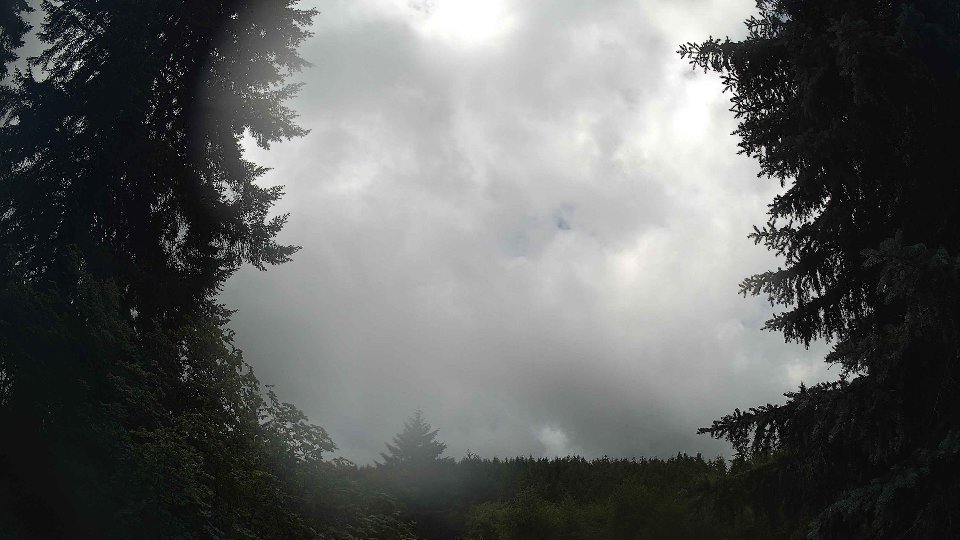
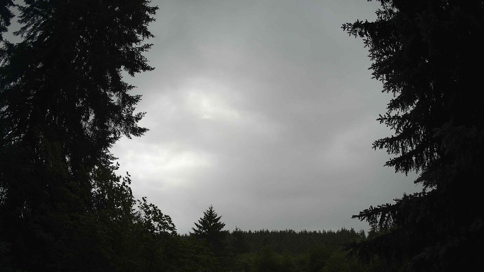
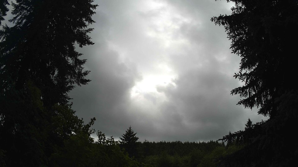
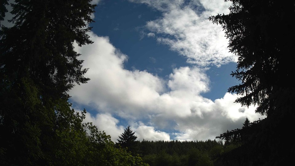
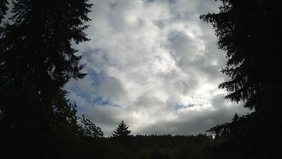
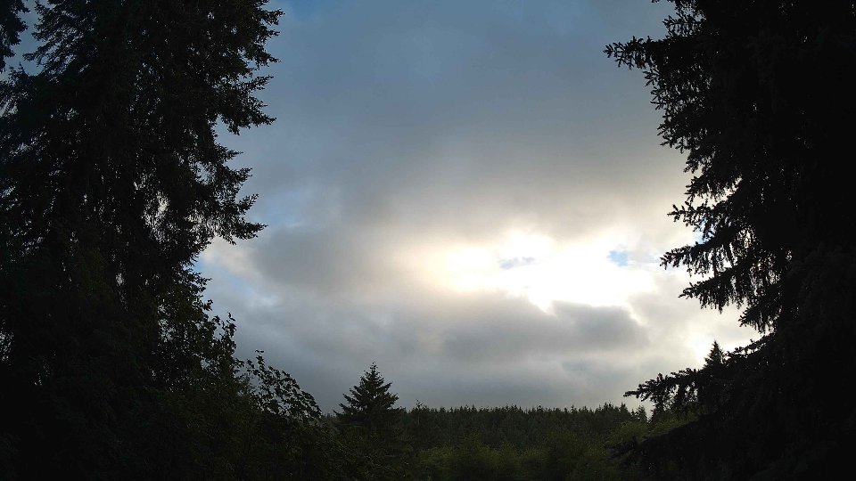
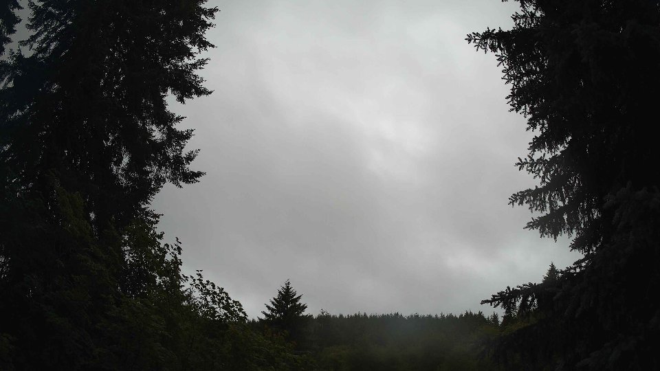
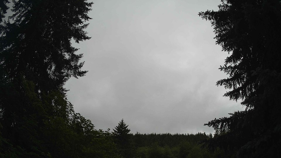
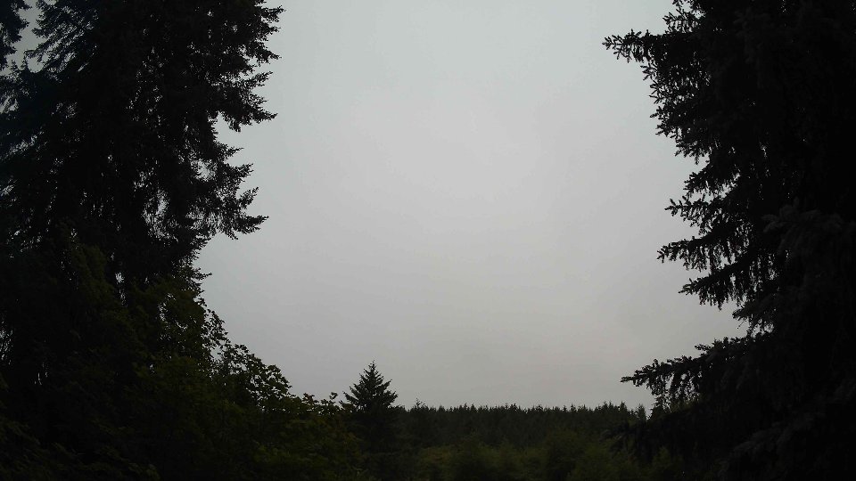
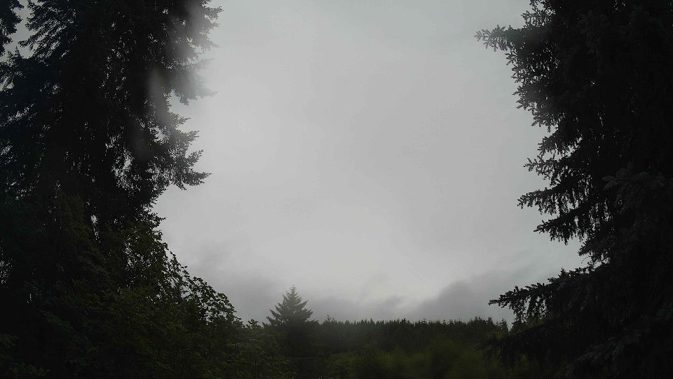
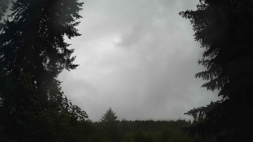
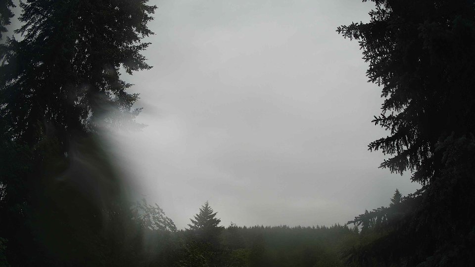
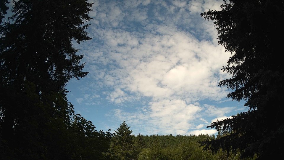
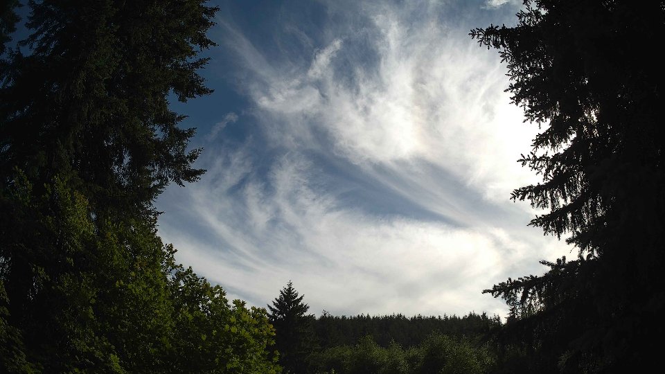
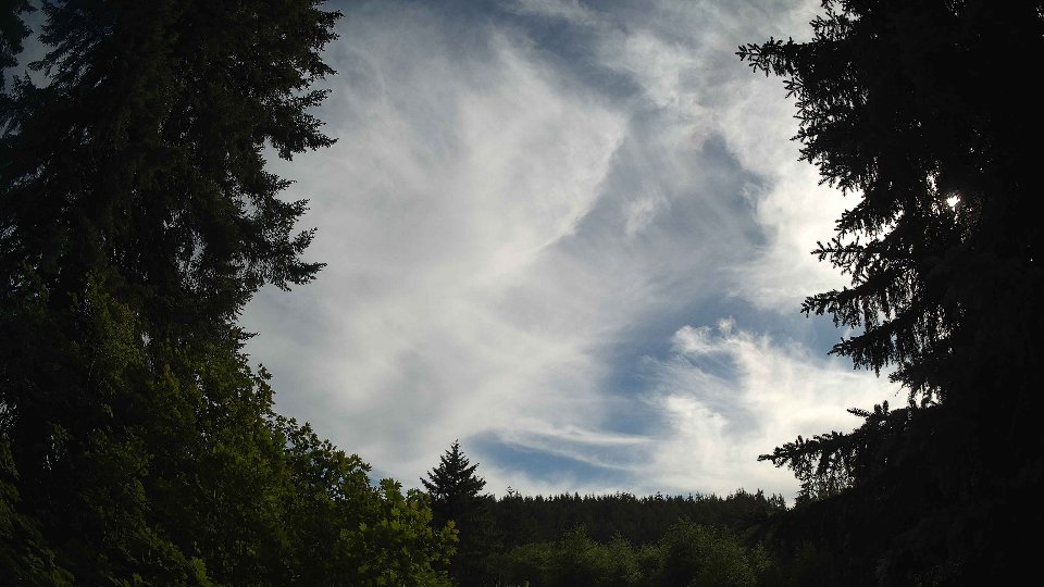
As midday approached, conditions began to evolve. The average temperature rose to 59.5°F, and surface winds increased to 6.7 mph, while winds at 100 meters picked up to 9.1 mph. The cloud cover began to shift slightly, with low clouds decreasing to about 33.2% and mid-level clouds slightly increasing to 41%. This subtle change suggested that the higher winds were effectively dispersing some of the low cloud layers, while still allowing for a dynamic interplay of clouds. The afternoon brought brief periods of light rain, accumulating to 0.10 inches, which added texture to the scene. The conflicting wind patterns between the surface and aloft levels continued to create turbulence, resulting in a mosaic of fast-moving clouds. The mid-level clouds surged ahead, driven by stronger upper-level winds, leaving gaps that allowed patches of blue sky to peek through.
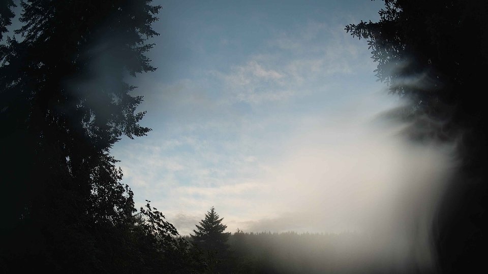
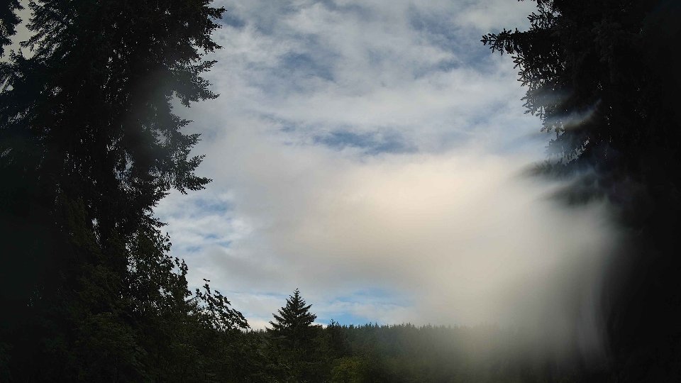
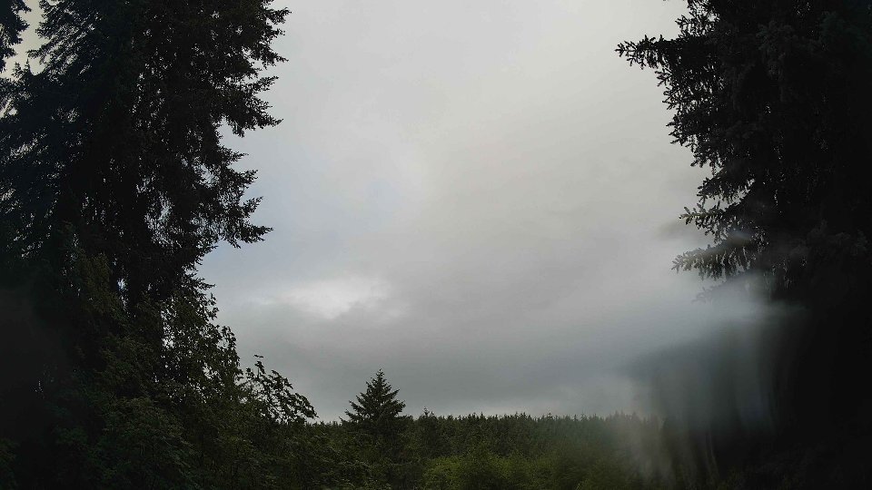
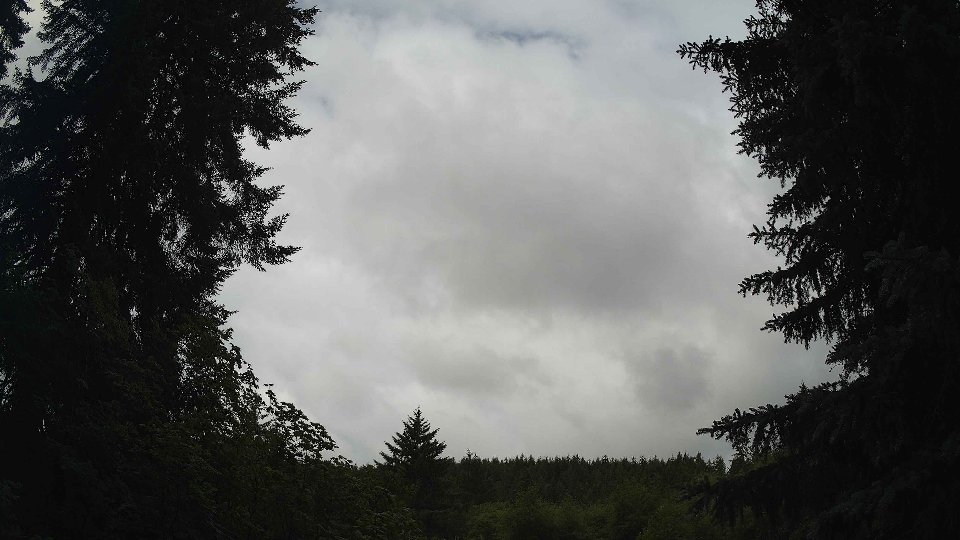
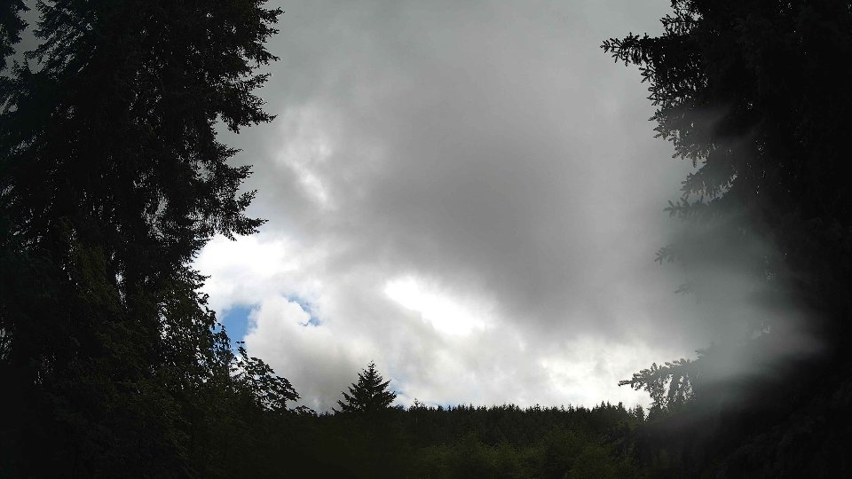
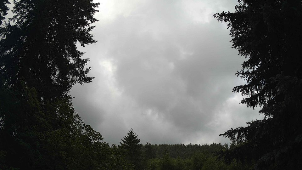
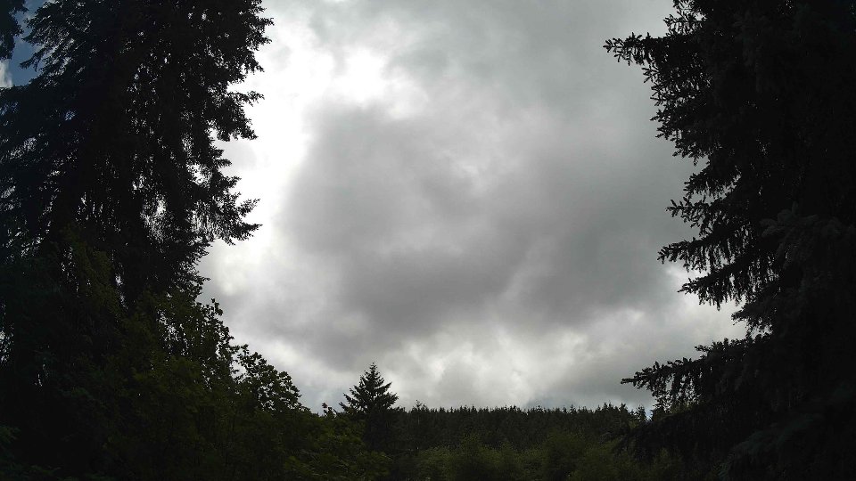
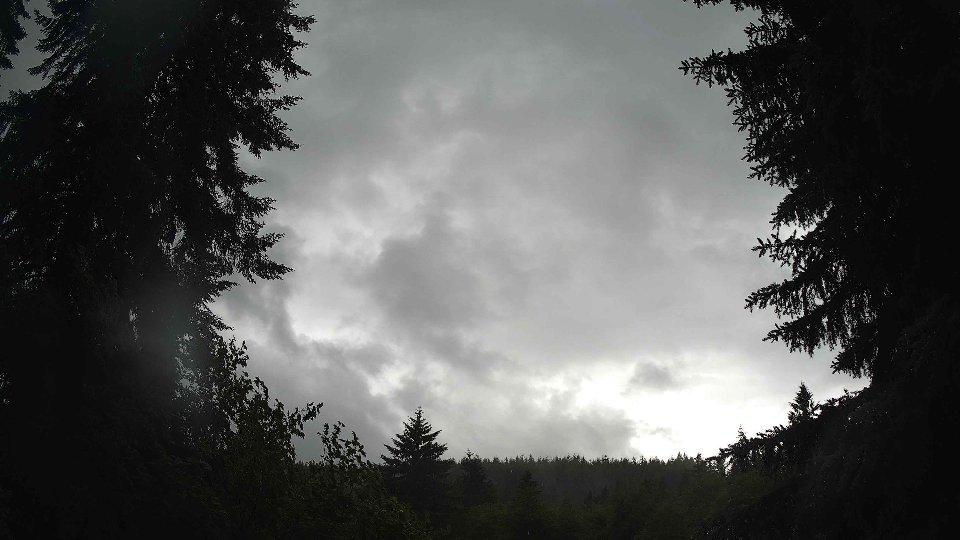
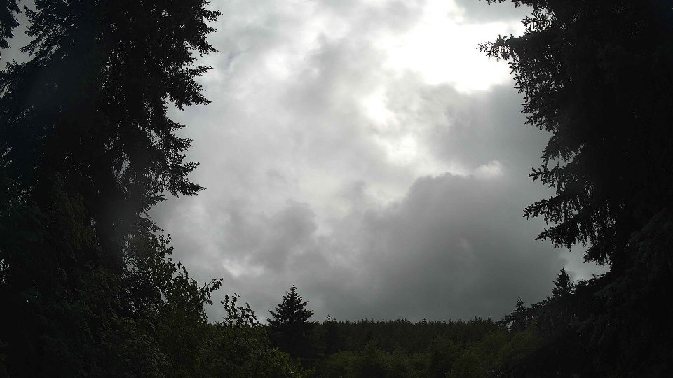
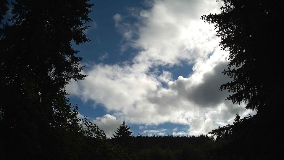
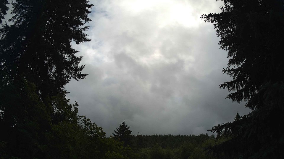
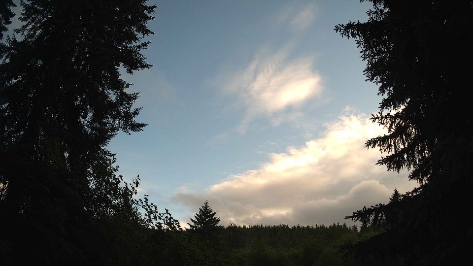
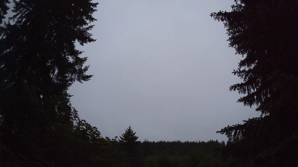
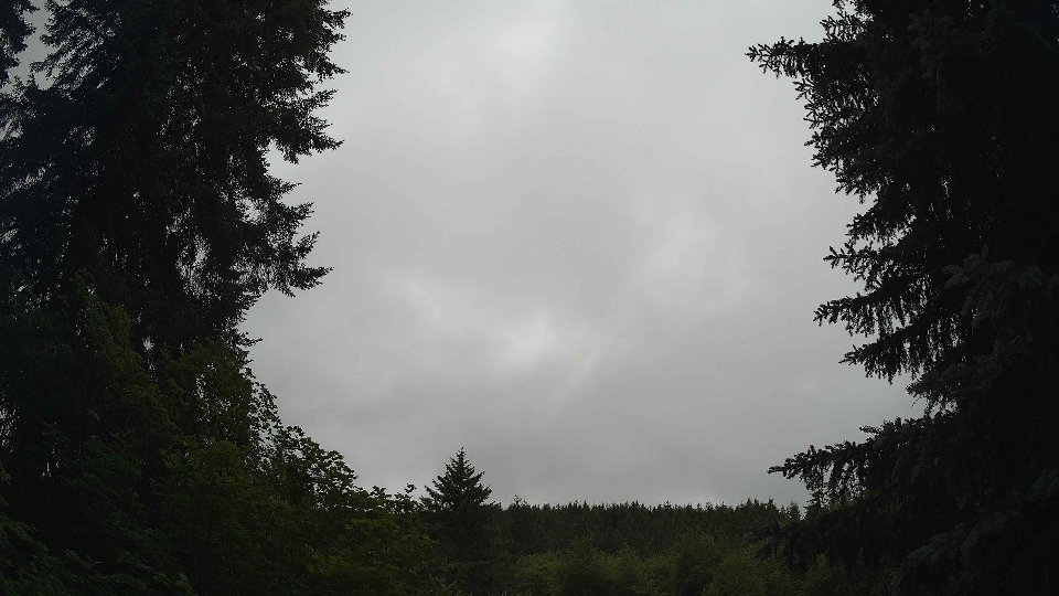
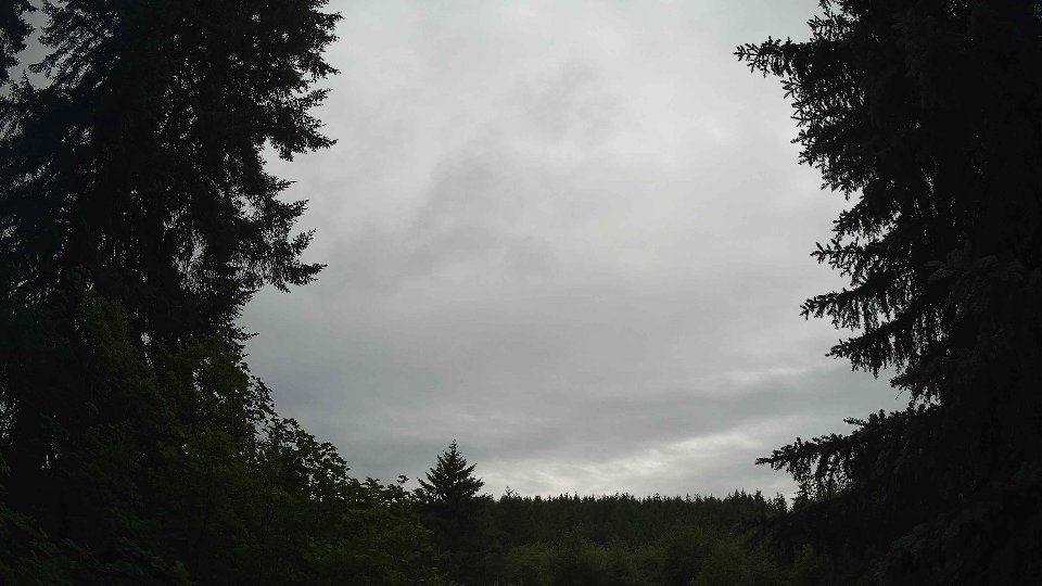
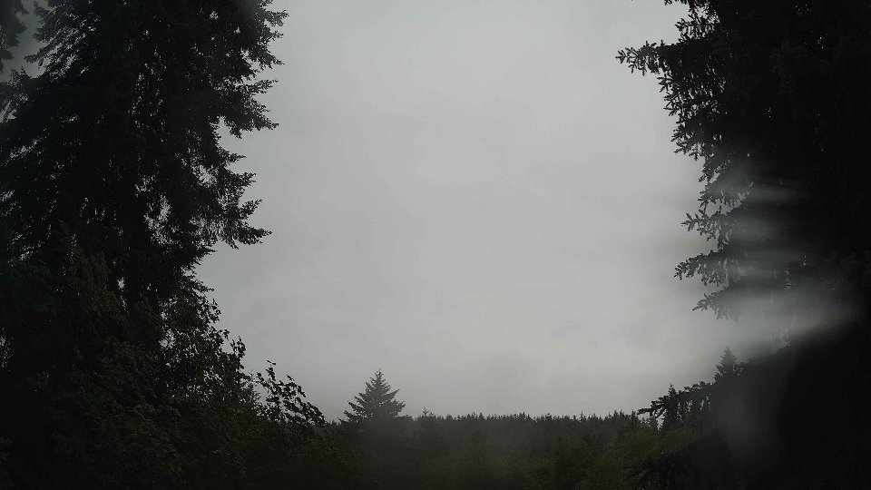
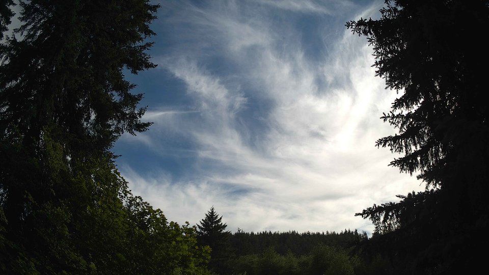
By evening, temperatures dipped slightly to an average of 57.9°F, while surface winds strengthened further to 10.1 mph and winds at 100 meters surged to 15.1 mph. The cloud cover transformed dramatically, with low clouds retreating to just 10.2%, mid-level clouds at 25.2%, and a surprising rise in high clouds to 17.5%. This shift in cloud composition created layered effects in the sky, with the upper layers streaming swiftly across the horizon, driven by the strong upper winds. The enhanced wind shear between the surface and aloft layers continued to introduce turbulence, causing the clouds to swirl and dance in a captivating display. As the evening wore on, precipitation added another 0.11 inches, bringing the total for the day to 0.24 inches. The combination of stronger winds and varied cloud heights painted a dynamic picture of the sky, wrapping up a day of evolving weather patterns in a beautiful, if somewhat chaotic, display of nature.
June 27th, 2026 Timeline
Screenshots with weather data (wind layers, clouds, precipitation)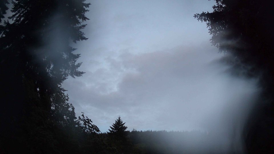


Weather Info for June 27th, 2026
Sunset: 9:07 PM