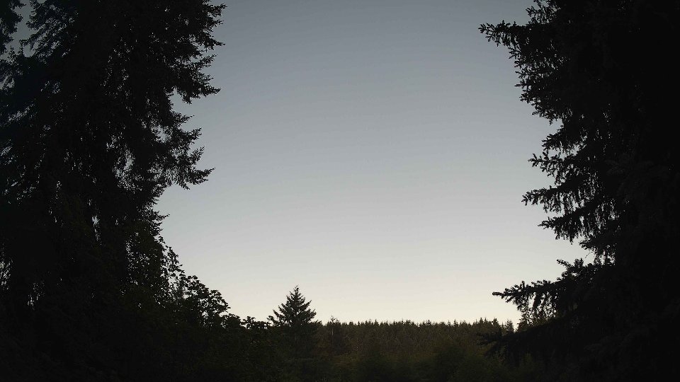
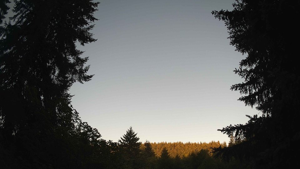
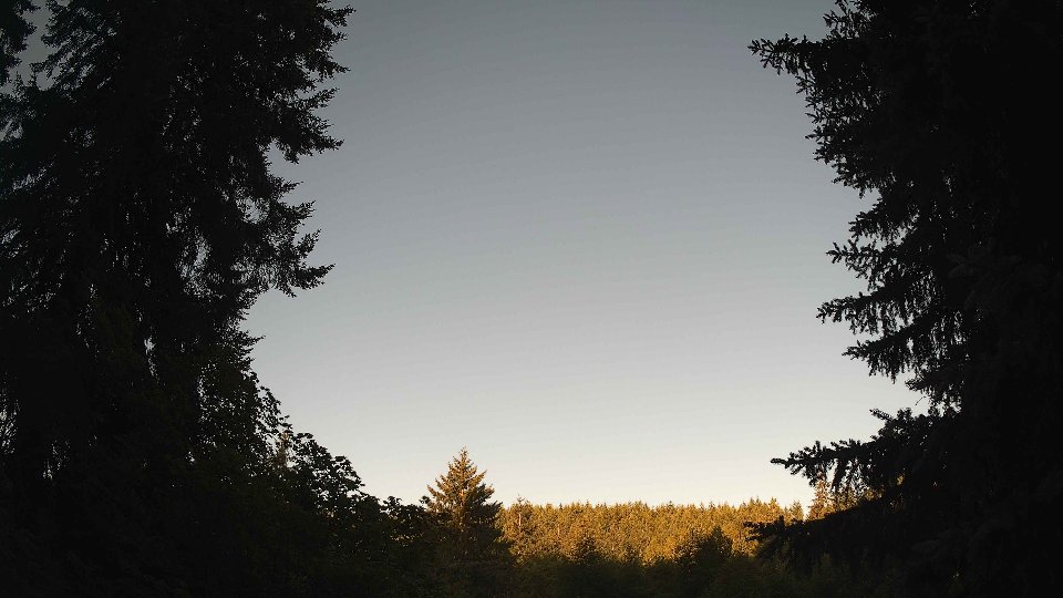
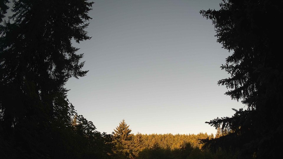
July 26th, 2026 Timelapse
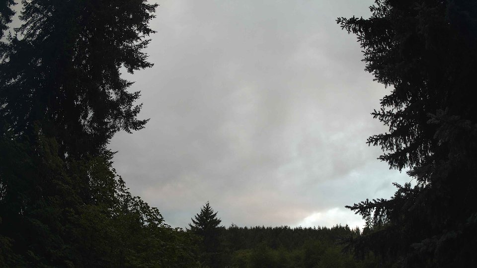
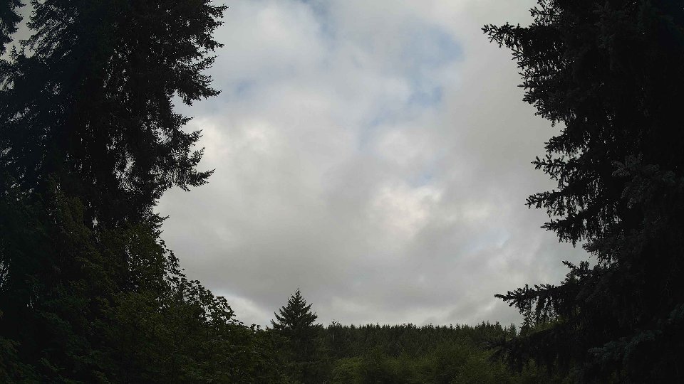
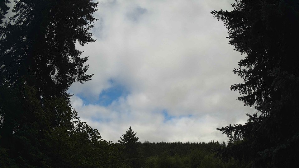
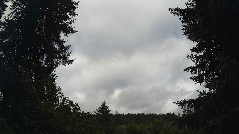
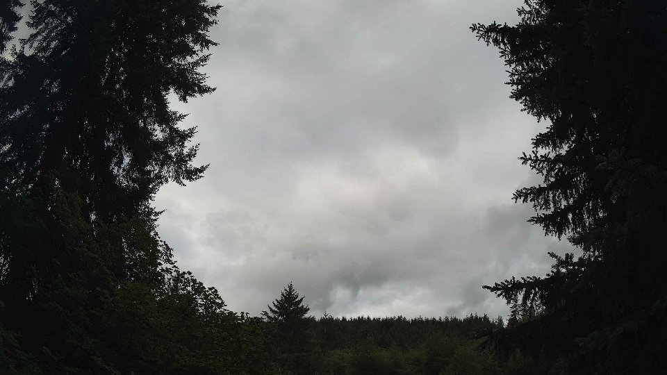
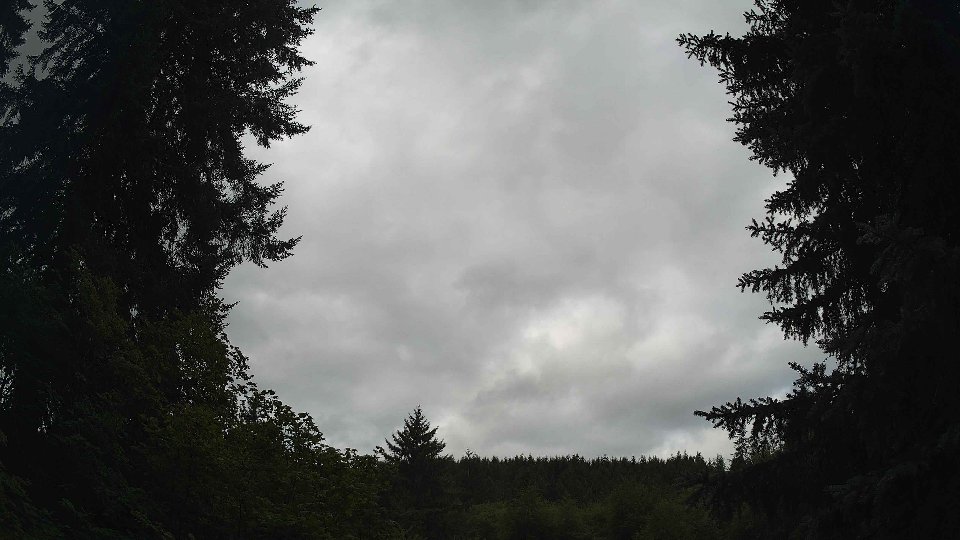
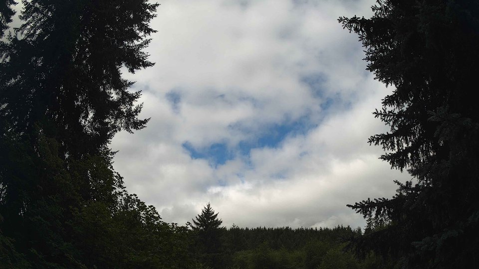
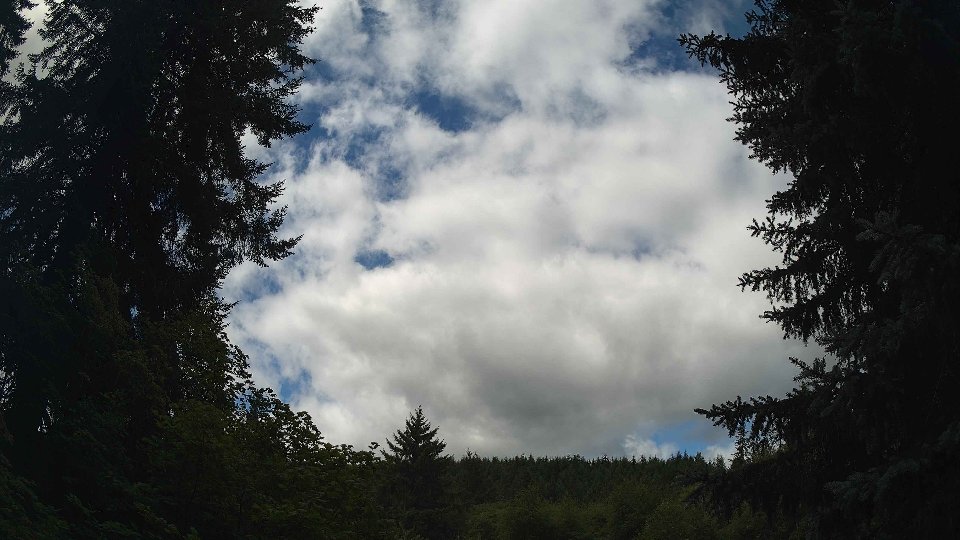
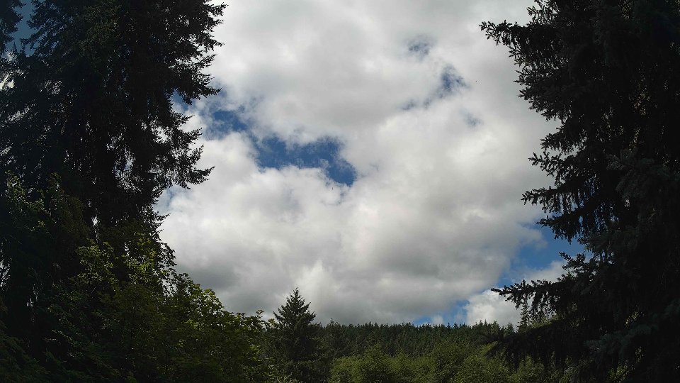
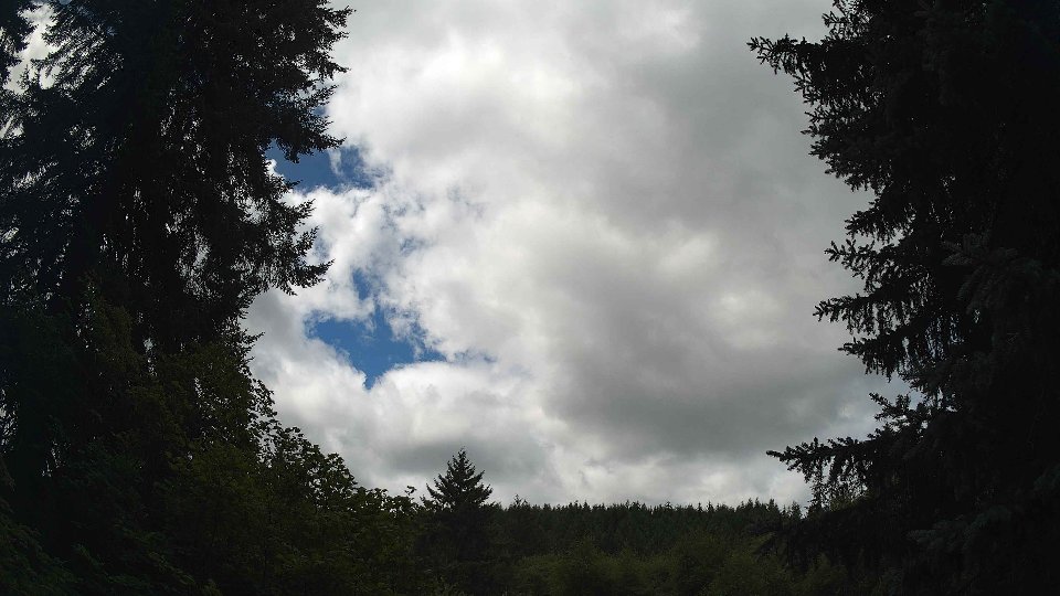
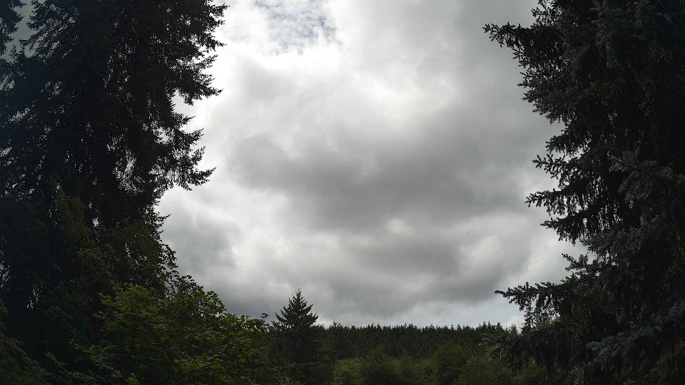
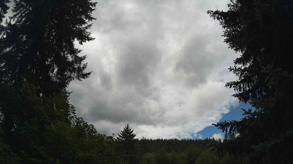
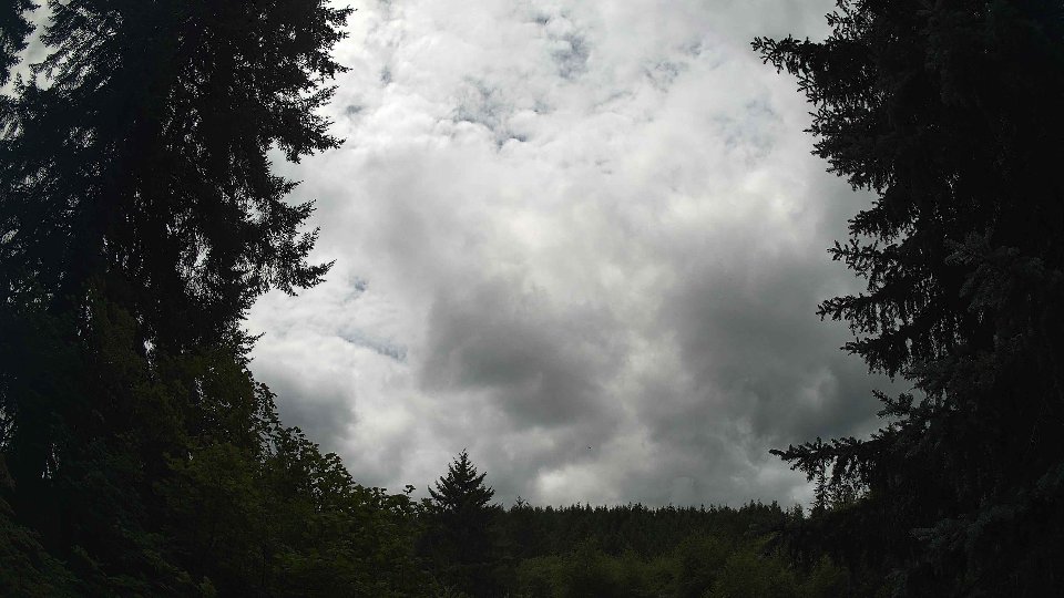
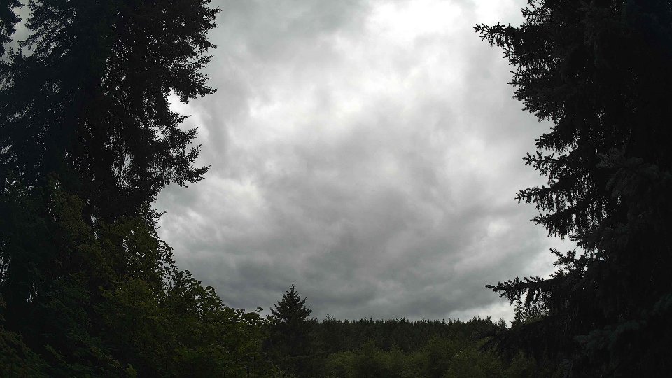
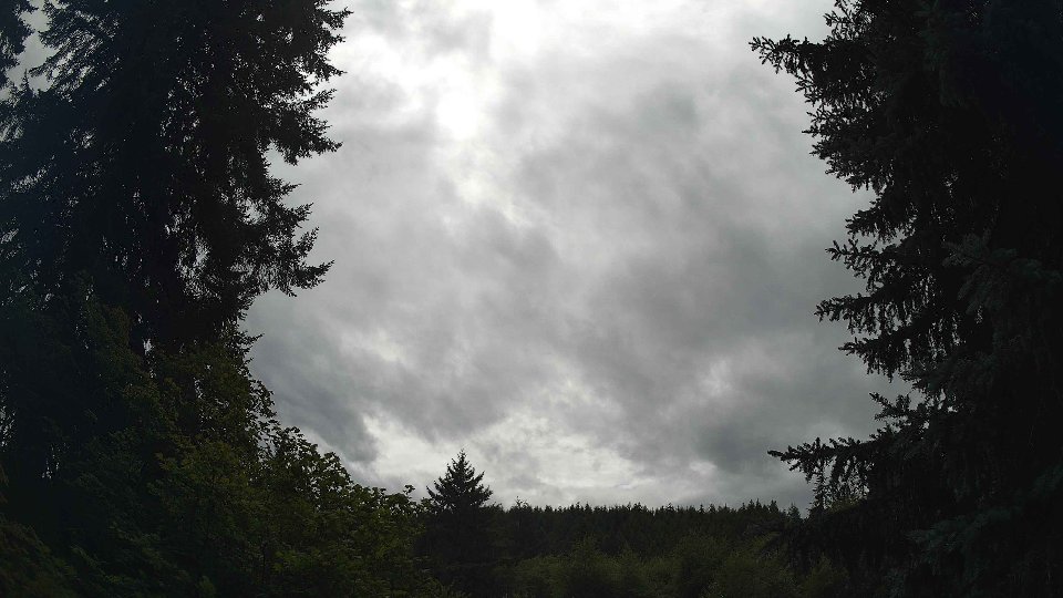
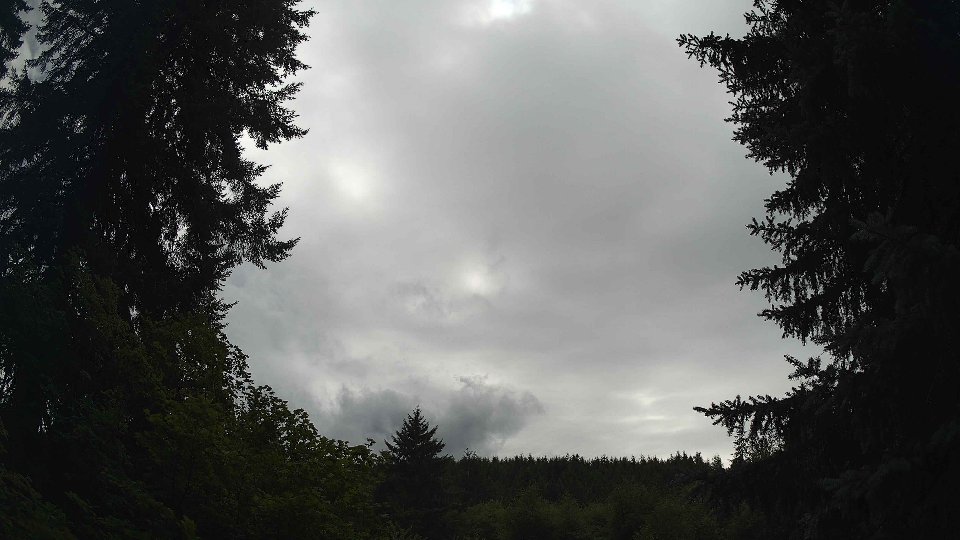
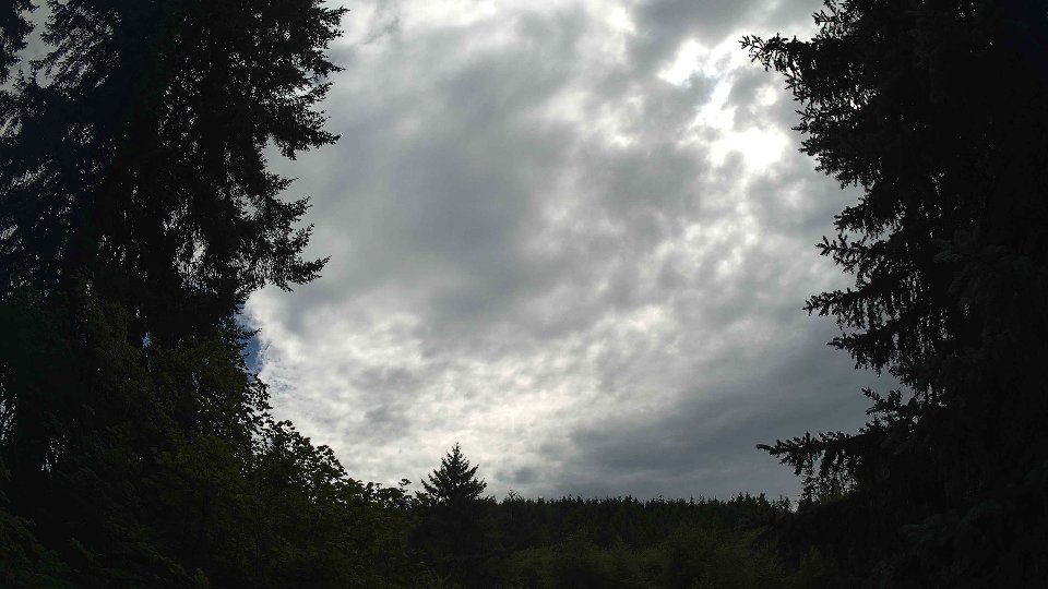
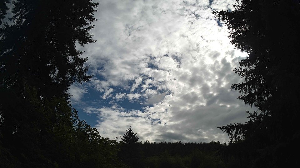
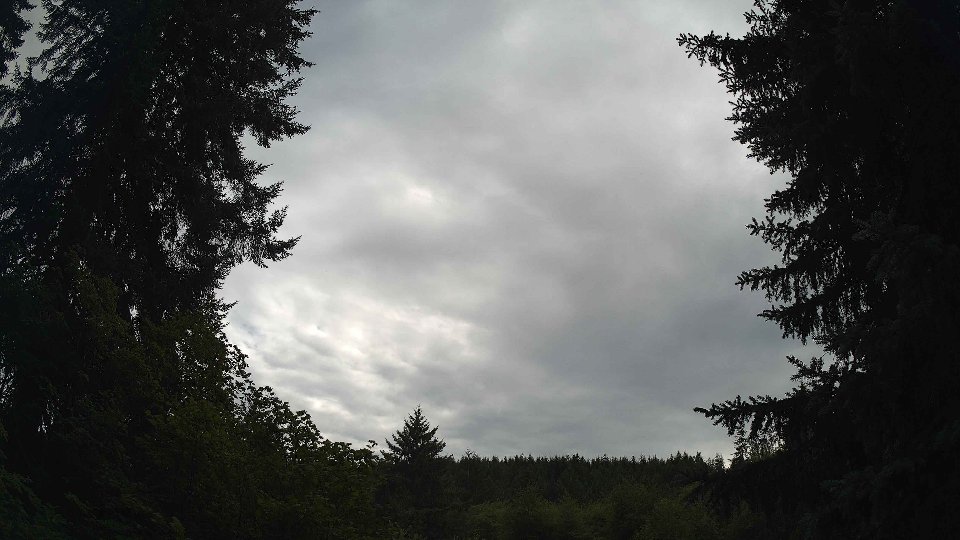
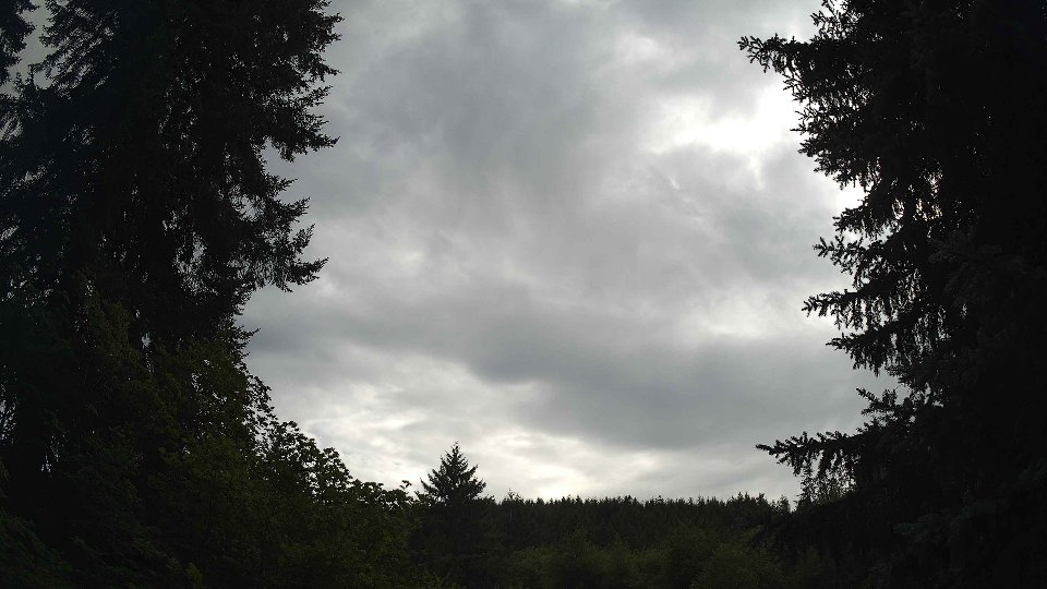
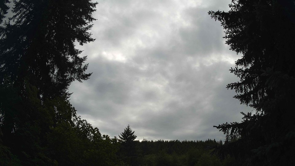
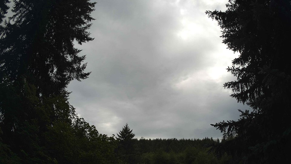
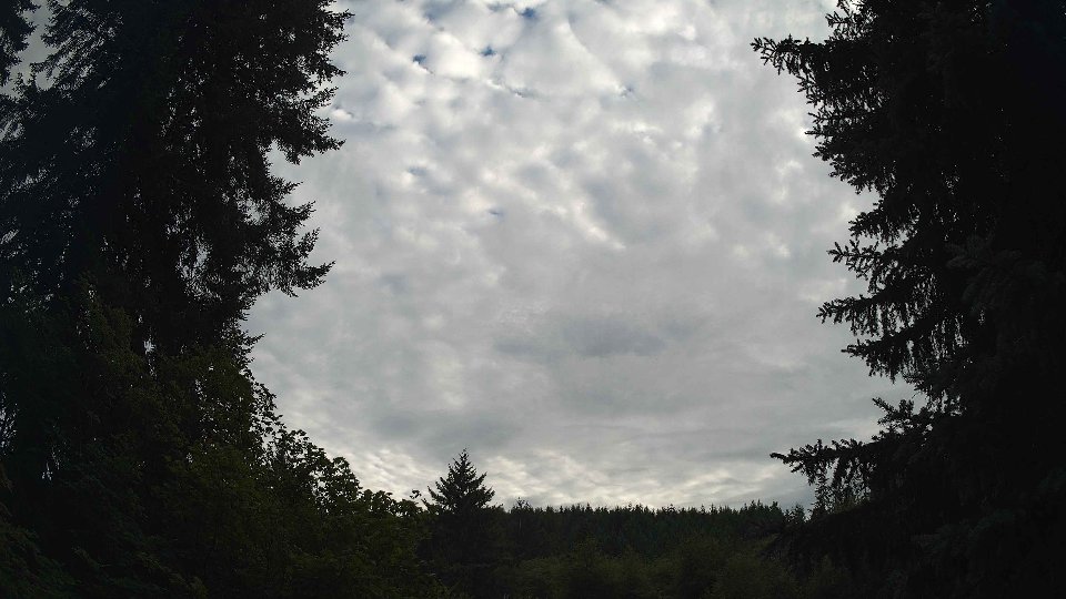
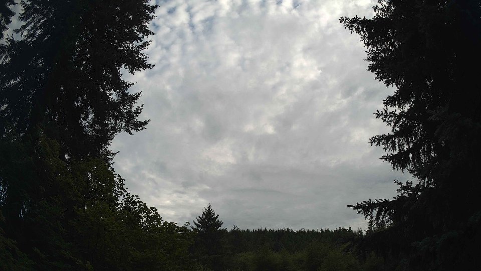
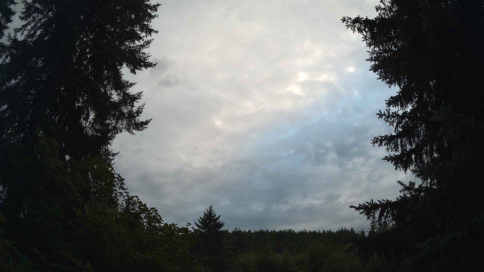
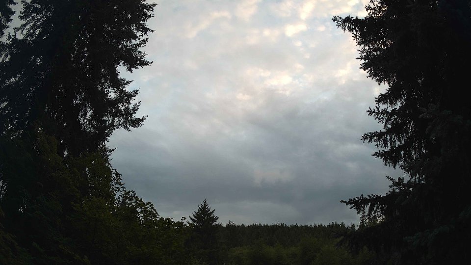
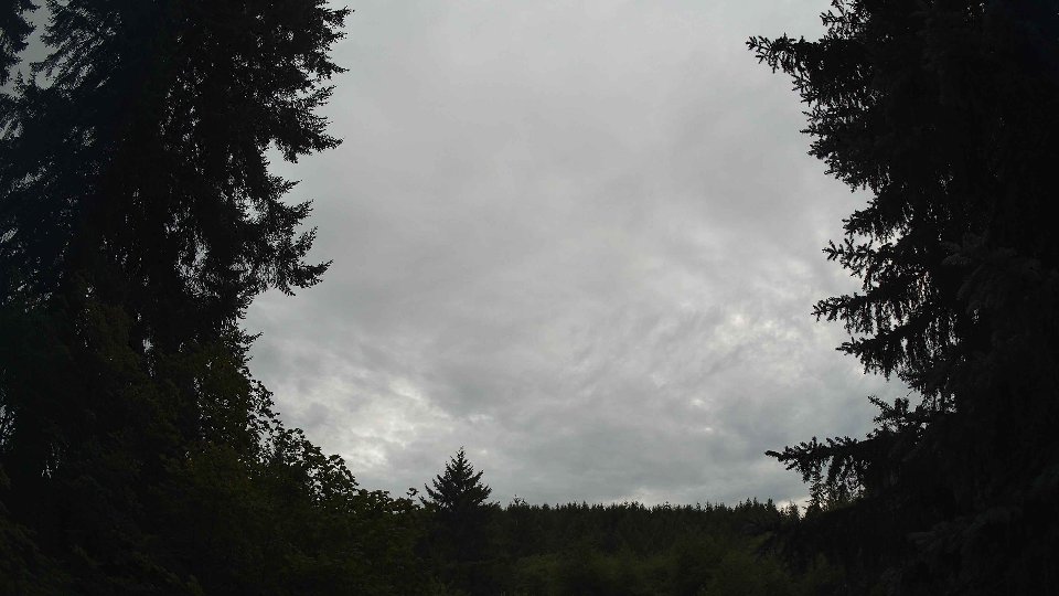
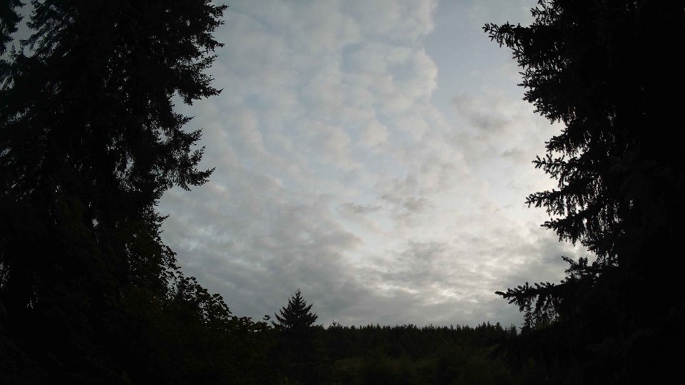
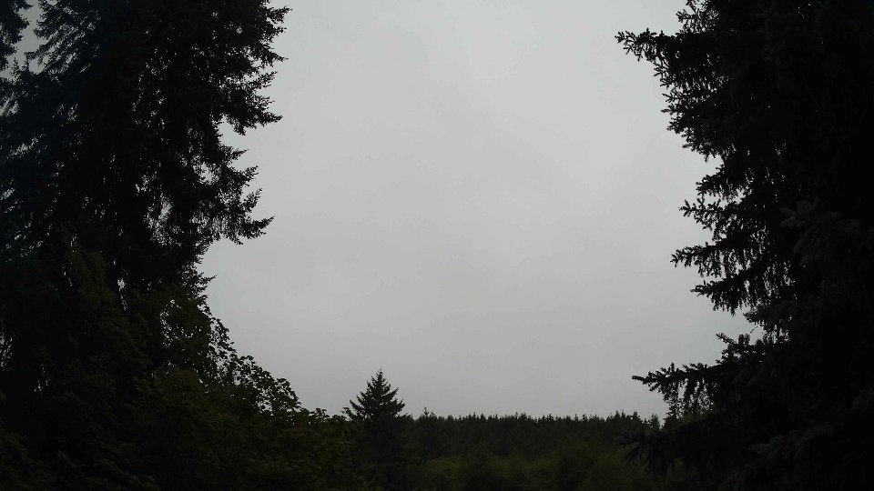
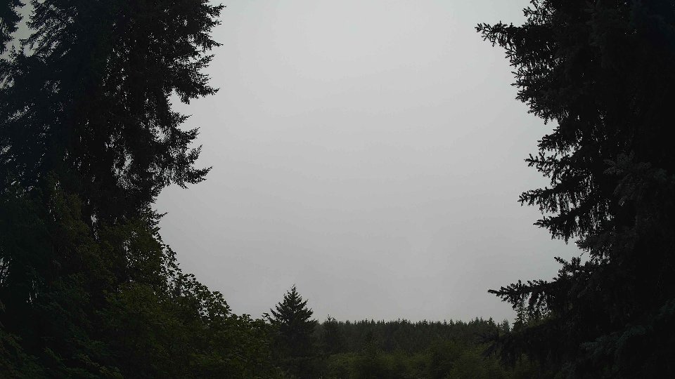
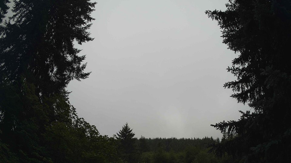
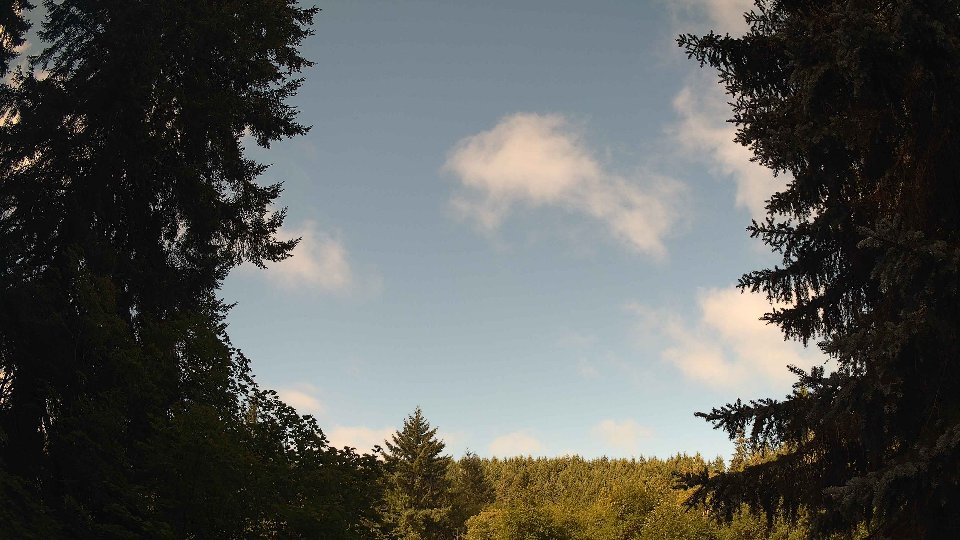
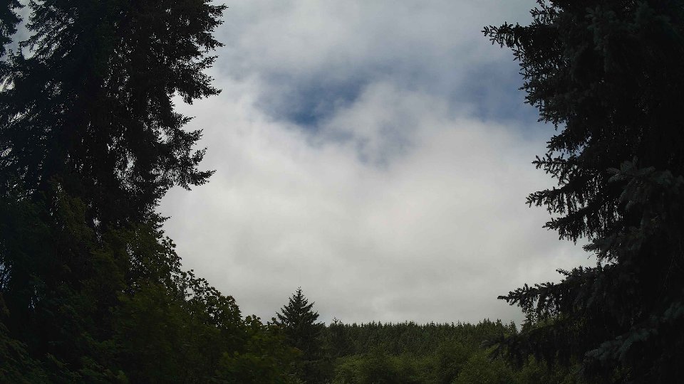
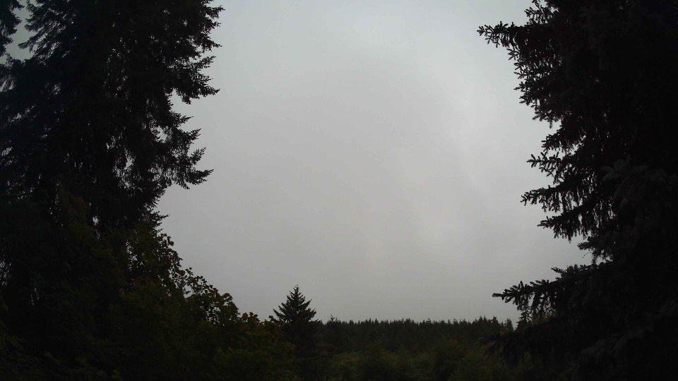
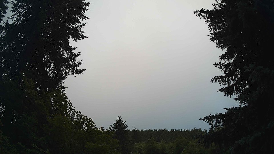
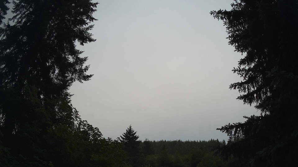
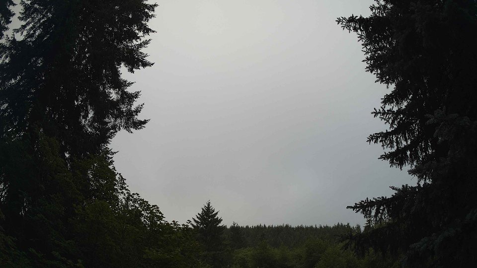
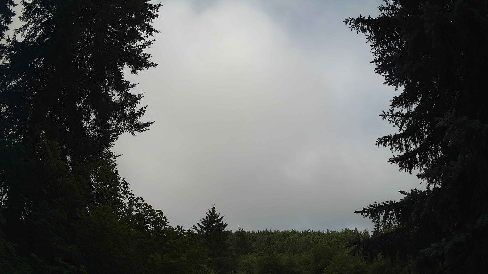
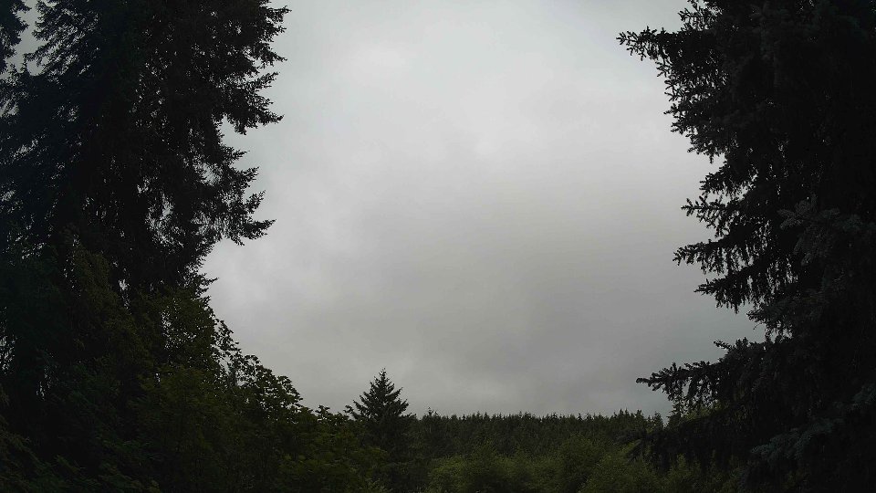
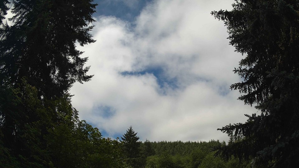
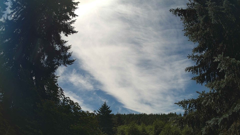
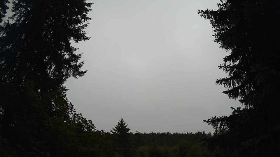
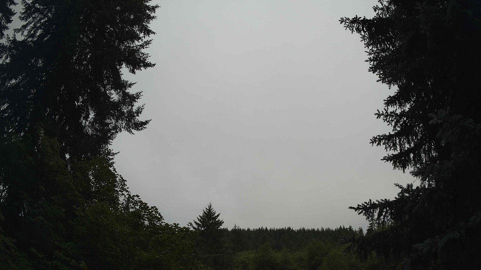
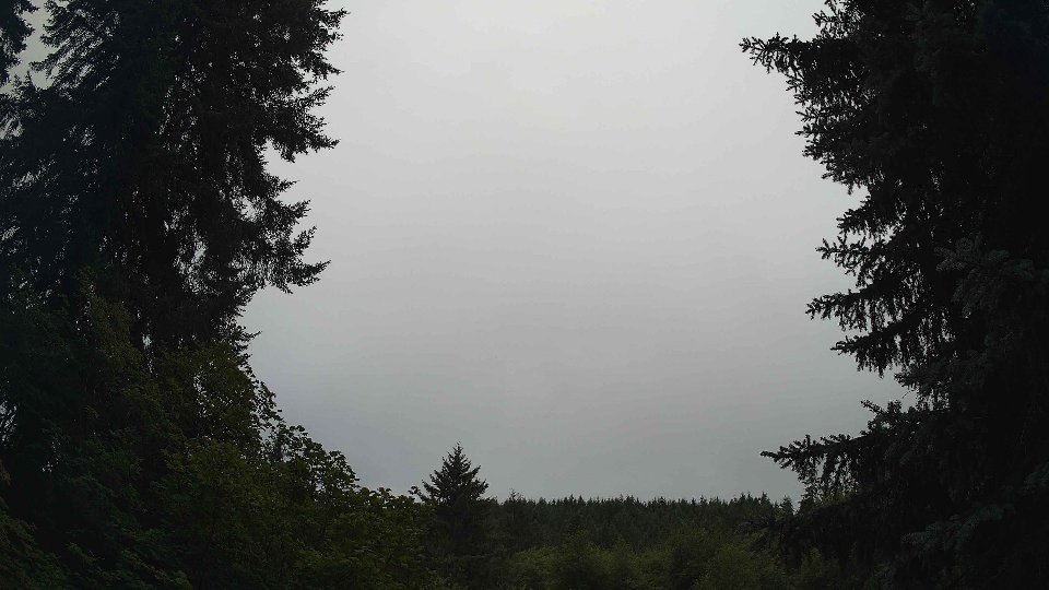
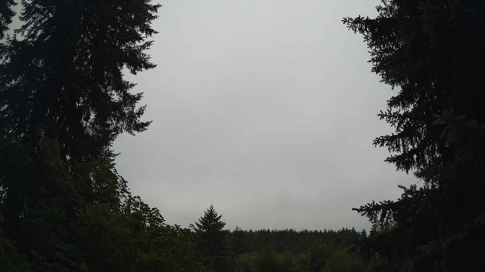
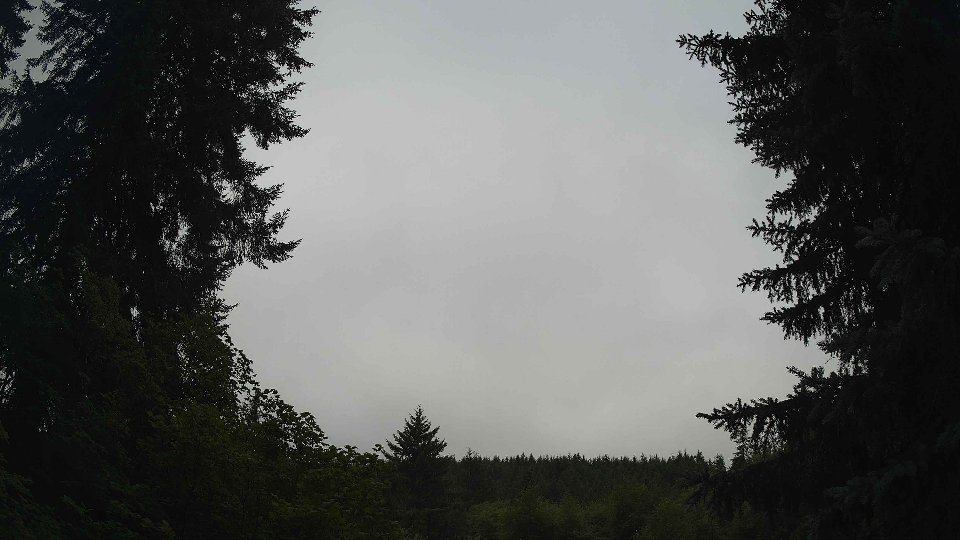
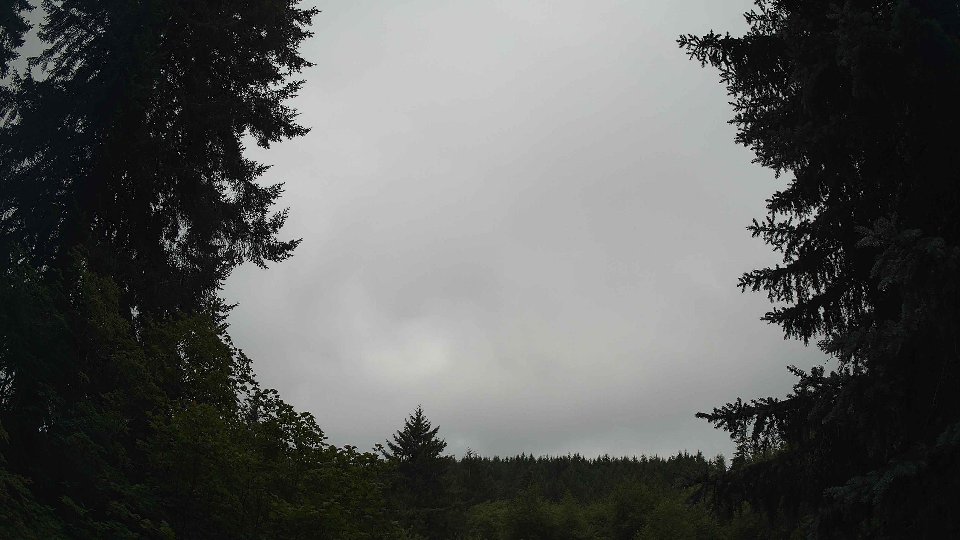
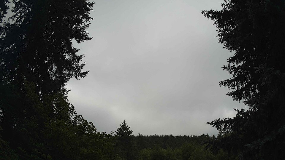
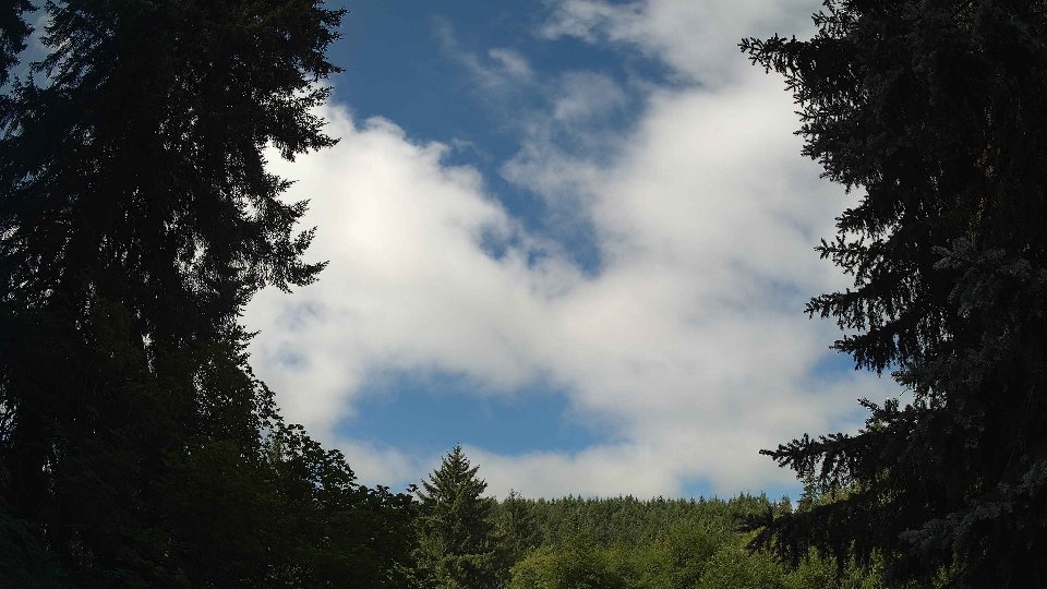
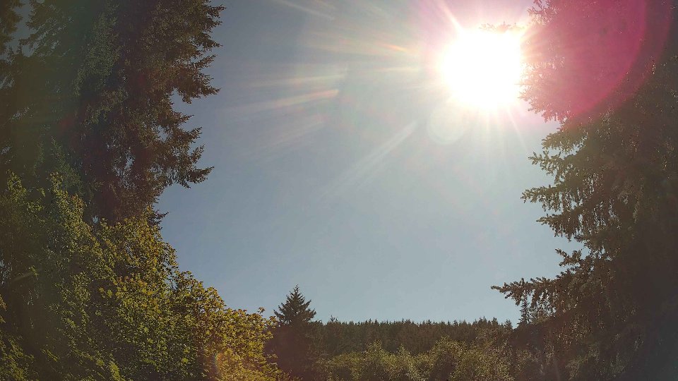
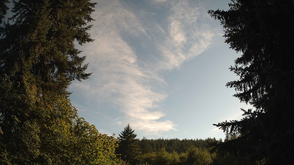
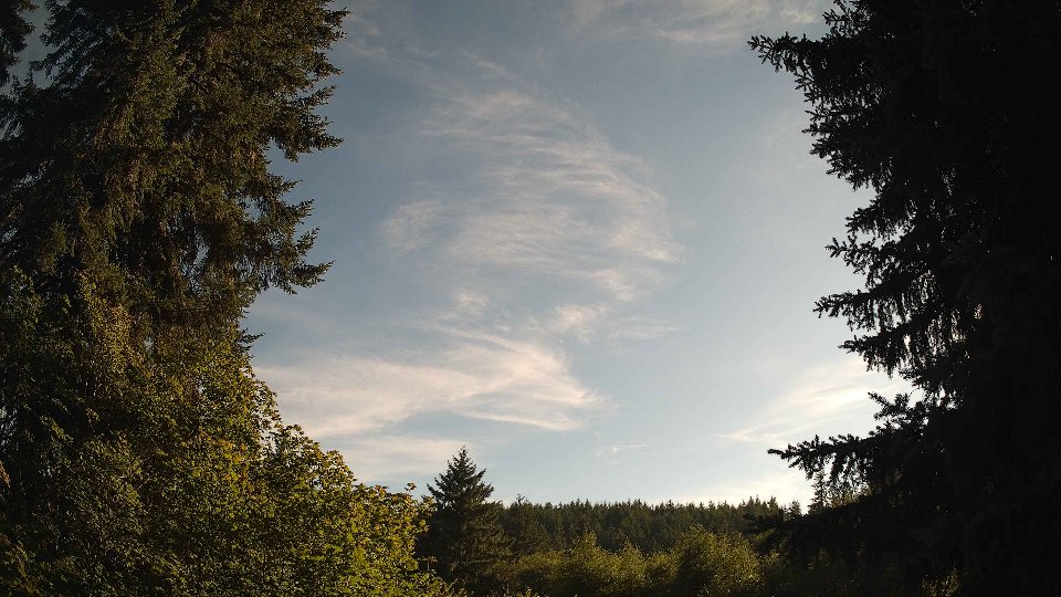
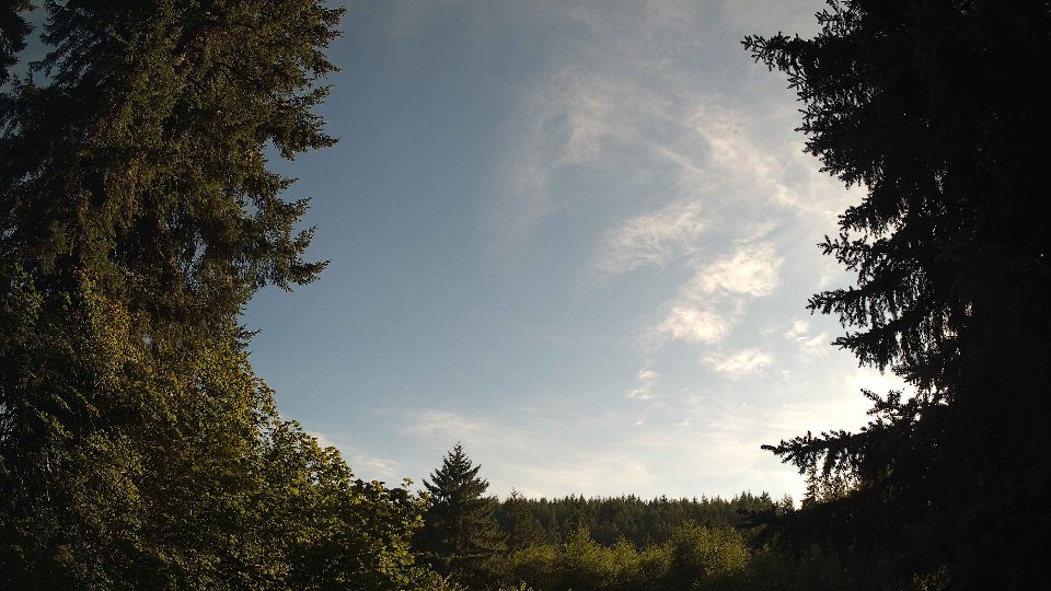
On July 26th, the day began with a gentle atmosphere marked by a prevailing cloud cover that enveloped the sky. The surface winds were light, averaging just 2.3 mph, while winds at 100 meters above ground level were slightly stronger at 4.1 mph. With an impressive 78.4% of the sky covered by low clouds, the morning had a cozy overcast feel, hinting at the potential for a damp day ahead. A trace of precipitation, measuring 0.01 inches, suggested that the moisture in the atmosphere was ready to release, should the conditions align perfectly. The gentle breeze at the surface contrasted with the slightly more robust upper-level winds, creating a mild turbulence as they interacted. This subtle conflict between the calm surface winds and the more vigorous winds aloft hinted at interesting cloud dynamics, as the low cloud deck began to move slowly, driven by the higher-layer winds.
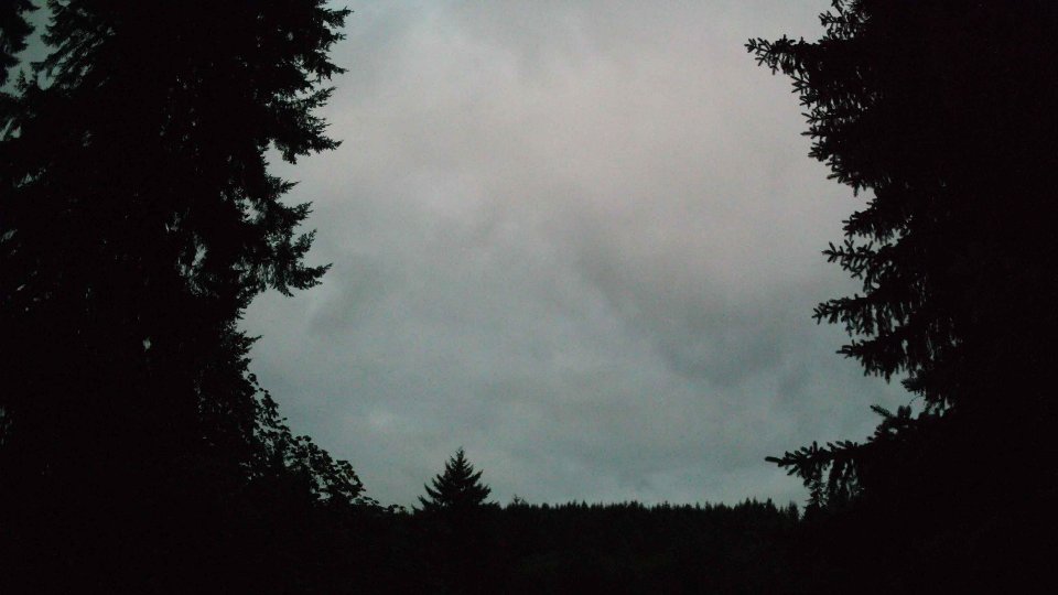
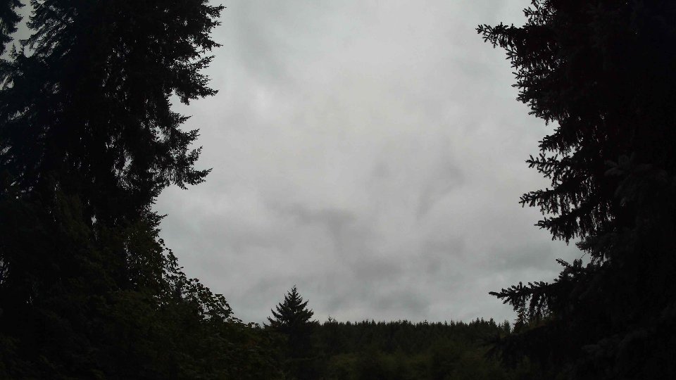
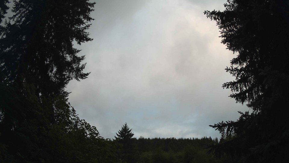
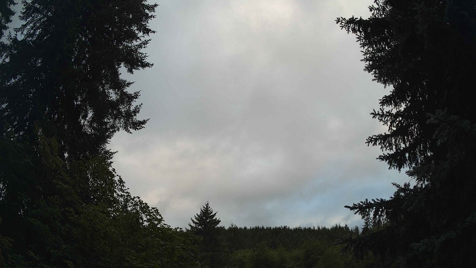
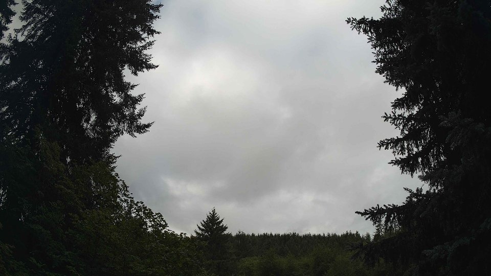
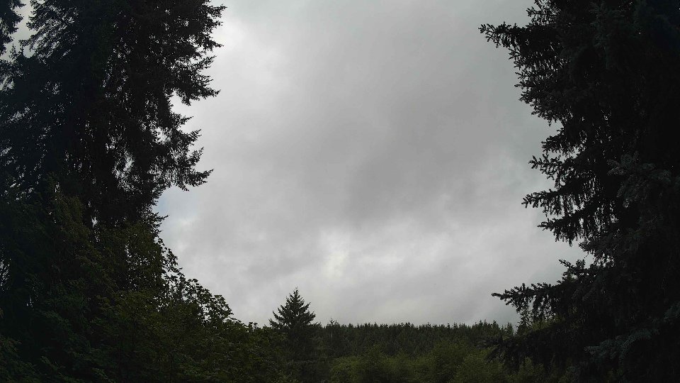
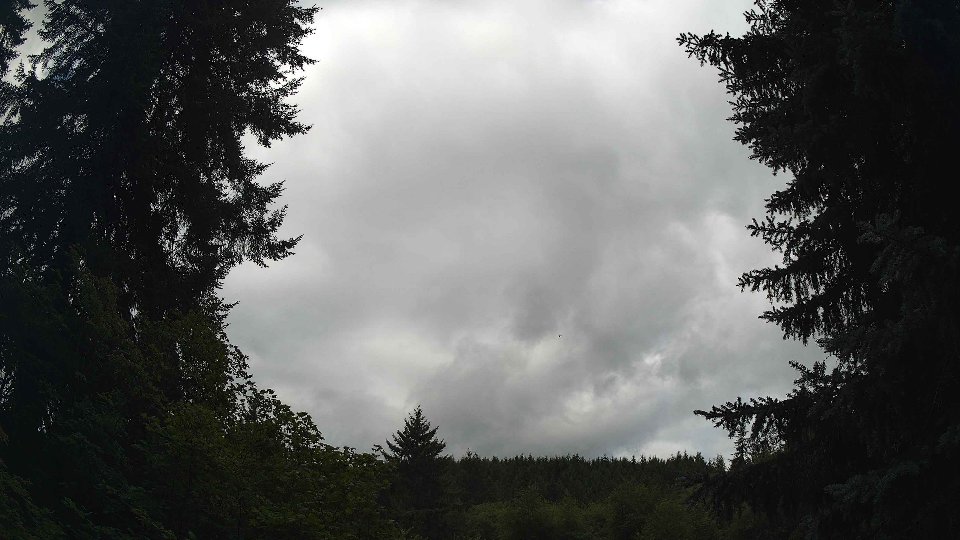
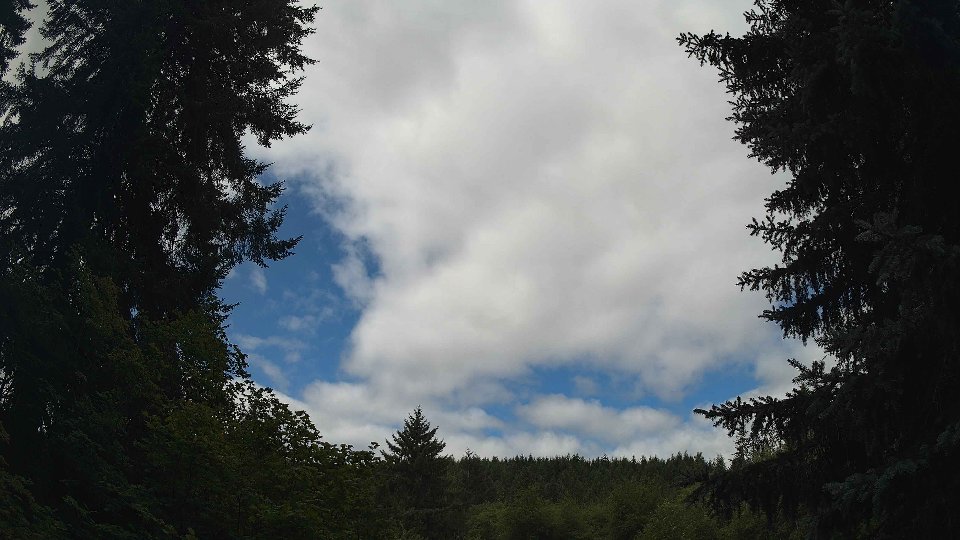
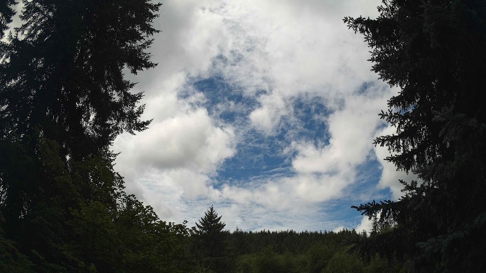
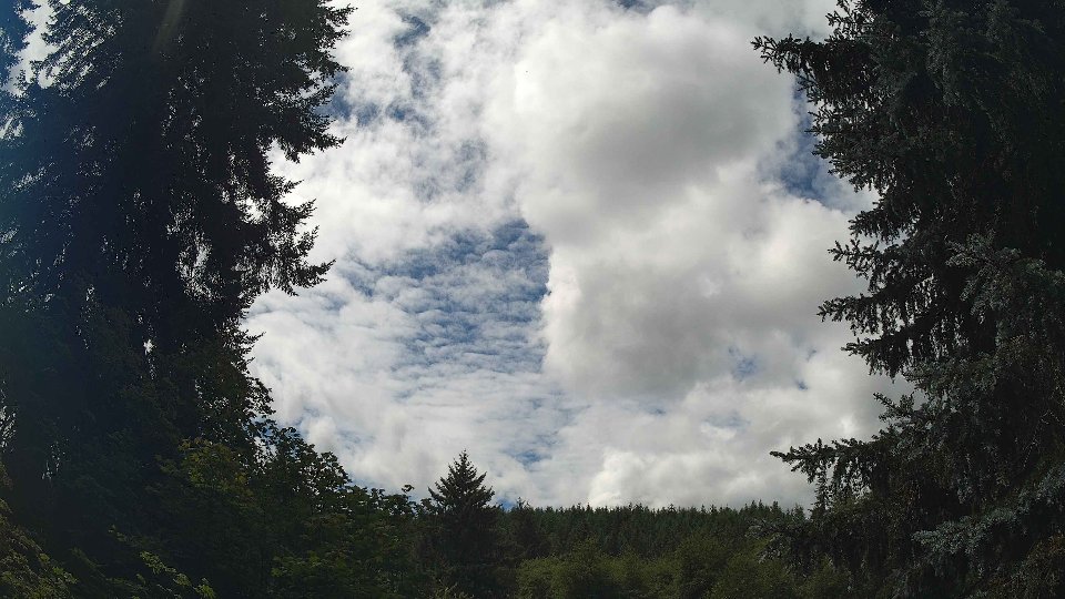
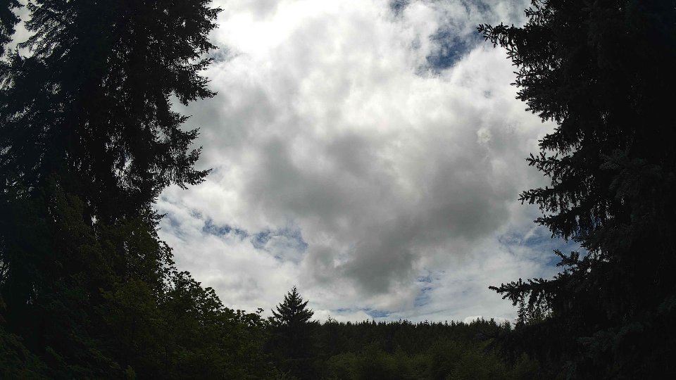
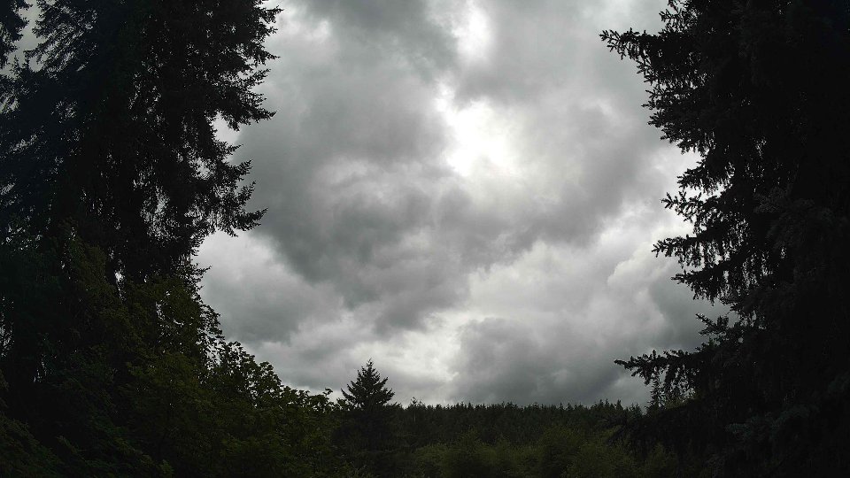
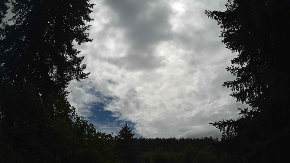
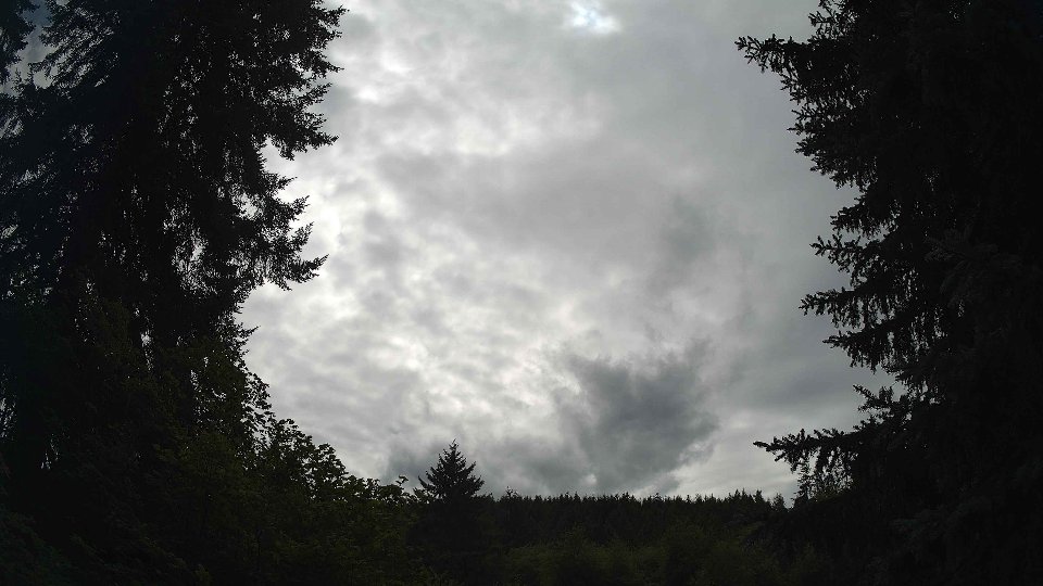
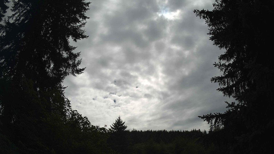
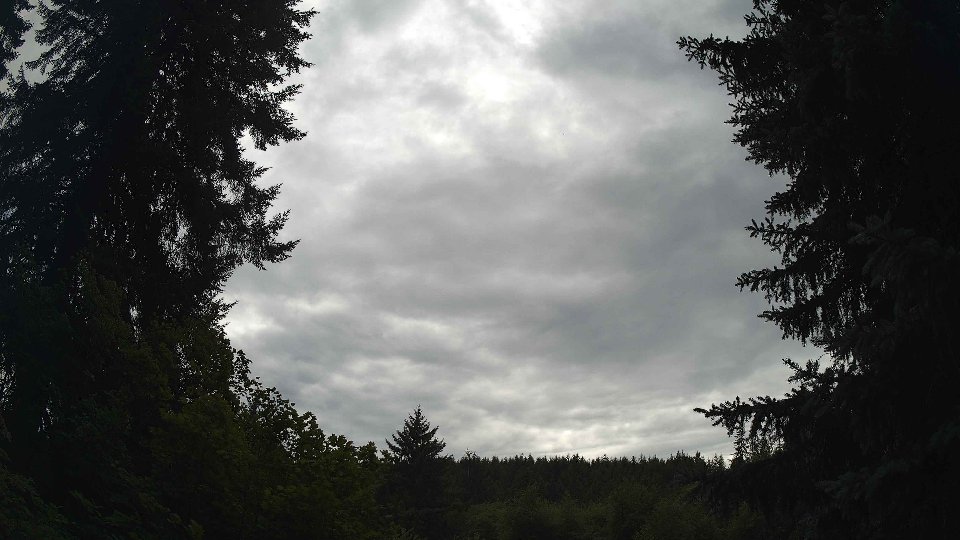
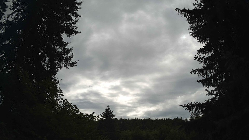
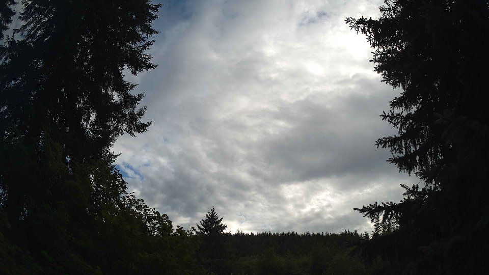
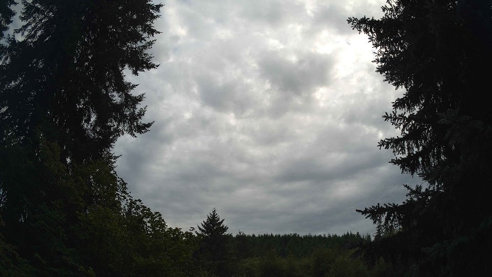
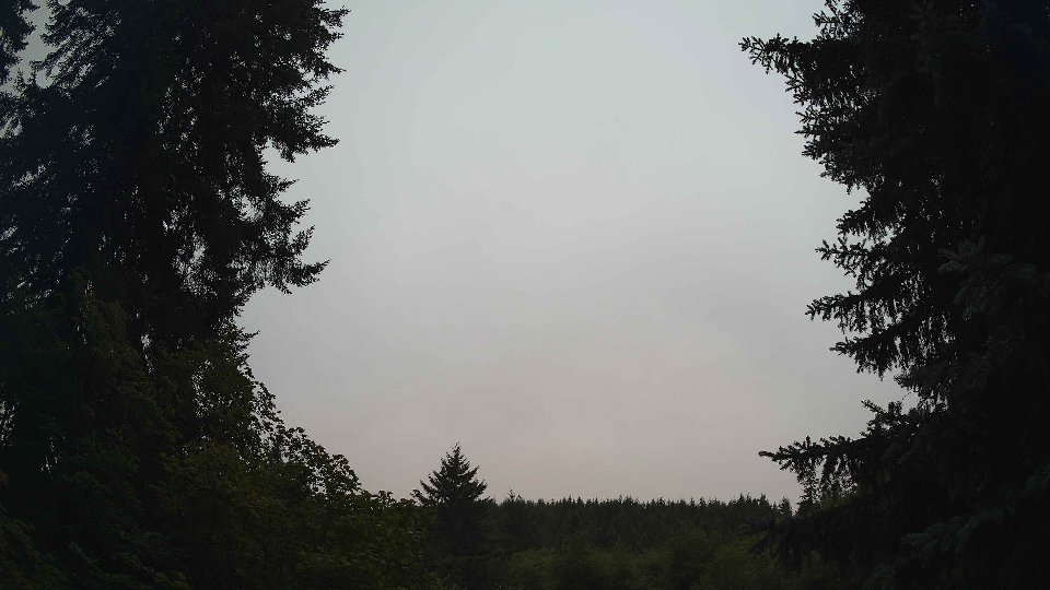
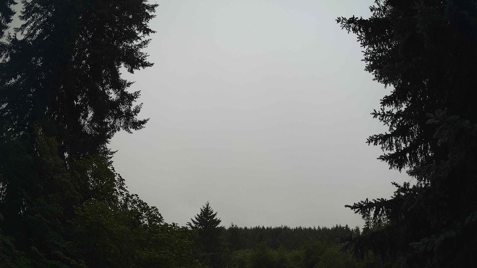
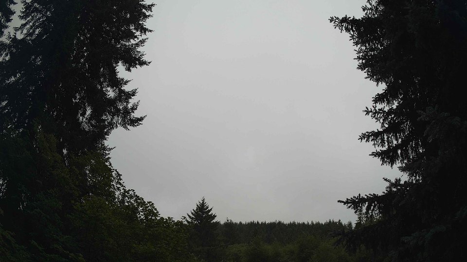
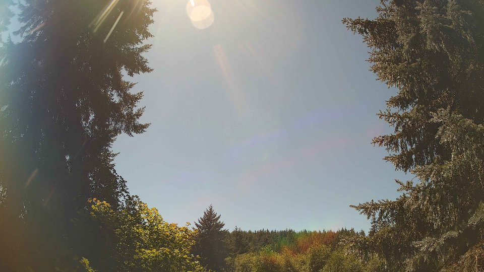
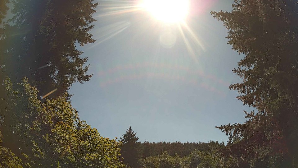
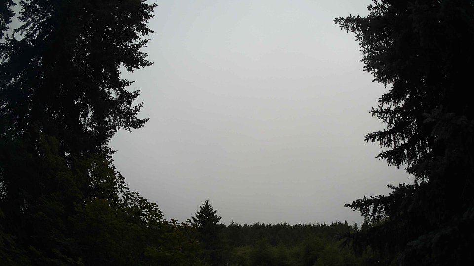
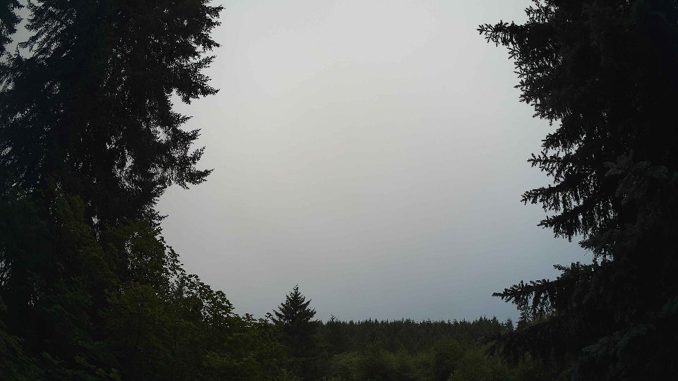
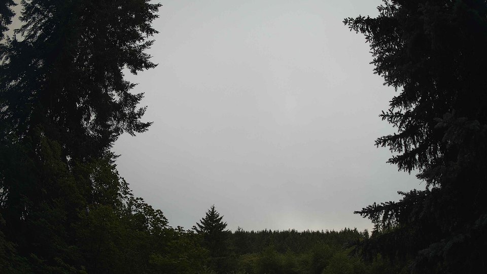
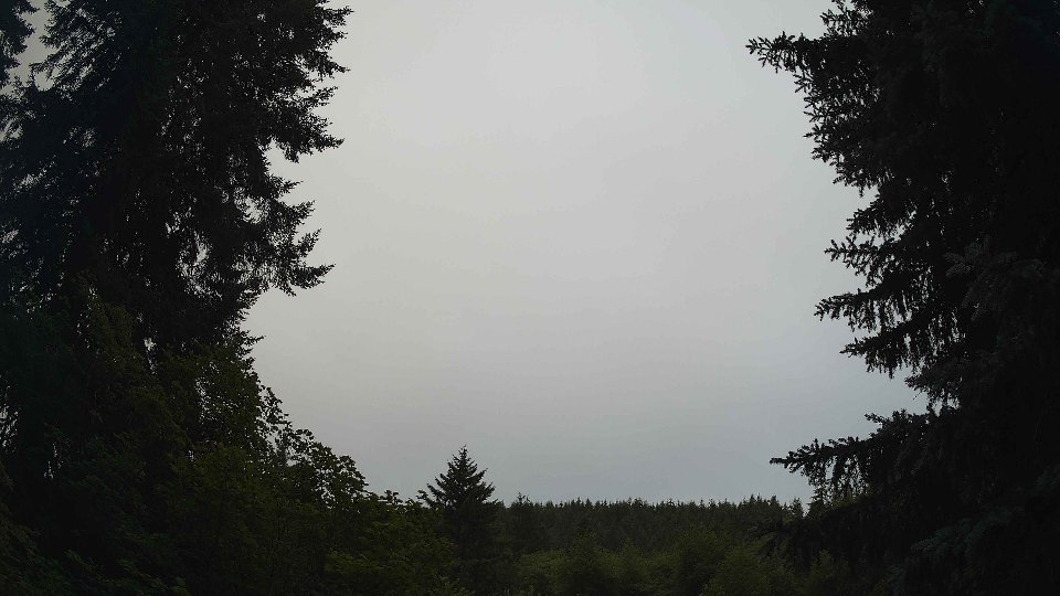
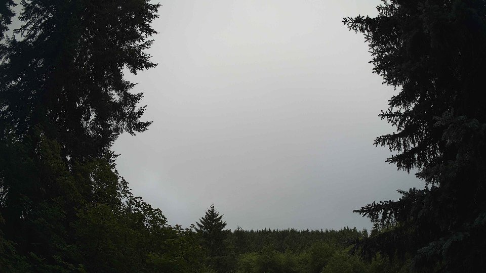
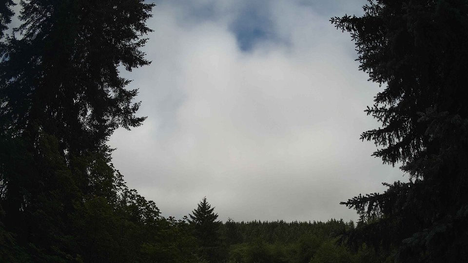
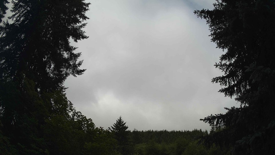
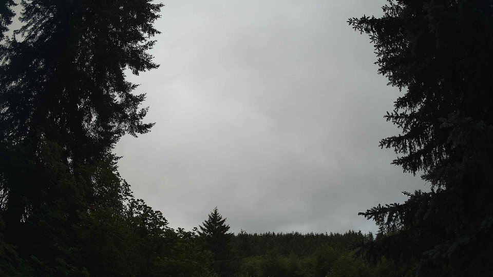
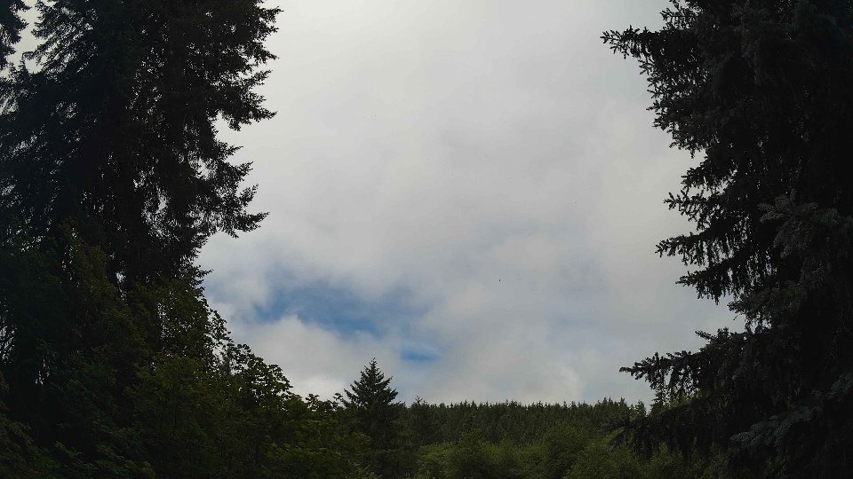
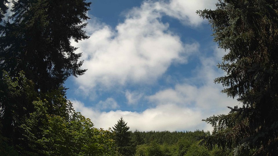
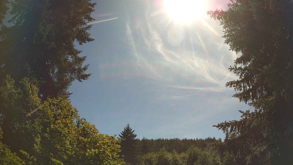
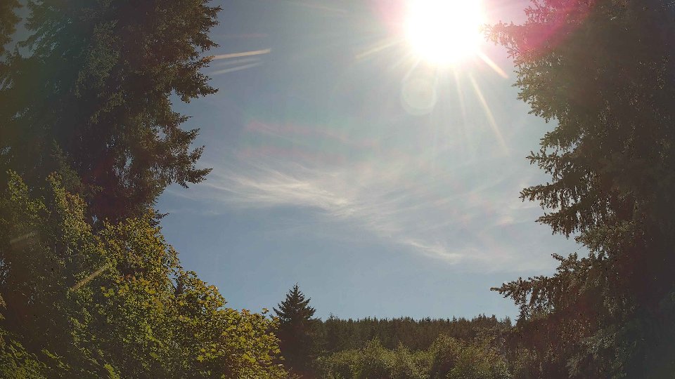
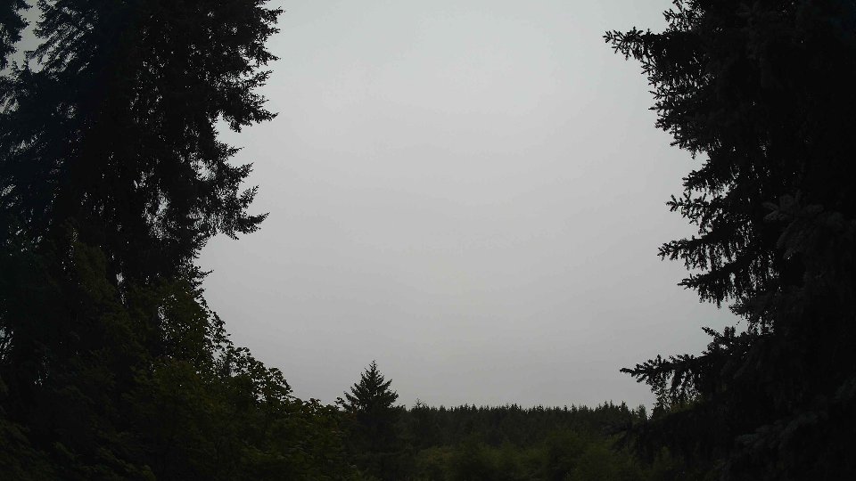
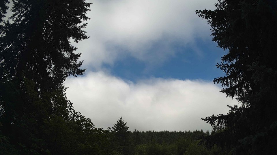
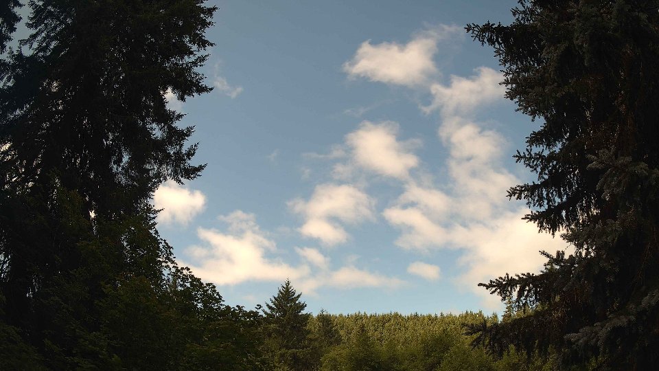
As midday approached, conditions evolved significantly. The surface winds picked up slightly, averaging 3.1 mph, while winds at 100 meters increased to 4.5 mph. The cloud cover thickened dramatically to 99%, with low clouds dominating at 98.8%. This increase in cloud density was accompanied by the emergence of mid-level clouds, which appeared at 28.8%. The conflict between wind layers became more pronounced, with noticeable wind shear developing as the winds at 100 meters began to shift direction, creating swirling patterns in the cloud base. The clouds moved rapidly across the sky, forming a dramatic layered effect that showcased the interplay between the low and mid-level clouds. Despite the increased cloud cover, the temperature rose to a warm 69.8°F, and although no additional precipitation fell during this period, the sky remained thick with moisture, holding the promise of rain.
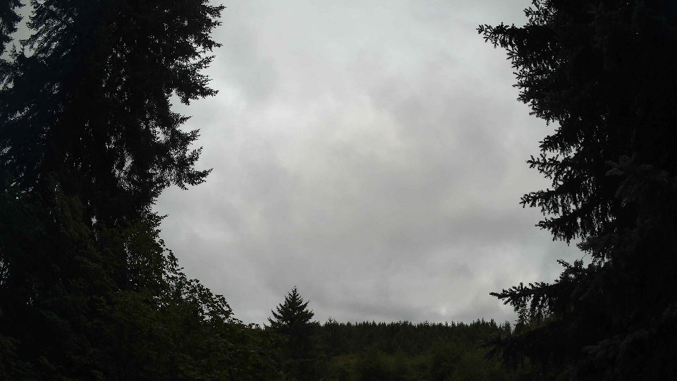
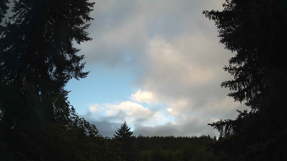
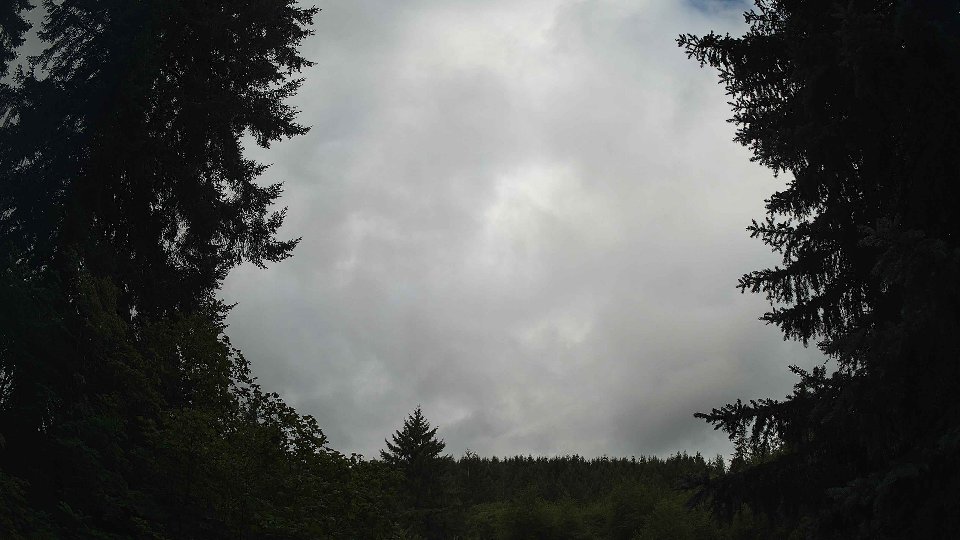
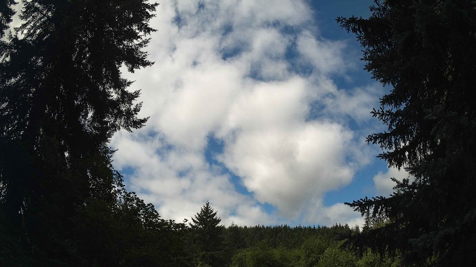
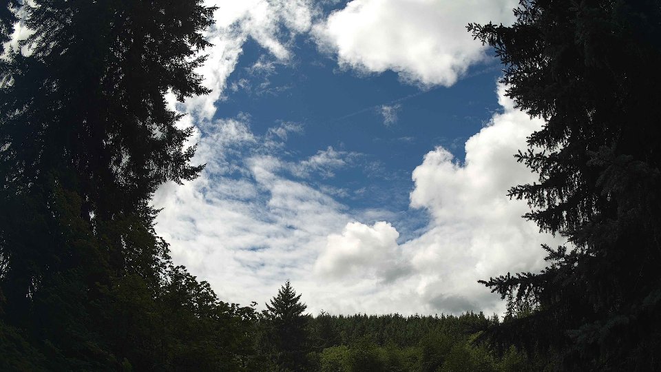
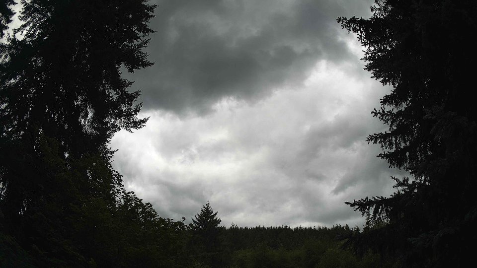
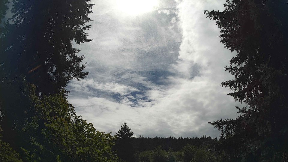
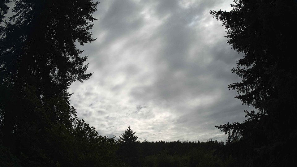
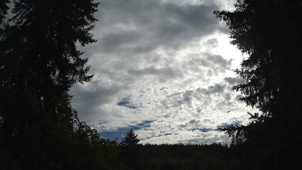
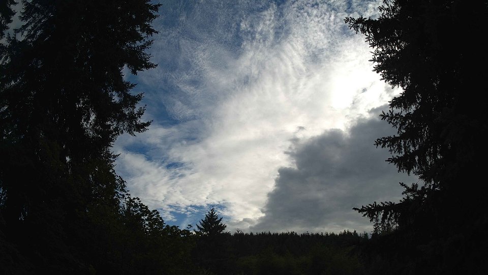
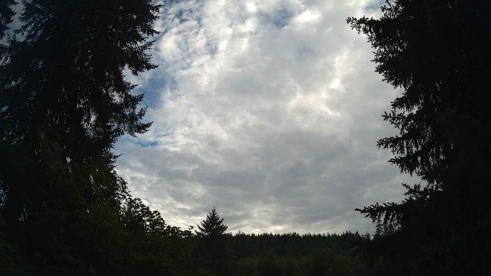
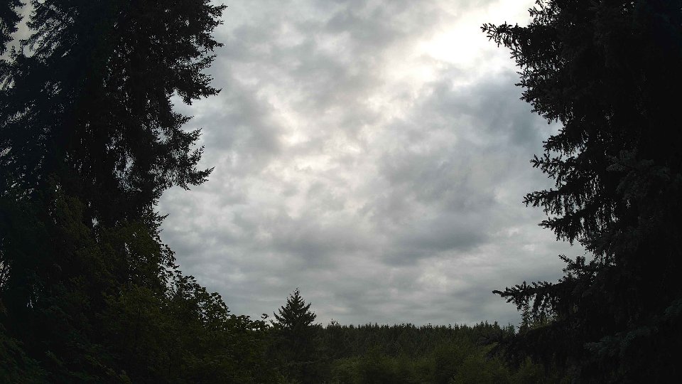
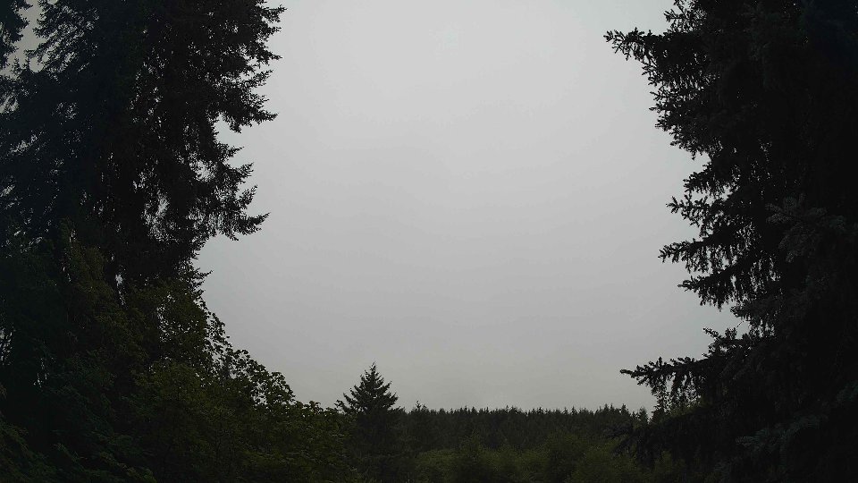
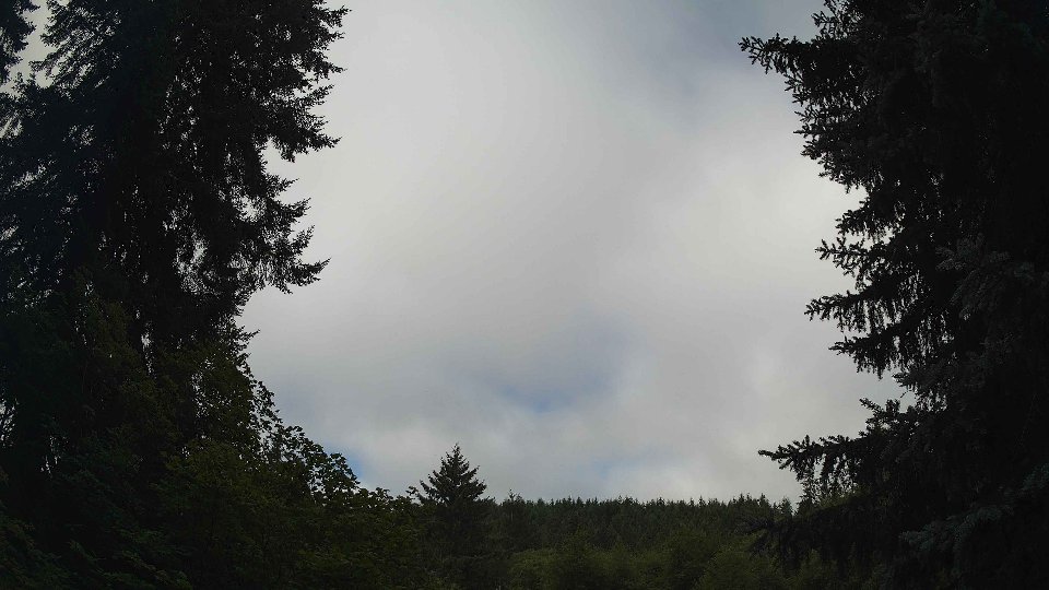
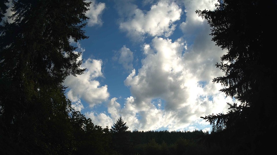
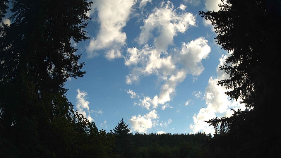
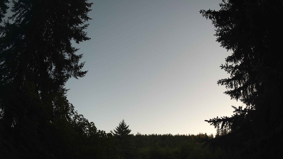
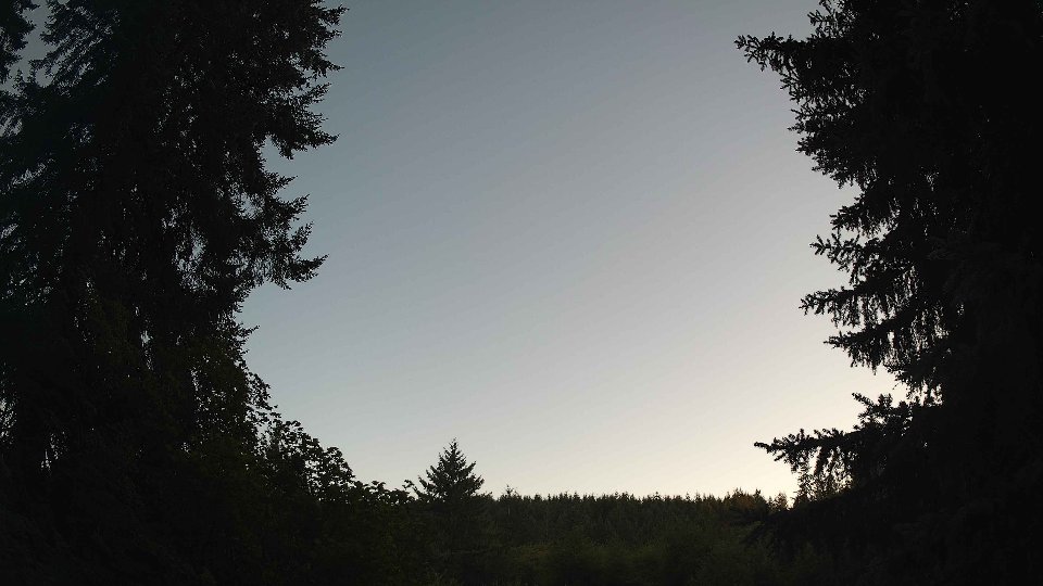
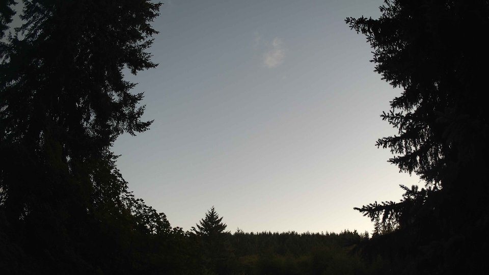
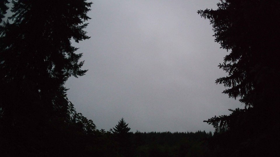
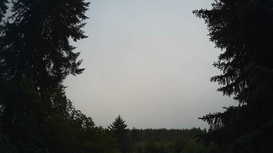
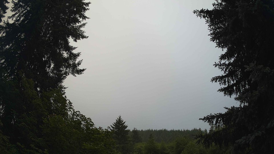
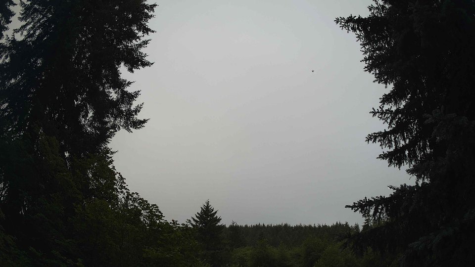
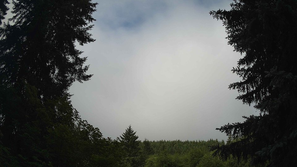
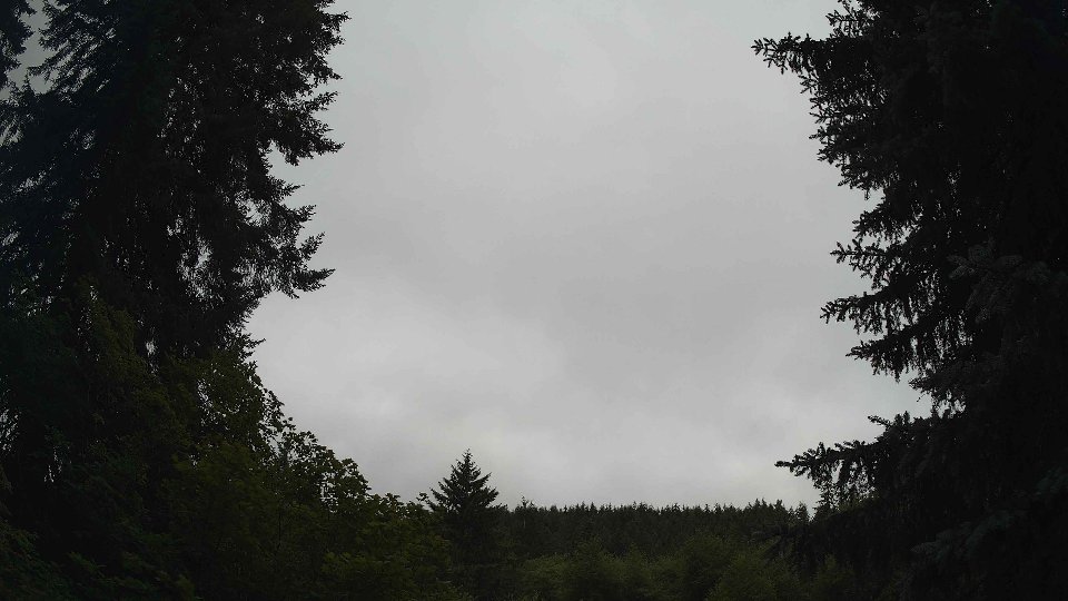
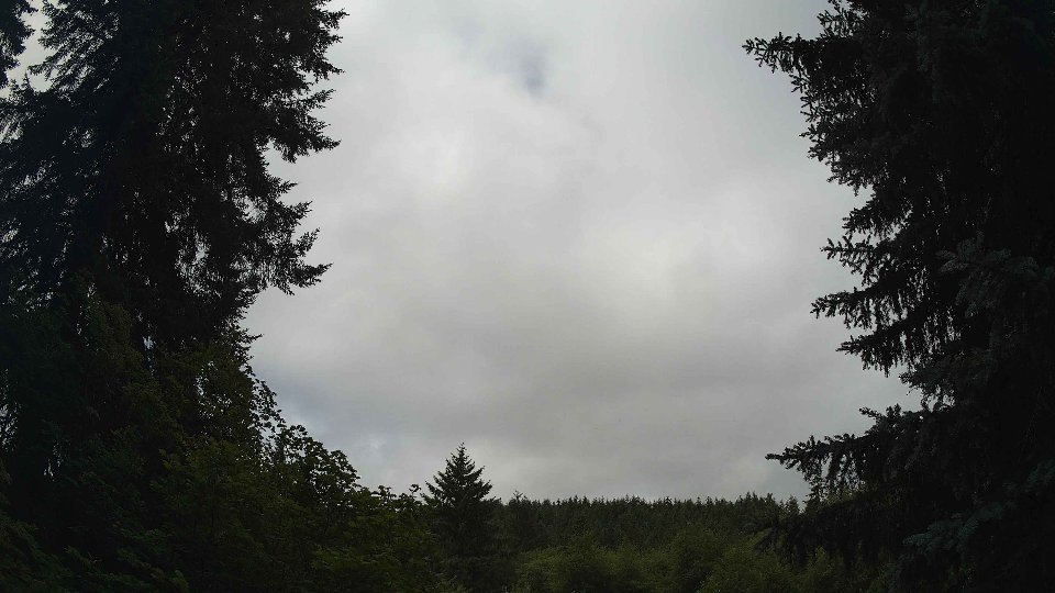
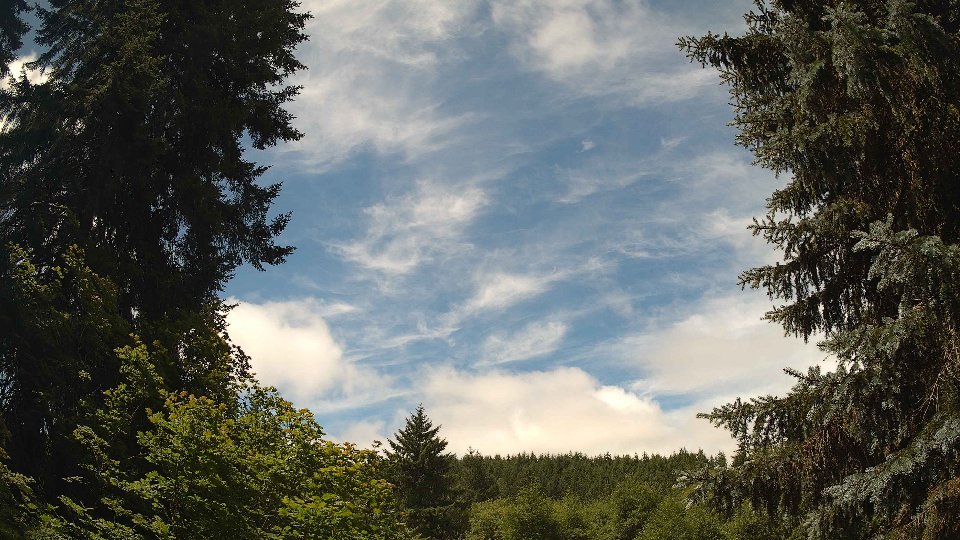
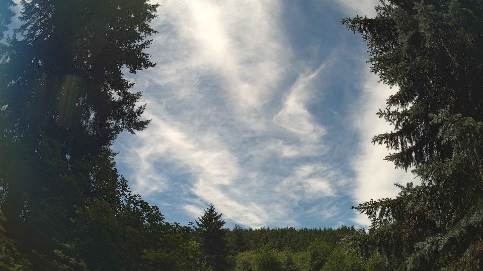
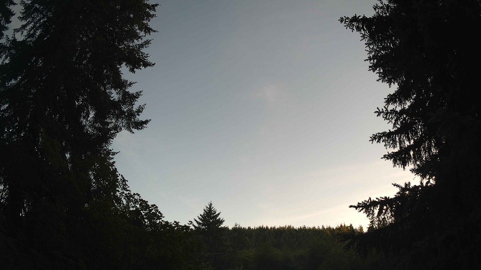
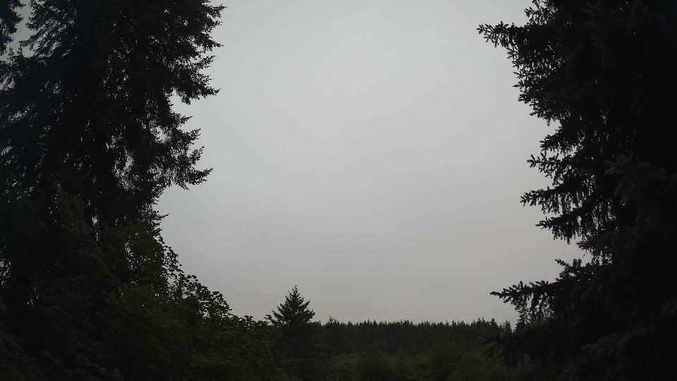
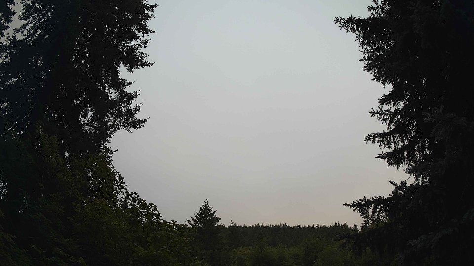
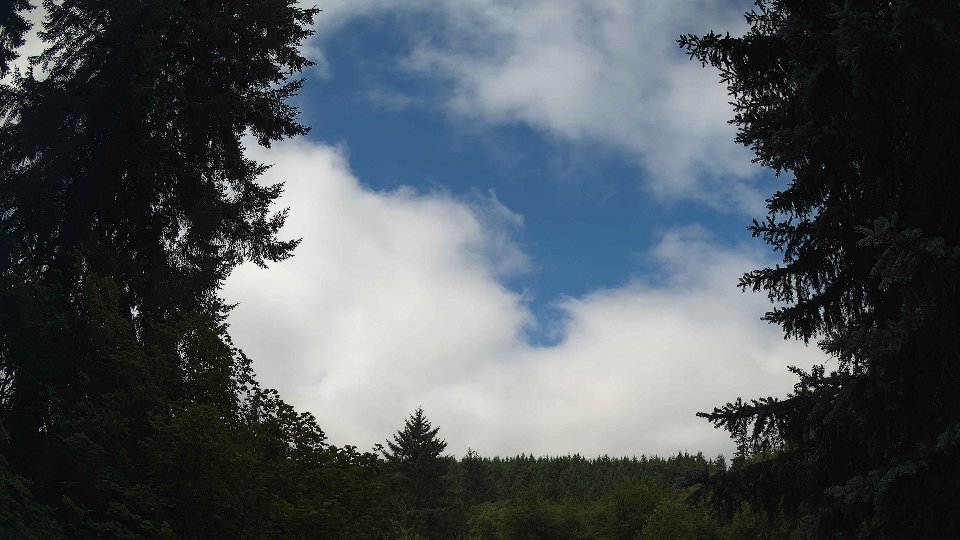
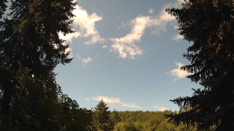
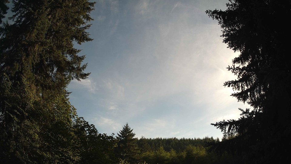
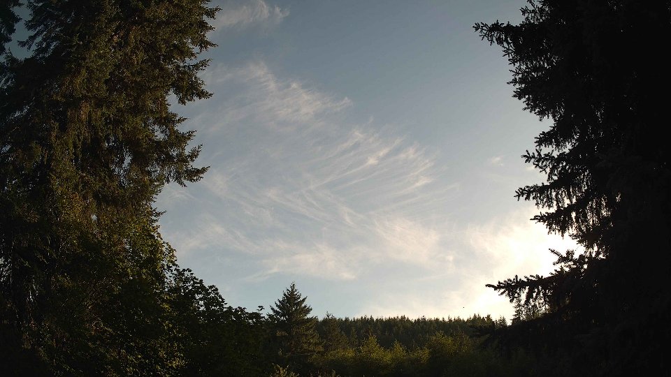
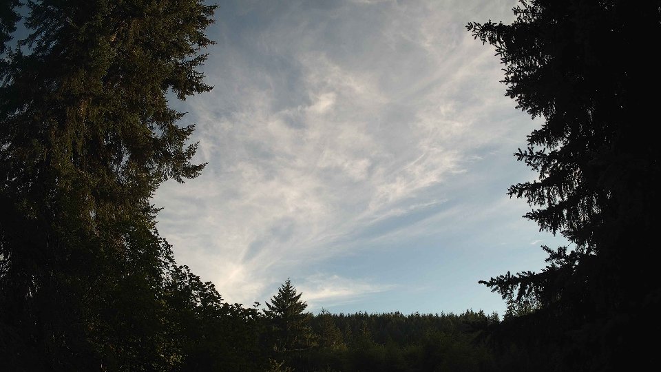
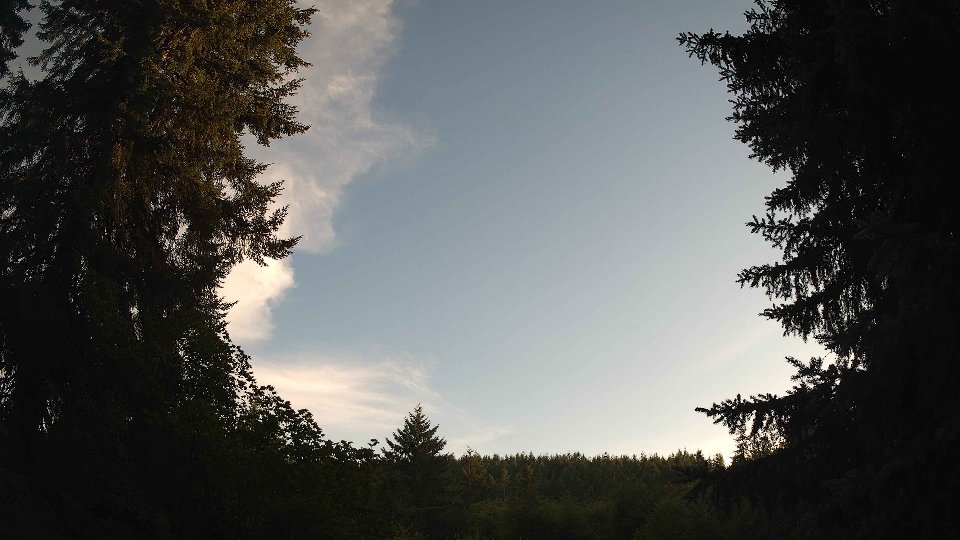
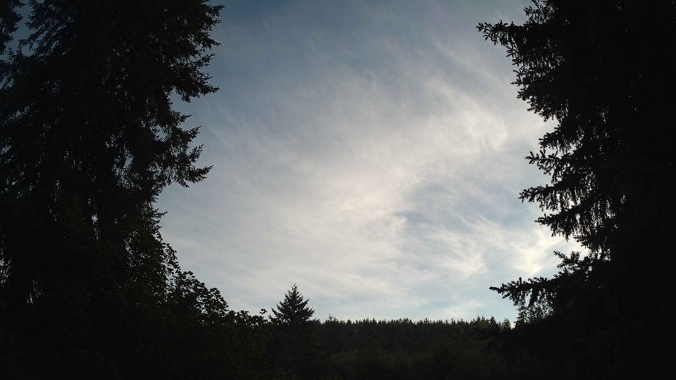
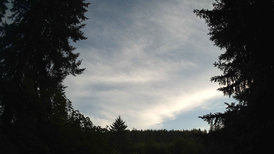
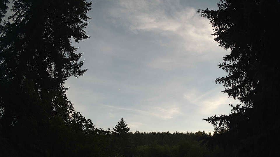
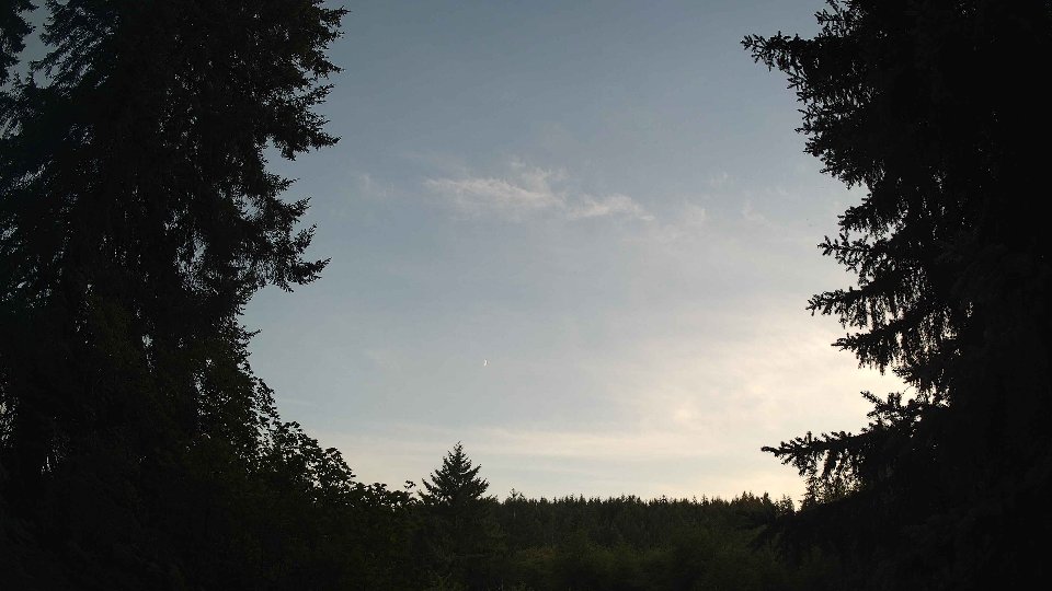
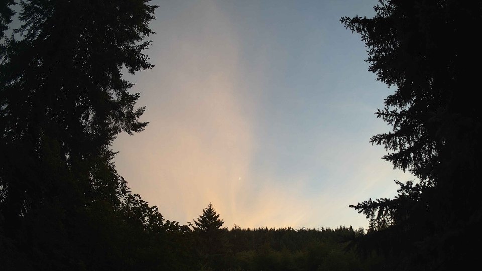
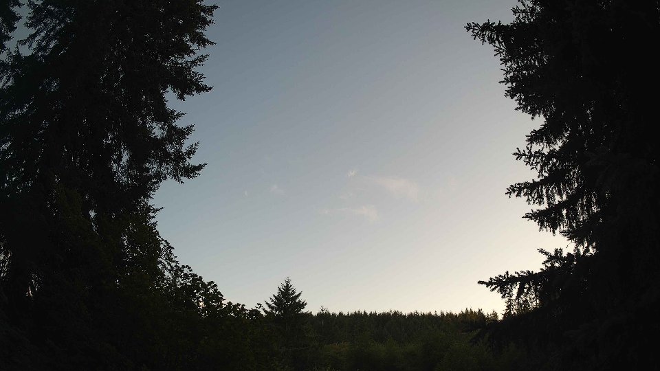
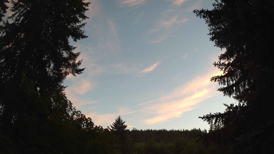
As the evening settled in, the weather began to shift once again. Surface winds increased to an average of 6.5 mph, while winds at 100 meters picked up to 10.1 mph, indicating a more dynamic atmosphere. The cloud cover decreased to 80.4%, with low clouds thinning out to 15.4% but leaving a significant presence of mid-level clouds at 80.3%. This change led to a serene yet visually captivating scene, with the evening light filtering through the layers of clouds, enhancing the overall beauty of the sky. The turbulence from earlier began to ease, but the residual effects of the wind shear from the afternoon lingered, creating a gentle undulation in the cloud layers. The temperature began to cool to 66.8°F, wrapping up a day that evolved from a damp overcast morning to a complex tapestry of clouds and light, showcasing the fascinating interactions of wind and weather throughout the daylight hours.
July 26th, 2026 Timeline
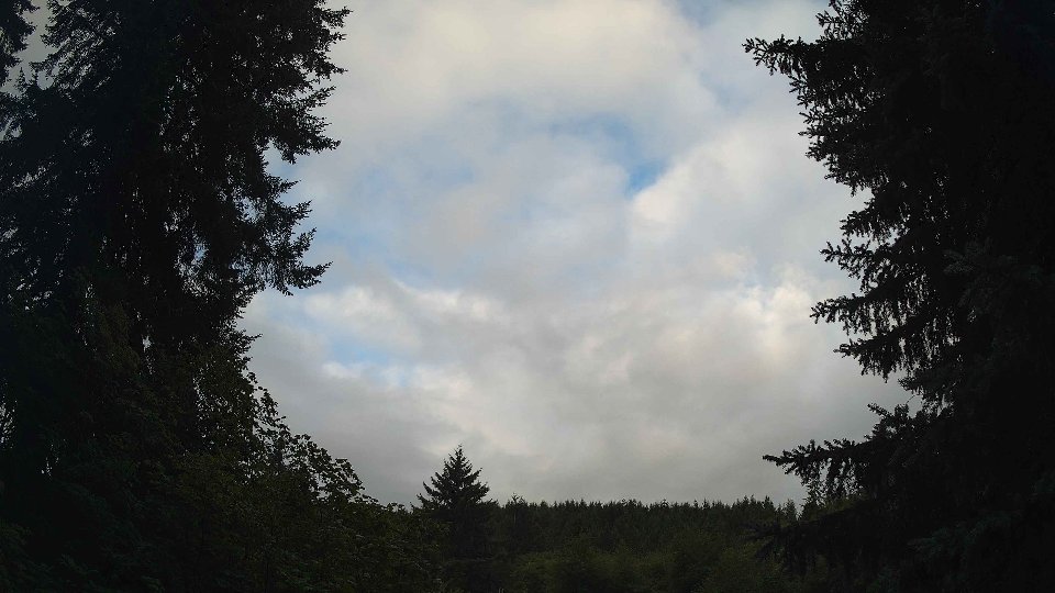
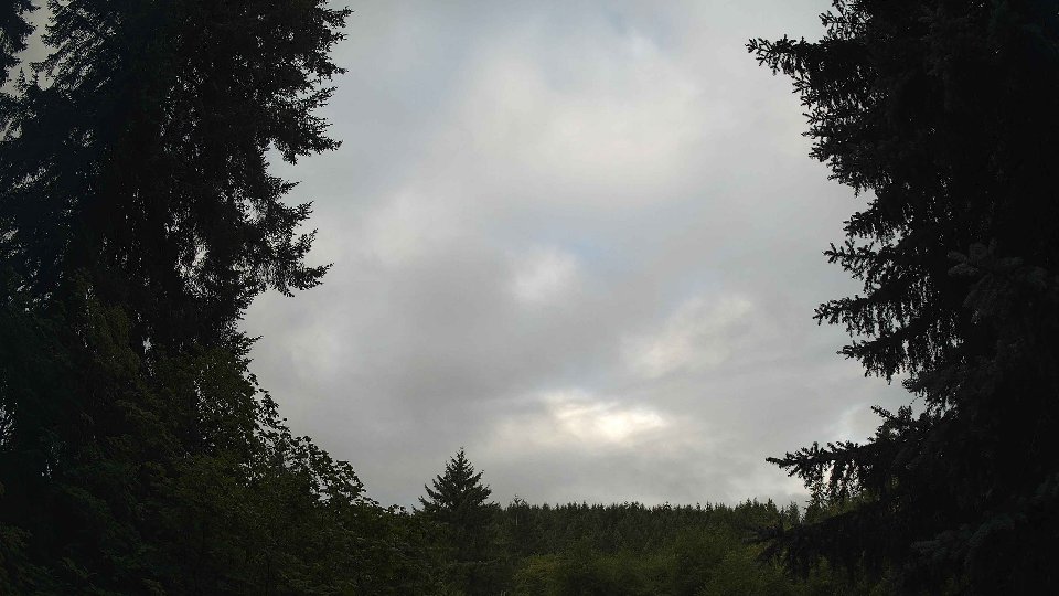
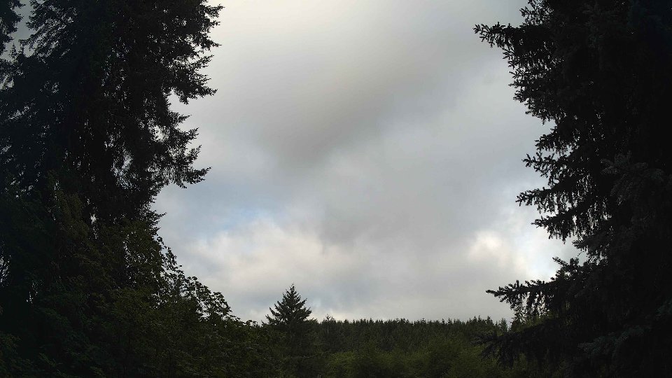
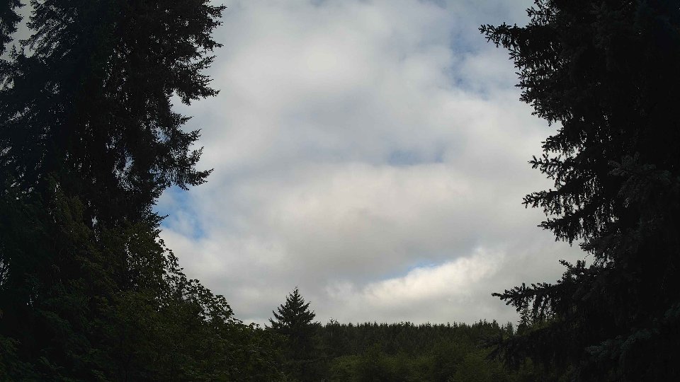
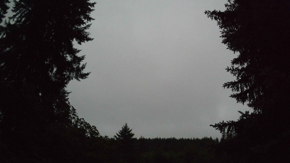
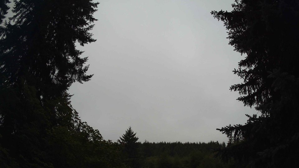
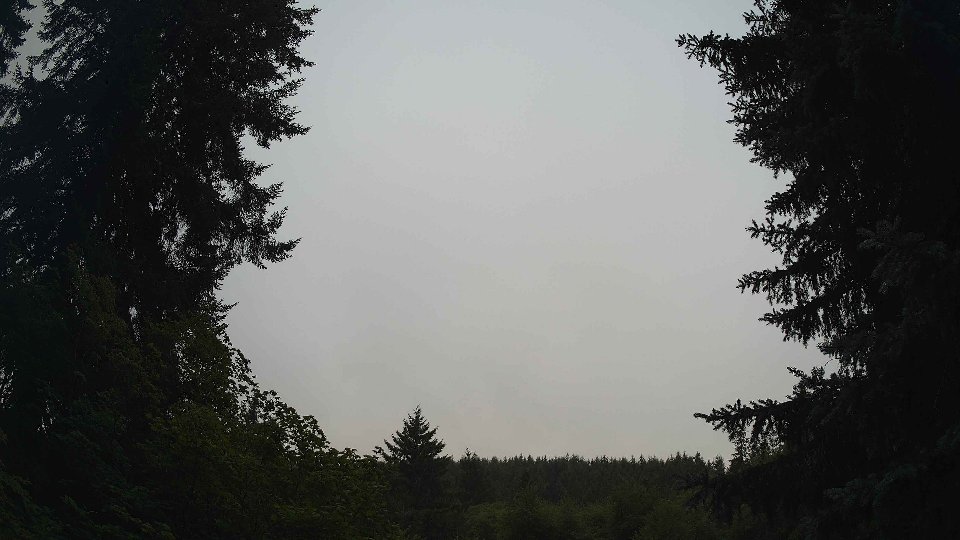
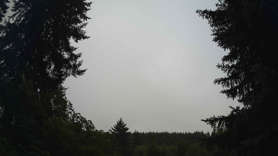
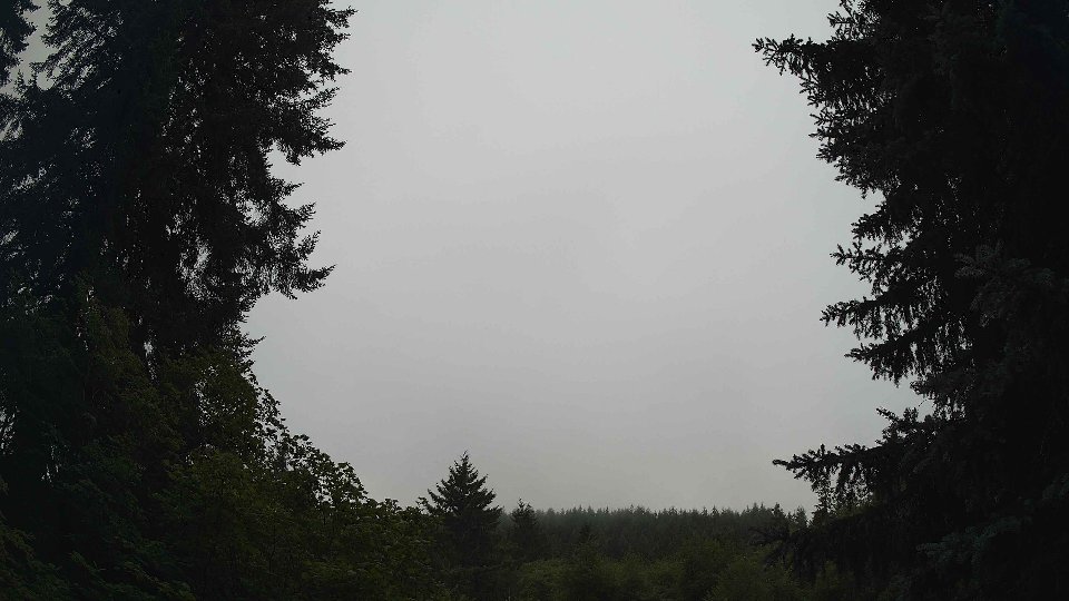
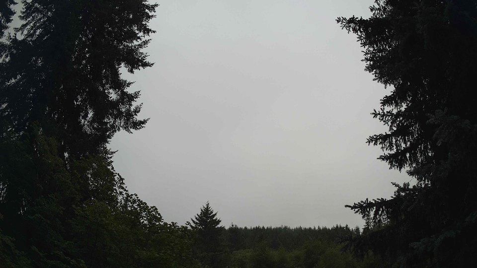
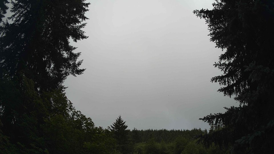
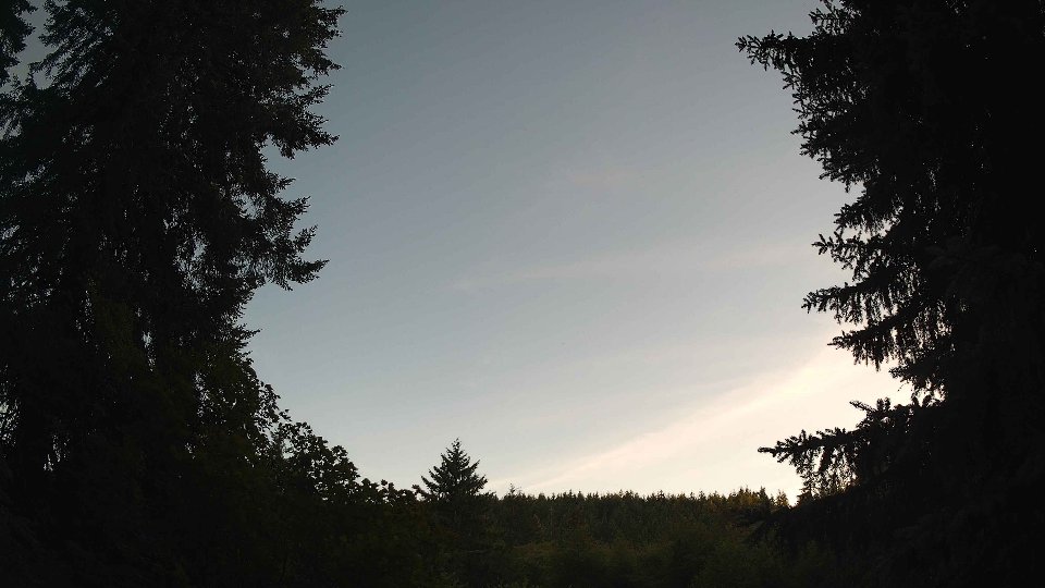
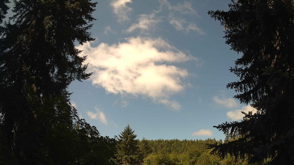
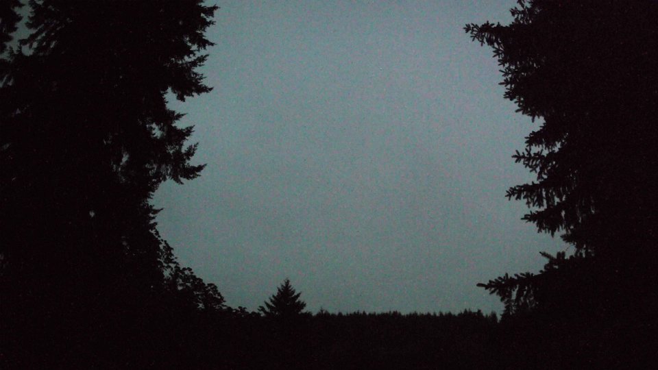
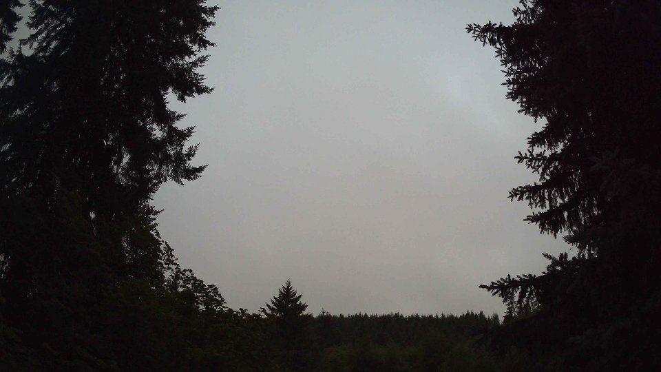
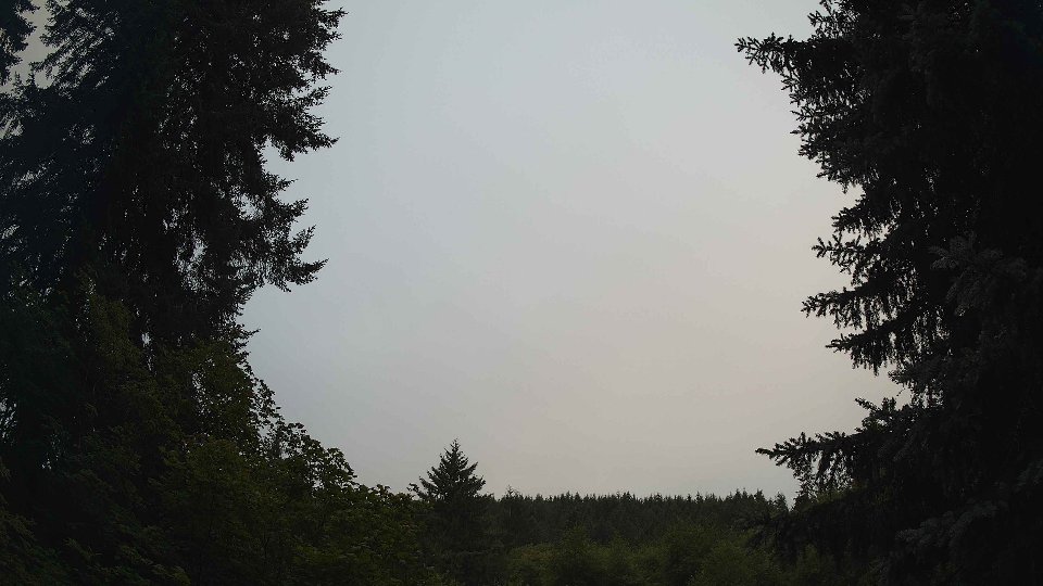
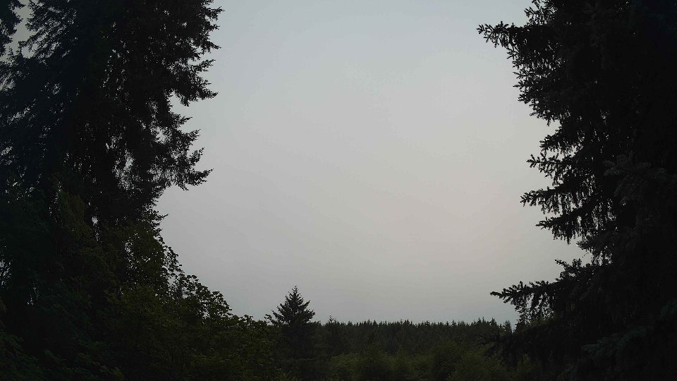
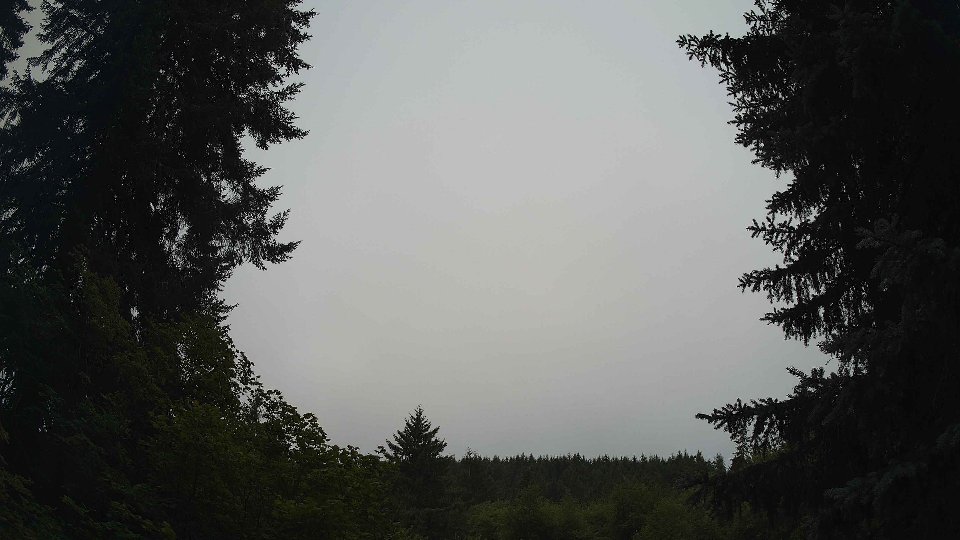
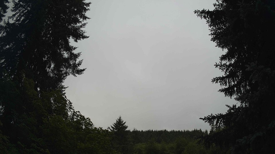
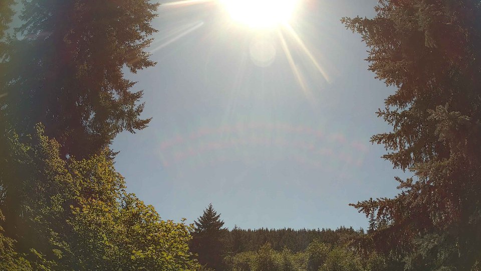
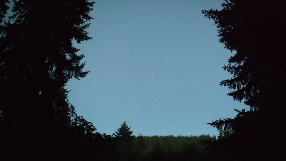
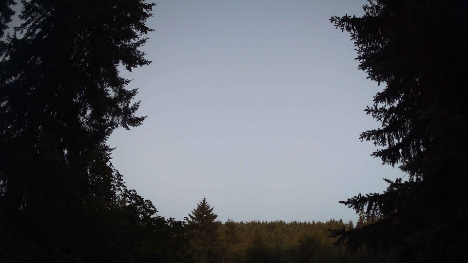
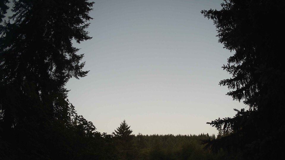
Screenshots with weather data (wind layers, clouds, precipitation)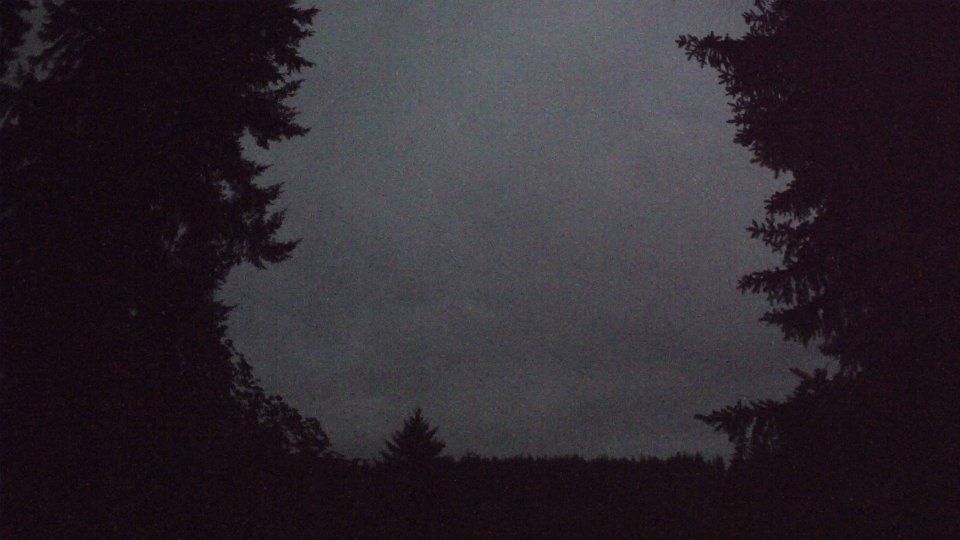











































































































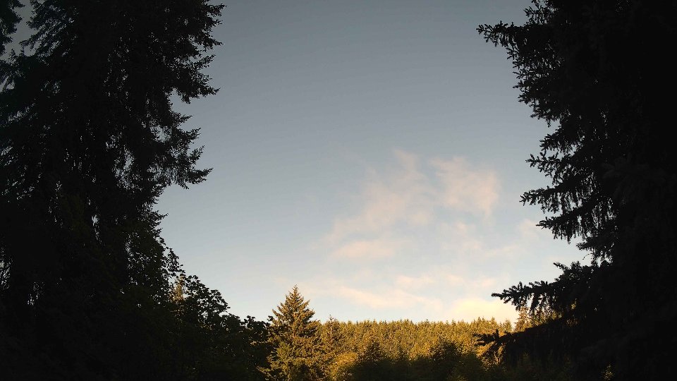
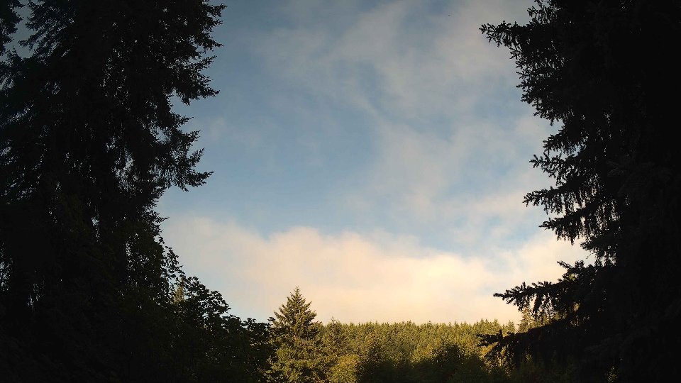
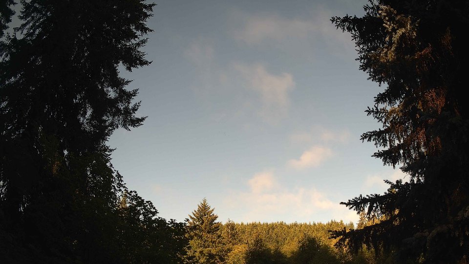





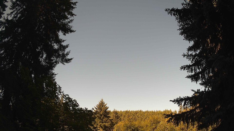












































Weather Info for July 26th, 2026
Sunset: 8:49 PM