August 14th, 2026 Timelapse
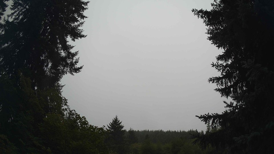
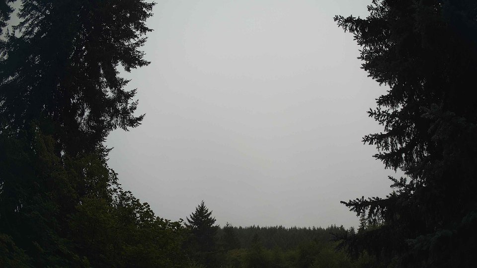
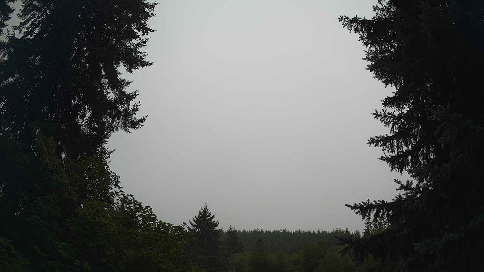
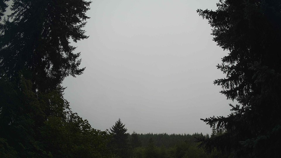
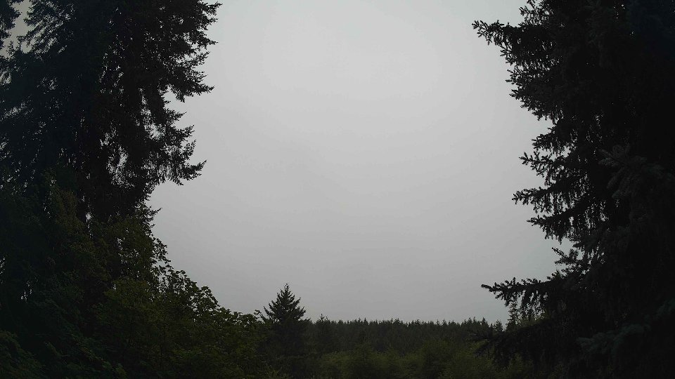
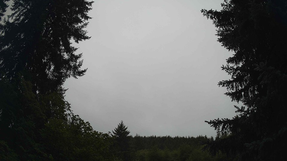
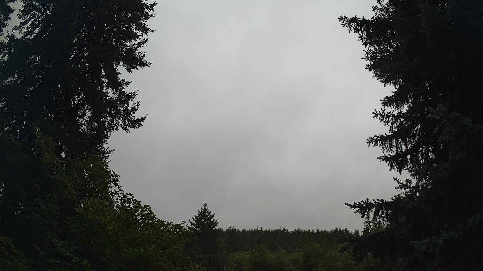
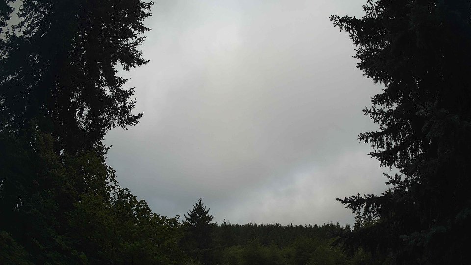
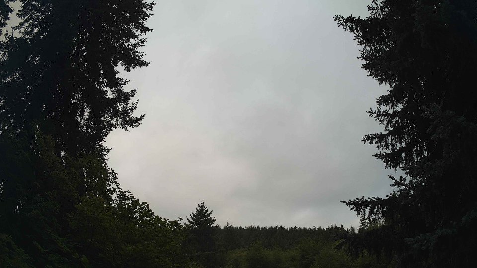
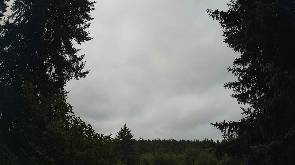
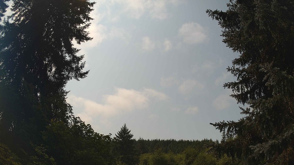
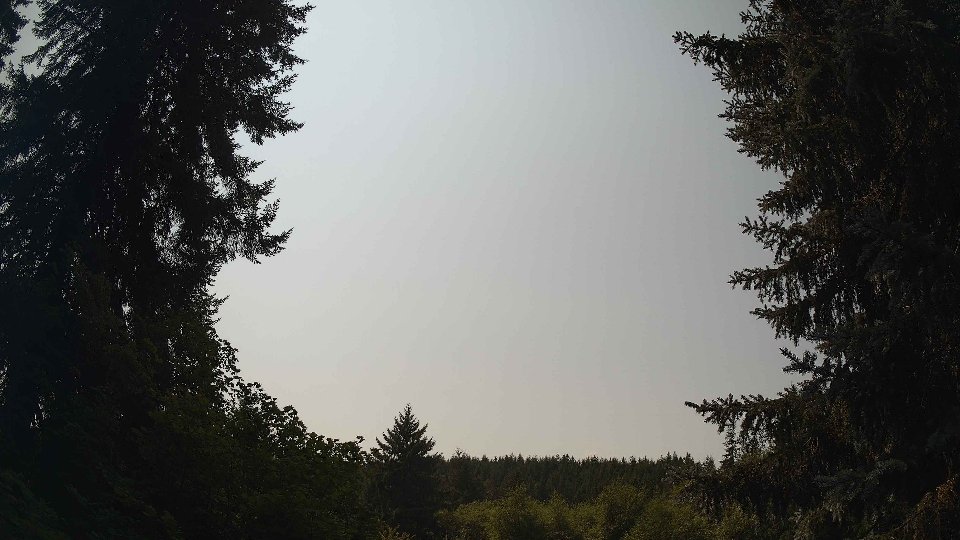
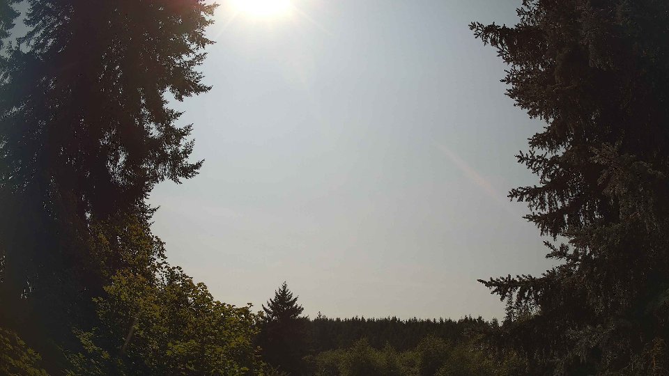
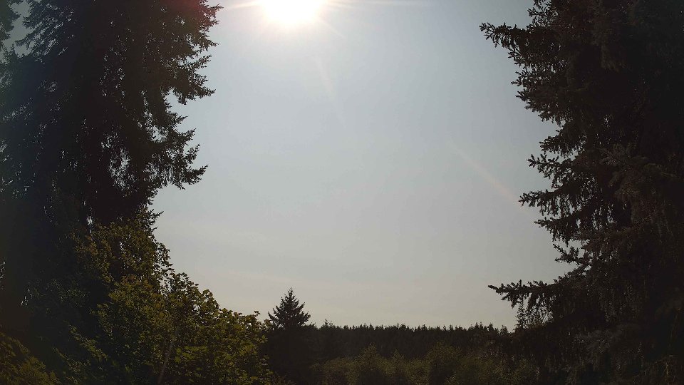
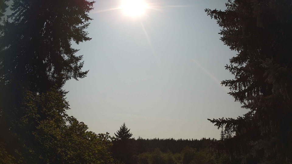
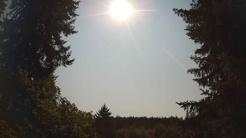
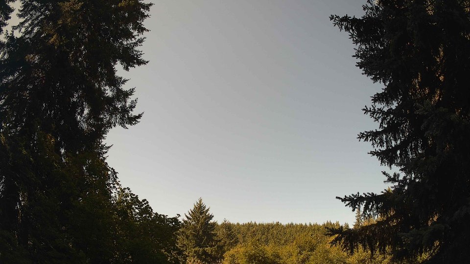
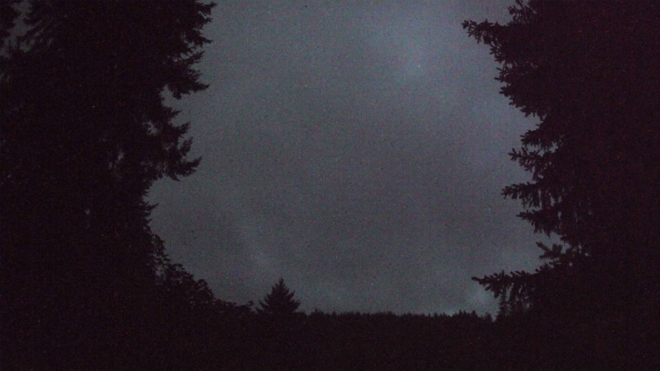
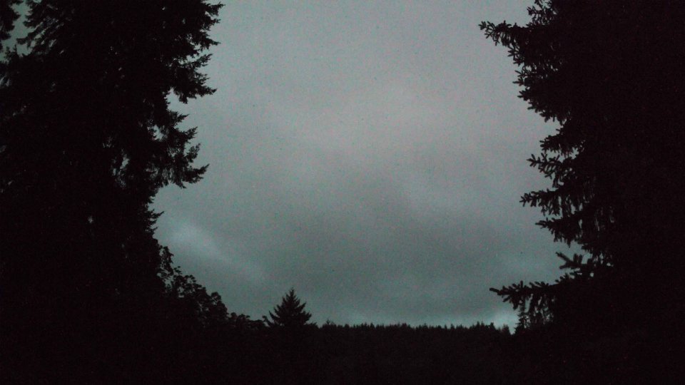
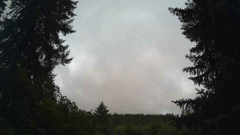
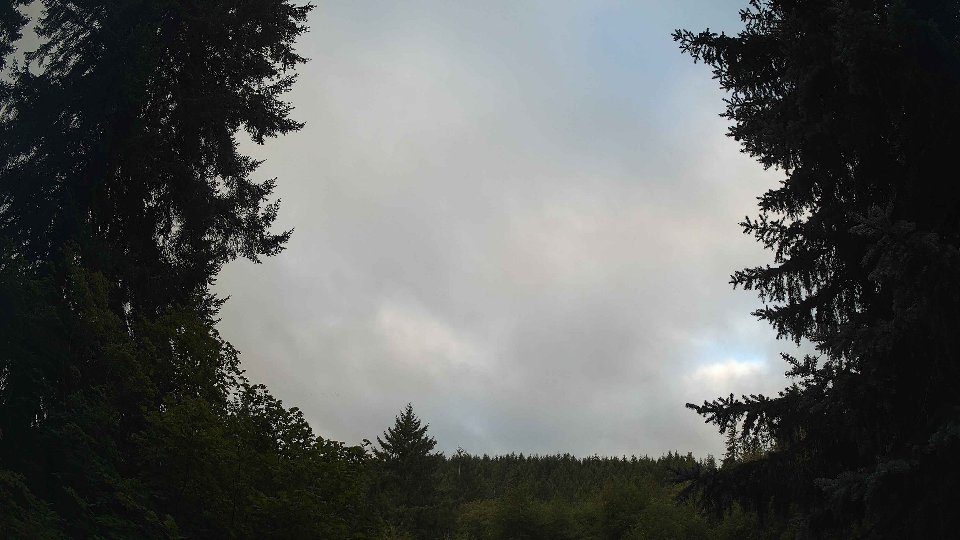
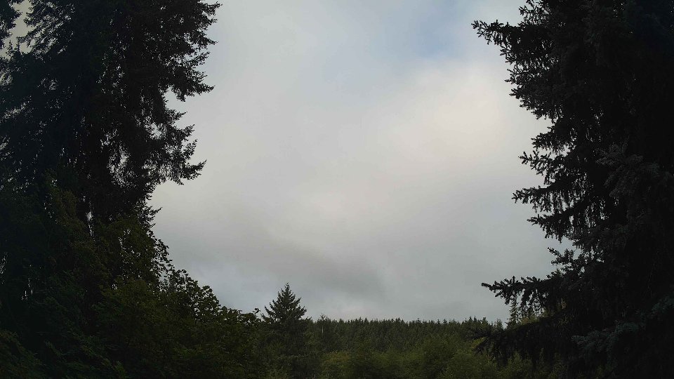
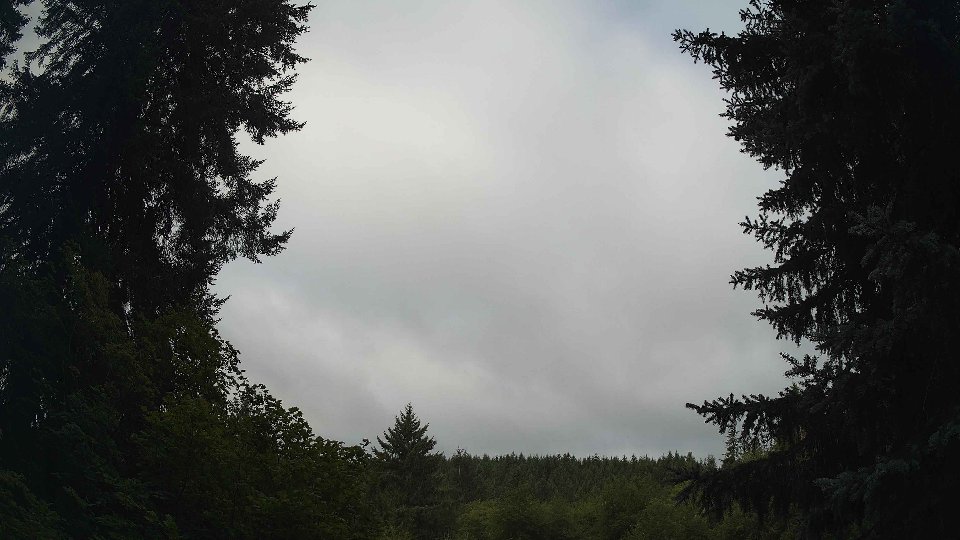
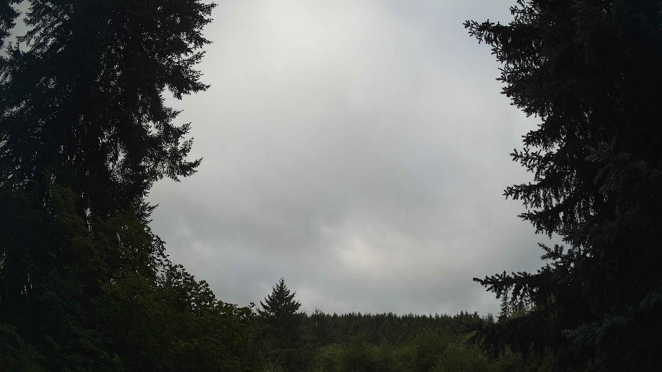
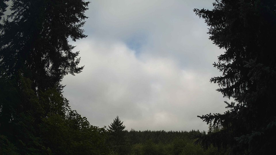
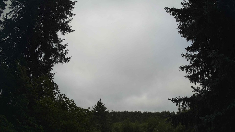
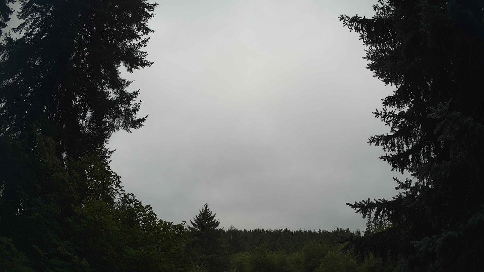
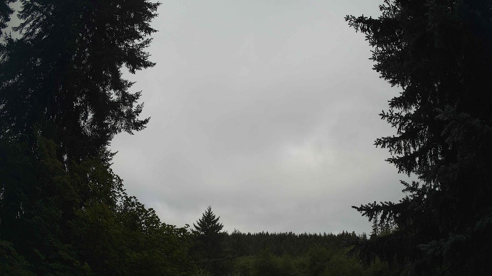
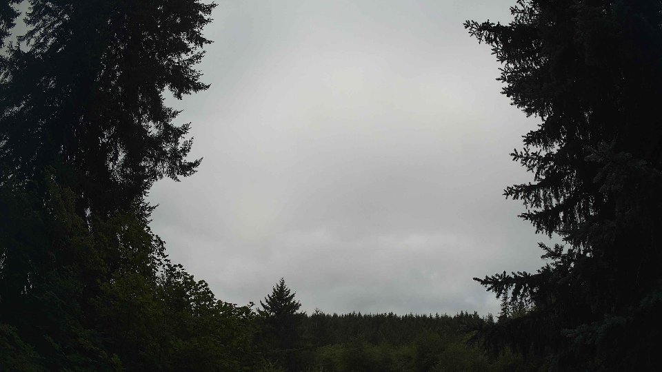
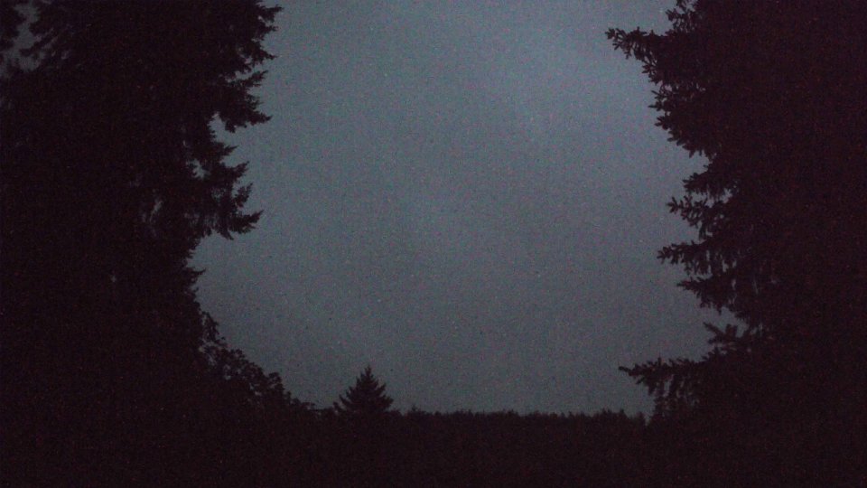
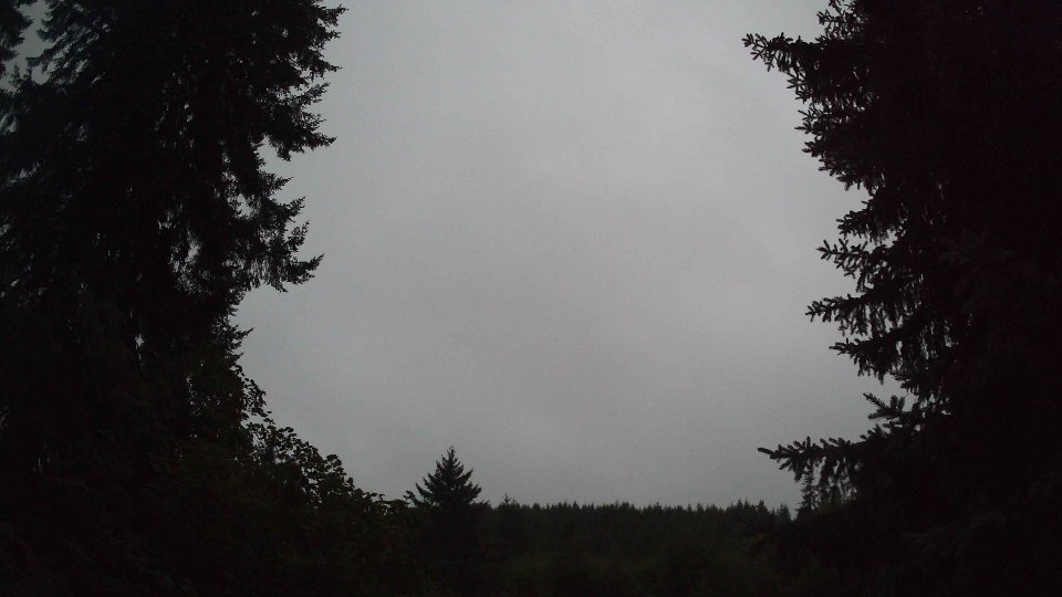
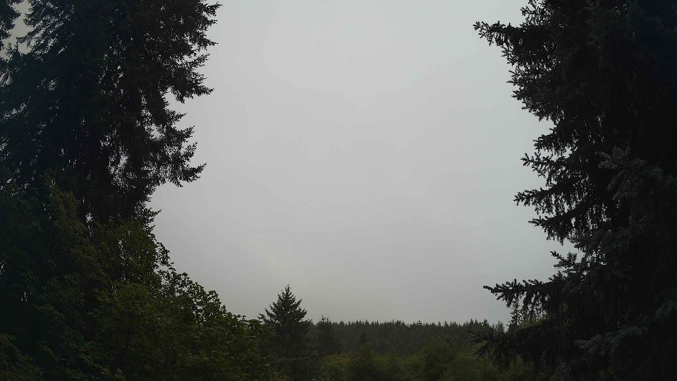
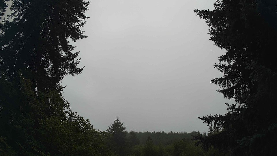
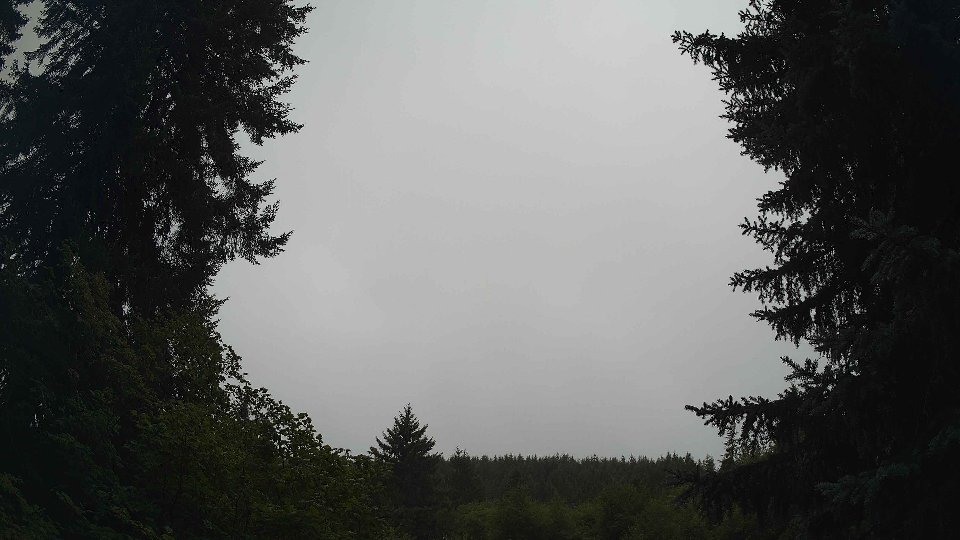
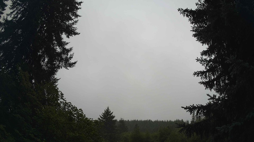
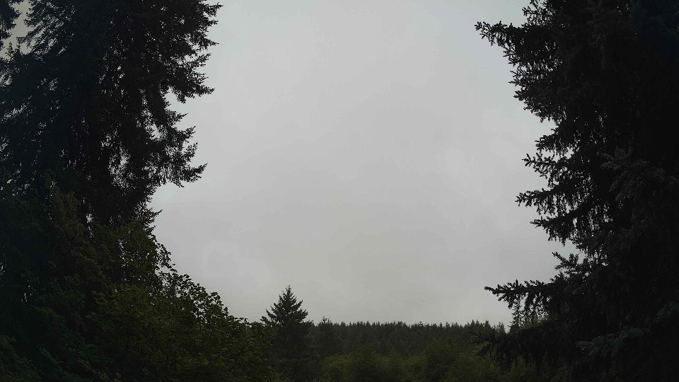
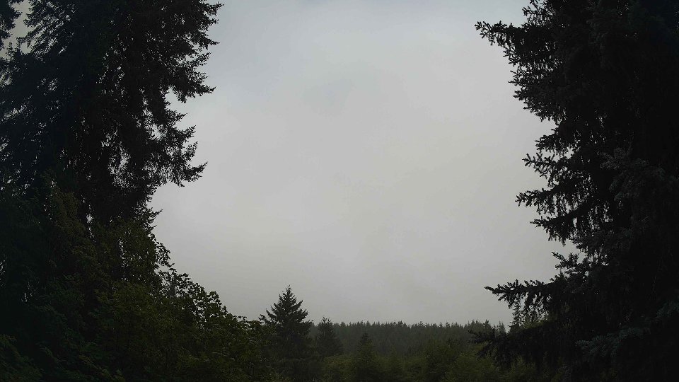
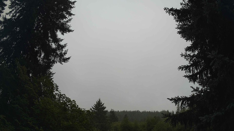
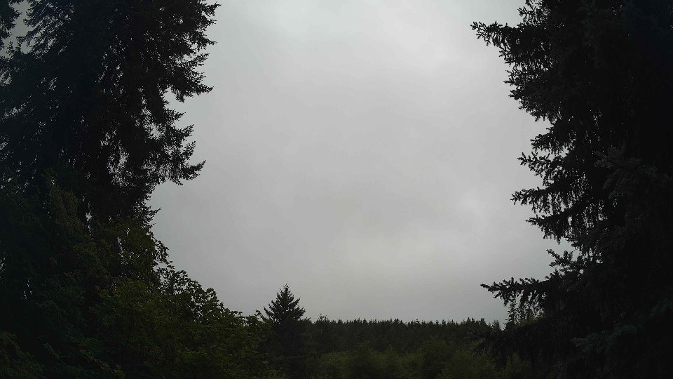
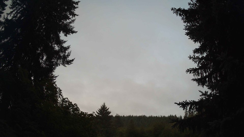
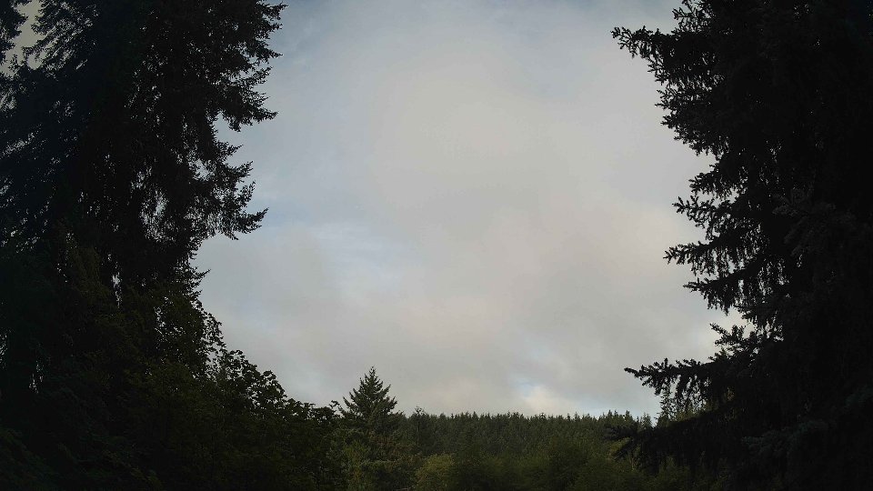
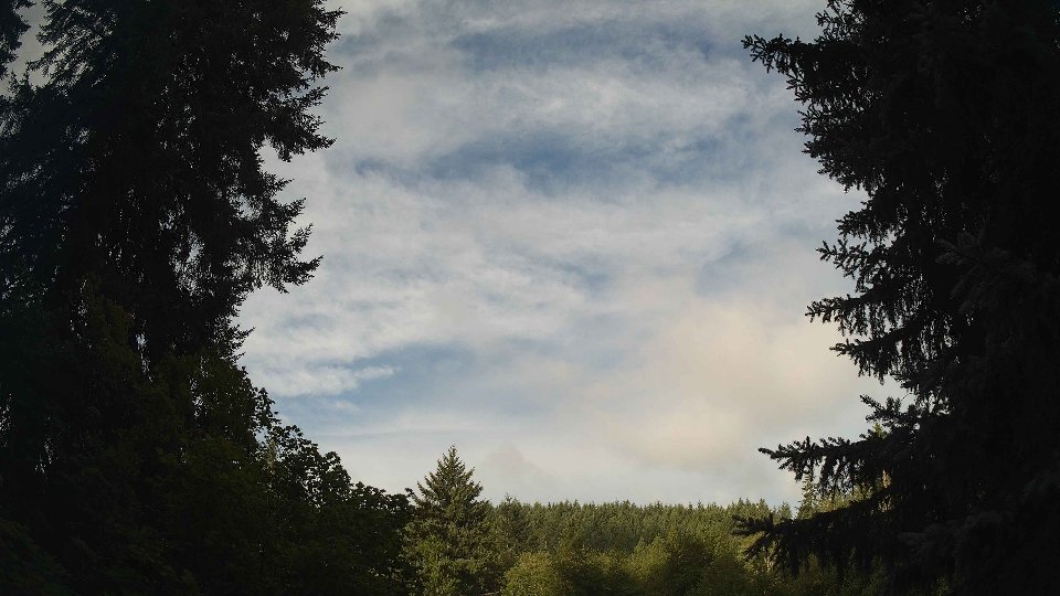
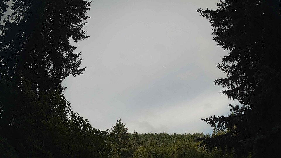
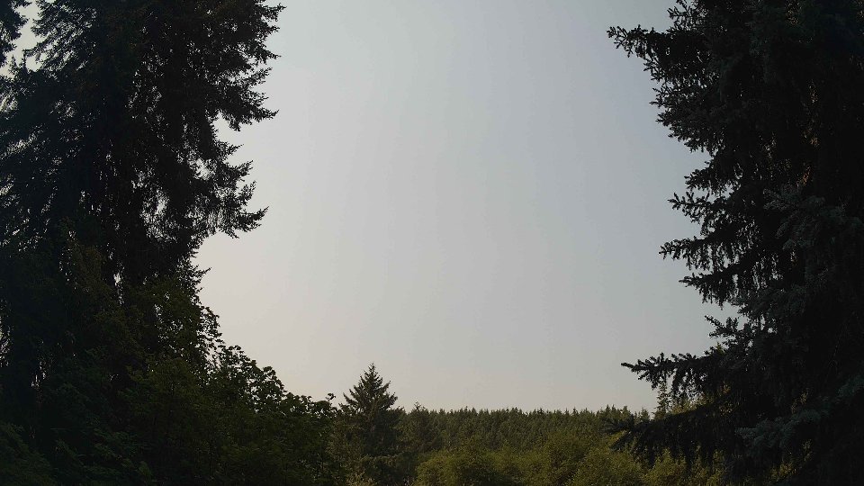
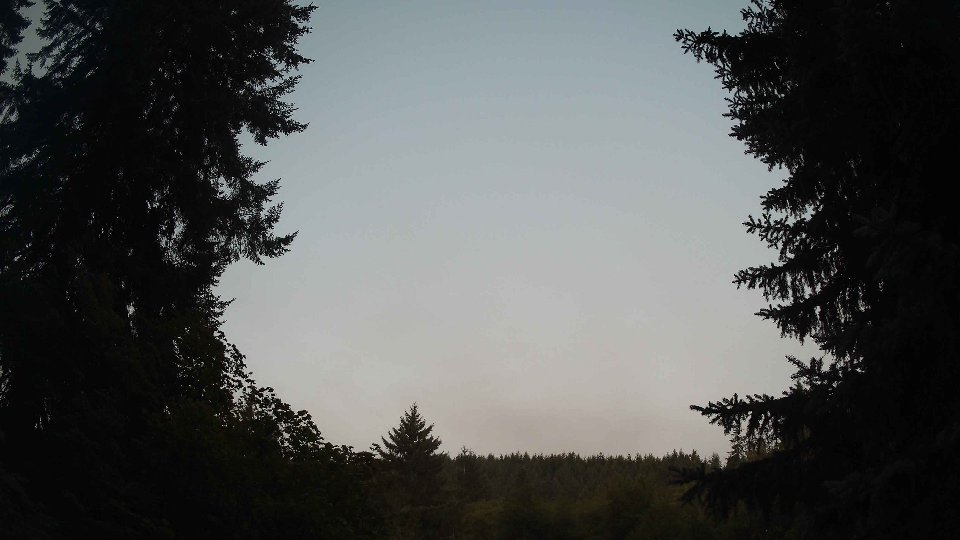
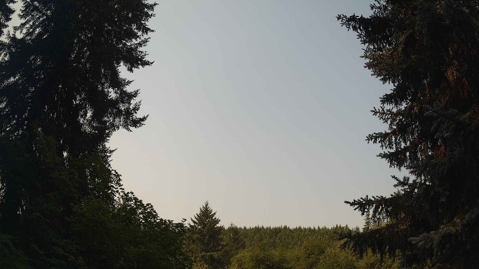
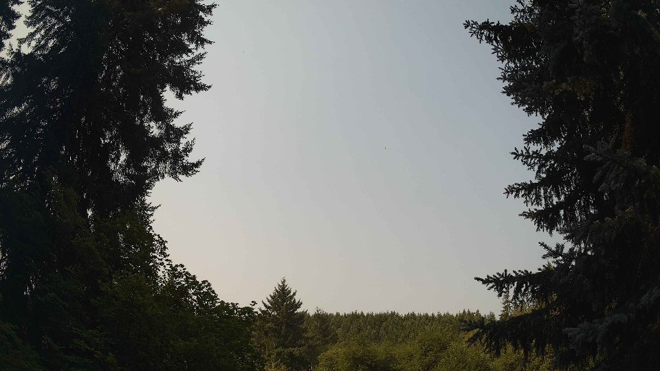
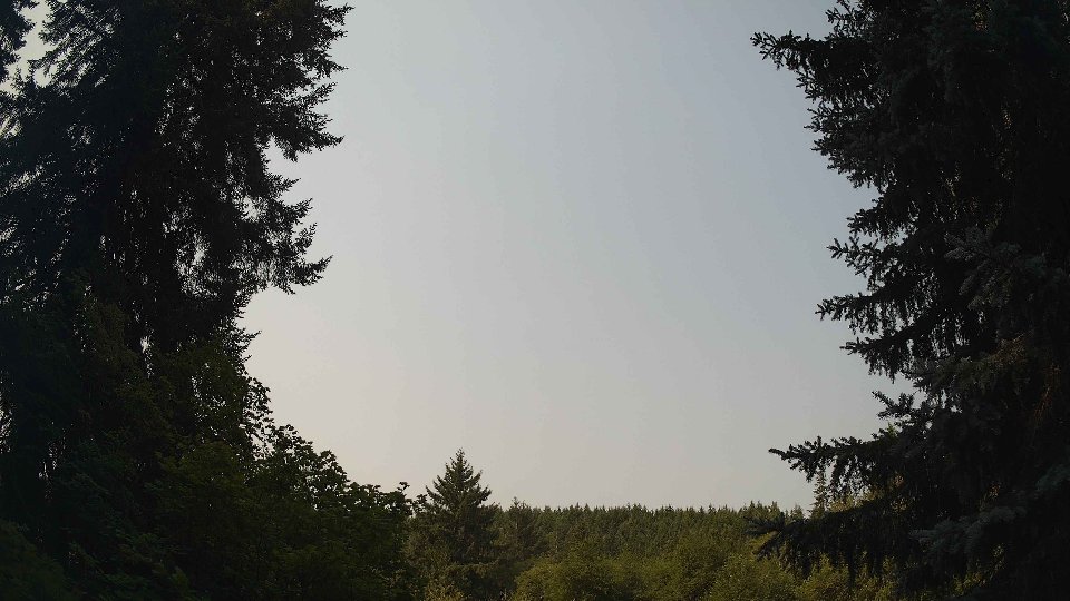
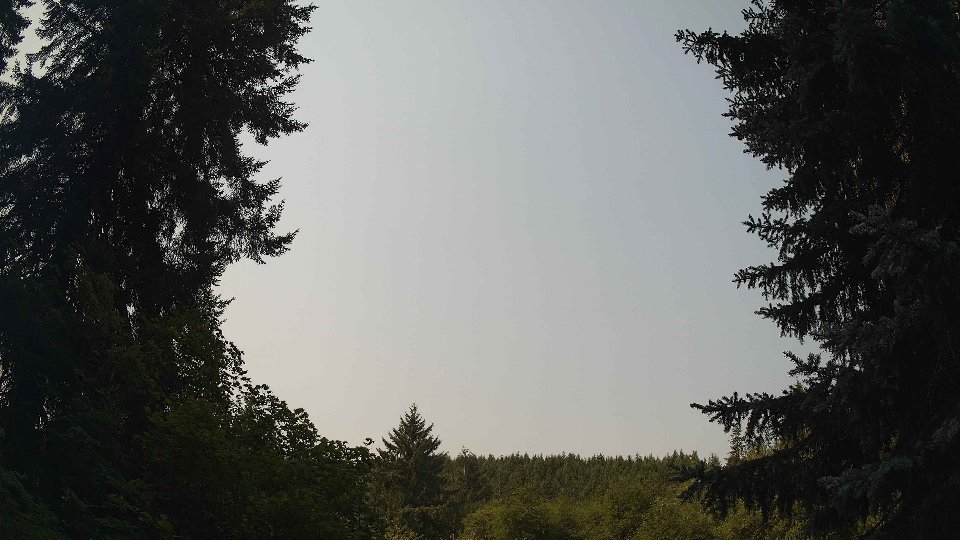
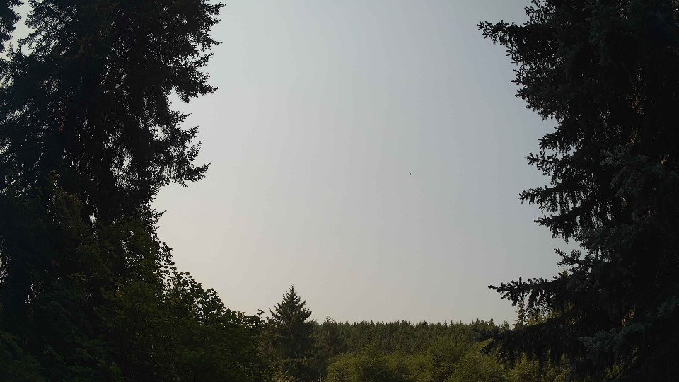
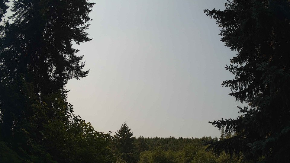
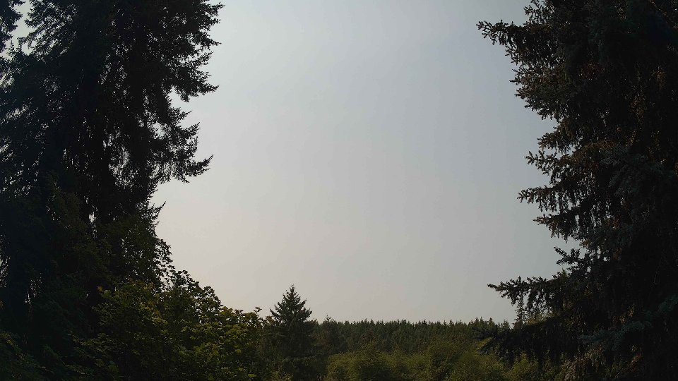
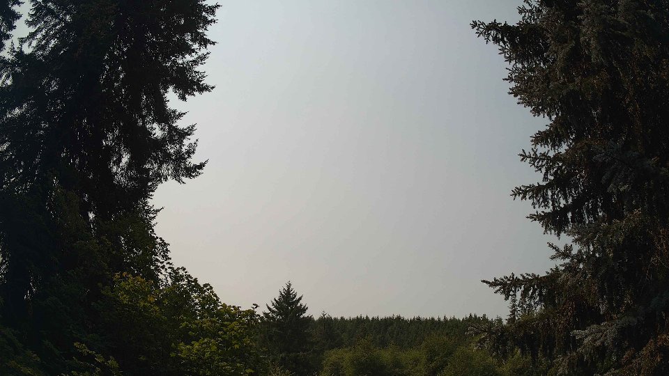
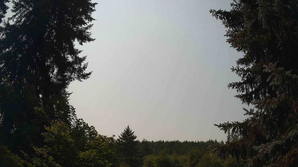
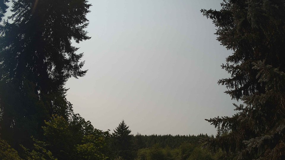
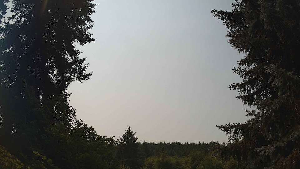
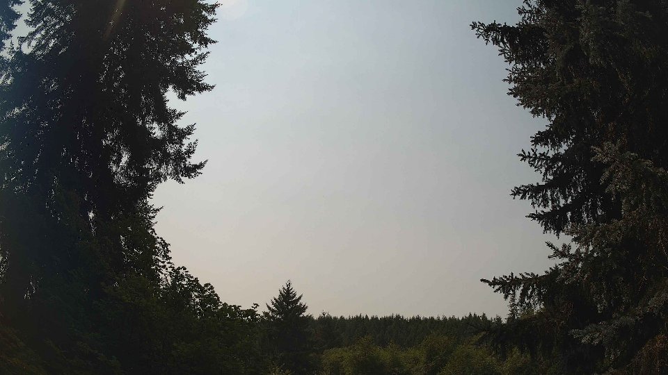
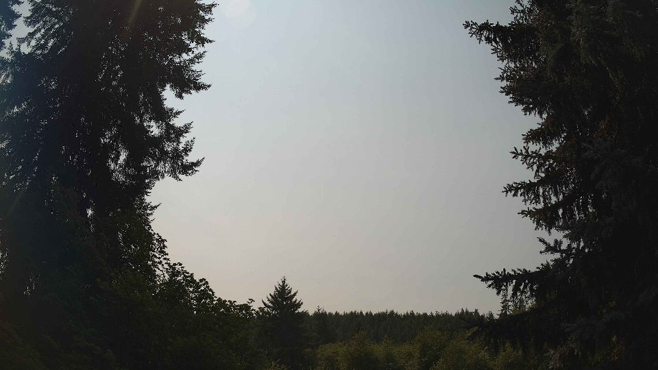
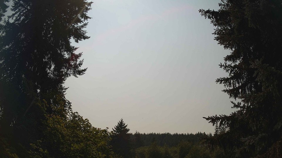
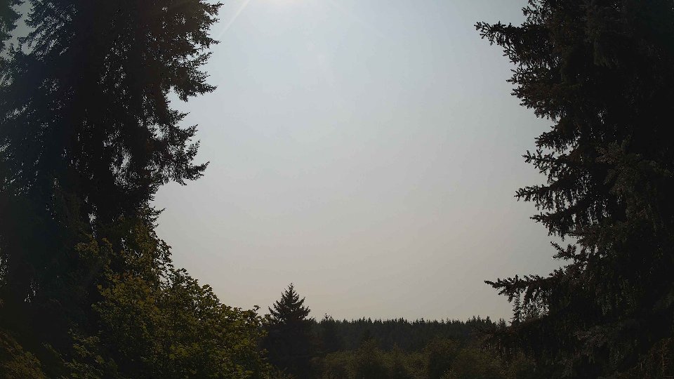
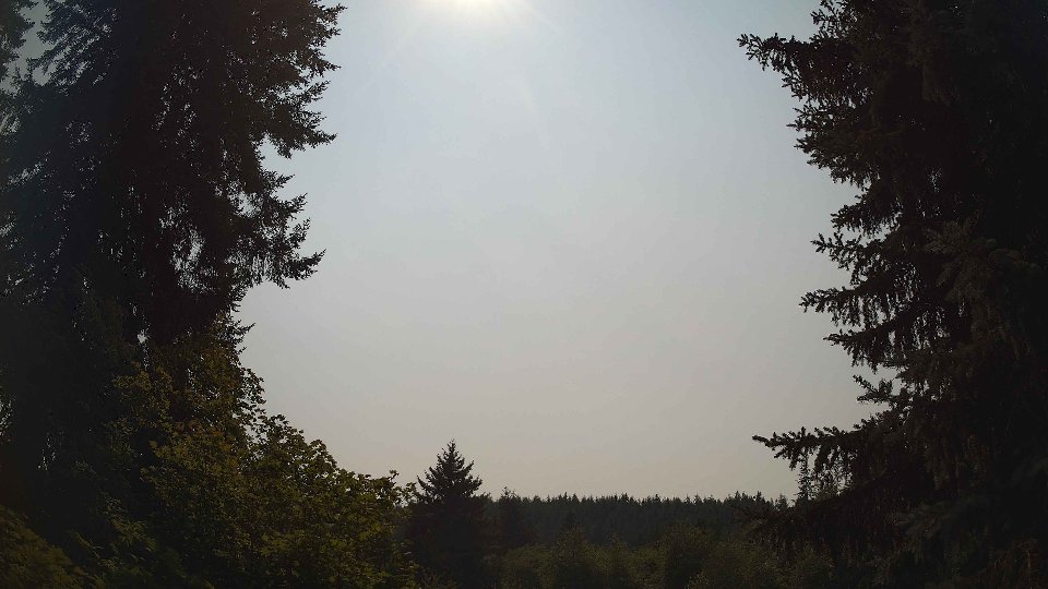
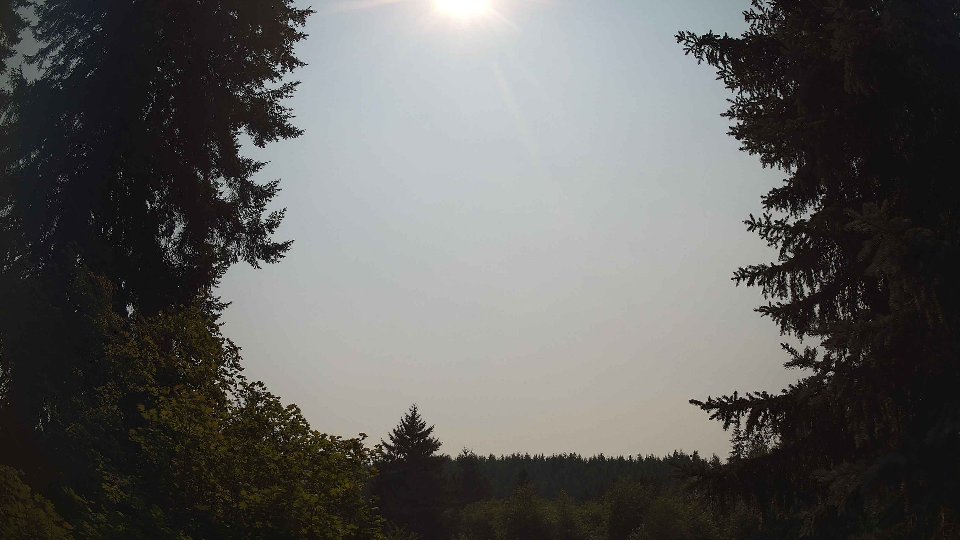
August 14th began with a blanket of clouds blanketing the sky, with an impressive 93% average cloud cover. At the surface, winds were calm at just 2.4 mph, which allowed the low clouds, making up 91.2% of the cloud cover, to drift slowly across the horizon. However, at 100 meters, winds picked up slightly to an average of 3.2 mph, suggesting a gentle upward movement that kept the low clouds in place while stalling any significant clearing. The temperature was a cool 58°F, and light rain had fallen overnight, contributing a modest 0.07 inches of precipitation. This moisture hung in the air, clinging to the clouds as they loomed overhead, creating a thick atmospheric pressure that would influence the day’s dynamics. Conflicting wind directions between surface and aloft layers likely generated some turbulence, as the gentle surface flow struggled to match the slightly stronger winds above.
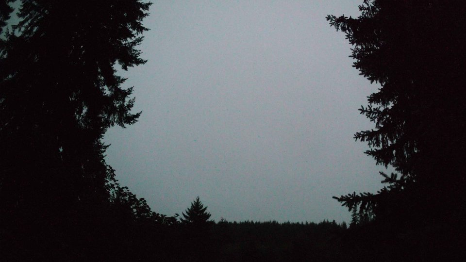
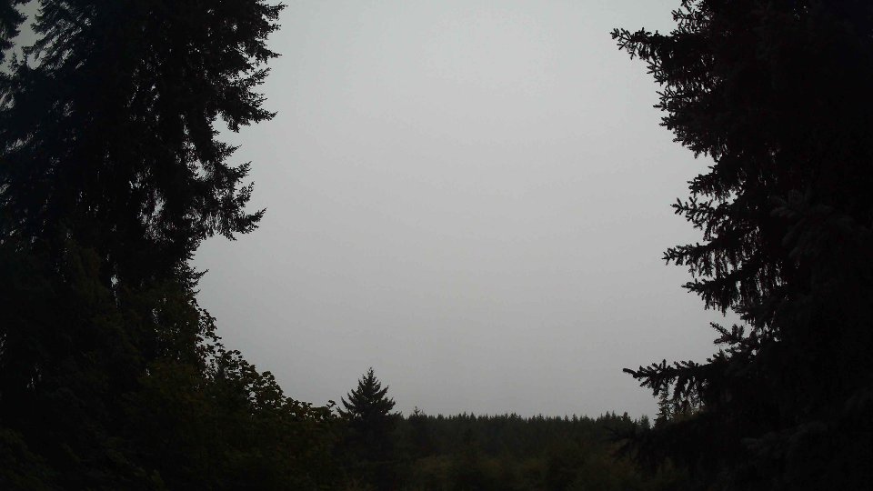
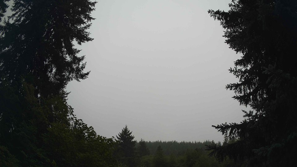
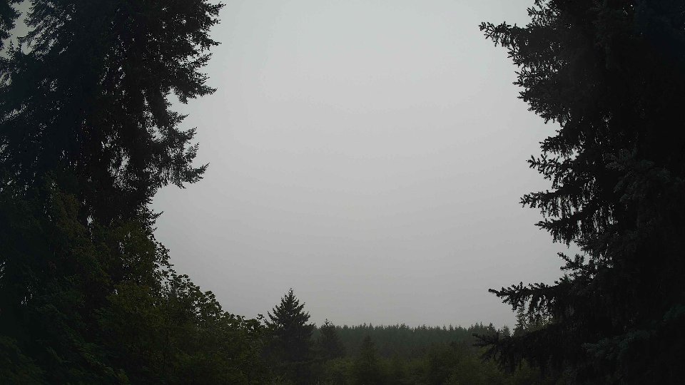
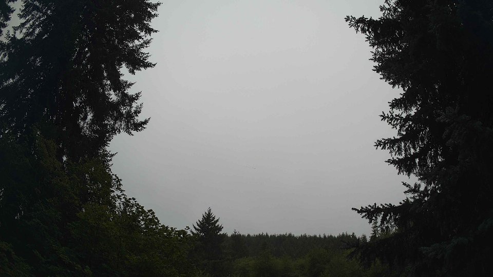
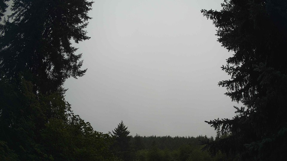
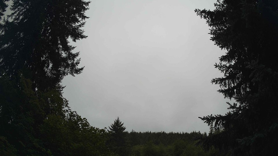
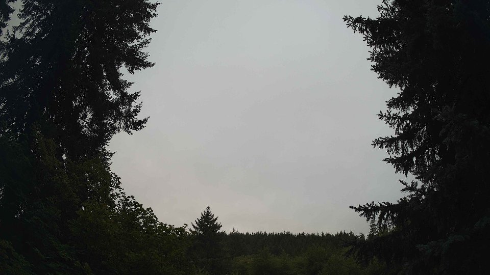
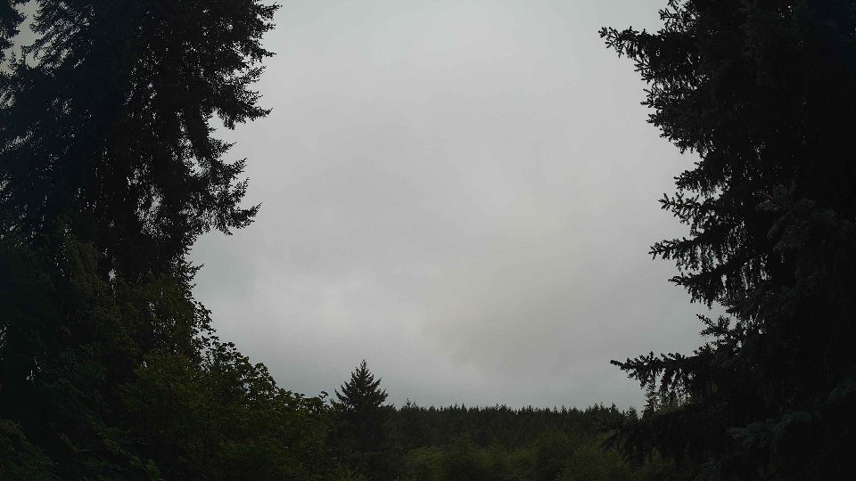
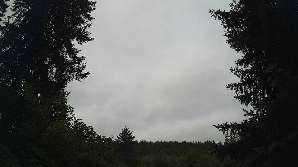
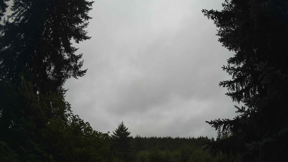
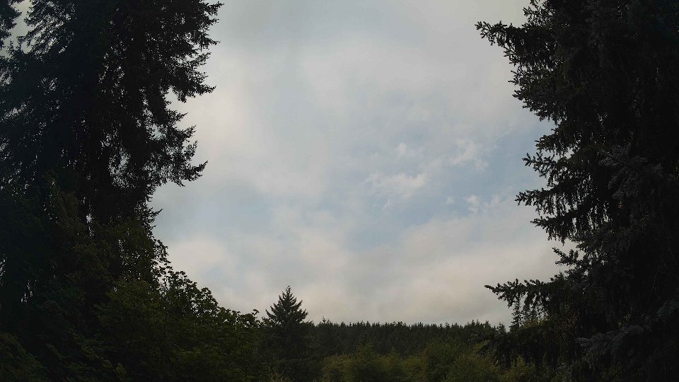
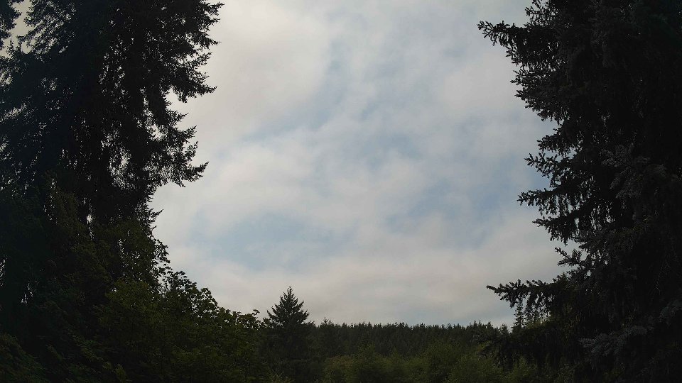
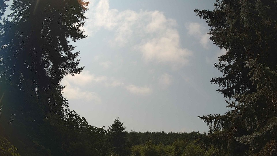
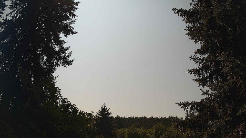
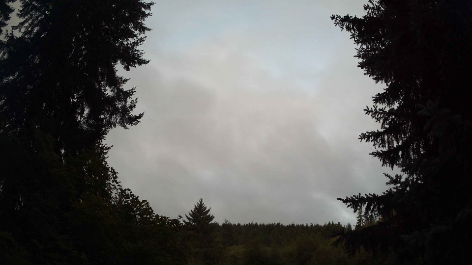
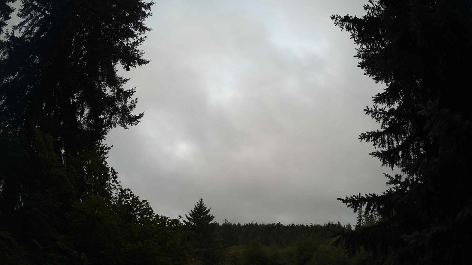
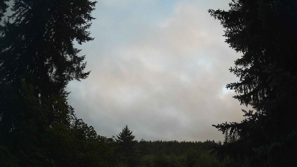
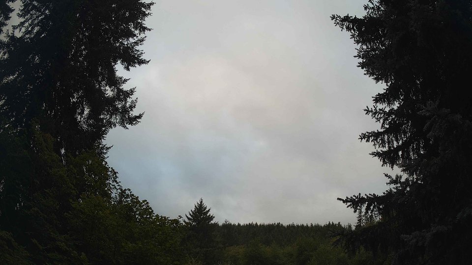
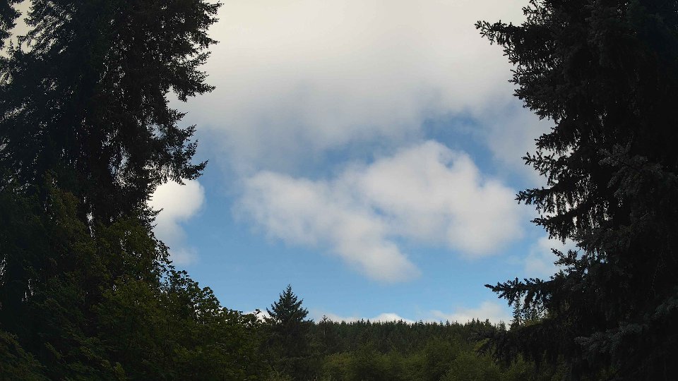
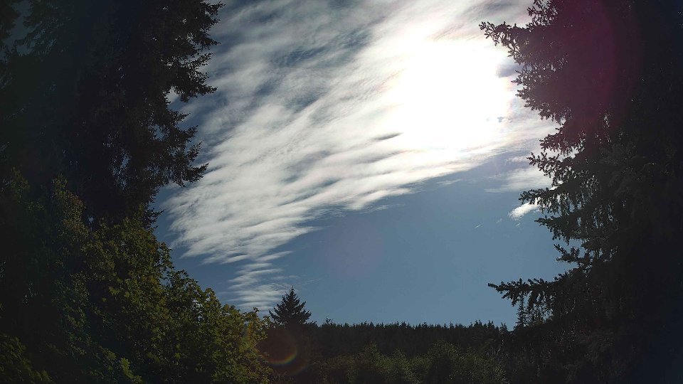
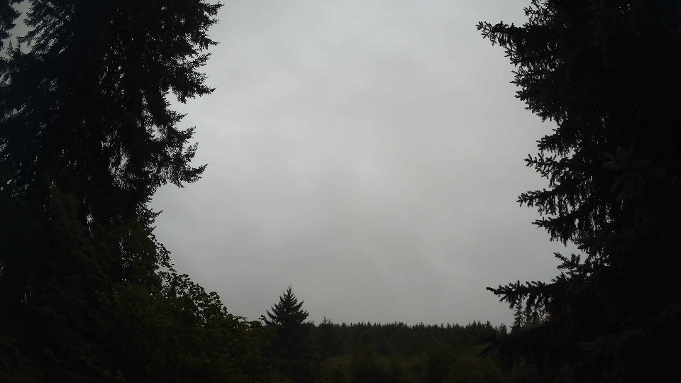
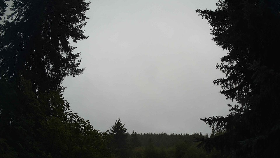
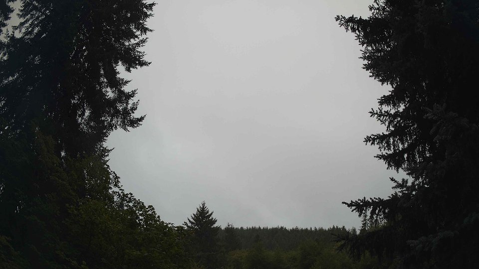
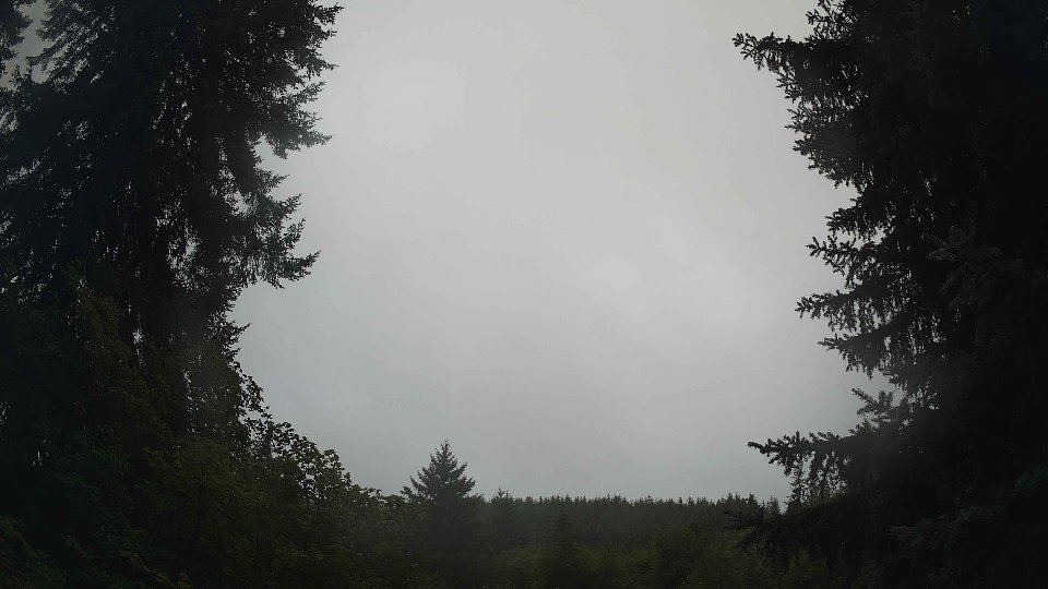
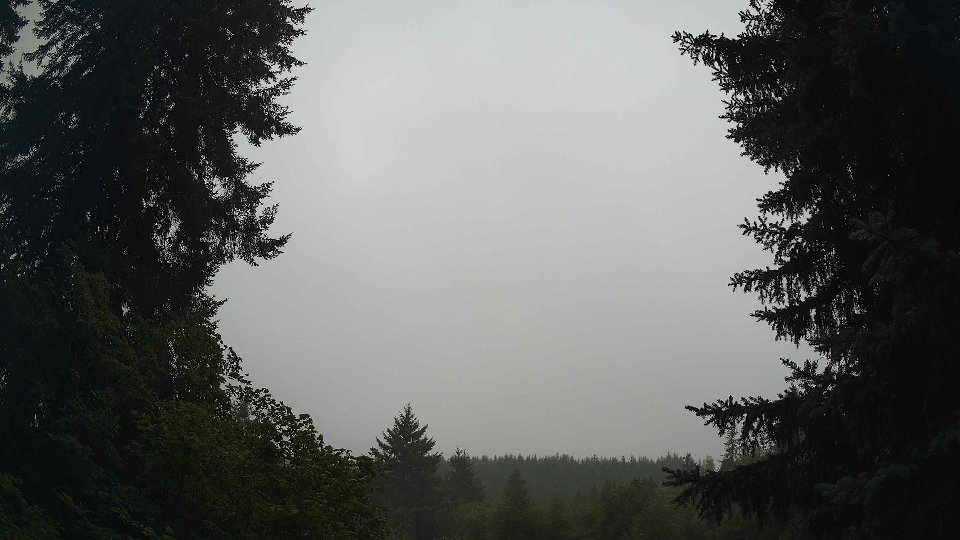
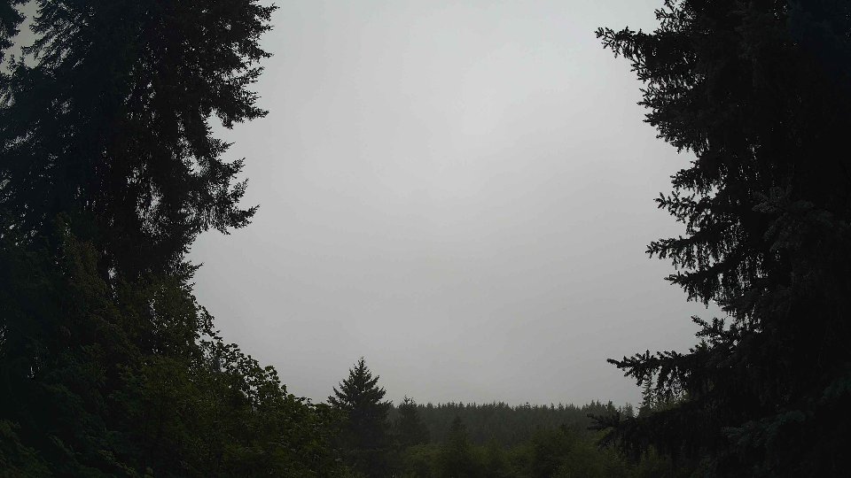
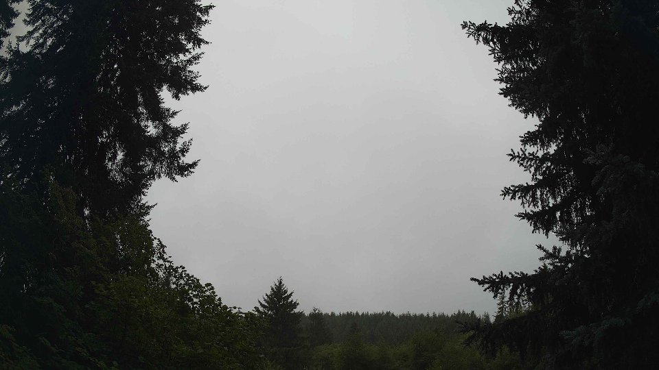
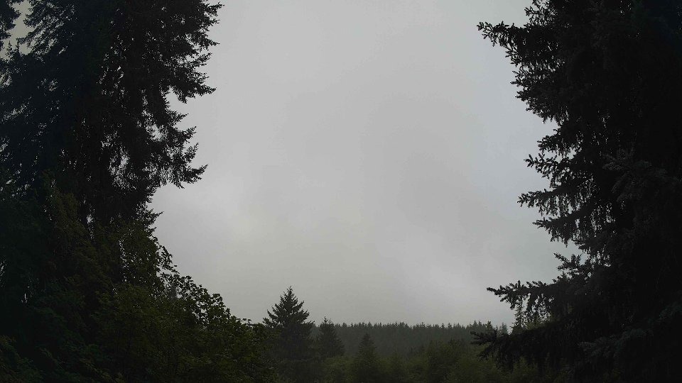
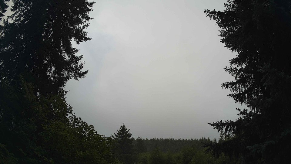
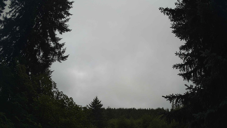
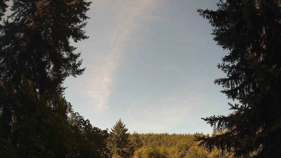
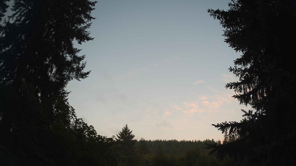
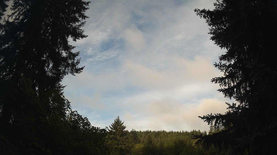
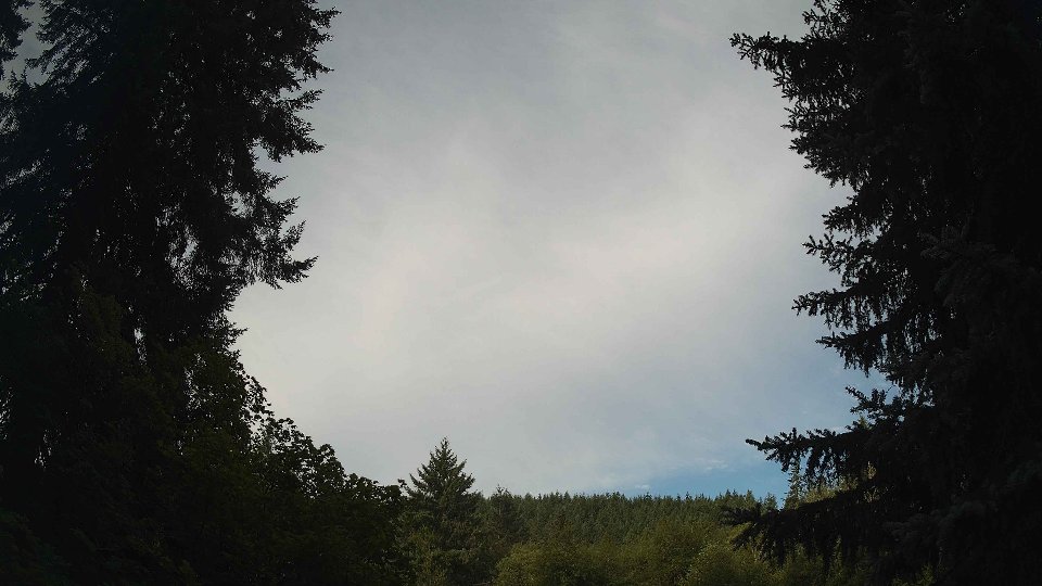
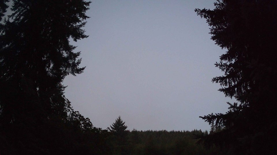
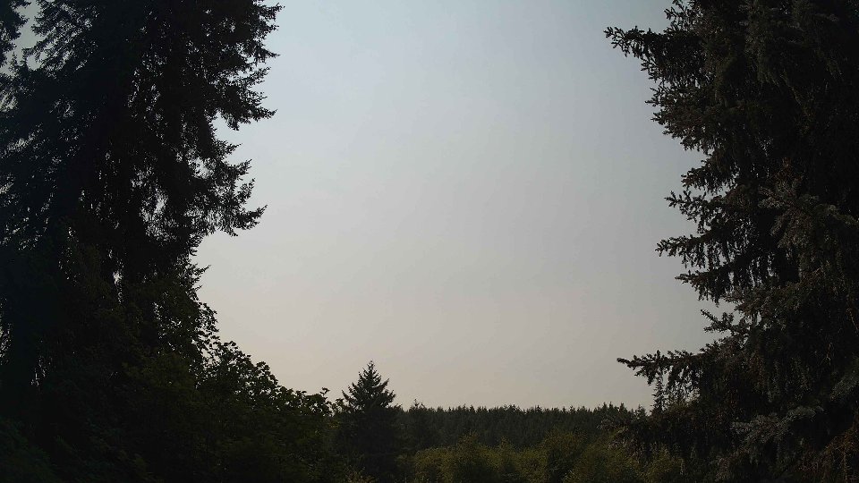
As the day progressed toward midday, the atmosphere began to shift subtly. Surface winds increased to an average of 3.0 mph, while winds at 100 meters rose to 4.0 mph, both still relatively calm but indicating a slight strengthening of the flow. The cloud cover decreased to an average of 84.2%, as low clouds dropped to 80% and mid-level clouds to 13.8%, suggesting that the upper layers were thinning slightly. The gentle wind movement at 100 meters likely helped stir the clouds, causing some to evaporate or shift, which led to the occasional glimpse of blue sky, although the atmosphere remained mostly overcast. The light rain continued with an additional 0.06 inches of precipitation, hinting that the moisture in the air was still significant. The interaction between the surface and aloft winds introduced some minor wind shear, creating a few wobbly, fast-moving cloud formations that added depth to the layered sky.
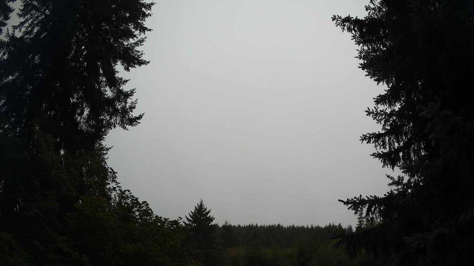
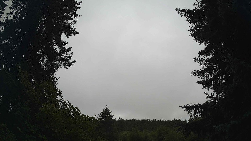
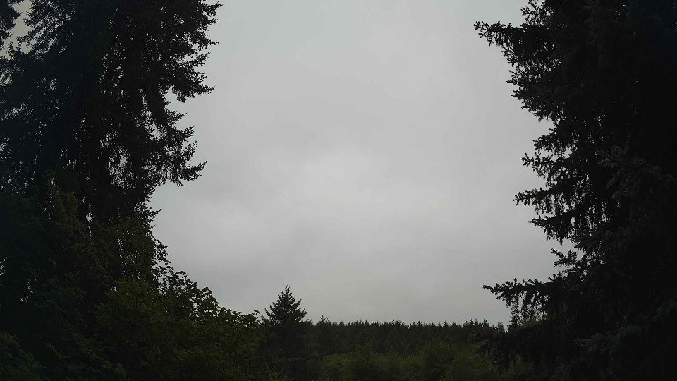
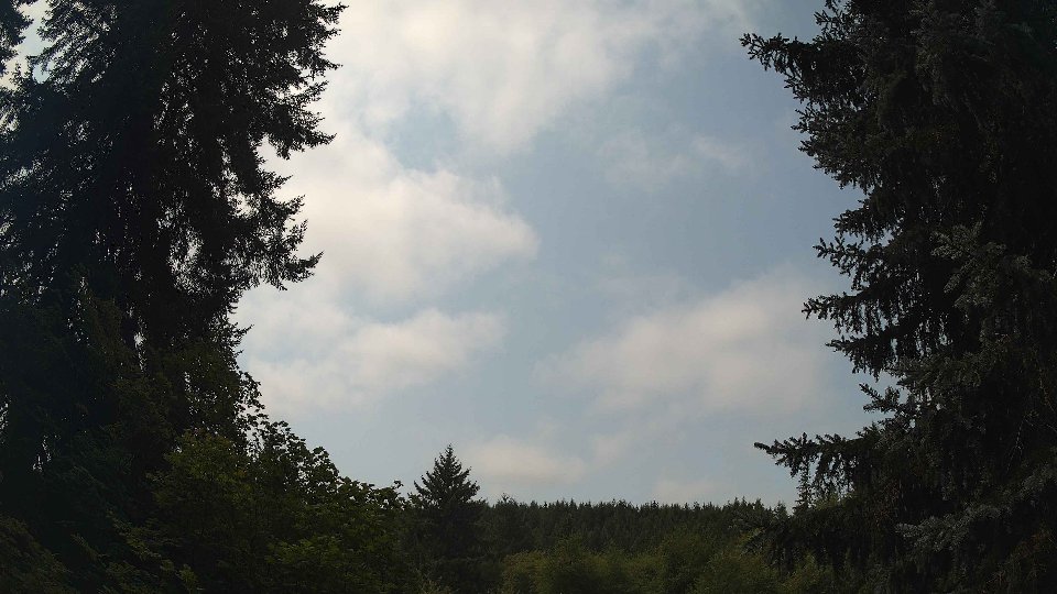
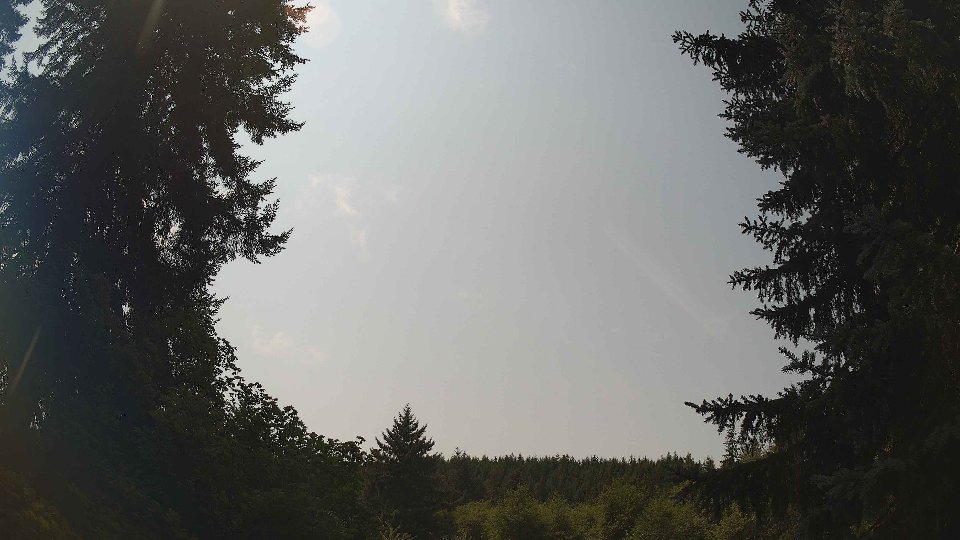
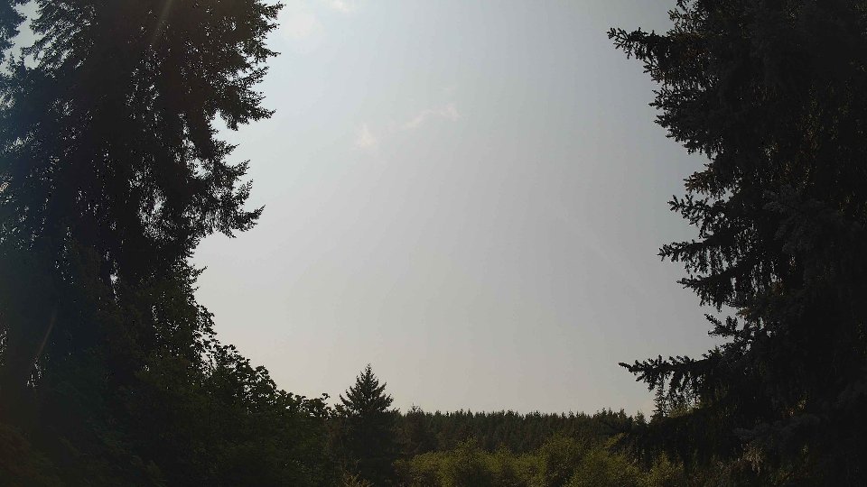
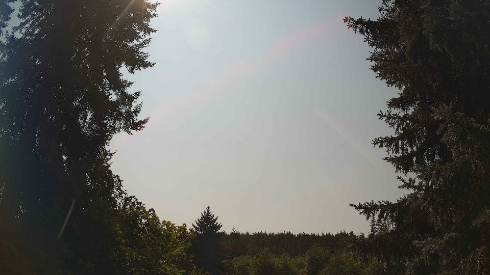
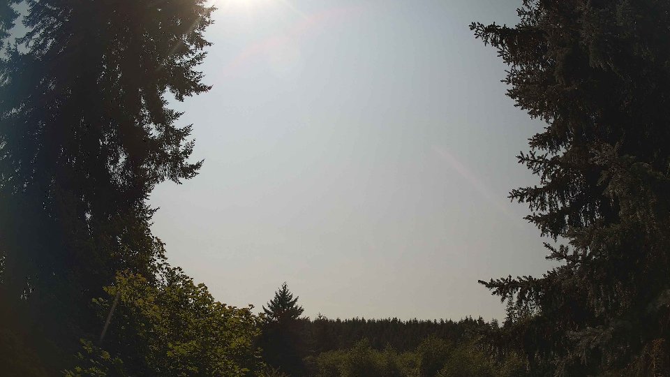
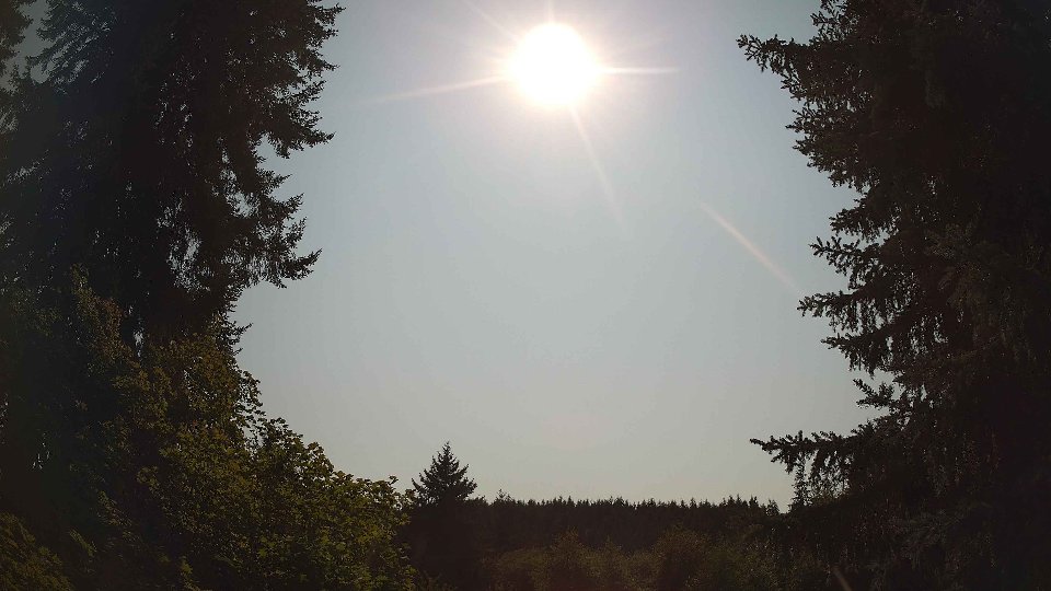
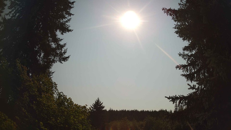
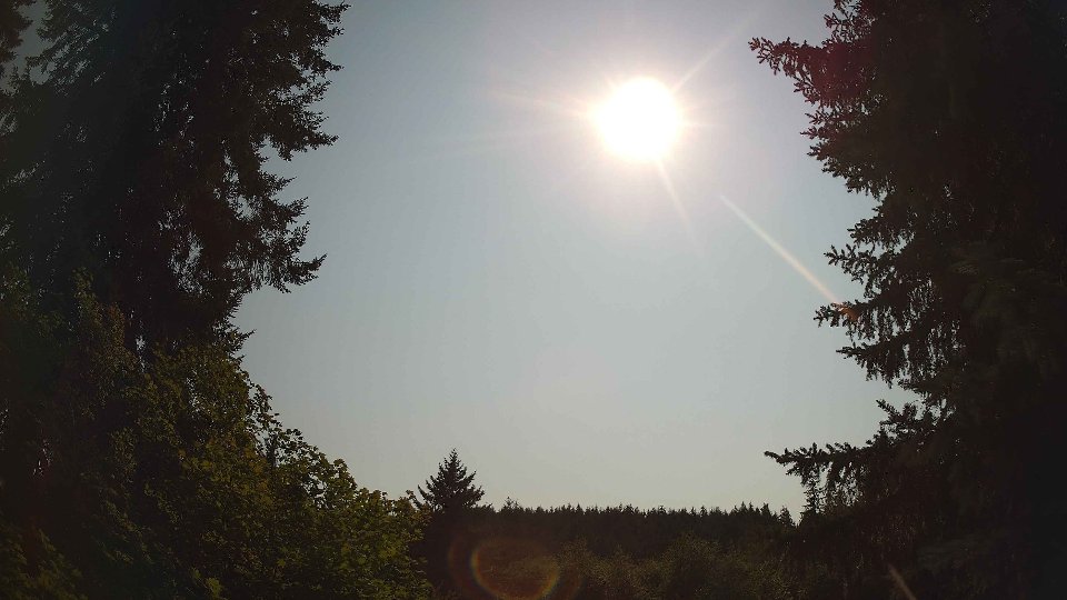
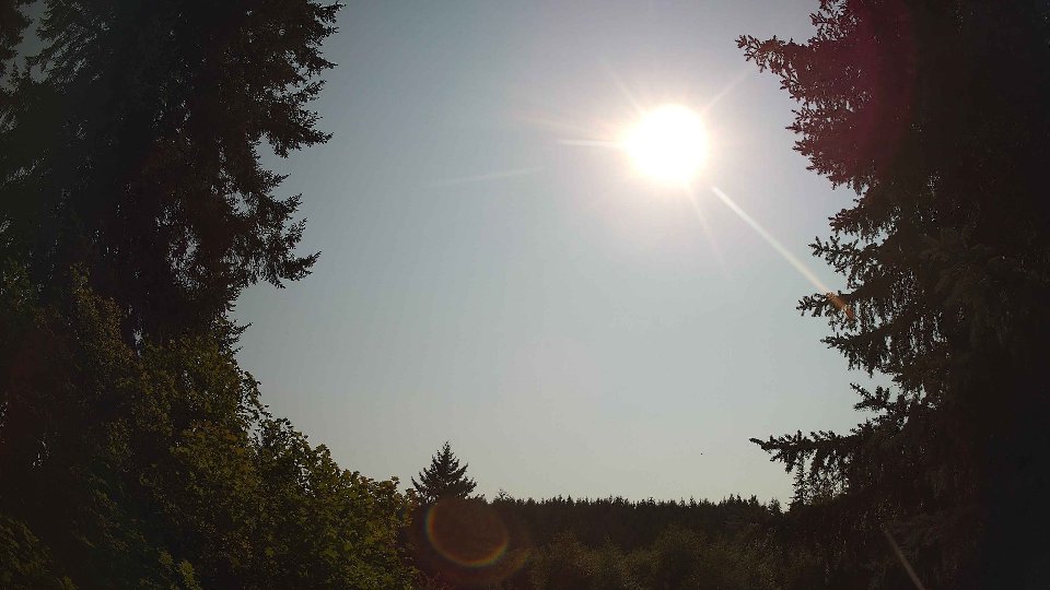
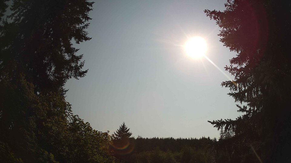
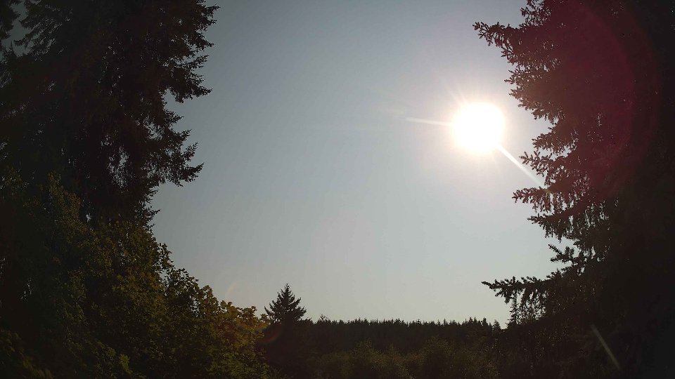
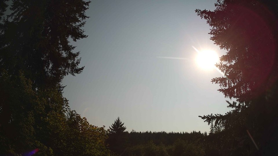
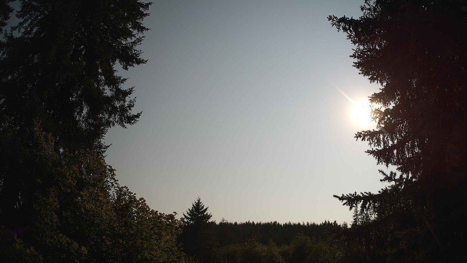
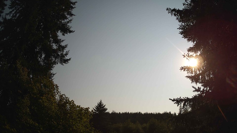
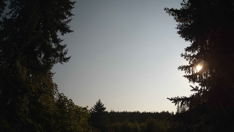
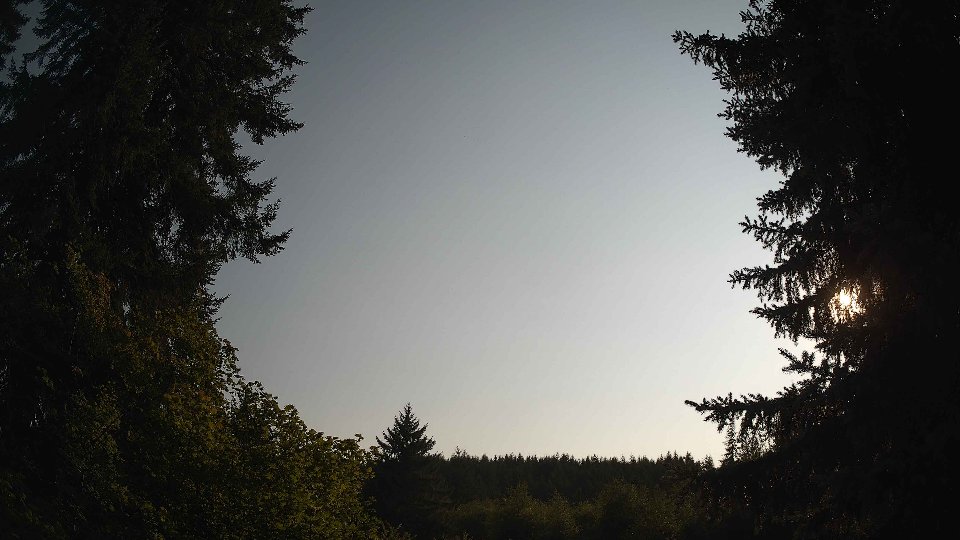
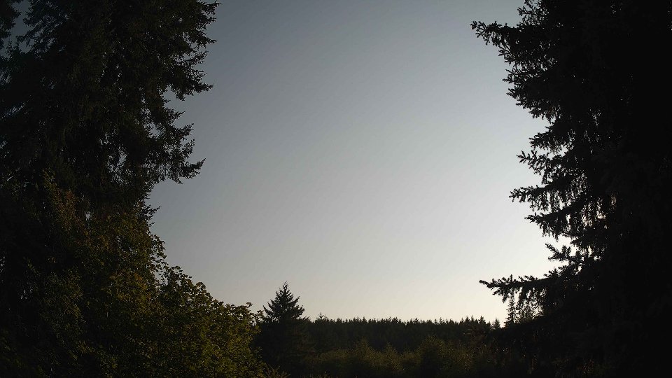
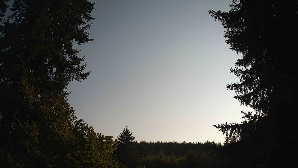
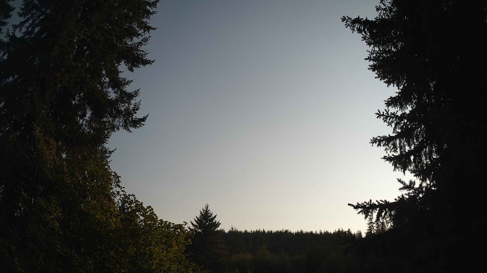
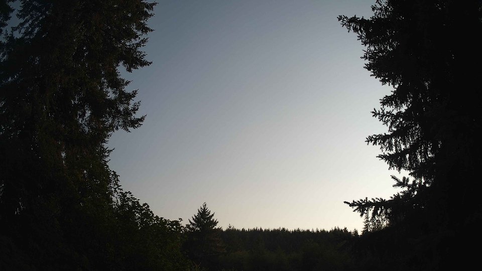
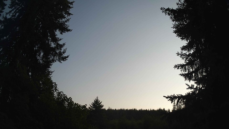
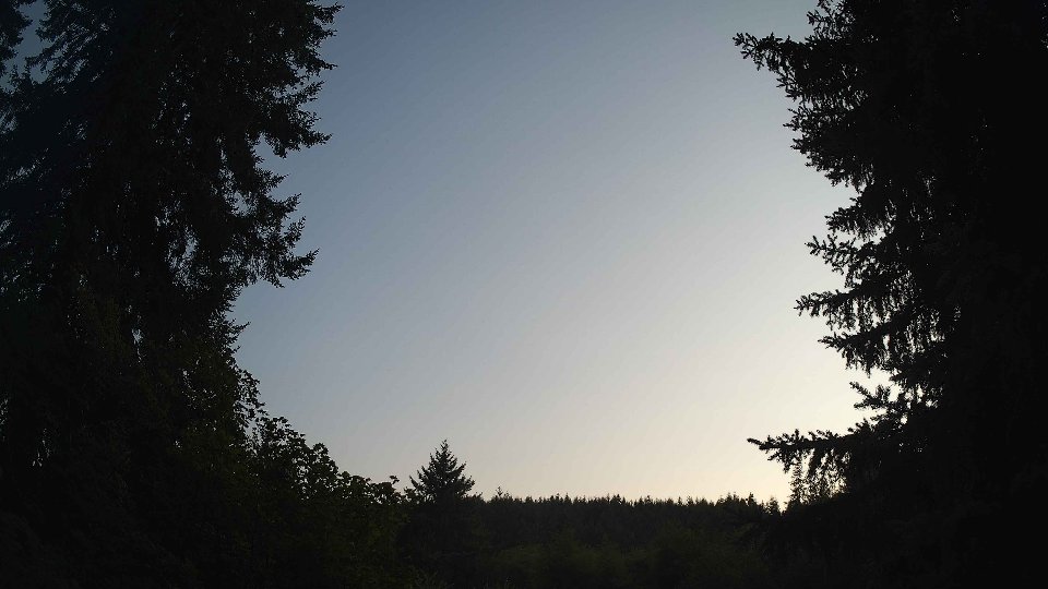
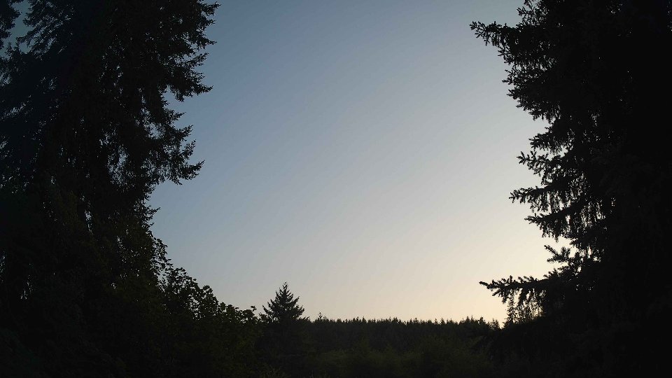
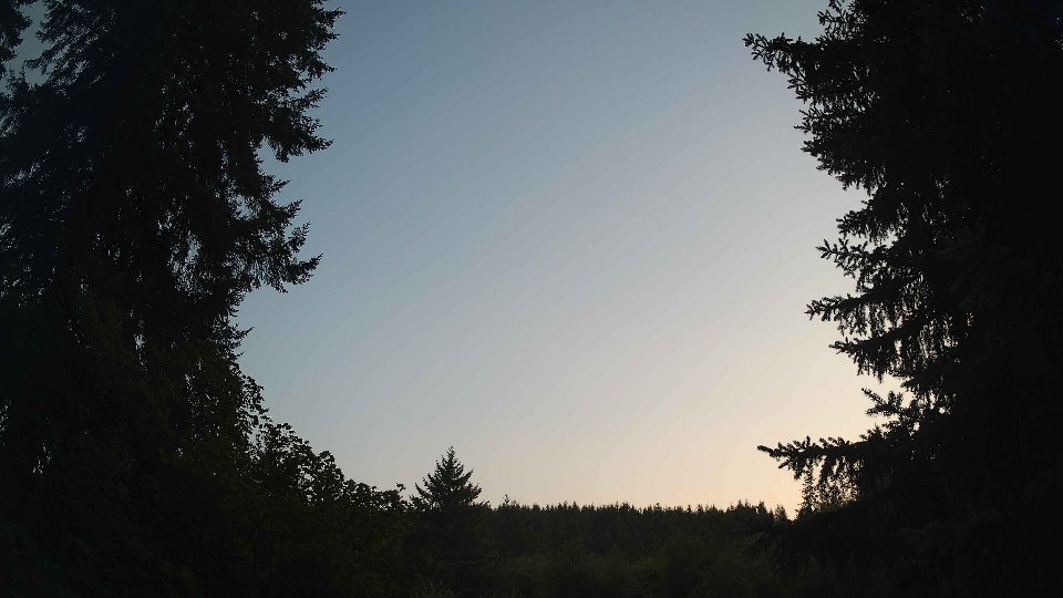
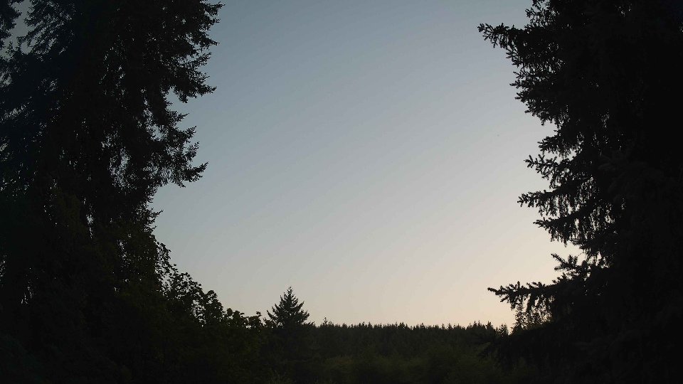
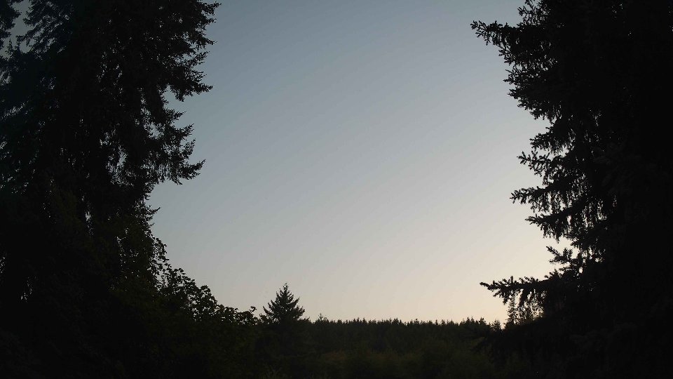
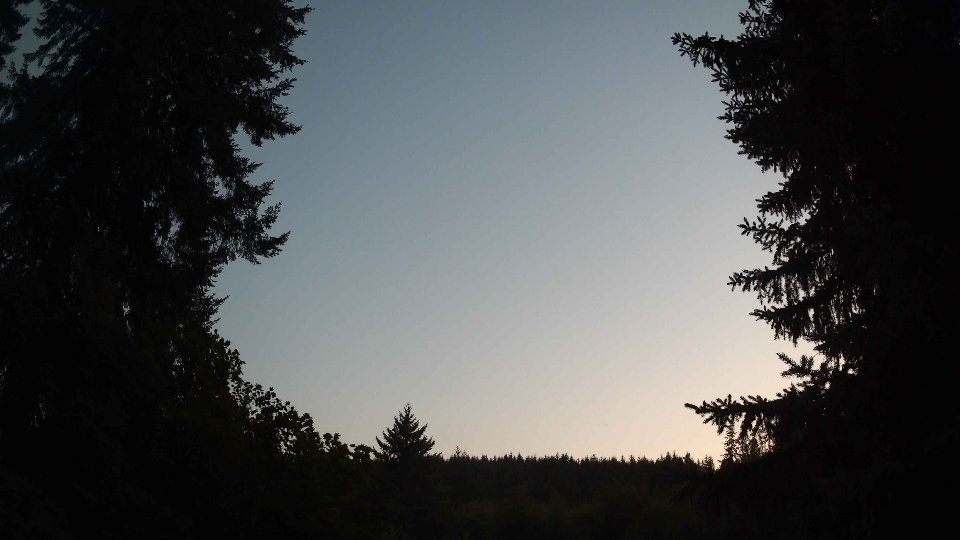
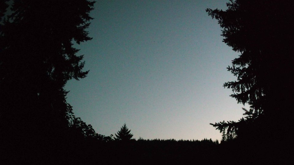
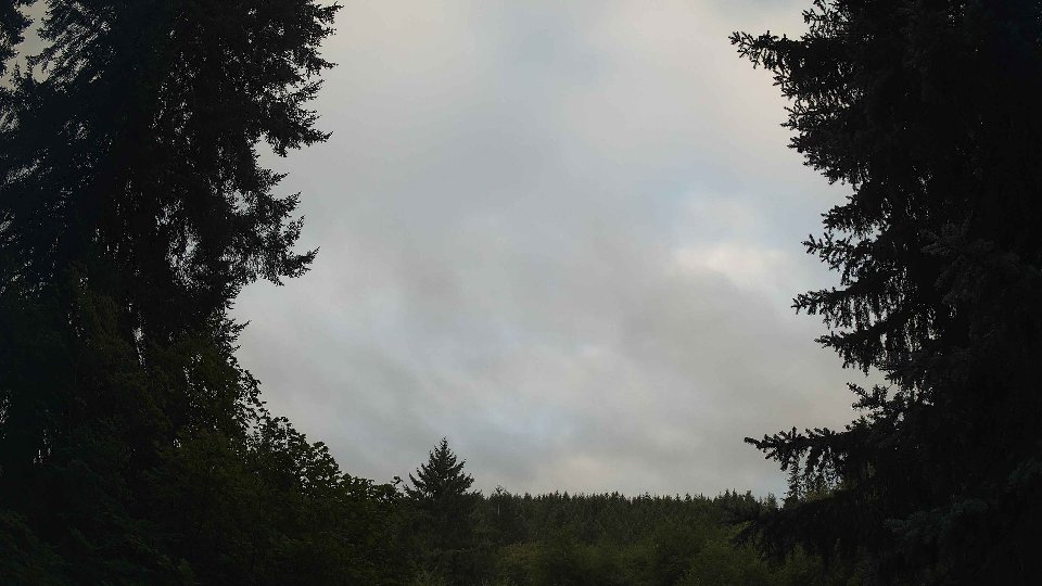
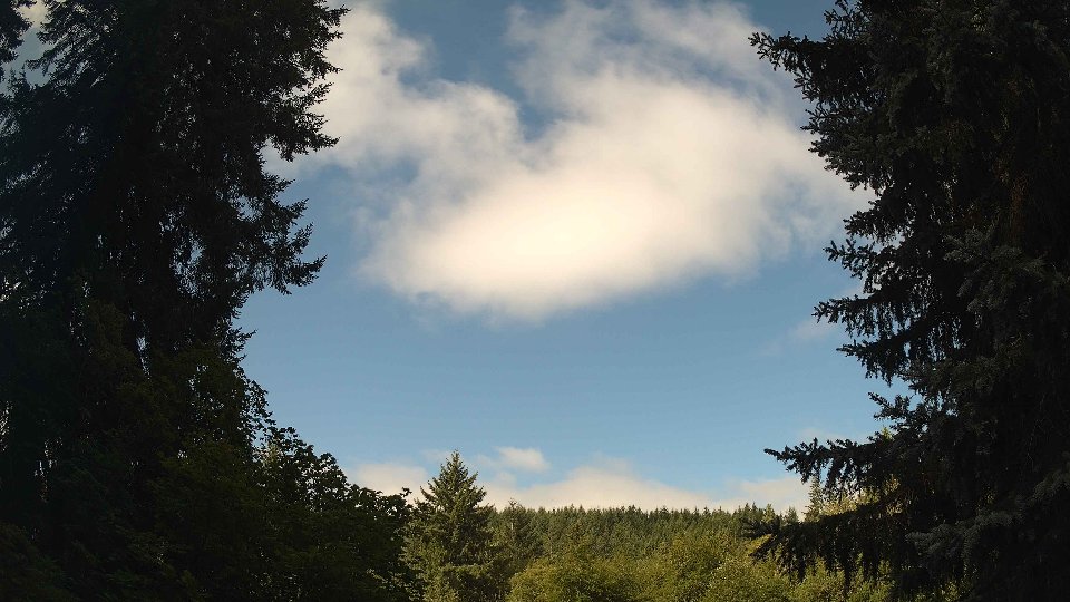
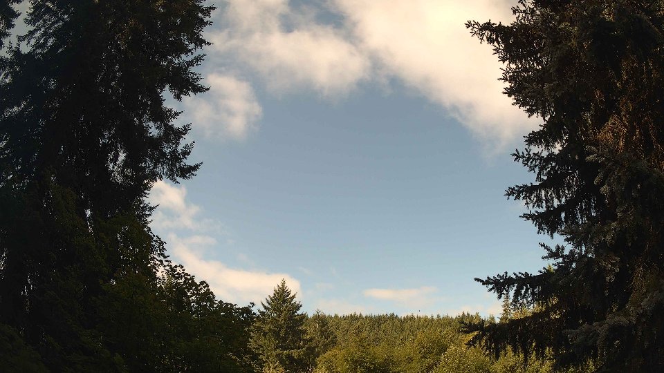
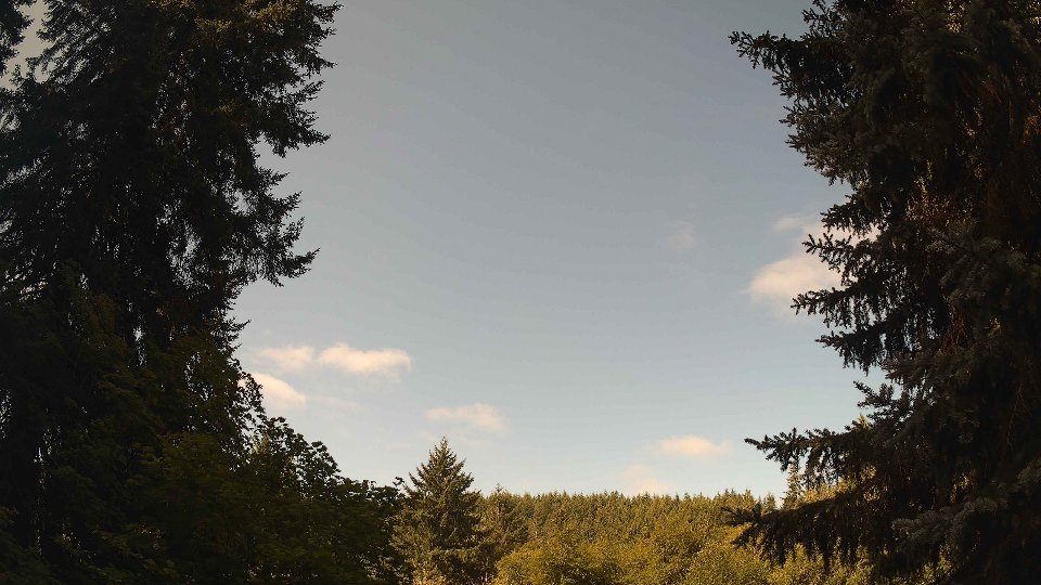
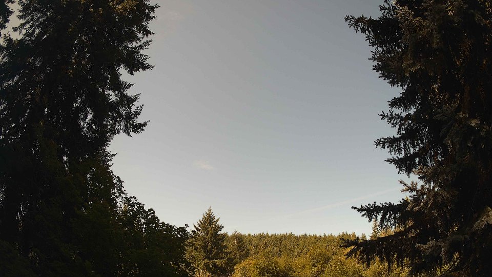
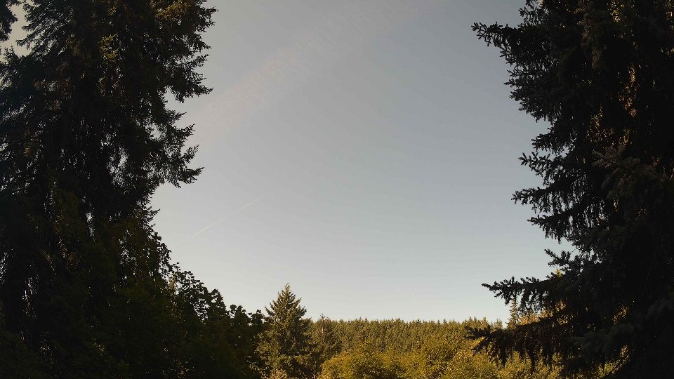
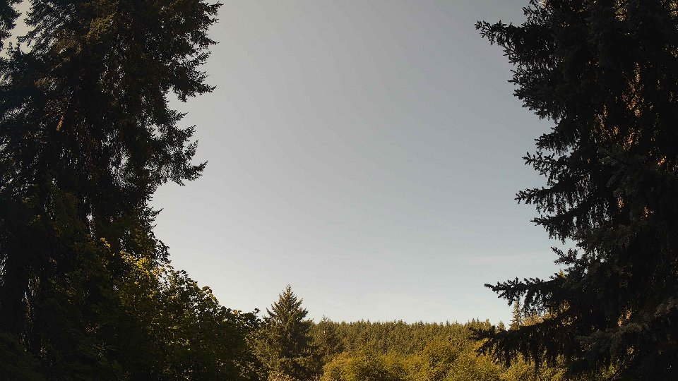
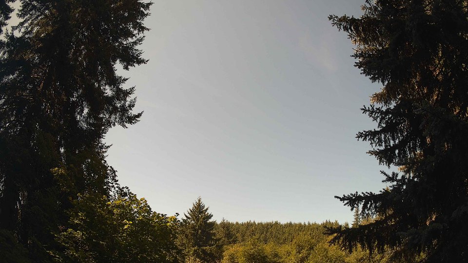
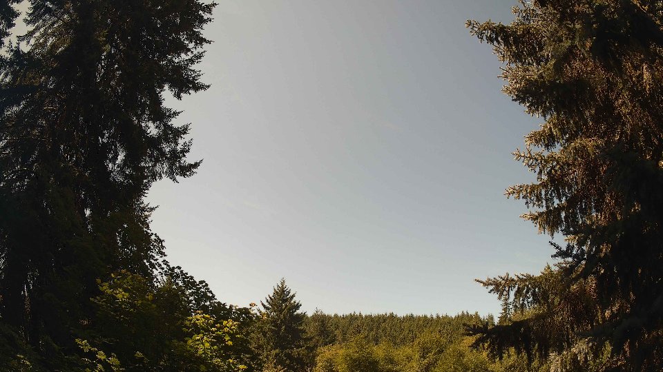
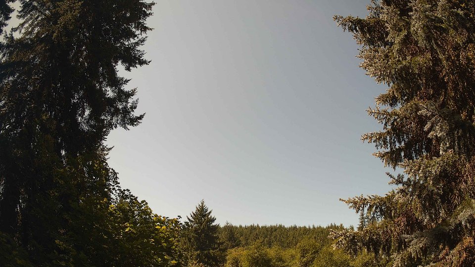
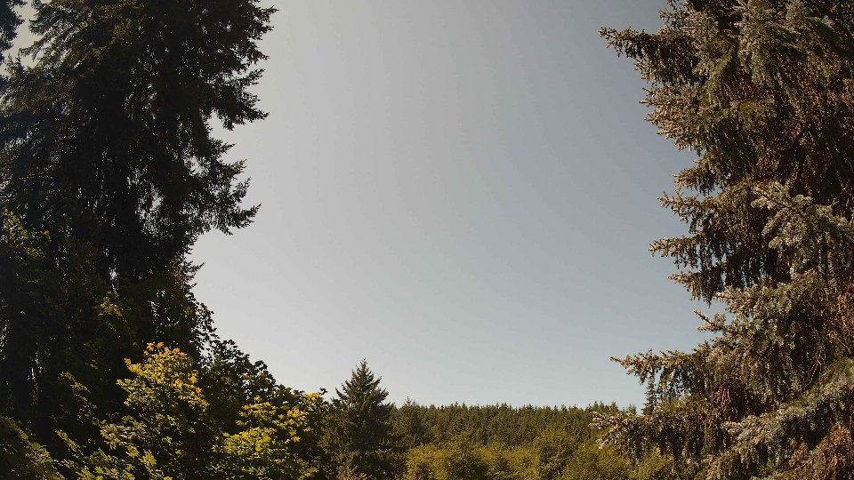
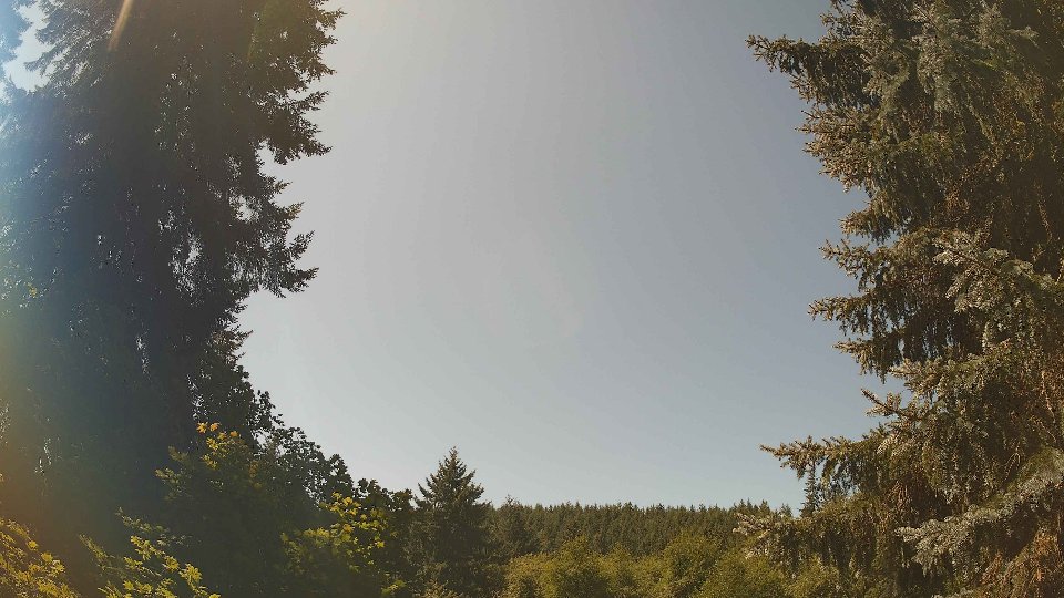
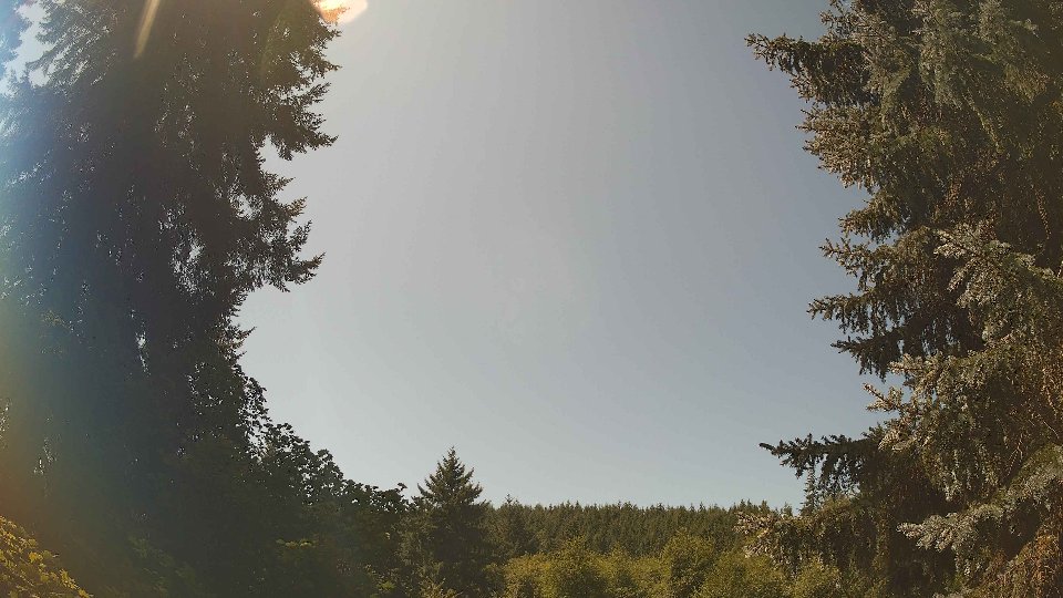
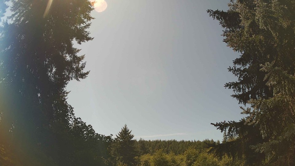
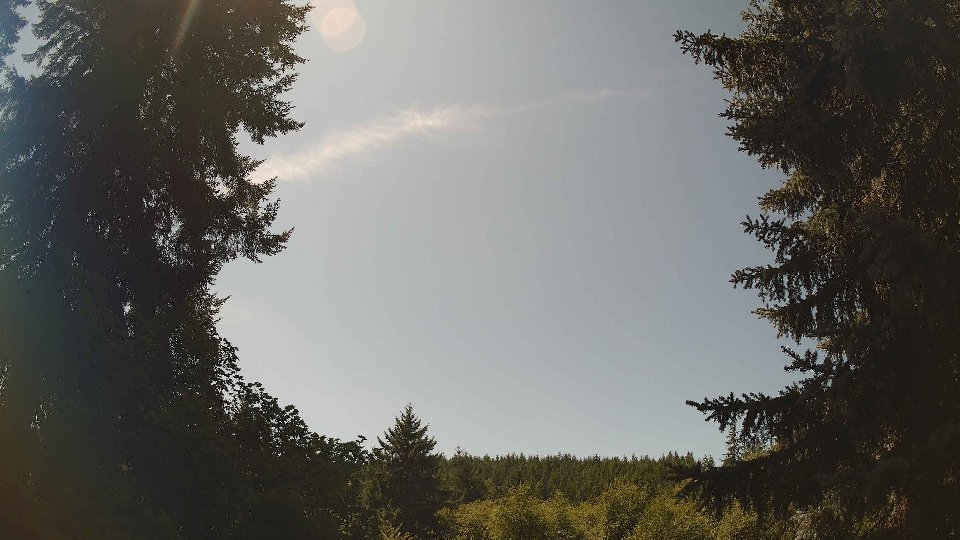
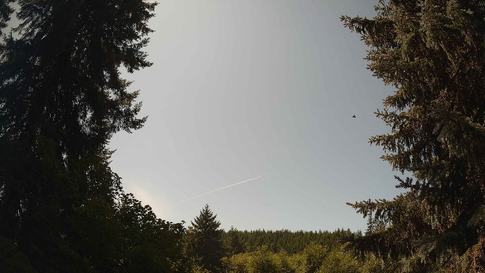
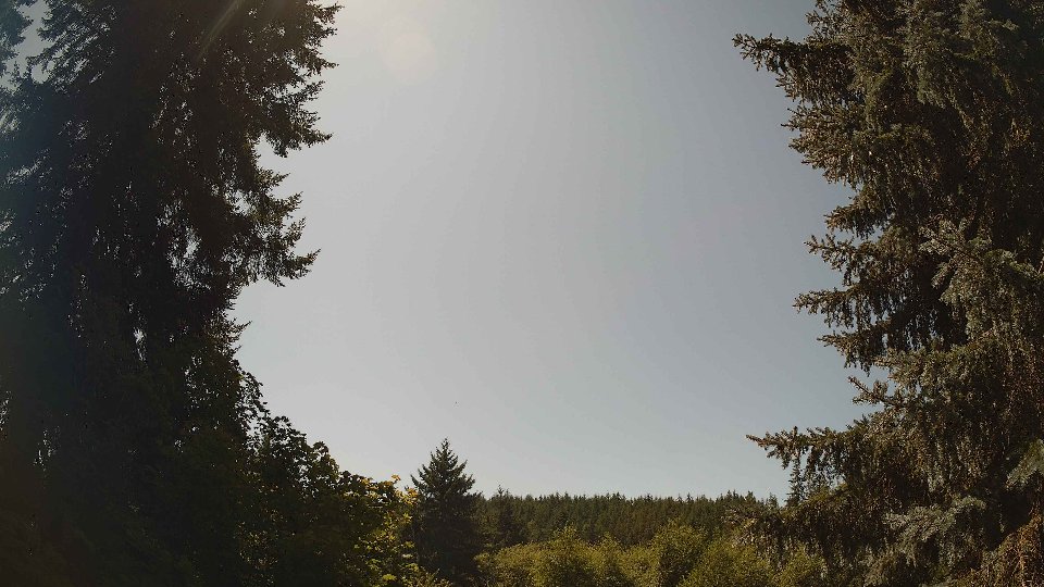
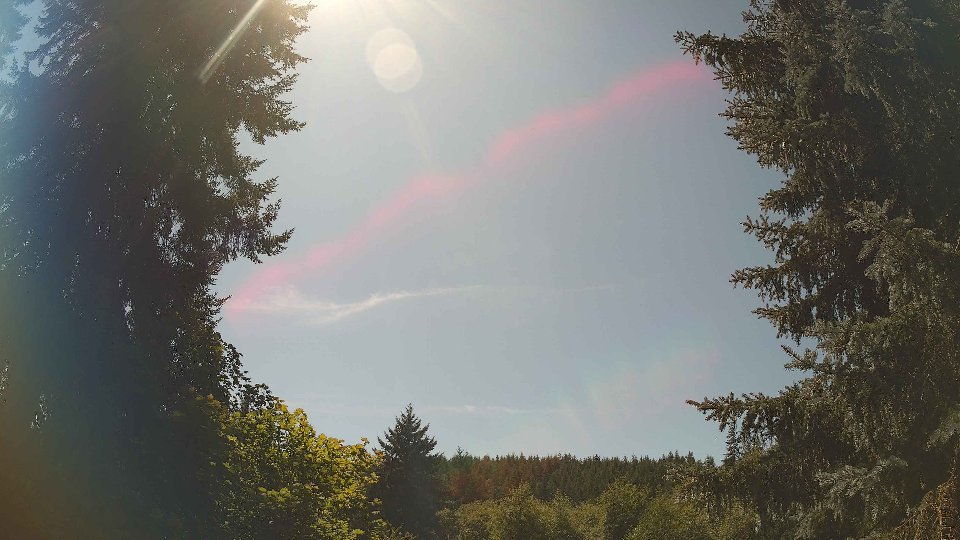
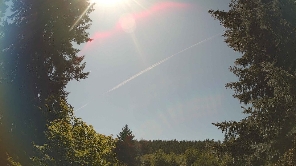
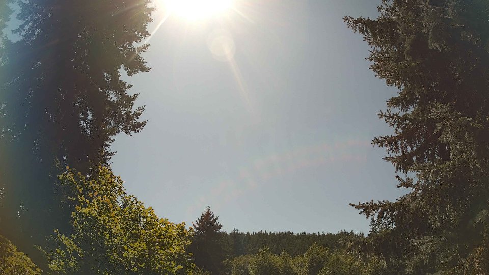
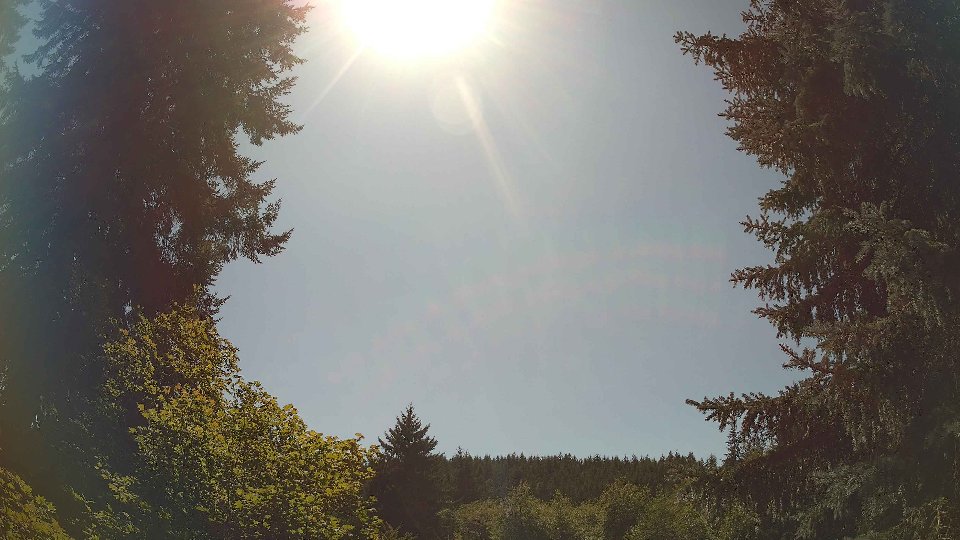
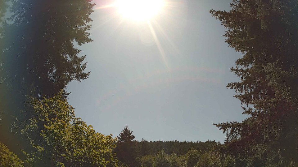
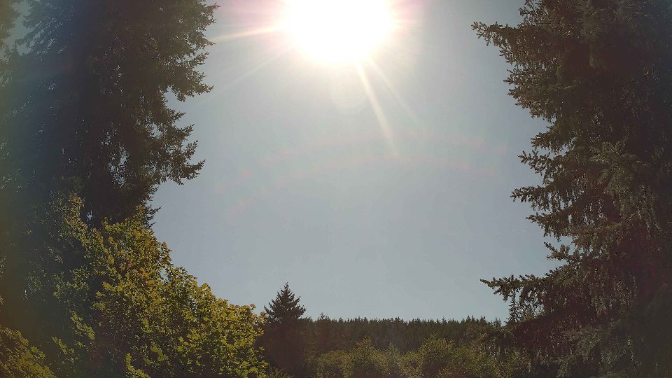
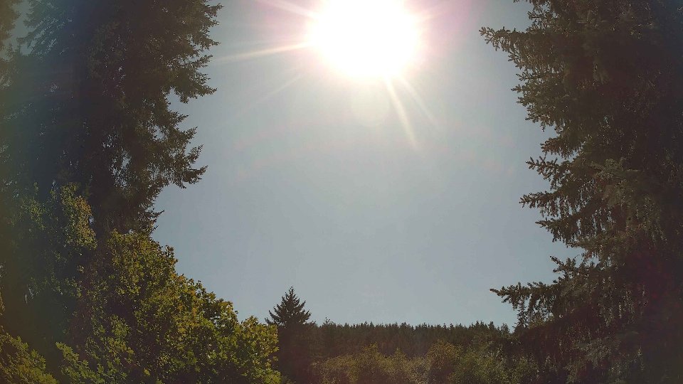
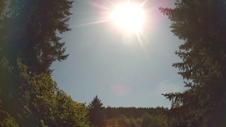
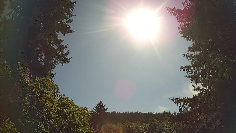
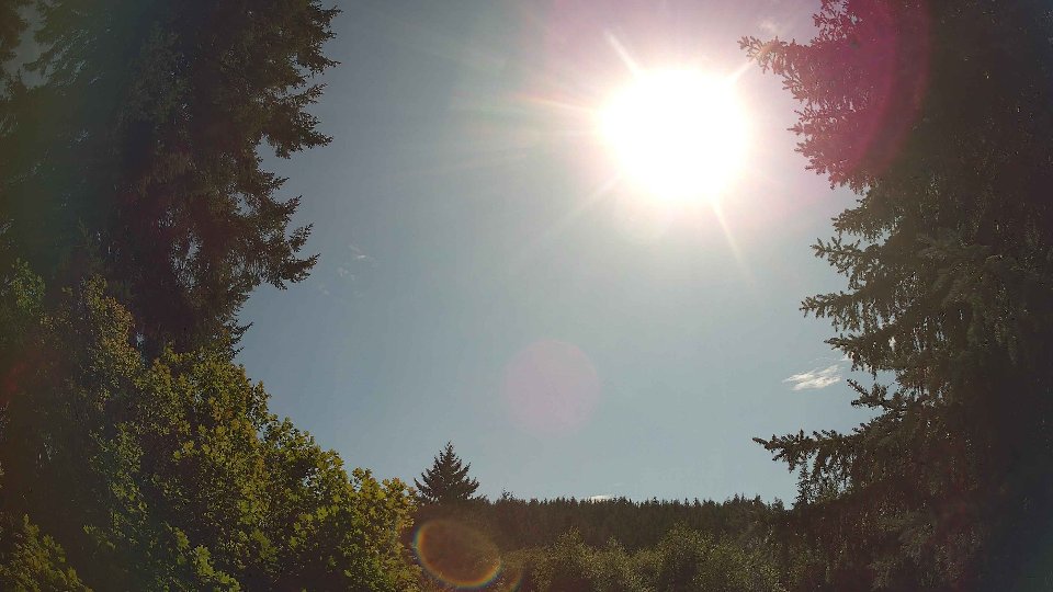
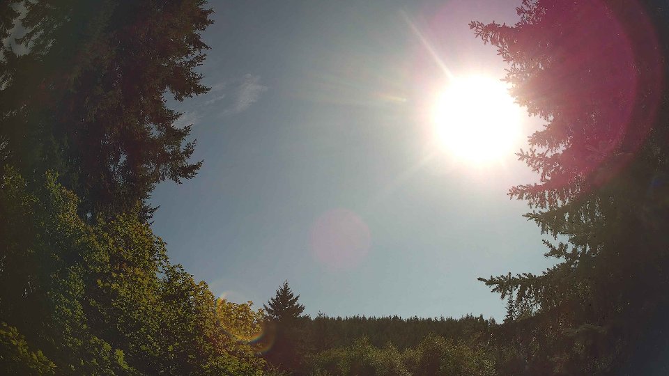
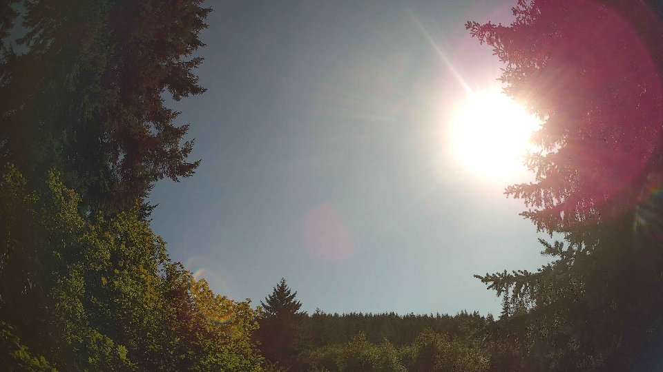
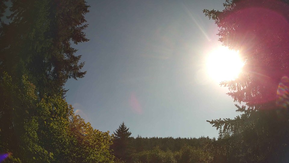
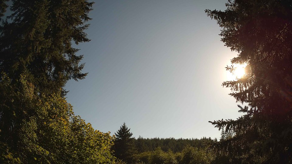
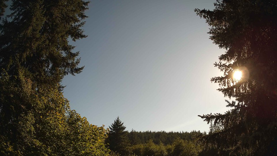
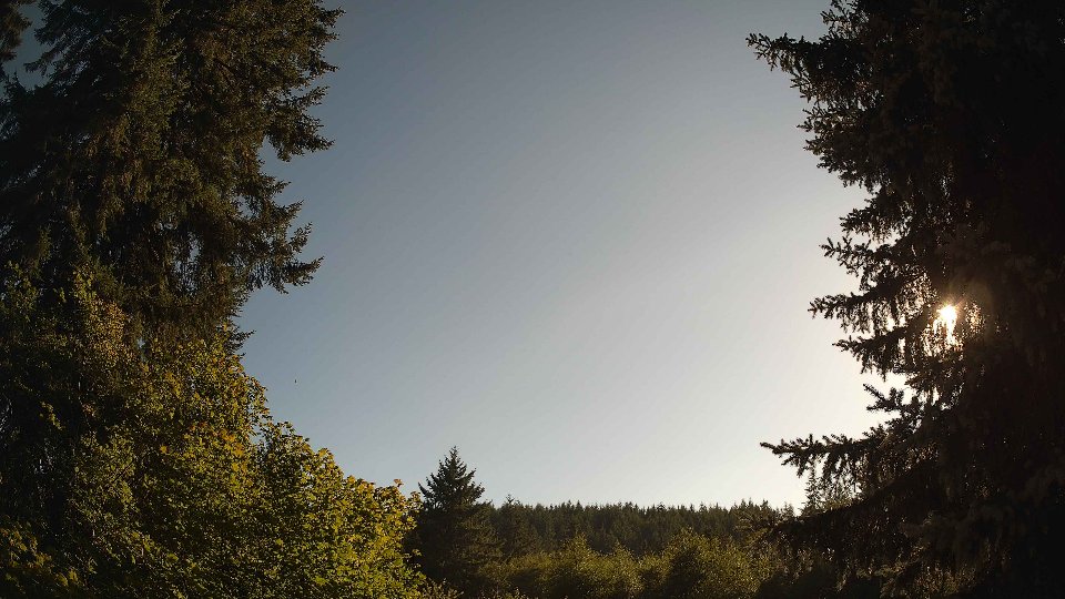
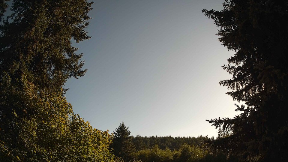
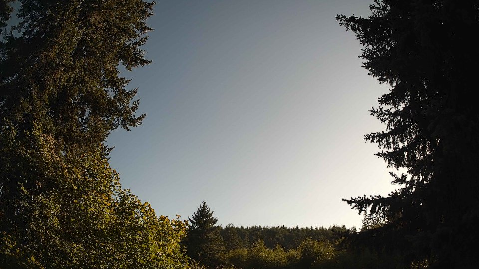
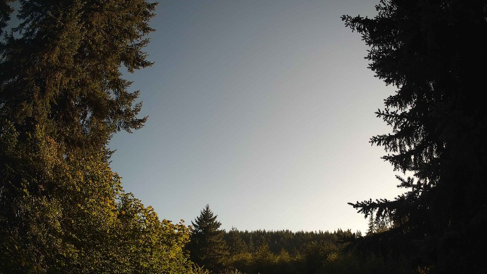
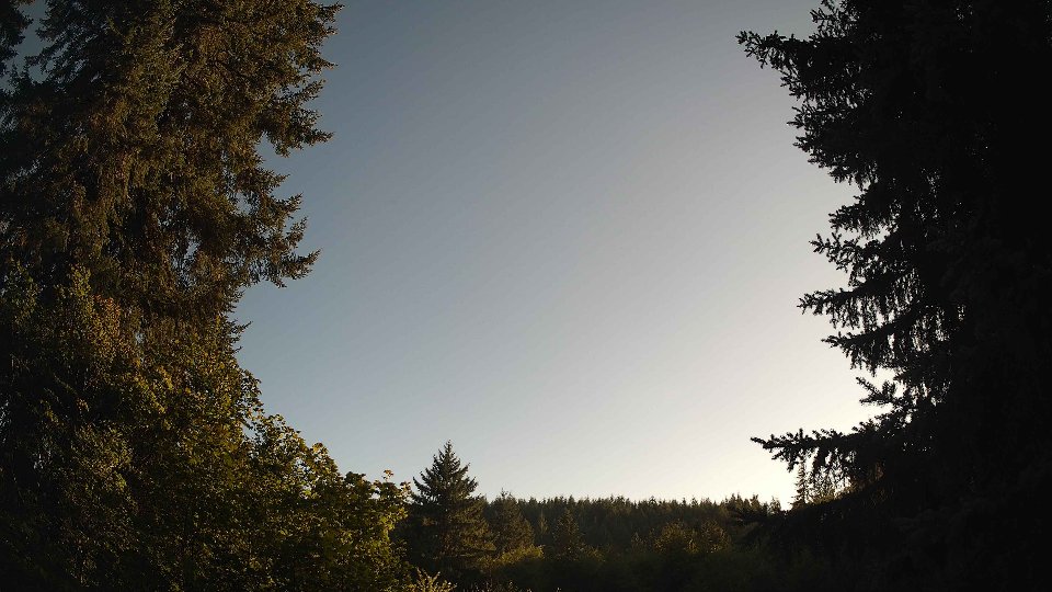
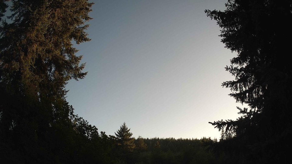
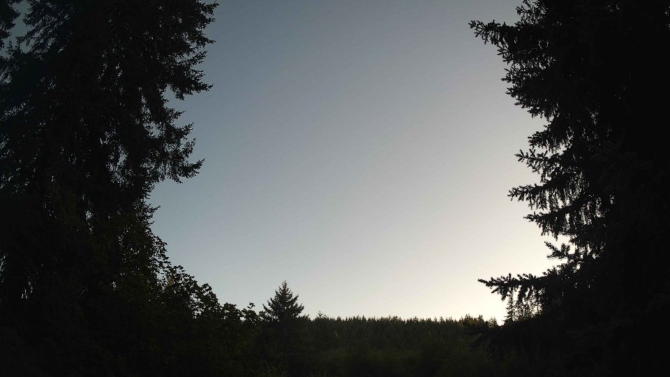
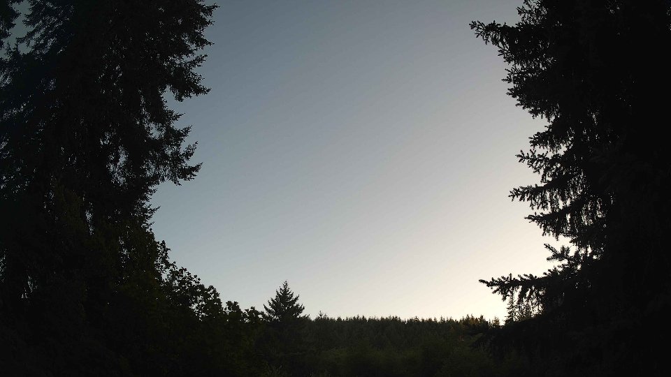
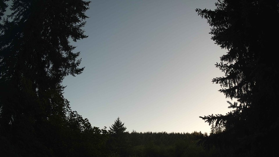
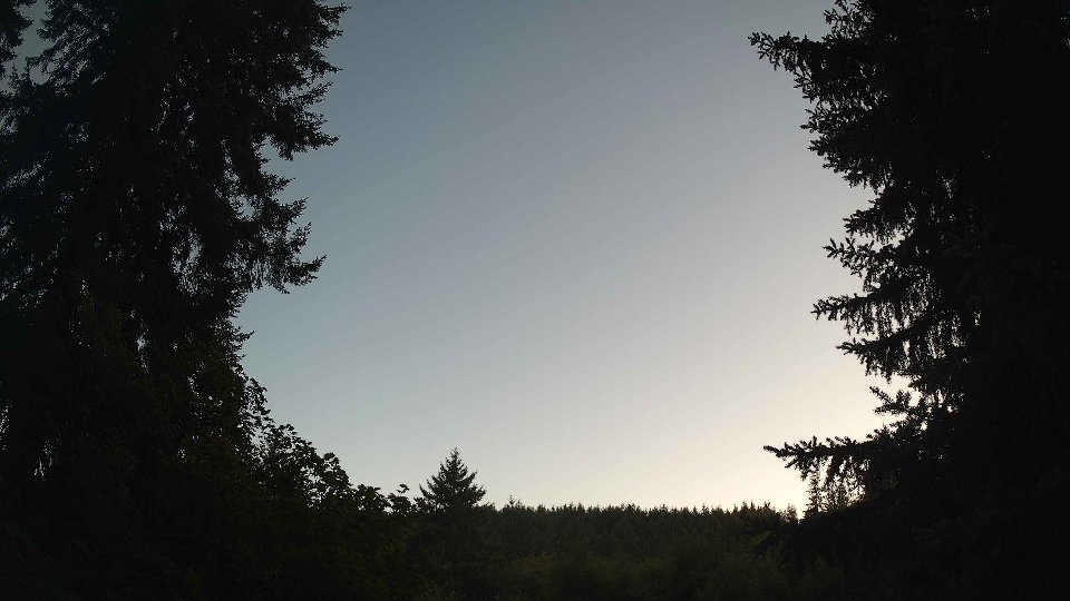
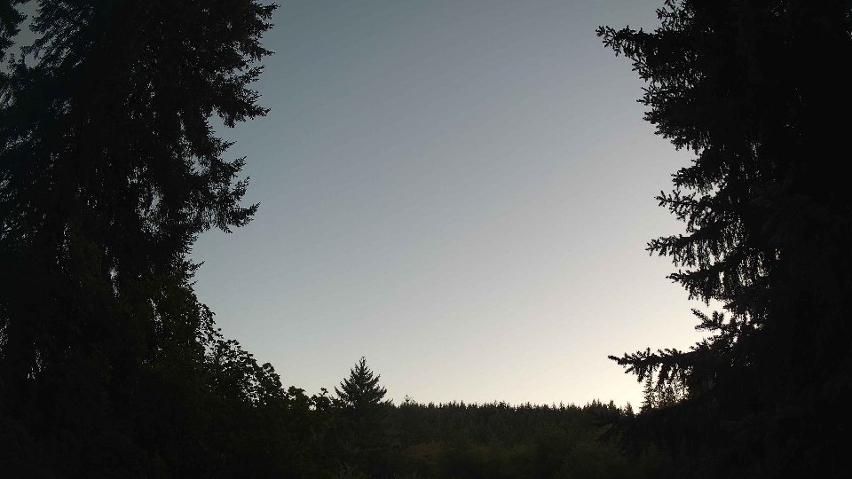
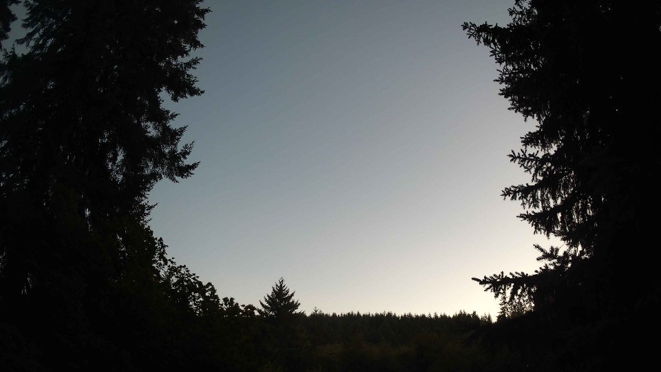
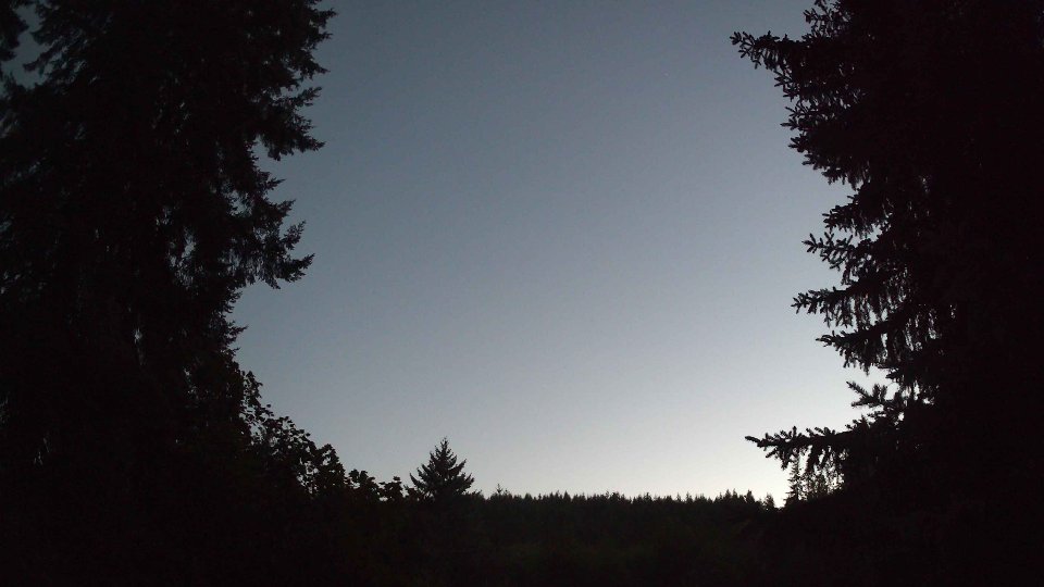
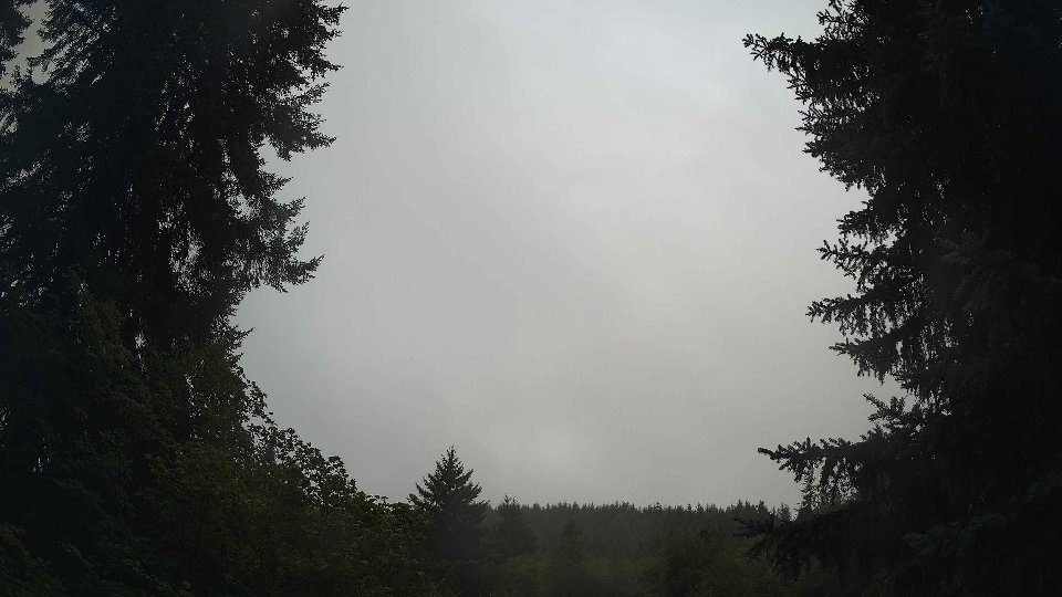
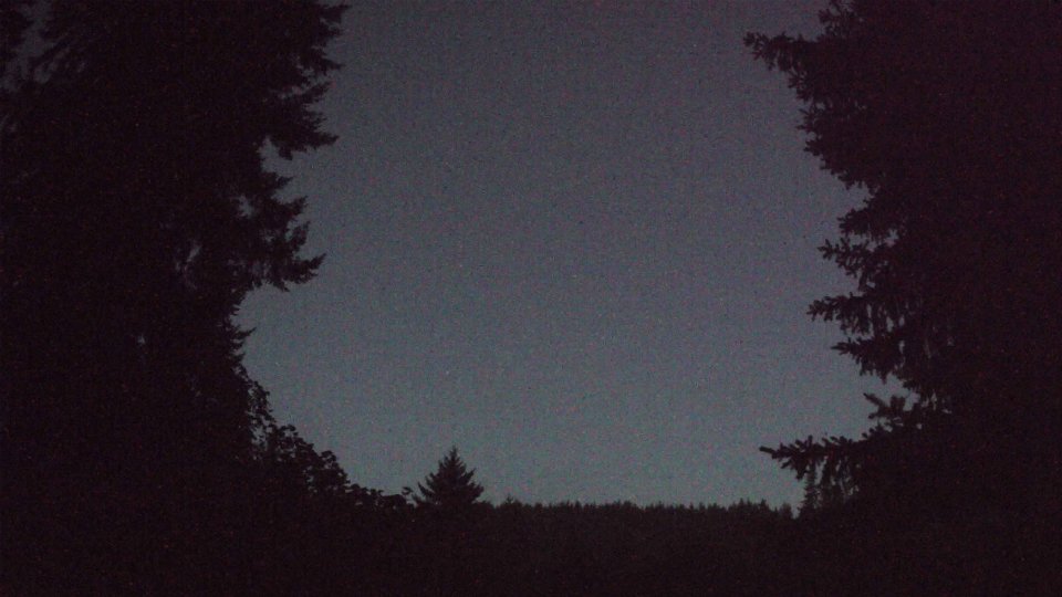
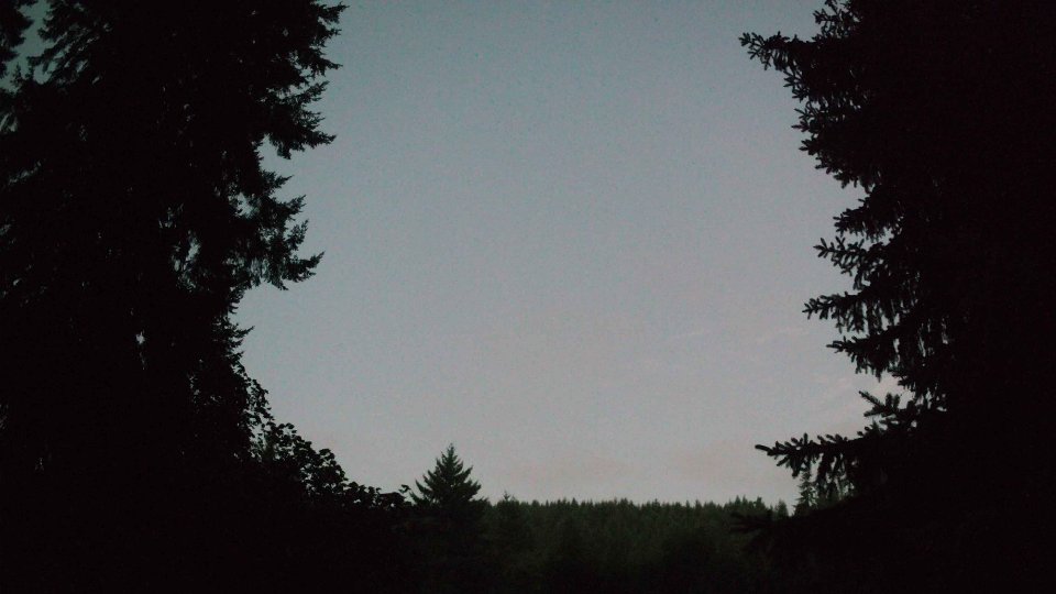
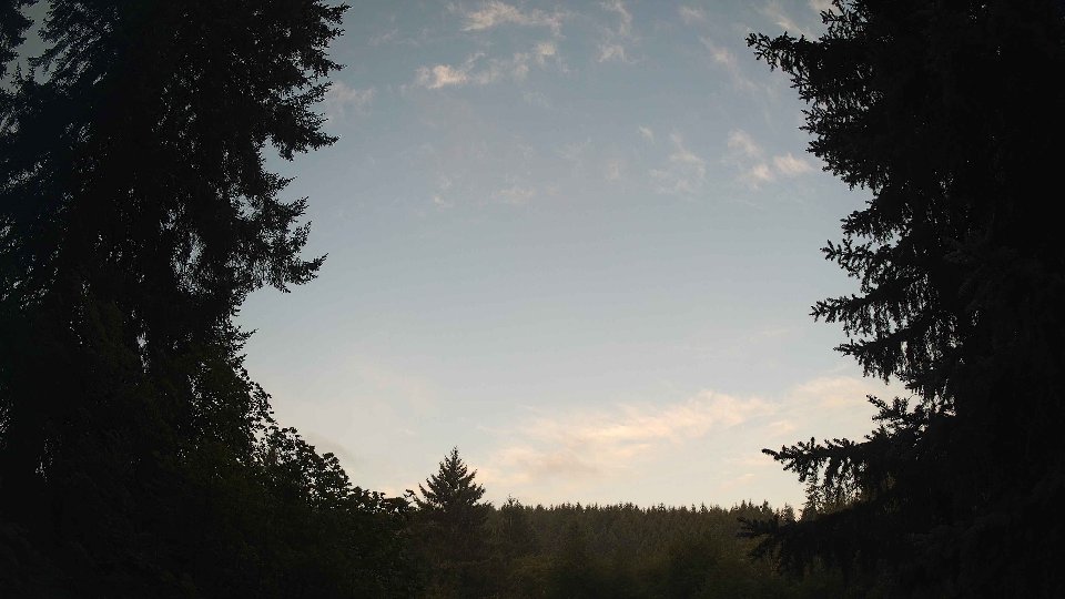
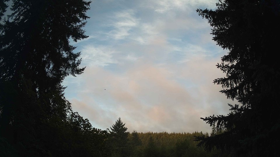
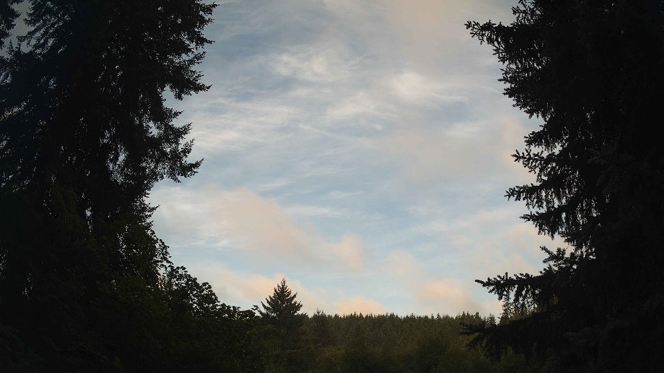
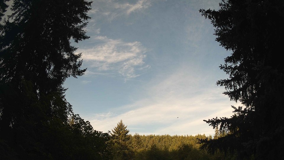
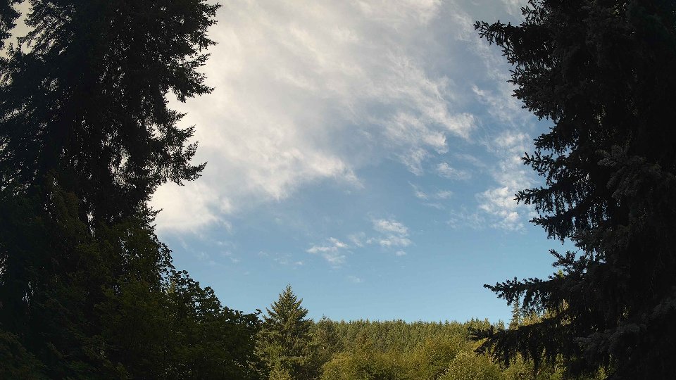
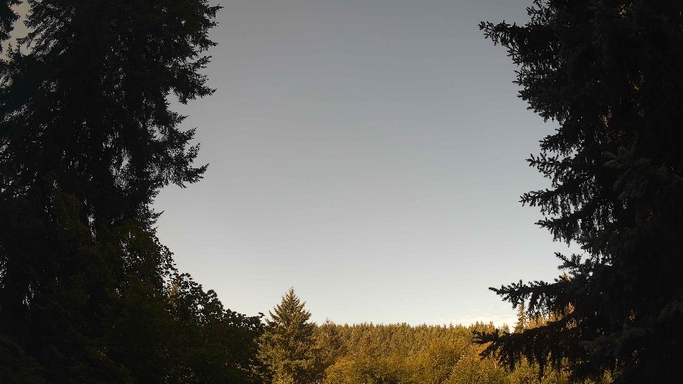
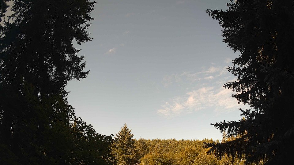
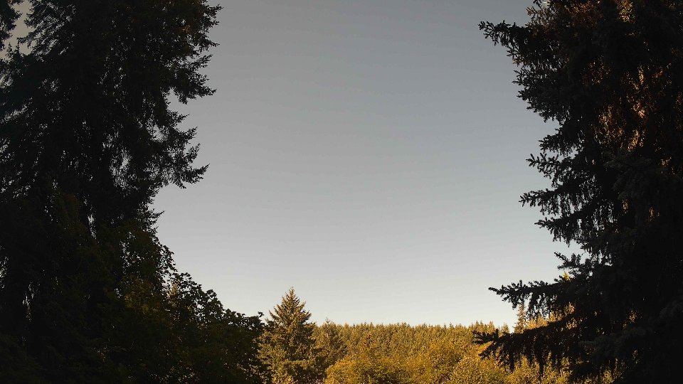
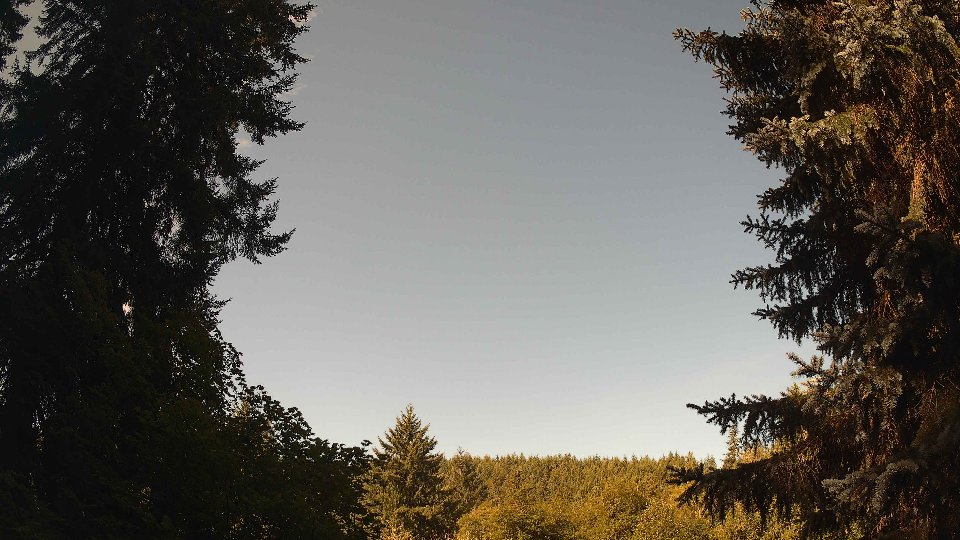
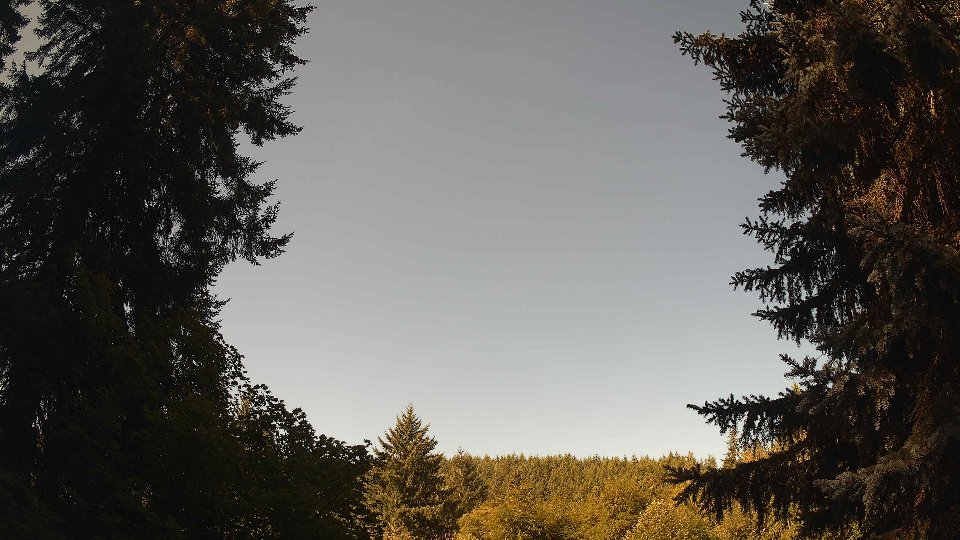
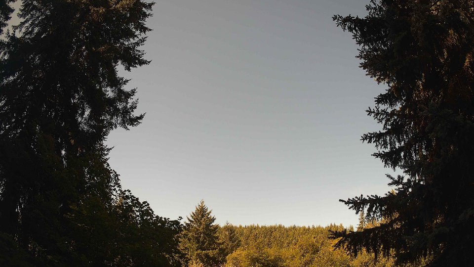
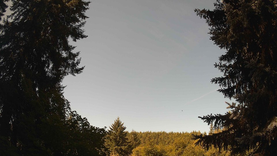
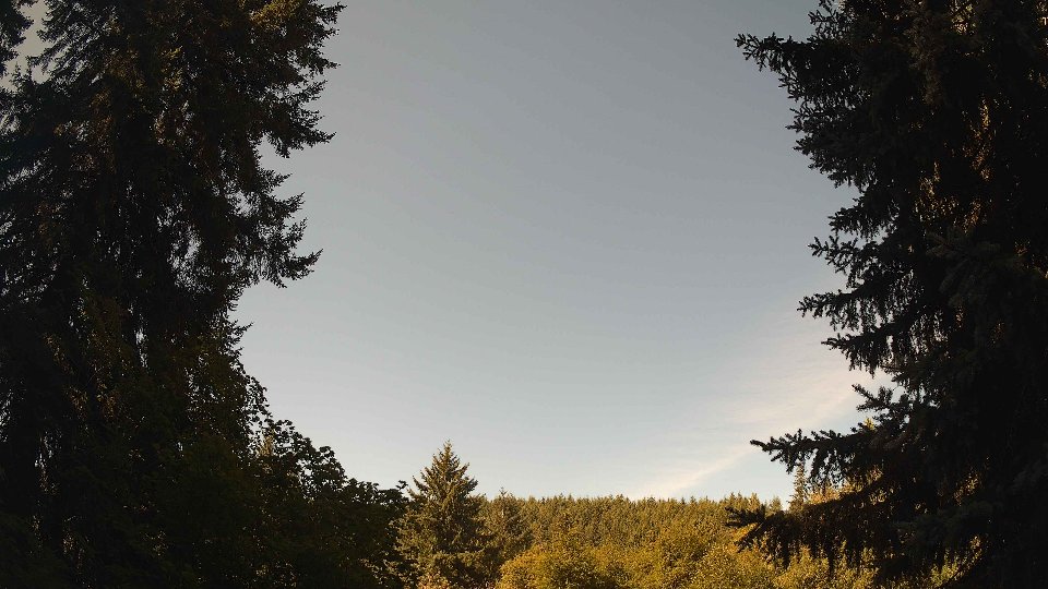
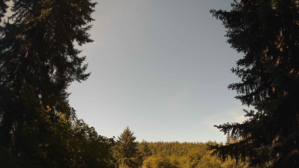
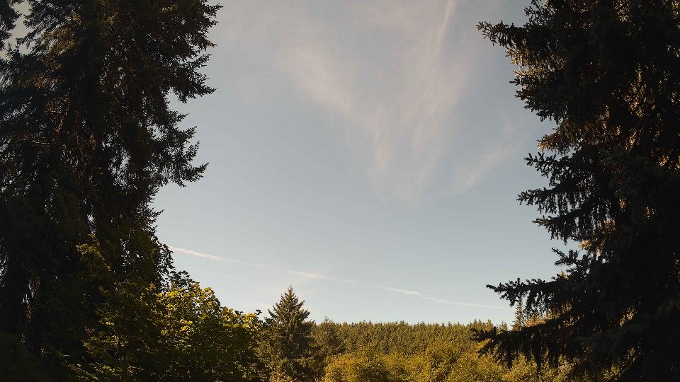
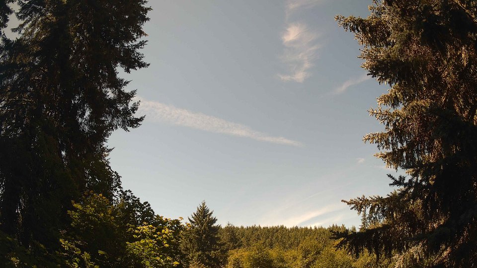
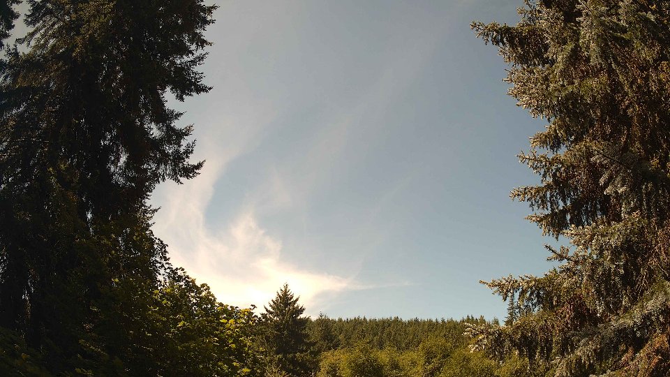
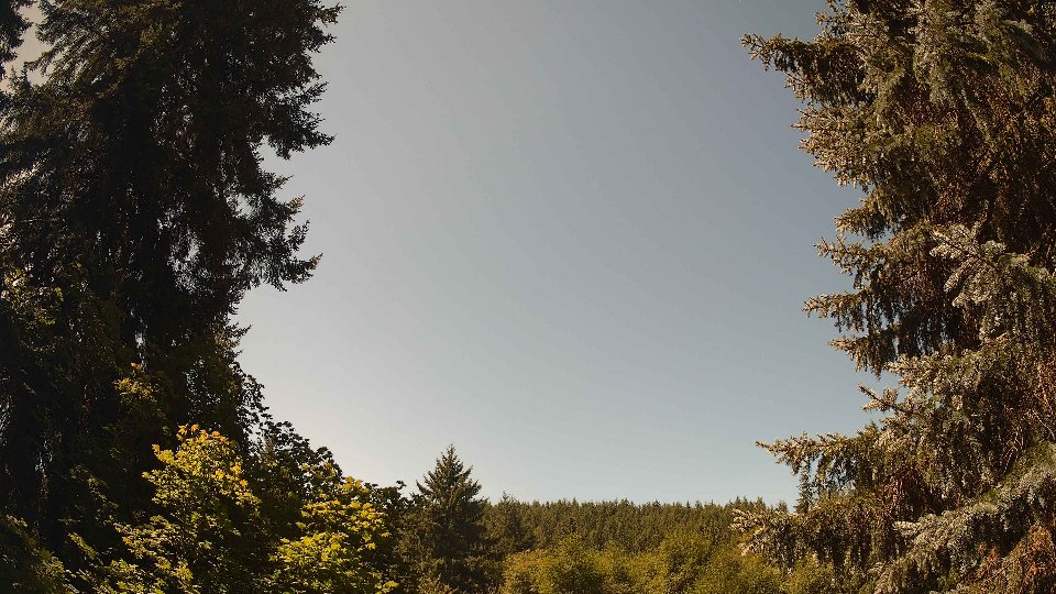
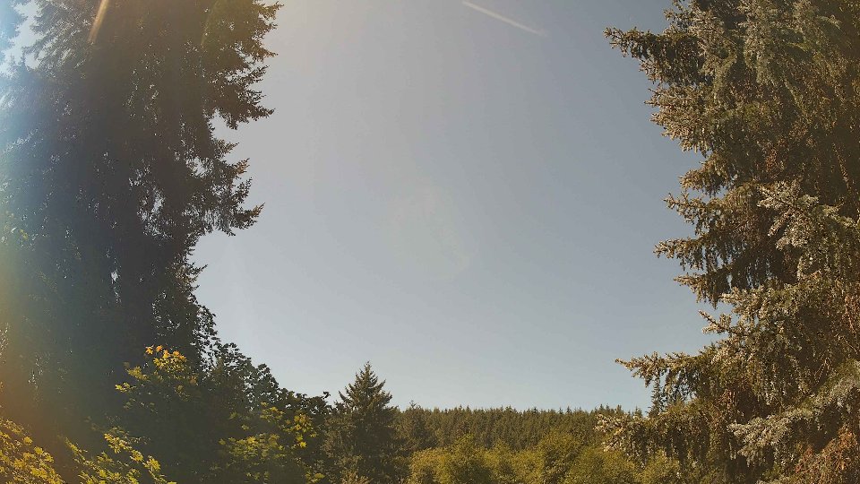
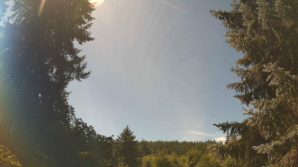
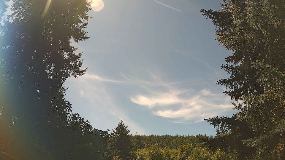
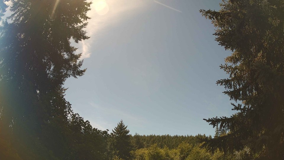
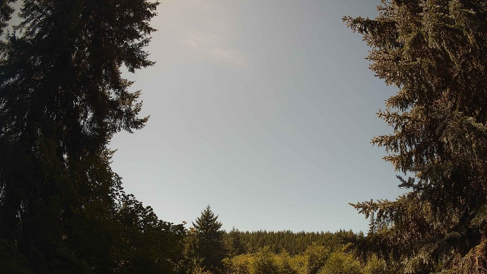
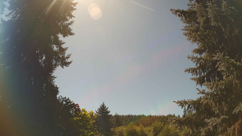
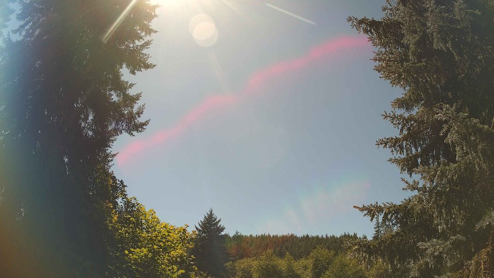
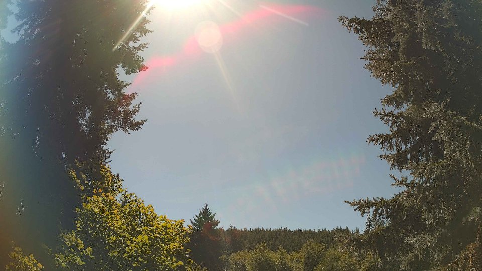
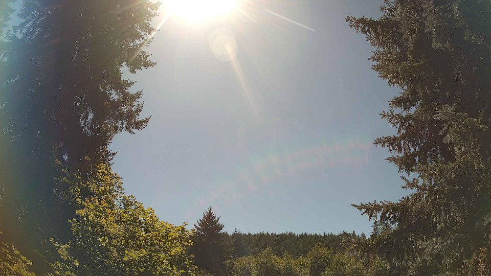
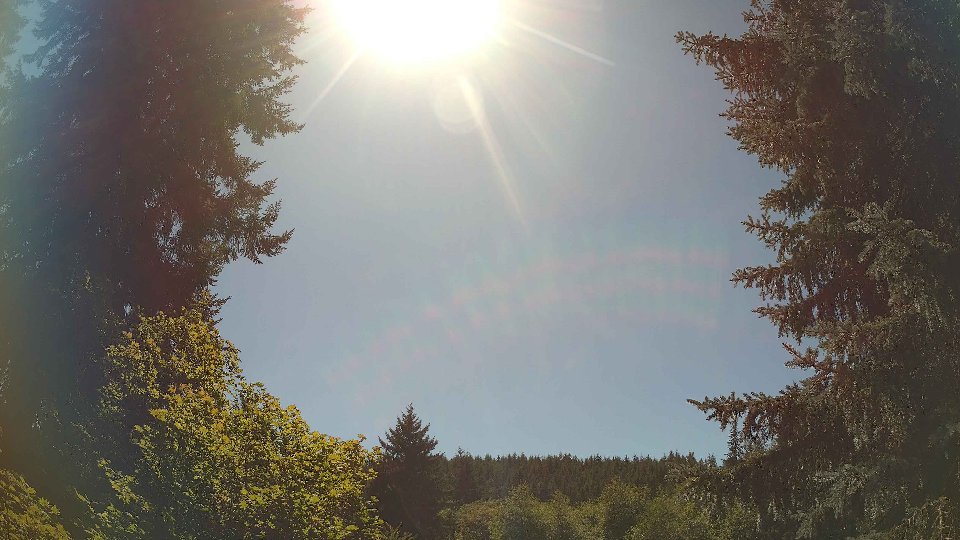
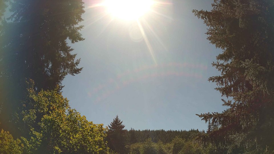
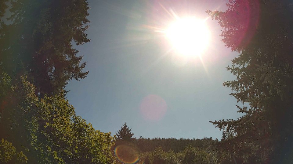
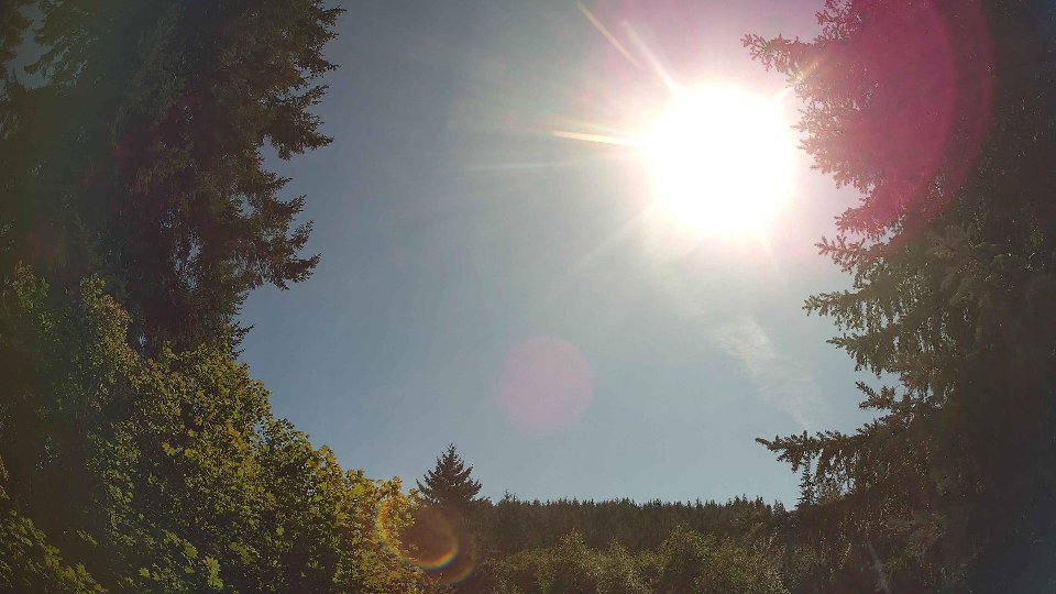
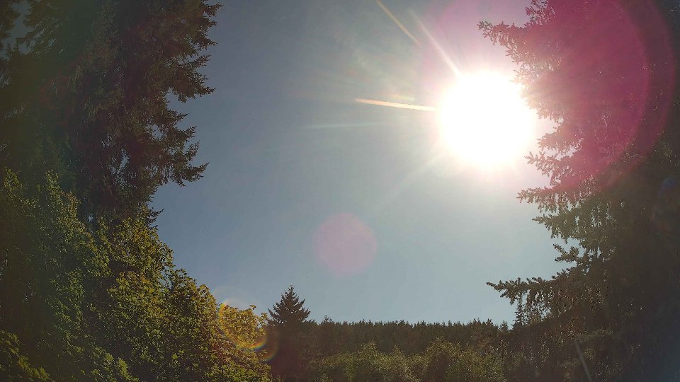
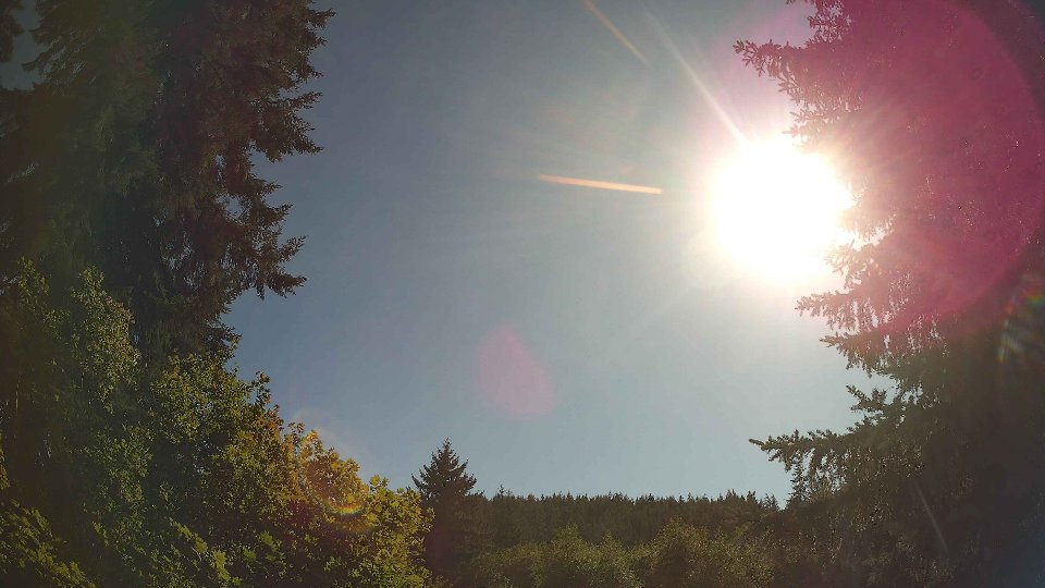
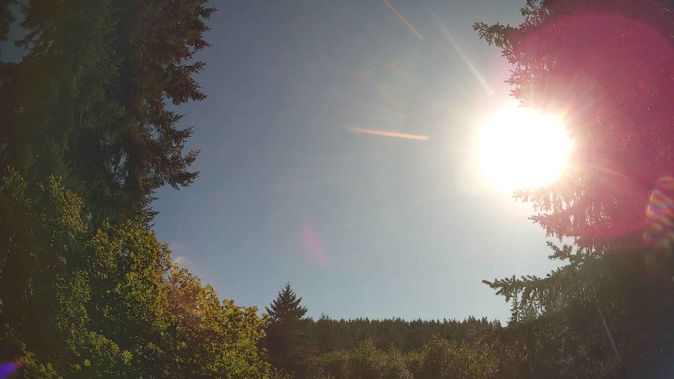
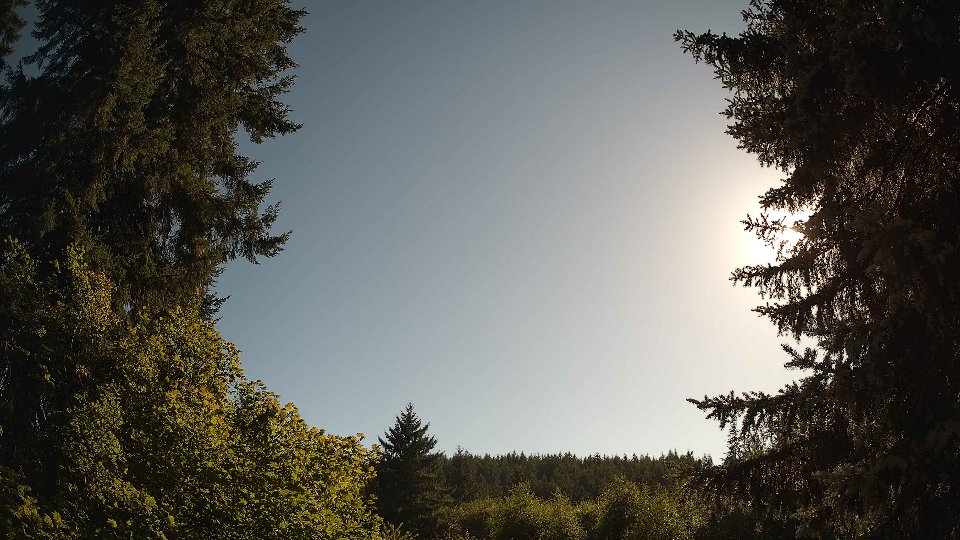
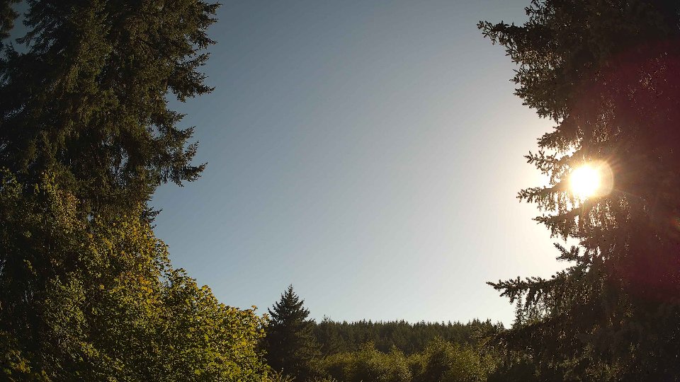
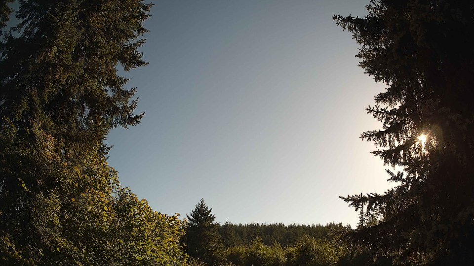
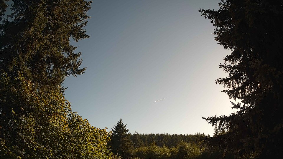
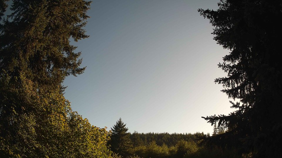
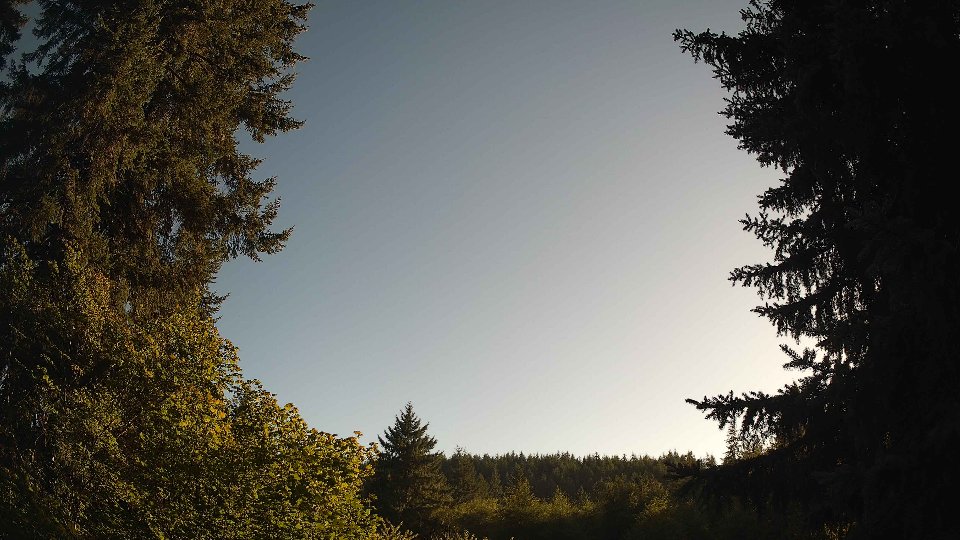
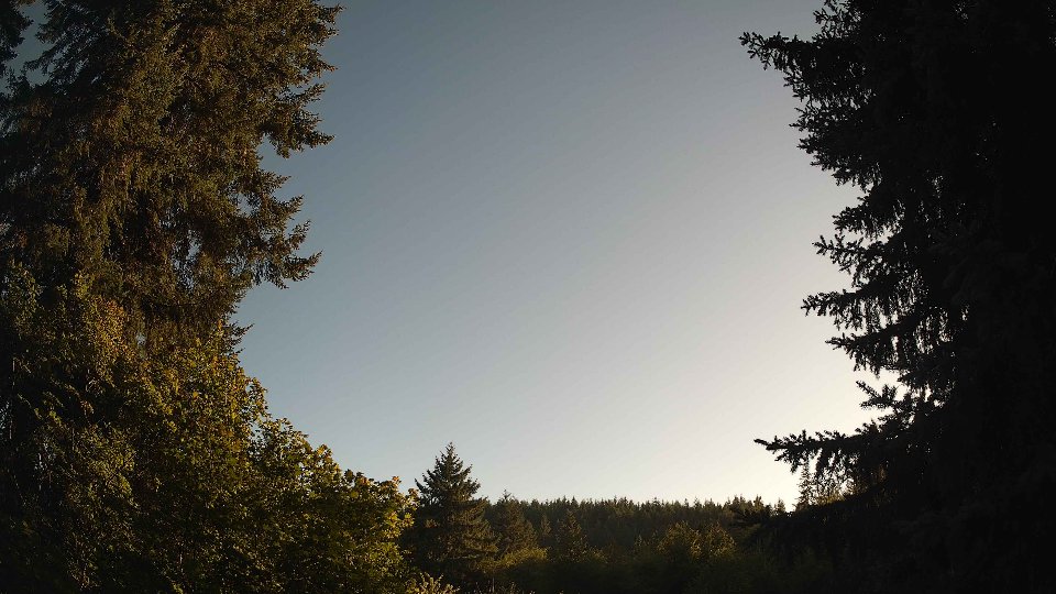
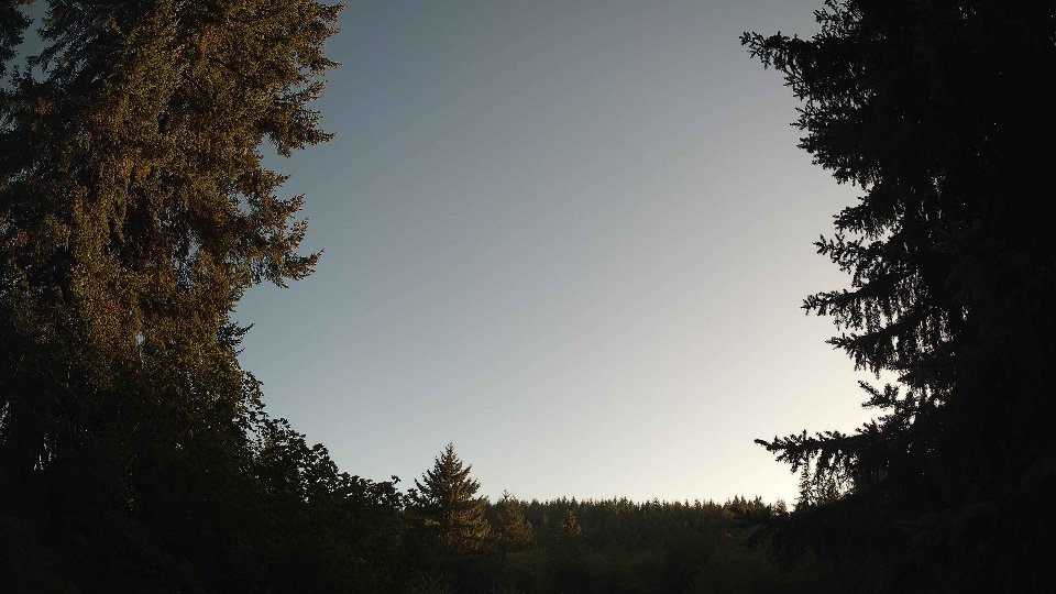
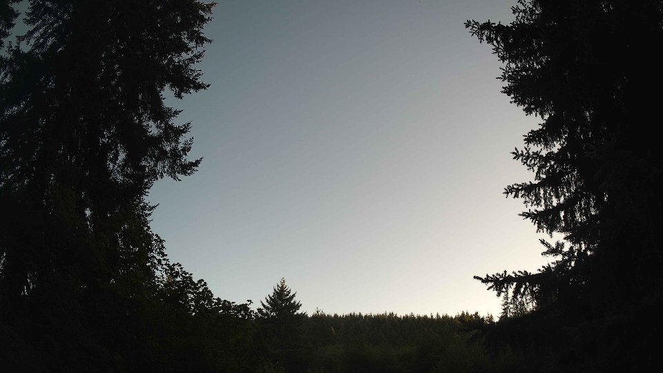
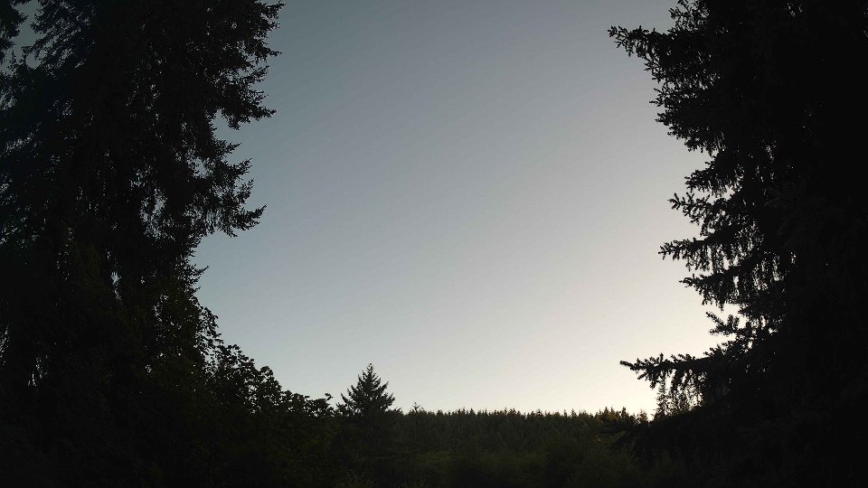
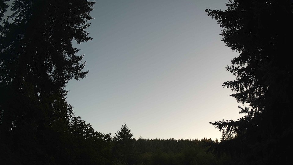
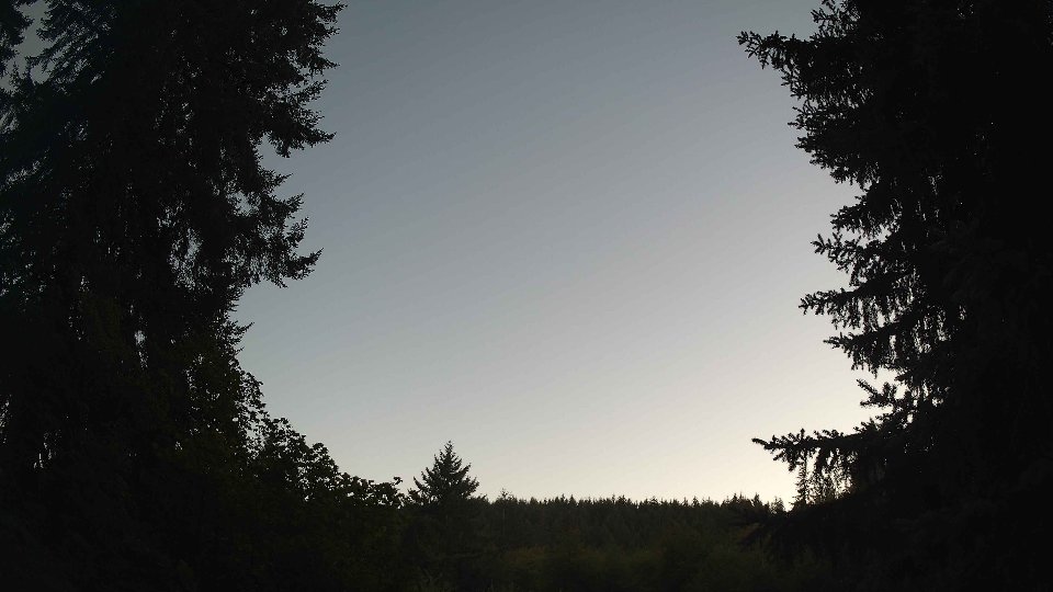
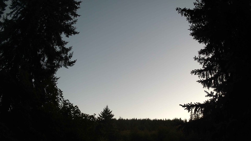
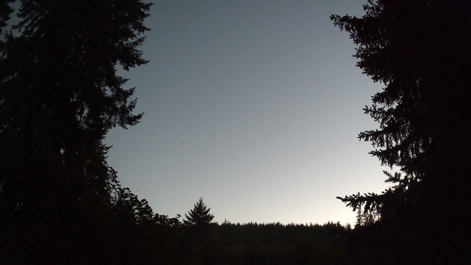
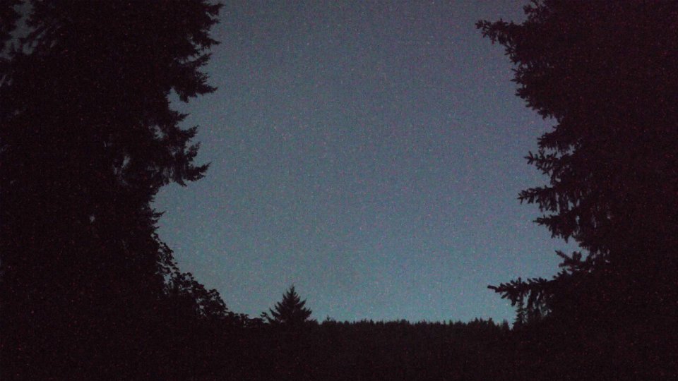
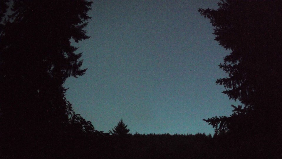
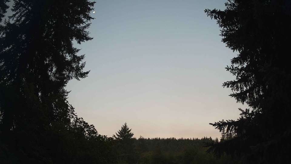
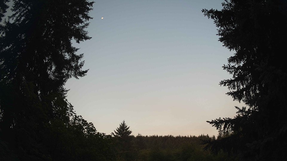
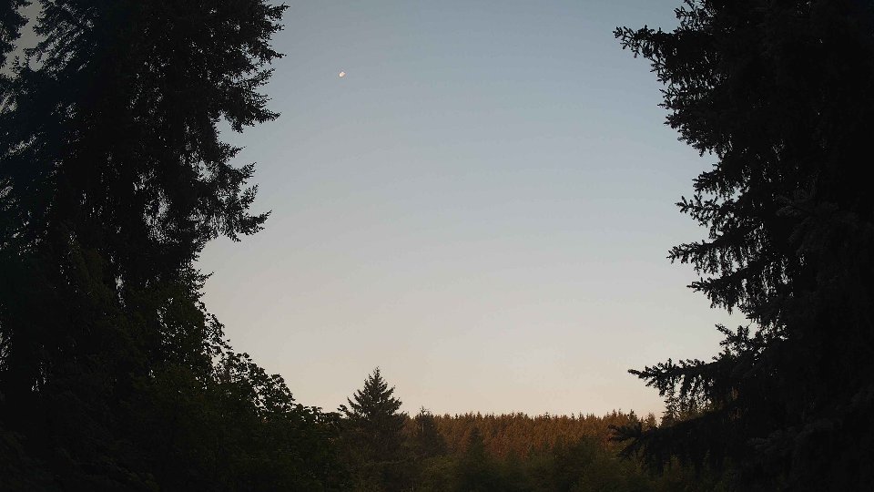
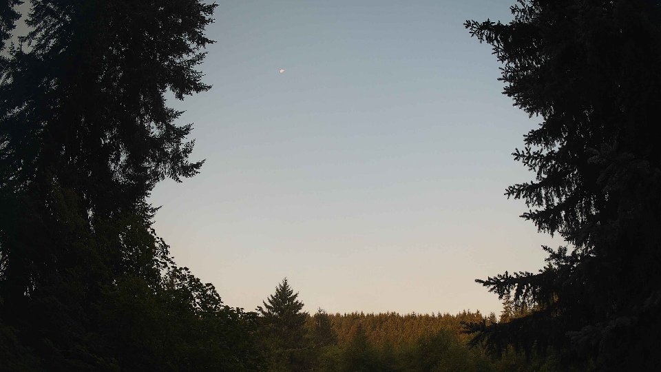
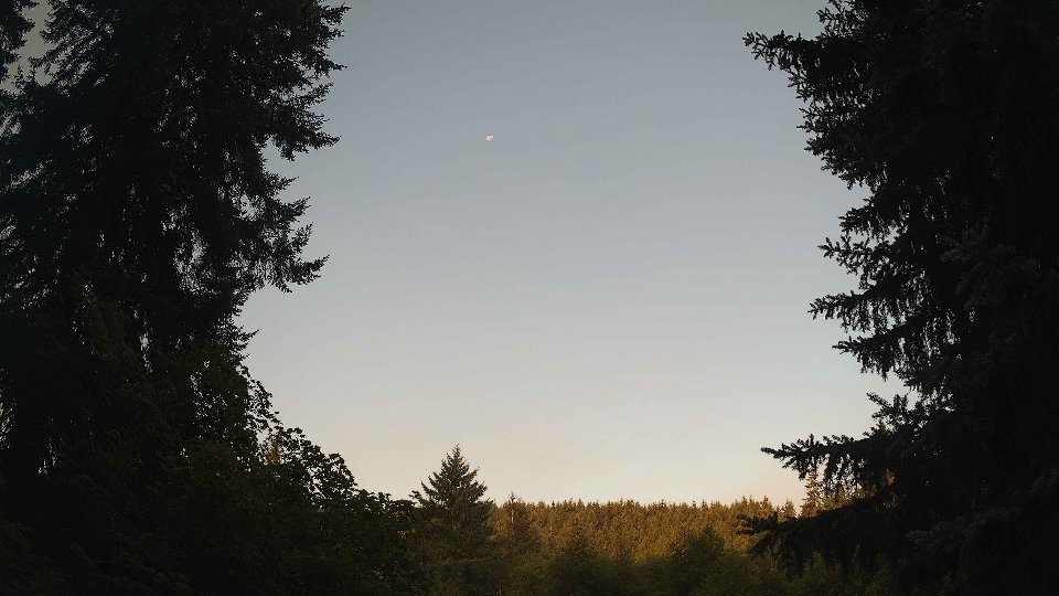
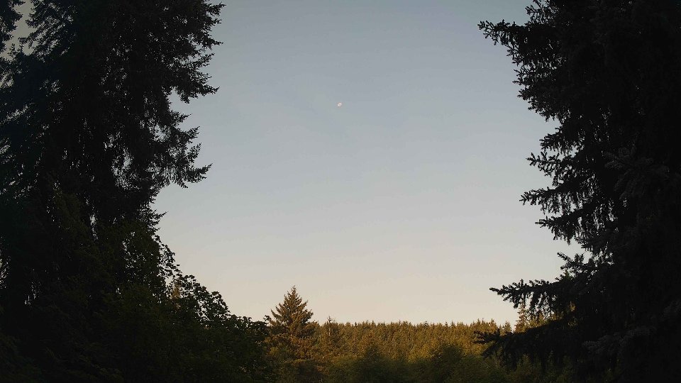
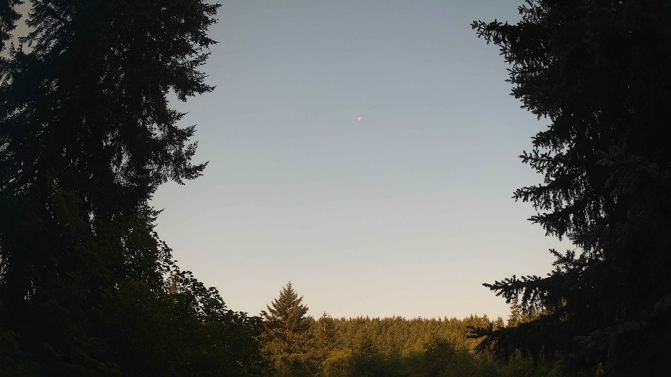
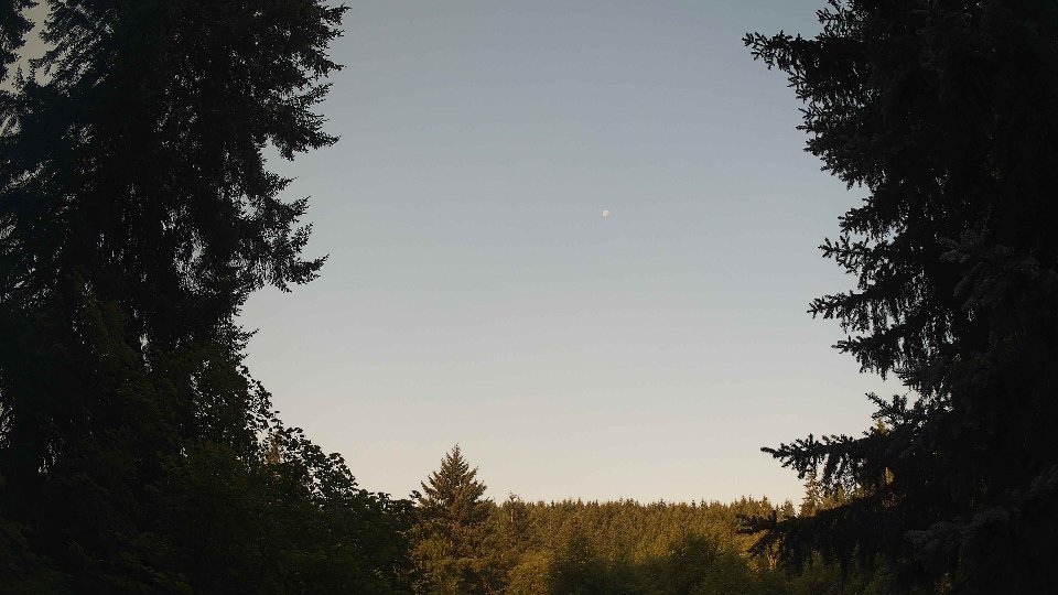
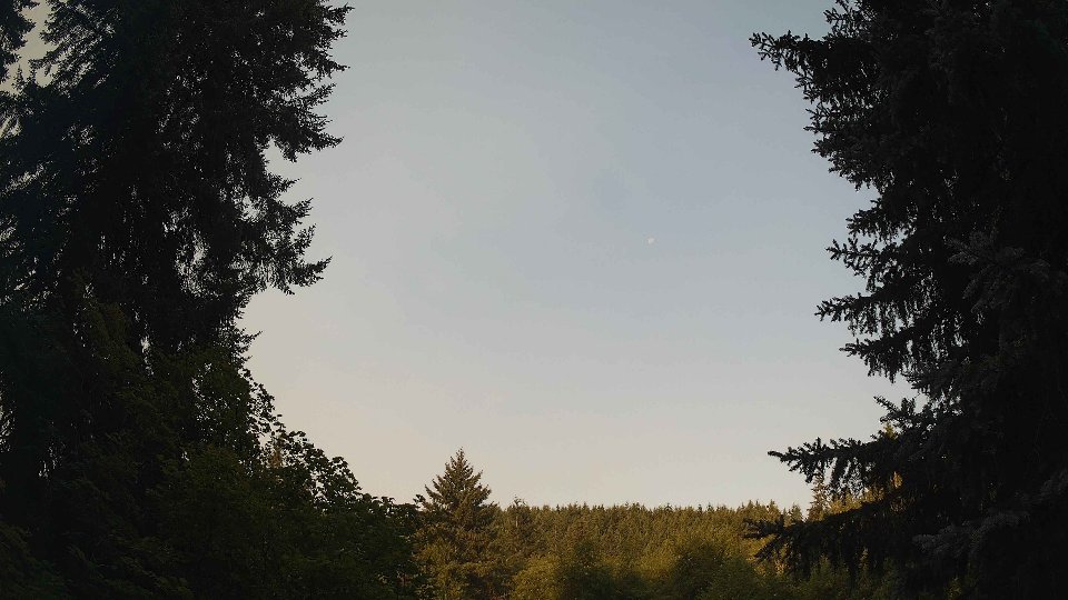
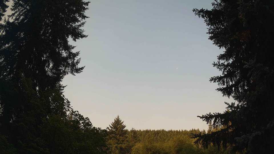
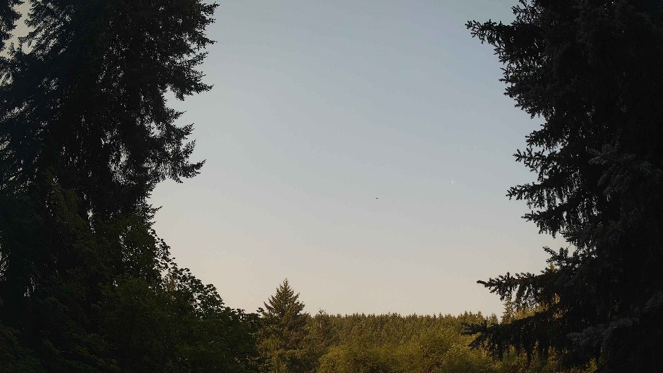
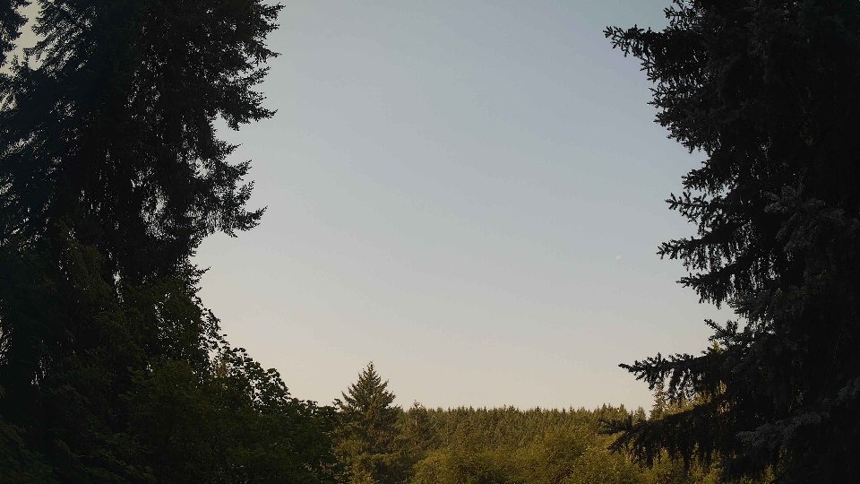
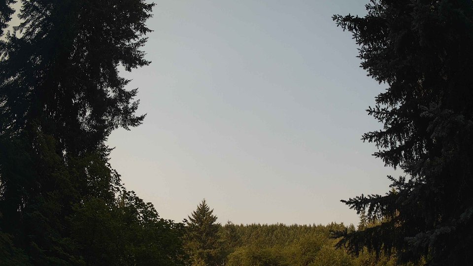
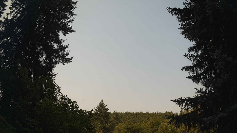
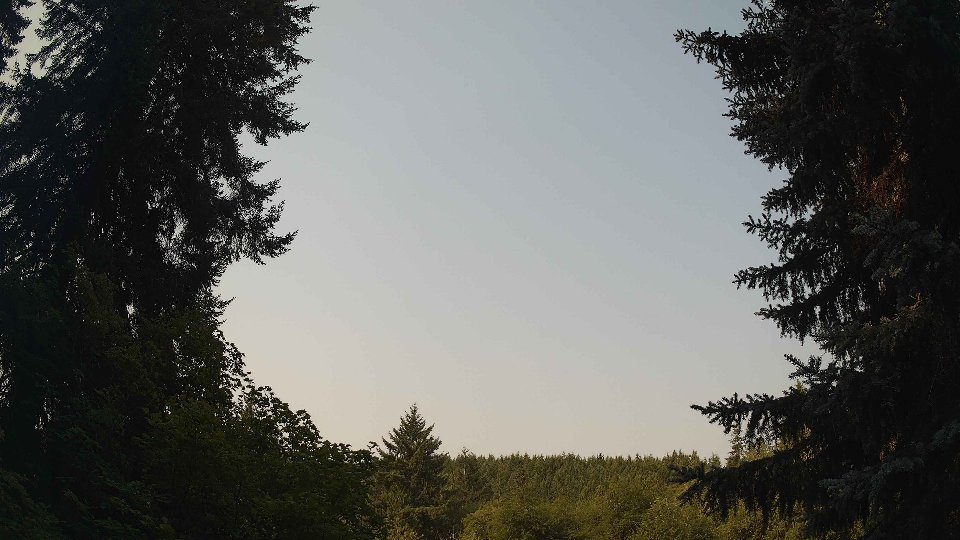
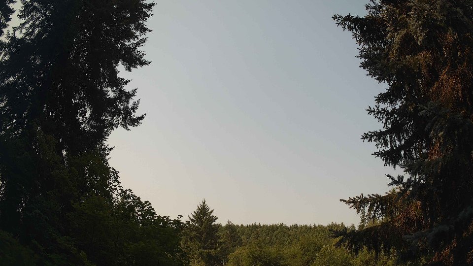
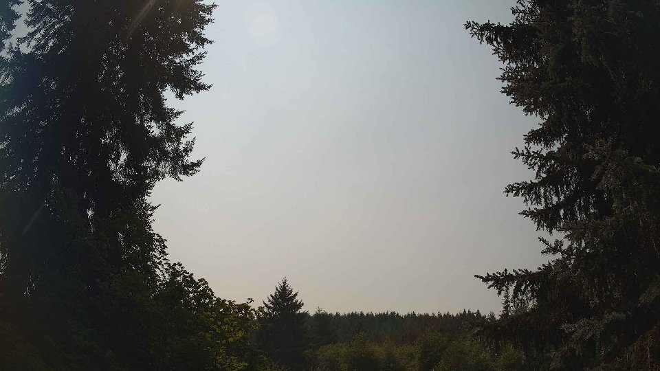
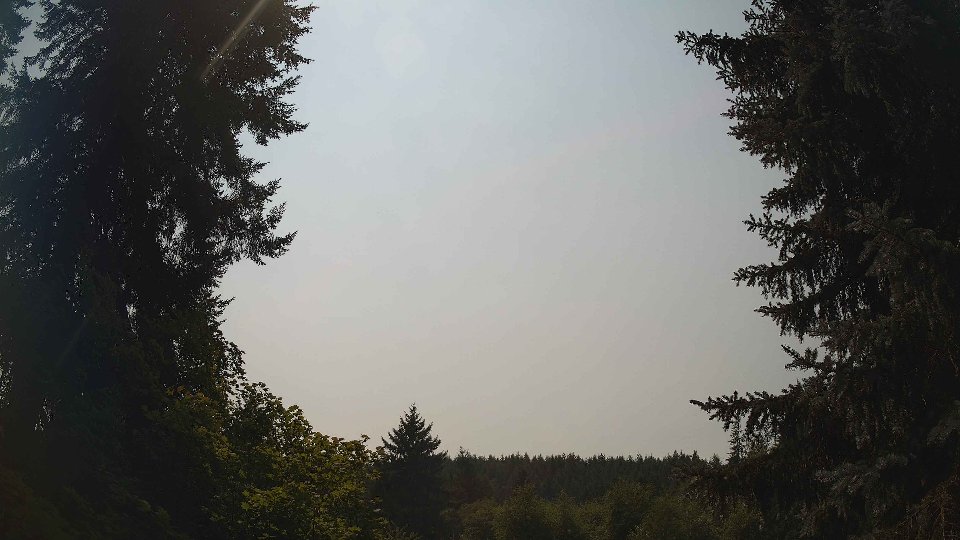
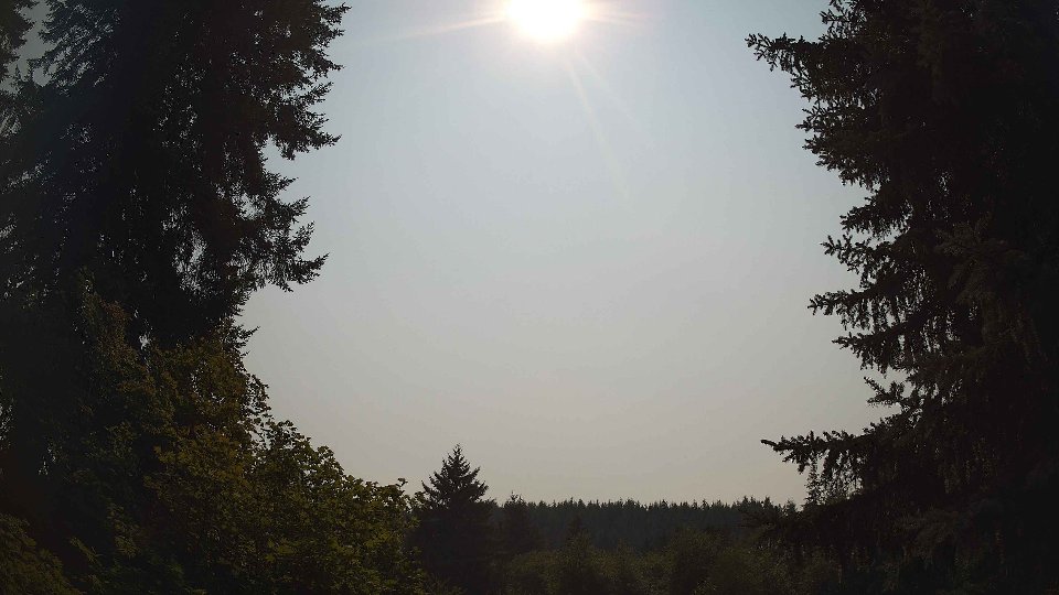
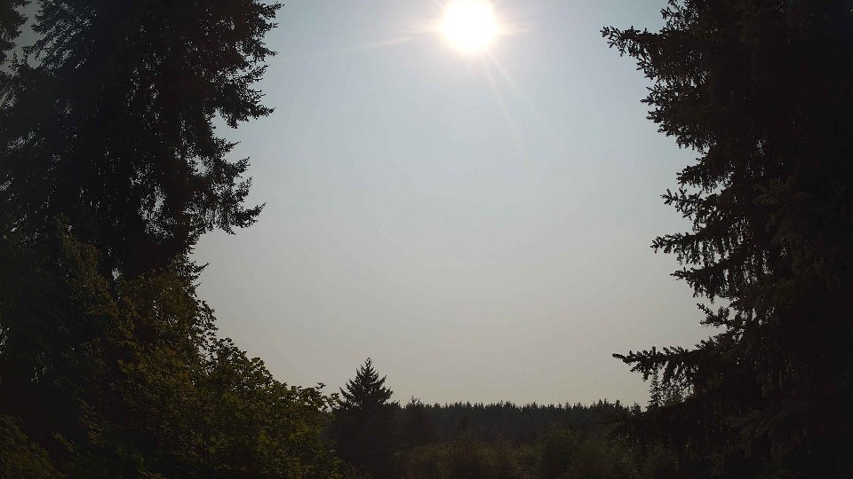
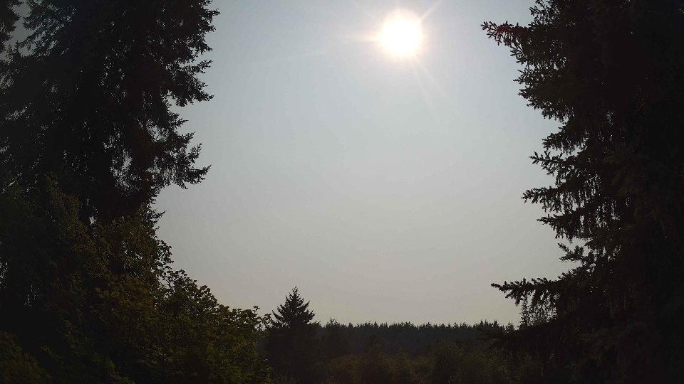
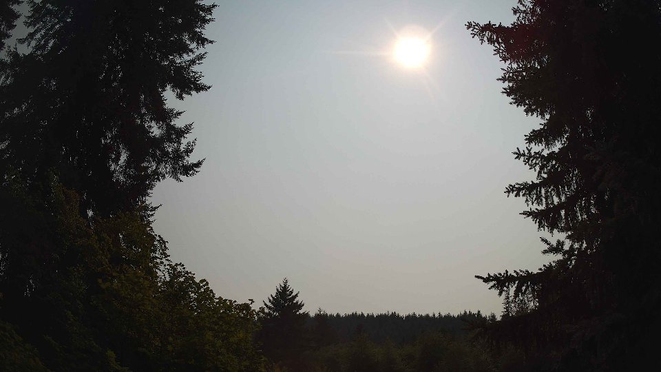
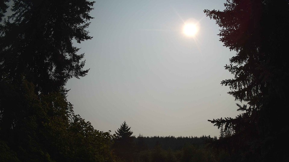
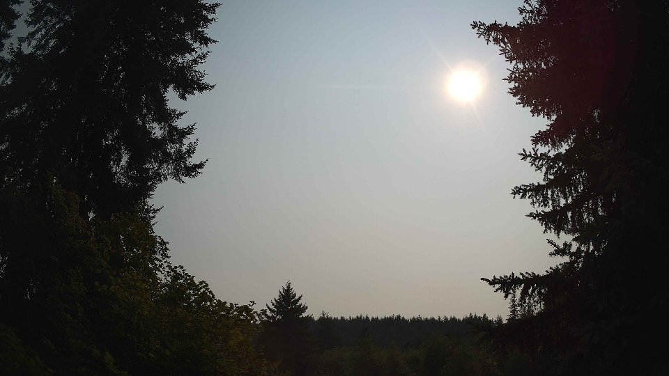
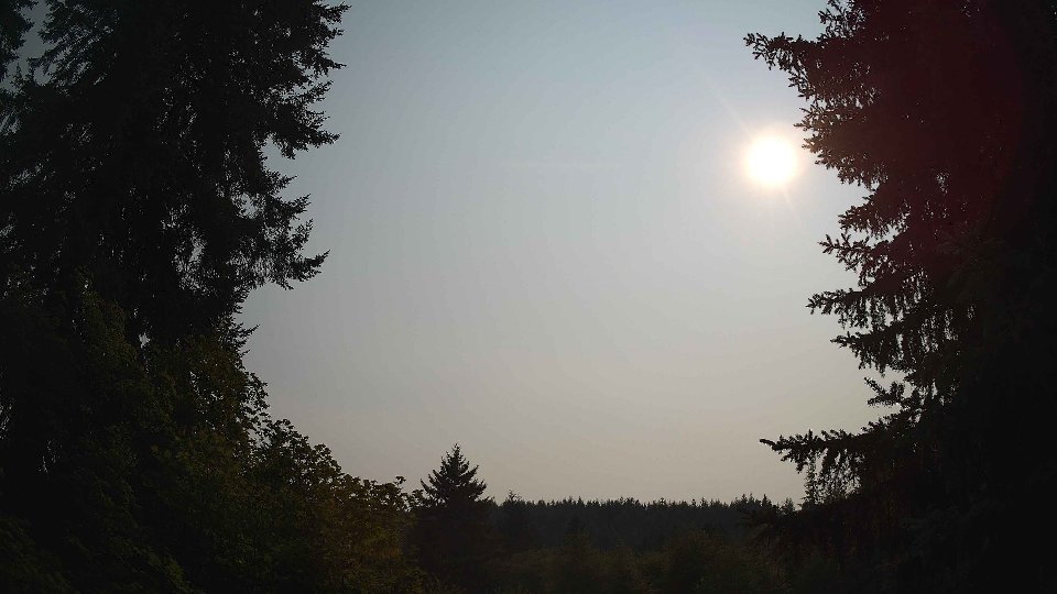
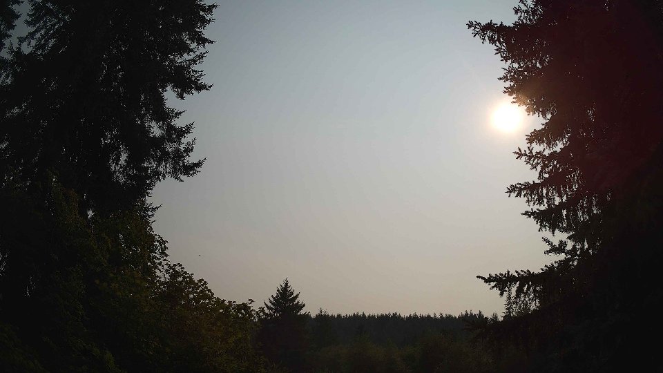
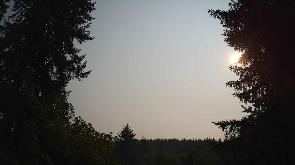
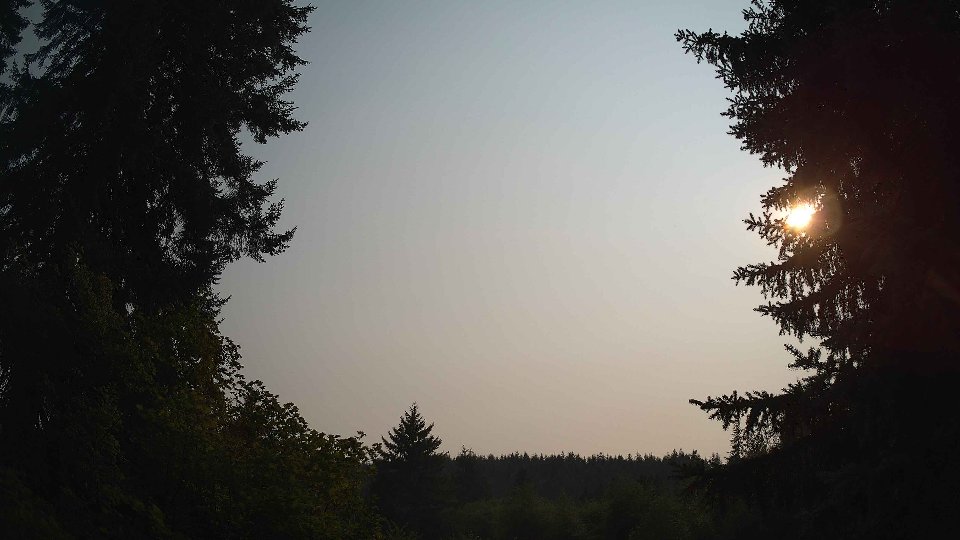
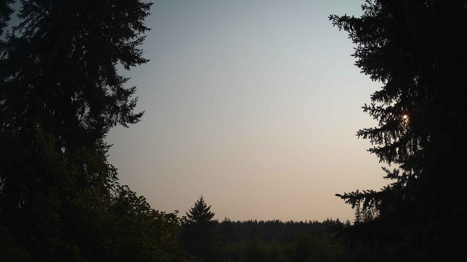
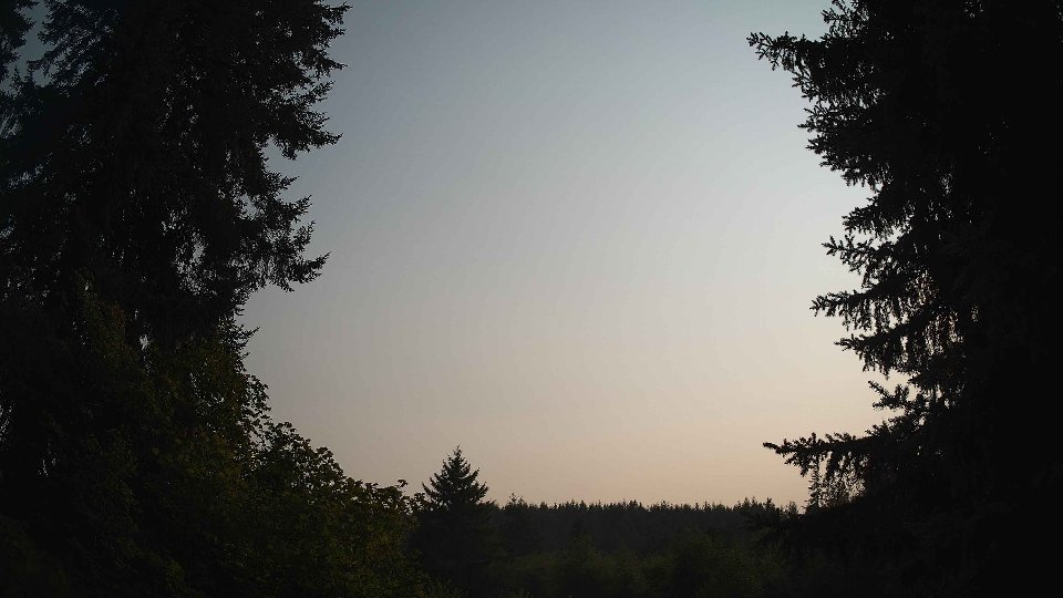
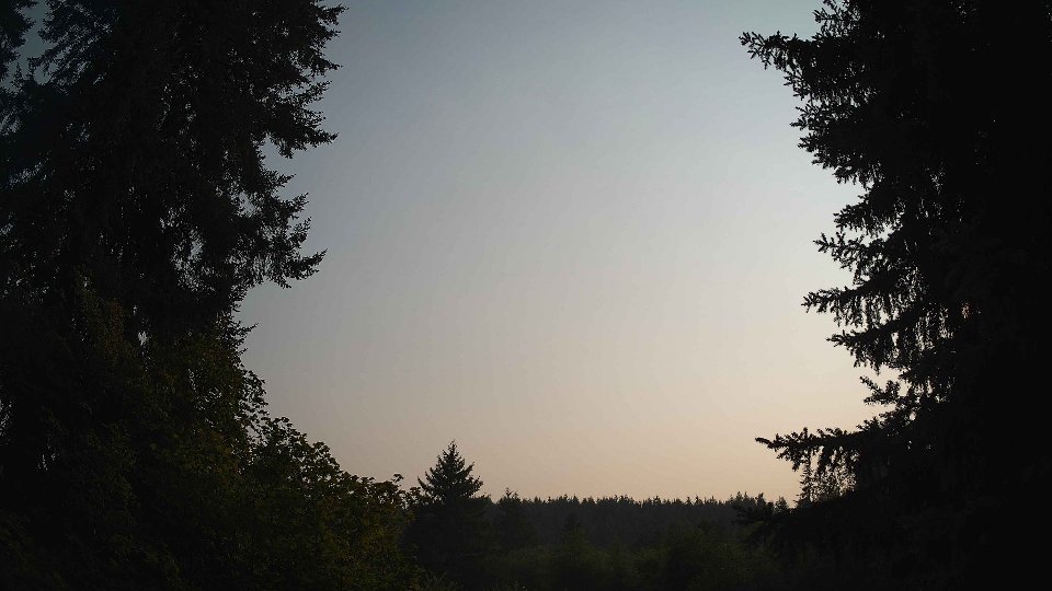
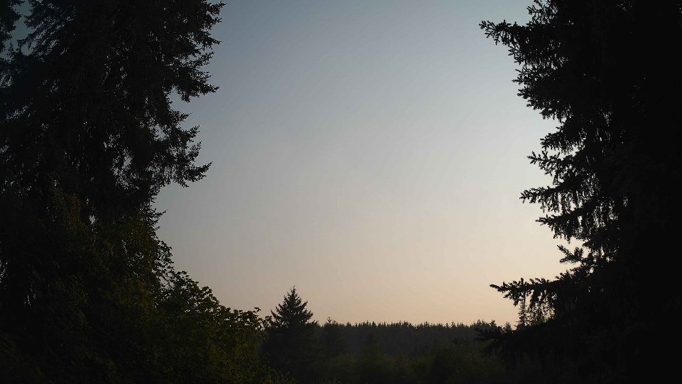
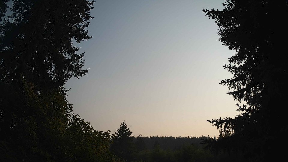
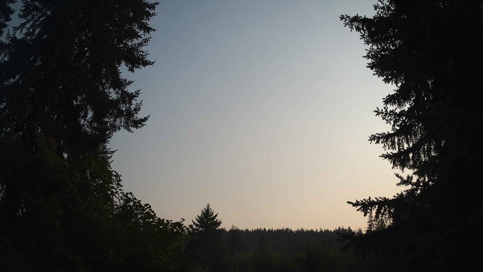
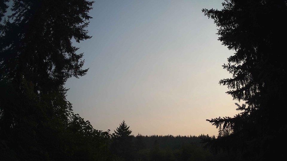
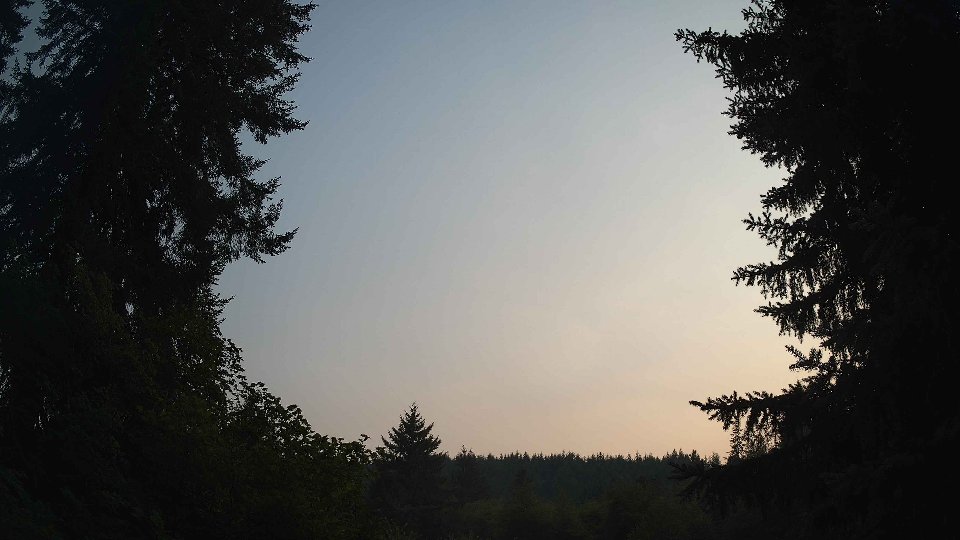
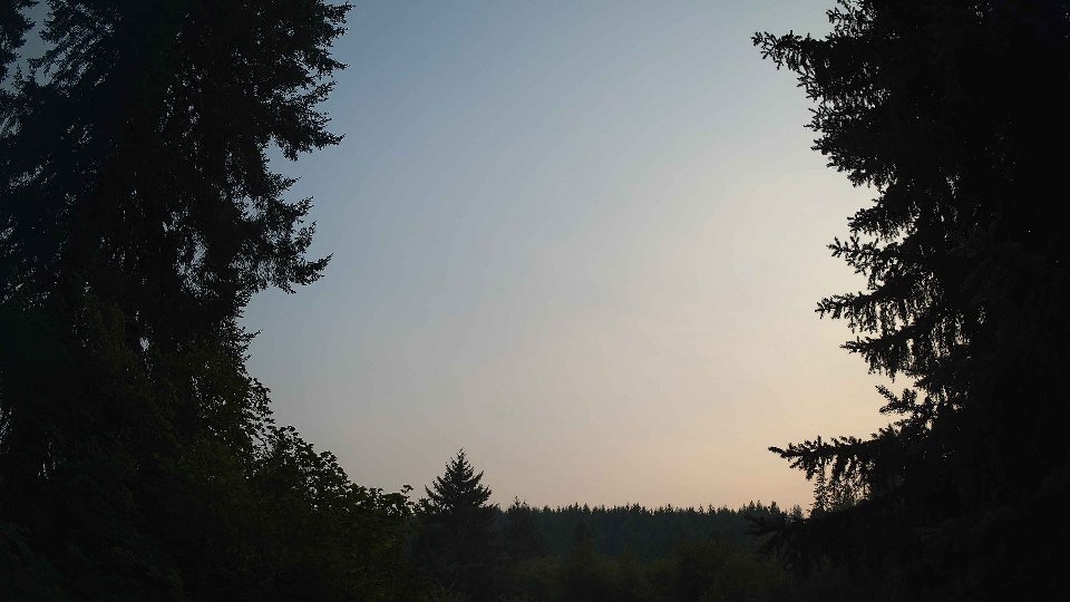
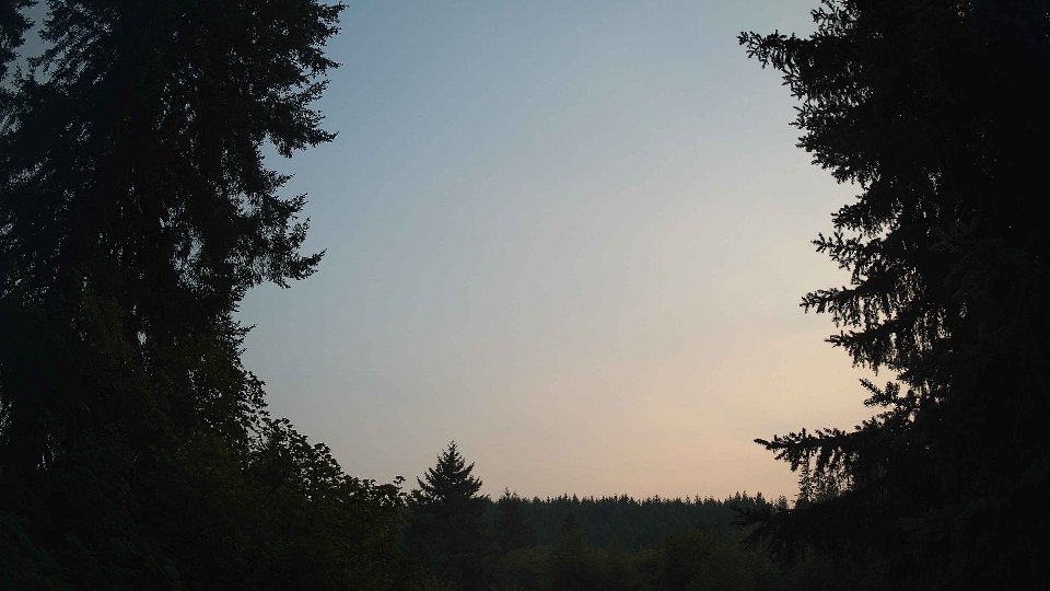
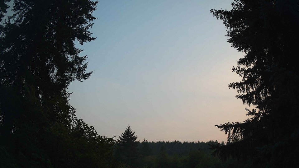
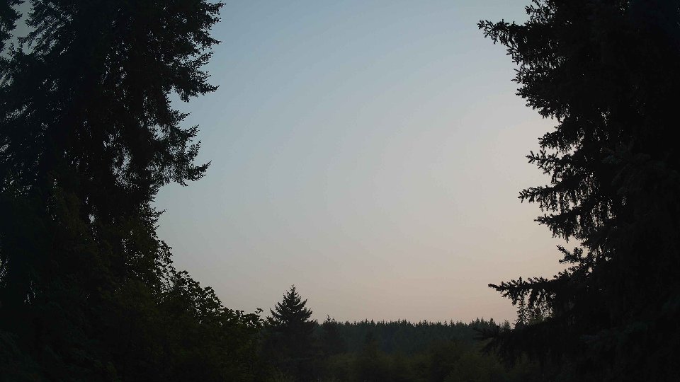
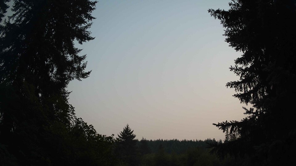
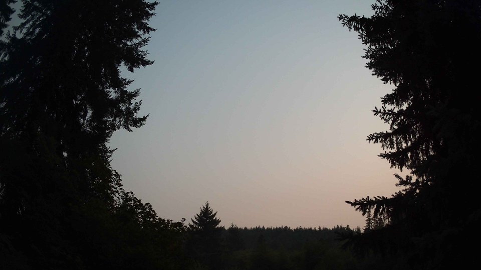
By evening, the weather had transformed notably, with the surface wind picking up to an average of 7.5 mph and the winds at 100 meters reaching 10.9 mph, marking a substantial increase in wind activity. Cloud cover fell dramatically to 21.4%, with low clouds consisting of only 18.6% and mid-level clouds reduced to 3.0%. This significant decline in cloudiness allowed for more expansive views of the fading sunlight. The gentle upward push from the stronger winds aloft likely stirred the remaining clouds, pushing them away and allowing for thin layers to form as the day progressed toward twilight. The brief moments of turbulence between the layers provided intrigue as the clouds danced against the evening sky. By sunset, the temperature held steady at around 67.6°F, wrapping up a day that began under thick clouds yet evolved into a clearer, more vibrant atmosphere as evening approached.
August 14th, 2026 Timeline
Screenshots with weather data (wind layers, clouds, precipitation)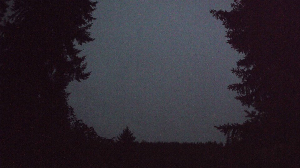


Weather Info for August 14th, 2026
Sunset: 8:22 PM