November 30th, 2025 Timelapse
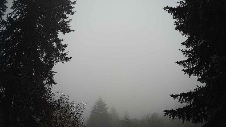
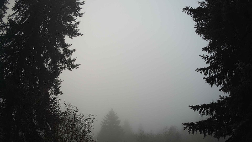
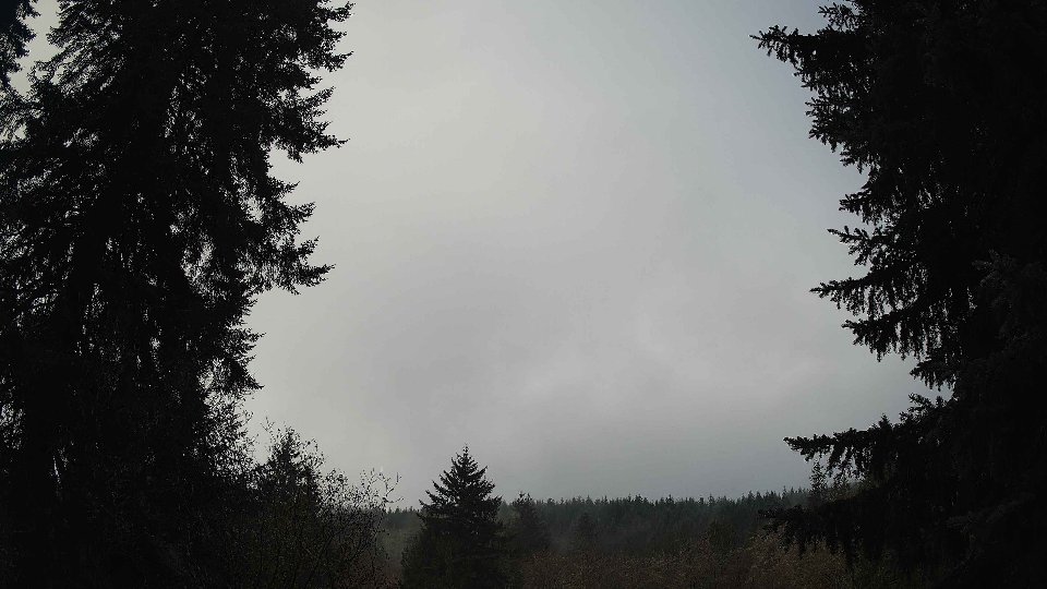
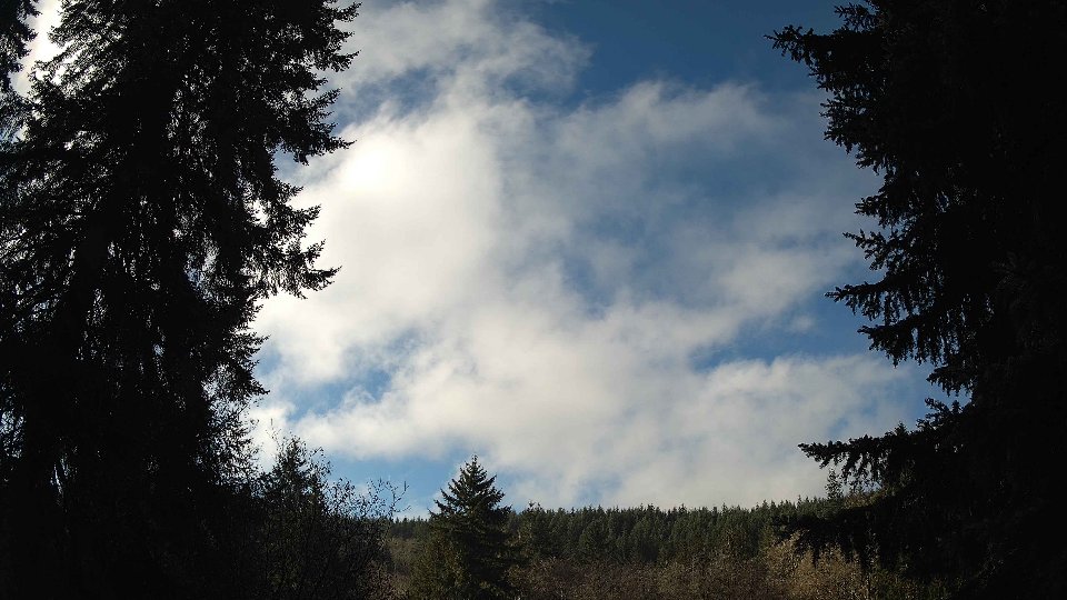
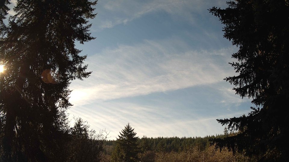
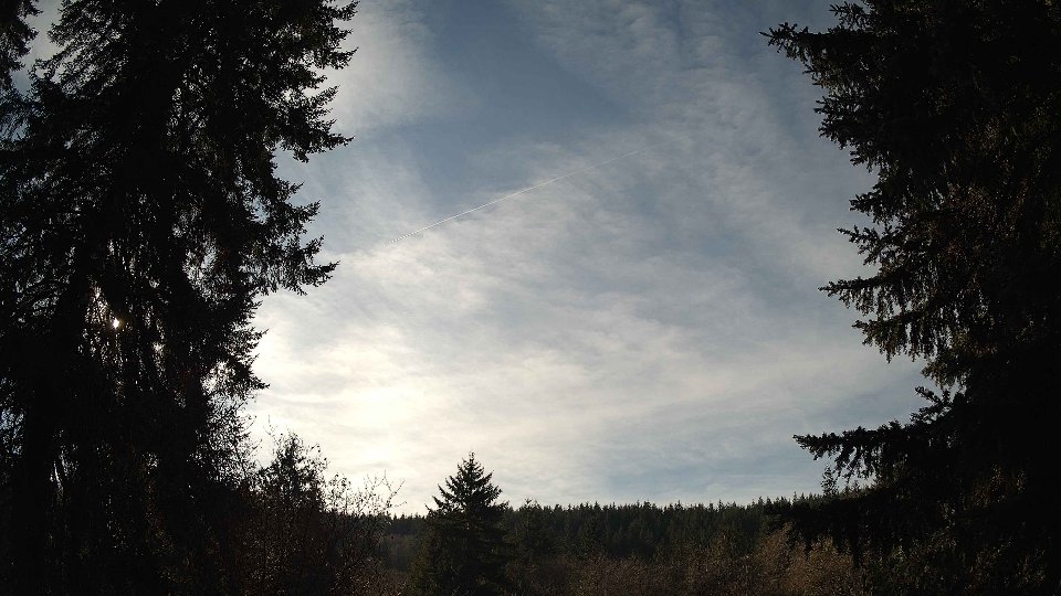
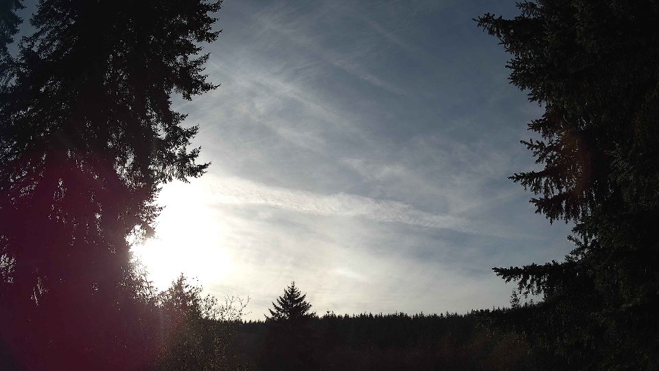
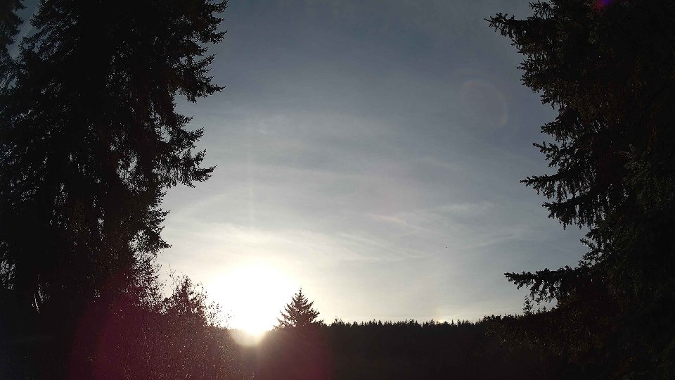
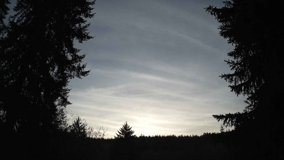
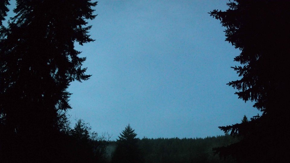
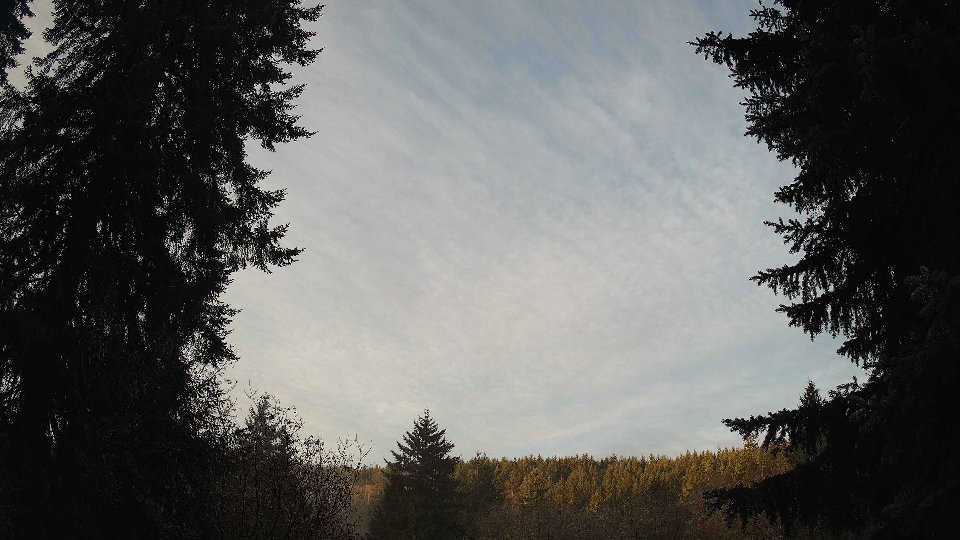
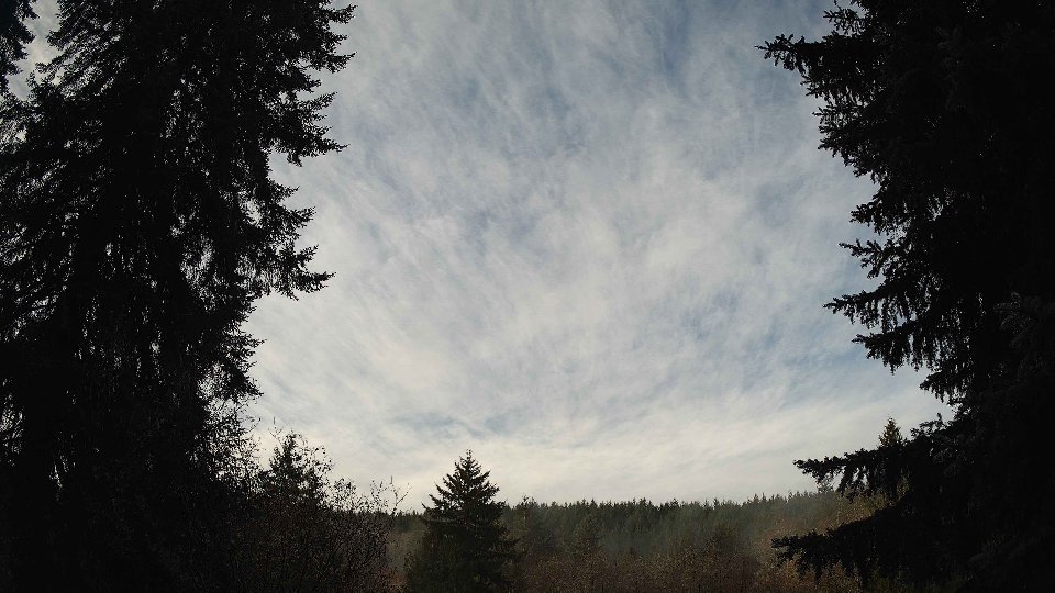
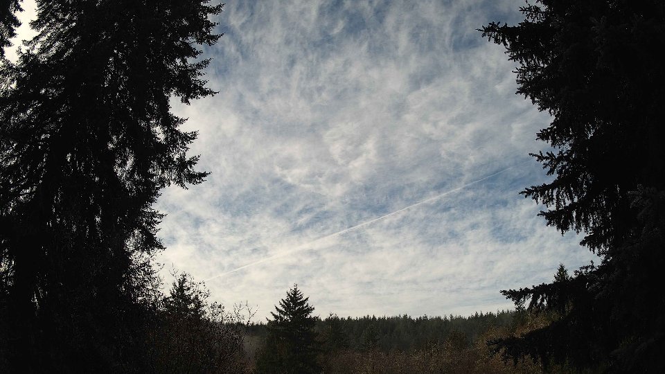
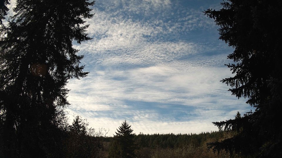
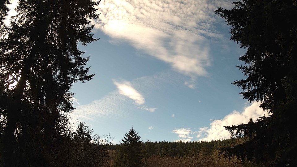
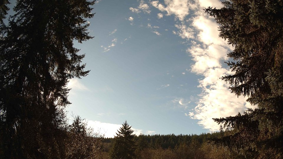
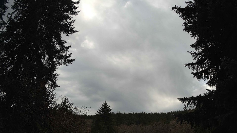
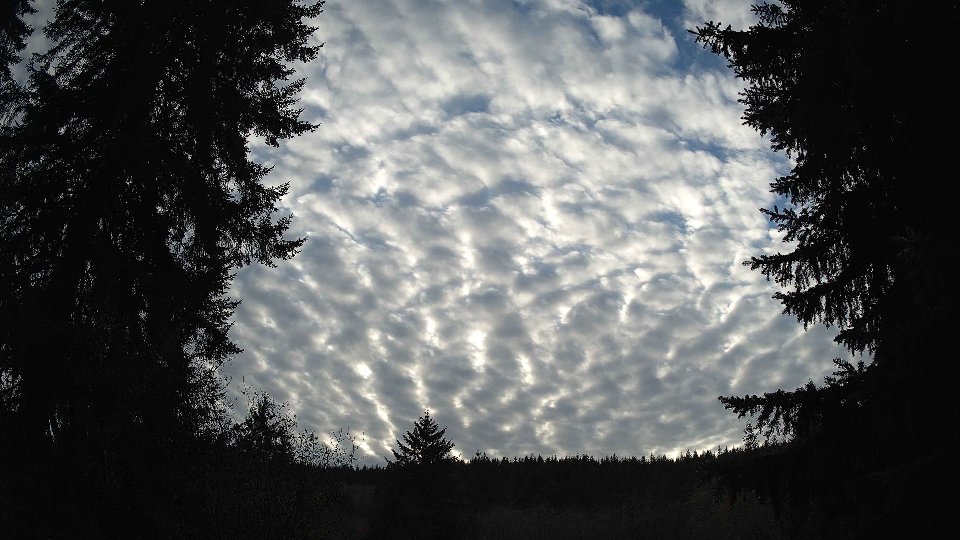
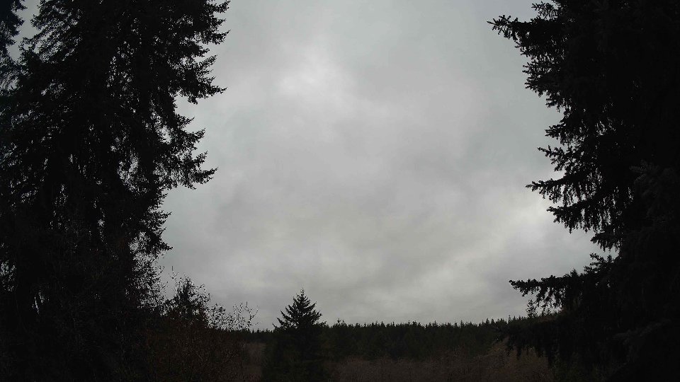
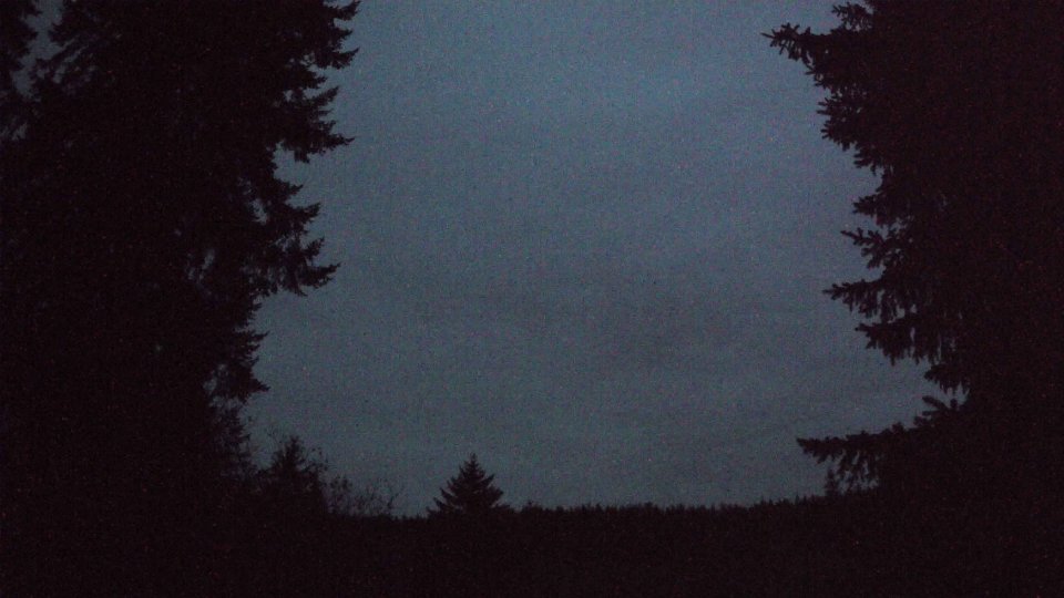
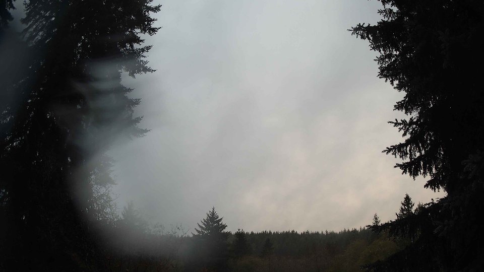
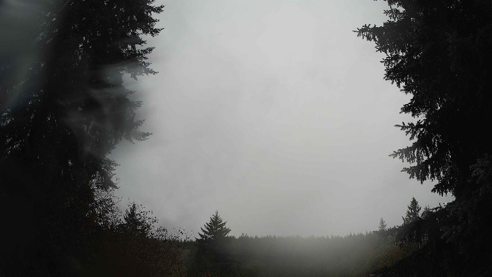
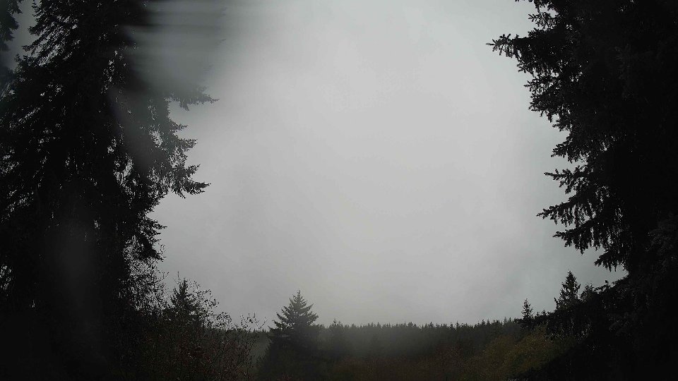
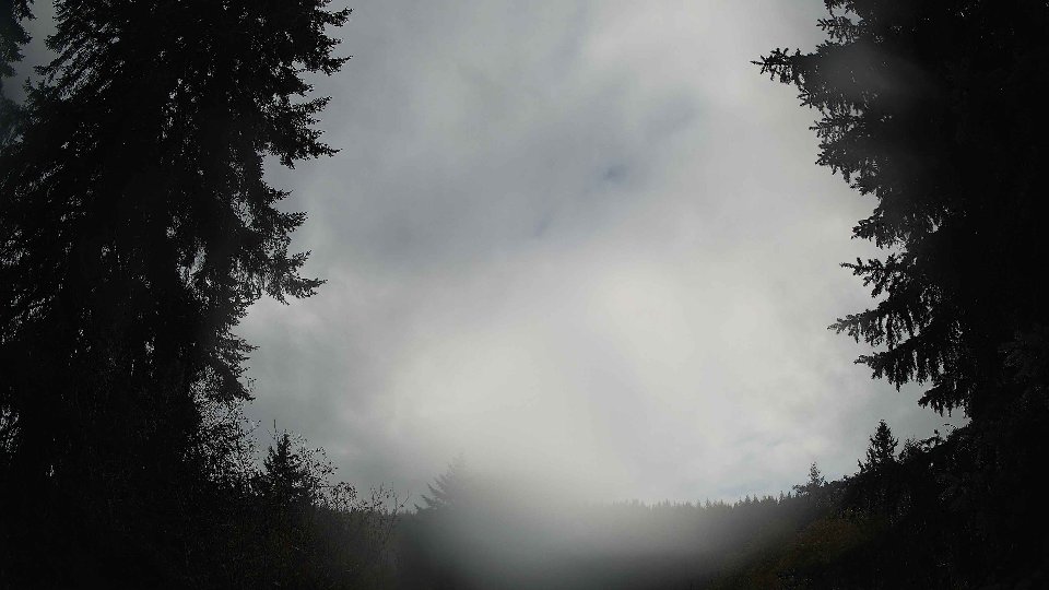
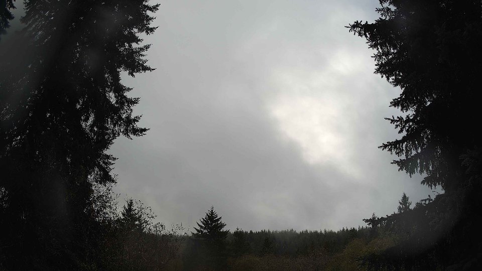
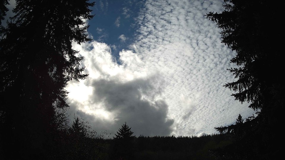
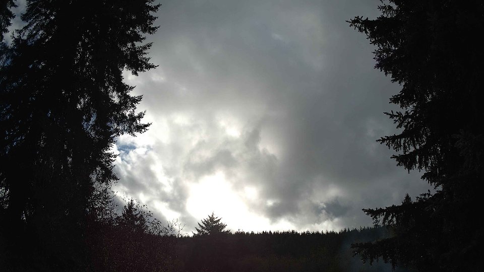
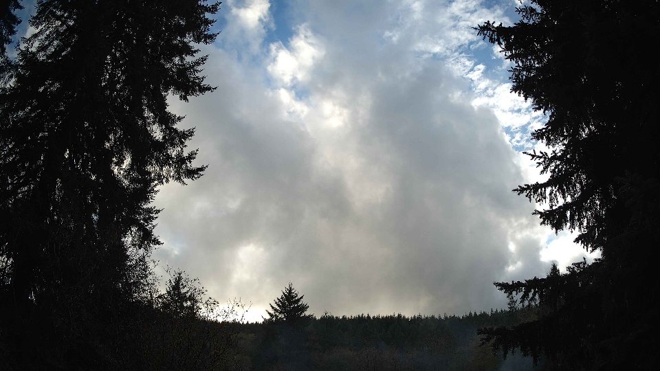
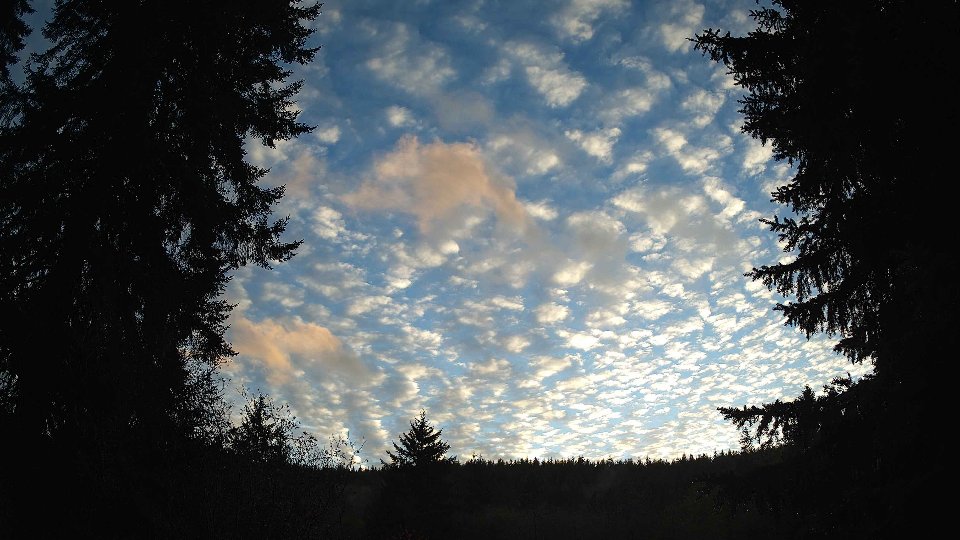
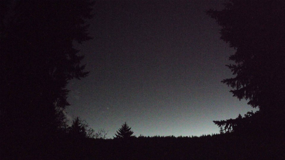
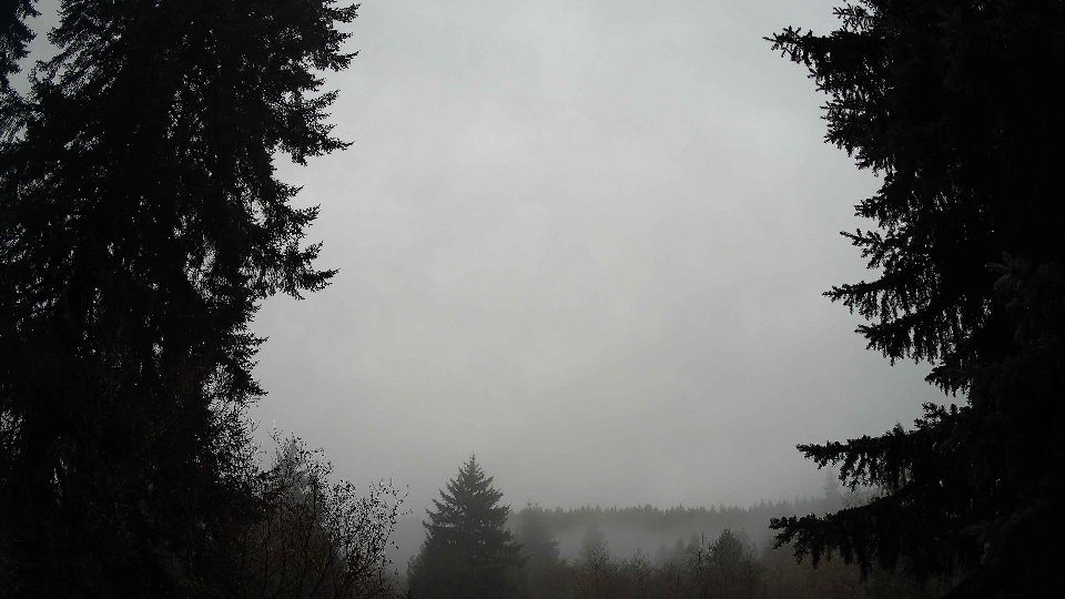
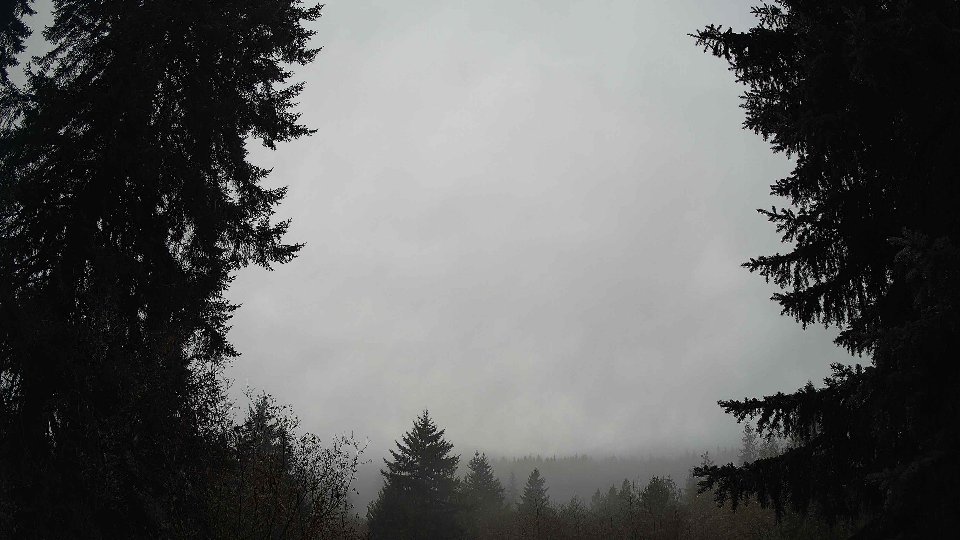
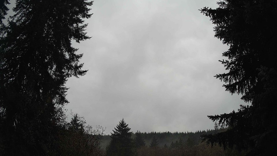
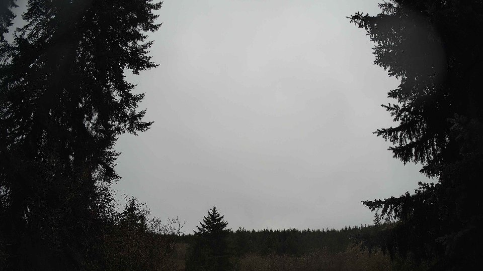
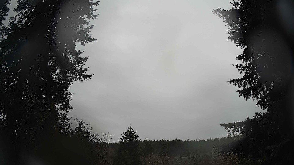
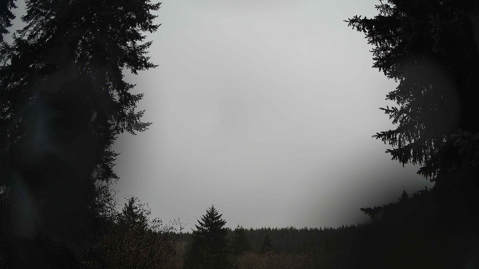
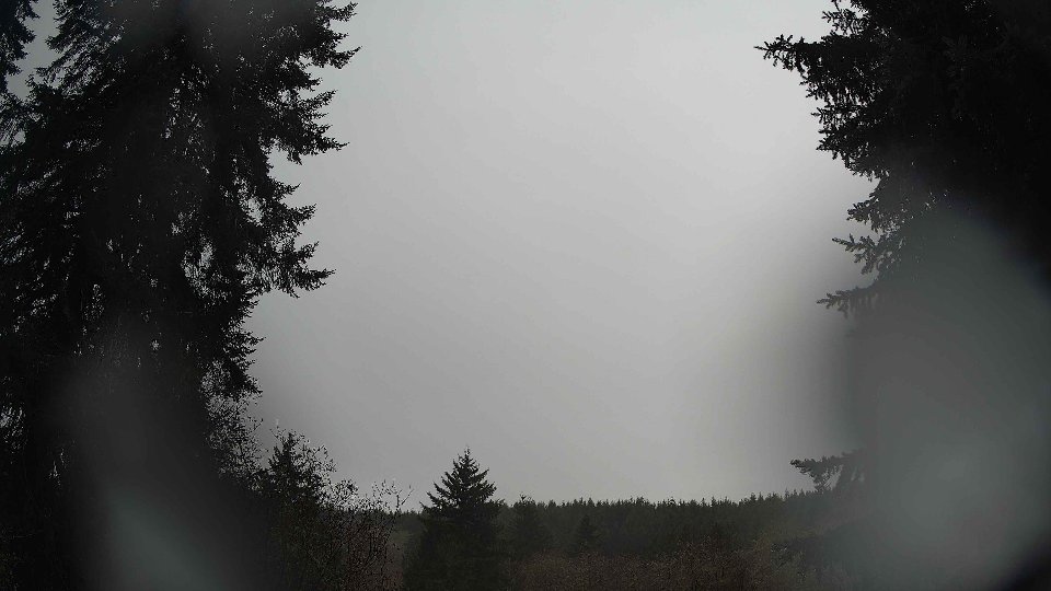
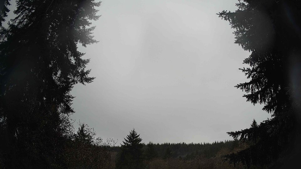
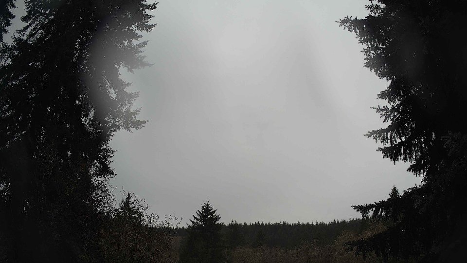
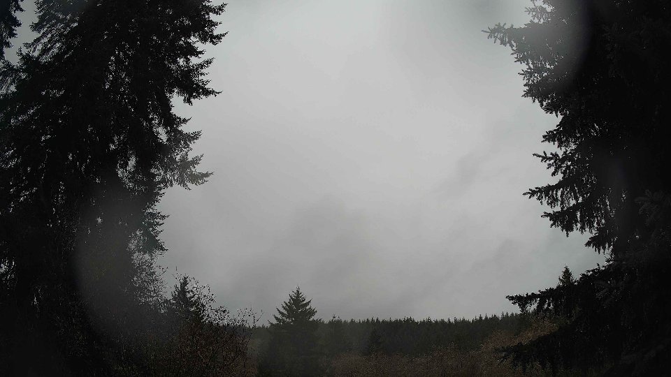
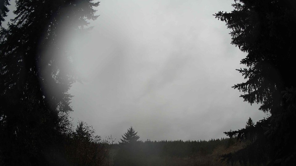
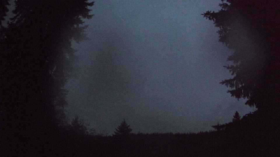
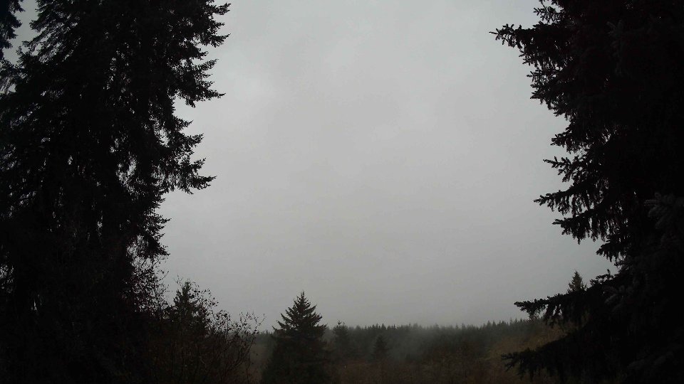
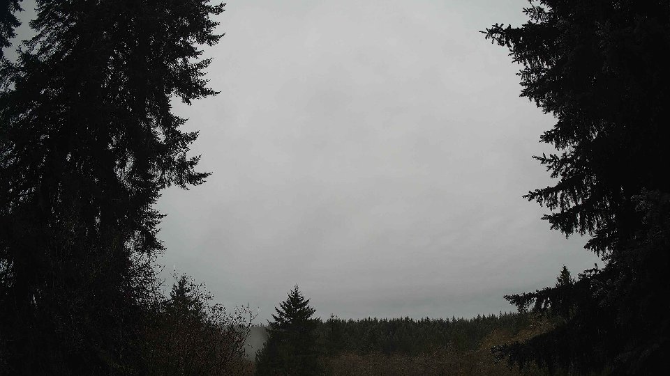
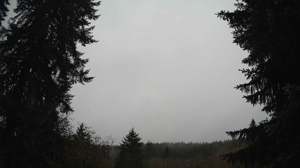
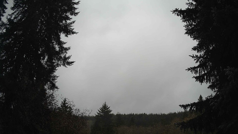
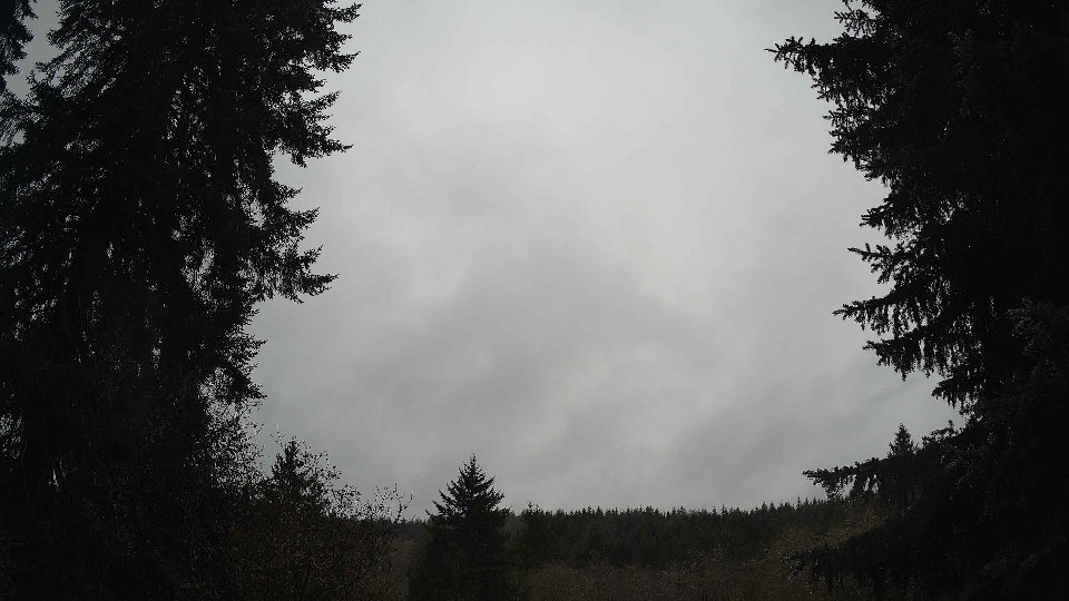
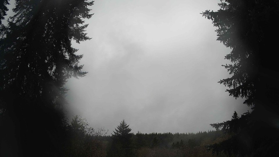
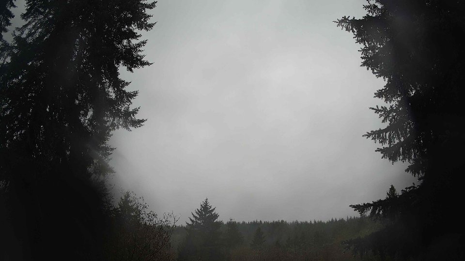
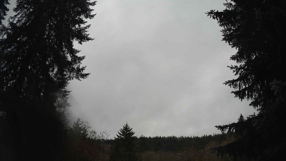
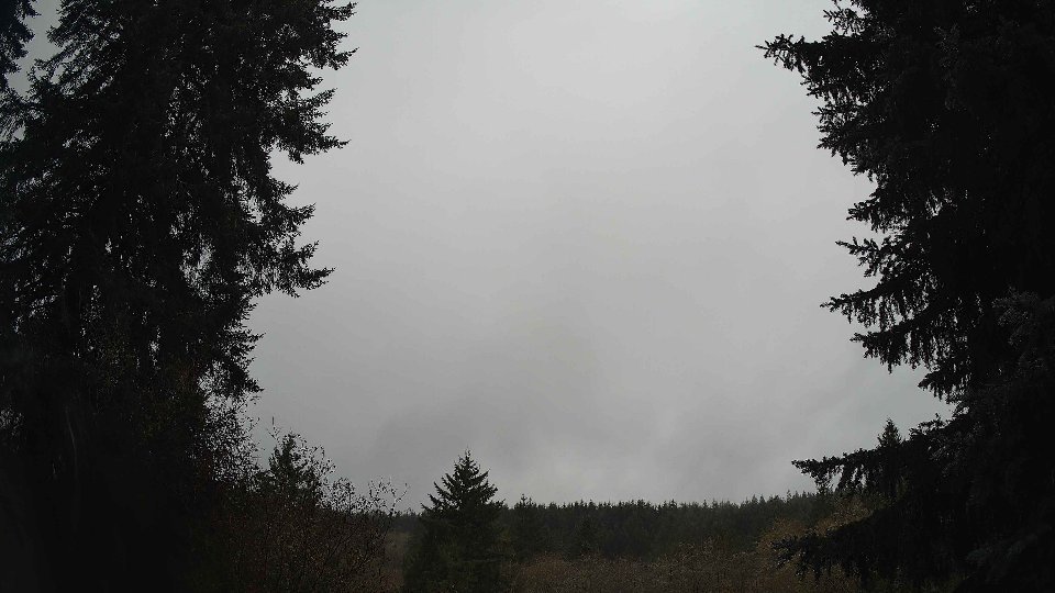
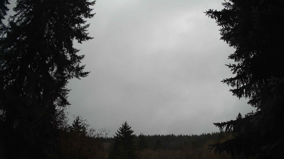
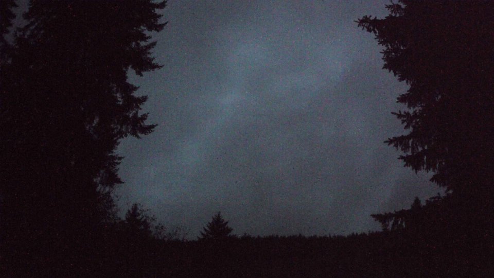
On November 30th, the day began under a blanket of nearly complete cloud cover, with an average of 96 percent obscuring the sky. The temperature started at a chilly 38°F, as gentle winds near the surface averaged only 2.6 mph. At higher altitudes, things were slightly more dynamic; winds at 100 meters reached approximately 3.2 mph. The low cloud layer, which comprised 91 percent of the total cloud cover, created a thick, gray ceiling, while high clouds added to the visual complexity, accounting for 88 percent of the upper layer. Despite the low surface winds, the interaction between these gentle breezes and the dense low-level clouds presented a relatively stable weather environment, free from turbulence. However, the winds aloft hinted at the potential for interesting developments later in the day.
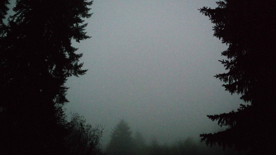
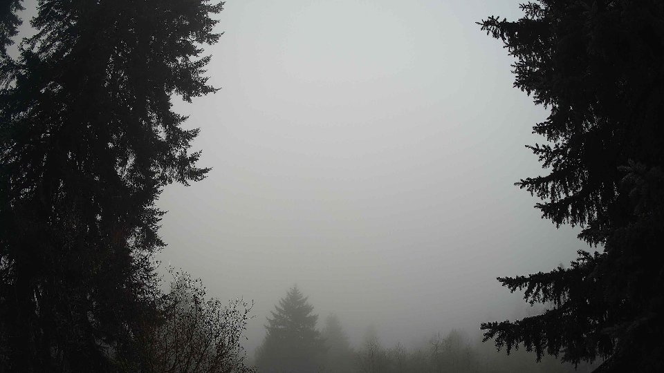
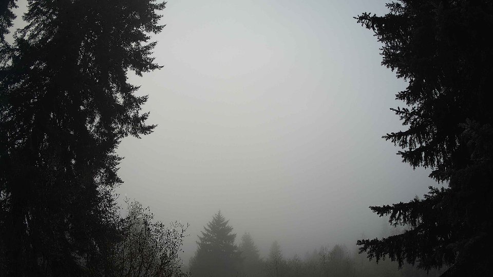
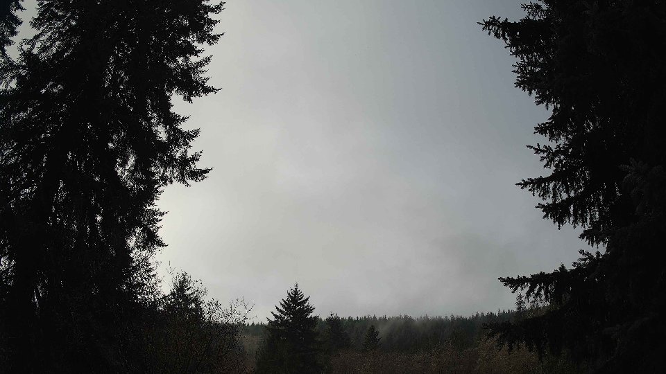
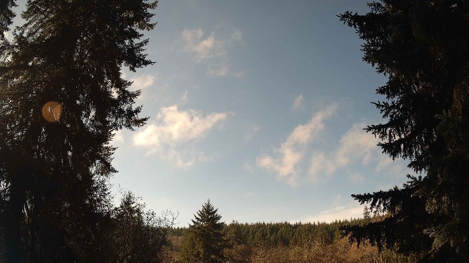
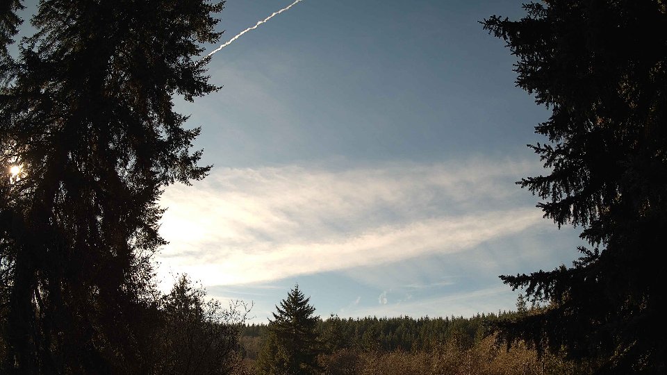
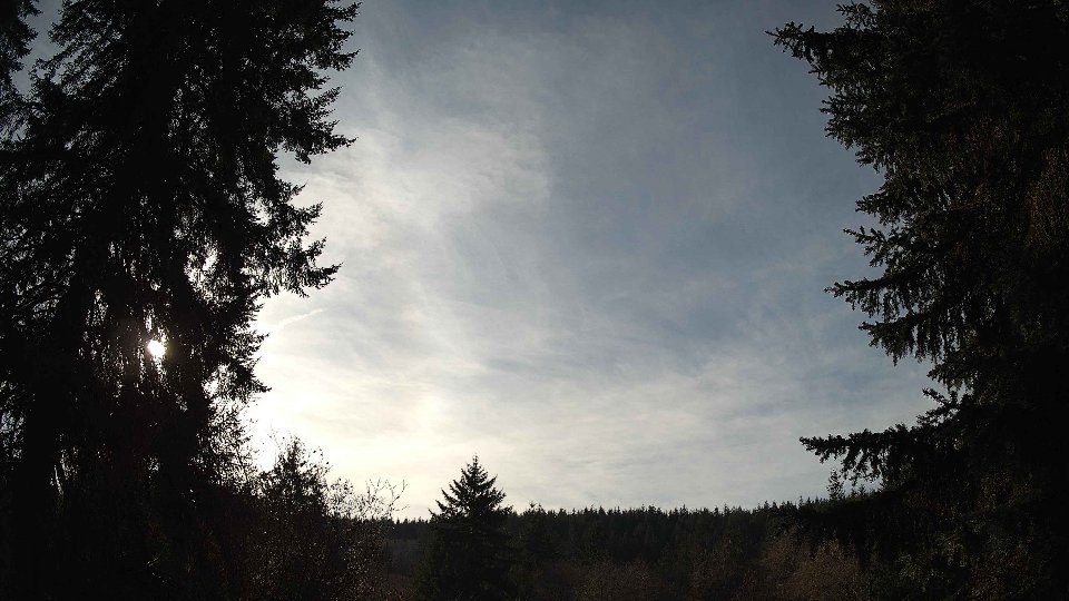
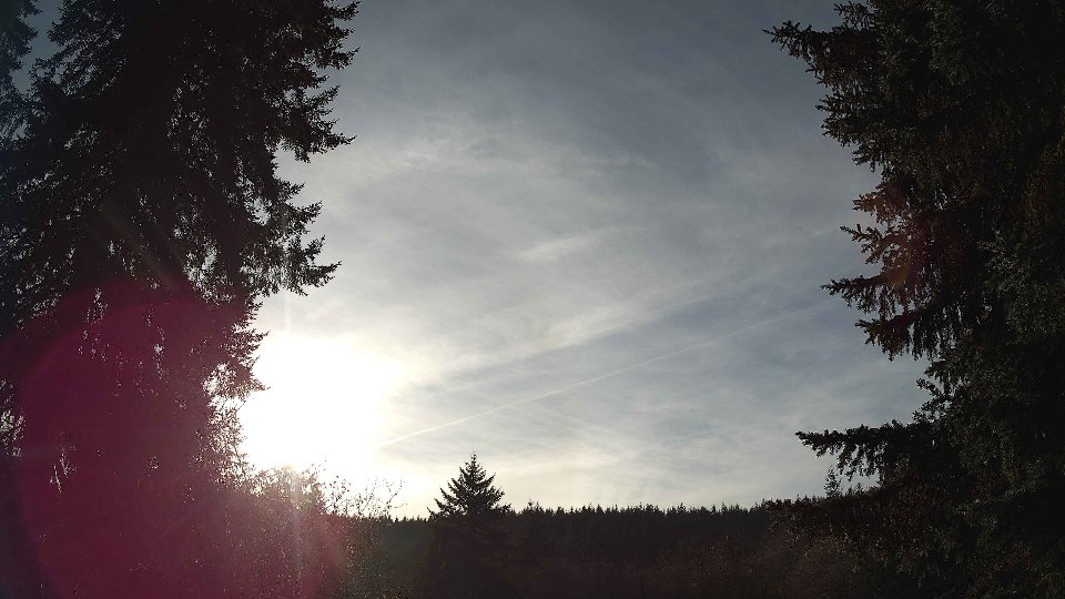
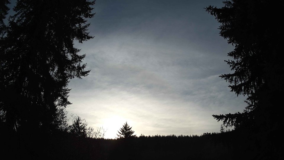
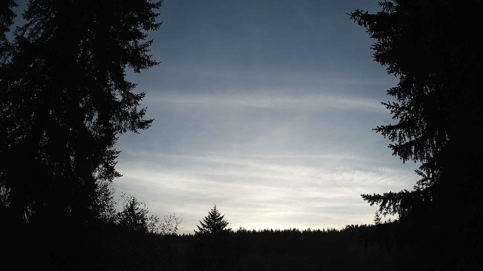
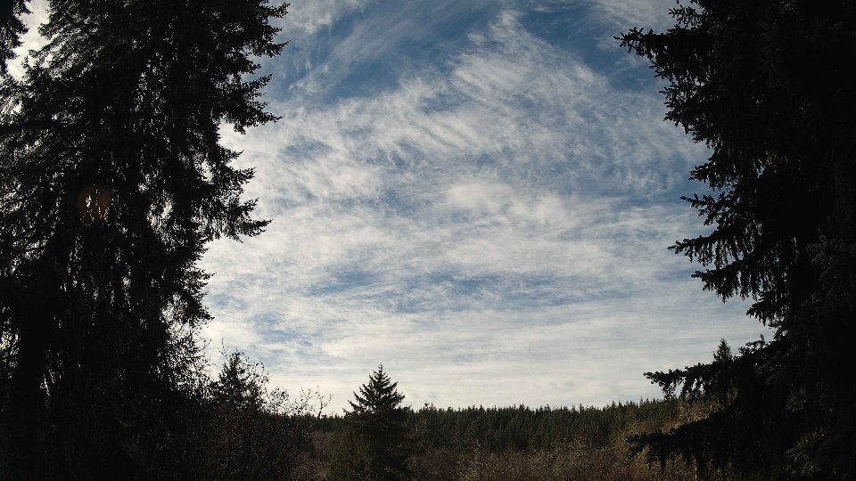
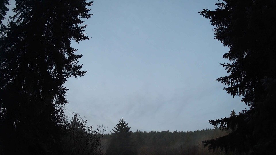
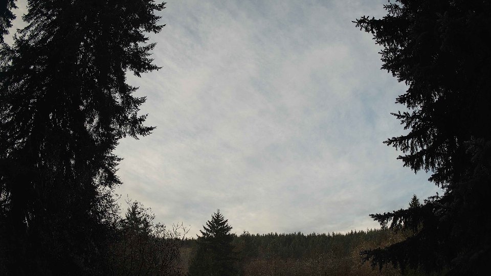
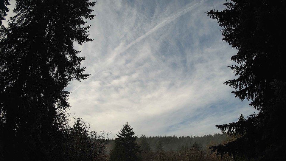
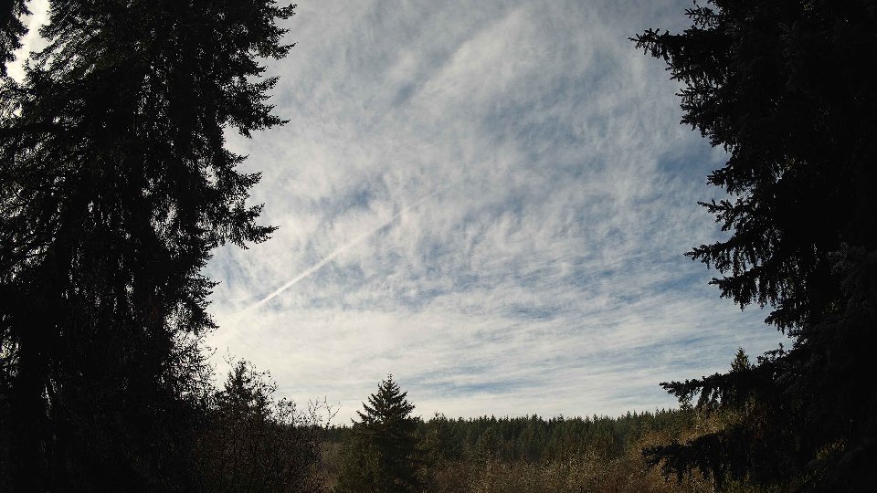
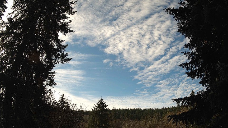
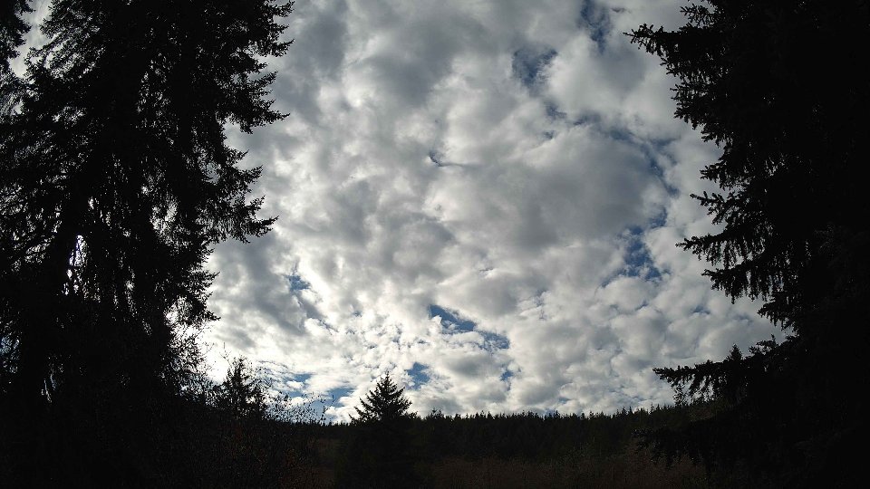
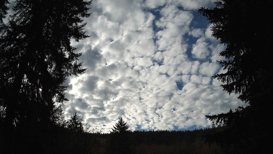
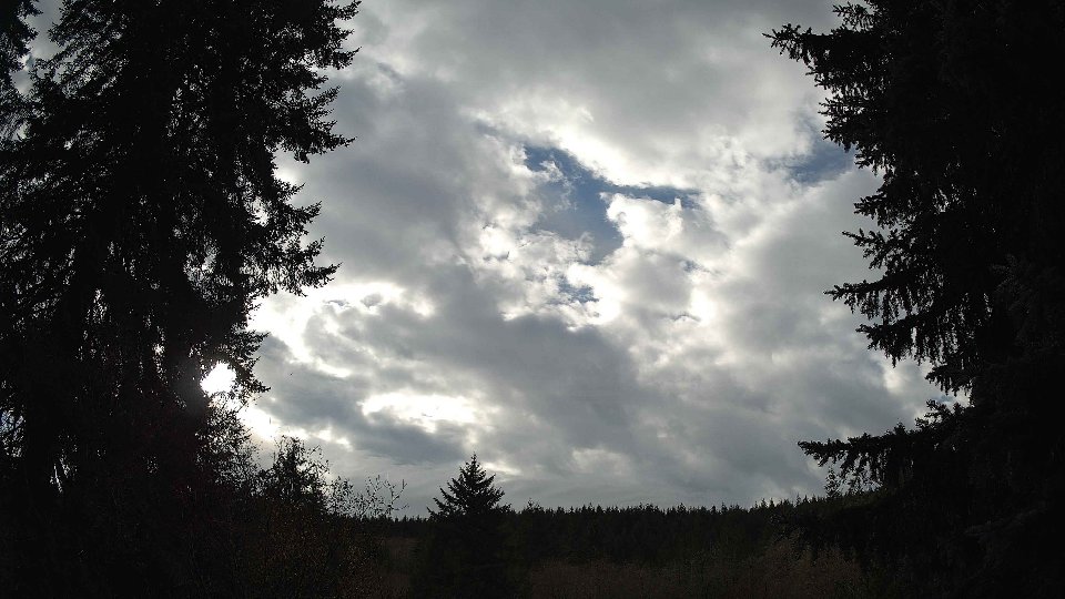
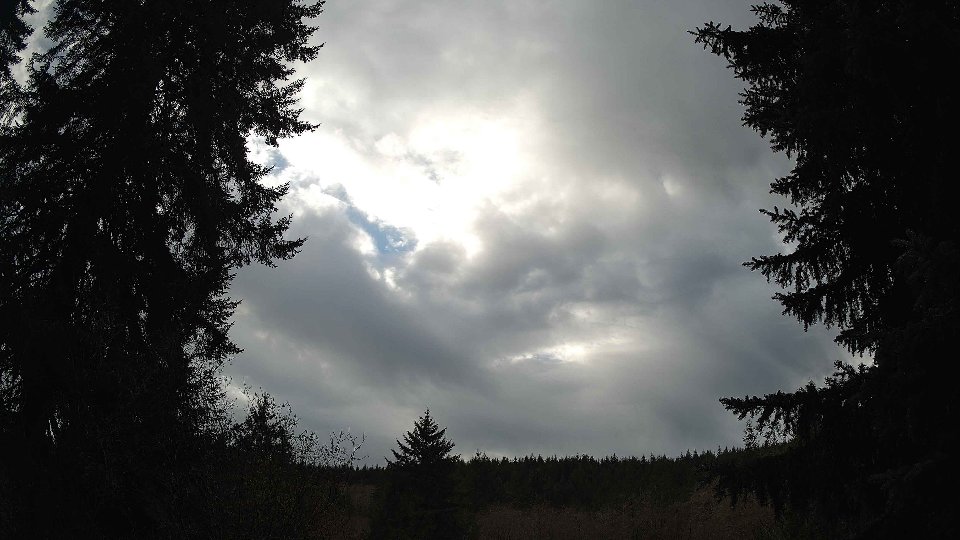
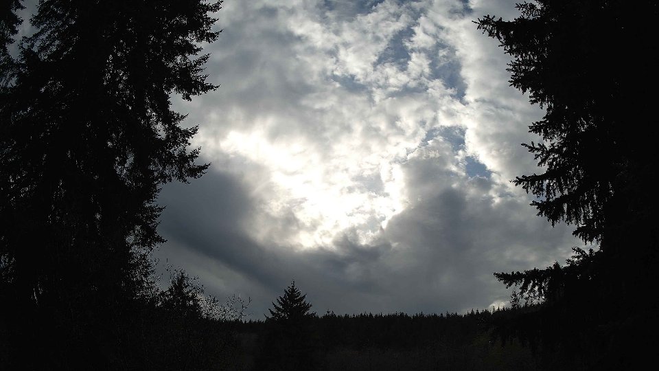
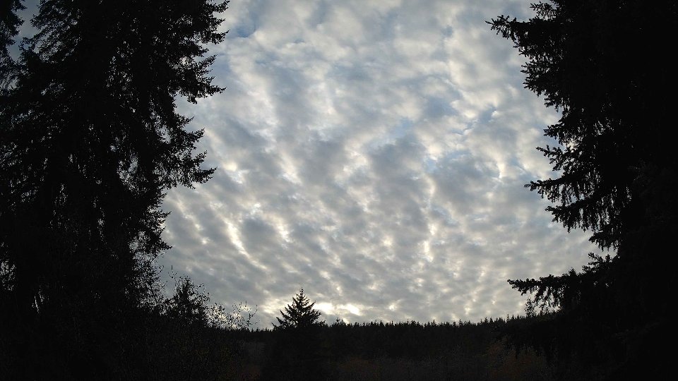
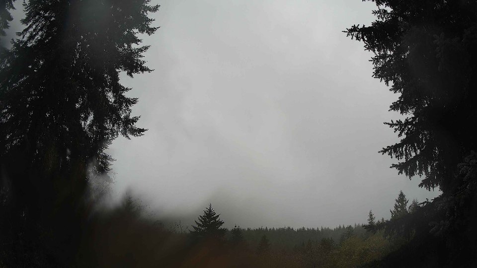
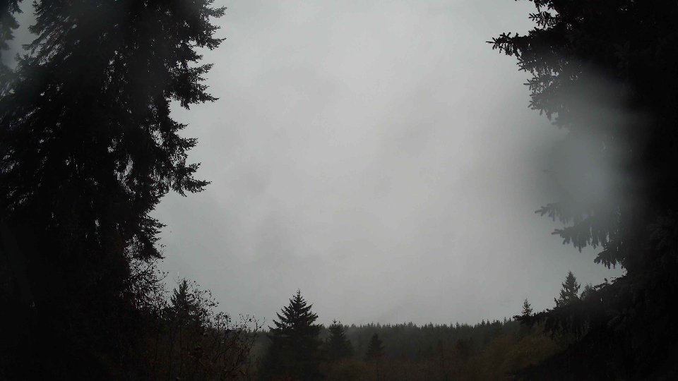
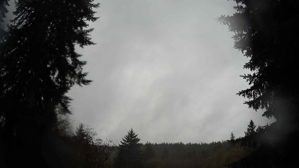
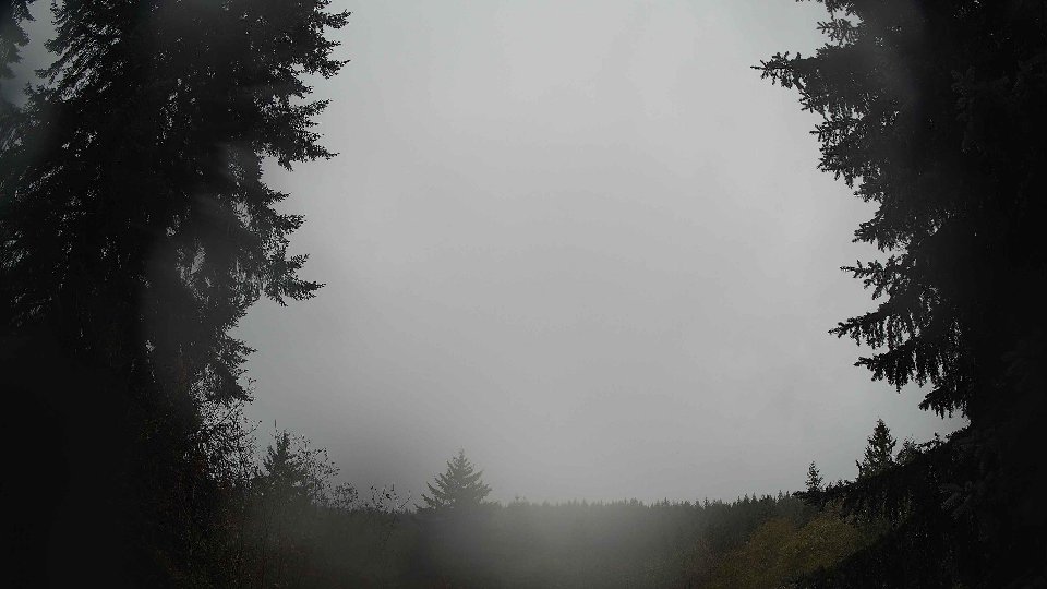
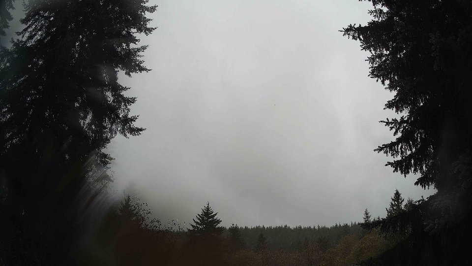
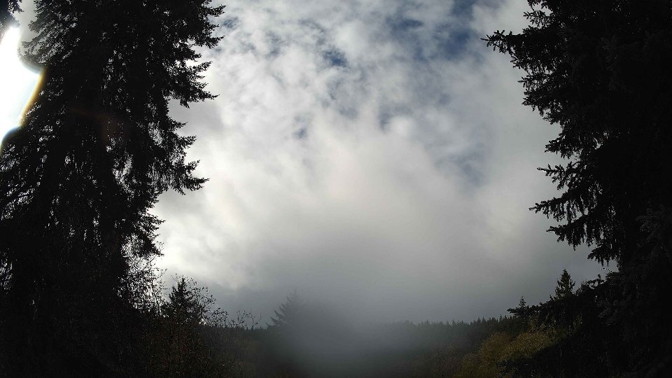
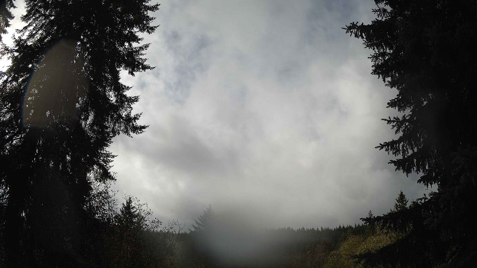
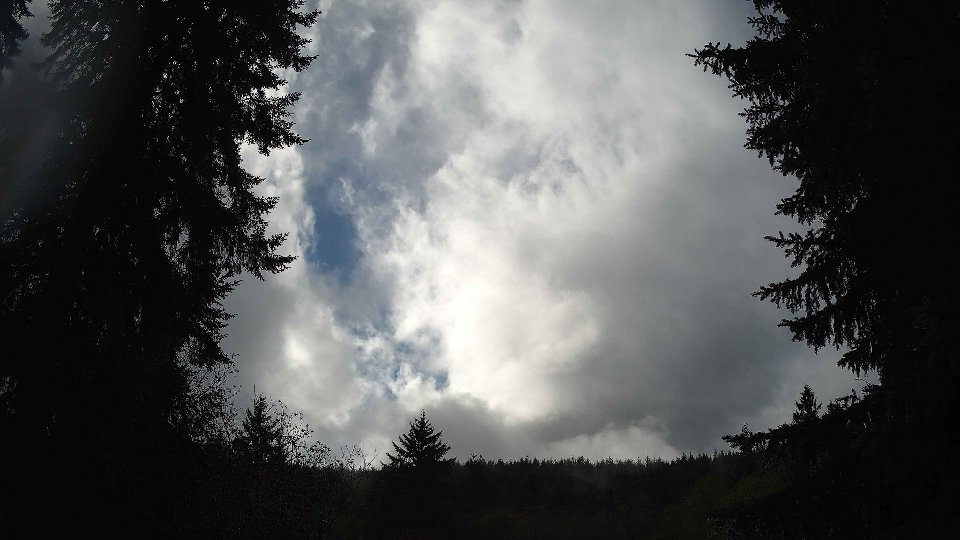
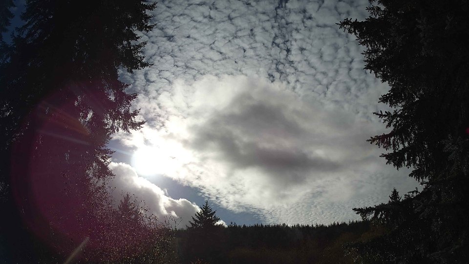
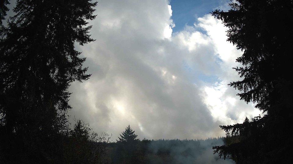
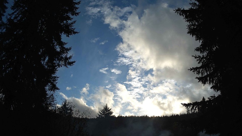
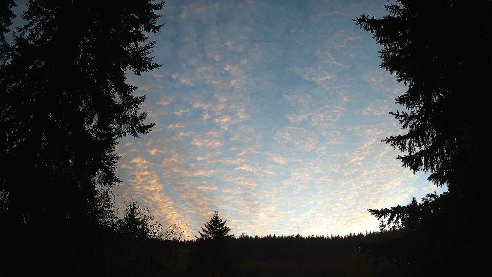
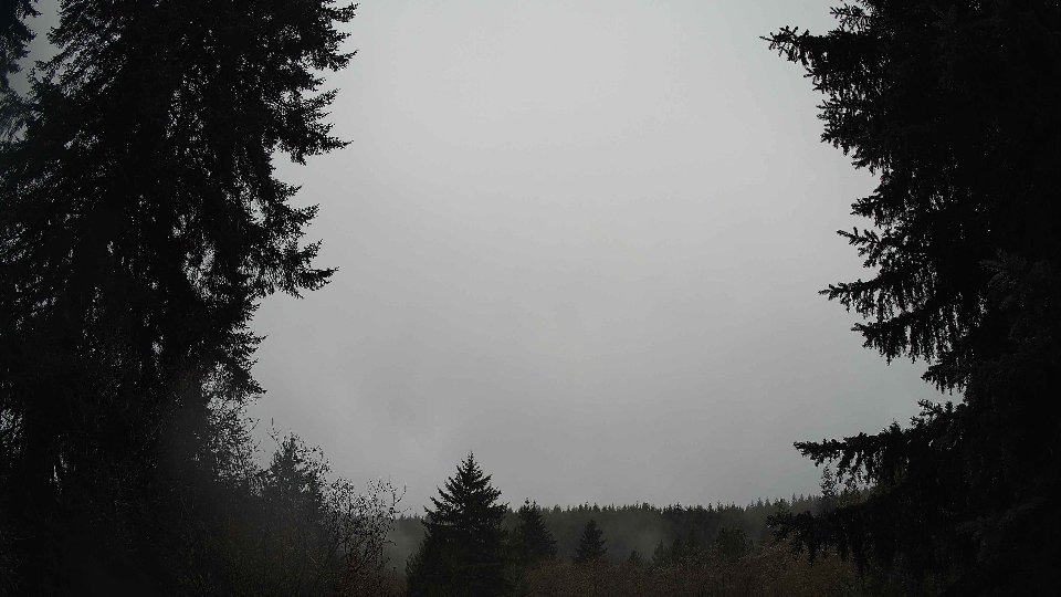
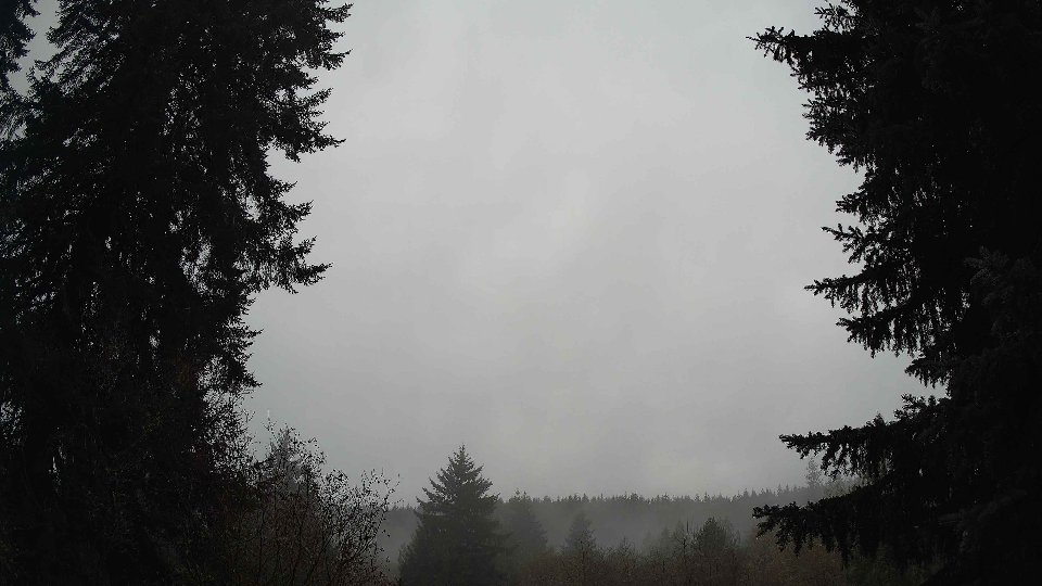
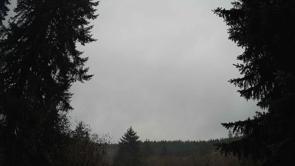
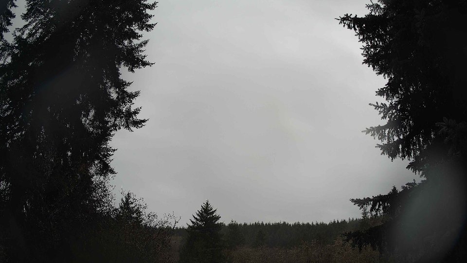
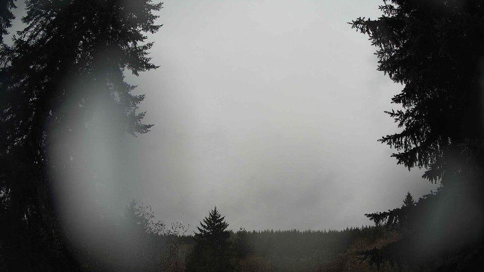
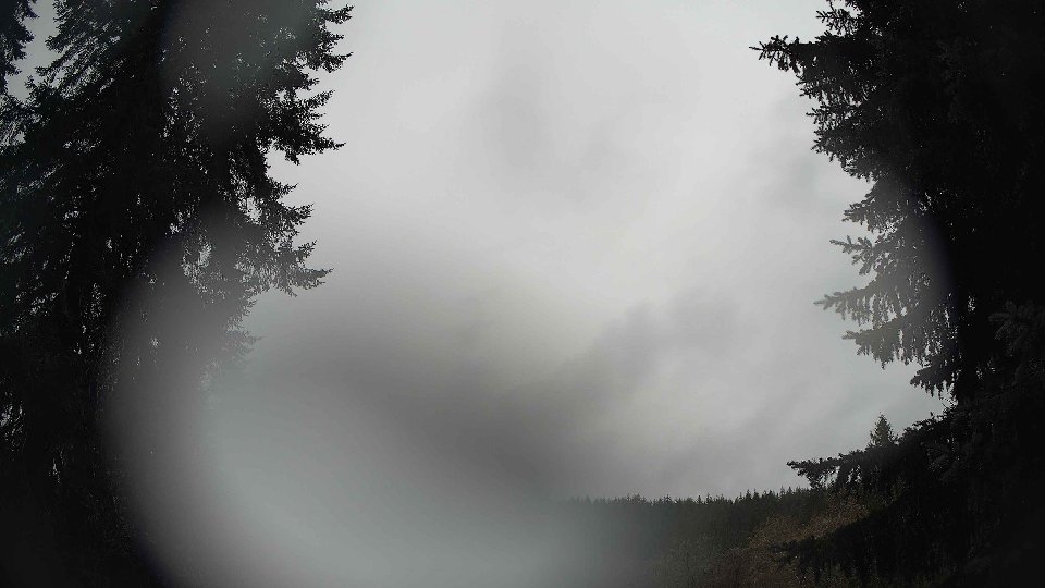
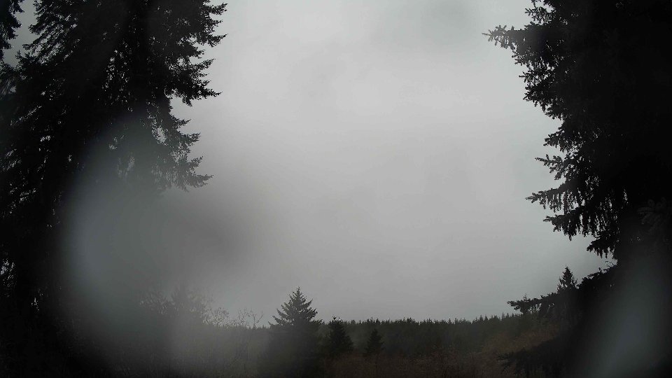
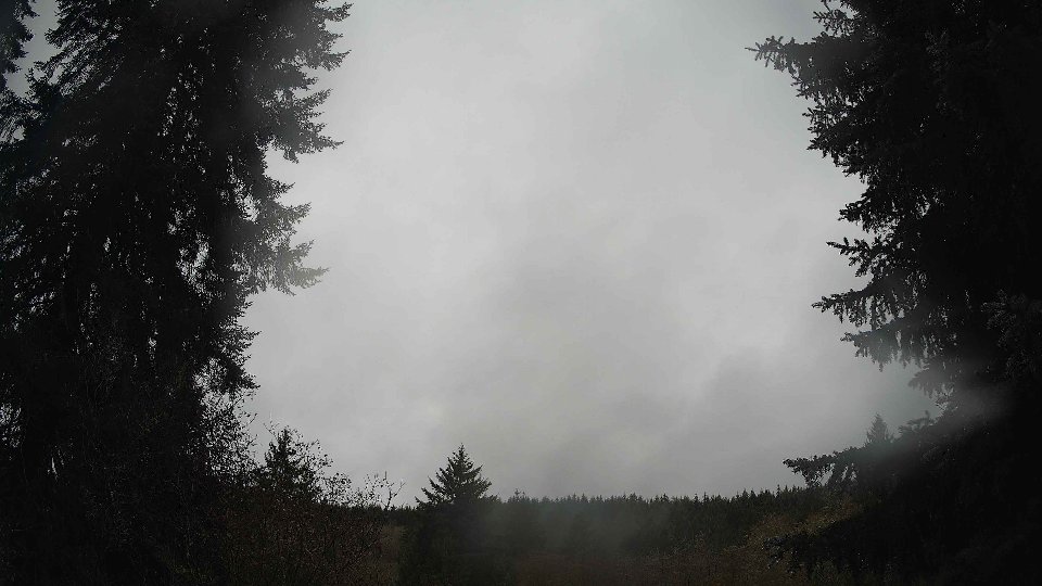
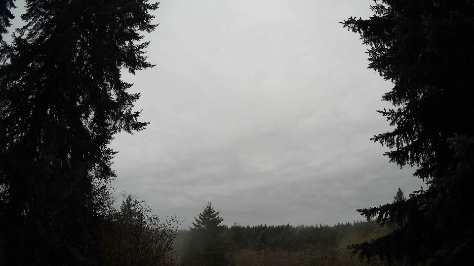
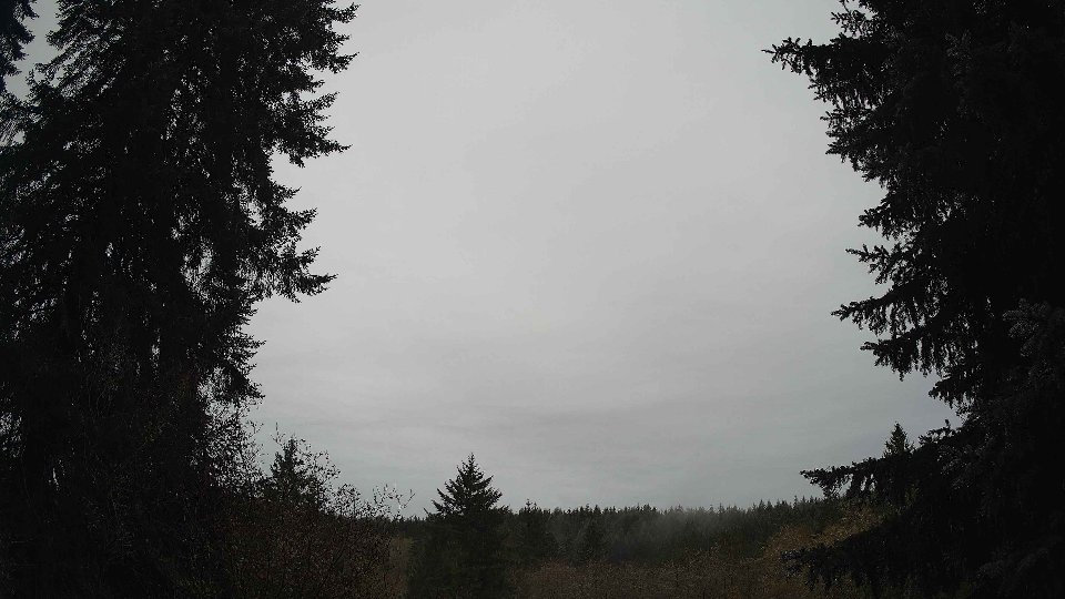
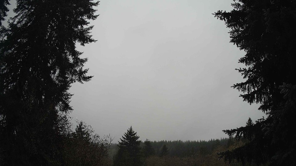
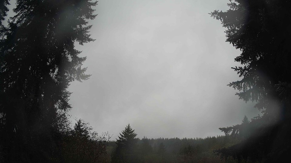
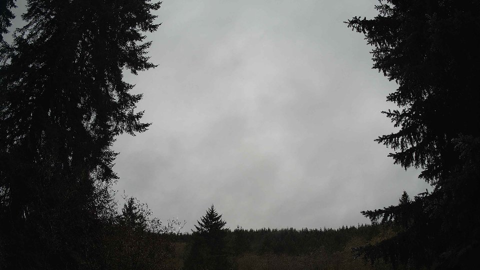
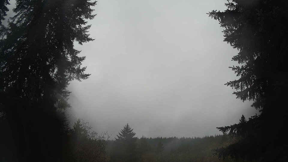
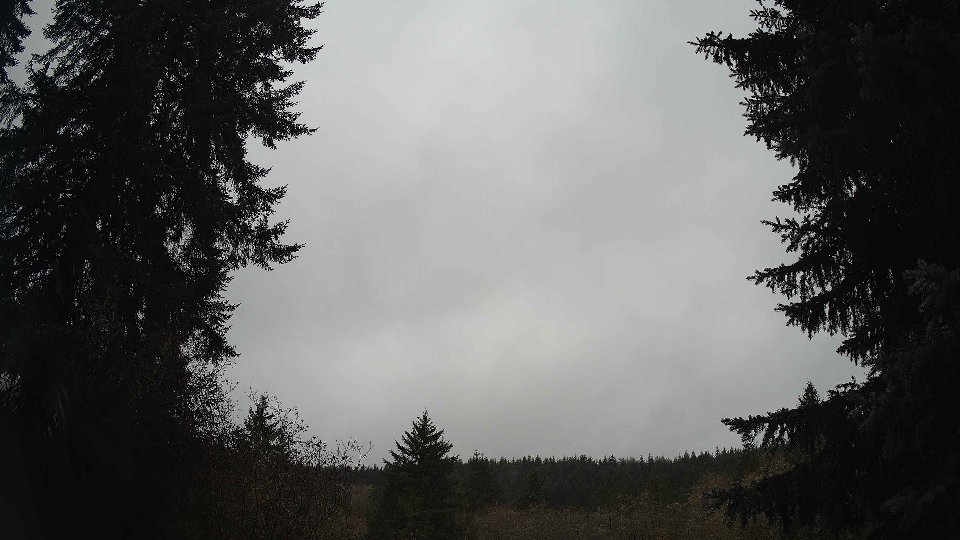
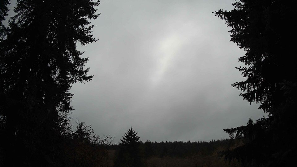
As midday approached, temperatures began to rise, averaging 45°F. The cloud cover remained impressively uniform, hovering around 96 percent, but the composition began to shift. Low clouds dropped to 1.5 percent, creating a more pronounced layer of high clouds, which now comprised 96 percent of the visible sky. Winds at the surface increased slightly to 2.8 mph, while winds at 100 meters picked up pace to an average of 3.7 mph. This gentle rise in wind speed hinted at the beginning of a subtle breeze that might stir the clouds. As the day progressed, the conflict between the slower surface winds and the faster winds aloft introduced a light turbulence, causing the high clouds to drift more swiftly across the sky, creating a dynamic but stable layering effect that danced above the low-lying gray.
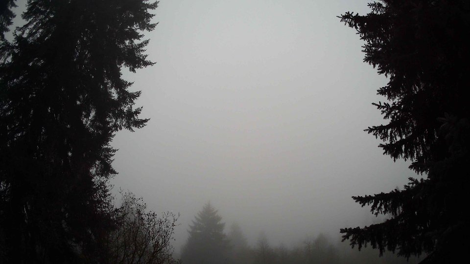
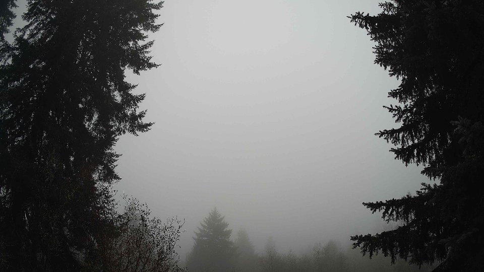
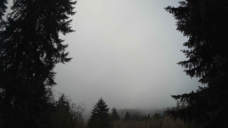
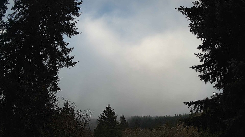
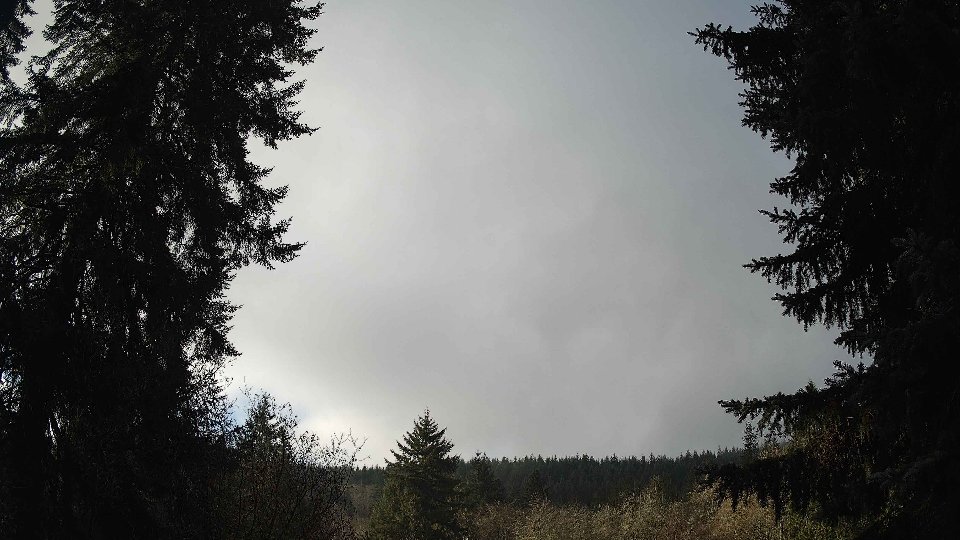
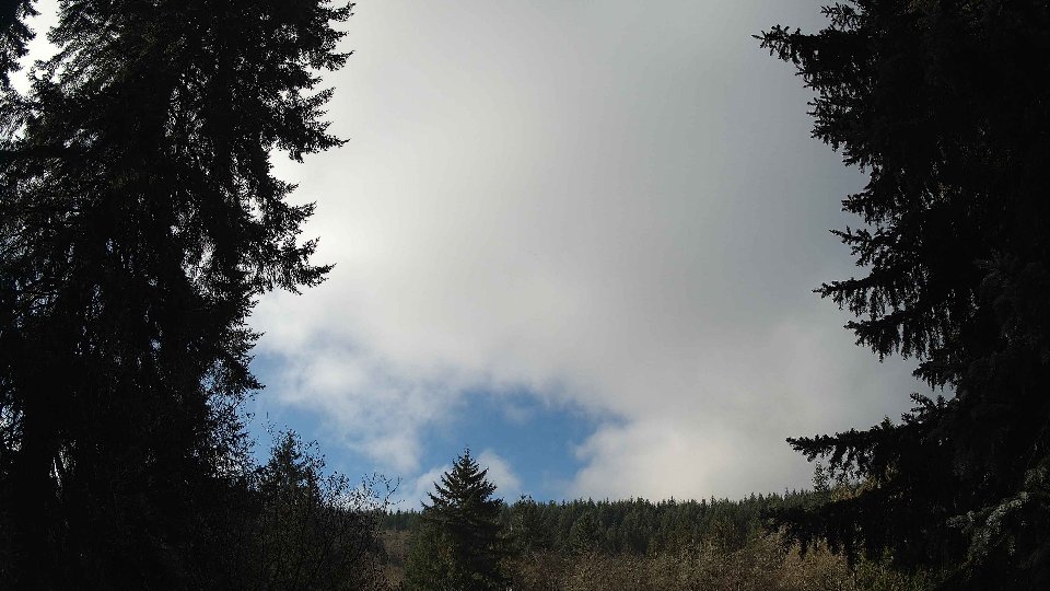
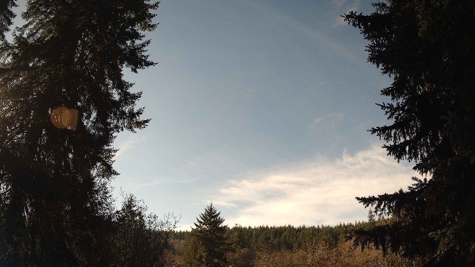
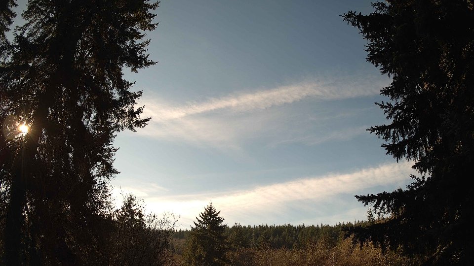
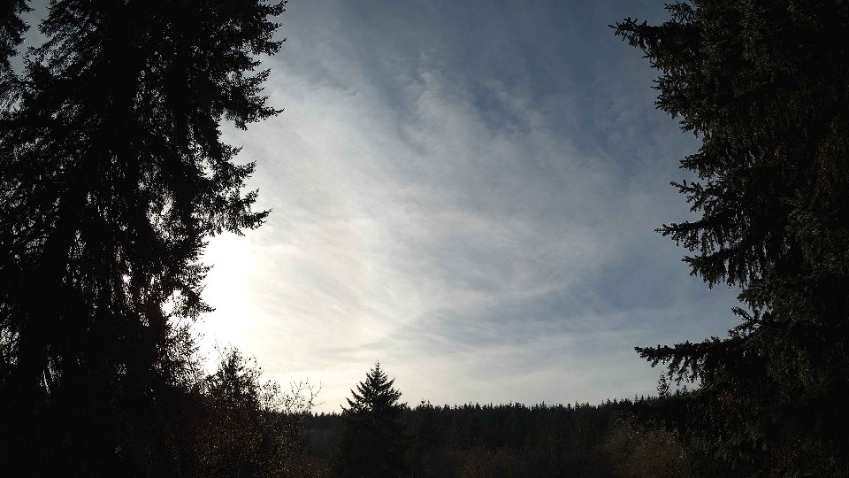
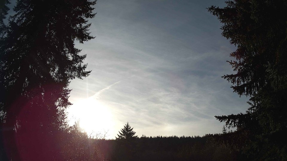
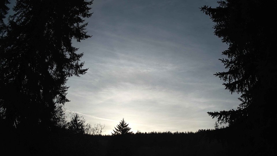
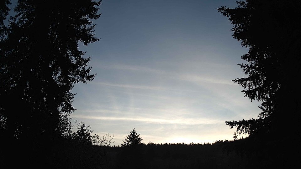
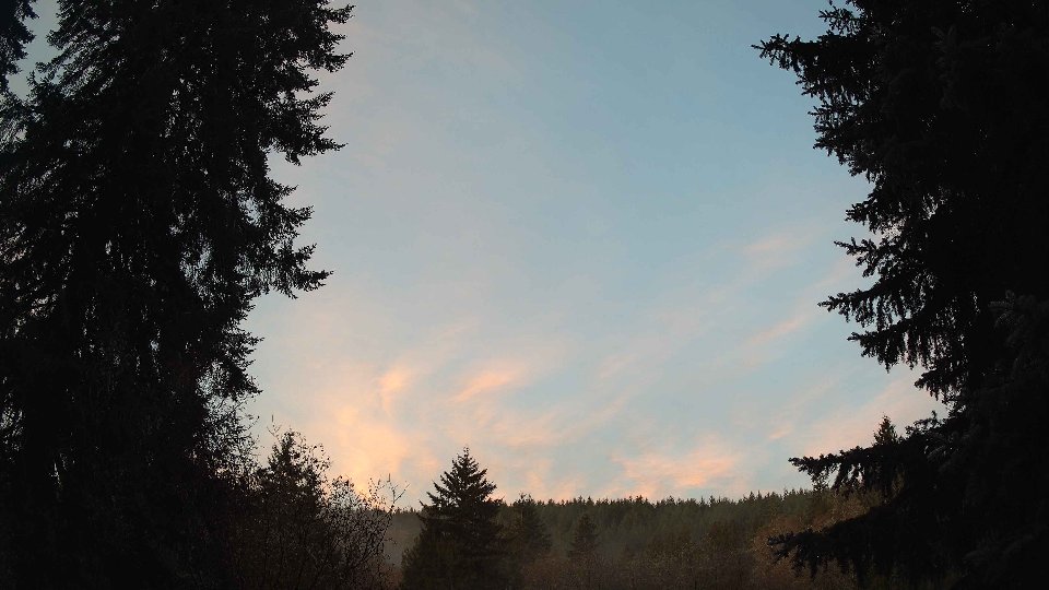
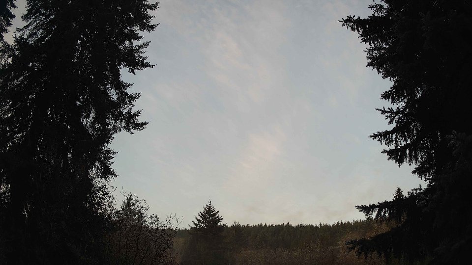
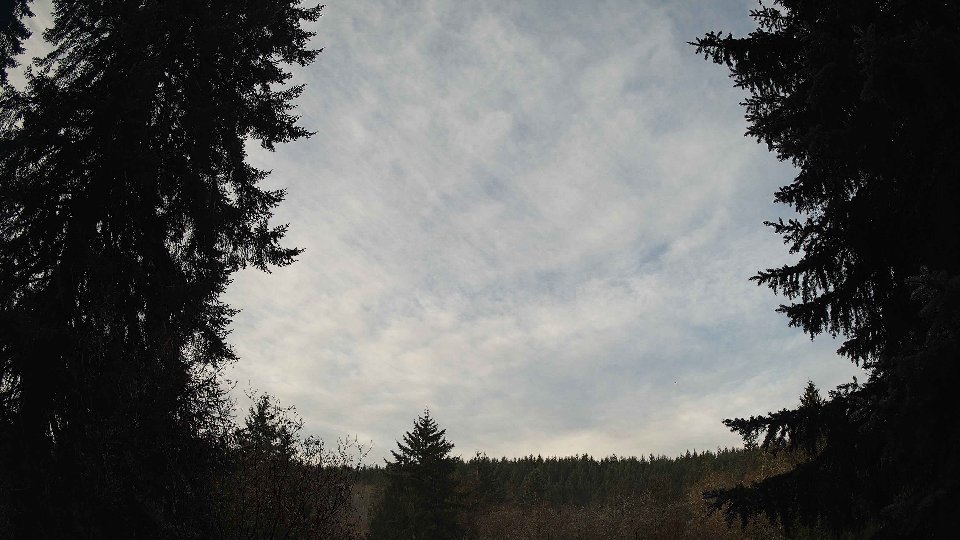
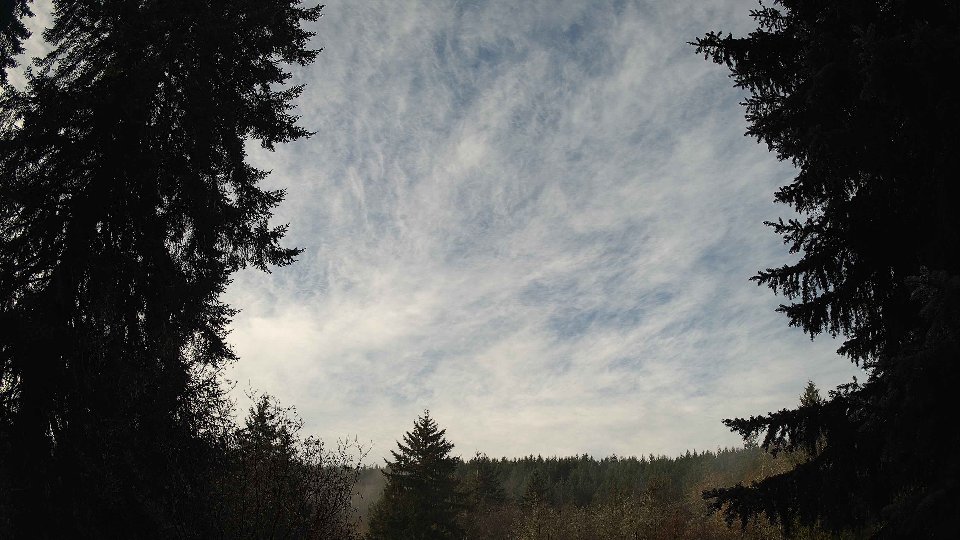
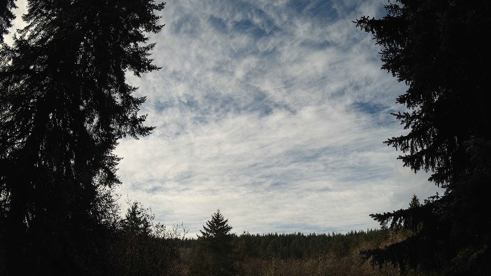
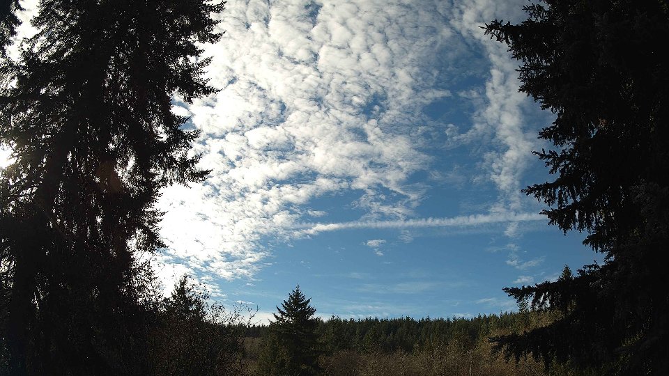
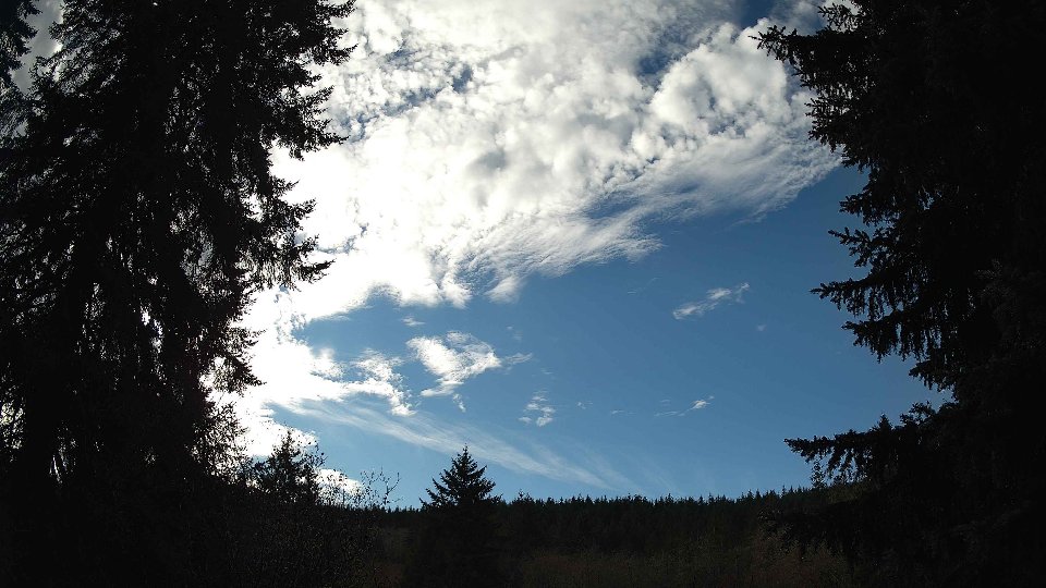
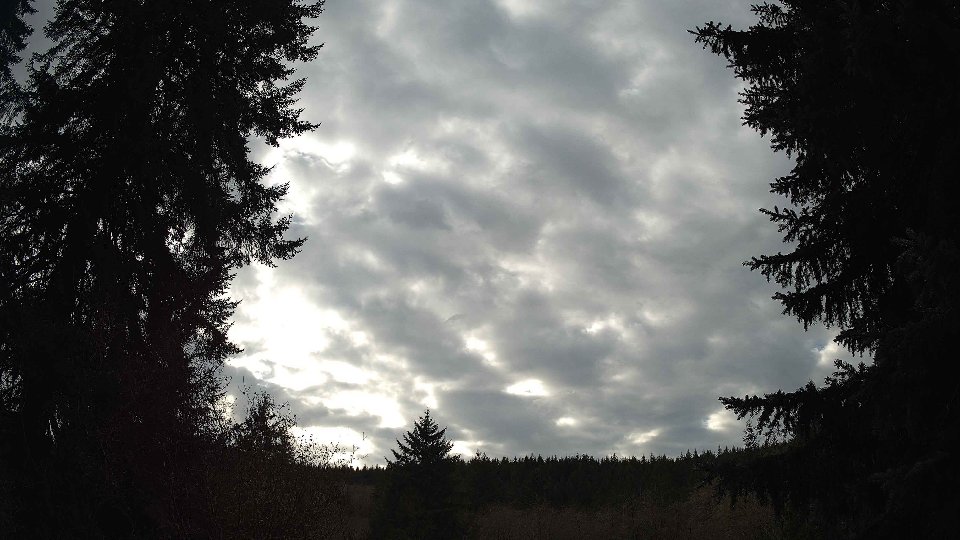
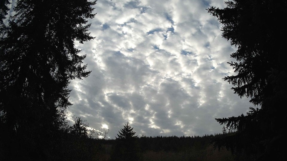
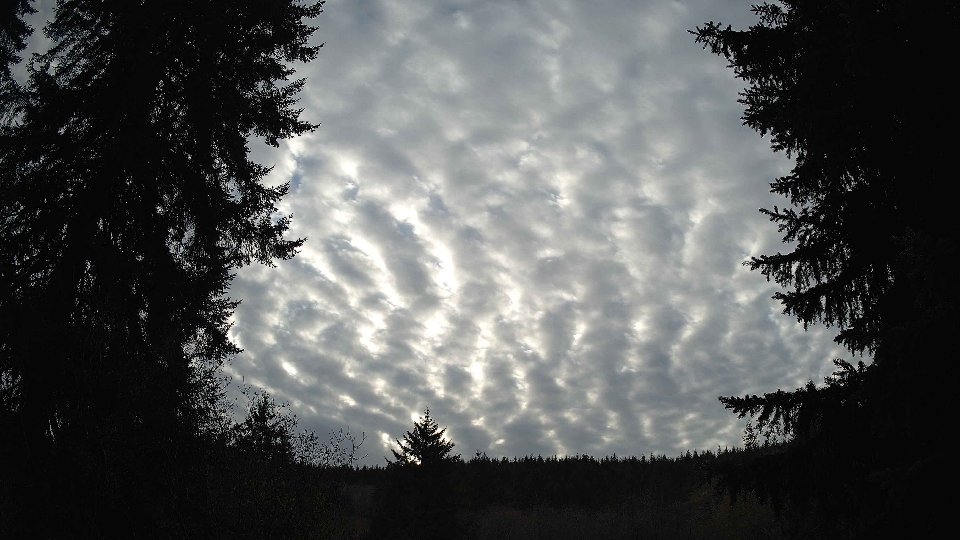
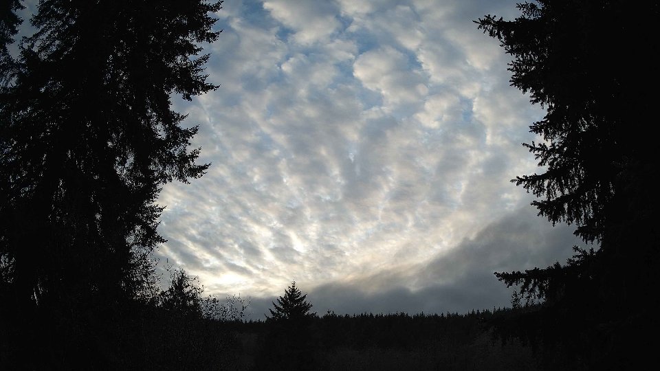
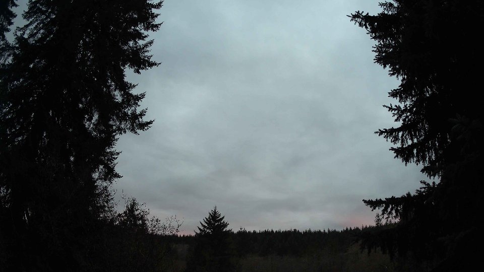
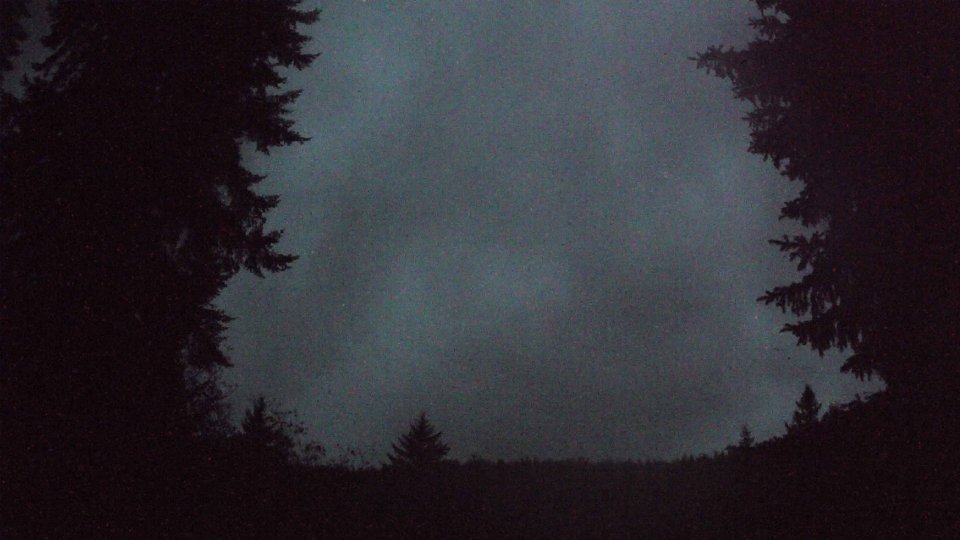
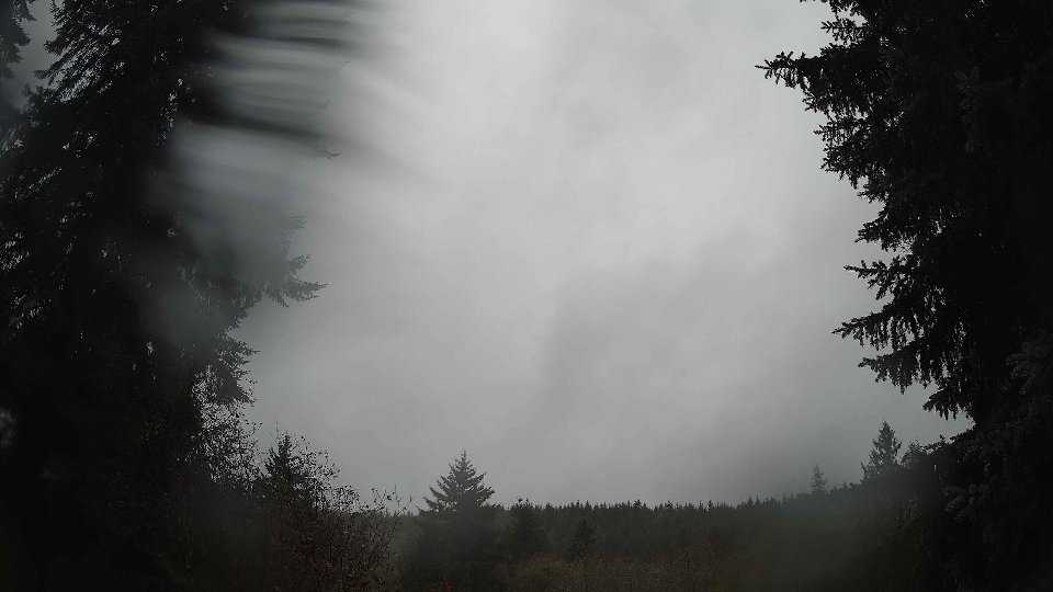
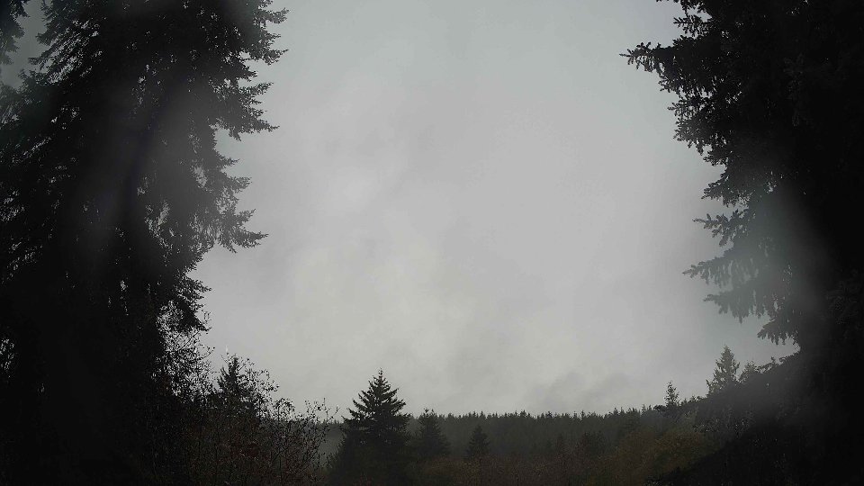
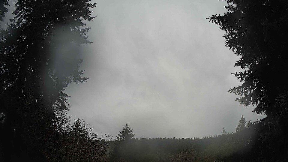
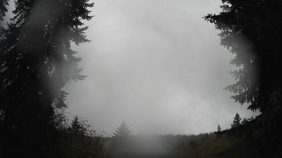
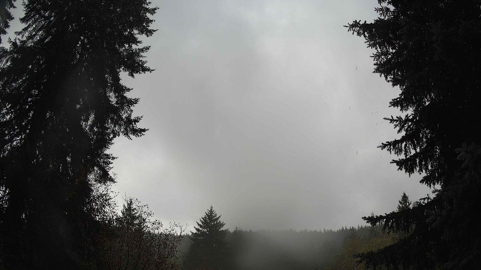
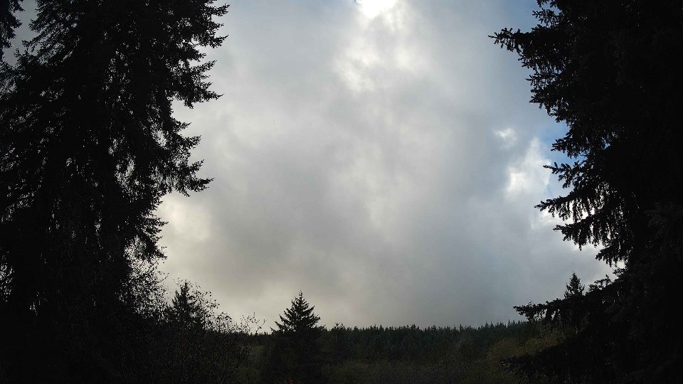
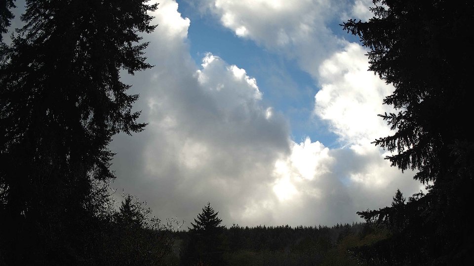
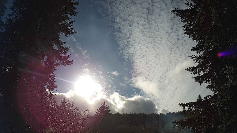
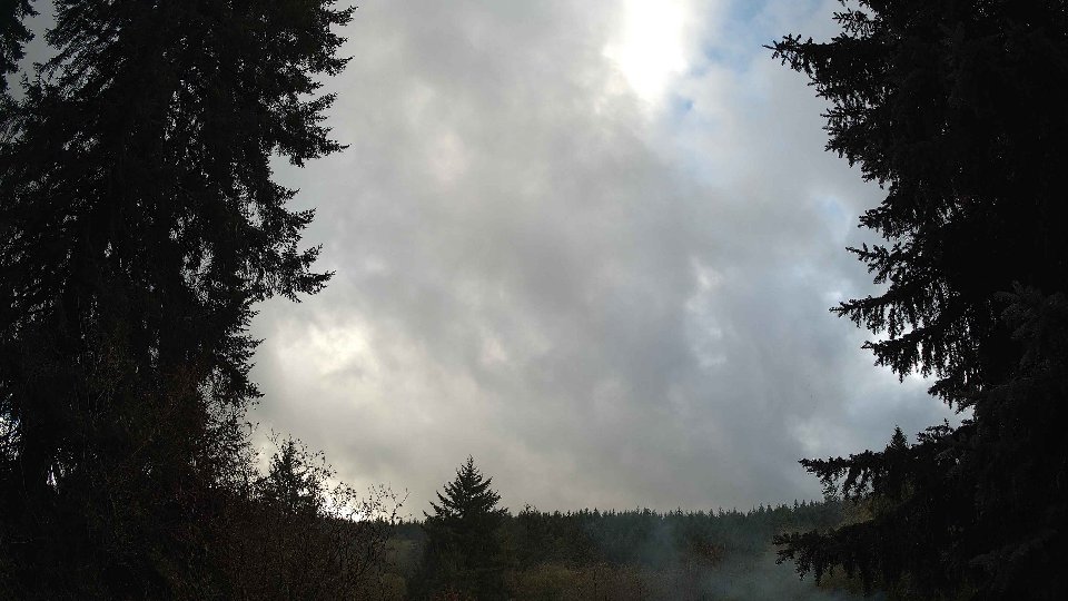
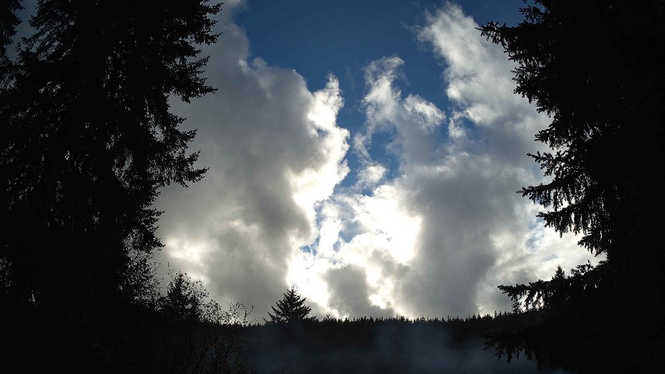
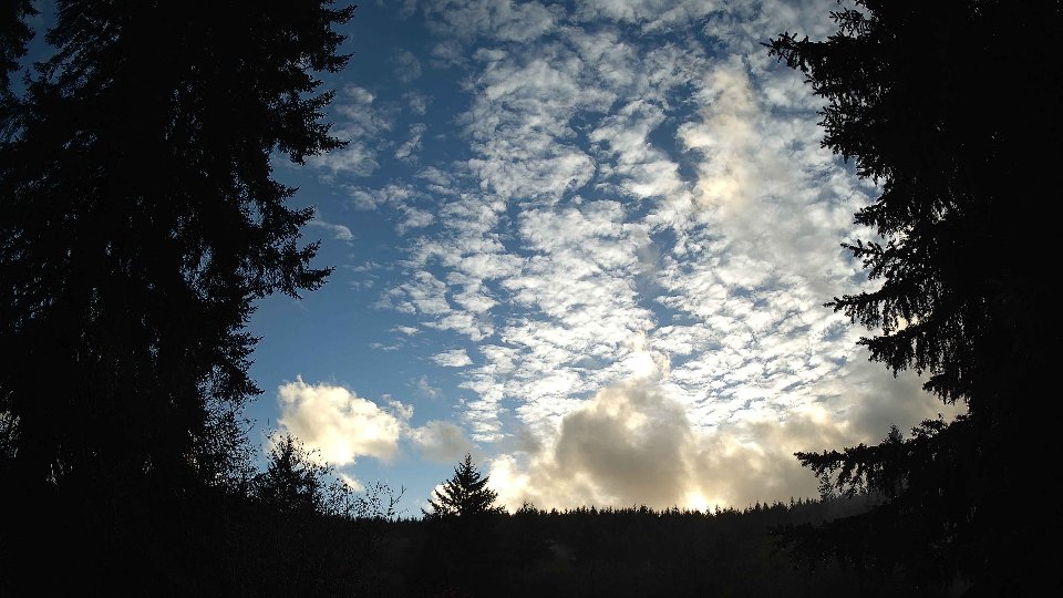
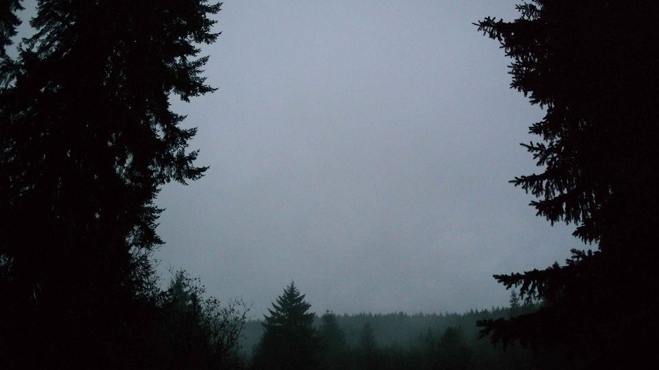
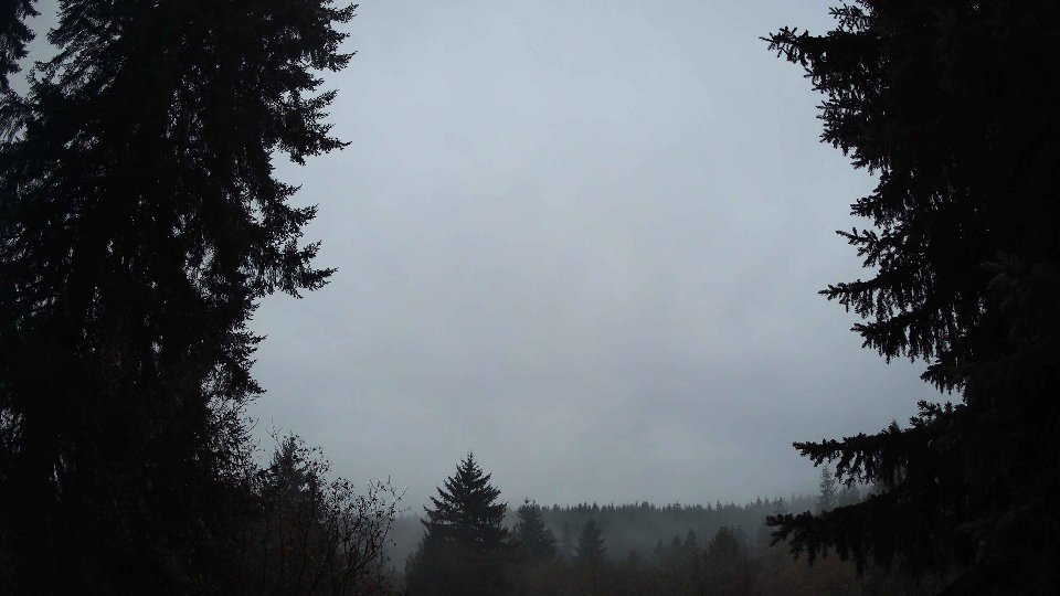
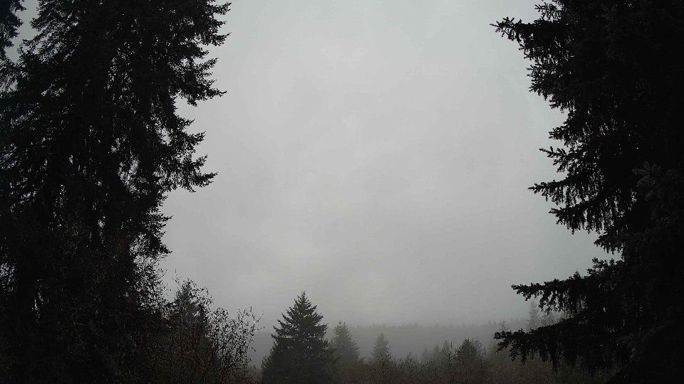
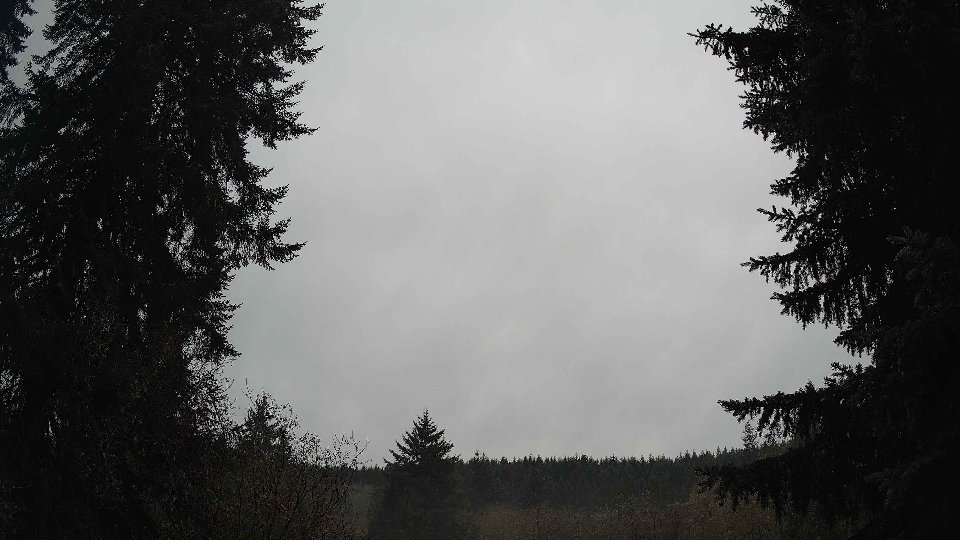
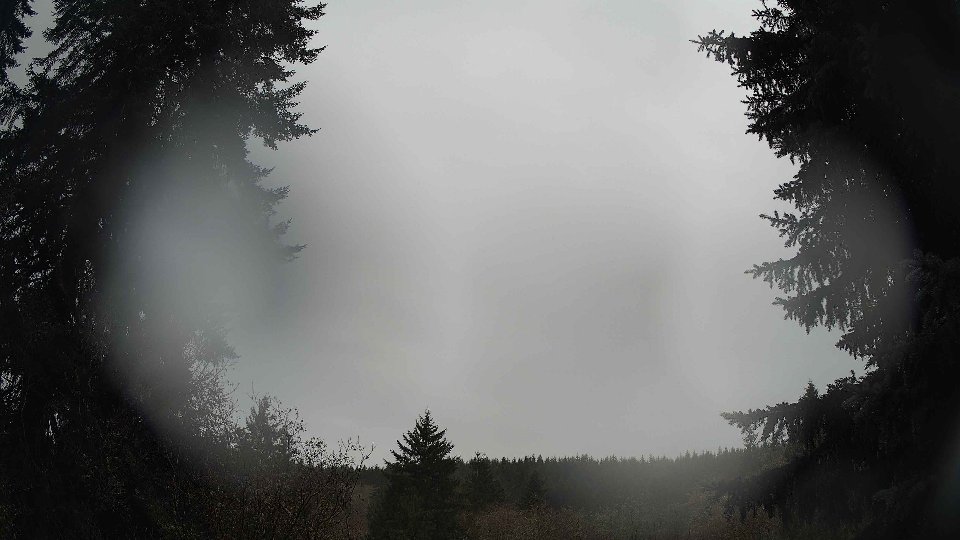
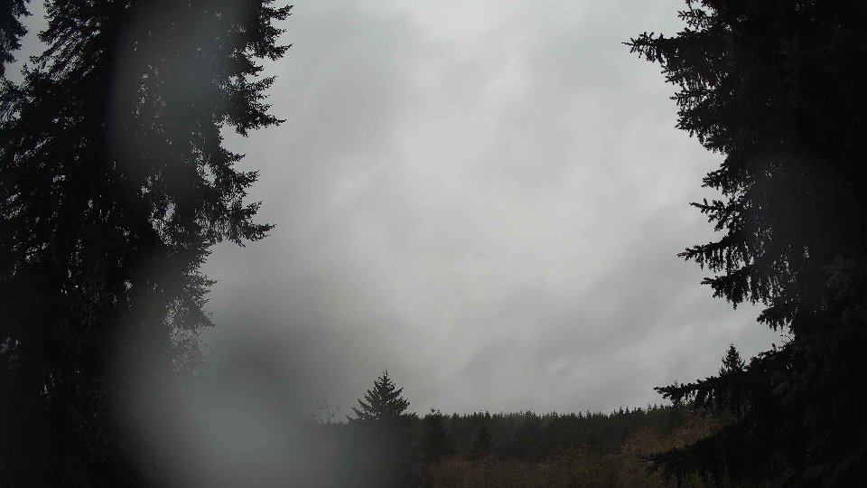
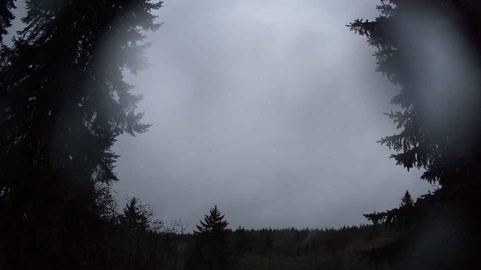
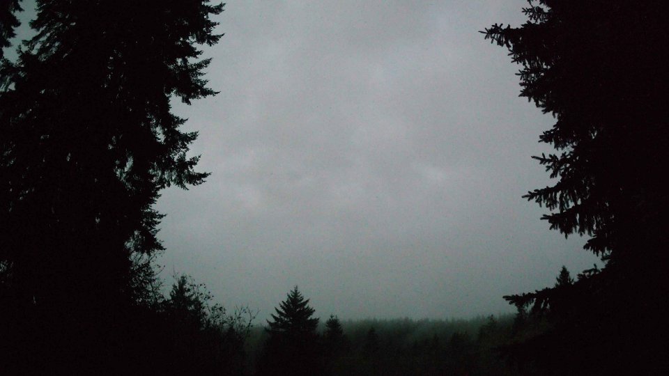
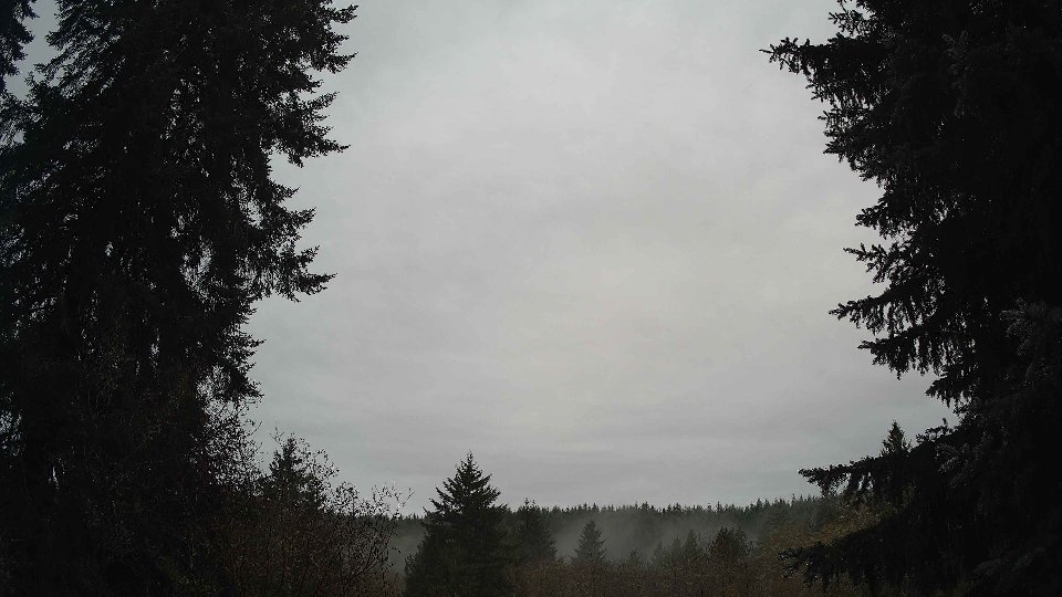
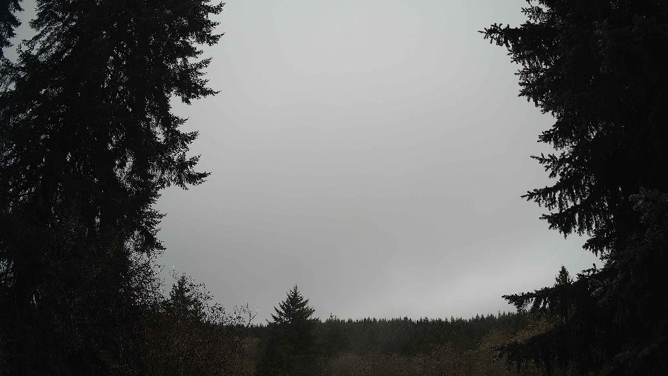
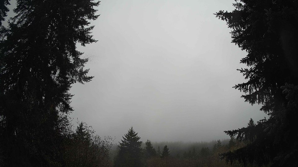
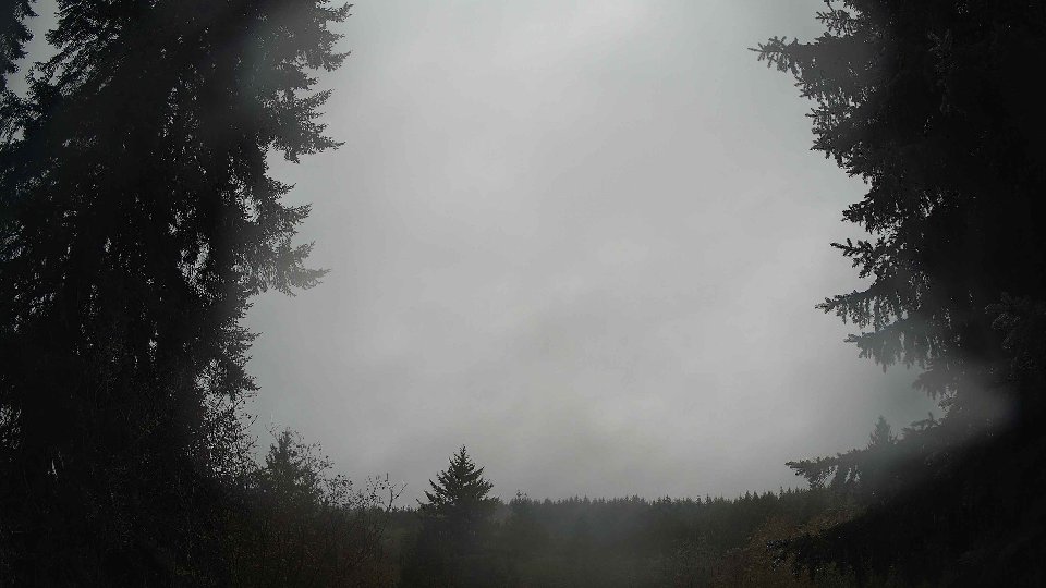
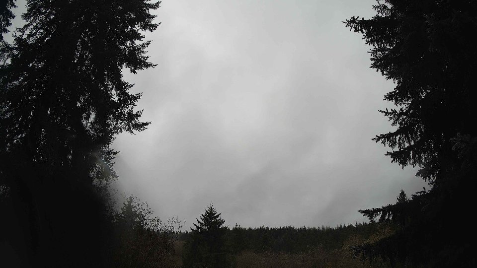
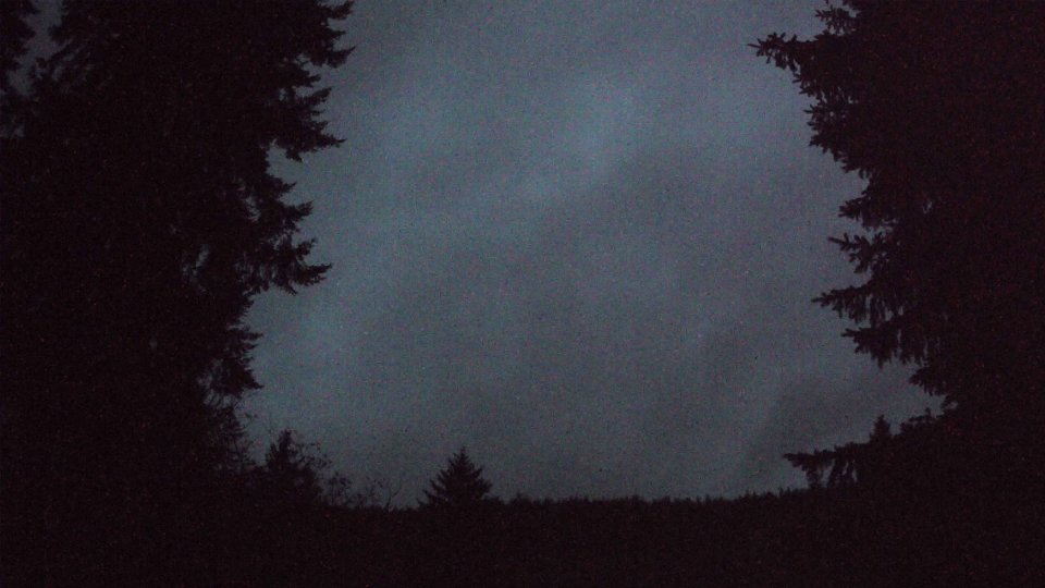
As evening approached, the temperature dipped slightly to around 42.1°F, while the cloud cover persisted at 96.3 percent, continuing the trend of a heavily clouded sky. Surface winds remained steadied at 2.8 mph, but winds at 100 meters increased notably to 6.2 mph, establishing a clearer differentiation between the layers. This increase in wind speed at higher altitudes contributed to a more pronounced wind shear effect, amplifying the turbulence between the slower-moving surface winds and the more aggressive breezes aloft. Throughout the evening, the high clouds appeared to streak across the sky, giving the impression of swift movement, while the lower layers remained stubbornly still. This combination of persistent cloudiness, subtle temperature fluctuations, and varying wind dynamics painted a captivating portrait of November weather in the Pacific Northwest, revealing the beautiful intricacies of winter skies.
November 30th, 2025 Timeline
Screenshots with weather data (wind layers, clouds, precipitation)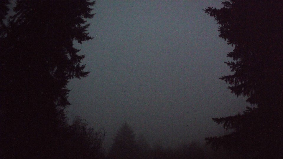


Weather Info for November 30th, 2025
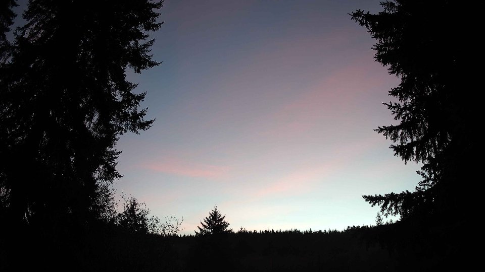
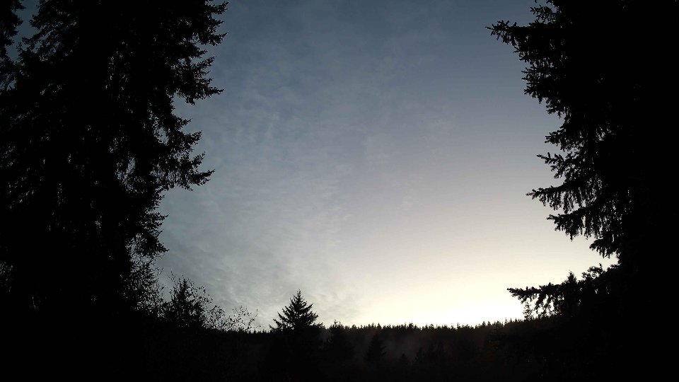
Sunset: 4:28 PM