December 4th, 2025 Timelapse
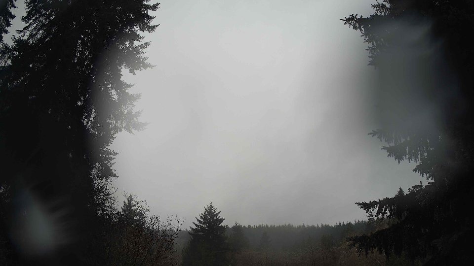
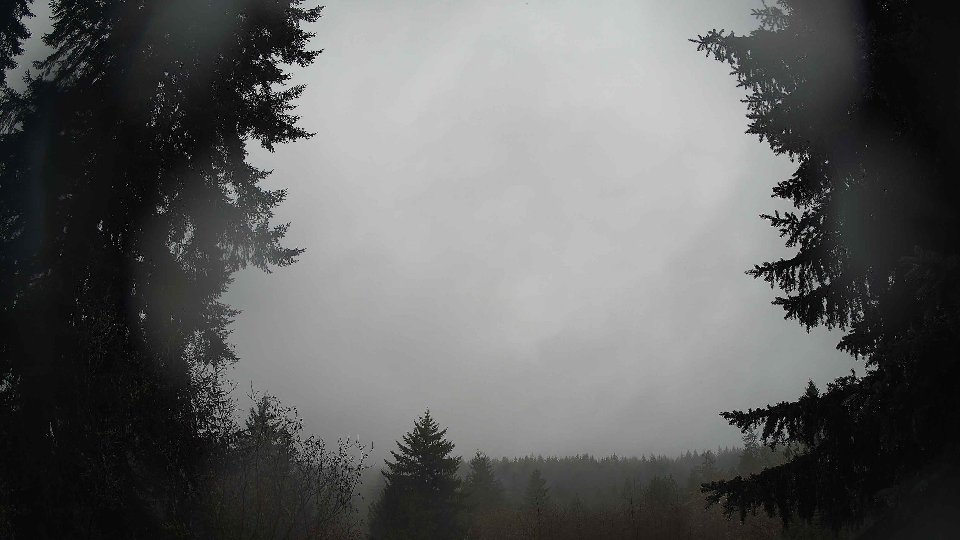
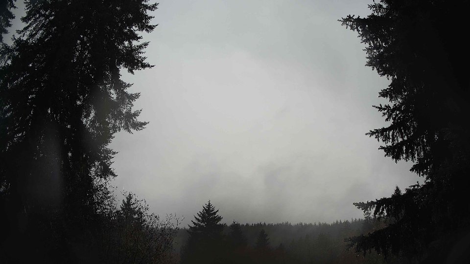
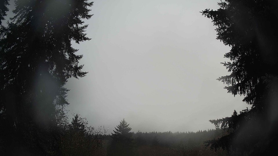
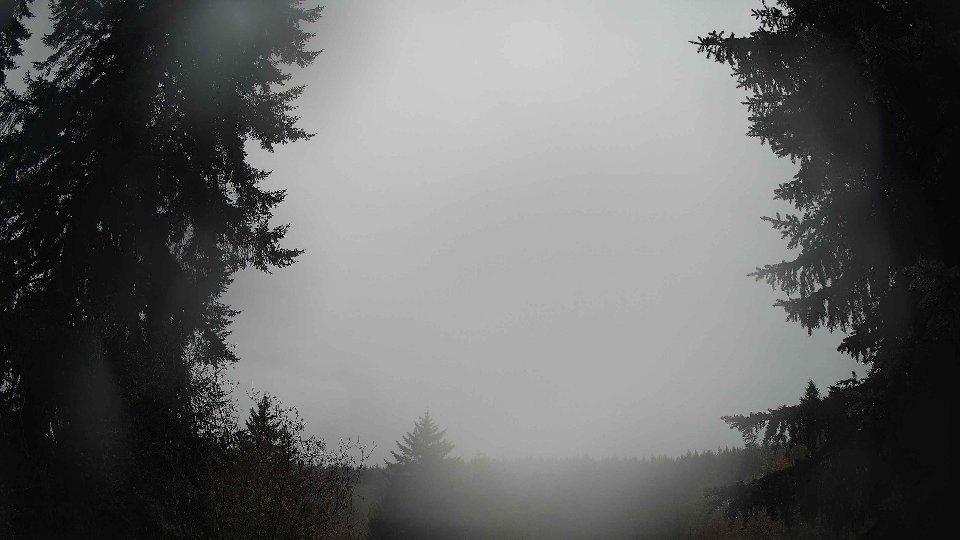
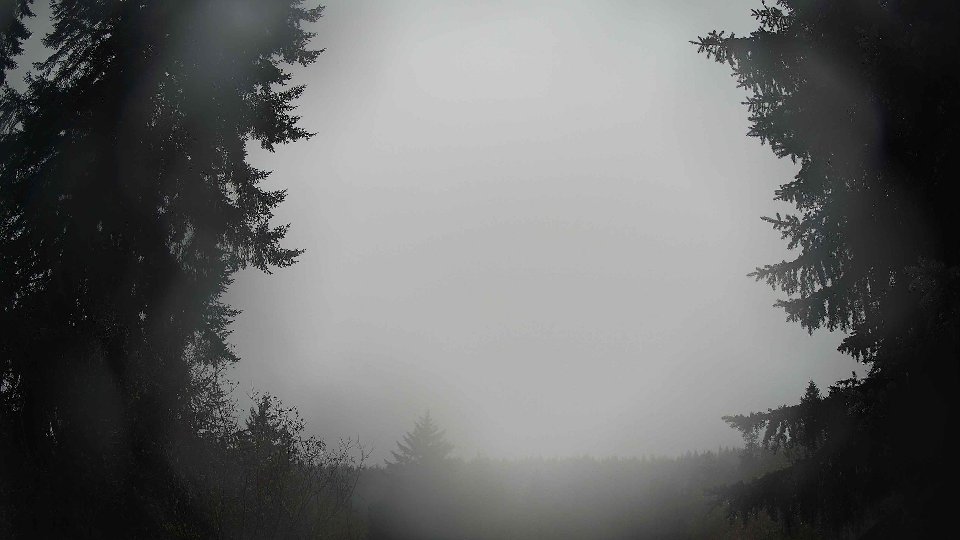
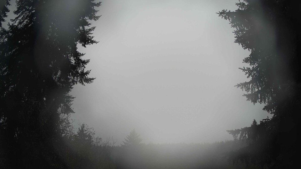
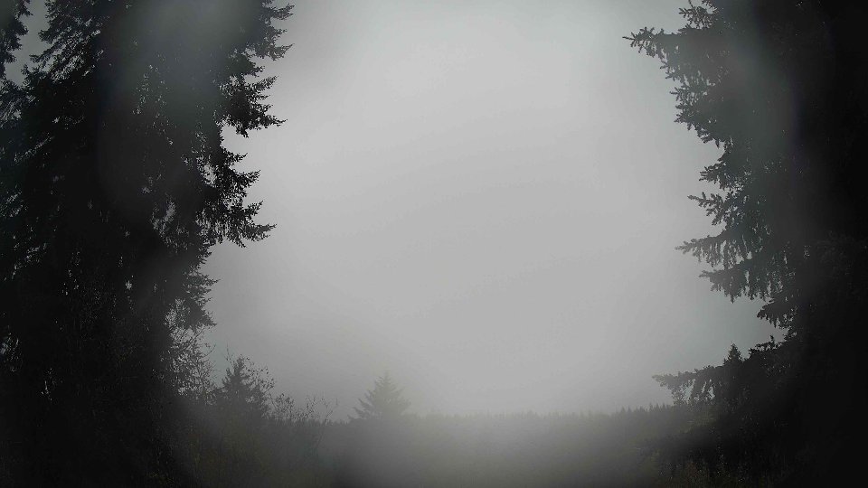
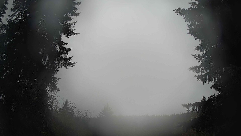
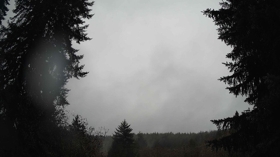
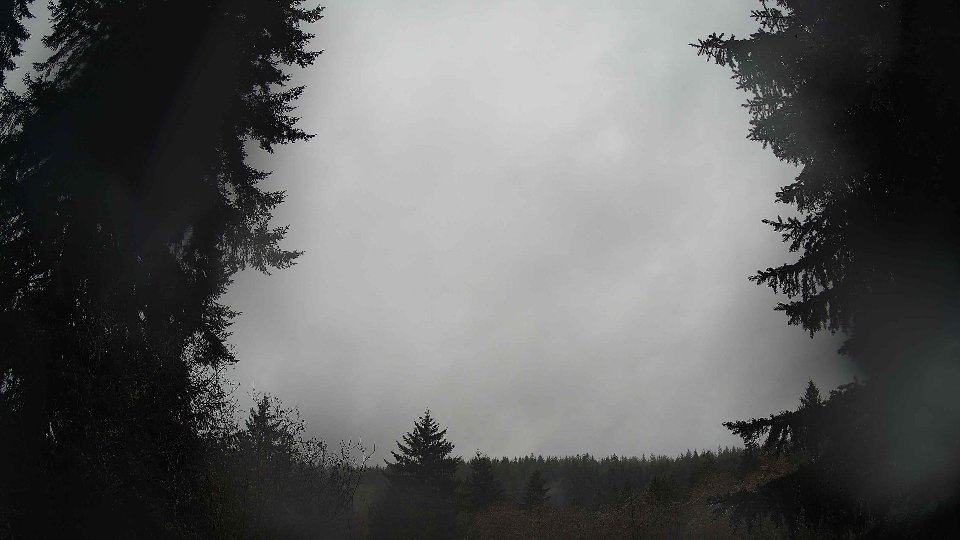
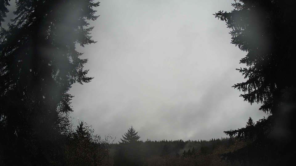
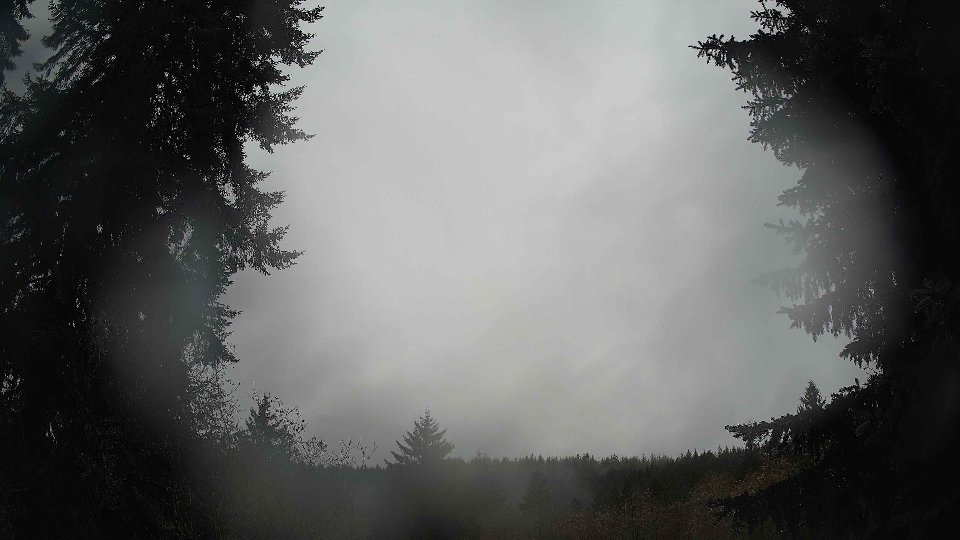
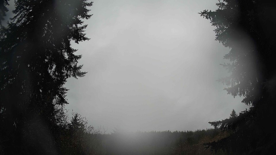
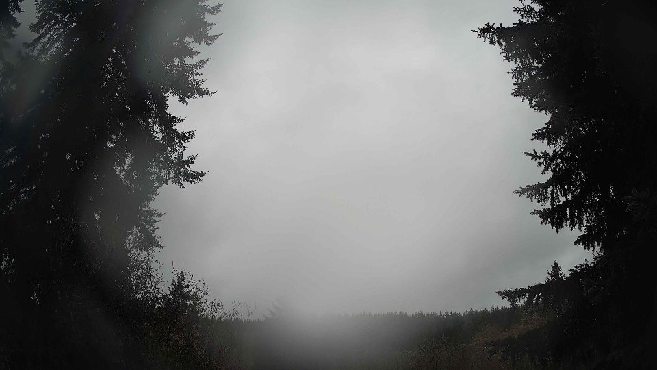
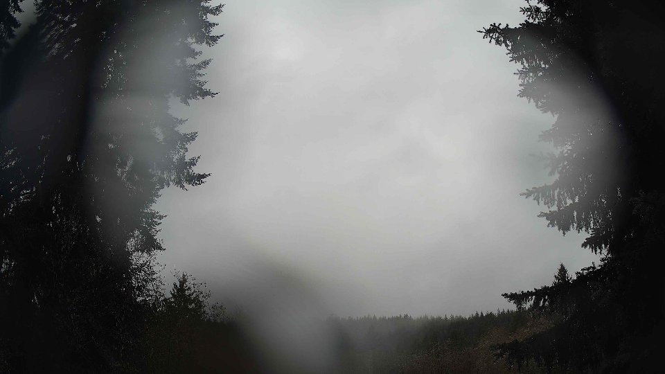
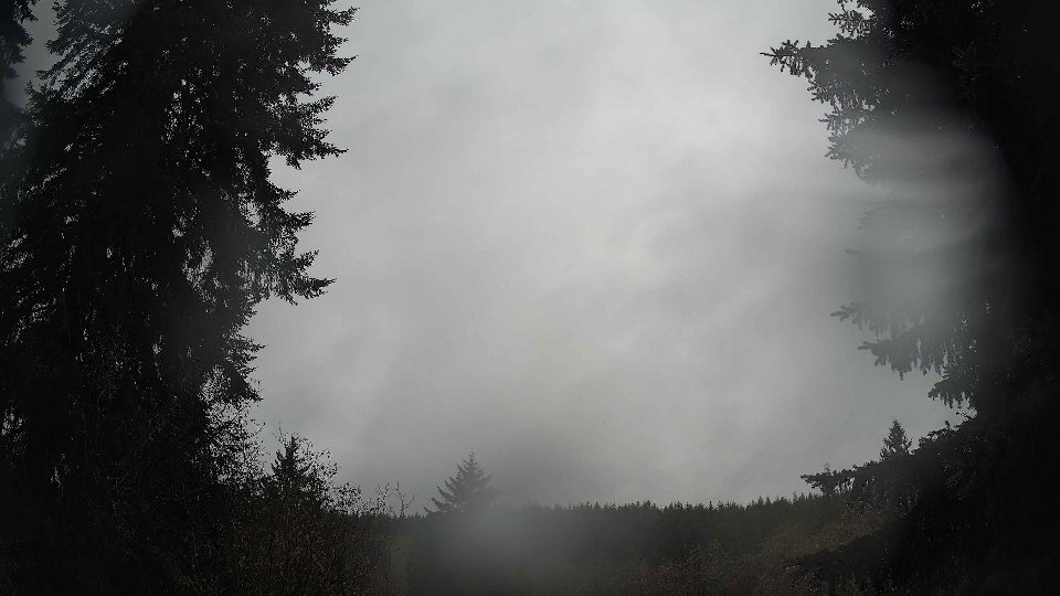
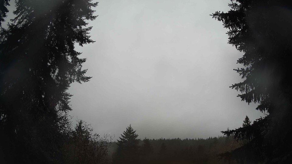
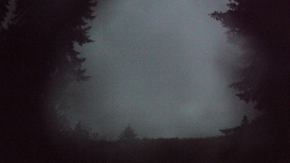
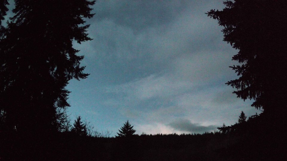
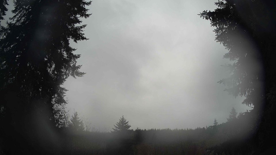
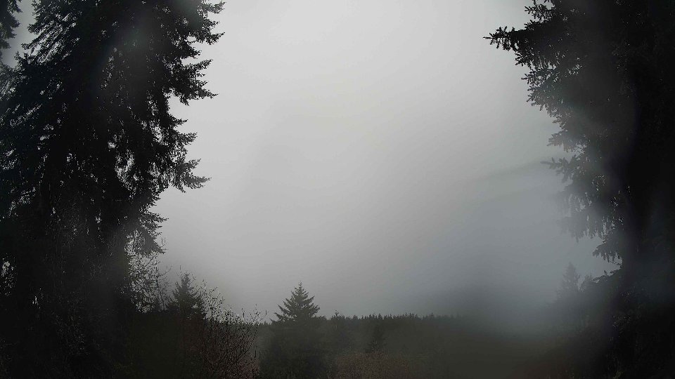
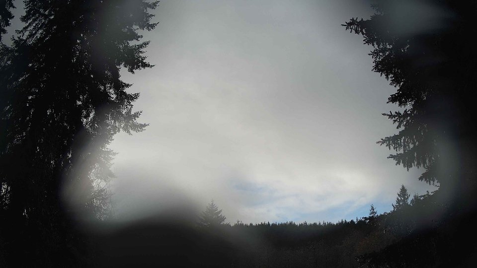
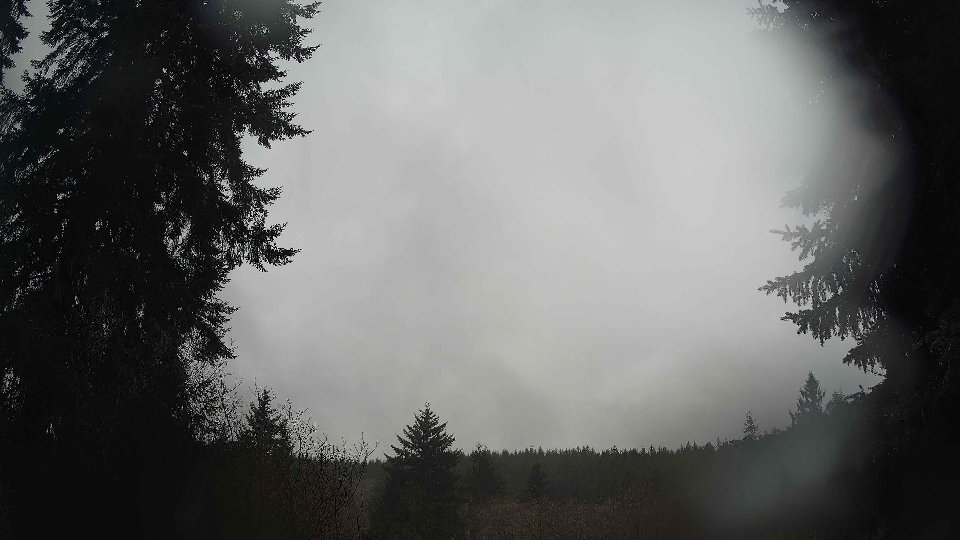
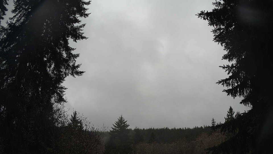
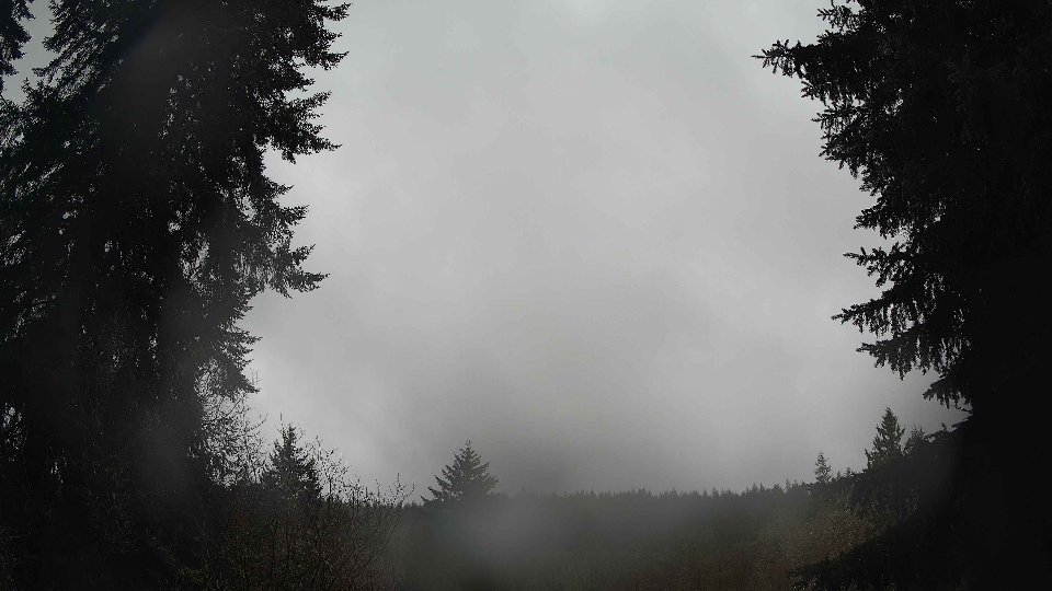
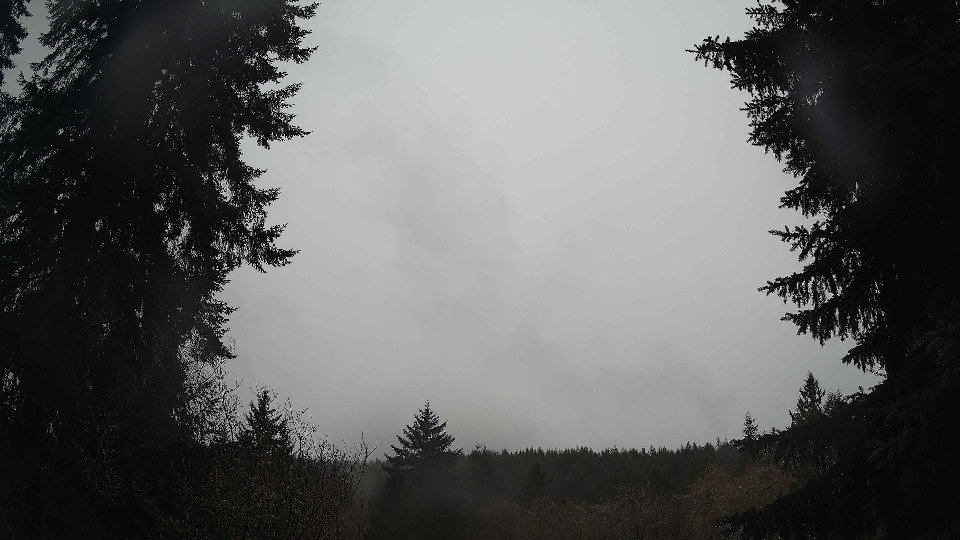
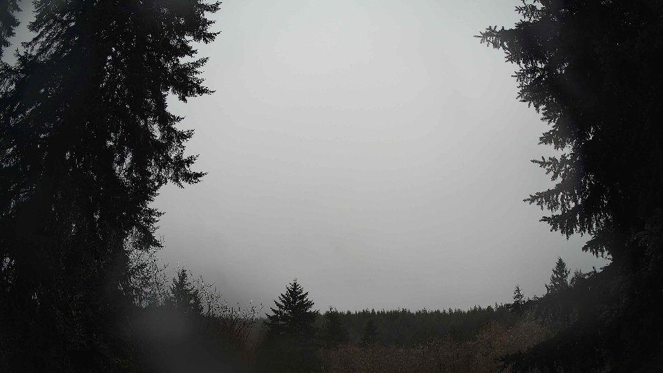
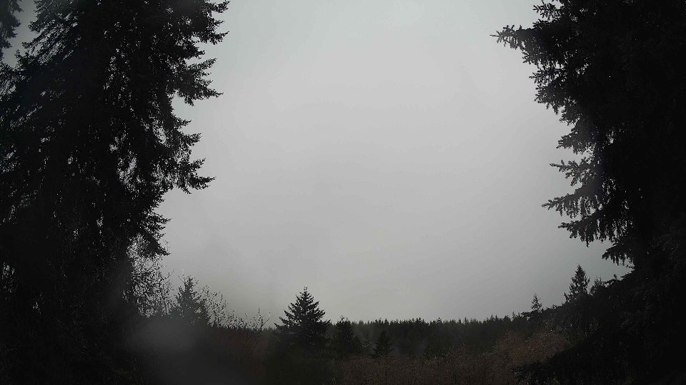
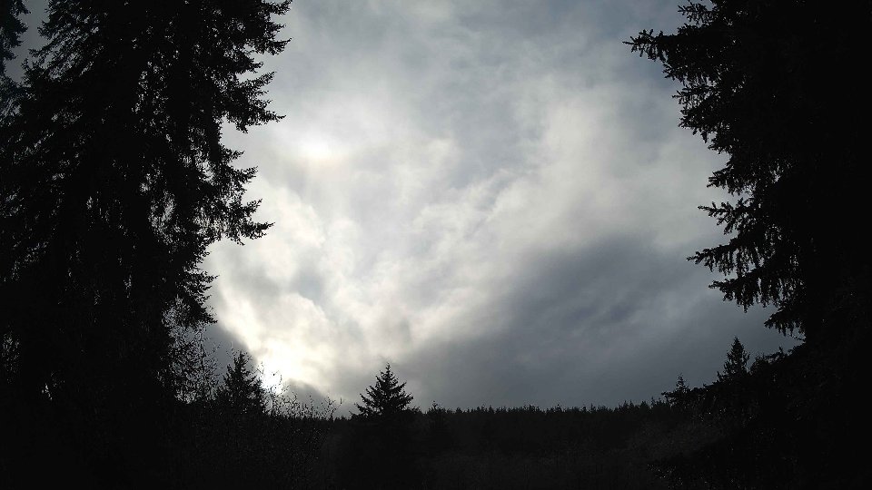
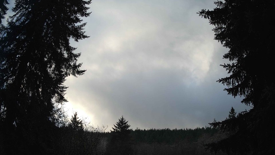
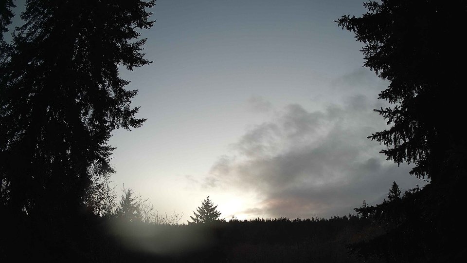
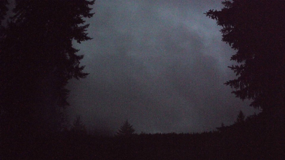
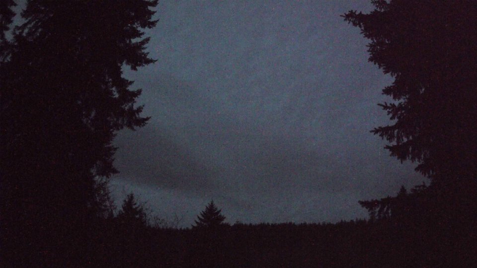
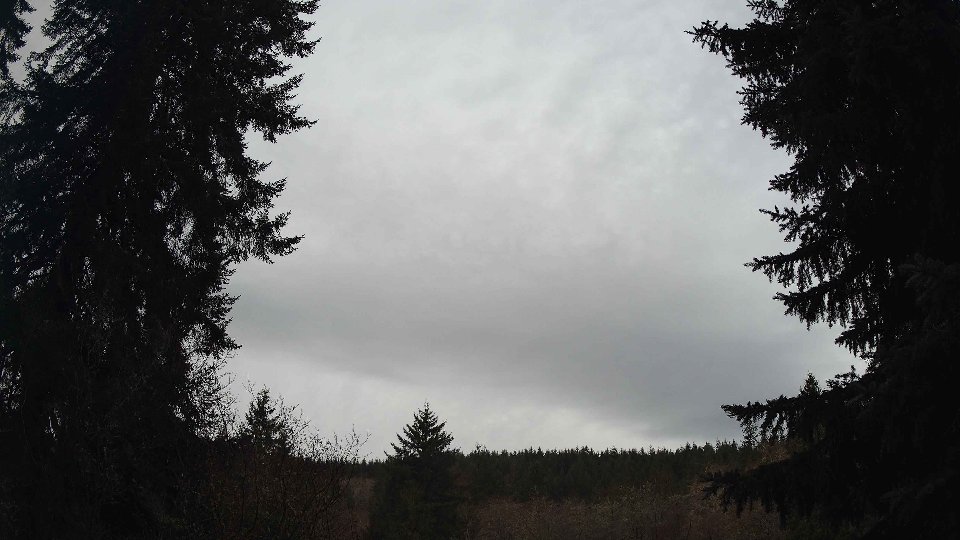
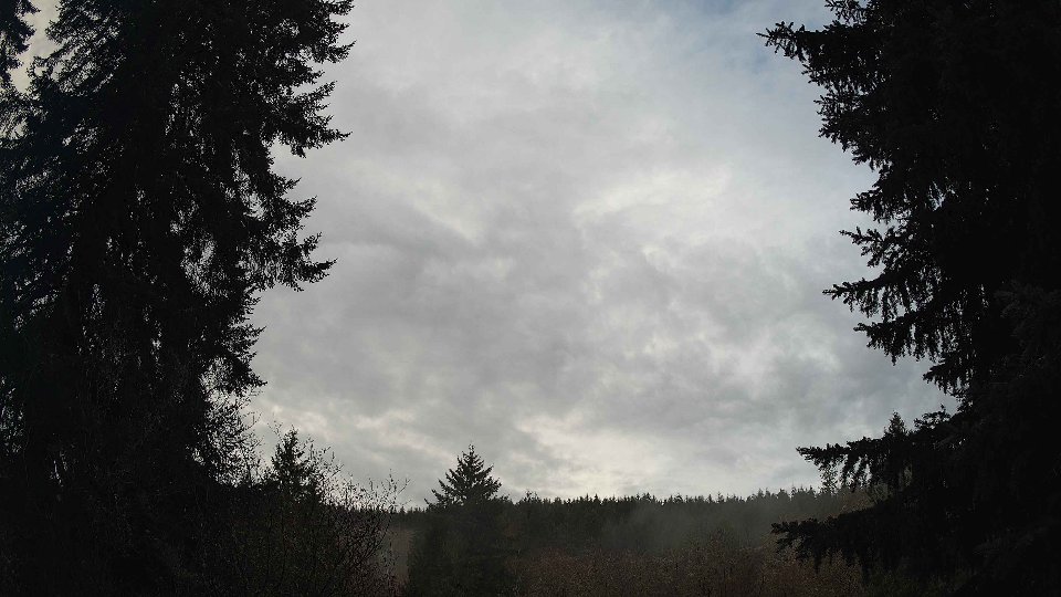
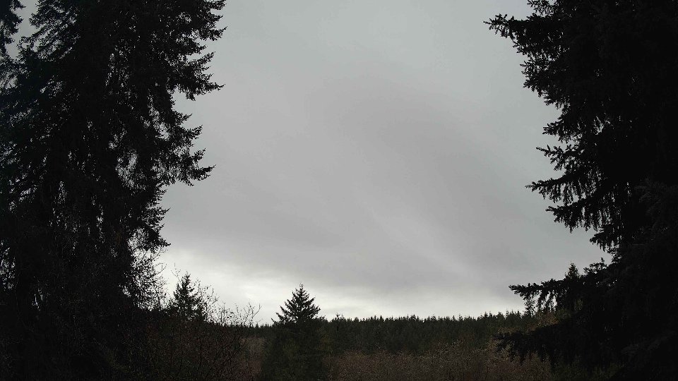
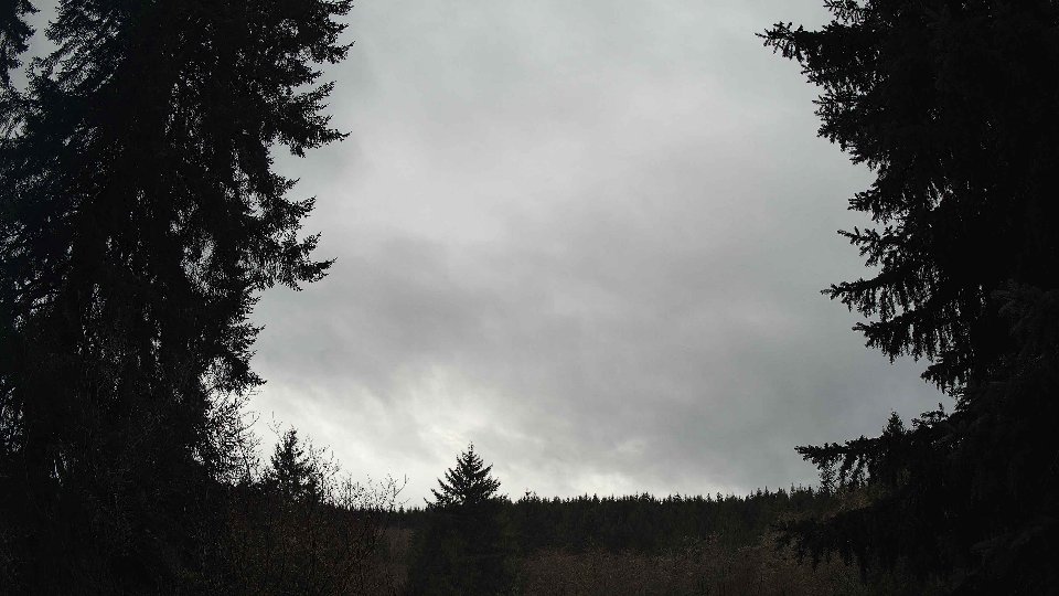
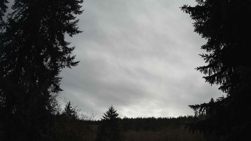
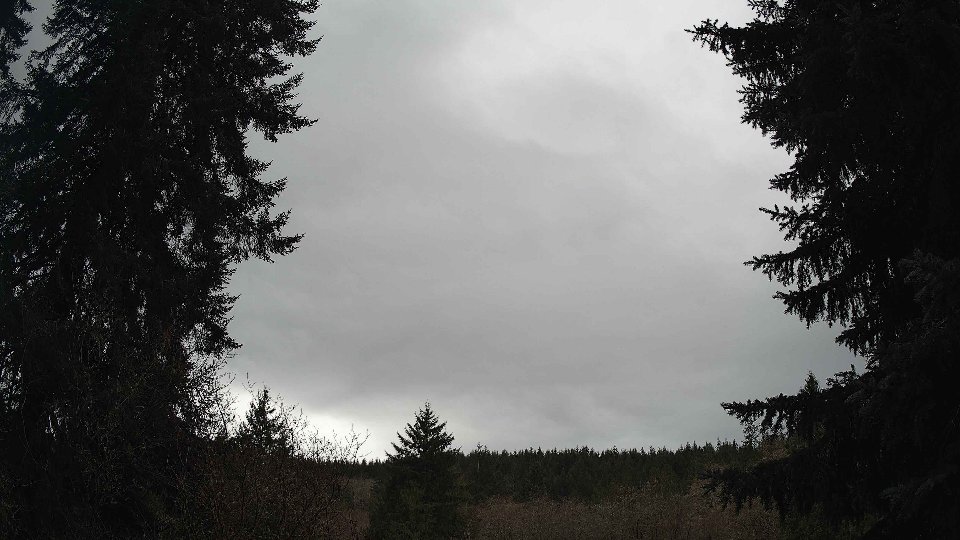
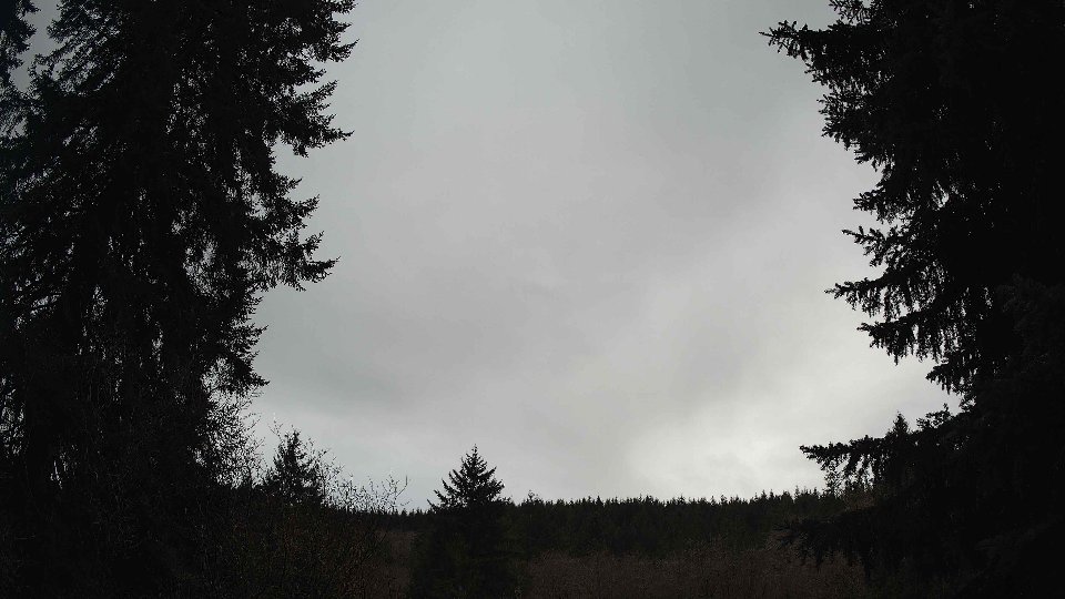
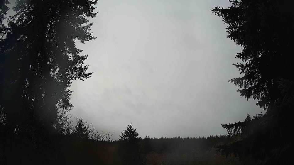
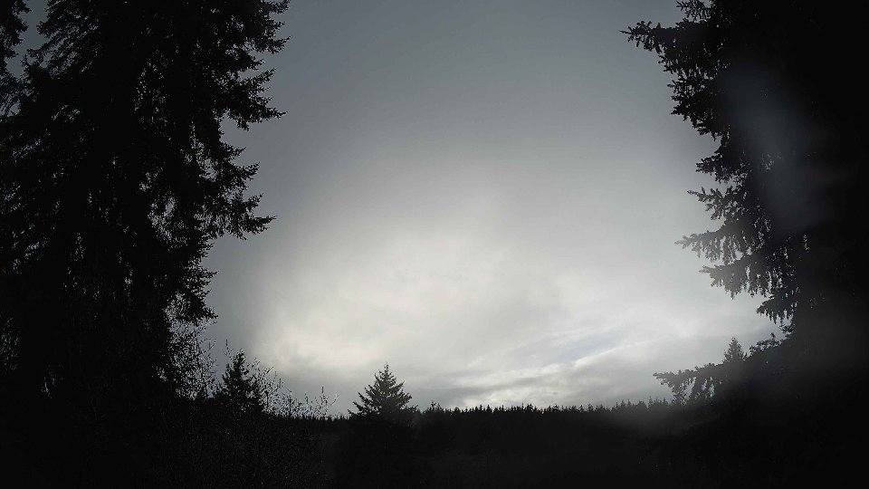
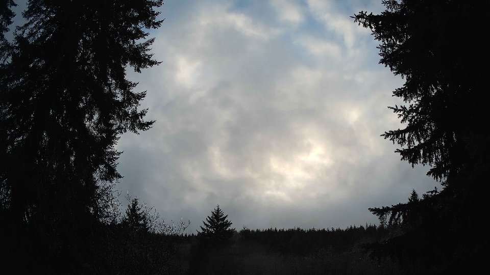
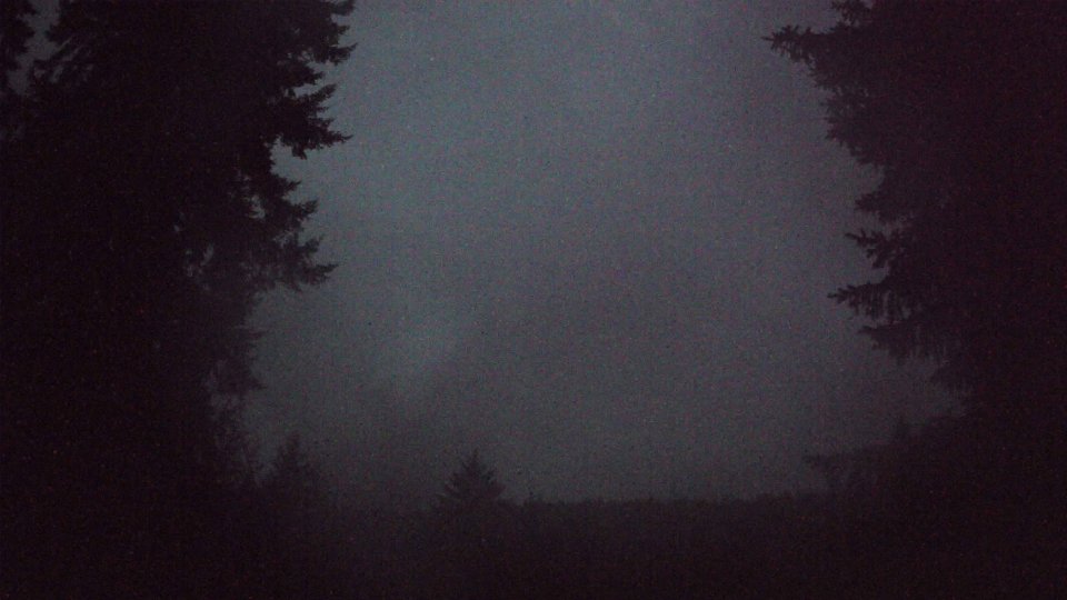
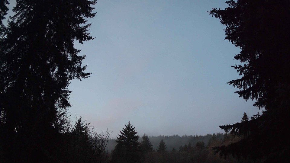
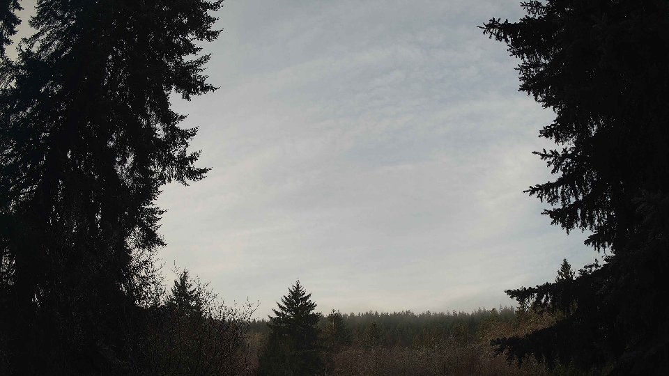
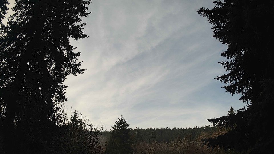
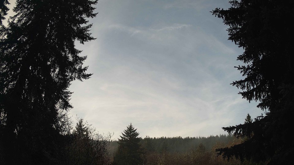
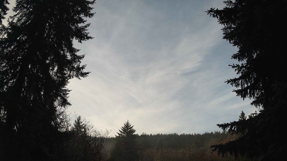
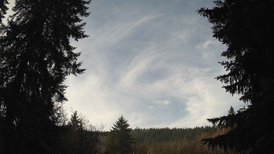
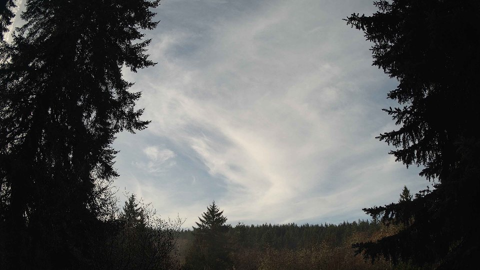
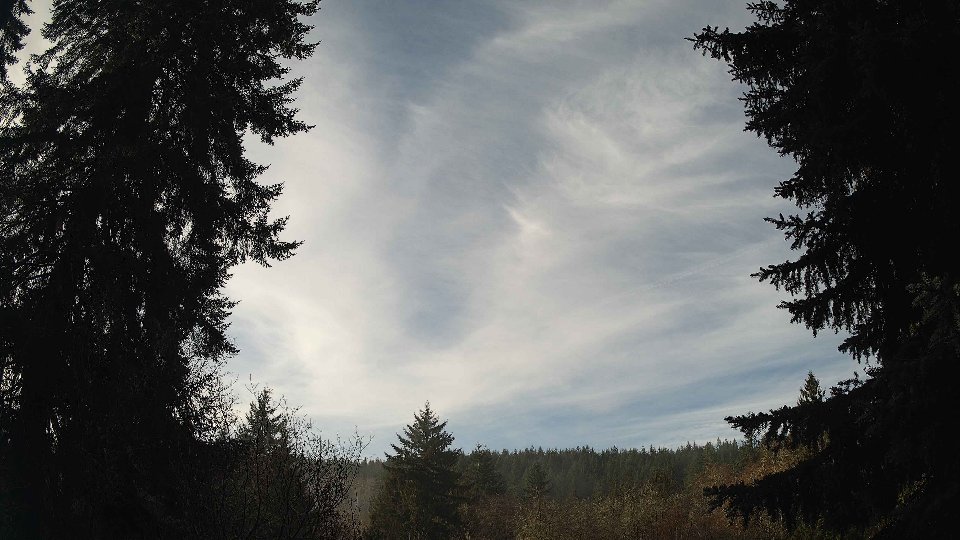
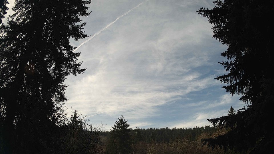
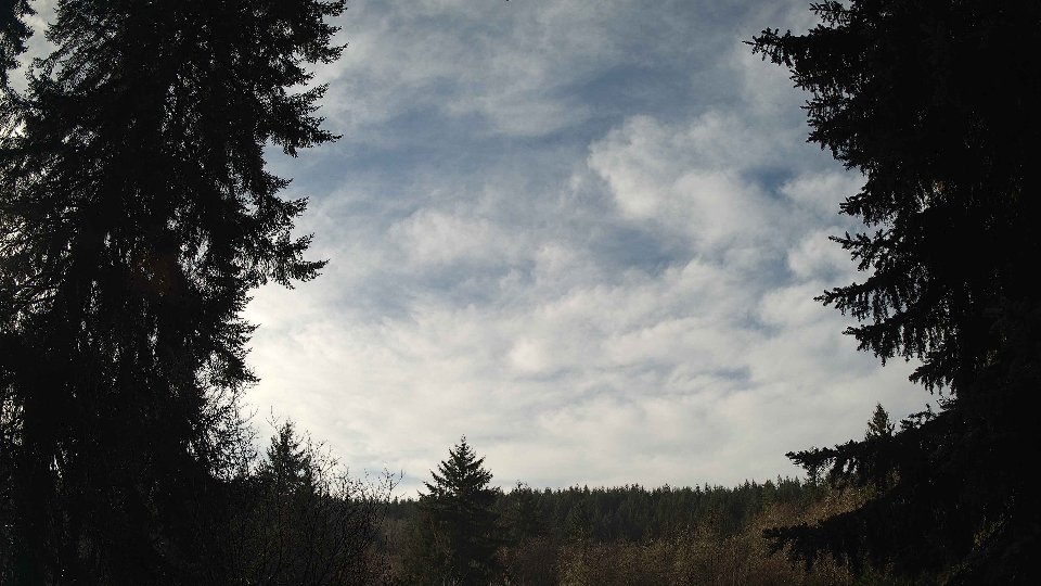
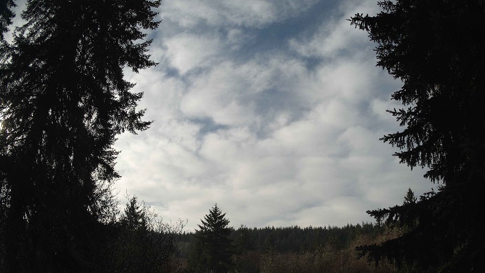
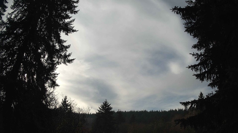
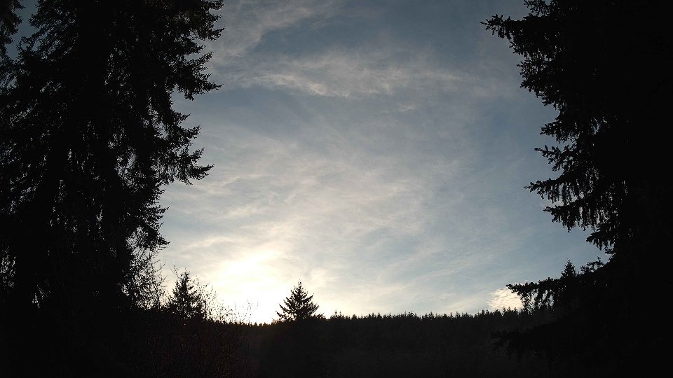
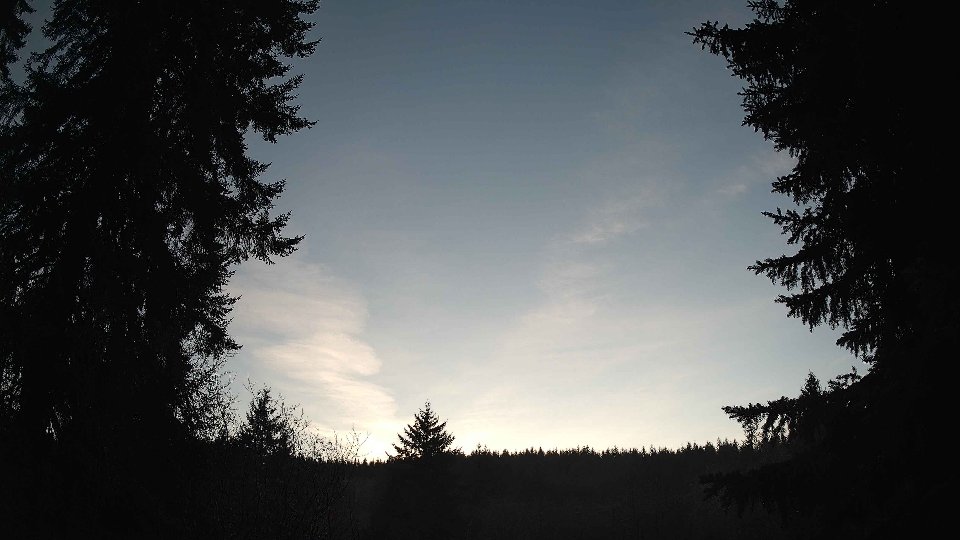
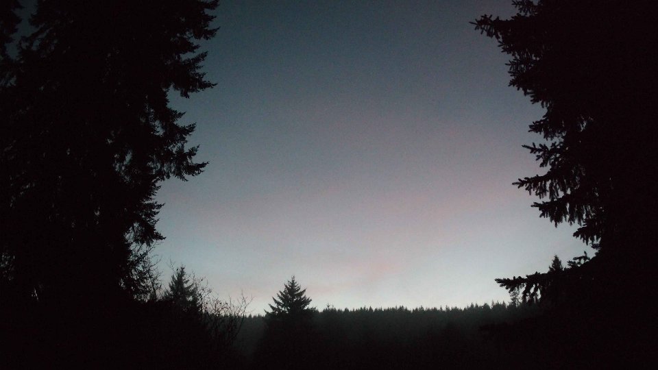
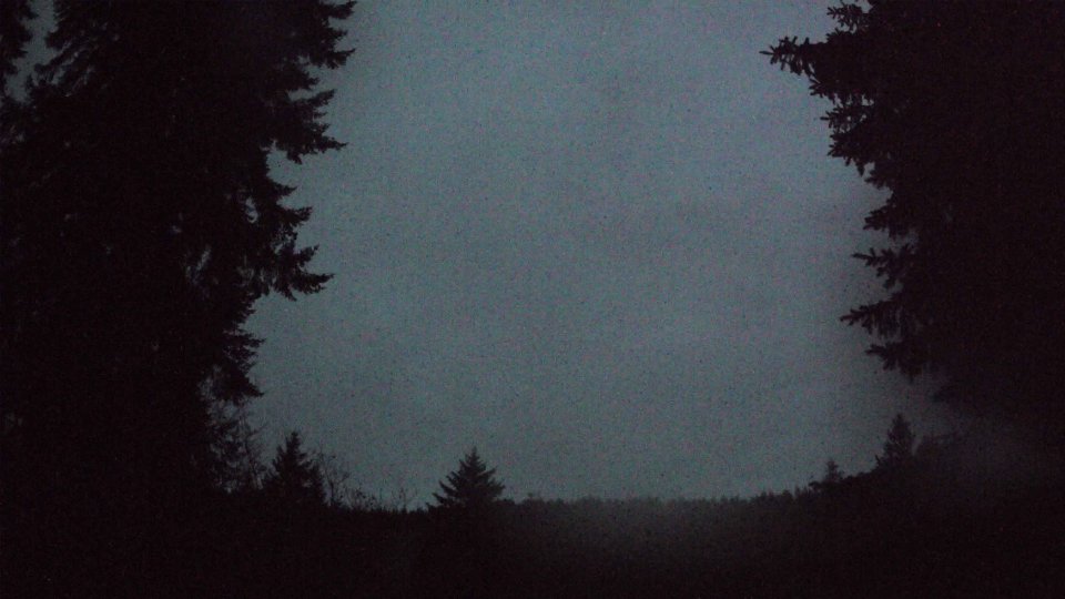
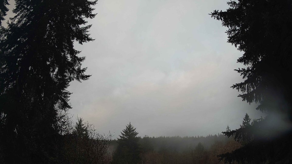
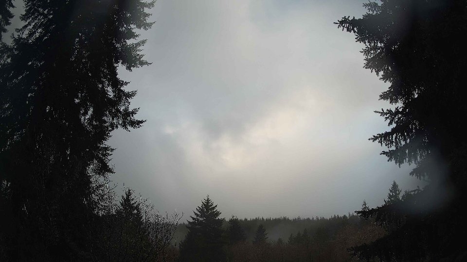
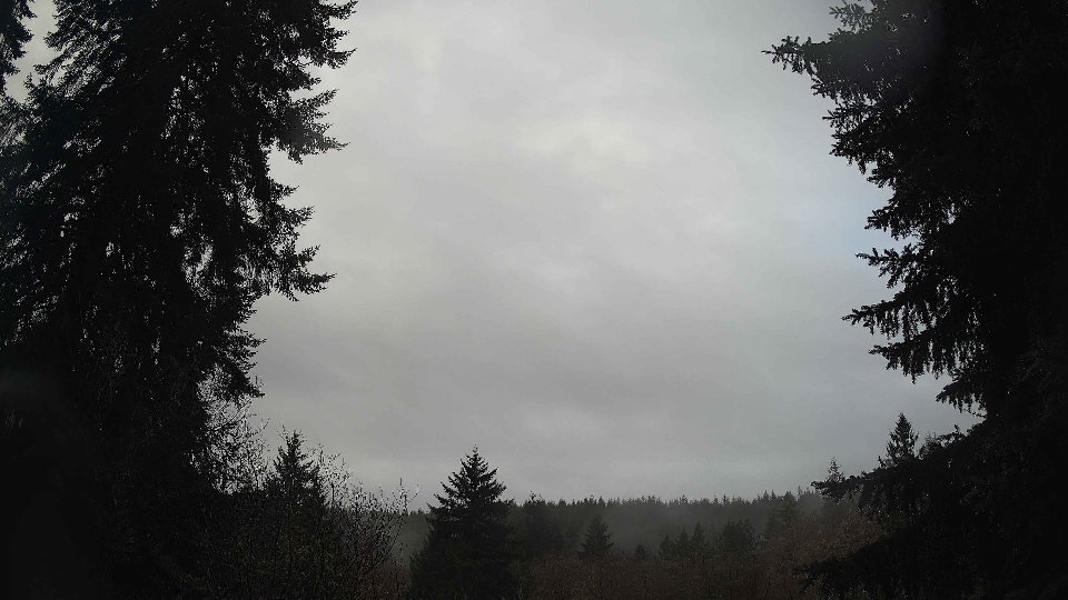
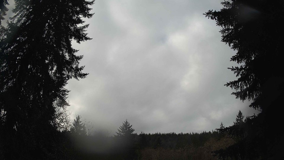
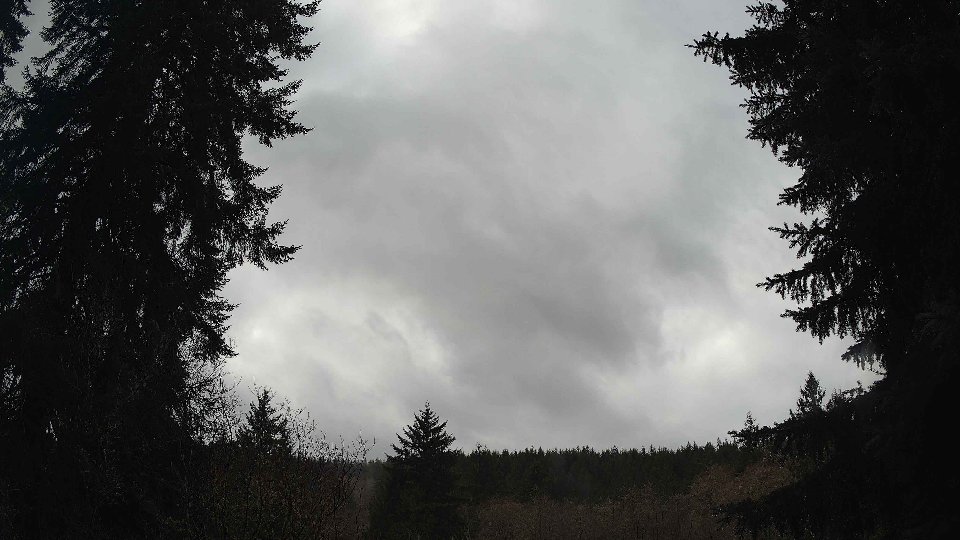
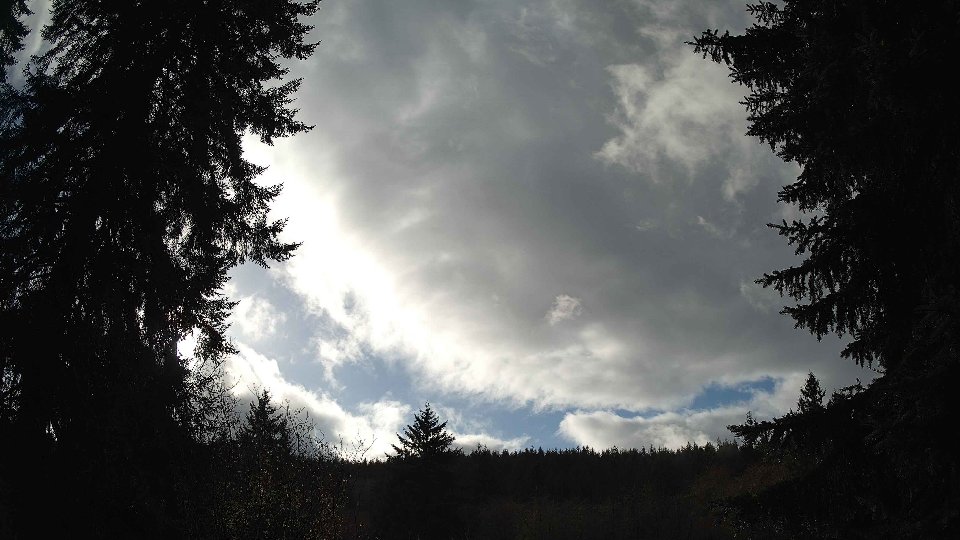
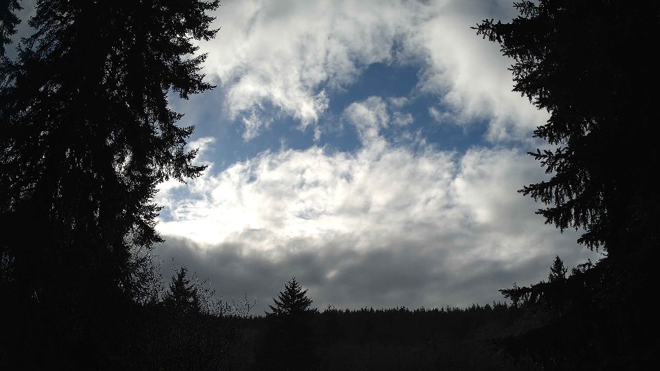
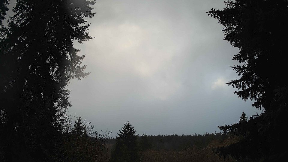
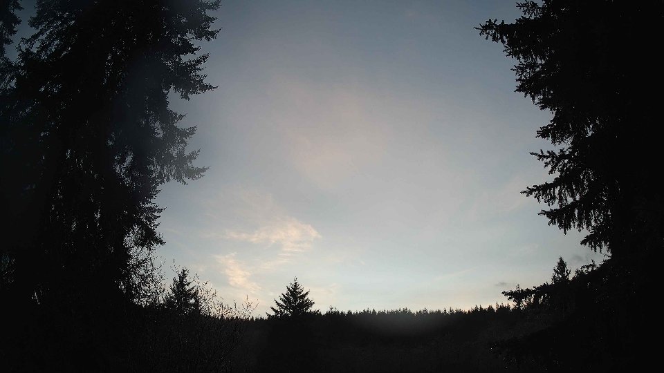
On December 4th, the day began under a thick blanket of cloud cover, with low clouds completely saturating the sky at 100% coverage and mid-level clouds matching this intensity. The surface winds were mild at an average of 5.6 mph, while winds at 100 meters soared to about 11.1 mph, creating a notable contrast that hinted at potential turbulence. This vertical wind shear between surface and altitude layers likely contributed to the rapid movement of clouds throughout the morning, as the stronger winds aloft propelled the lower cloud deck below, generating an impressive, dynamic sky. The temperature hovered around 40.2°F, and light precipitation fell, accumulating 0.11 inches, suggesting the clouds were not just for show—they were actively contributing moisture to the environment.
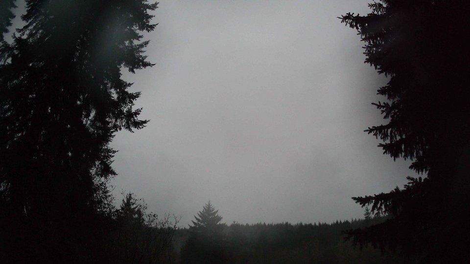
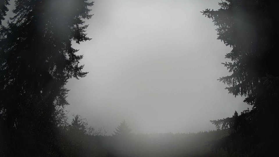
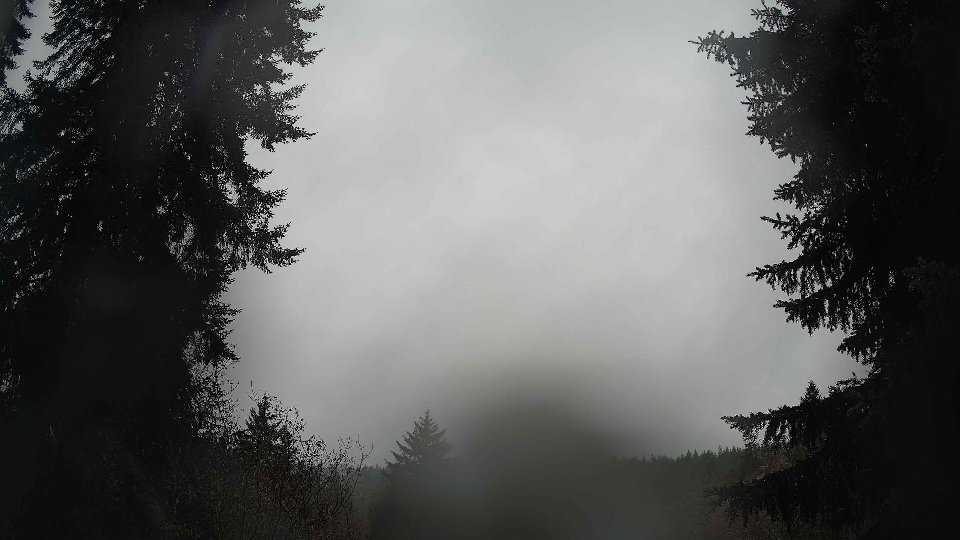
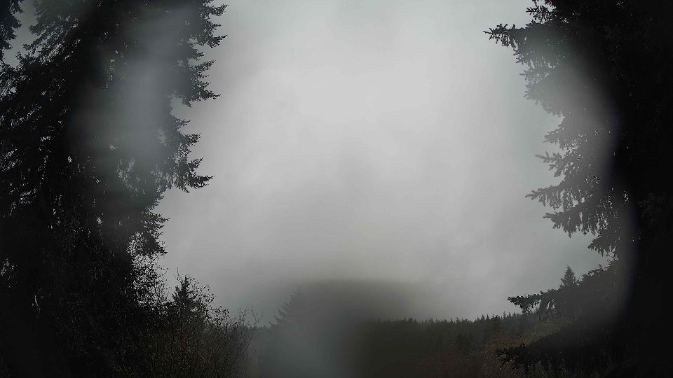
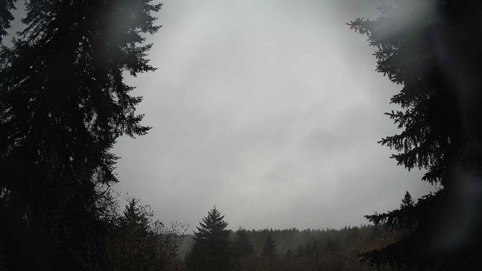
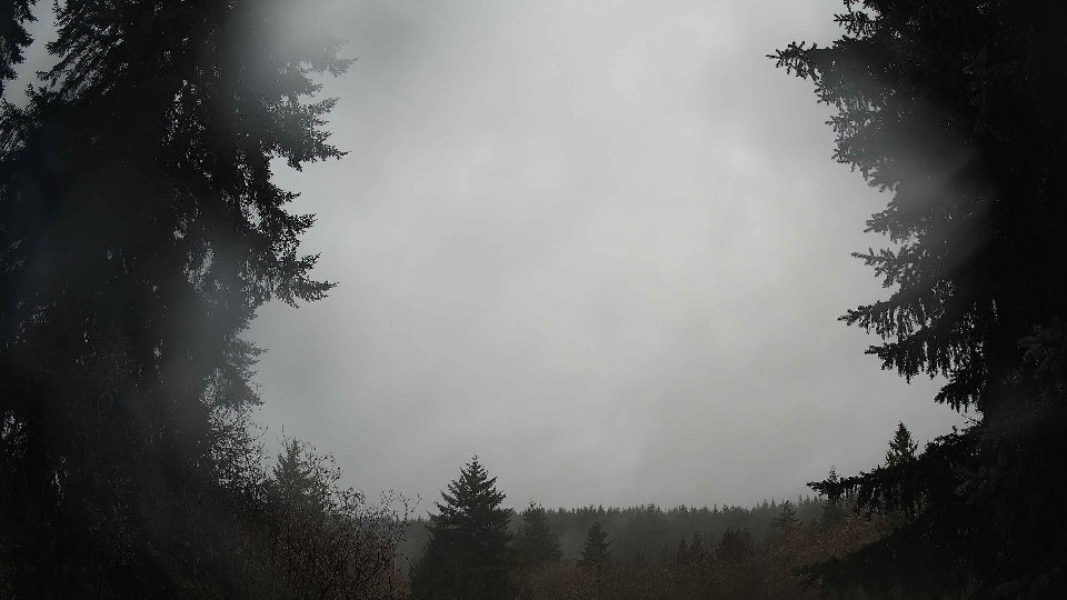
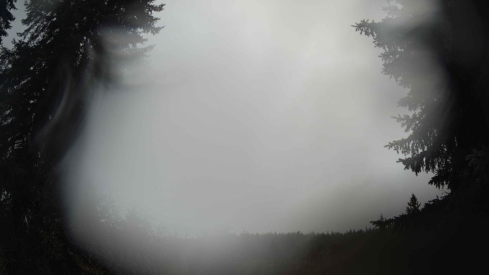
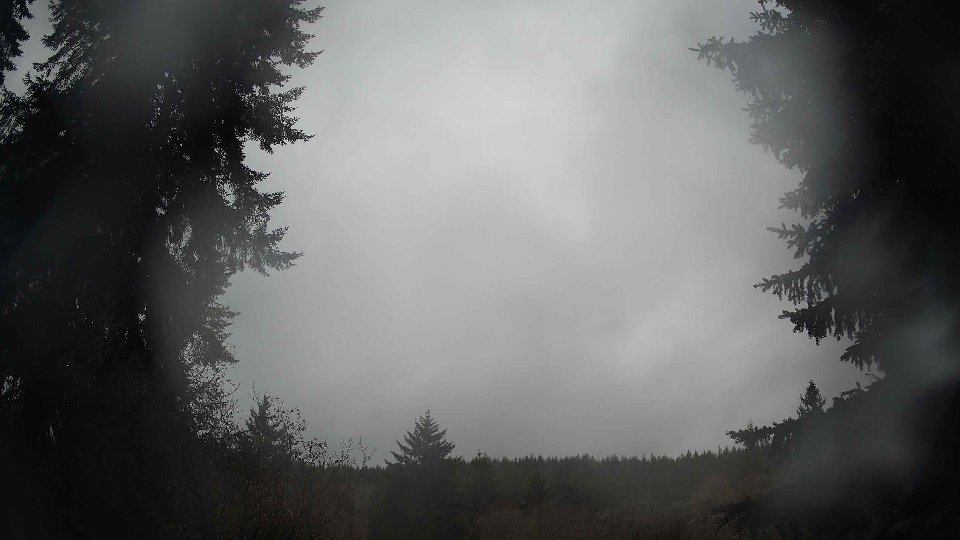
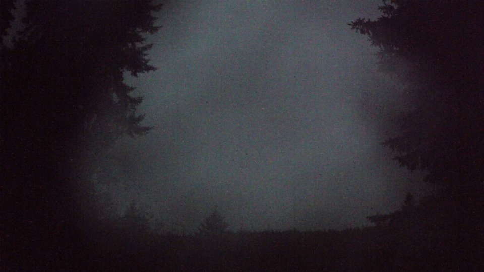
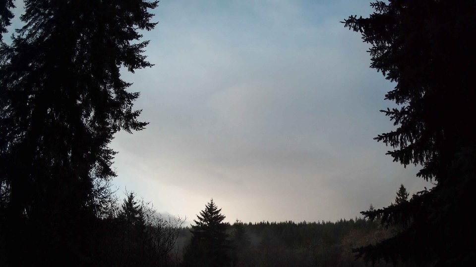
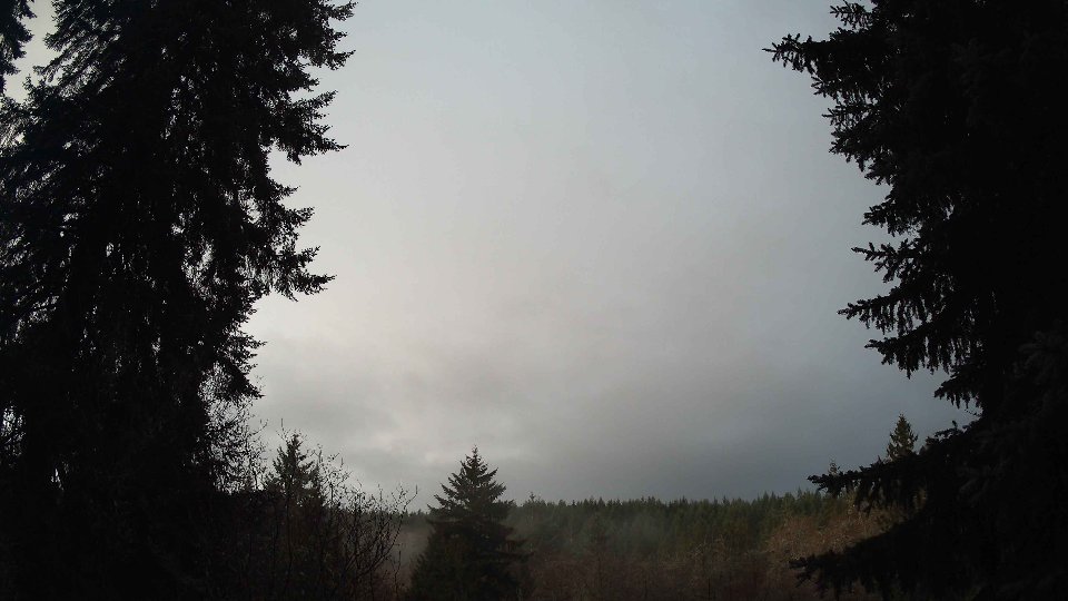
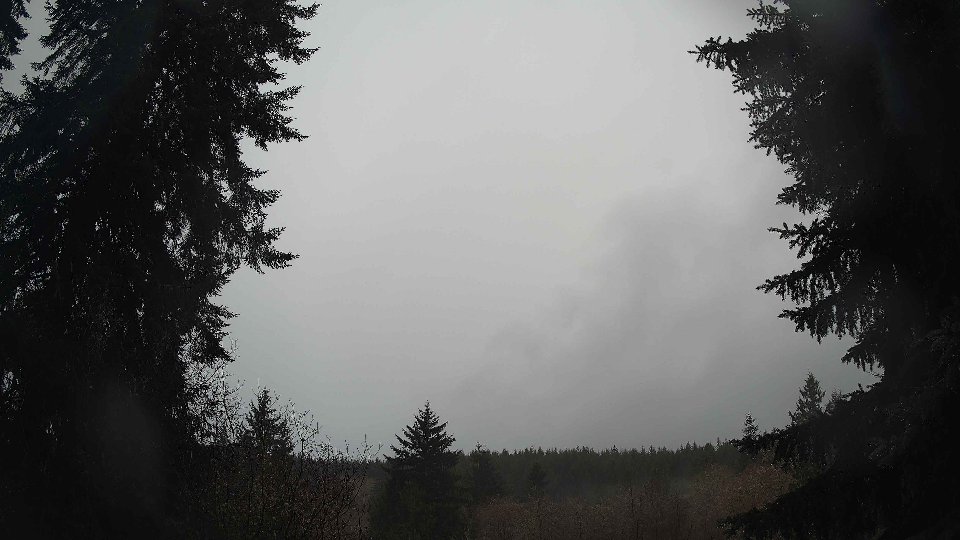
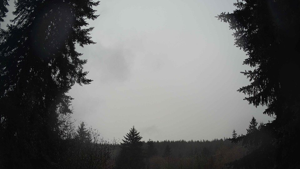
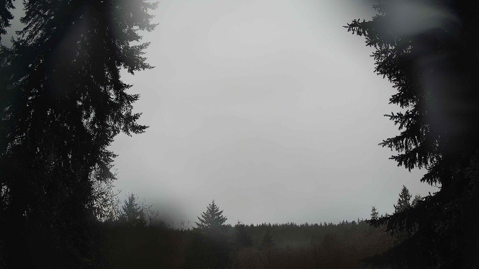
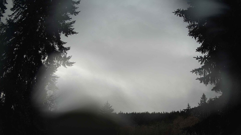
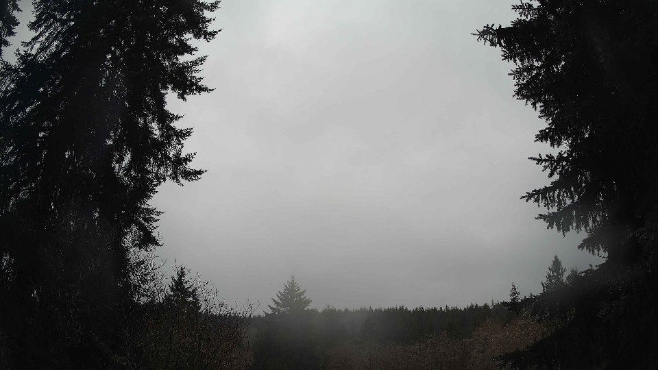
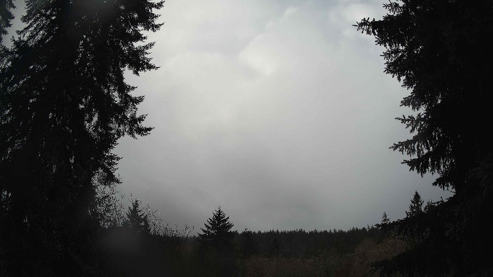
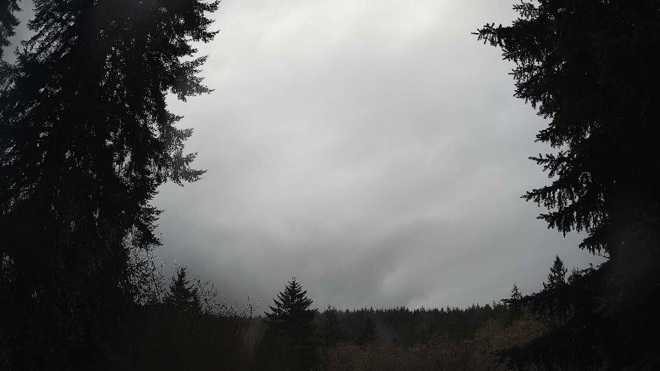
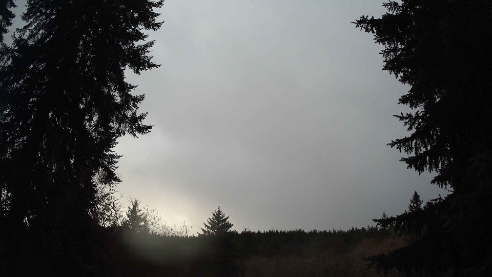
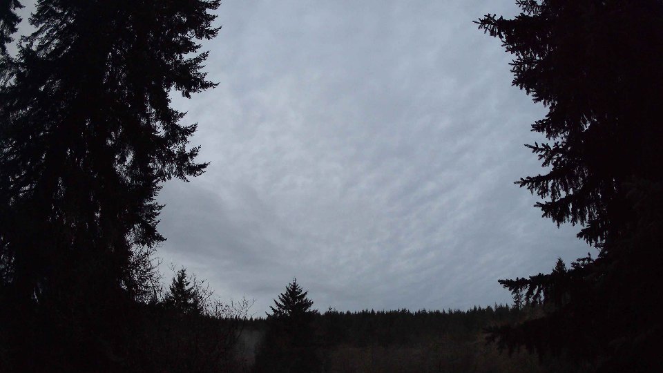
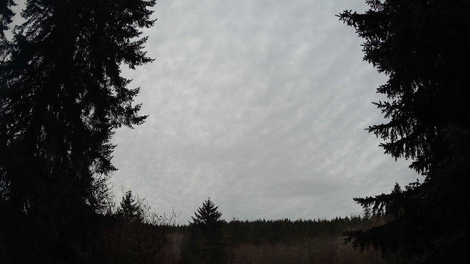
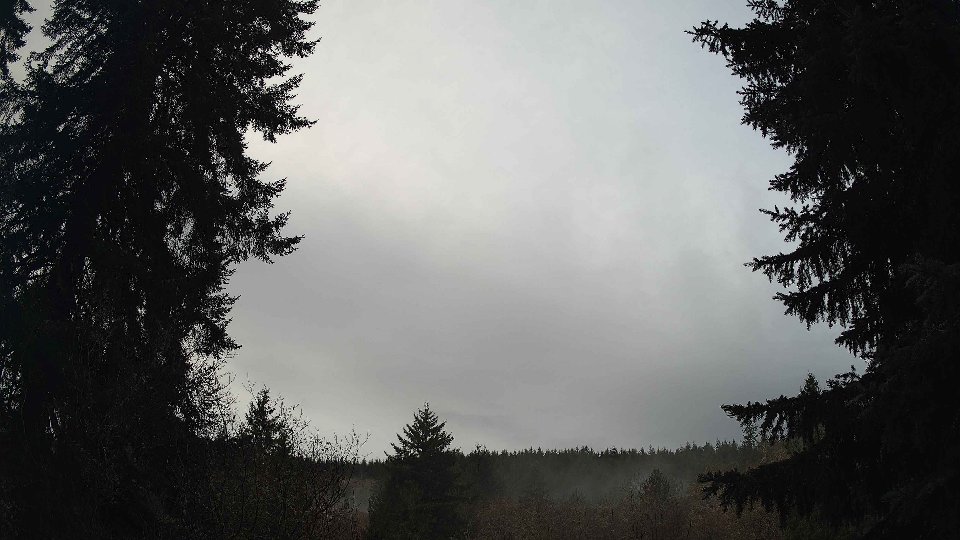
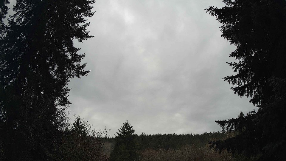
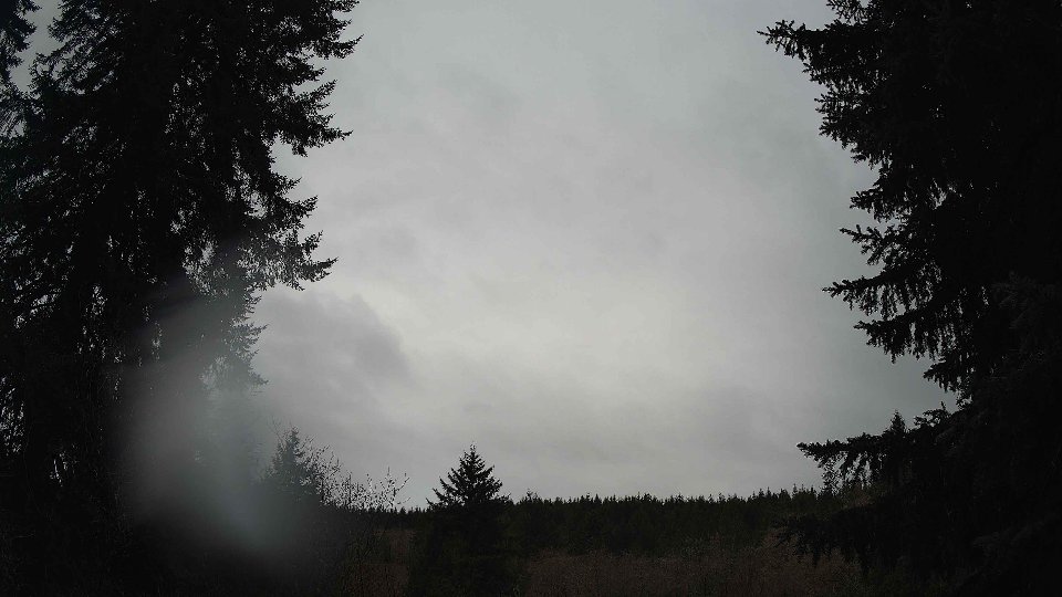
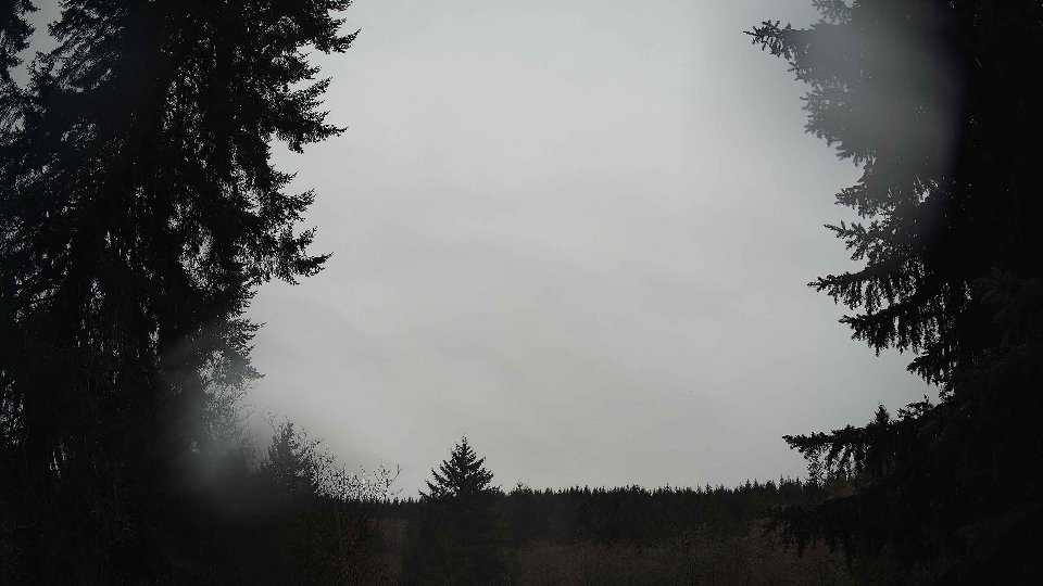
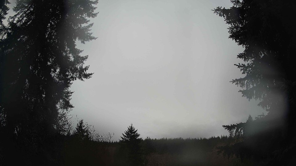
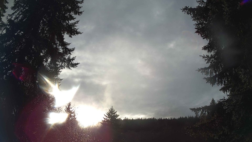
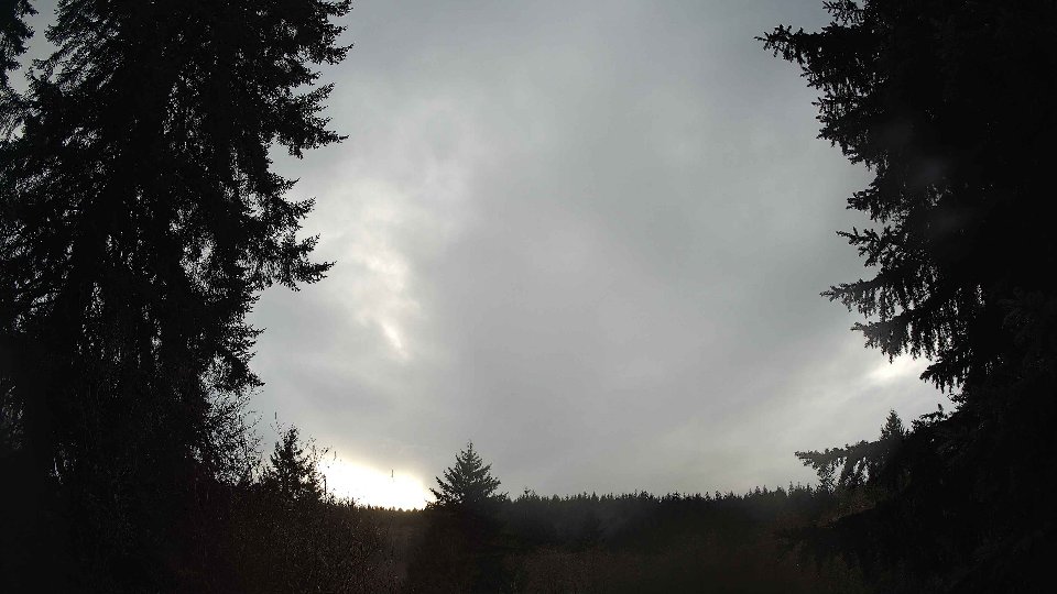
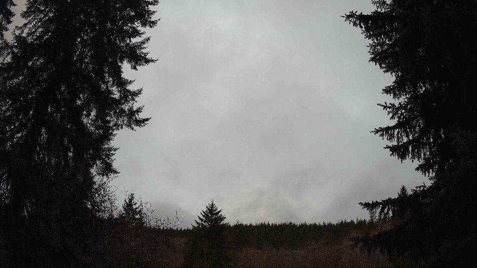
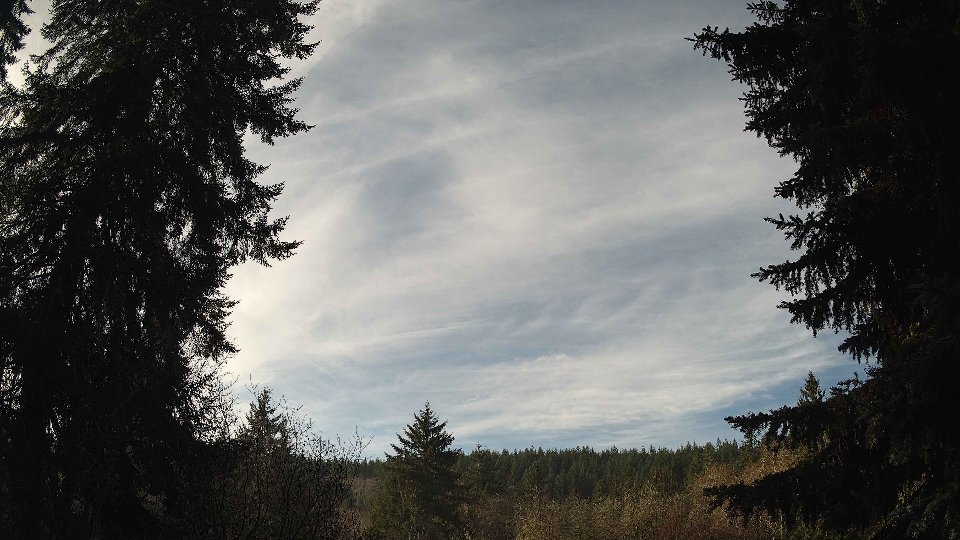
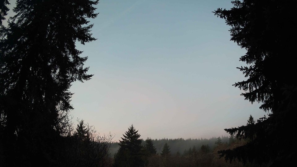
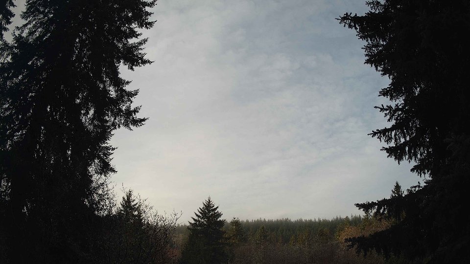
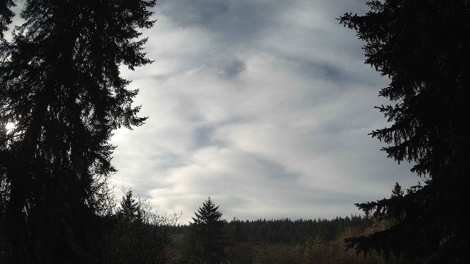
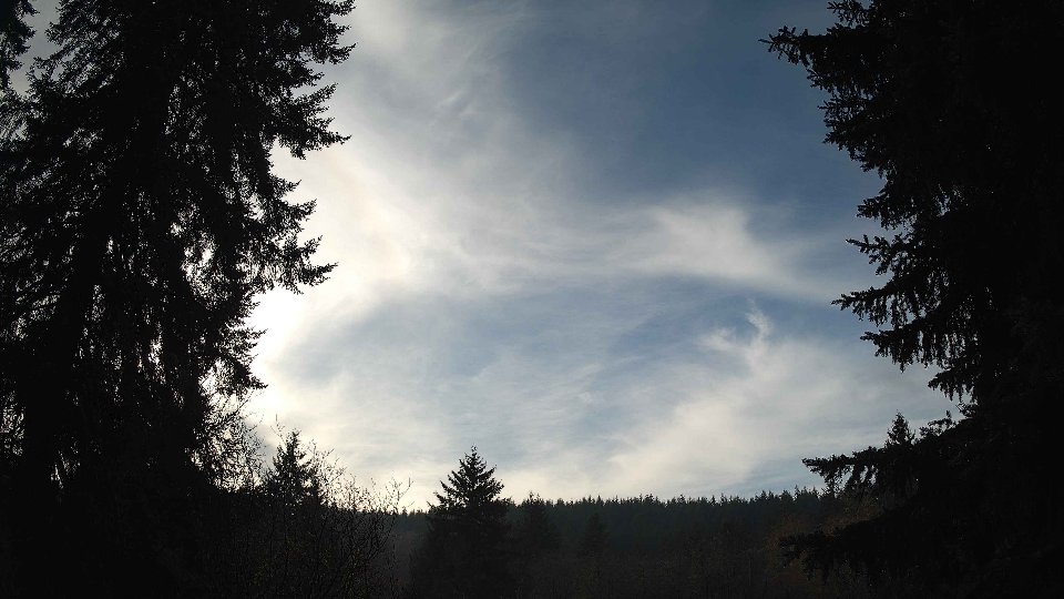
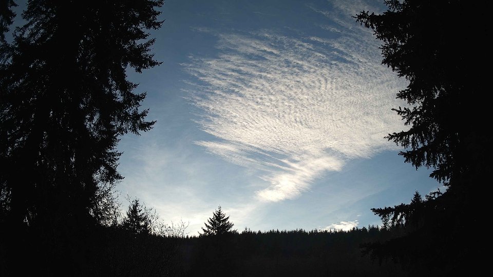
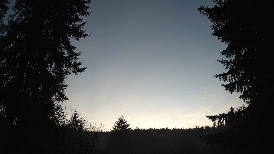
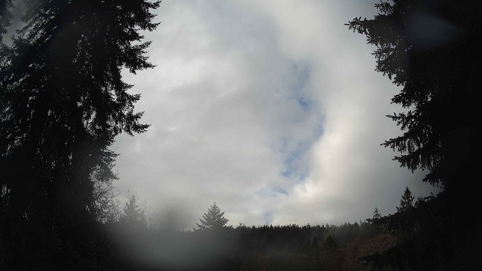
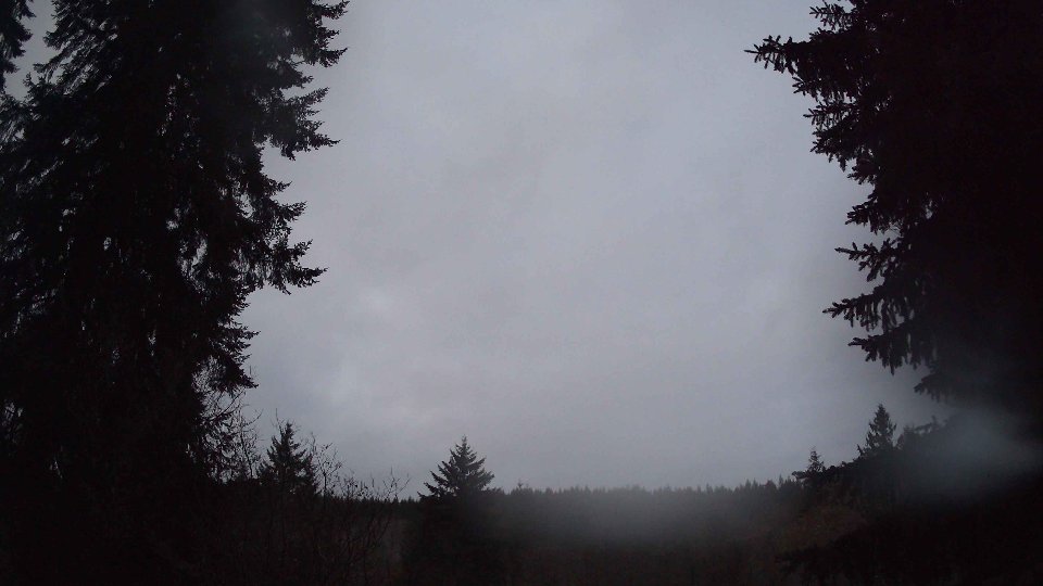
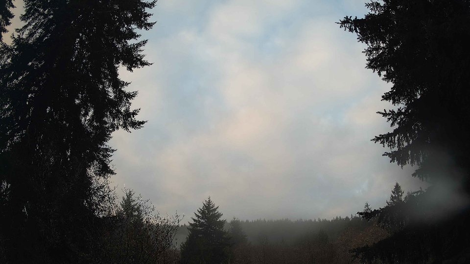
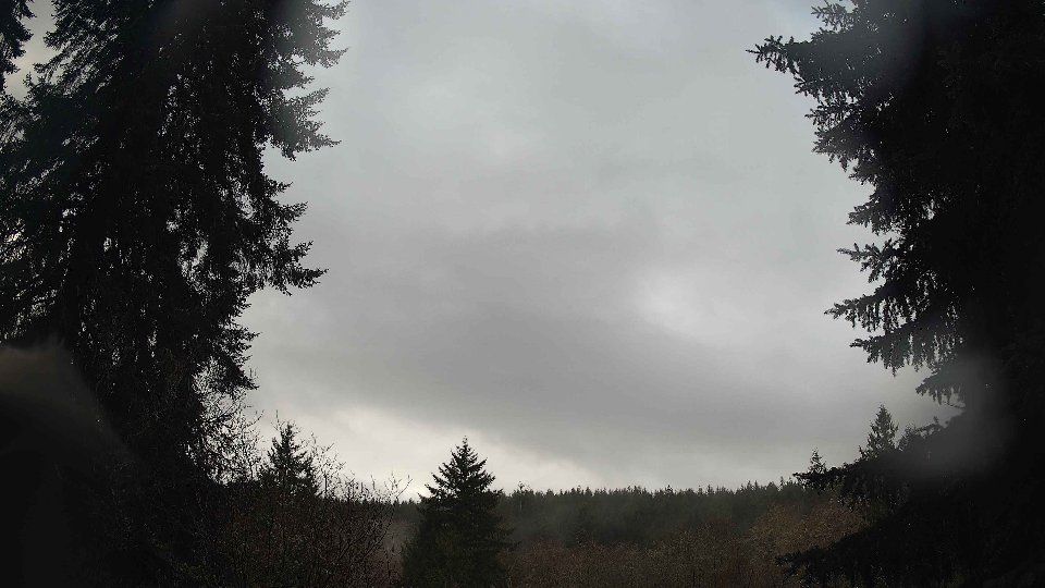
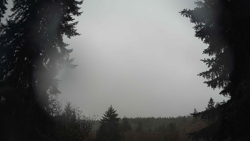
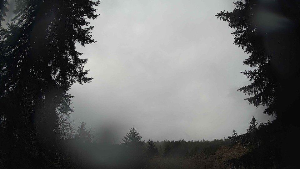
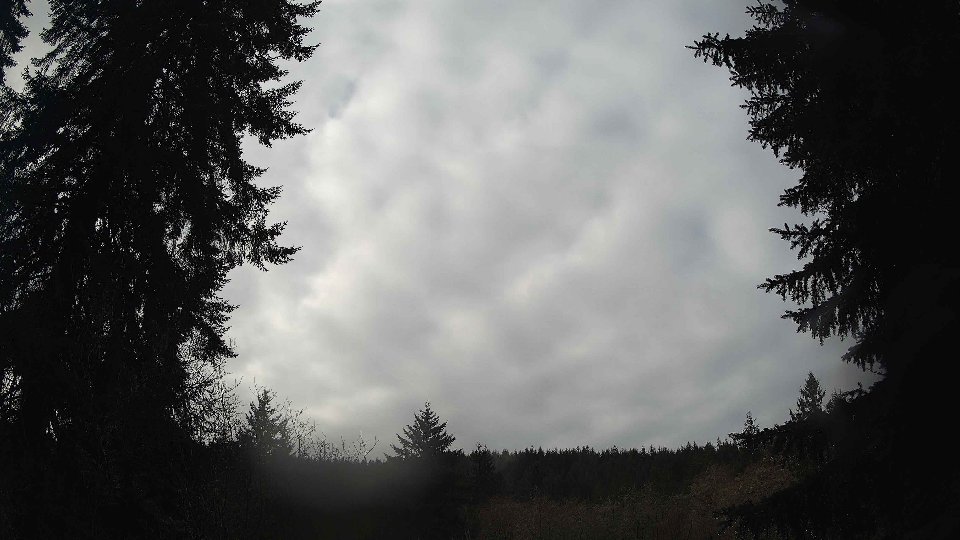
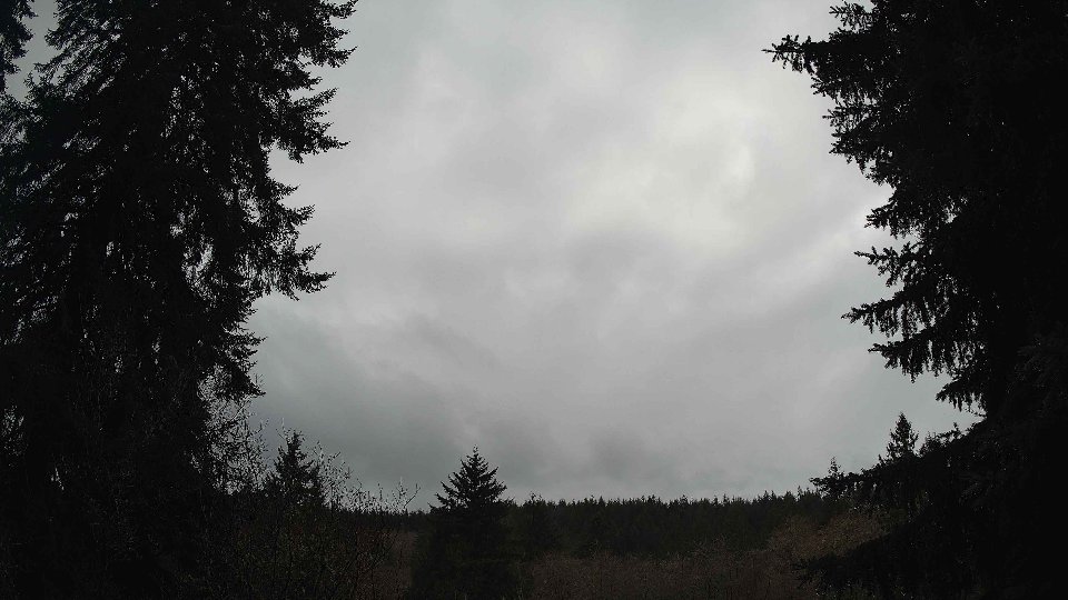
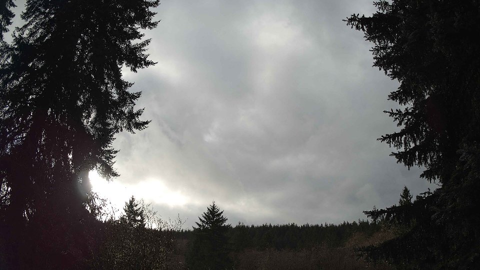
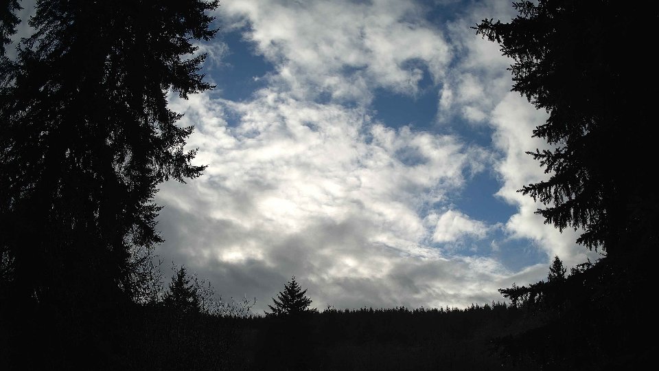
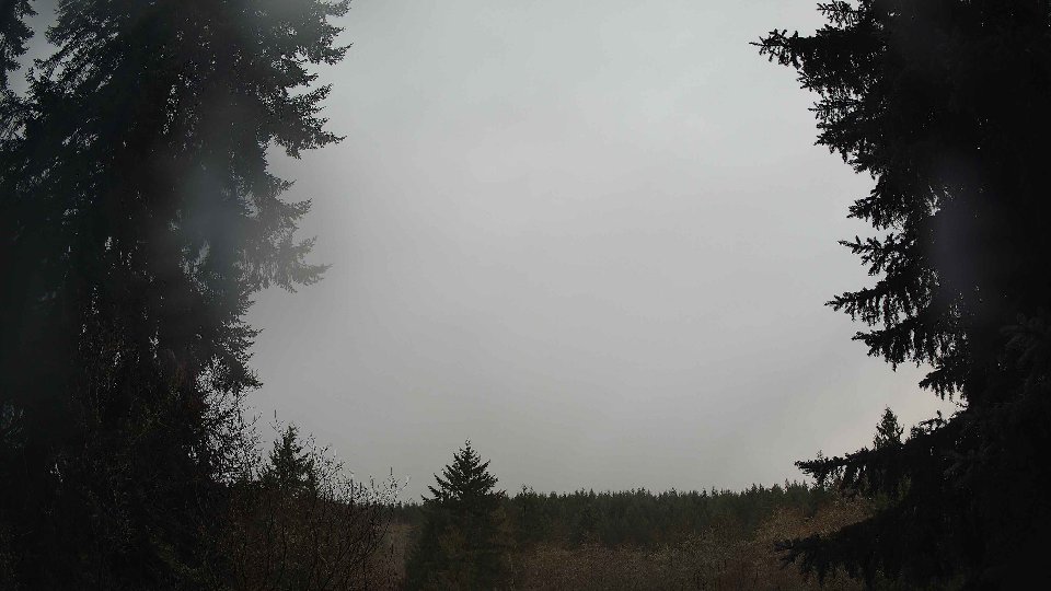
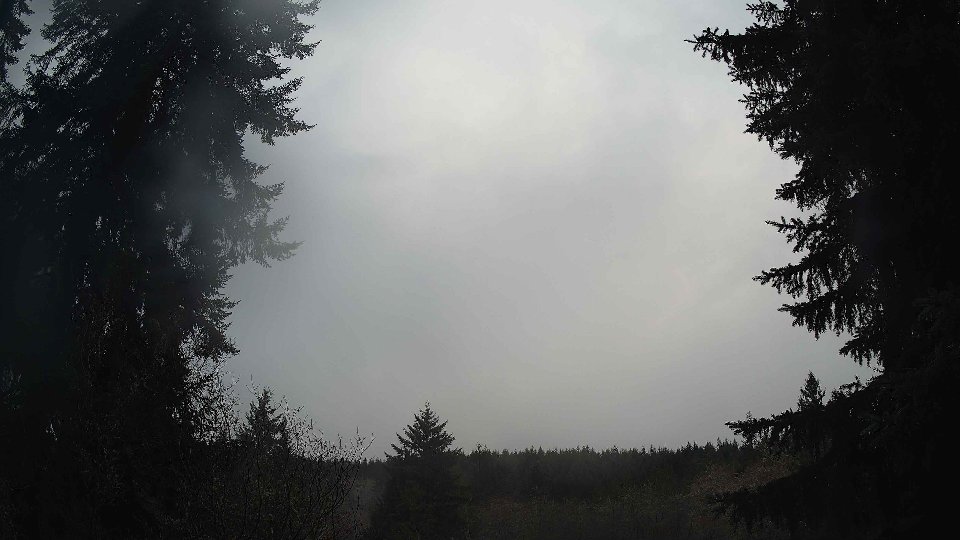
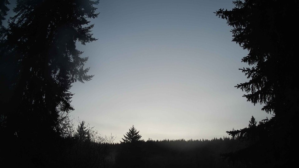
As the day progressed into midday, conditions remained consistently cloudy, maintaining 100% cloud cover. The surface winds slightly increased to an average of 5.7 mph, while winds at 100 meters picked up speed to 11.5 mph, reinforcing the established pattern of stronger winds aloft. The high clouds became more prevalent, with coverage at 78.2%, creating a layered effect that allowed for some stunning visual contrasts as lower clouds drifted rapidly beneath them. This continued wind shear likely resulted in turbulent conditions, with the interplay between the slower surface winds and the more vigorous upper winds causing the clouds to shift in dynamic, swirling motion. Precipitation continued, adding an additional 0.12 inches to the total, reinforcing the idea that the cloudy skies were contributing to a damp and dreary day.
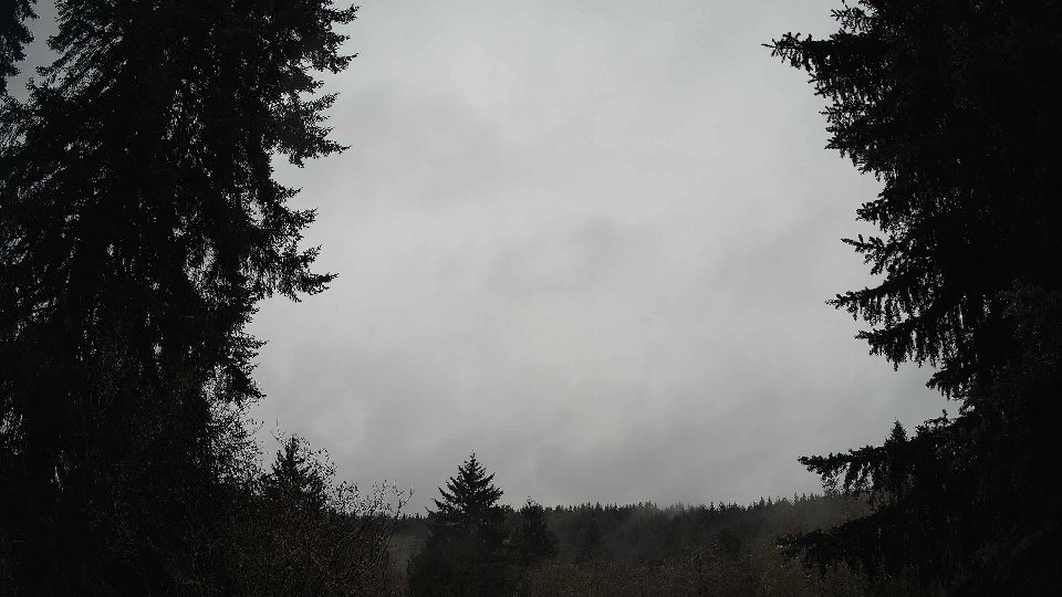
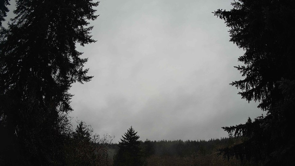
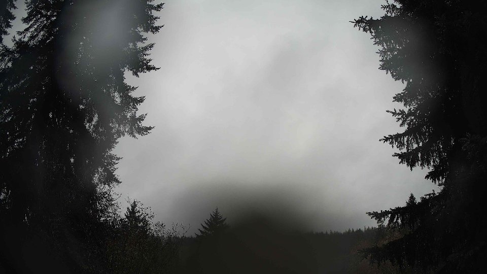
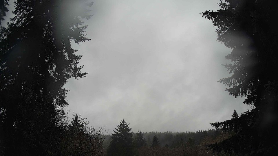
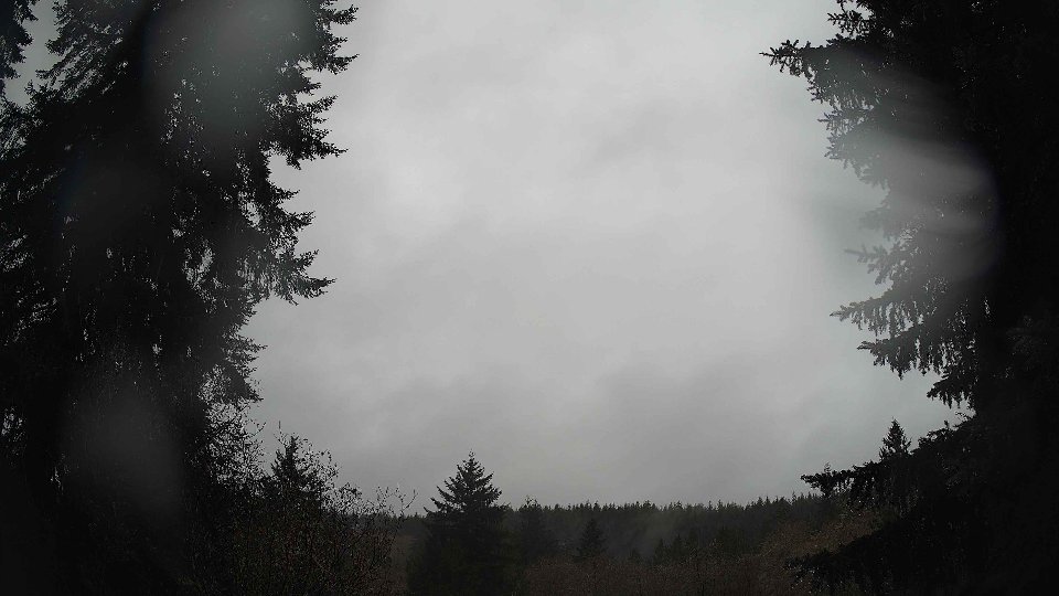
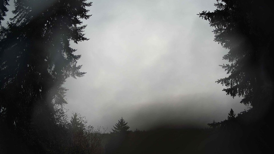
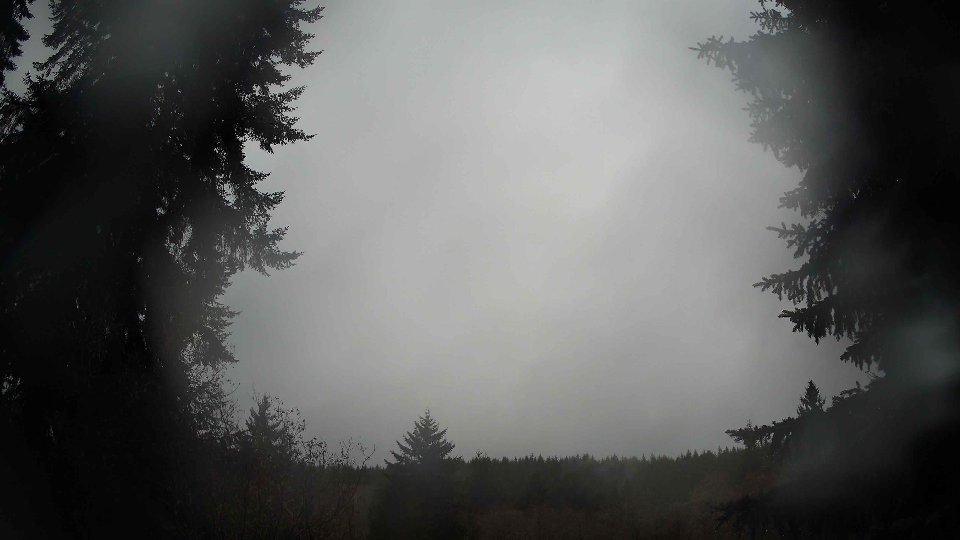
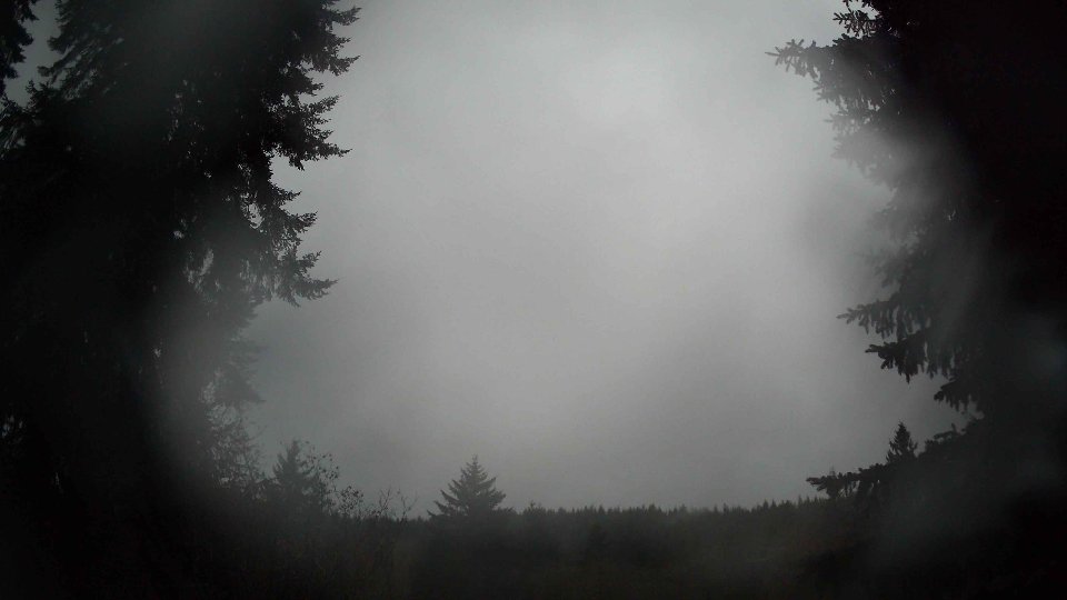
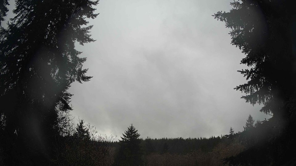
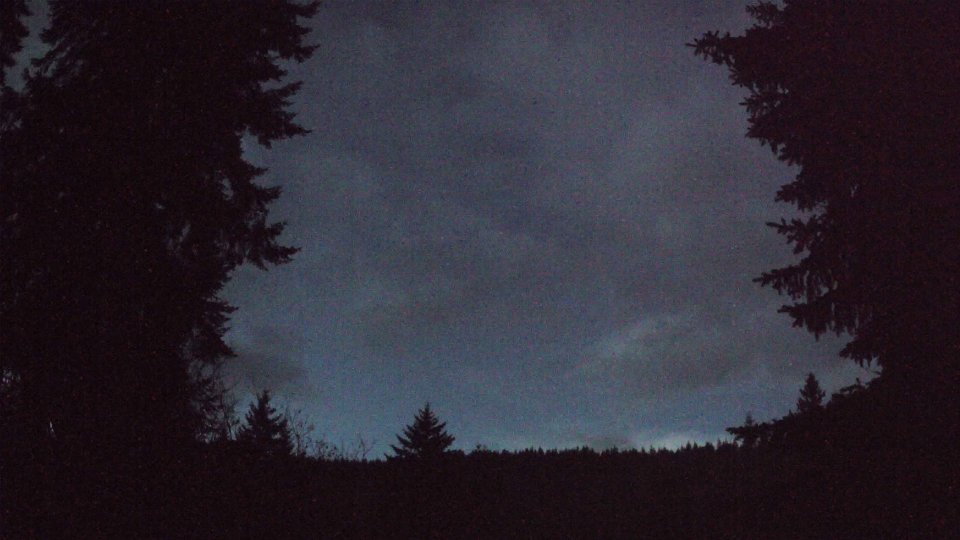
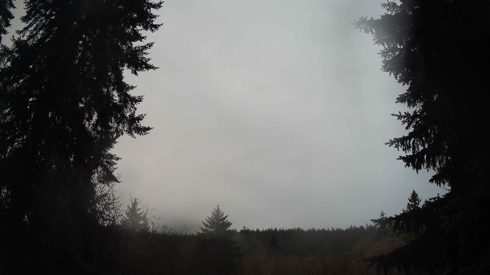
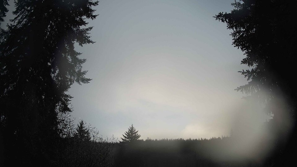
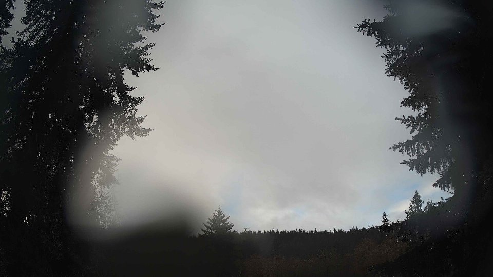
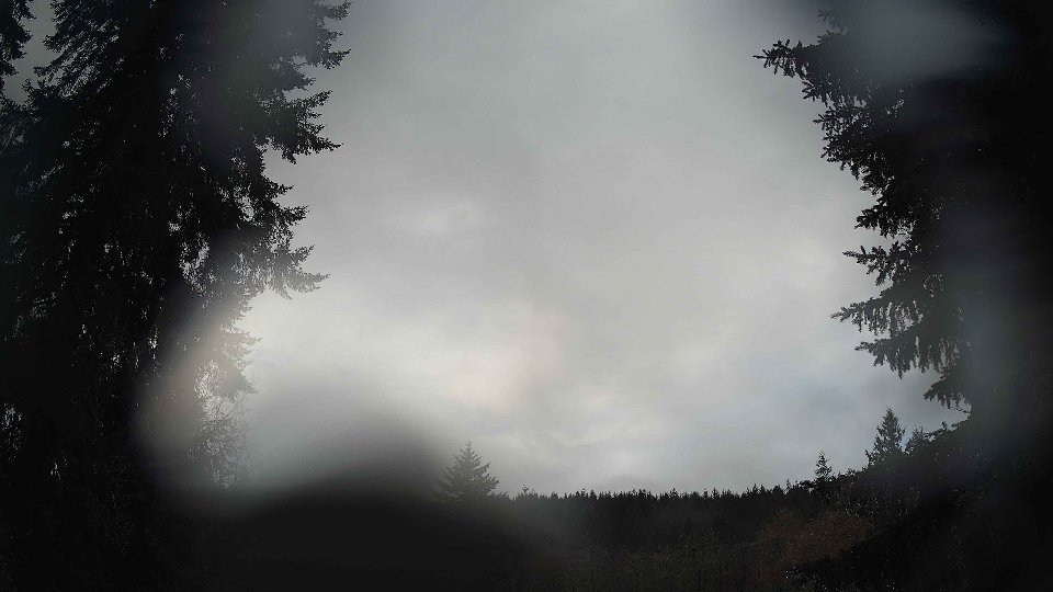
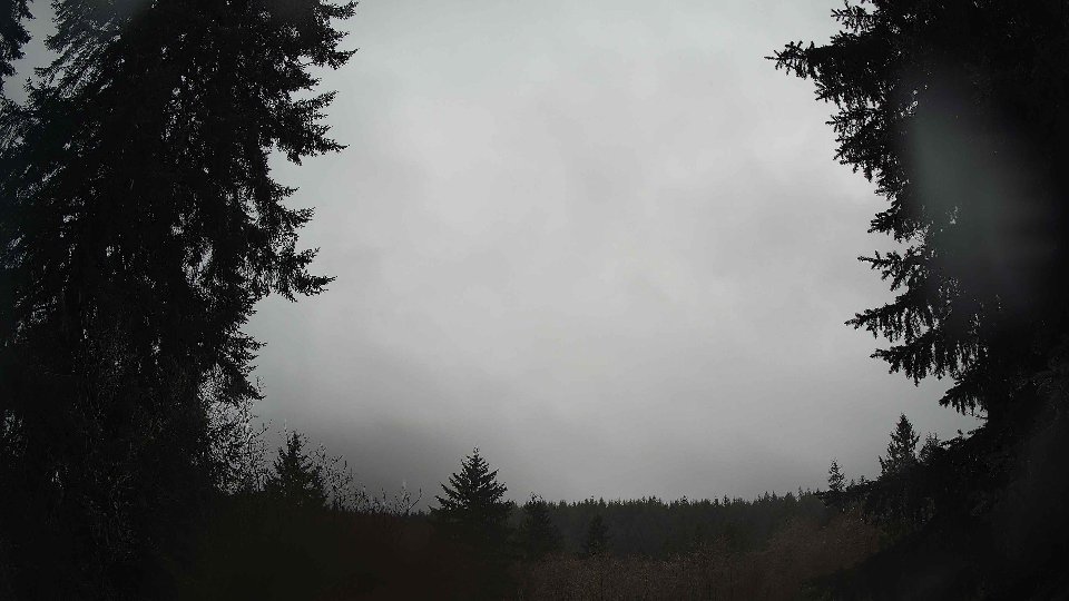
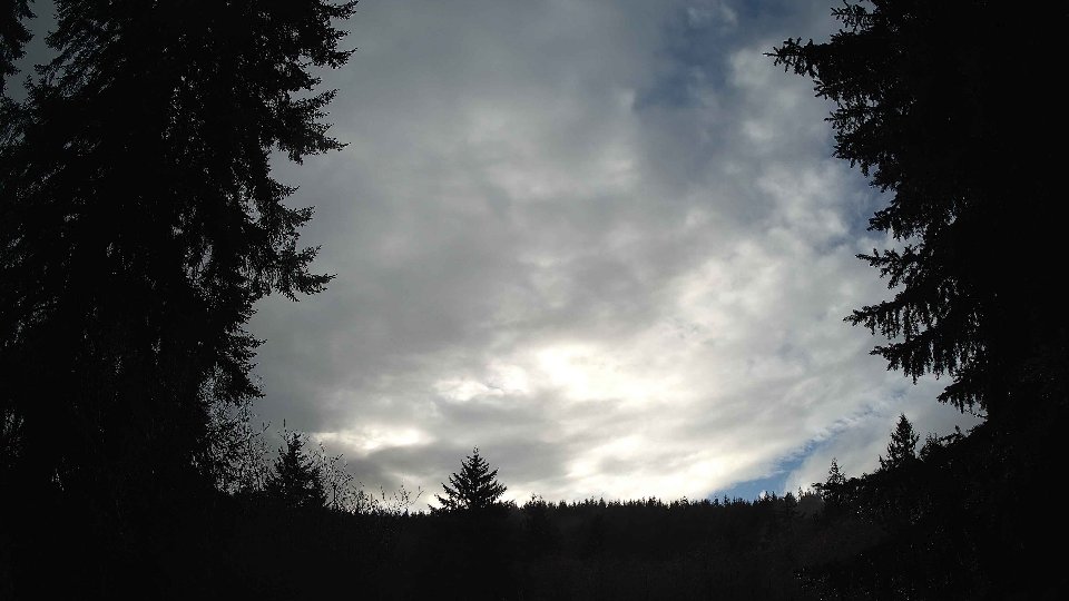
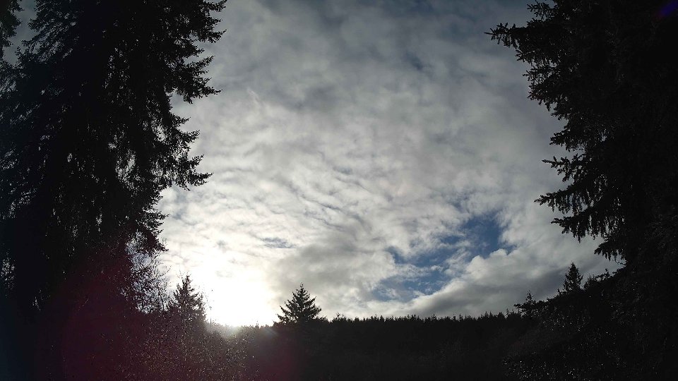
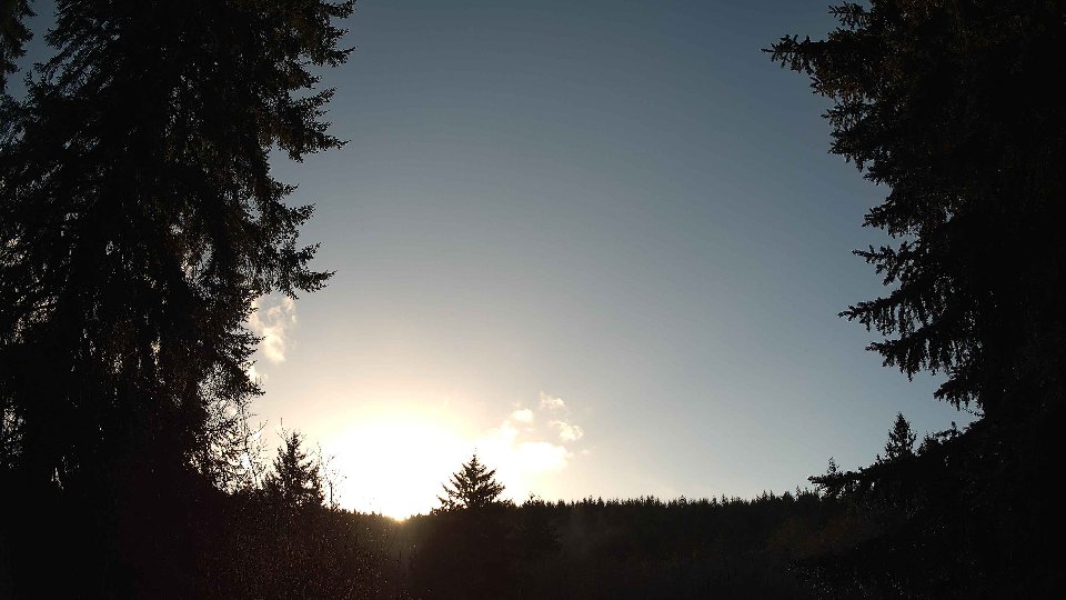
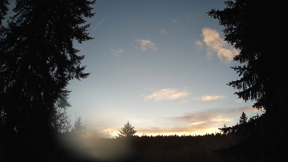
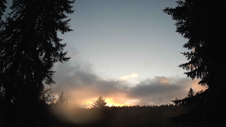
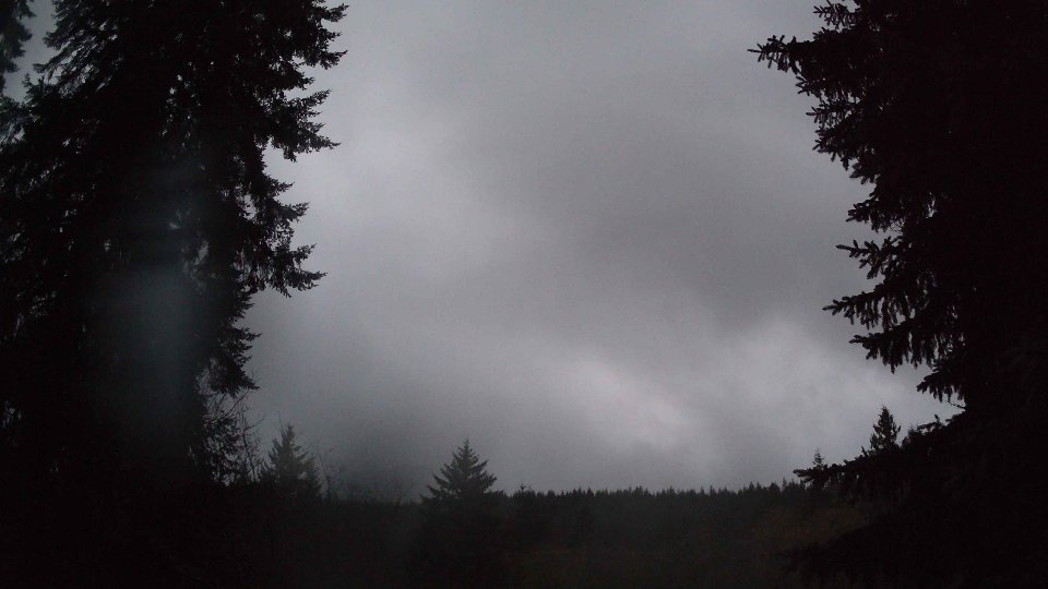
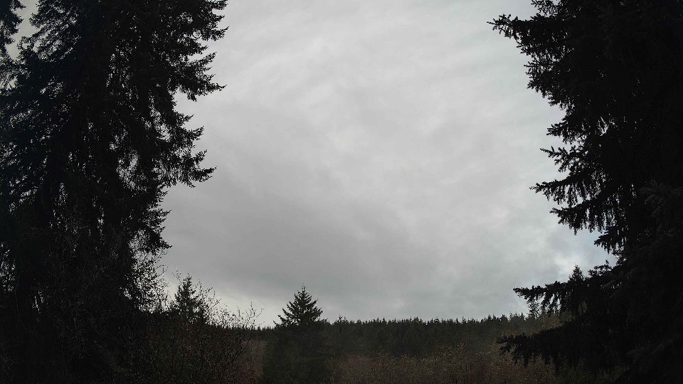
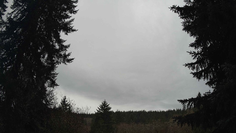
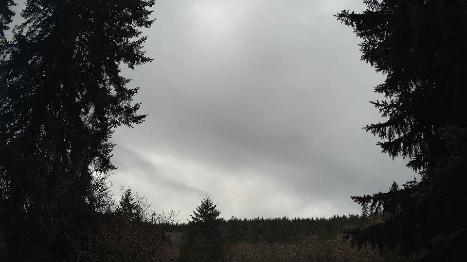
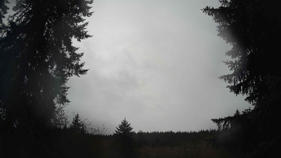
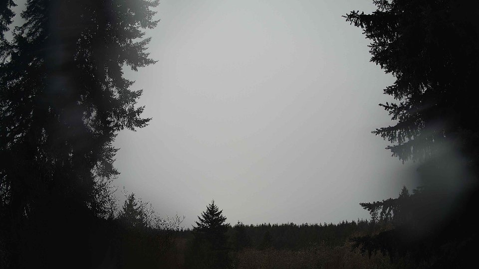
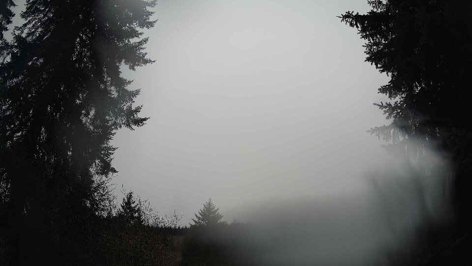
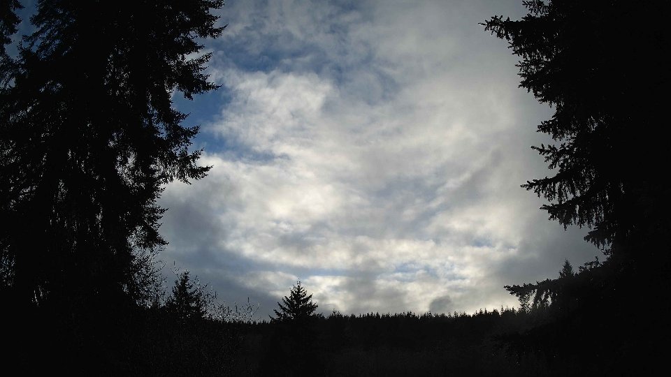
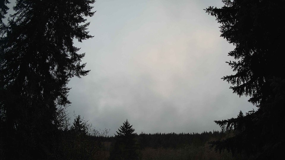
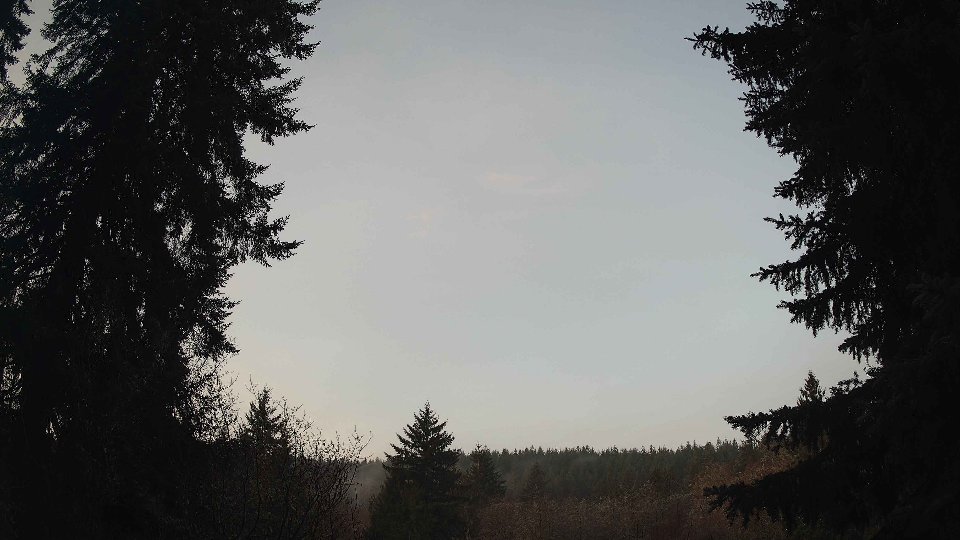
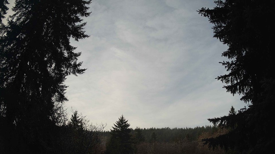
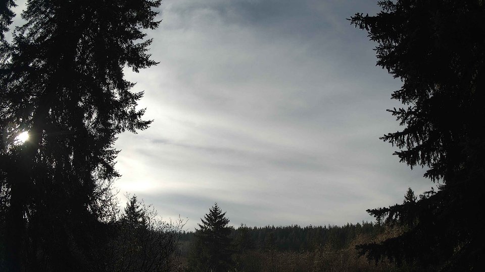
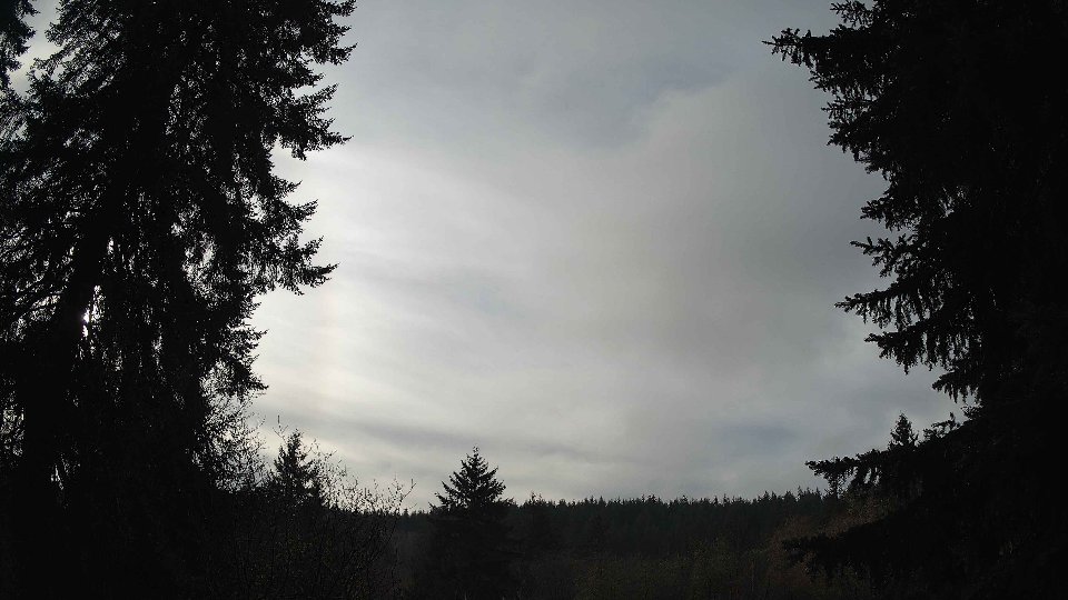
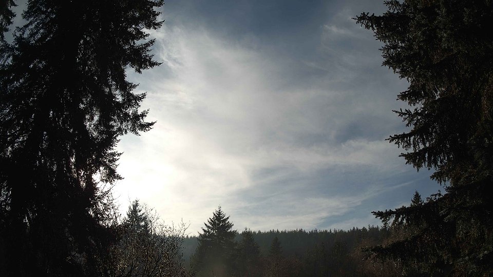
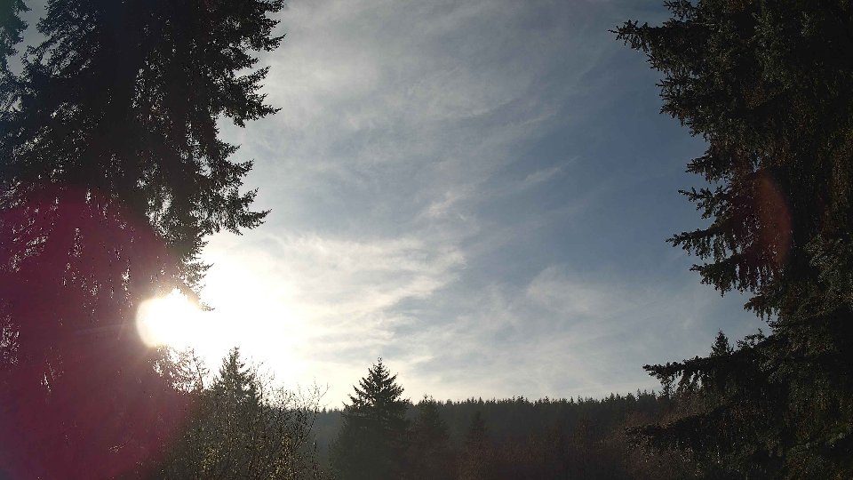
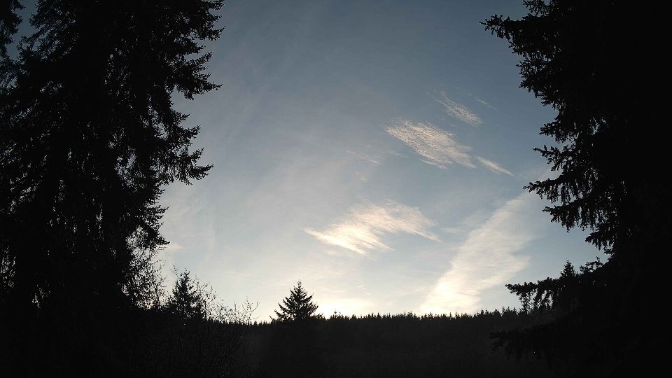
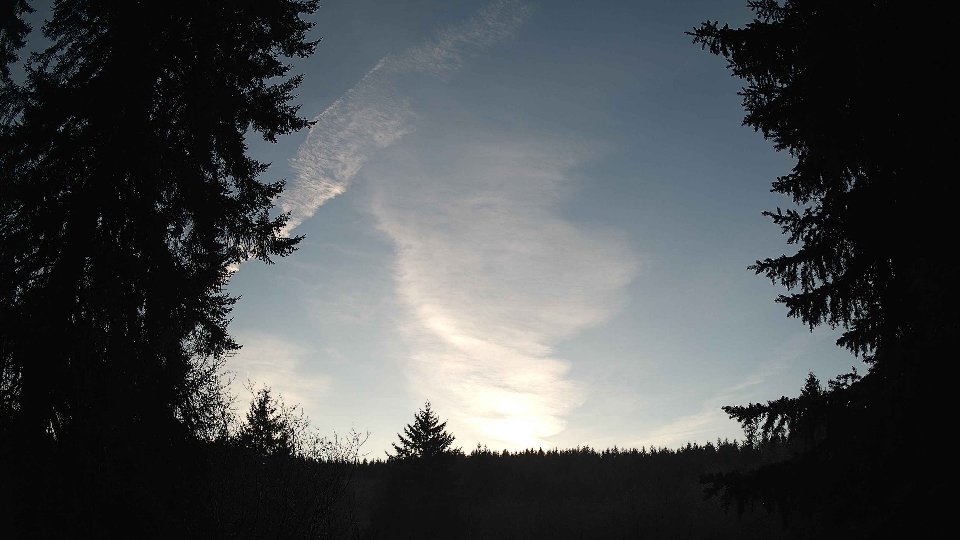
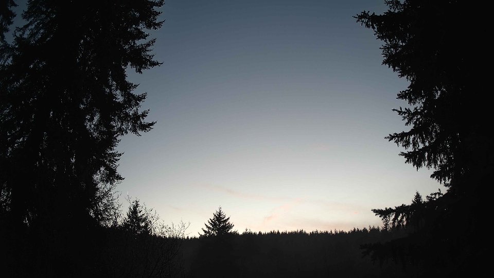
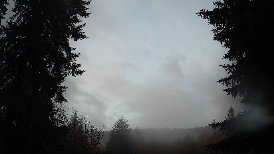
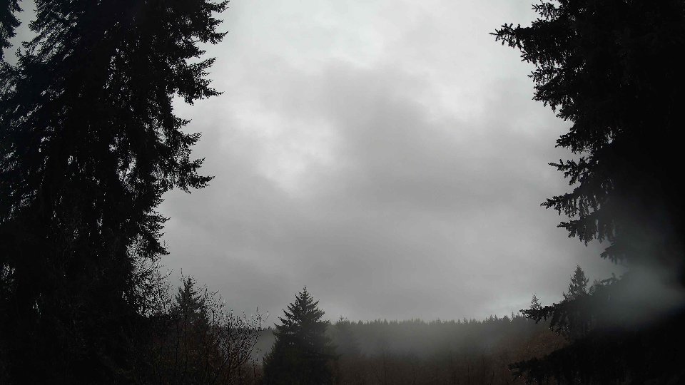
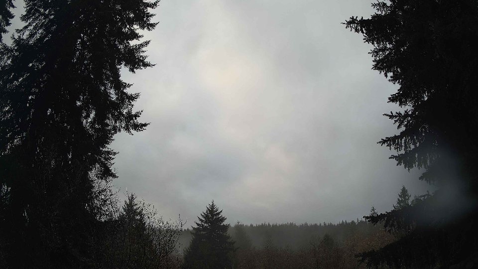
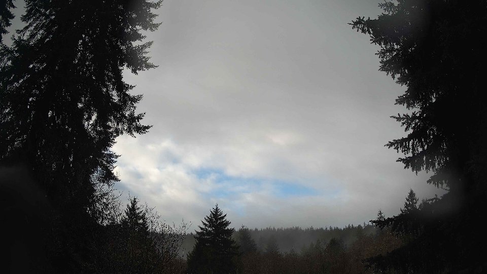
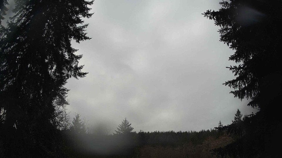
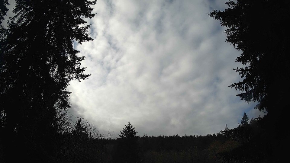
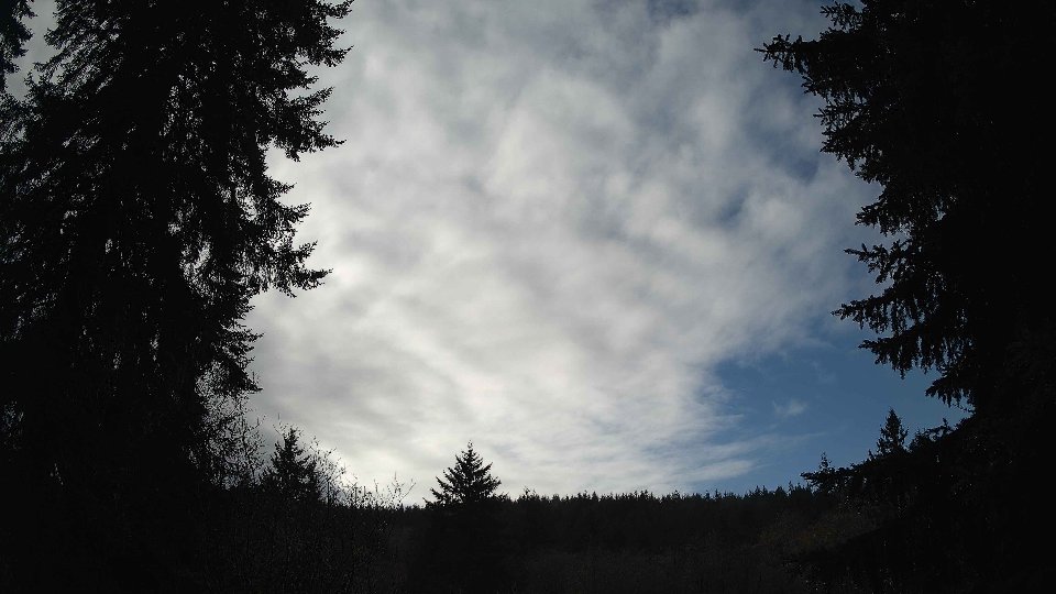
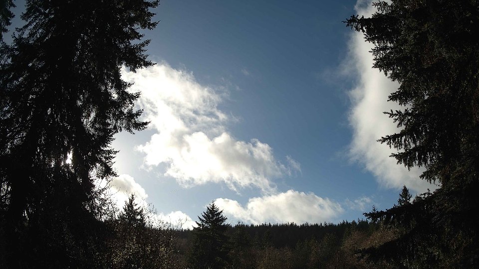
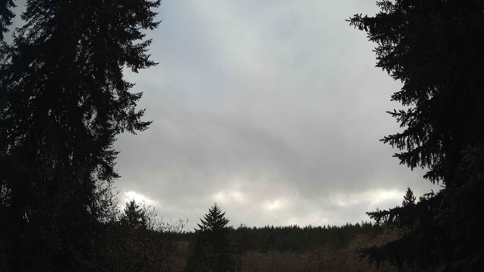
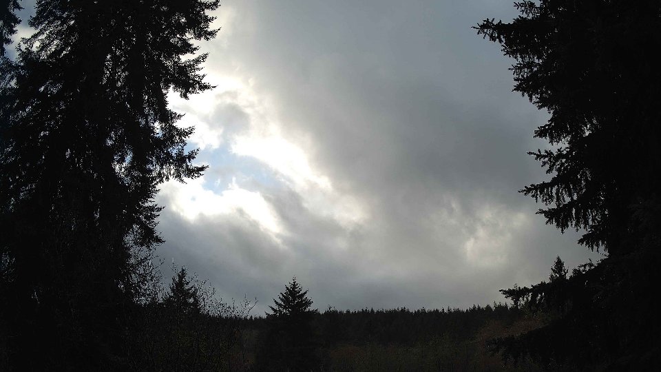
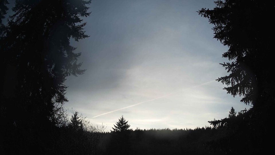
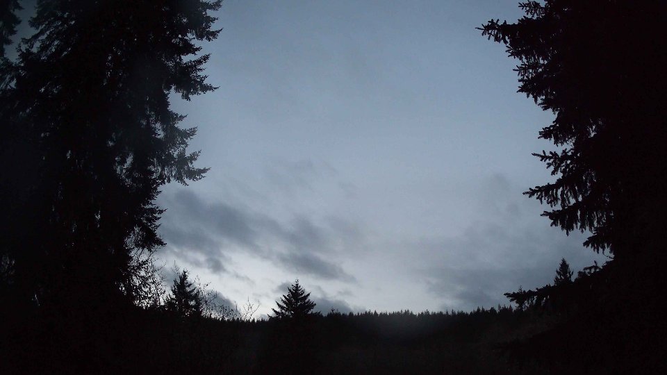
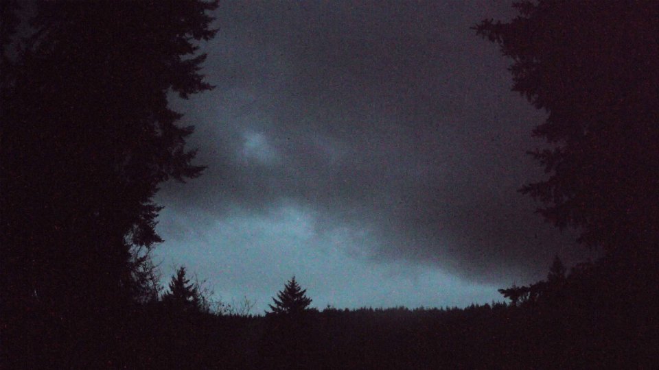
By the evening, the wind patterns continued to evolve, with surface winds increasing slightly to an average of 7.0 mph, while the winds at 100 meters surged to 15.0 mph, further enhancing the feeling of bluster in the atmosphere. The extensive cloud cover remained unwavering, still at 100%, but the high clouds decreased to 30.7%, allowing for glimpses of blue sky as the evening approached. This shift in high cloud coverage, coupled with the increase in wind speed at altitude, likely created added turbulence, making those low clouds dance erratically across the sky. As the temperature climbed slightly to 41.2°F, the cumulative precipitation reached 0.40 inches for the day, marking a significant weather event that was both visually captivating and indicative of the stormy patterns typical of the season in the Northwest.
December 4th, 2025 Timeline
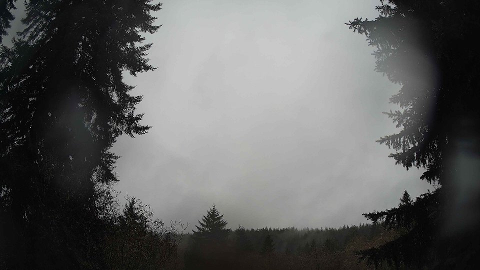
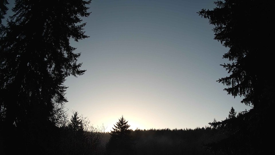
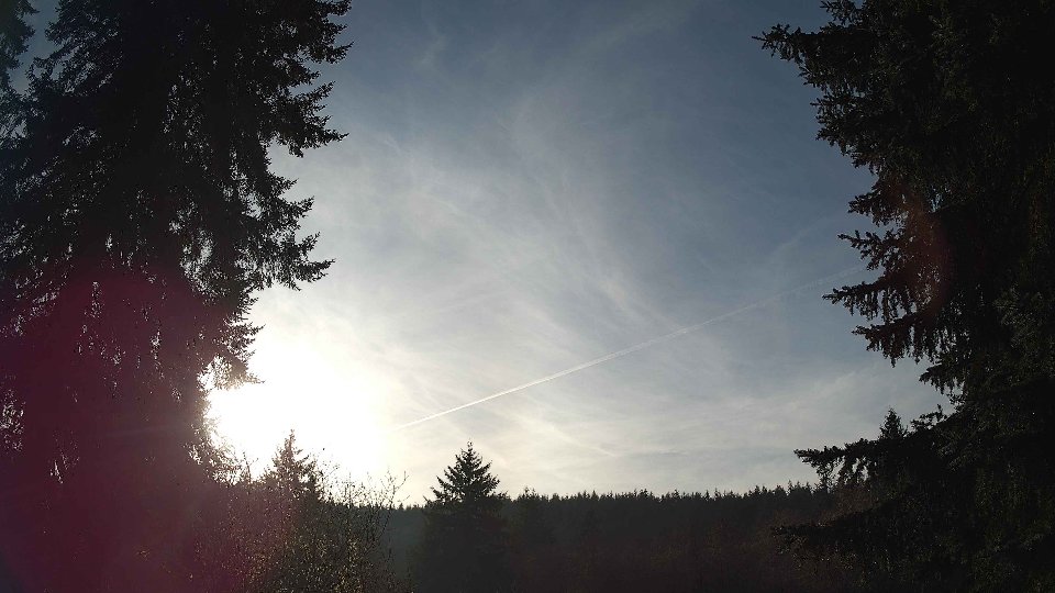
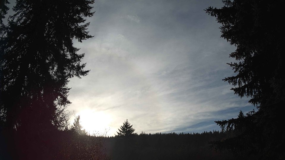
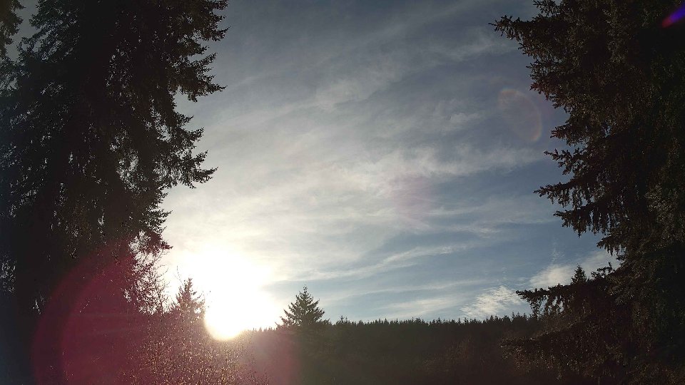
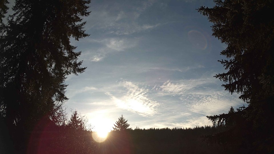
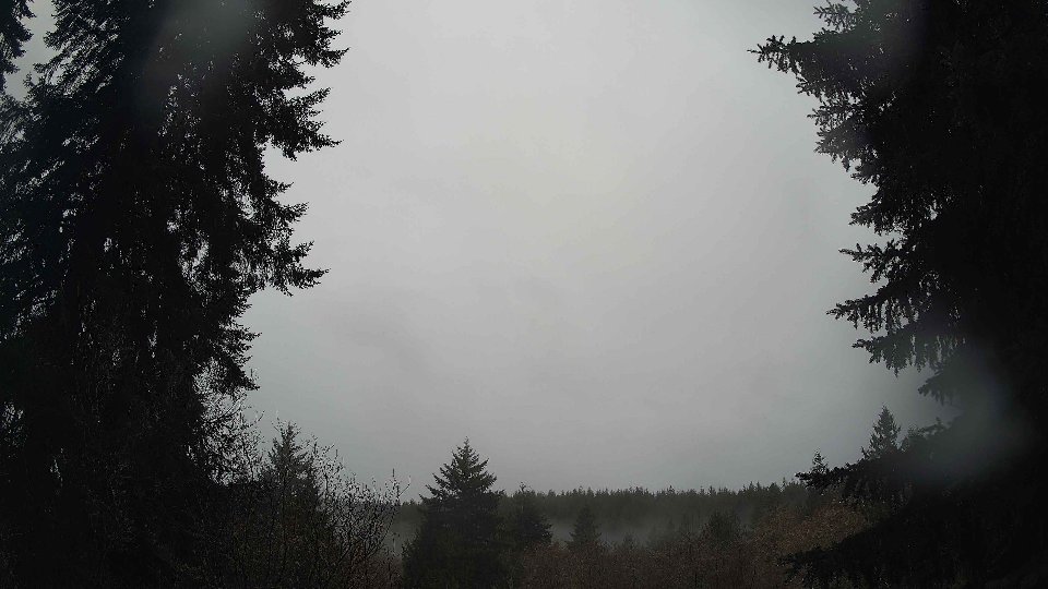
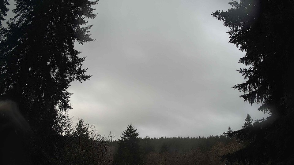
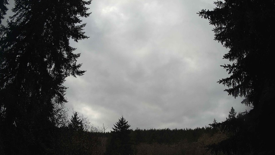
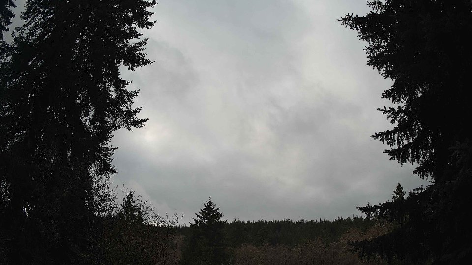
Screenshots with weather data (wind layers, clouds, precipitation)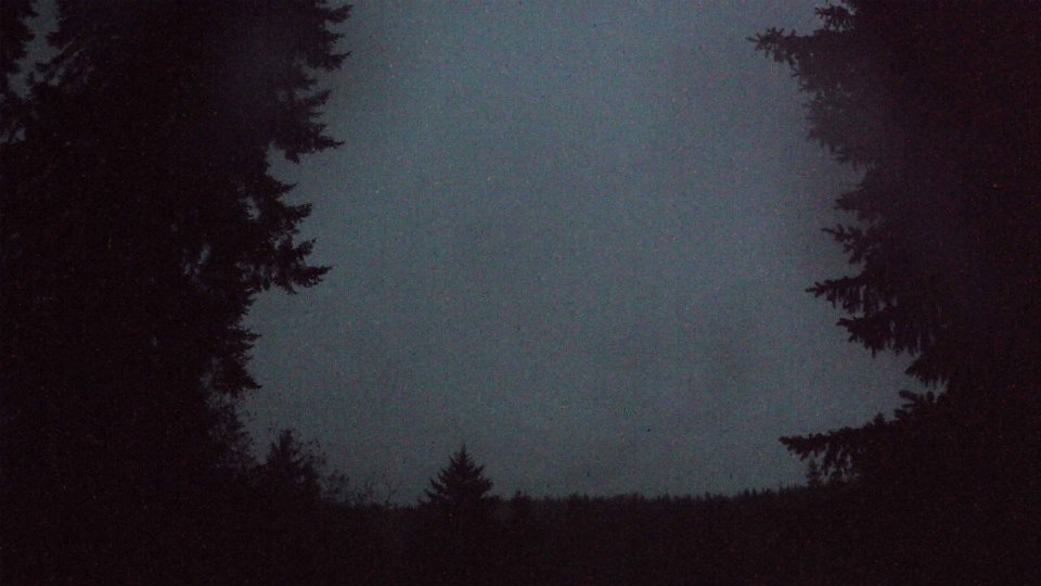


Weather Info for December 4th, 2025
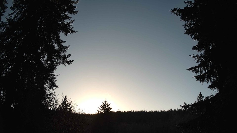
Sunset: 4:27 PM