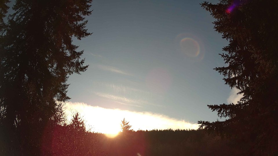
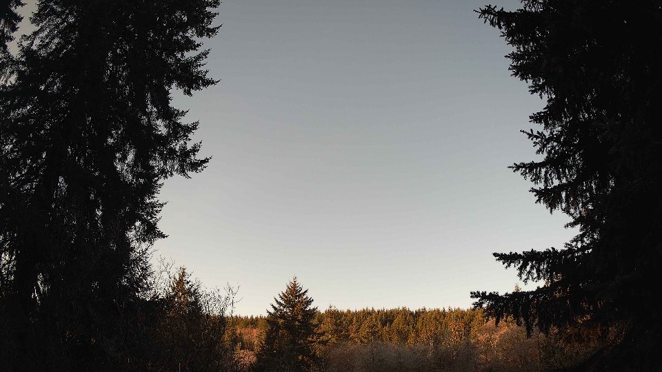
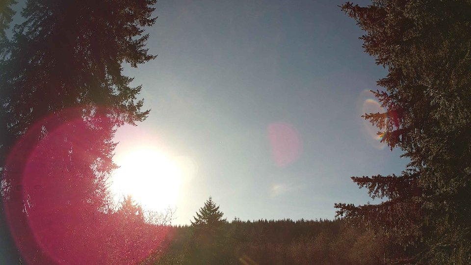
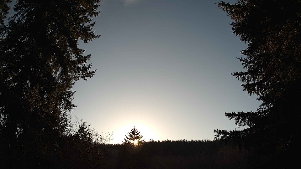
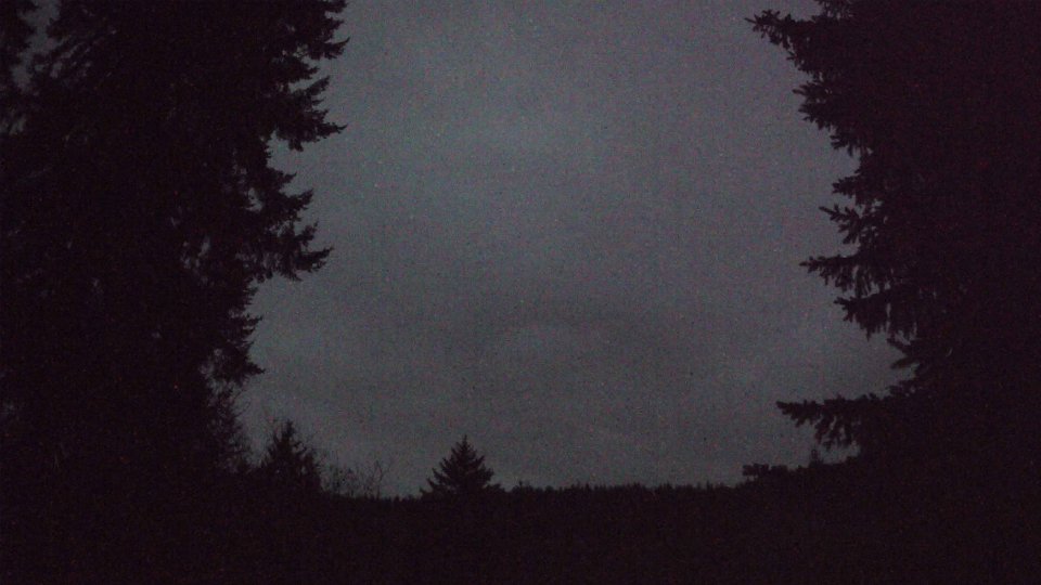
January 20th, 2026 Timelapse
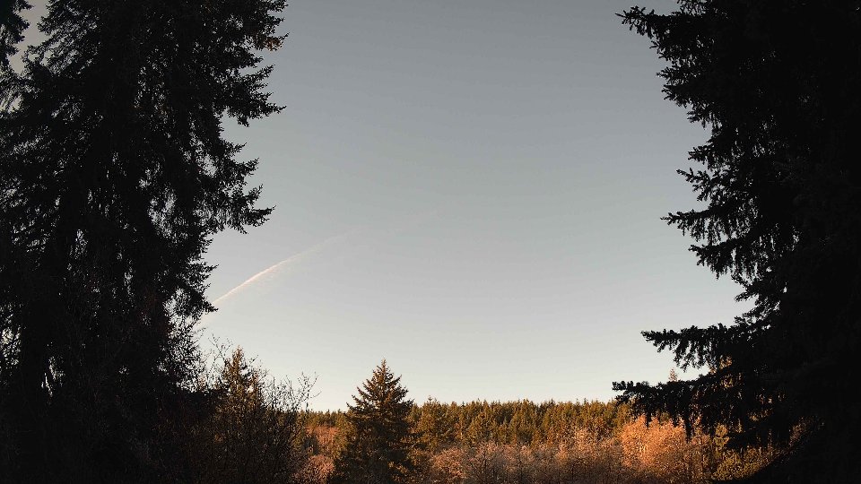
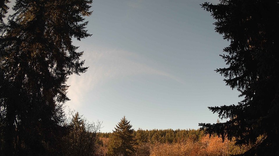
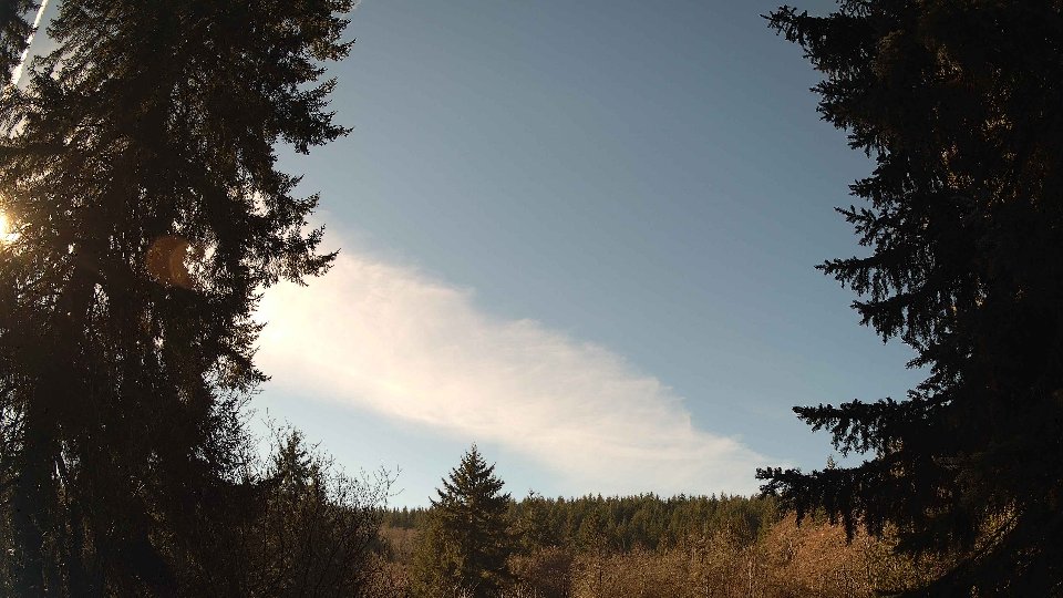
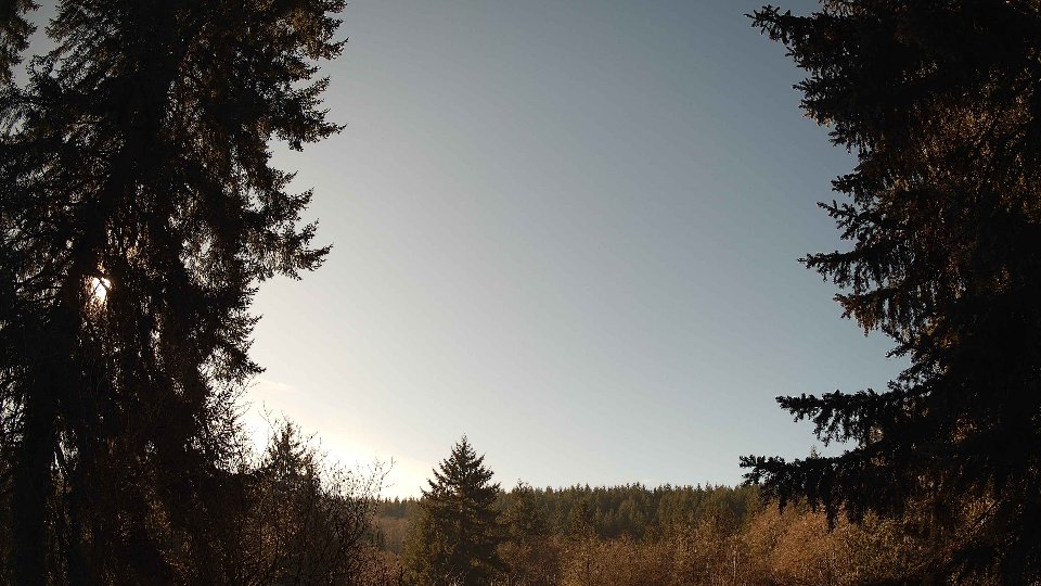
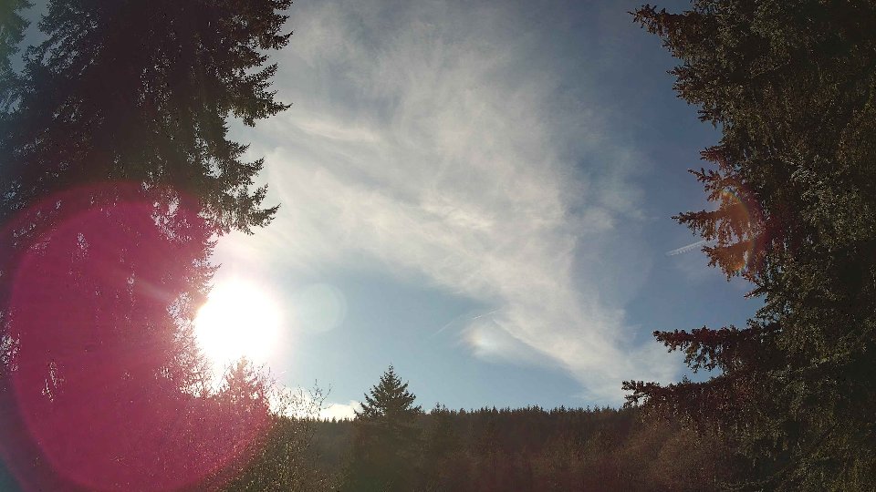
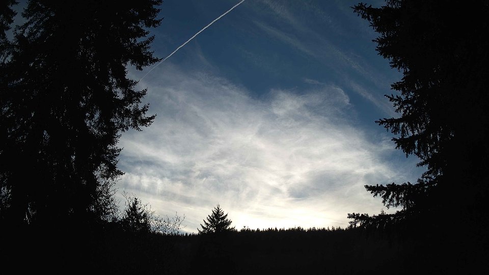
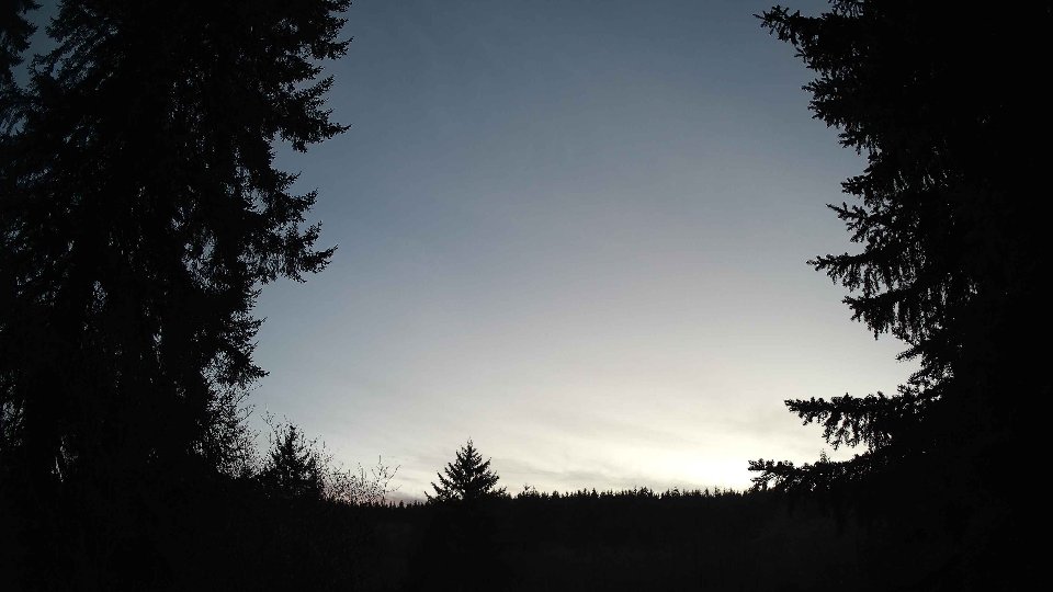
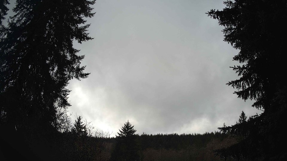
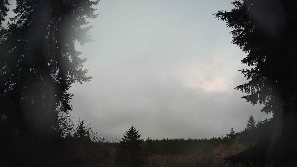
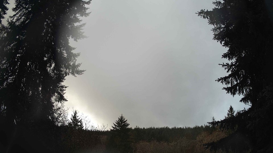
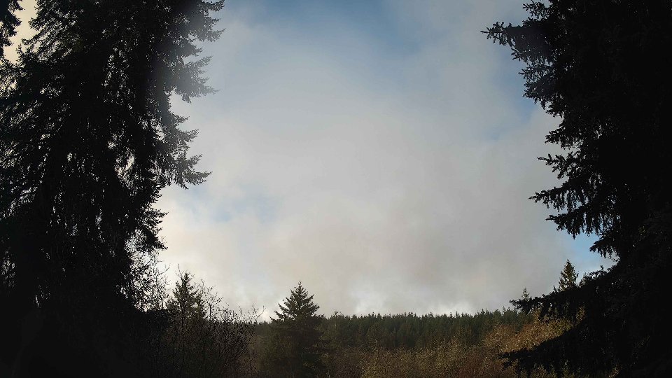
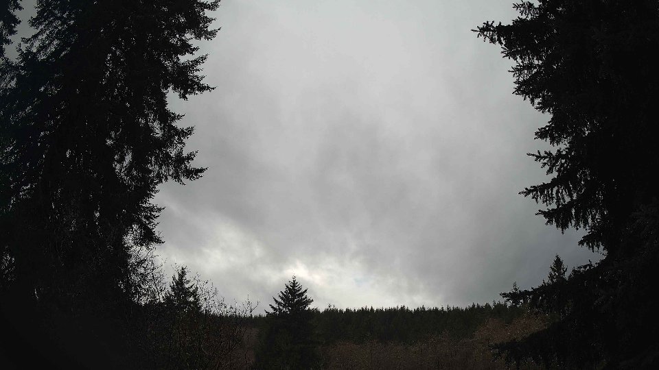
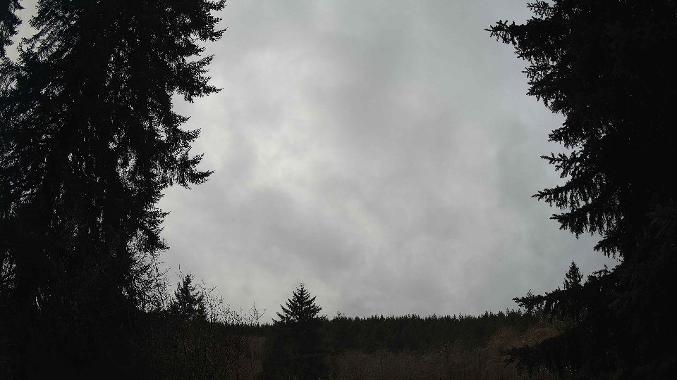
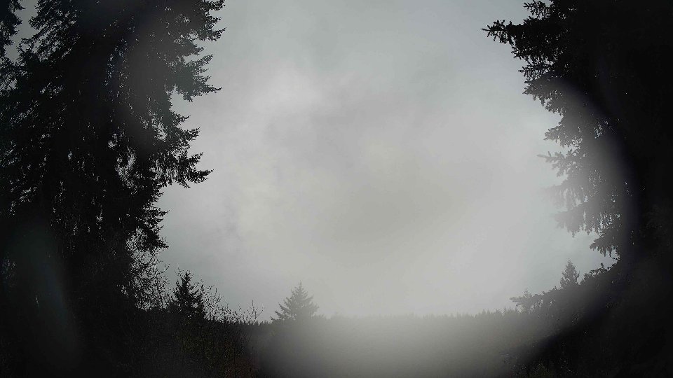
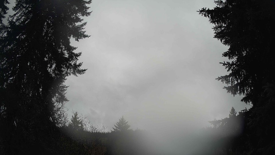
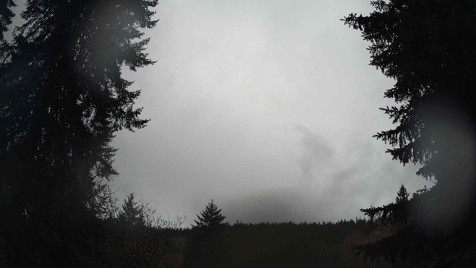
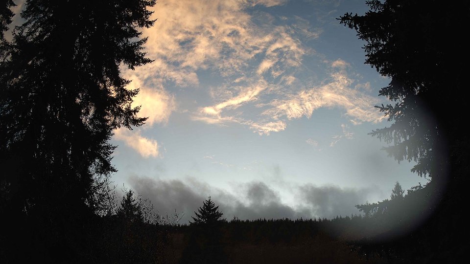
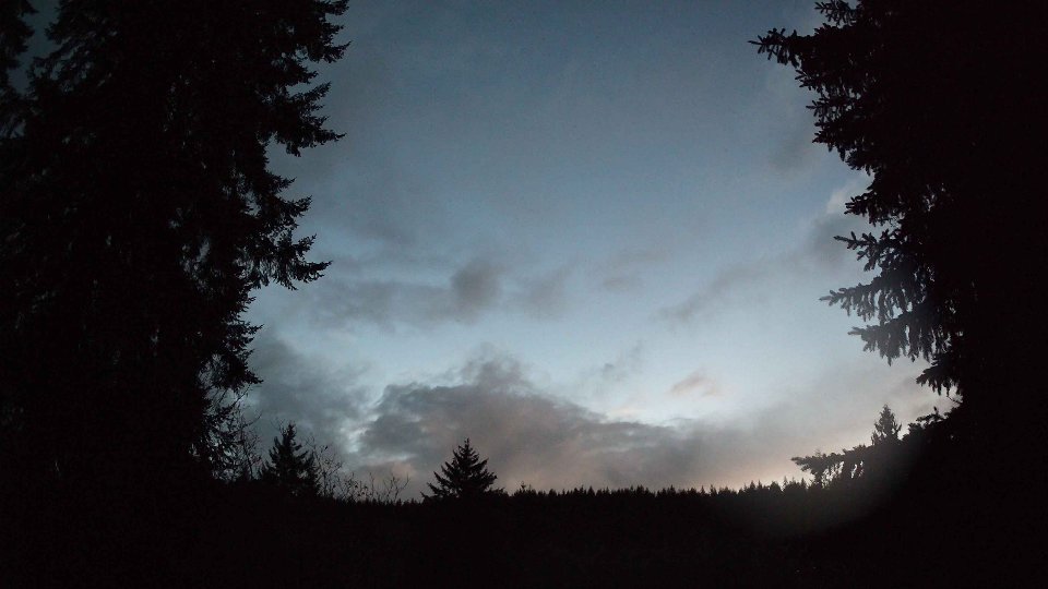
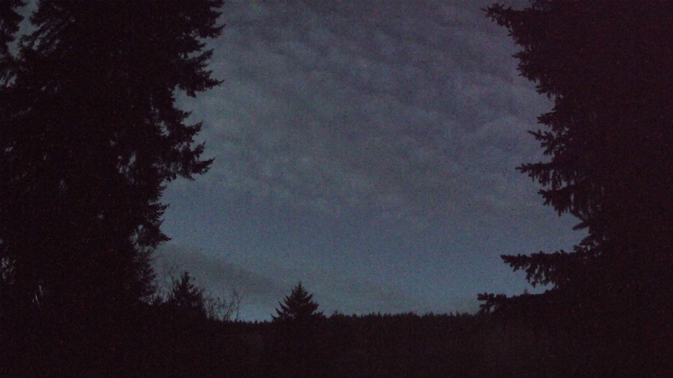
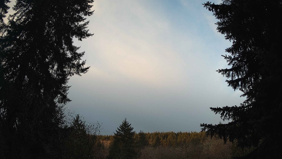
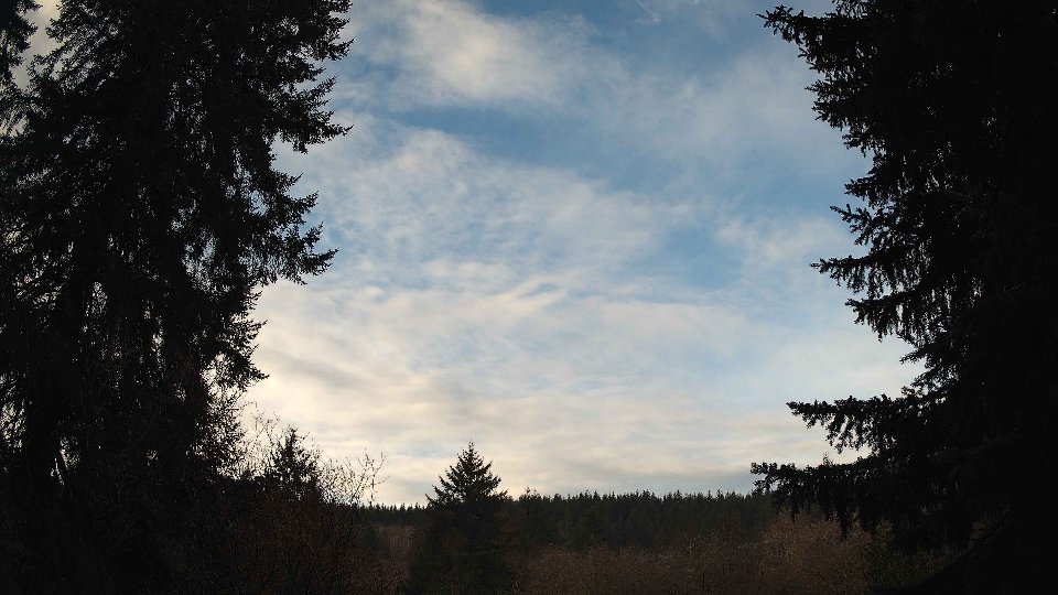
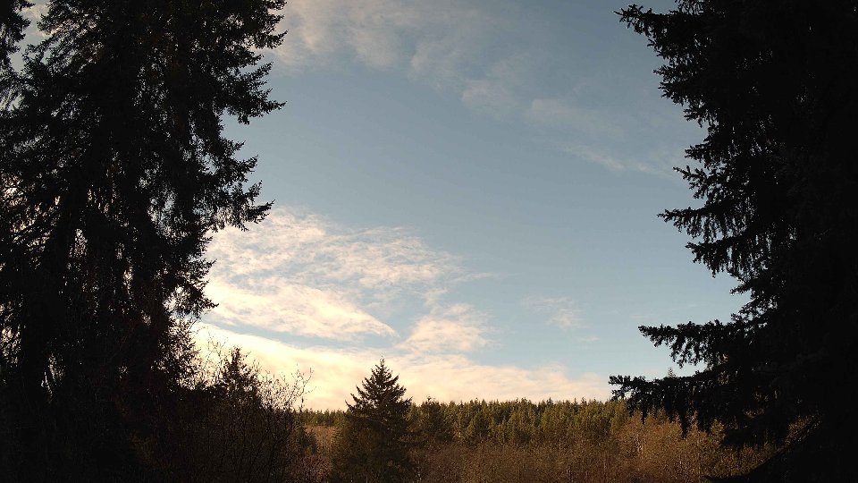
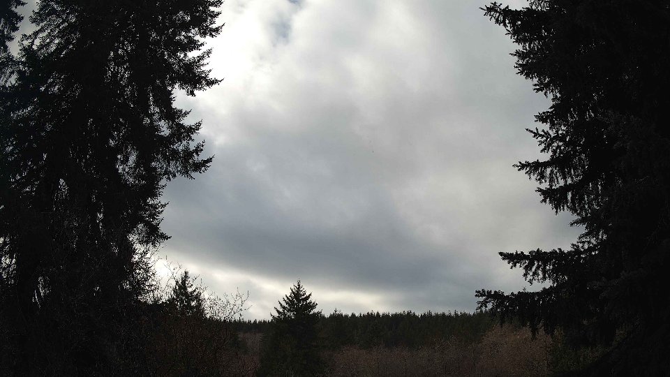
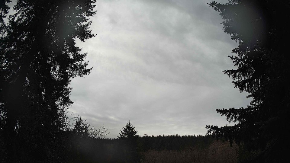
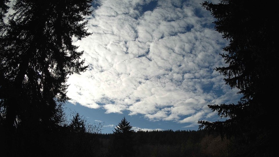
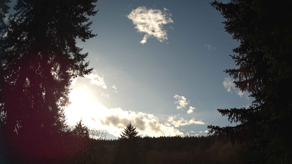
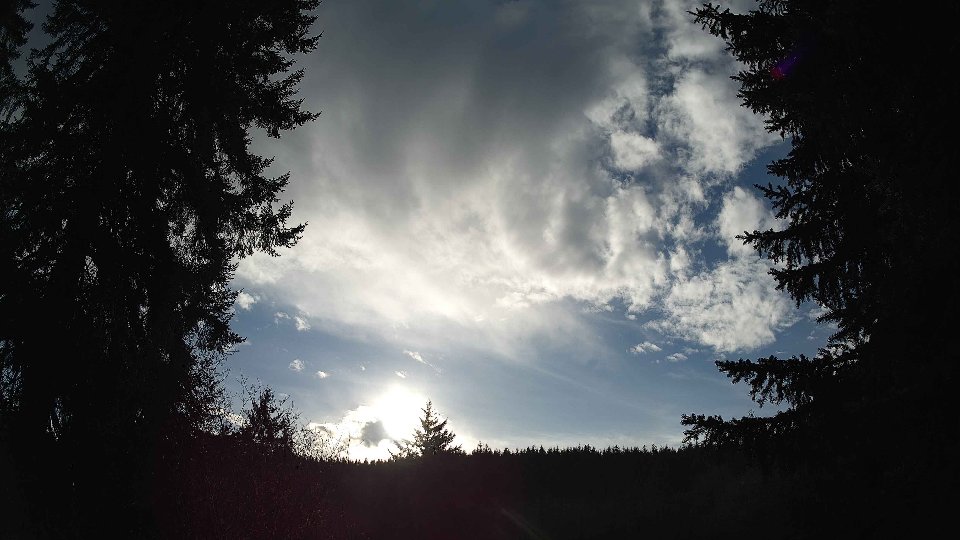
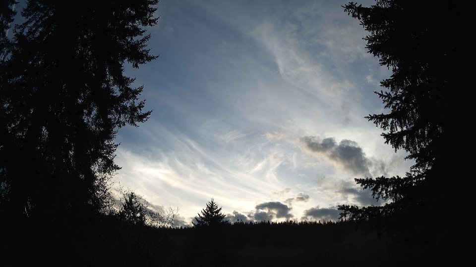
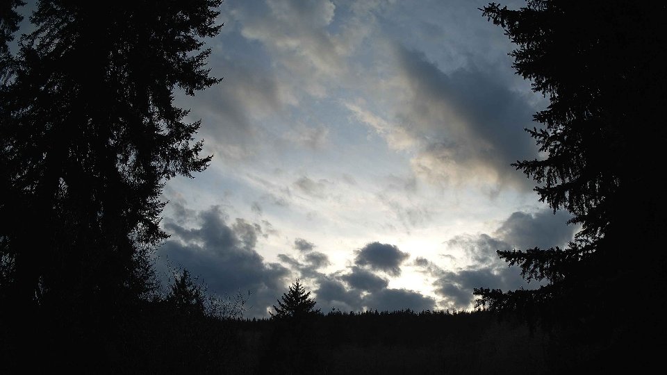
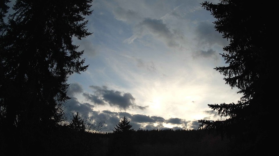
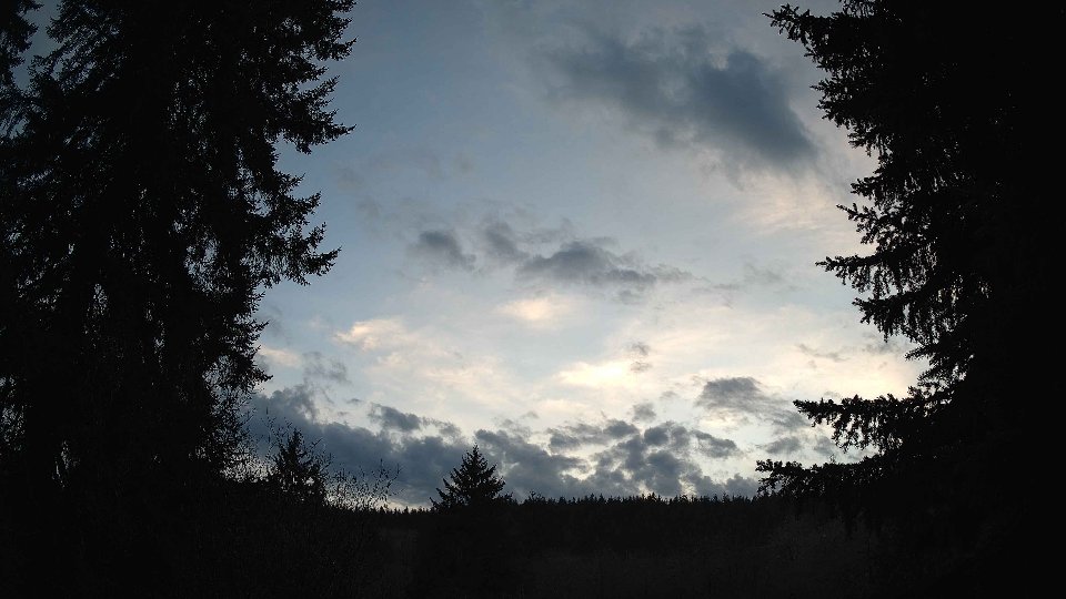
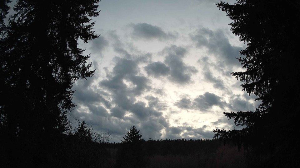
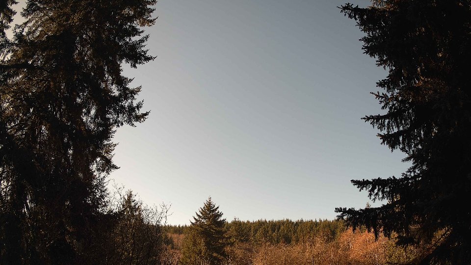
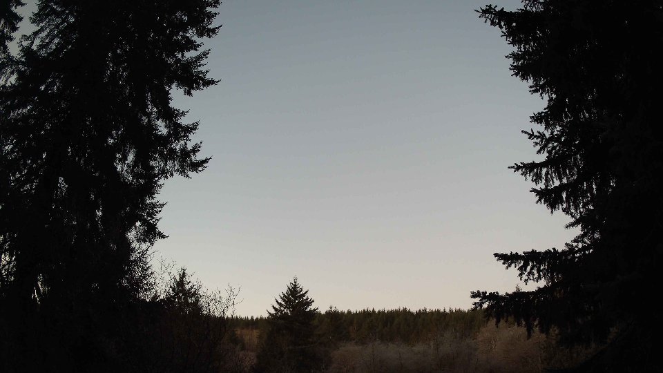
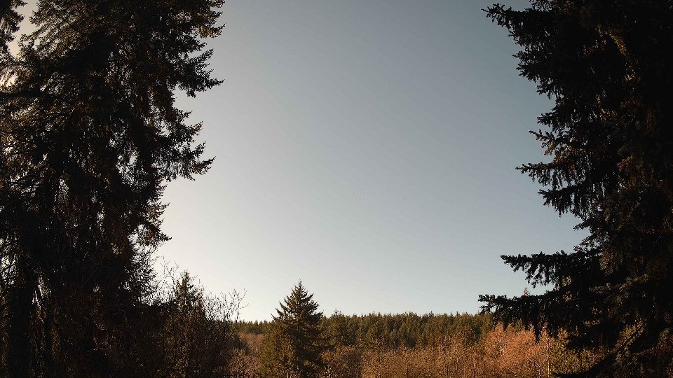
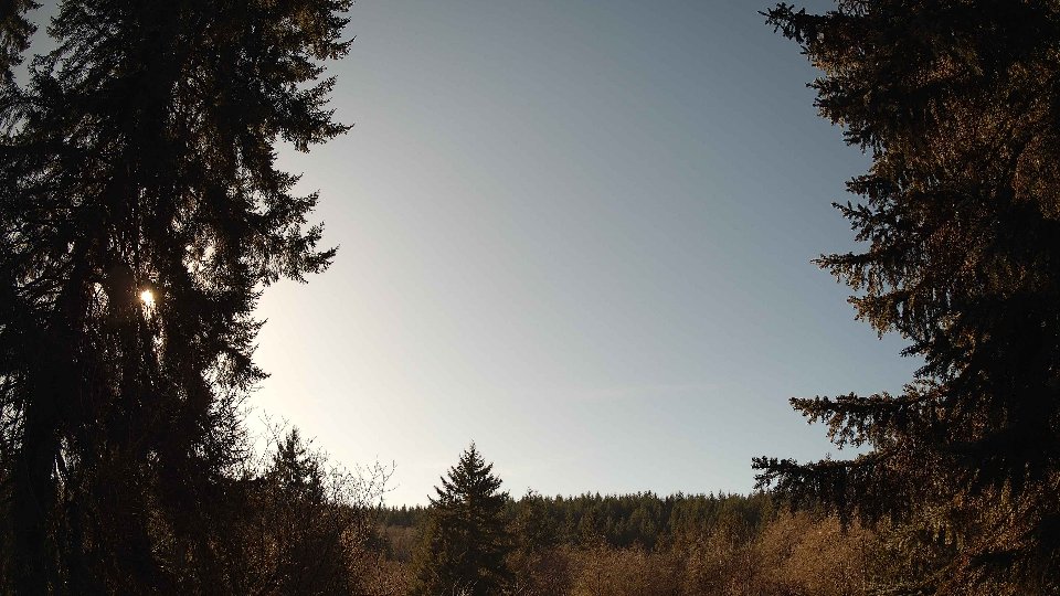
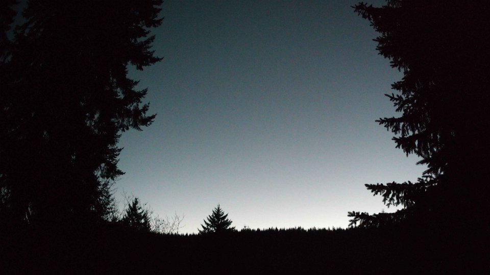
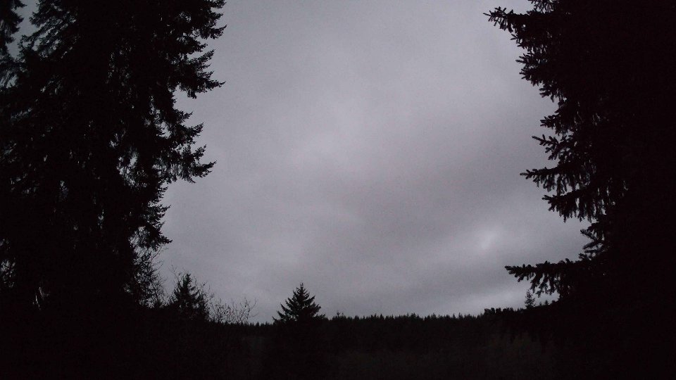
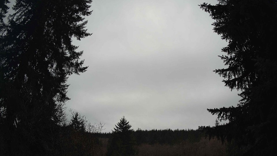
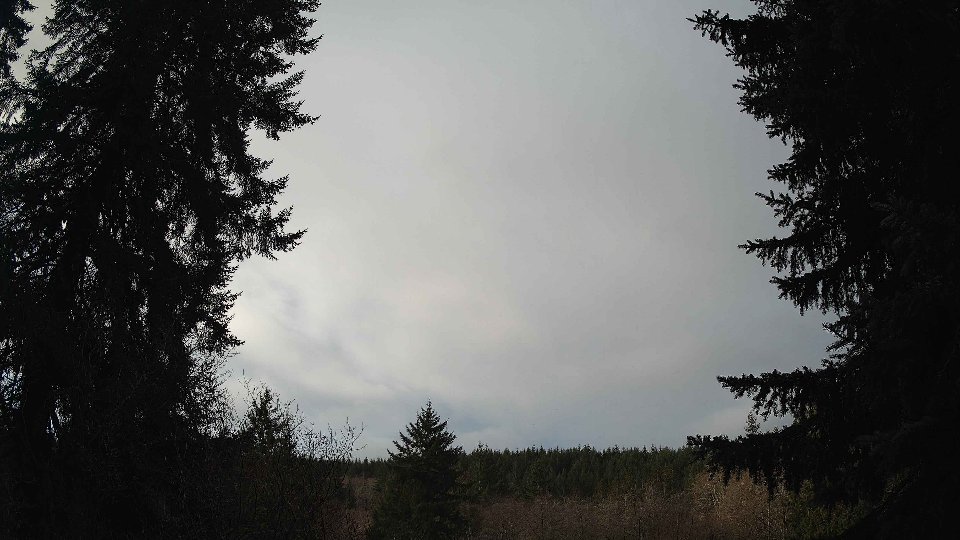
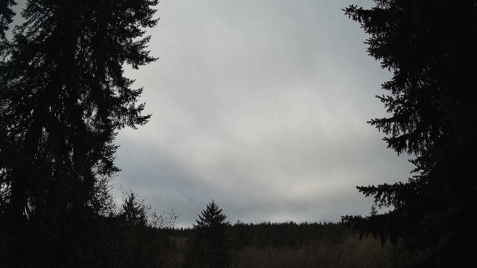
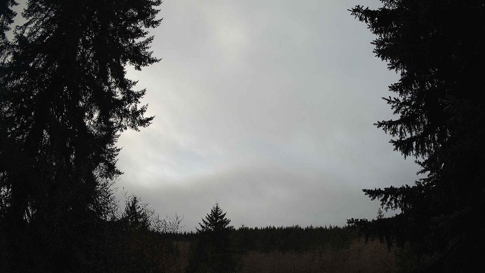
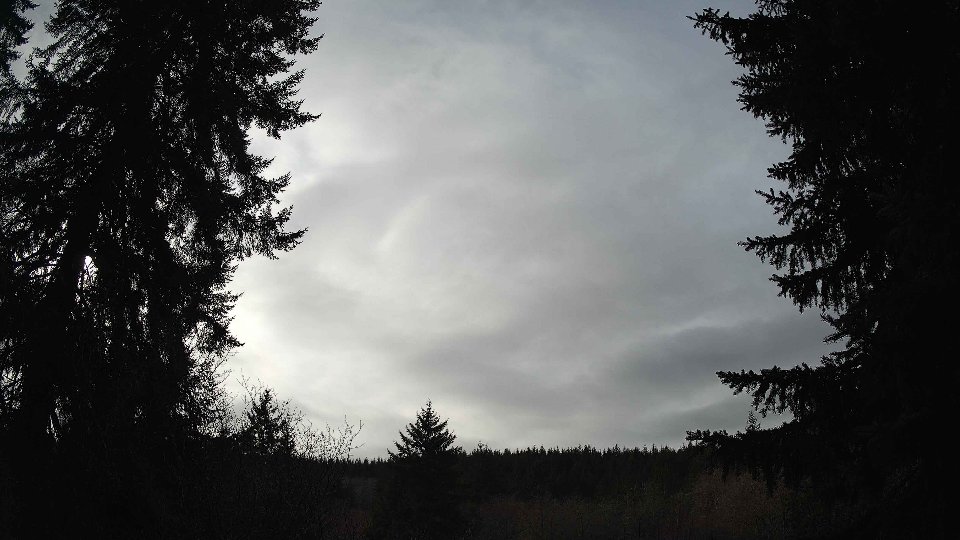
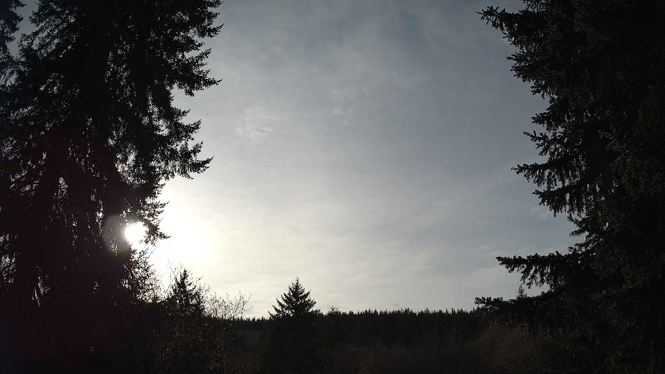
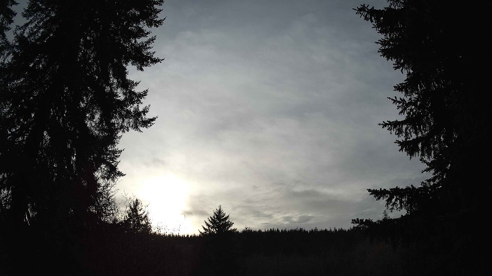
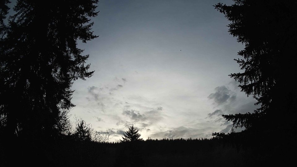
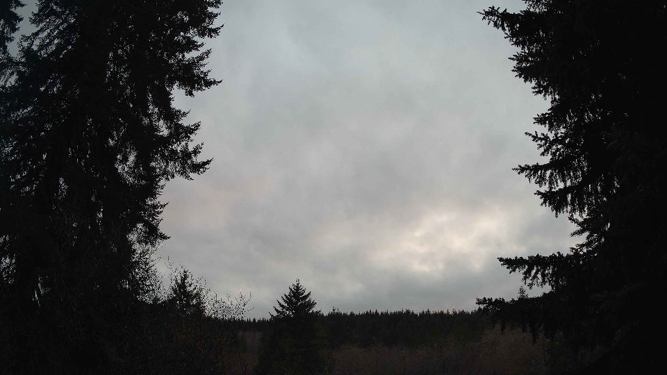
On January 20th, the morning began with a cool and somewhat overcast atmosphere, where the average temperature lingered around 30.4°F. Surface winds were gentle, averaging just 2.8 mph, while at a height of 100 meters, winds picked up to a brisk 7.5 mph. These upper winds, significantly stronger than those at the surface, began to influence the movement of a thick blanket of clouds, which covered roughly 76.3% of the sky. Low clouds constituted about 45.7% of the coverage, creating a heavy gray overcast, while high clouds made up the remaining 42.7%. The disparity between surface and upper wind speeds created minor turbulence, contributing to the layered visual effect of the clouds, as they slowly drifted to the east under the influence of the higher altitude winds.
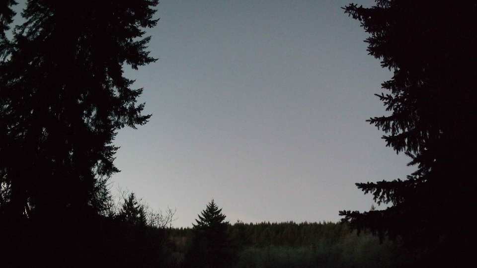
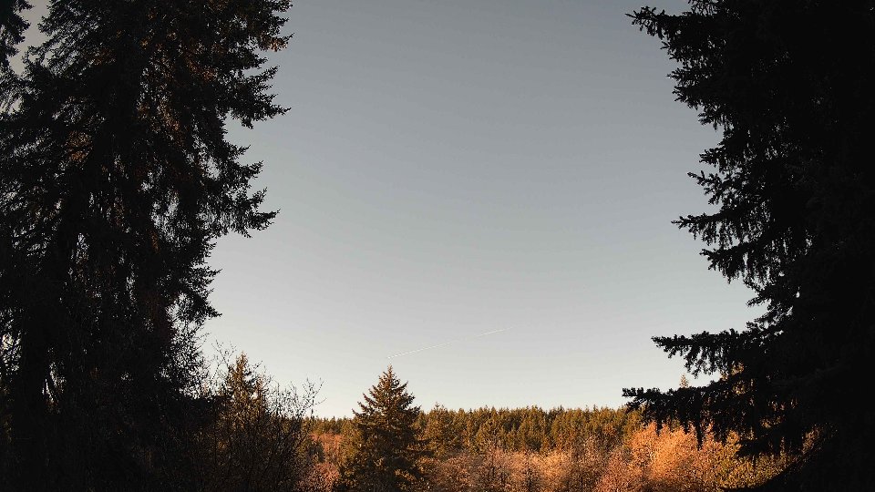
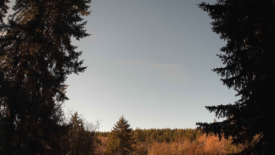
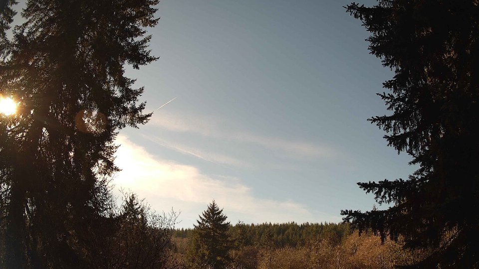
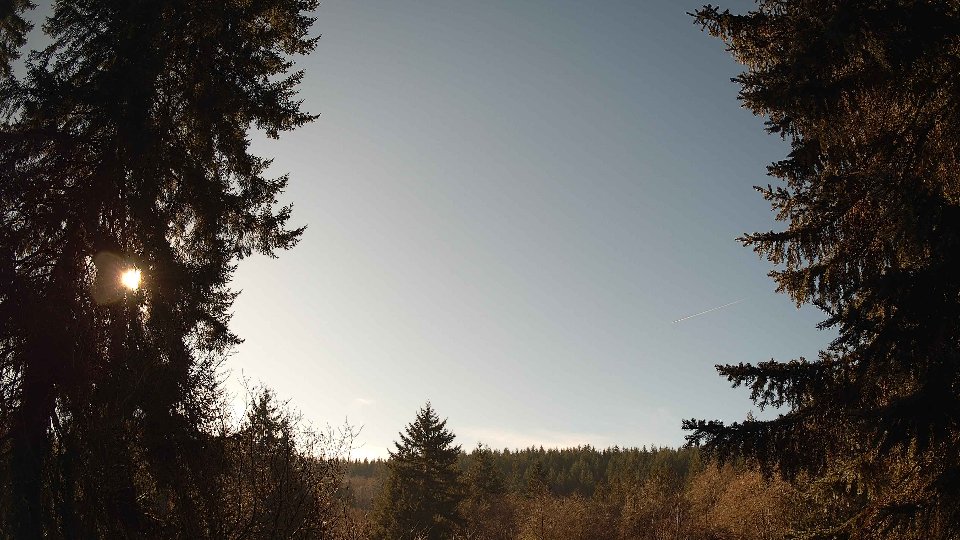
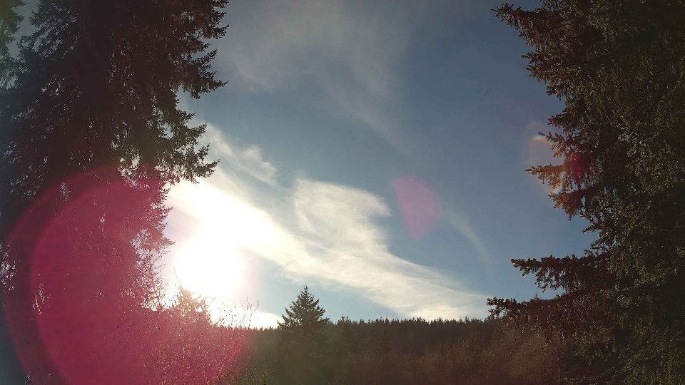
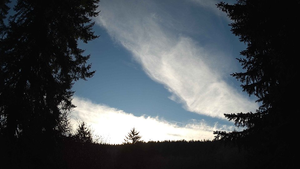
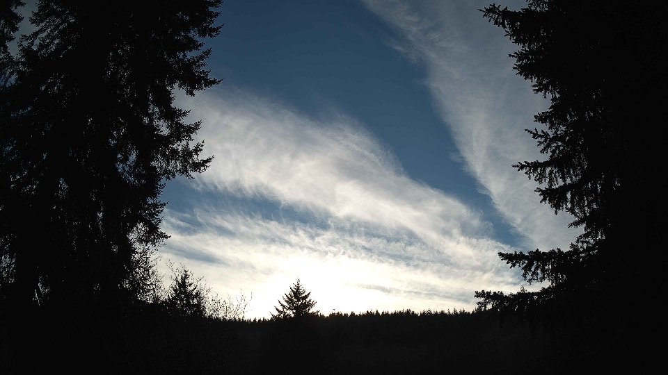
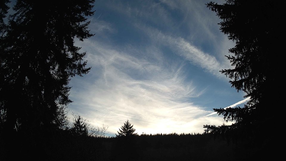
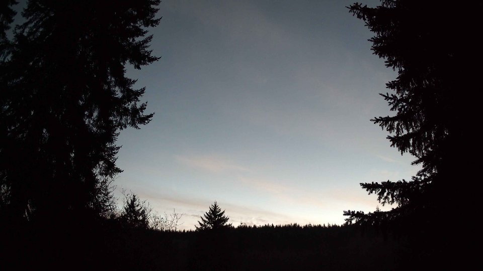
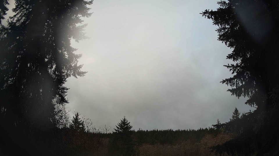
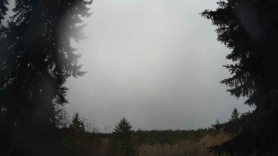
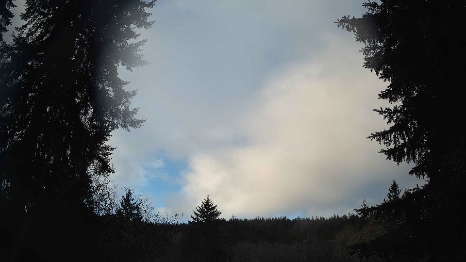
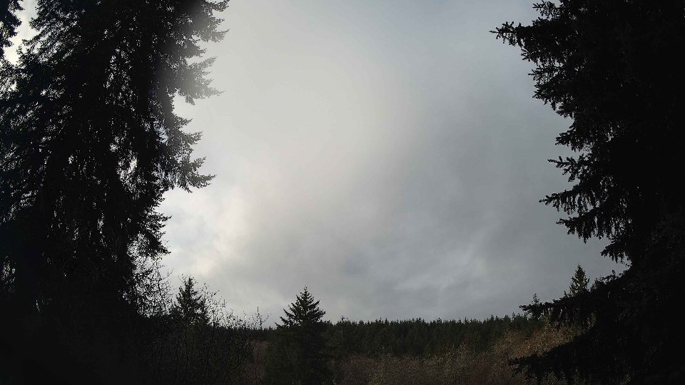
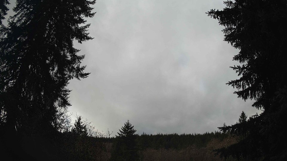
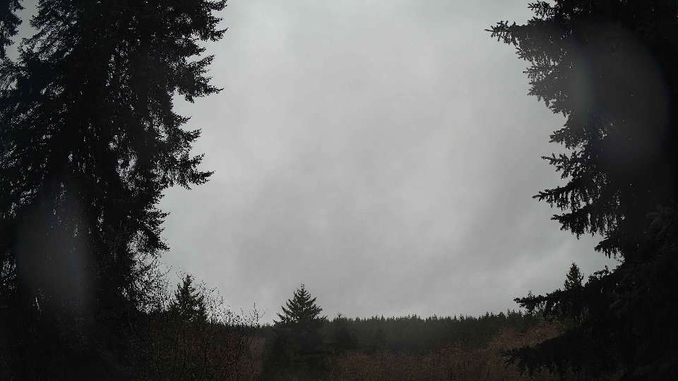
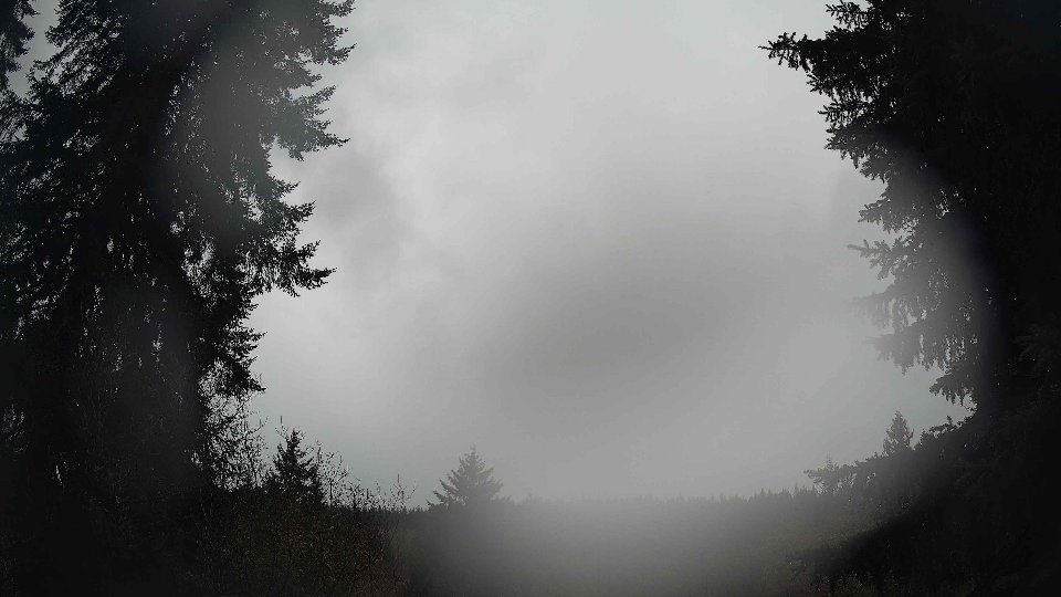
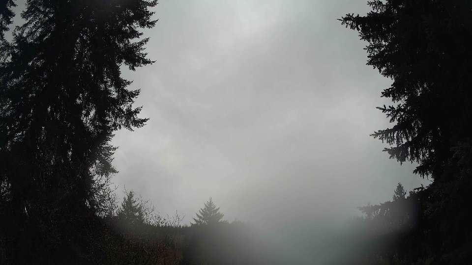
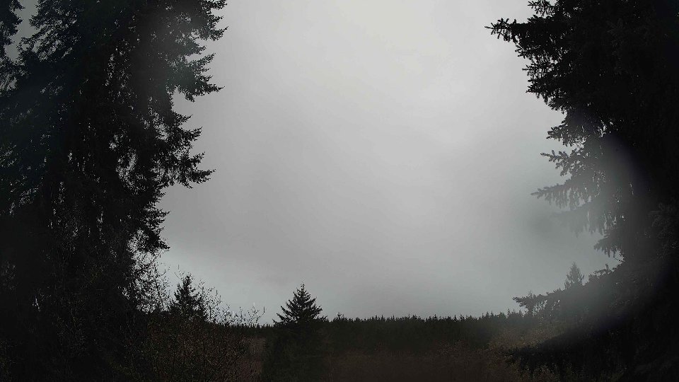
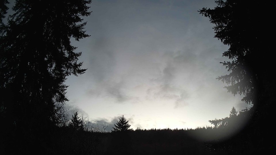
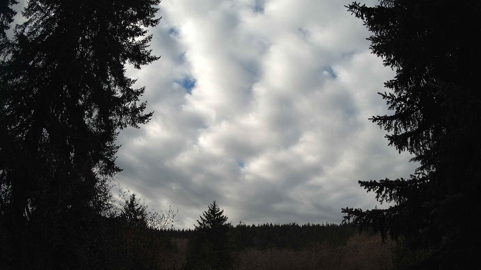
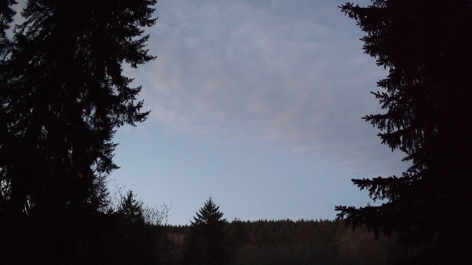
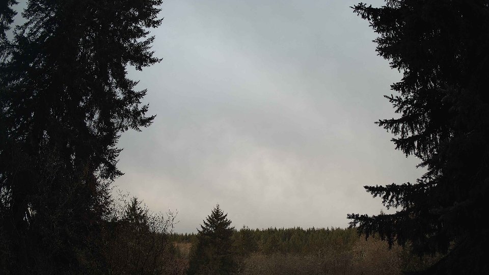
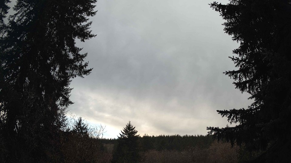
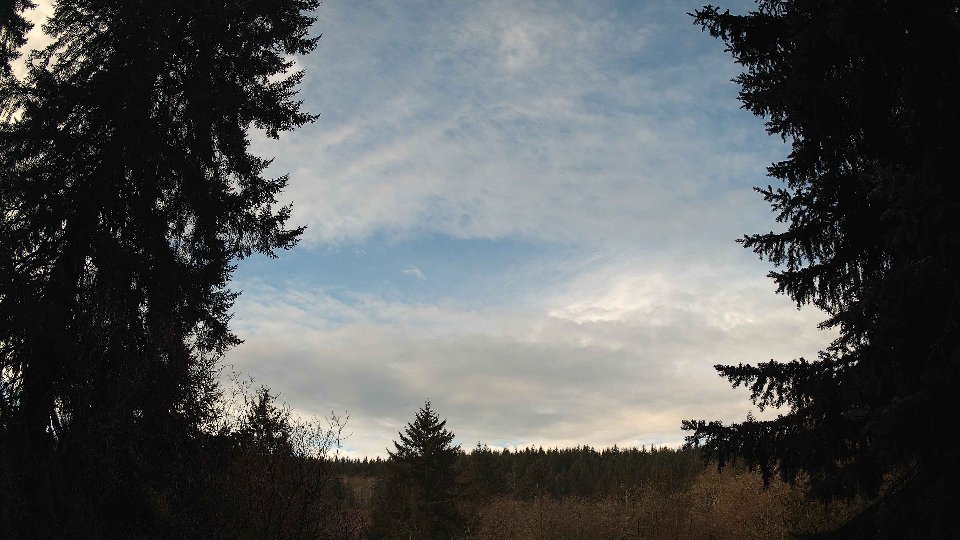
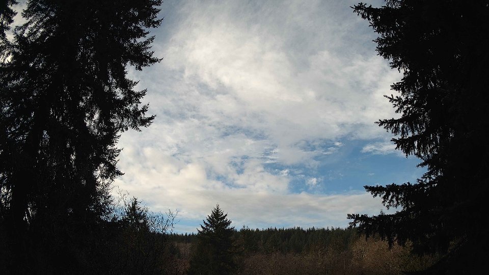
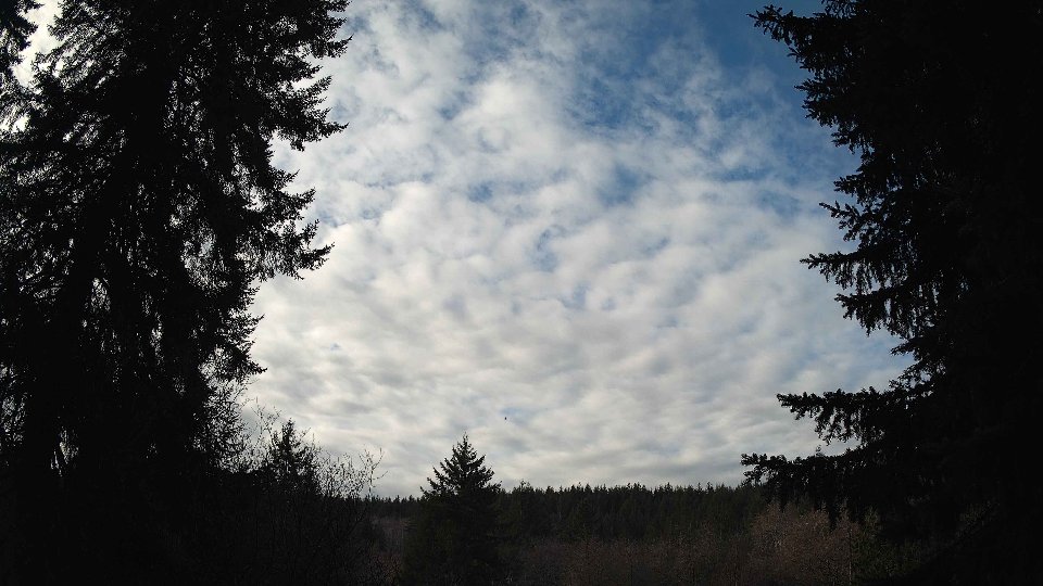
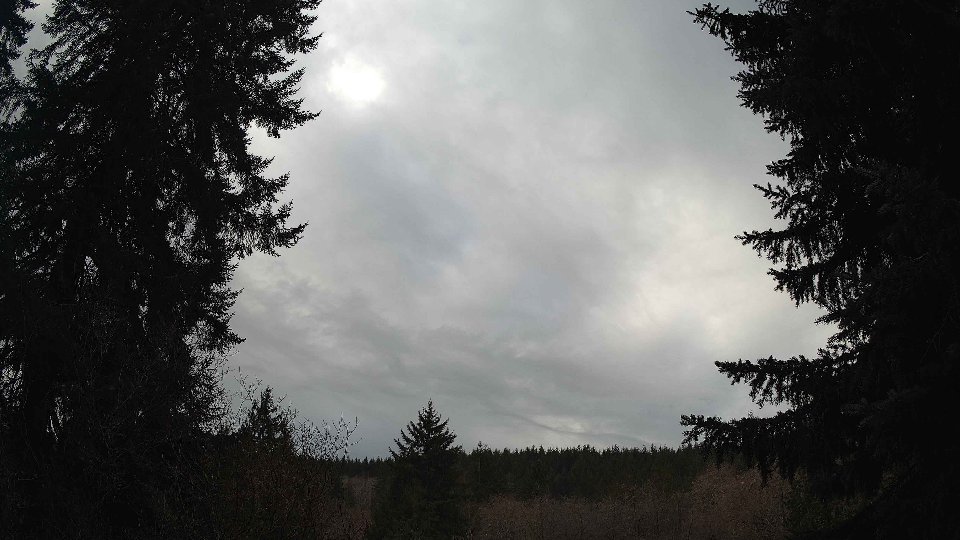
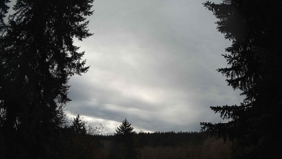
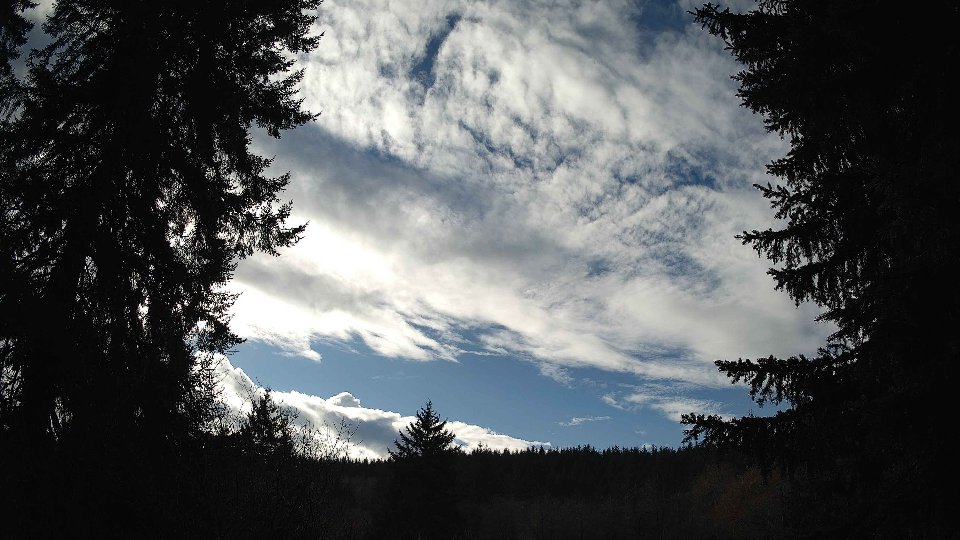
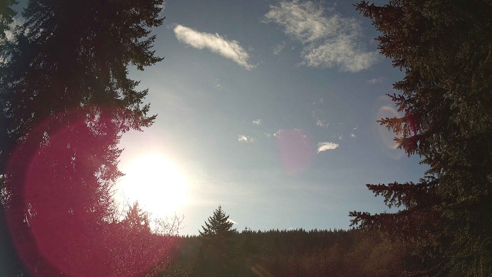
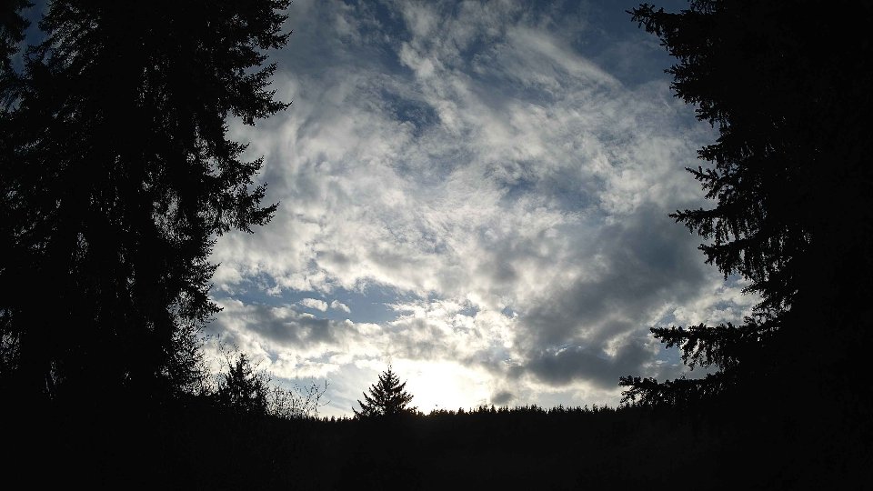
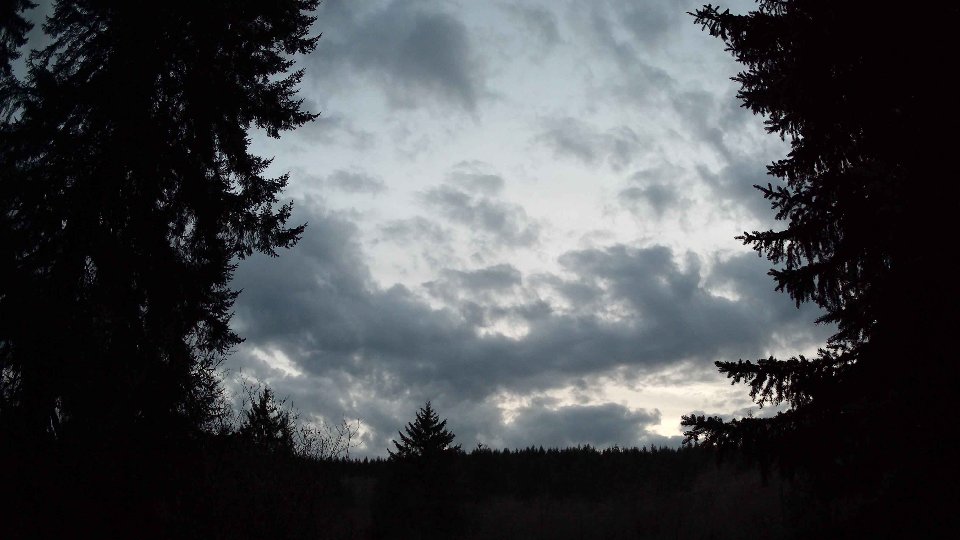
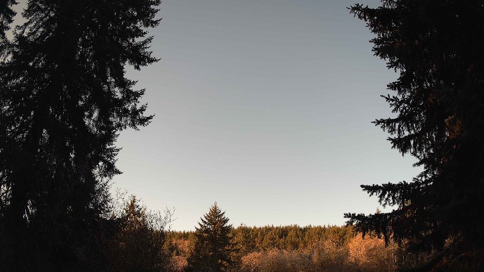
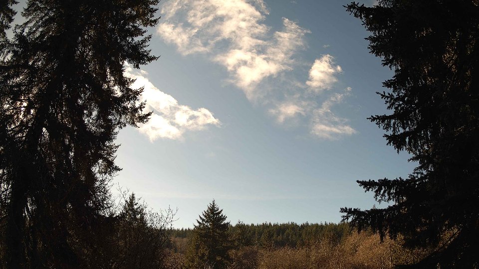
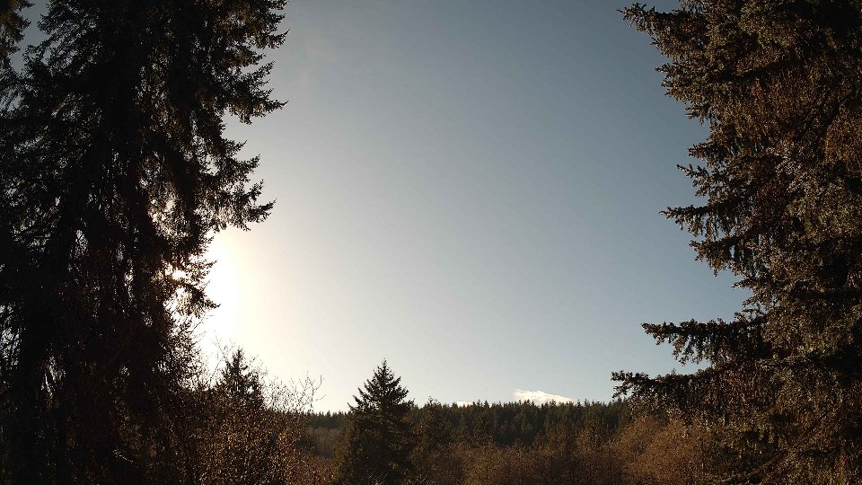
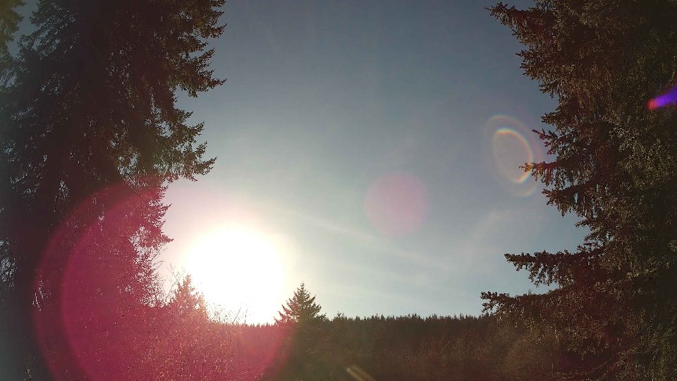
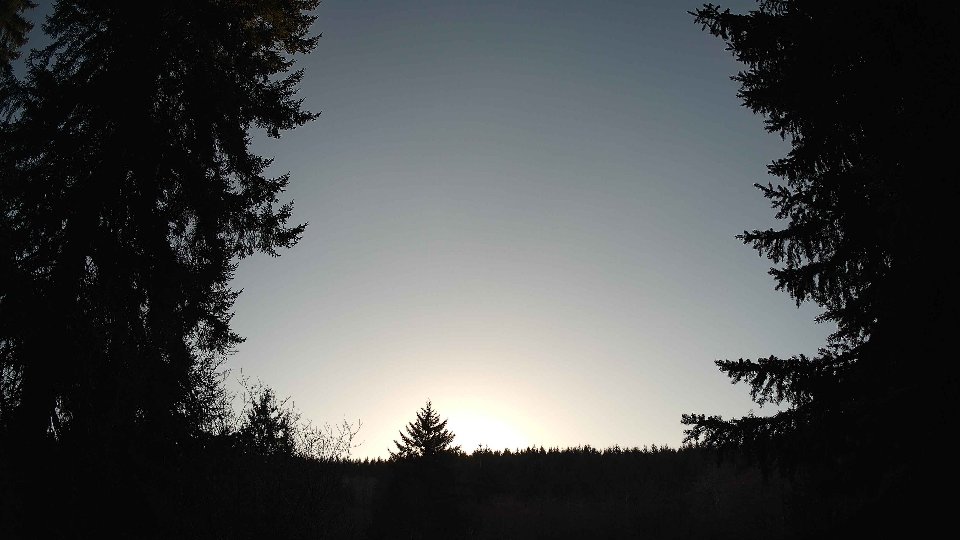
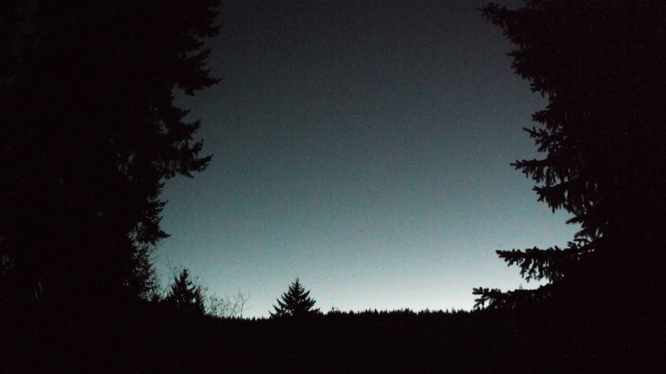
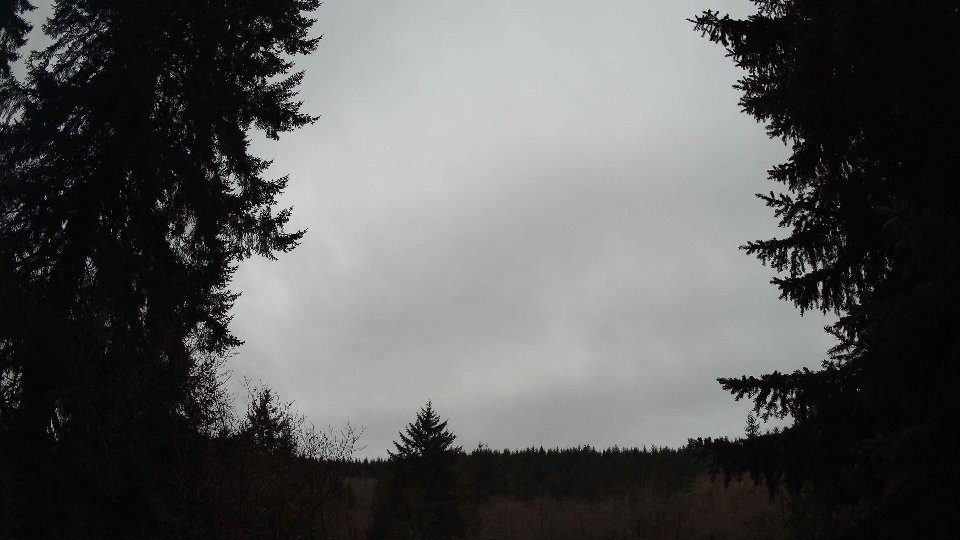
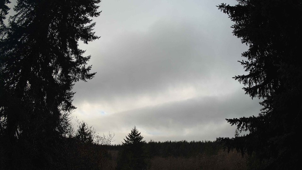
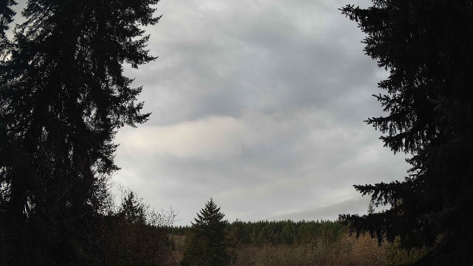
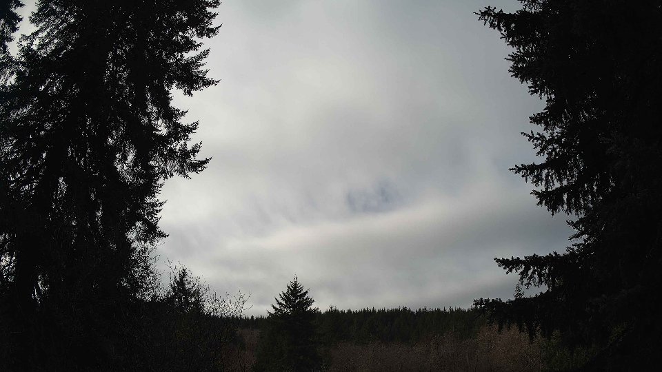
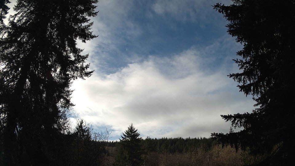
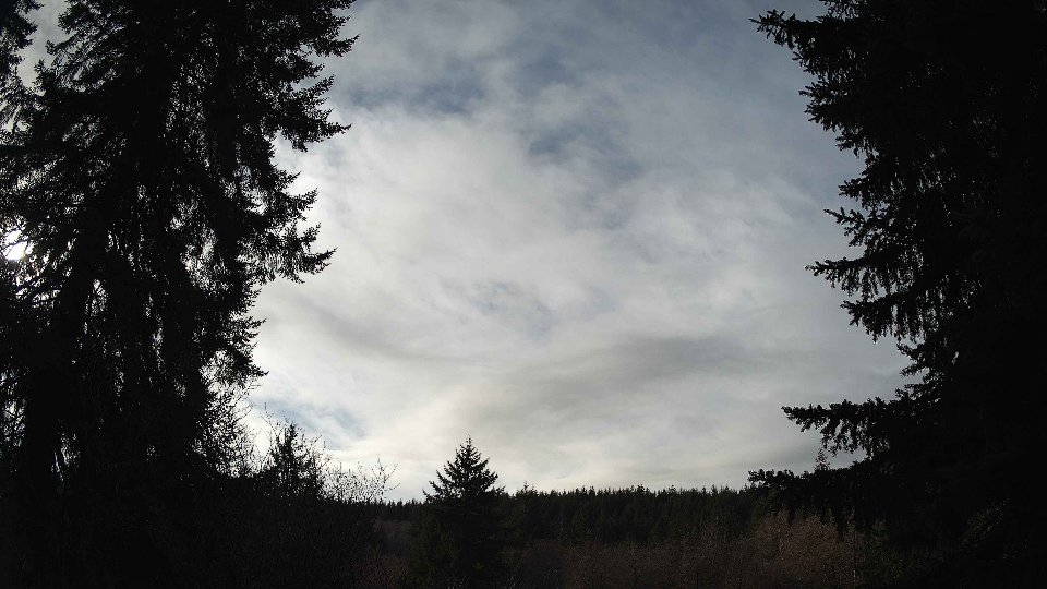
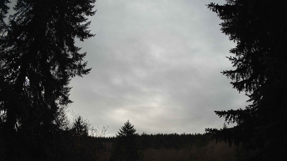
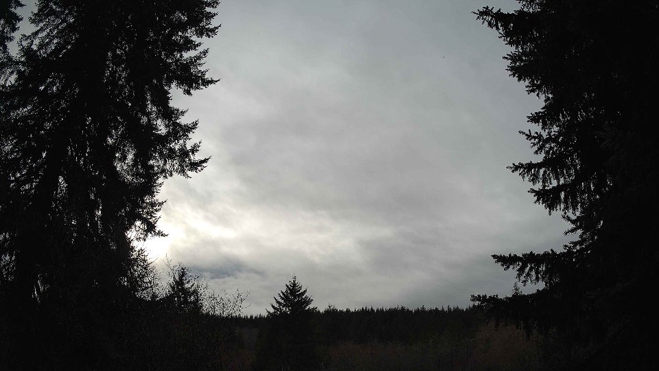
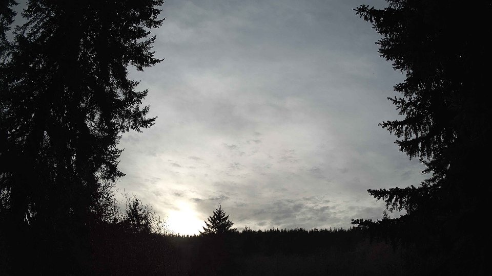
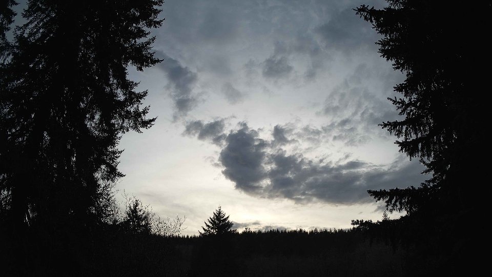
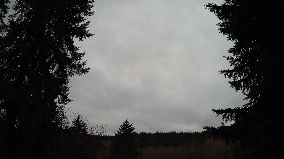
As the day progressed into midday, the weather began to evolve notably. The temperature rose to a more comfortable average of 45.4°F, and surface winds picked up slightly to 3.2 mph, while winds at 100 meters decreased to 5.5 mph. The cloud cover also changed, dropping to an average of 72.5%, with low clouds virtually absent and high clouds increasing to 71.8%. The shift in wind patterns contributed to a dynamic sky, where the high clouds moved swiftly across the horizon, creating a shimmering effect that danced against the lighter atmosphere below. The notable change in wind speeds and directions across different altitudes continued to create turbulence, adding texture to the clouds, which appeared to scatter in varying formations.
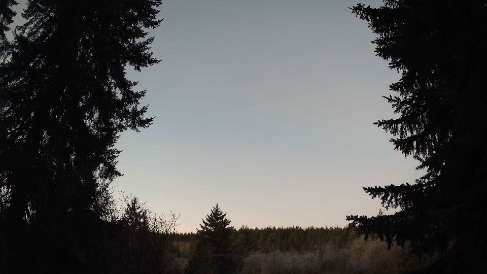
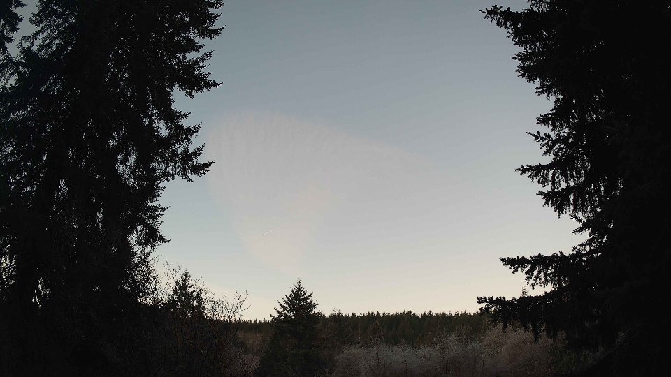
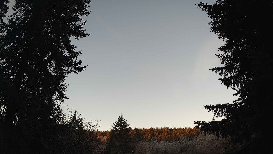
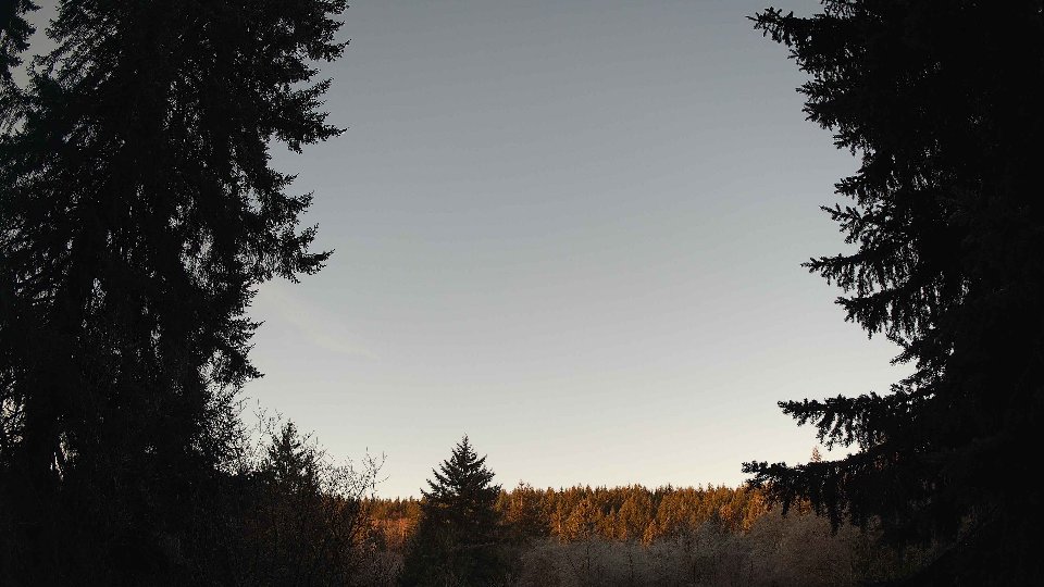
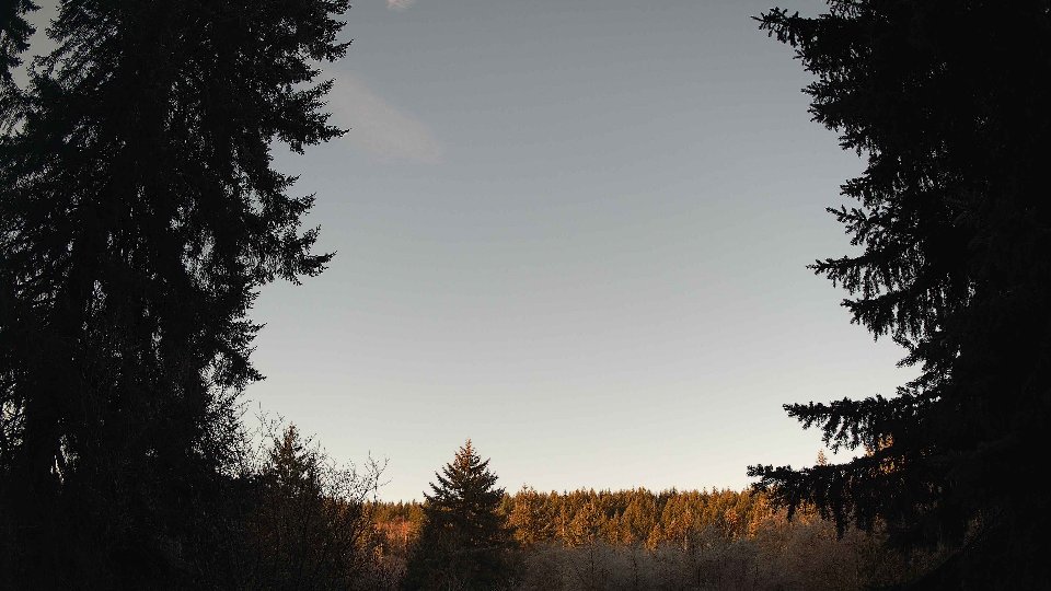
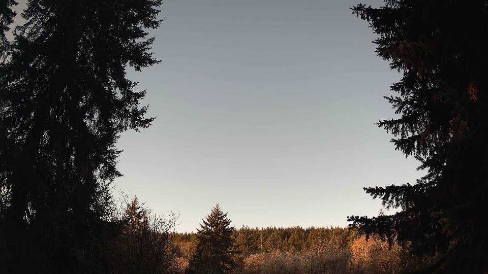
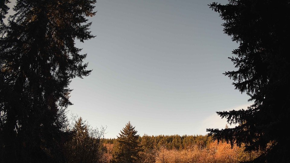
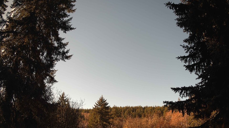
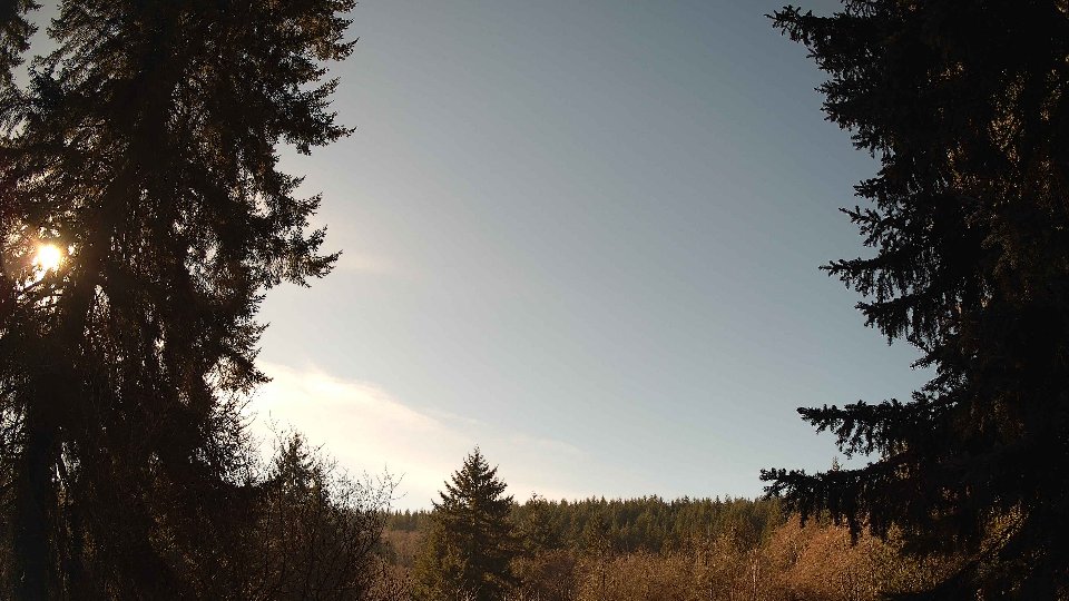
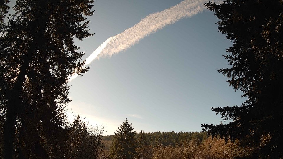
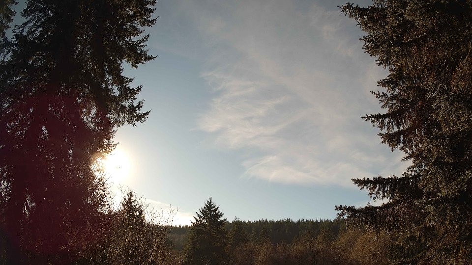
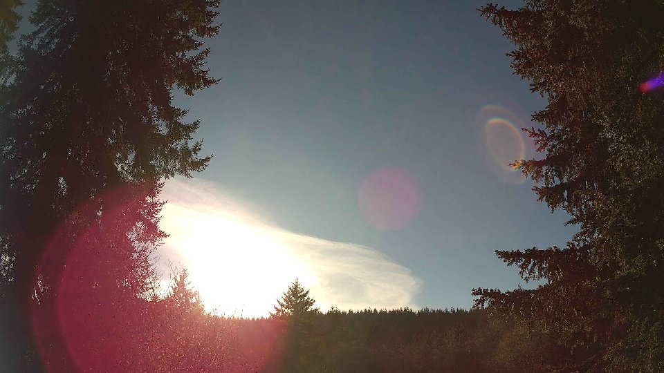
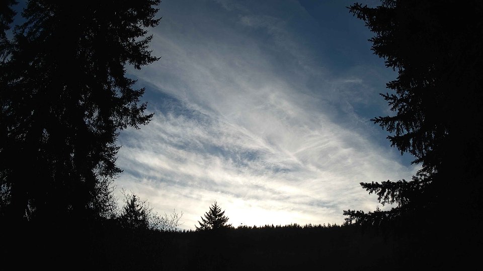
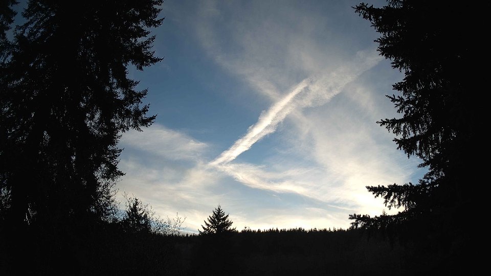
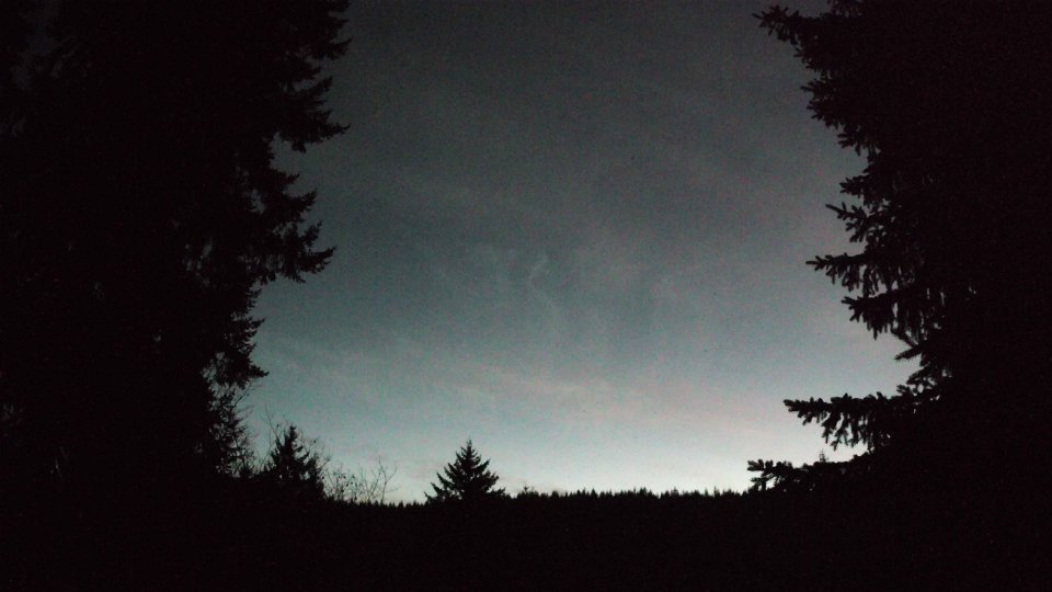
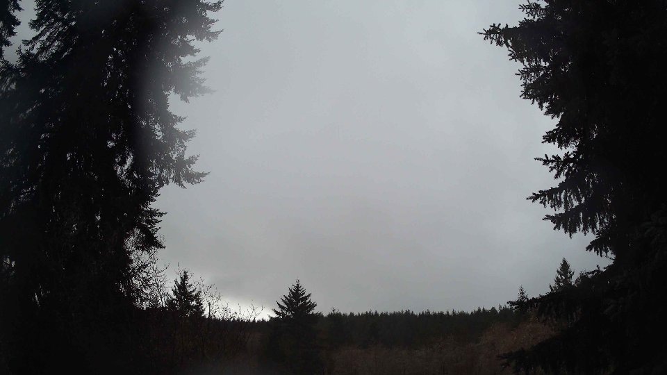
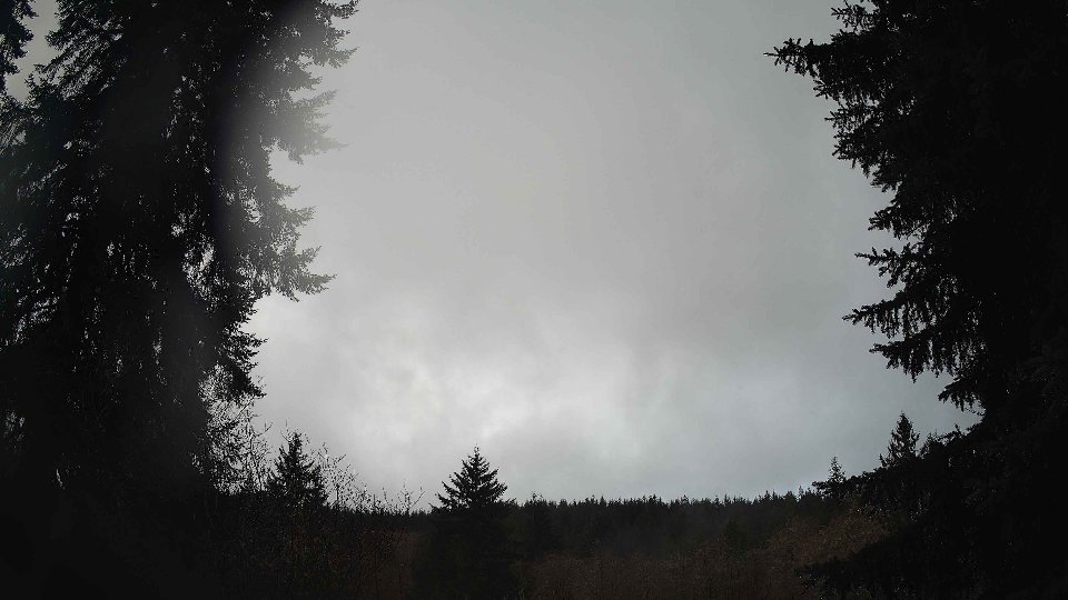
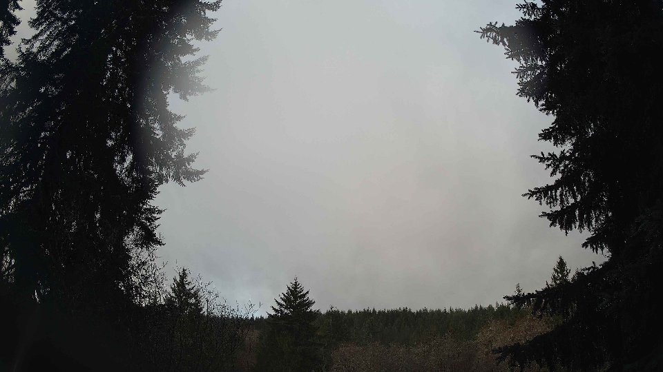
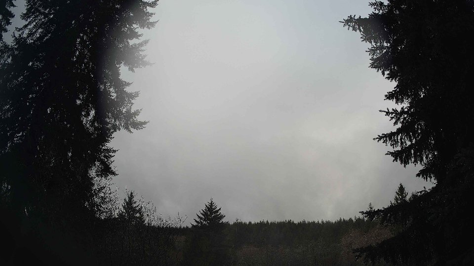
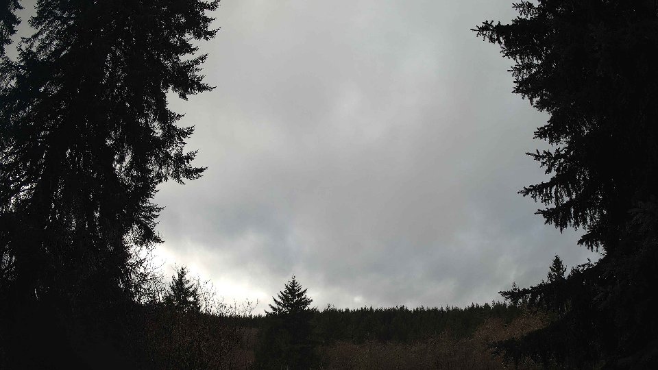
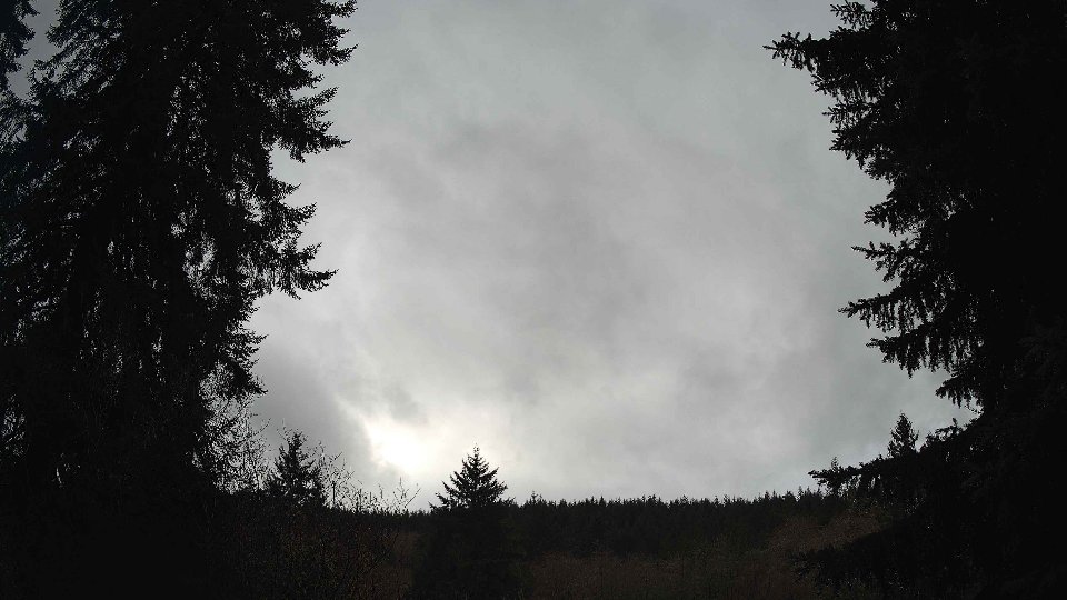
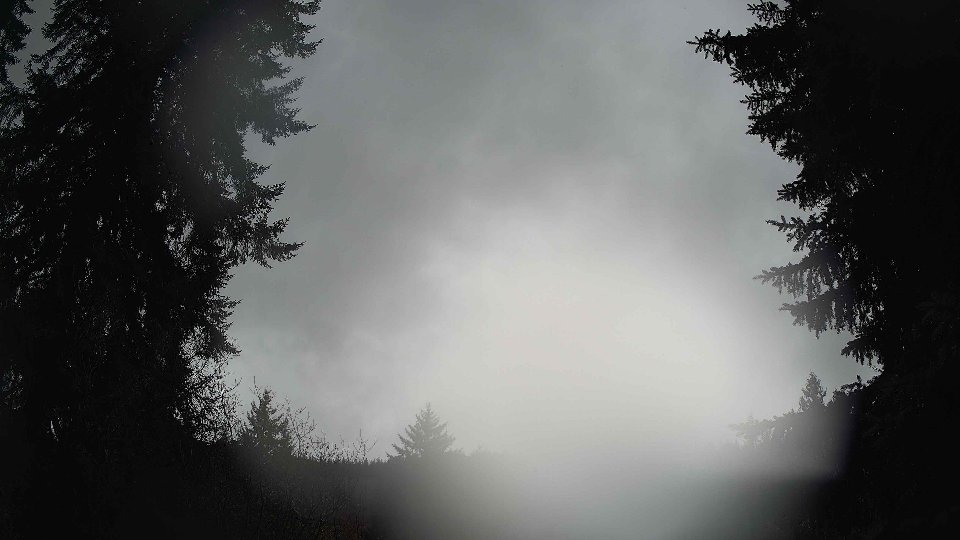
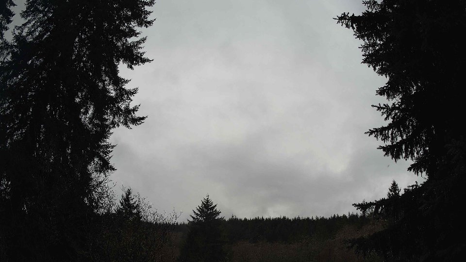
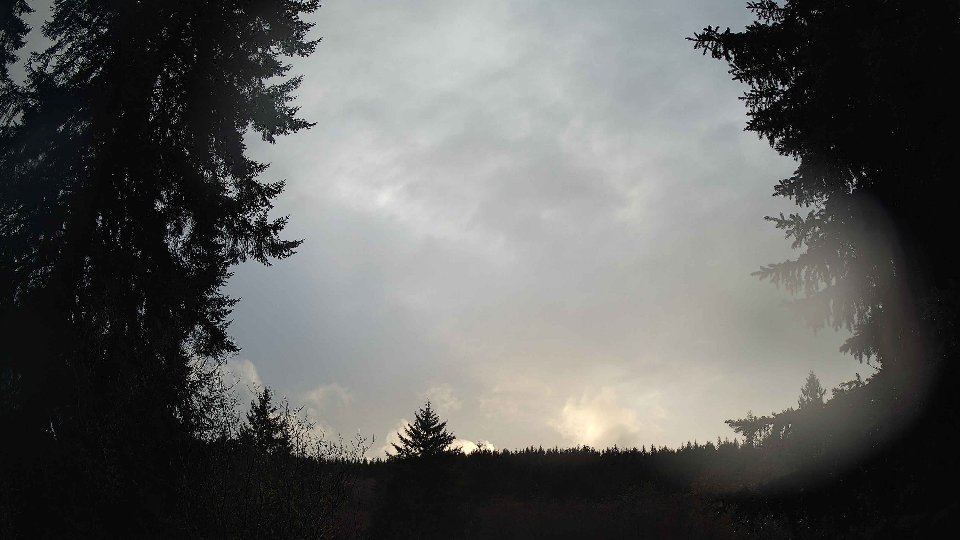
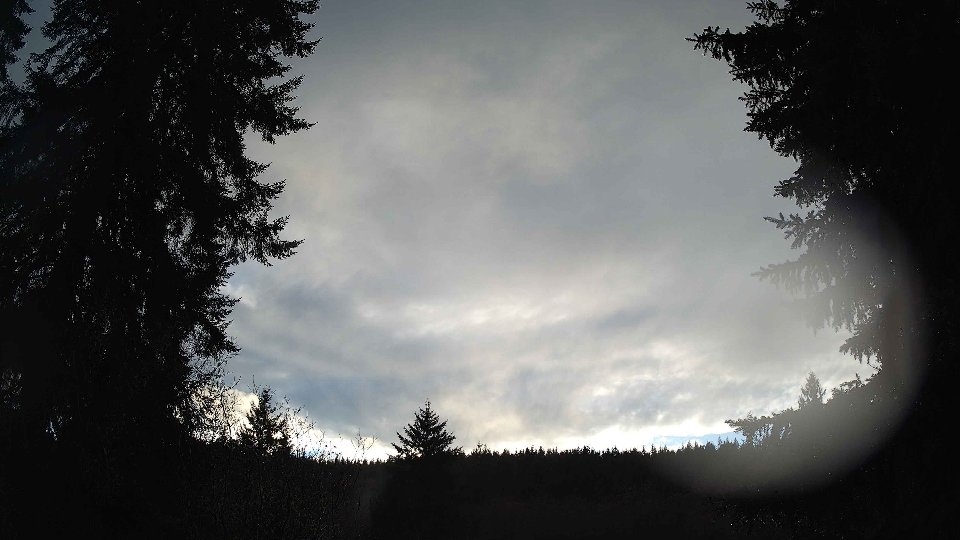
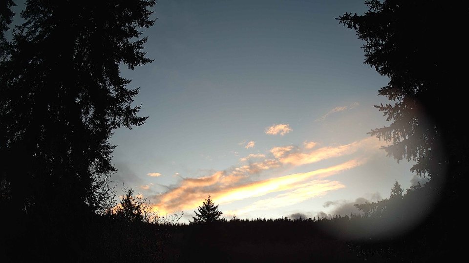
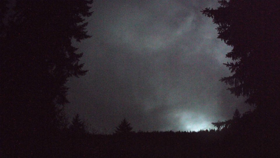
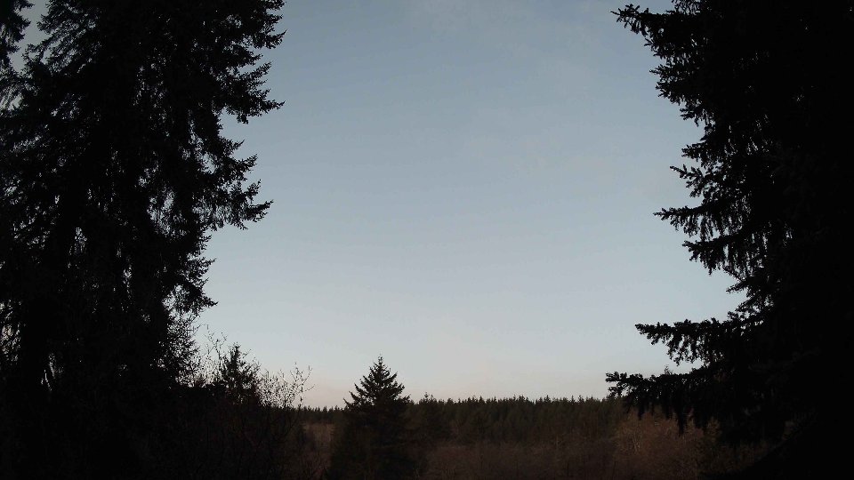
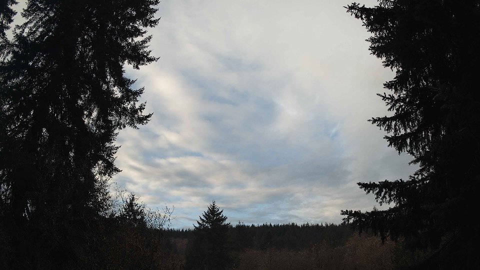
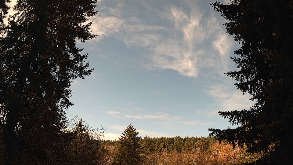
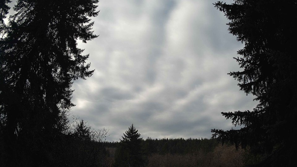
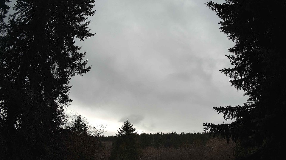
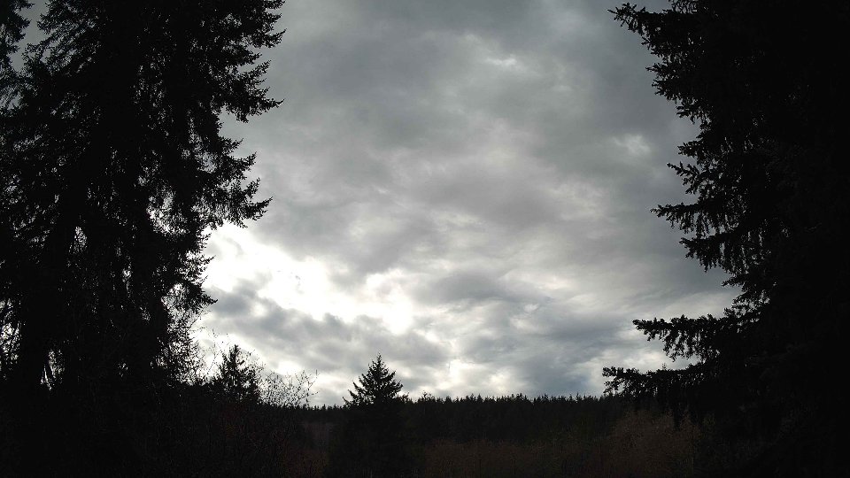
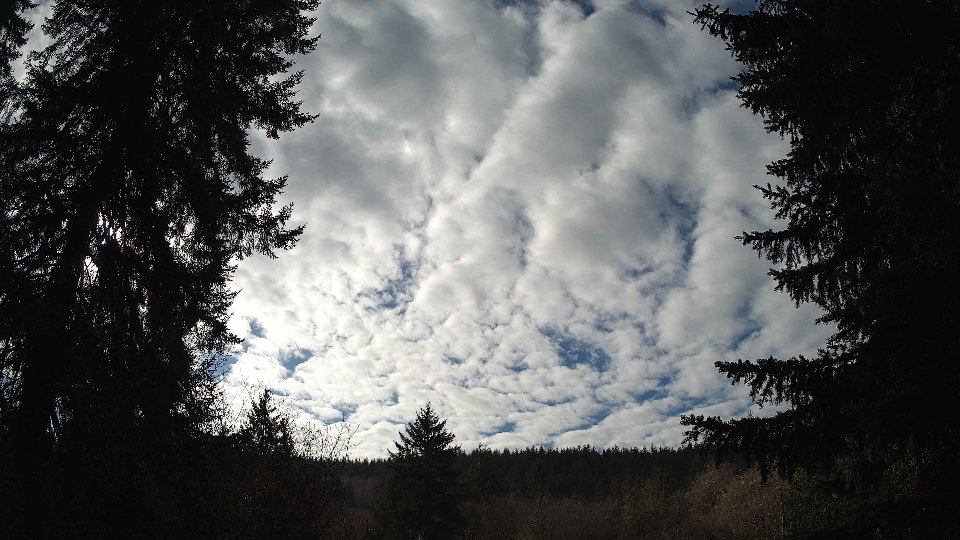
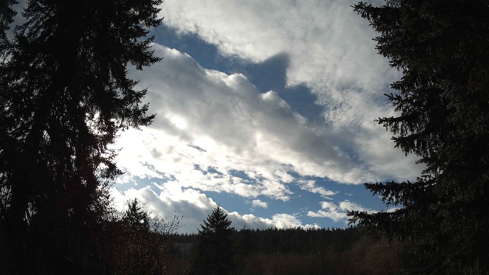
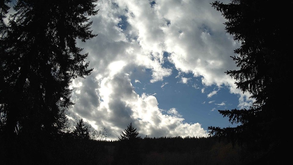
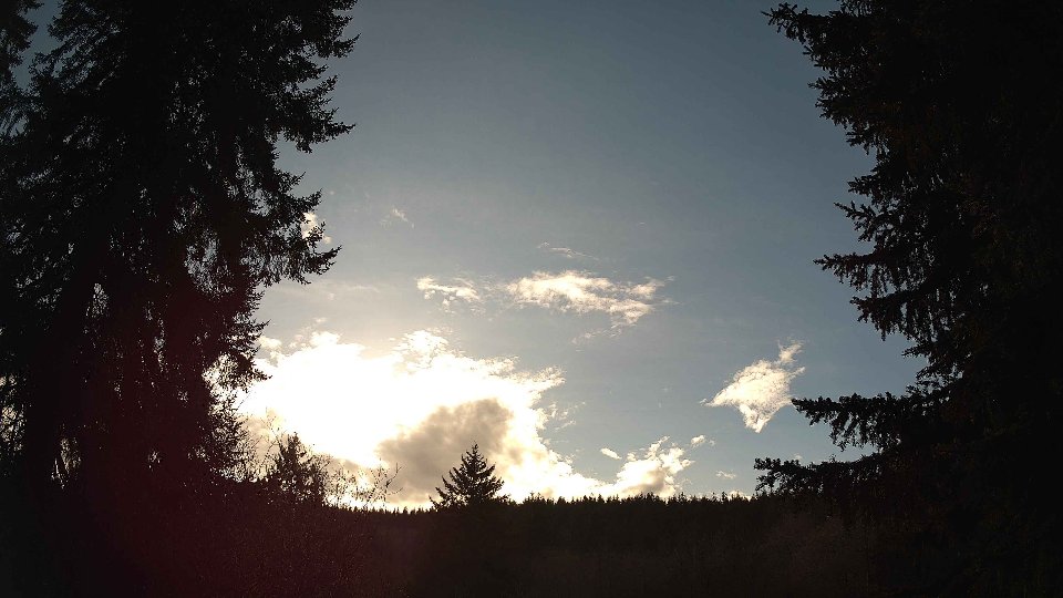
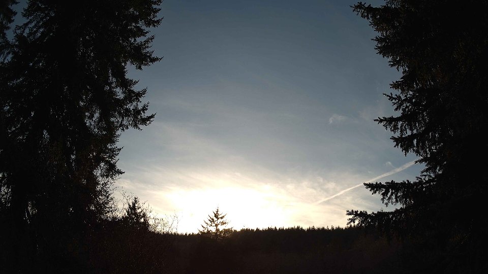
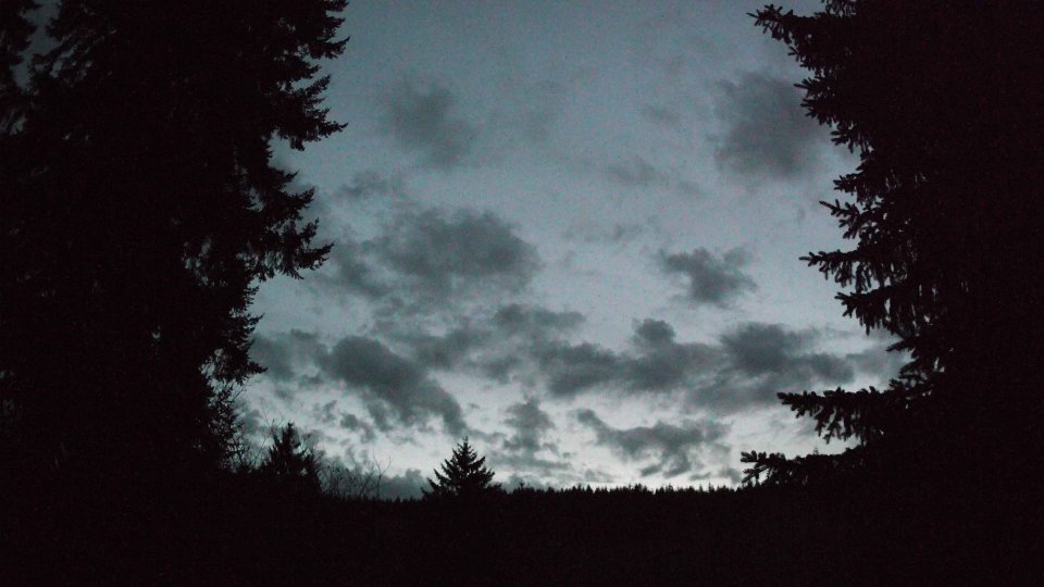
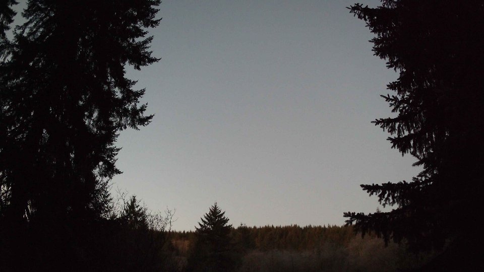
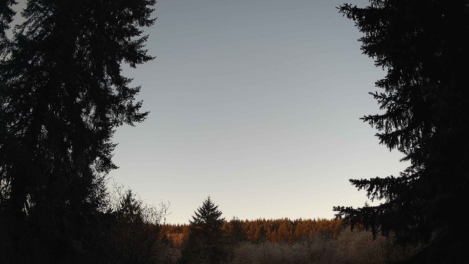
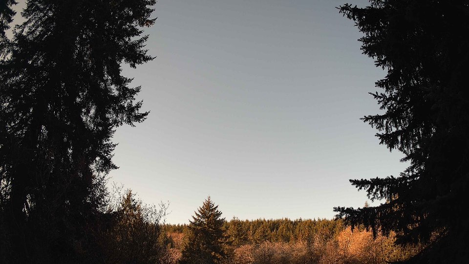
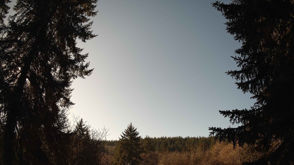
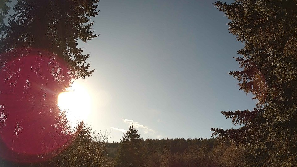
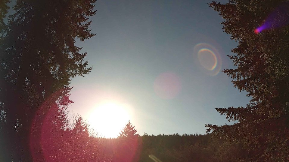
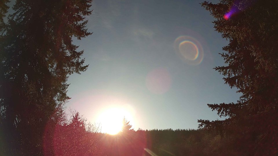
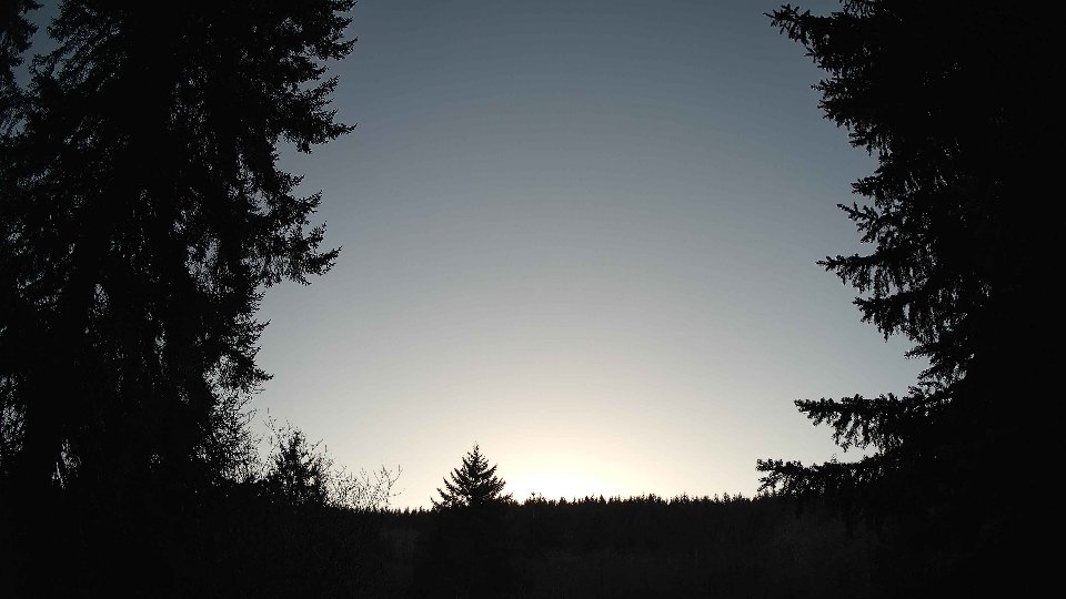
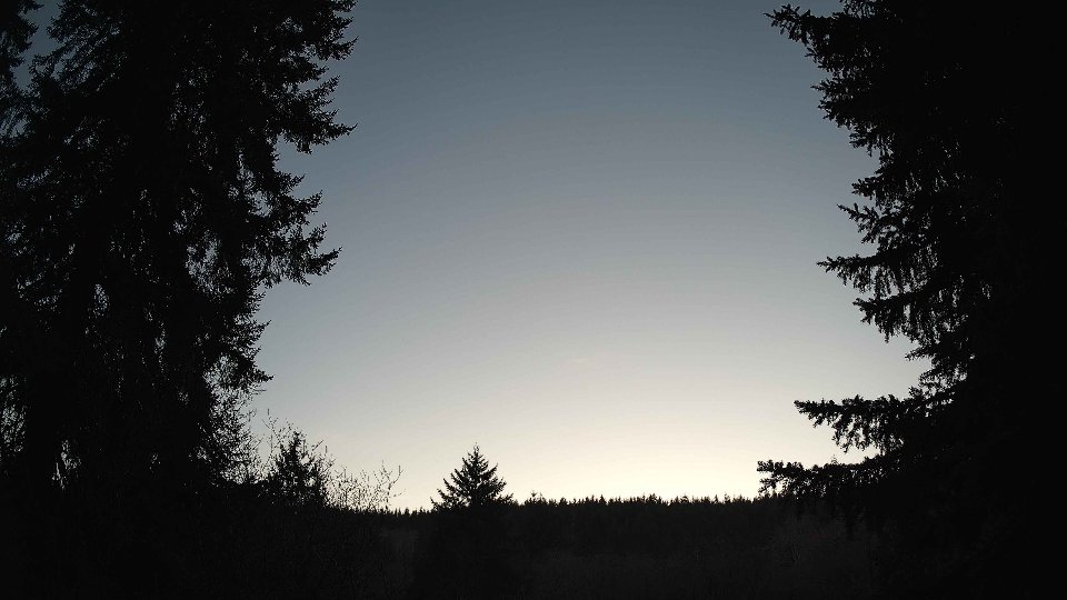
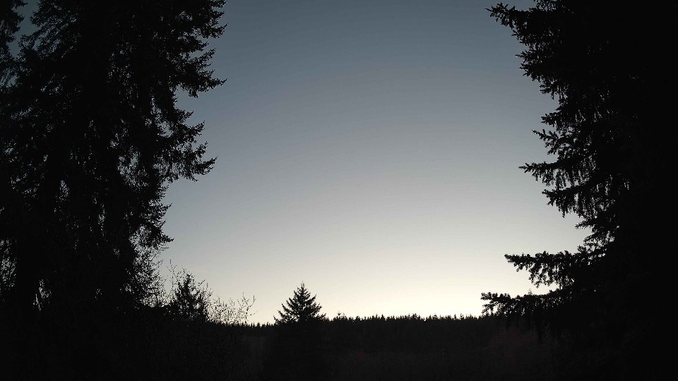
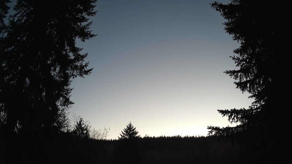
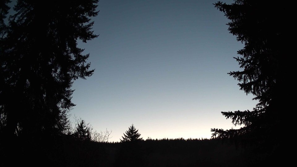
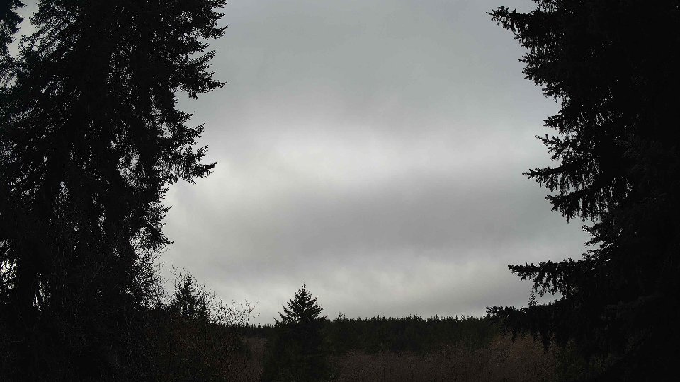
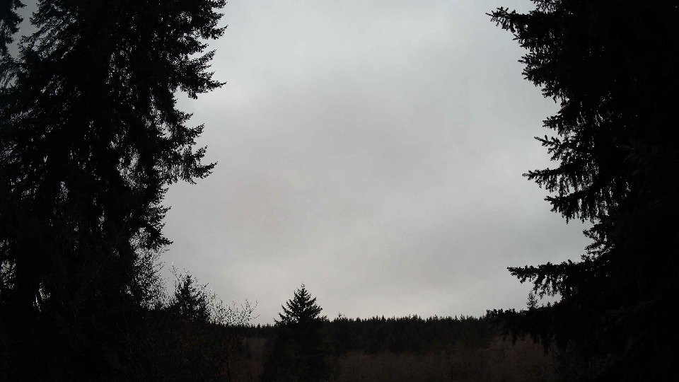
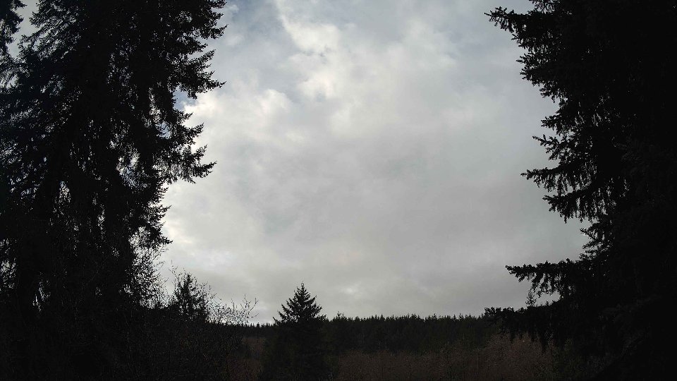
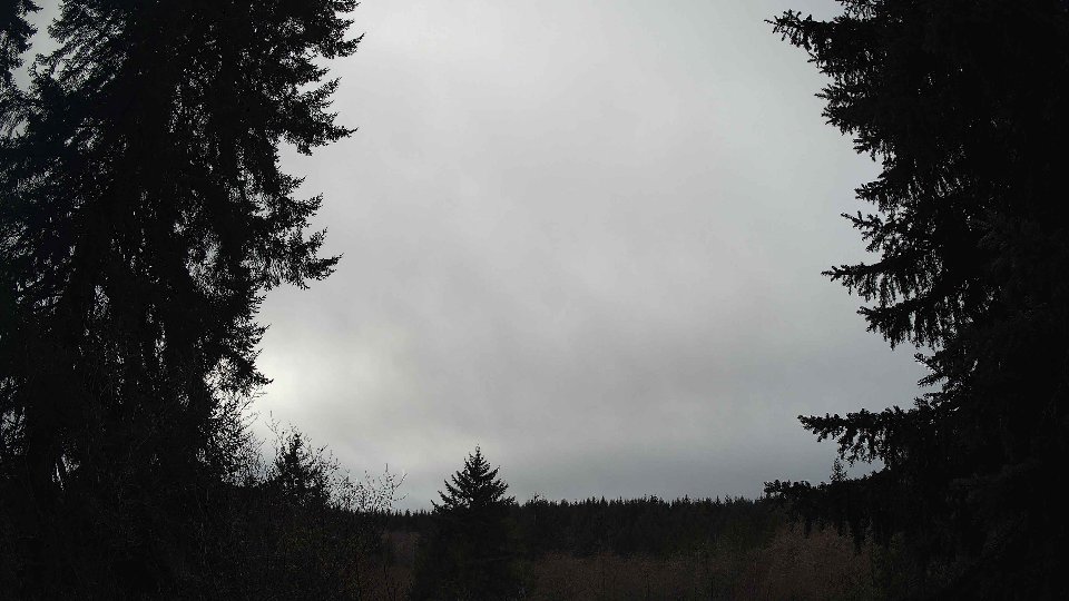
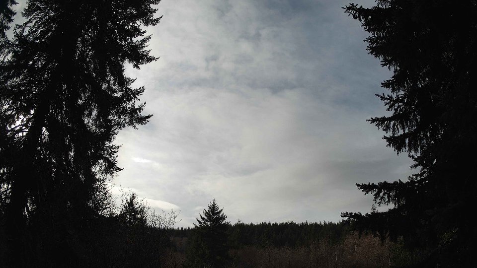
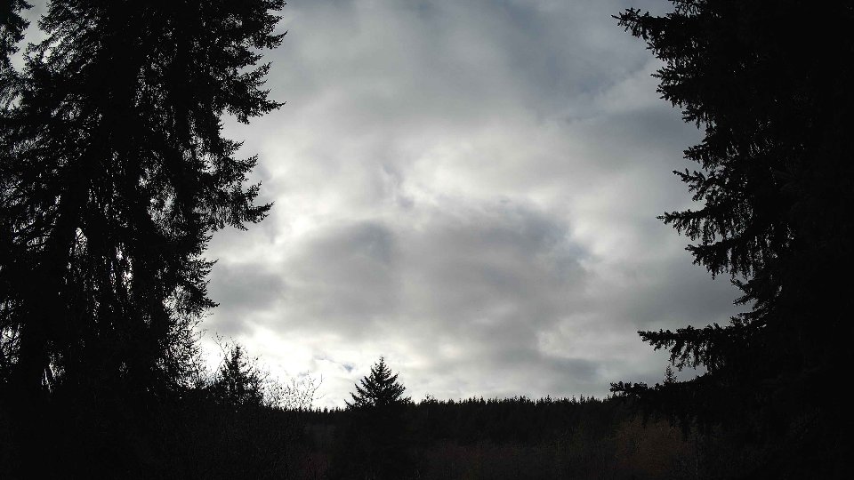
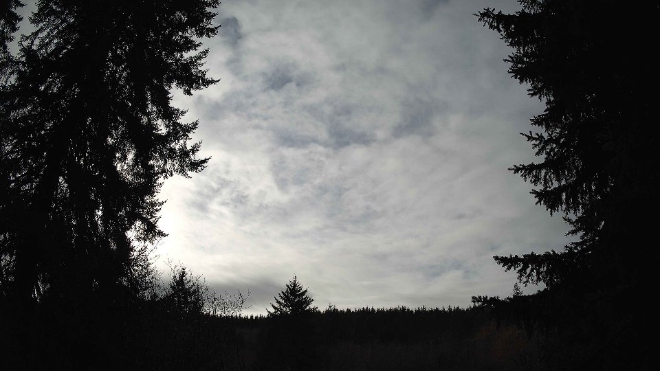
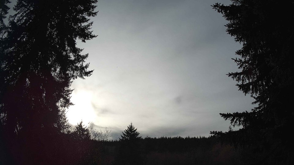
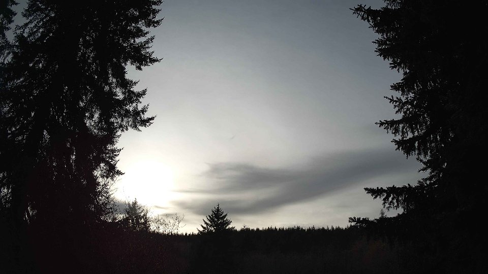
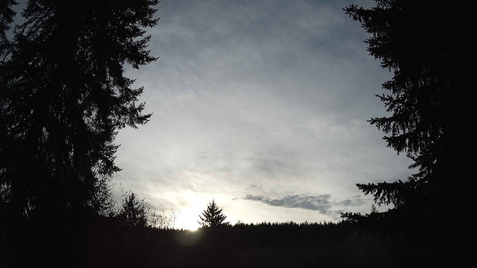
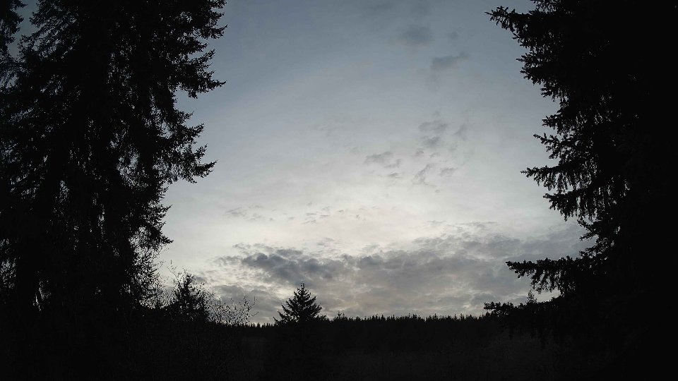
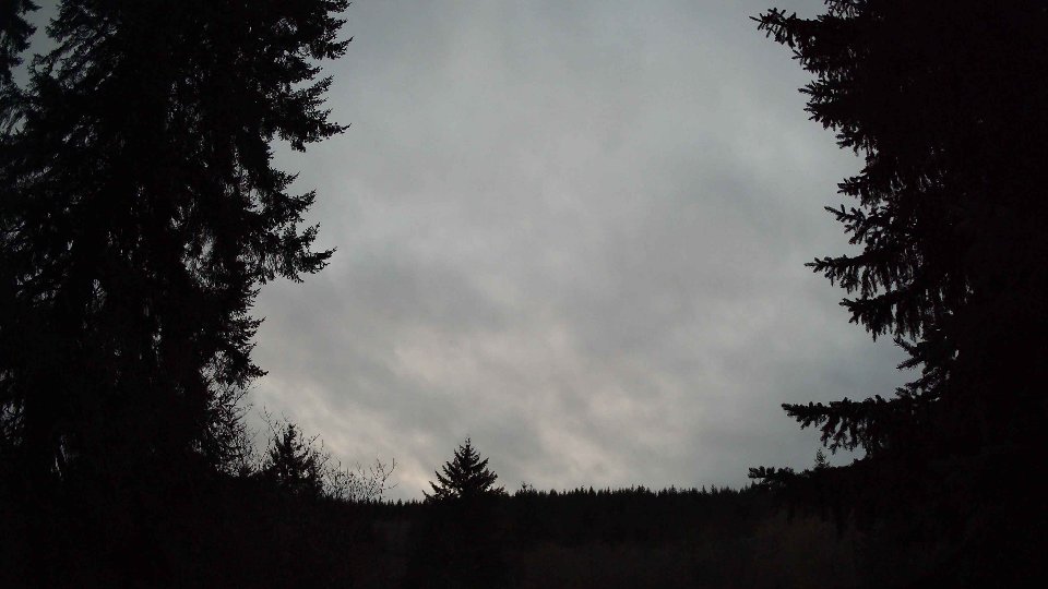
By evening, the conditions transitioned once again, with temperatures cooling slightly to 42.7°F. Surface winds averaged 4.3 mph, while winds at 100 meters strengthened to 9.9 mph. The cloud cover reduced further to 63%, with high clouds remaining the only significant presence in the sky. This evening brought a calming effect as the winds aloft continued to push the high clouds along, leading to a clearer expanse above while maintaining a sense of depth in the sky. The overall wind shear observed throughout the day, due to the continued conflict between surface winds and those aloft, created a gentle turbulence that offered a soft, layered appearance to the clouds. The evolving conditions throughout the day highlighted the intricate relationship between temperature, wind, and cloud dynamics, providing a unique glimpse into the complexities of winter weather in the Northwest.
January 20th, 2026 Timeline
Screenshots with weather data (wind layers, clouds, precipitation)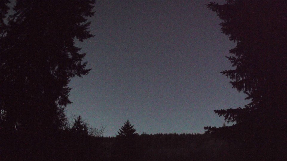


Weather Info for January 20th, 2026
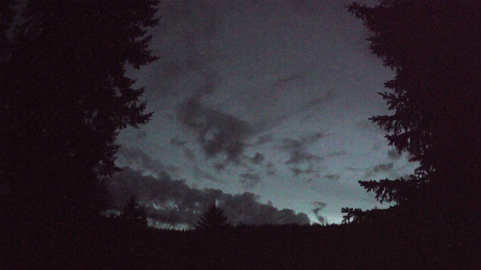
Sunset: 5:00 PM