January 5th, 2026 Timelapse
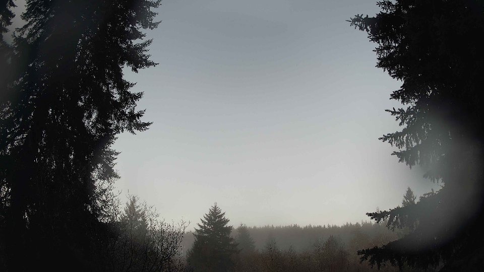
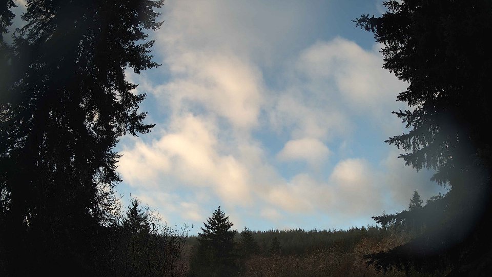
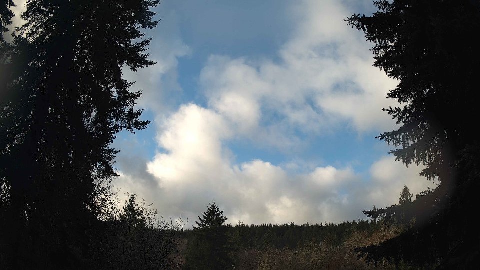
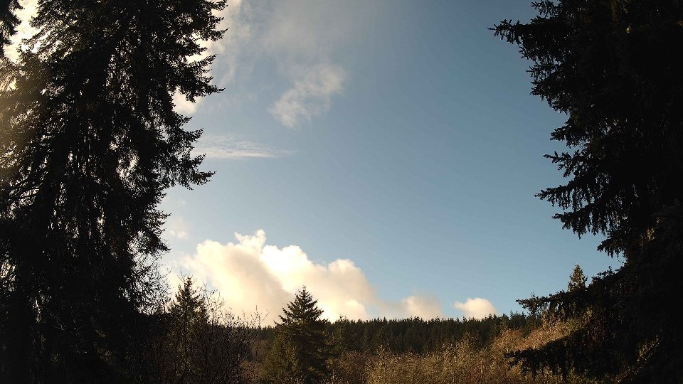
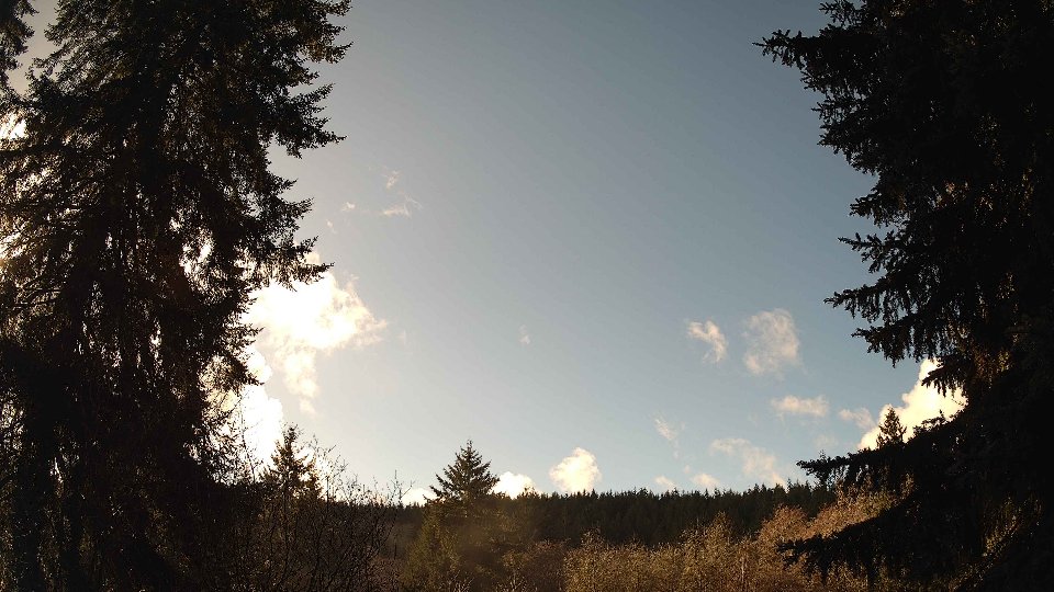
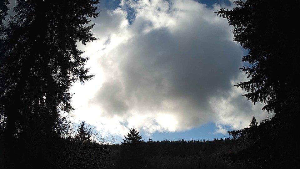
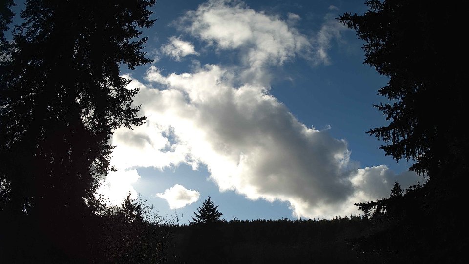
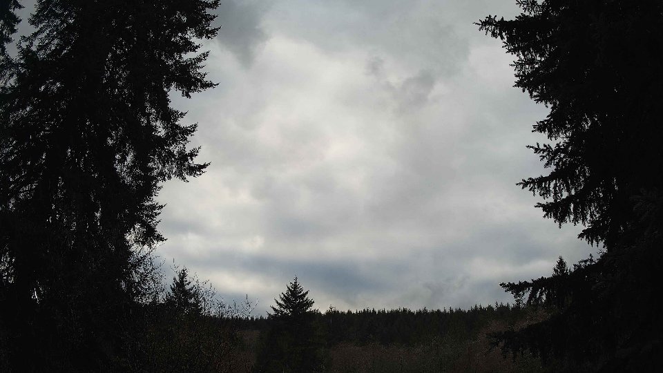
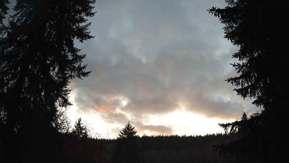
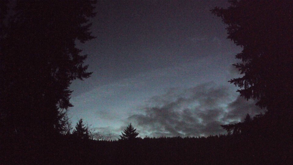
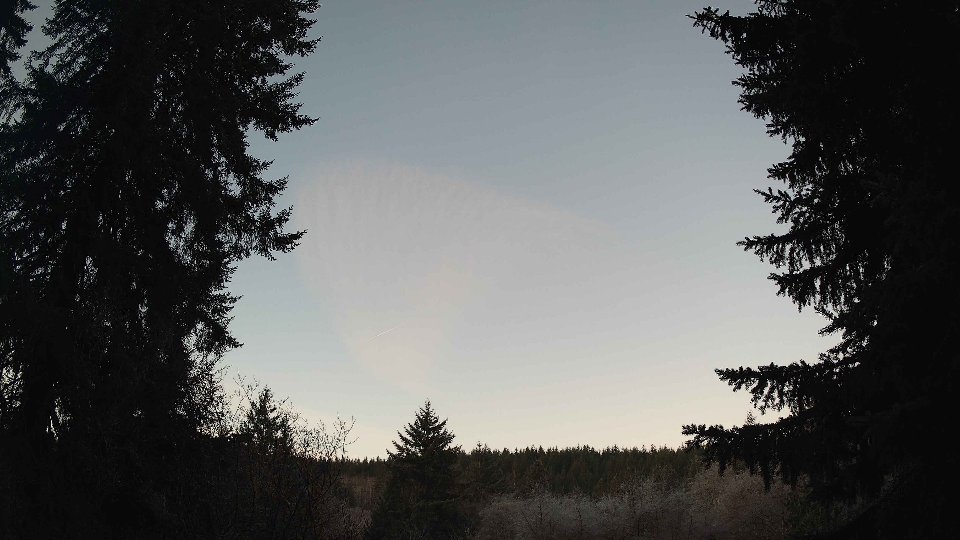
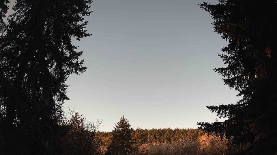
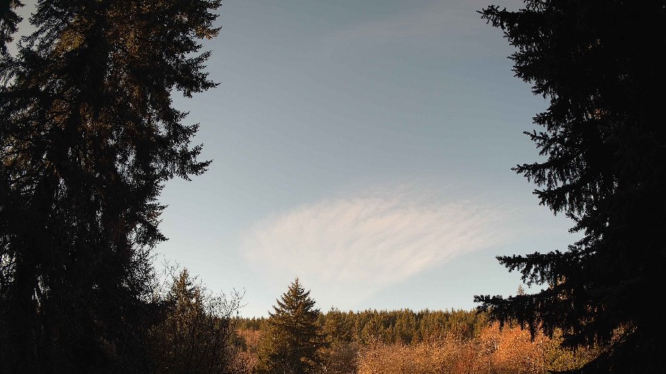
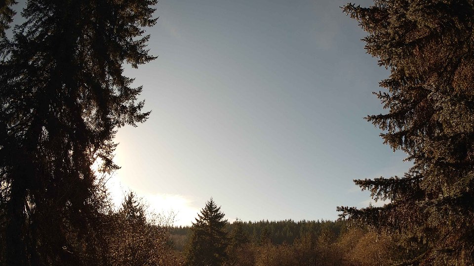
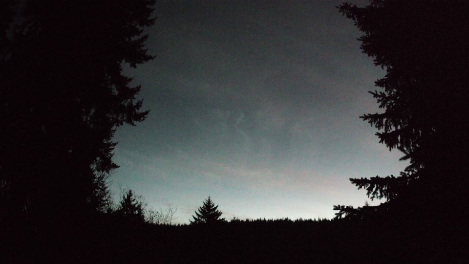
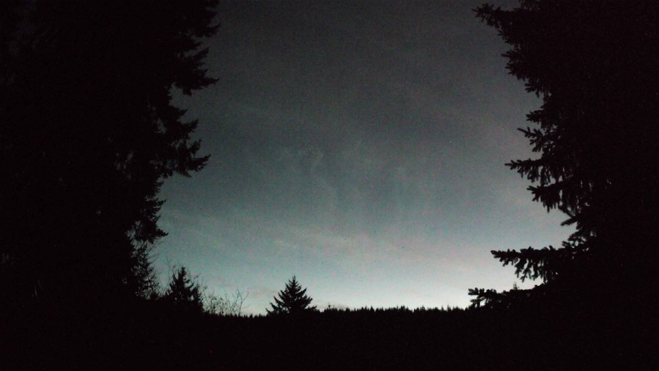
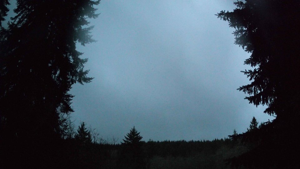
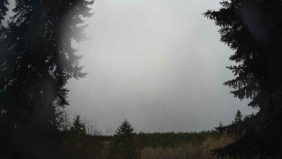
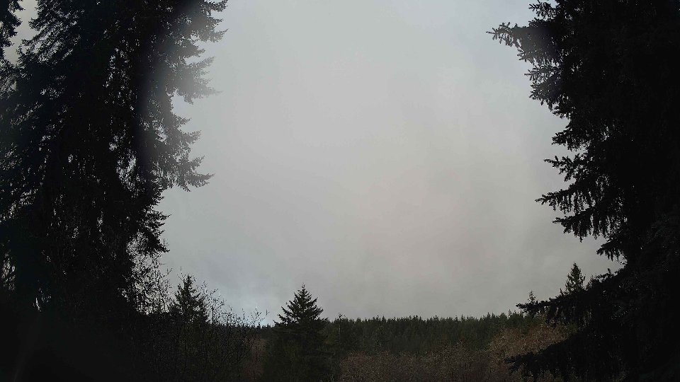
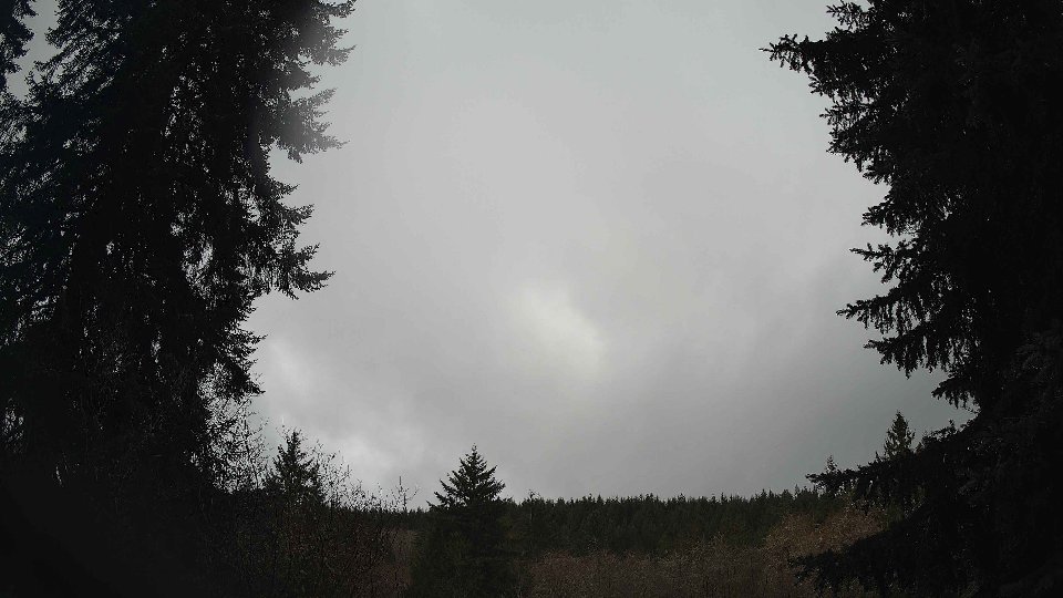
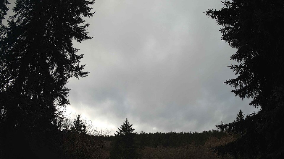
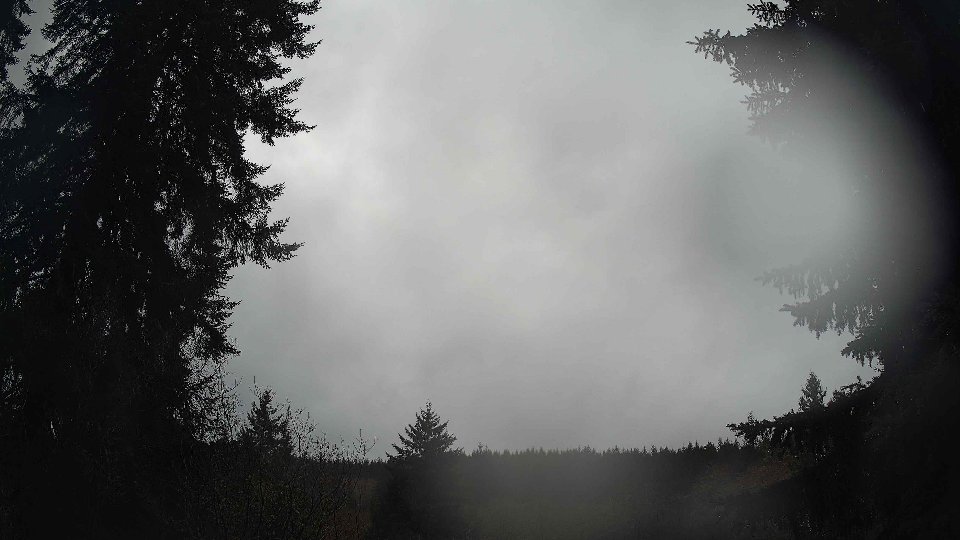
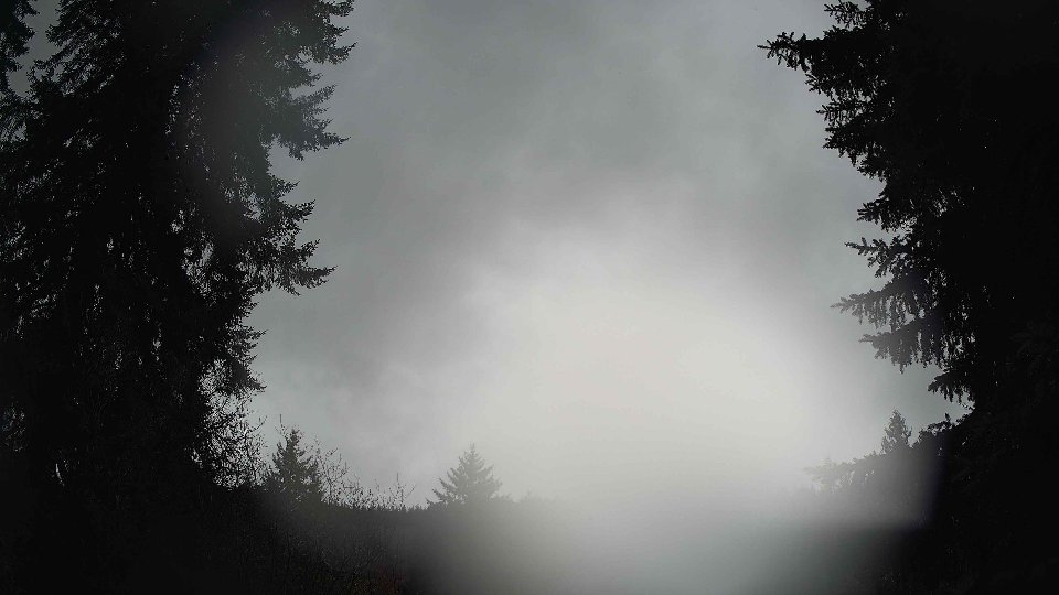
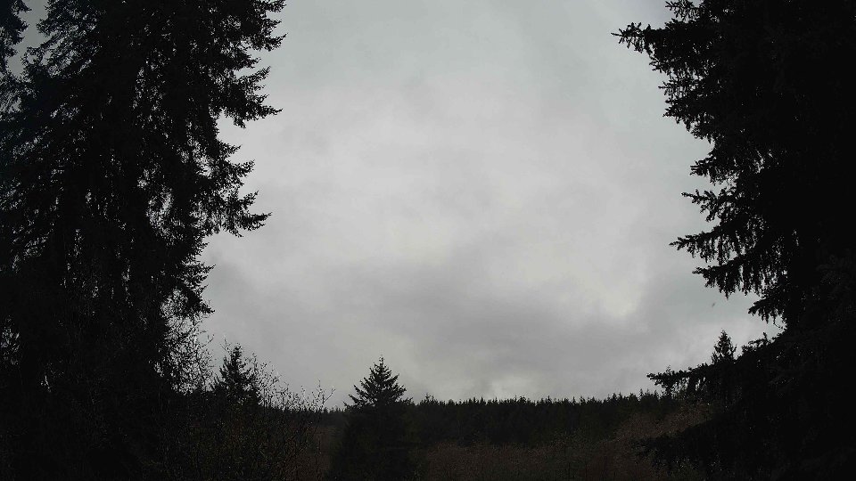
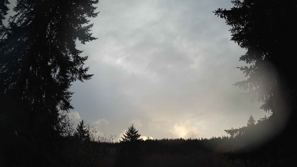
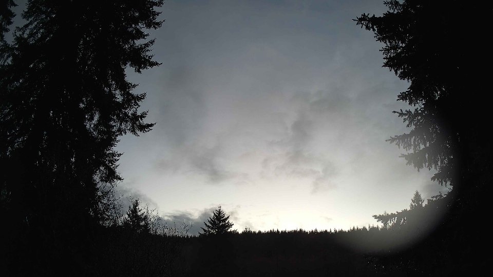
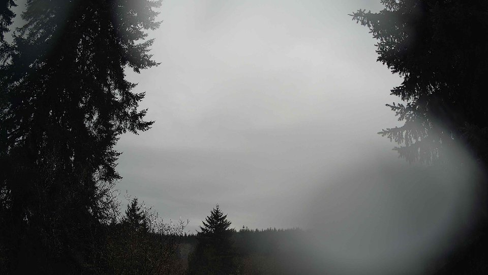
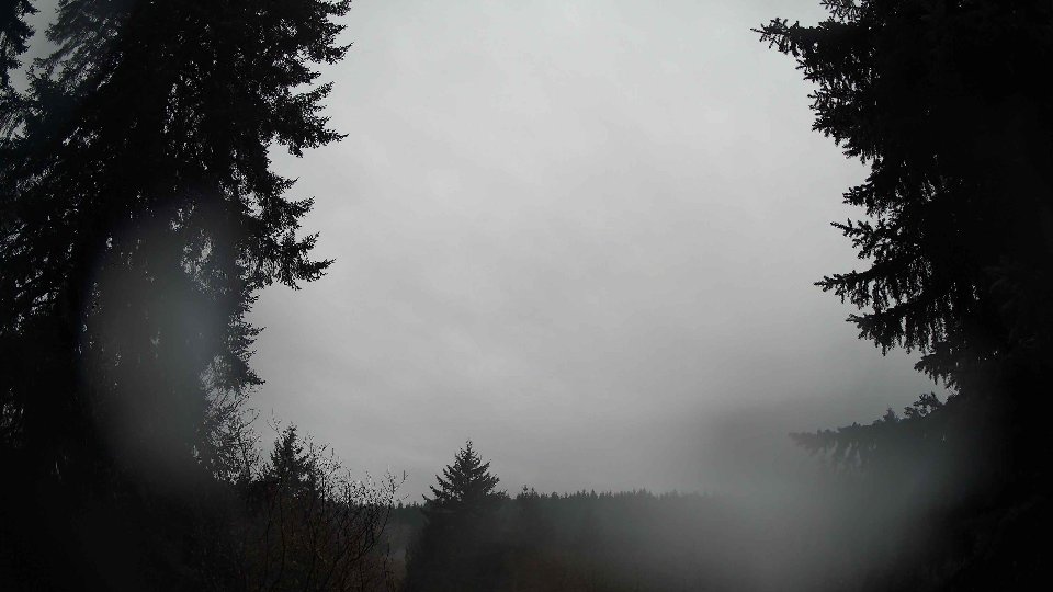
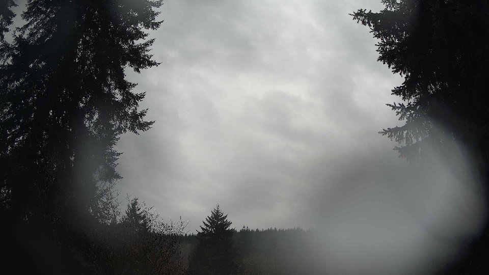
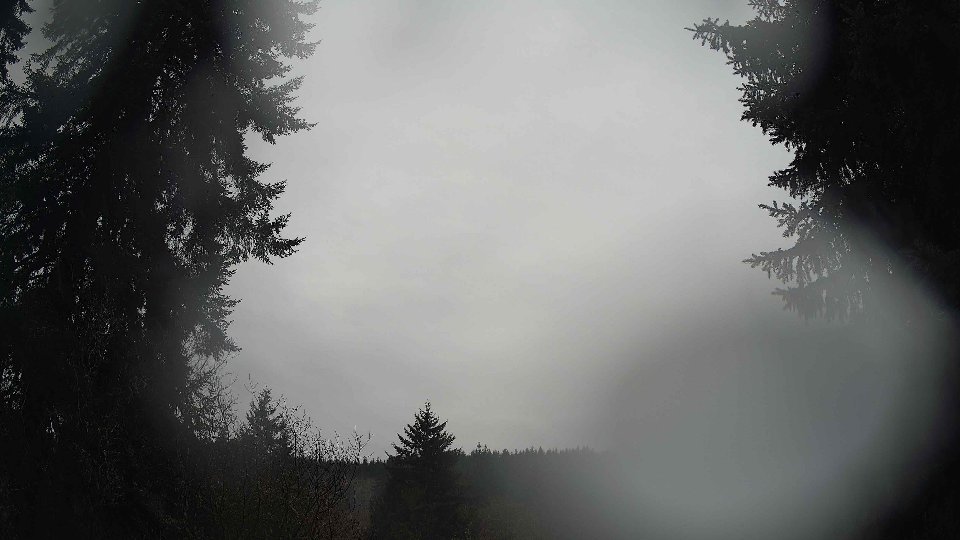
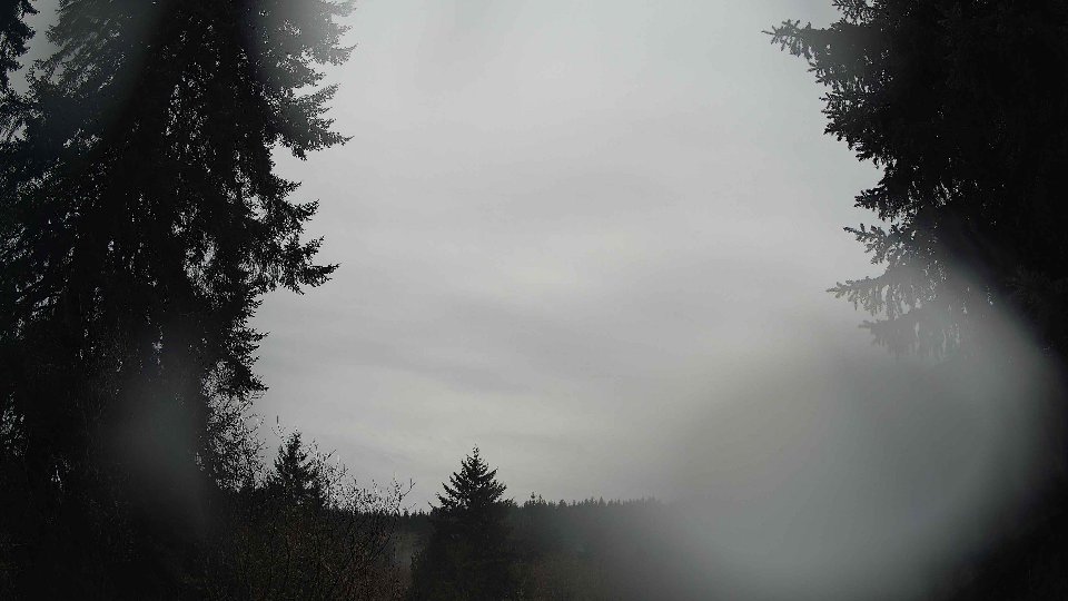
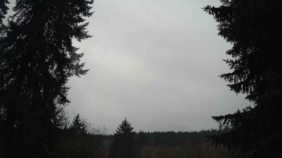
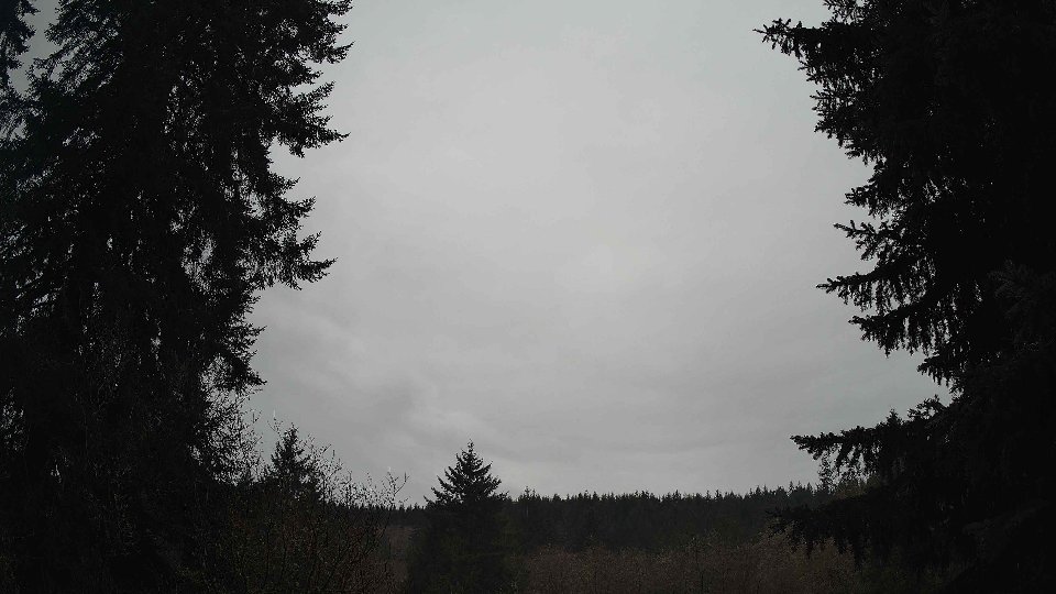
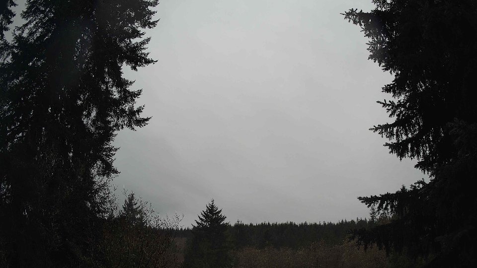
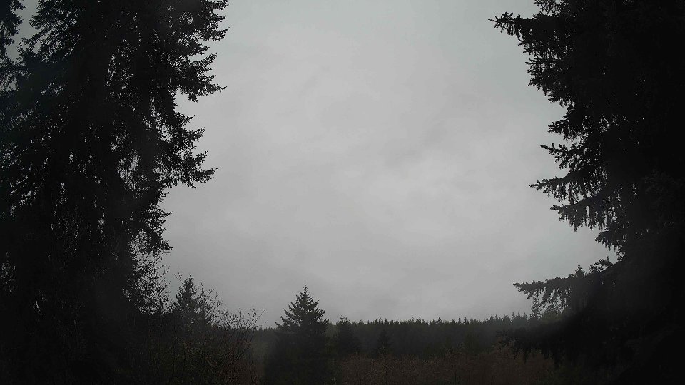
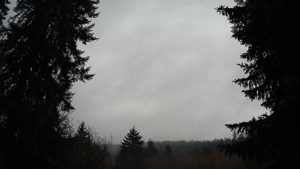
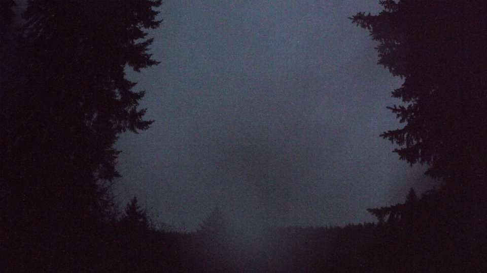
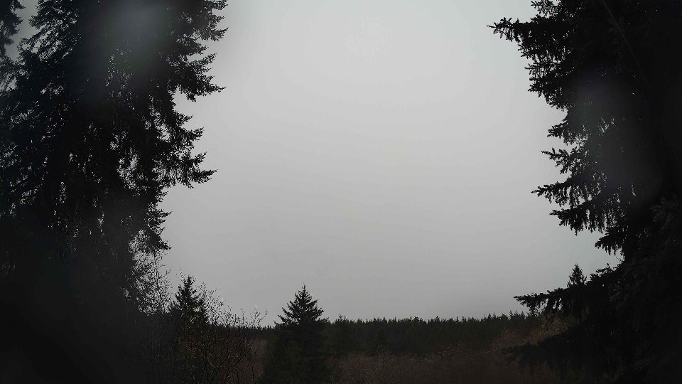
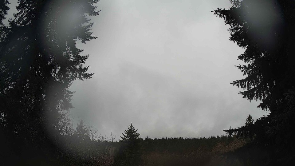
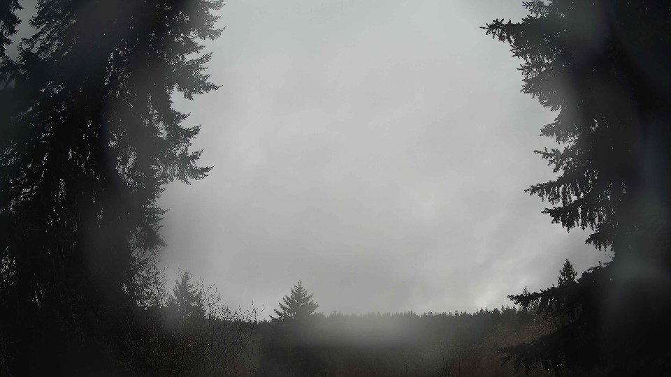
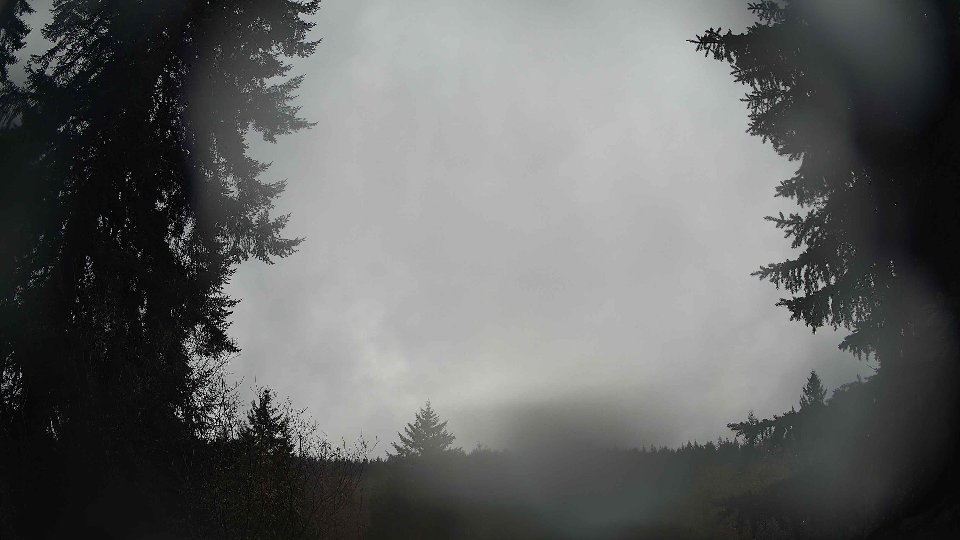
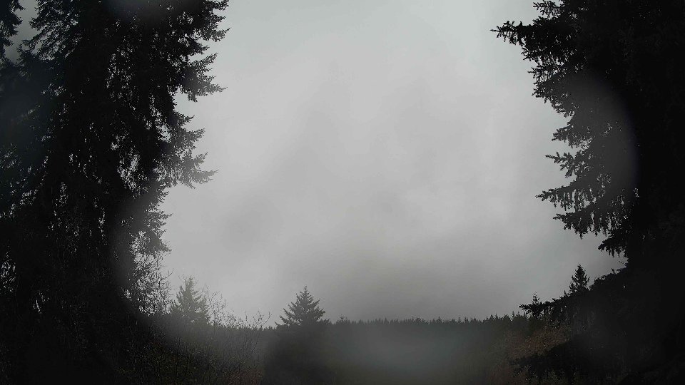
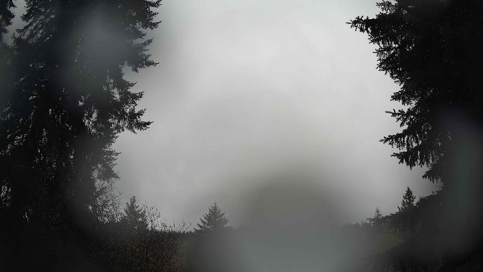
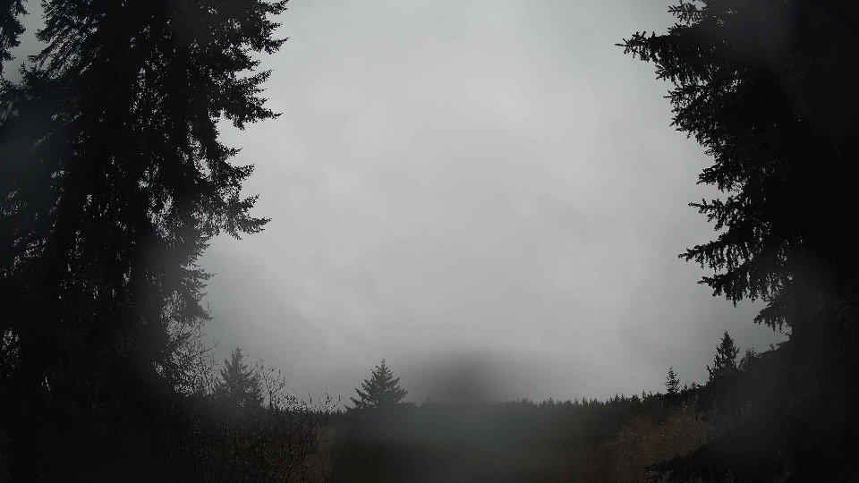
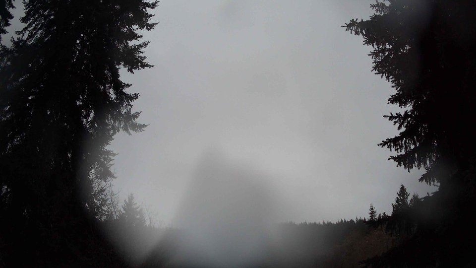
On January 5th, the morning began under a blanket of thick cloud cover, with low clouds accounting for a staggering 87.3% of the sky. Surface winds were light, averaging just 3.1 mph, while winds at 100 meters were slightly stronger at 4.1 mph, creating a gentle but noticeable movement in the atmospheric layers. The temperature was a chilly 36.6°F, setting the tone for a brisk winter day. The low cloud layer, dense and uniform, was primarily driven by these gentle surface winds, which maintained a steady direction. However, the lack of higher altitude winds allowed these clouds to remain somewhat static, leading to a tranquil yet overcast morning sky. With such heavy cloud cover, precipitation was absent, but moisture hung in the air, contributing to a heavy, still atmosphere.
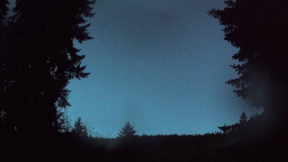
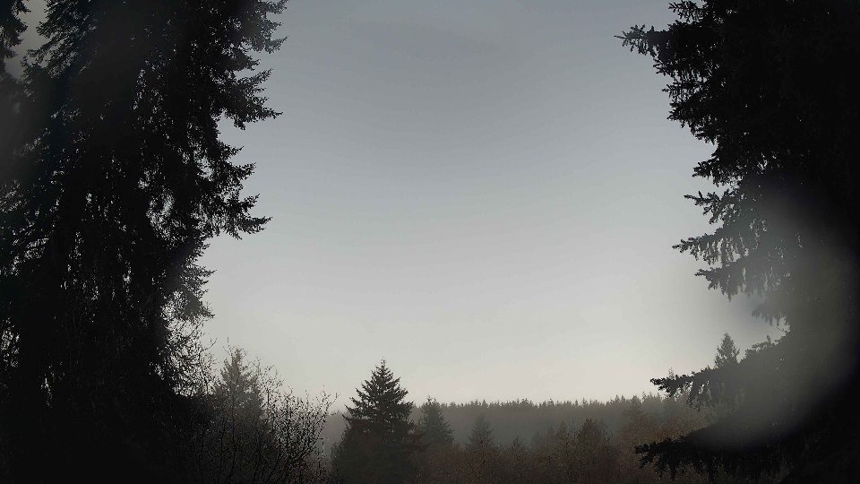
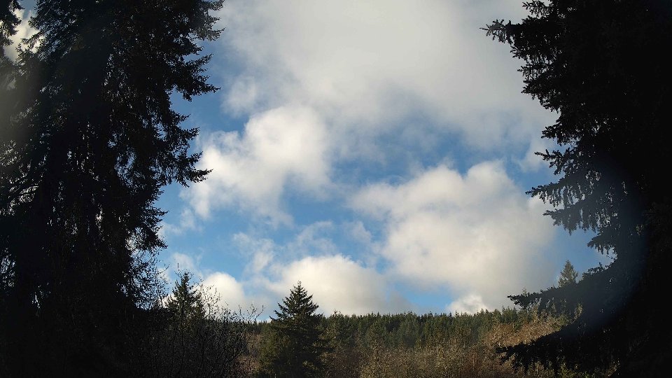
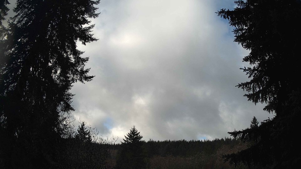
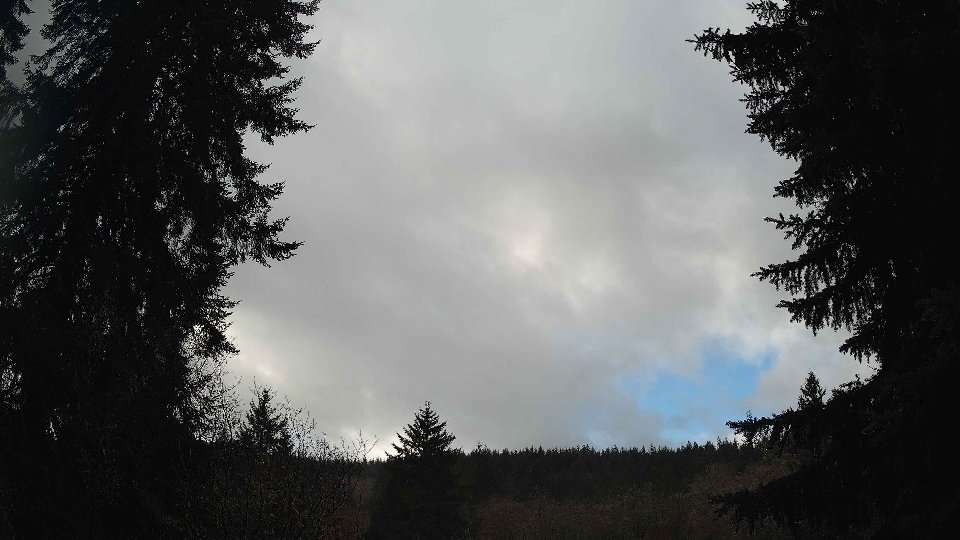
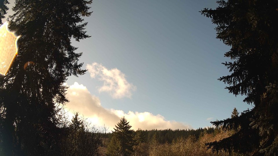
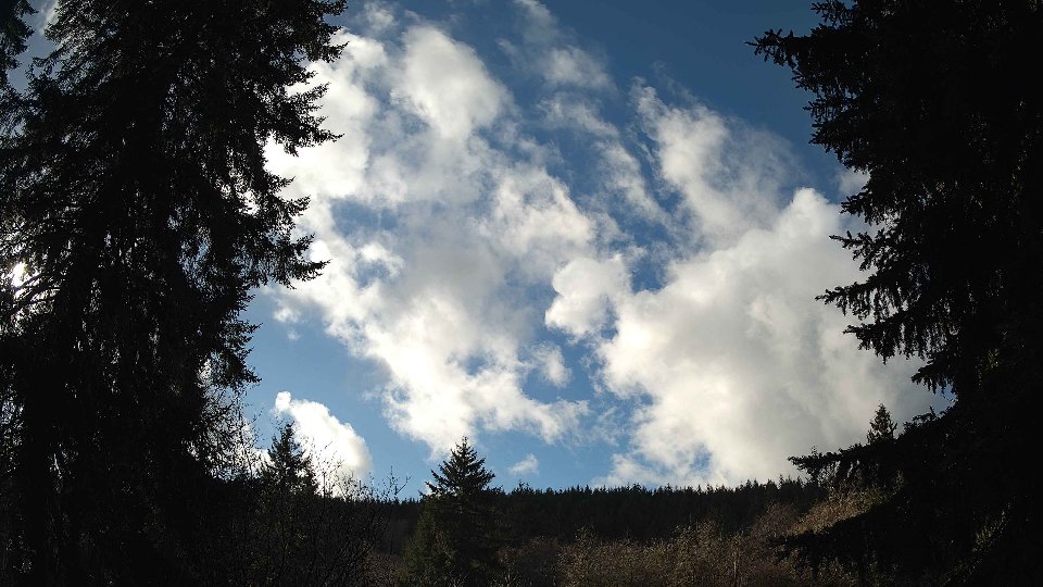
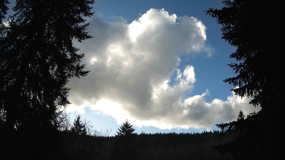
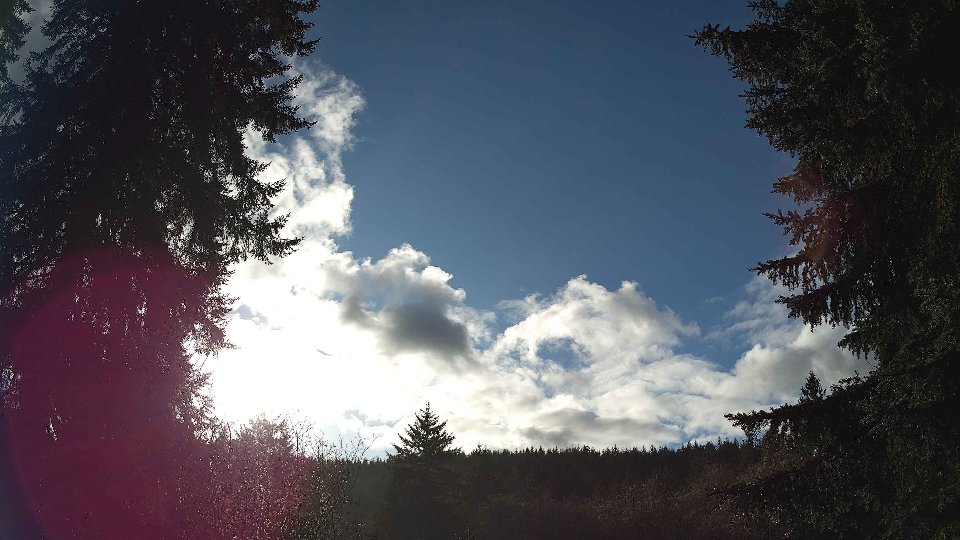
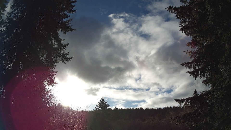
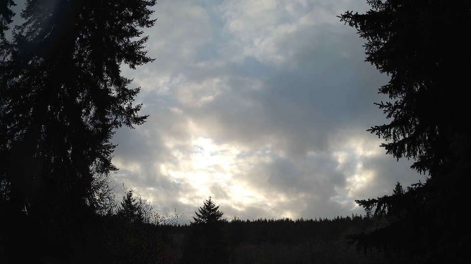
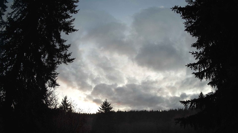
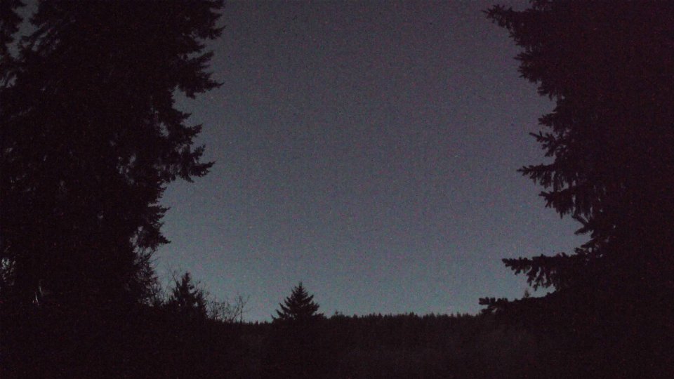
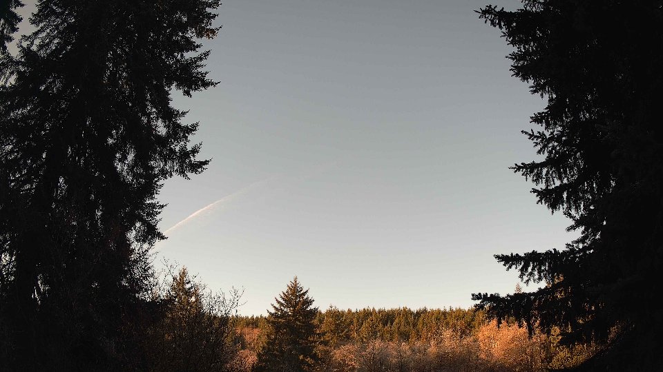
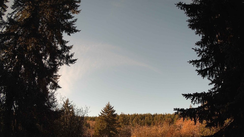
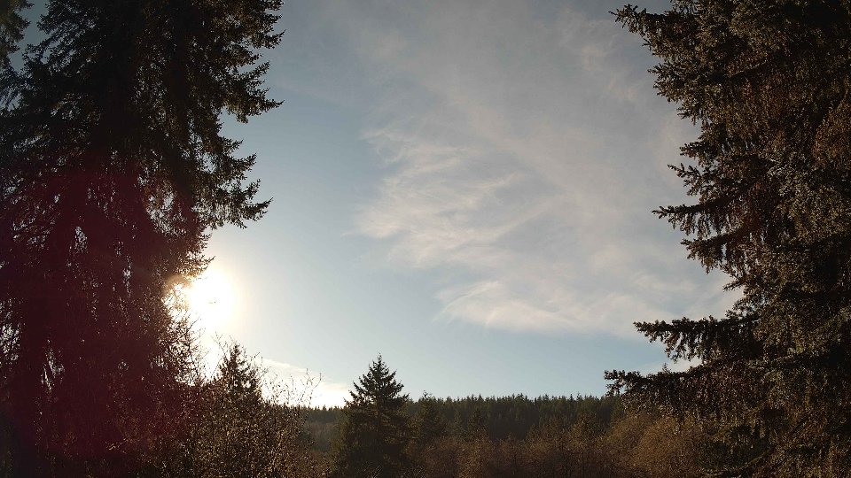
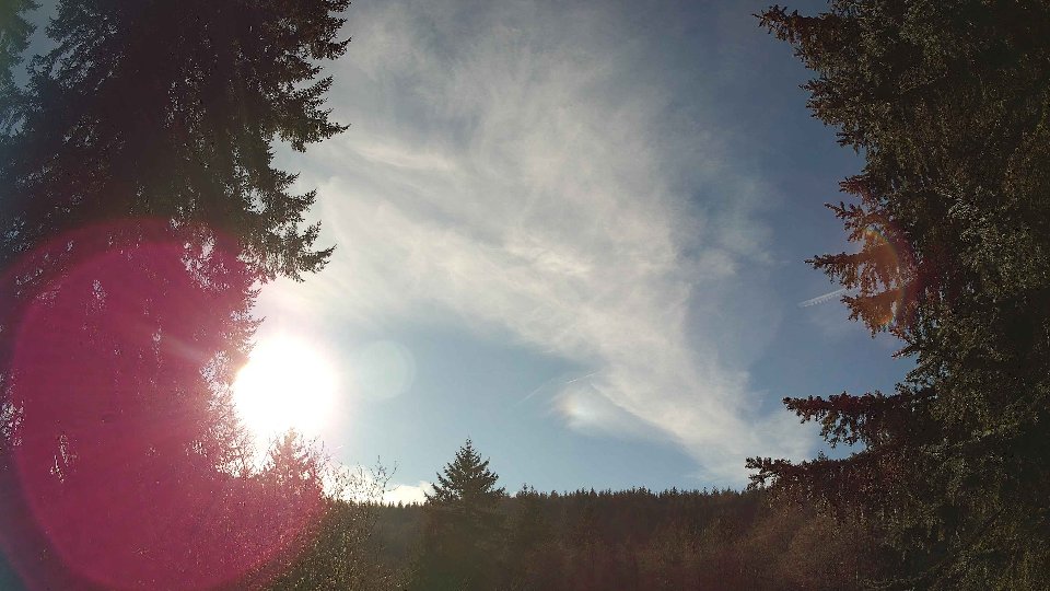
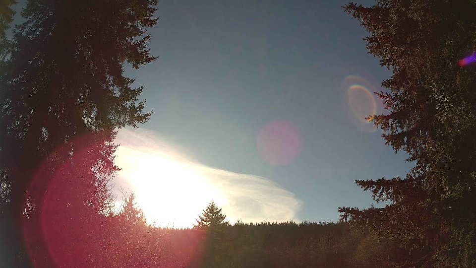
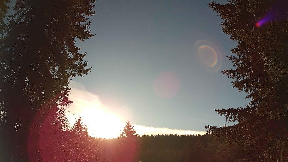
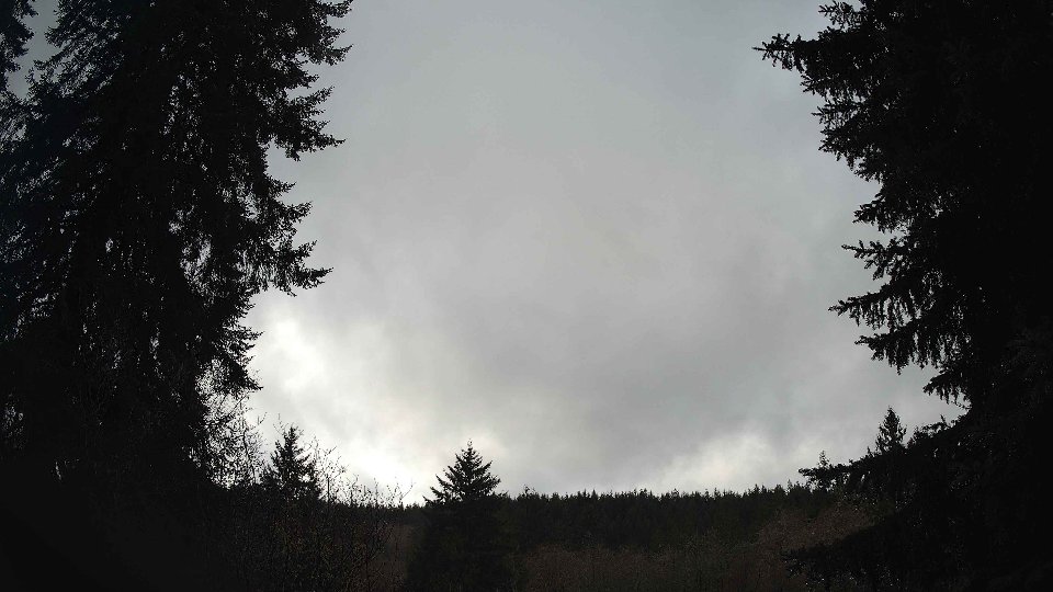
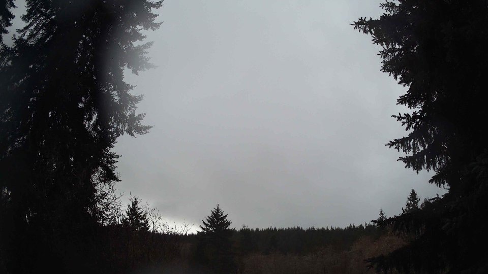
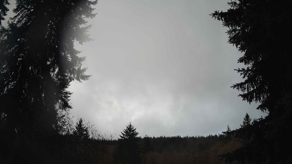
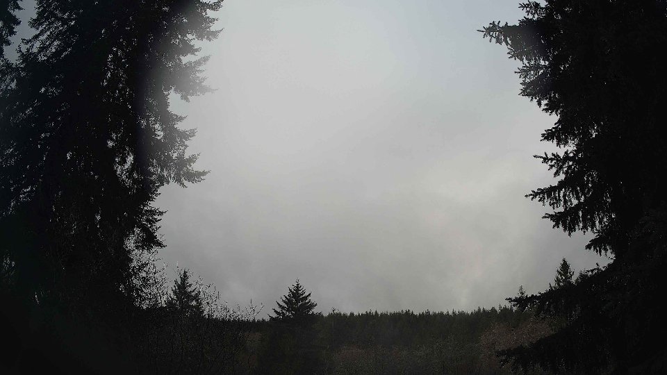
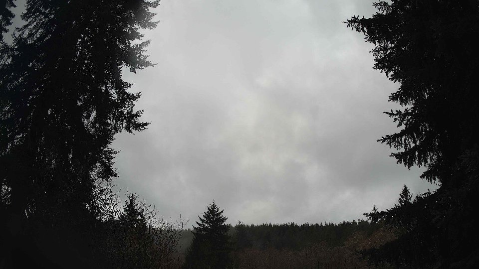
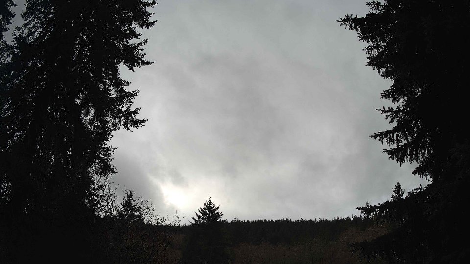
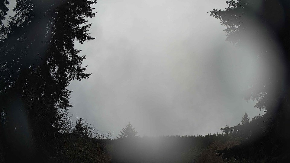
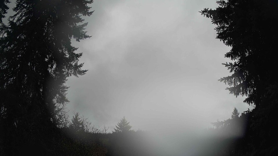
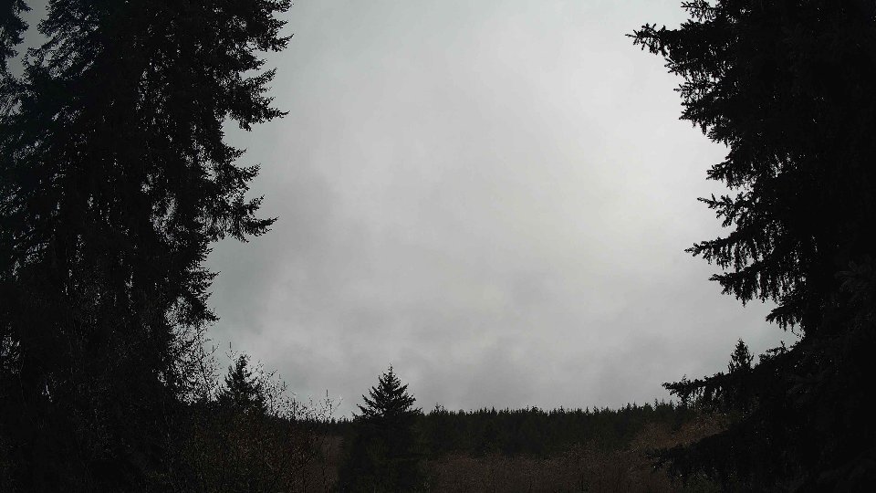
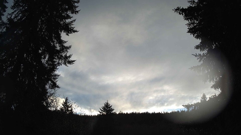
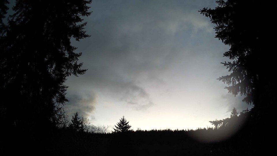
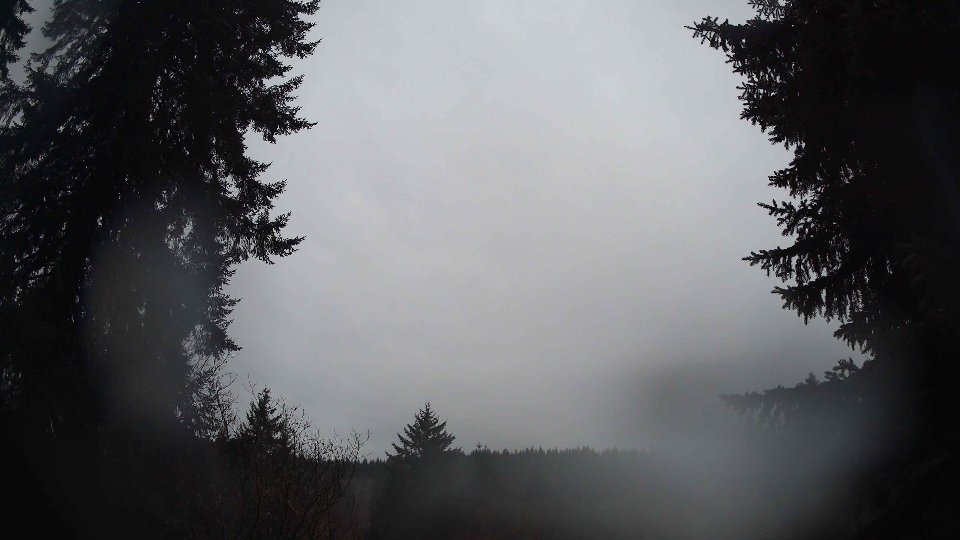
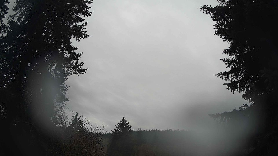
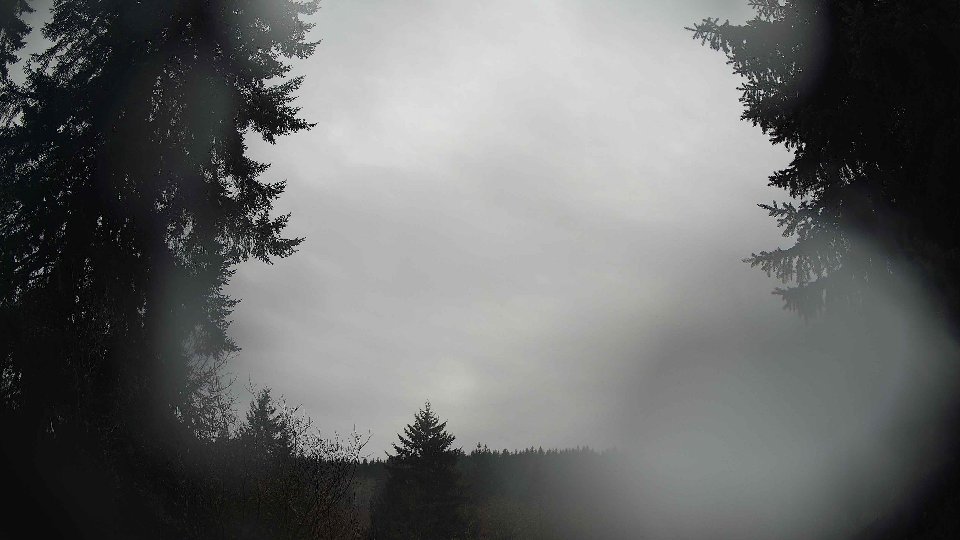
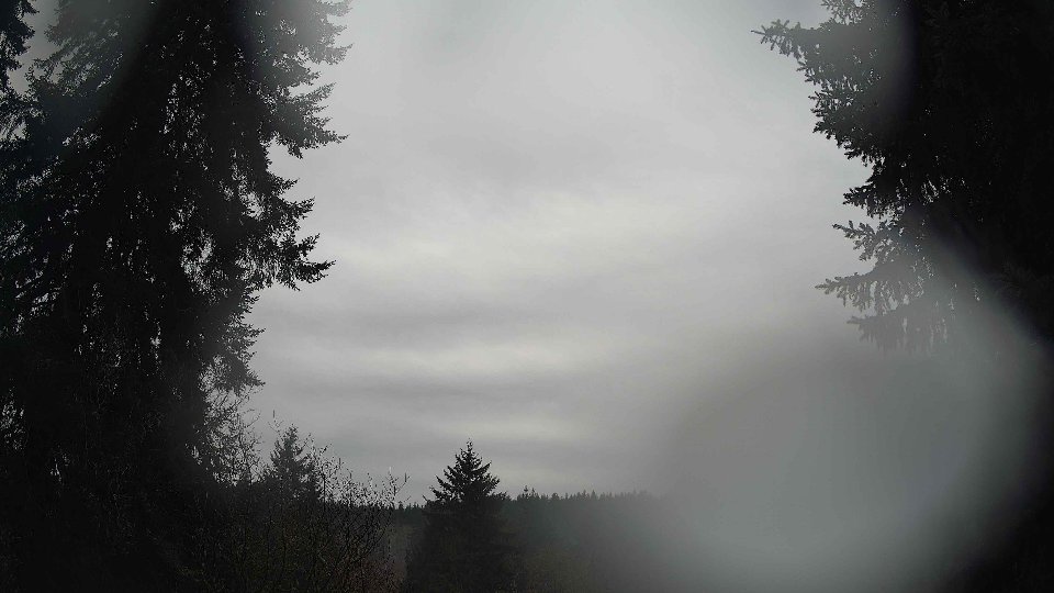
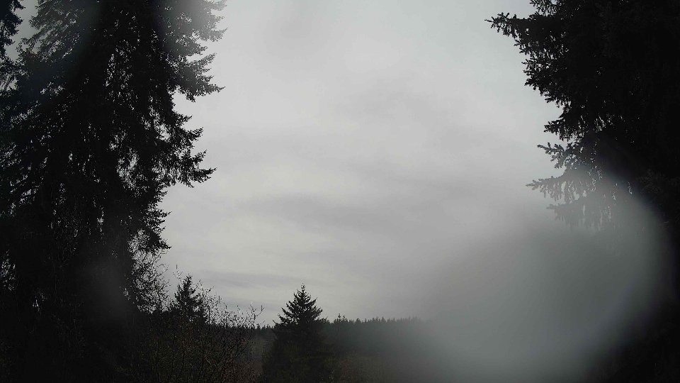
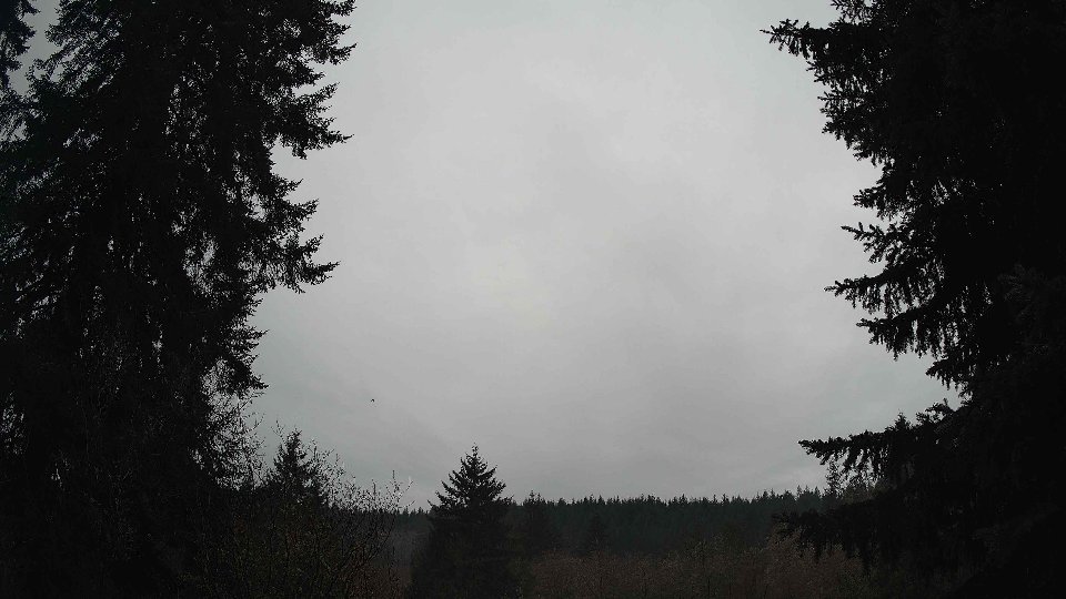
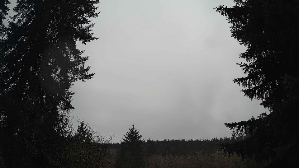
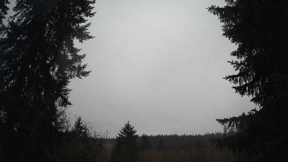
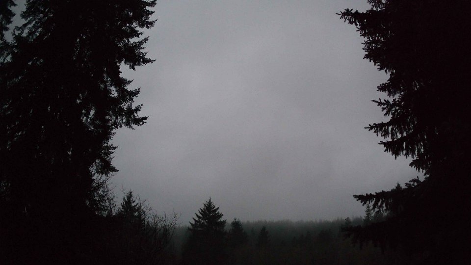
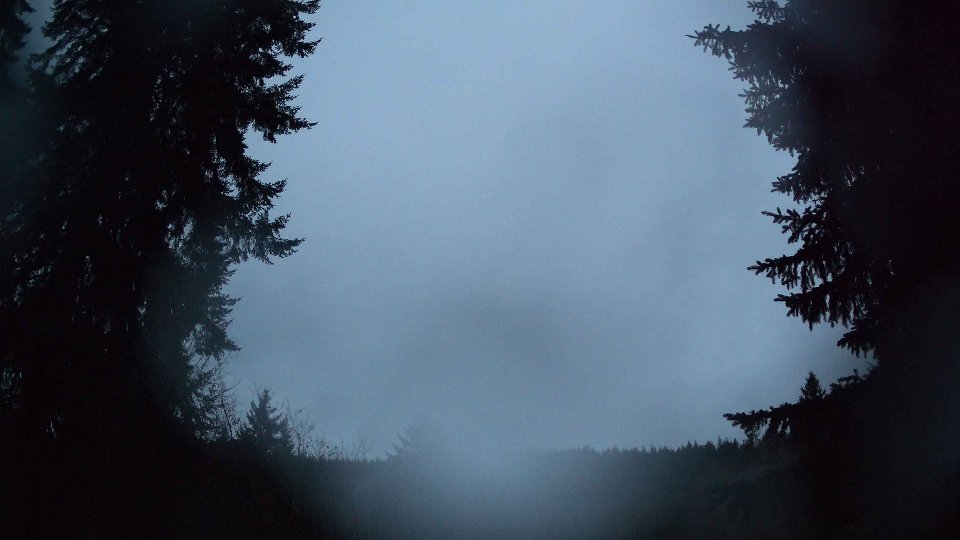
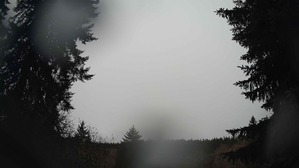
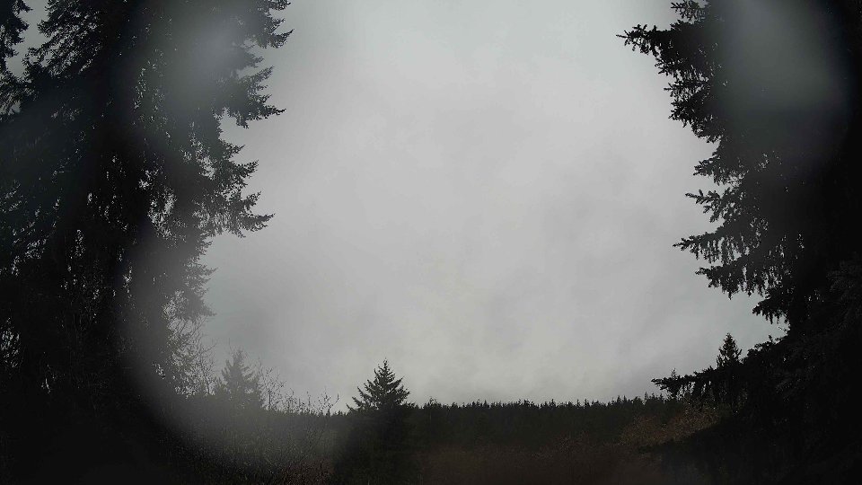
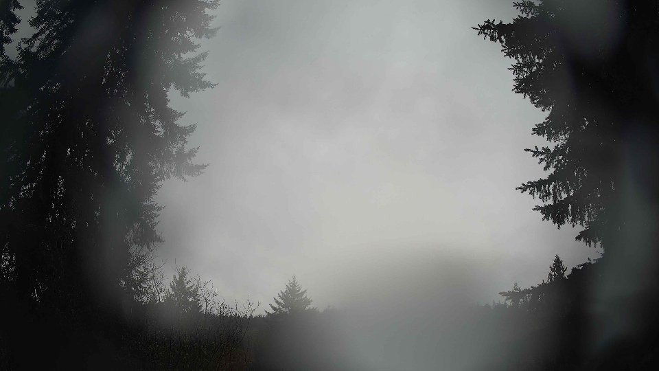
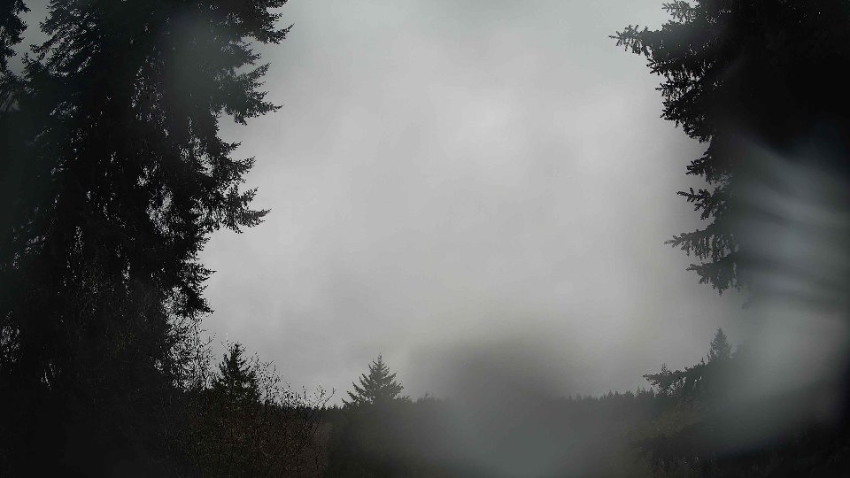
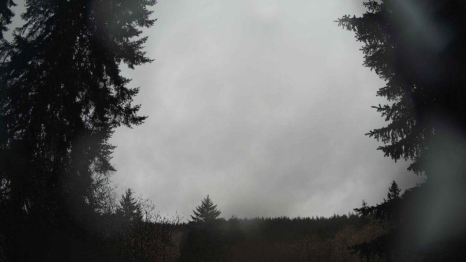
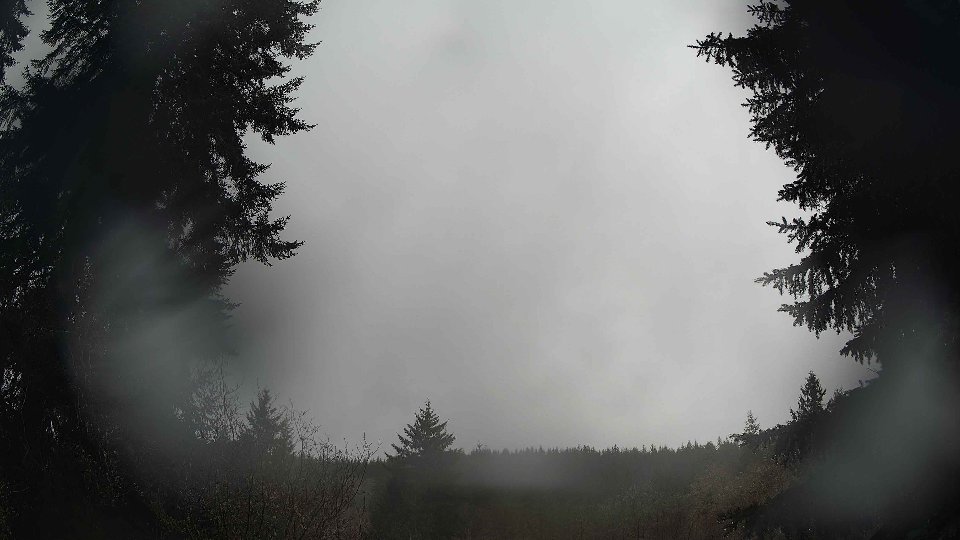
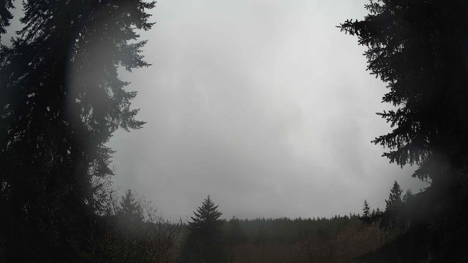
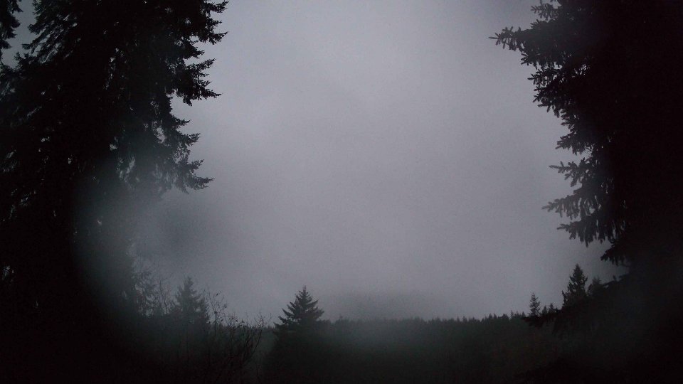
As the day progressed into midday, the weather conditions began to evolve subtly. The surface wind decreased slightly to an average of 2.7 mph, mirroring the gentle drift of clouds that remained predominantly low, covering 63% of the sky. These low clouds were still the primary feature, with the mid-level clouds remaining sparse. Interestingly, as the temperature climbed to a more comfortable 43.6°F, the wind at 100 meters also softened to an average of 3.4 mph. This change suggested a slight stabilization of the atmosphere, with the cloud base remaining relatively unchanged but beginning to show signs of dispersal. The interaction between the low surface winds and slightly stronger winds aloft created some light turbulence, resulting in a few areas of patchy cloud movement that added depth to the overcast skies, a reminder that even when conditions seem calm, the atmosphere is in constant motion.
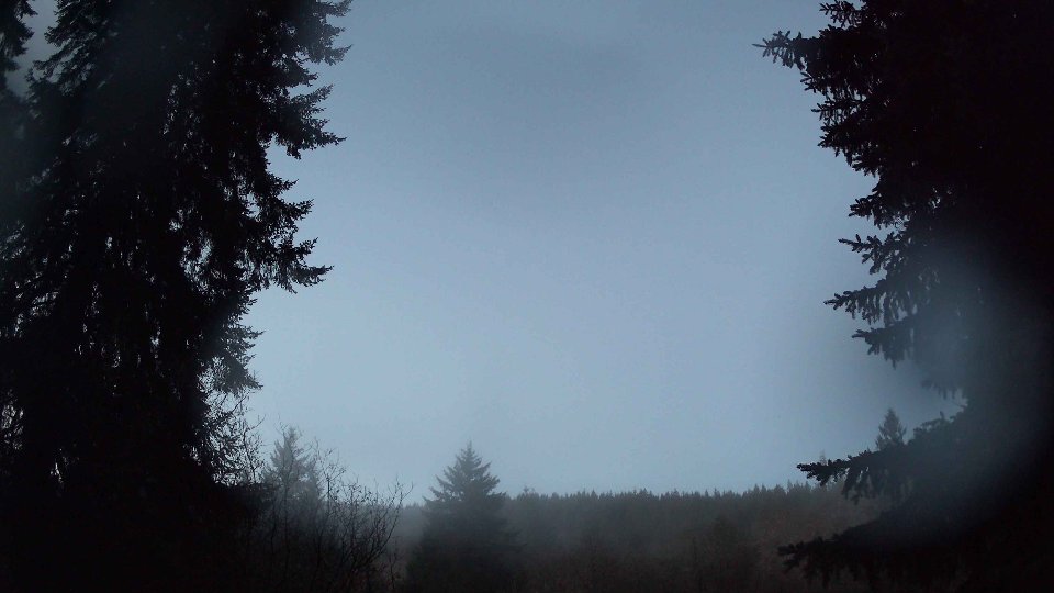
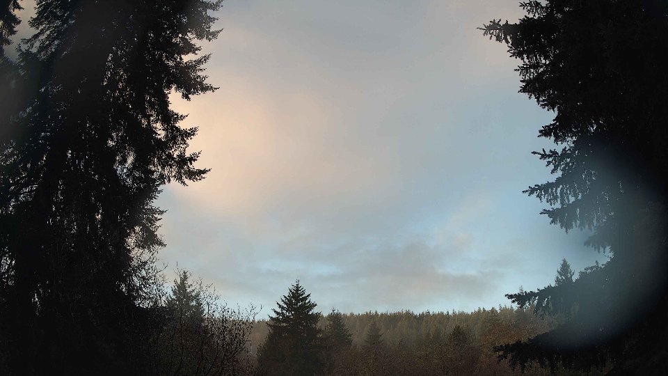
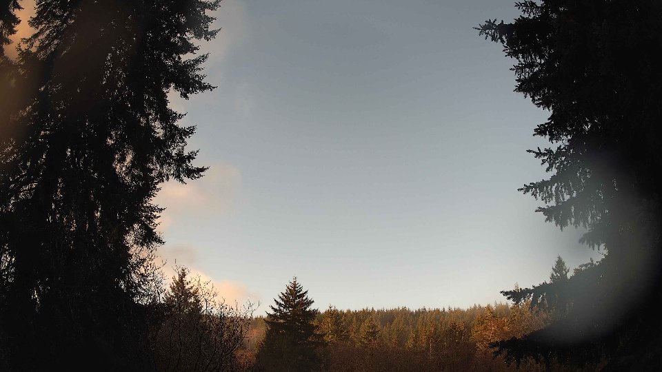
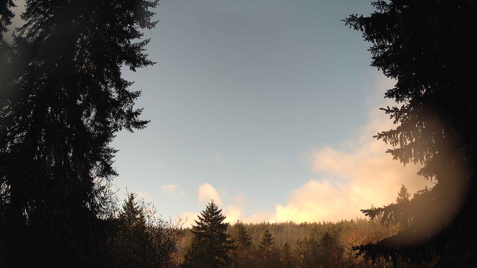
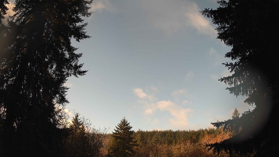
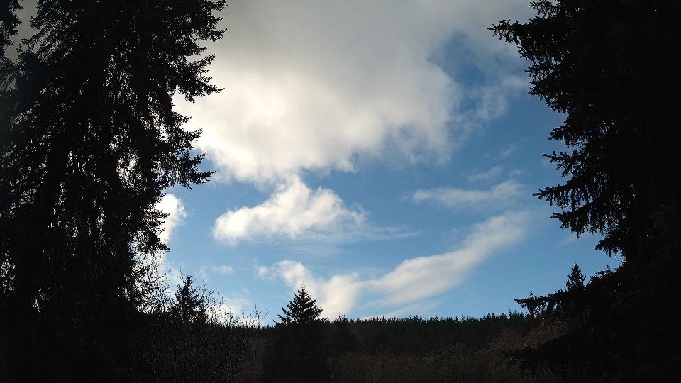
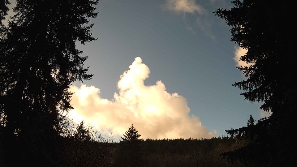
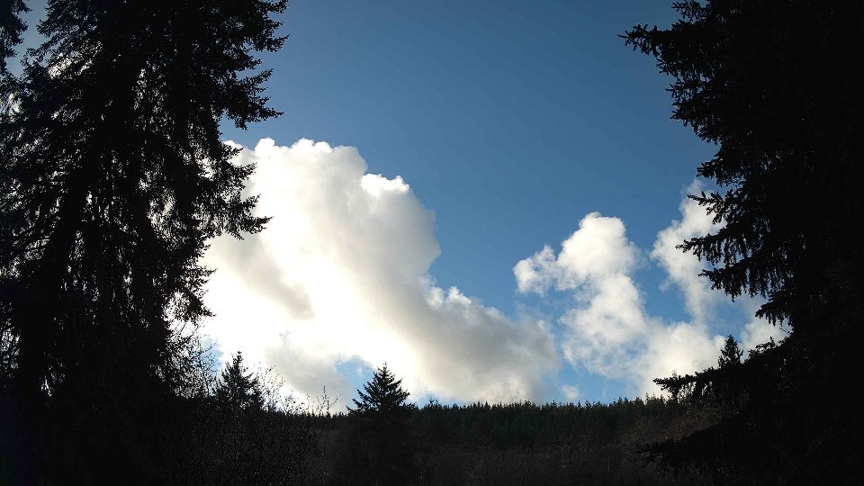
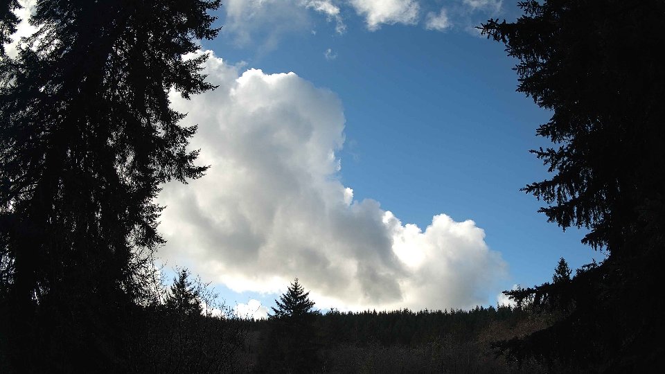
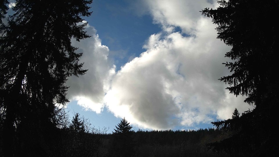
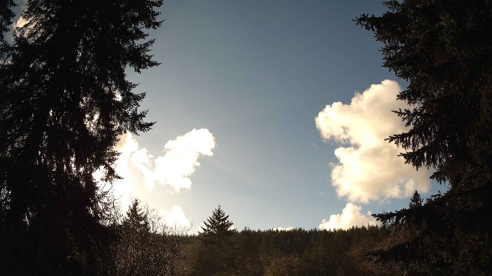
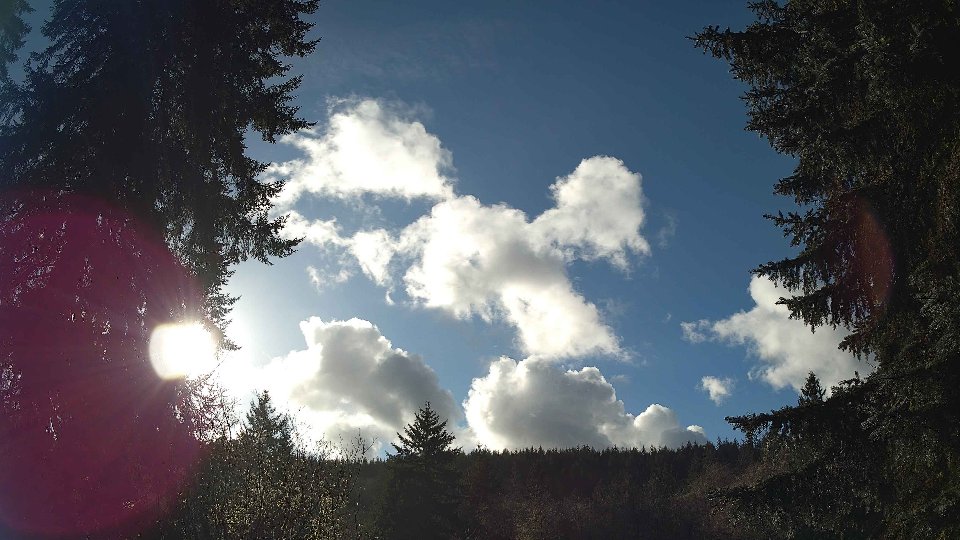
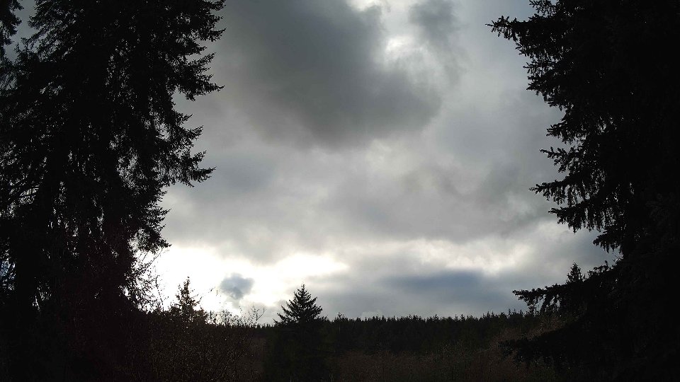
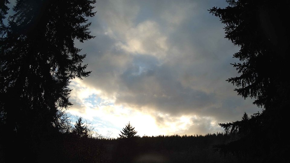
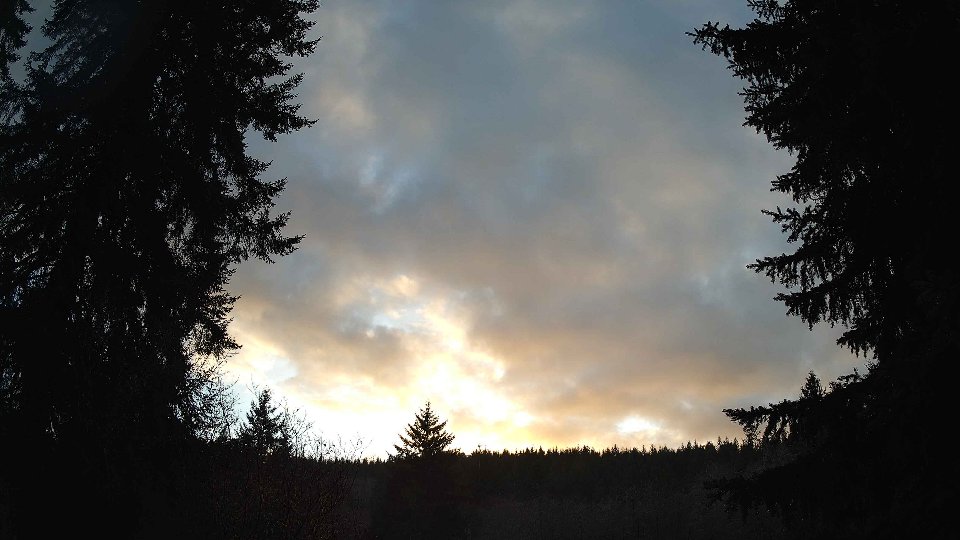
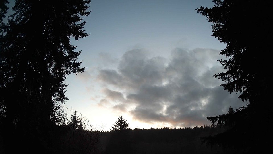
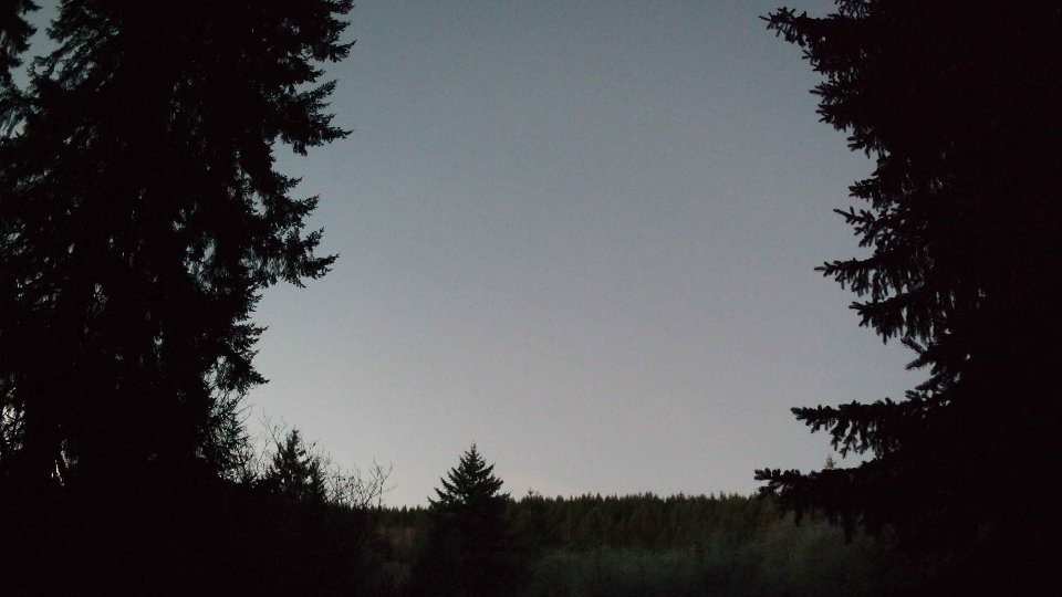
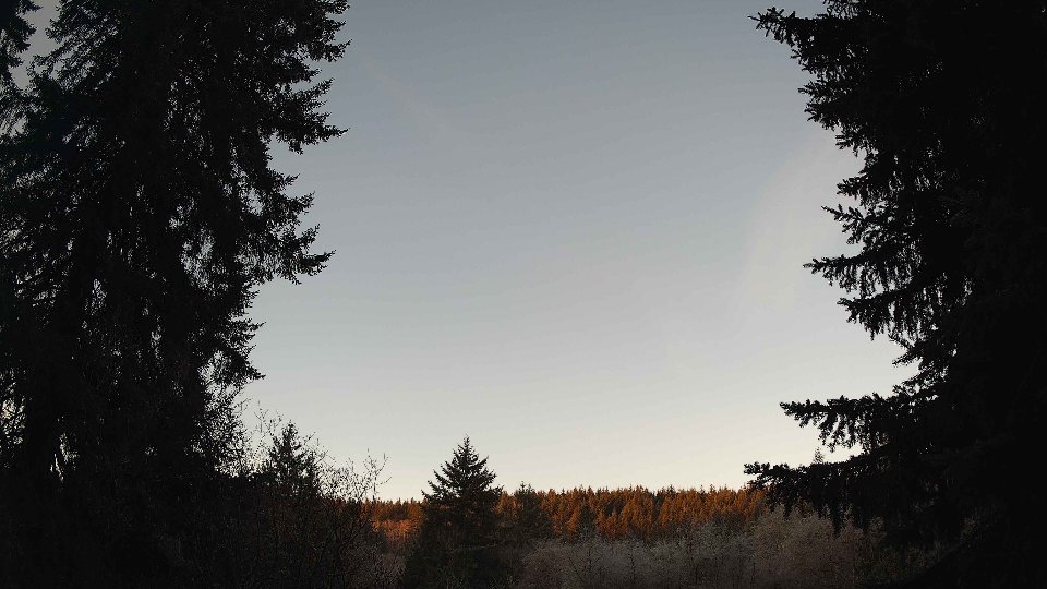
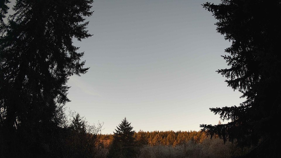
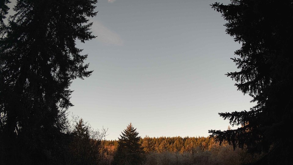
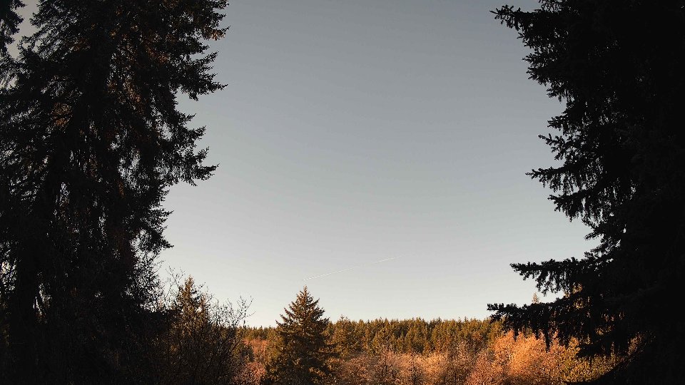
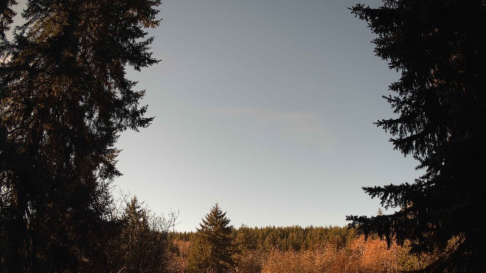
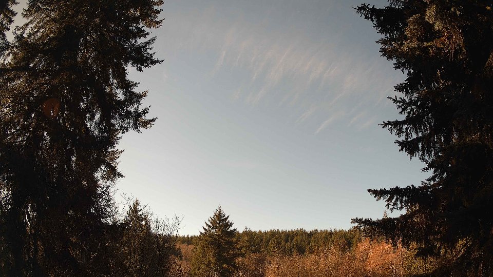
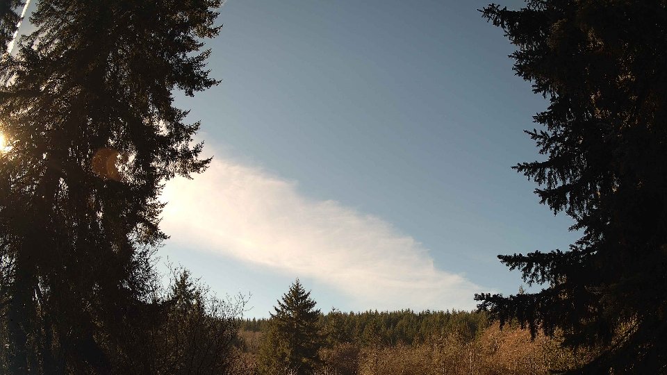
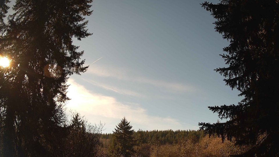
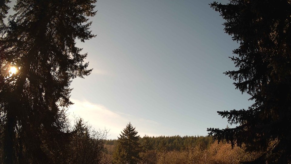
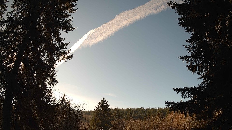
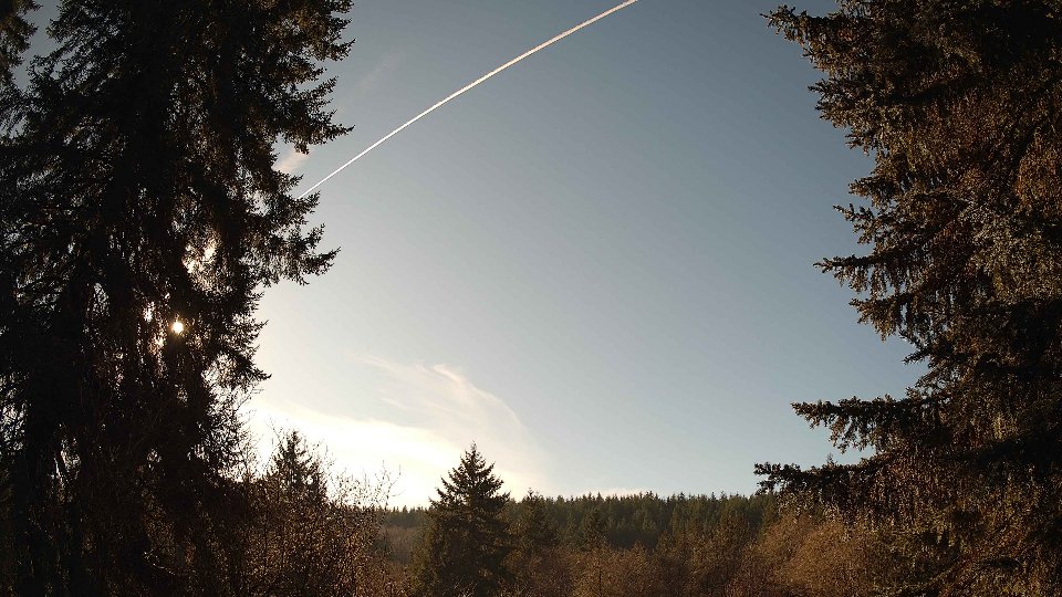
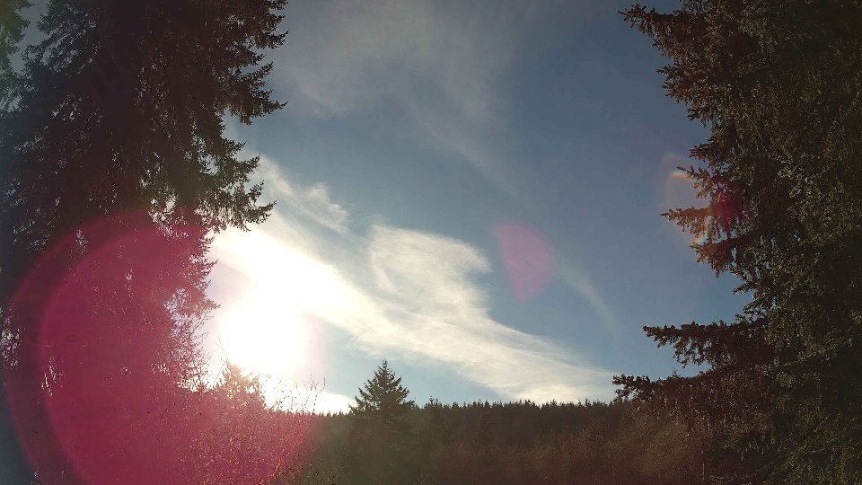
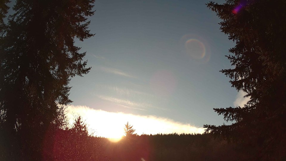
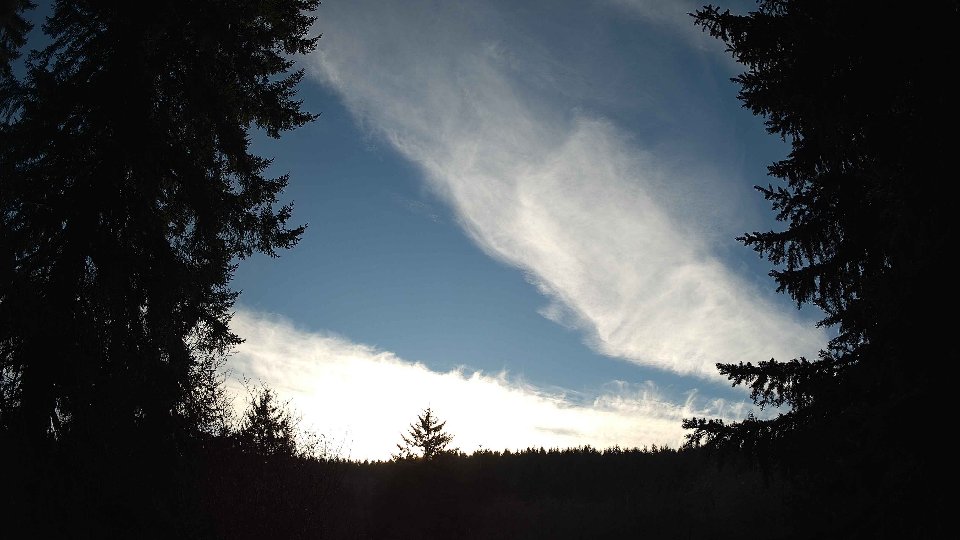
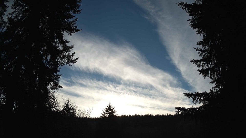
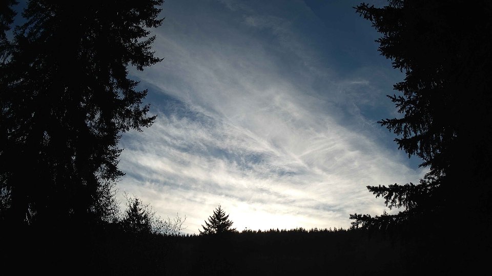
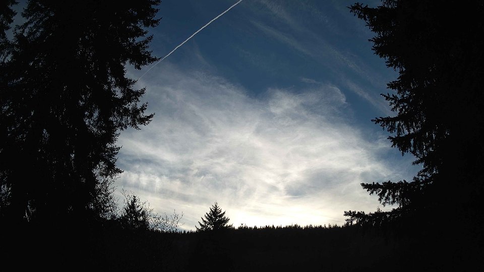
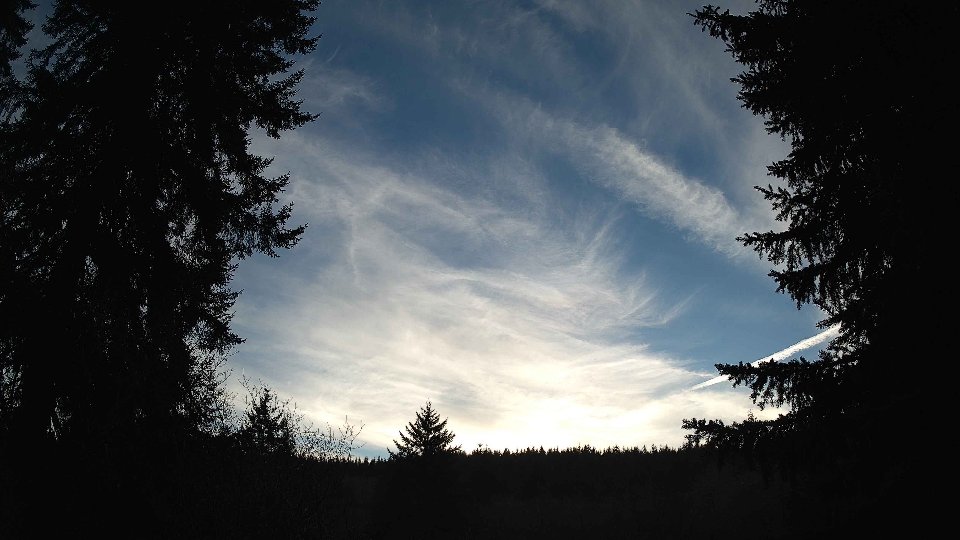
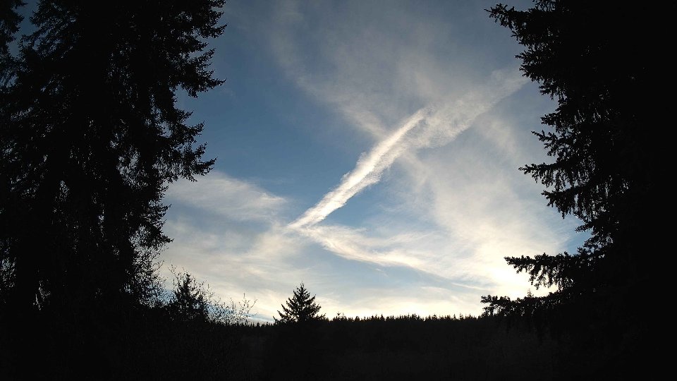
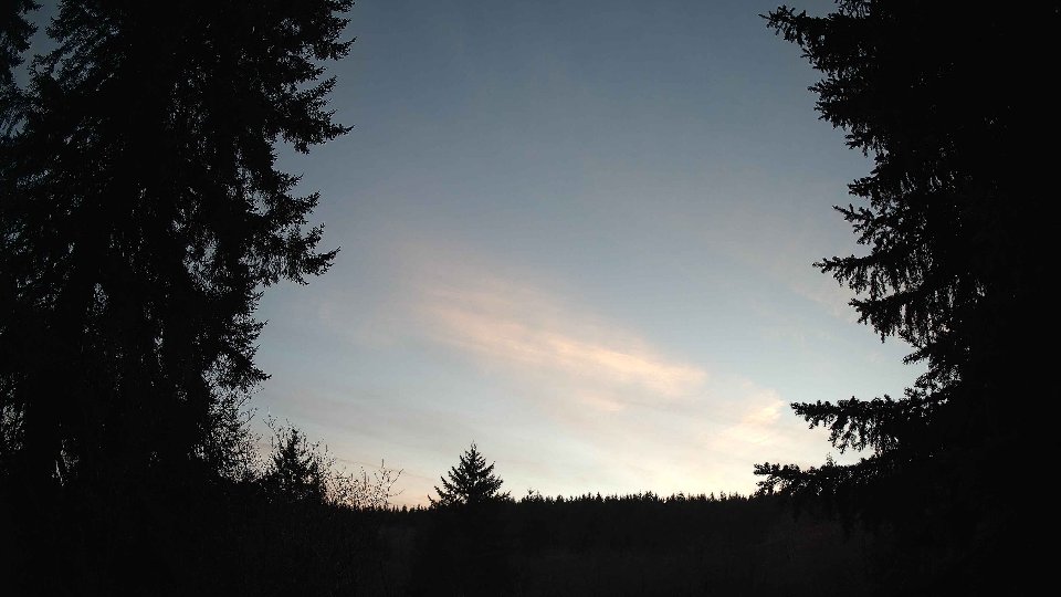
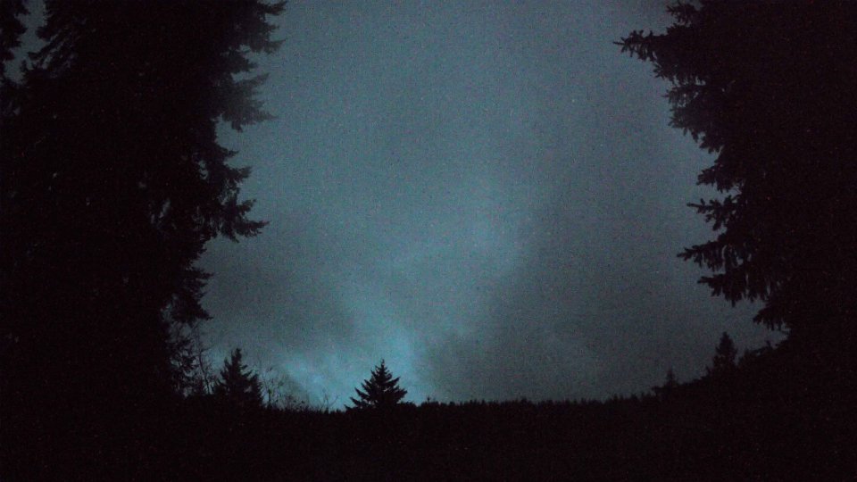
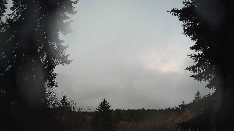
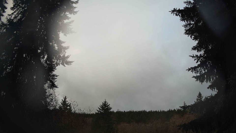
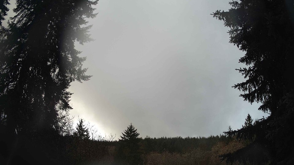
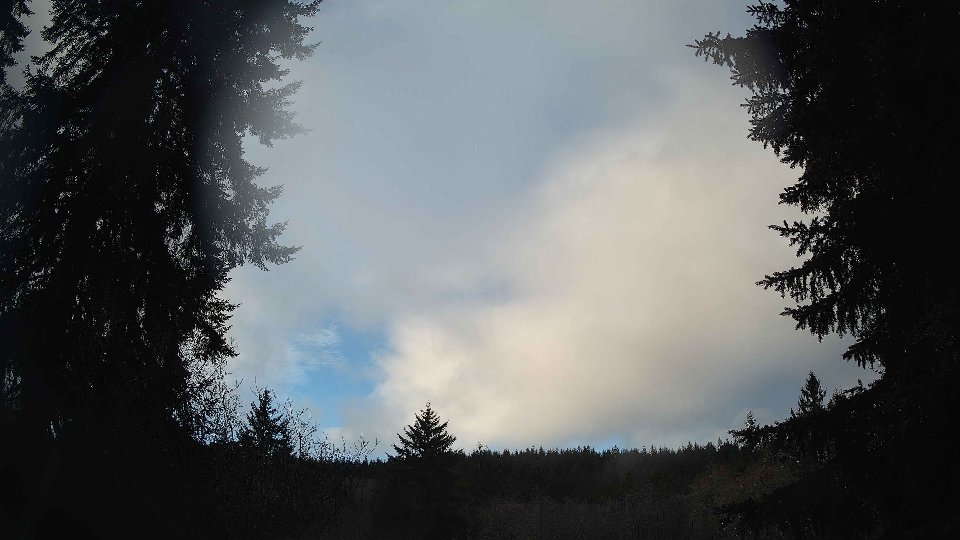
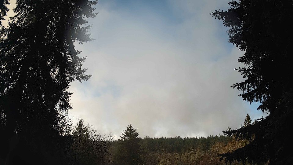
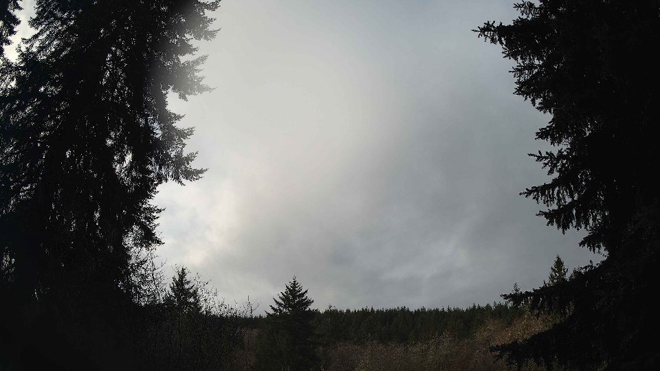
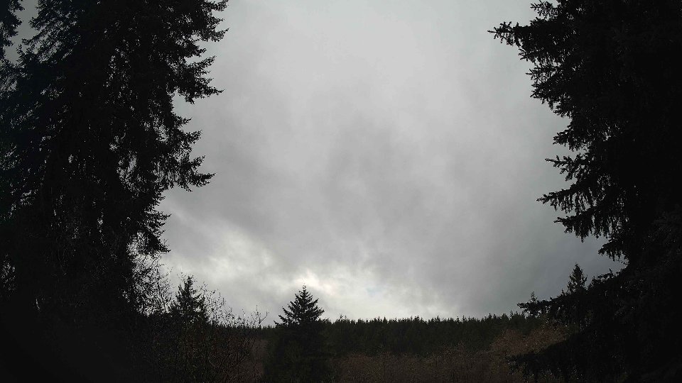
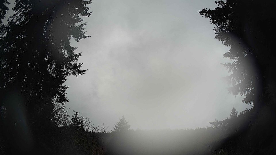
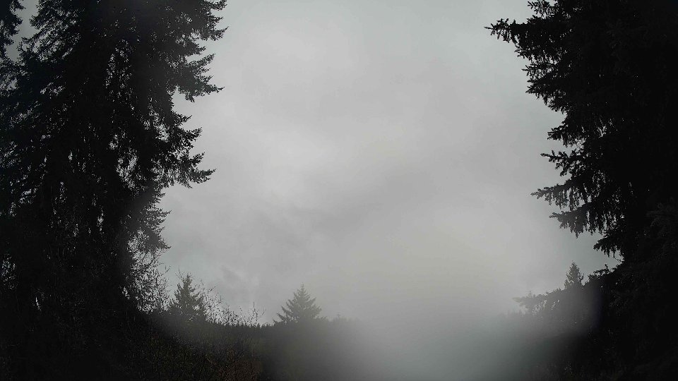
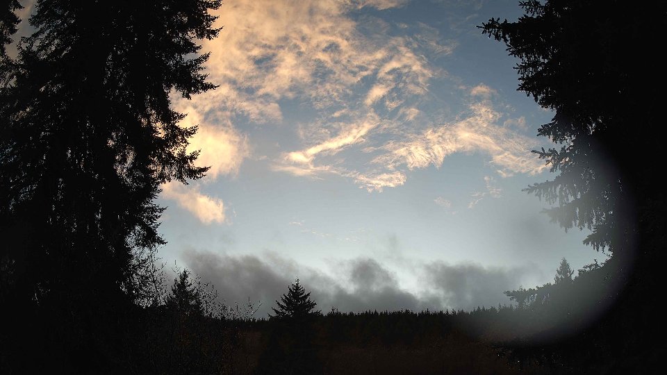
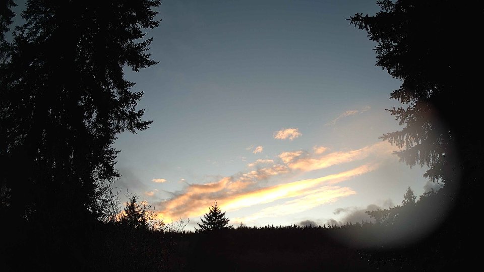
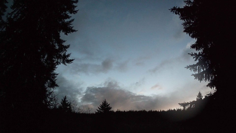
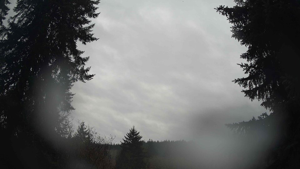
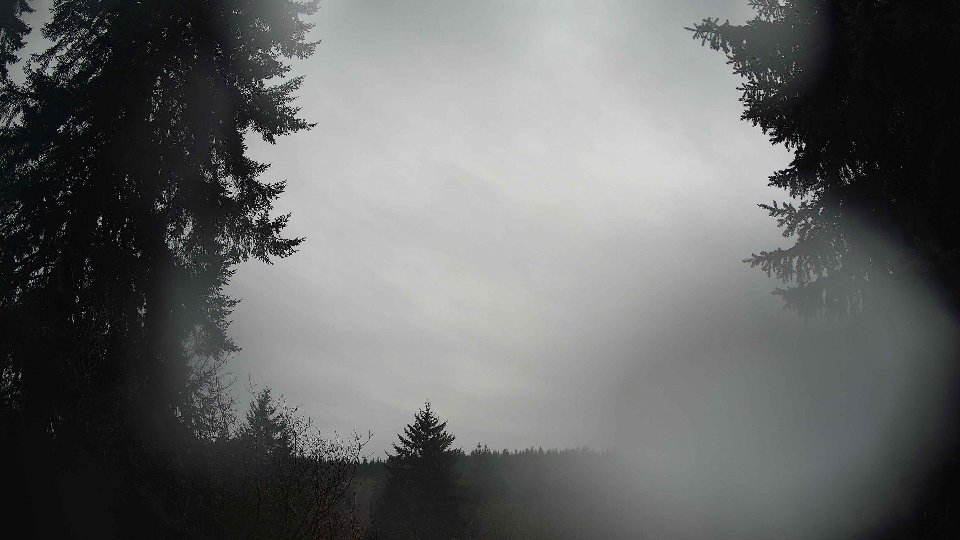
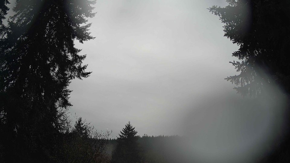
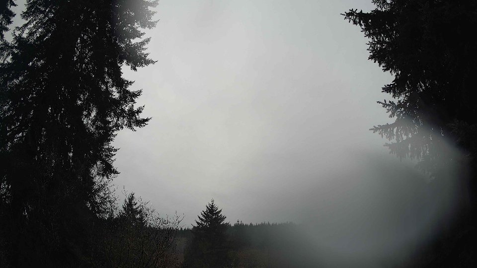
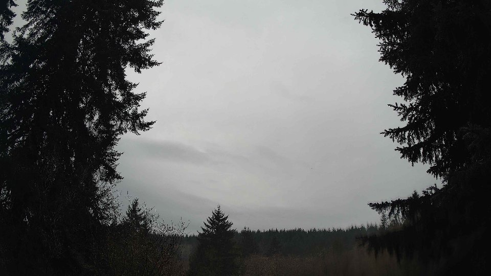
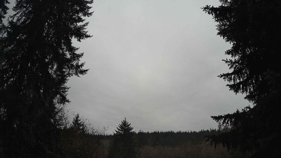
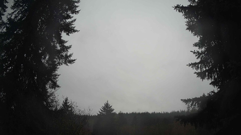
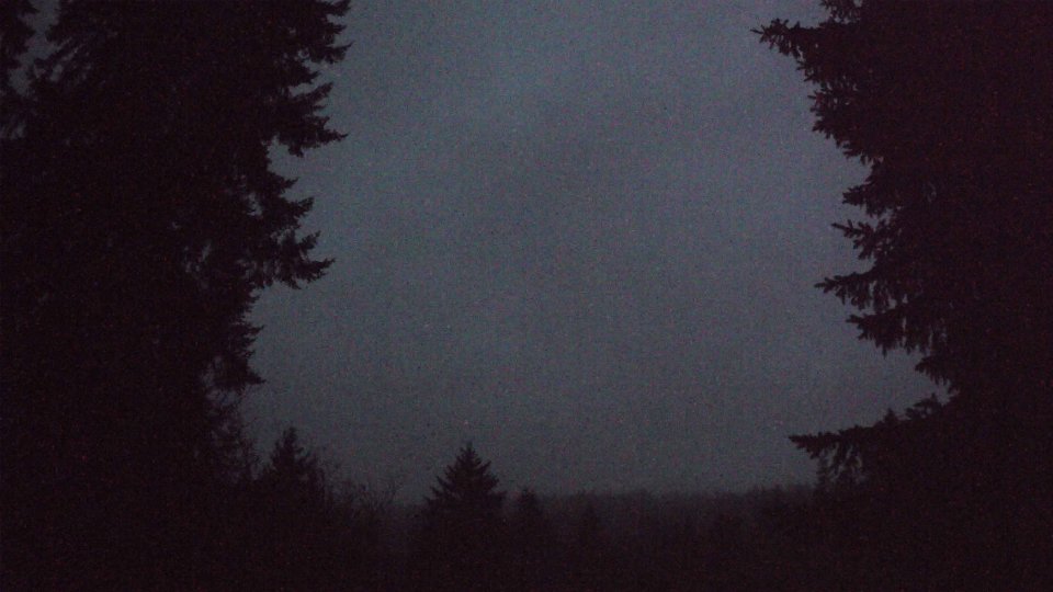
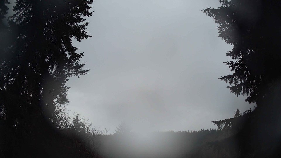
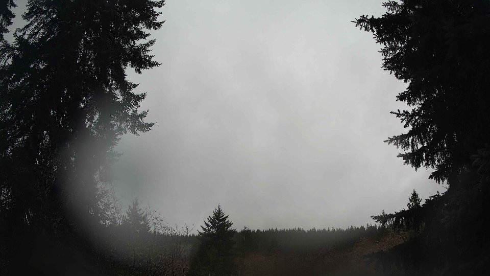
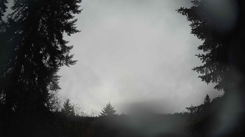
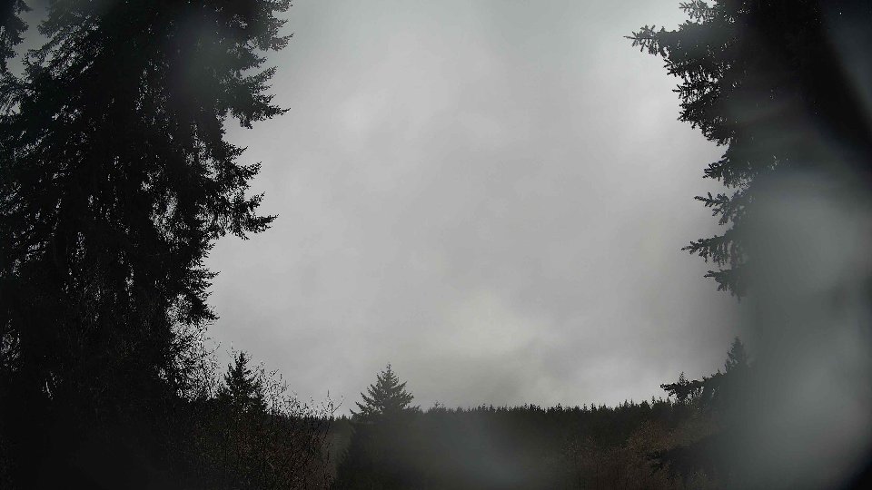
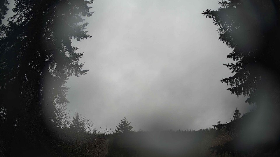
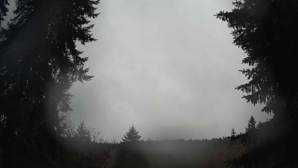
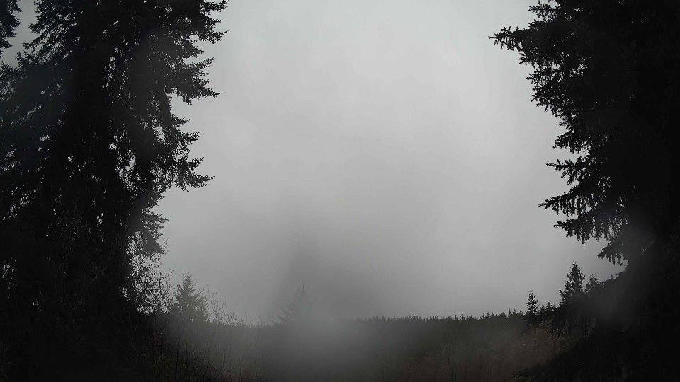
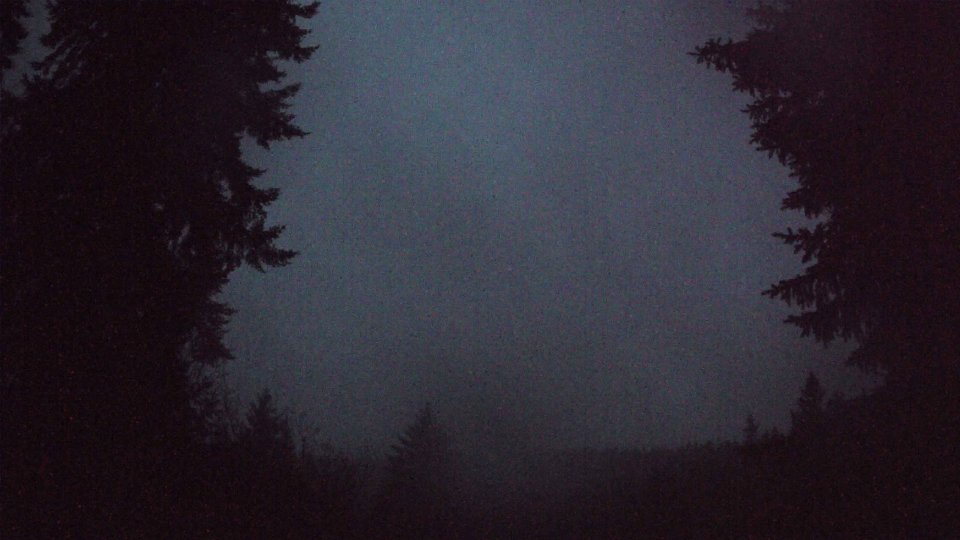
In the evening, conditions shifted once more, revealing a more layered sky as the clouds evolved further. The surface winds slowed to a mere 1.3 mph while the winds at 100 meters dropped slightly to an average of 2.8 mph. By this time, the clouds had become more stratified, with low cloud cover decreasing to 41.3% and intriguingly, high clouds making their first significant appearance at 48.3%. This layering effect was indicative of a change in atmospheric dynamics, as the wind shear between the slow-moving surface winds and the slightly faster winds at altitude created some turbulence. The overall cloud cover reflected this transition, resulting in a more complex sky, where the higher clouds floated in contrast to the dense lower clouds. The day concluded with a temperature of 43.1°F, maintaining a generally cool ambiance but lacking any precipitation. The evolving cloud layers, stirred by the subtle winds aloft, painted a picturesque end to the day, capturing the essence of winter in the Pacific Northwest.
January 5th, 2026 Timeline
Screenshots with weather data (wind layers, clouds, precipitation)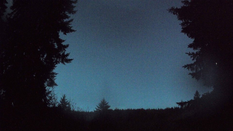


Weather Info for January 5th, 2026
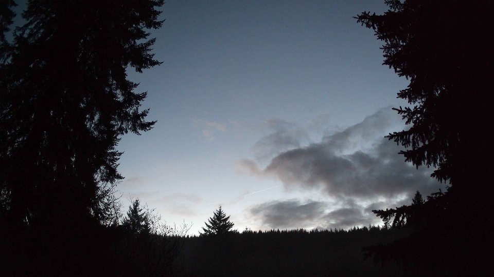
Sunset: 4:41 PM