February 14th, 2026 Timelapse
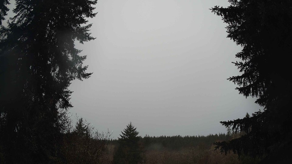
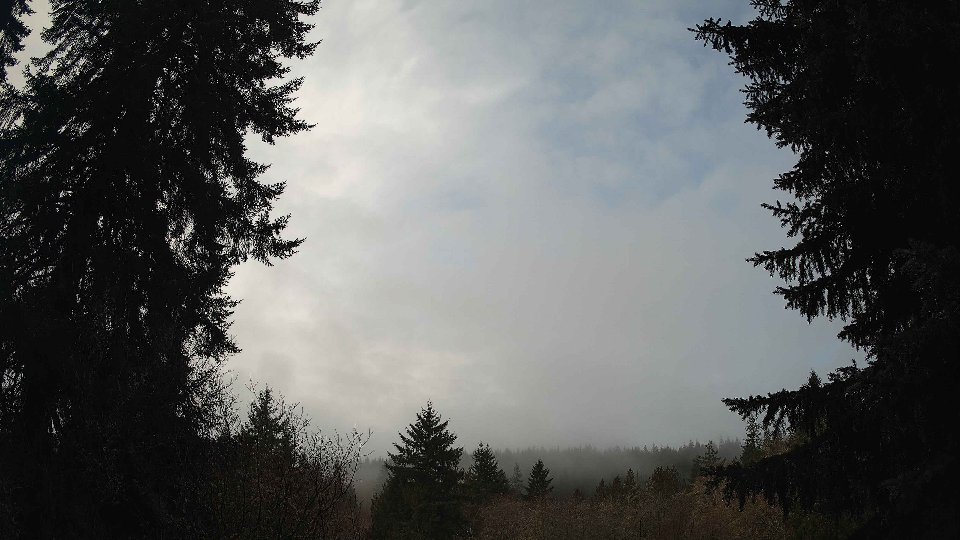
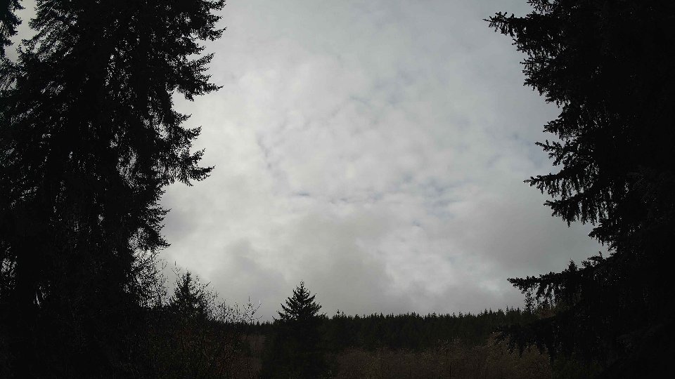
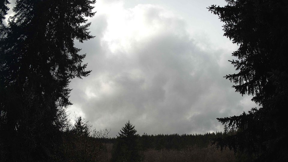
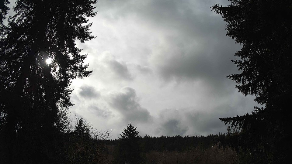
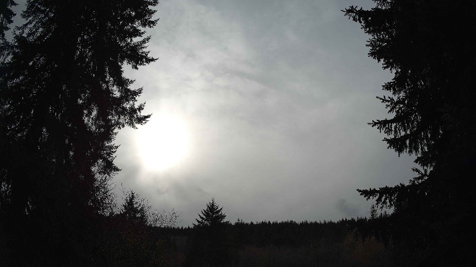
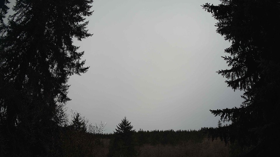
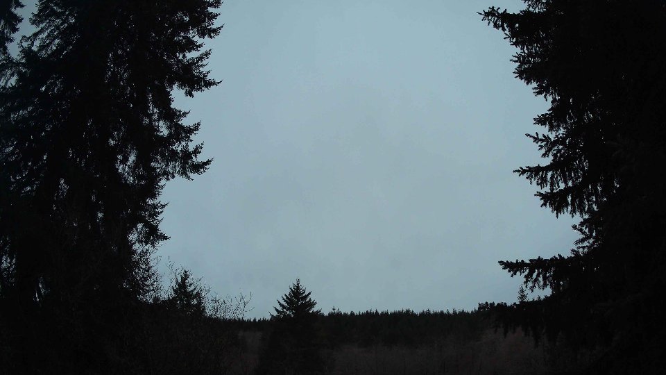
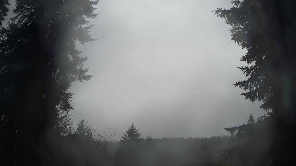
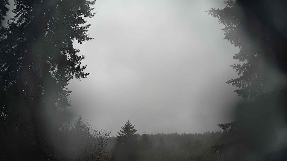
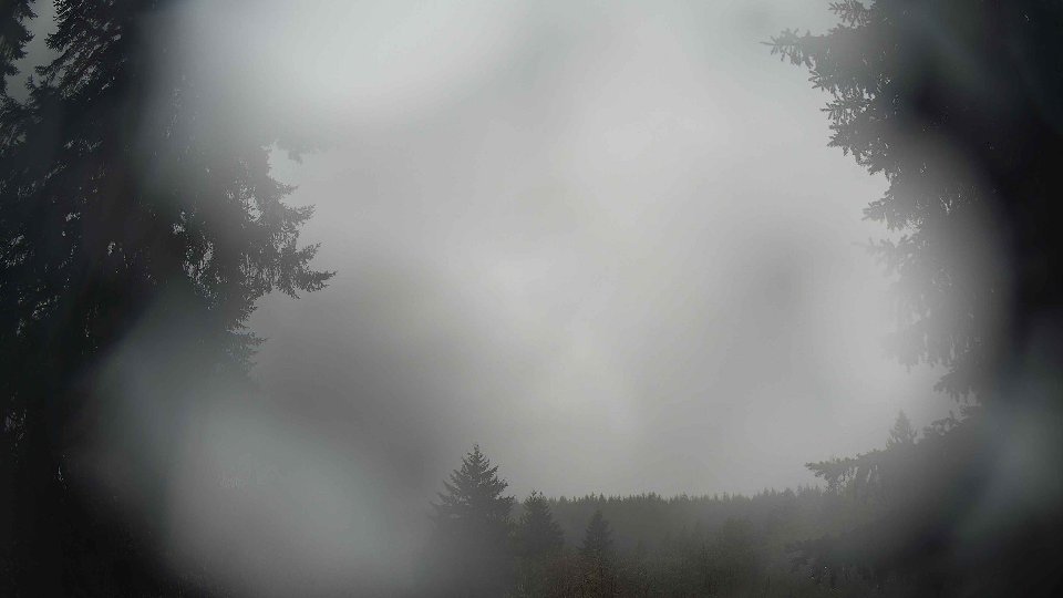
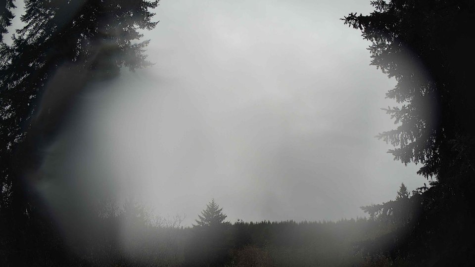
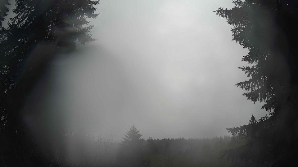
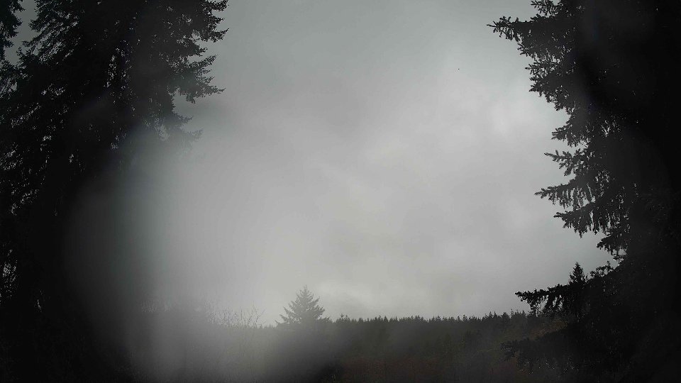
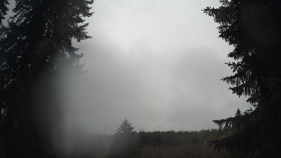
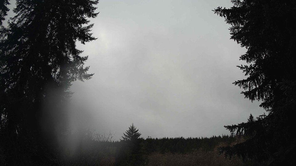
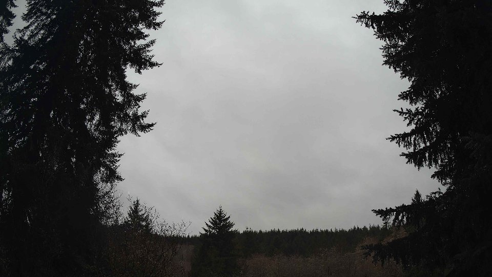
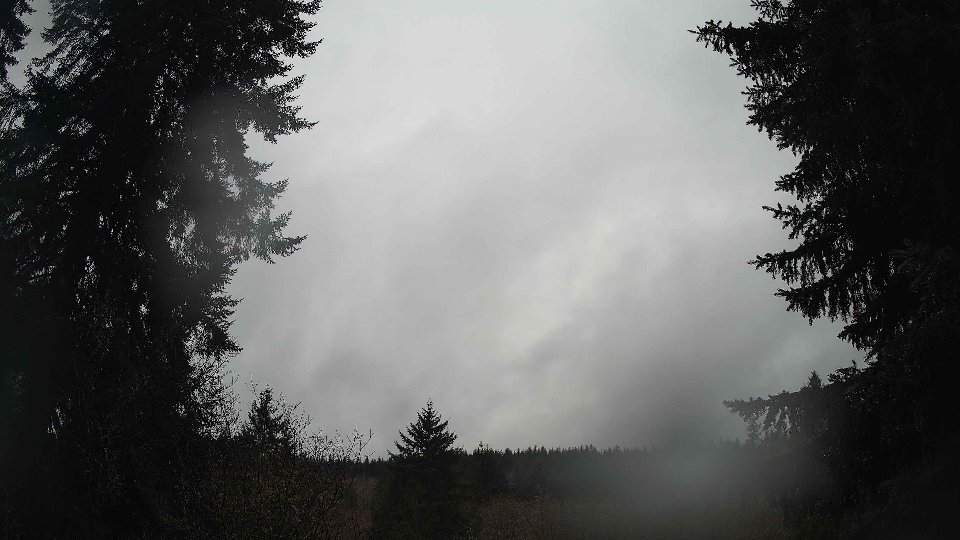
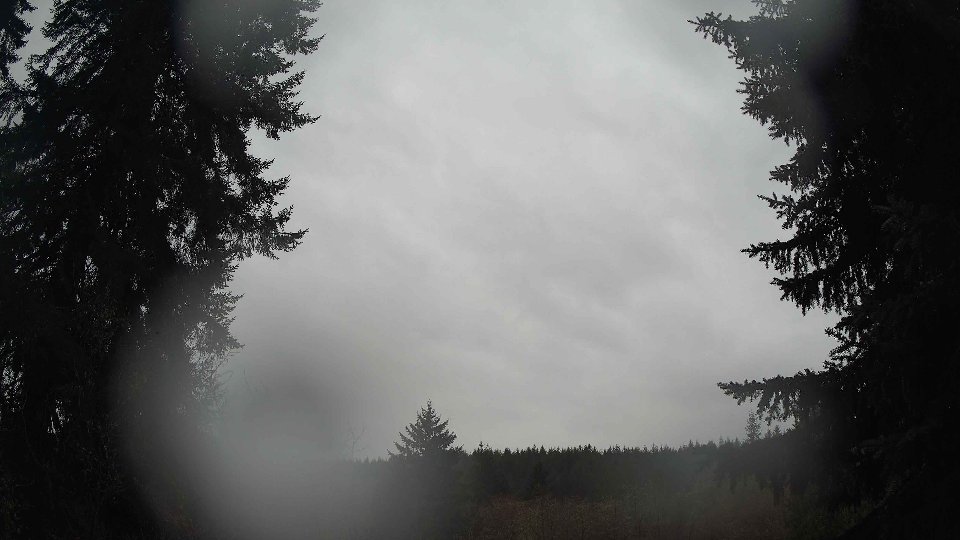
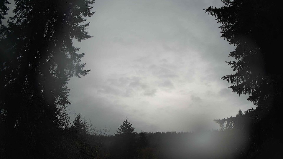
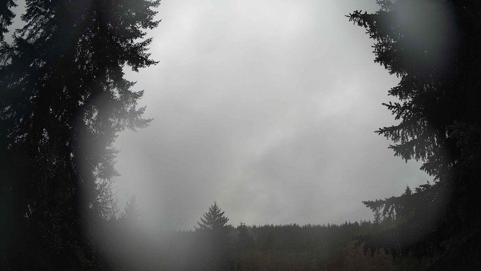
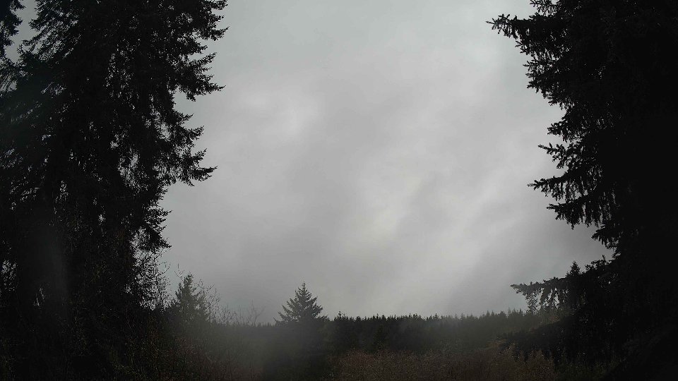
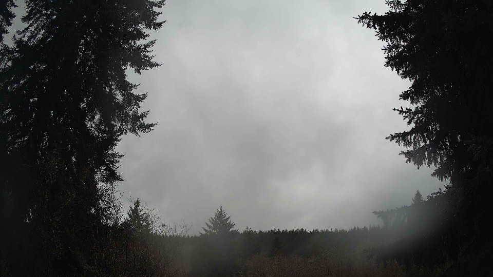
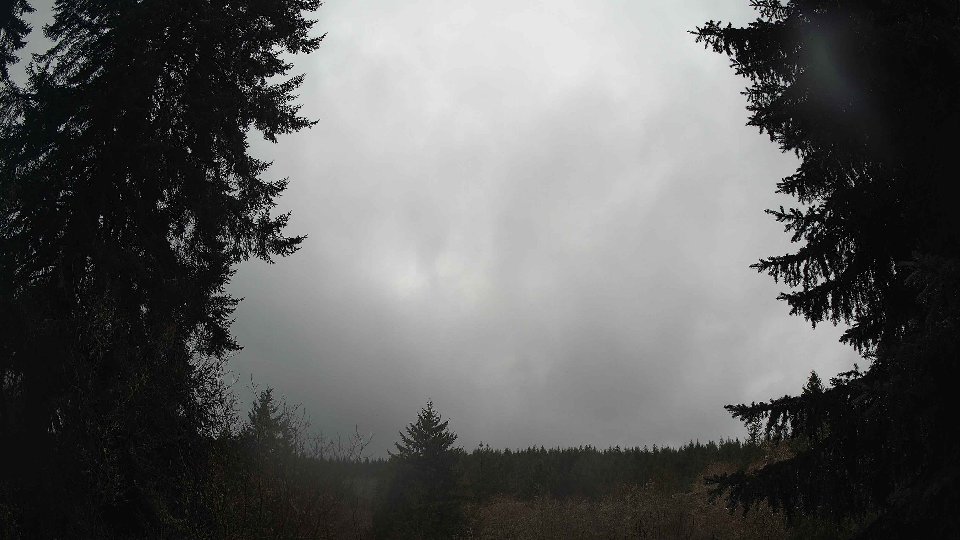
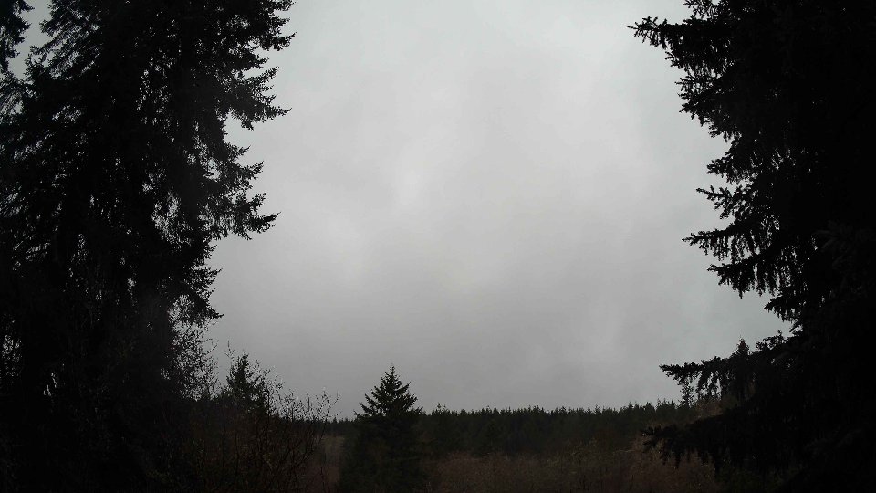
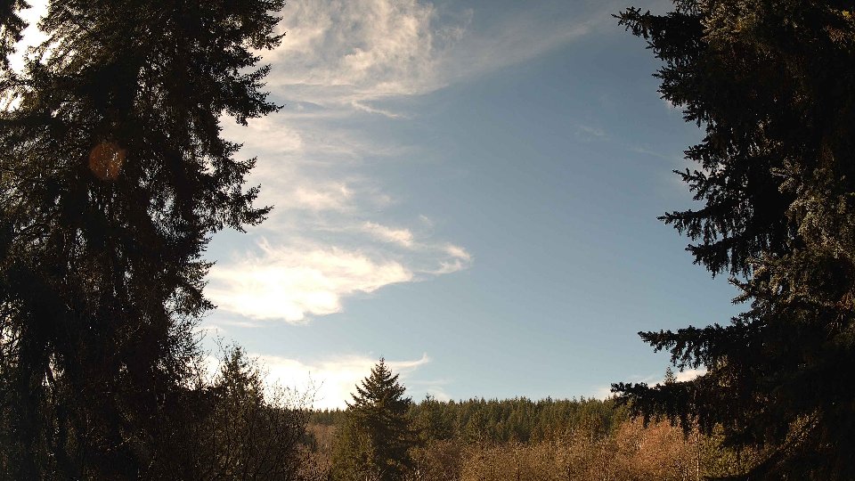
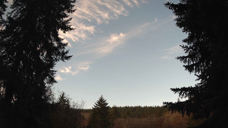
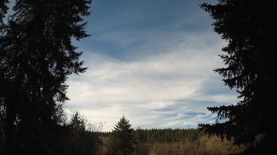
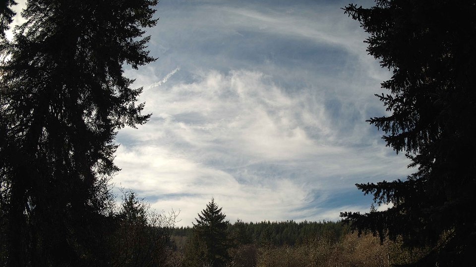
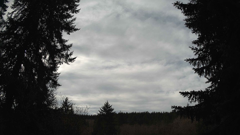
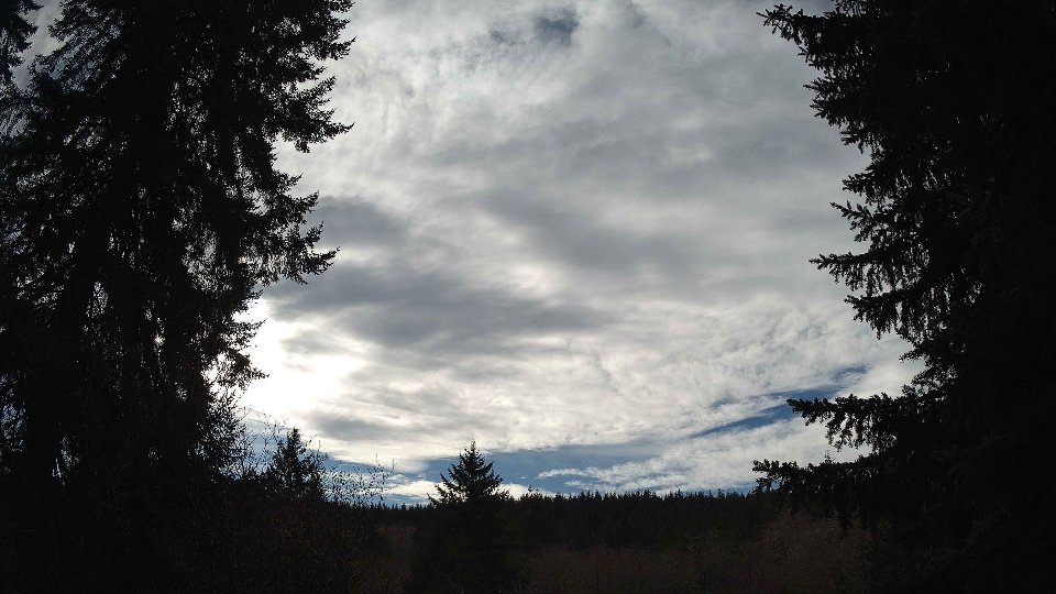
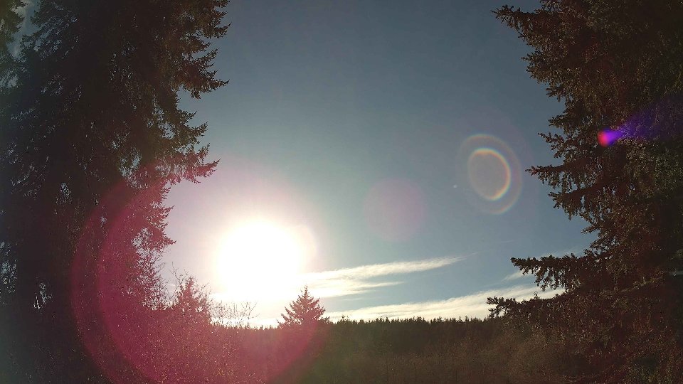
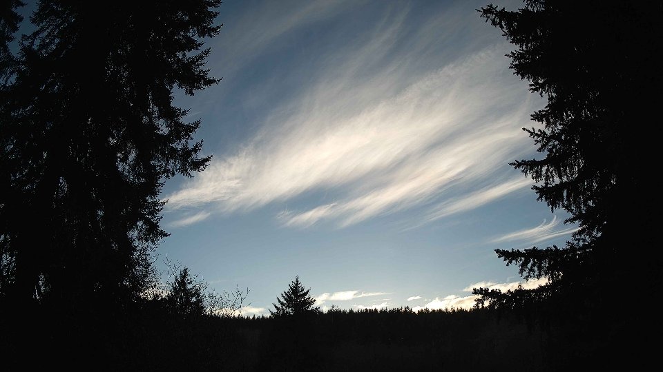
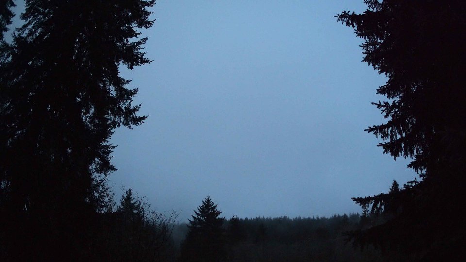
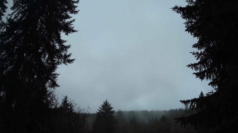
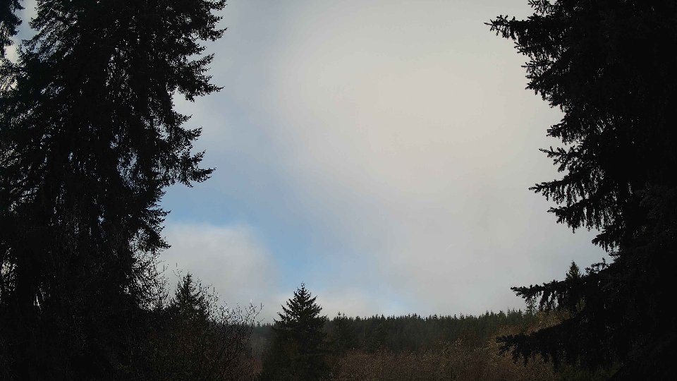
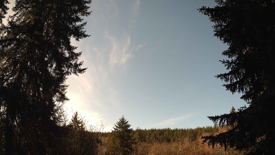
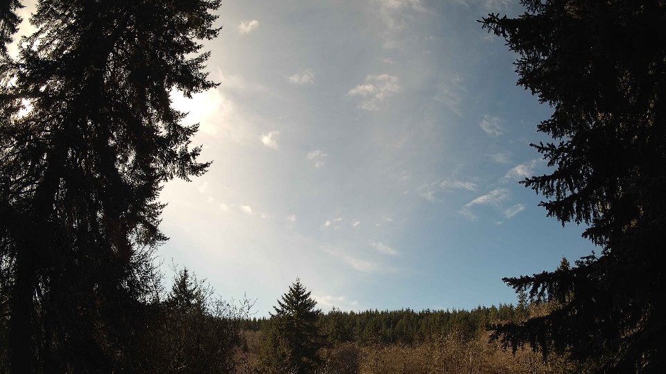
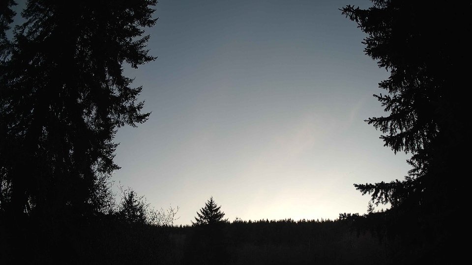
On February 14th, the day began under a thick blanket of clouds, with nearly complete cloud cover at 99 percent. The surface winds were light, averaging just 1.4 mph, providing little movement at ground level. However, as we moved up to 100 meters, the winds picked up slightly to 2.4 mph. This gentle breeze was hardly enough to shift the dense layers of low clouds, which comprised 59.2 percent of the total cloud cover, while mid and high clouds added to the overall gloom with respective coverages of 63.8 percent and 92.5 percent. The temperature hovered around a chilly 37.9°F, and there was no precipitation at this stage, but the atmosphere felt heavy and saturated, hinting at the possibility of rain as the day progressed. The light winds at both the surface and aloft were uniform, resulting in minimal turbulence and allowing the low clouds to drift slowly westward.
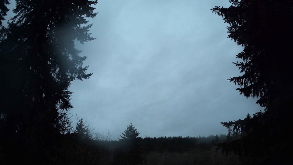
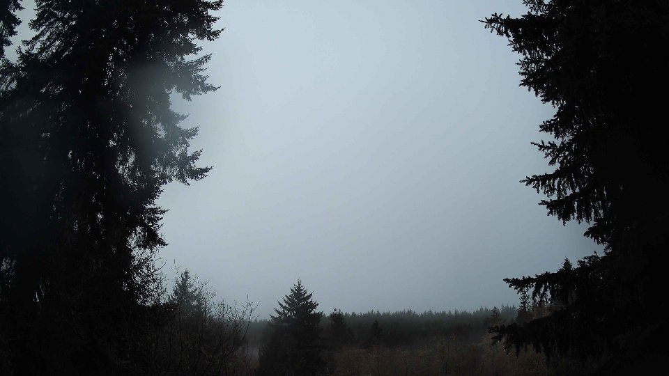
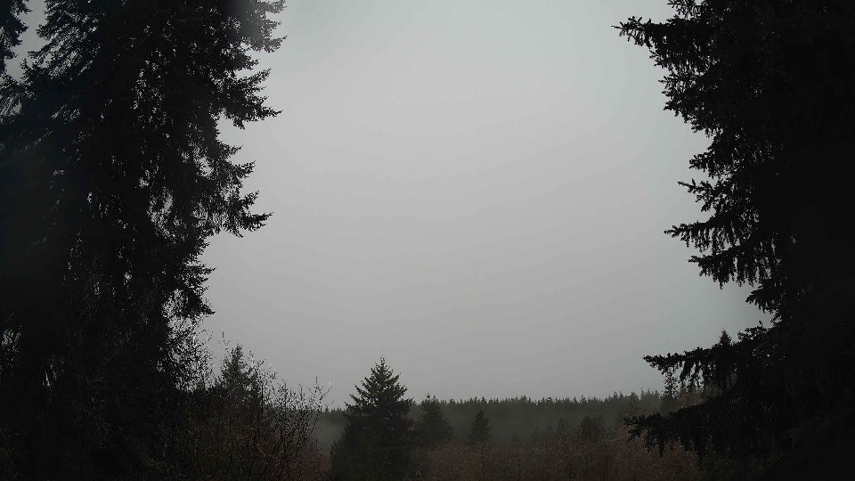
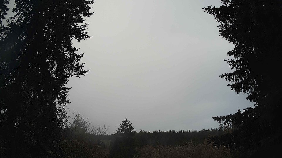
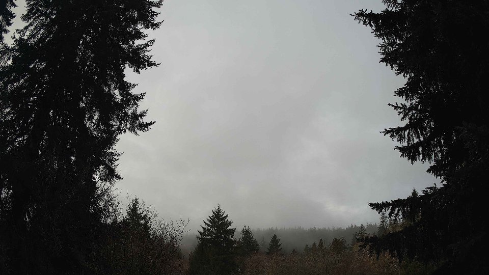
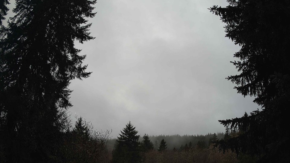
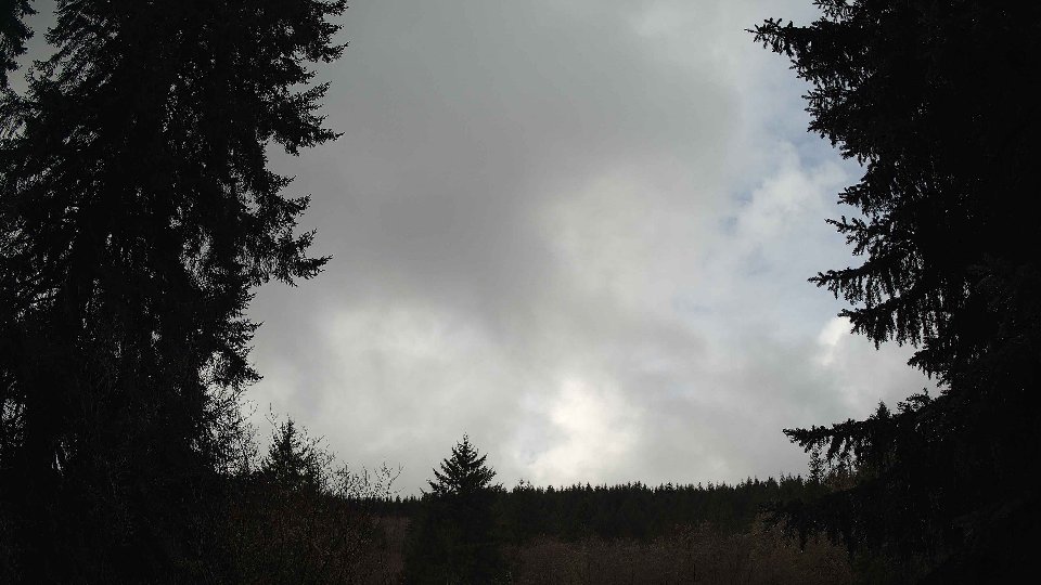
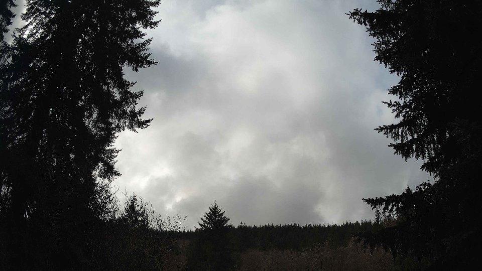
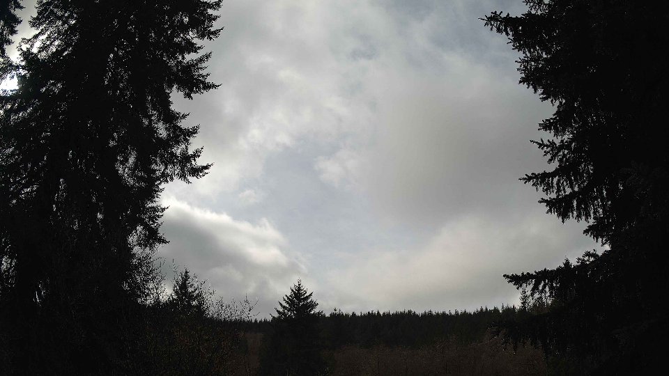
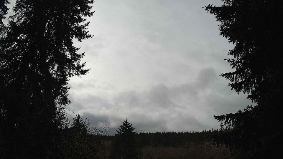
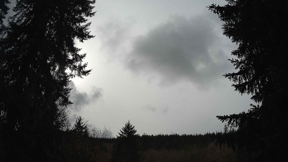
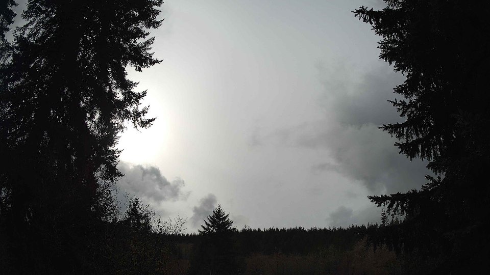
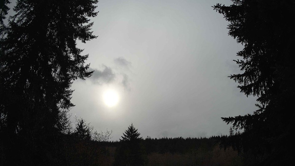
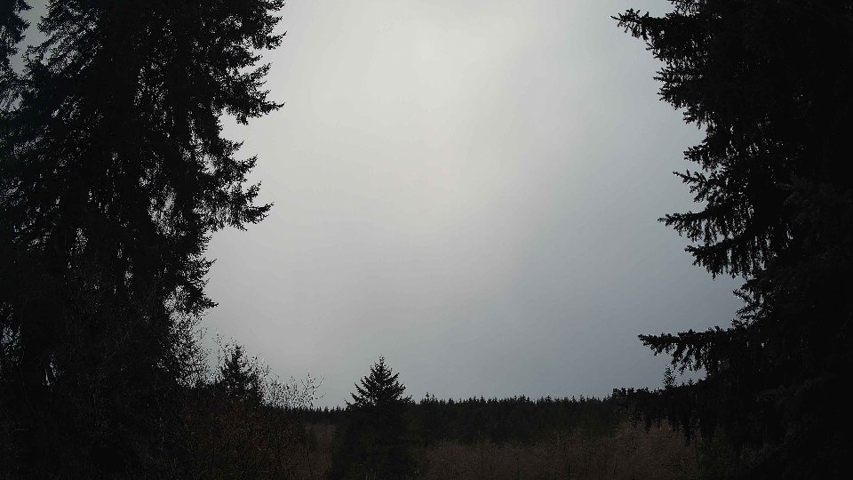
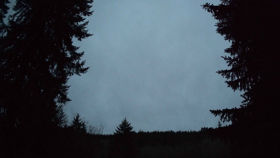
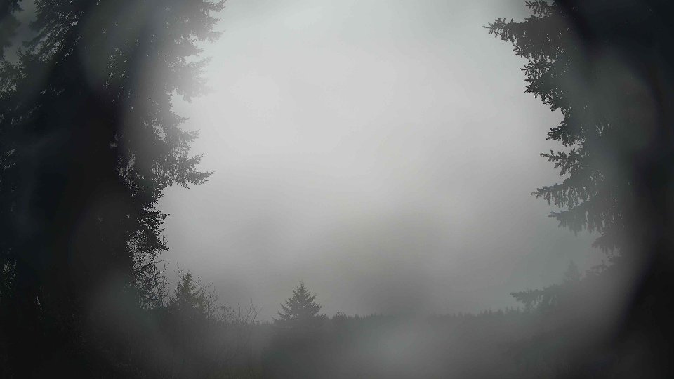
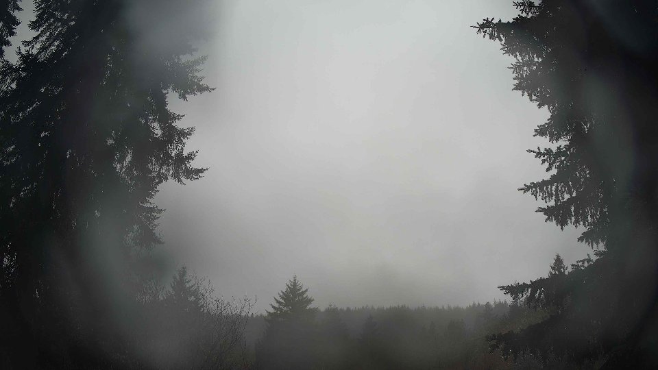
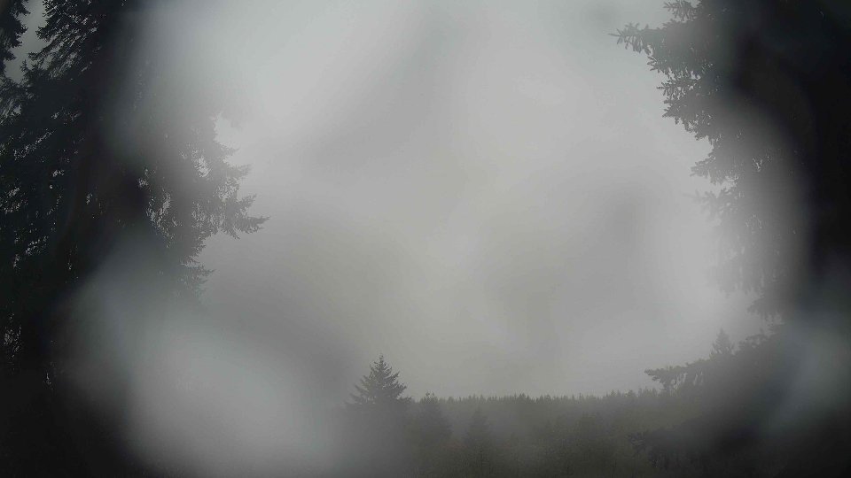
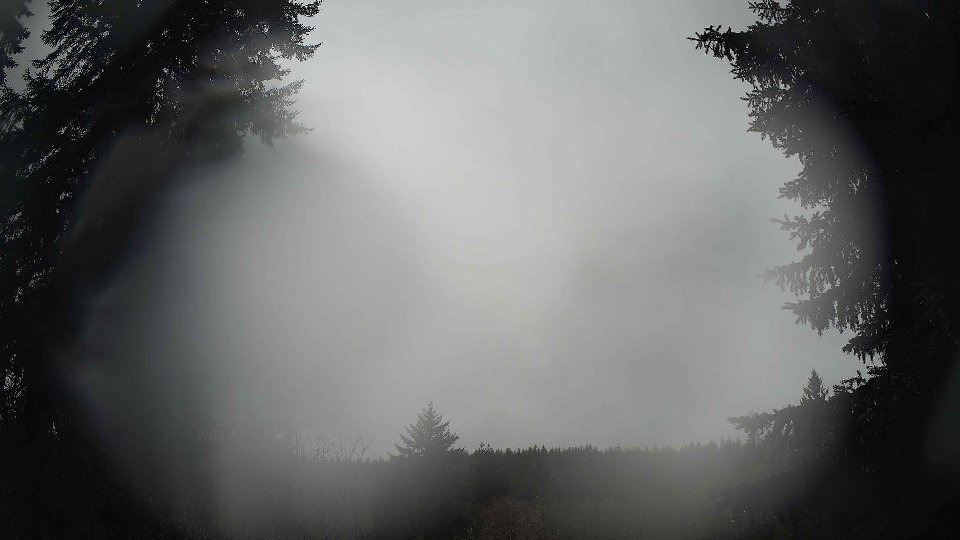
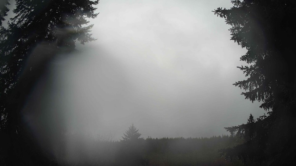
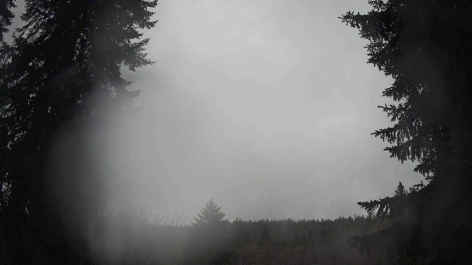
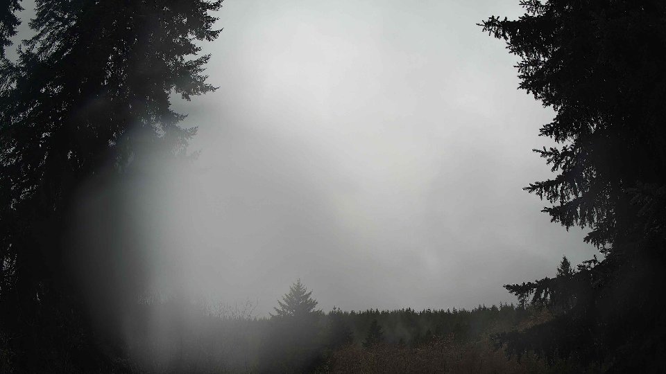
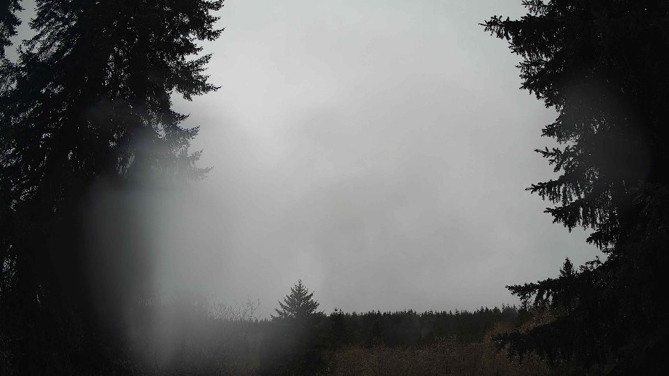
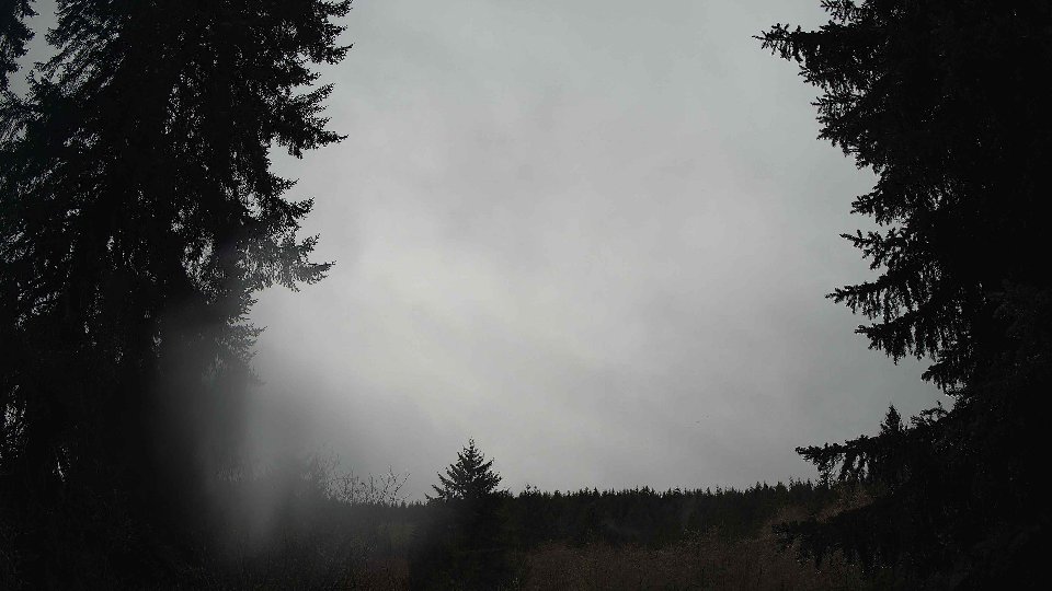
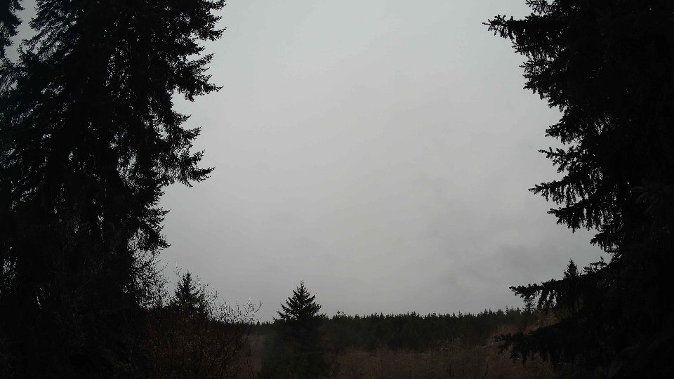
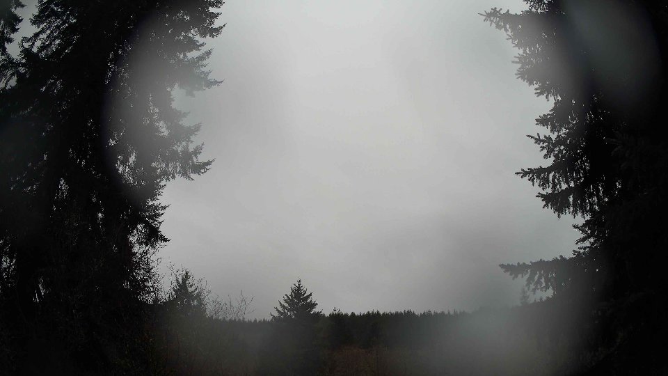
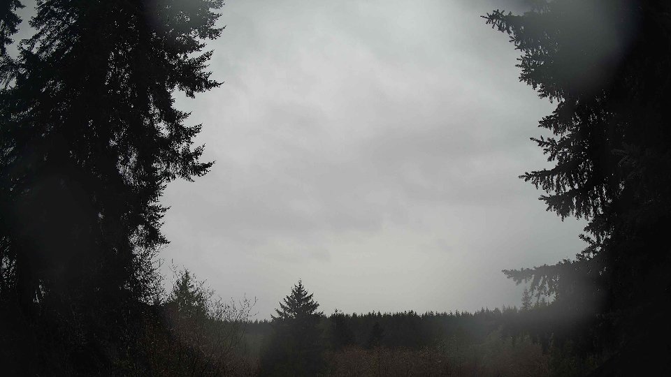
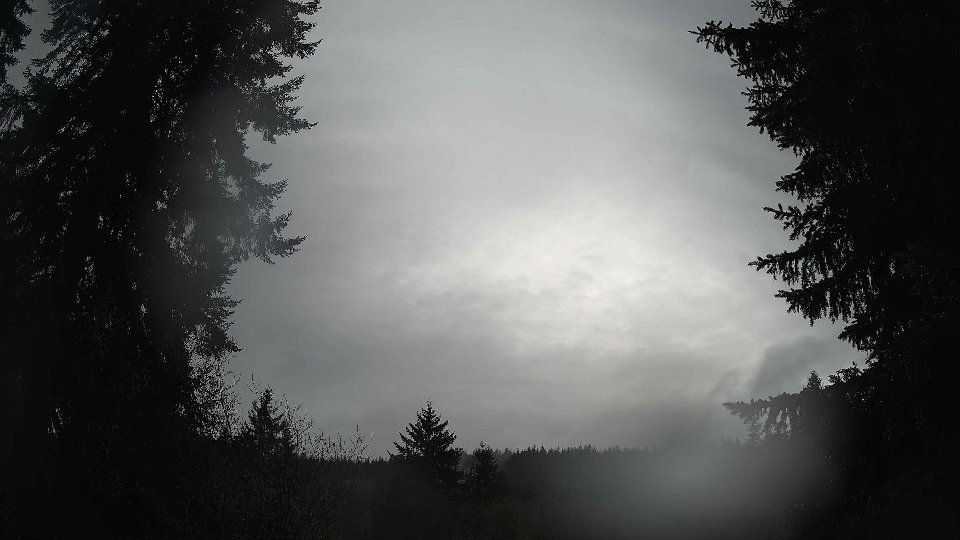
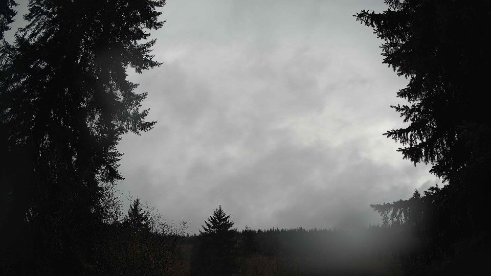
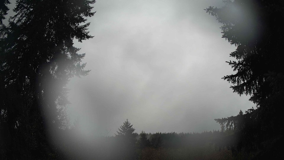
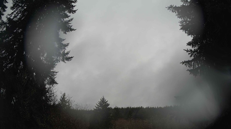
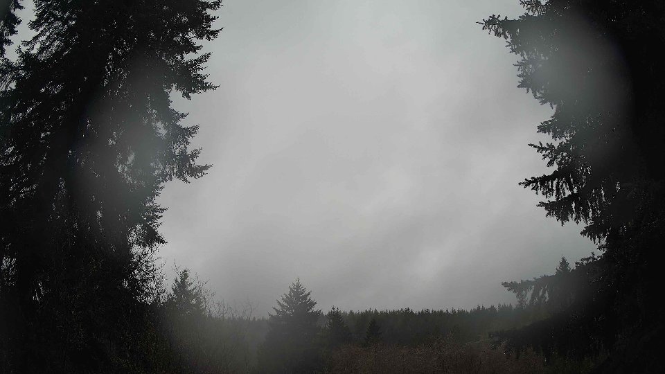
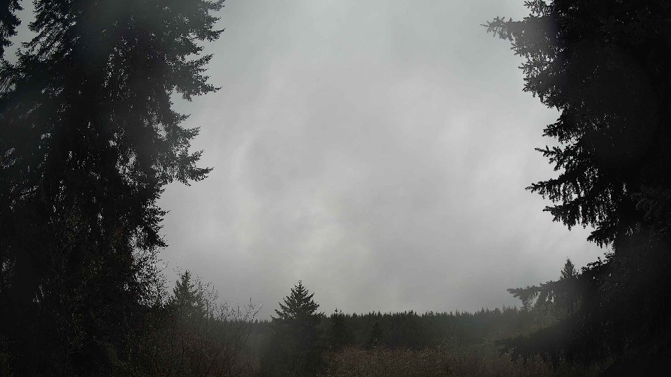
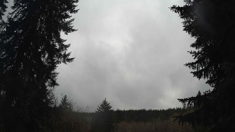
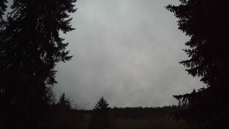
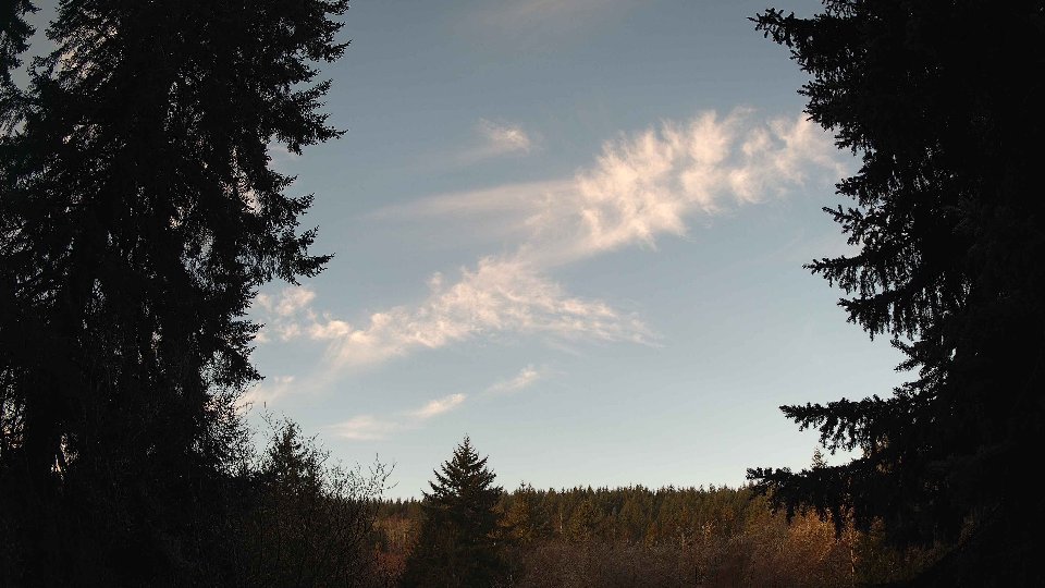
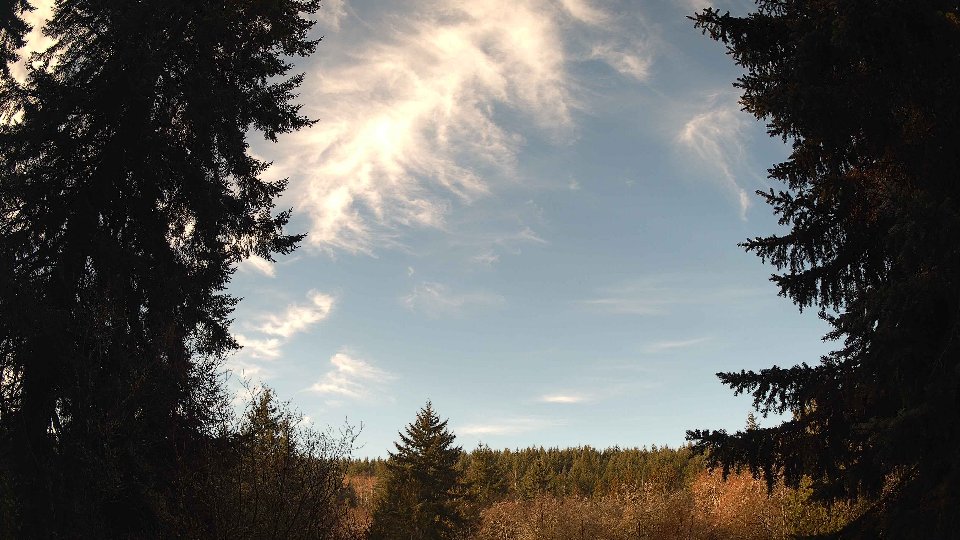
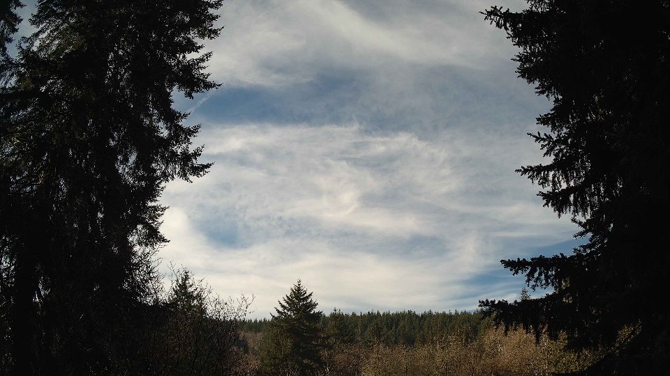
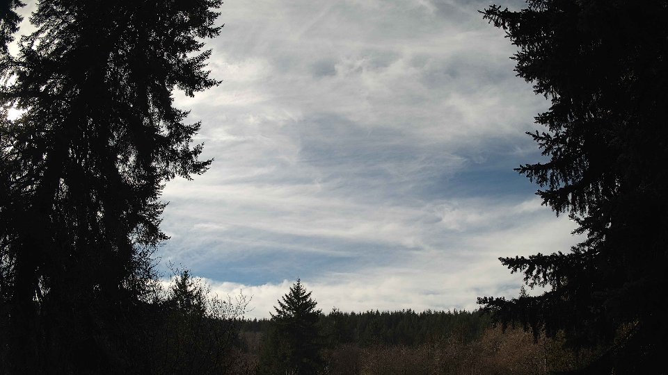
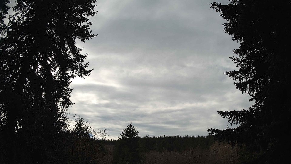
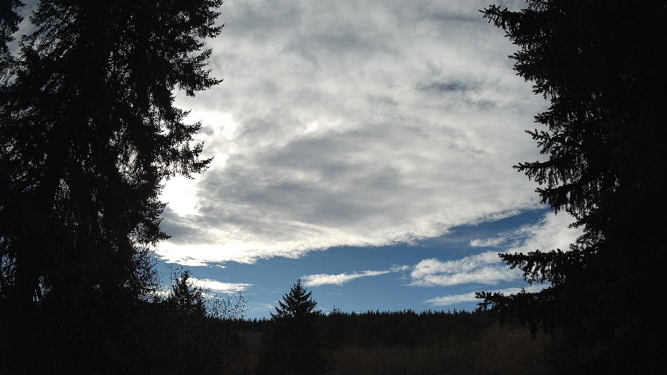
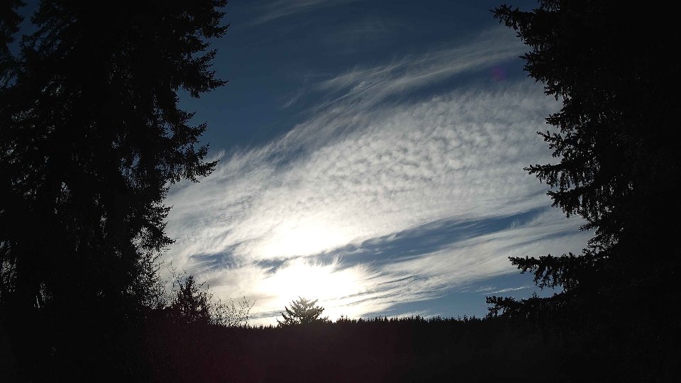
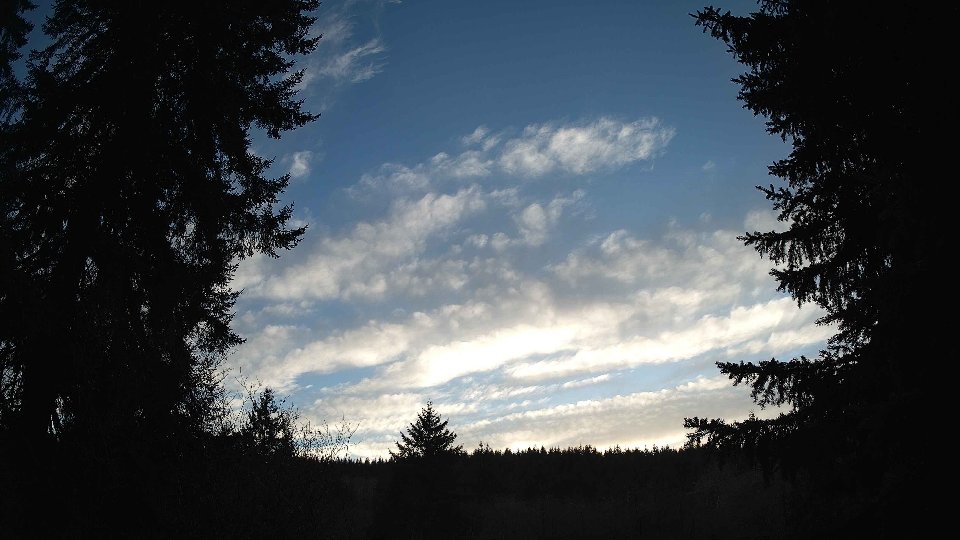
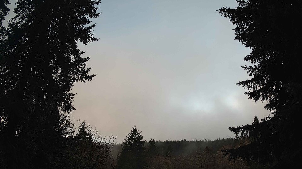
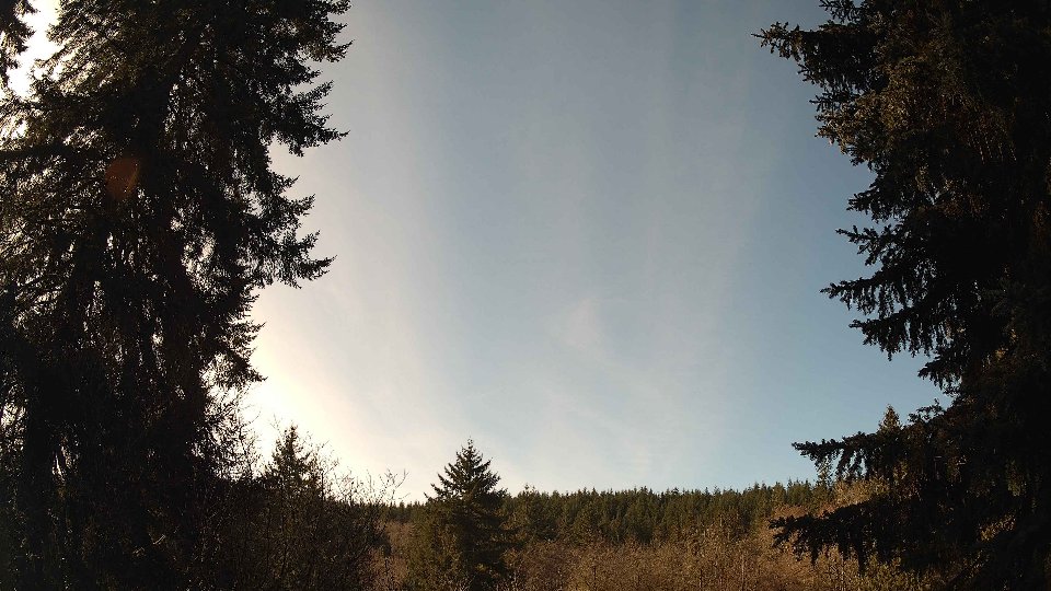
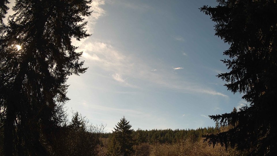
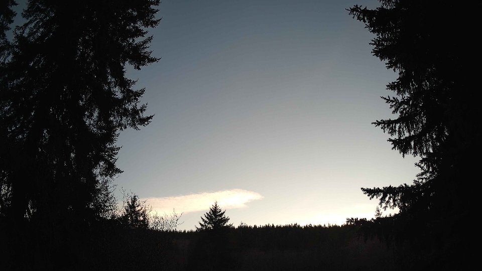
As midday approached, conditions became a touch more dynamic. The surface wind increased to an average of 4.4 mph, and winds at 100 meters climbed to 5.8 mph, indicating a subtle strengthening in the atmospheric flow. All clouds remained present, now contributing to a complete 100 percent coverage, with low clouds decreasing to 54 percent while mid clouds increased significantly to 79.8 percent. The high clouds completely filled the sky. The interaction of the gentle surface winds with the stronger aloft winds likely contributed to visible cloud dynamics, causing the mid-layer clouds to churn beneath the high clouds, leading to swirling patterns that added depth to the overcast scene. Overall, a total of 0.06 inches of precipitation began to fall as a light drizzle, a fitting accompaniment to the muted light filtering through the thick cloud layers.
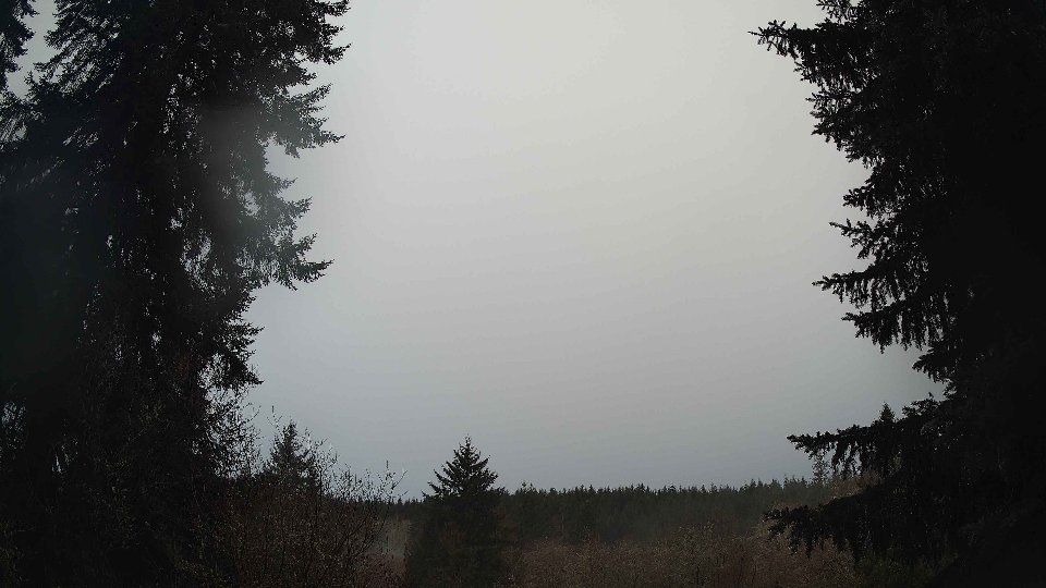
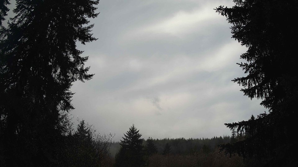
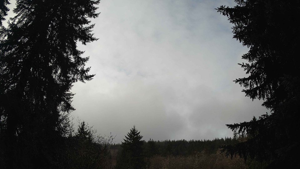
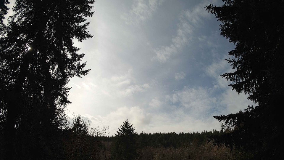
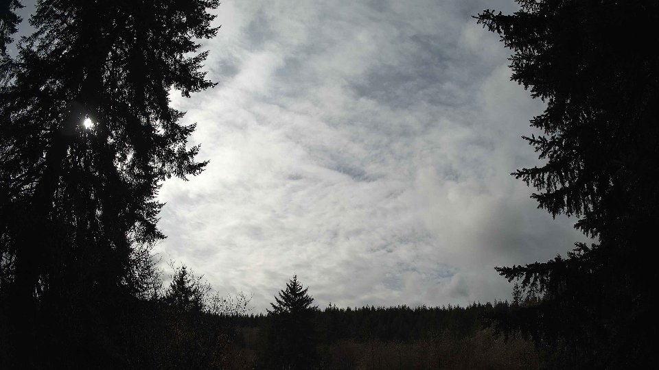
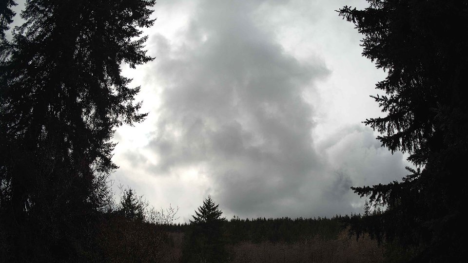
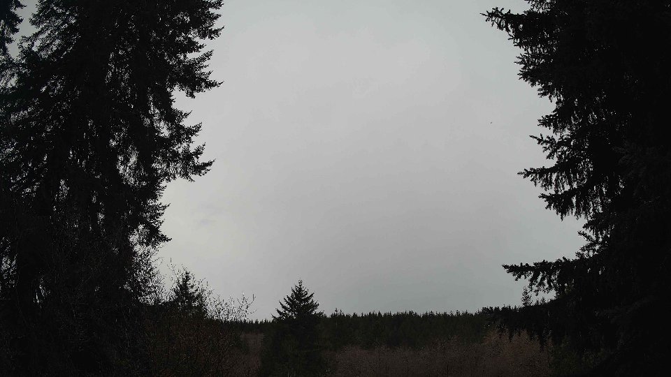
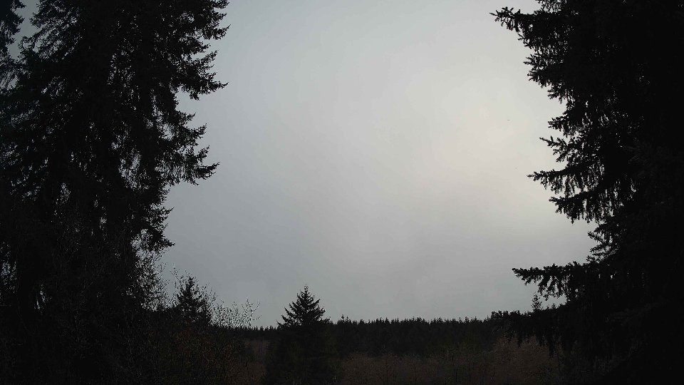
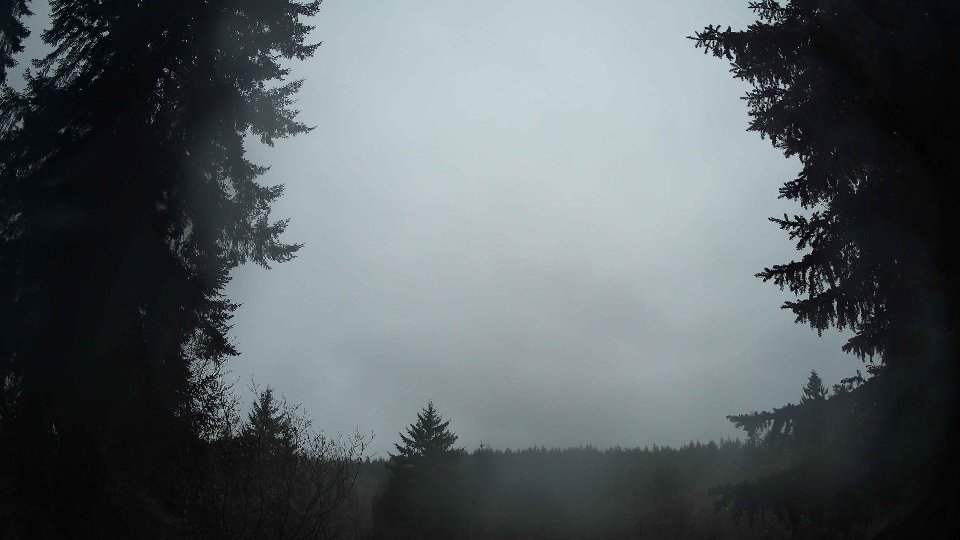
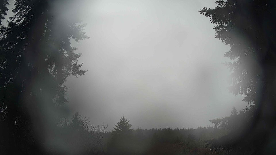
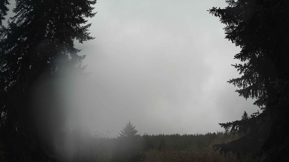
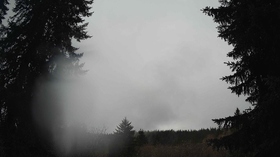
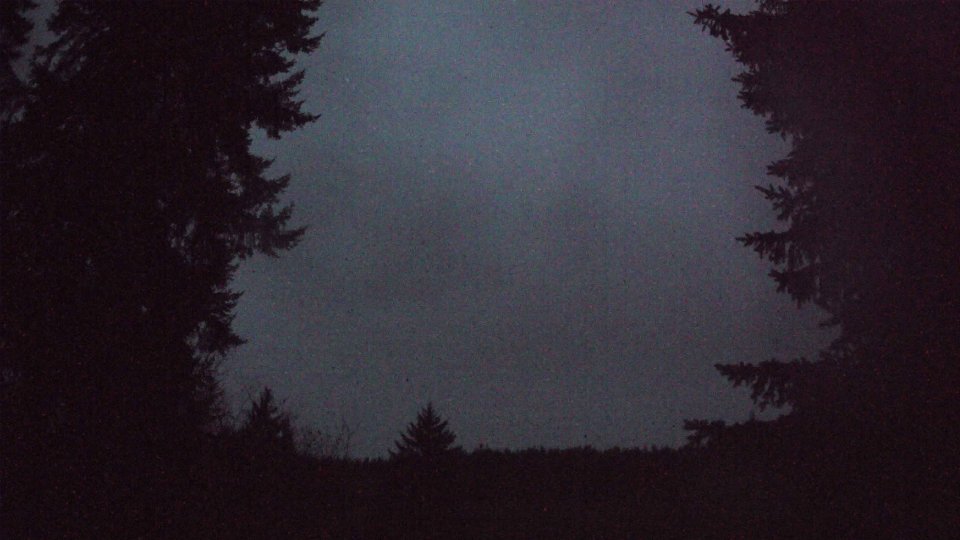
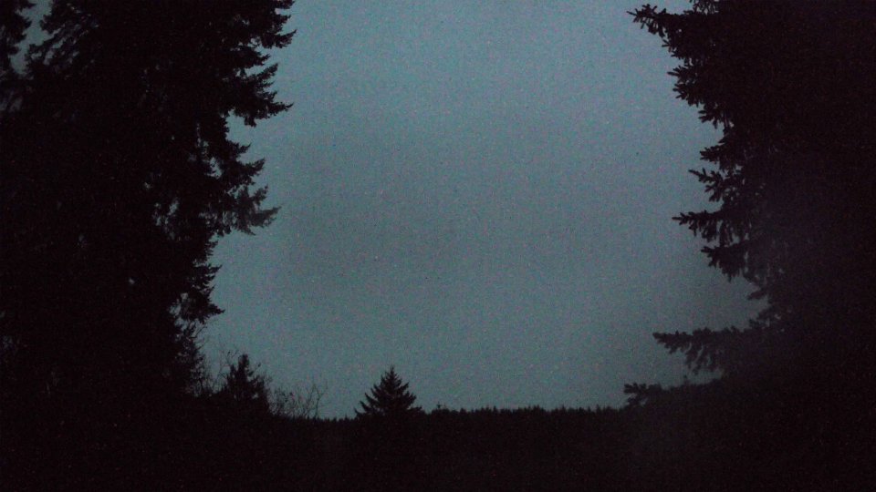
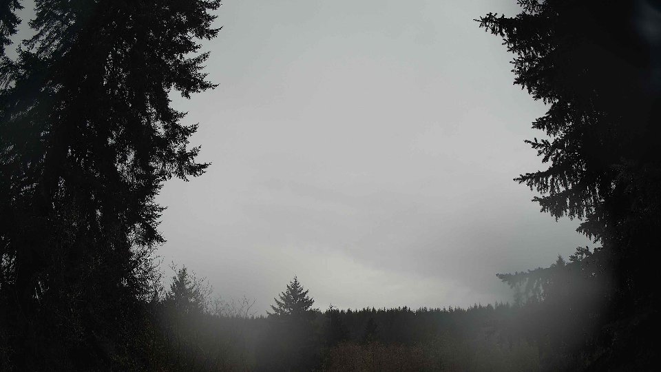
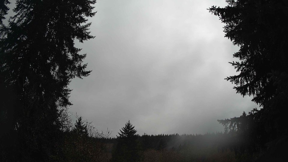
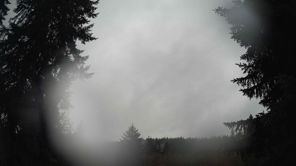
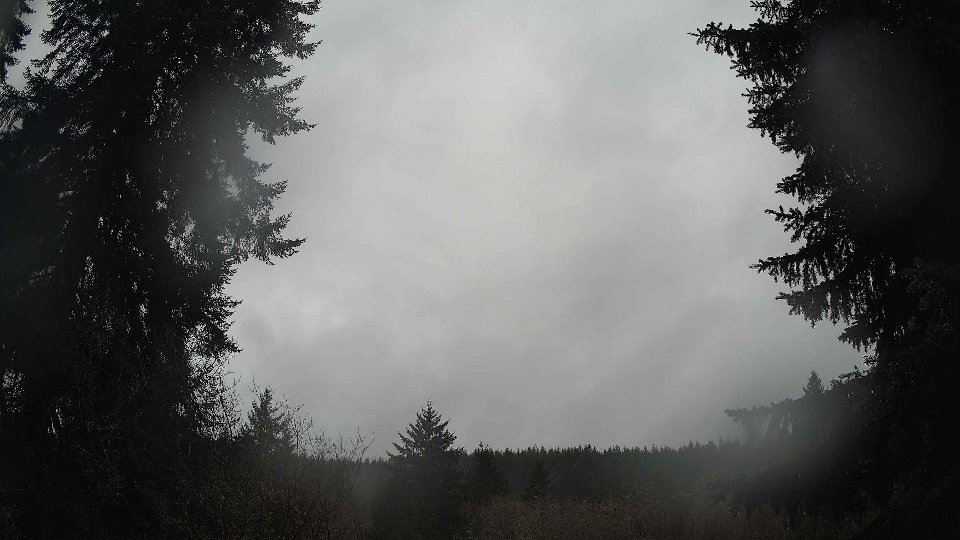
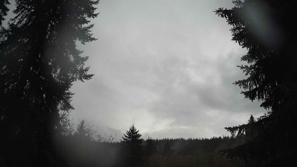
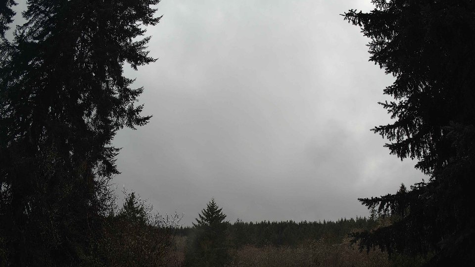
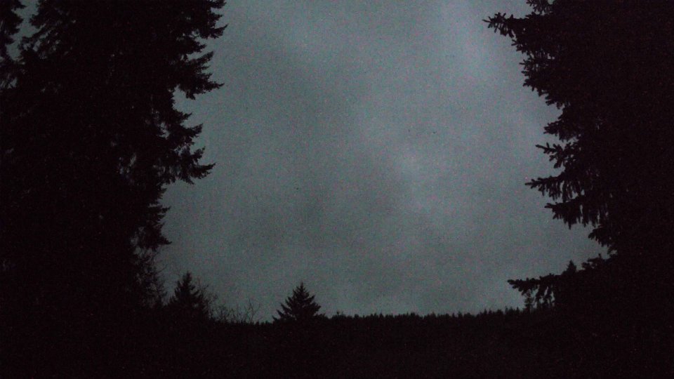
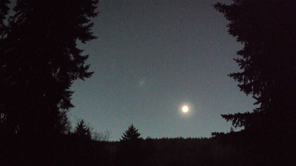
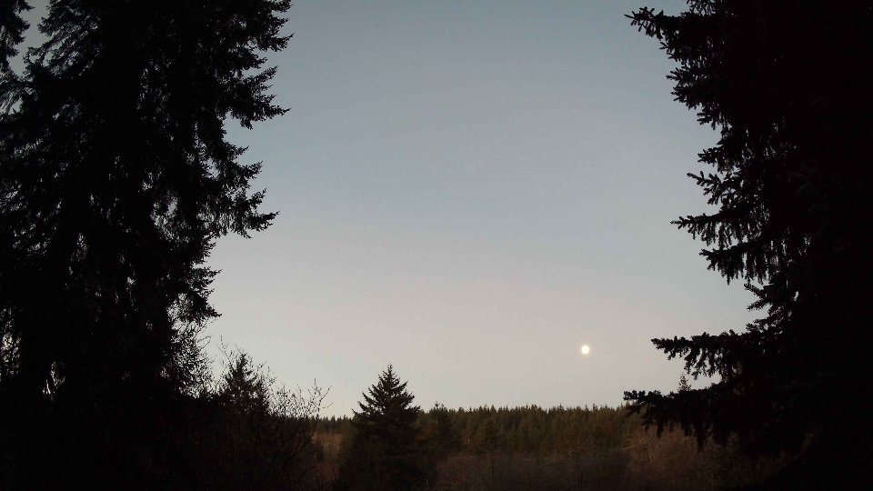
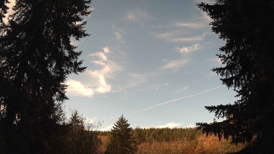
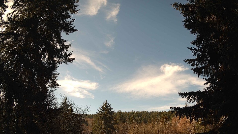
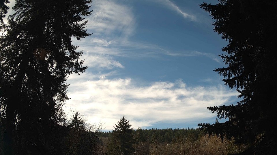
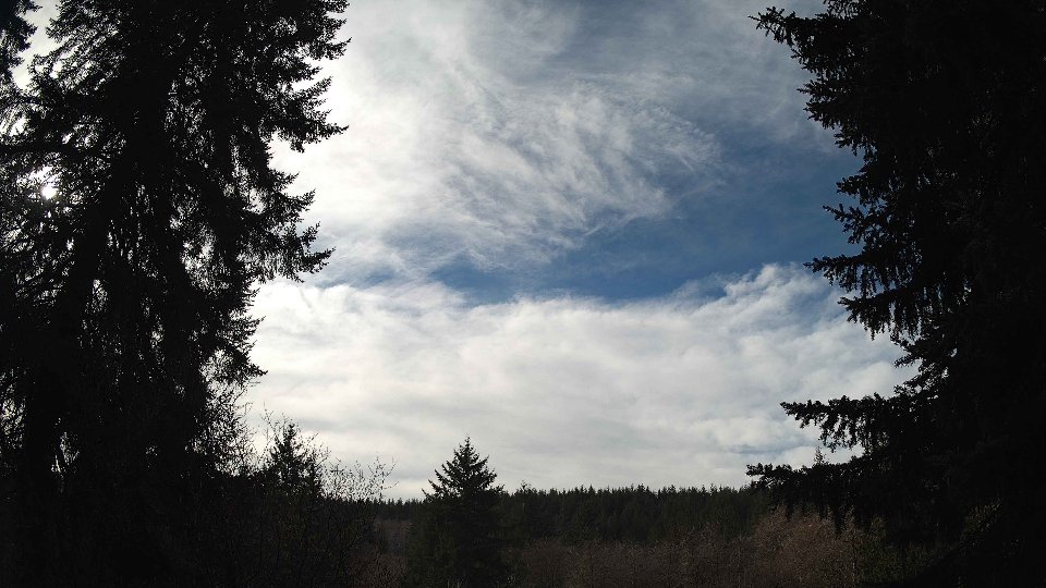
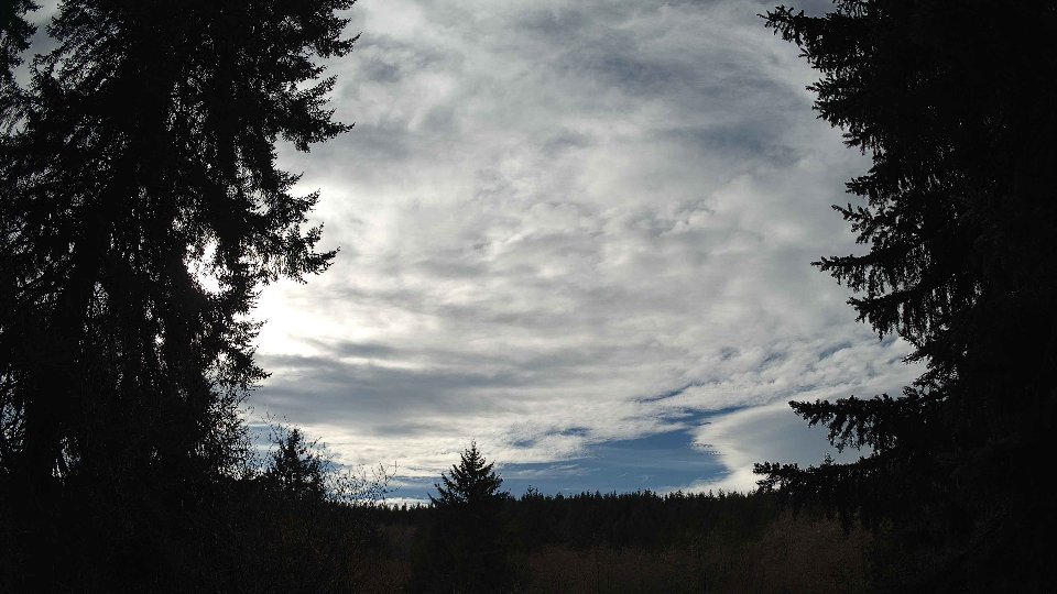
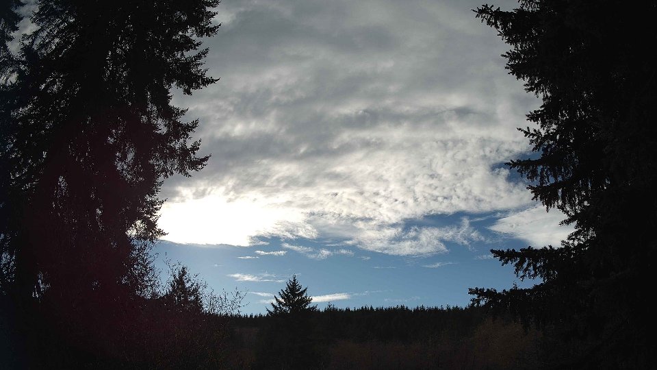
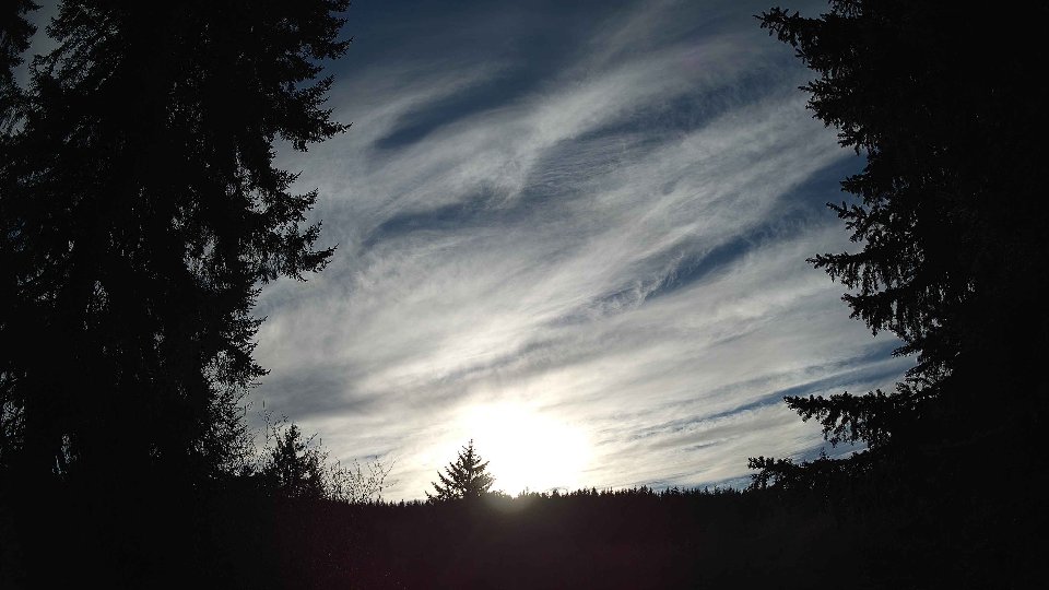
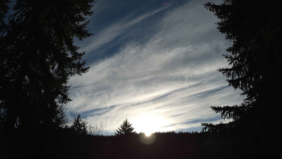
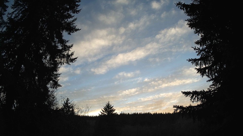
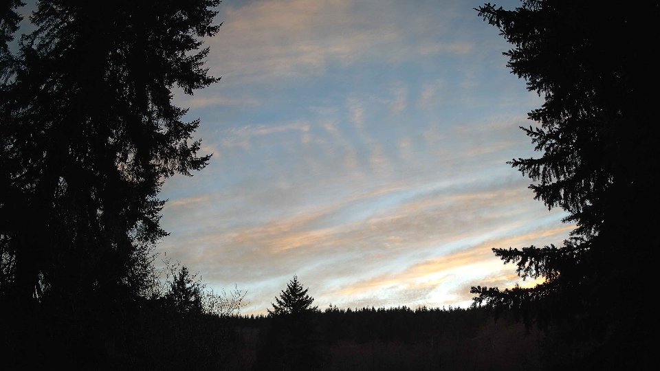
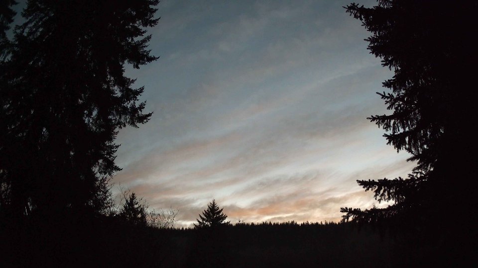
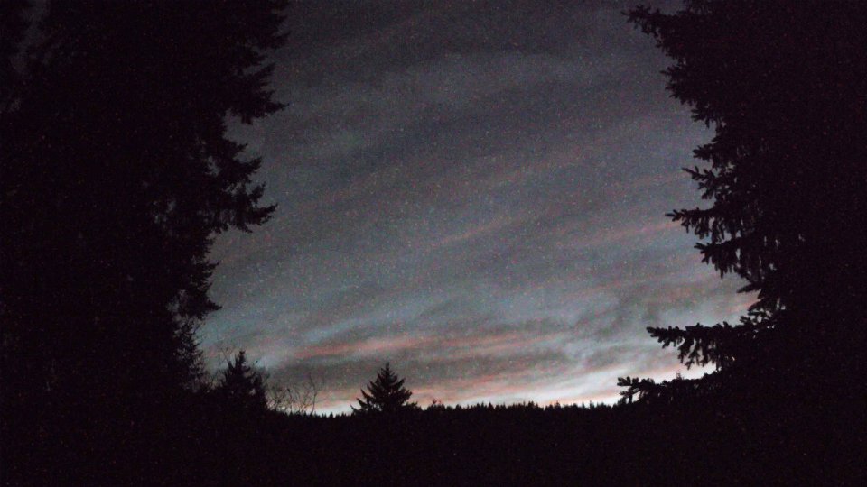
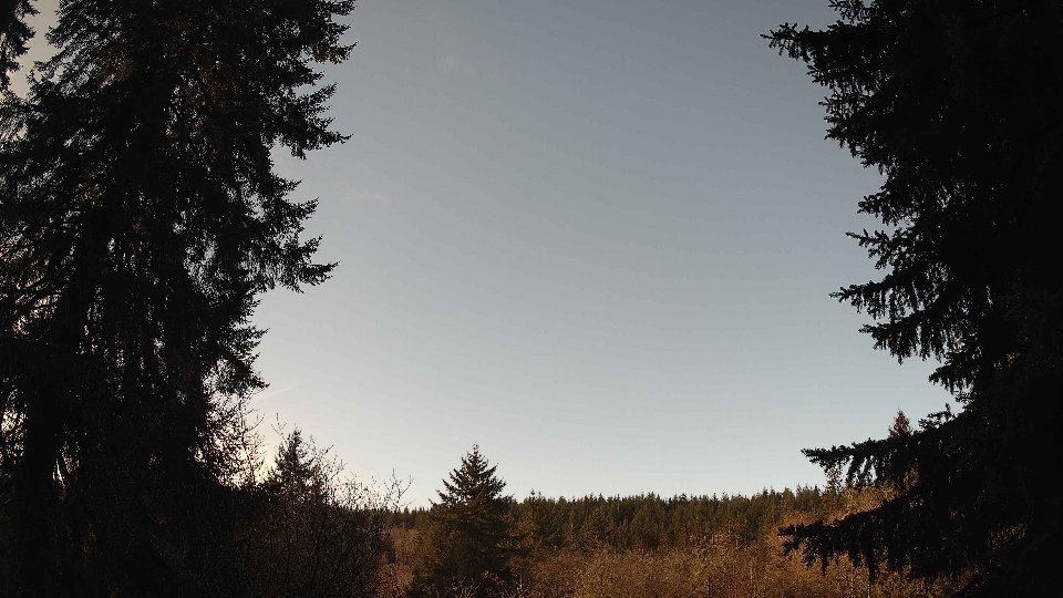
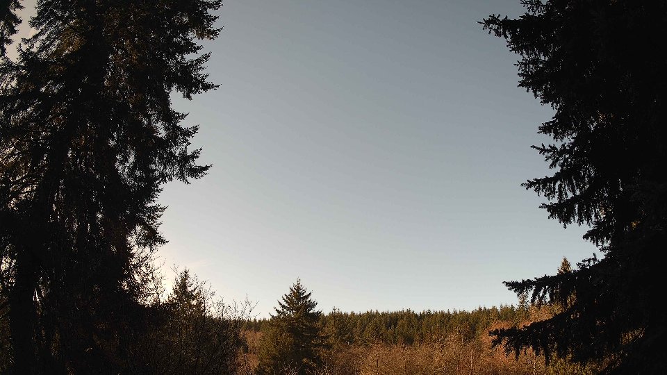
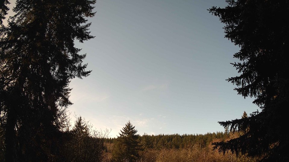
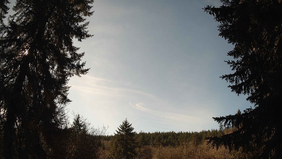
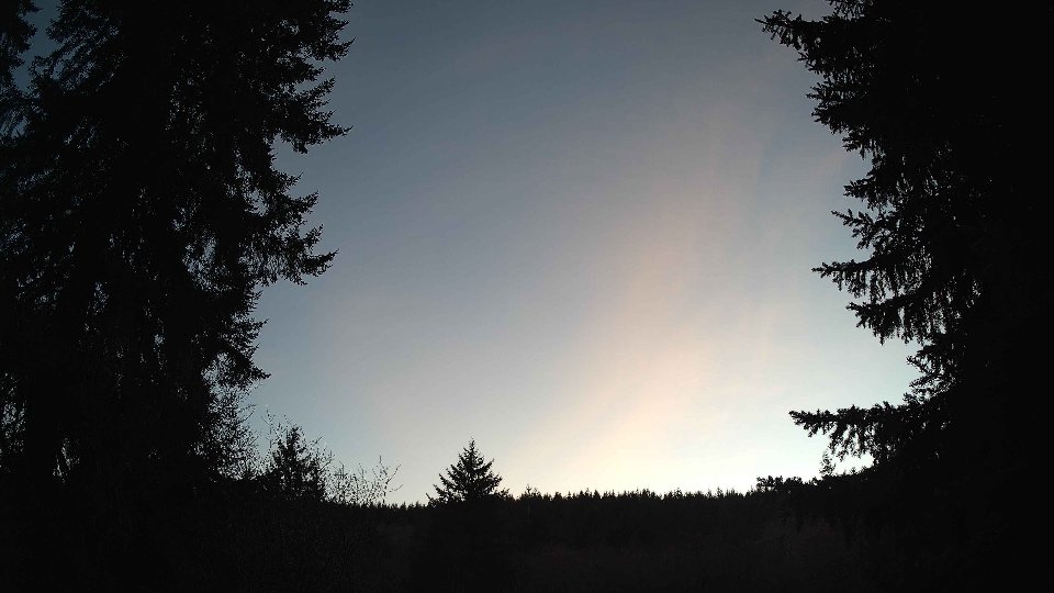
By evening, conditions had further evolved, maintaining a robust cloud cover of 100 percent while the surface winds picked up slightly to 5.6 mph and the winds aloft reached an average speed of 10.3 mph. The low clouds diminished dramatically to just 5 percent, suggesting a possible clearing trend, while mid clouds maintained their dominance at 100 percent, and high clouds remained prevalent at 99.5 percent. This layering created a striking visual effect in the sky, with mid-level clouds moving quickly against the slower, more static high clouds above. The increase in wind speed at altitude likely resulted in wind shear, creating turbulence that stirred the cloud formations, causing them to shift and swirl. The temperature remained stable at 45.6°F, signaling the end of the day while leaving a lingering softness in the air, as this day of variable weather slowly transitioned into night.
February 14th, 2026 Timeline
Screenshots with weather data (wind layers, clouds, precipitation)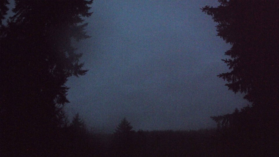


Weather Info for February 14th, 2026
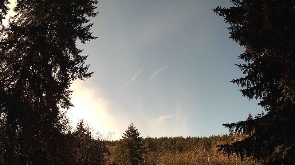
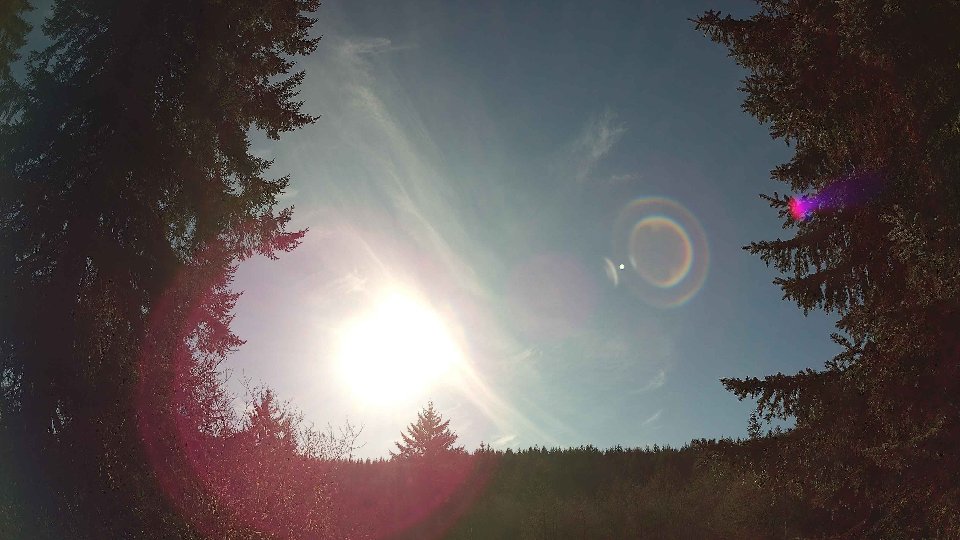
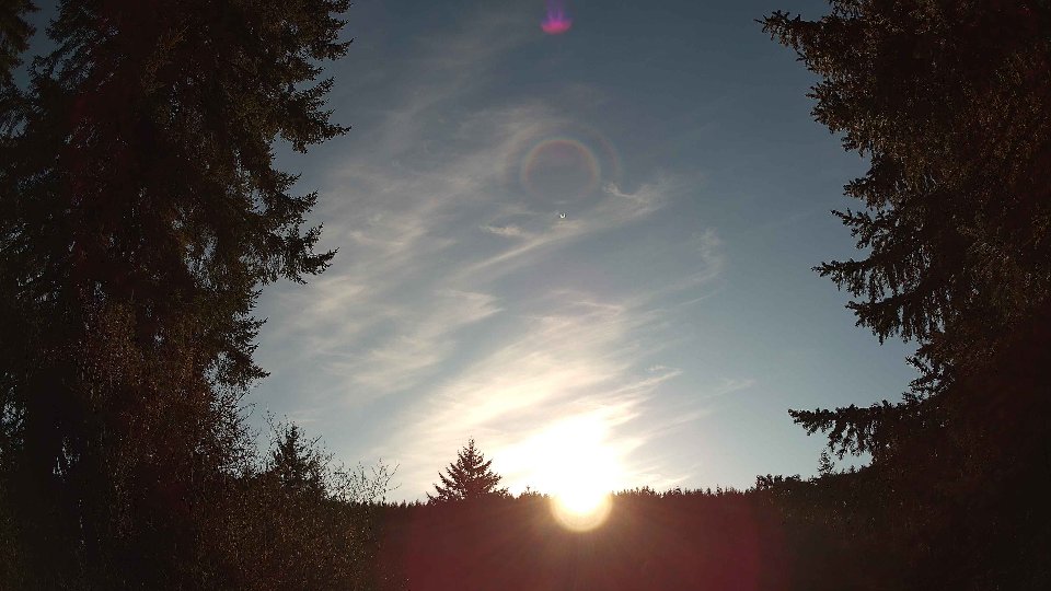
Sunset: 5:36 PM