February 16th, 2026 Timelapse
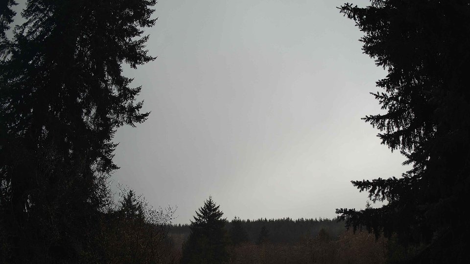
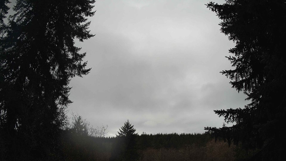
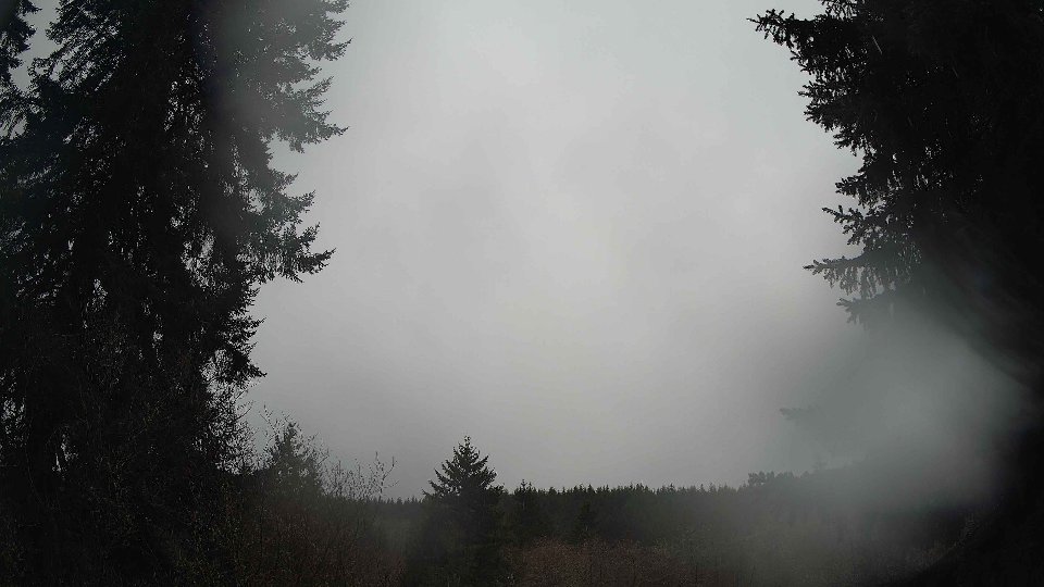
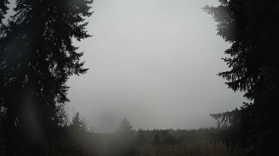
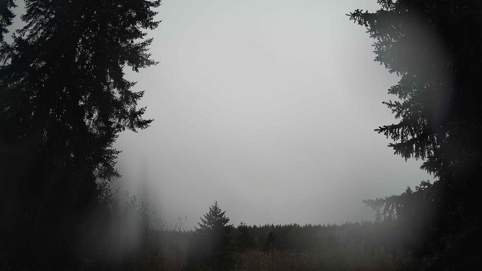
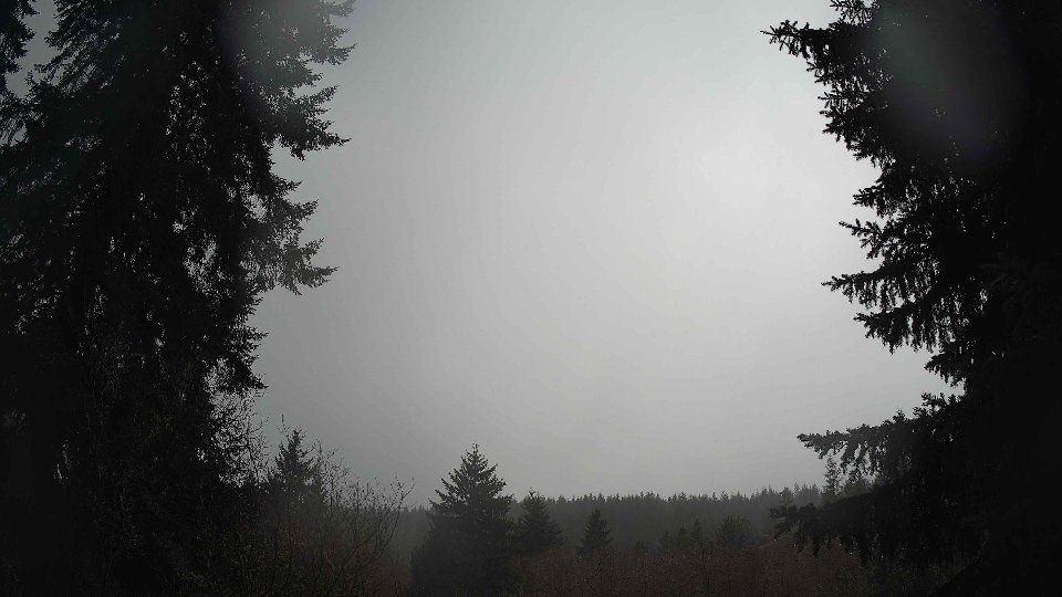
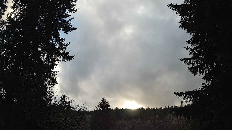
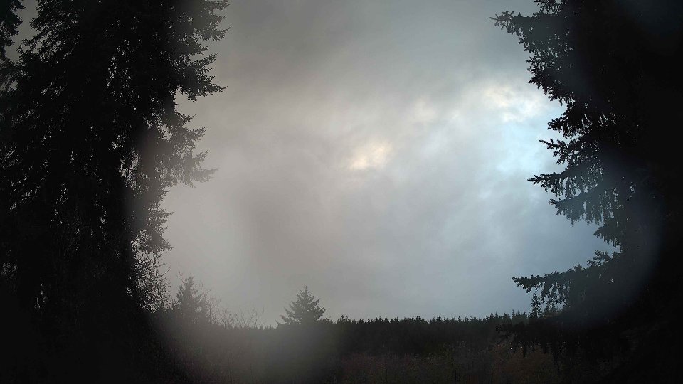
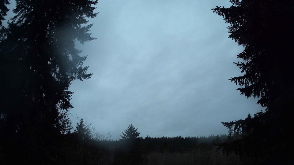
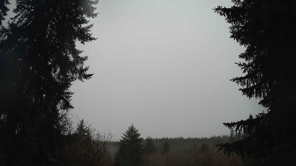
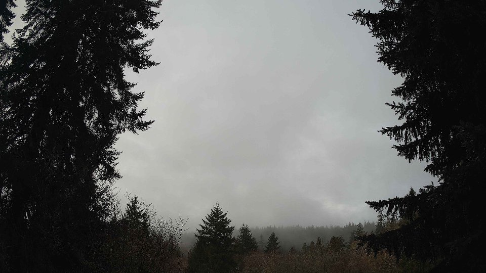
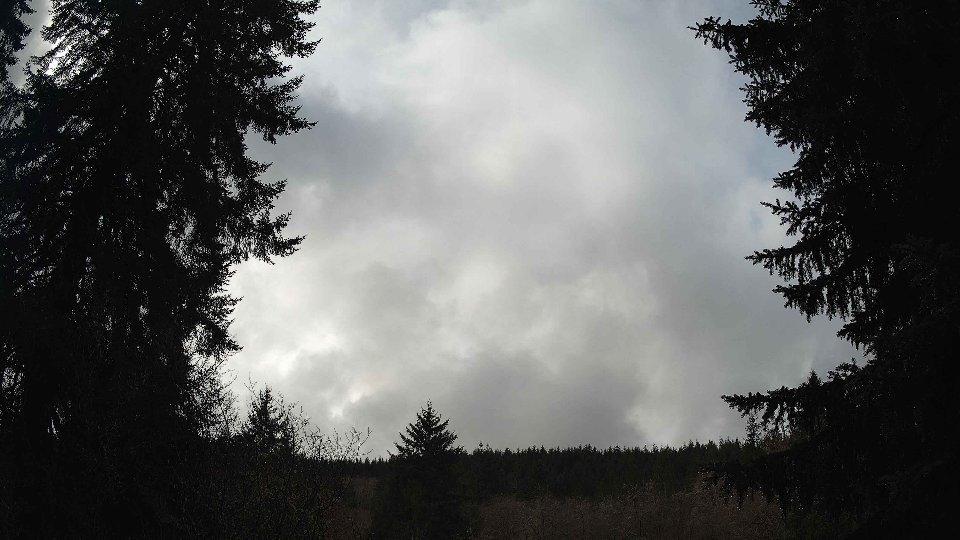
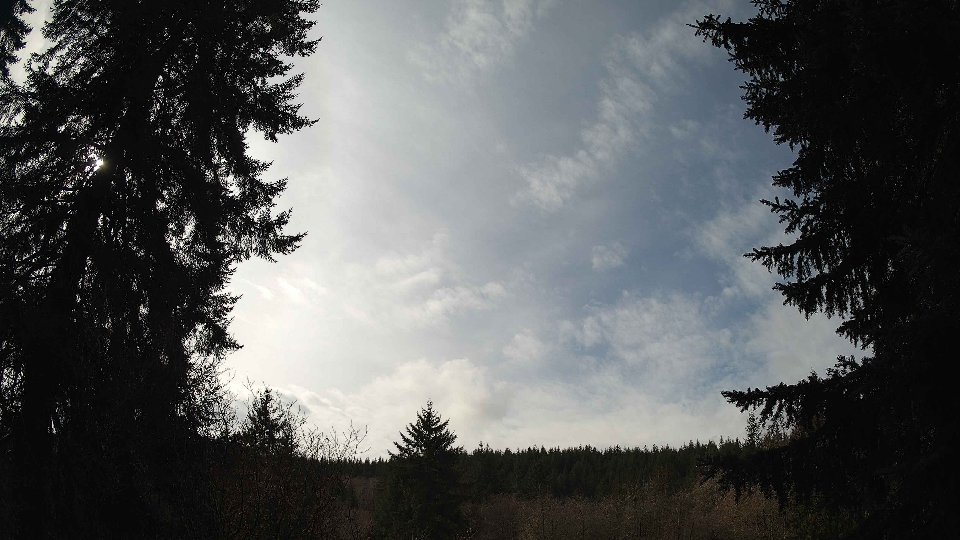
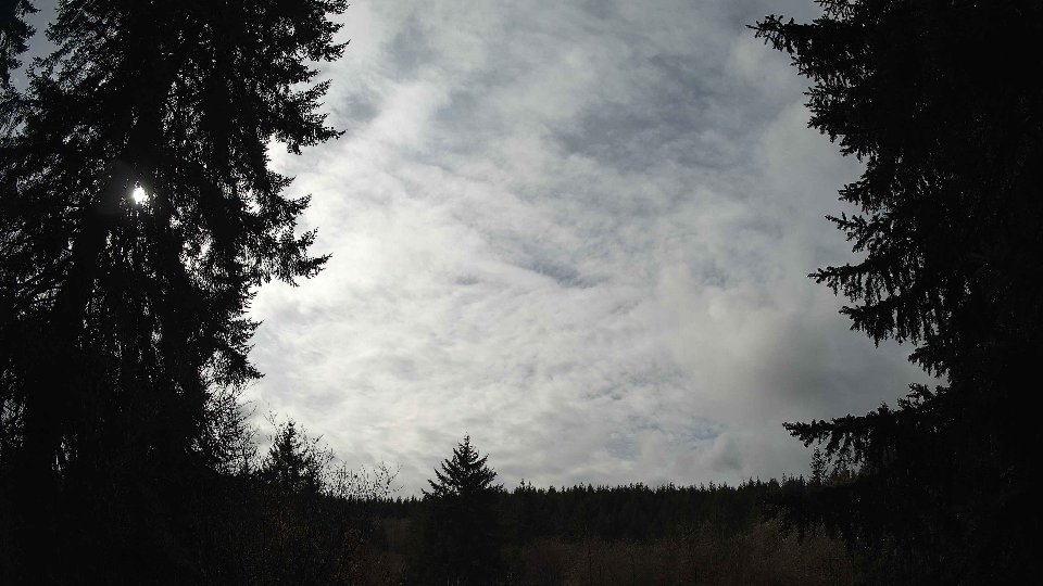
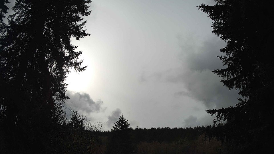
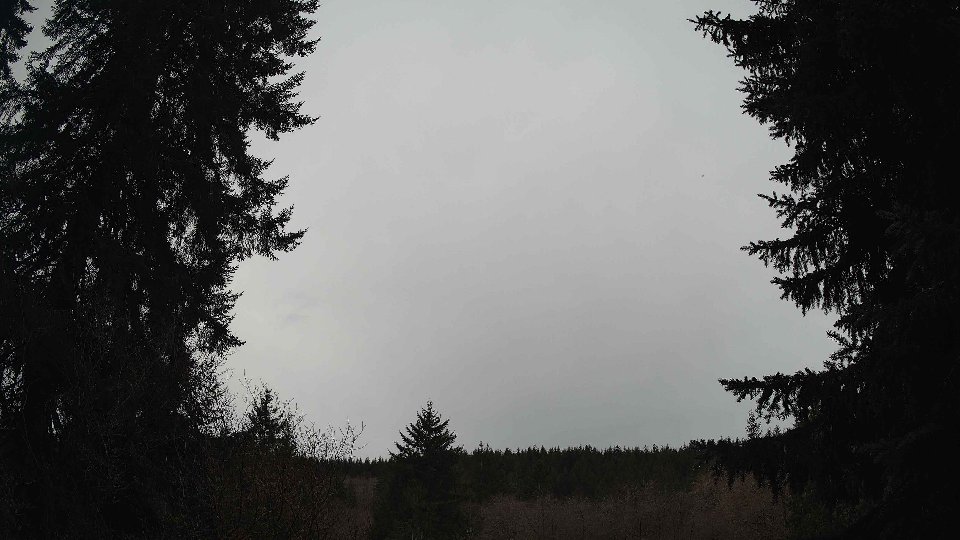
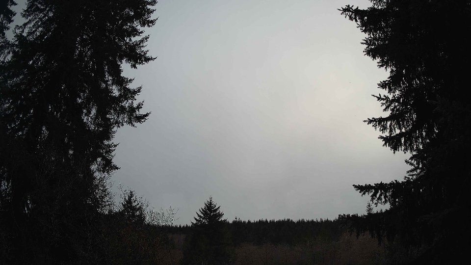
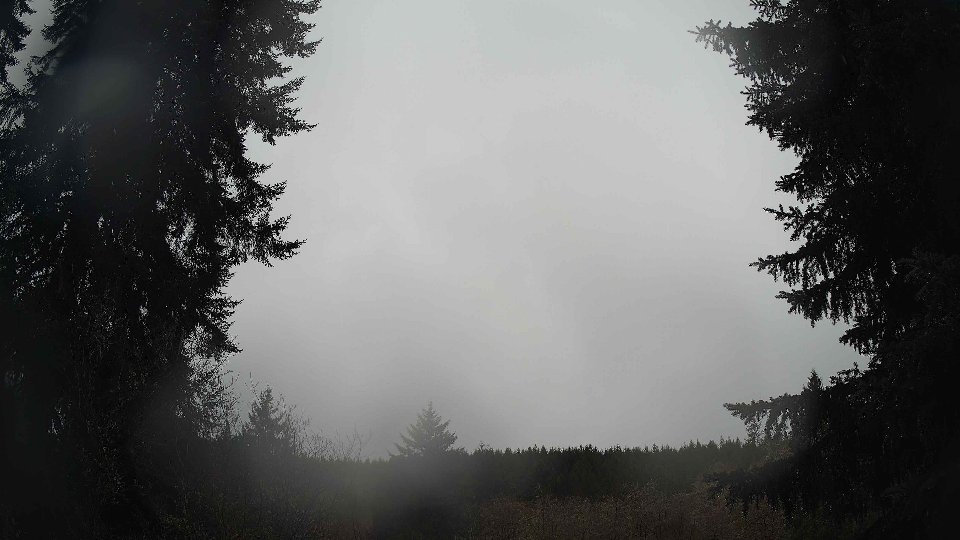
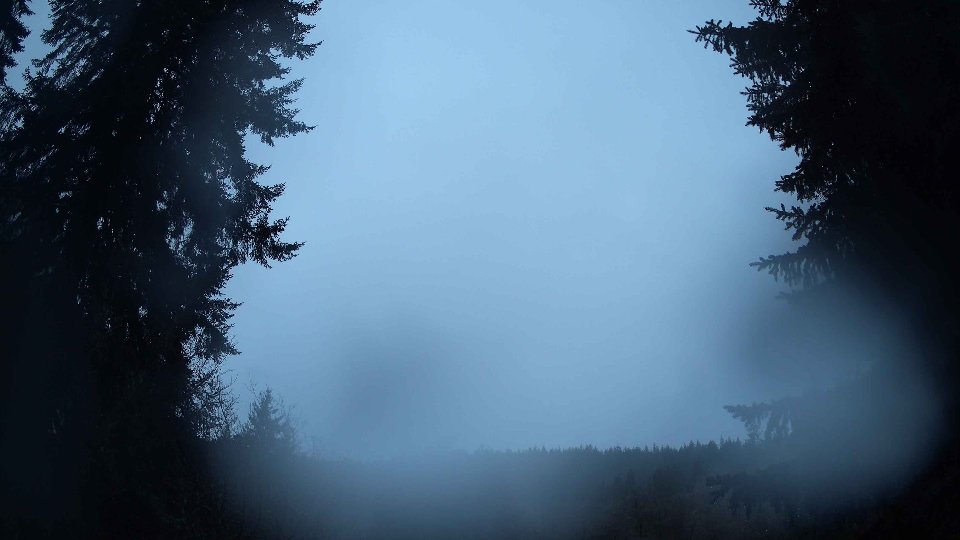
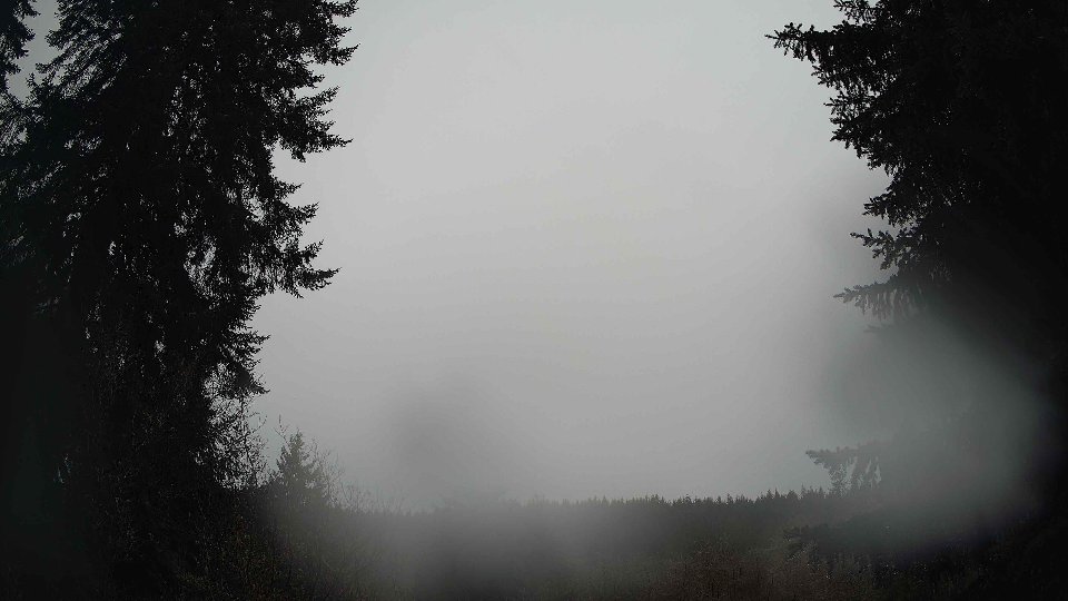
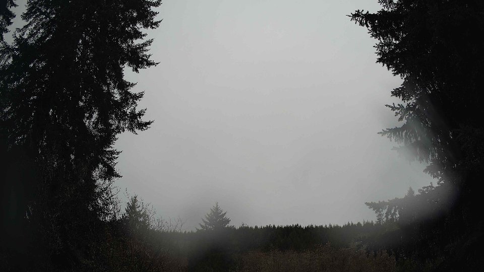
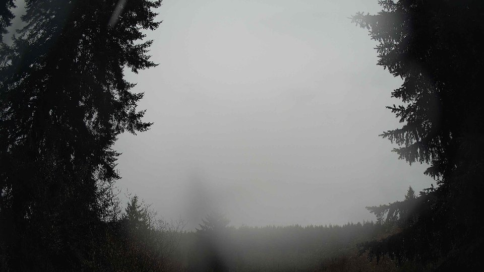
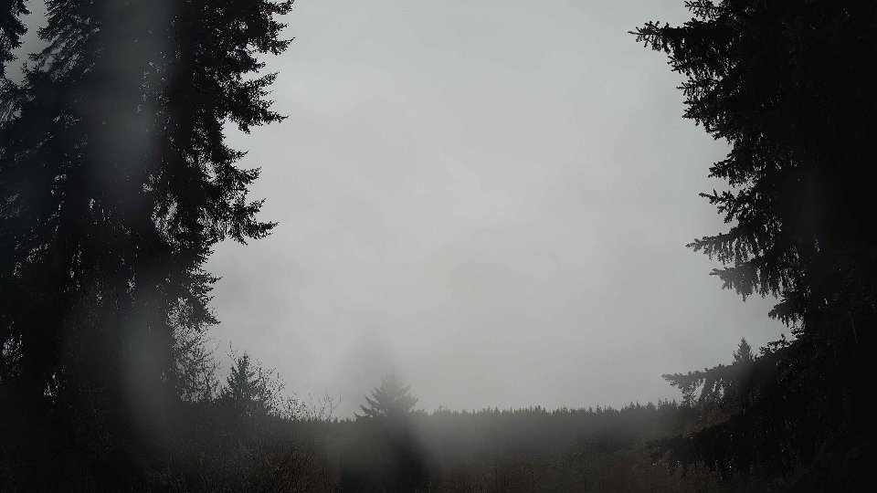
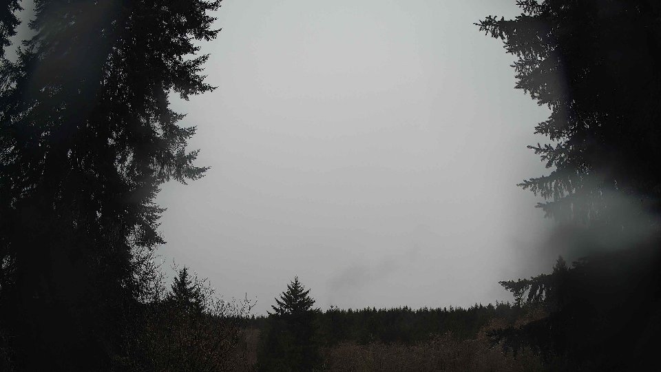
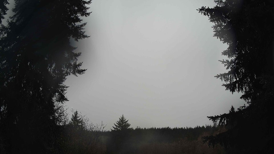
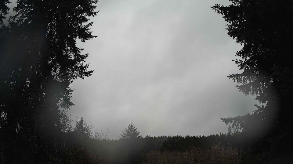
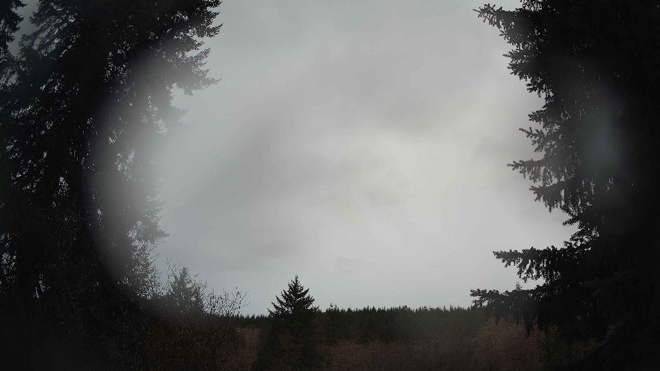
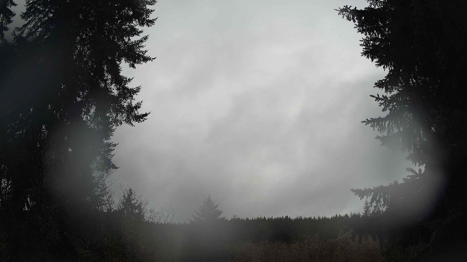
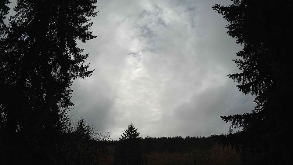
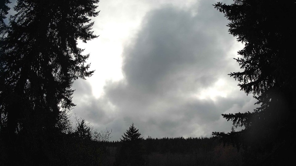
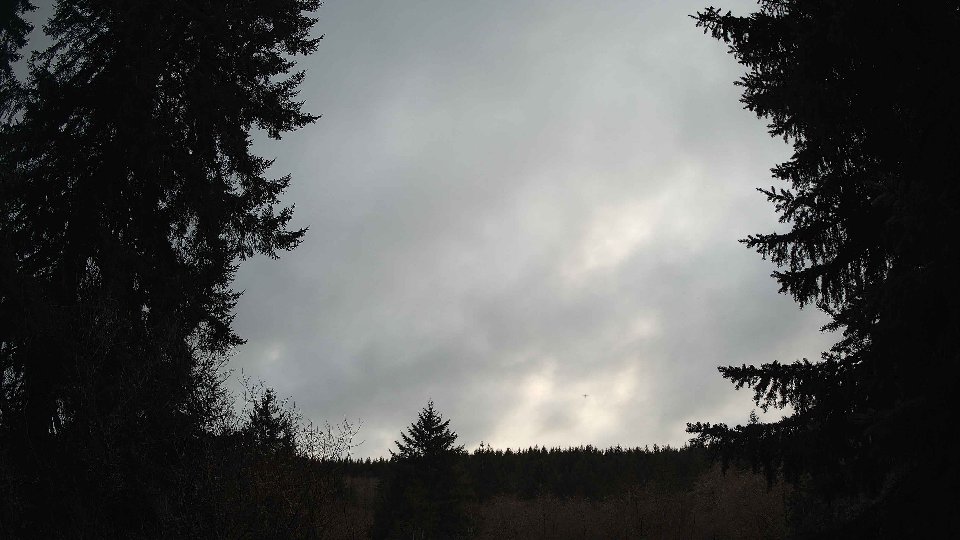
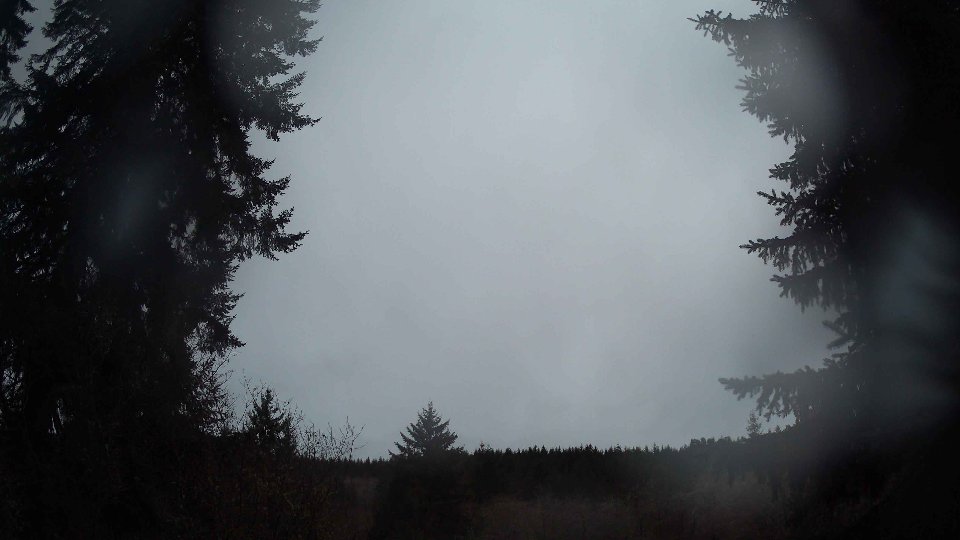
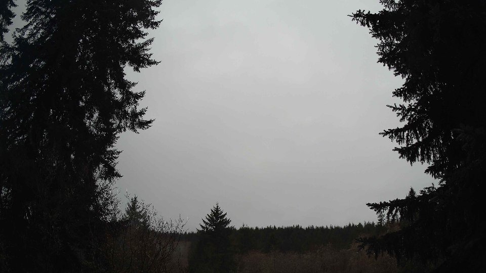
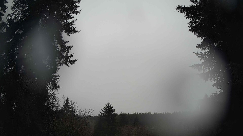
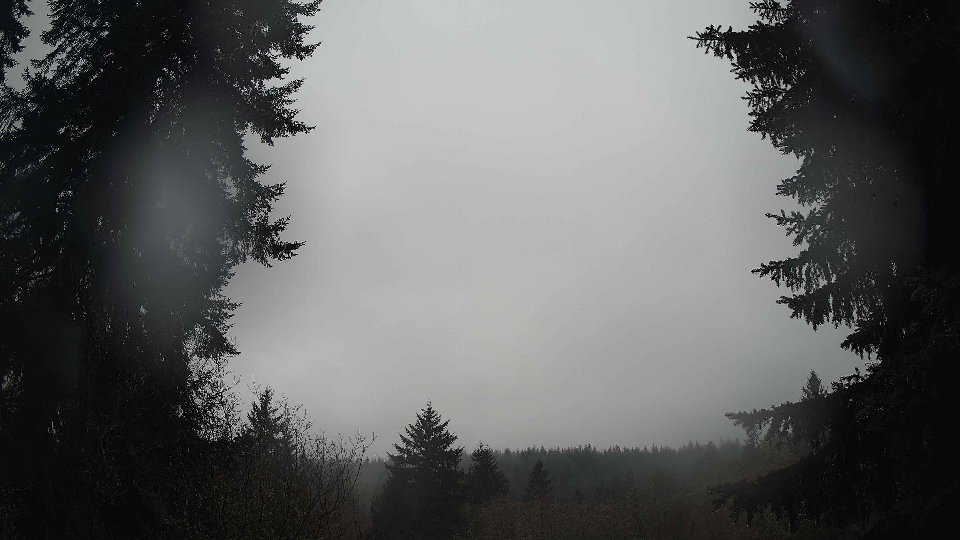
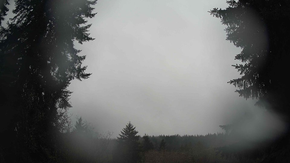
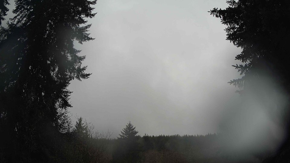
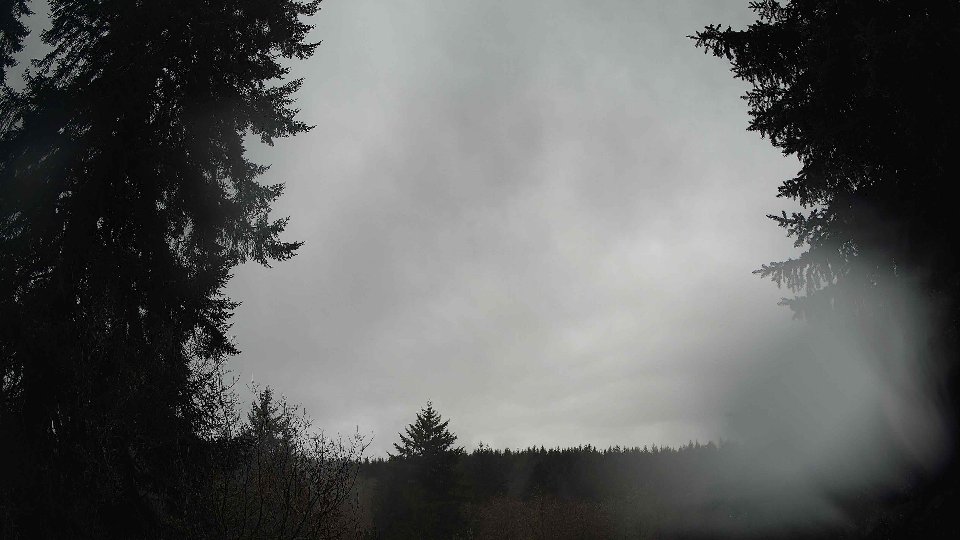
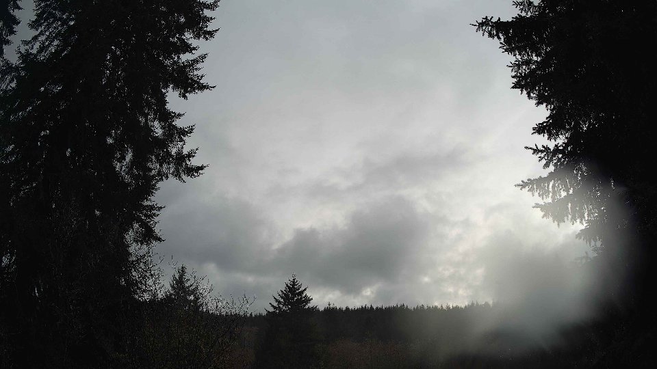
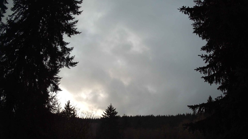
On February 16th, conditions began rather subdued as the morning unfolded. The surface winds were light, averaging just 2.2 mph, while winds aloft at 100 meters picked up slightly to 4.1 mph. This gentle breeze wasn't strong enough to disrupt the thick, blanket of clouds overhead, which was uniformly at 100% coverage; low clouds made up 5% of this, but both mid and high clouds were completely dominant at 100%. The temperature held steady around 35.2°F, giving a chilly start to the day. As these clouds drifted slowly, their uniformity hinted at a stable atmosphere with little turbulence. However, the slight difference in wind speeds at various altitudes indicated a potential for wind shear, which may have contributed to the flat, layer-like appearance of the clouds.
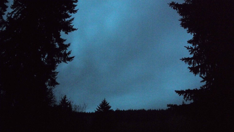
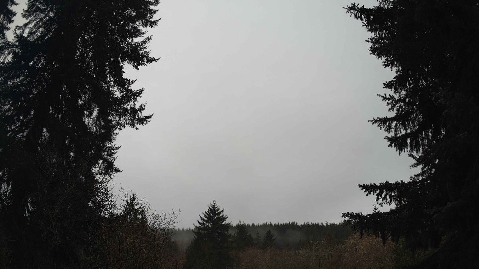
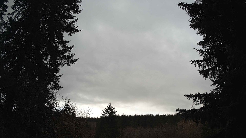
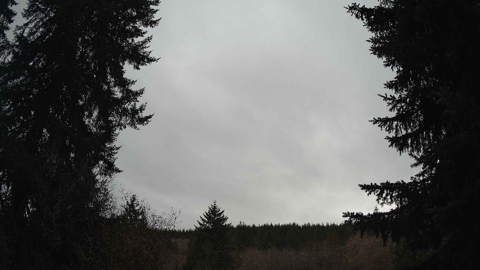
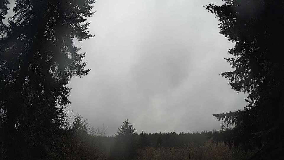
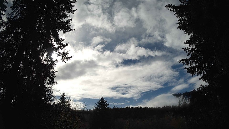
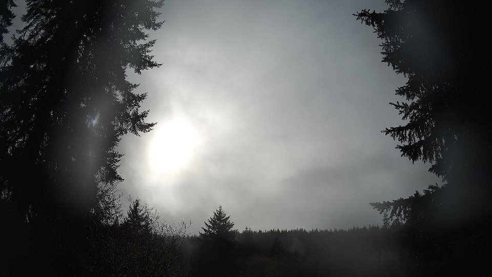
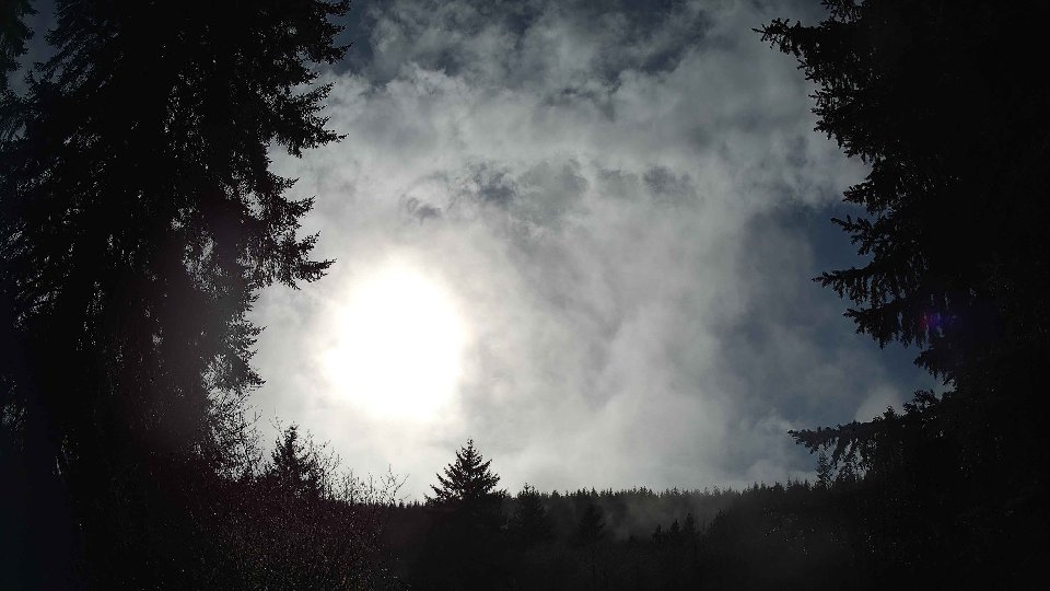
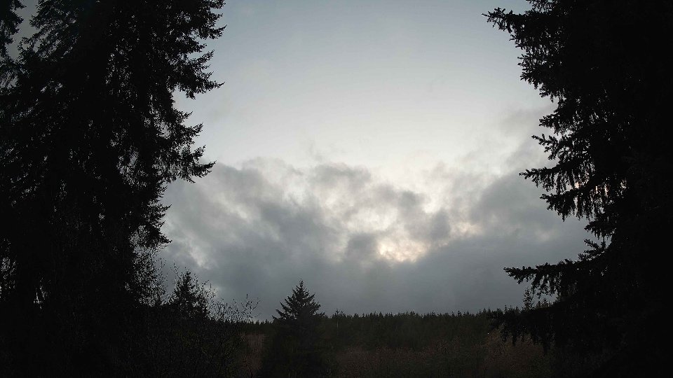
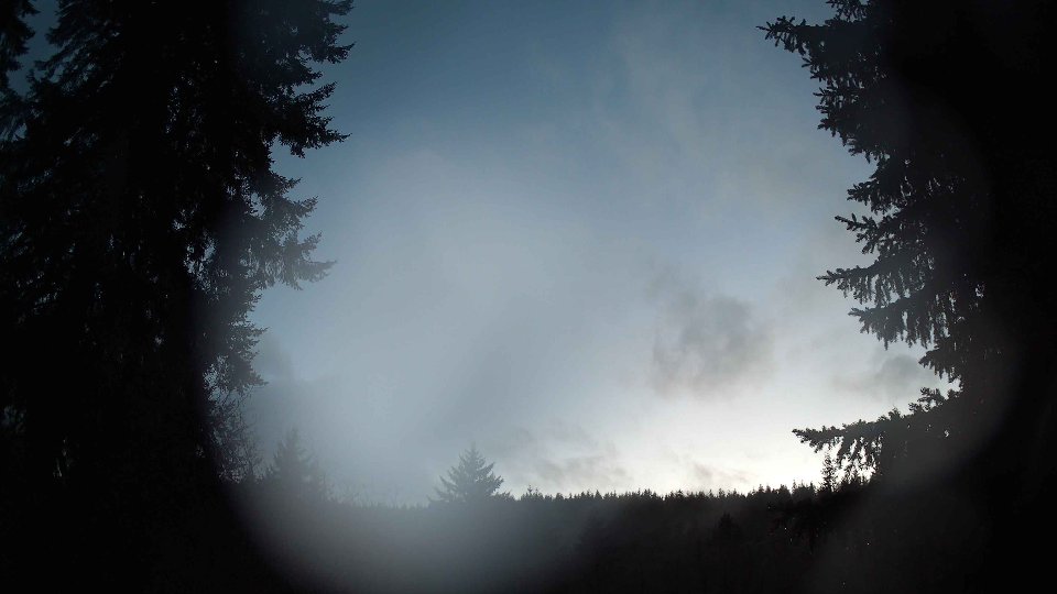
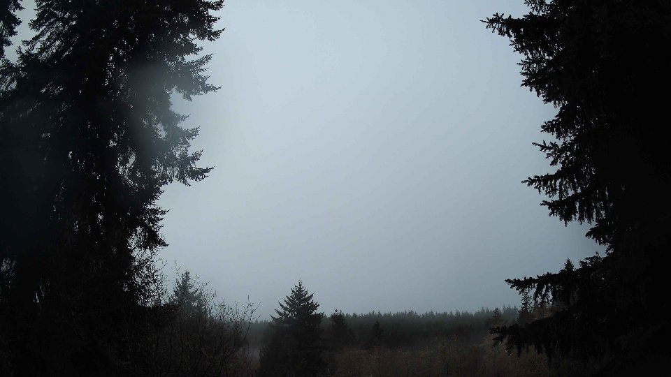
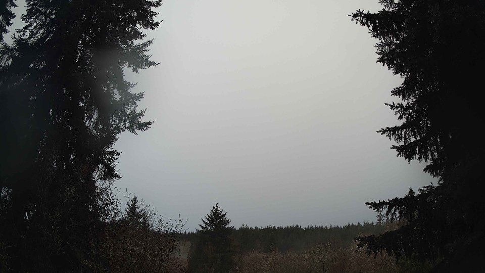
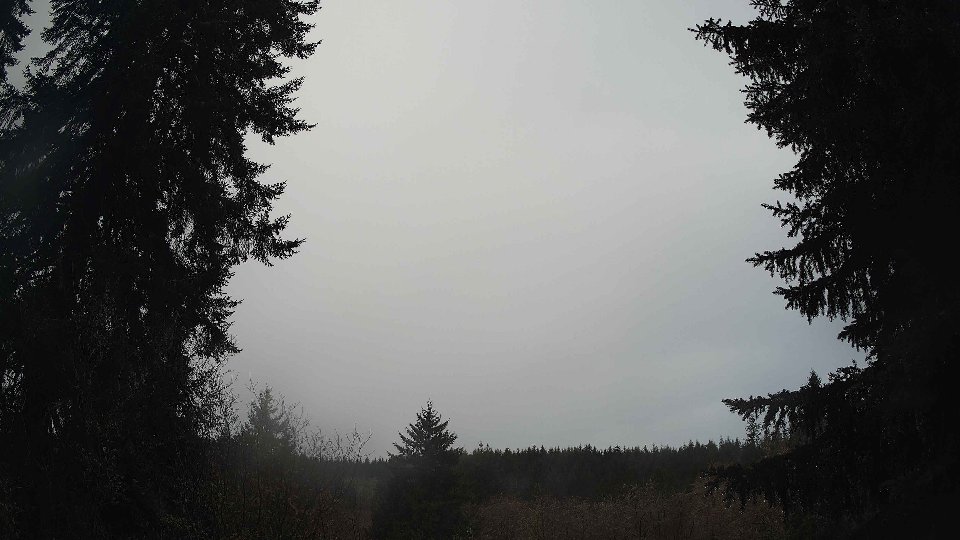
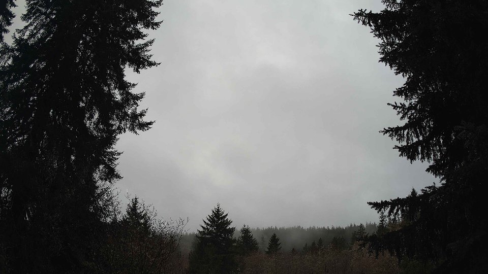
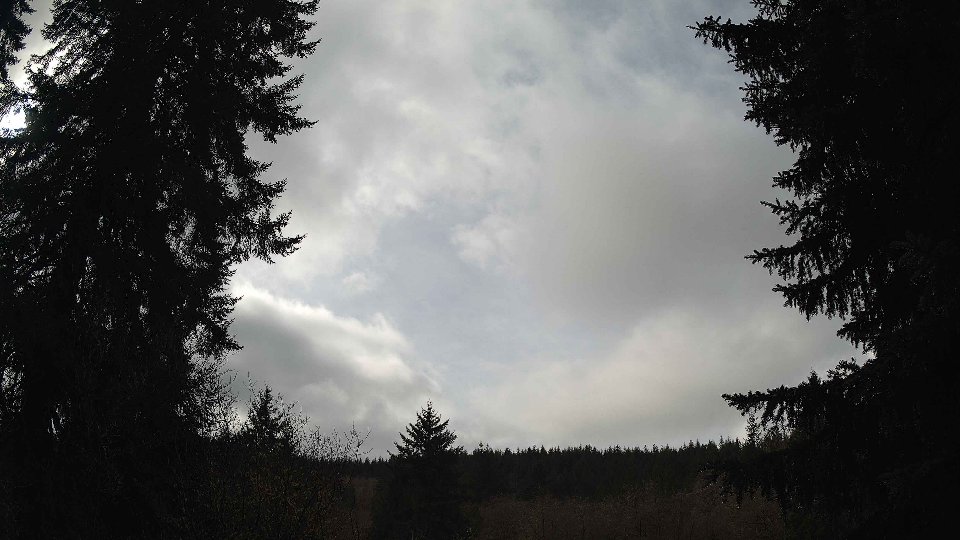
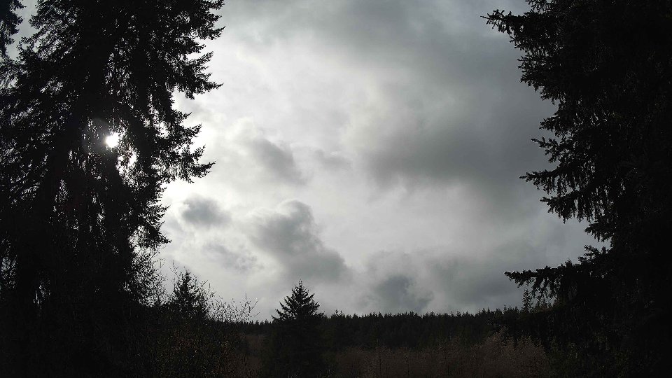
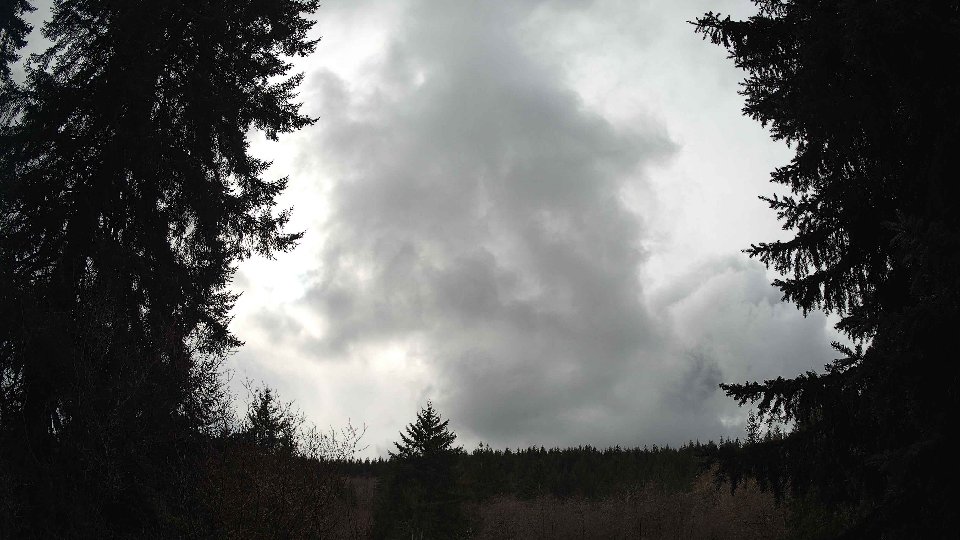
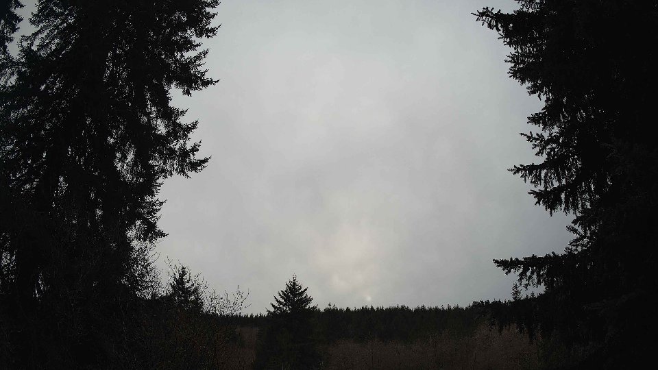
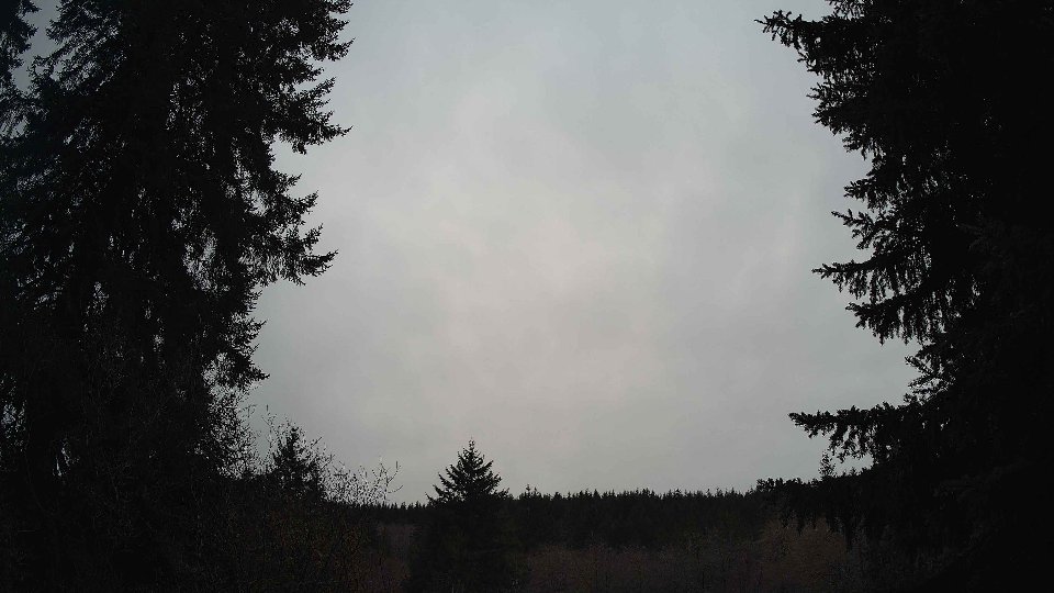
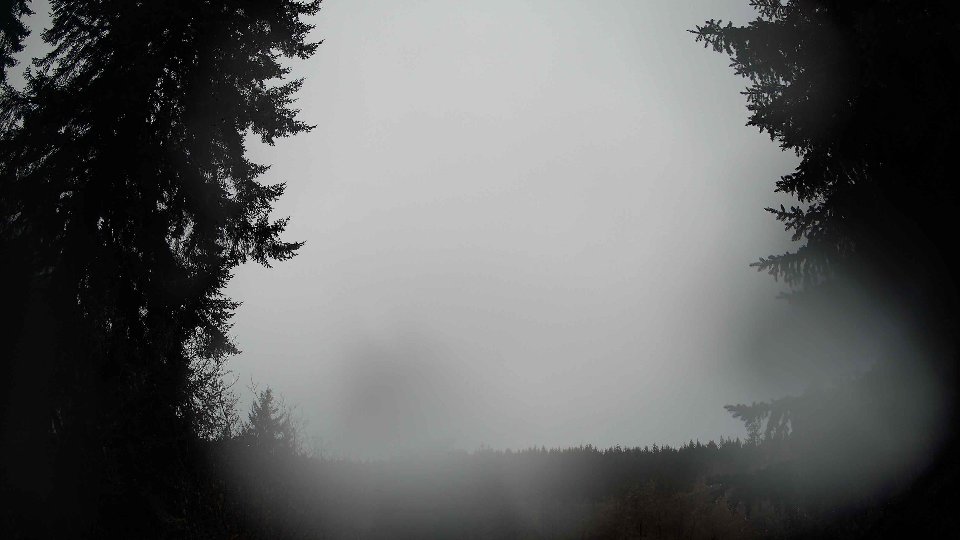
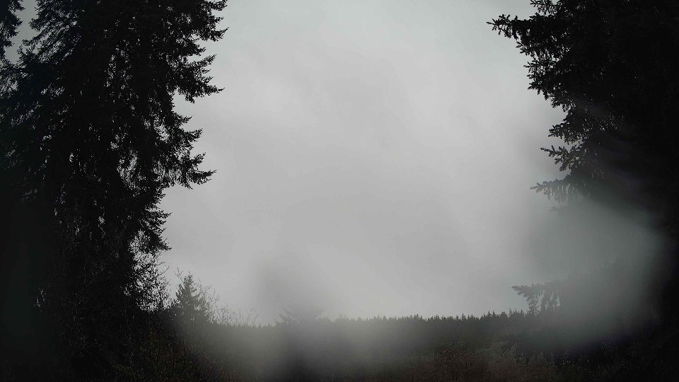
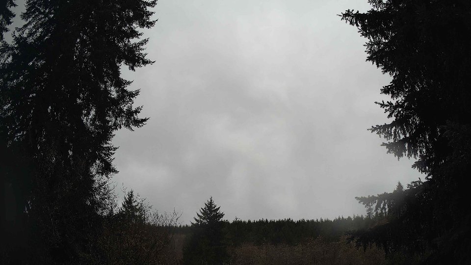
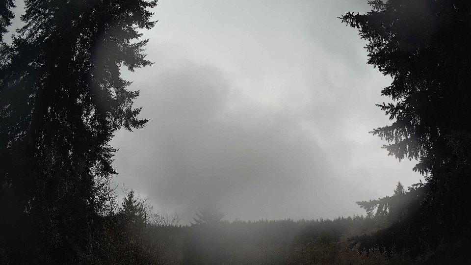
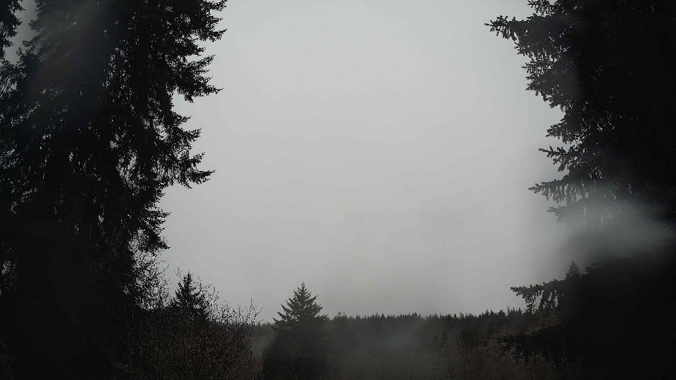
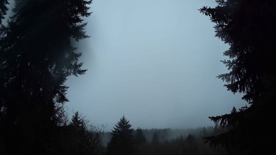
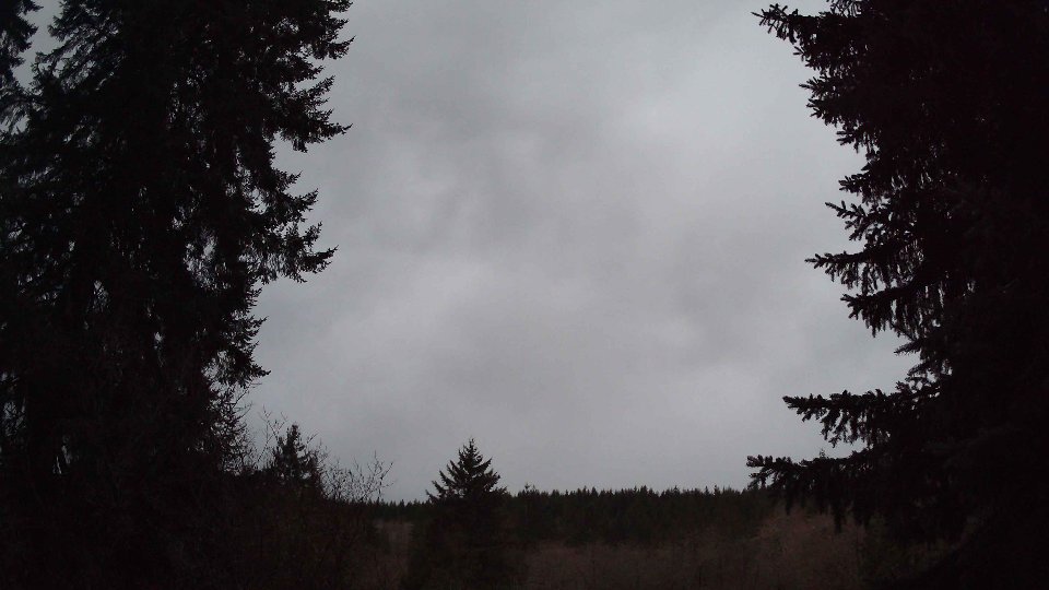
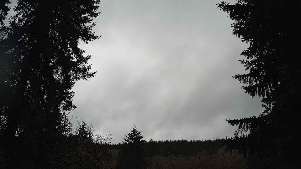
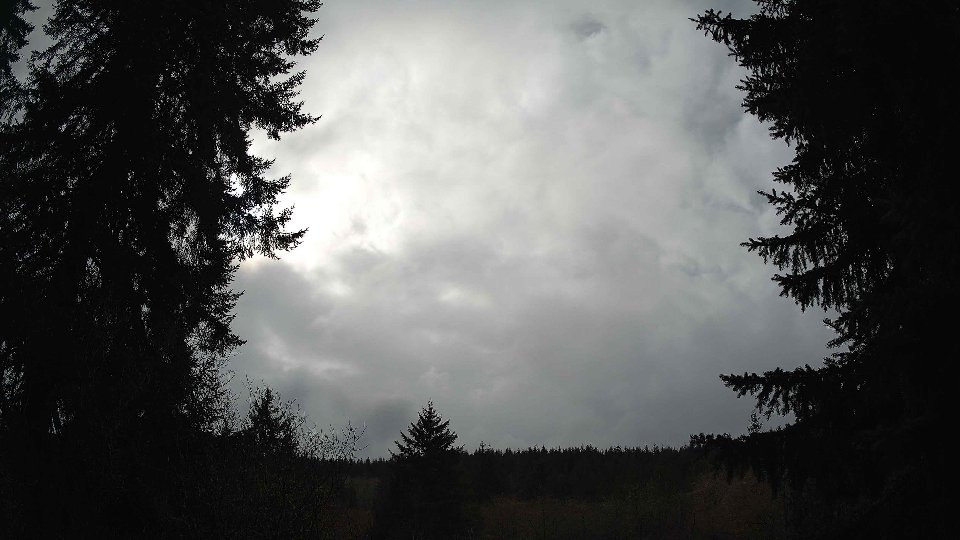
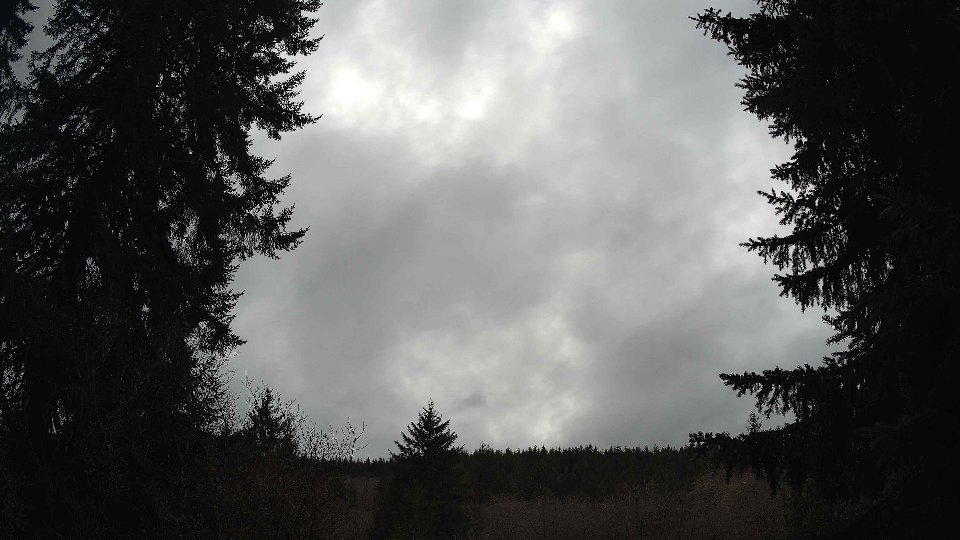
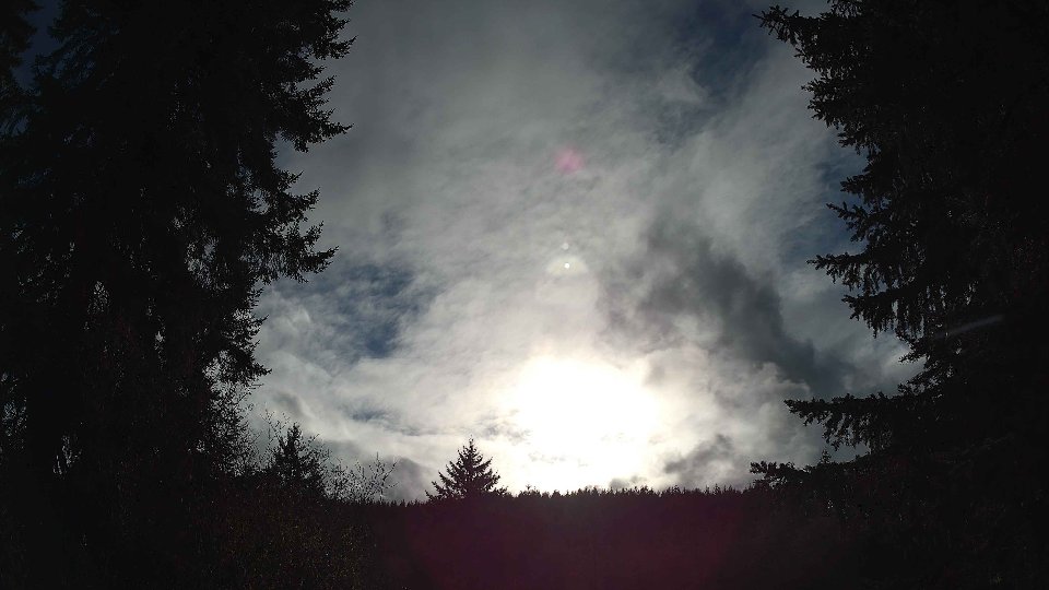
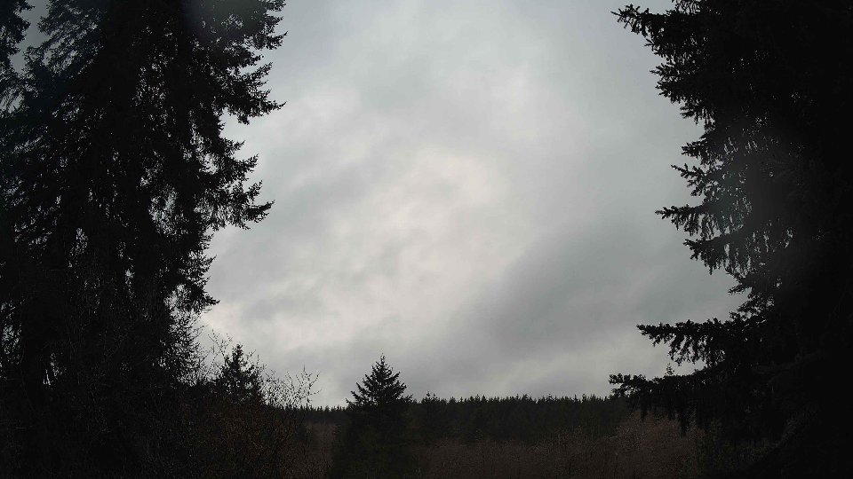
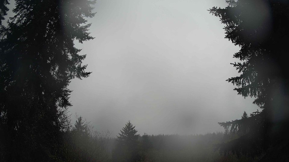
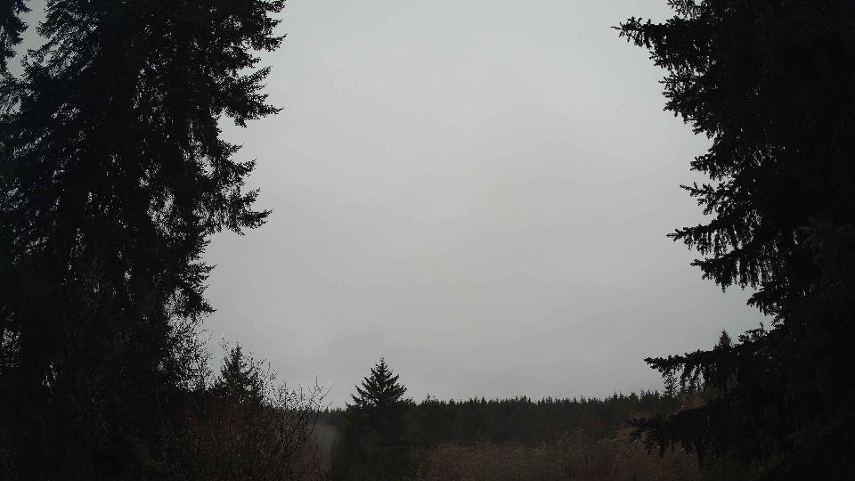
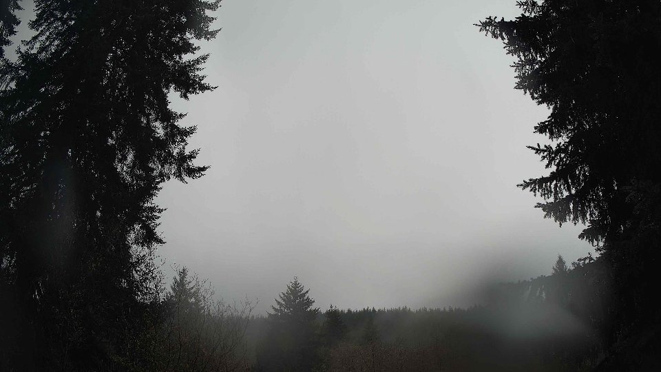
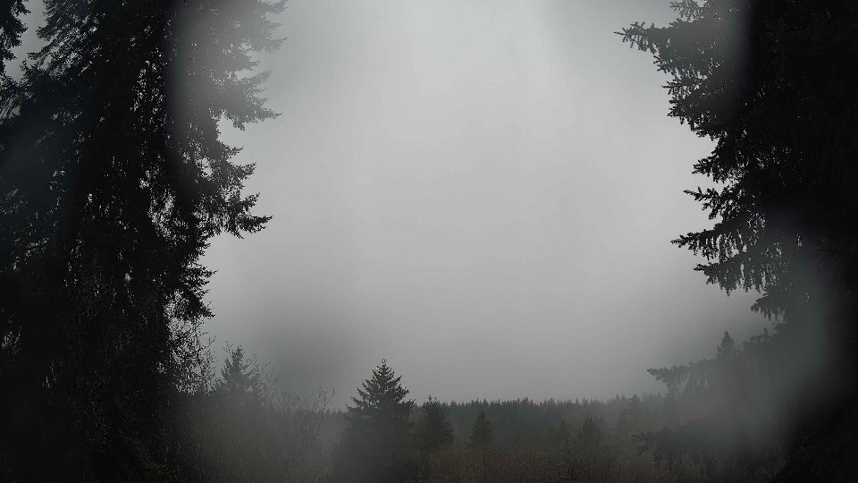
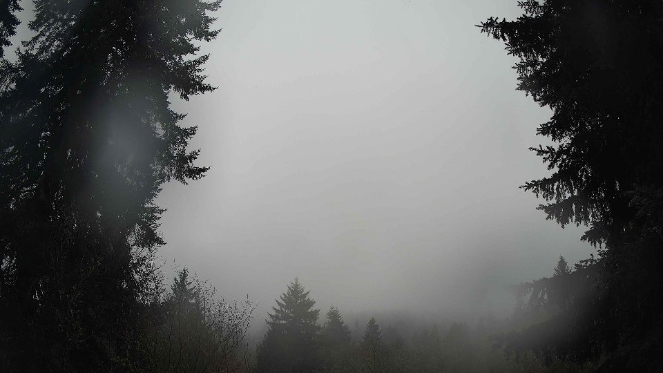
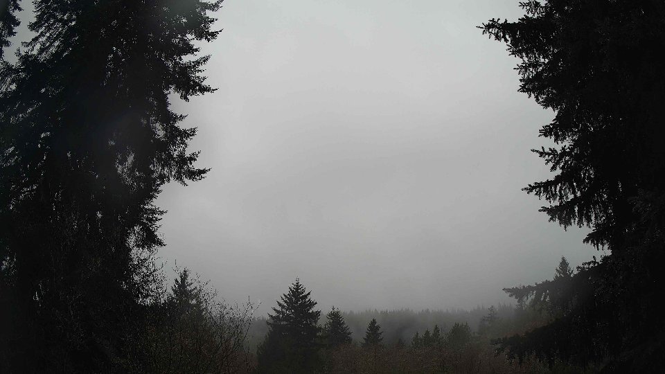
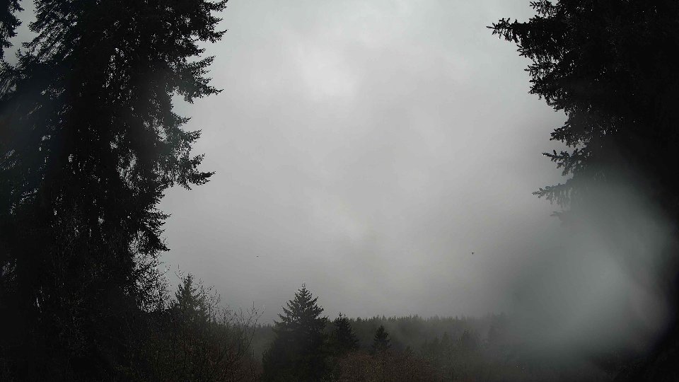
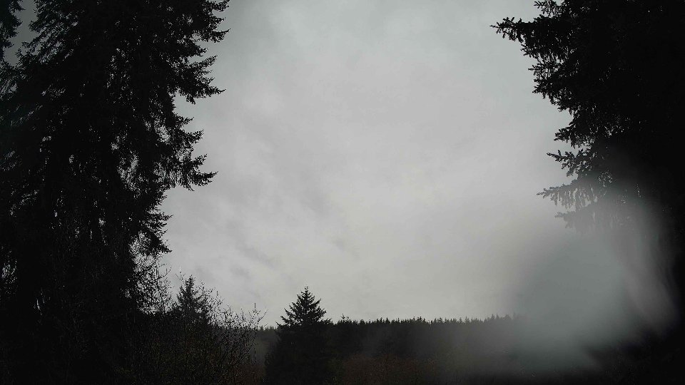
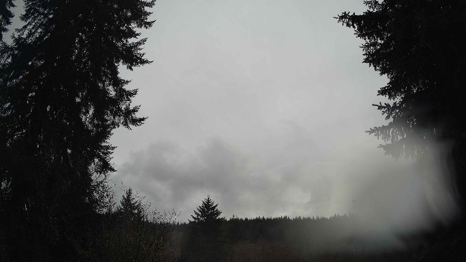
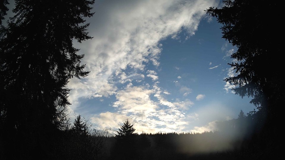
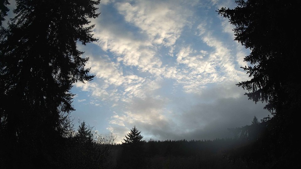
As the day progressed into midday, the weather showed a slight increase in activity. Surface winds rose to 6.1 mph, and winds at 100 meters increased to 9.3 mph, signaling a shift in the air dynamics. The cloud cover began to break up slightly, dropping to an average of 92.5%. Low and mid-level clouds remained predominant, each comprising 84.5% of the total, while high clouds dwindled to 25%. This evolution in cloud layers was influenced by the stronger winds aloft, which allowed for faster movement and a more dynamic sky. Brief periods of light rain accompanied by 0.08 inches of precipitation were noted, likely initiated by the interaction of moist air at the surface and the stronger winds aloft. The turbulence created by the conflicting wind directions between the surface and higher altitudes added an interesting texture to the clouds, with some areas appearing to ripple as they moved.
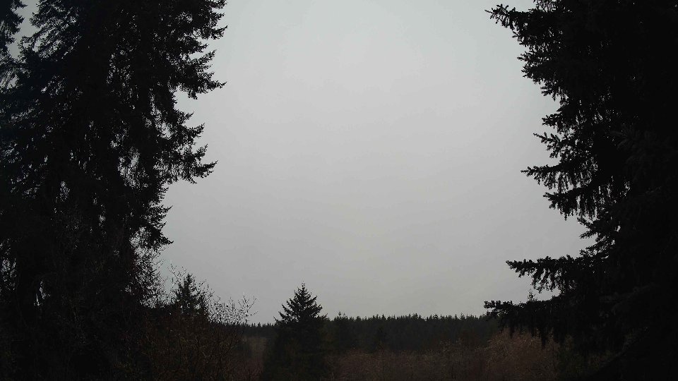
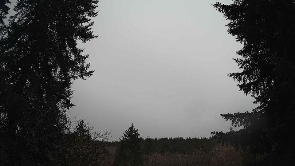
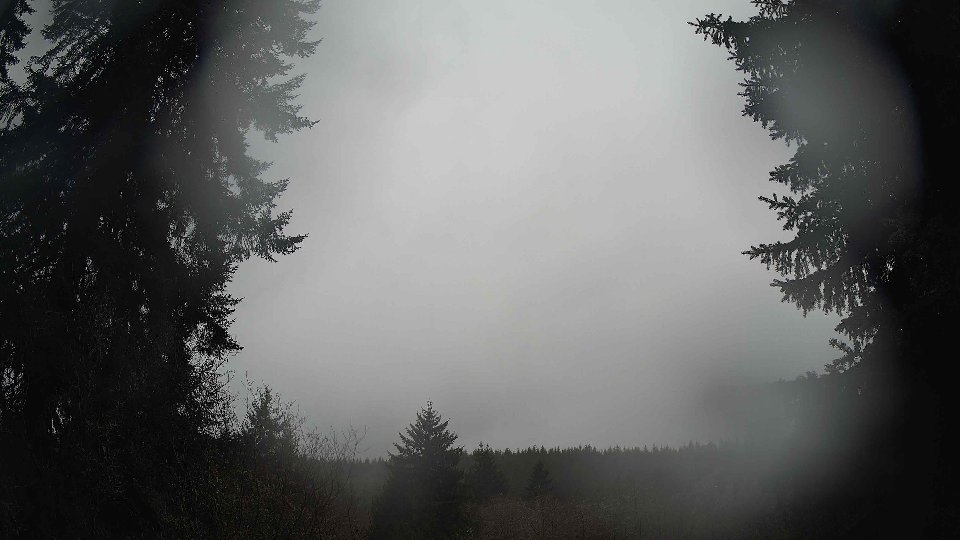
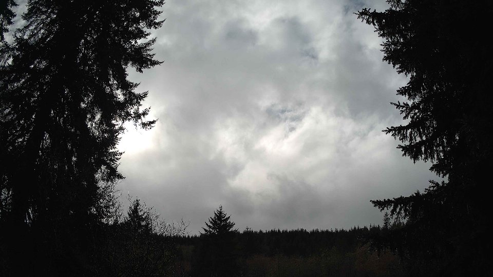
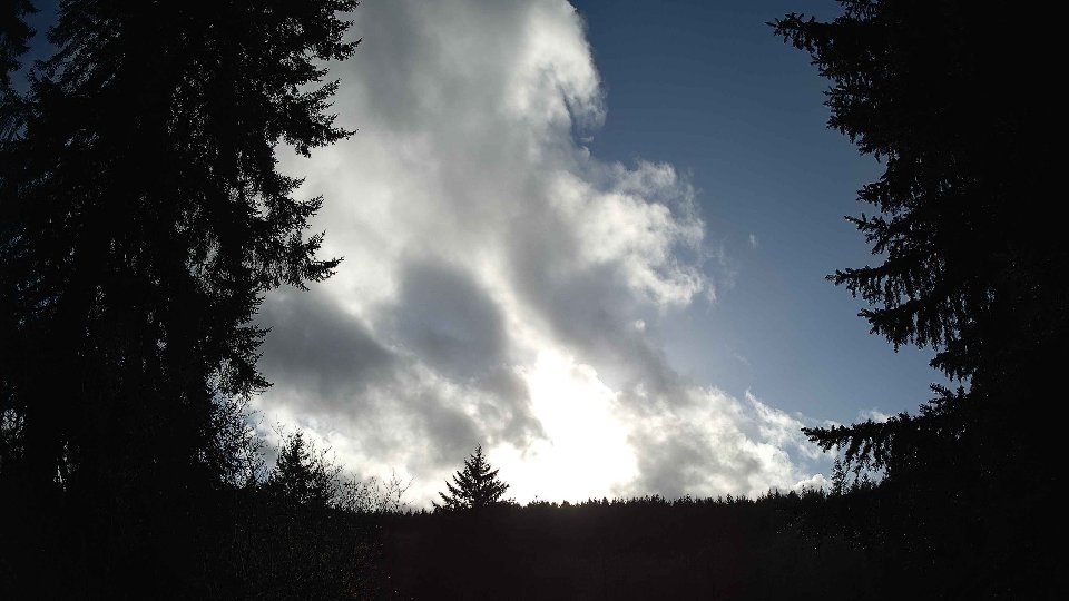
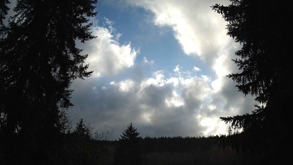
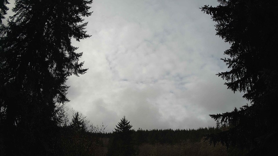
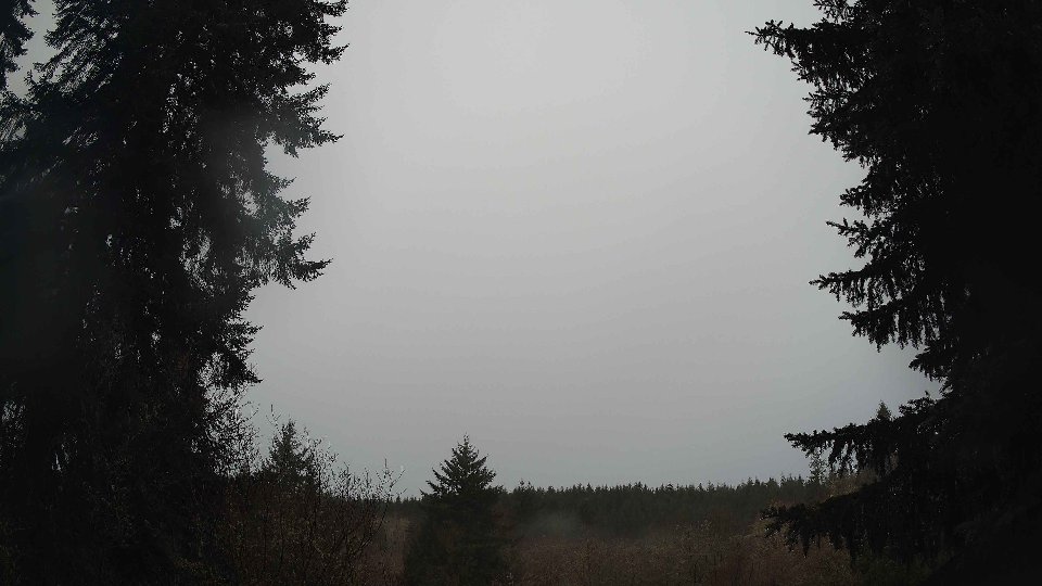
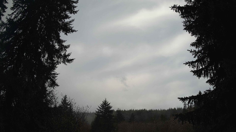
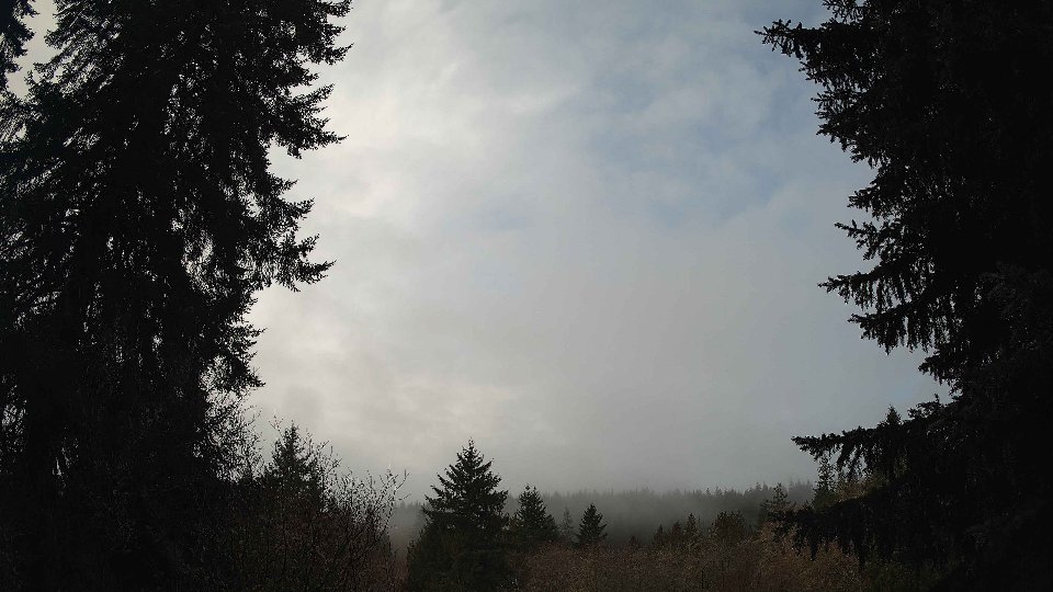
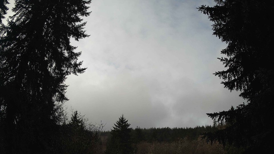
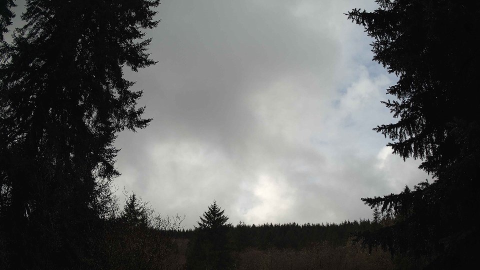
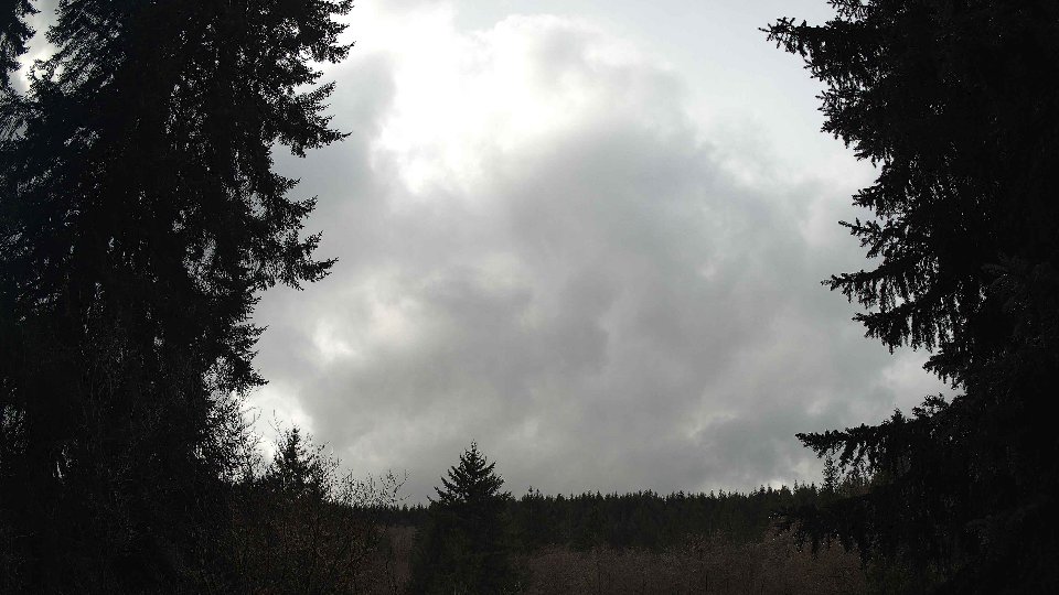
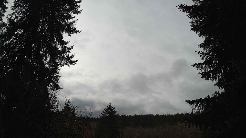
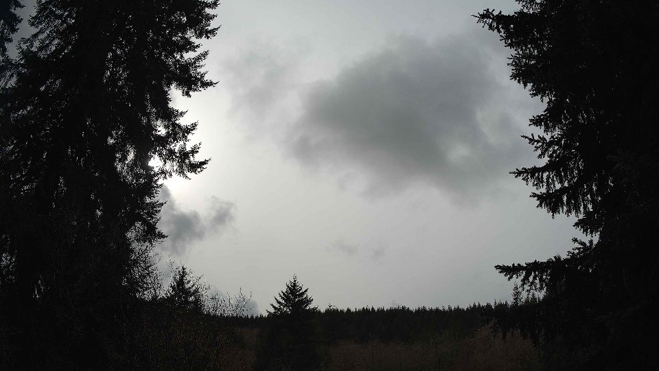
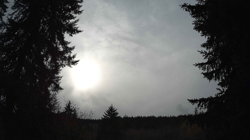
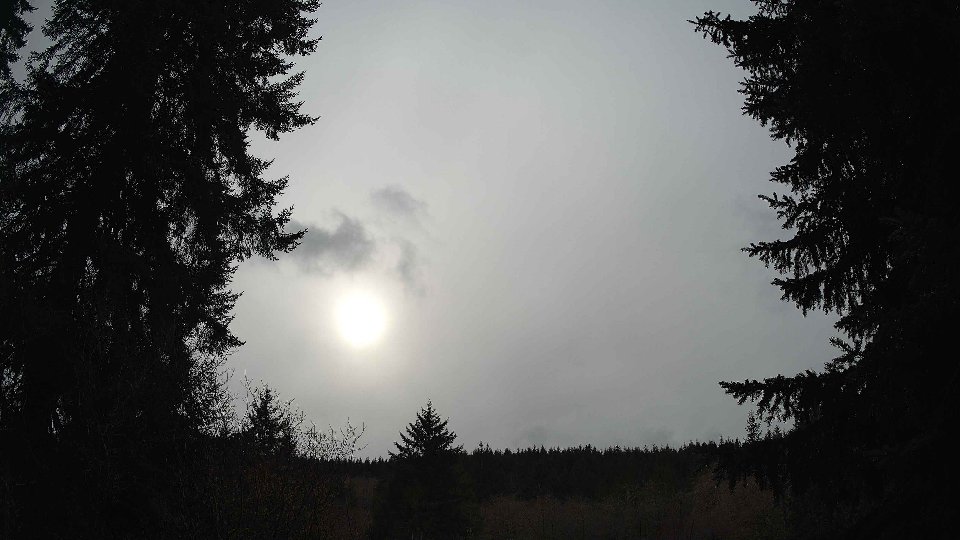
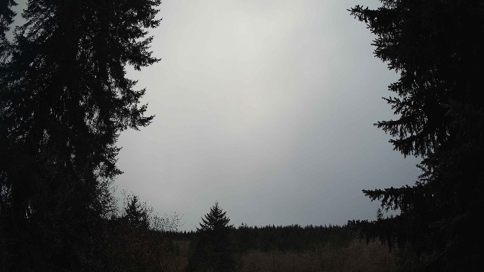
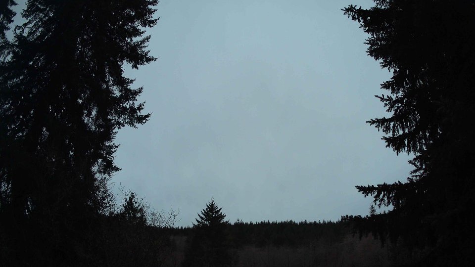
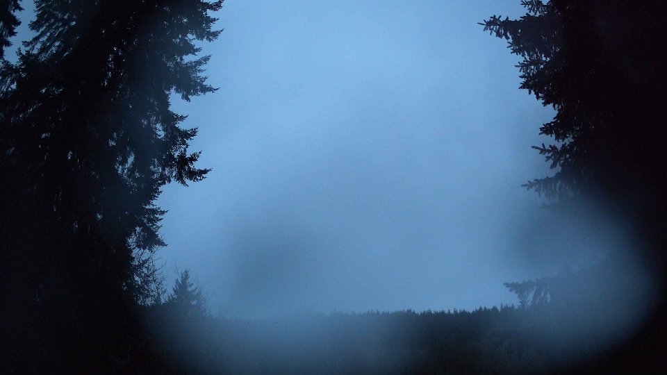
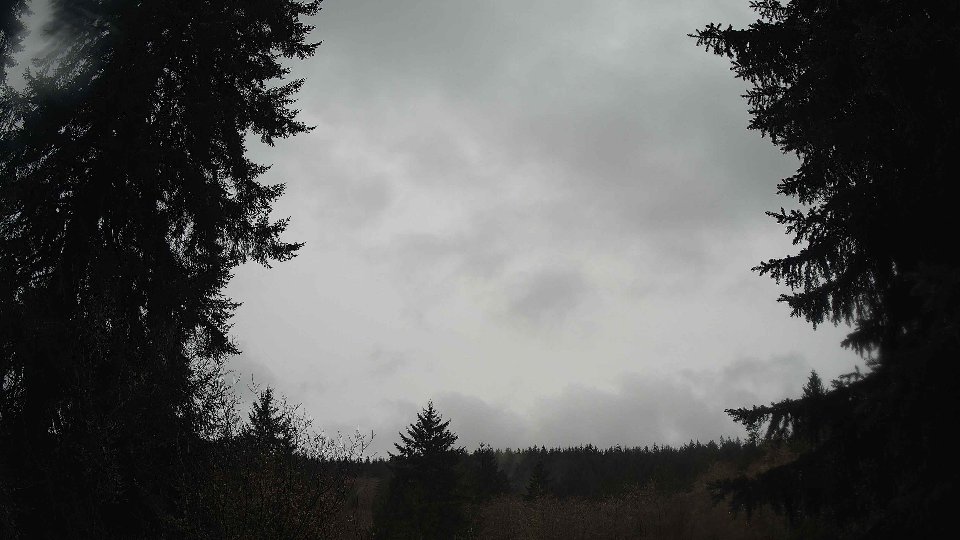
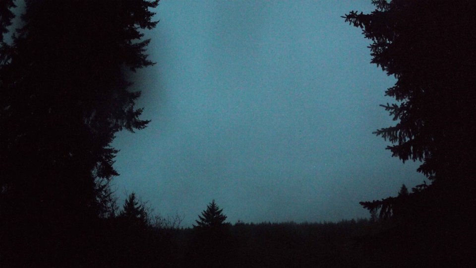
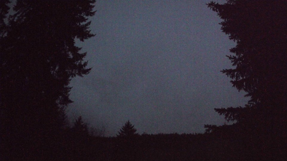
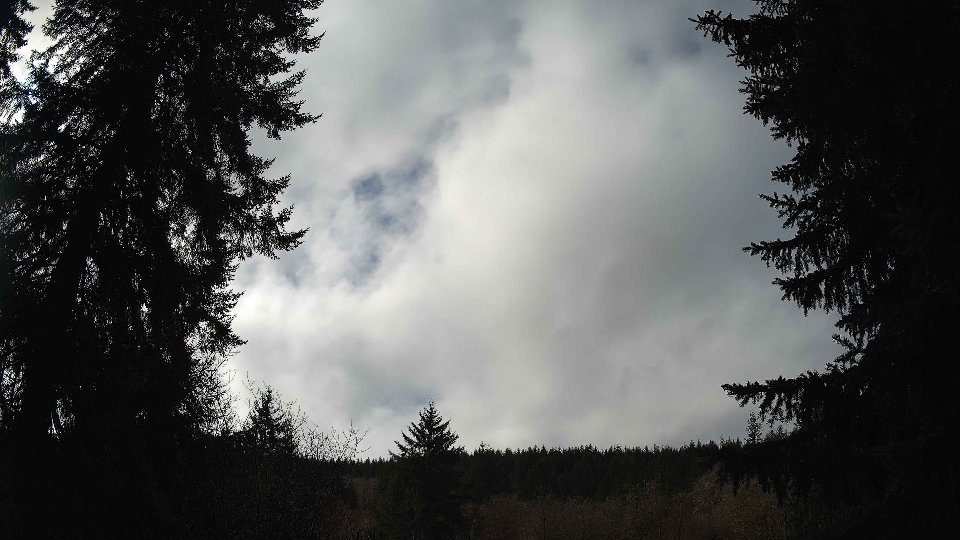
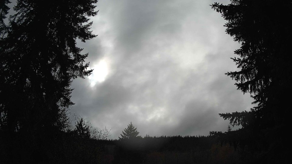
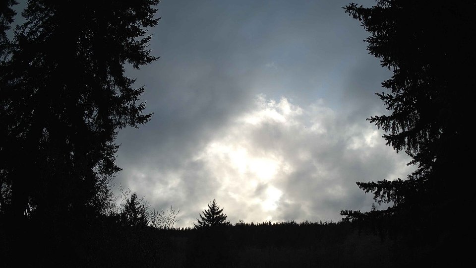
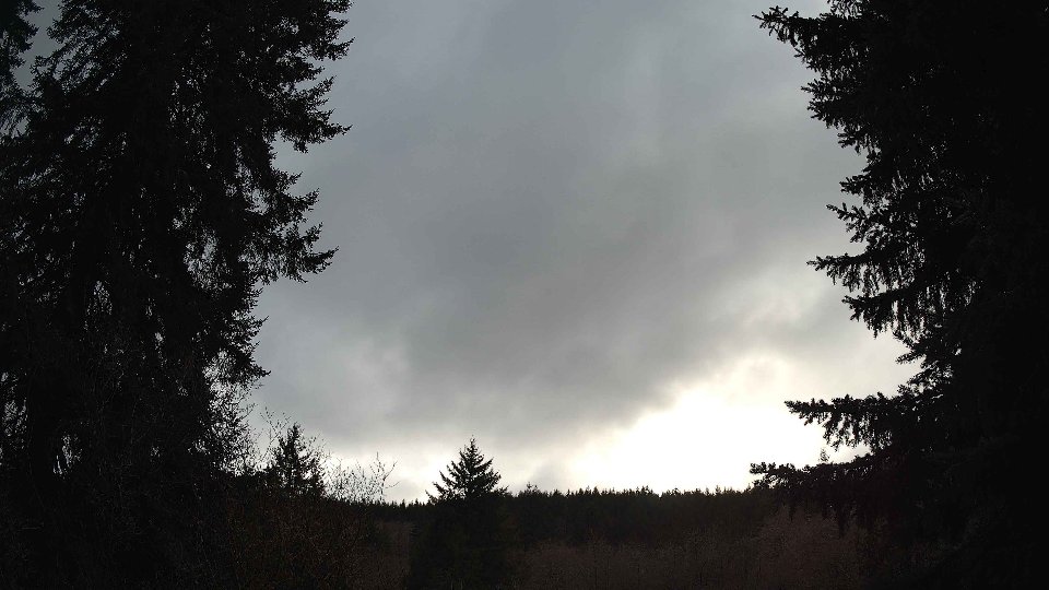
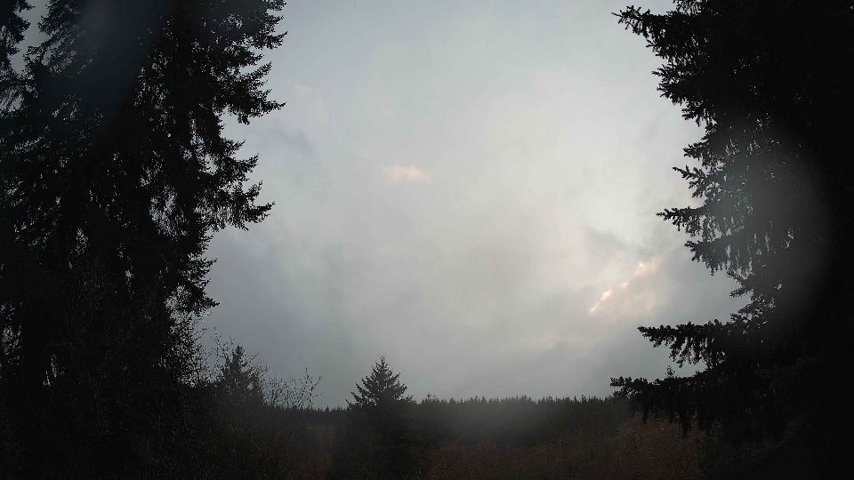
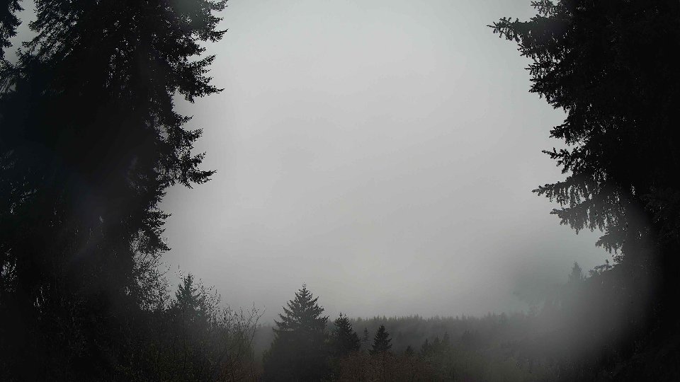
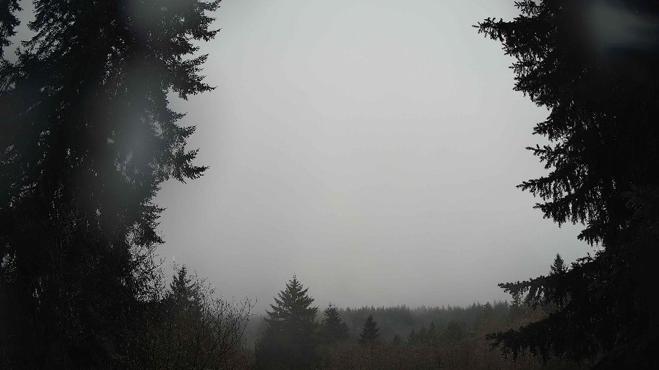
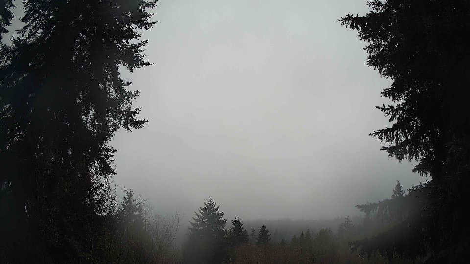
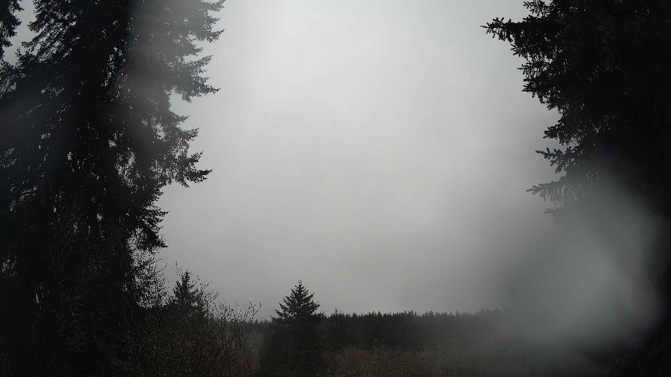
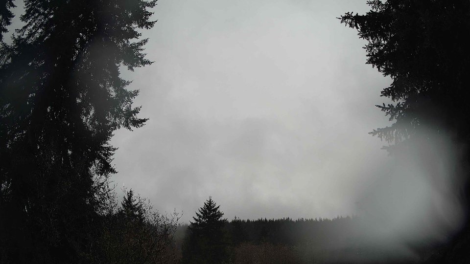
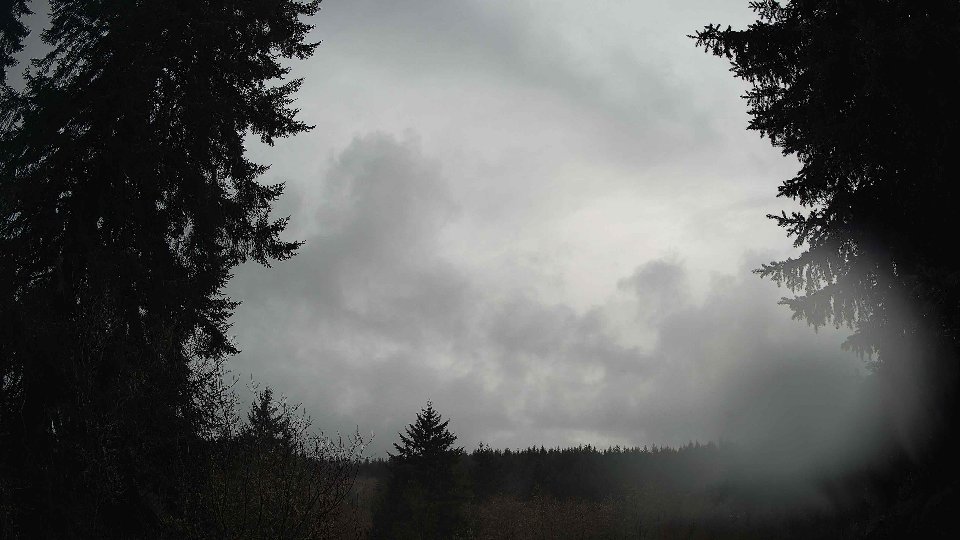
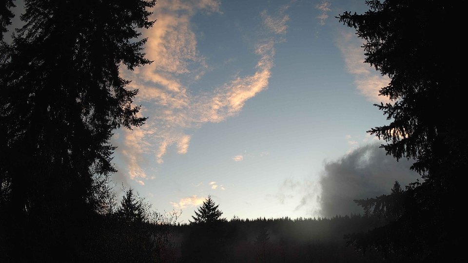
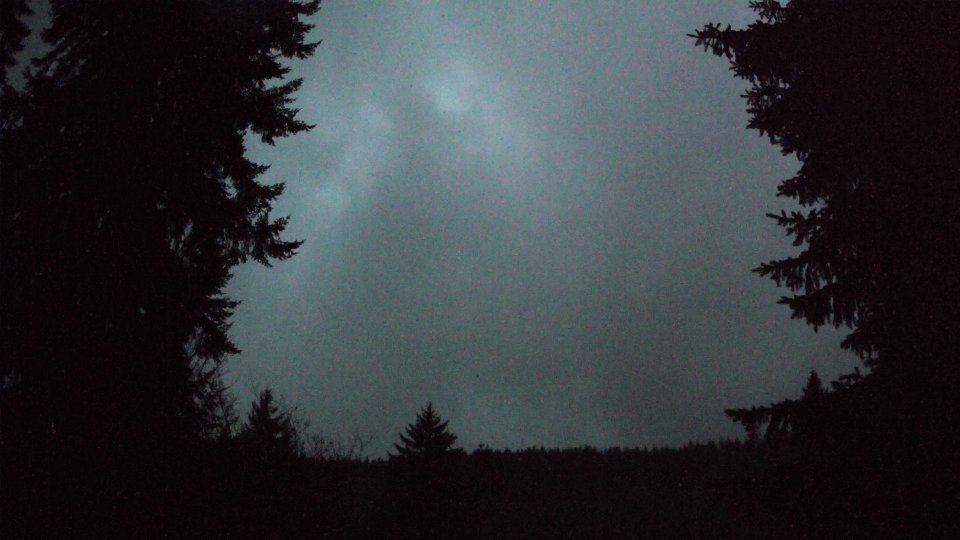
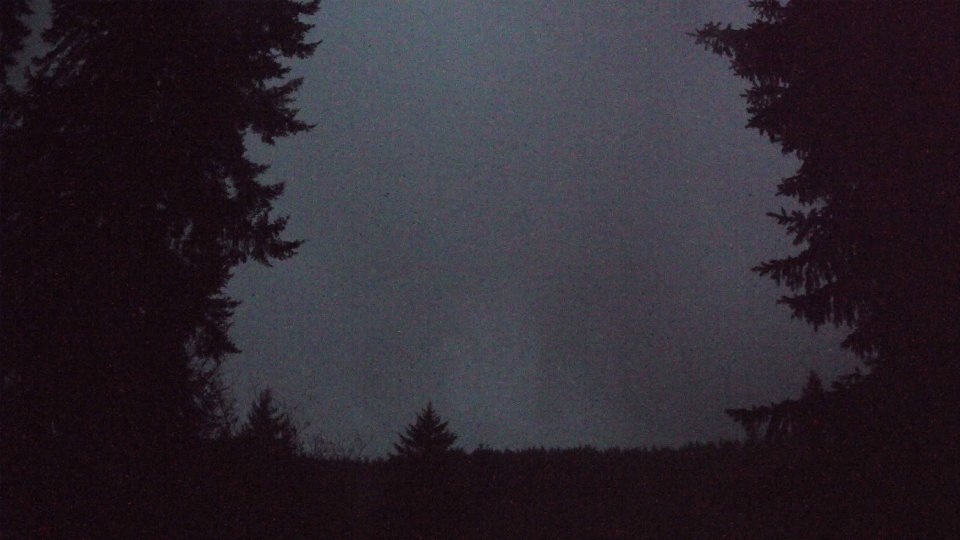
In the evening, as daylight faded, the weather maintained a cooler tone with temperatures averaging 38.5°F. Surface winds remained relatively stable at 4.4 mph, while winds at 100 meters continued to blow at a respectable 7.9 mph. The cloud cover thinned considerably to 55.8%, with low clouds dropping to 16.2% and mid clouds at 48.8%. High clouds disappeared altogether, revealing more of the sky's expansive canvas. This reduction in cloud cover offered a glimpse of clearer skies, yet the remaining mid-level clouds continued to display layered effects that captured the lingering light. There was a noticeable decrease in turbulence as the day wound down, allowing for a more tranquil end to the day, even as the varying winds aloft hinted at an ever-present energy in the atmosphere, subtly shaping the weather patterns and cloud dynamics.
February 16th, 2026 Timeline
Screenshots with weather data (wind layers, clouds, precipitation)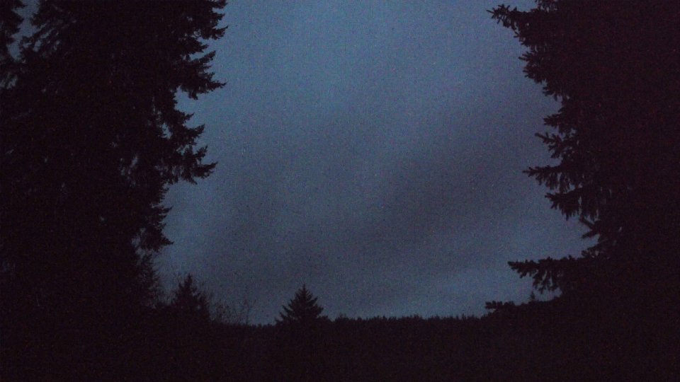


Weather Info for February 16th, 2026
Sunset: 5:39 PM