February 21st, 2026 Timelapse
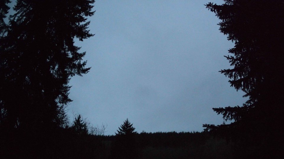
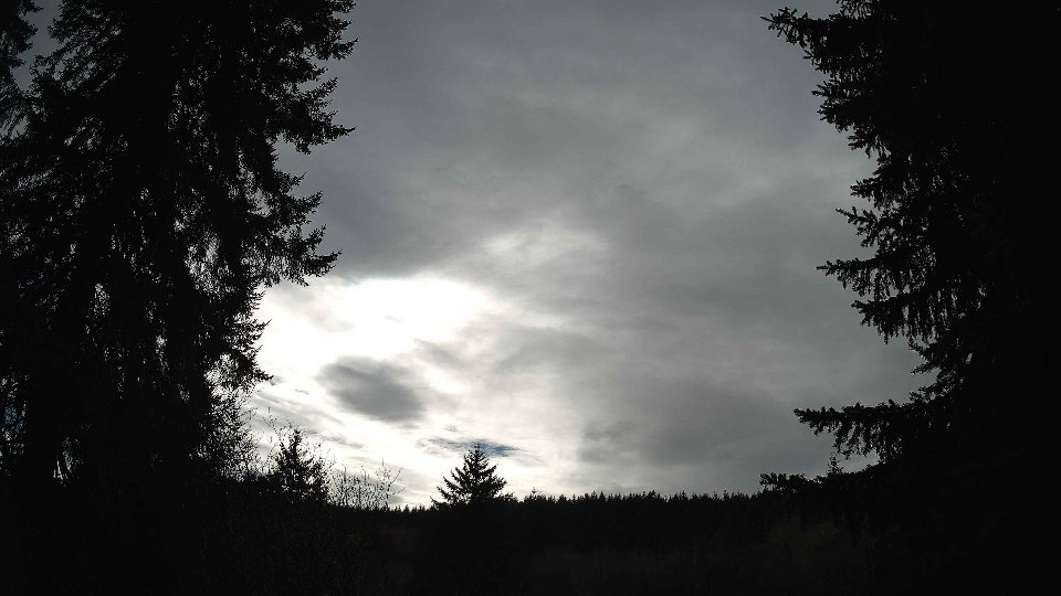
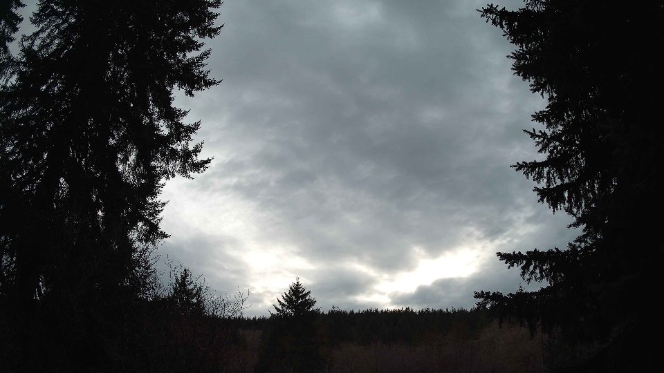
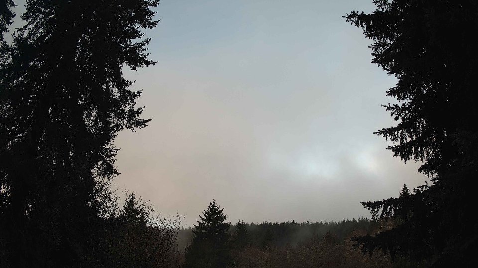
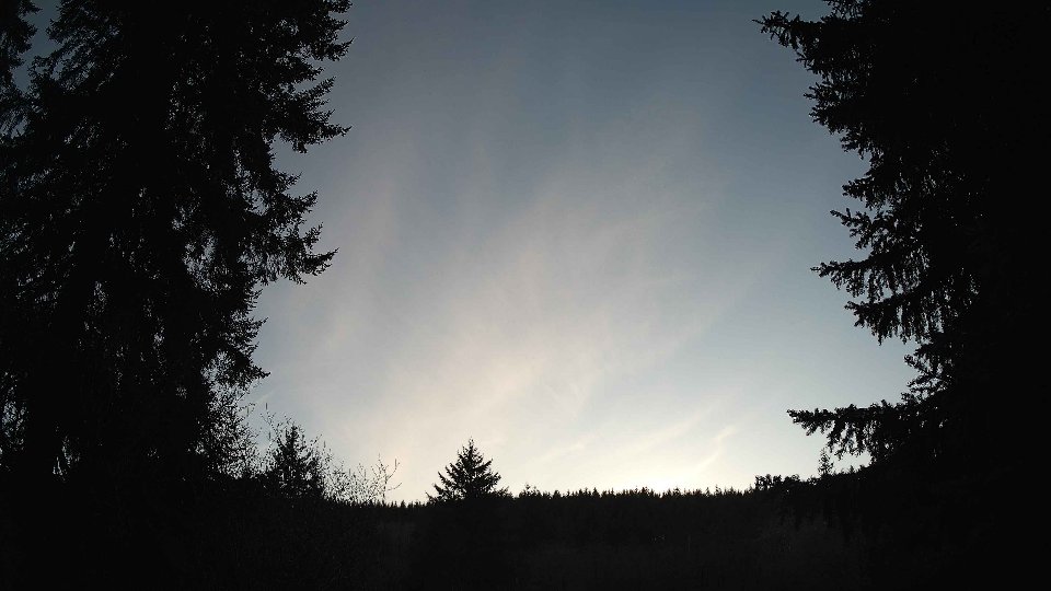
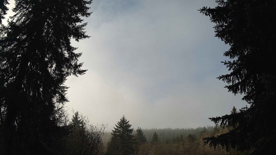
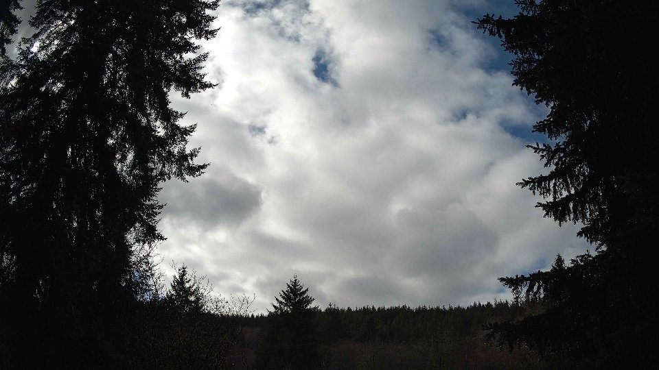
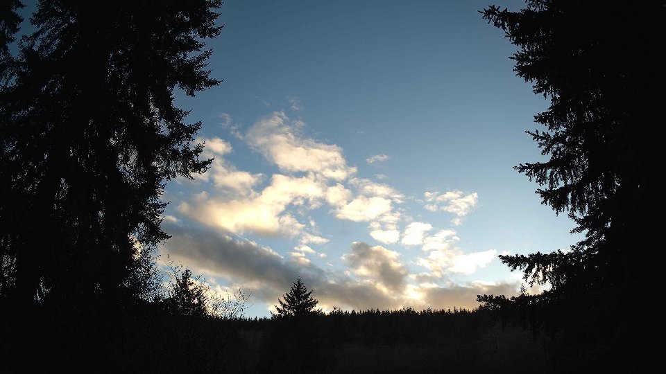
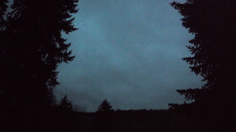
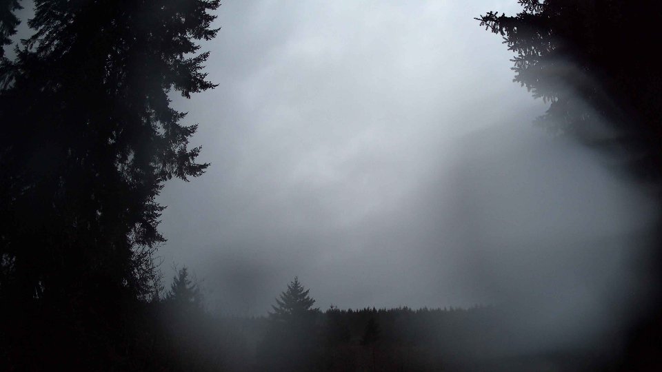
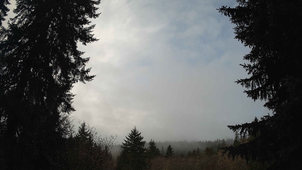
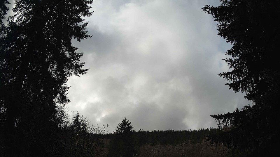
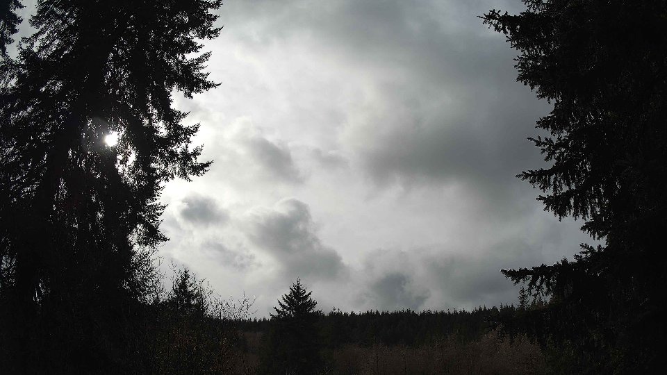
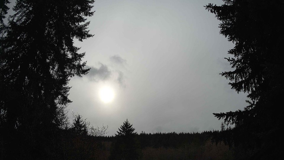
On February 21st, the morning unfolded under a blanket of dense cloud cover as the atmosphere prepared for a day of dynamic weather. At the surface, winds averaged 10.9 mph, while at 100 meters they were significantly stronger at 20.6 mph, creating a noticeable contrast that hinted at potential turbulence. The sky was completely overcast, with low clouds comprising 55.2% of the cover, and both mid and high clouds reaching 100%. As the winds aloft propelled the higher cloud layers rapidly across the sky, precipitation began to build, dropping 0.13 inches by mid-morning. This interaction between the robust upper-level winds and the slower-moving surface winds contributed to turbulence, as the two layers conflicted, generating a swirl of cloud dynamics that danced overhead, setting the stage for an interesting day of weather.
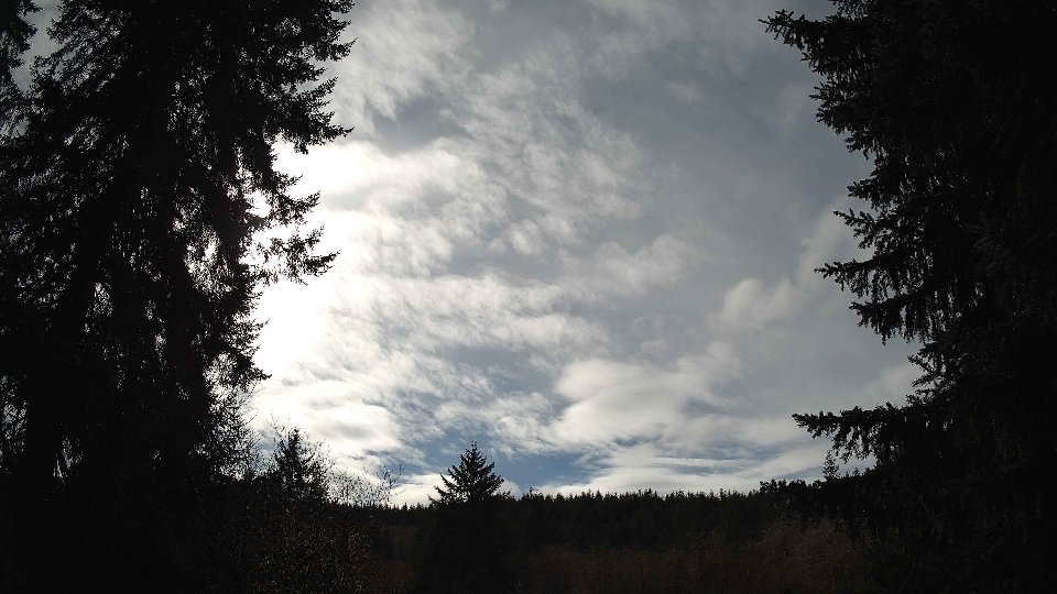
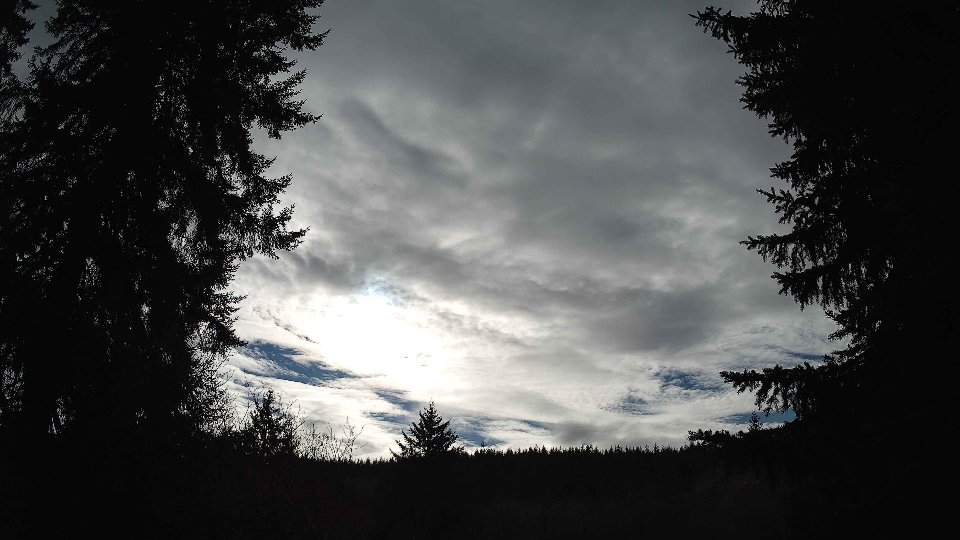
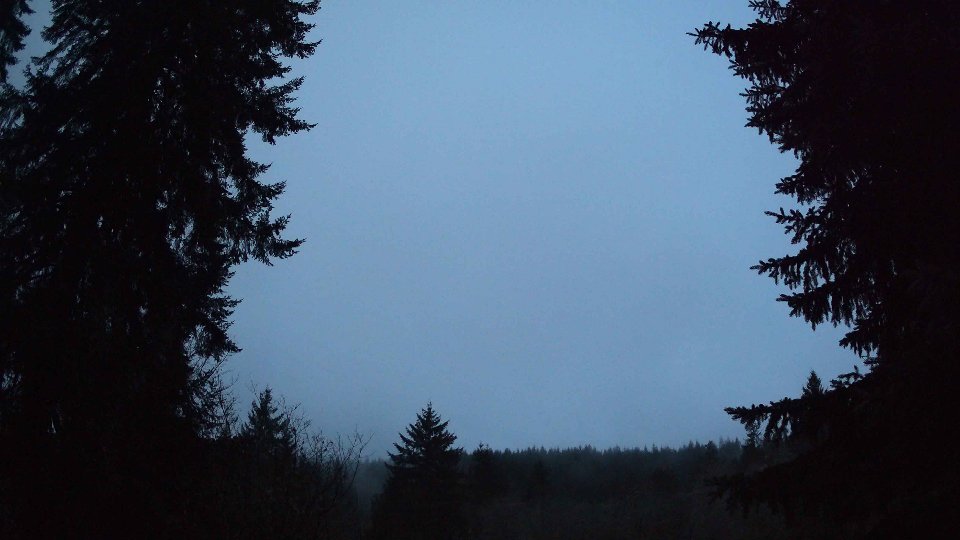
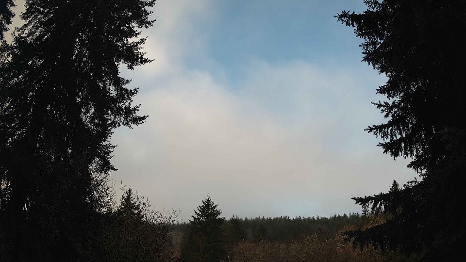
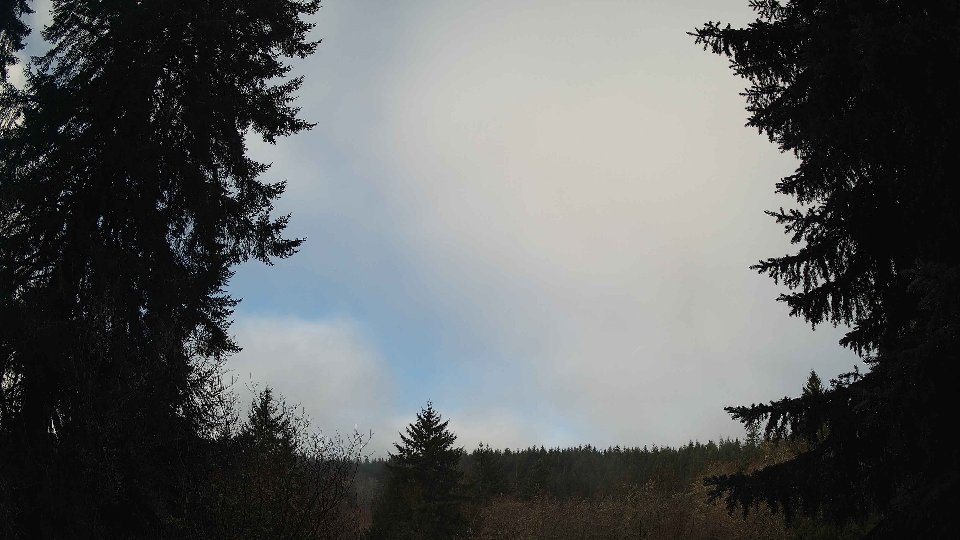
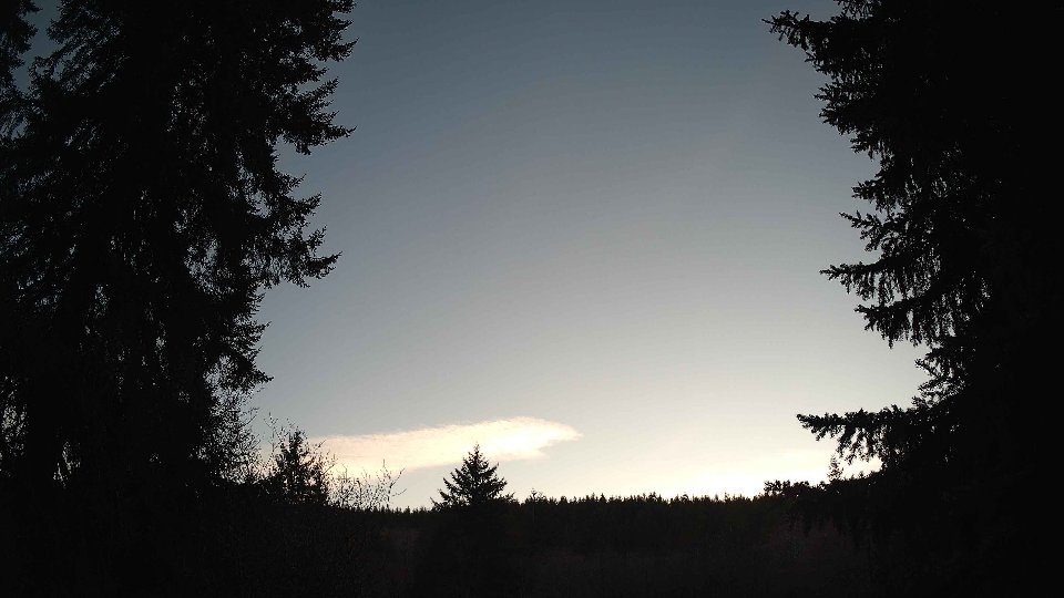
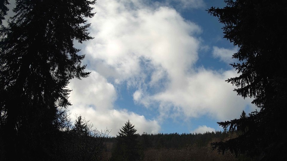
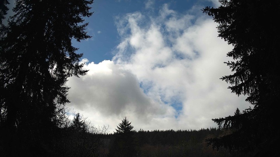
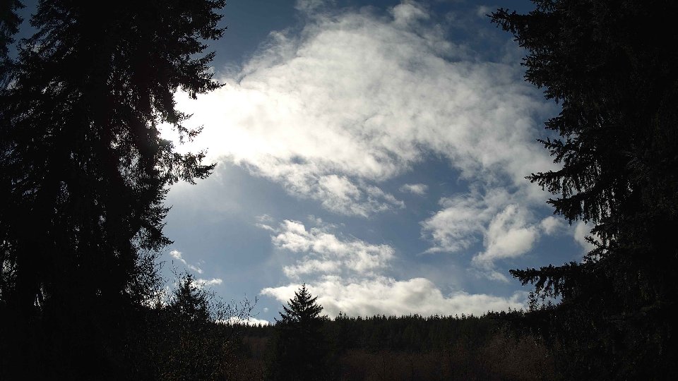
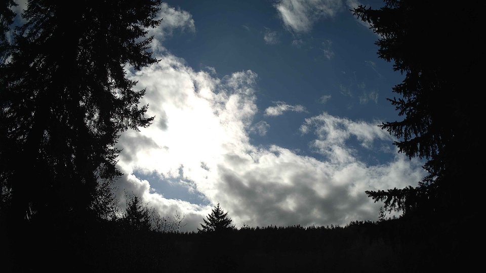
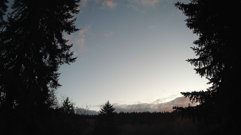
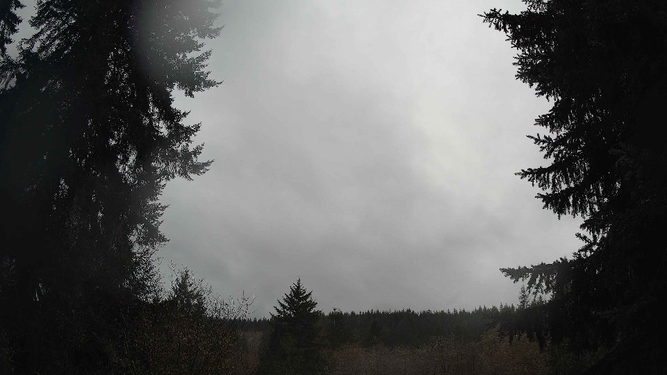
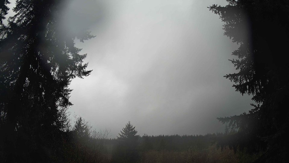
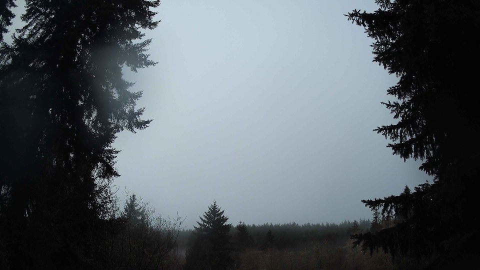
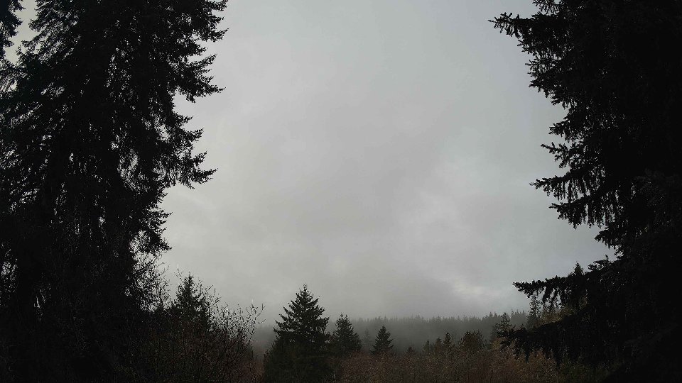
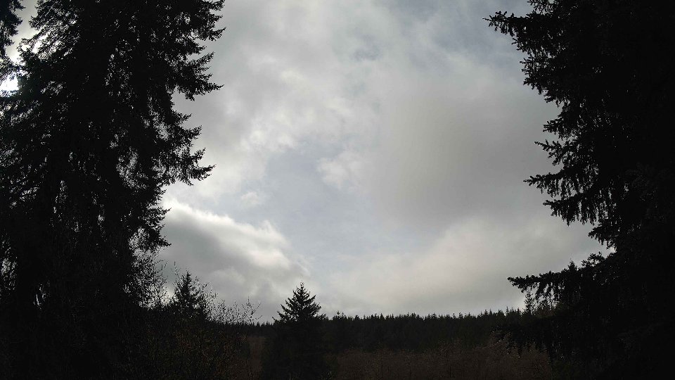
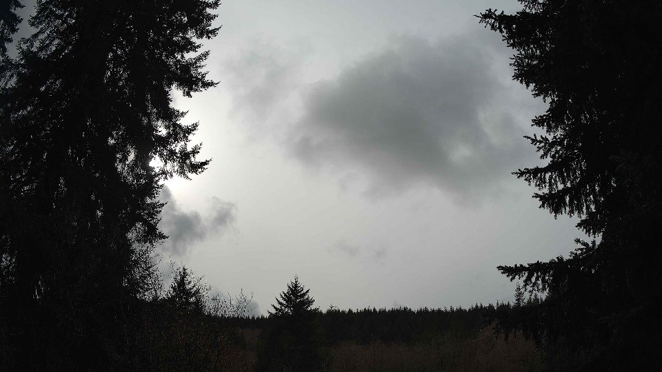
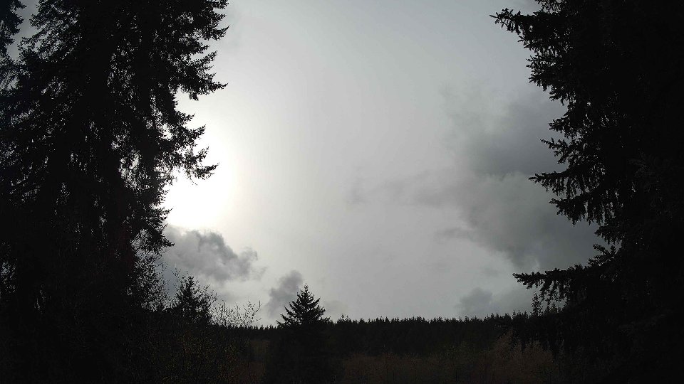
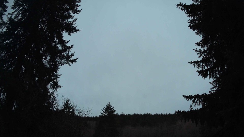
As the day progressed into midday, the cloud cover remained thick, though there was a slight shift in the characteristics of the clouds. The surface winds decreased slightly to an average of 9.0 mph, while the winds at 100 meters dropped to 15.9 mph. The clouds began to reflect this transition; low cloud cover diminished to 18.2%, while mid-level clouds still dominated at 89.2%, and high clouds retreated to 94.5%. This layering effect provided a fascinating sight, with the high clouds moving more swiftly than those below, leading to a visual contrast in the sky. The winds at higher altitudes continued to outpace those at the surface, maintaining a degree of wind shear that contributed to the layered cloud appearance, while the total precipitation grew to 0.05 inches, hinting at the lingering moisture in the atmosphere.
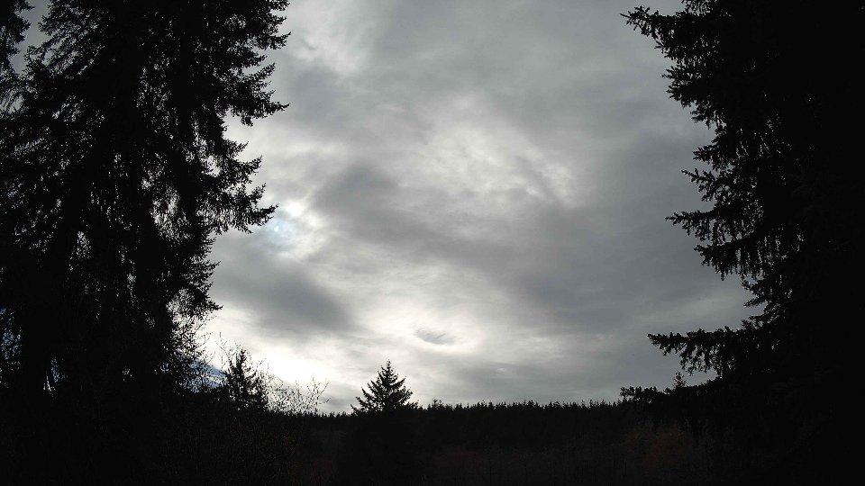
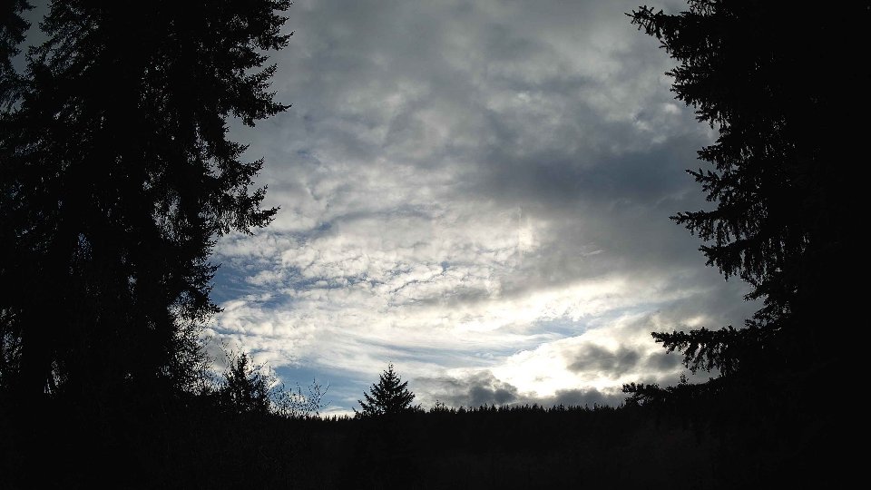
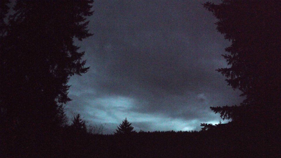
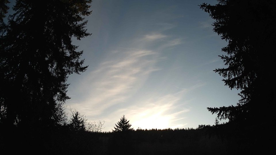
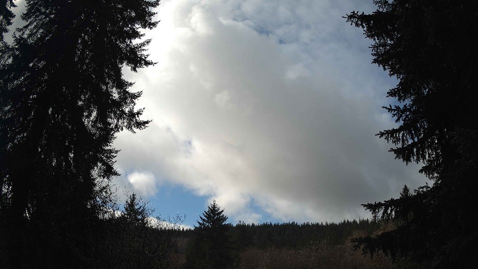
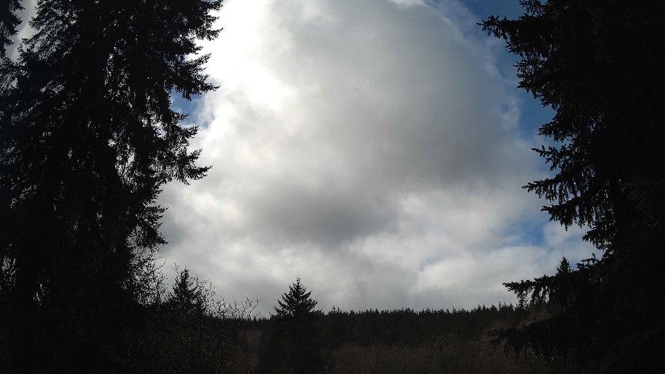
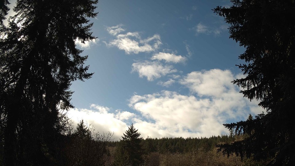
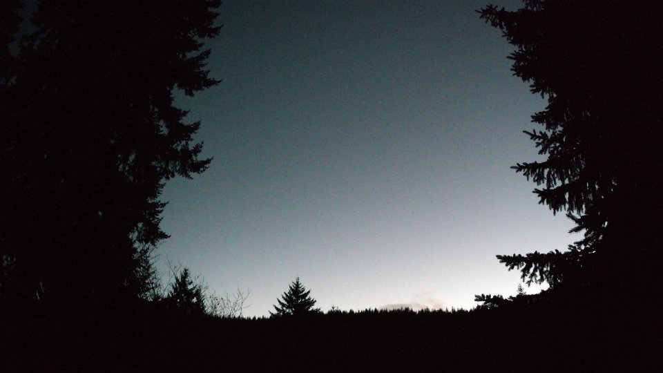
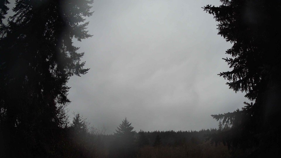
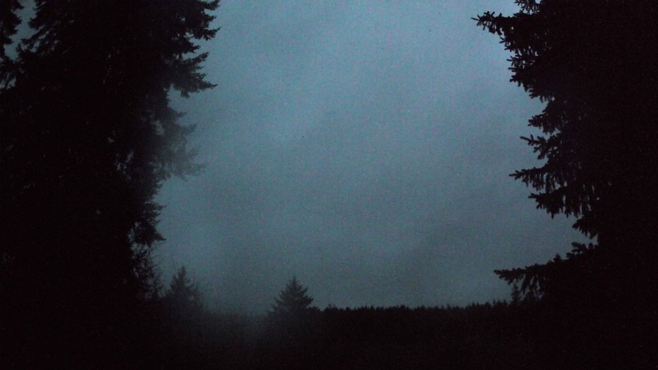
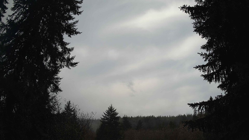
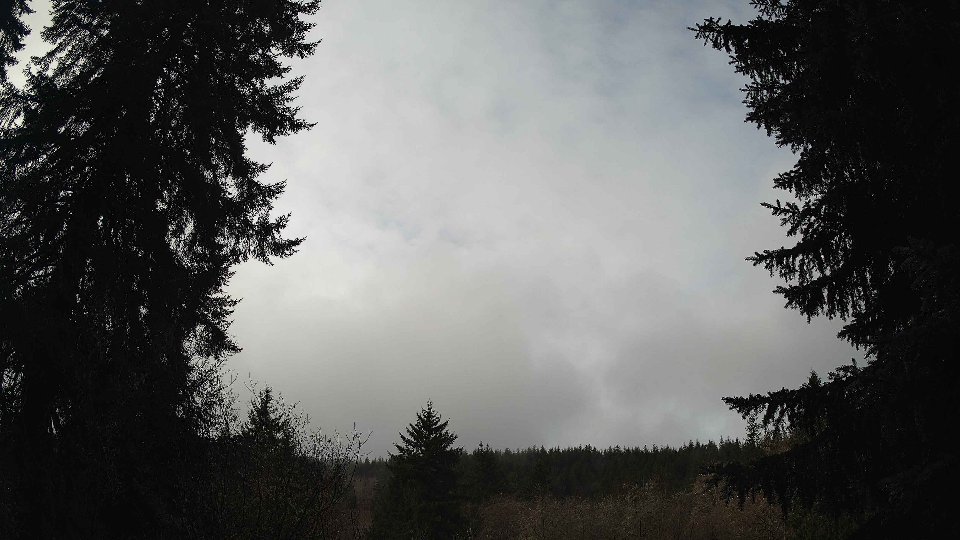
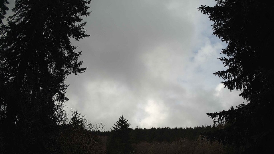
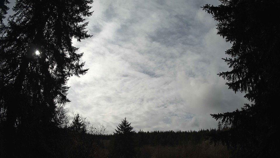
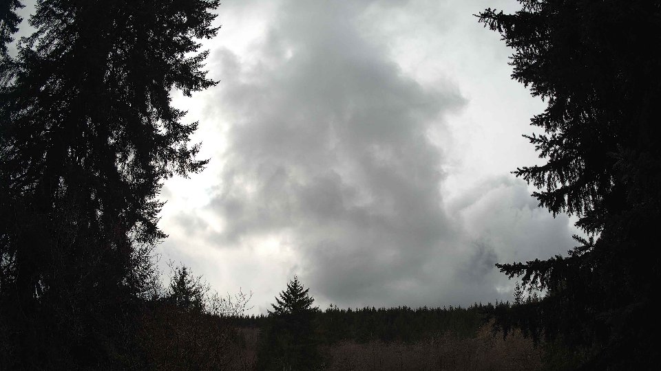
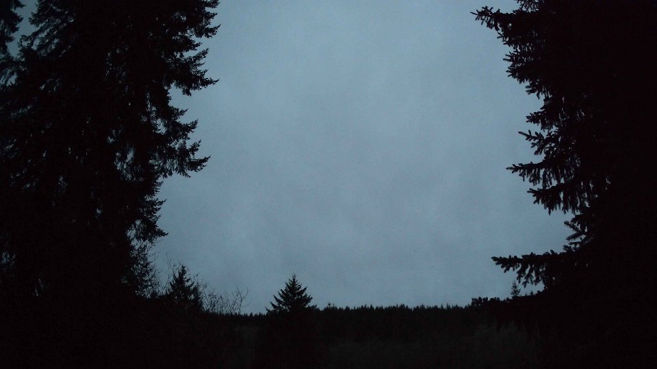
In the evening, conditions began to stabilize further, with surface winds averaging 8.8 mph and aloft winds slightly decreasing to 15.4 mph. The cloud cover also reduced to an average of 88.0%, with low clouds falling to just 6.2% and mid-level clouds maintaining a solid 87.0%. High clouds, however, had notably cleared, sitting at 26.5%. This evening transition created a gentler and more serene sky, with the turbulent effects of earlier conflicts between the wind layers dissipating. The cooler temperature of 45.1°F marked the end of a day that had begun with a dramatic display of cloud movement and precipitation. The lingering moisture in the atmosphere resulted in a soft, textured sky as hues of gray and blue intermingled, leaving behind a calming yet captivating visual narrative of February 21st.
February 21st, 2026 Timeline
Screenshots with weather data (wind layers, clouds, precipitation)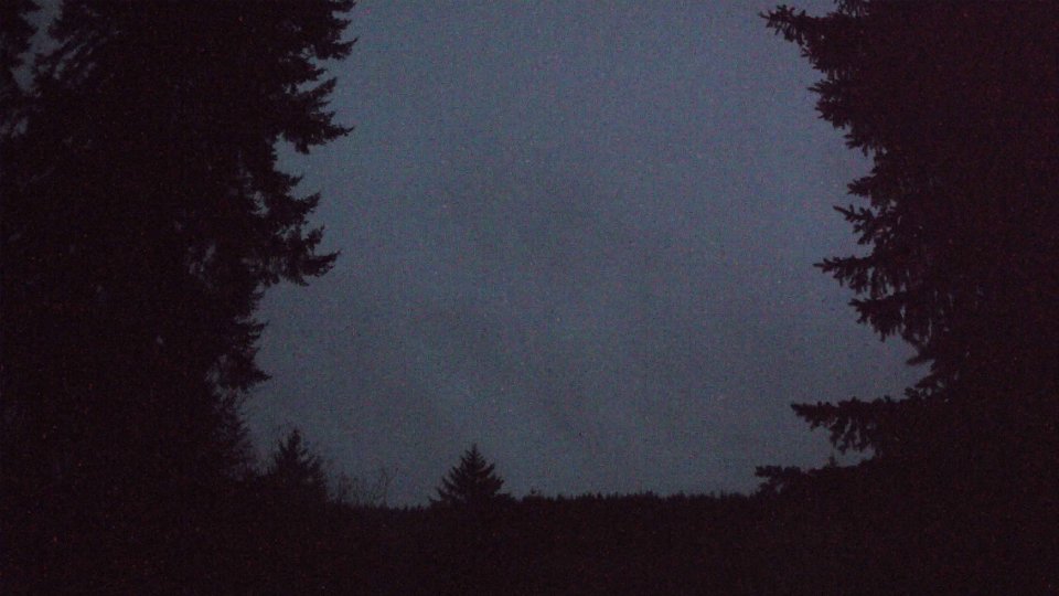


Weather Info for February 21st, 2026
Sunset: 5:47 PM