February 28th, 2026 Timelapse
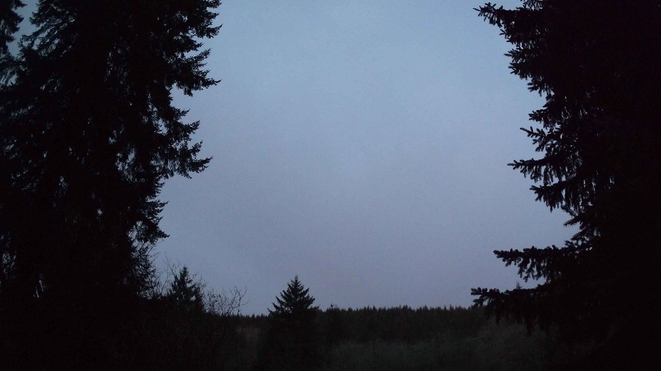
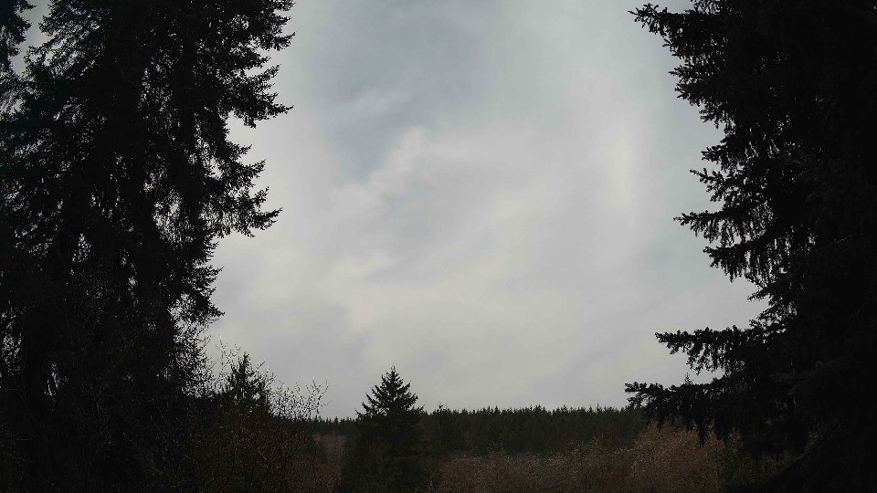
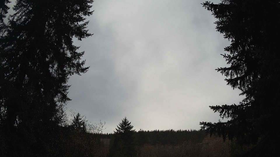
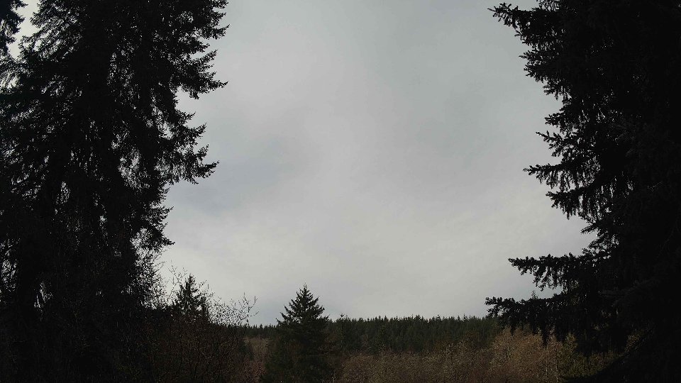
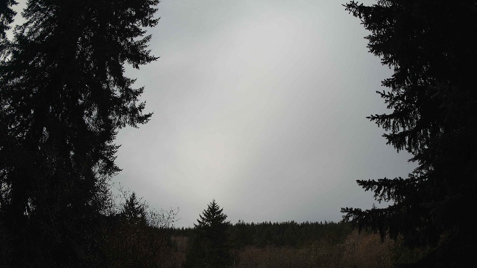
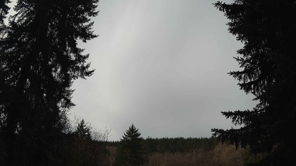
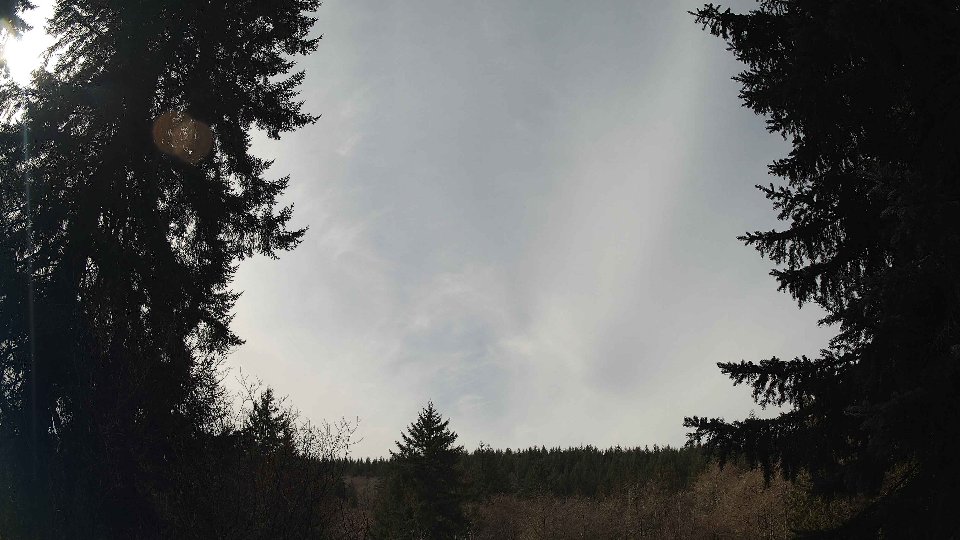
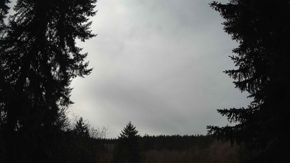
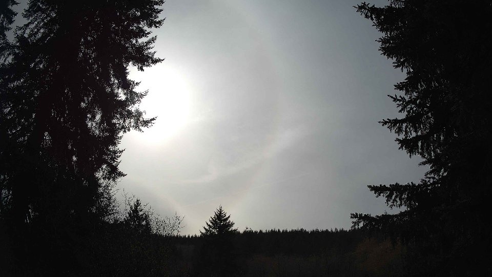
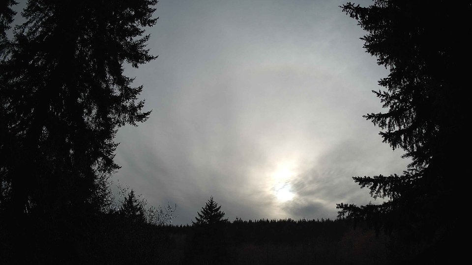
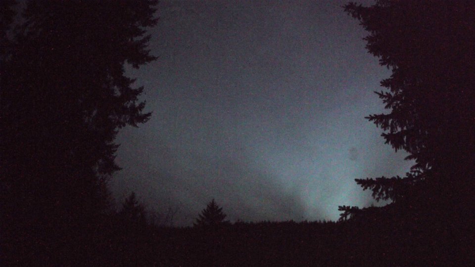
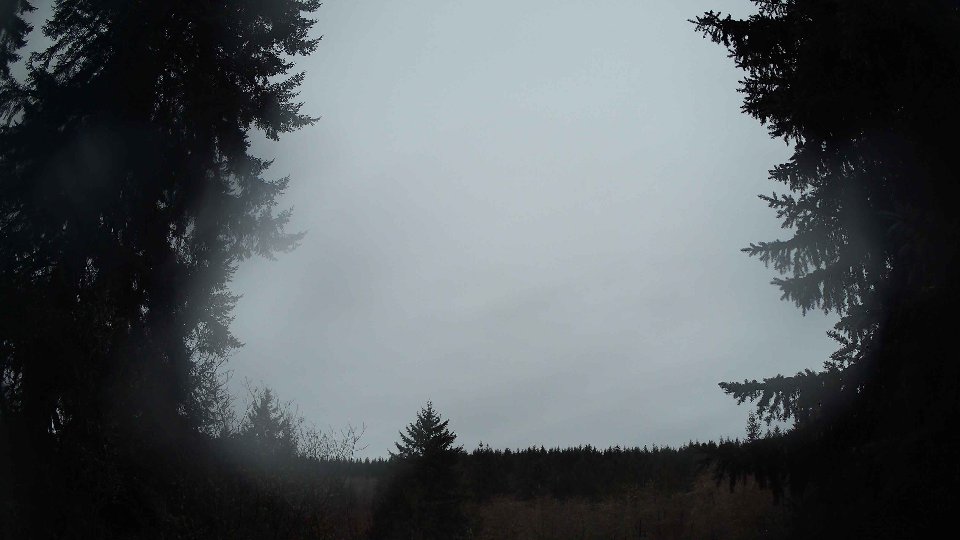
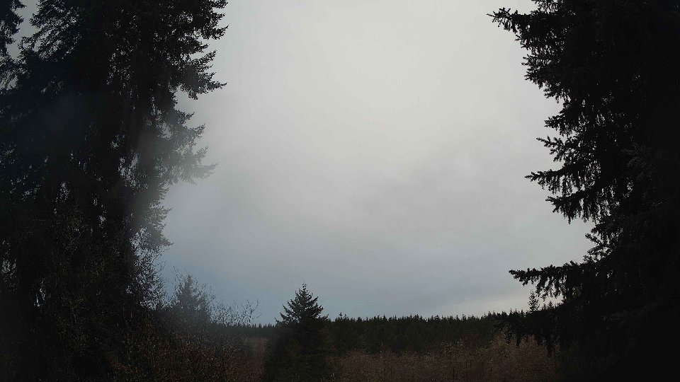
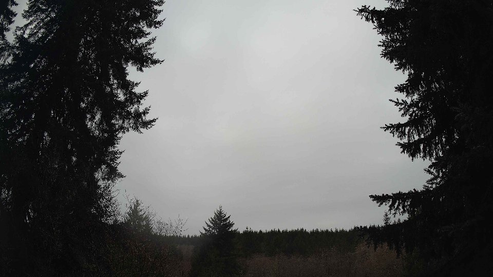
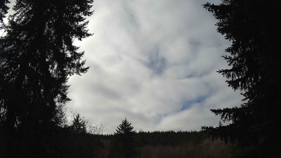
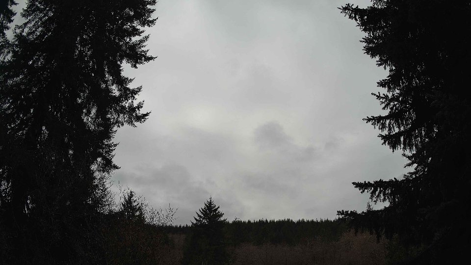
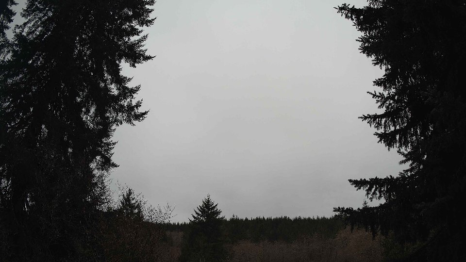
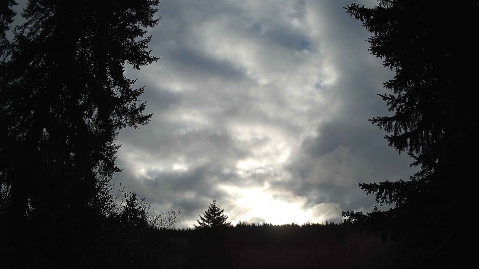
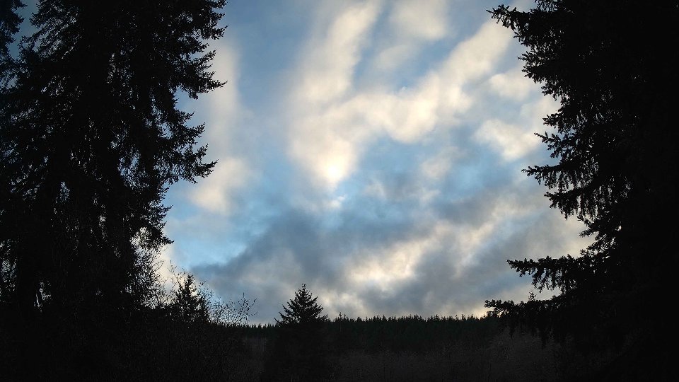
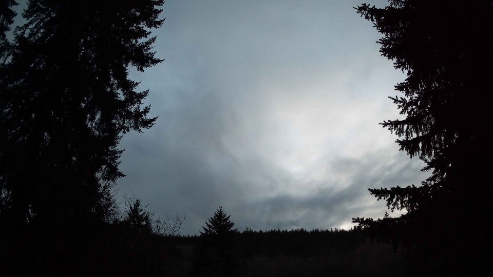
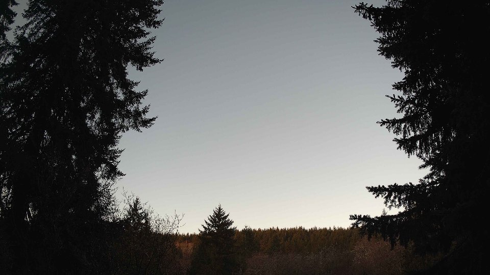
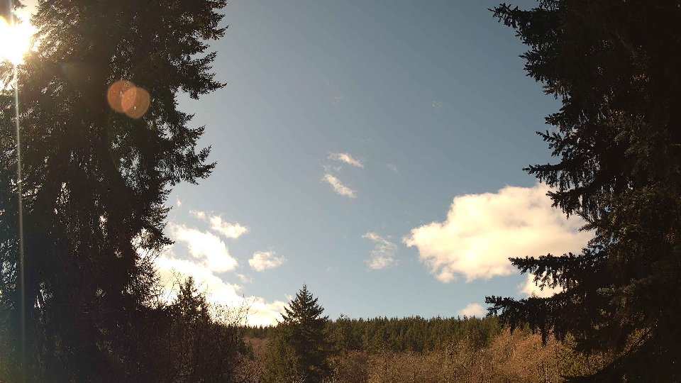
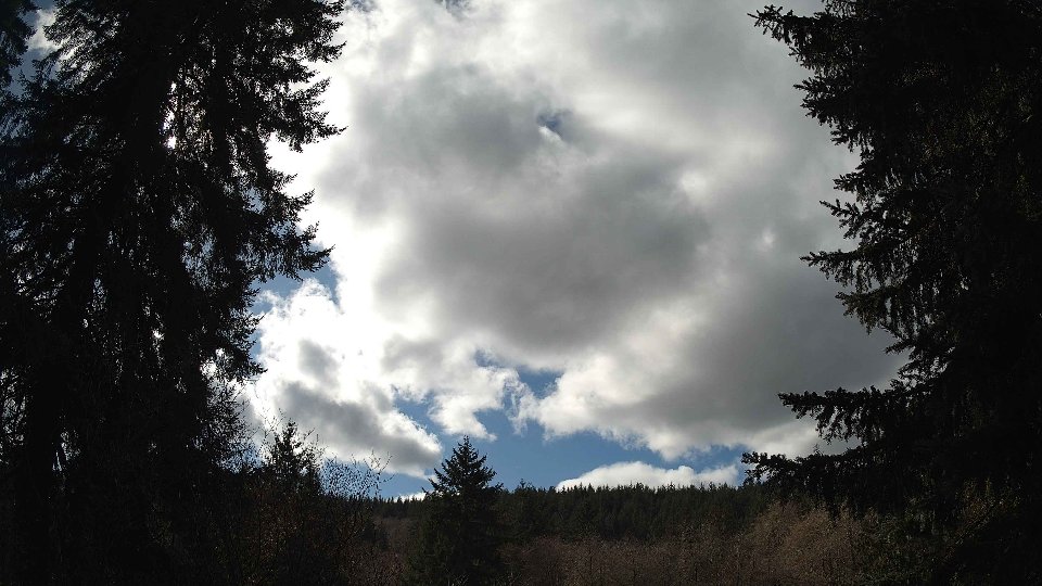
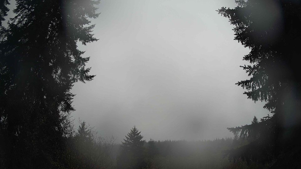
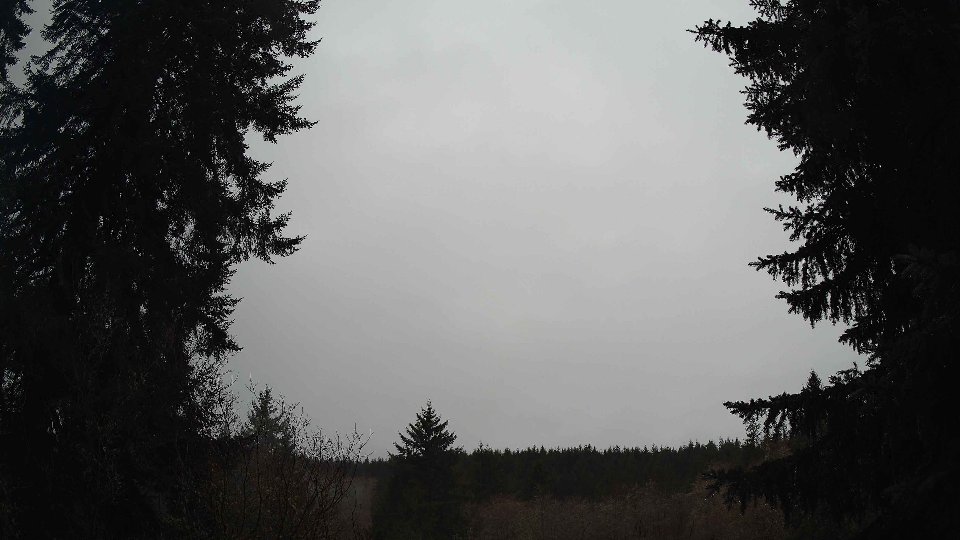
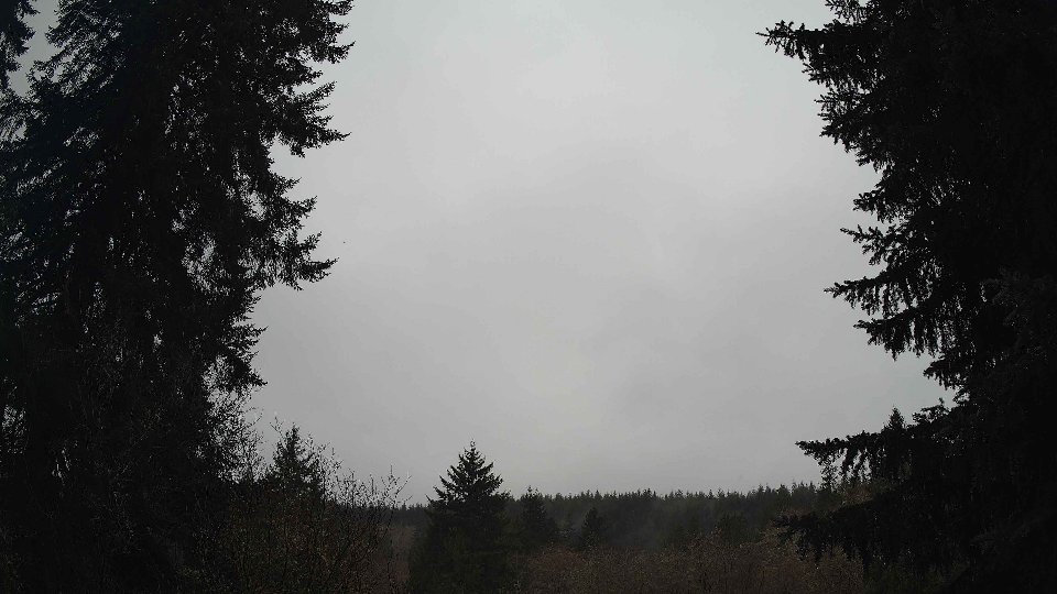
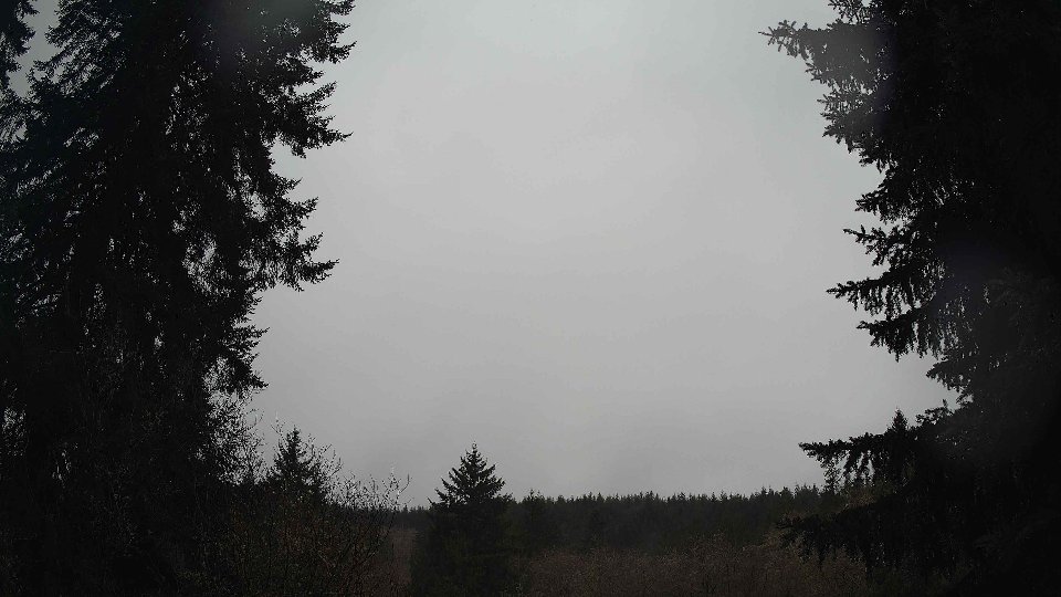
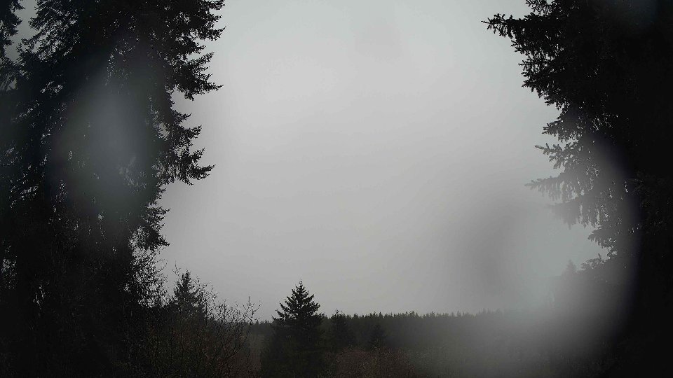
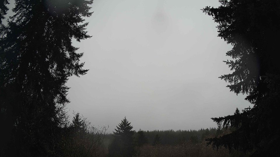
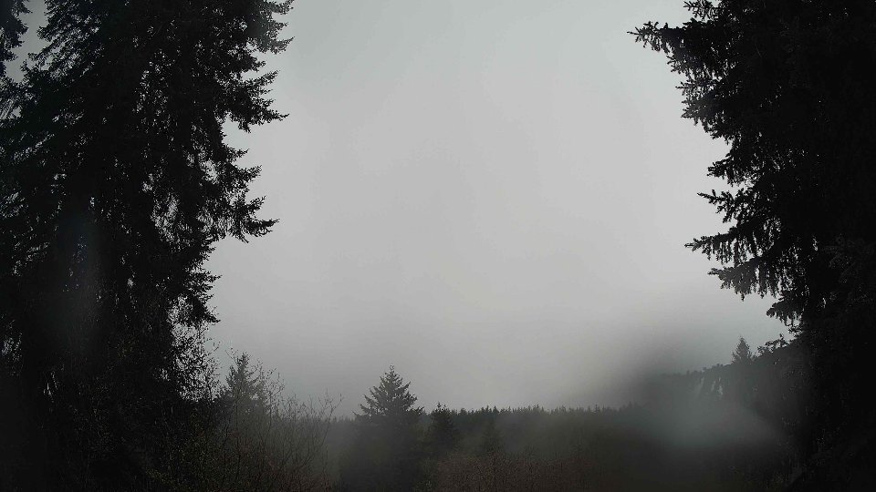
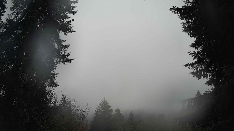
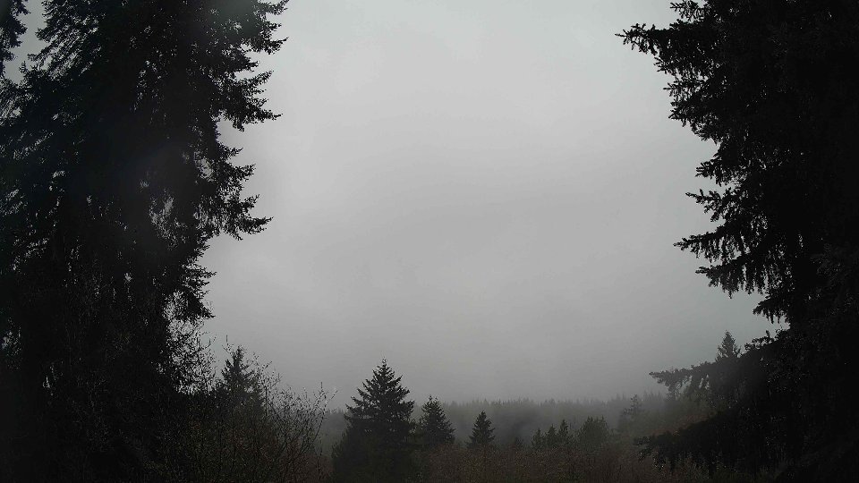
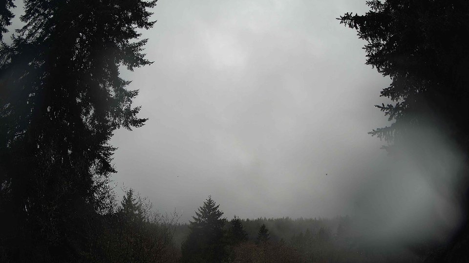
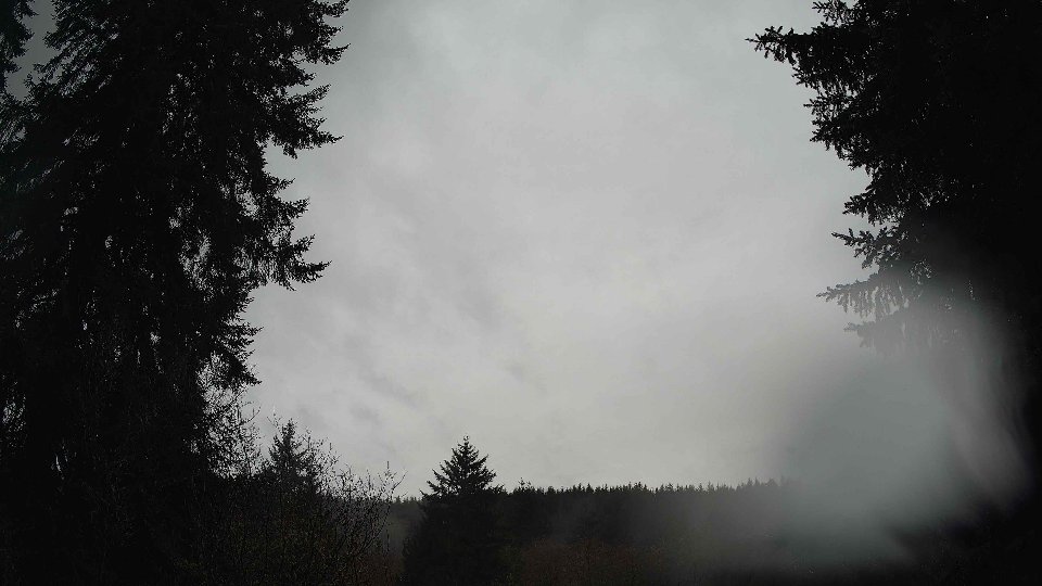
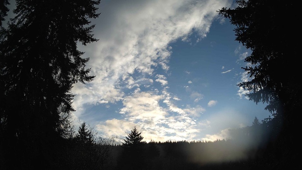
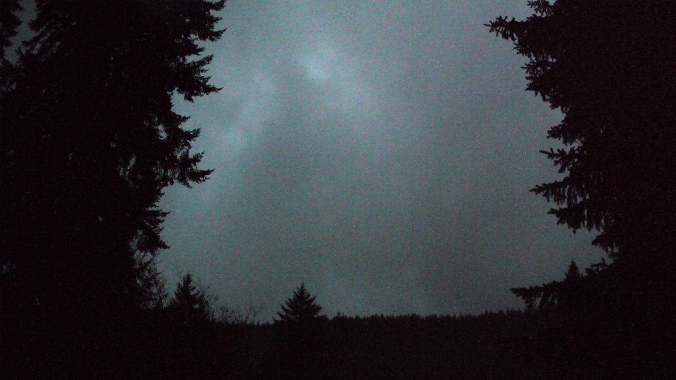
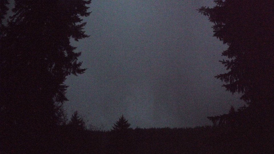
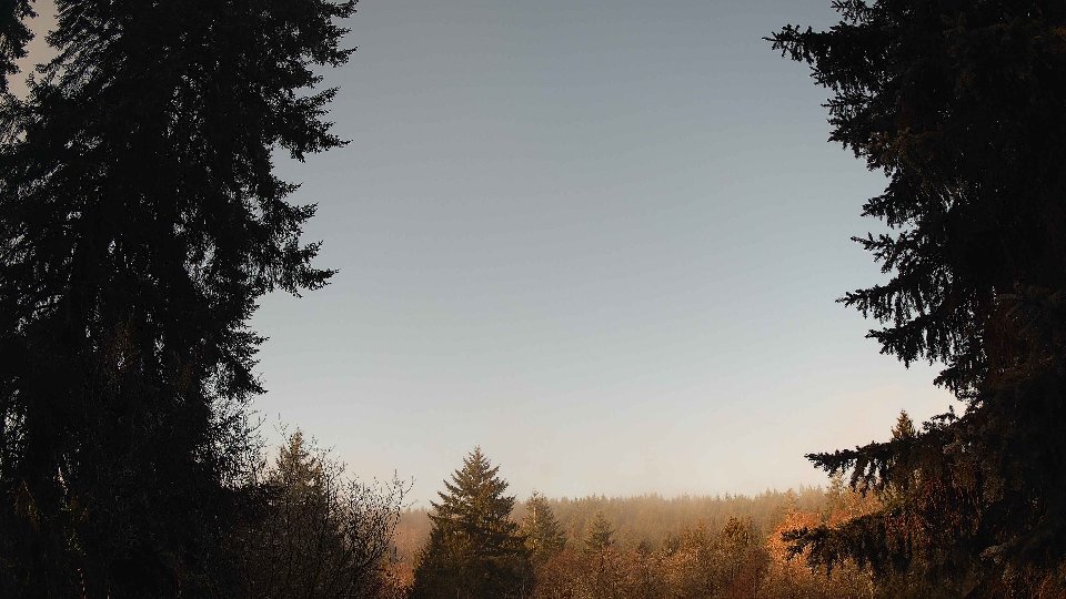
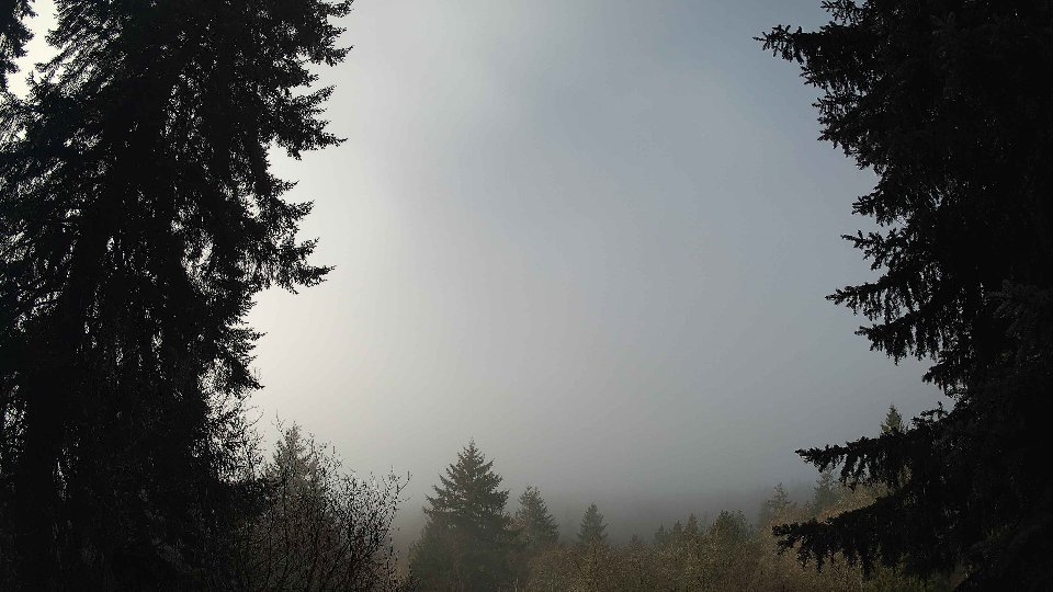
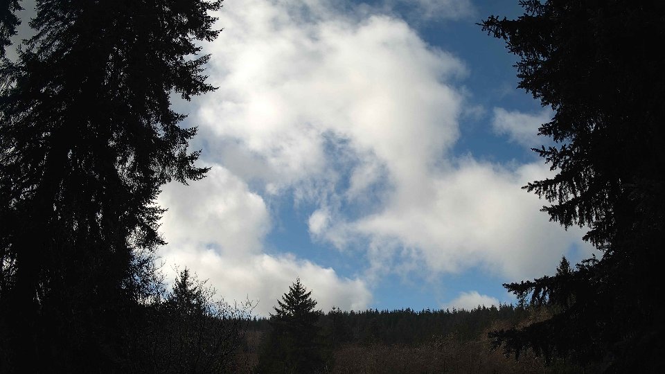
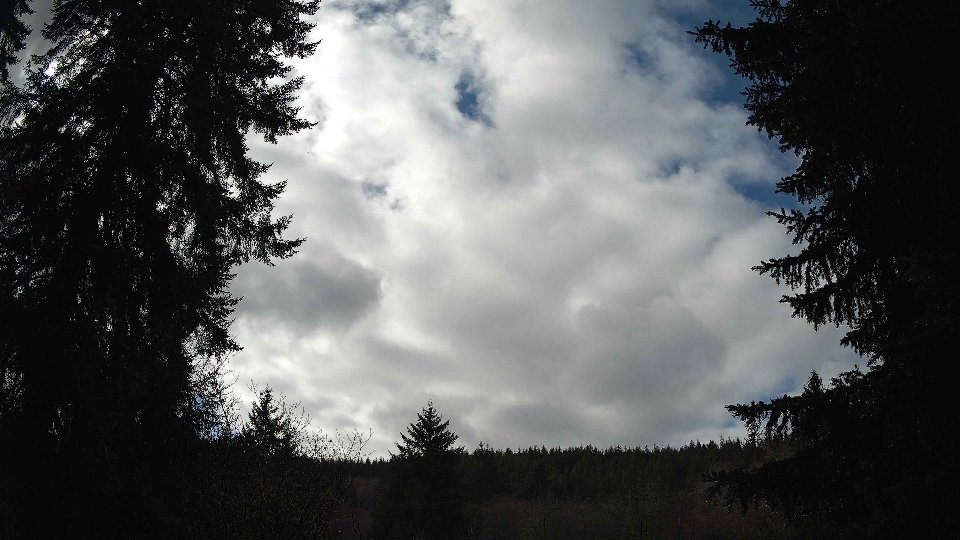
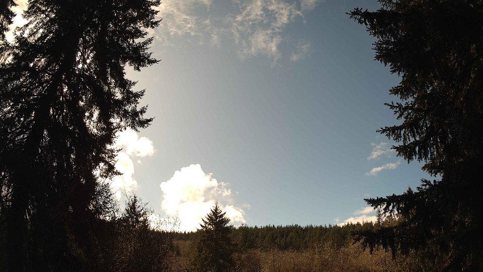
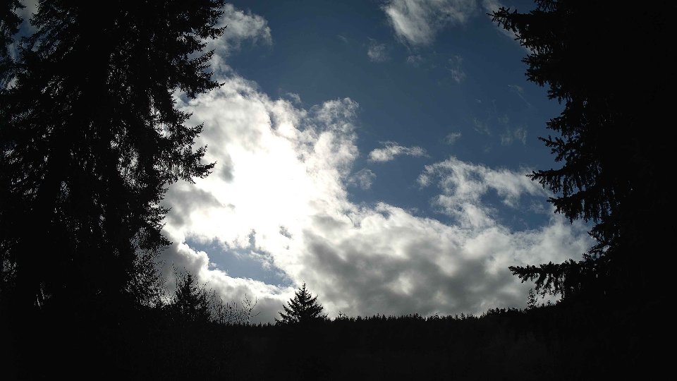
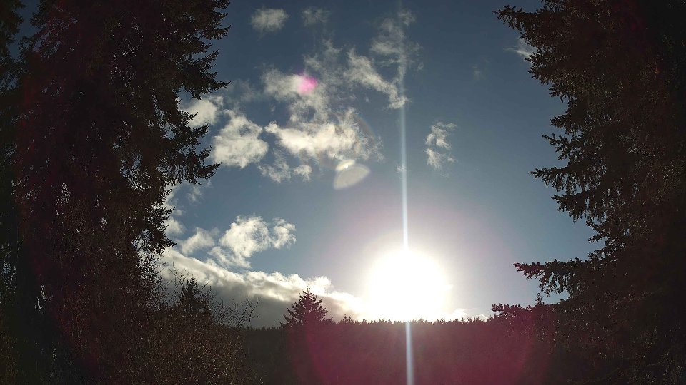
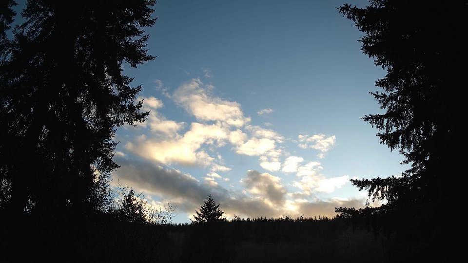
On February 28th, the day began under a blanket of dense cloud cover, with the sky entirely shrouded in clouds at 100% coverage. Surface winds were calm, averaging just 2.6 mph, while winds at 100 meters above ground reached a slightly brisker average of 5.9 mph. This gentle breeze at the surface contrasted with the stronger winds aloft, creating a notable wind shear effect that contributed to the layered appearance of the clouds. The low cloud layer comprised about 45.5% of the total cloud cover, while the high clouds completely filled the sky, providing a muted and gray backdrop. Despite the chilly morning temperature of 36.4°F, there was no precipitation, allowing the clouds to simply drift lazily, driven by the upper winds that were pushing them in a different direction than those at the surface.
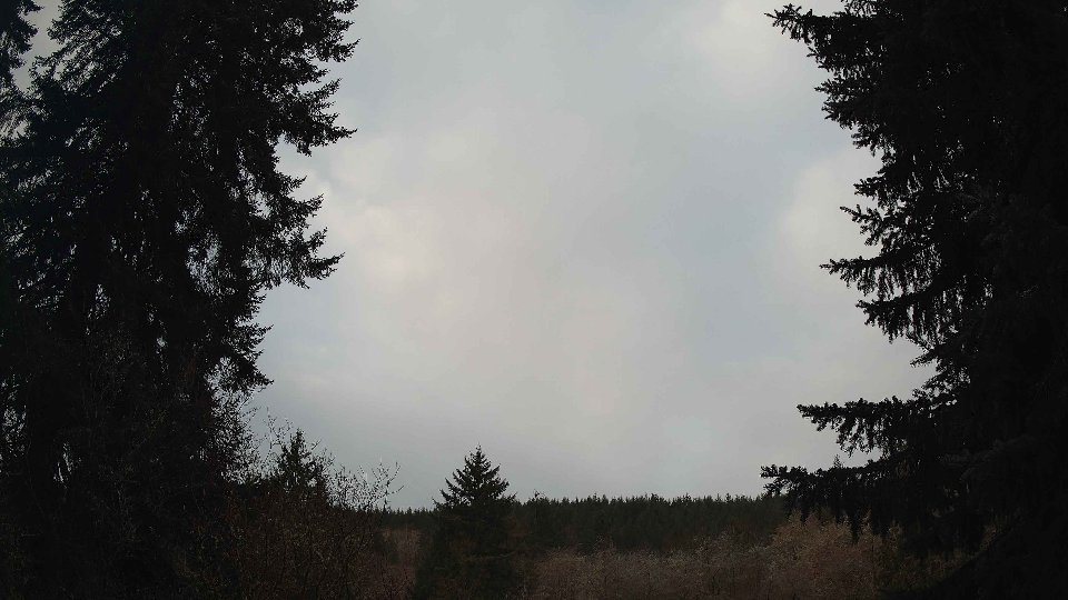
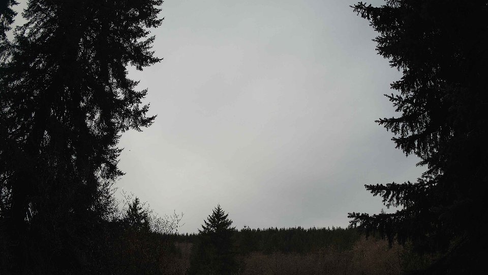
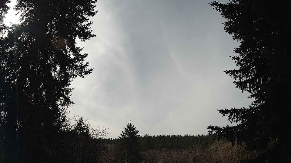
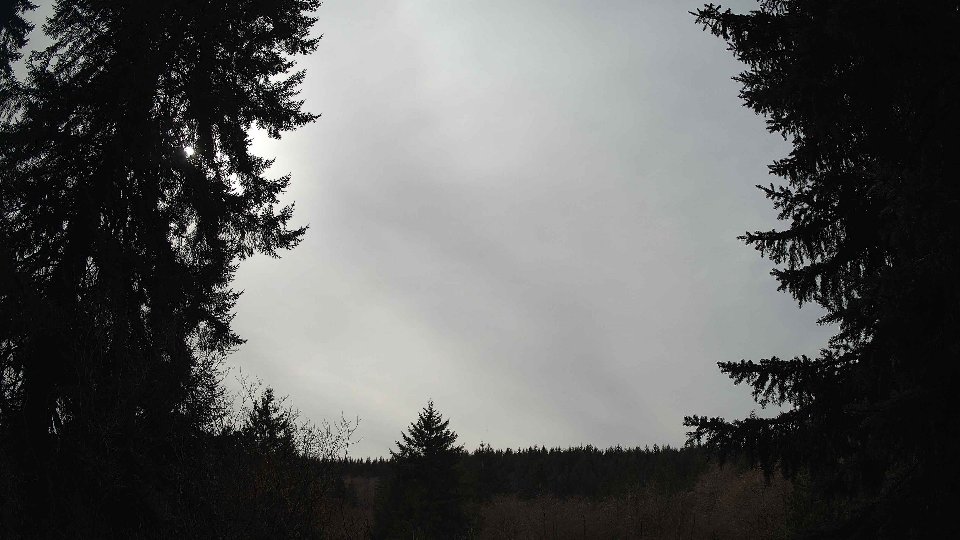
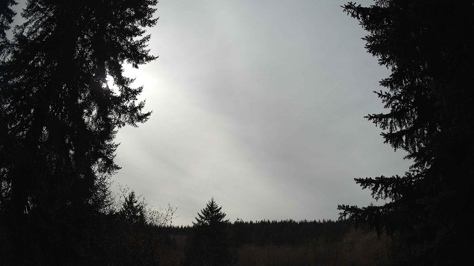
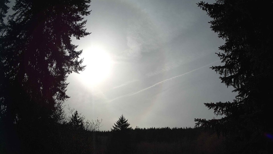
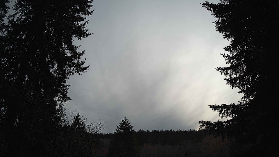
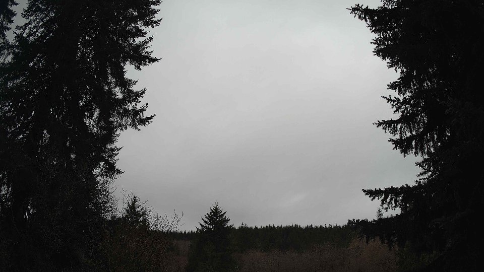
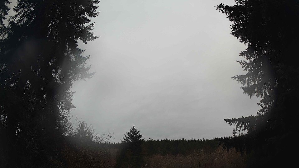
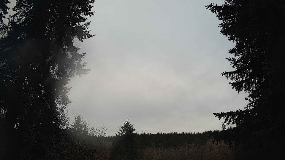
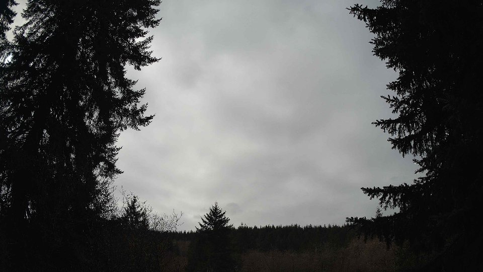
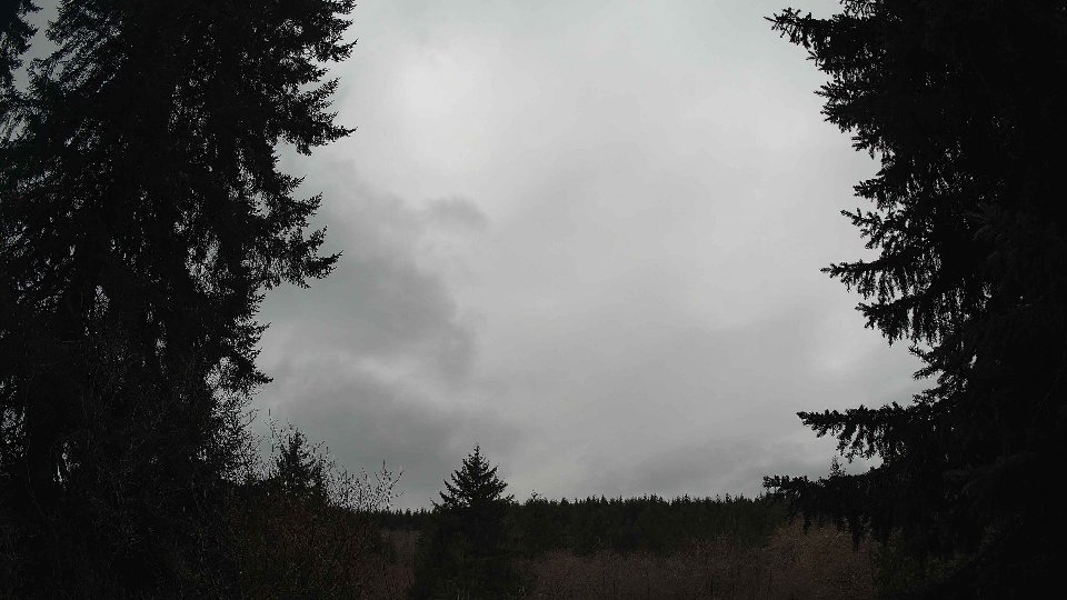
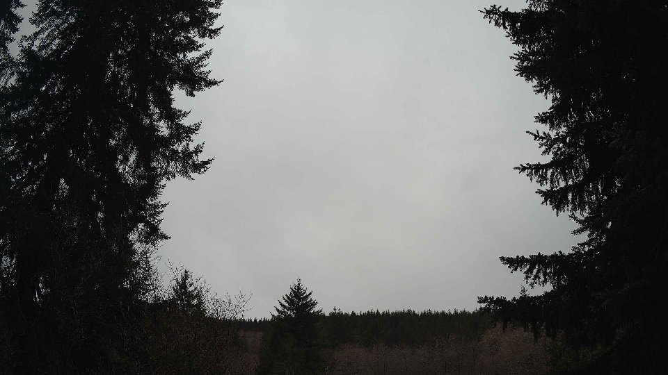
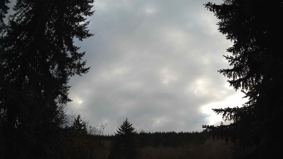
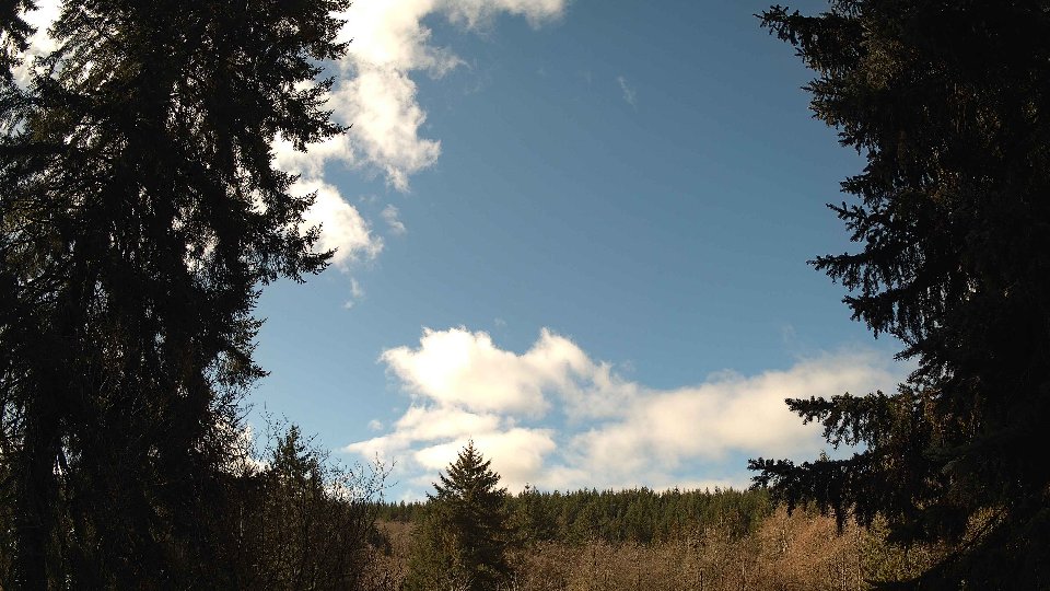
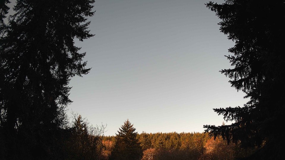
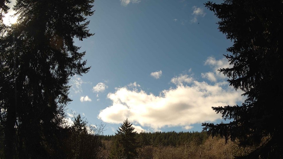
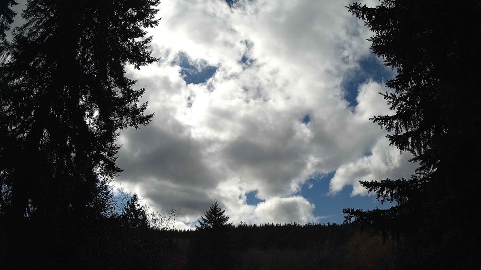
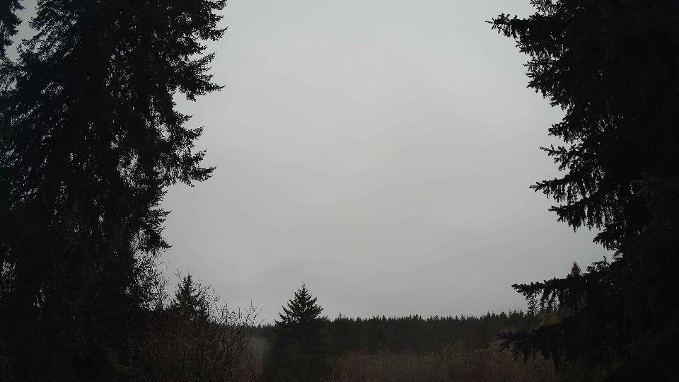
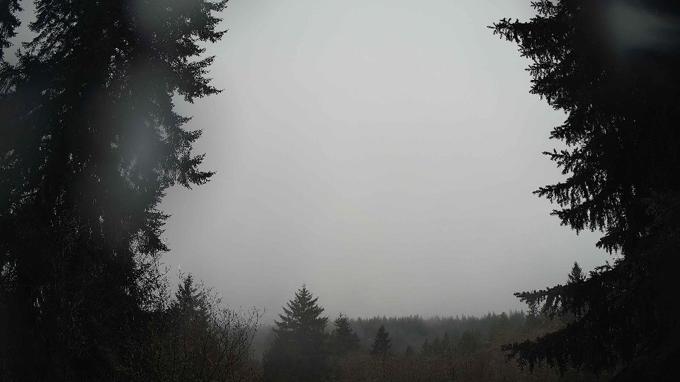
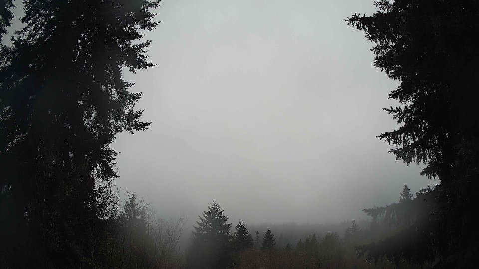
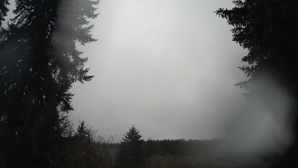
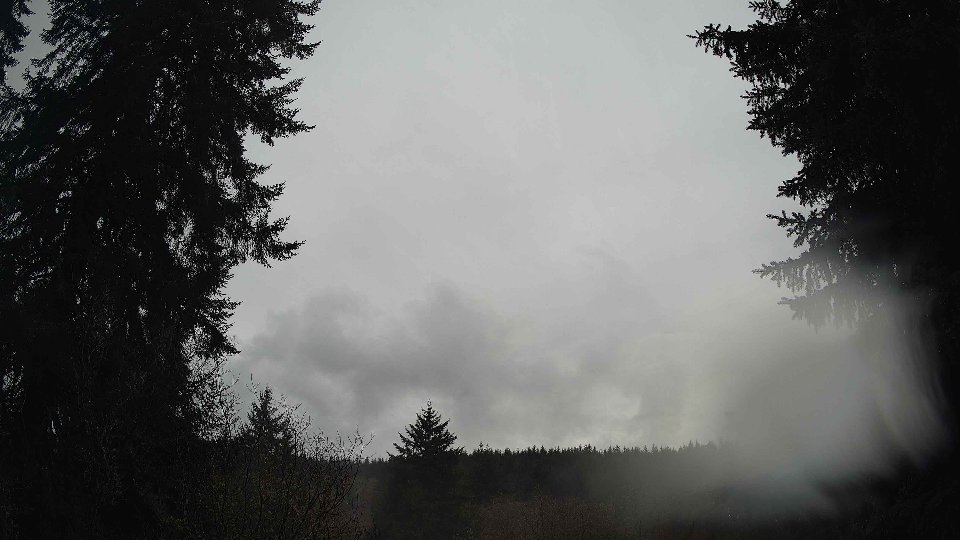
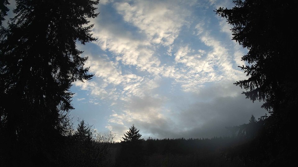
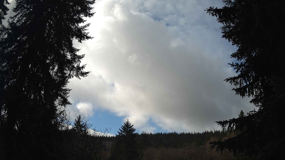
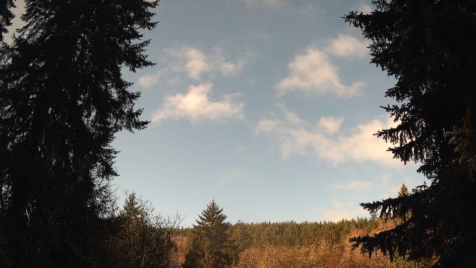
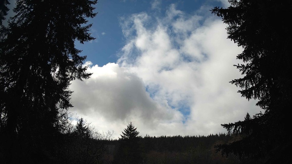
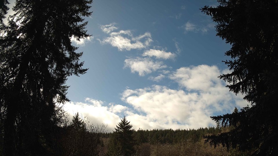
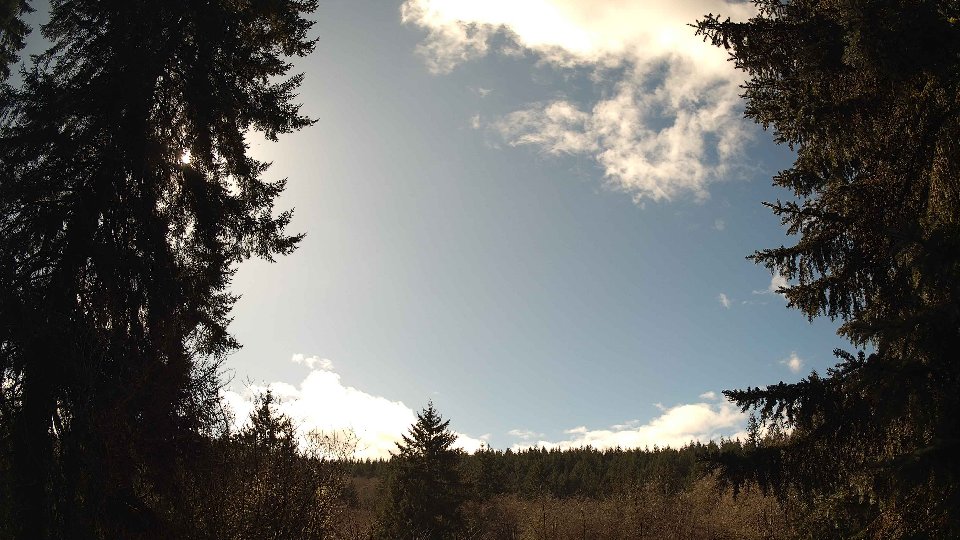
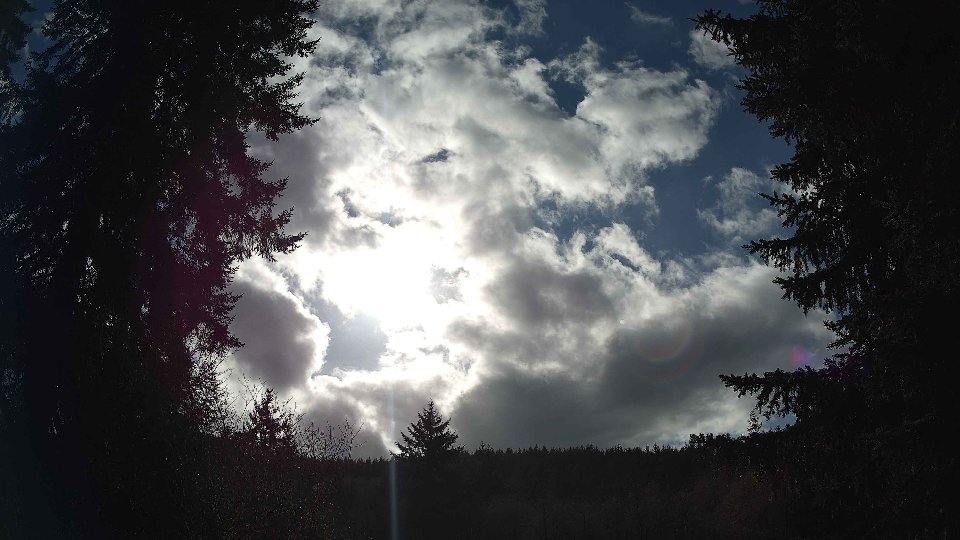
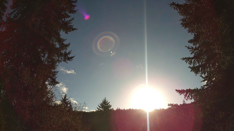
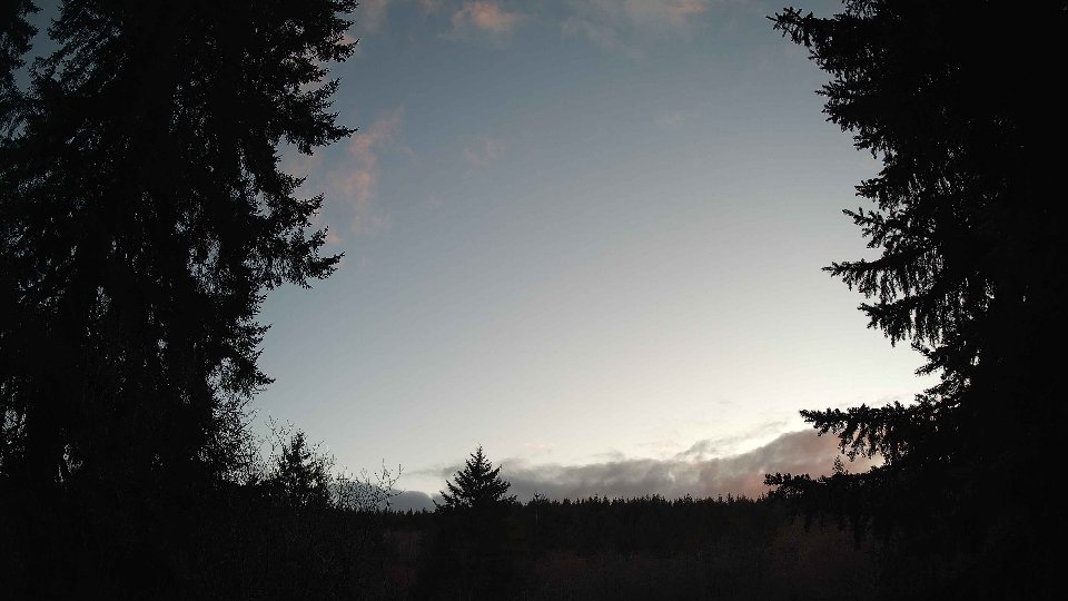
As the day progressed towards midday, temperatures began to rise to an average of 48.5°F, and the surface winds picked up slightly to 5.5 mph. Winds at 100 meters also increased their velocity to an average of 7.8 mph, but they continued to flow in a generally opposing direction to the surface winds. This ongoing wind conflict contributed to an intriguing dynamic in the cloud structure as the higher clouds moved faster across the sky, creating a striking scene of swirling gray and white. The cloud composition remained unchanged, maintaining 100% coverage with the low and mid-level clouds virtually gone, leaving only the high clouds to dominate the view. The turbulence created by these differing wind speeds and directions led to some fascinating cloud formations, as the slower-moving surface winds struggled to keep pace with their aloft counterparts.
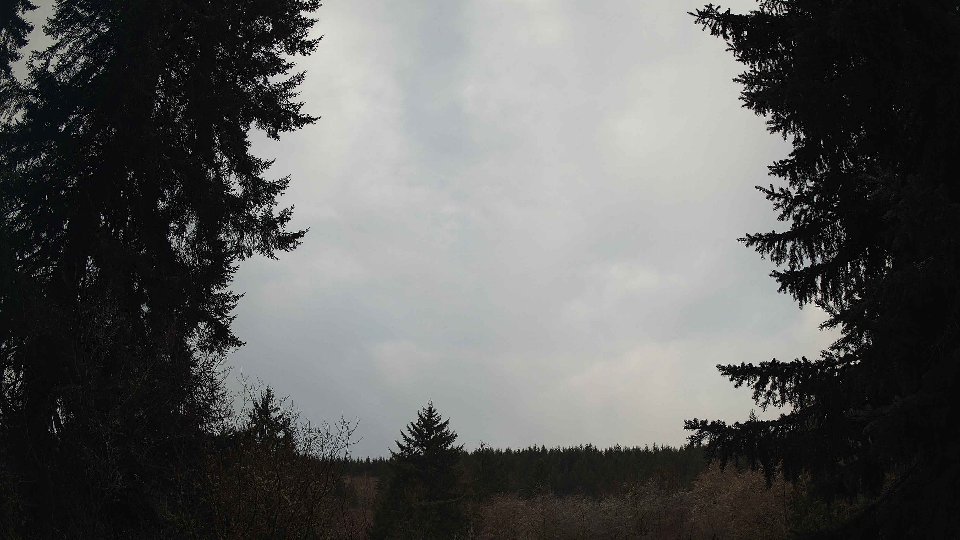
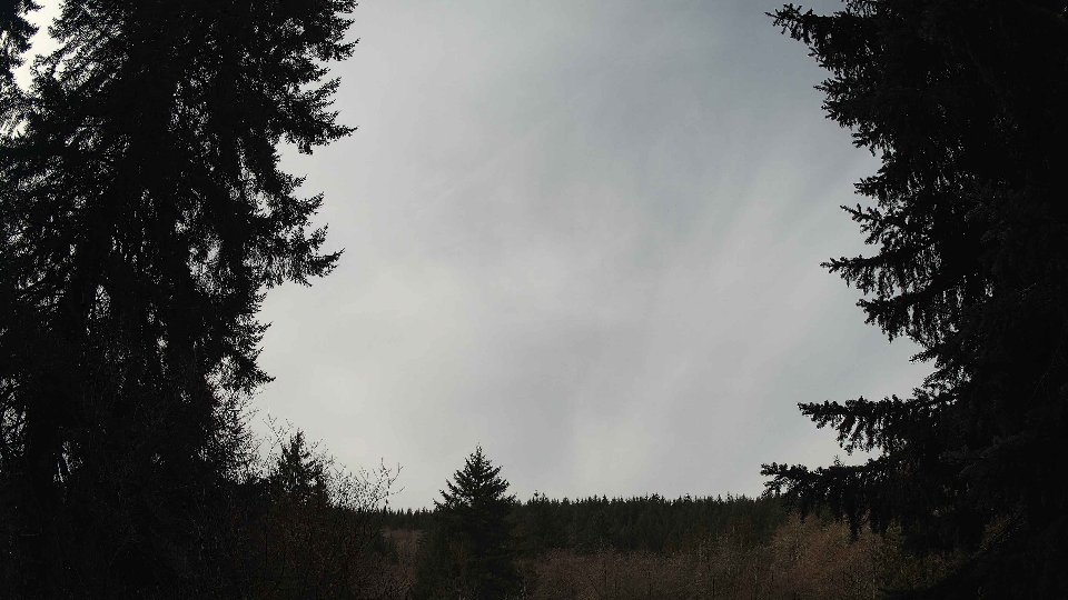
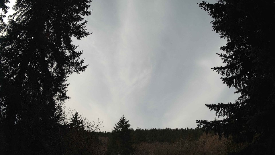
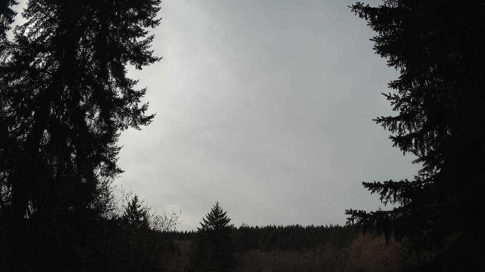
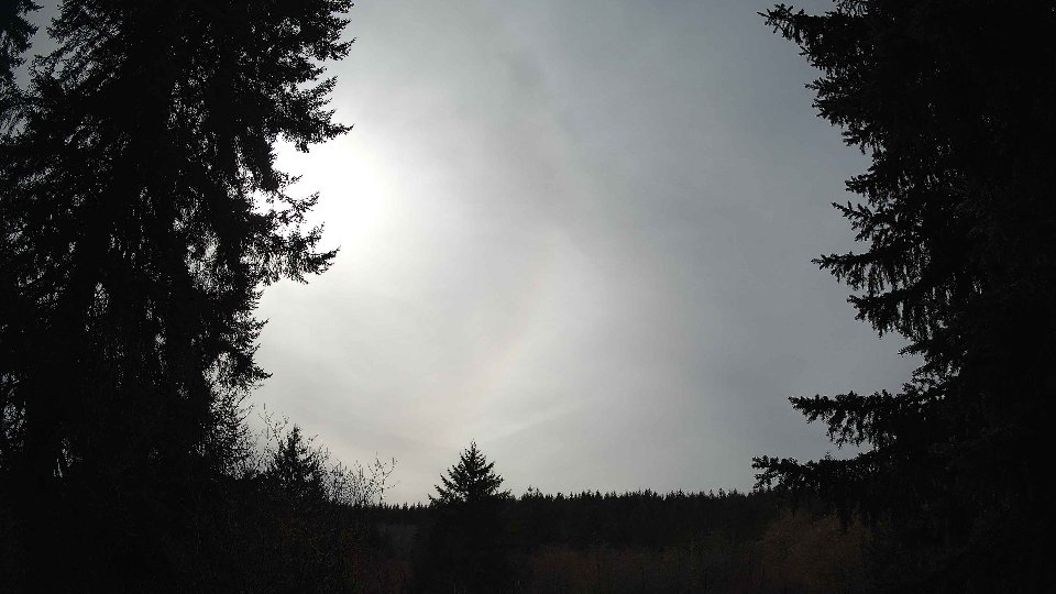
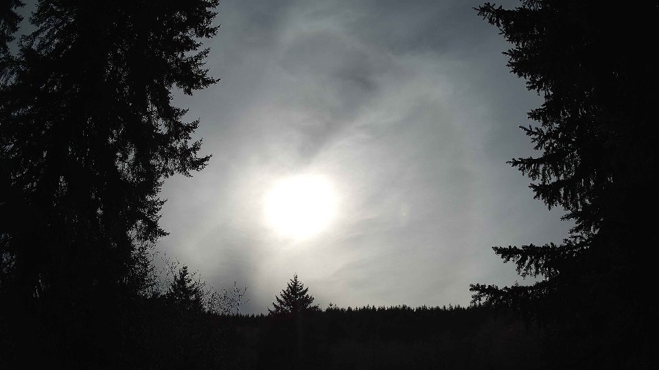
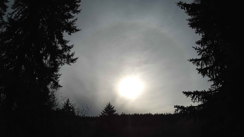
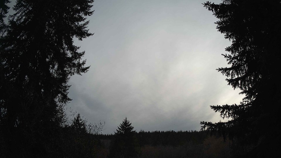
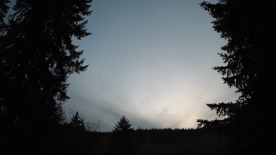
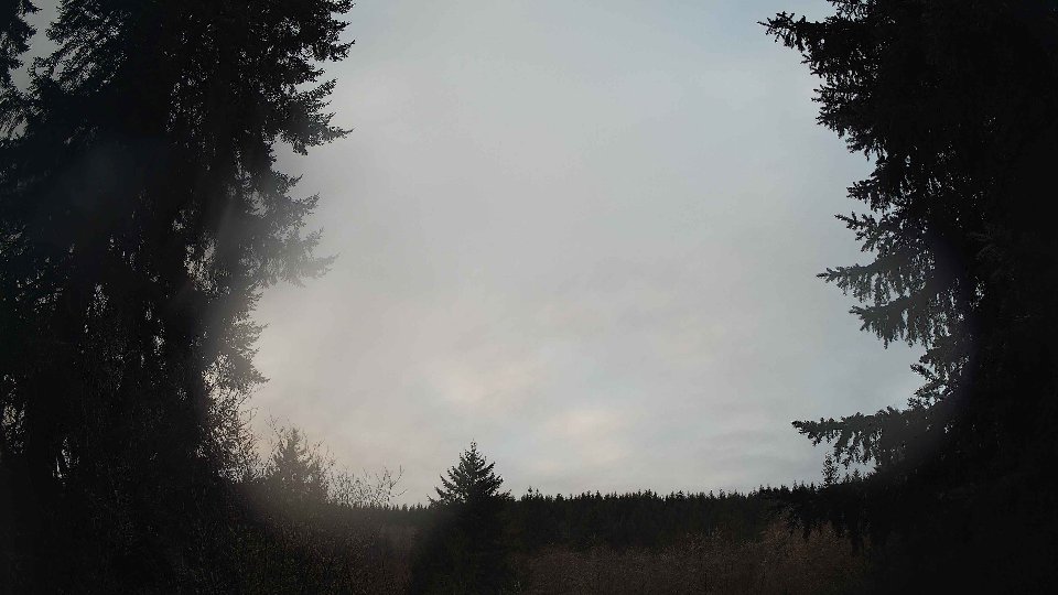
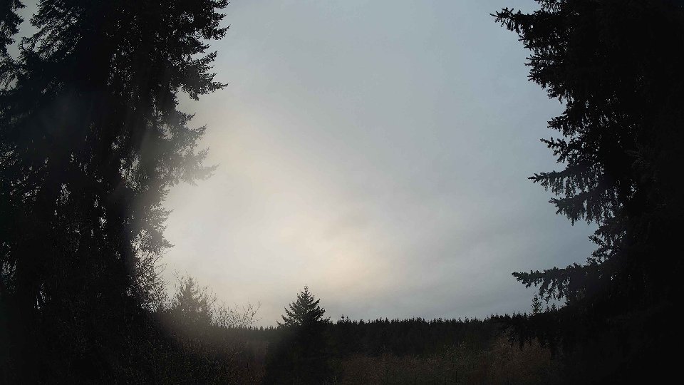
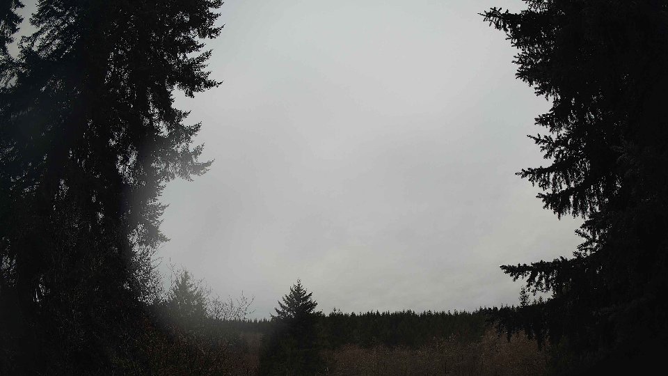
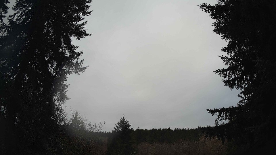
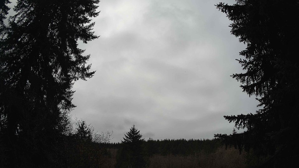
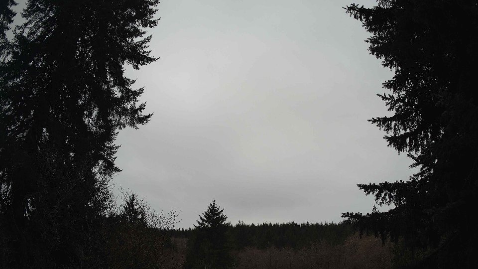
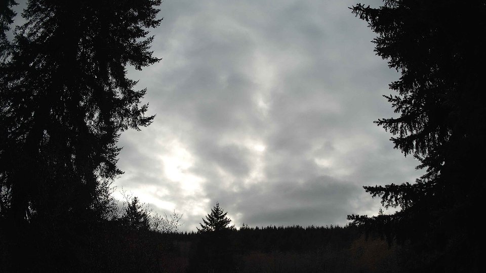
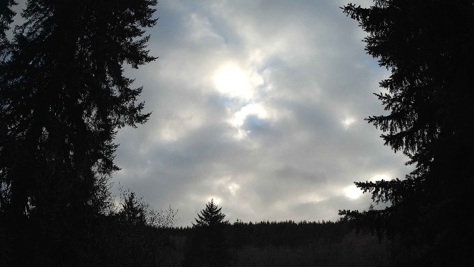
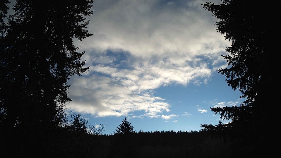
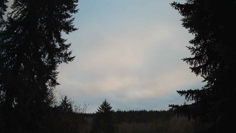
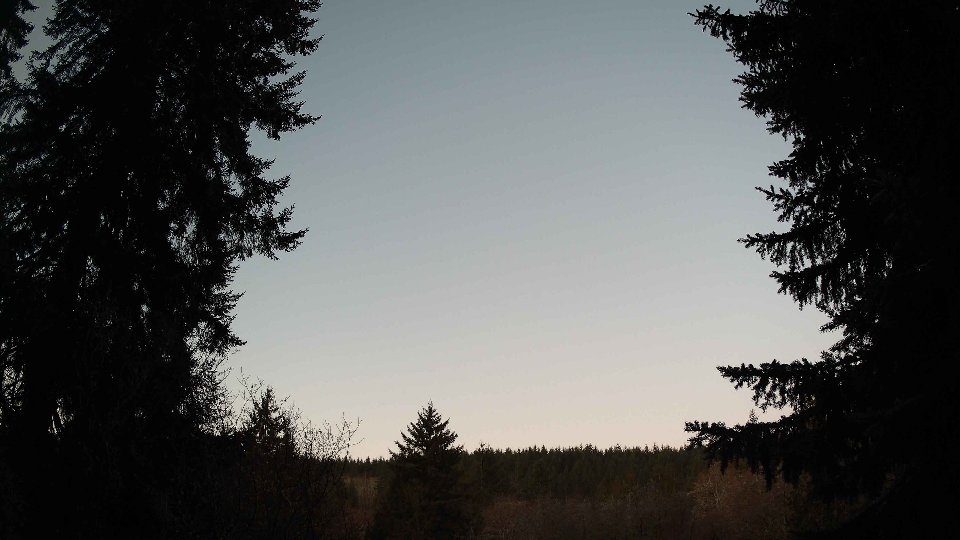
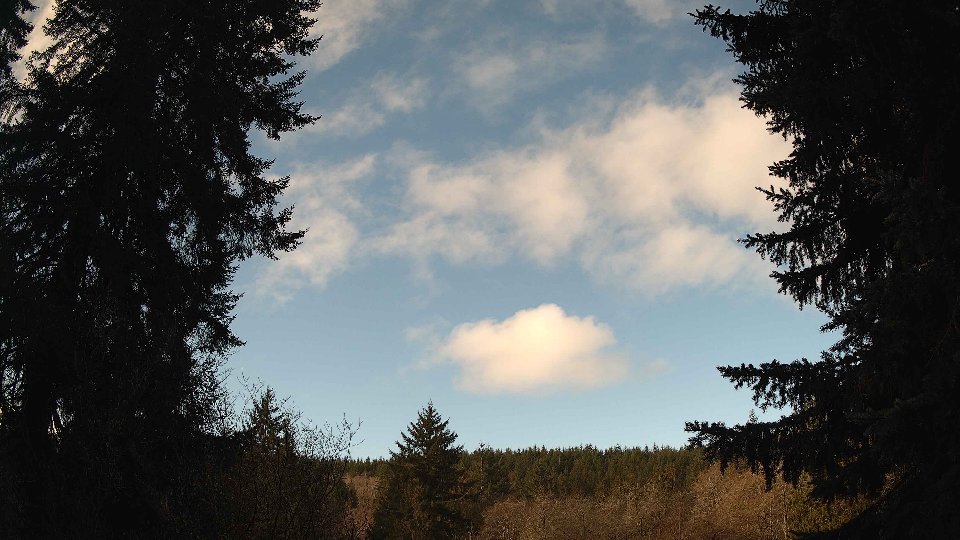
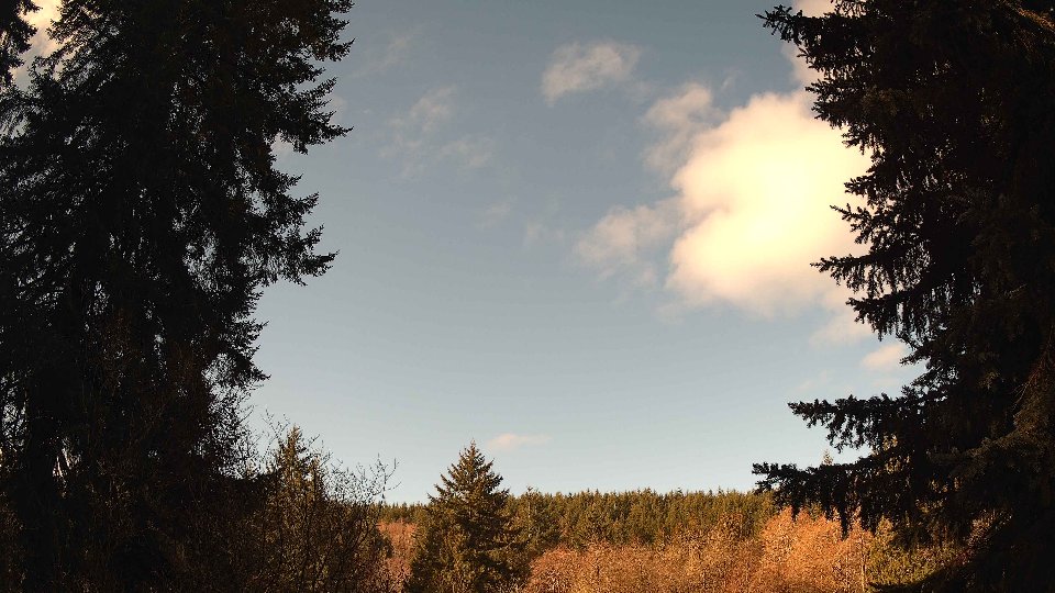
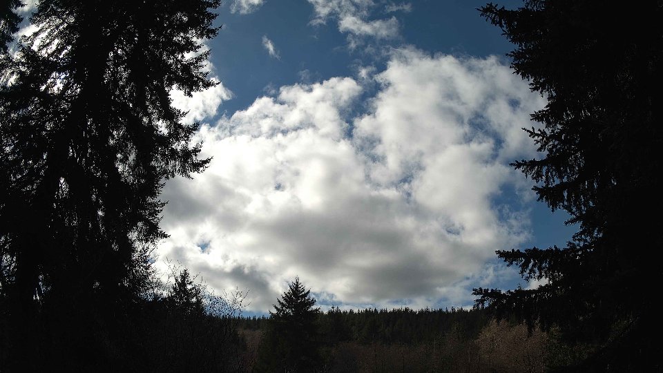
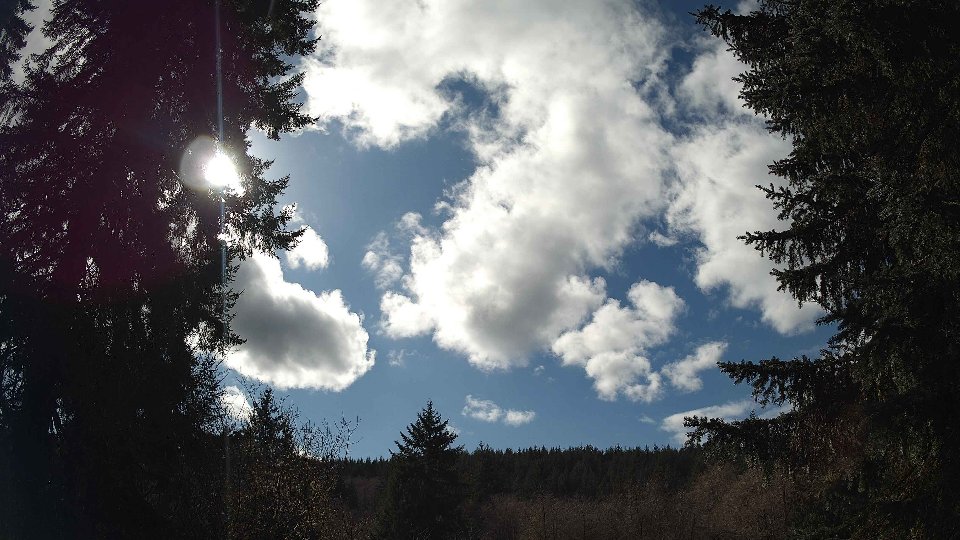
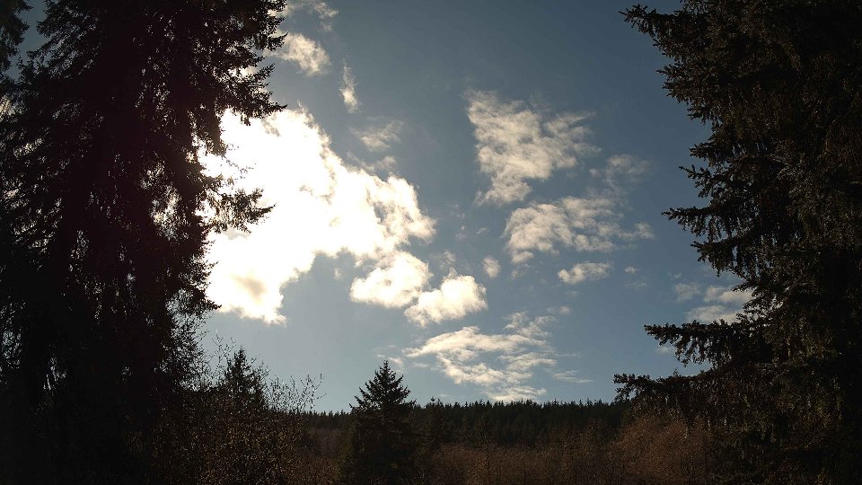
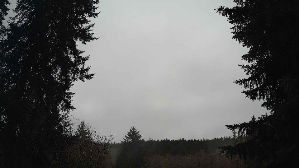
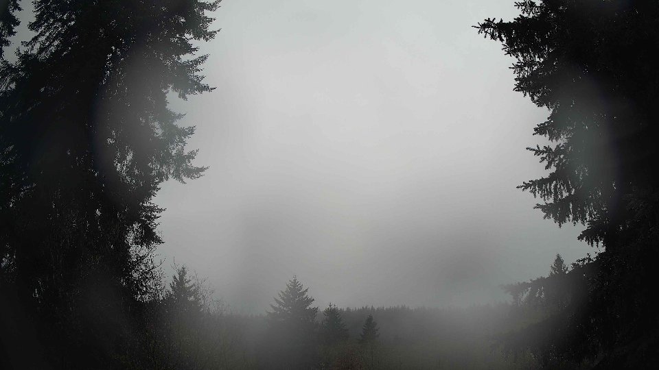
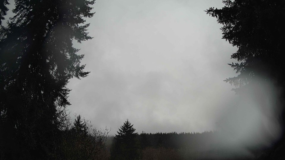
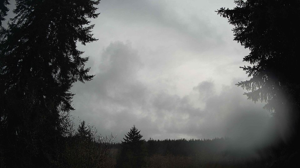
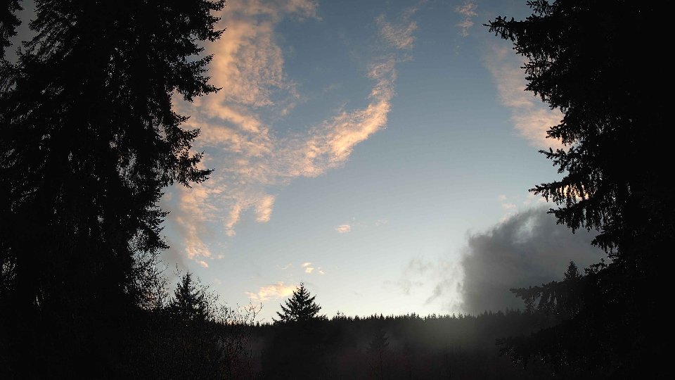
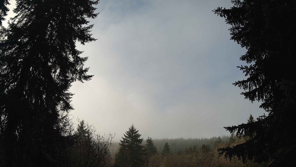
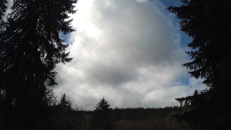
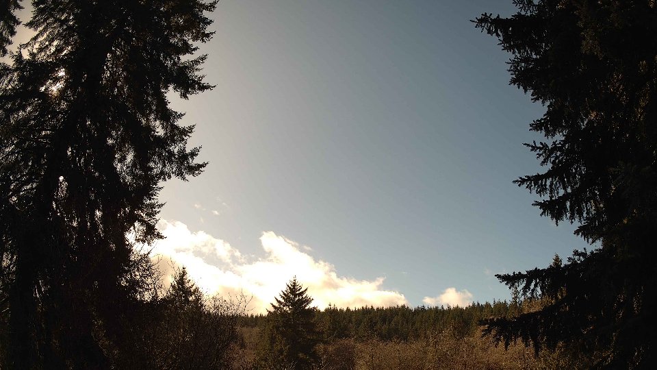
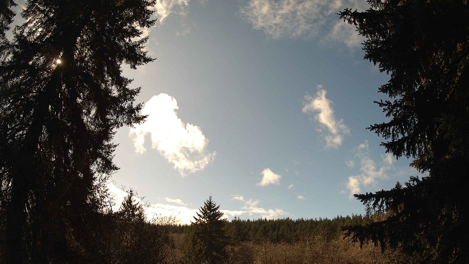
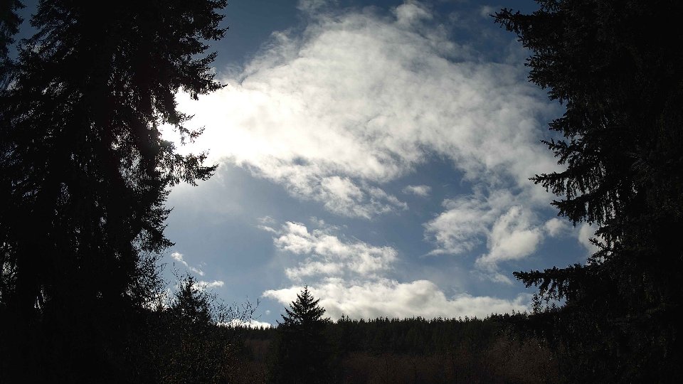
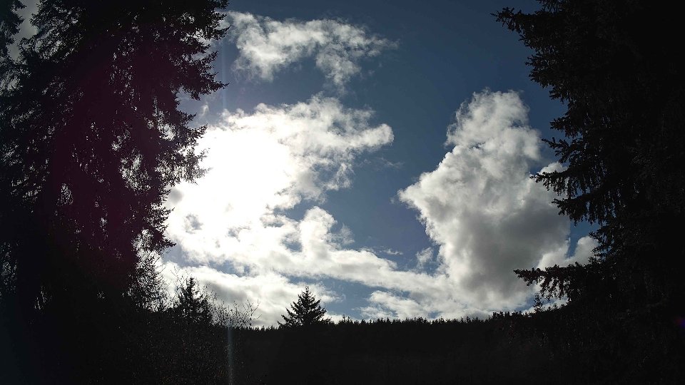
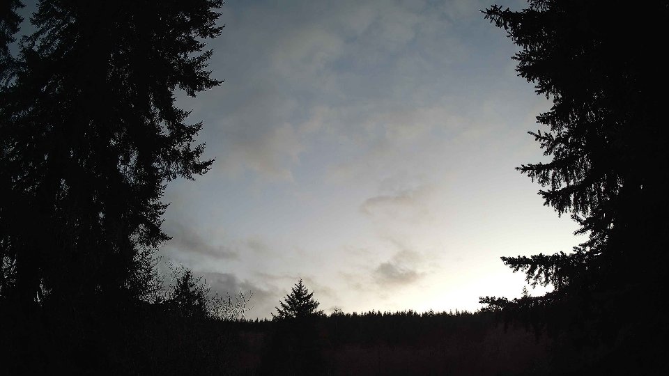
By evening, temperatures had climbed further to an average of 50.3°F, and while the surface wind slightly decreased to 3.7 mph, the winds aloft remained consistent at 7.4 mph. The skies were still completely covered in clouds, with no low cloud presence and only a bit of mid-level activity at 3%. The predominance of high clouds continued to create a dramatic and layered effect in the sky, as these high-altitude clouds floated swiftly past, contrasting with the more static state of the surface air. This persistence of stable cloud cover throughout the day, combined with the varying wind directions across altitudes, maintained a low likelihood of precipitation, resulting in a gray but serene end to the day. The overall scene was a mesmerizing display of nature’s power, showcasing how differing wind patterns can create unique atmospheric conditions.
February 28th, 2026 Timeline
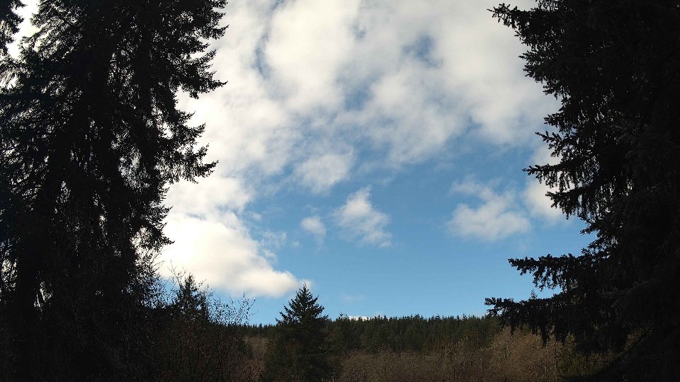
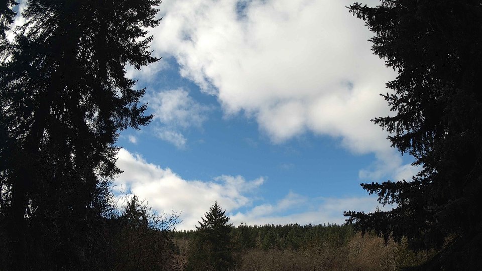
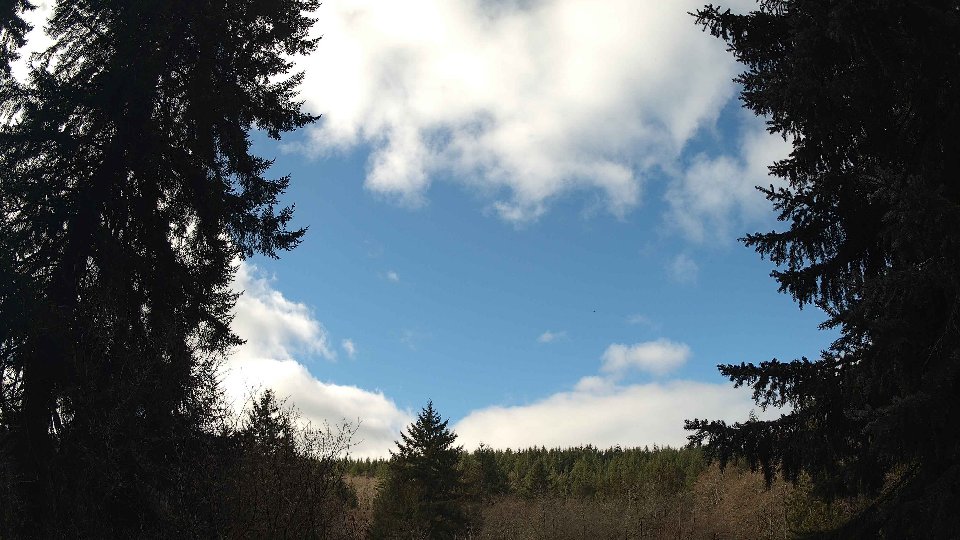
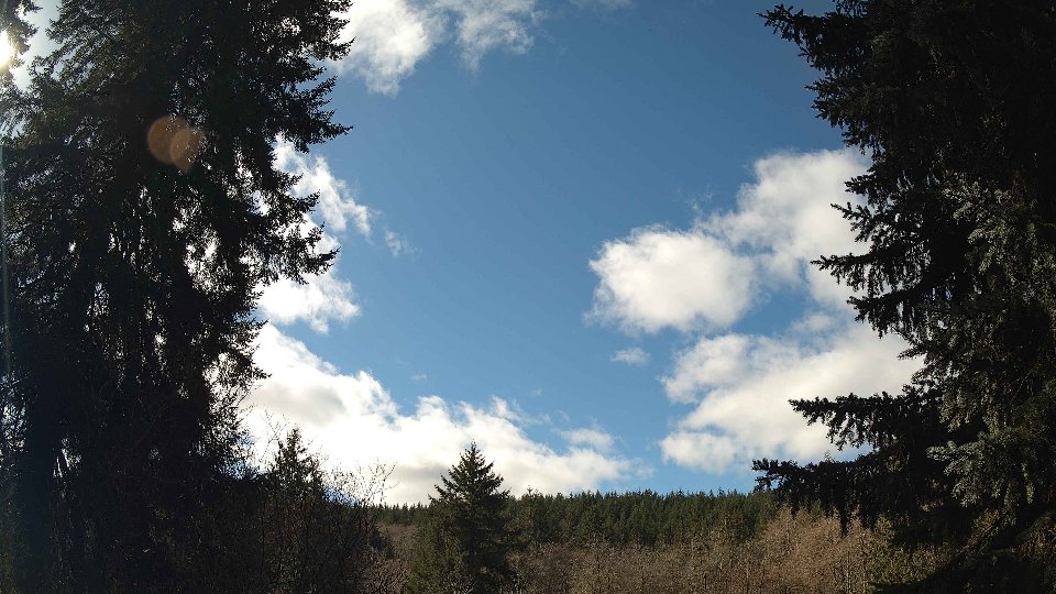
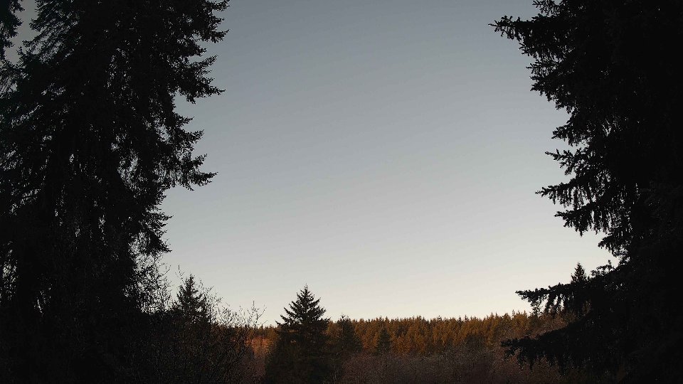
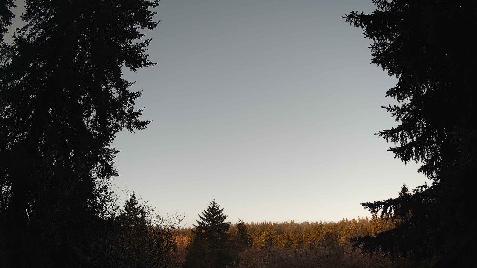
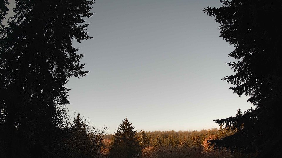
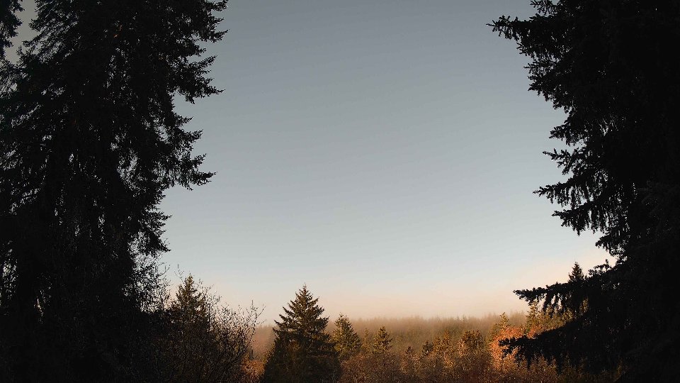
Screenshots with weather data (wind layers, clouds, precipitation)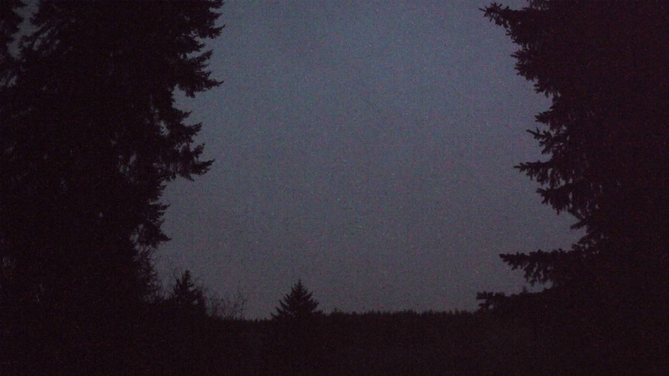


Weather Info for February 28th, 2026
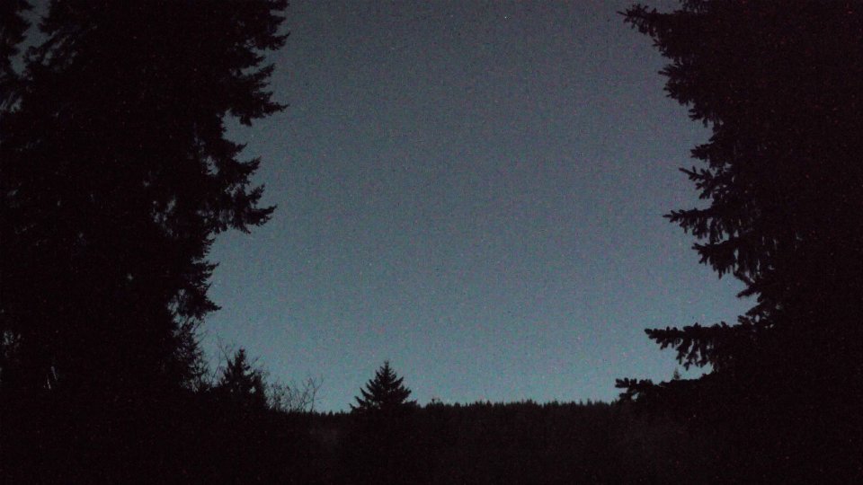
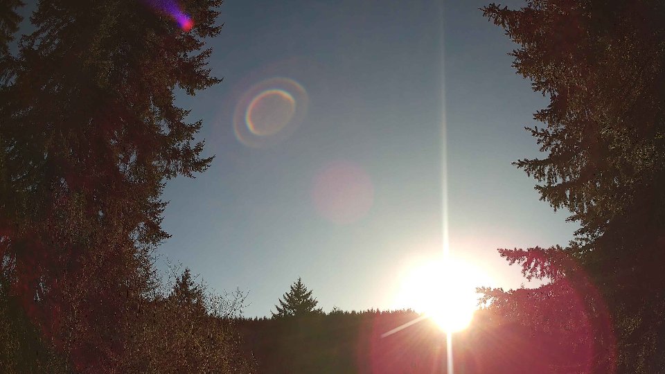
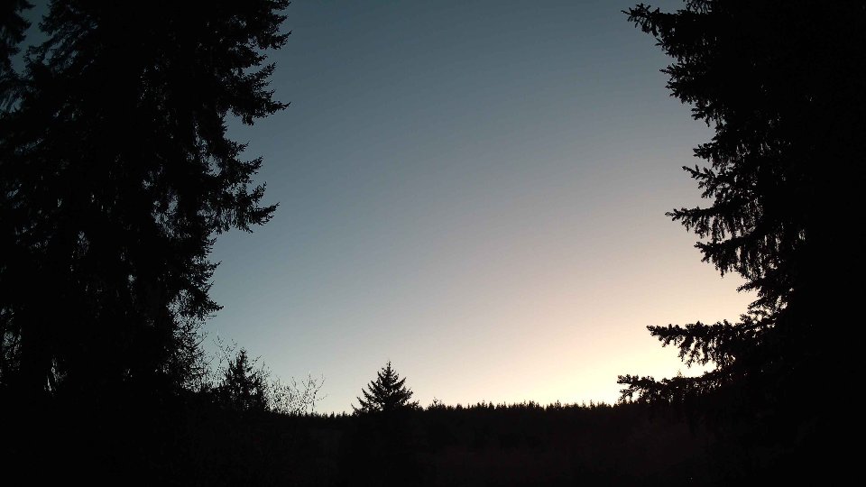
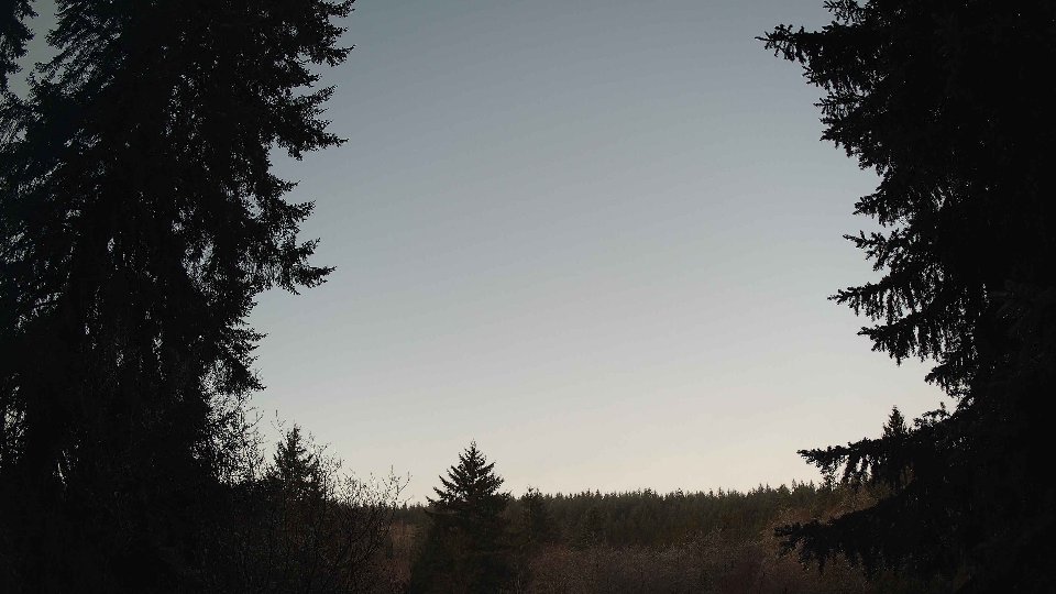
Sunset: 5:57 PM