May 17th, 2026 Timelapse
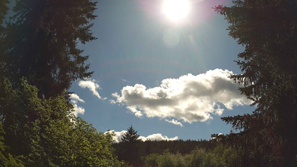
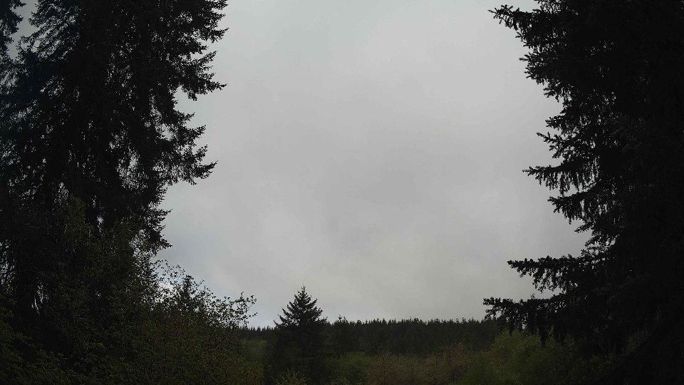
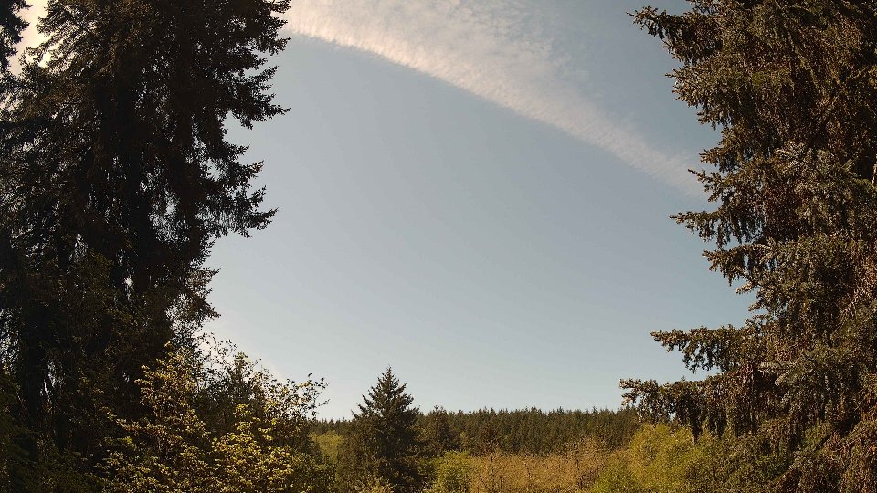
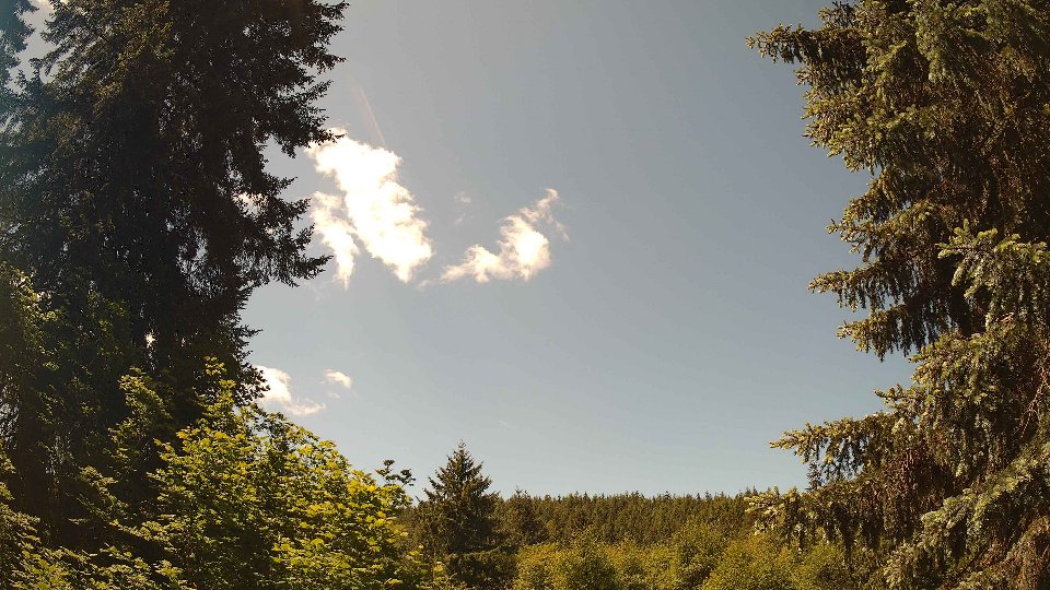
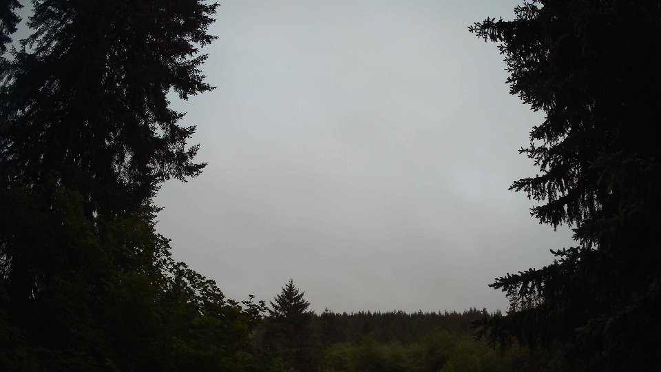
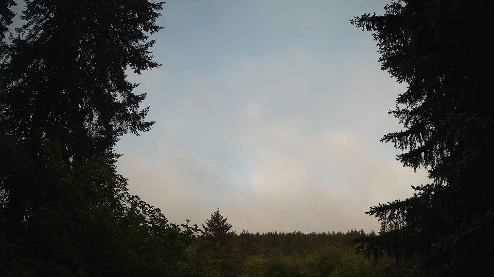
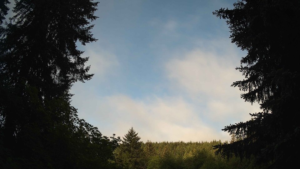
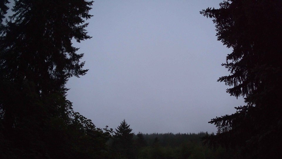
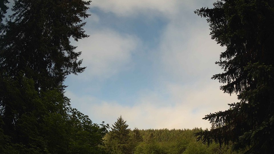
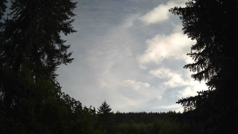
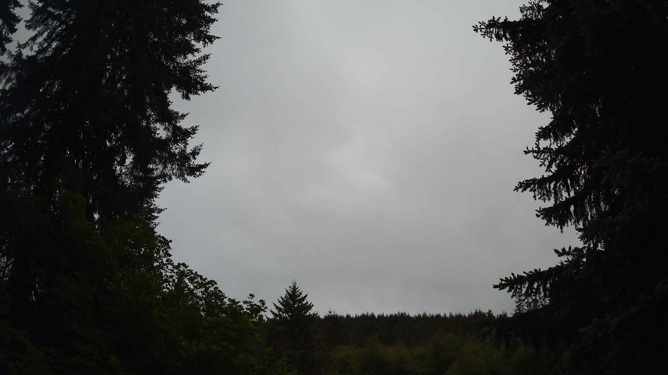
On May 17th, the day broke with a gentle start, as the surface winds averaged a calm 3.4 mph, providing a serene backdrop to the early morning sky. At 100 meters, however, the winds were notably stronger, averaging 5.4 mph, creating a subtle contrast that hinted at the layered dynamics to come. The cloud cover was relatively light at 29.3%, with low clouds dominating the view at 29.2% and only a hint of high clouds at 0.3%. With temperatures around 43.9°F, the atmosphere felt cool but comfortable. The gentle surface winds allowed for a smooth transition of the low clouds across the sky, while the stronger winds aloft began to stir them into slow movement, setting the stage for a more dynamic day ahead. There was no precipitation to speak of, but the contrasting wind layers hinted at potential turbulence that might develop later.
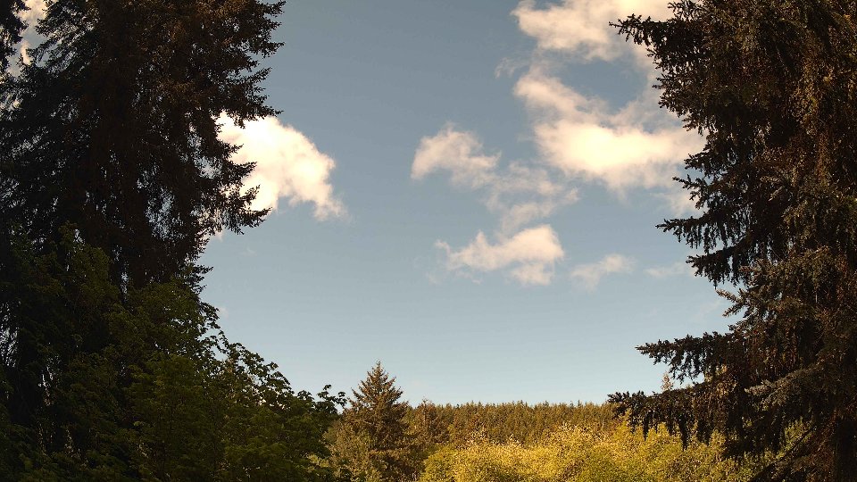
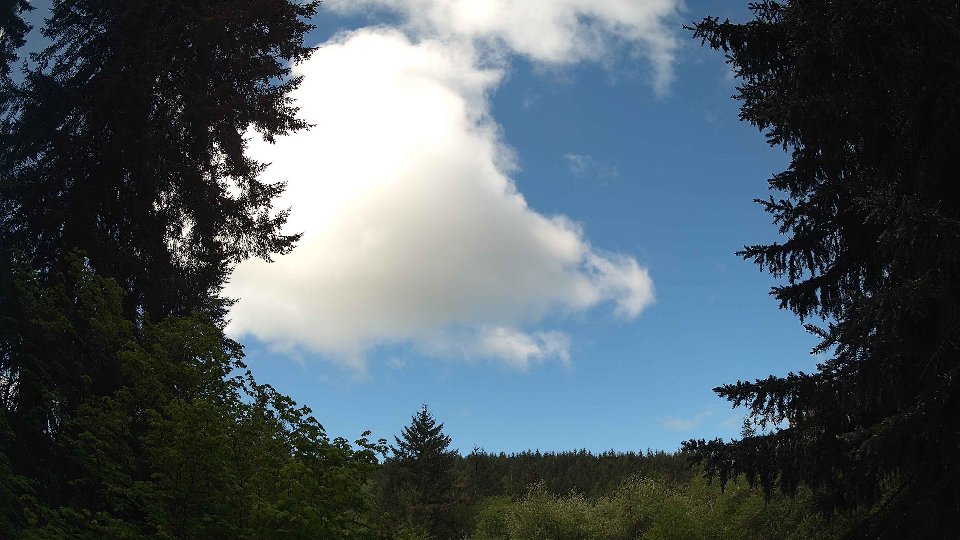
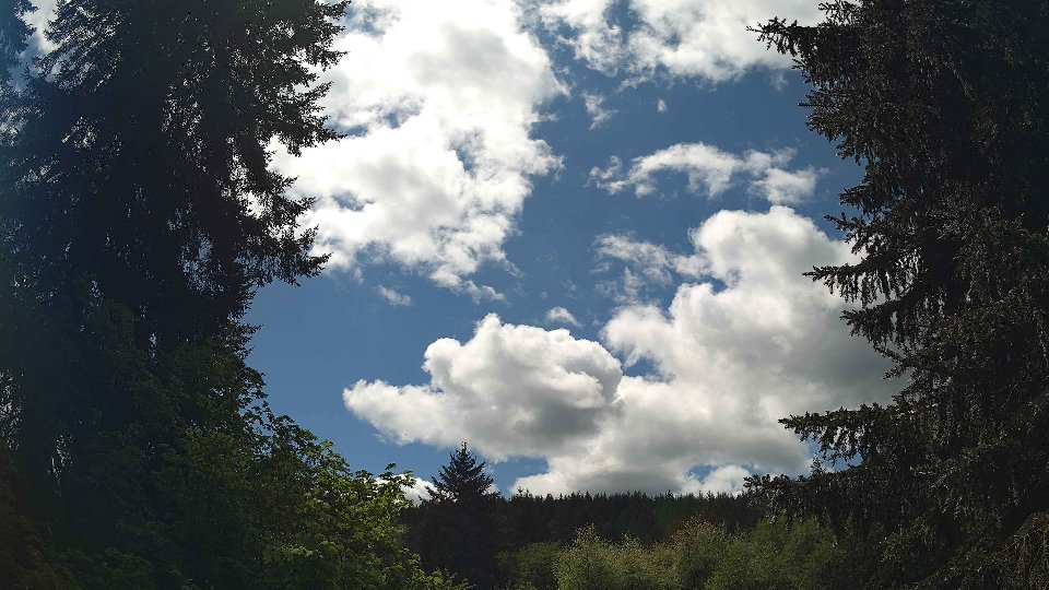
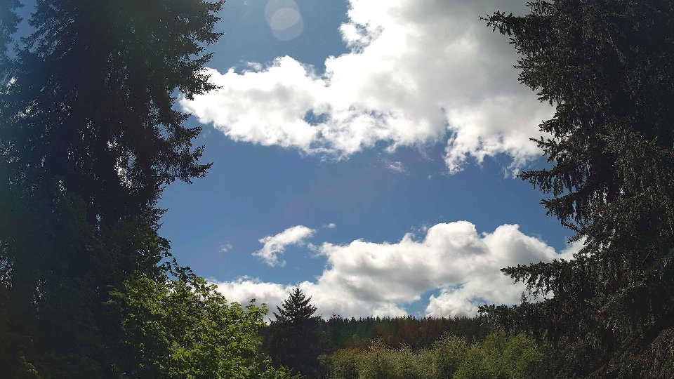
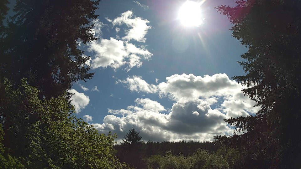
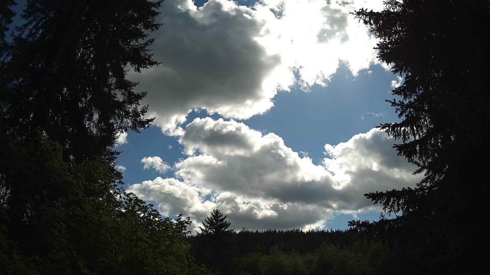
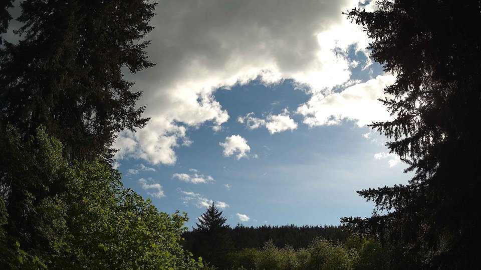
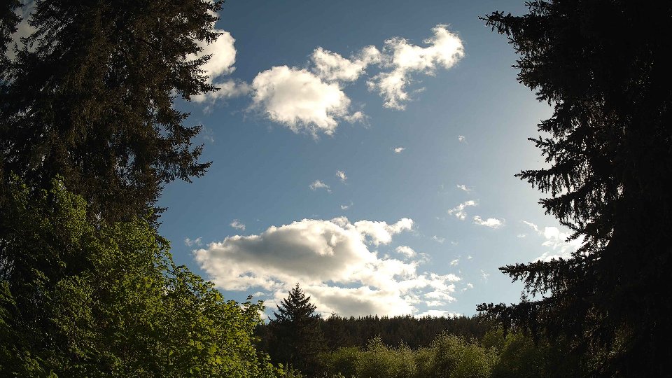
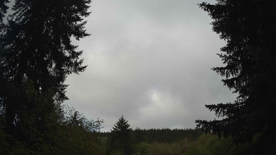
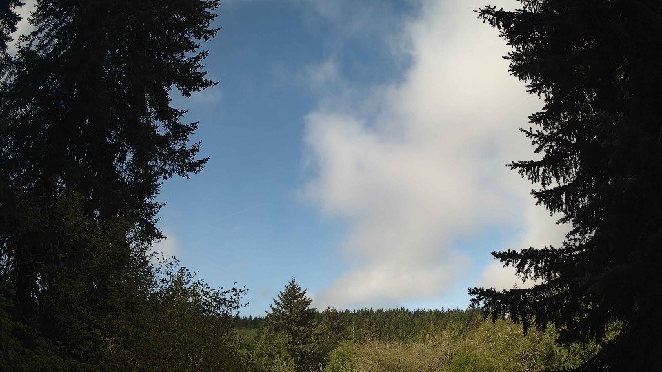
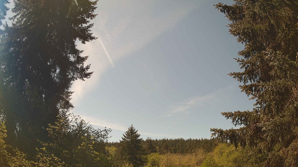
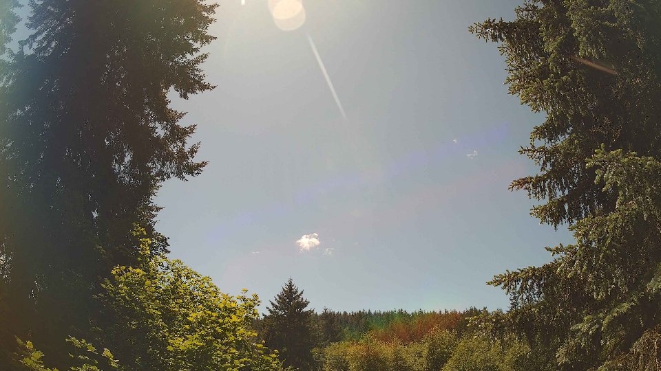
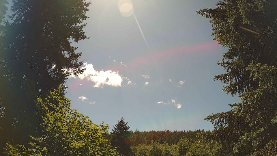
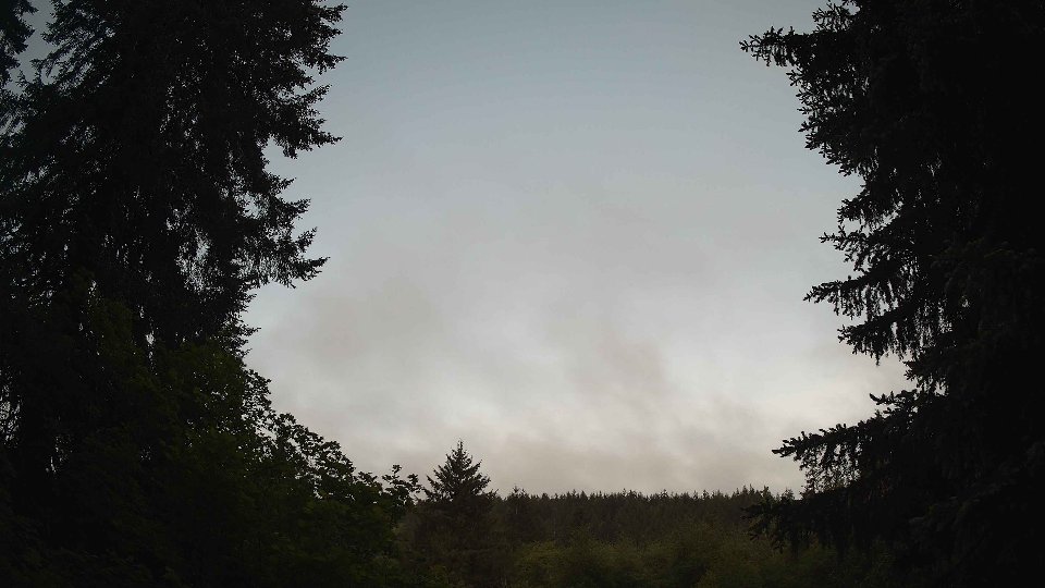
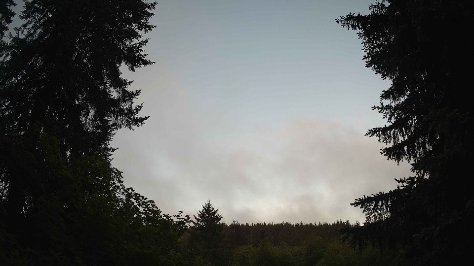
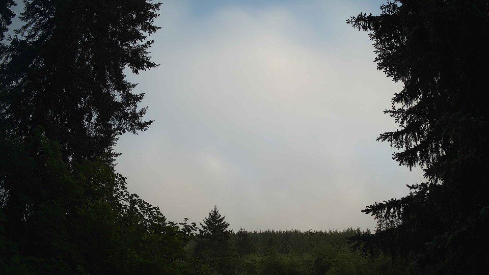
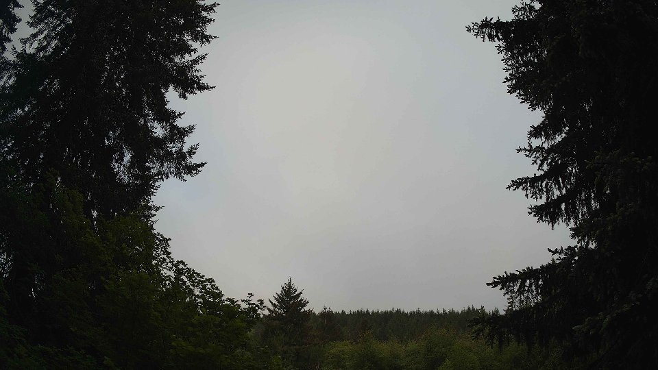
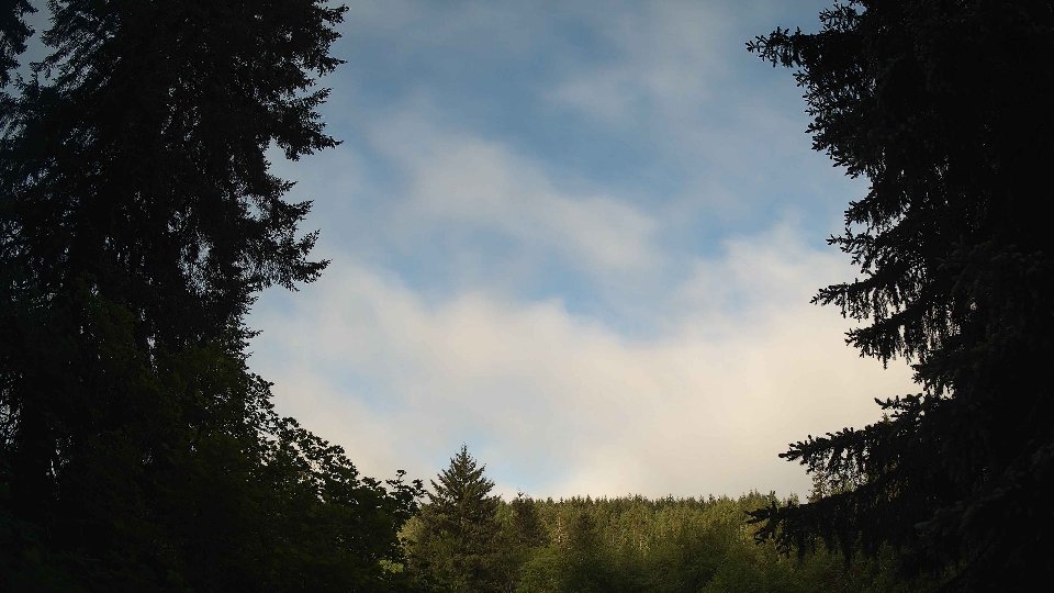
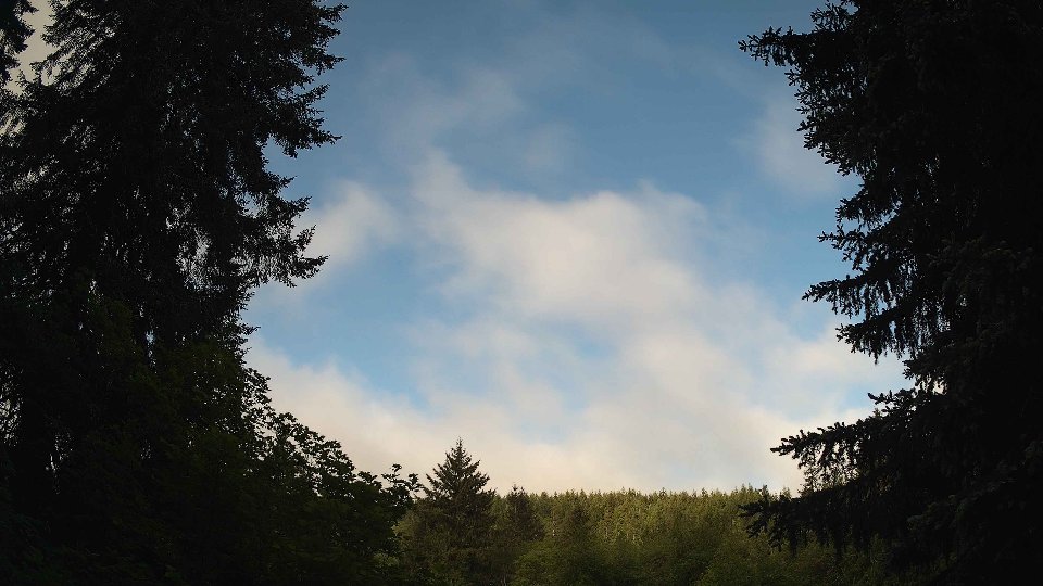
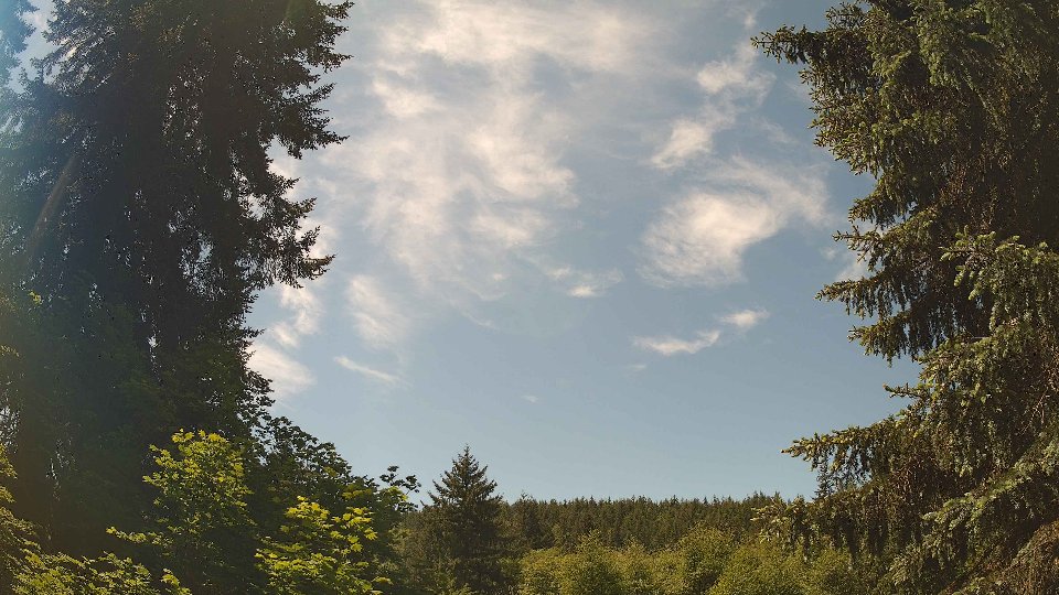
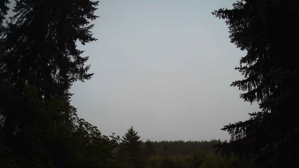
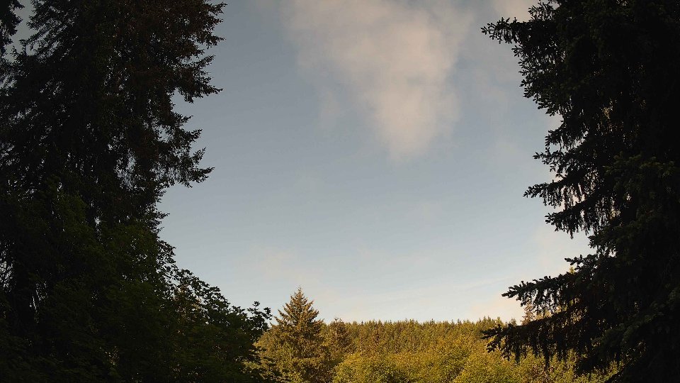
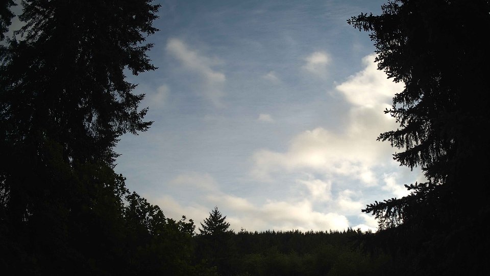
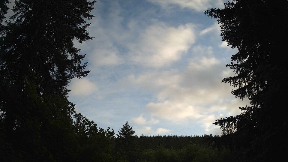
As the day progressed toward midday, conditions noticeably evolved. The surface winds increased to an average of 10.0 mph, while the winds at 100 meters picked up even more, averaging 14.2 mph. Cloud cover thickened significantly to 62.2%, with low clouds making up 60.0% of the total. This increase in cloud cover, coupled with the stronger winds, resulted in a visually engaging sky as the low clouds raced across, pulled by the more forceful winds aloft. Mid clouds made a slight appearance at 0.2%, while high clouds crept in to 5.2%, adding texture to the sky. The dynamics of the wind layers created an interesting interaction, with shear effects causing some turbulence as the conflicting directions of surface and upper-level winds resulted in a swirling effect among the clouds. This mid-level cloud movement, in particular, showcased a rapid parade of shifting shapes and forms, illustrating the impact of the varying wind patterns.
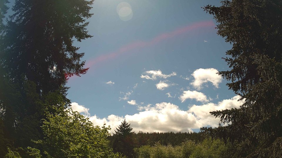
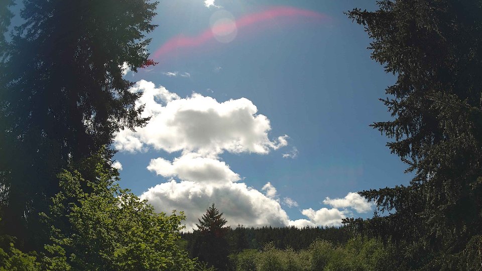
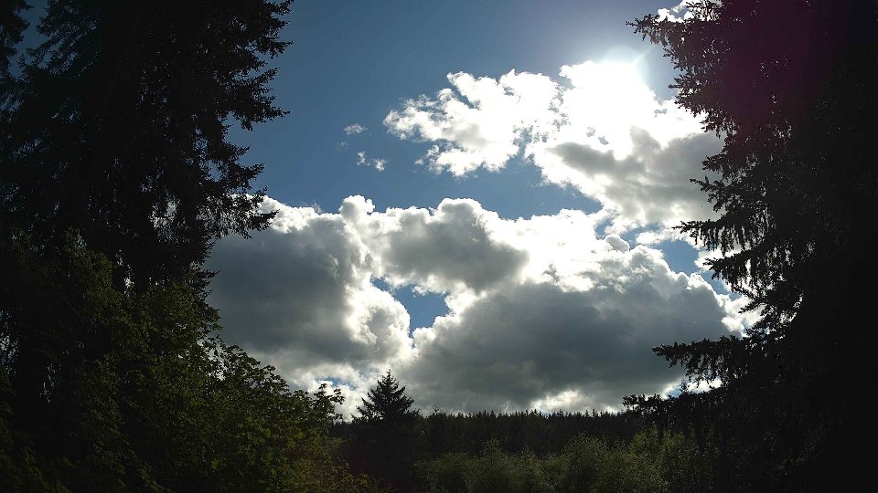
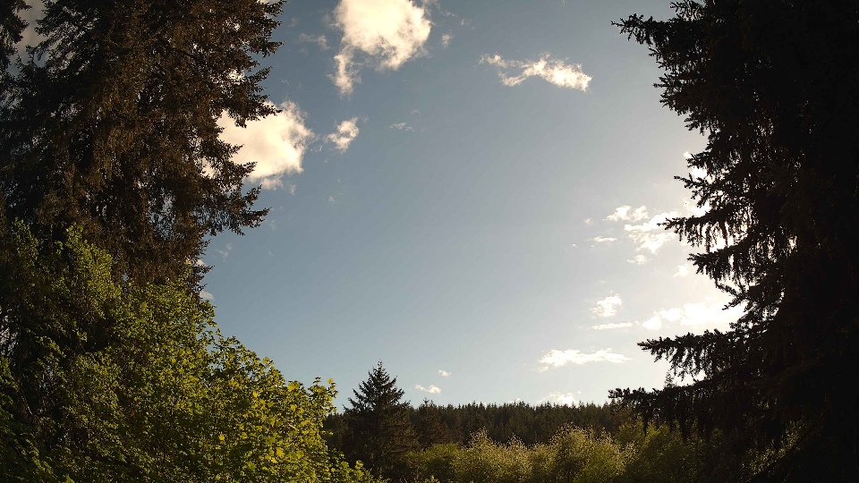
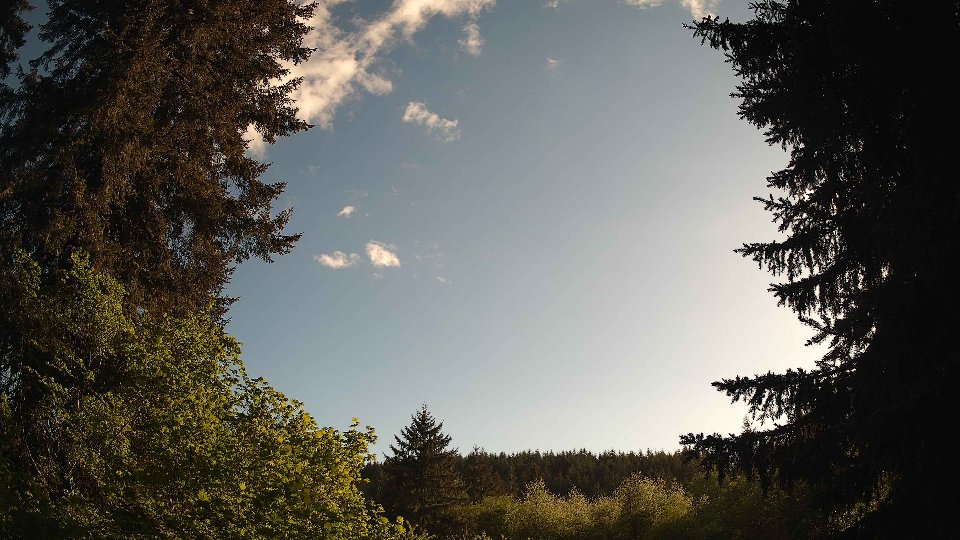
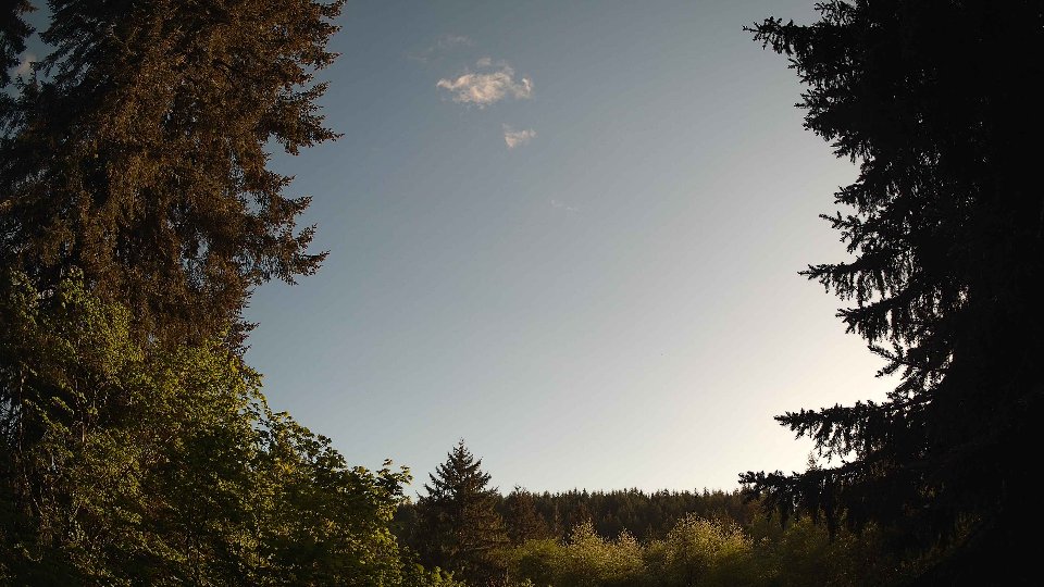
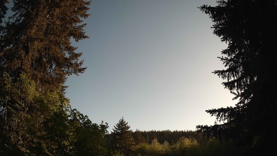
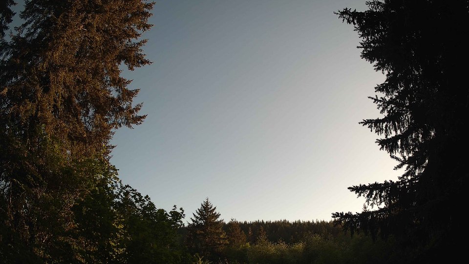
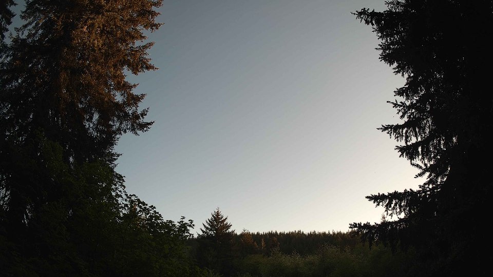
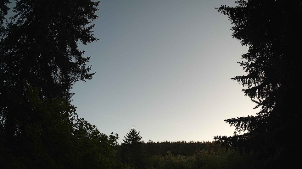
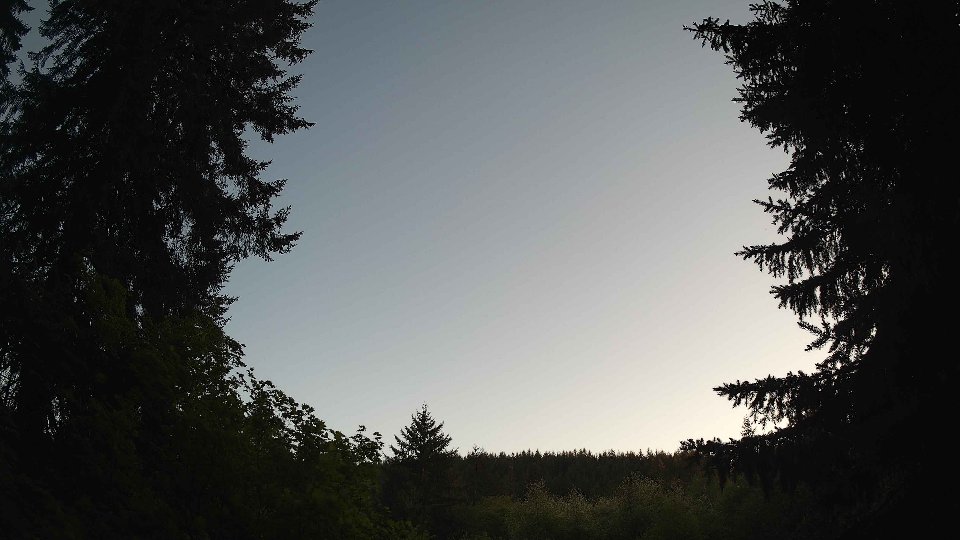
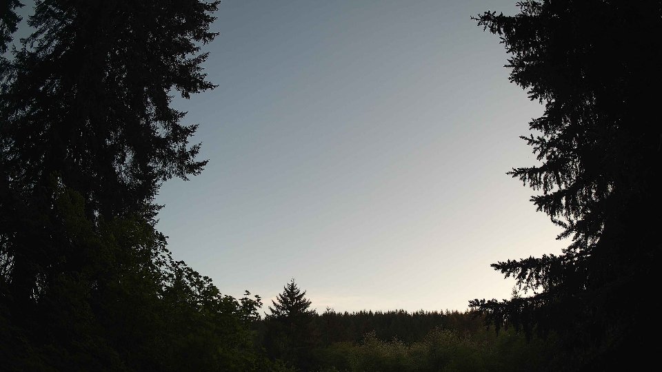
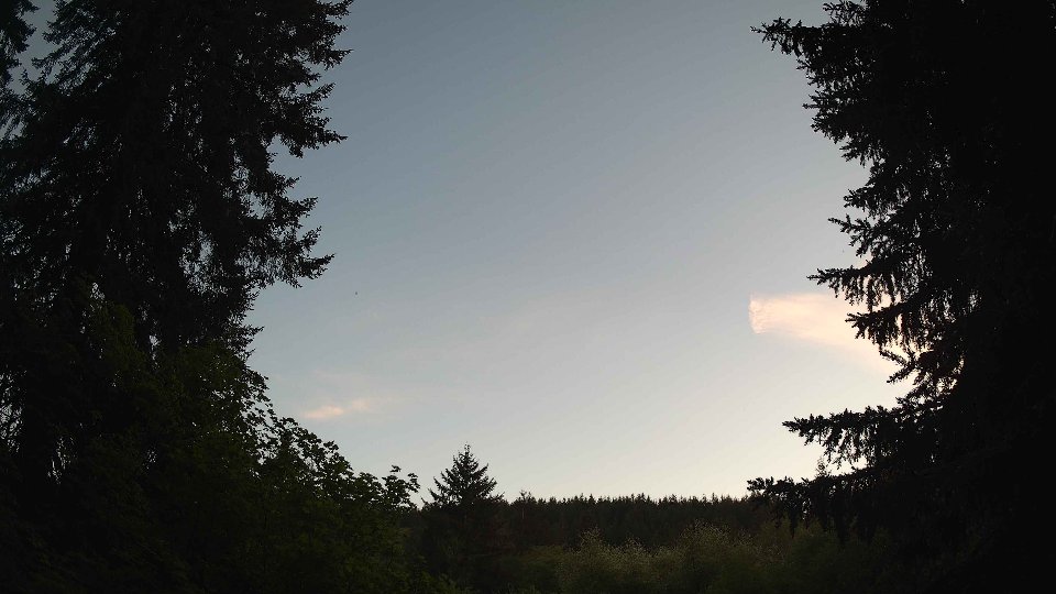
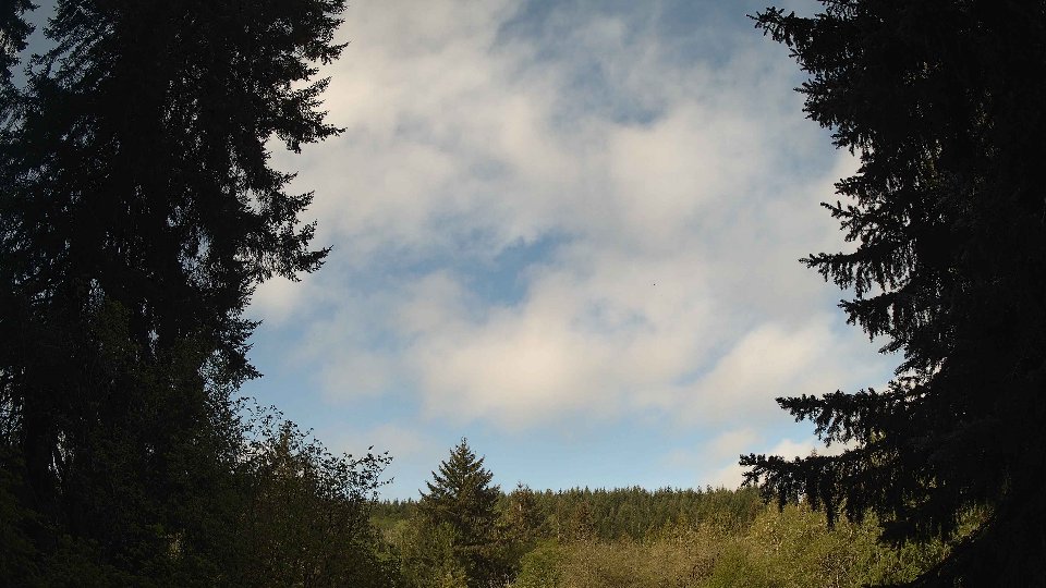
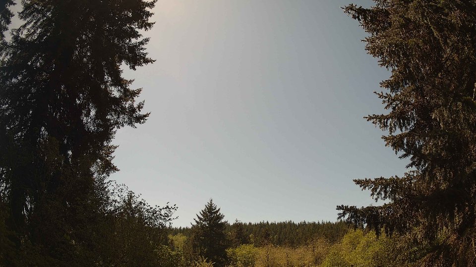
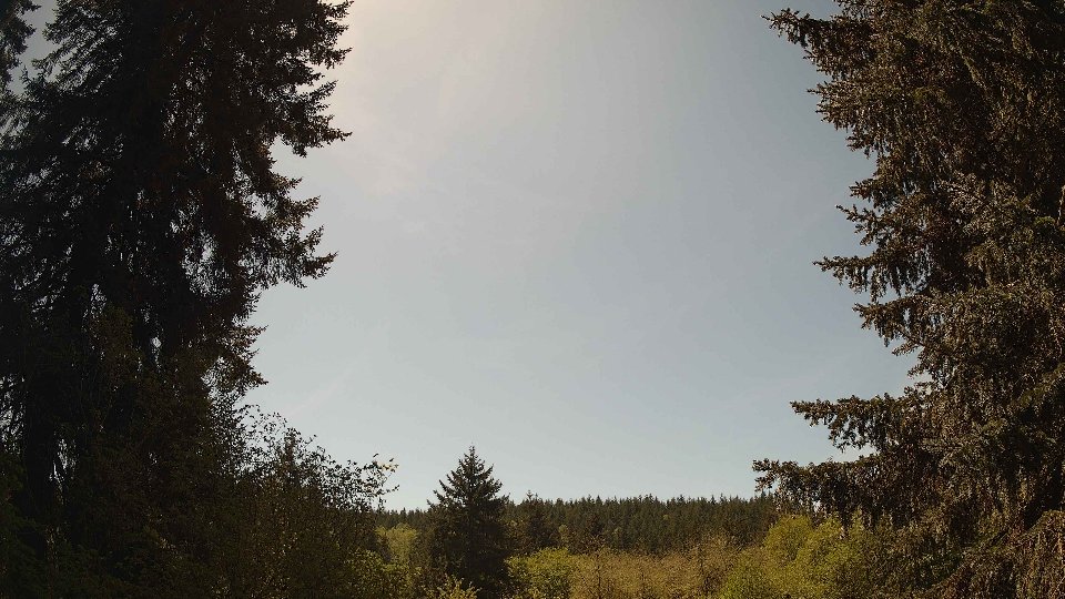
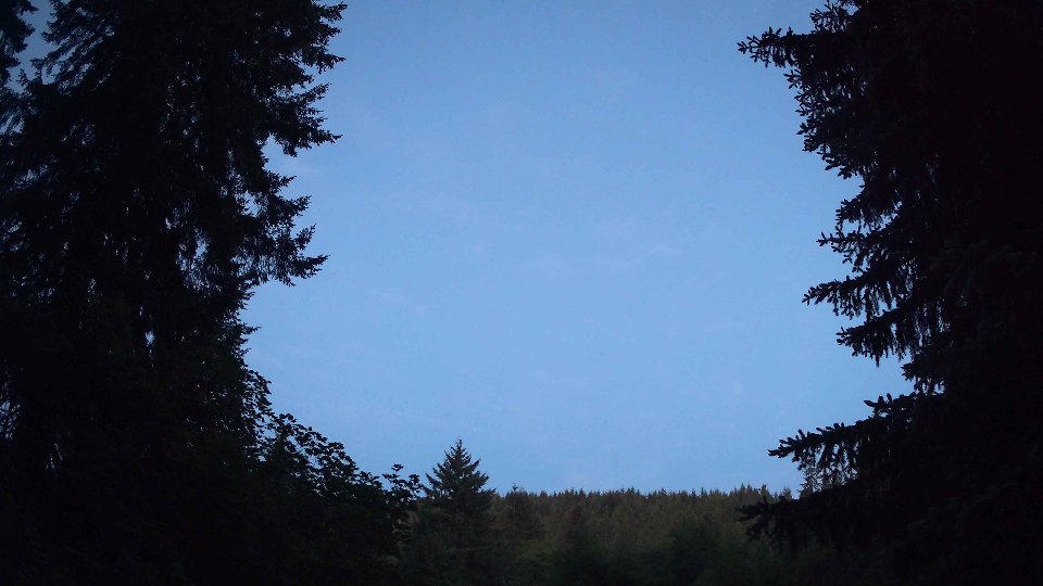
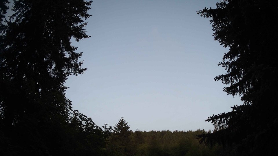
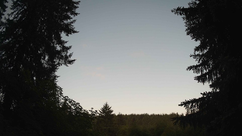
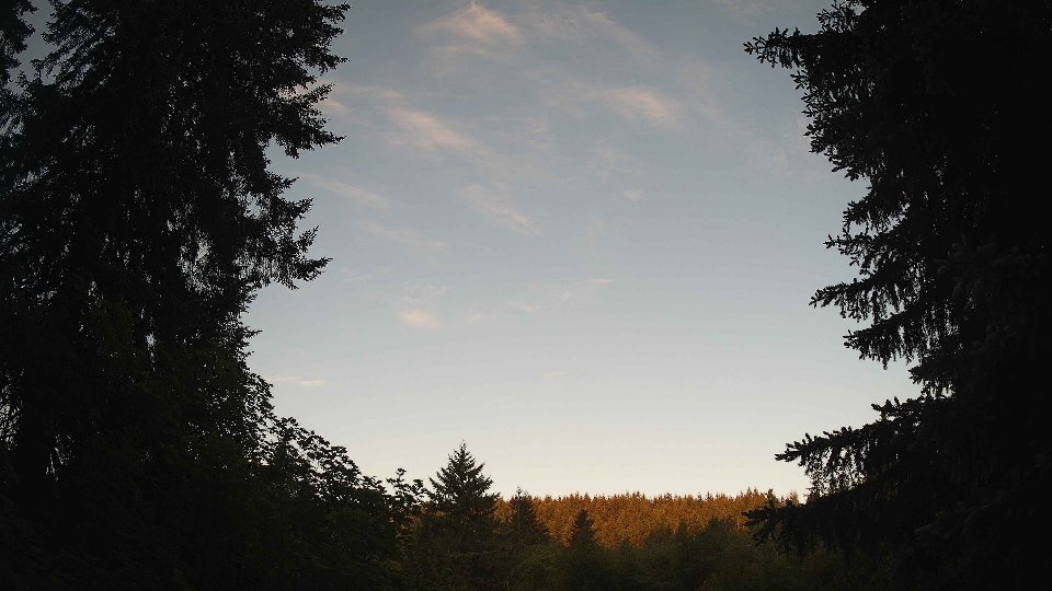
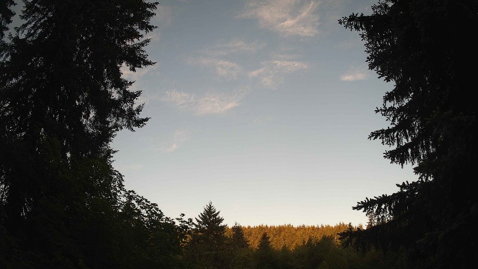
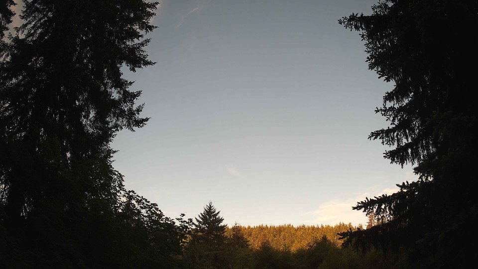
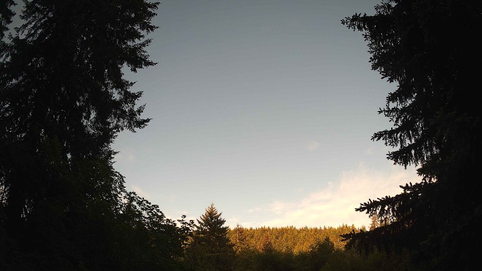
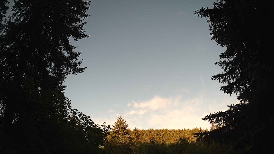
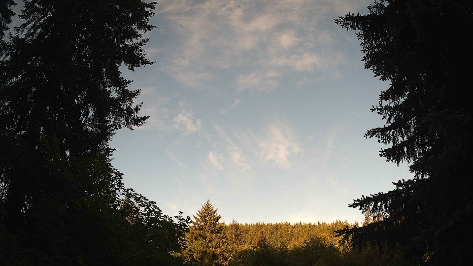
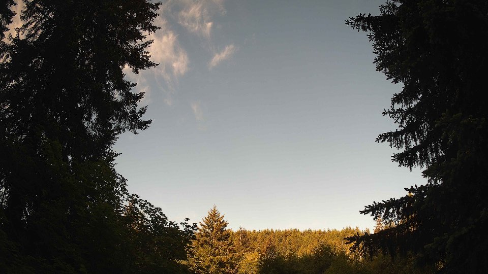
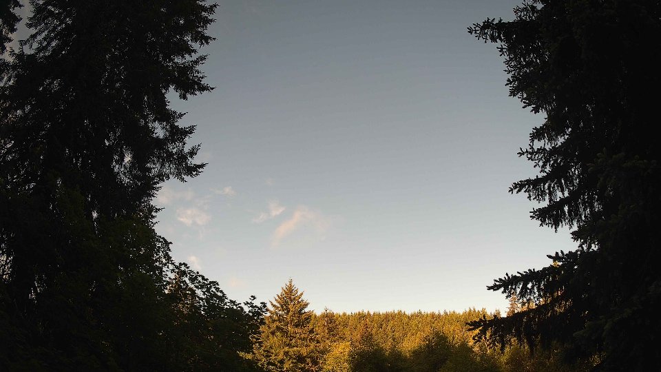
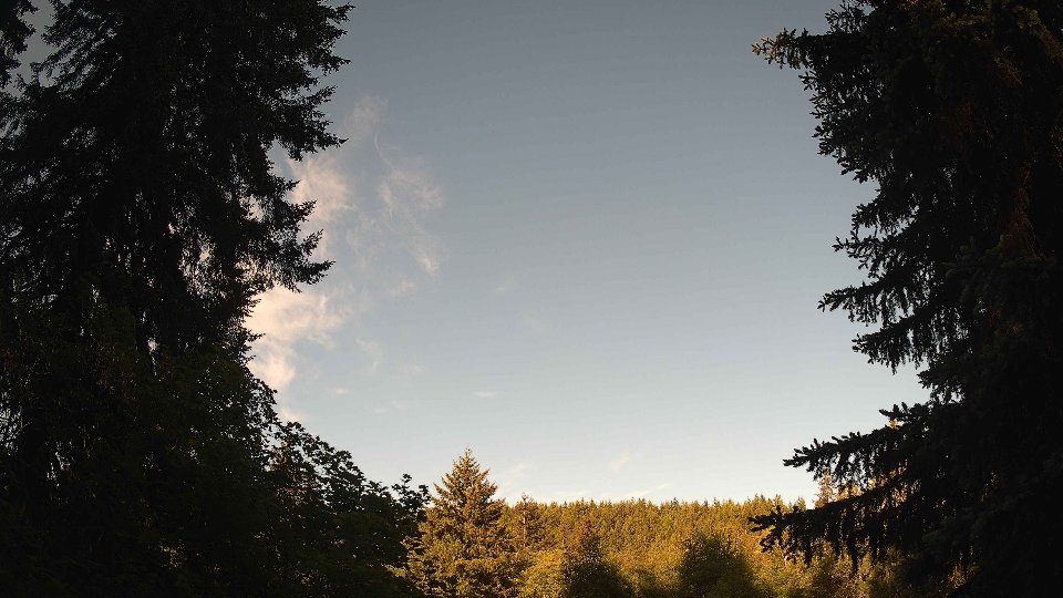
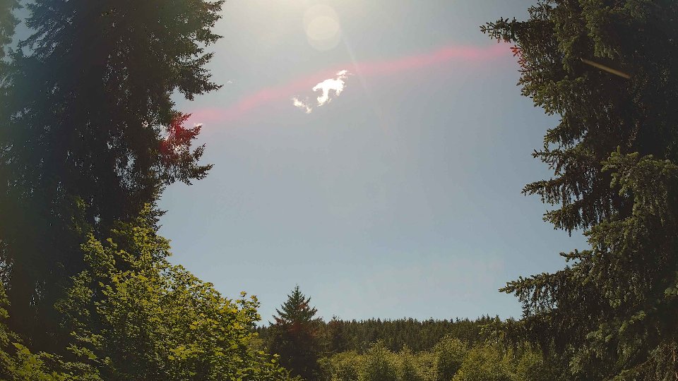
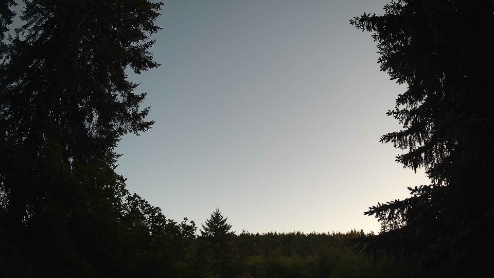
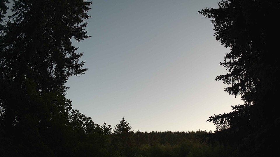
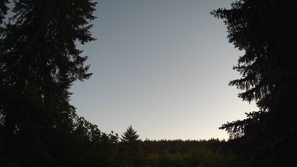
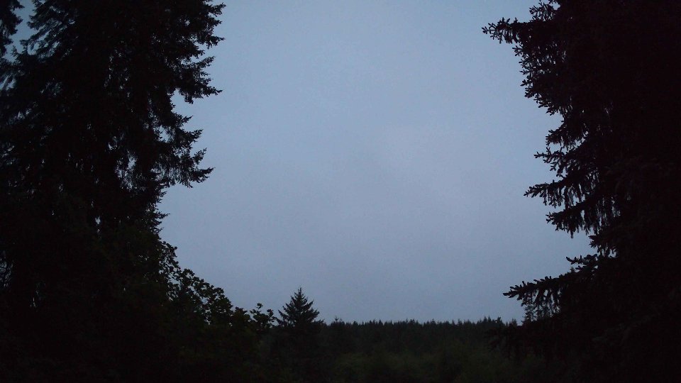
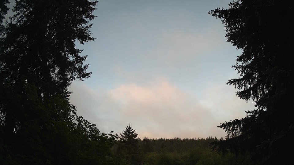
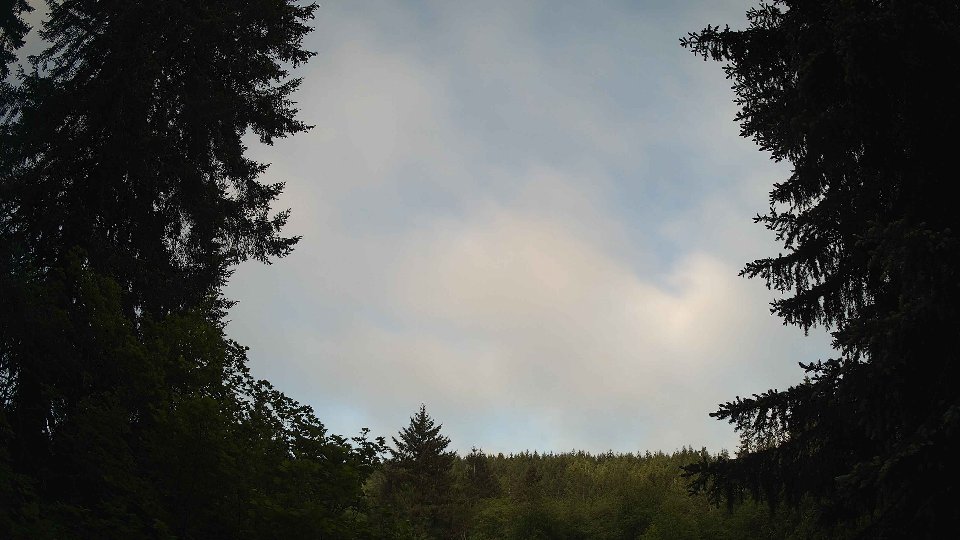
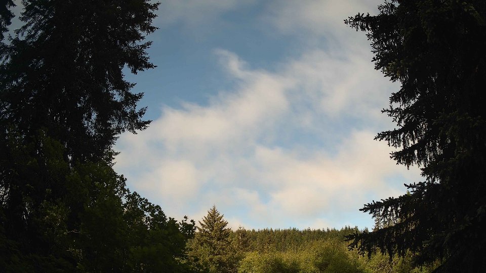
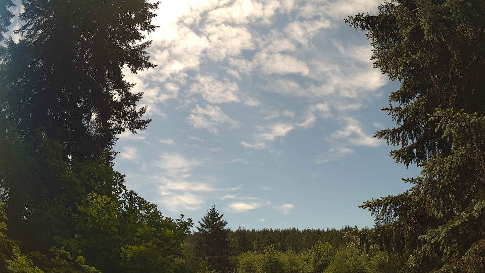
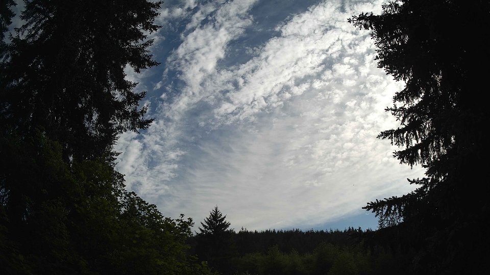
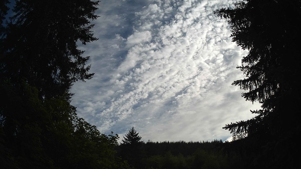
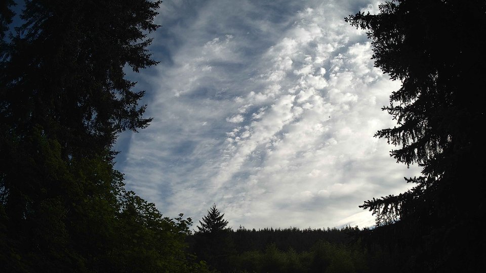
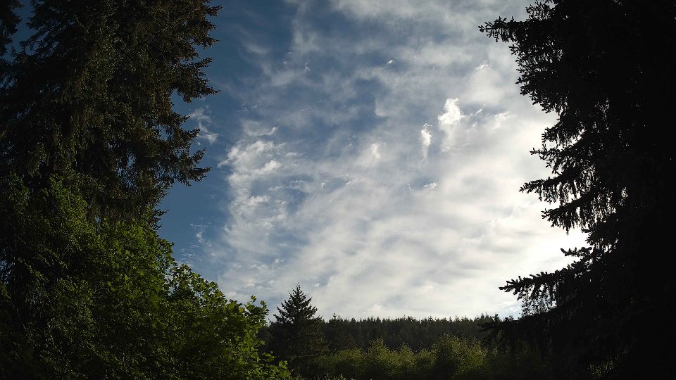
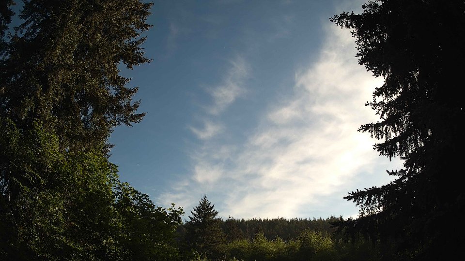
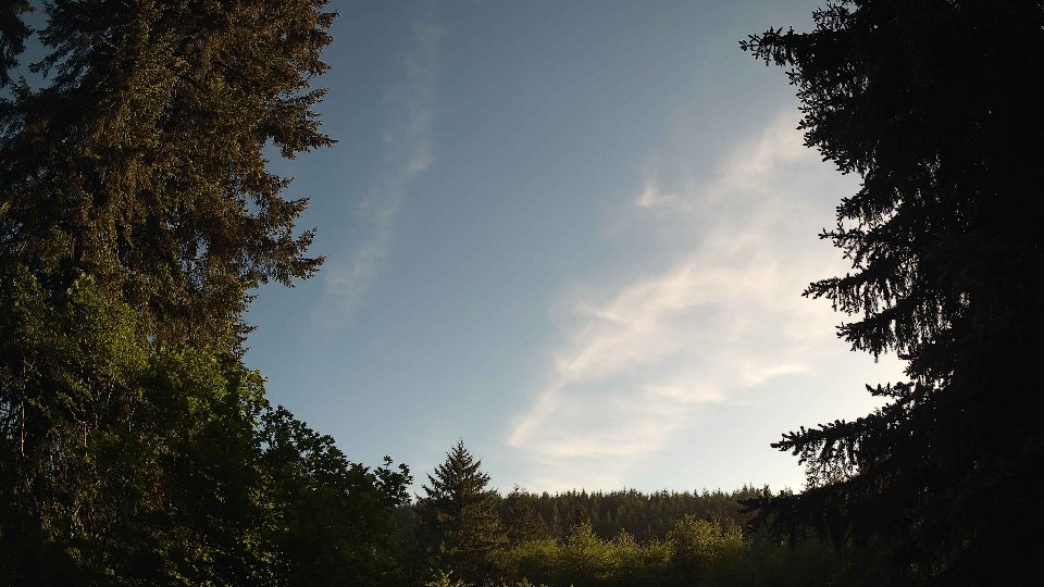
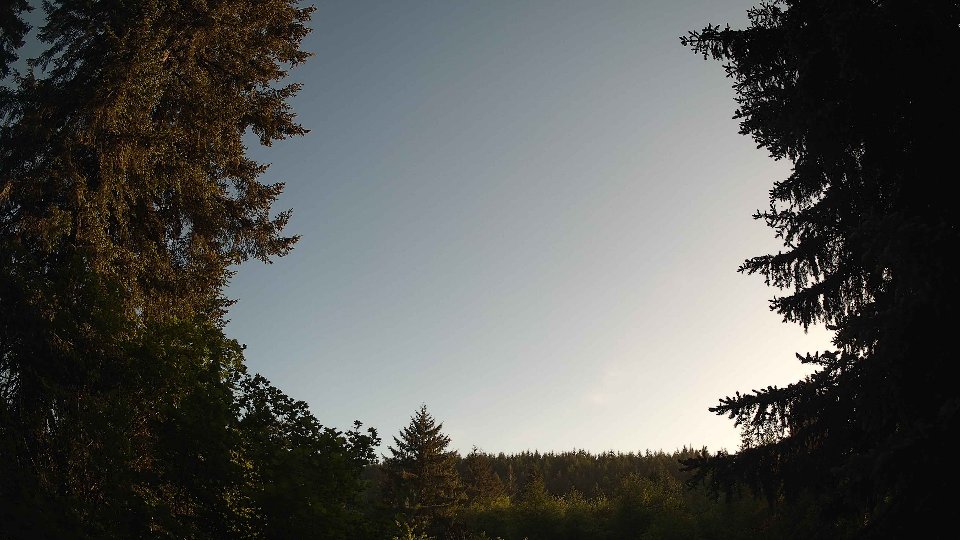
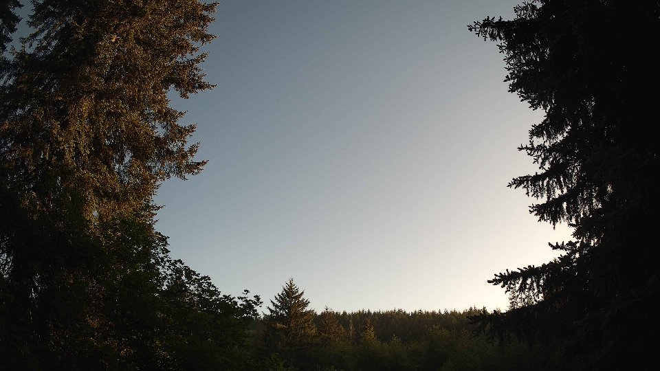
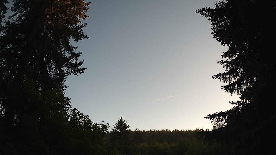
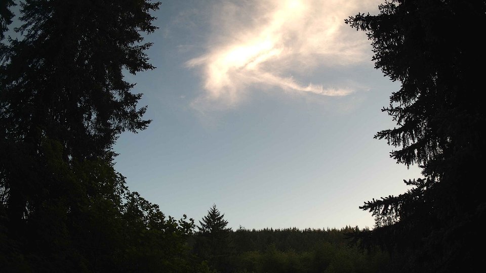
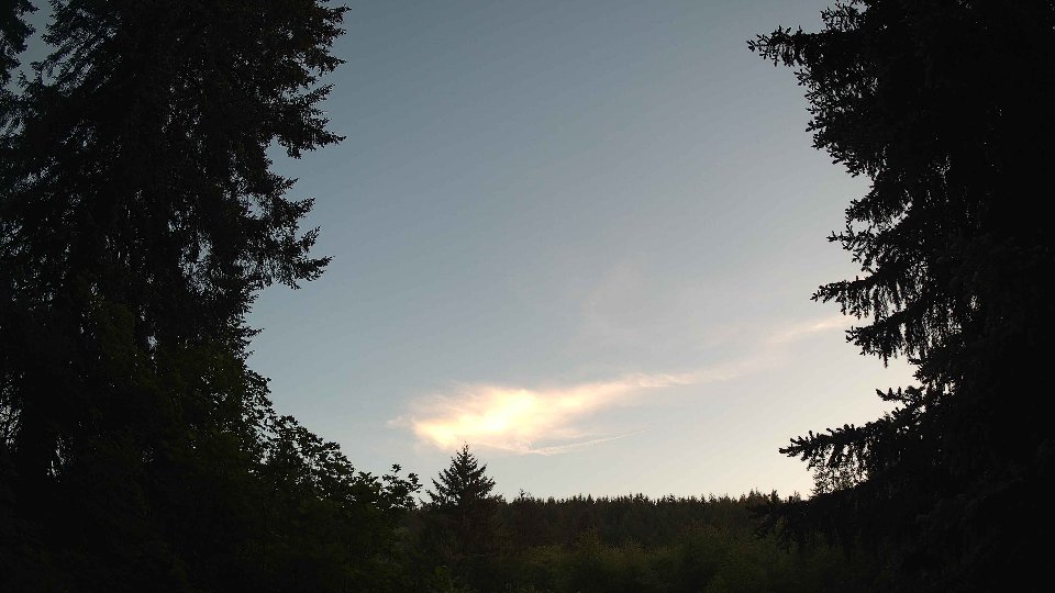
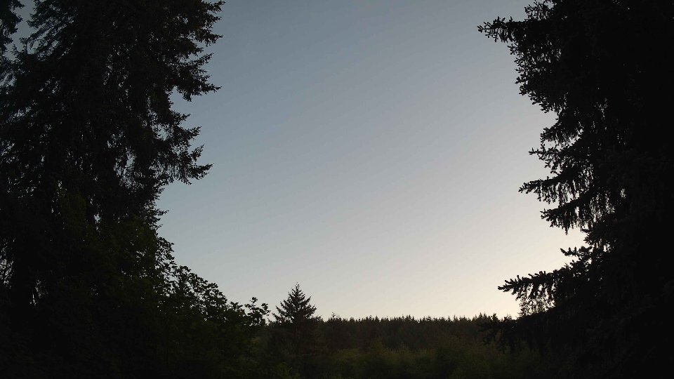
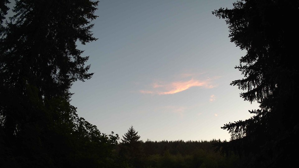
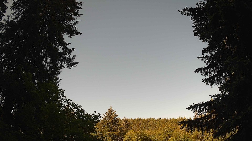
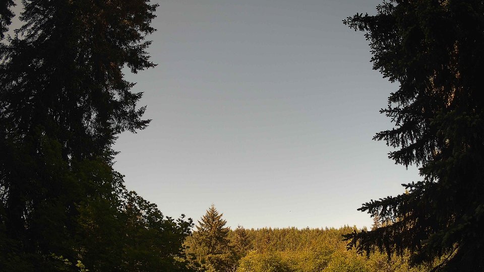
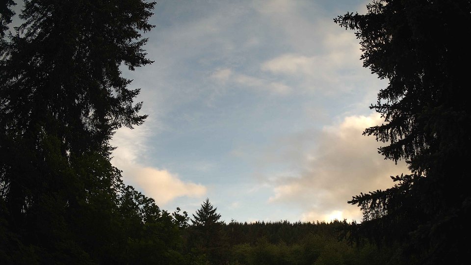
As evening approached, the weather took on a distinct character, showcasing a mixture of the day’s earlier dynamics. The surface winds averaged 9.1 mph, while winds at 100 meters tapered slightly to 13.9 mph, maintaining a steady flow. The cloud cover decreased to 42.0%, with low clouds dropping to 24.5%, while mid clouds increased to 24.8% and high clouds to 8.8%. This layering contributed to a more textured sky, as the interplay of lower and mid-level clouds brought depth to the view. The winds remained relatively stable, but the earlier turbulence had settled, allowing for a more graceful movement of the clouds as the evening light began to fade. In these final hours, the interaction of the wind layers created a calming effect, showcasing a beautiful transition from the day's brisk activity to a serene end, all while maintaining a backdrop of interesting cloud formations.
May 17th, 2026 Timeline
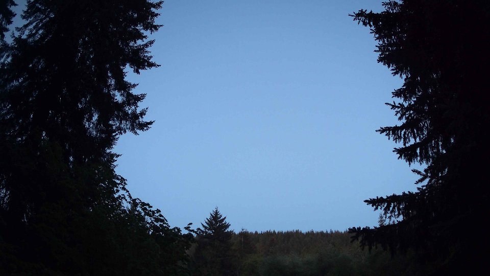
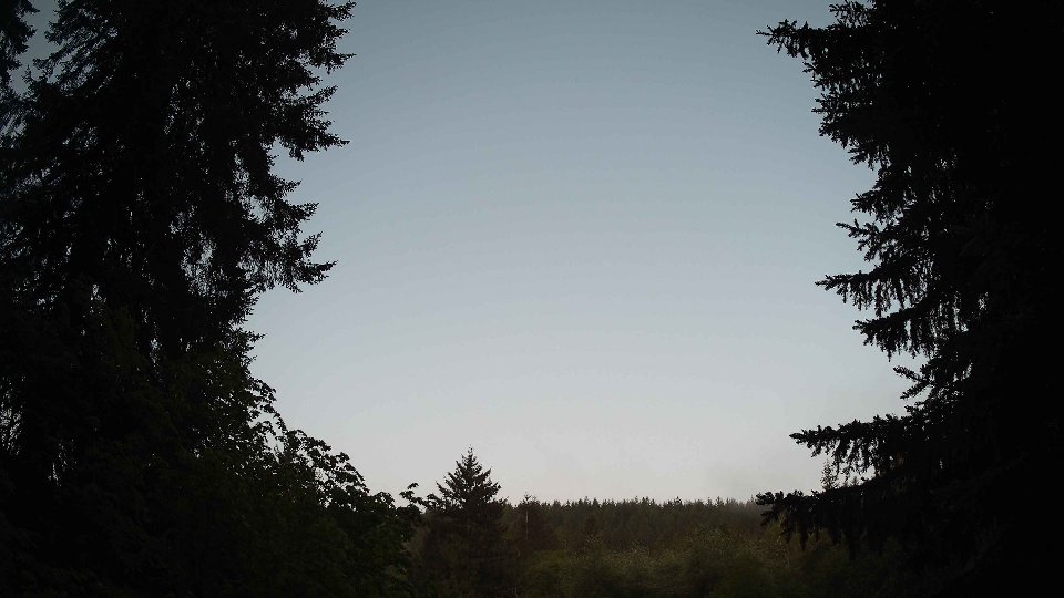
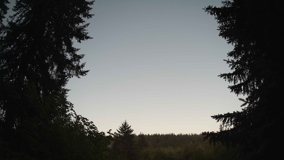
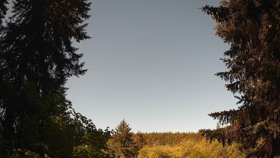
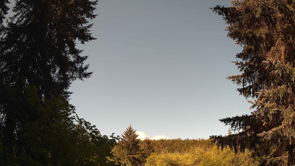
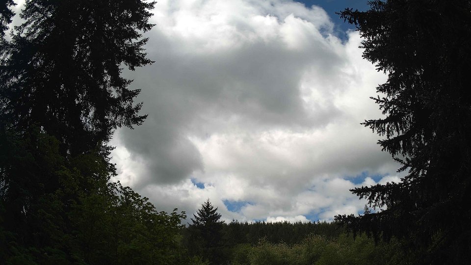
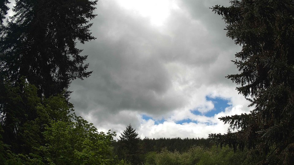
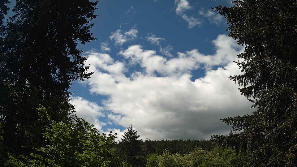
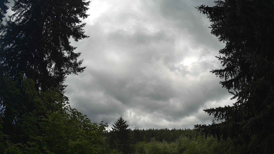
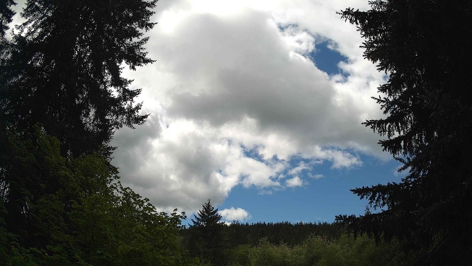
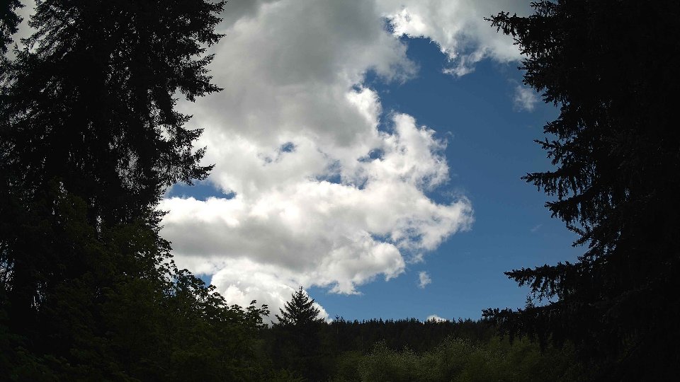
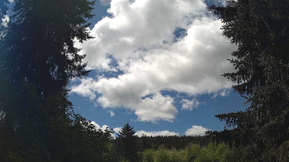
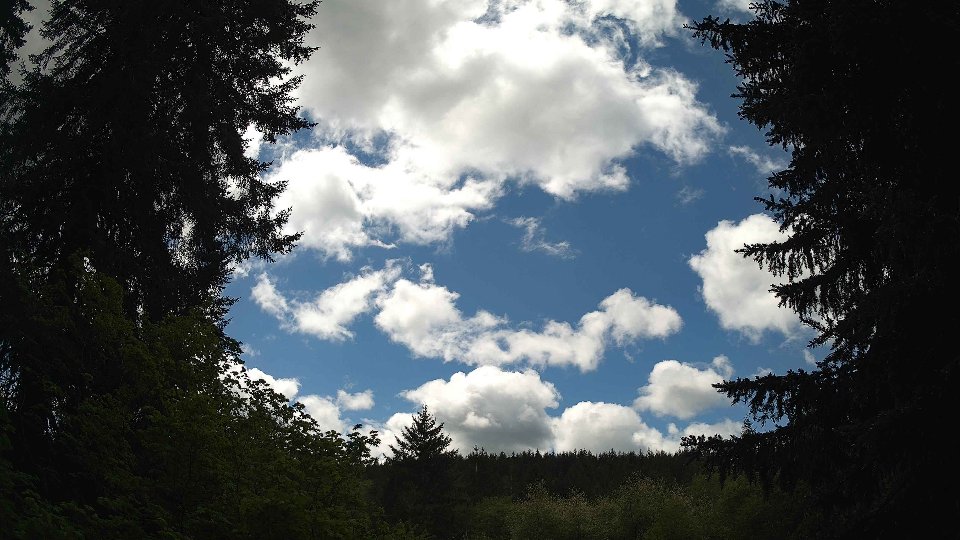
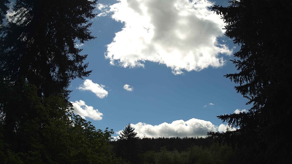
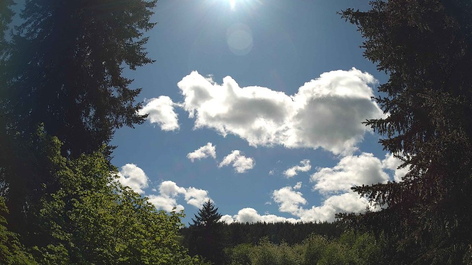
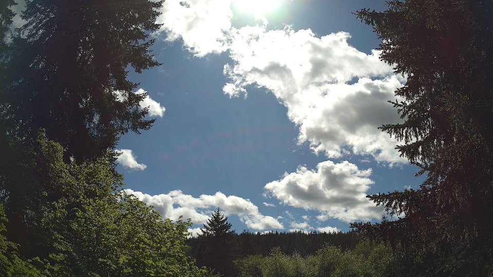
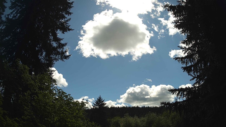
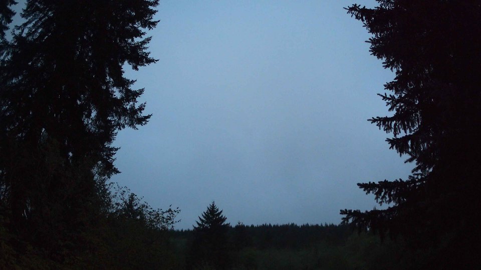
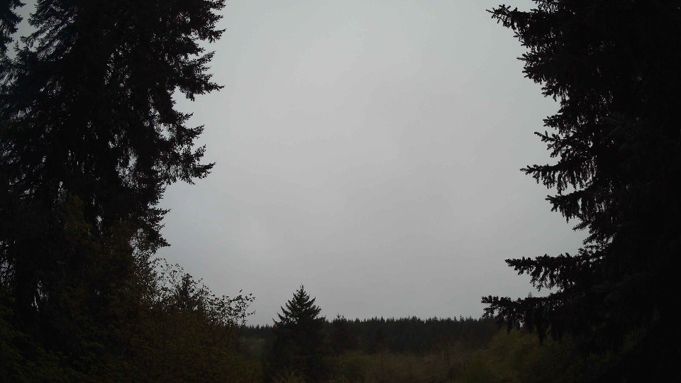
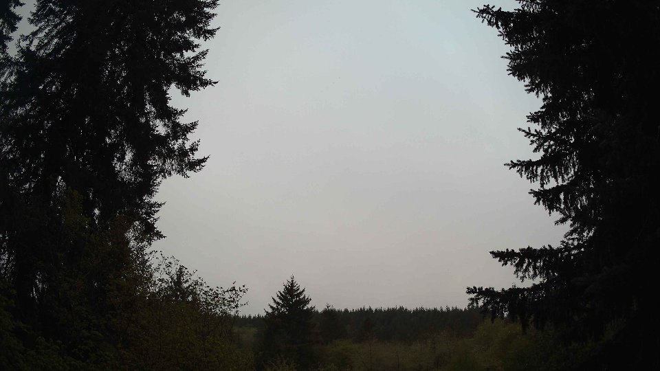
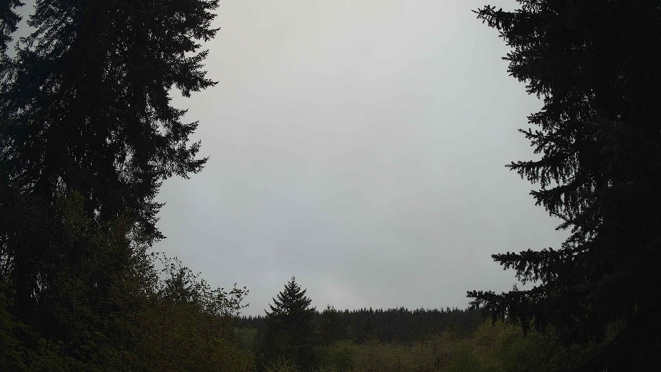
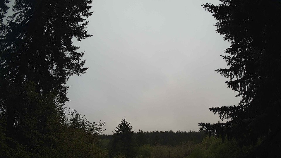
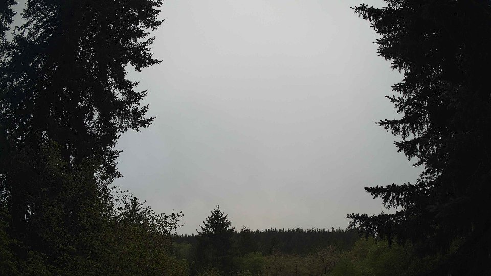
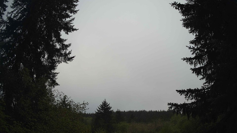
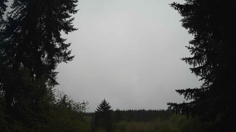
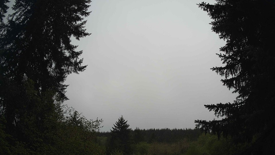
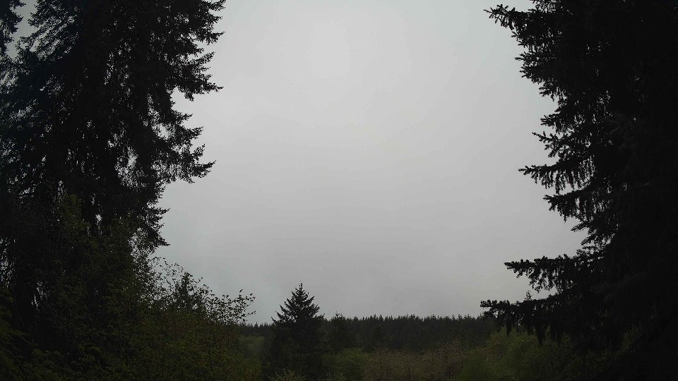
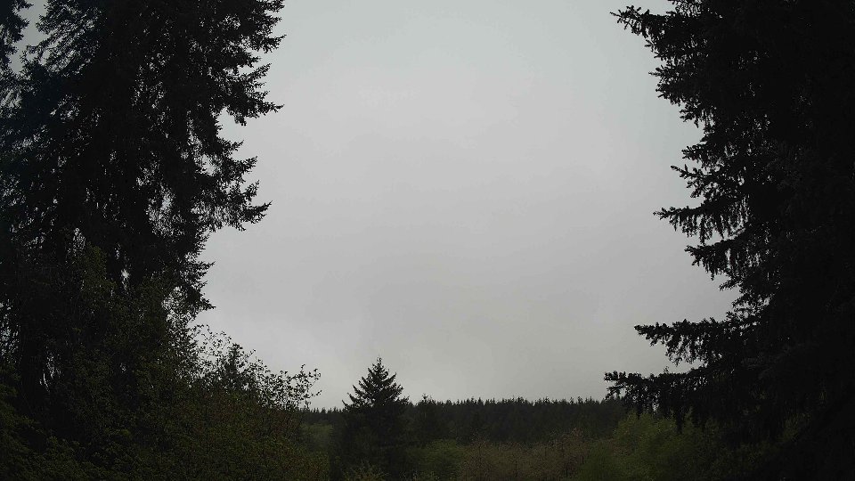
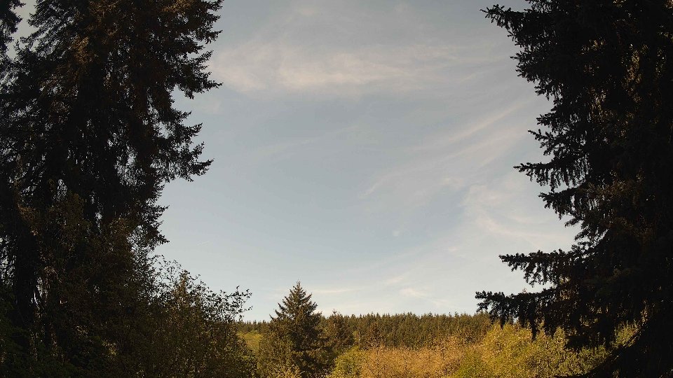
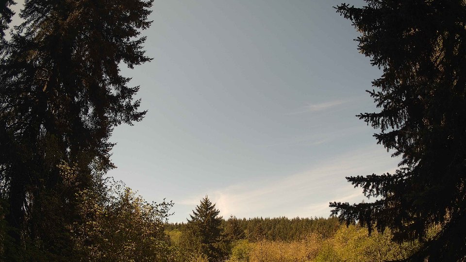
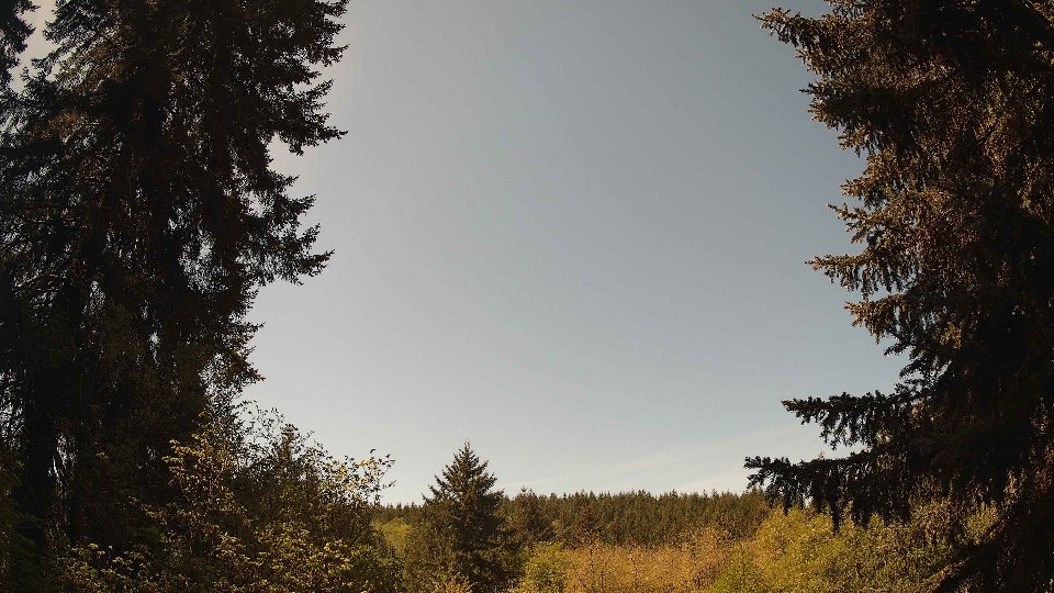
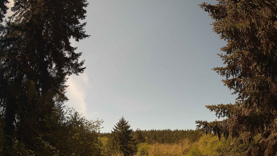
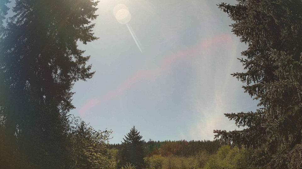
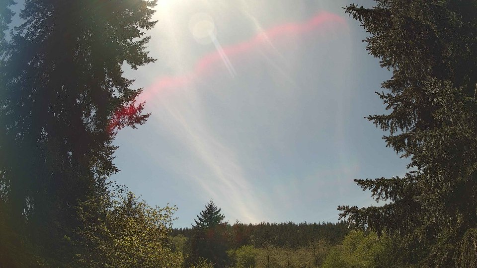
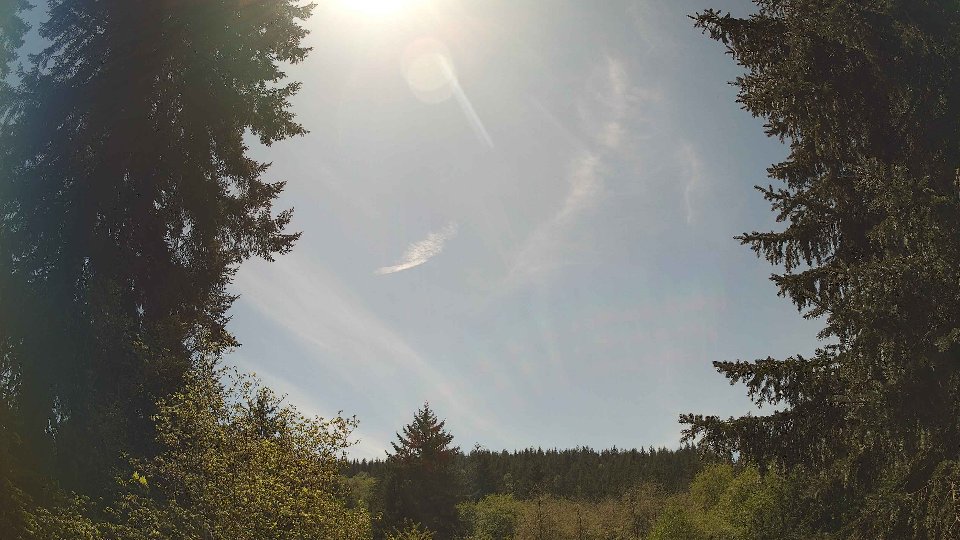
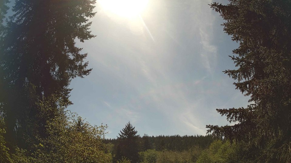
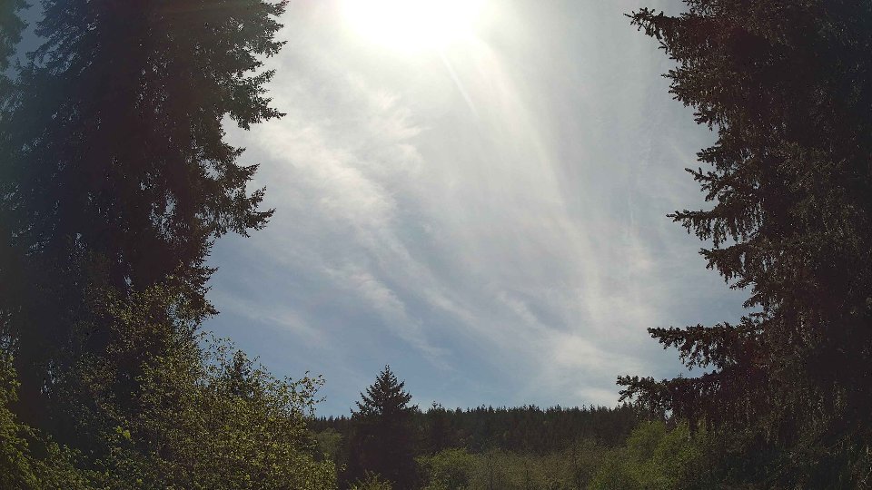
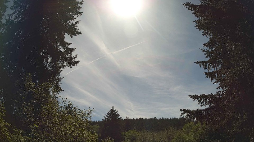
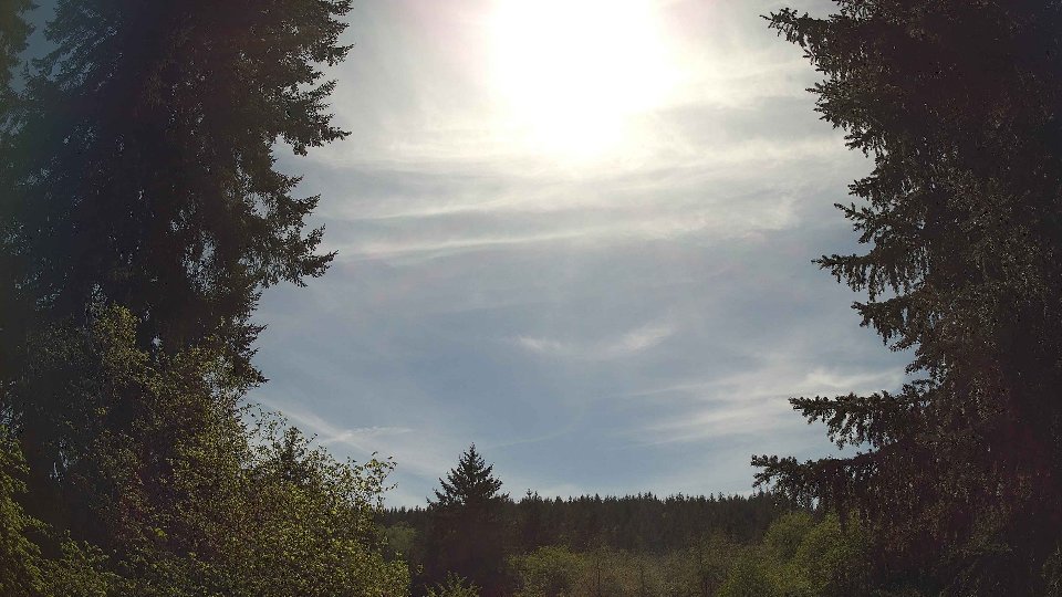
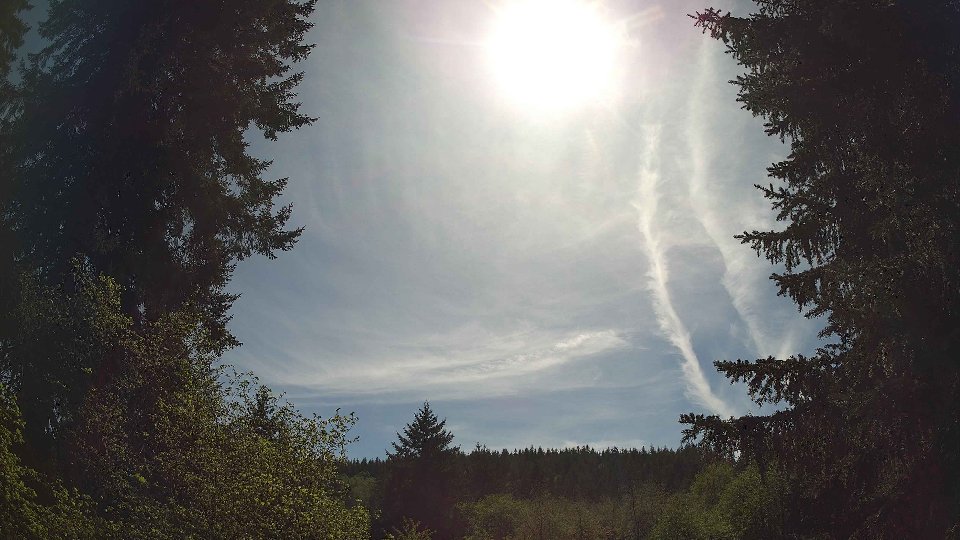
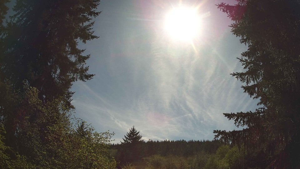
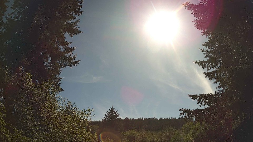
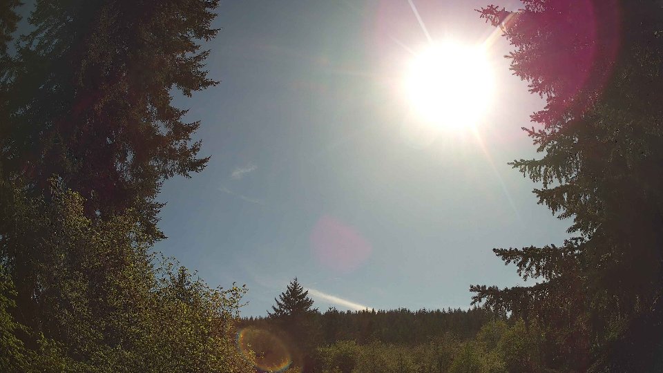
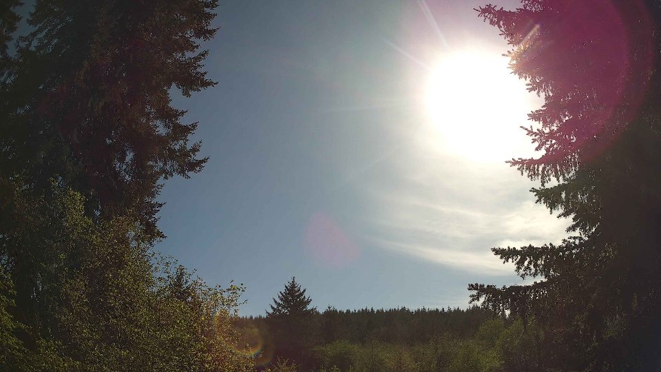
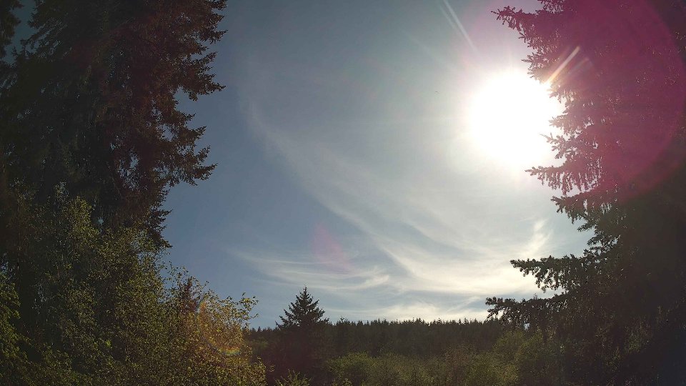
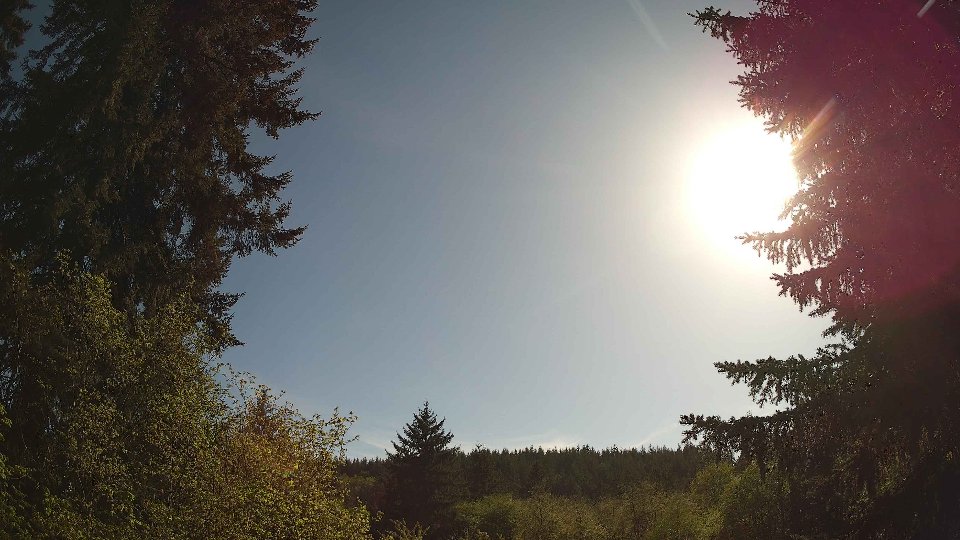
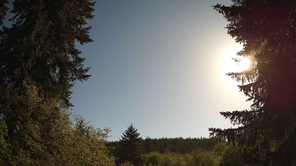
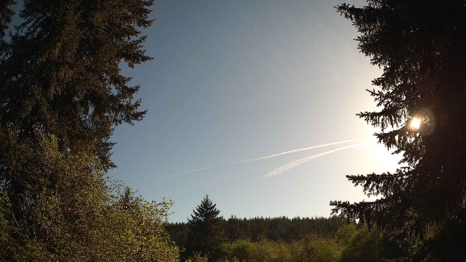
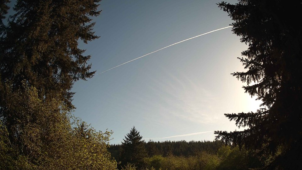
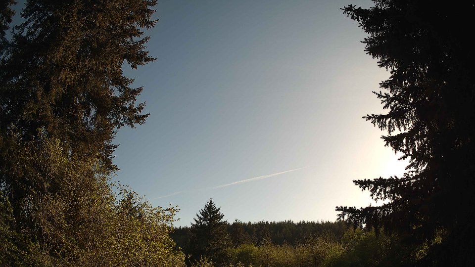
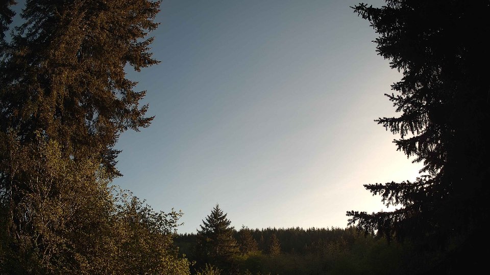
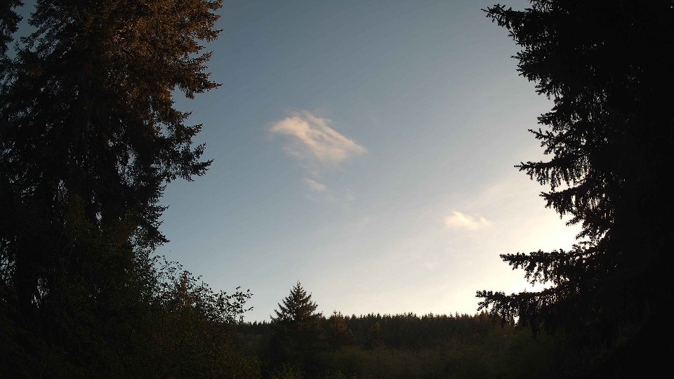
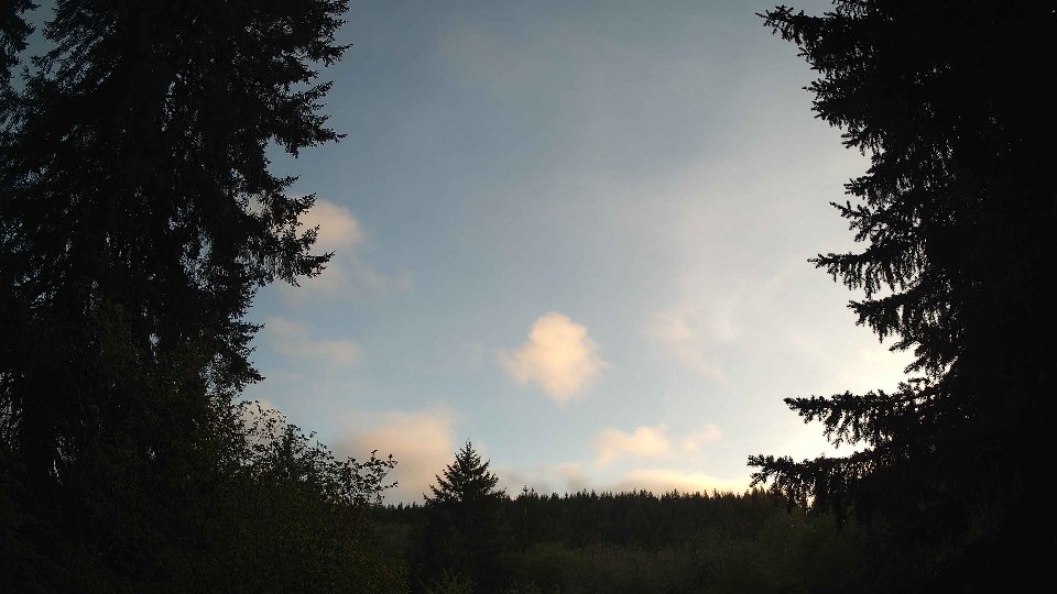
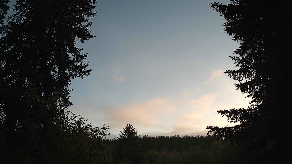
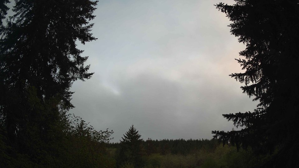
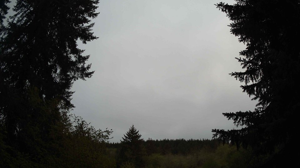
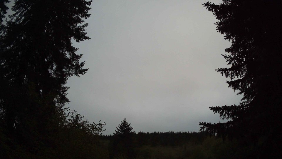
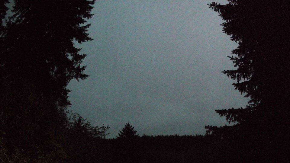
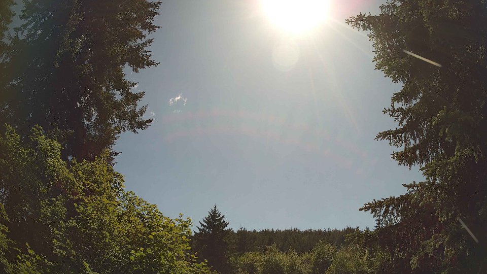
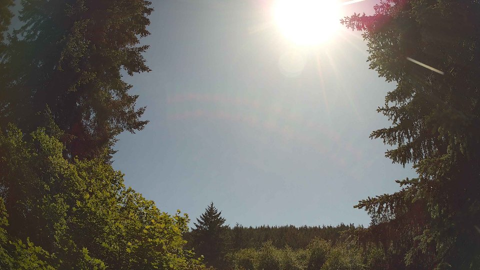
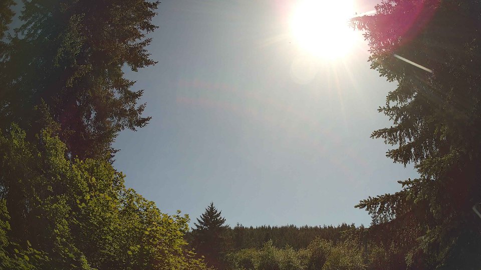
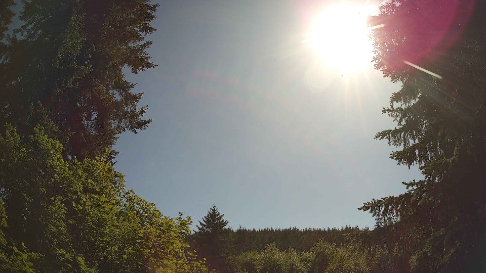
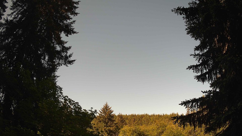
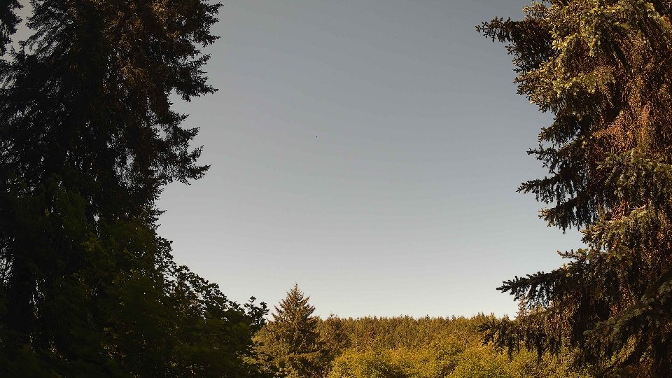
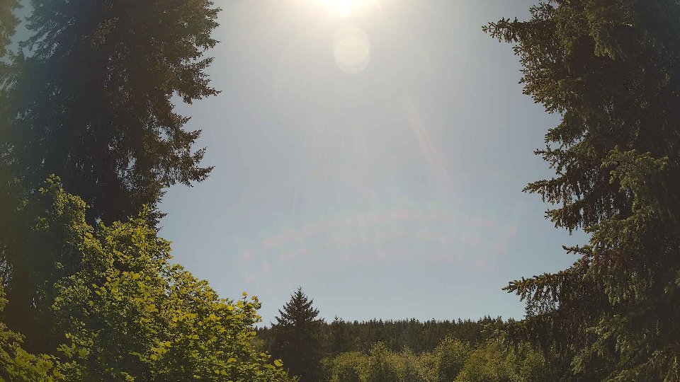
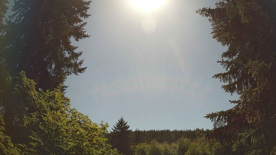
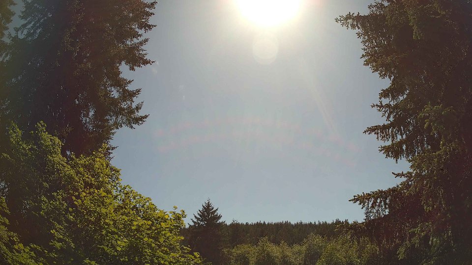
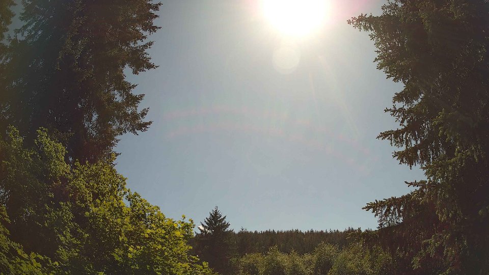
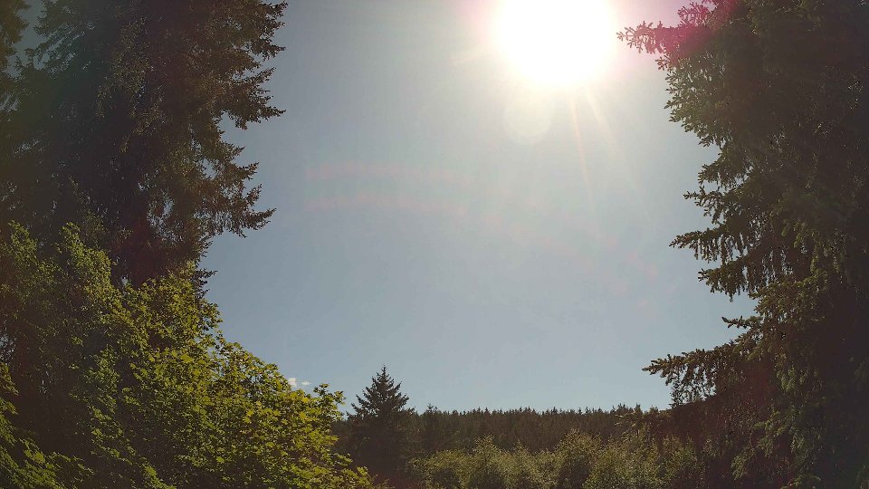
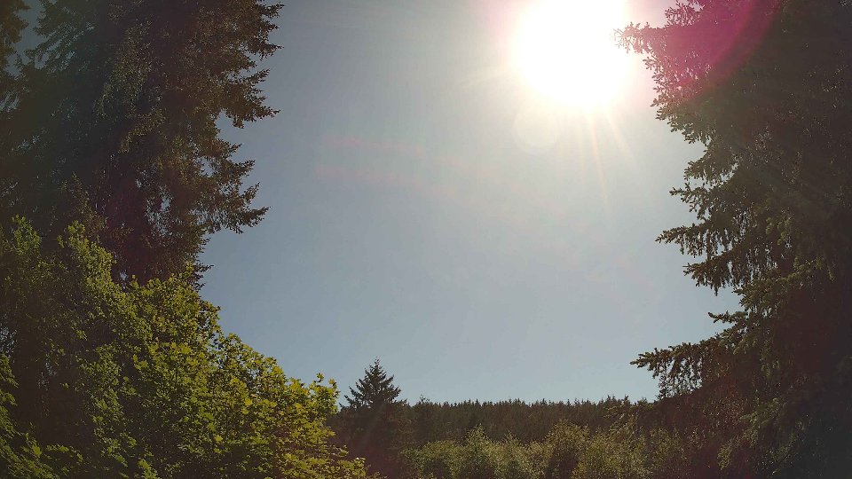
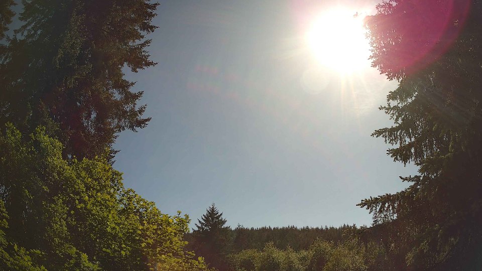
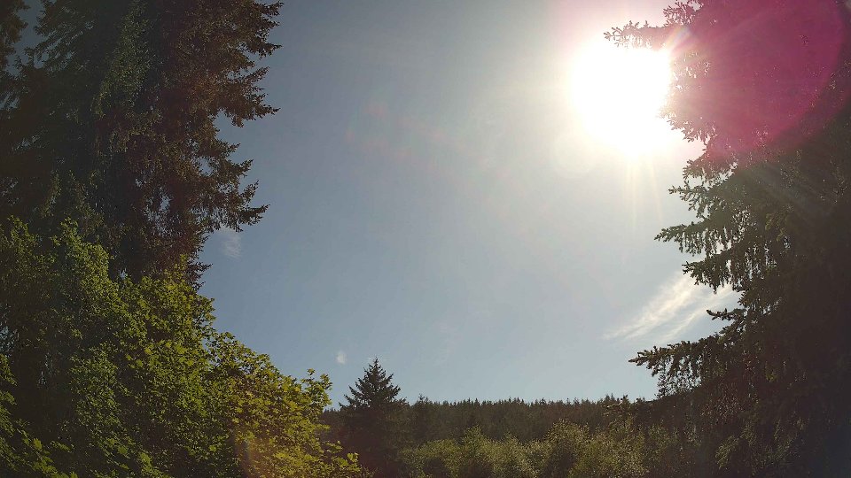
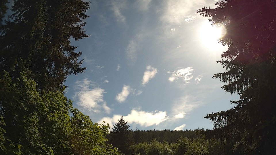
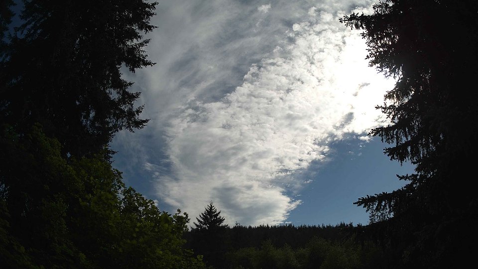
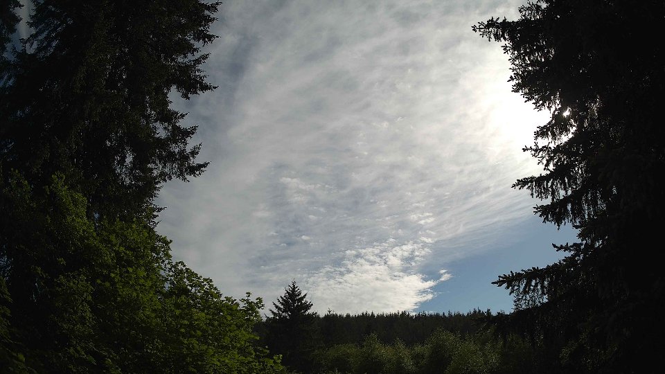
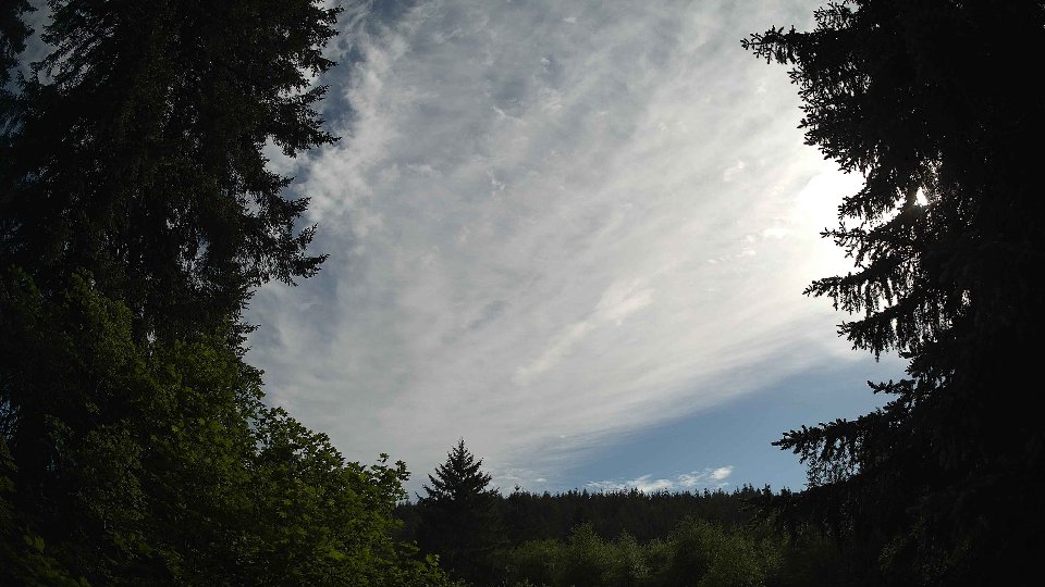
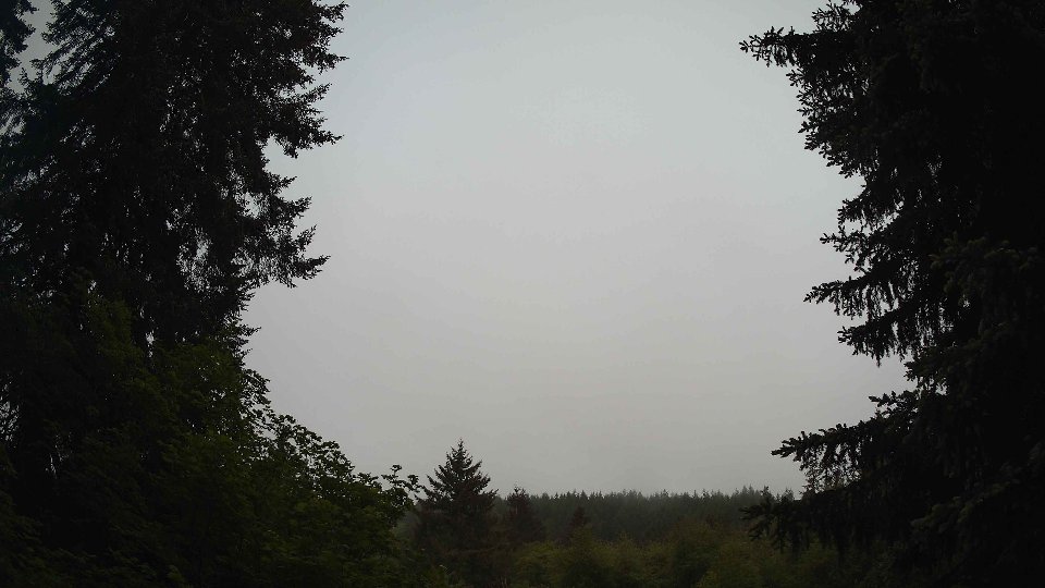
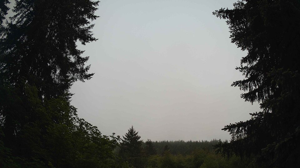
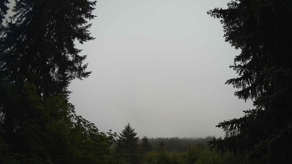
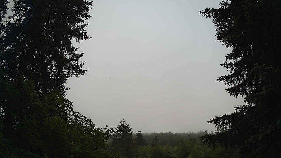
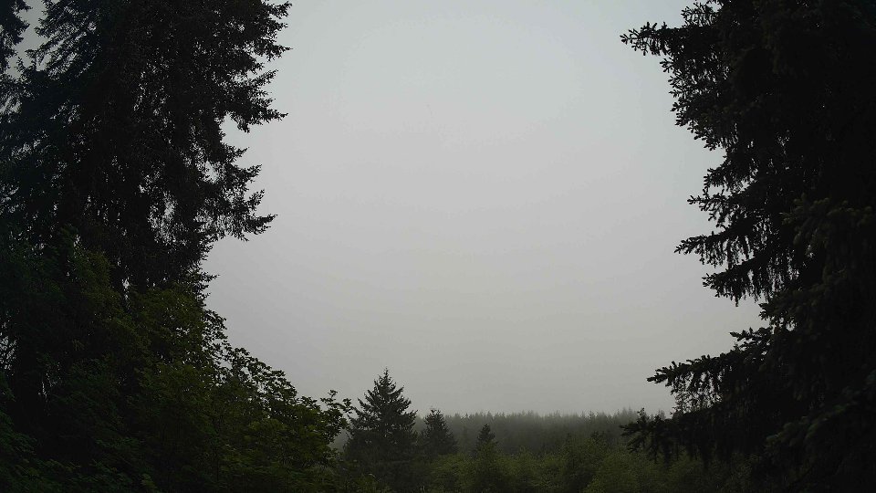
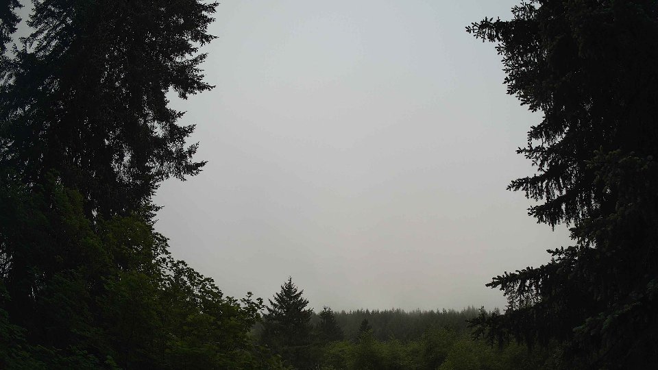
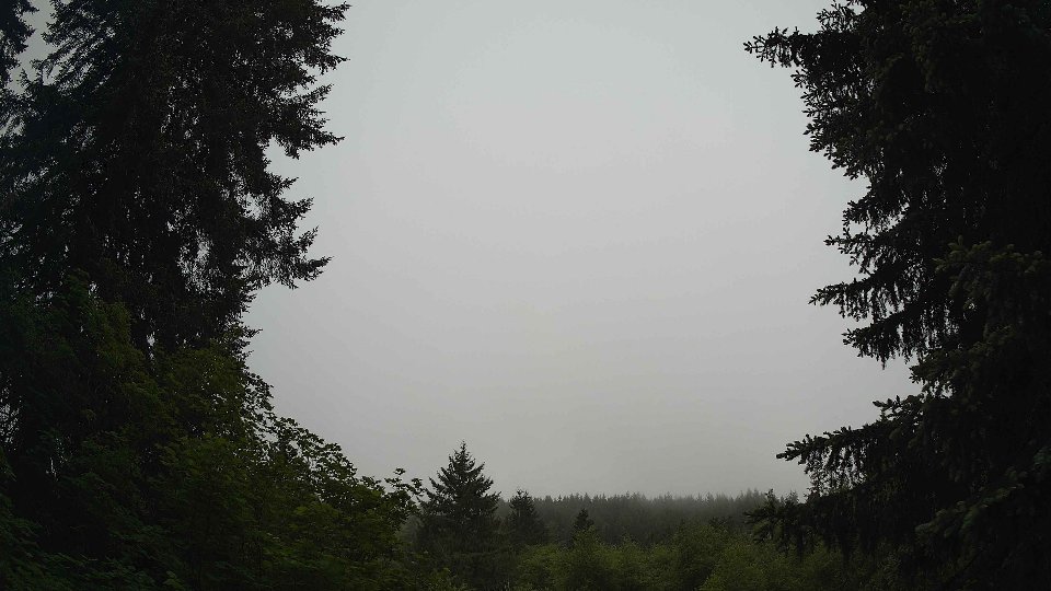
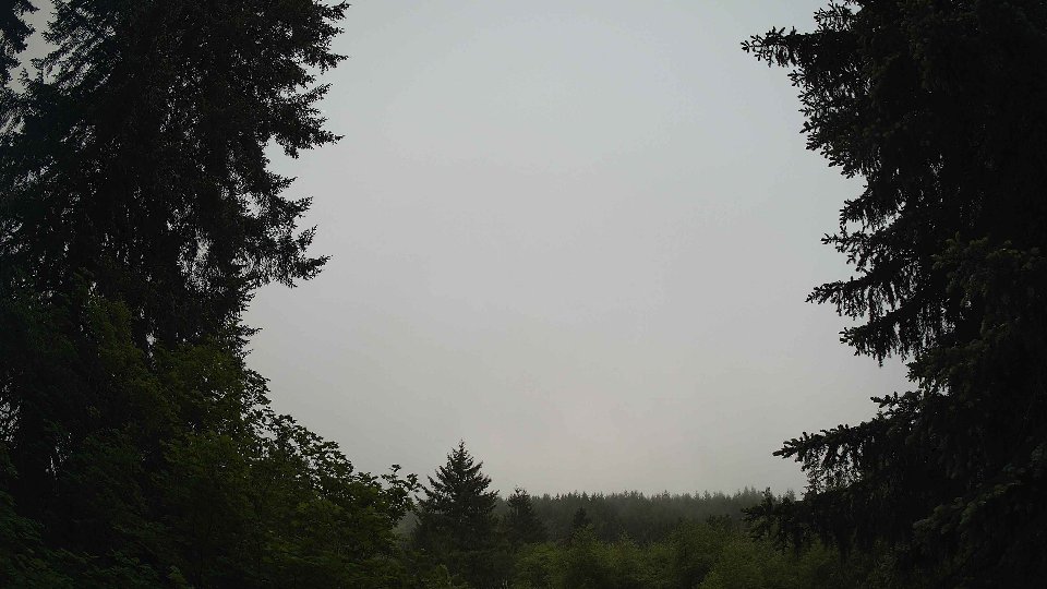
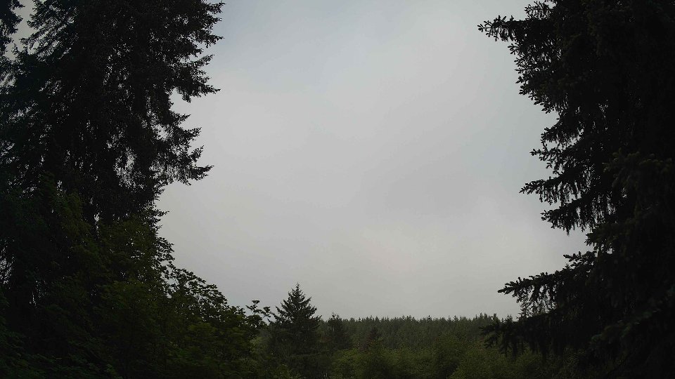
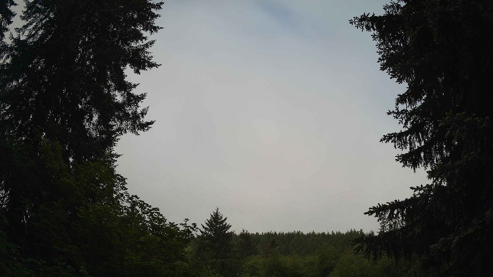
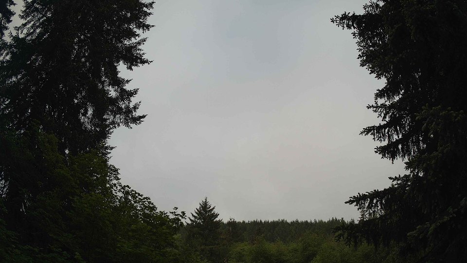
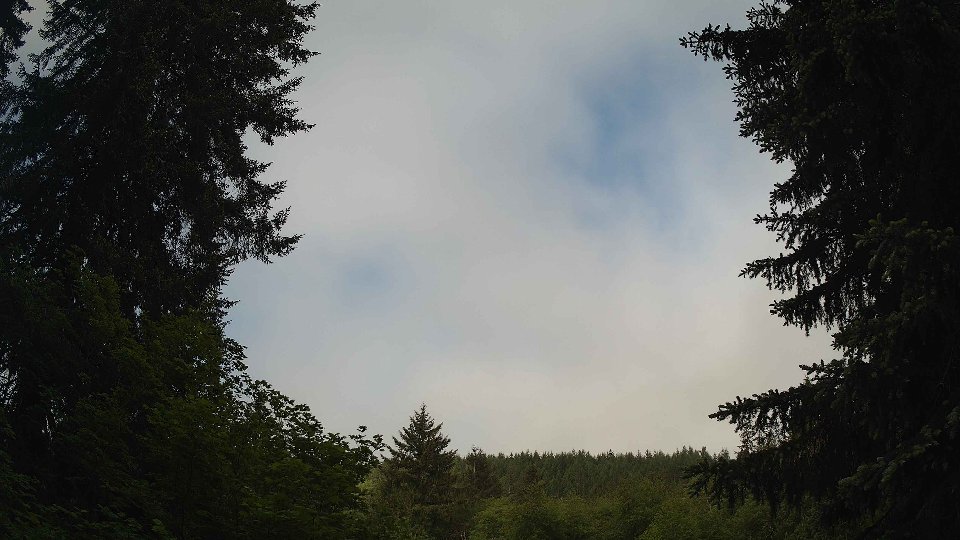
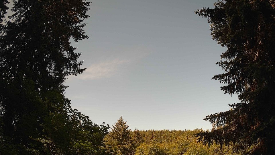
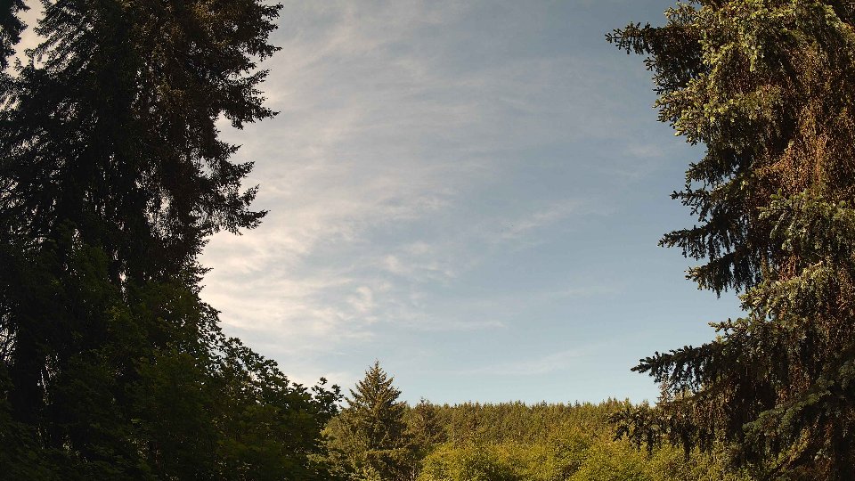
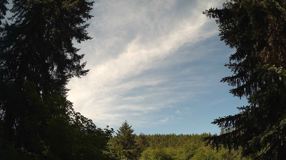
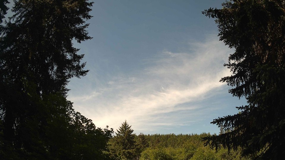
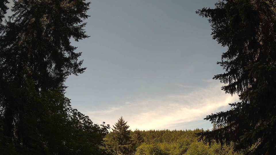
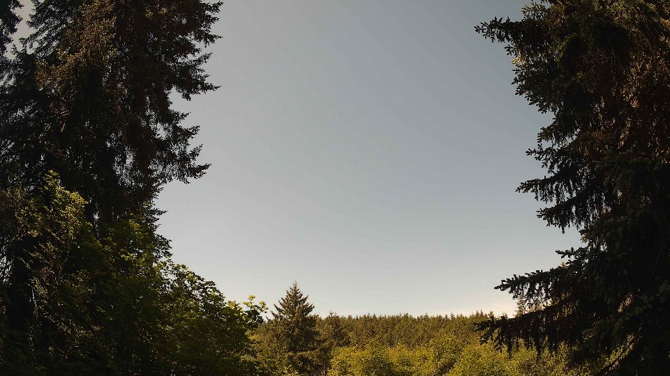
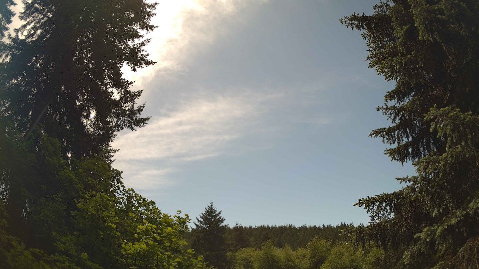
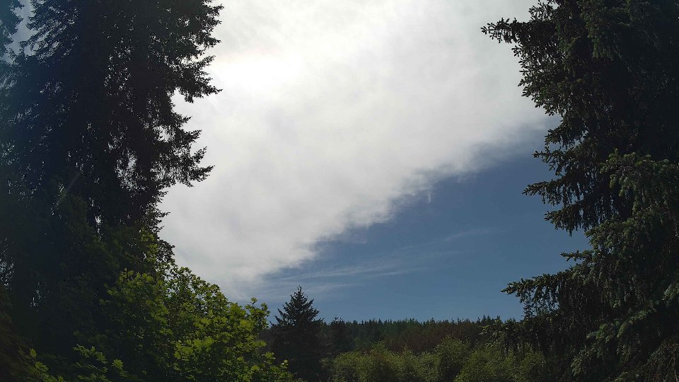
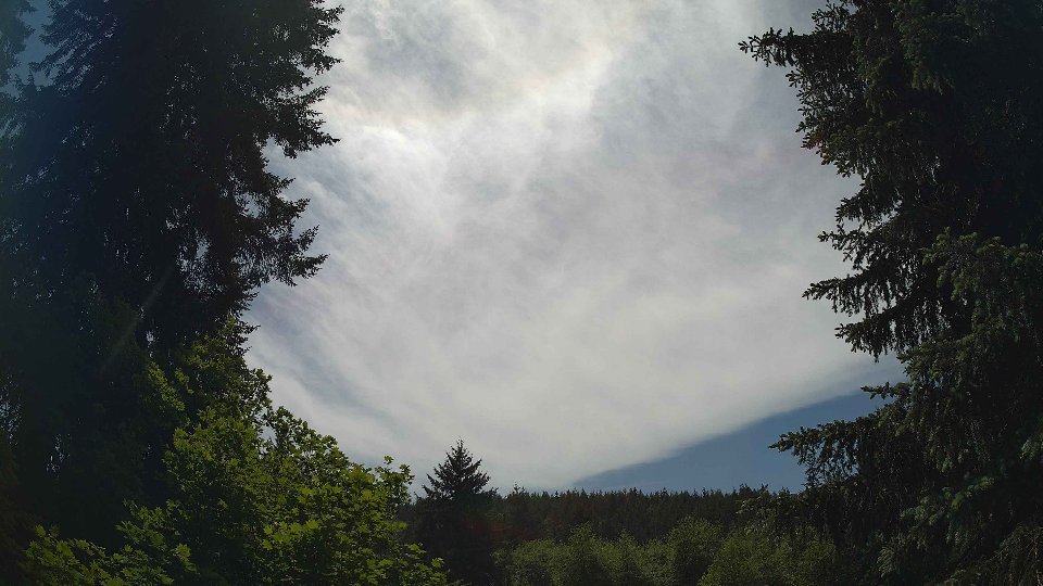
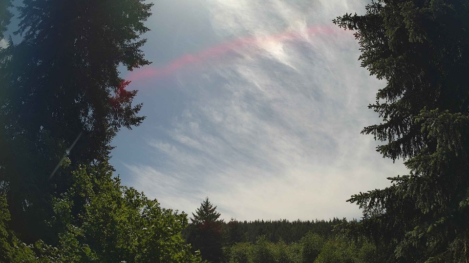
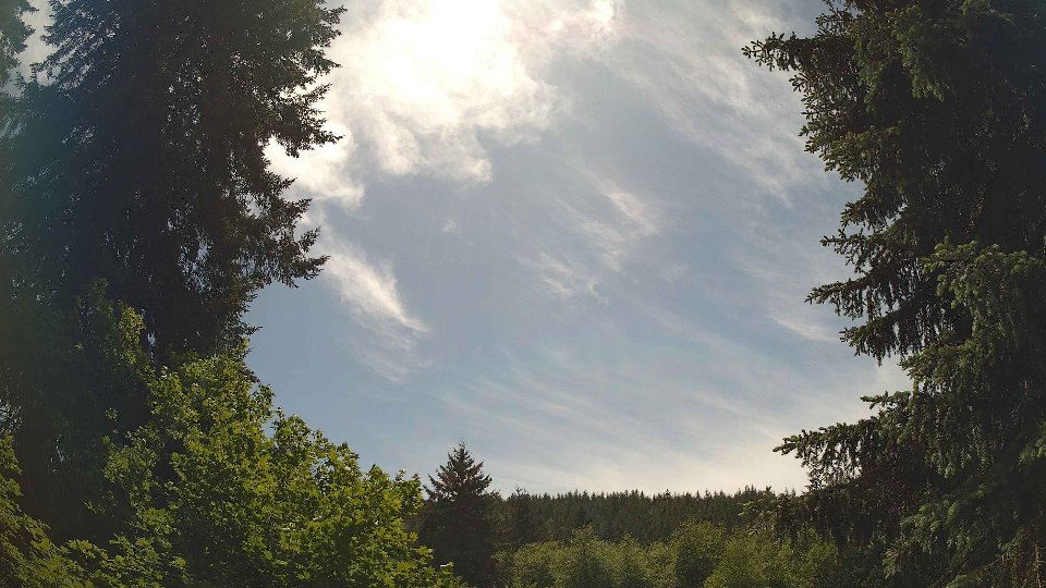
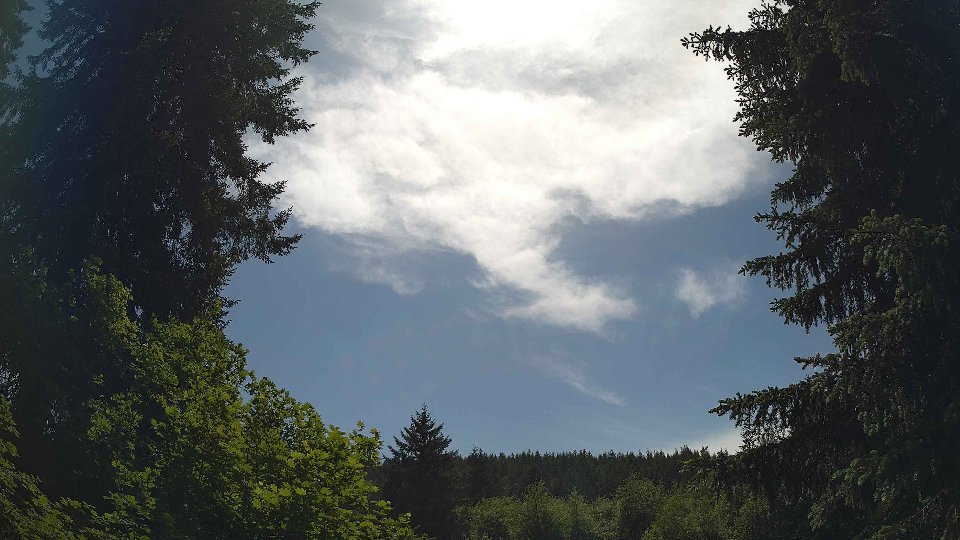
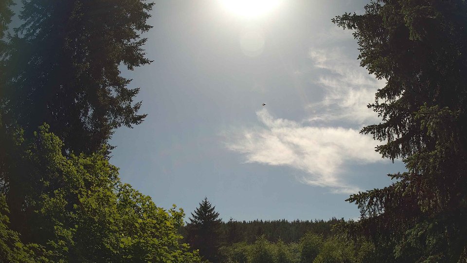
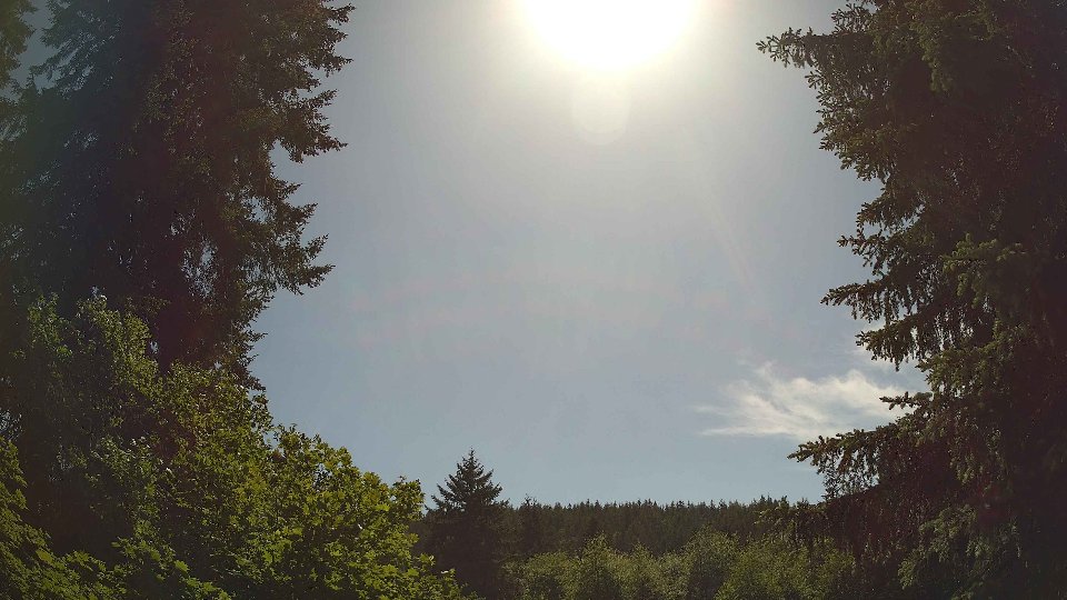
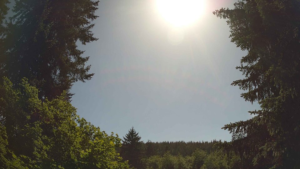
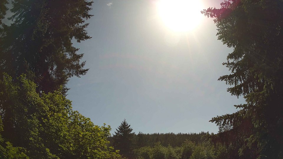
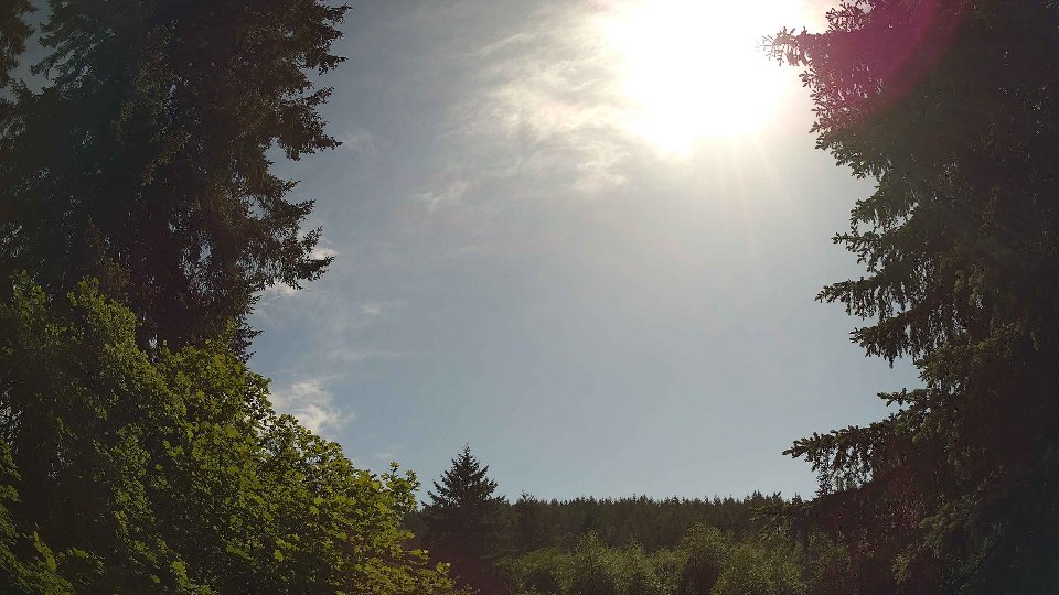
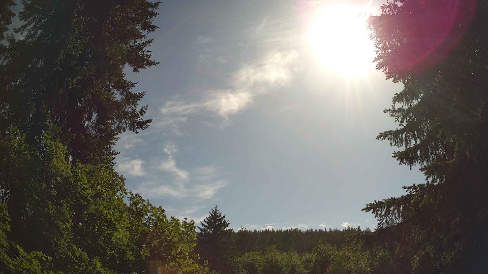
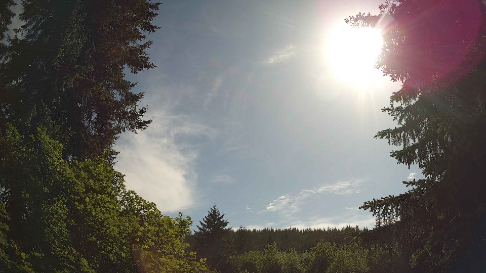
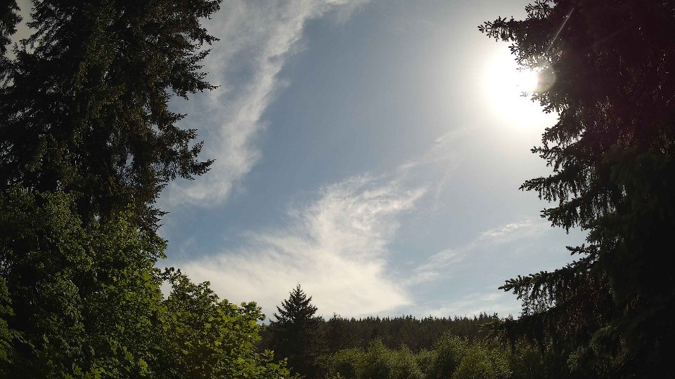
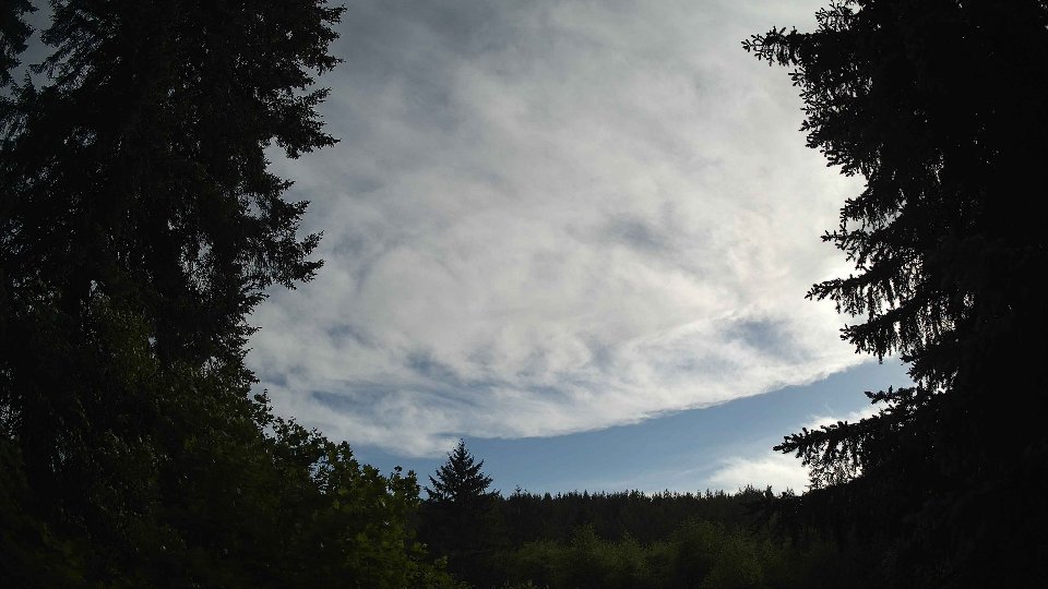
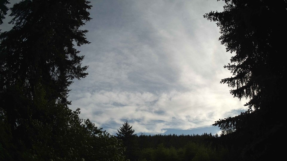
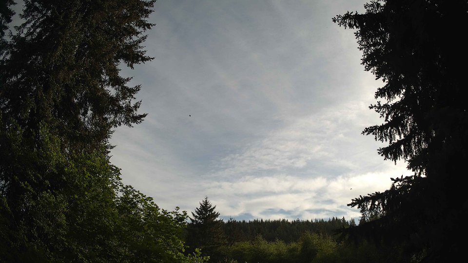
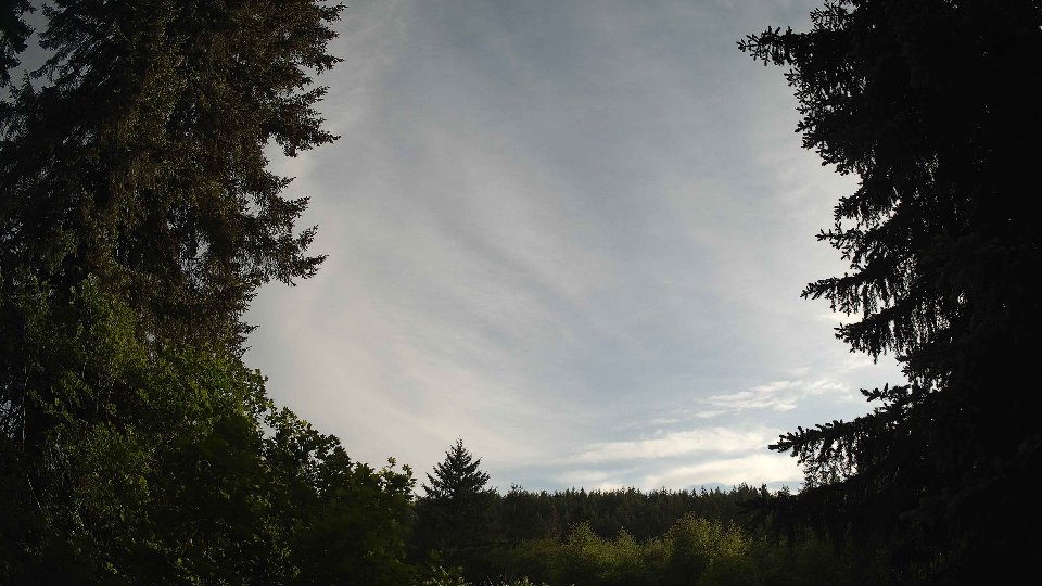
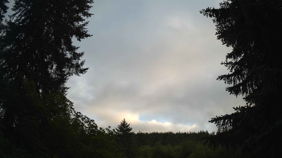
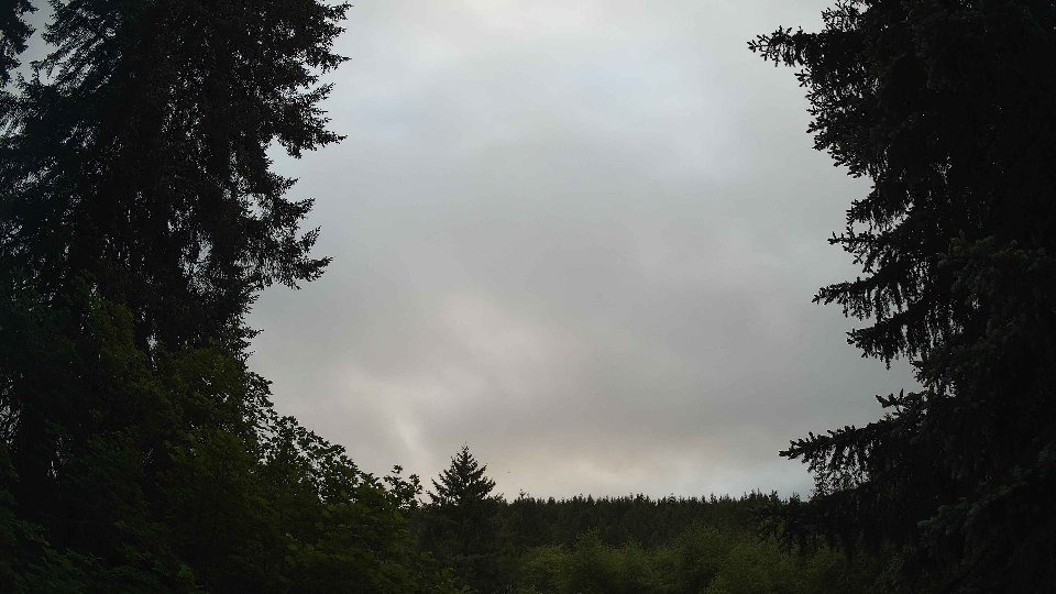
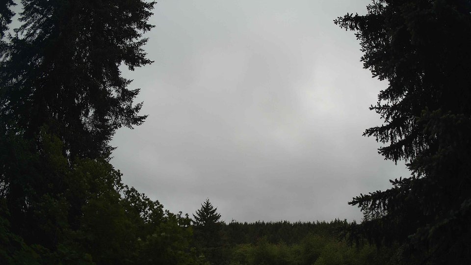
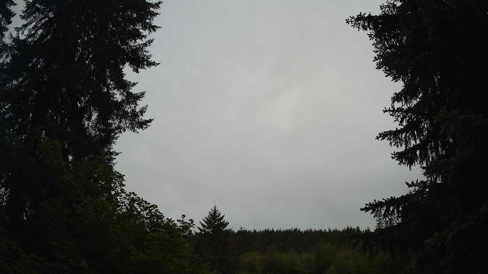
Screenshots with weather data (wind layers, clouds, precipitation)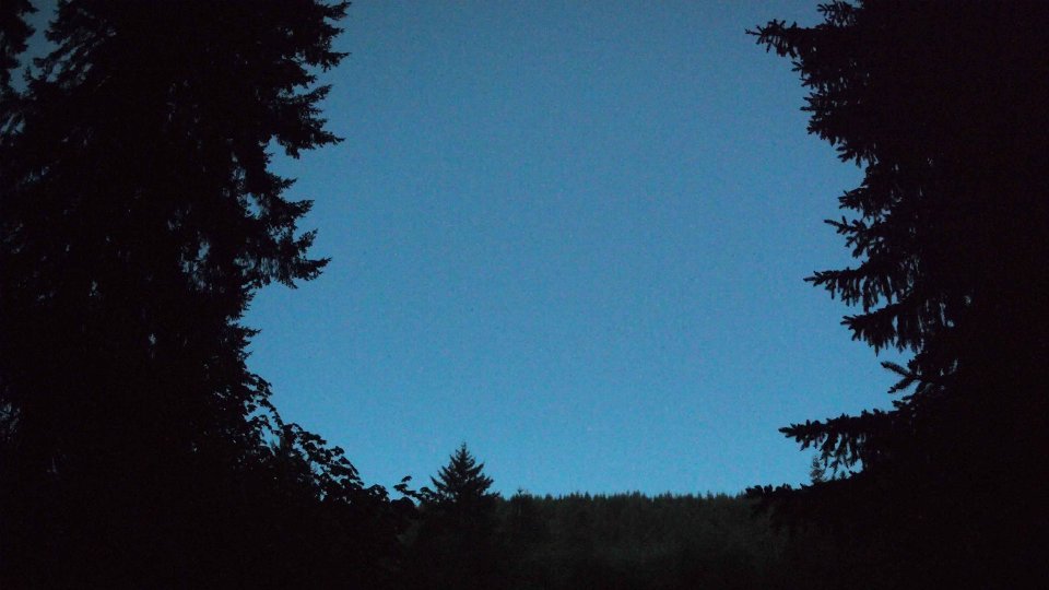
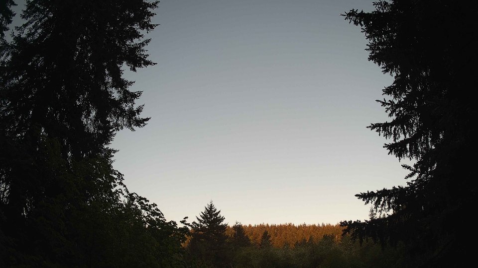
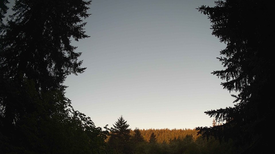
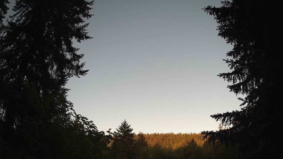
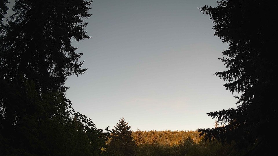
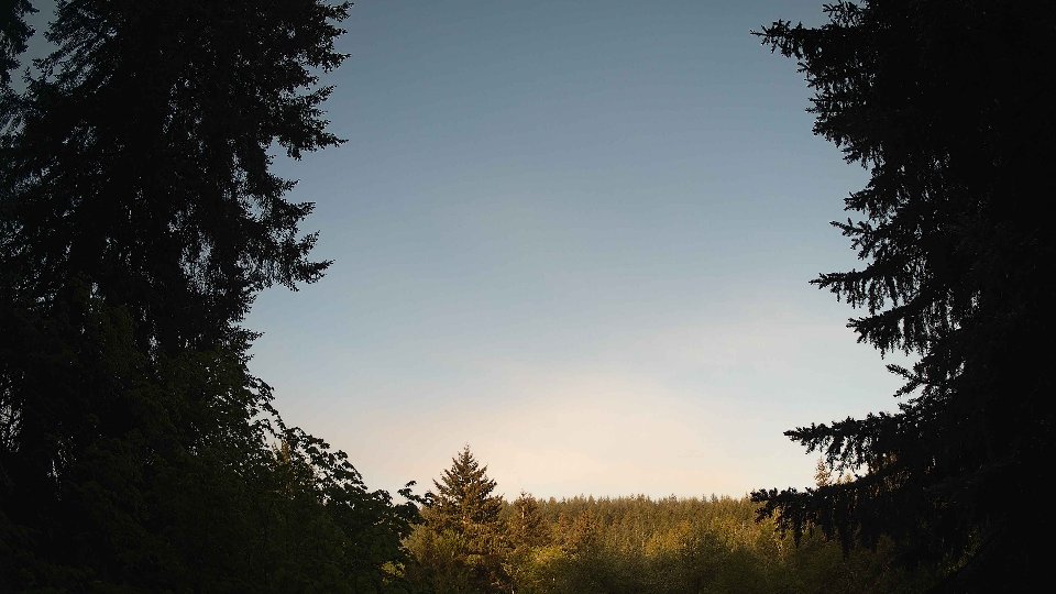
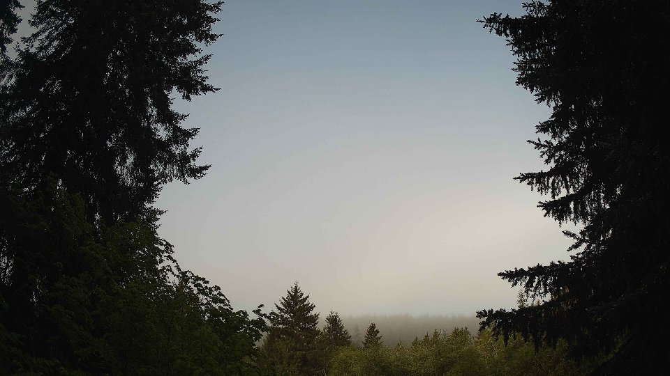
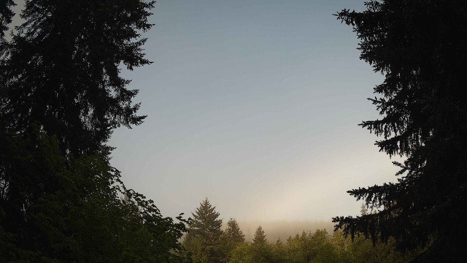

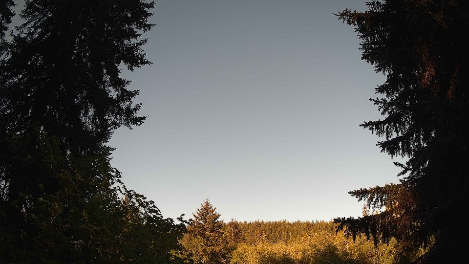

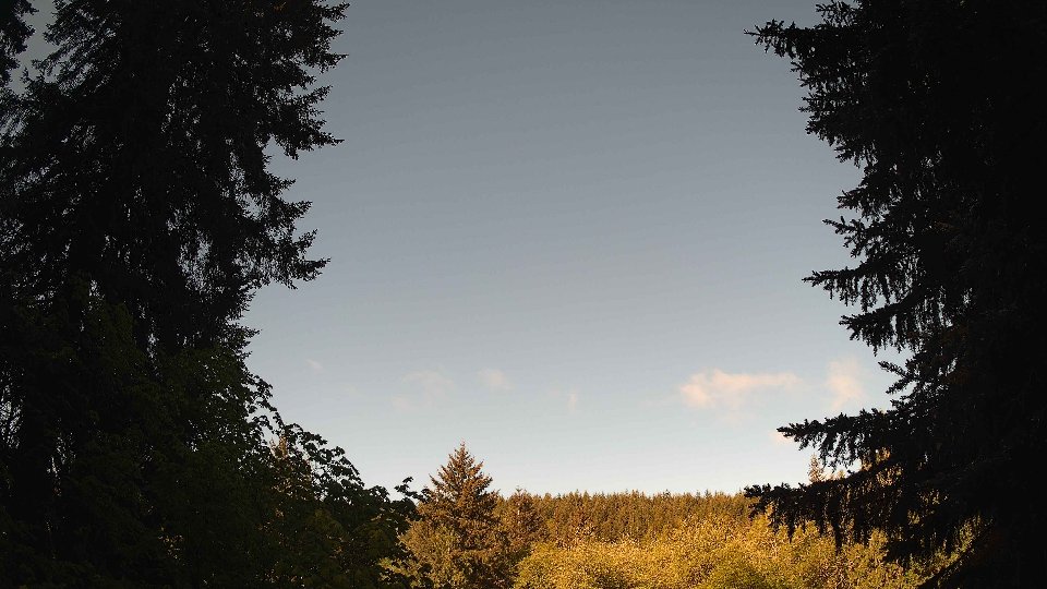
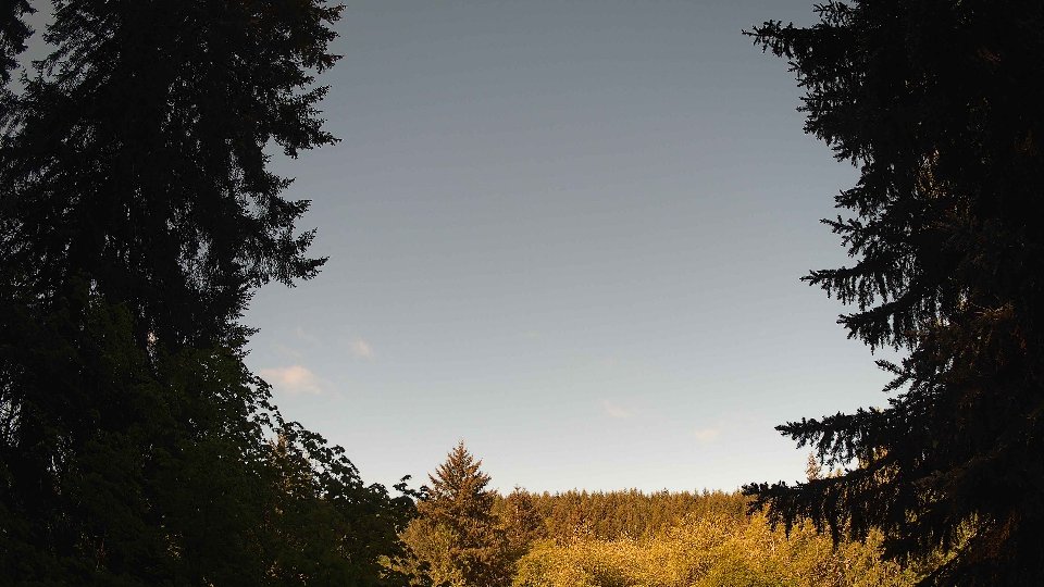
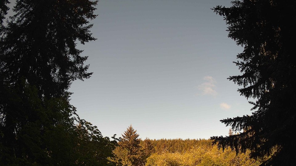
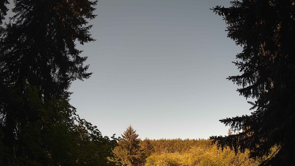
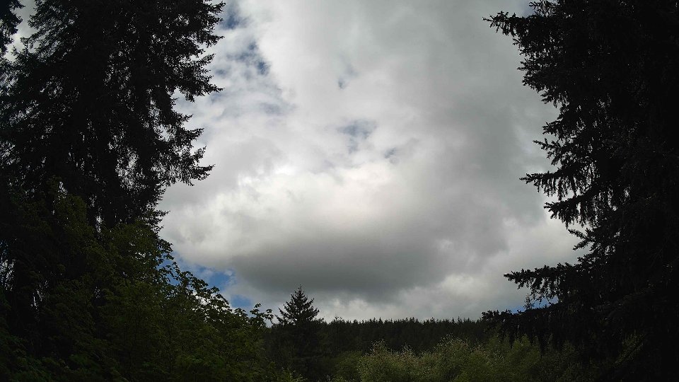
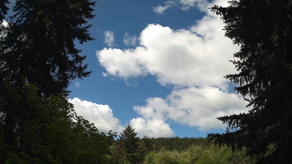
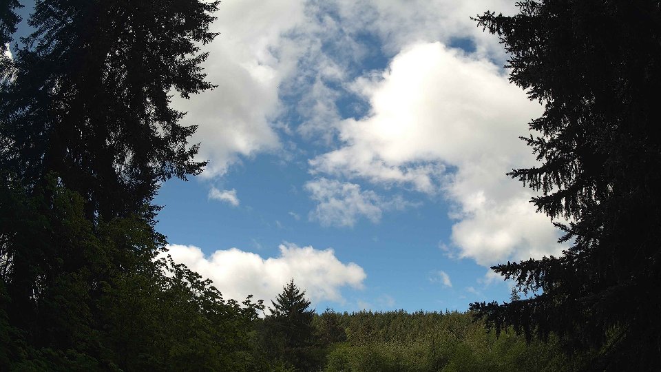
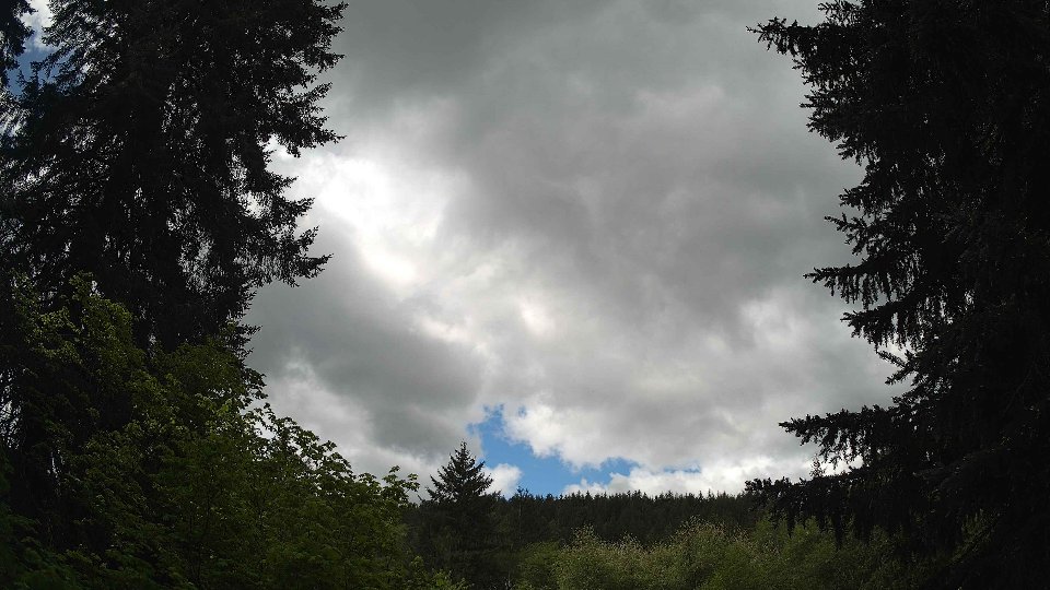
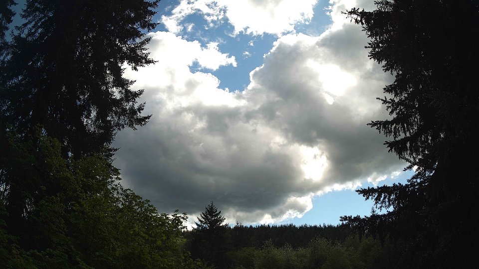
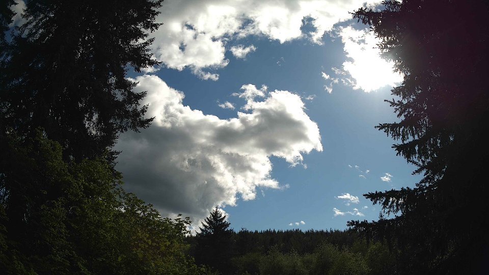
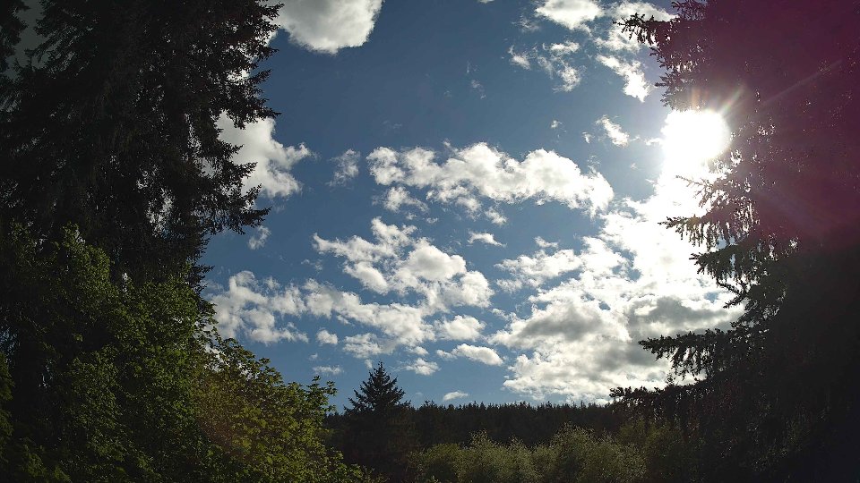
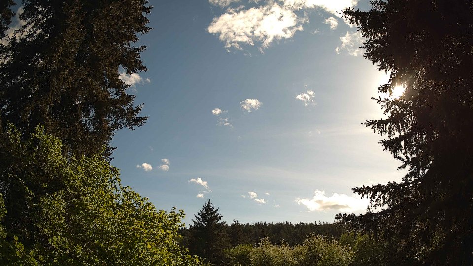

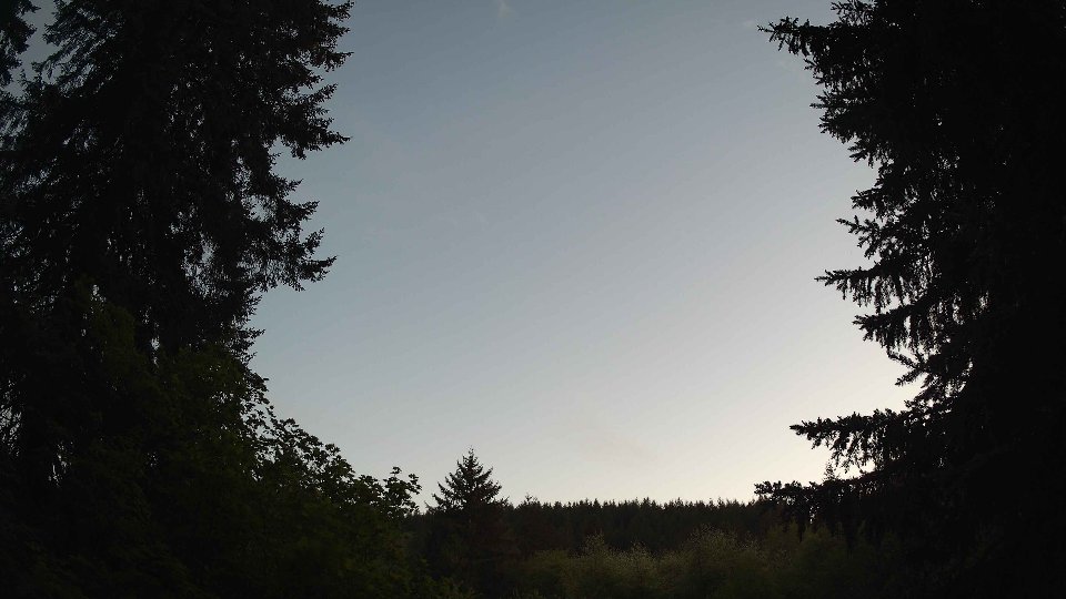
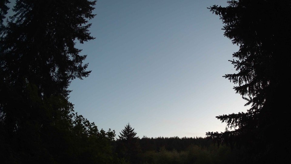
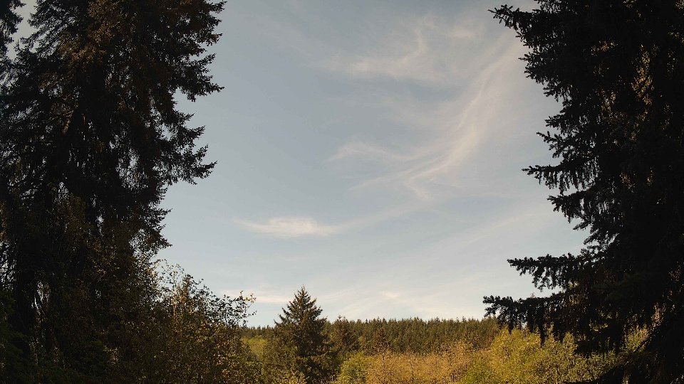
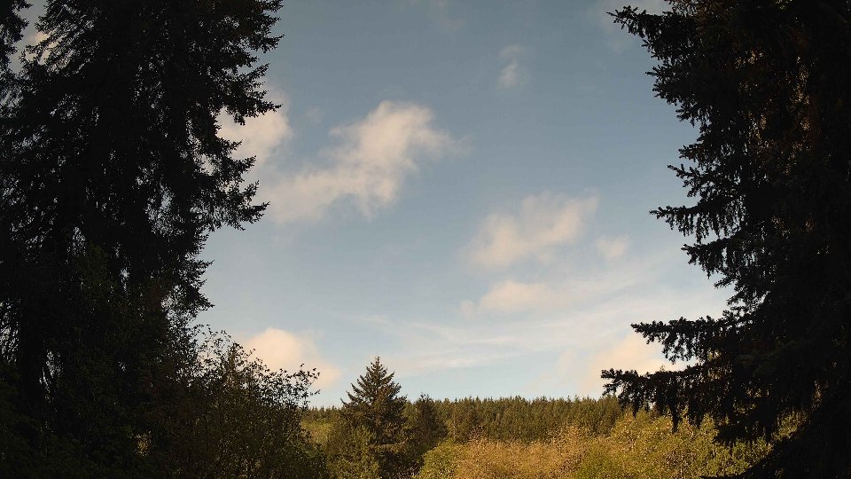
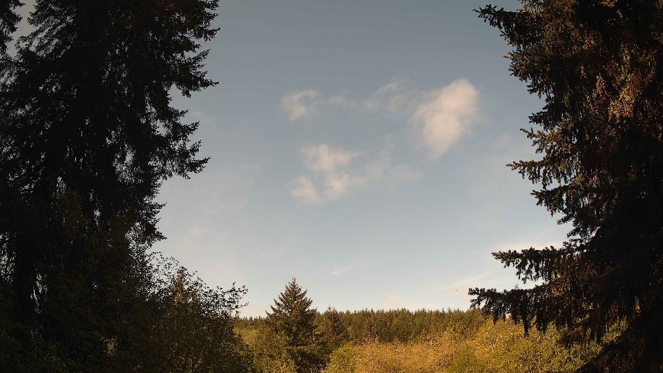
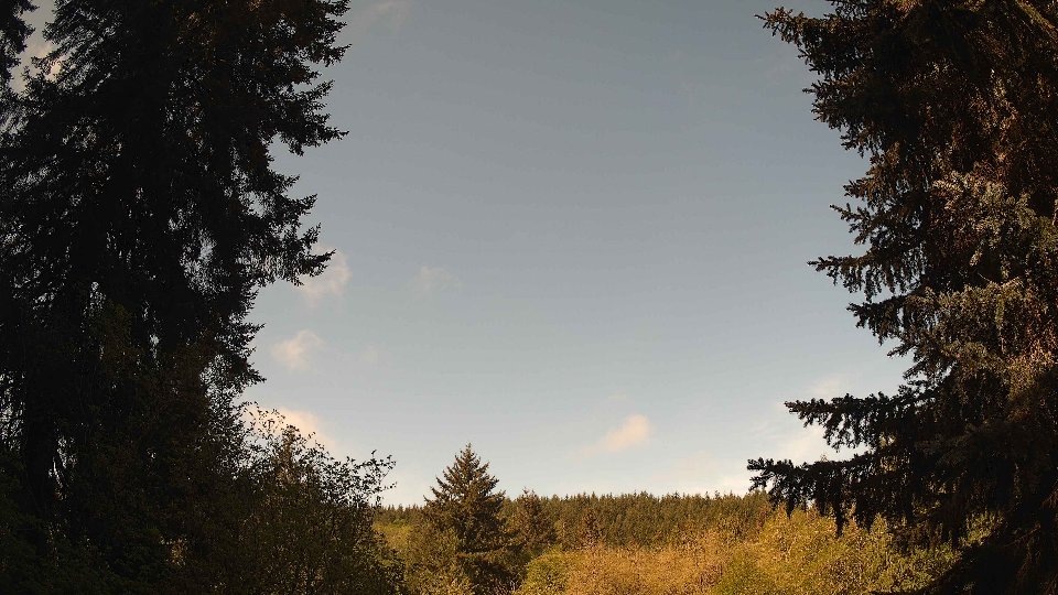
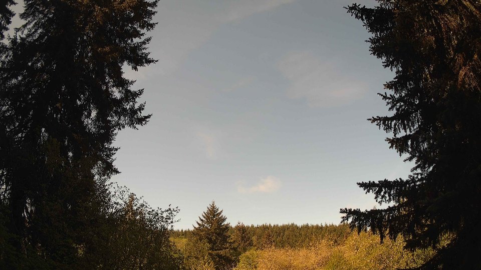








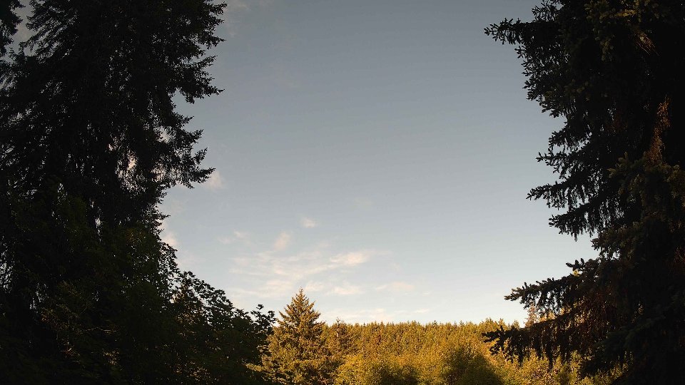
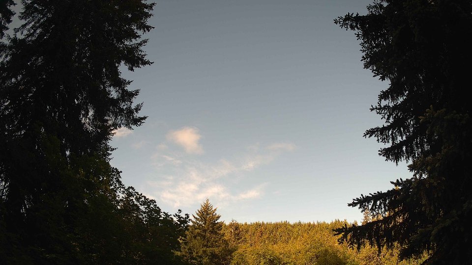
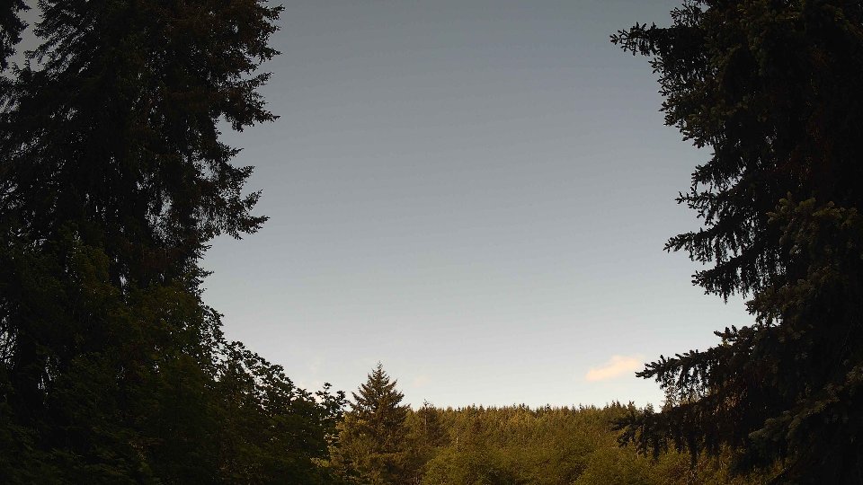
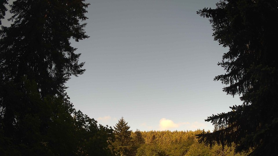
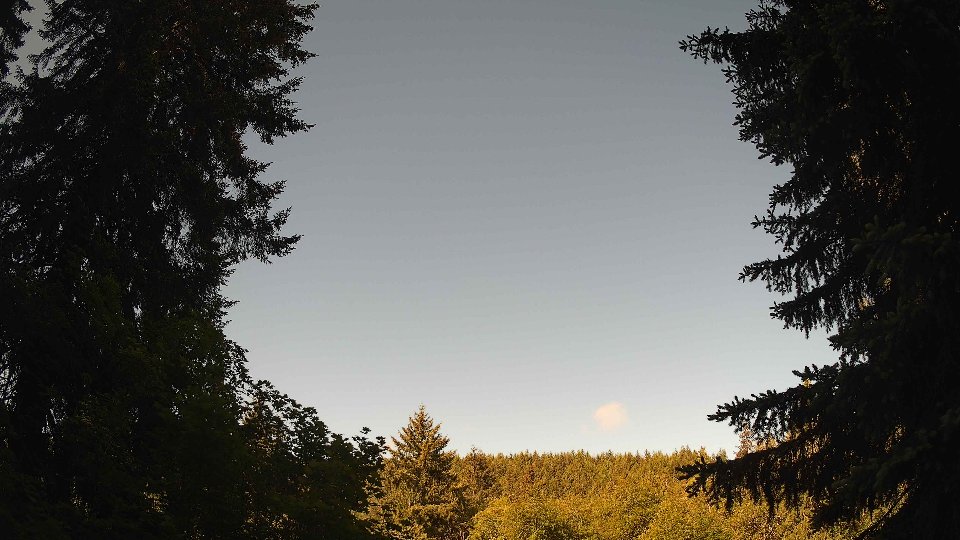
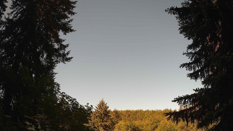






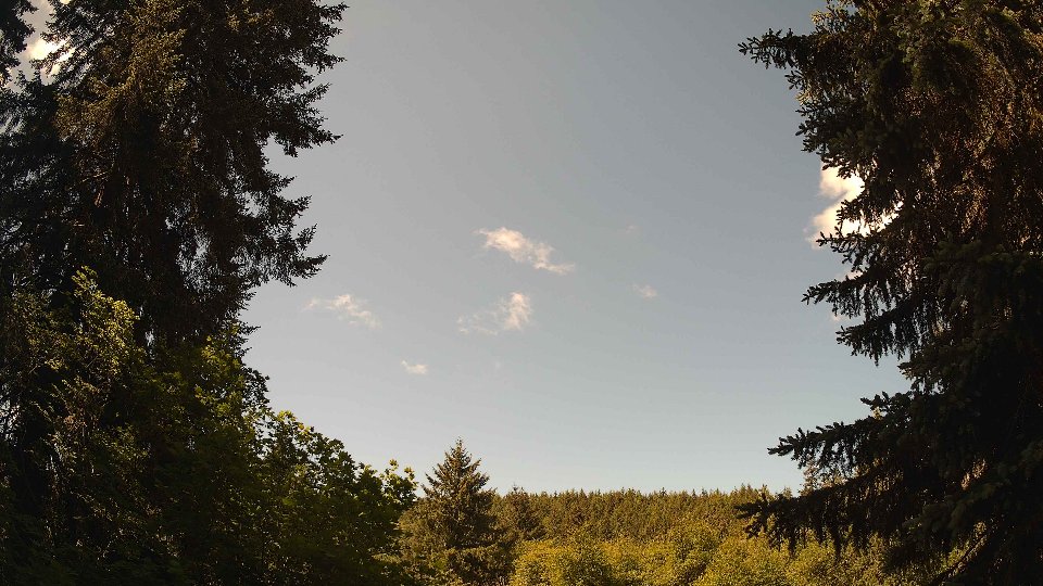
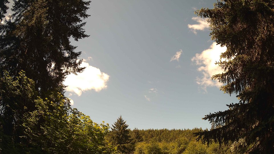







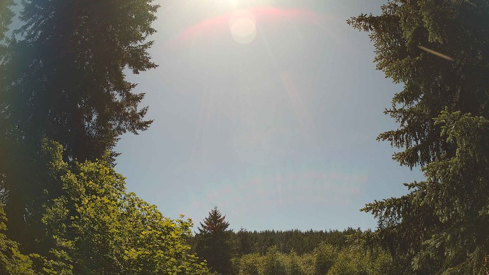
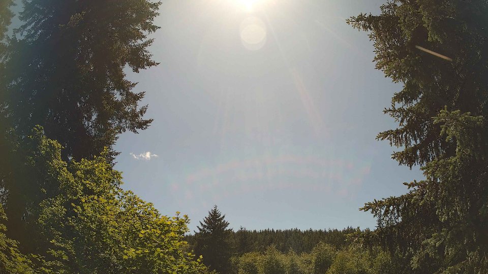
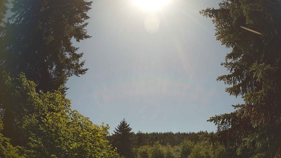
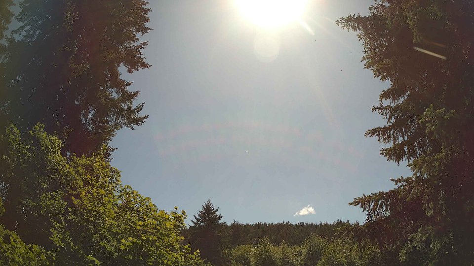
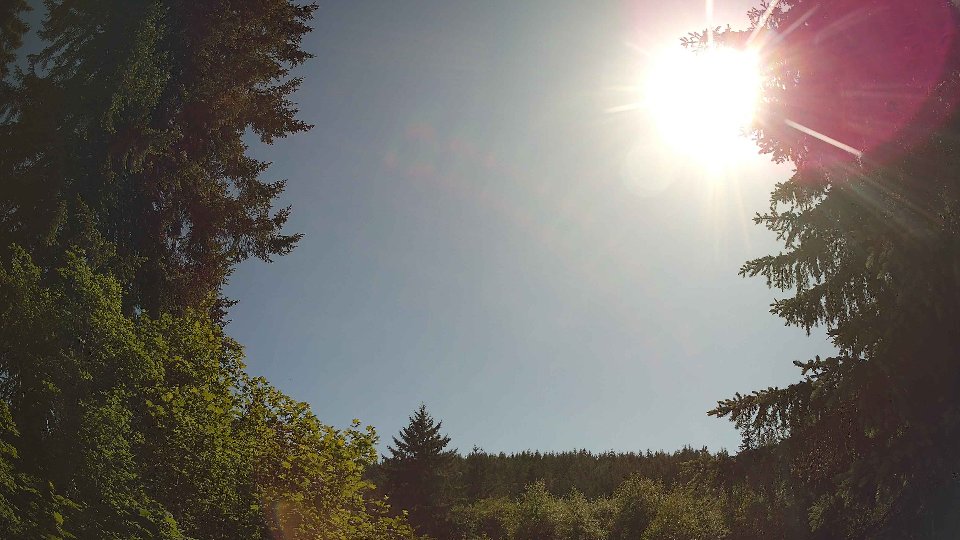








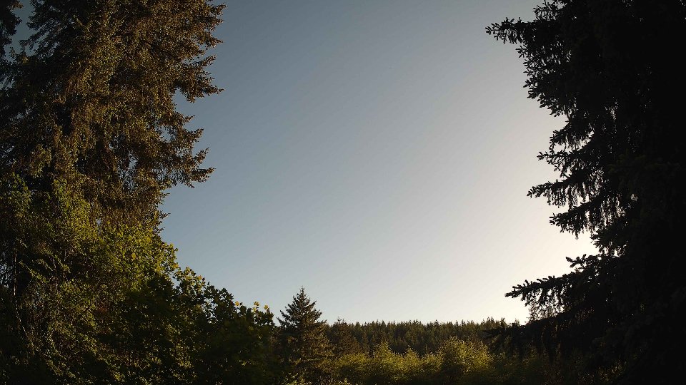
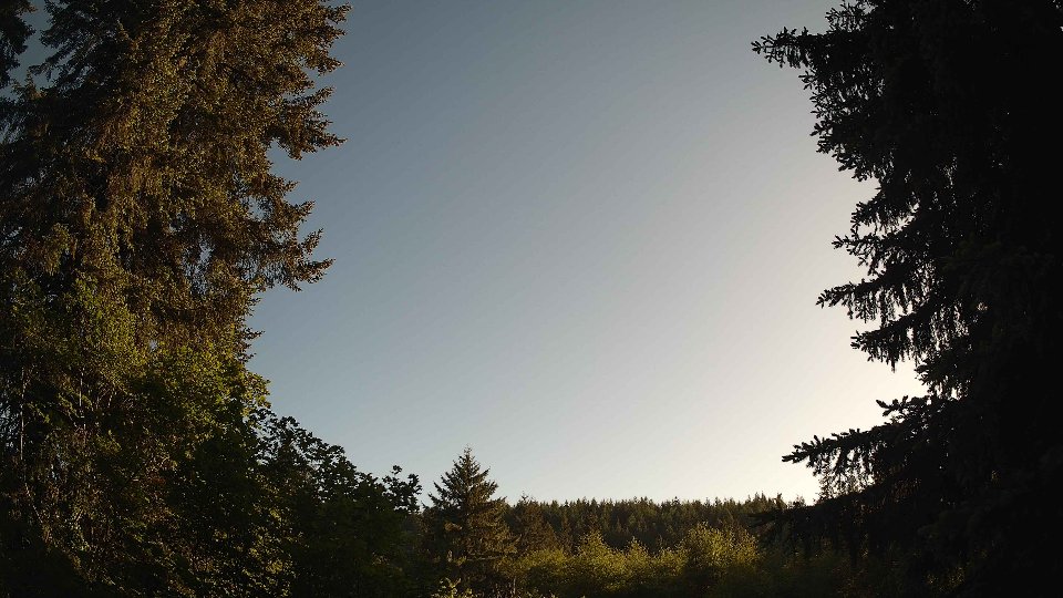
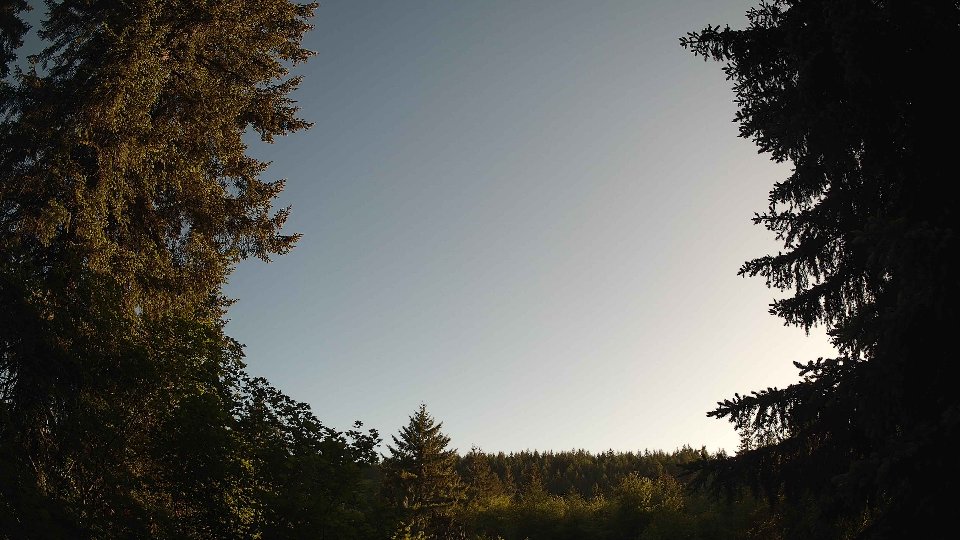
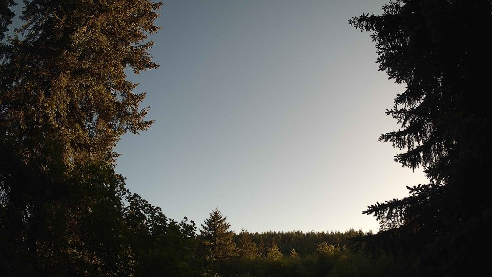
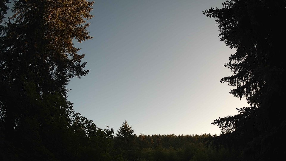
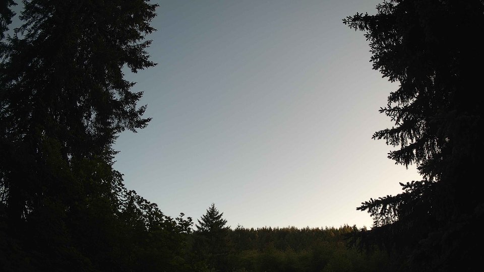
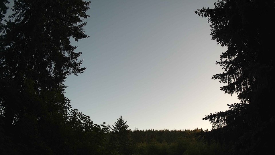

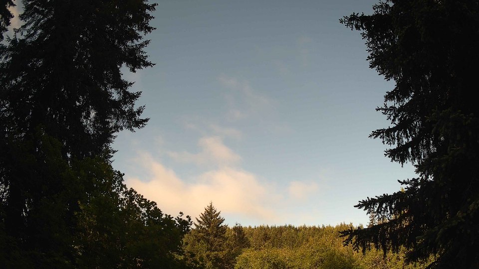
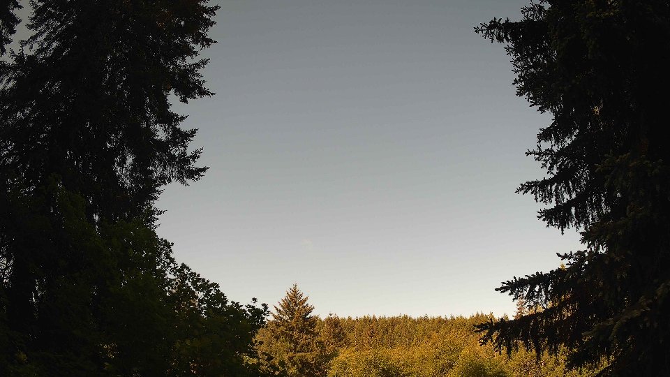
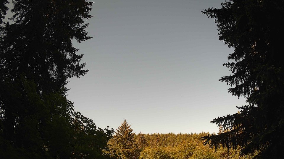
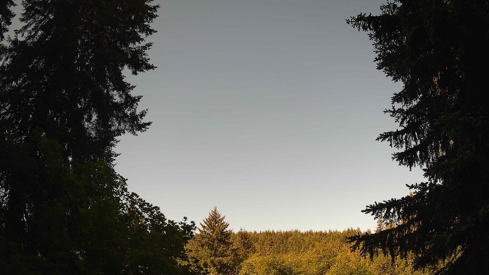










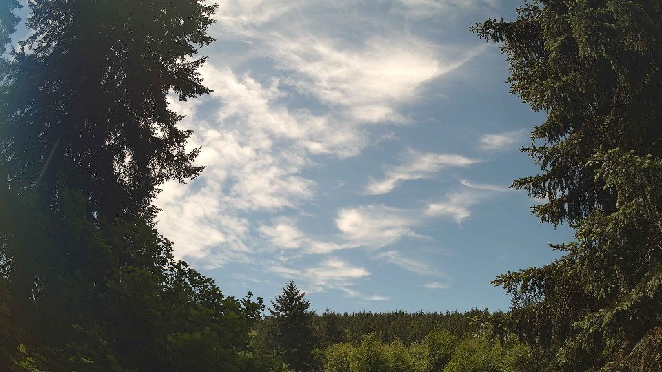
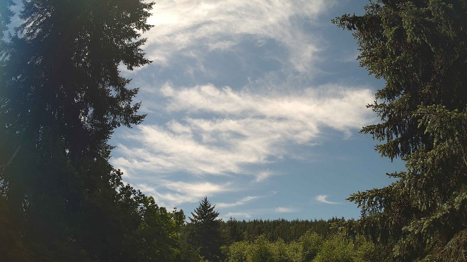
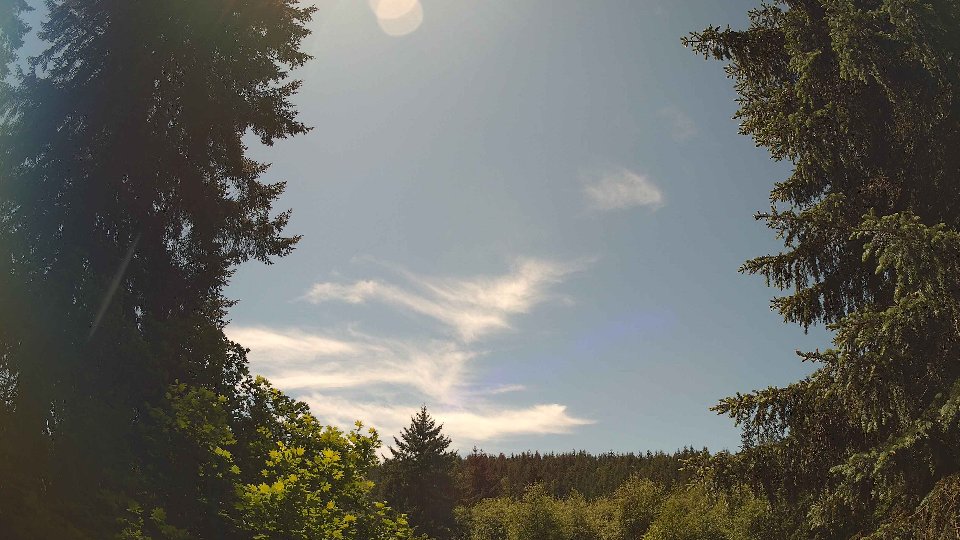


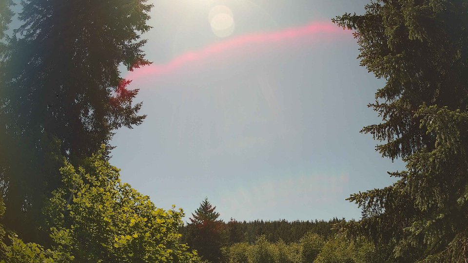











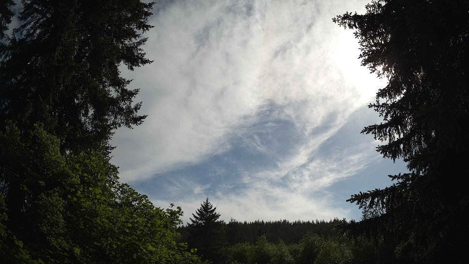
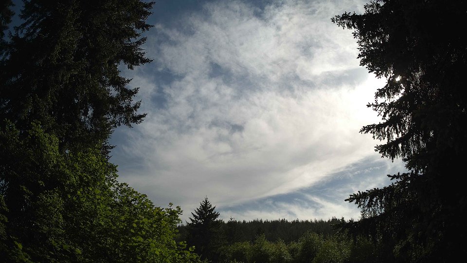
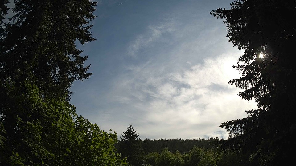
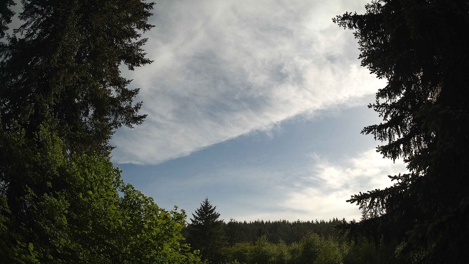
Weather Info for May 17th, 2026
Sunset: 8:40 PM