April 20th, 2026 Timelapse
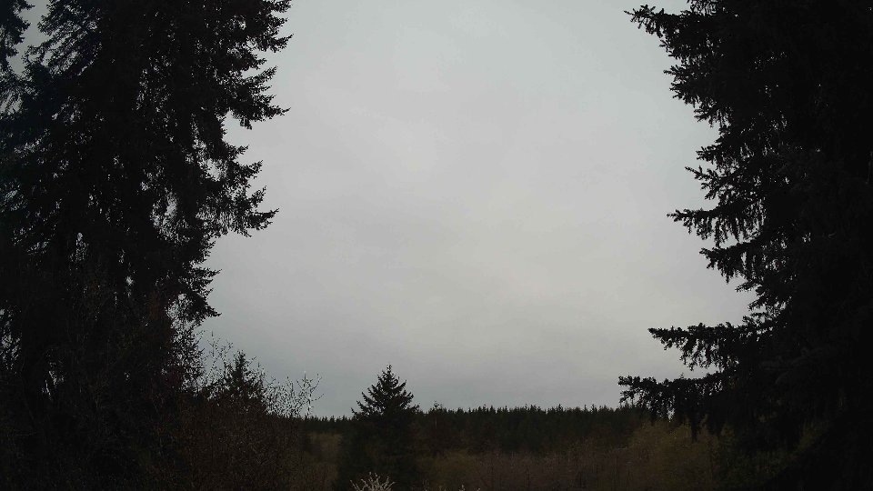
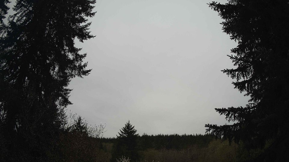
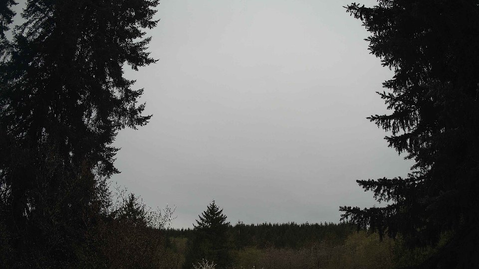
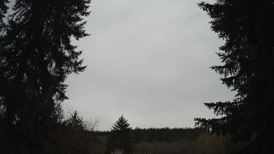
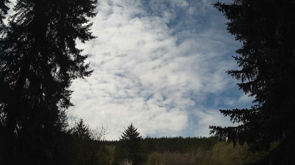
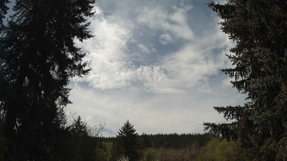
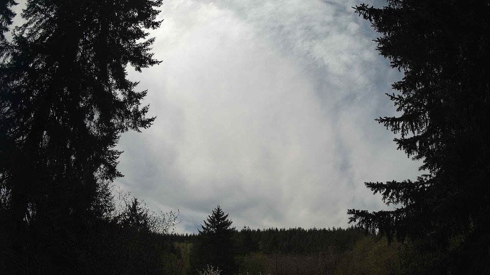
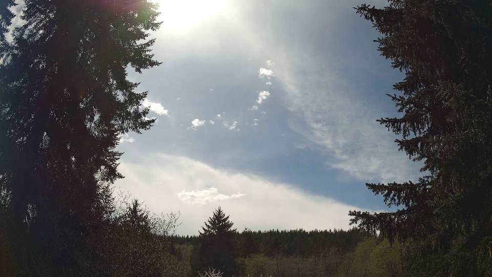
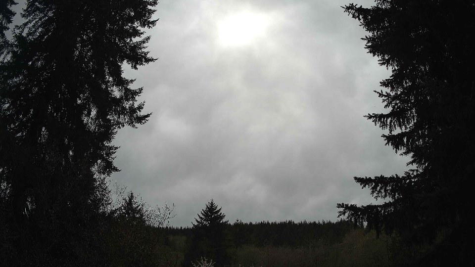
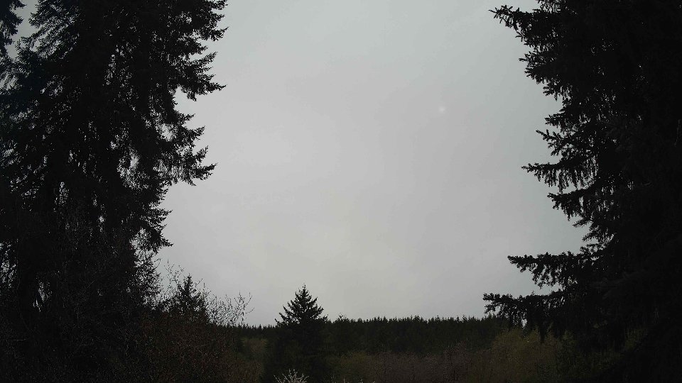
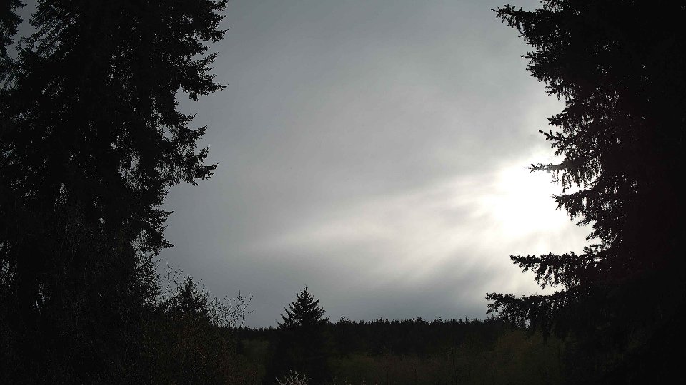
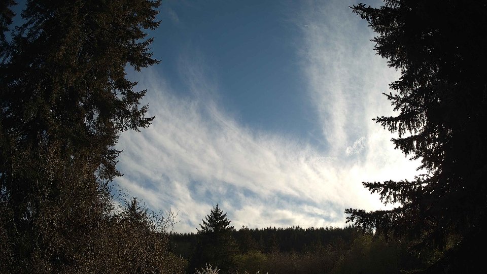
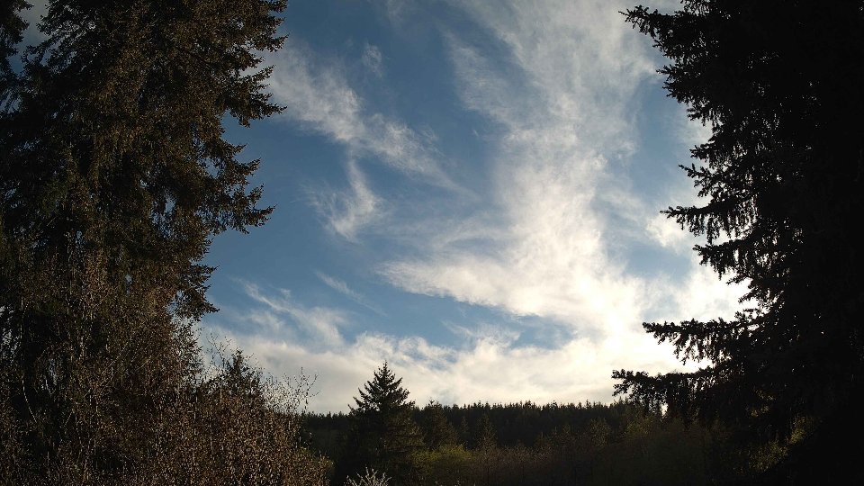
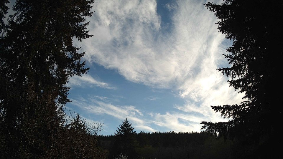
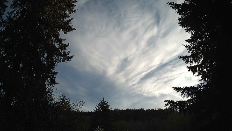
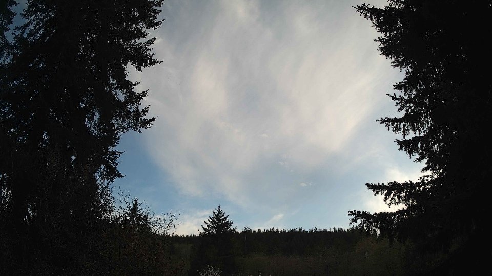
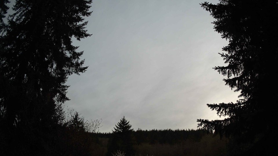
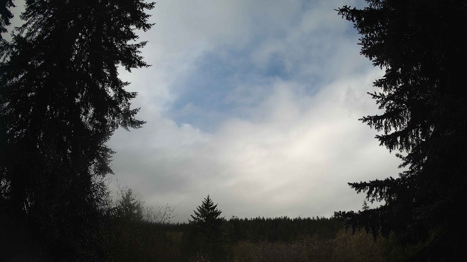
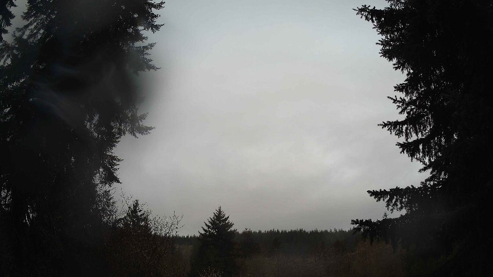
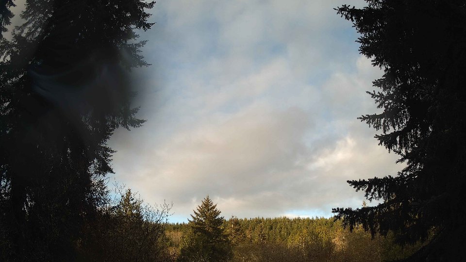
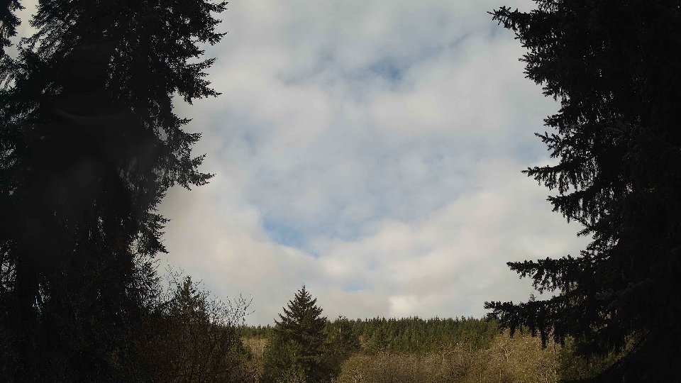
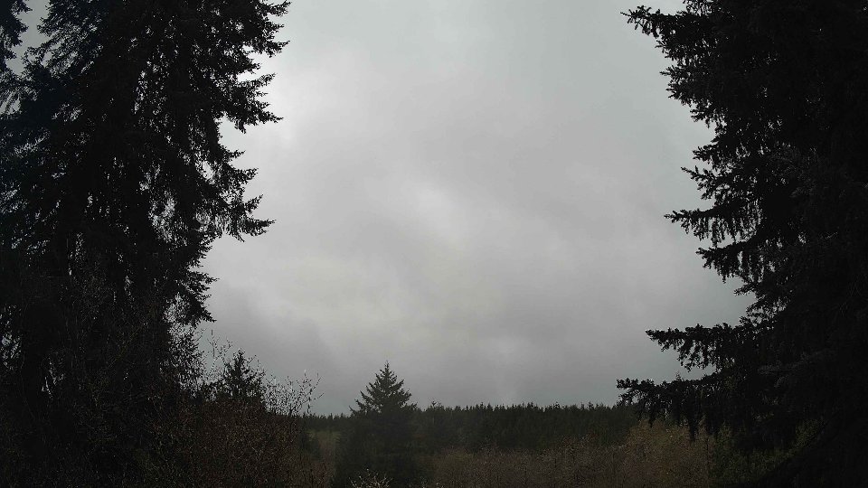
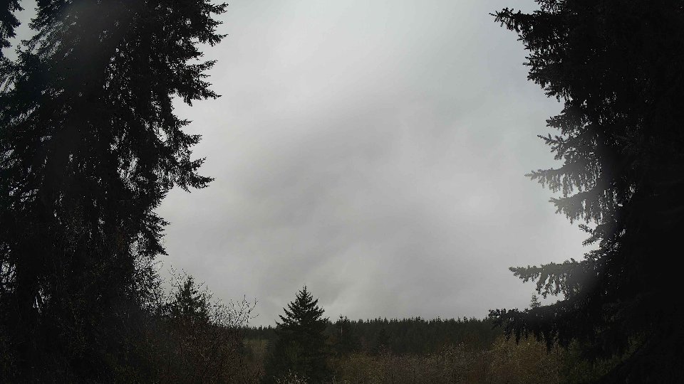
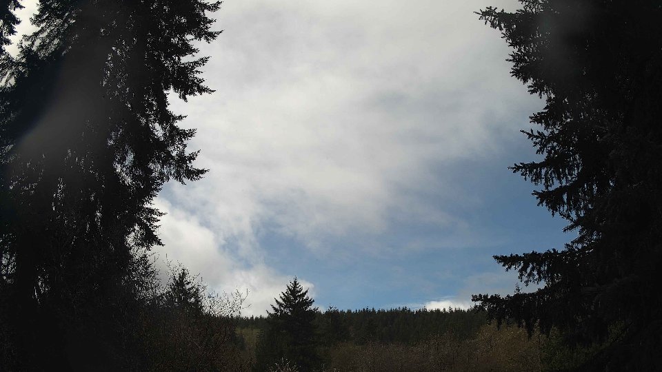
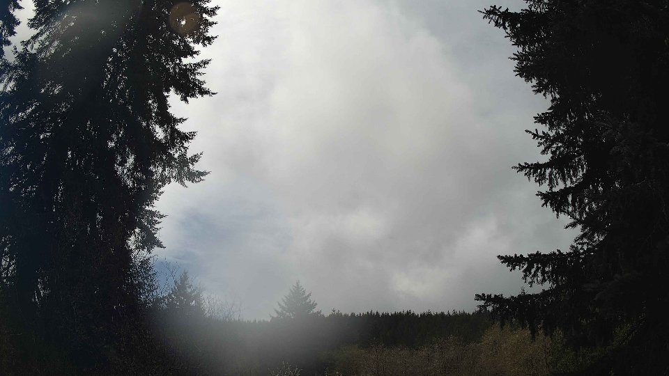
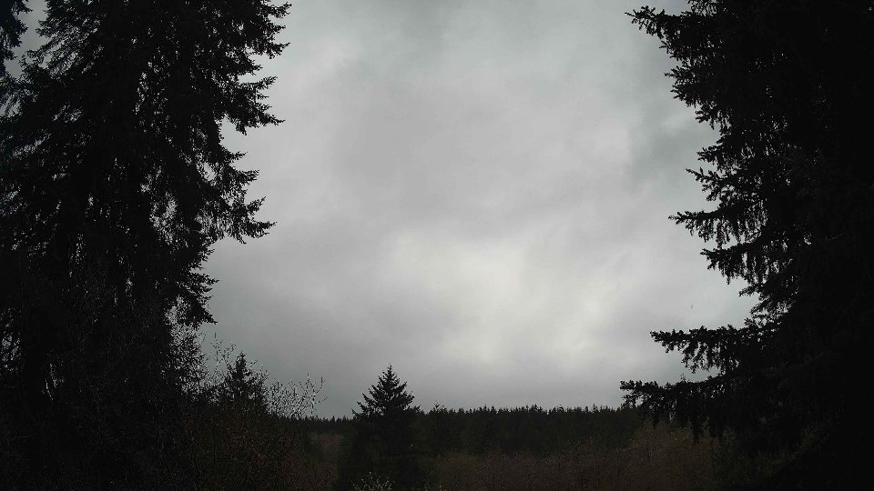
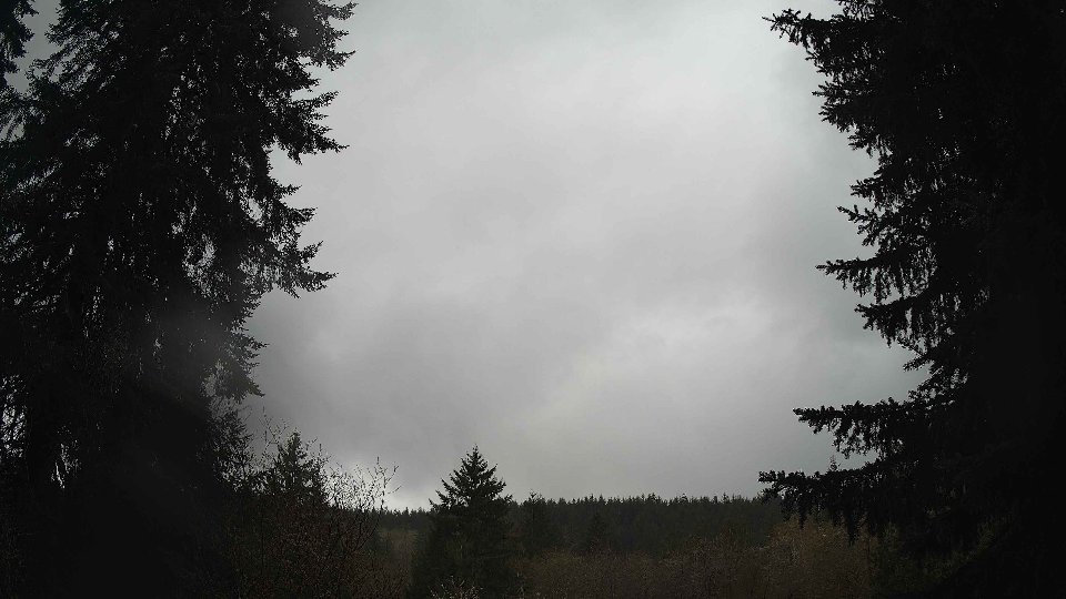
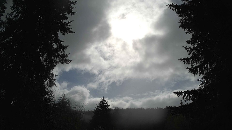
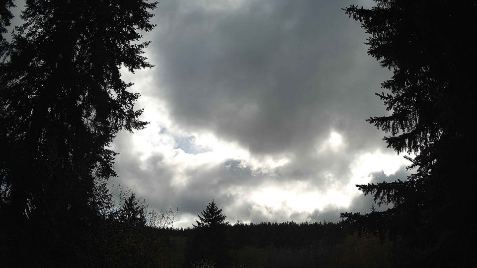
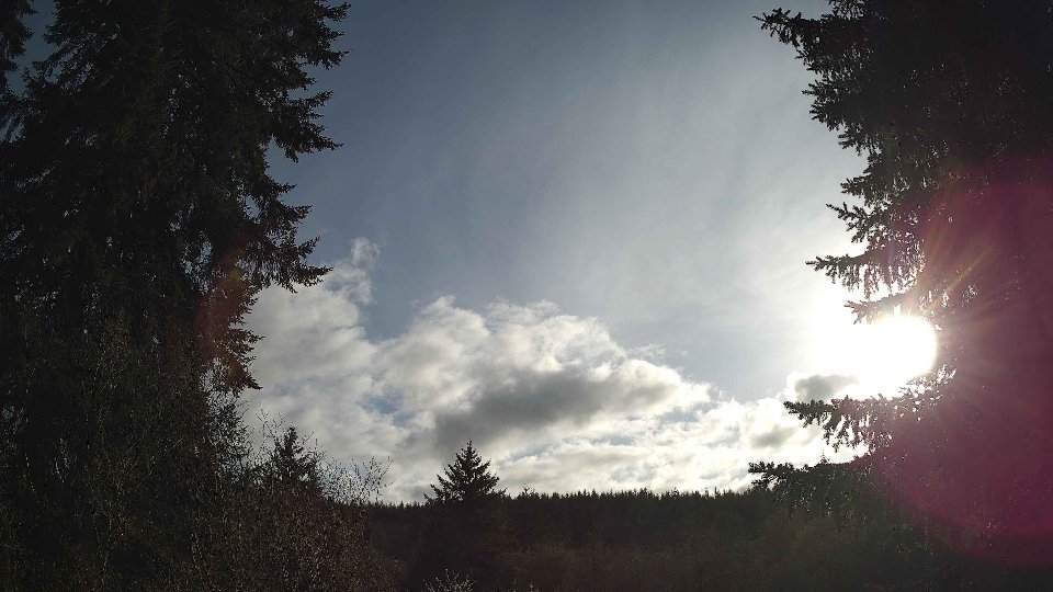
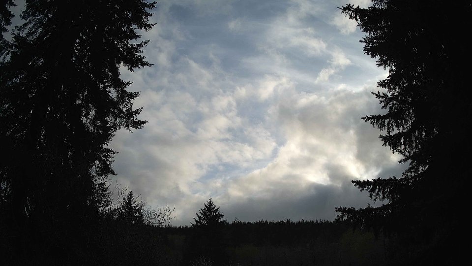
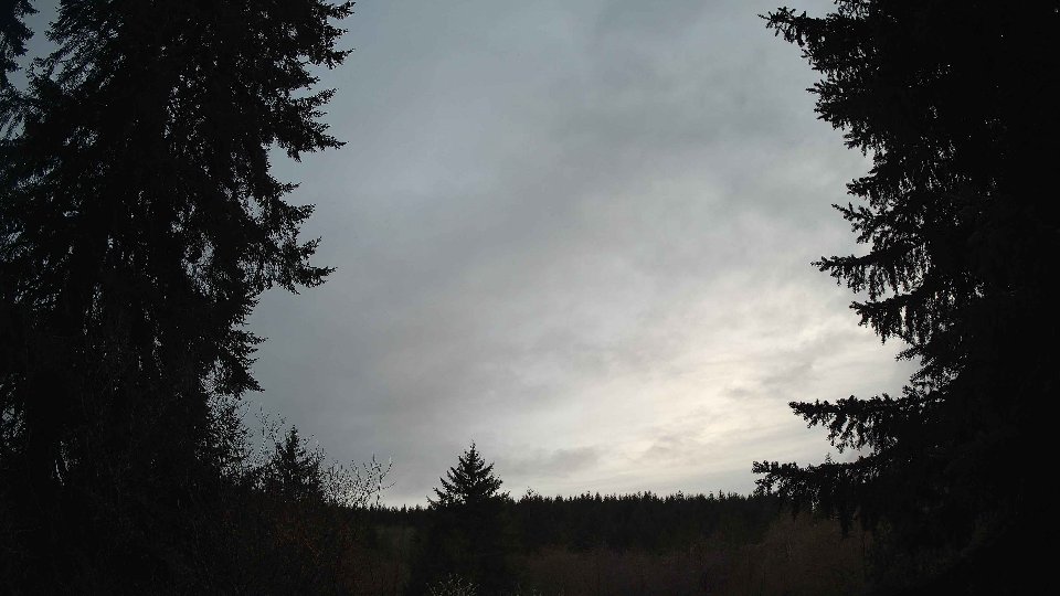
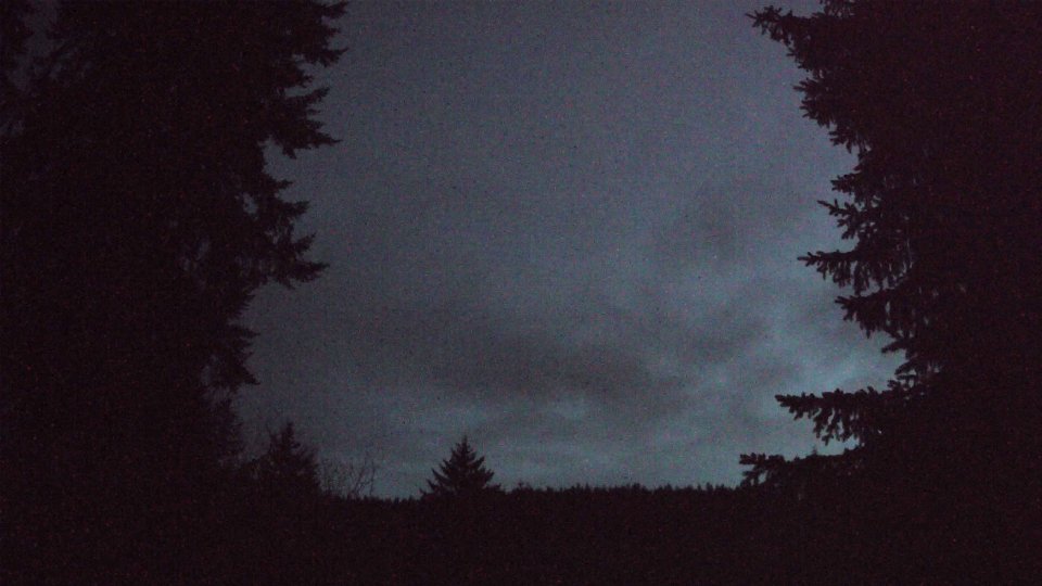
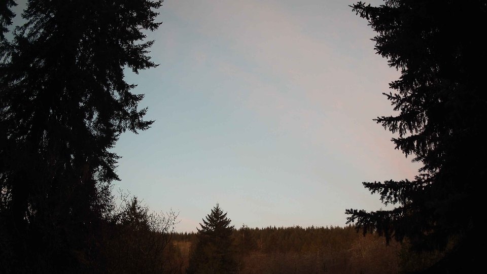
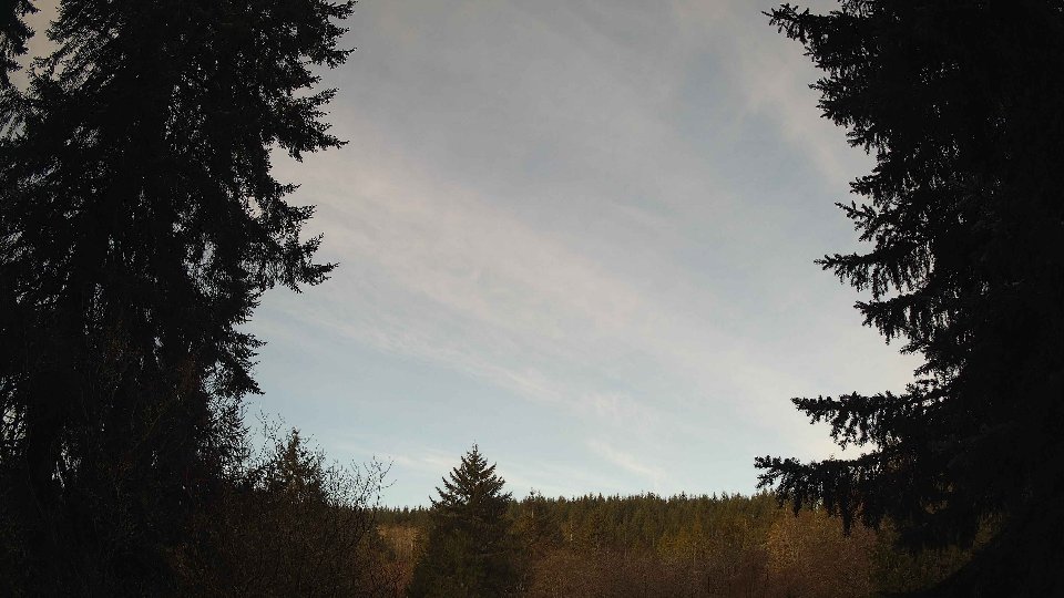
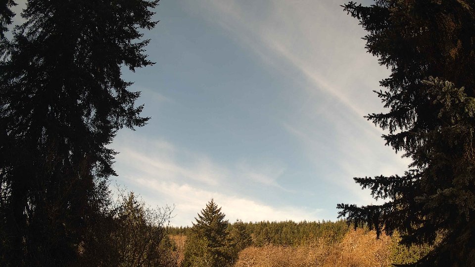
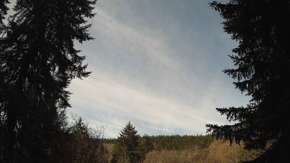
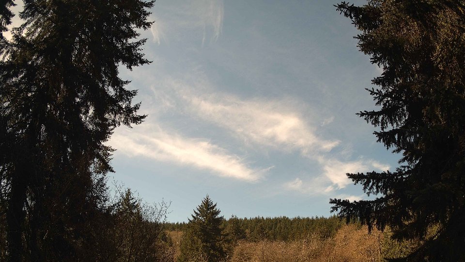
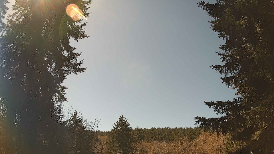
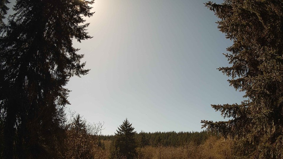
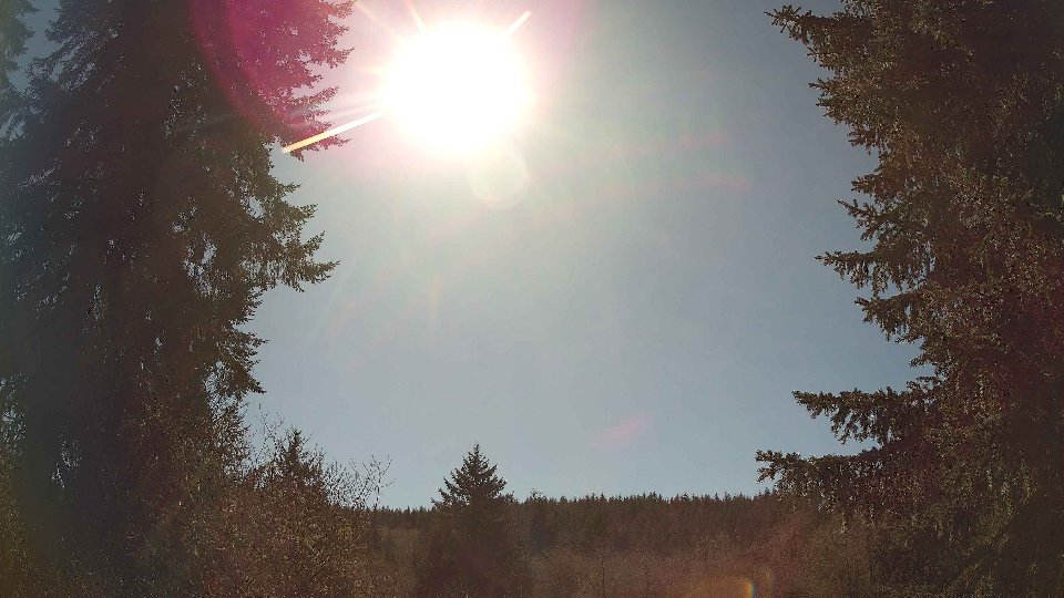
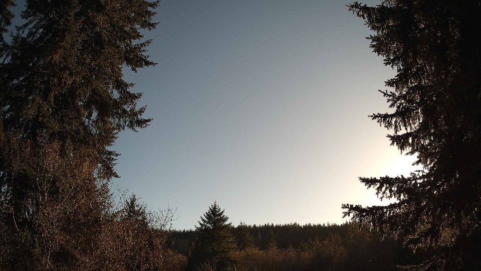
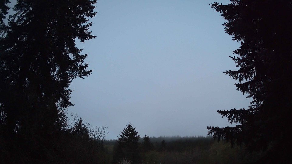
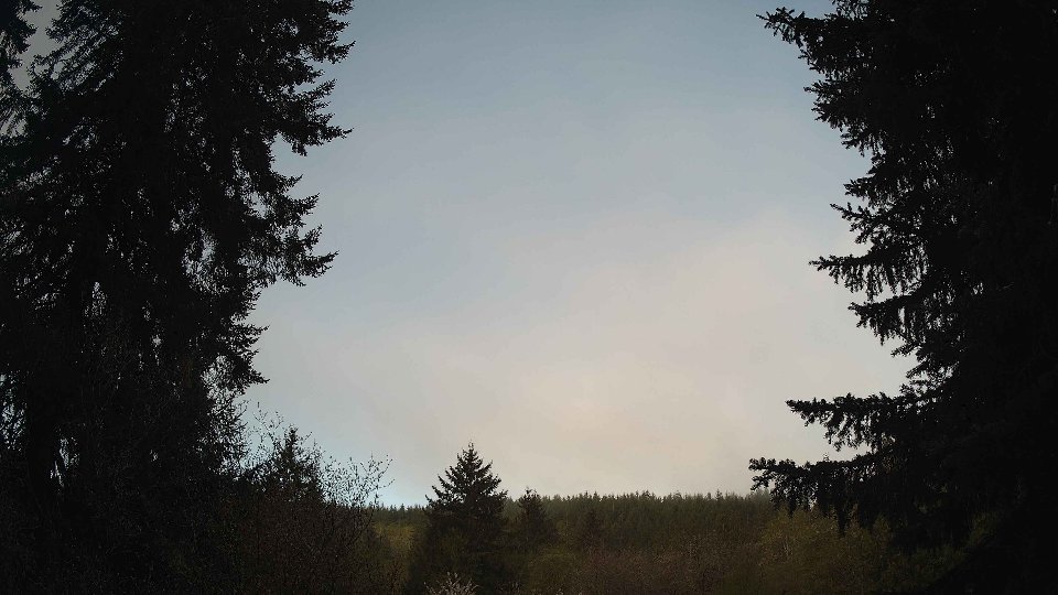
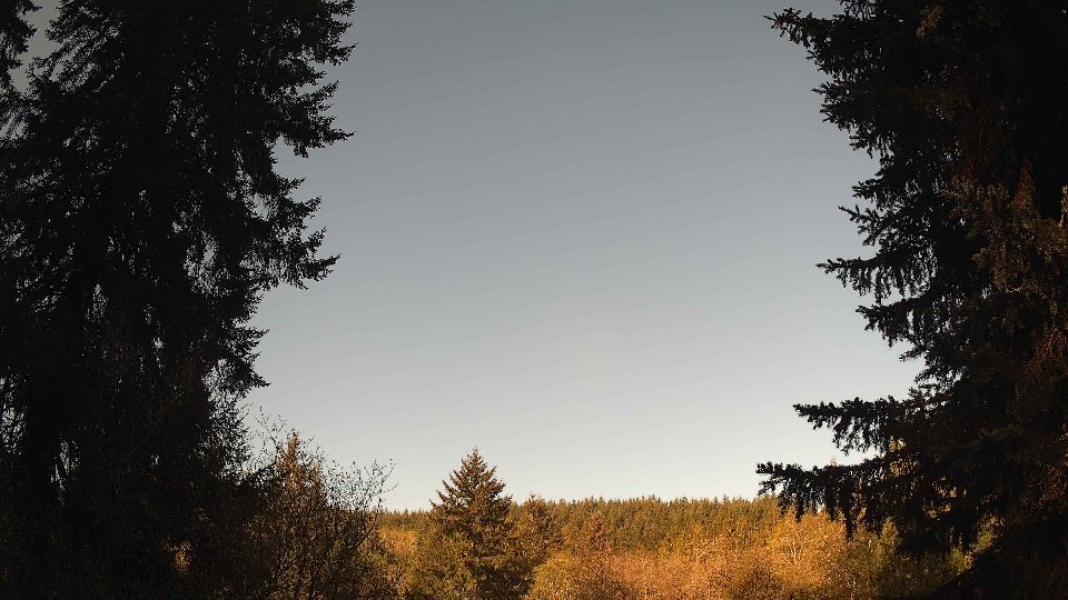
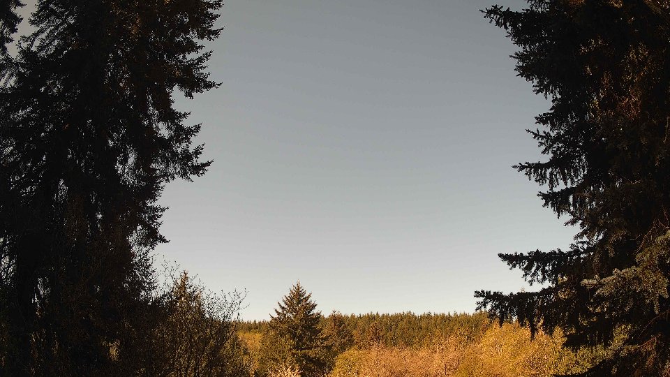
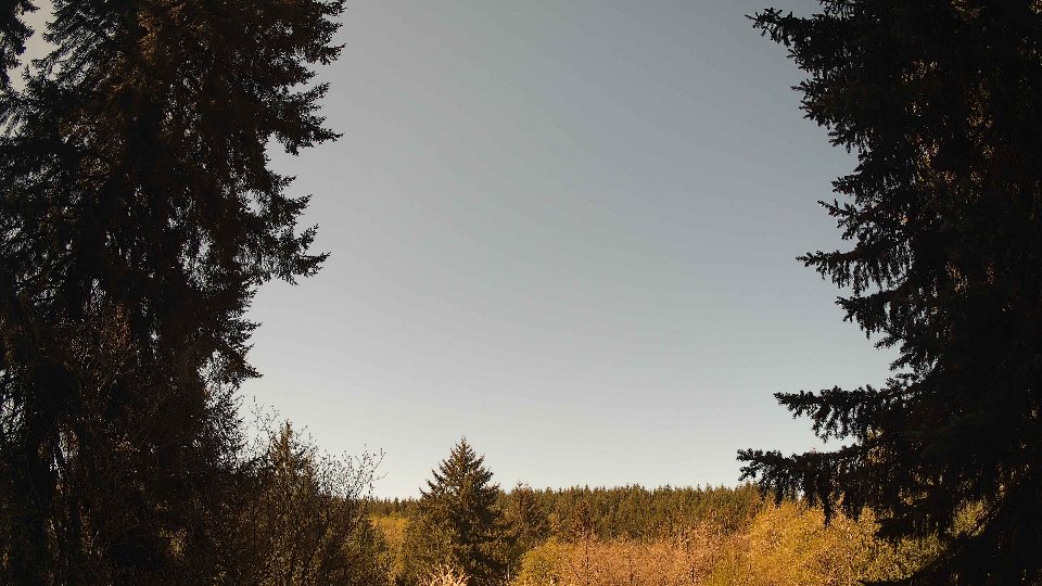
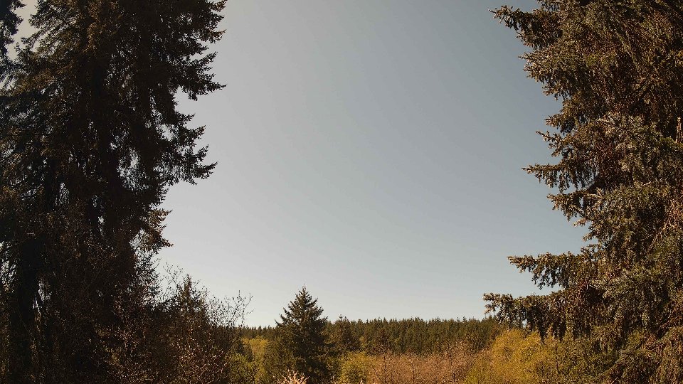
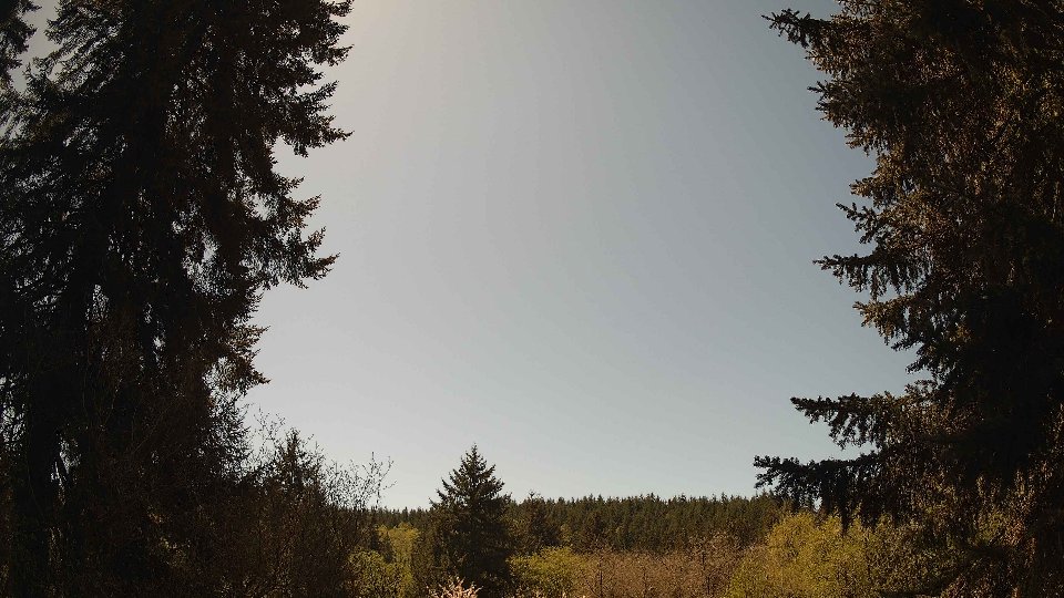
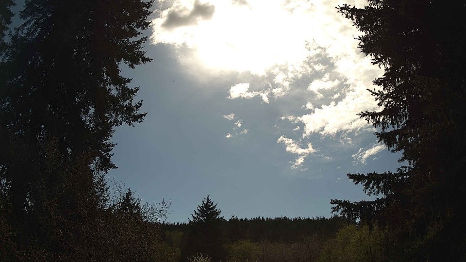
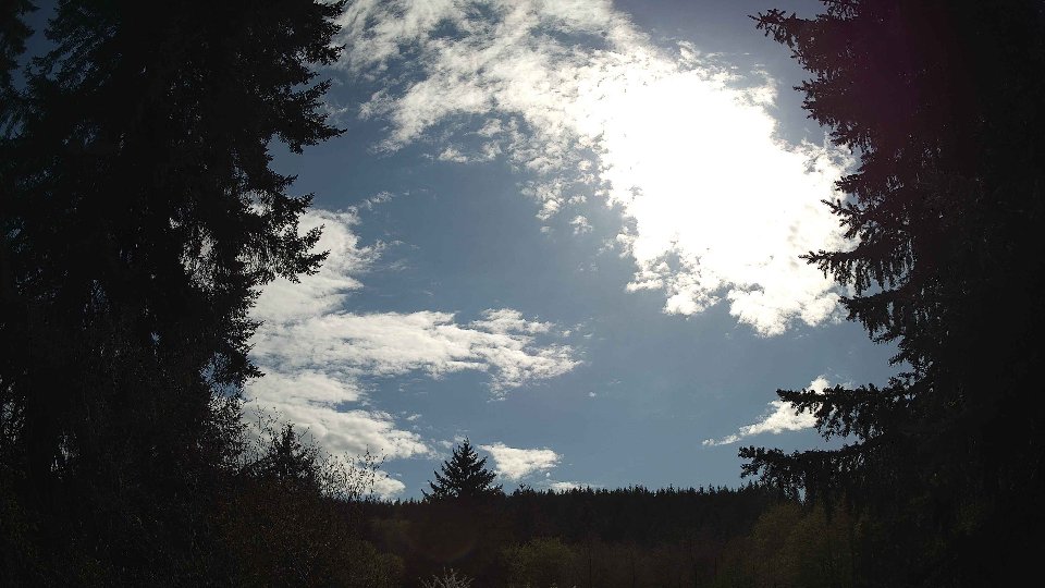
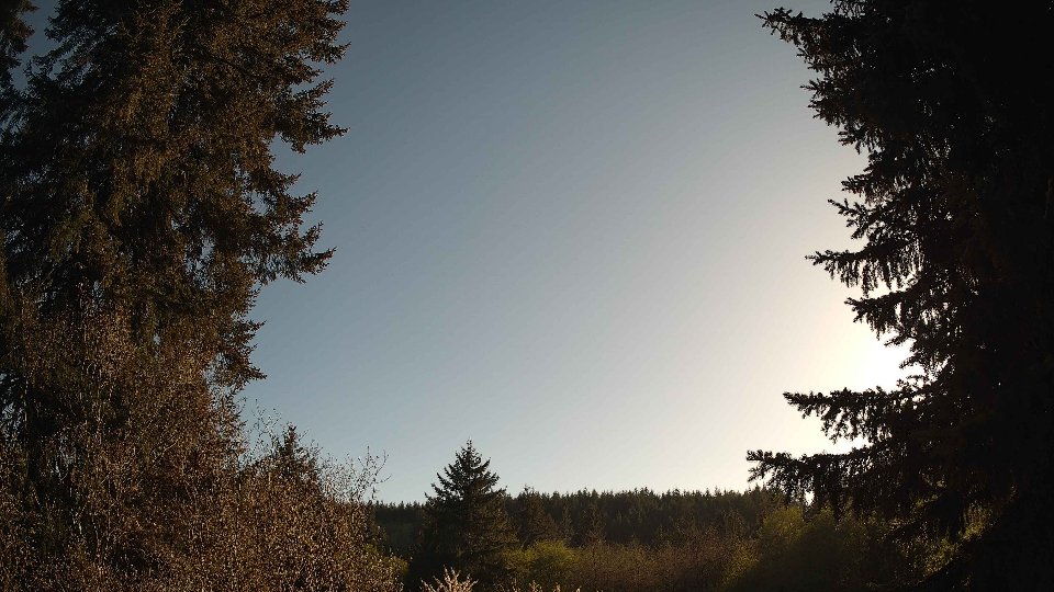
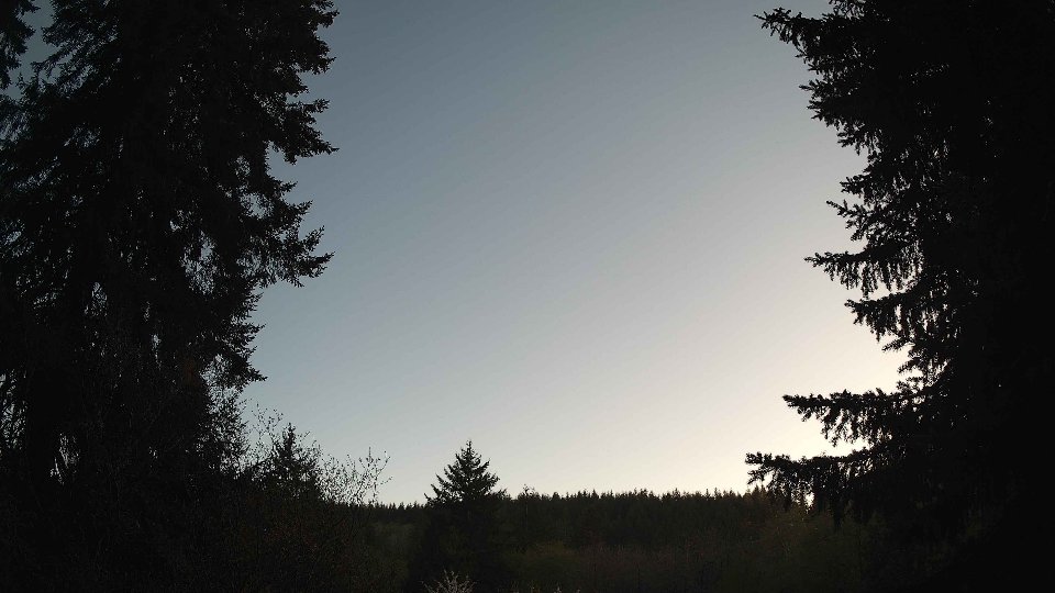
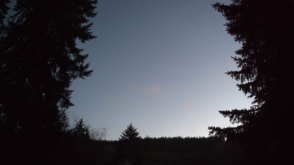
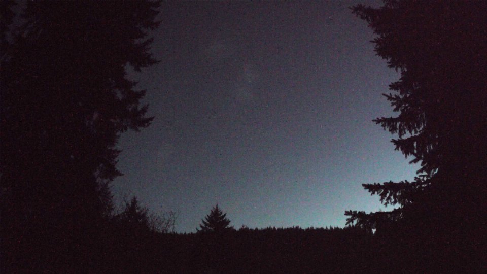
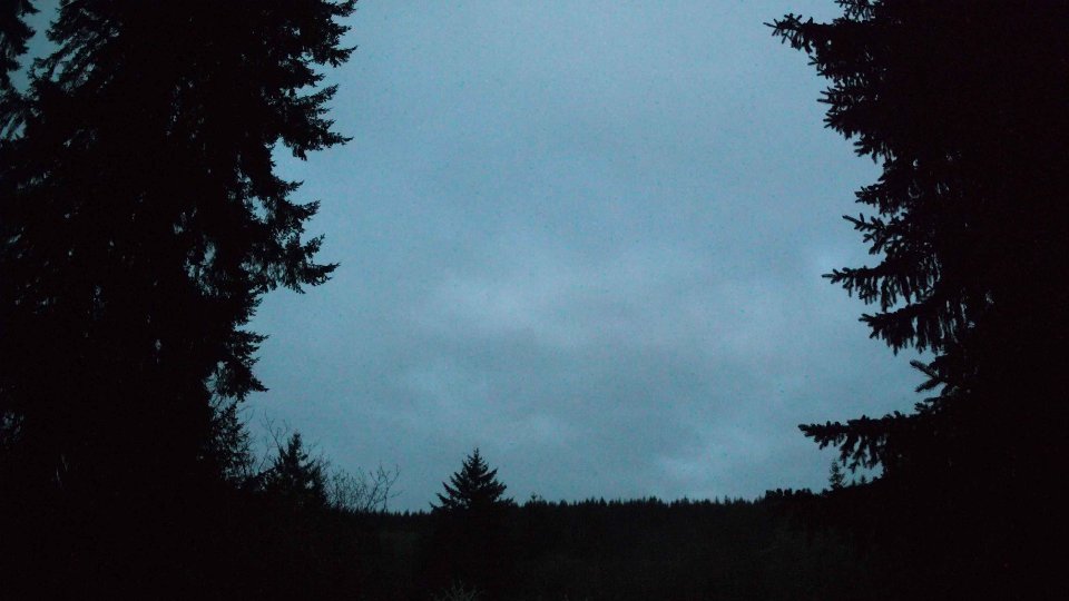
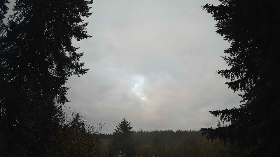
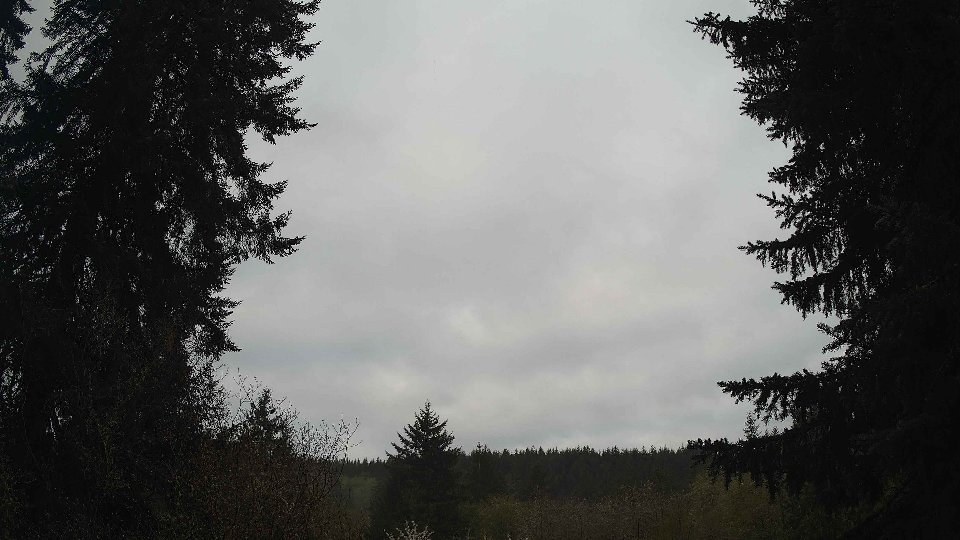
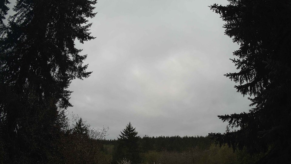
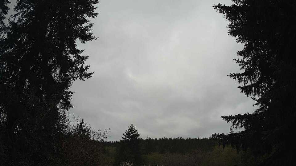
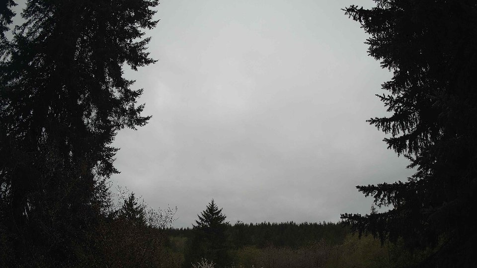
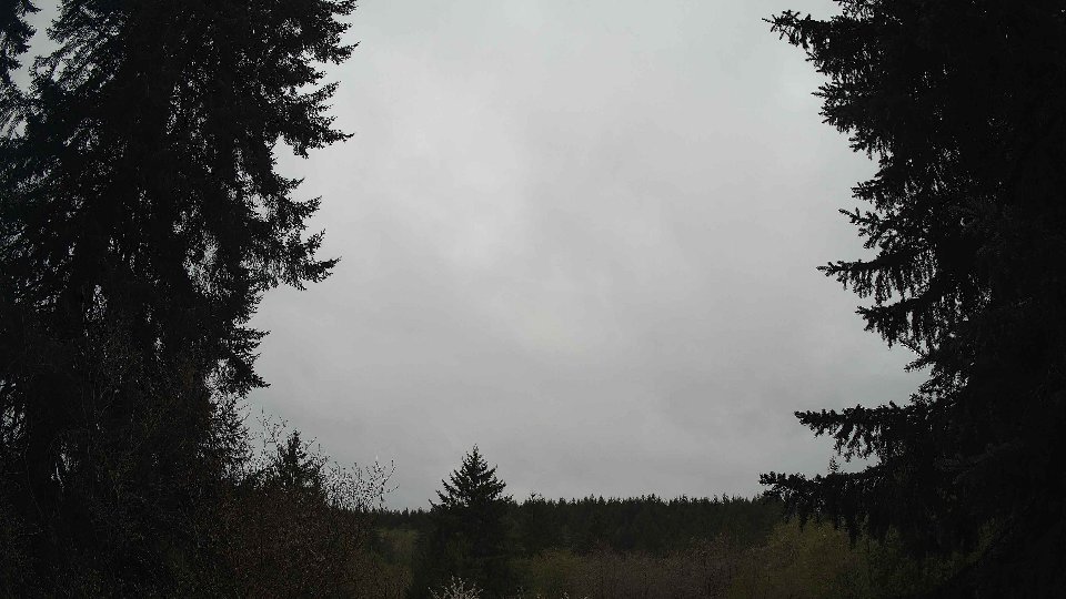
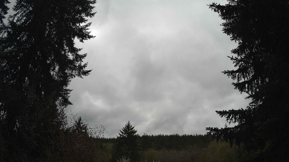
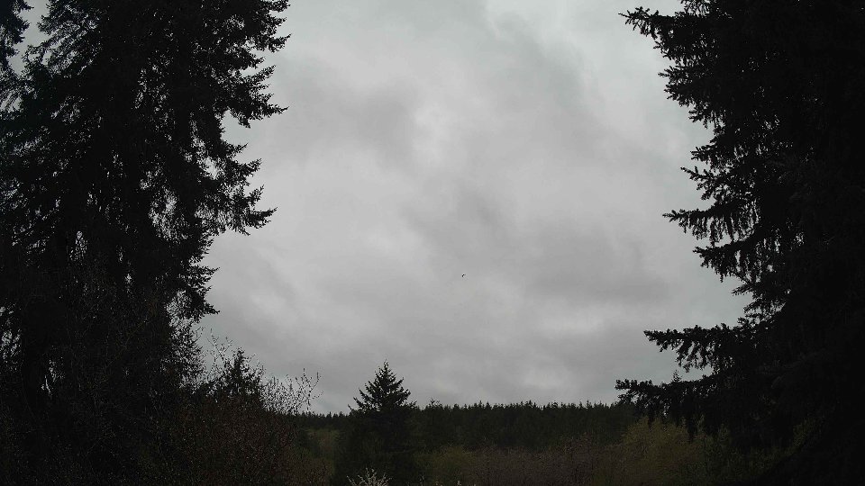
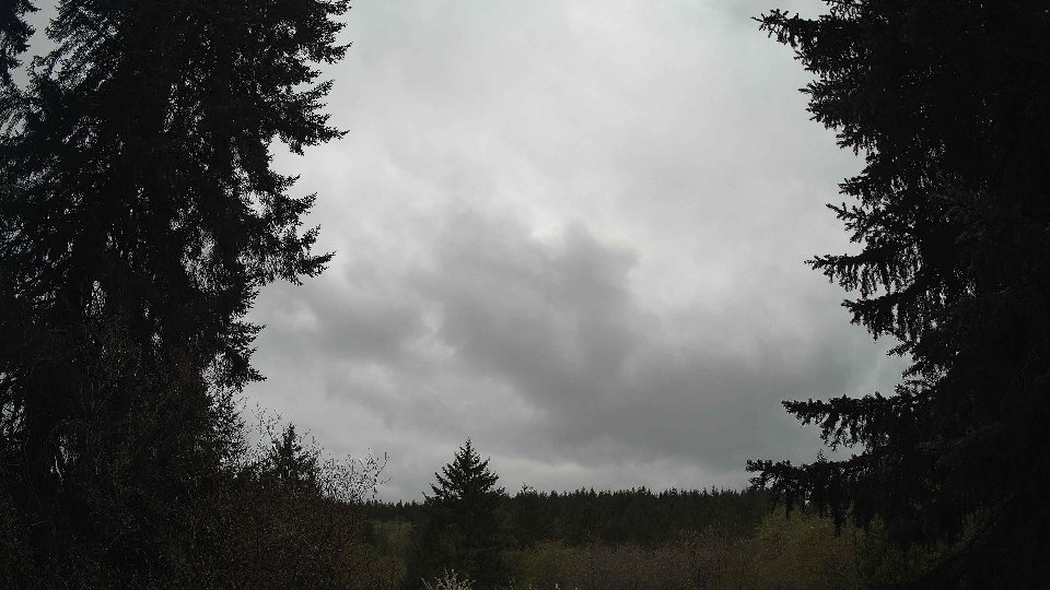
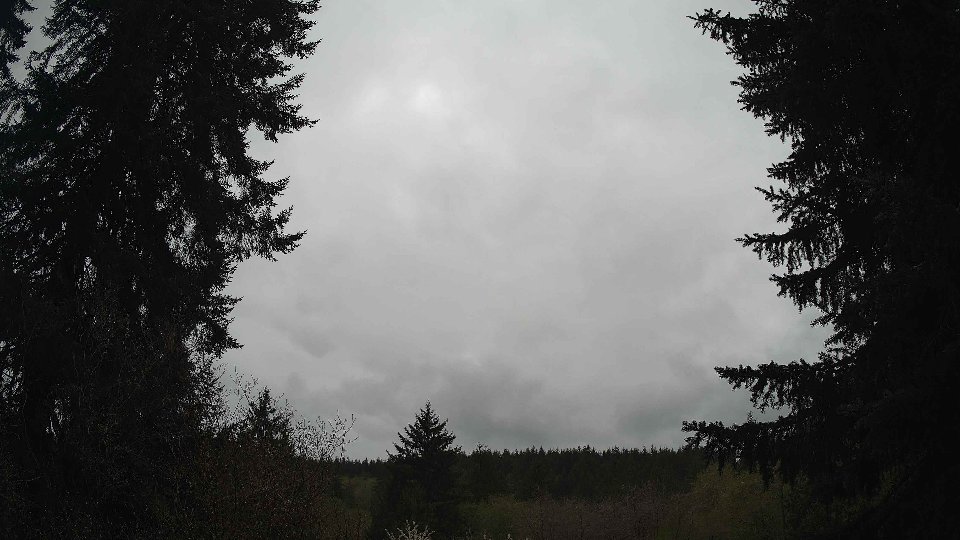
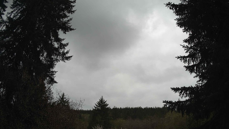
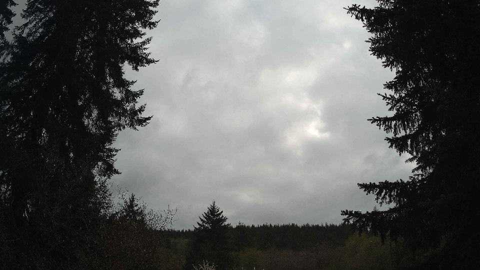
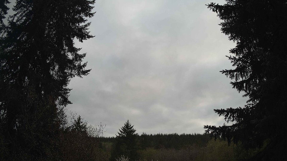
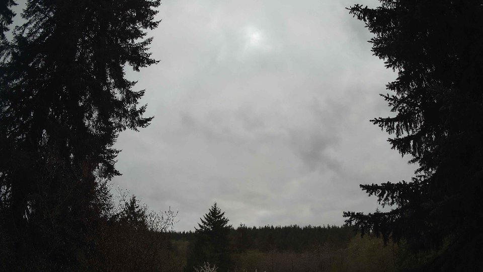
On April 20th, the day began under a blanket of clouds, with a dense overcast that revealed no low-level clouds but filled the sky with mid and high clouds at 81.6% and 100%, respectively. At ground level, the winds were gentle, averaging around 2.0 mph, while at the 100-meter mark, they picked up slightly to an average of 4.8 mph. This calm surface environment contributed to the nearly stagnant cloud cover, as the low winds enabled the rich, gray tapestry of clouds to hang low and heavy in the sky. The temperatures started off cool, averaging 50.6°F, which gave the day a brisk feel, though no precipitation fell initially. However, the lack of movement in the lower atmosphere belied the more dynamic wind activity occurring aloft, where a slight shift in wind direction was noted, indicating potential turbulence as the day progressed.
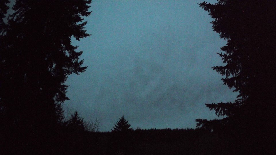
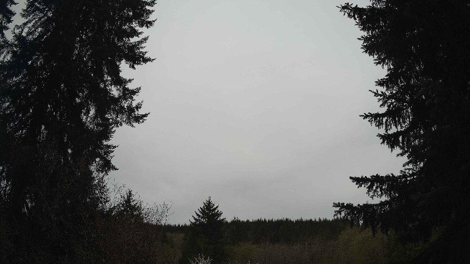
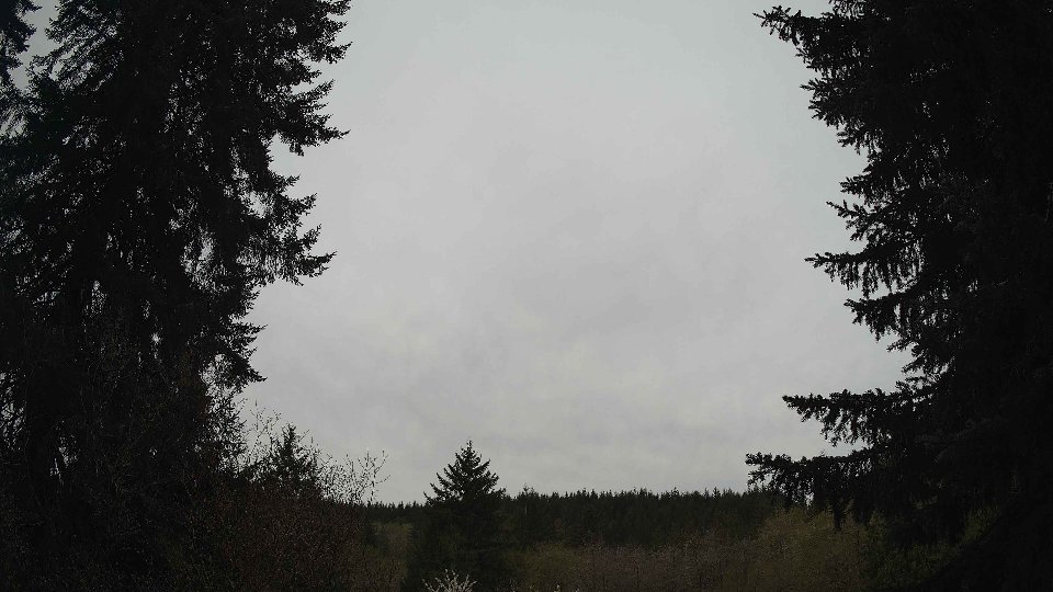
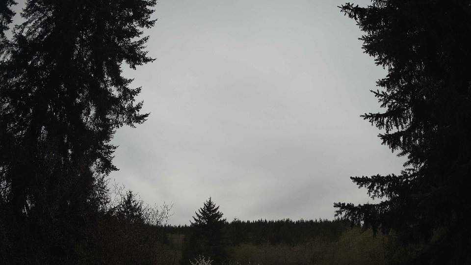
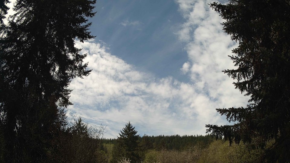
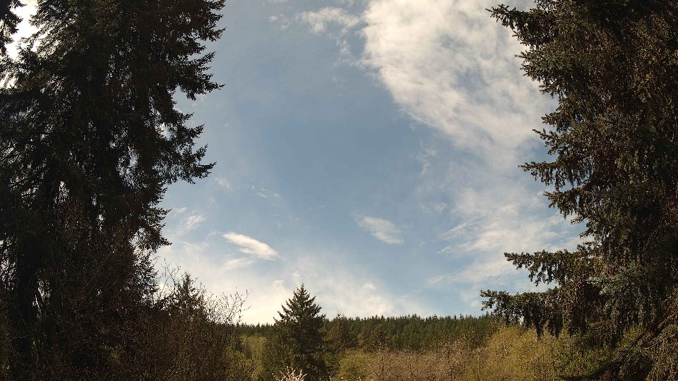
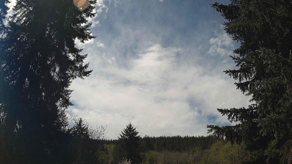
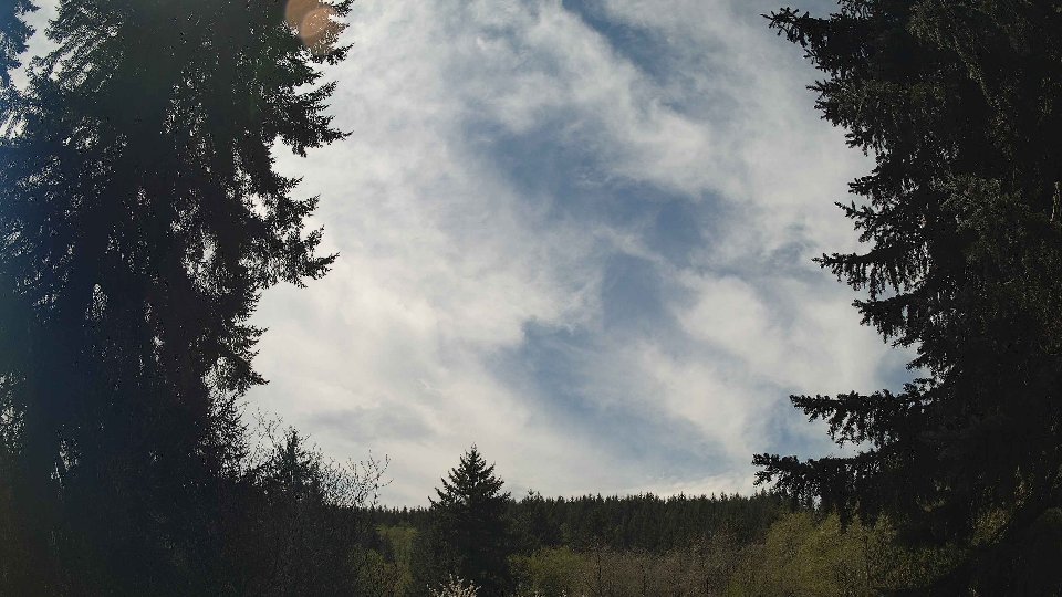
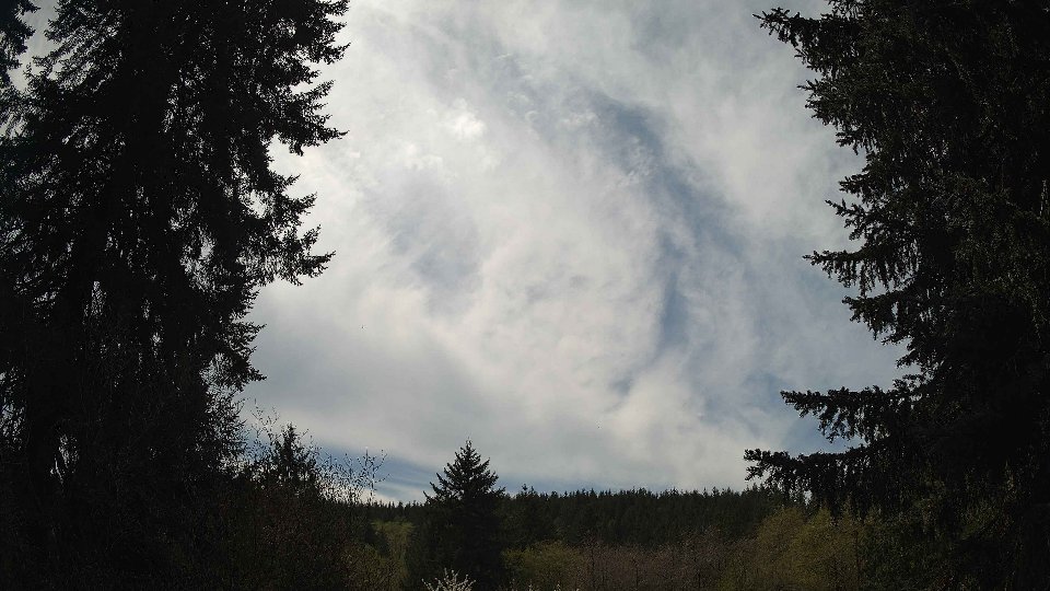
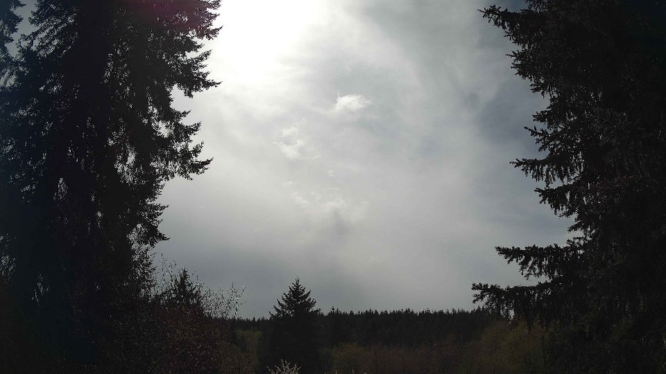
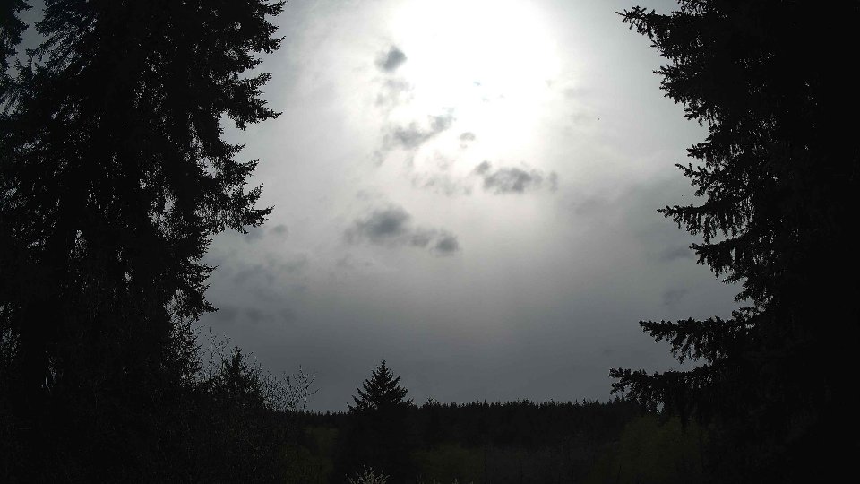
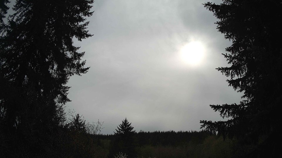
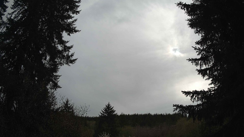
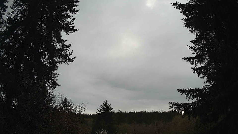
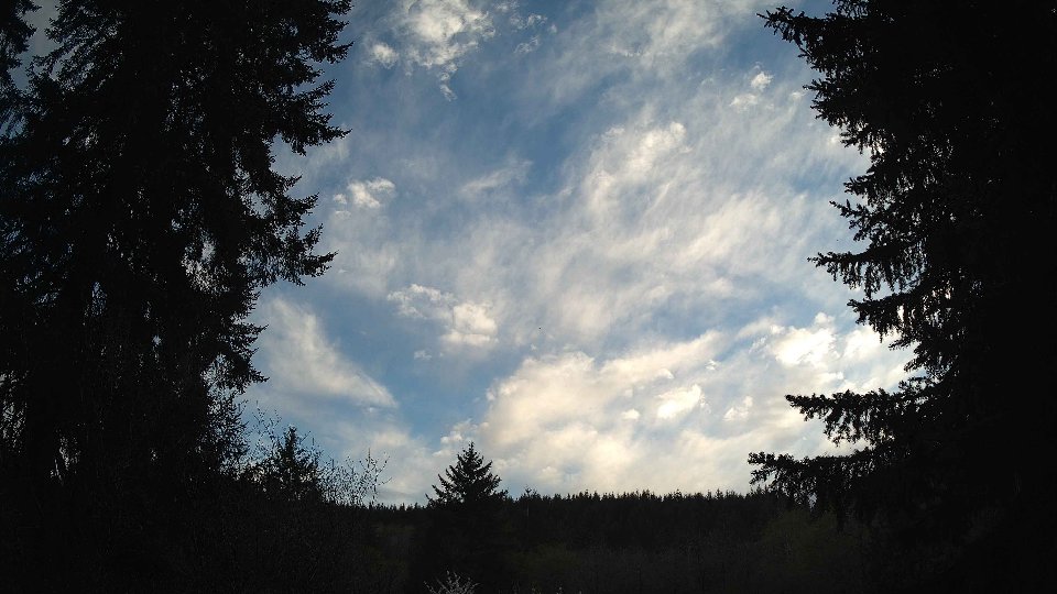
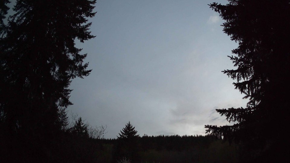
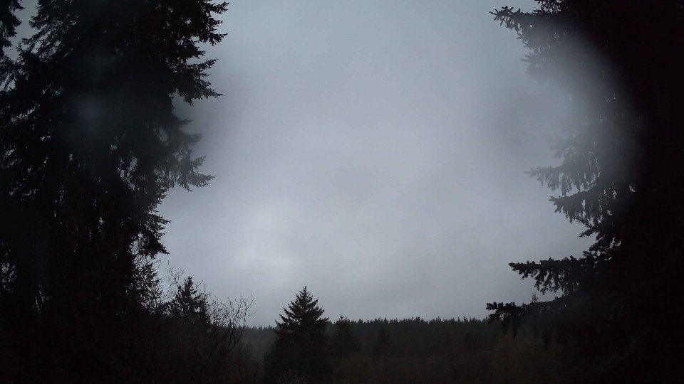
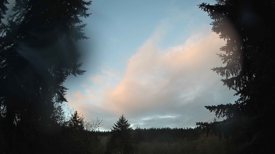
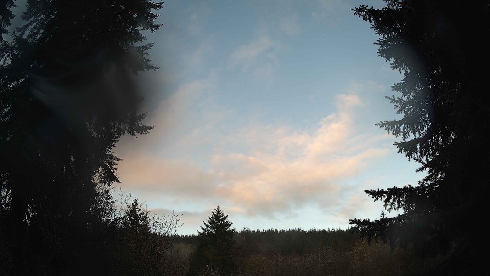
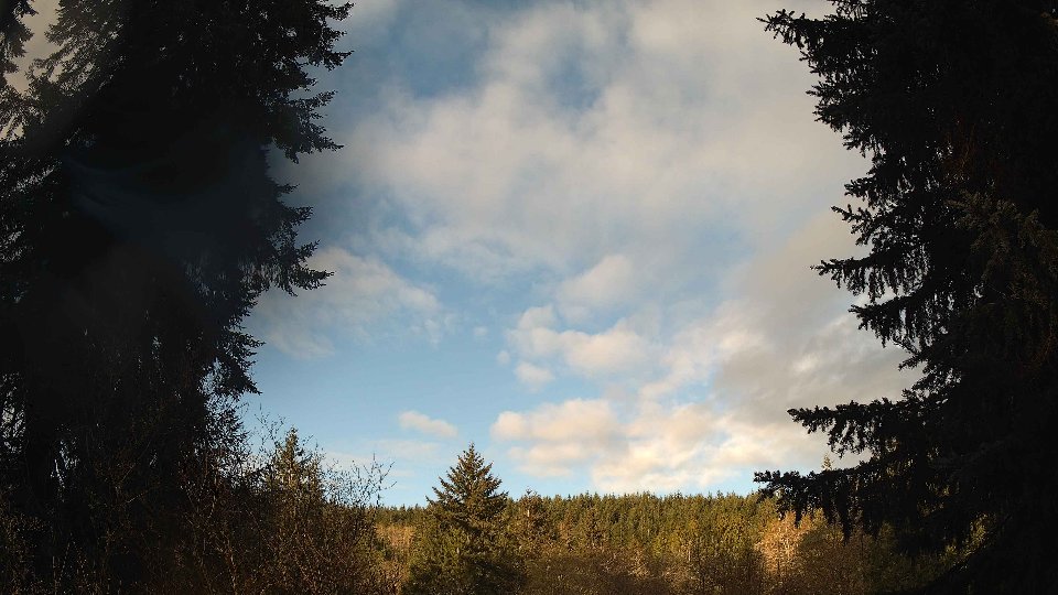
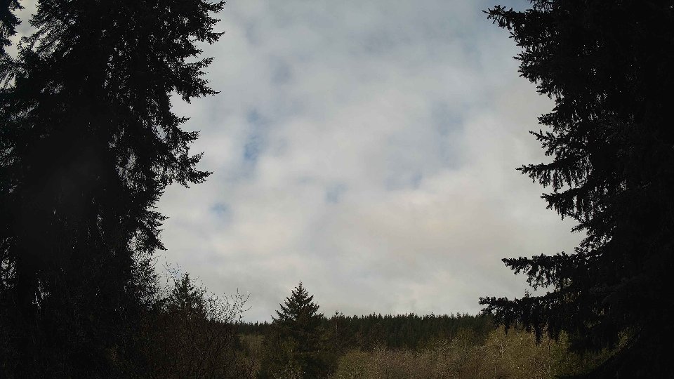
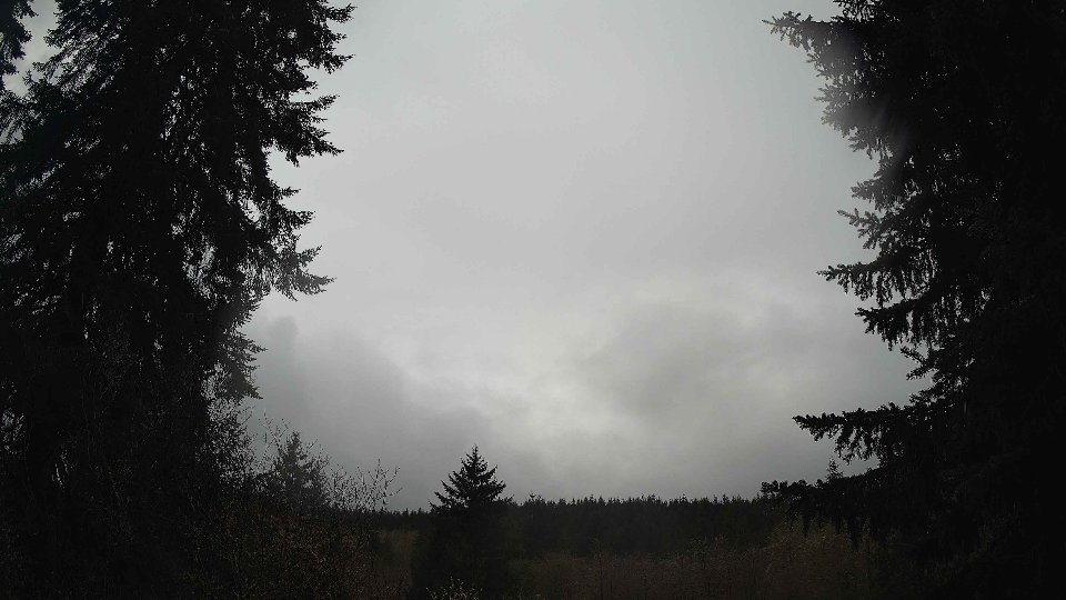
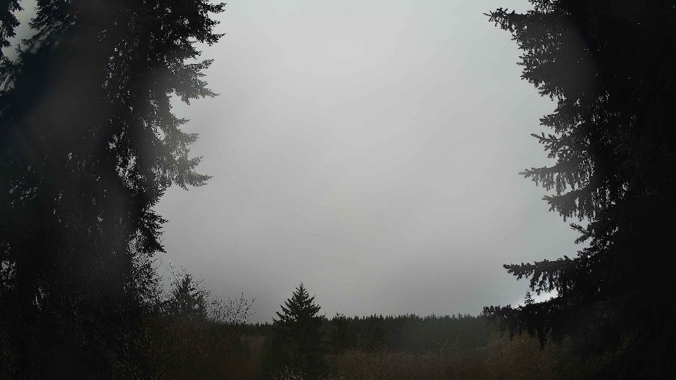
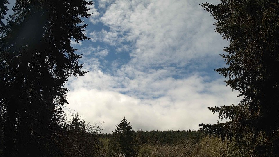
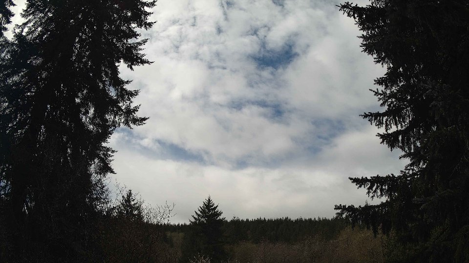
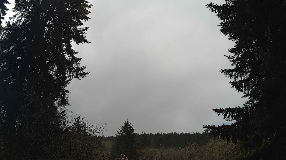
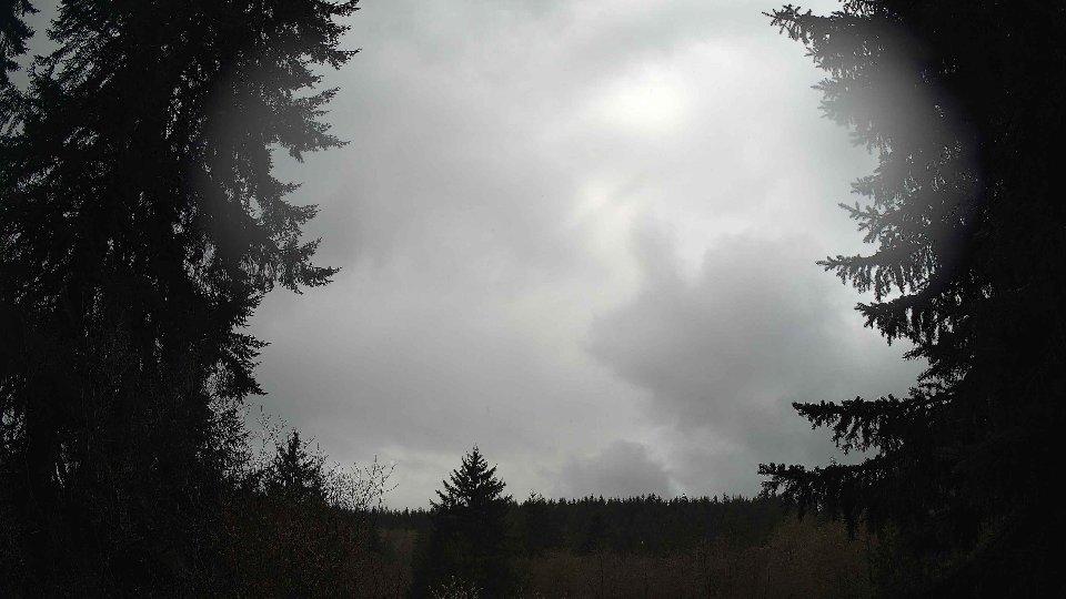
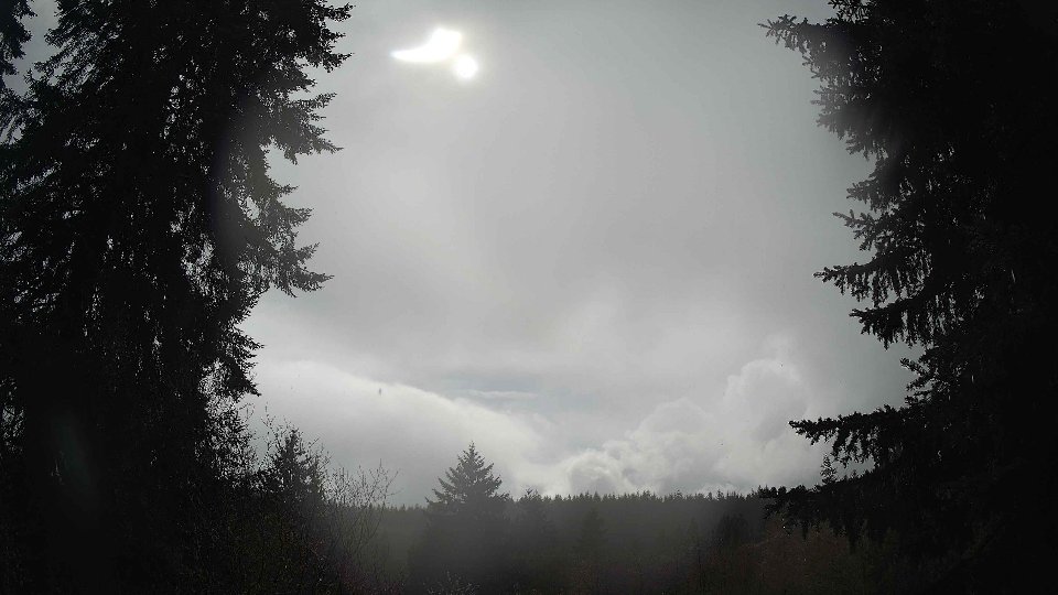
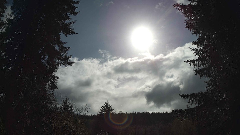
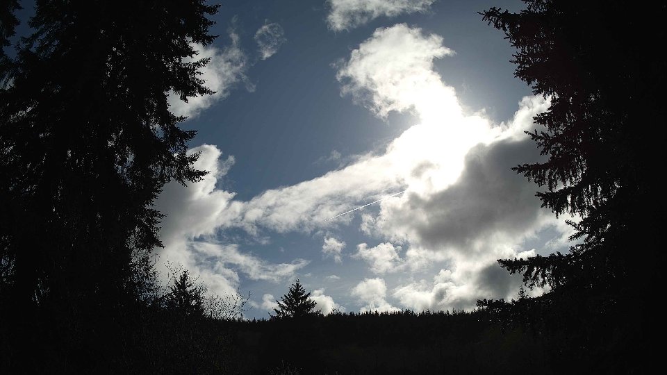
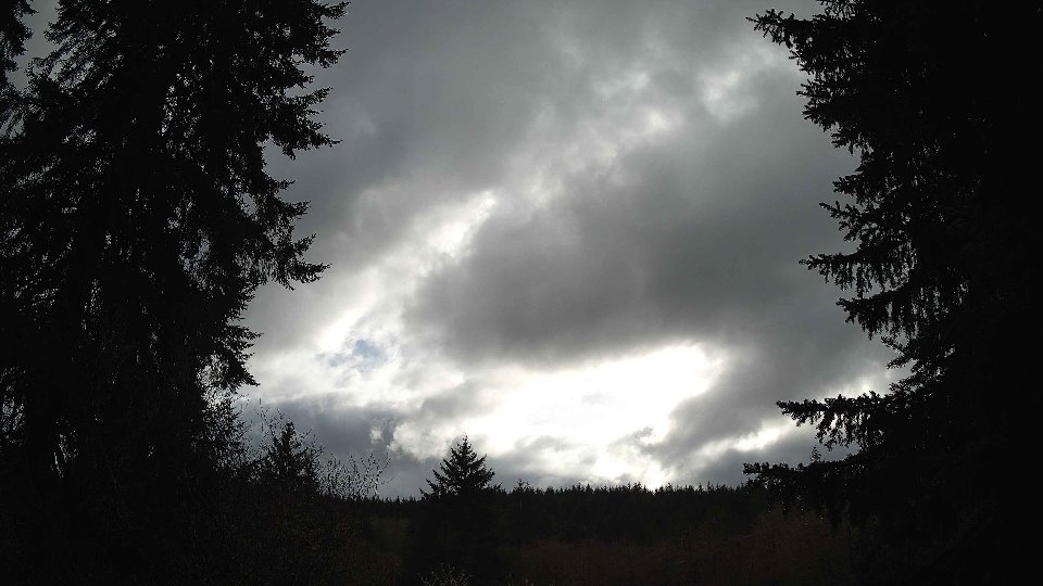
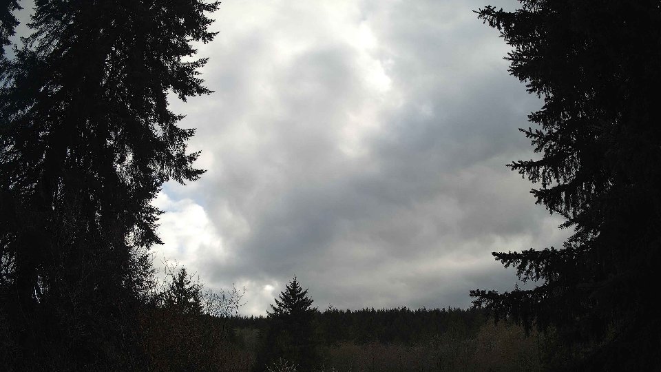
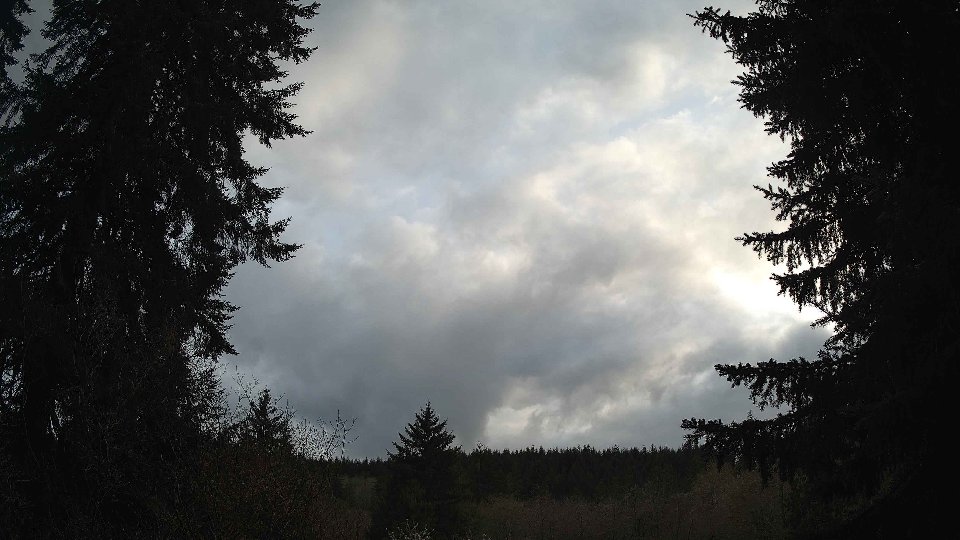
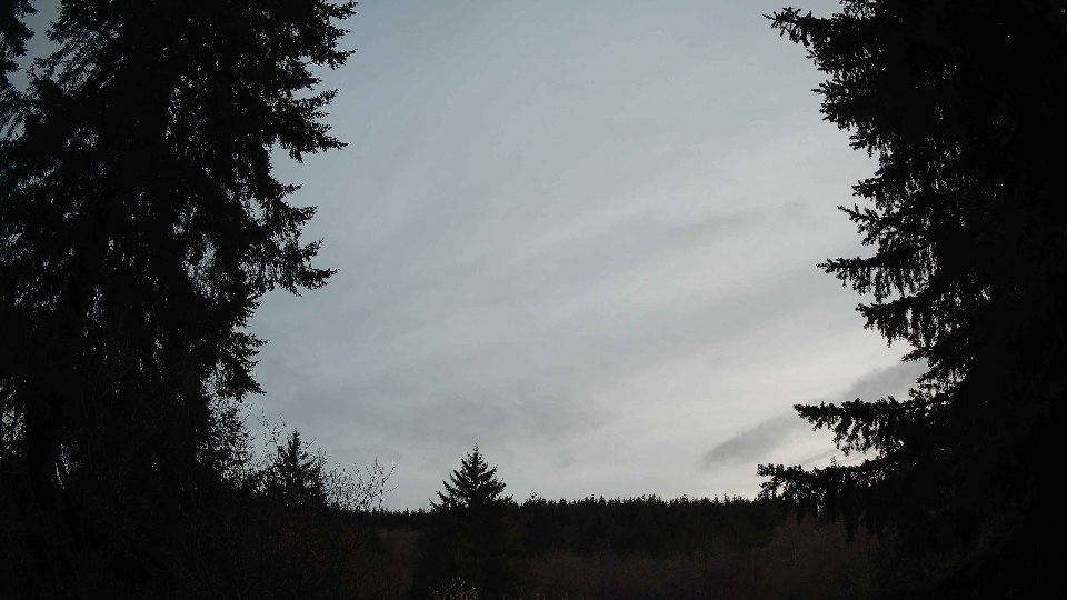
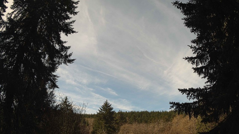
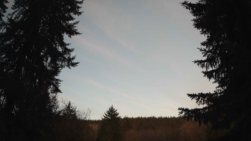
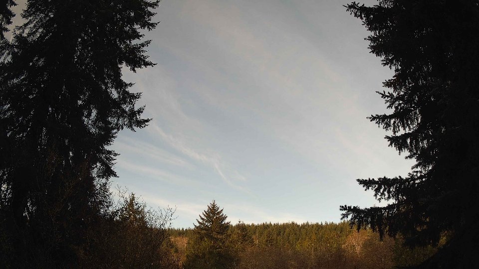
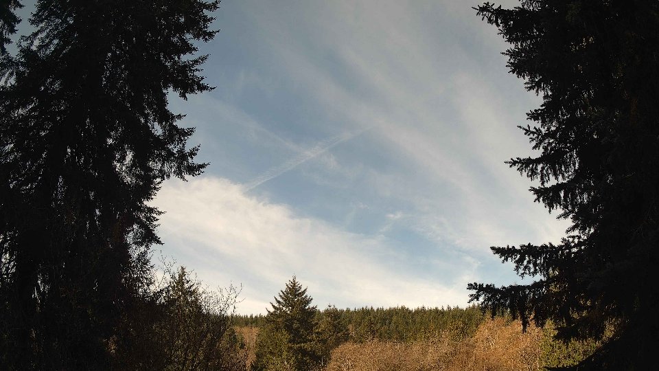
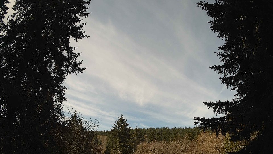
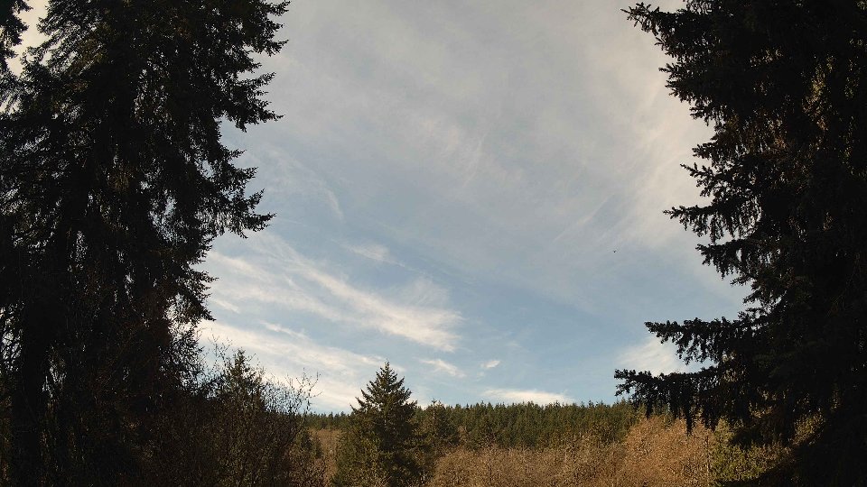
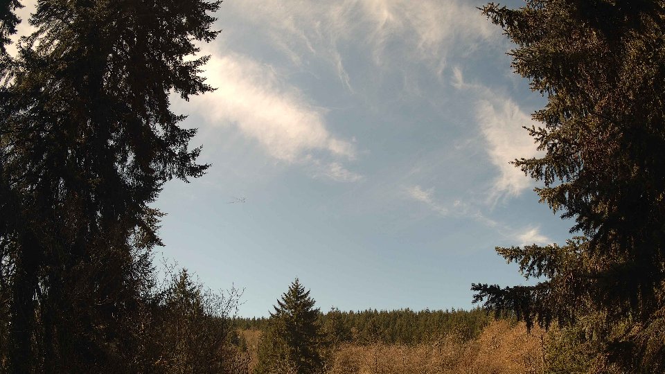
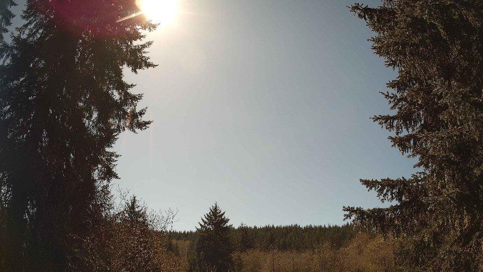
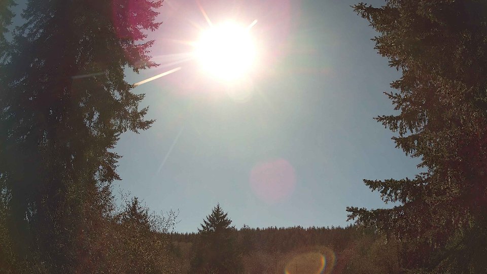
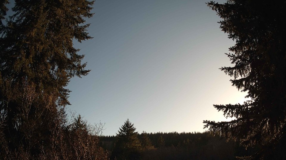
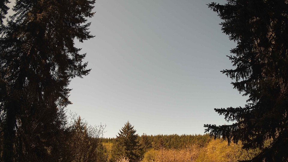
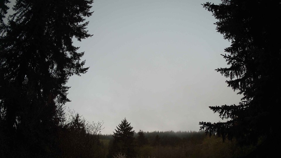
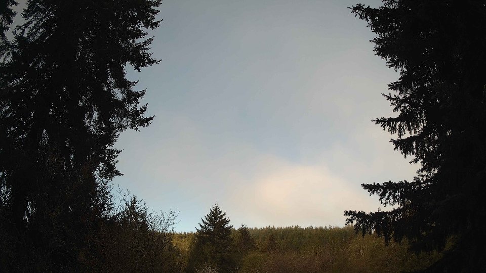
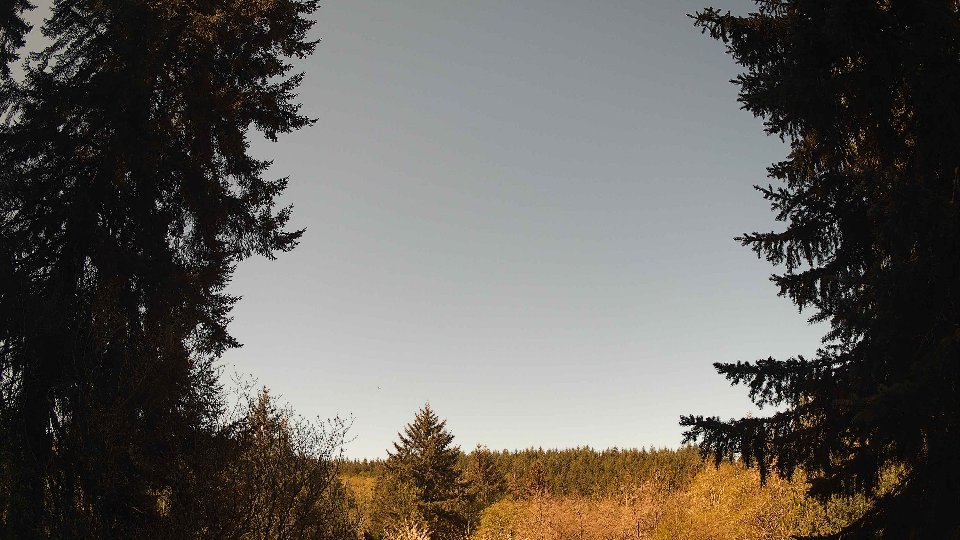
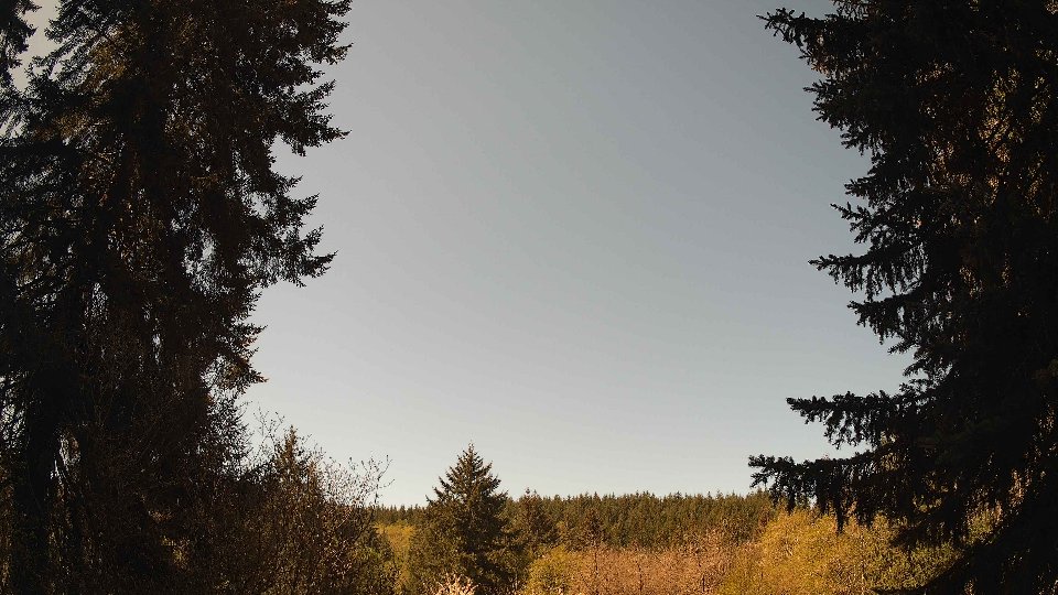
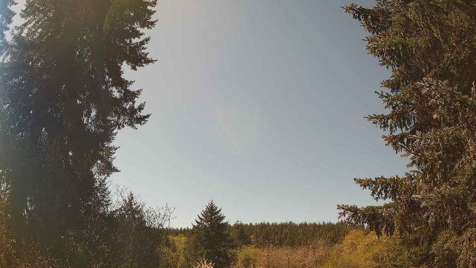
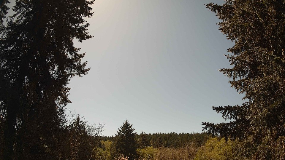
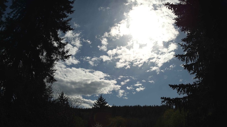
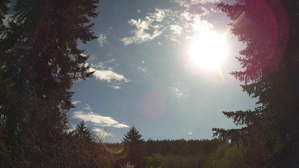
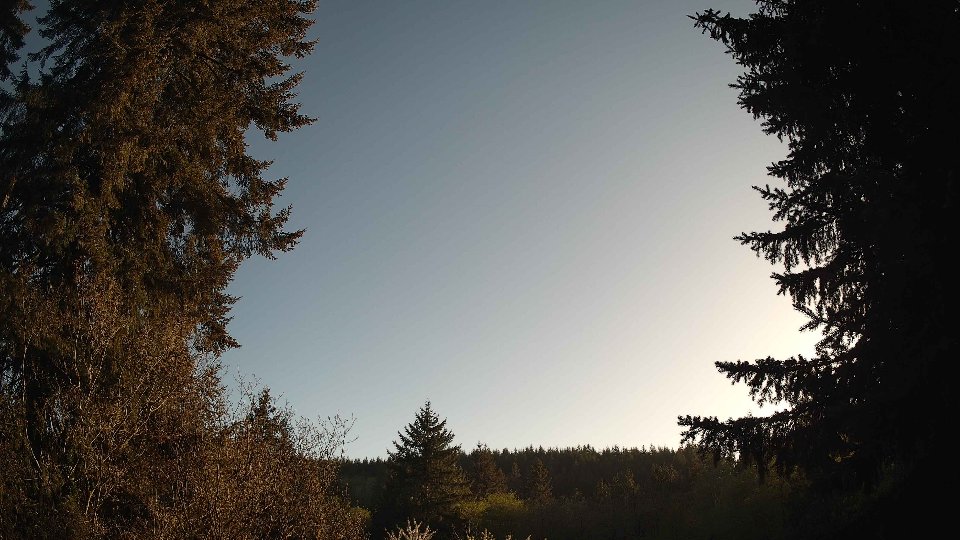
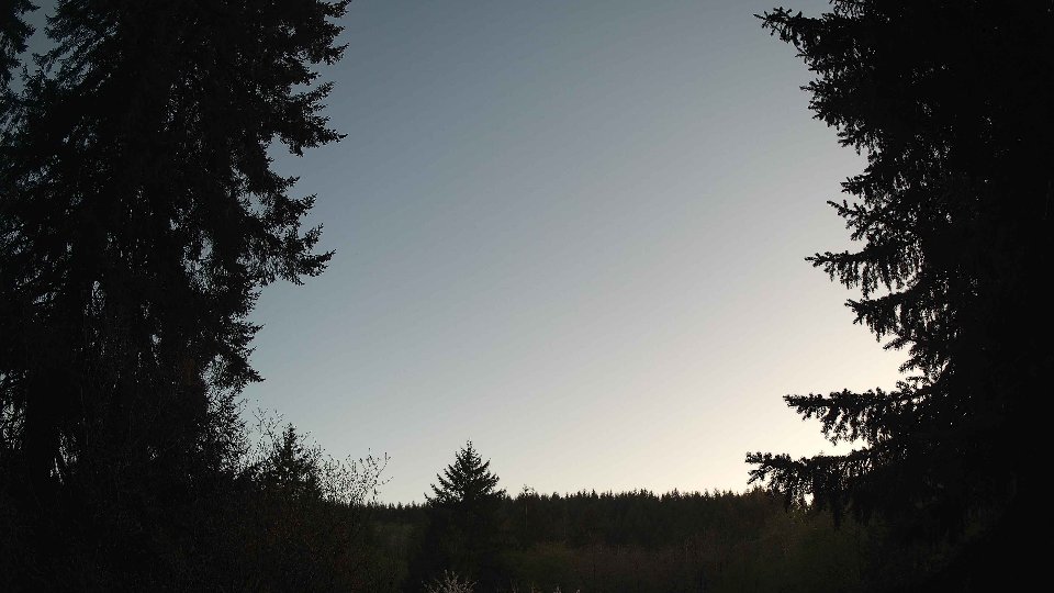
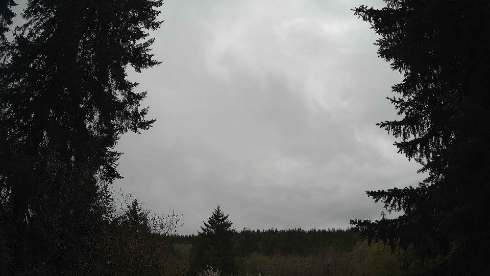
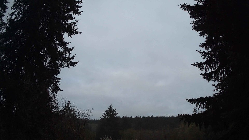
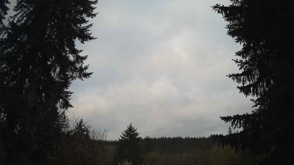
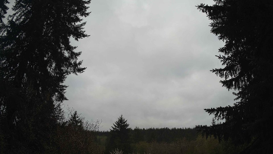
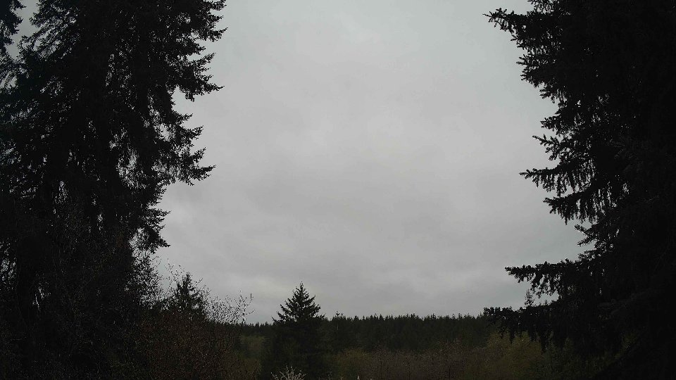
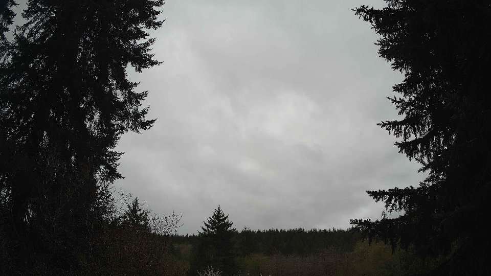
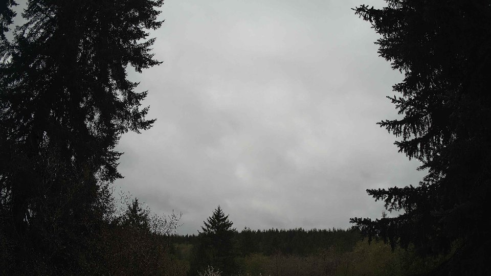
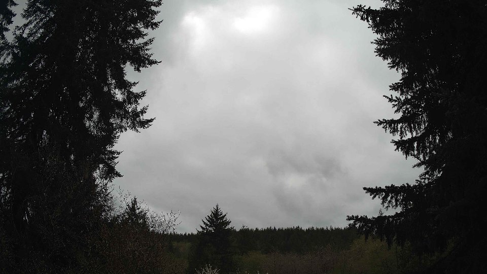
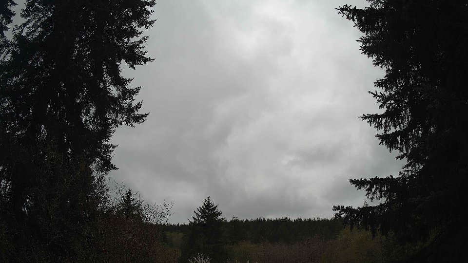
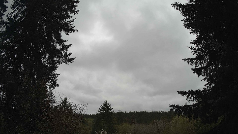
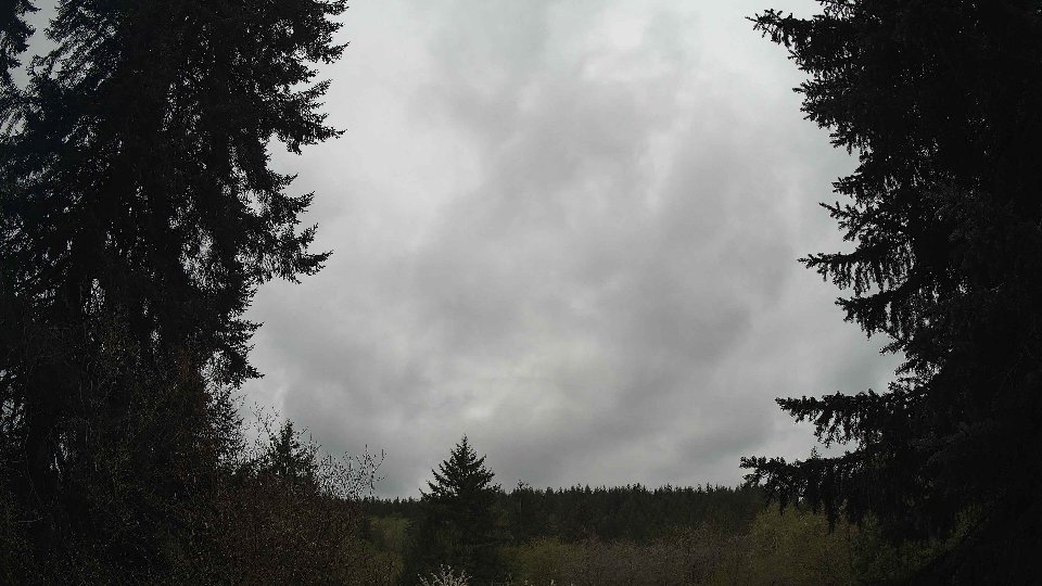
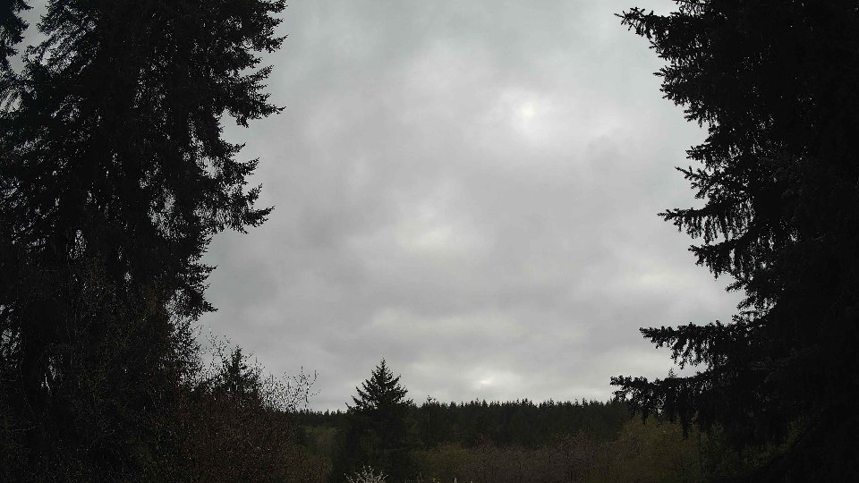
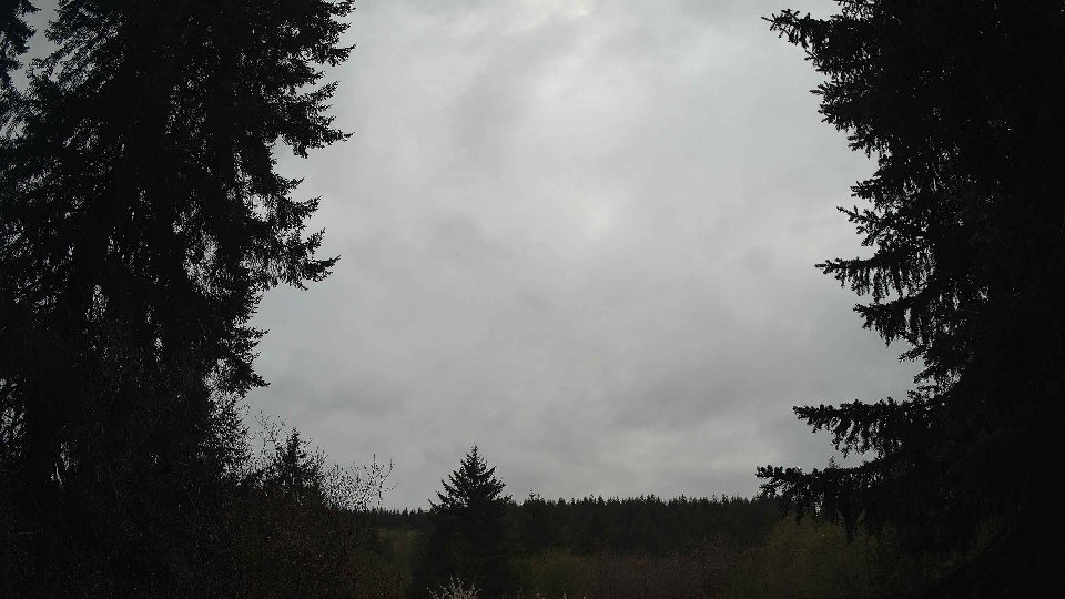
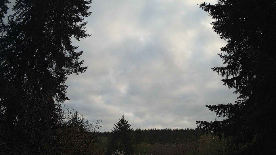
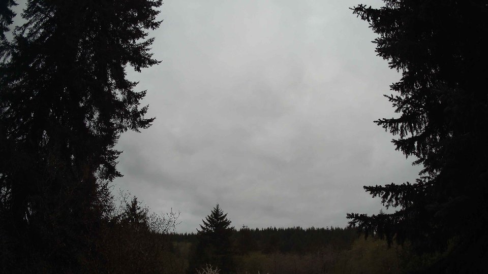
As midday approached, the atmosphere began to warm, bringing temperatures up to an average of 65.3°F. Winds at the surface increased slightly to an average of 2.8 mph, while the winds at 100 meters slowed to 3.6 mph, creating a strange contradiction where the air at different altitudes behaved differently. The cloud cover remained predominantly overcast at 99.8%, but the mid-layer clouds started to thin out, with their coverage dropping to 67.8%. High clouds also showed signs of movement, with their density reduced to 76.8%. The subtle shifts in wind direction at the surface—now blowing slightly more from the east—caused the mid clouds to push in a westerly direction, creating a layered effect that painted an interesting visual on the sky. This was compounded by the wind shear phenomenon as the higher winds conflicted slightly with the slower moving surface winds, causing a gentle turbulence that stirred the clouds without much disturbance.
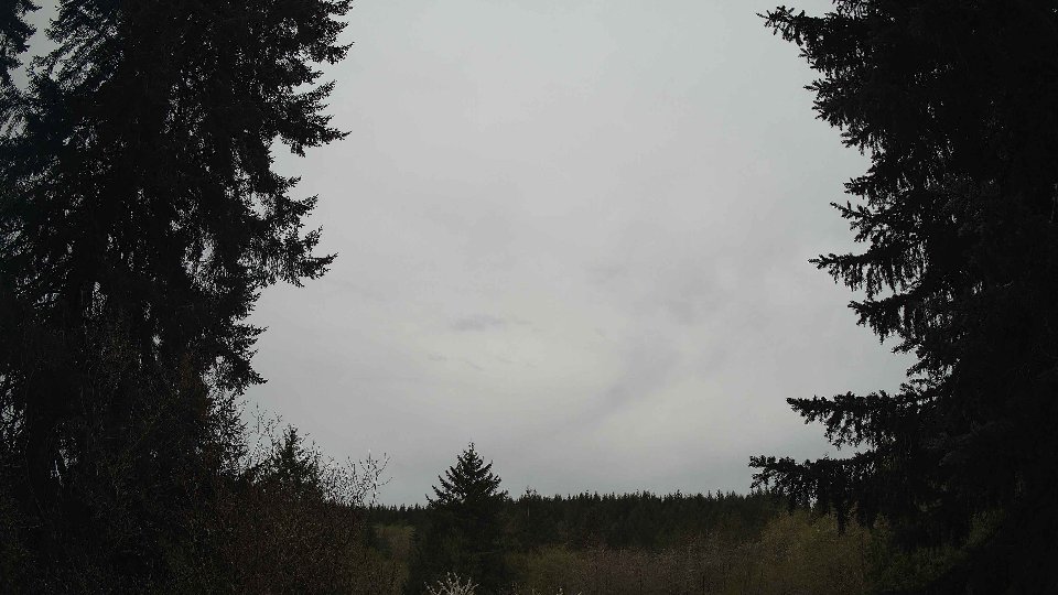
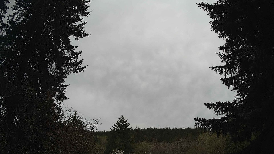
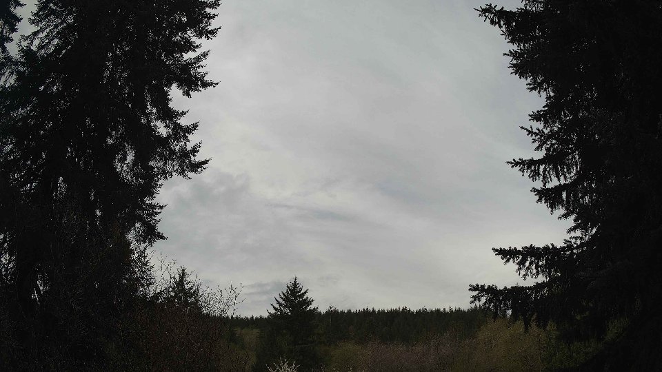
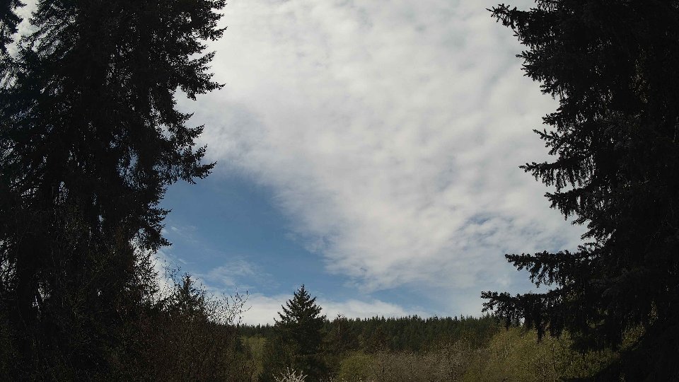
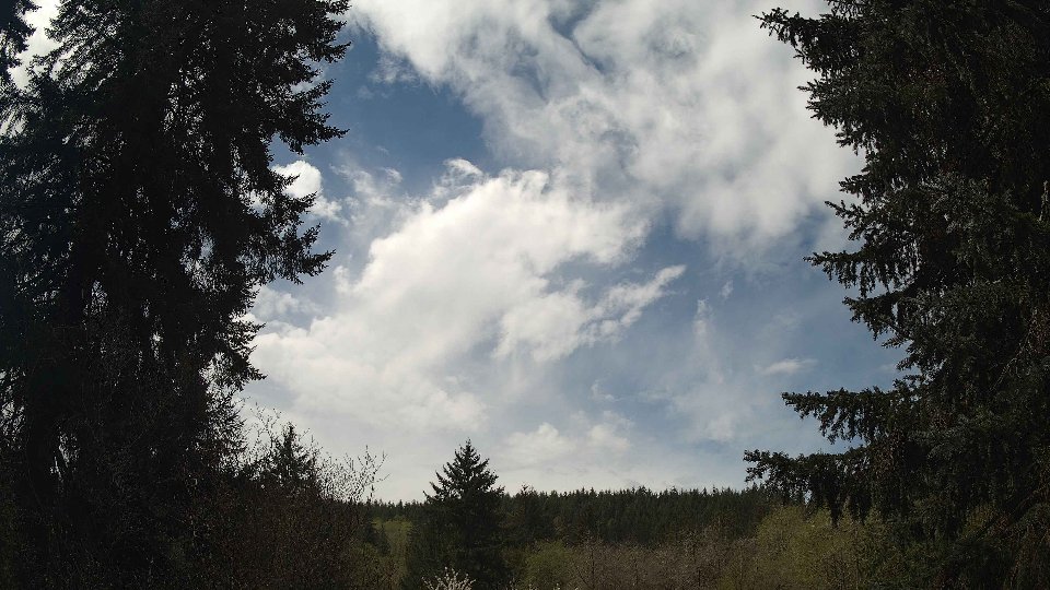
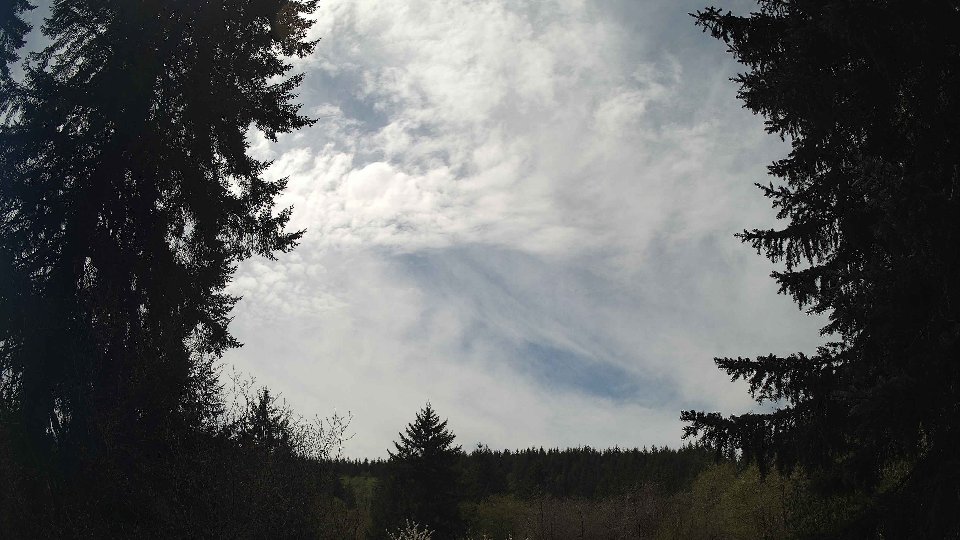
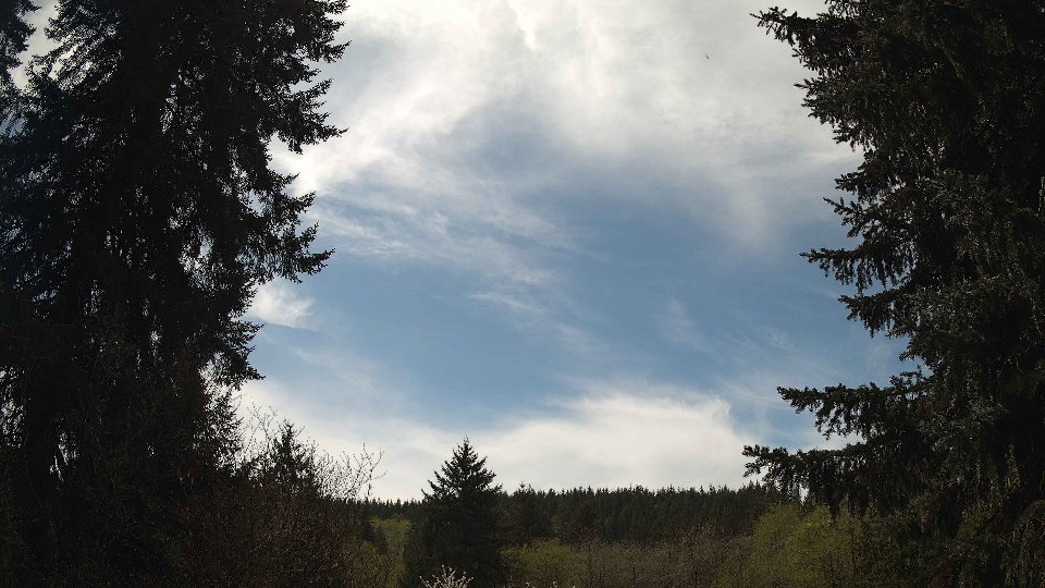
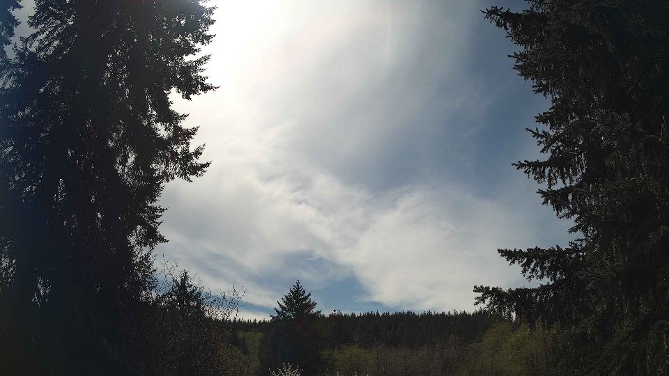
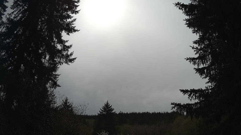
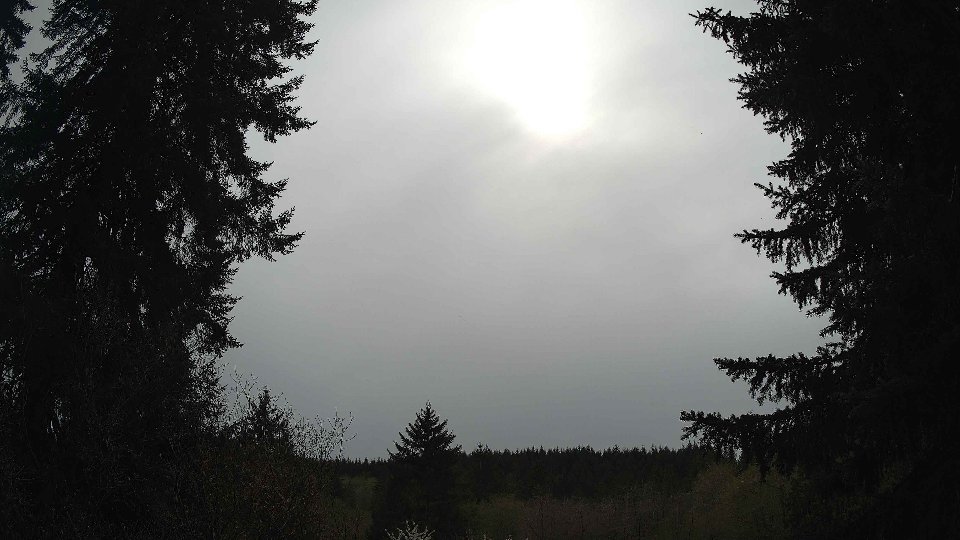
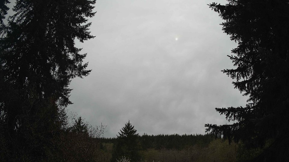
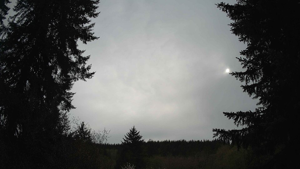
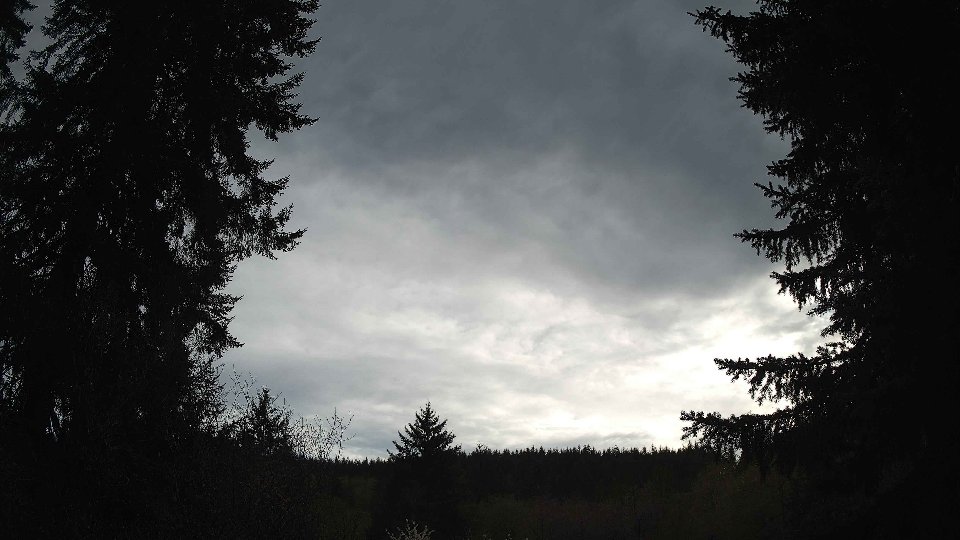
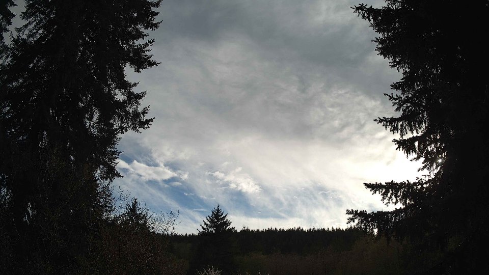
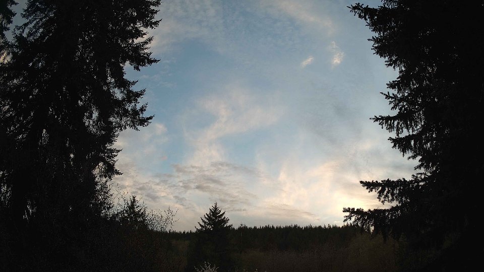
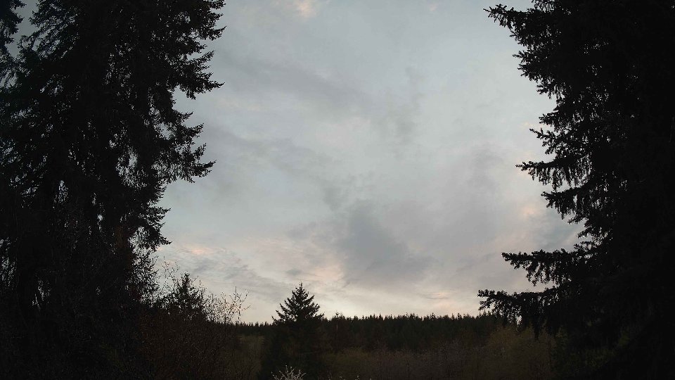
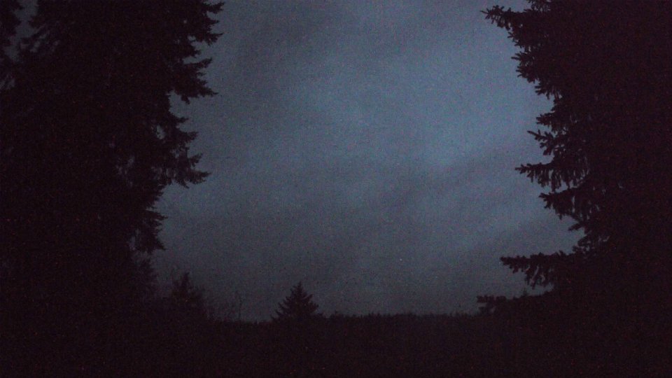
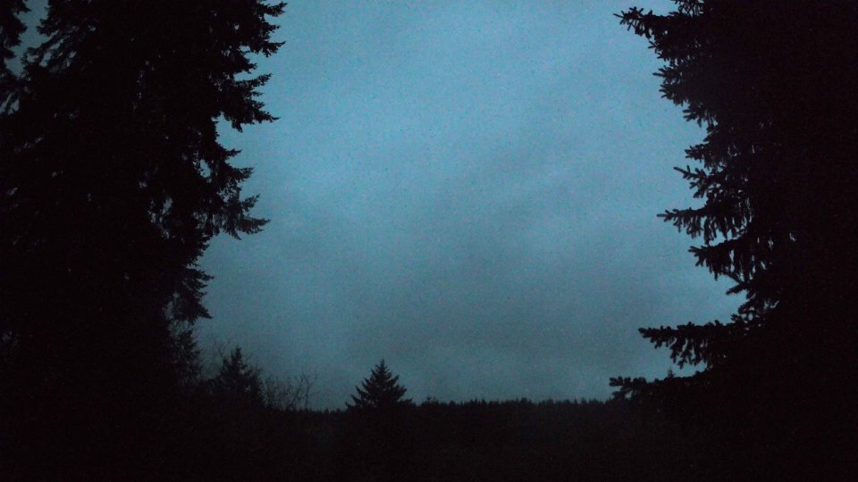
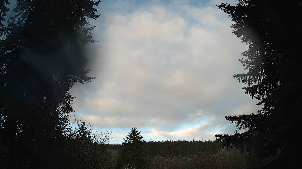
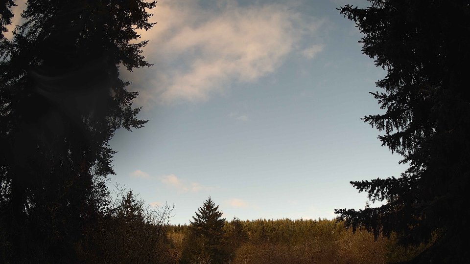
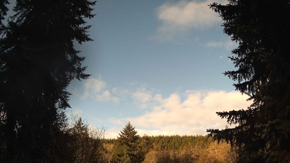
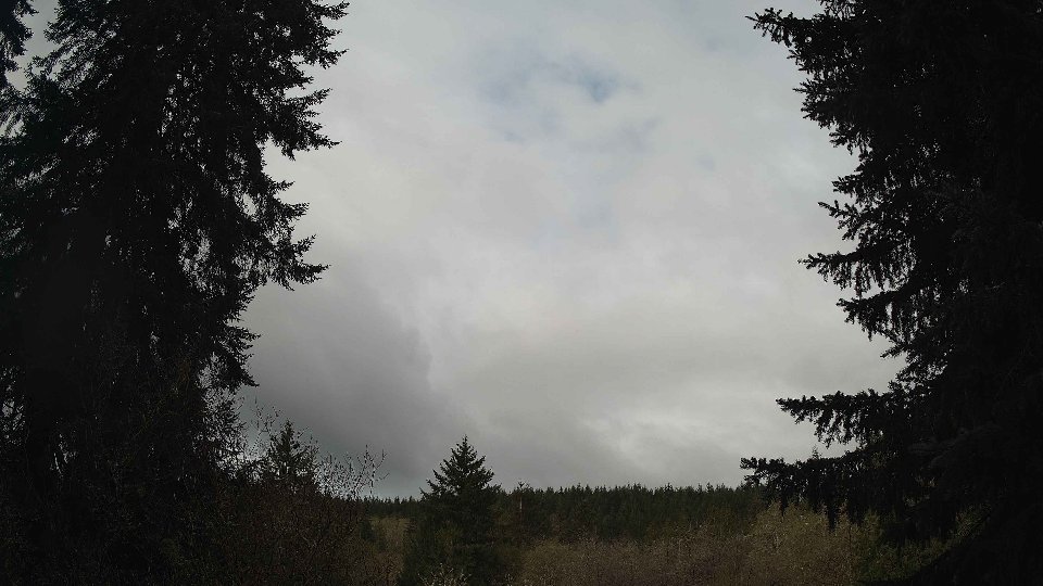
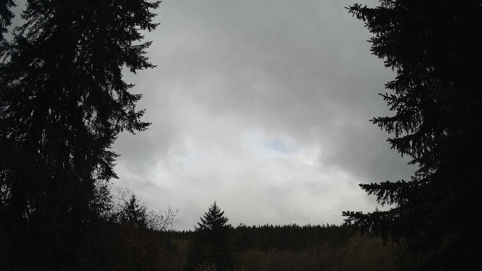
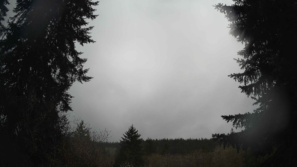
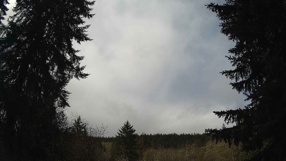
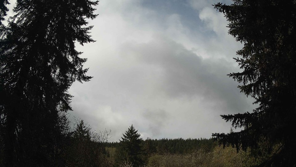
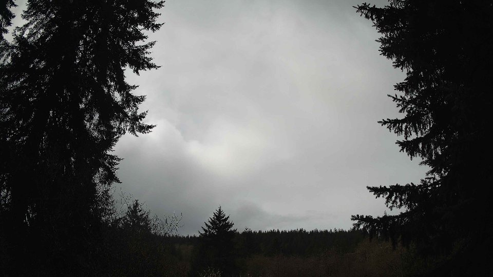
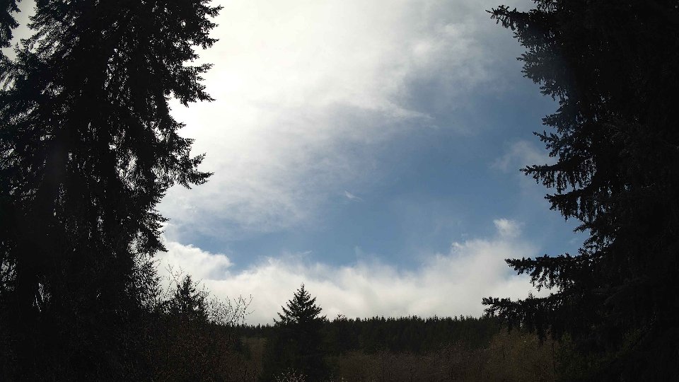
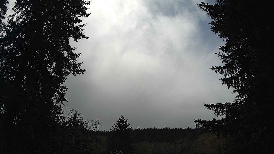
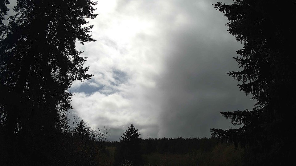
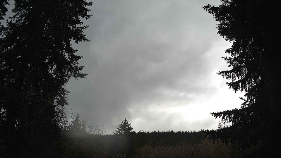
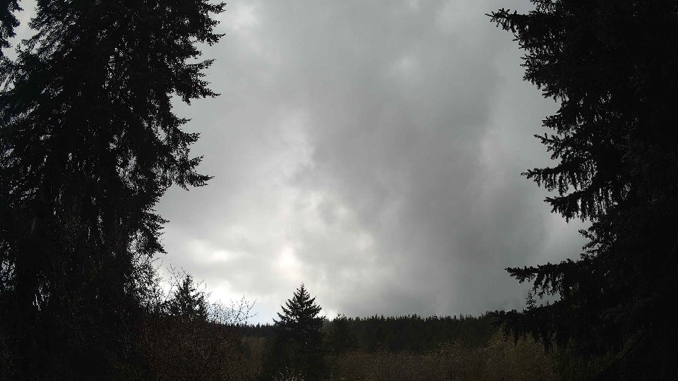
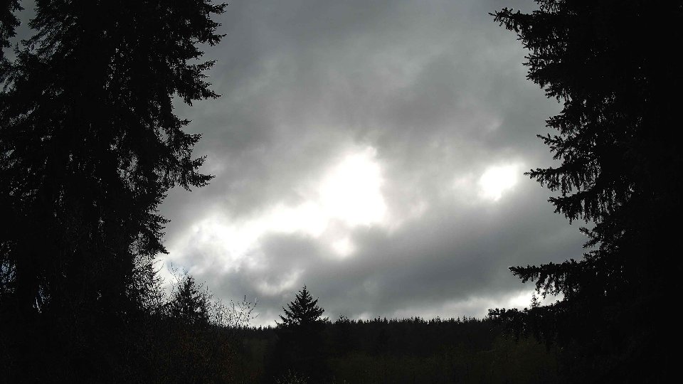
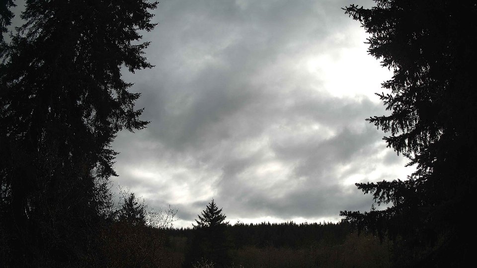
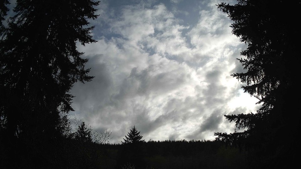
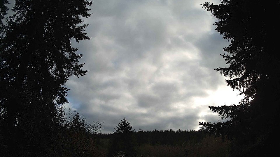
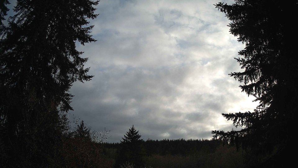
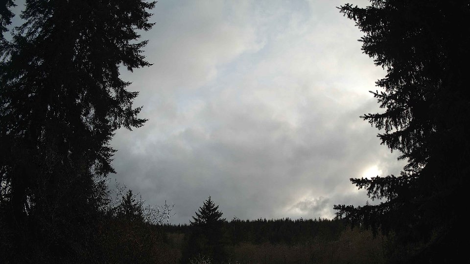
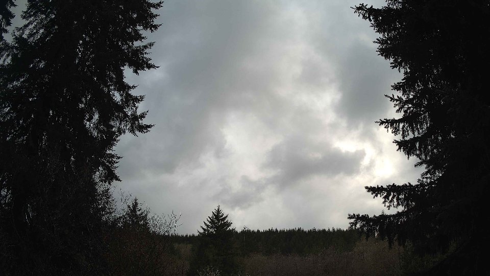
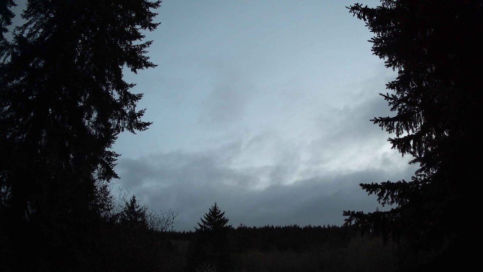
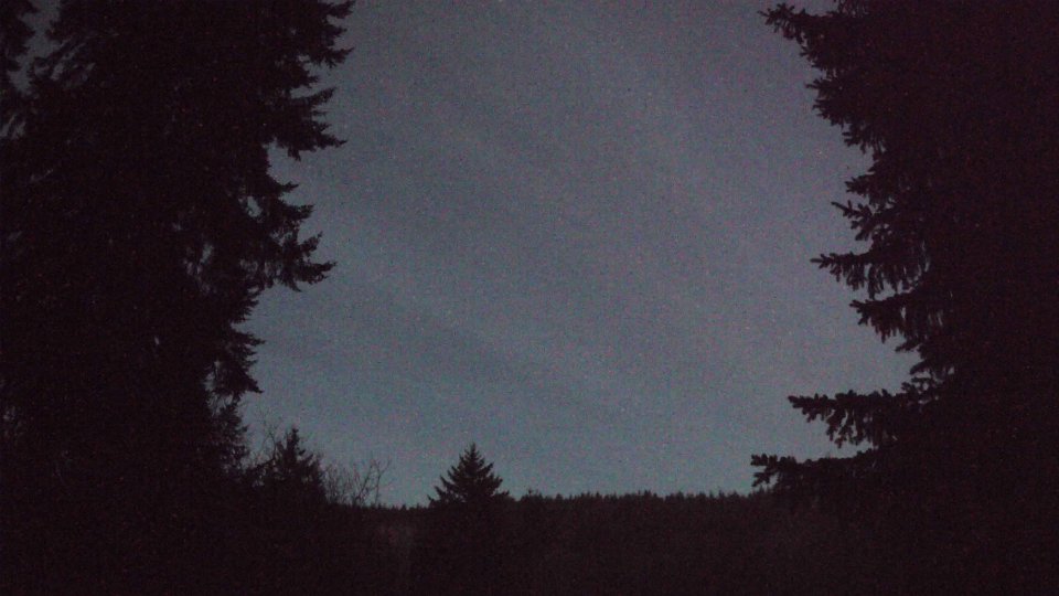
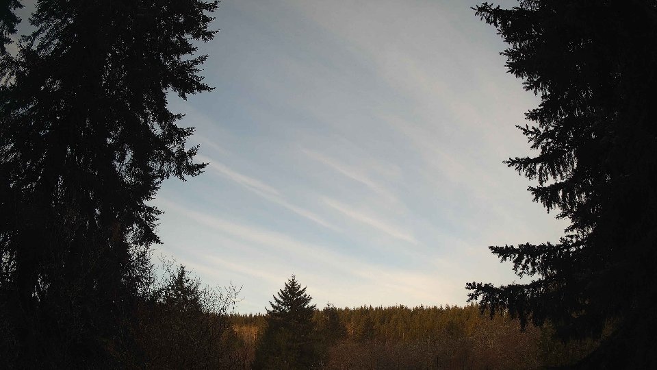
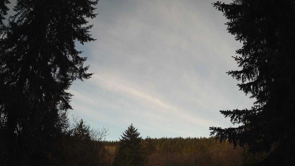
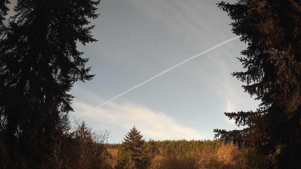
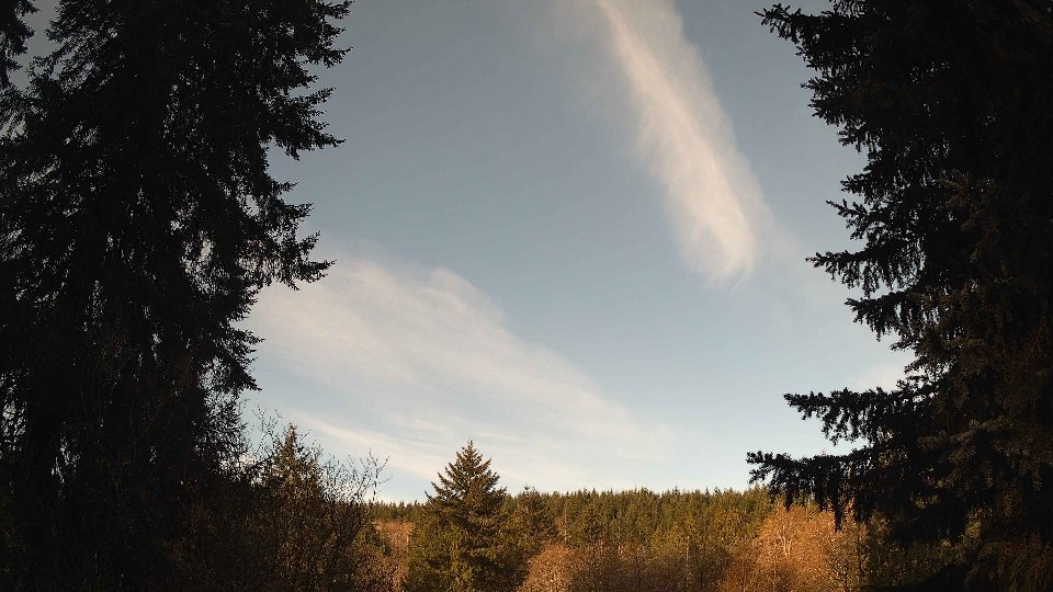
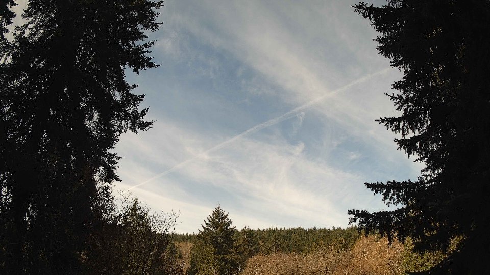
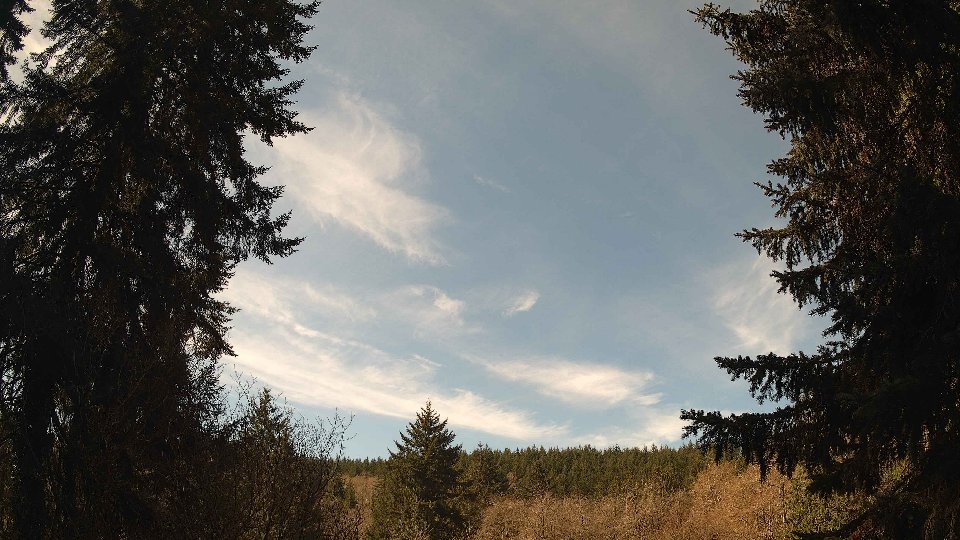
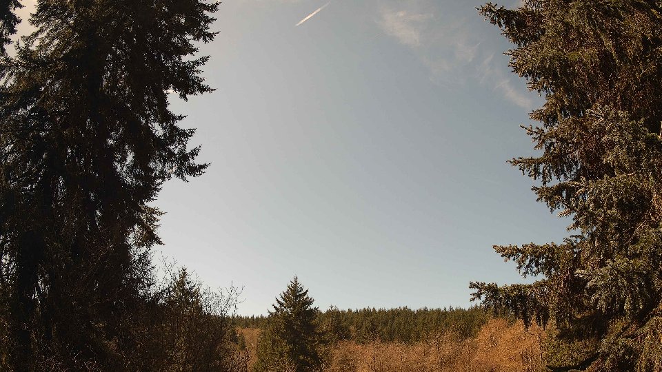
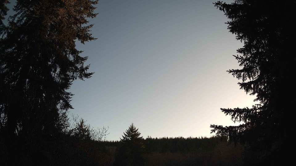
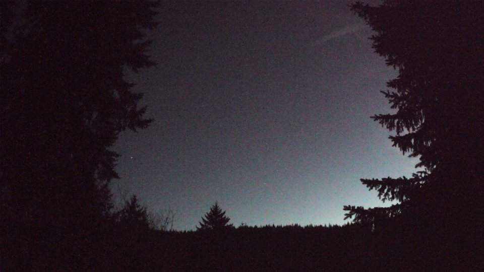
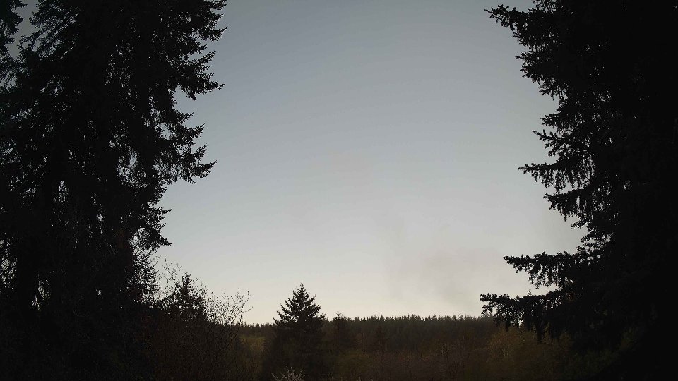
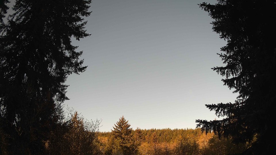
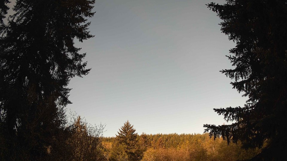
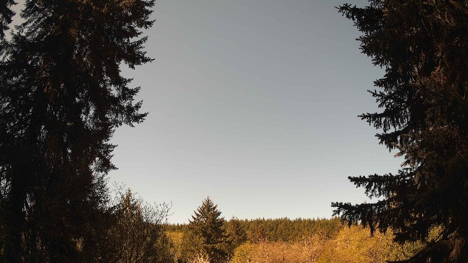
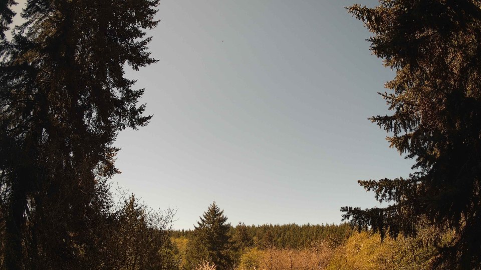
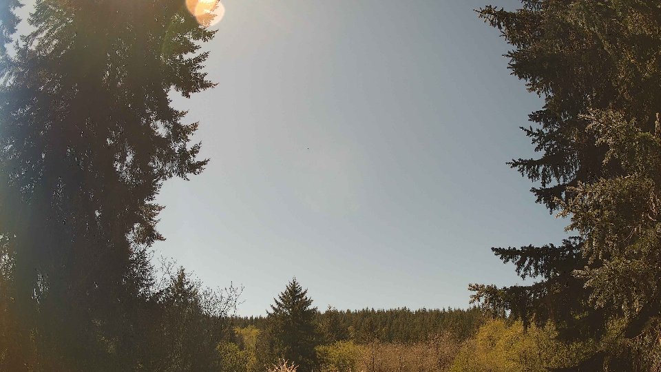
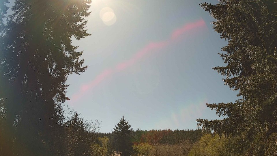
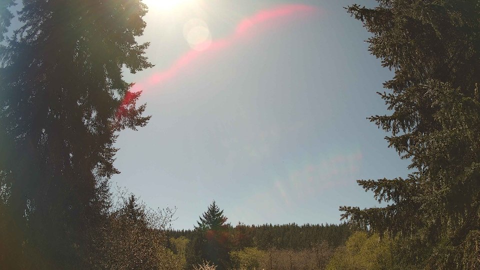
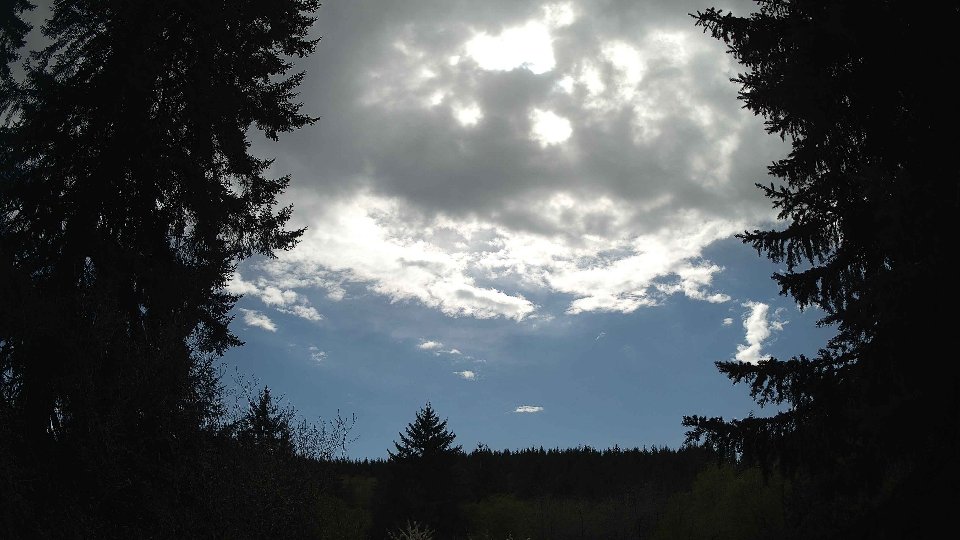
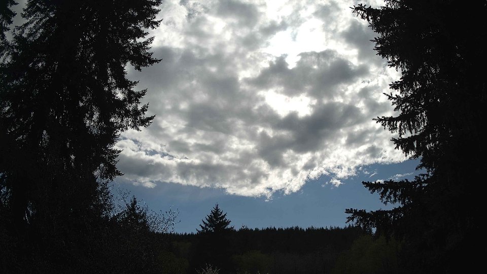
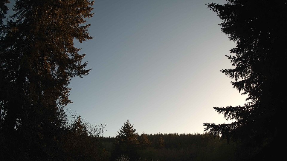
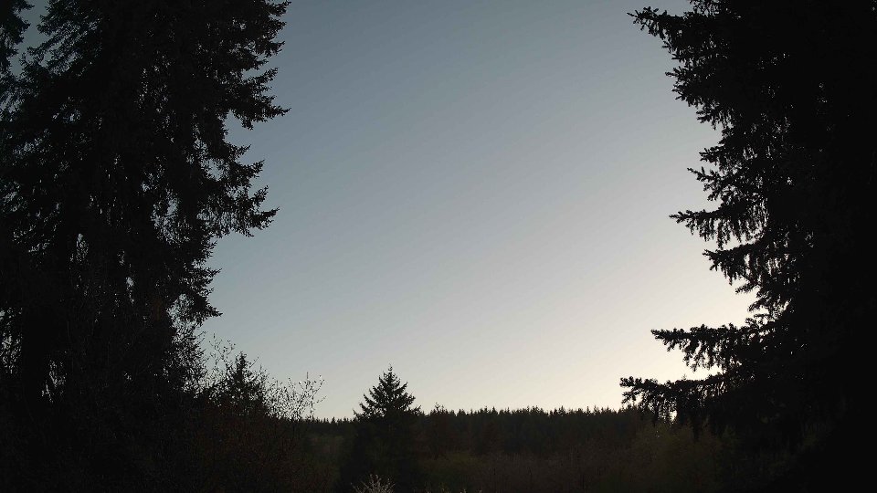
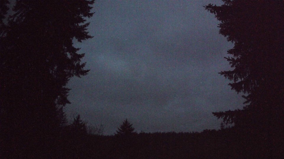
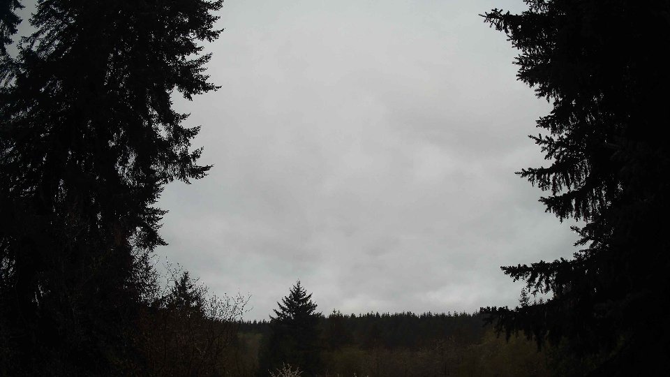
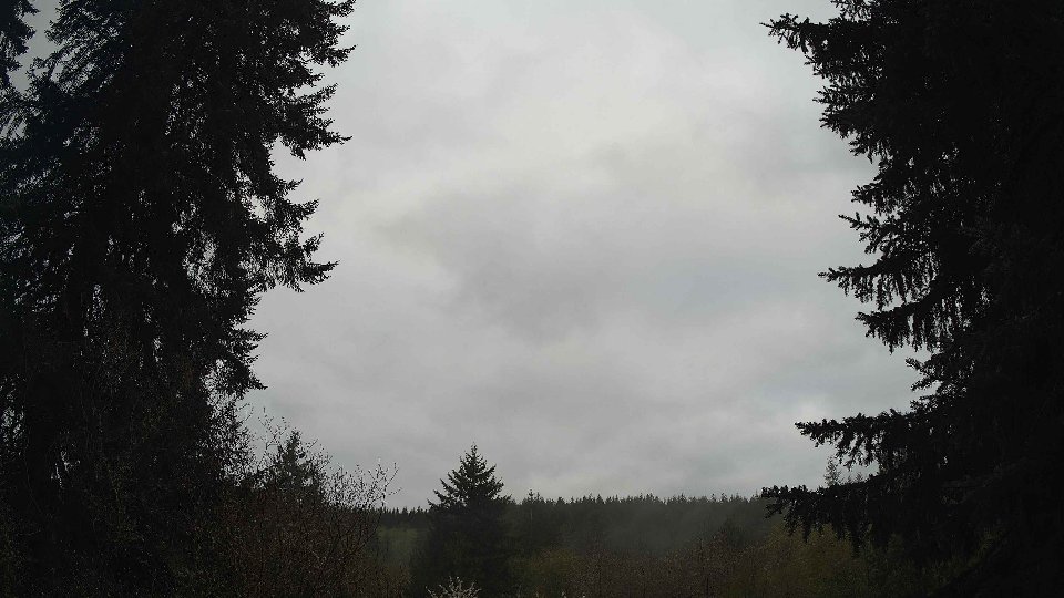
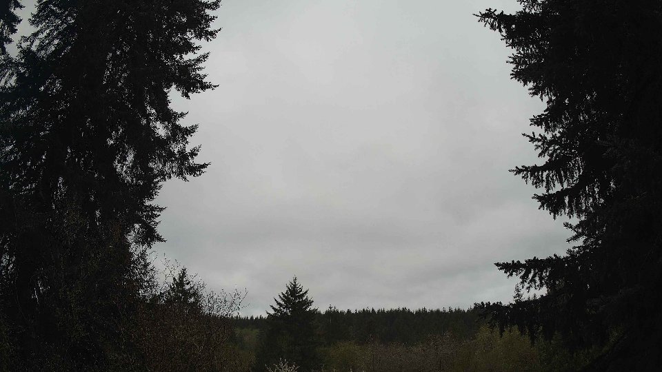
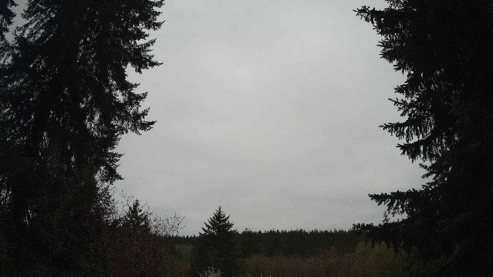
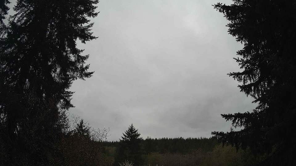
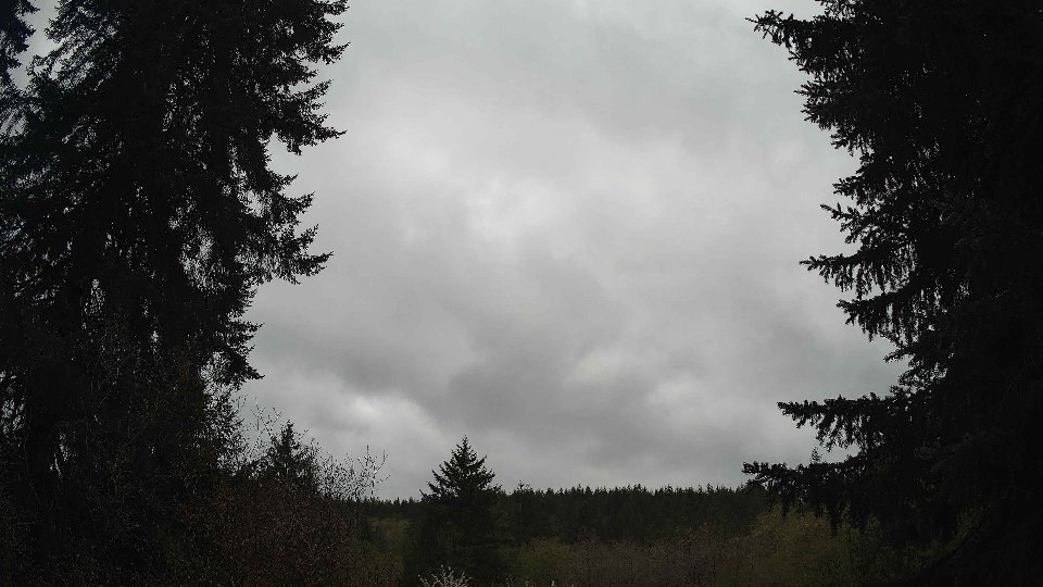
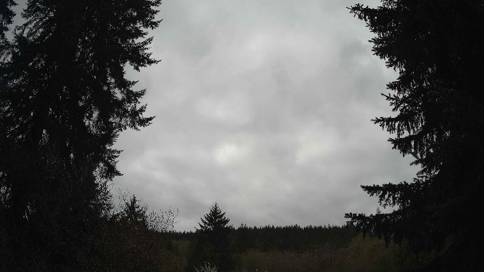
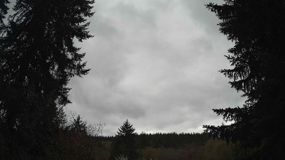
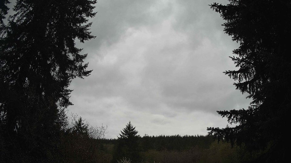
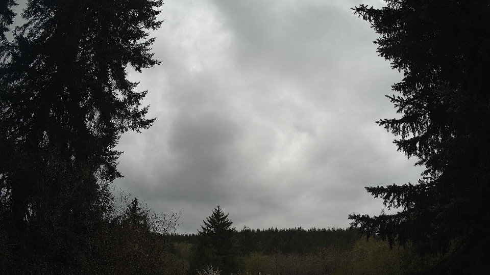
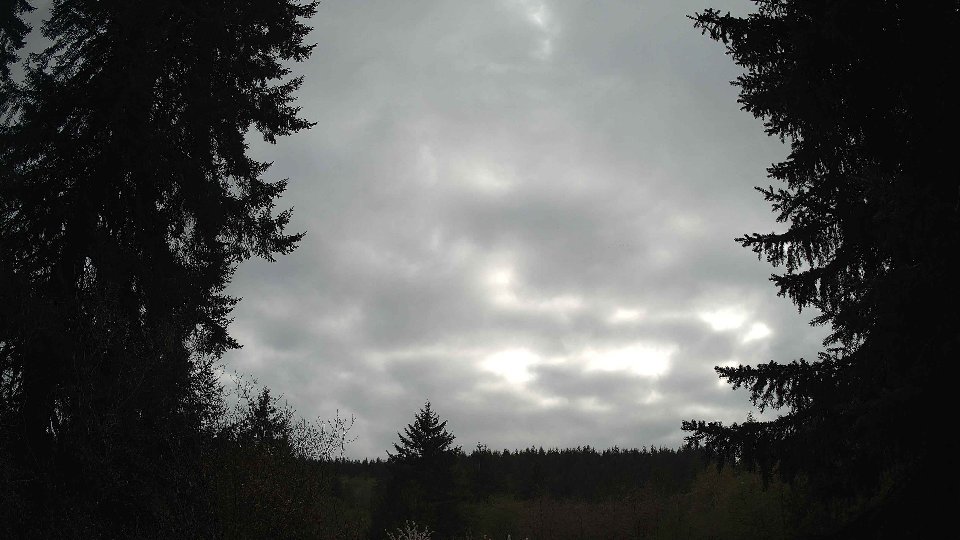
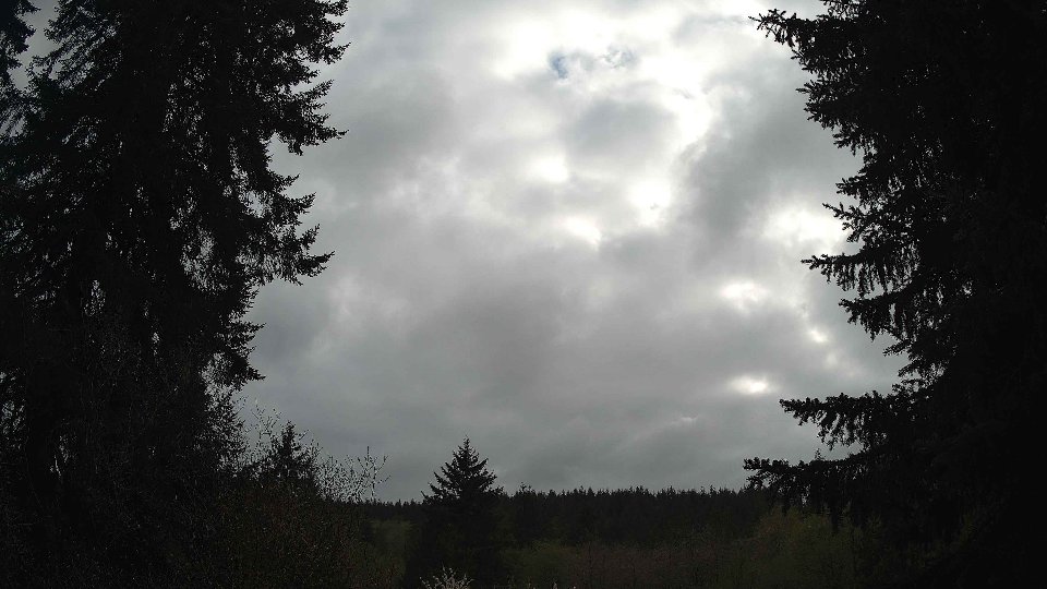
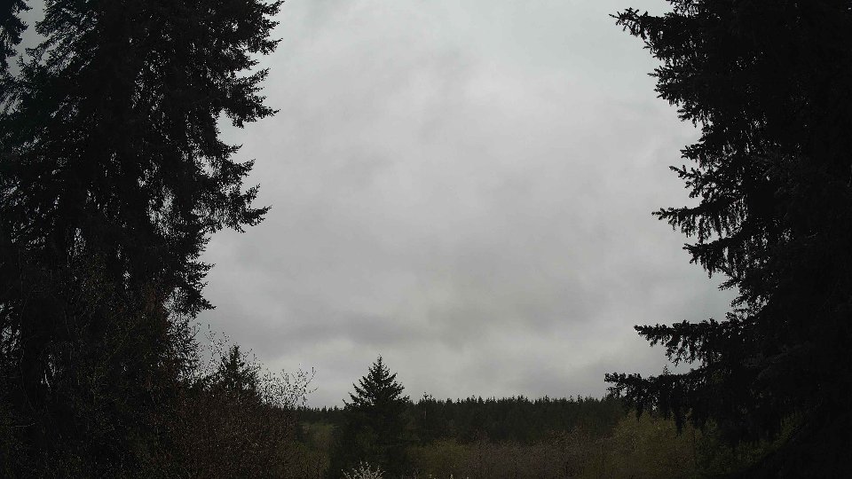
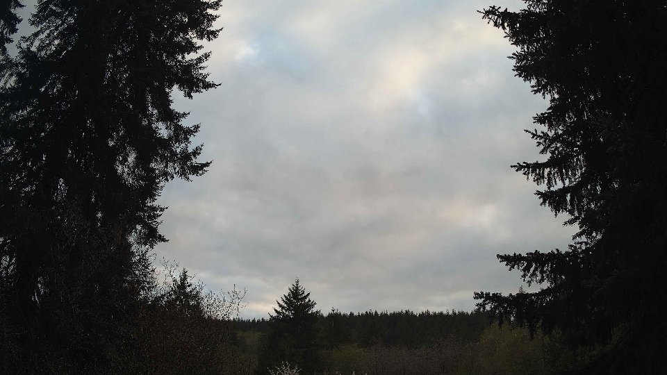
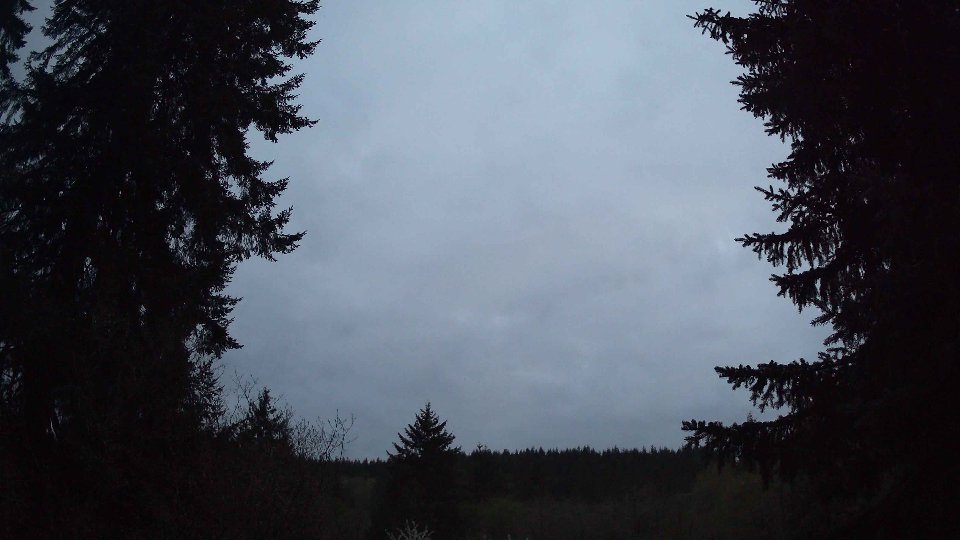
By evening, the temperature settled to a mild 61.5°F, and surface winds picked up to an average of 7.1 mph, suggesting a more dynamic atmosphere as the day came to a close. Winds aloft increased to 11.8 mph, which led to more pronounced turbulence as the conflicting wind layers interacted. The cloud cover remained consistently high, averaging around 99.5%, with mid clouds at 72.8% and high clouds at 84.0%, creating a complex interplay of shades and textures across the sky. Interestingly, despite the robust cloud cover, there was no precipitation observed, signaling that the atmosphere had stabilized somewhat as the evening approached. The swirling patterns of the clouds, driven by the differences in wind speed and direction across altitudes, created a mesmerizing sight, transforming the sky into an ever-shifting canvas of gray.
April 20th, 2026 Timeline
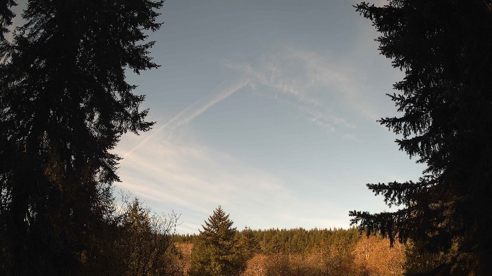
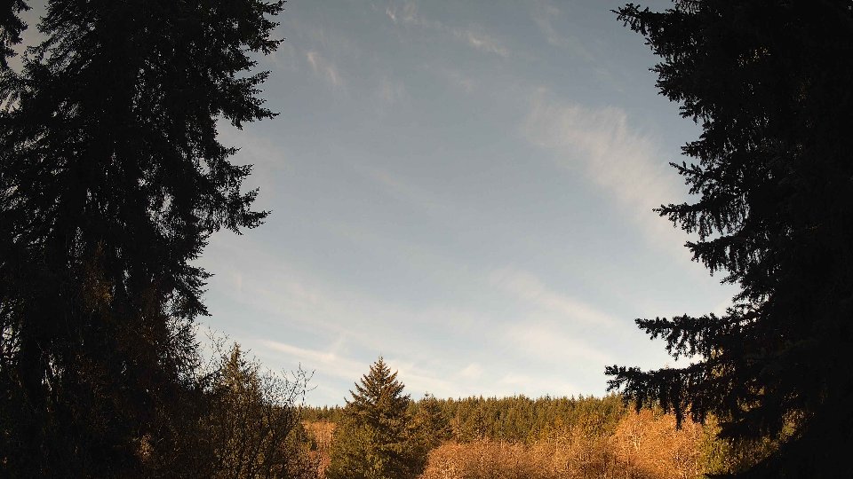
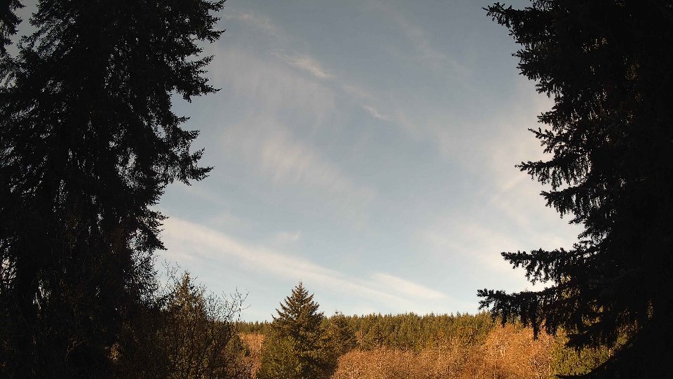
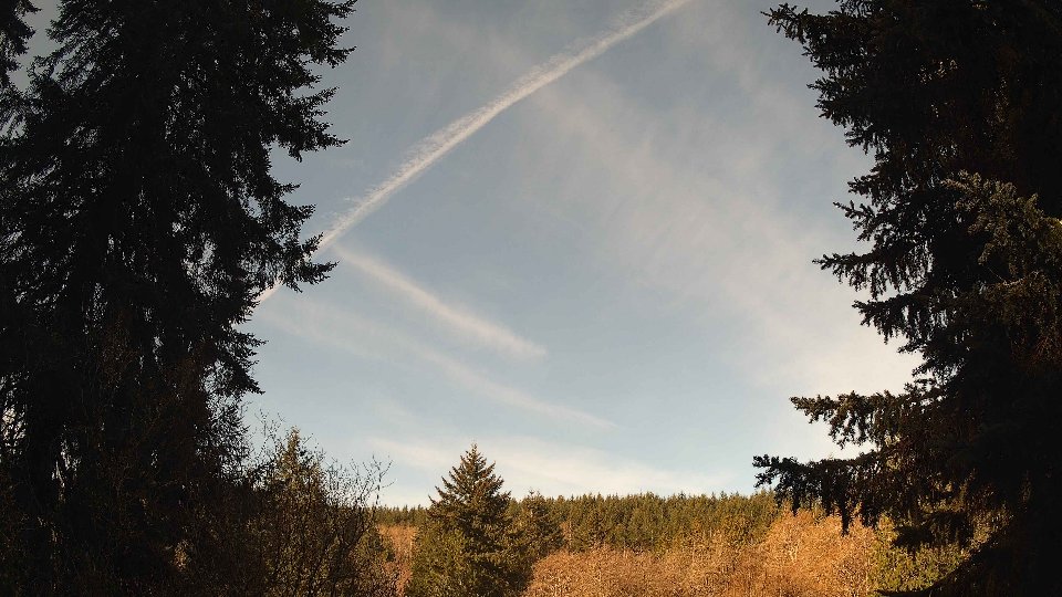
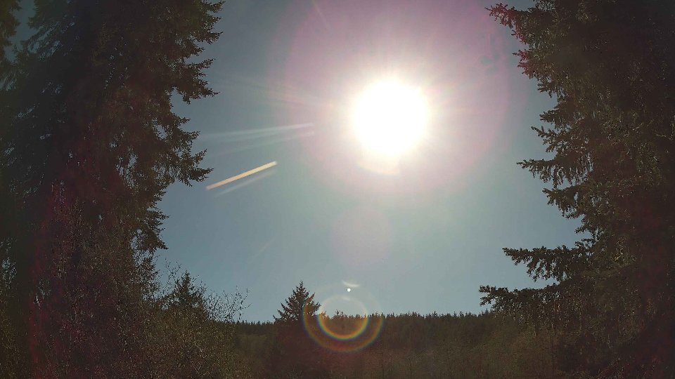
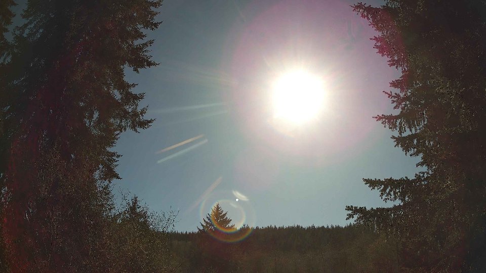
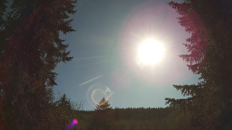
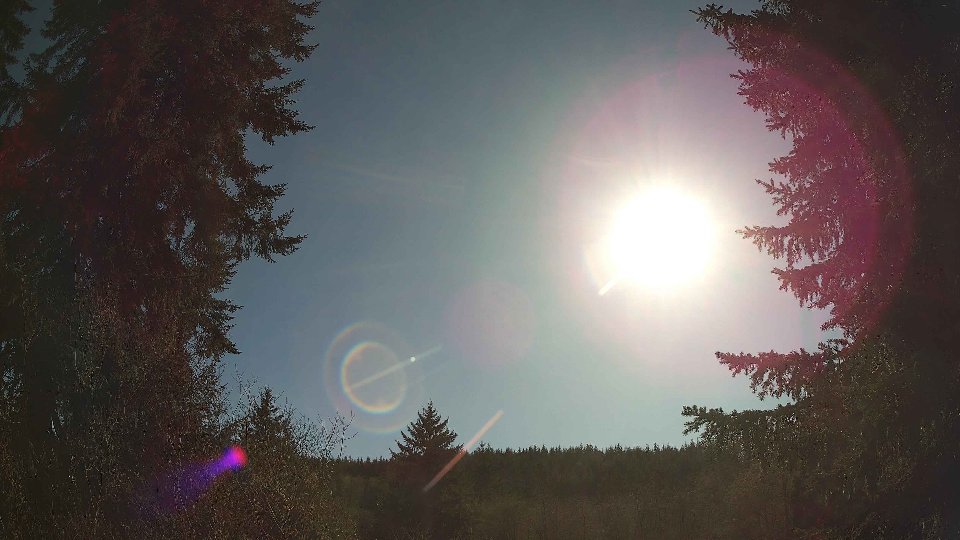
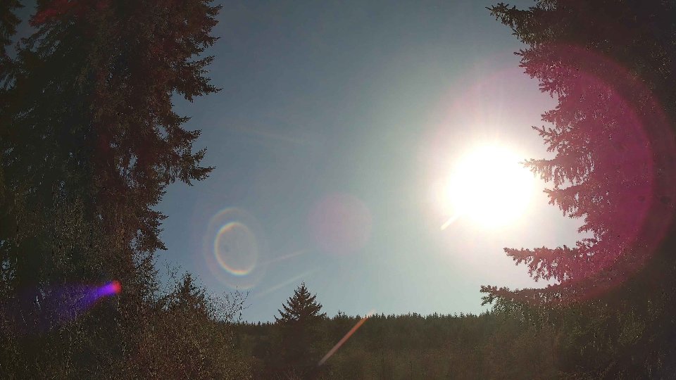
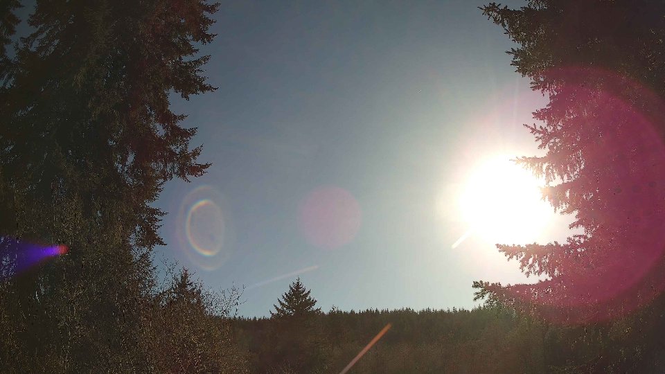
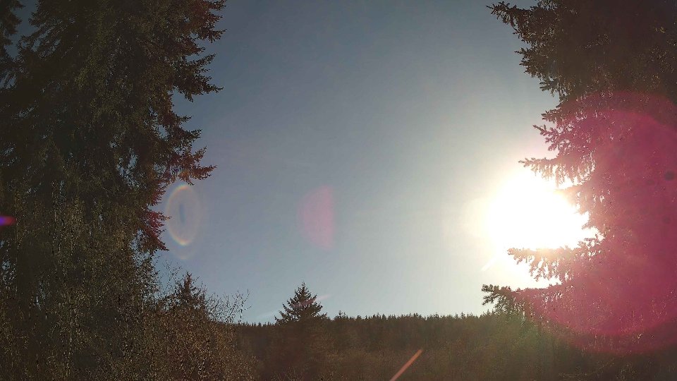
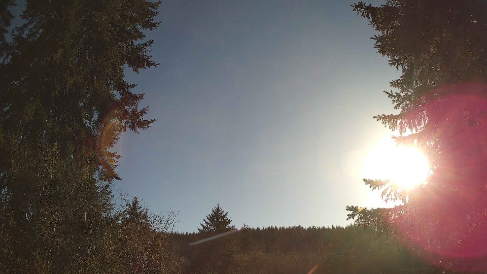
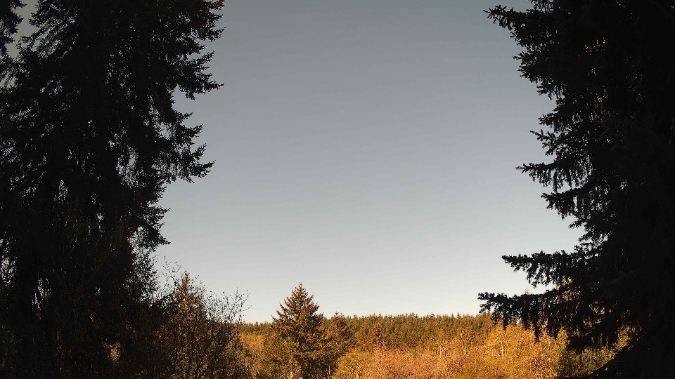
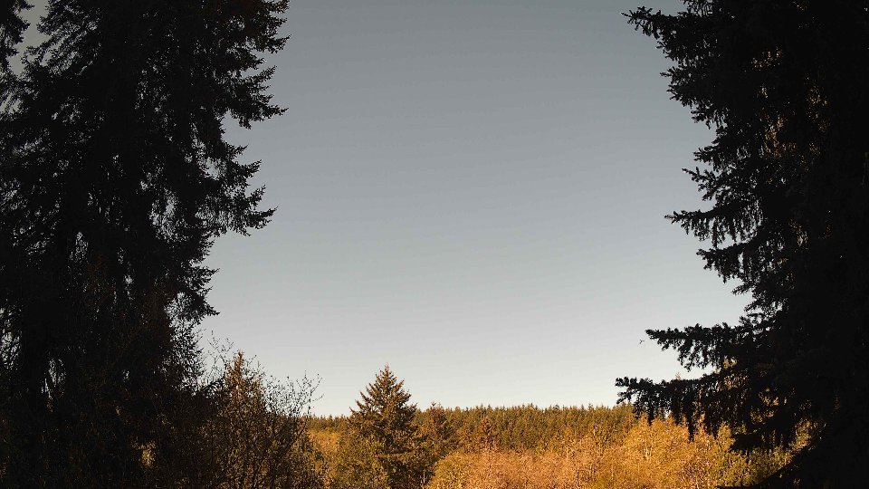
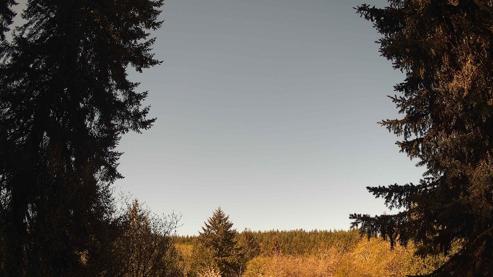
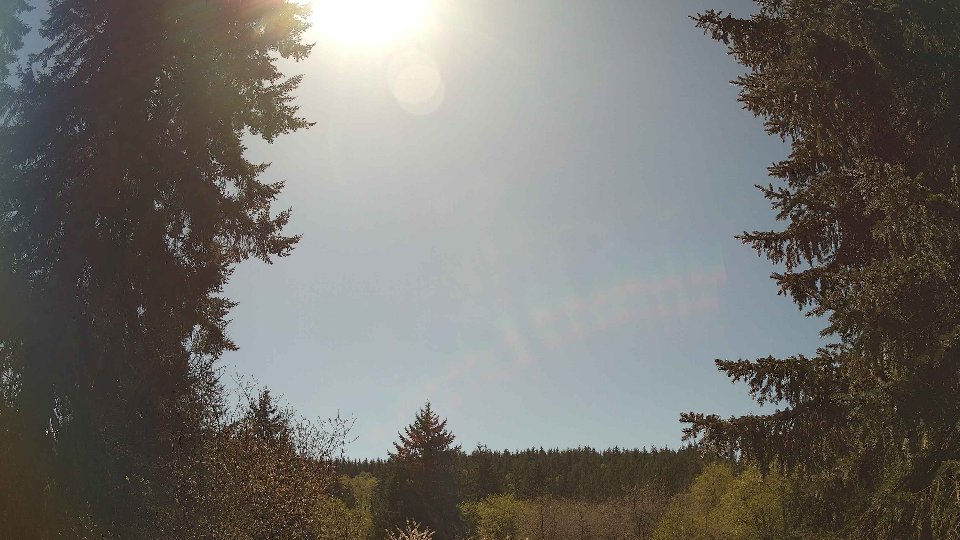
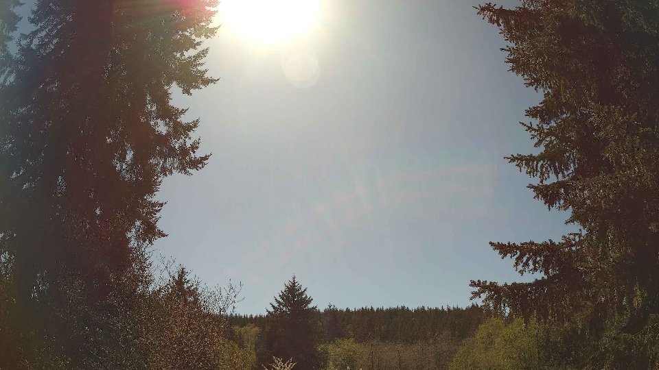
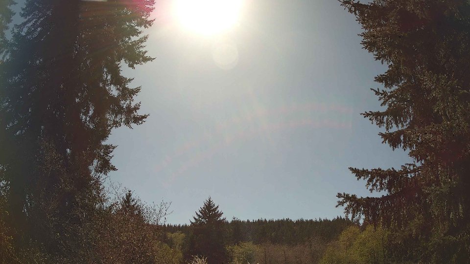
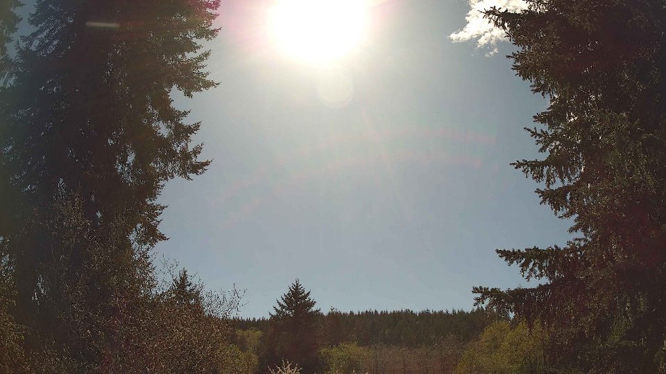
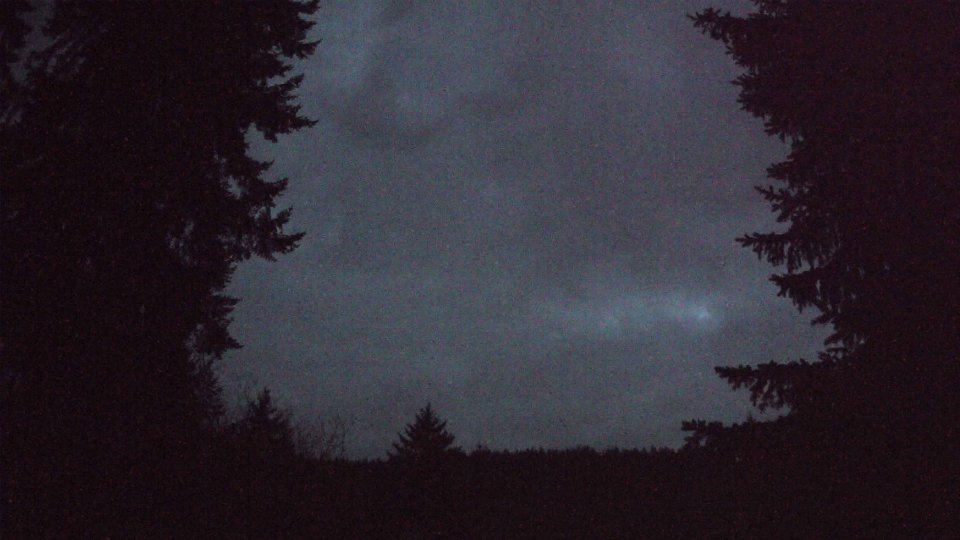
Screenshots with weather data (wind layers, clouds, precipitation)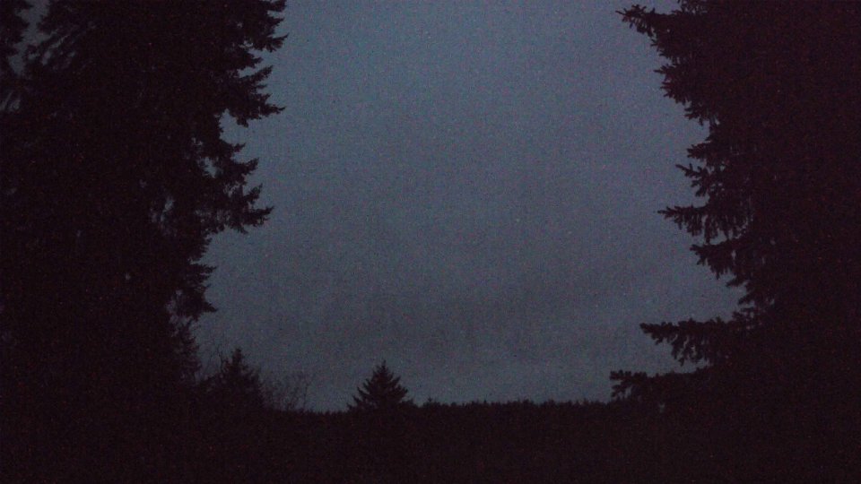


Weather Info for April 20th, 2026
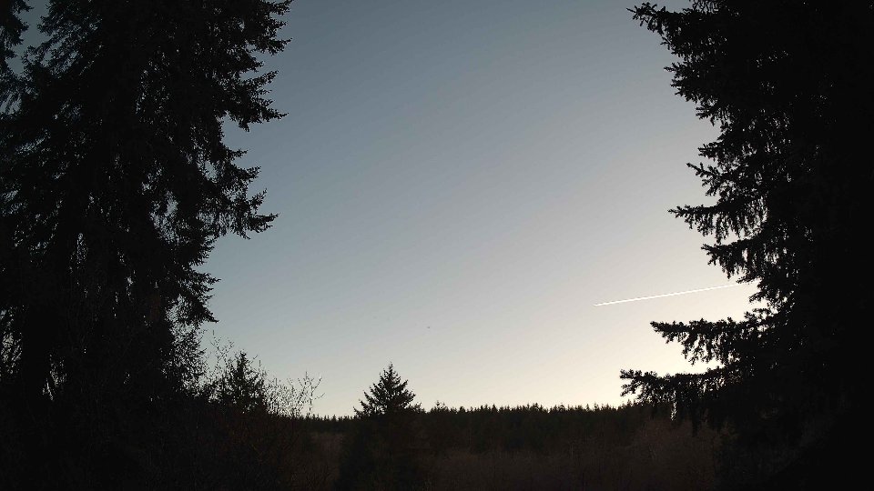
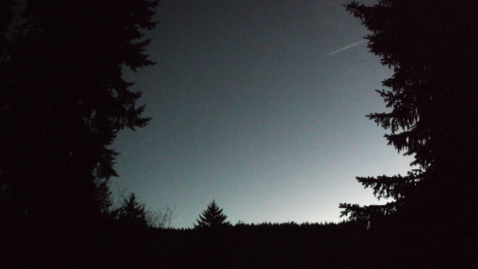
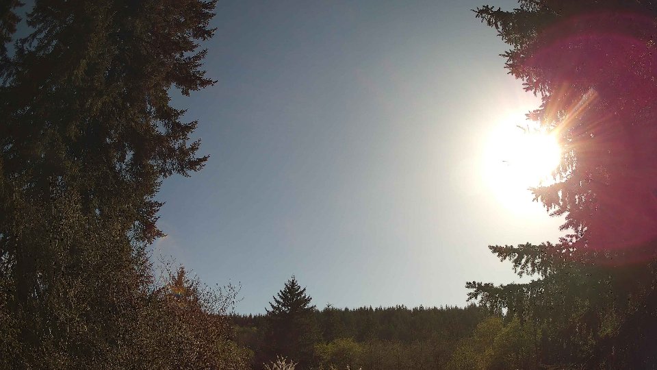
Sunset: 8:05 PM