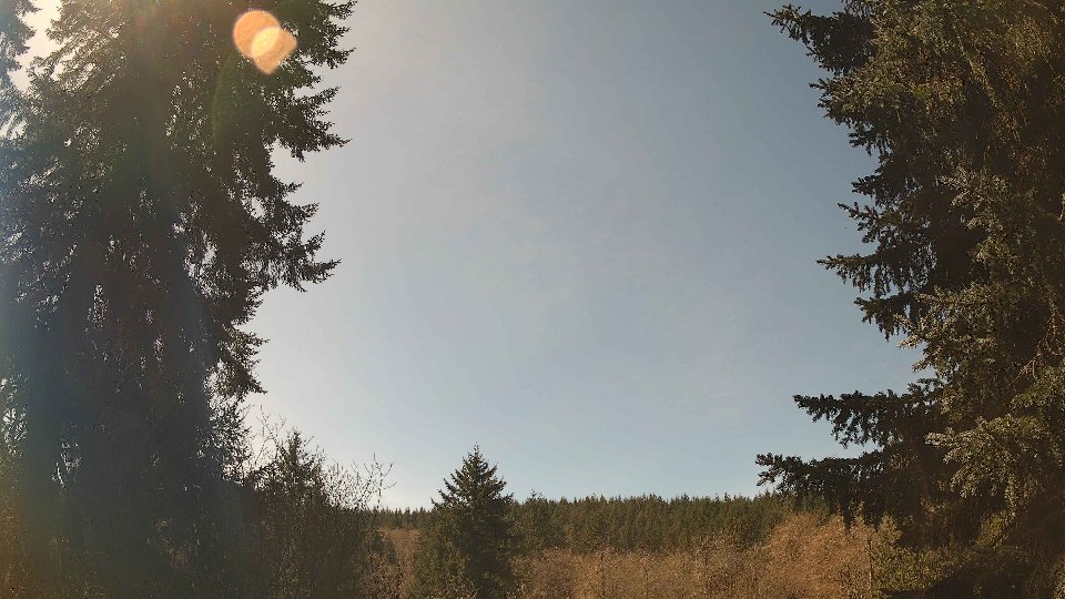
April 21st, 2026 Timelapse
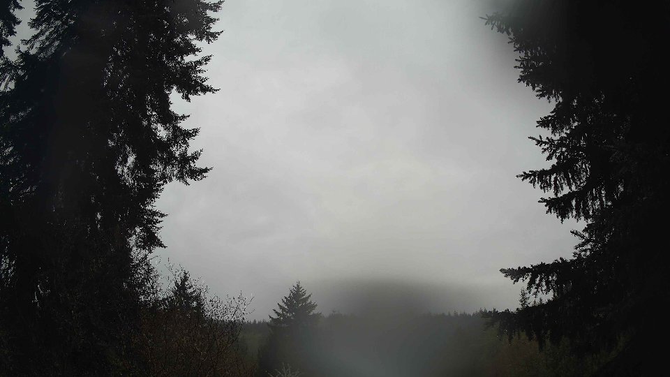
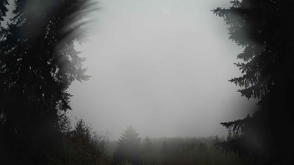
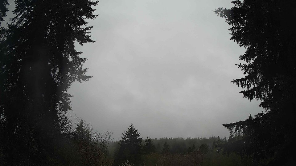
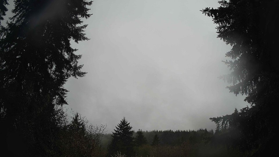
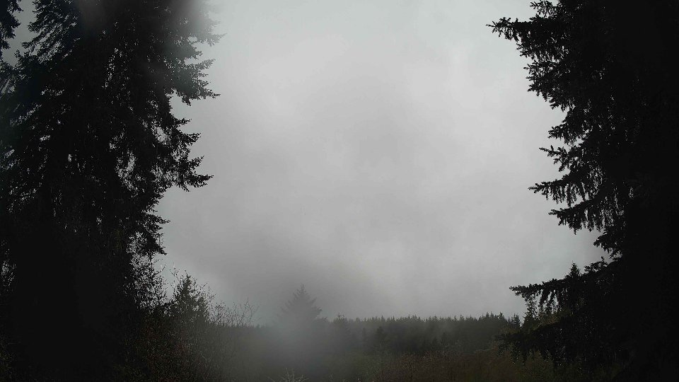
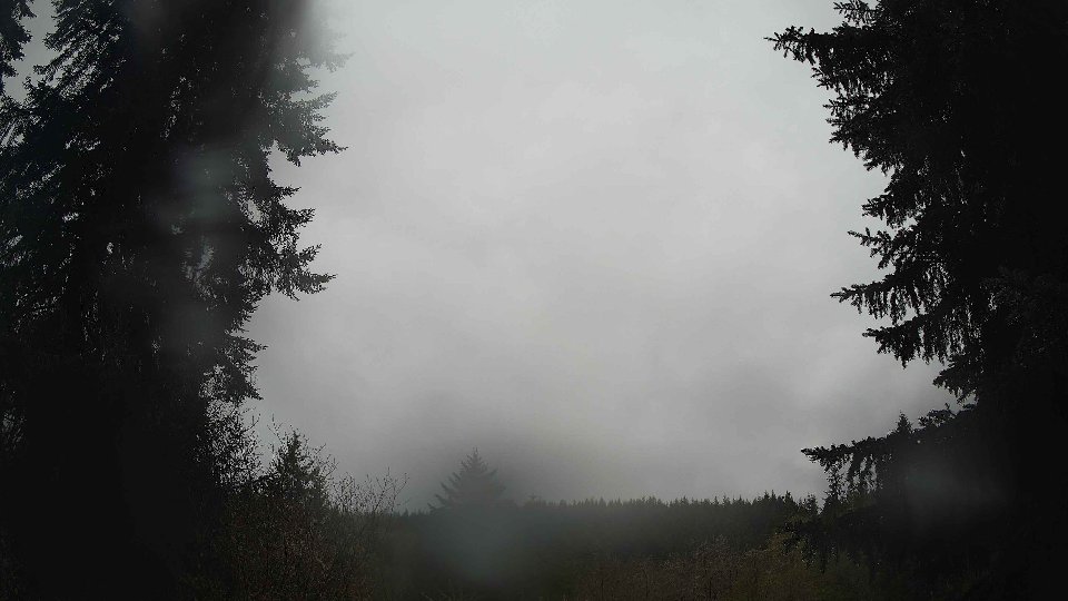
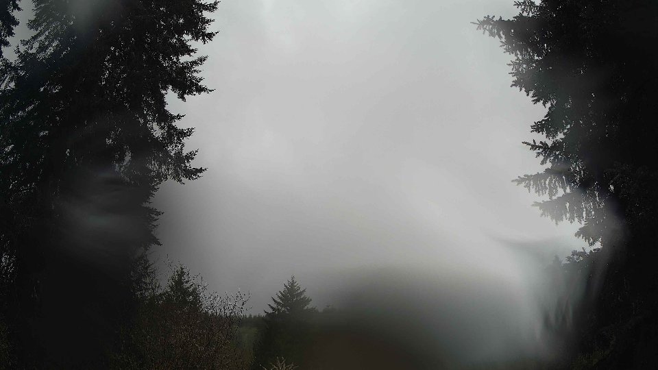
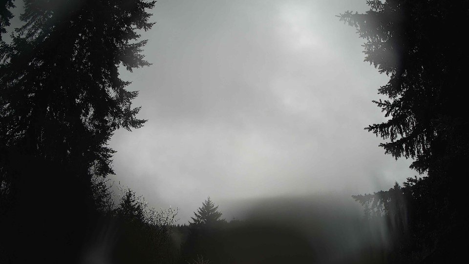
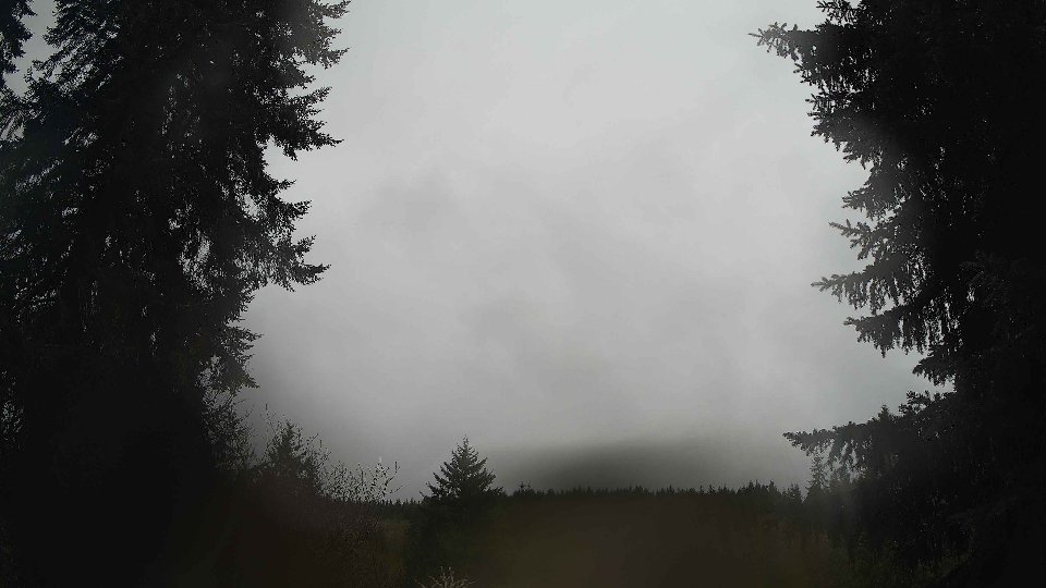
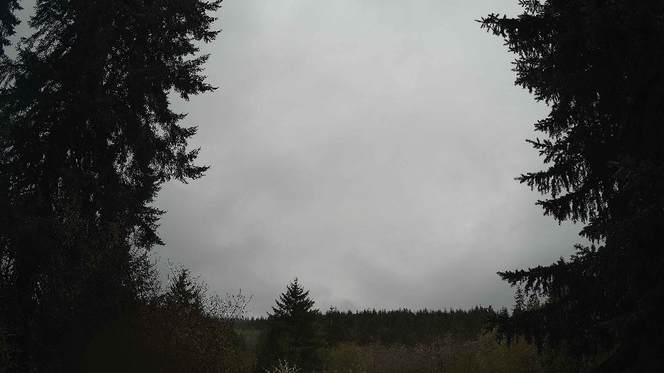
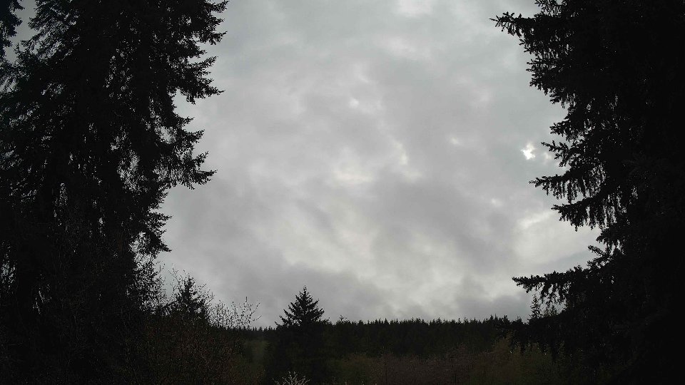
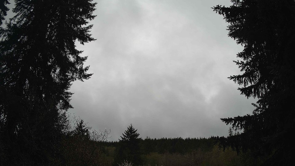
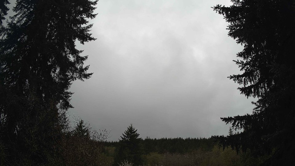
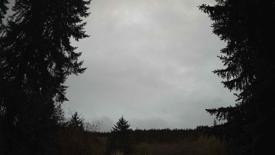
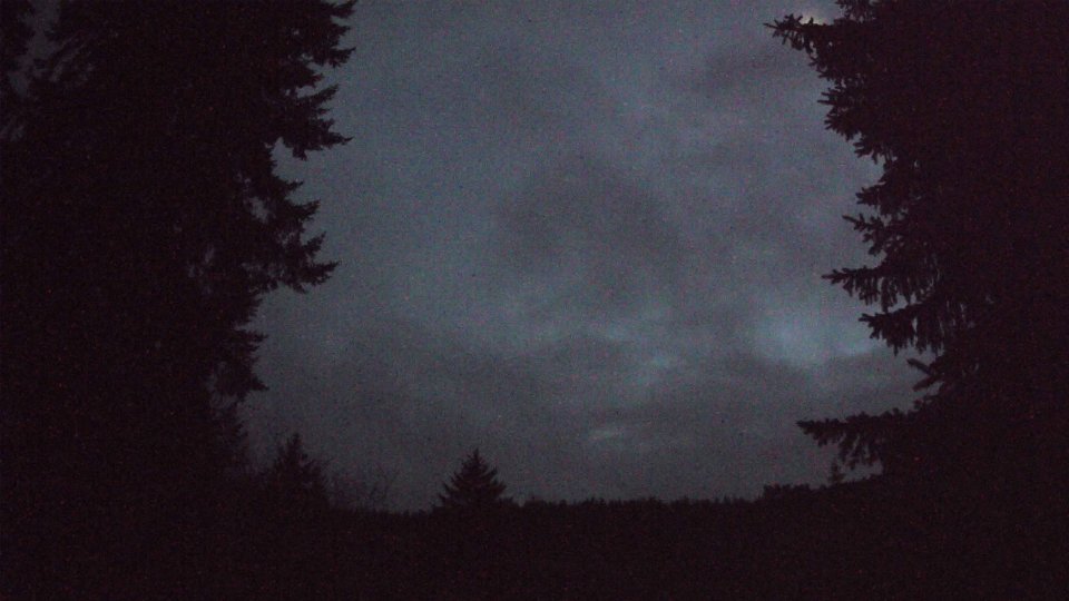
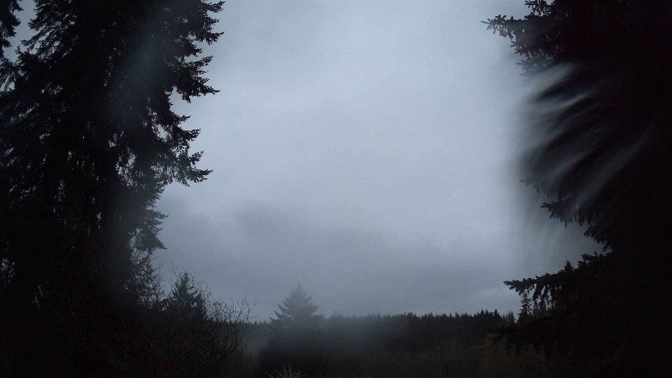
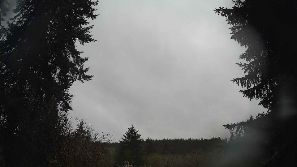
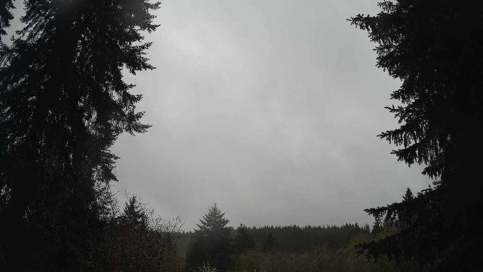
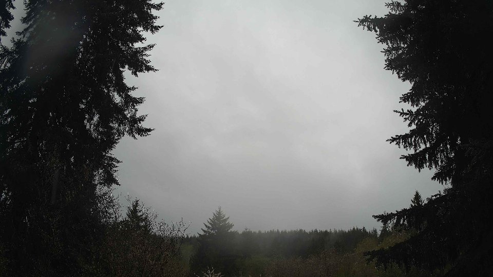
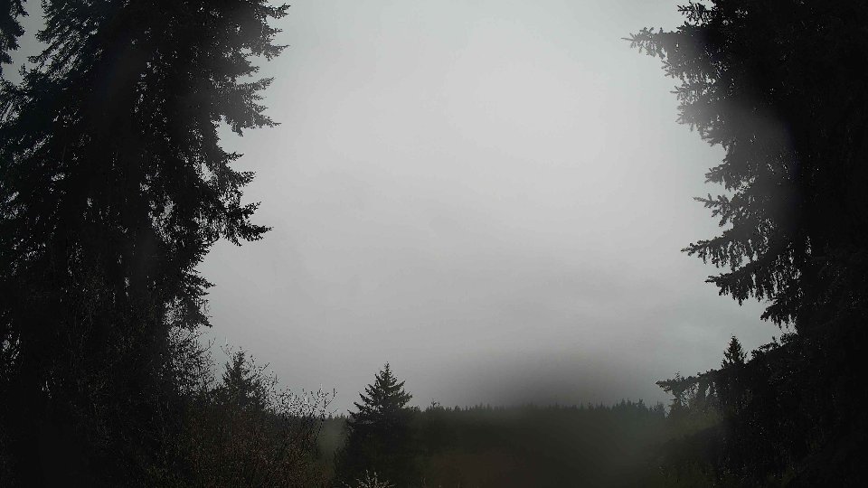
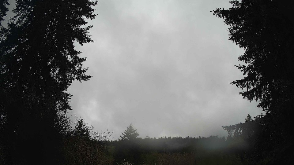
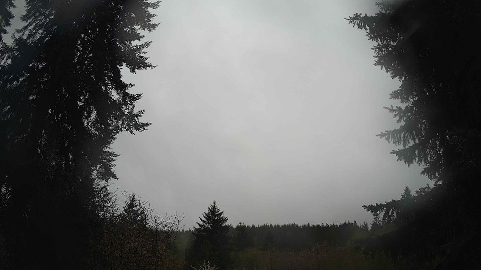
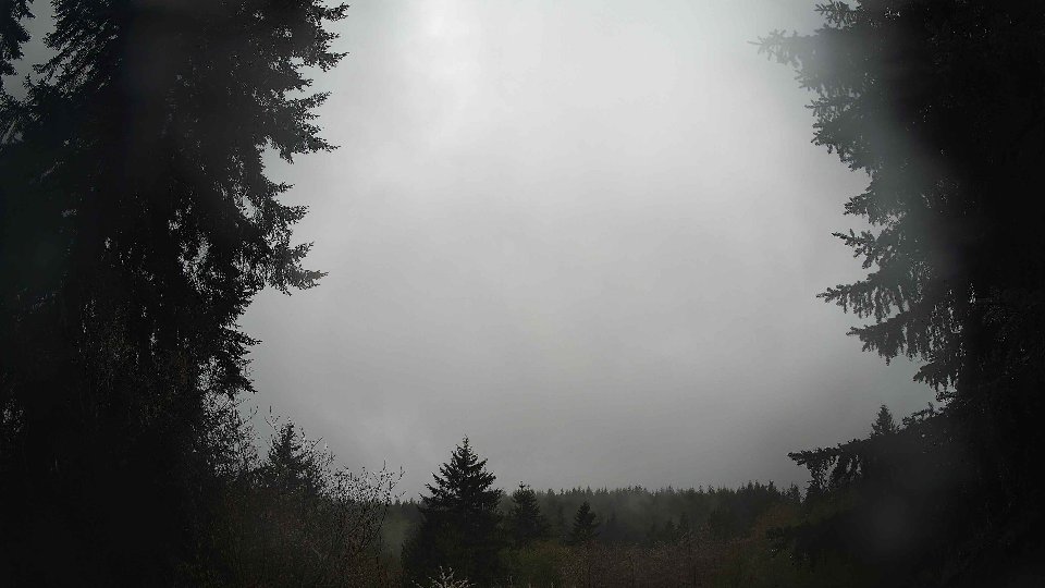
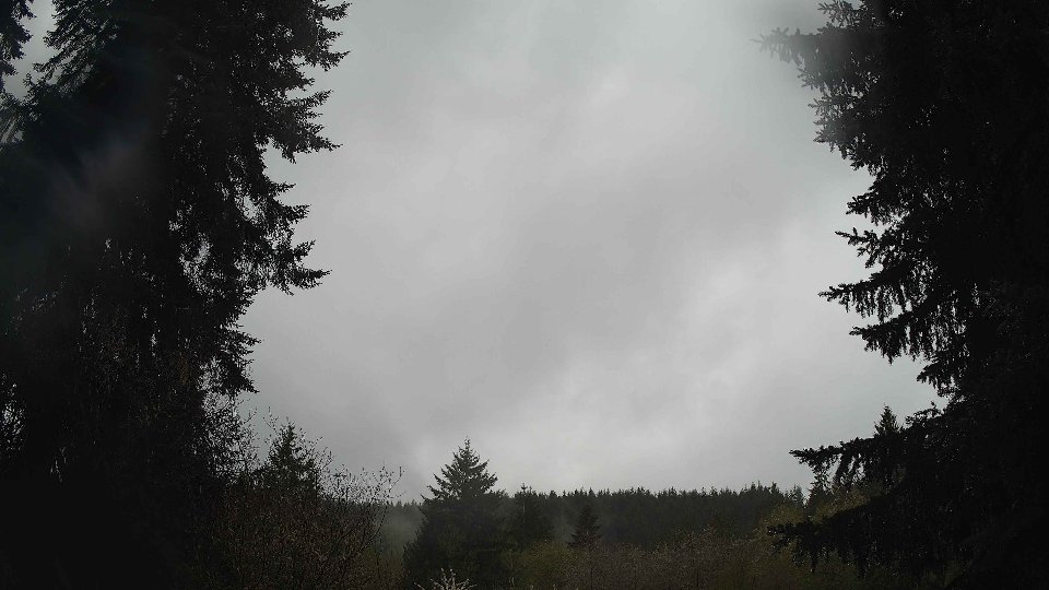
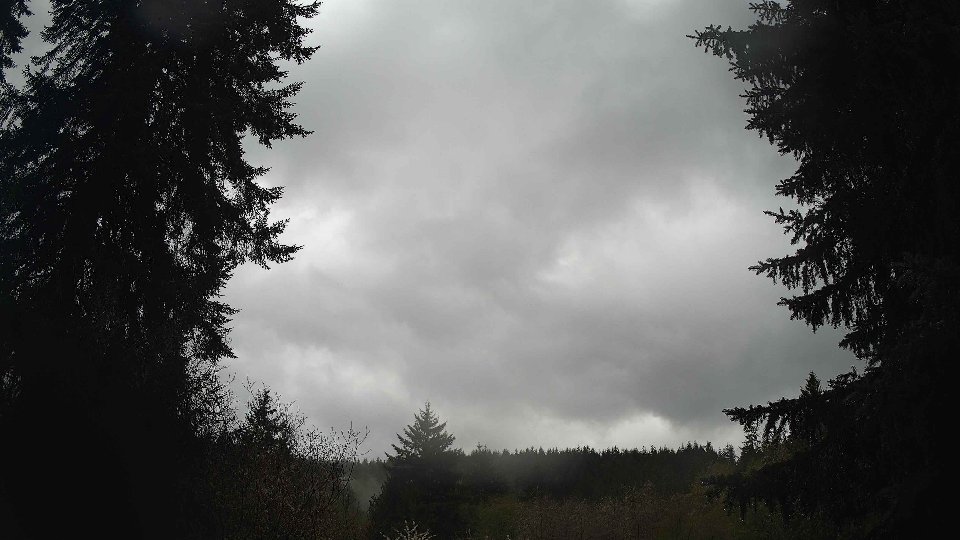
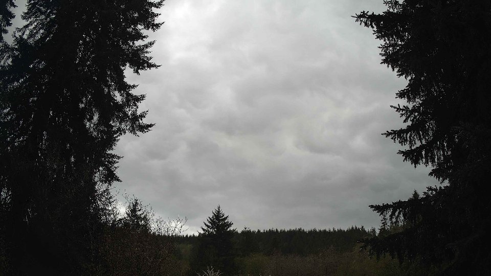
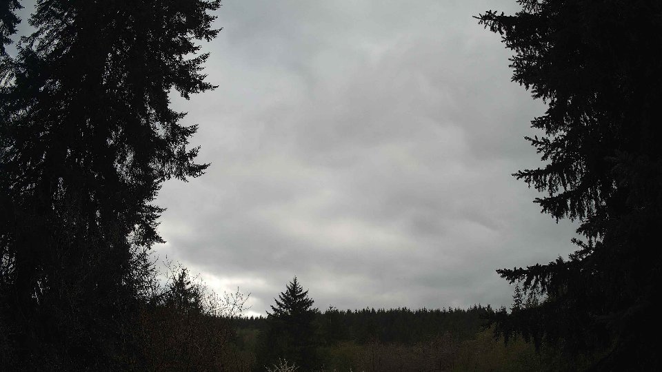
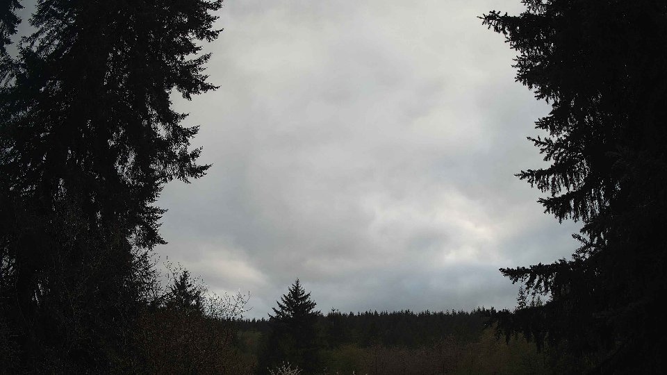
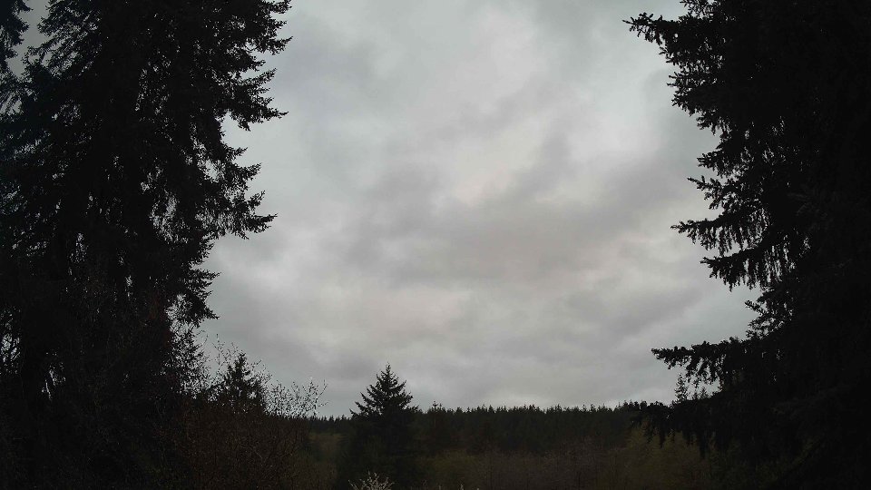
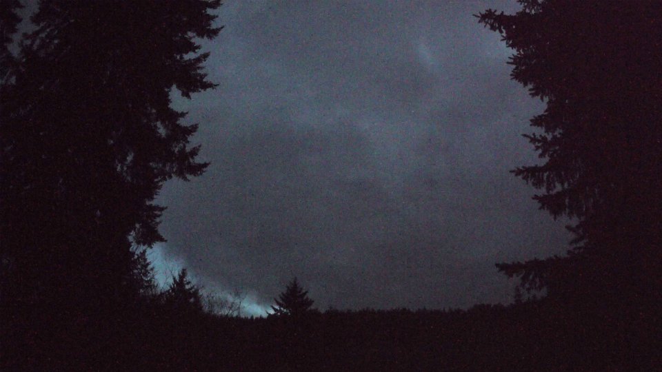
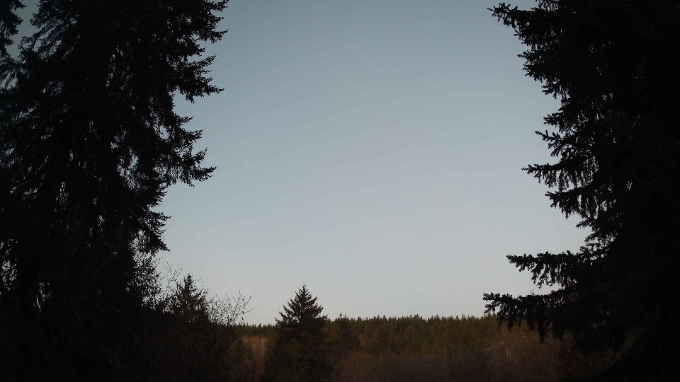
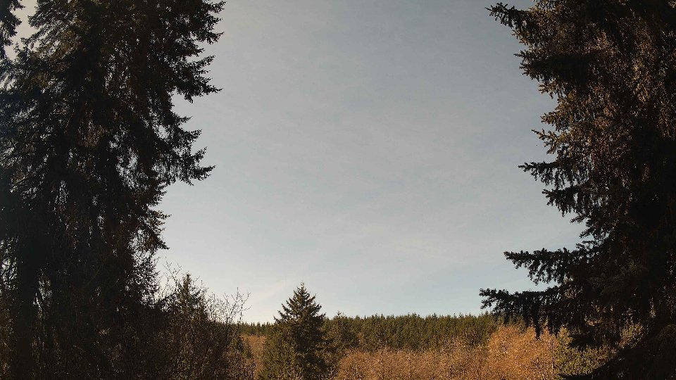
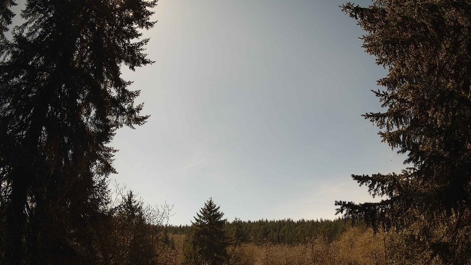
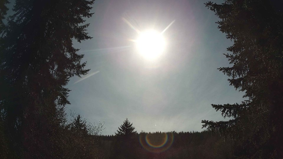
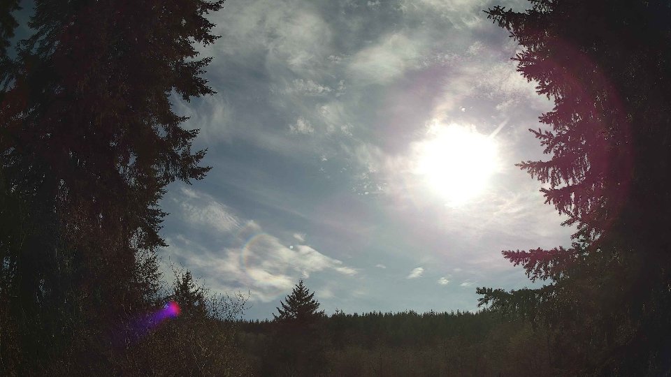
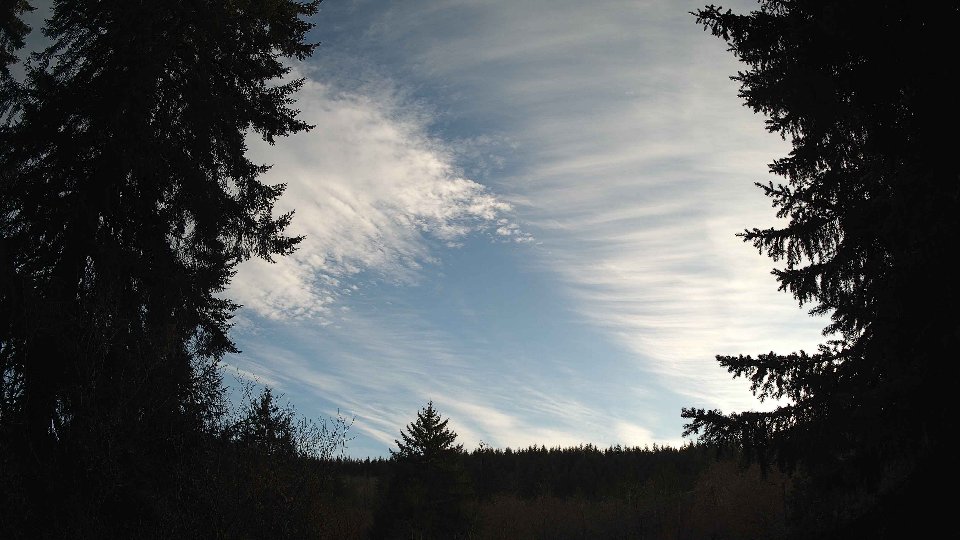
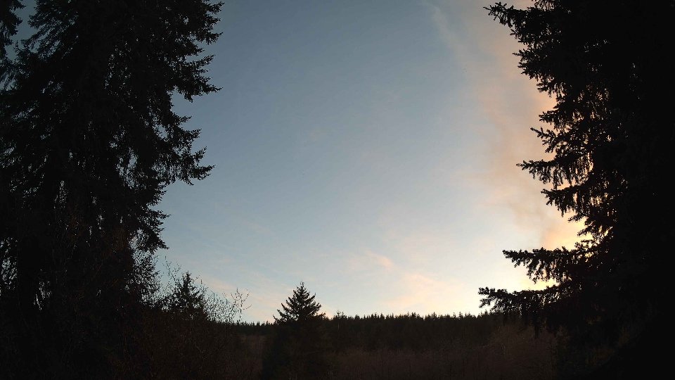
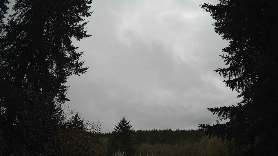
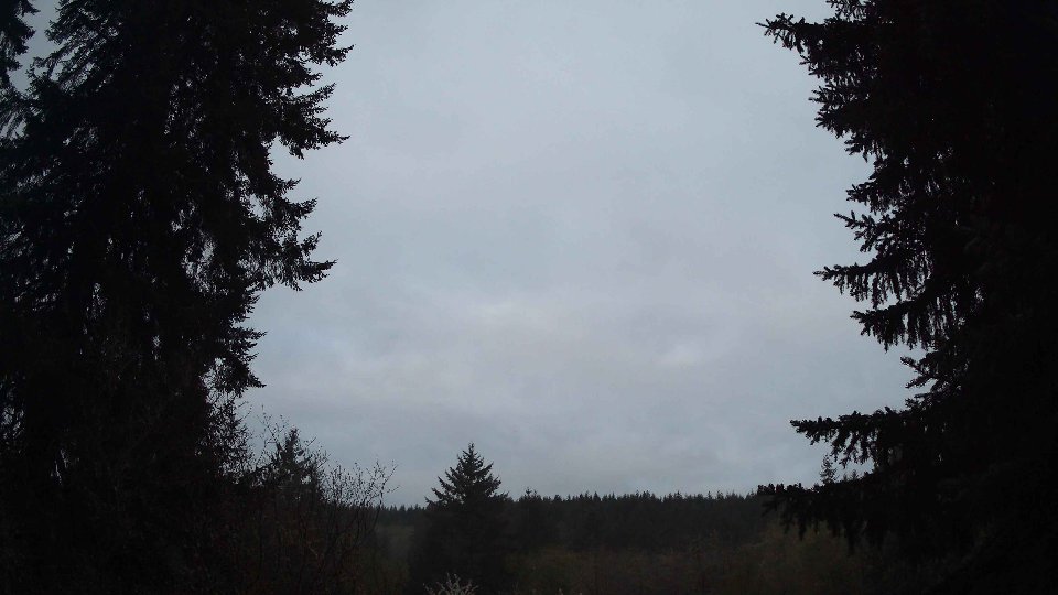
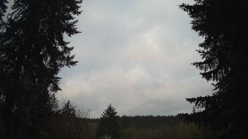
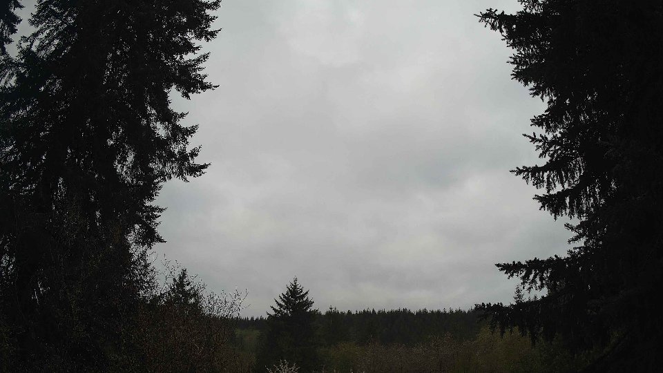
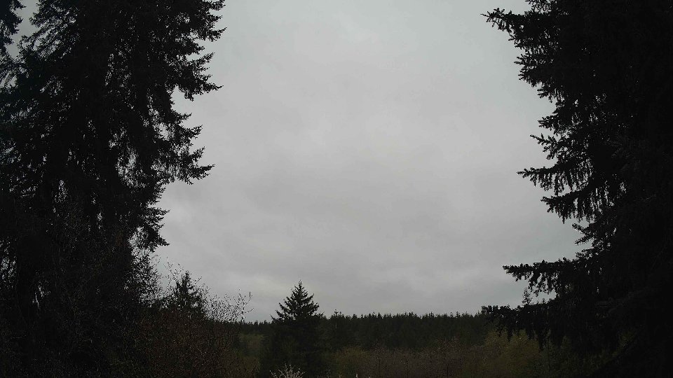
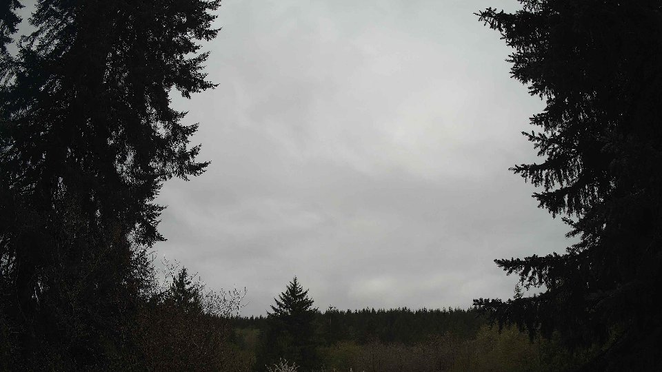
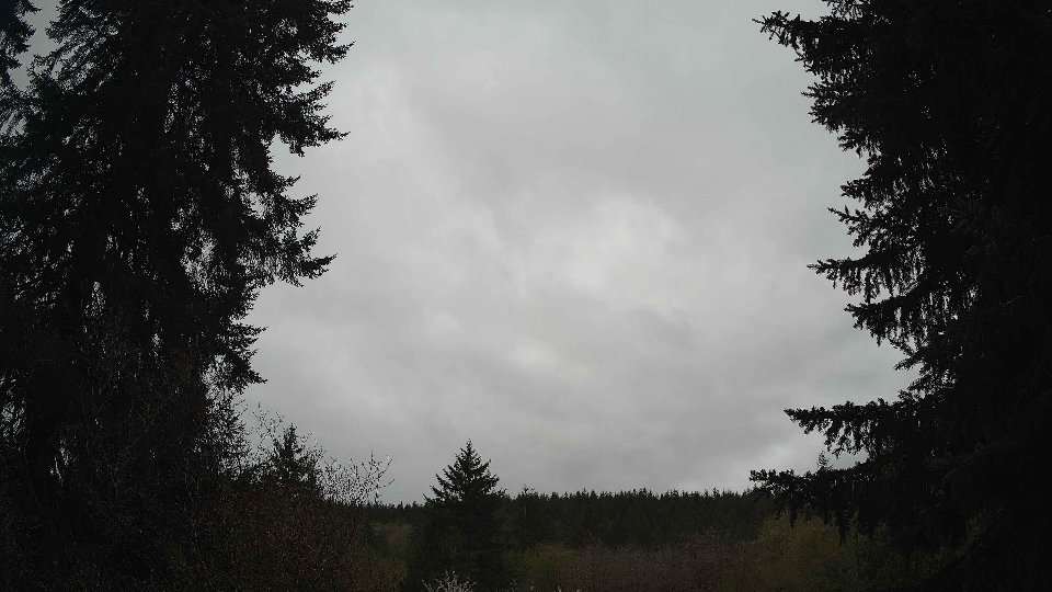
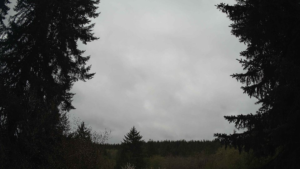
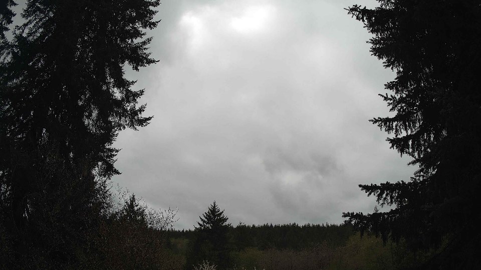
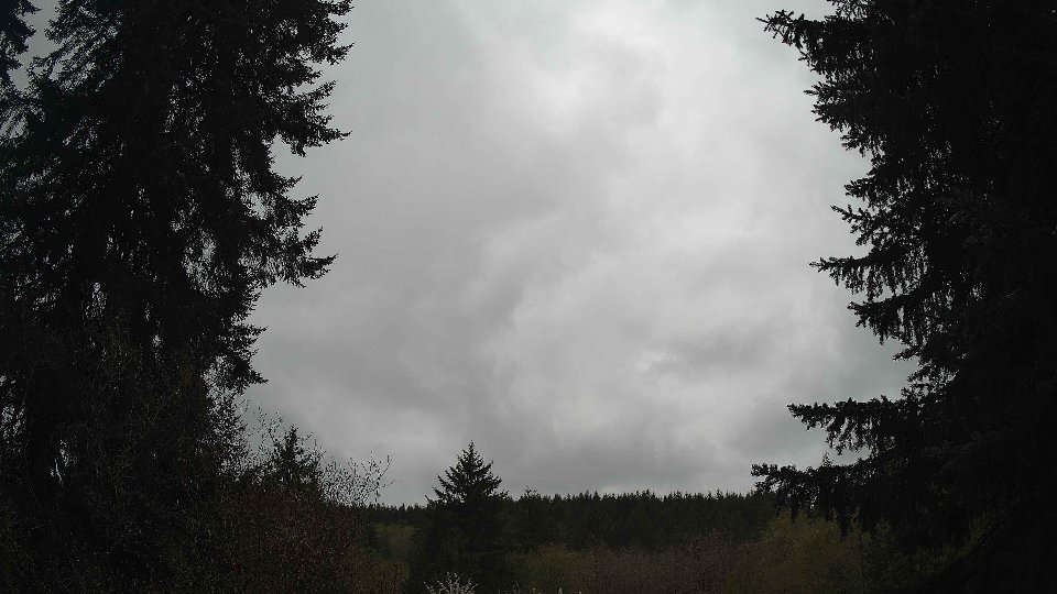
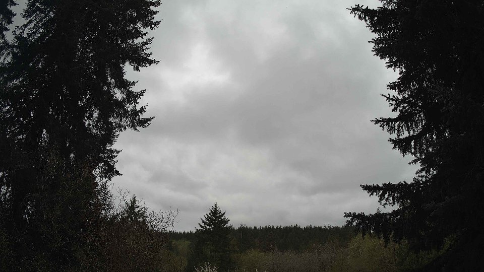
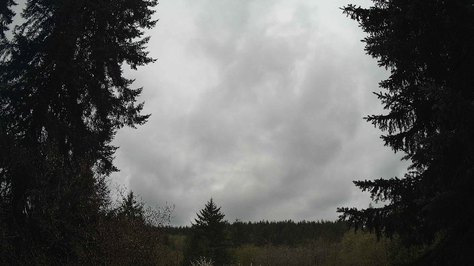
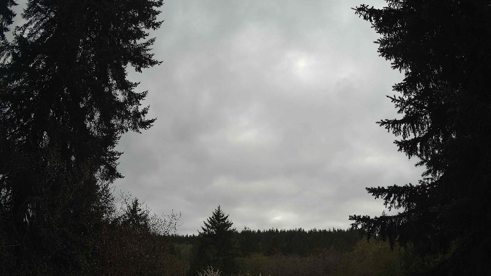
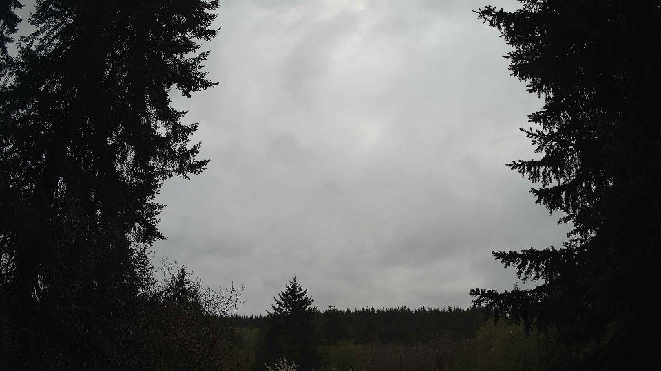
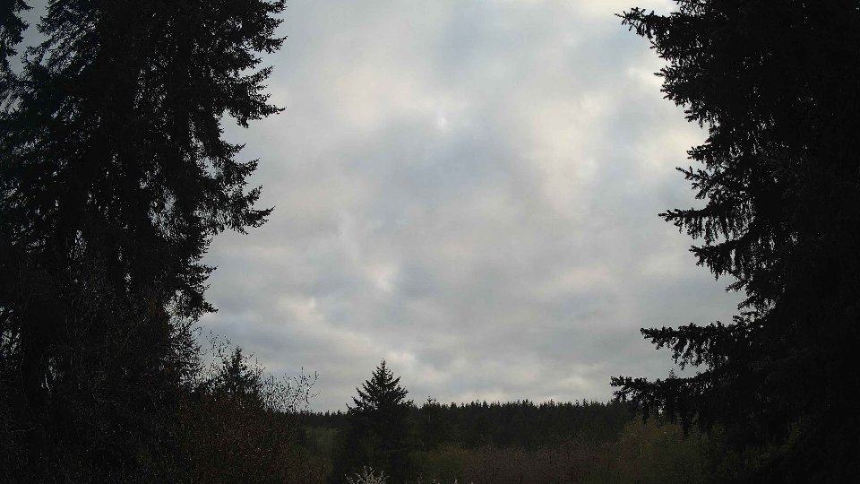
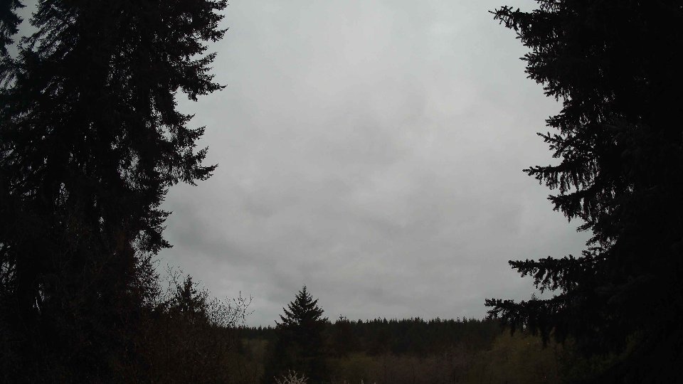
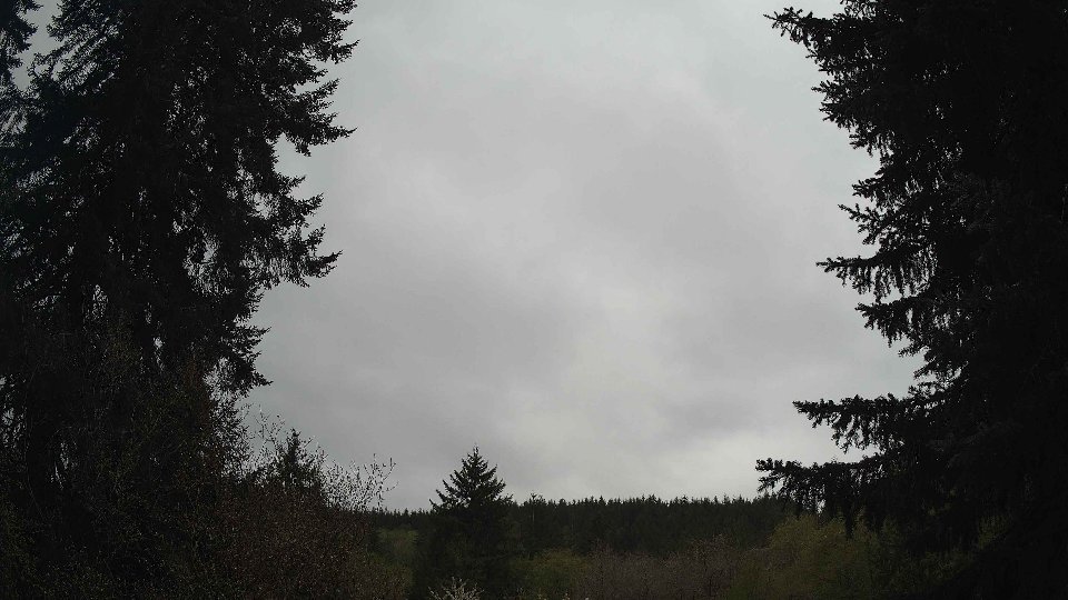
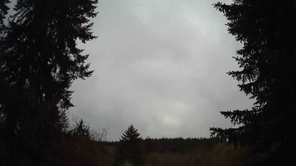
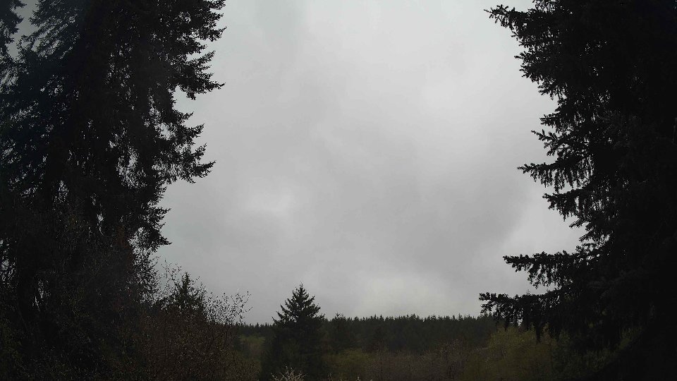
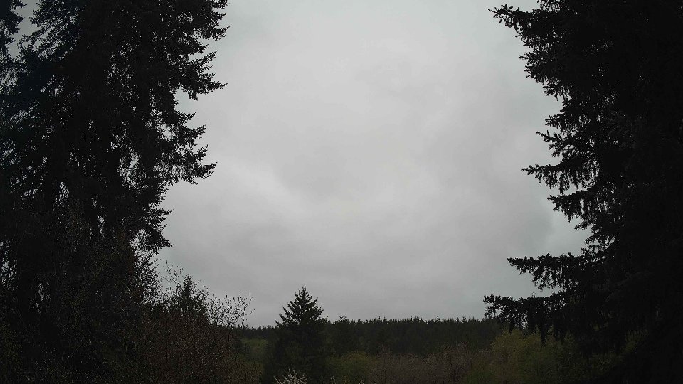
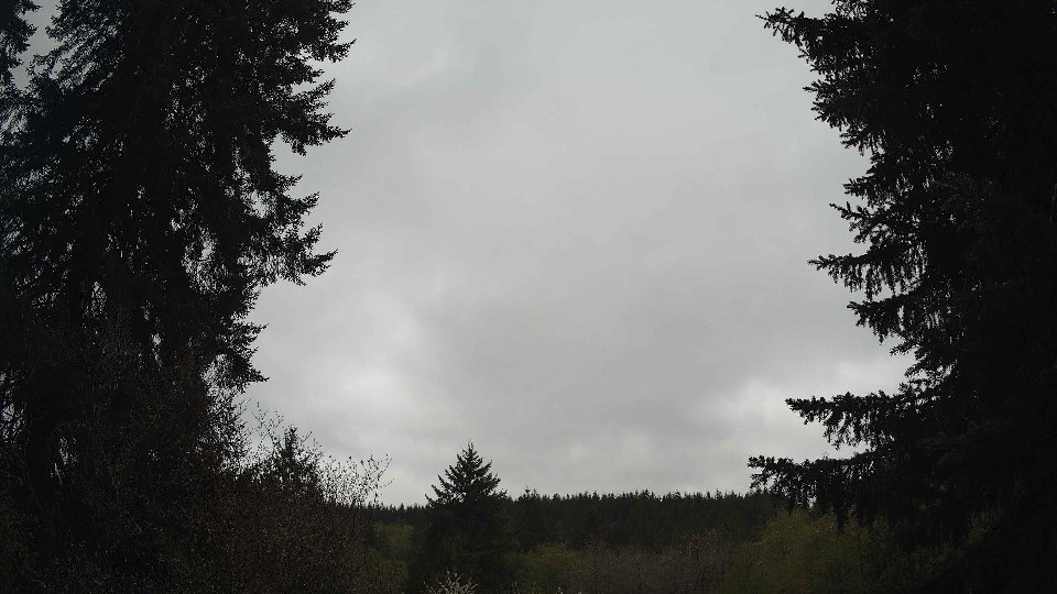
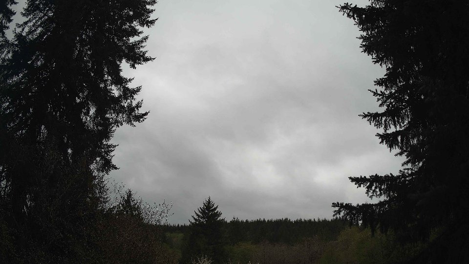
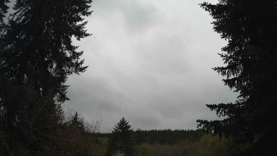
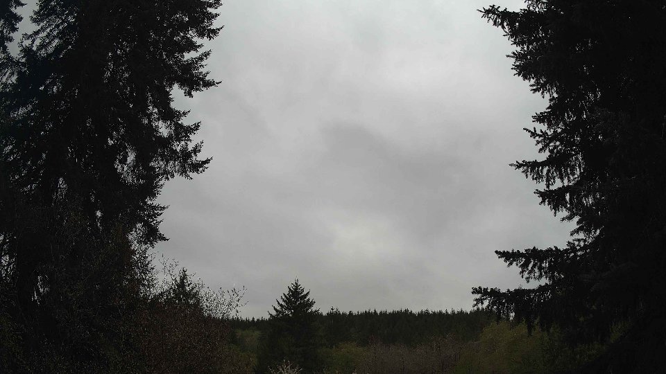
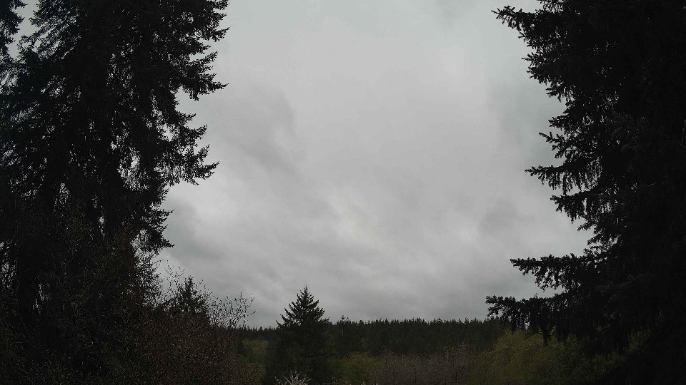
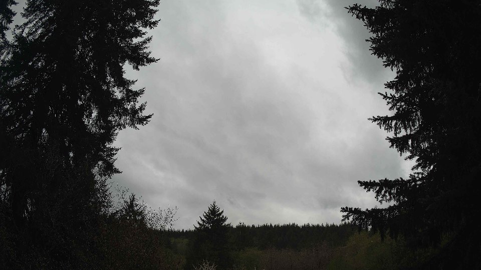
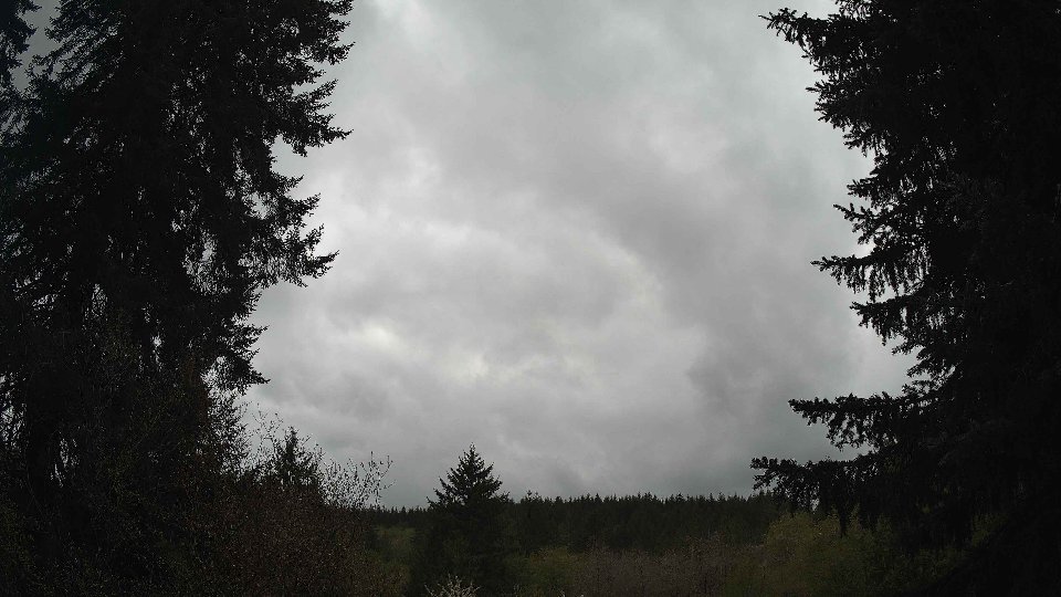
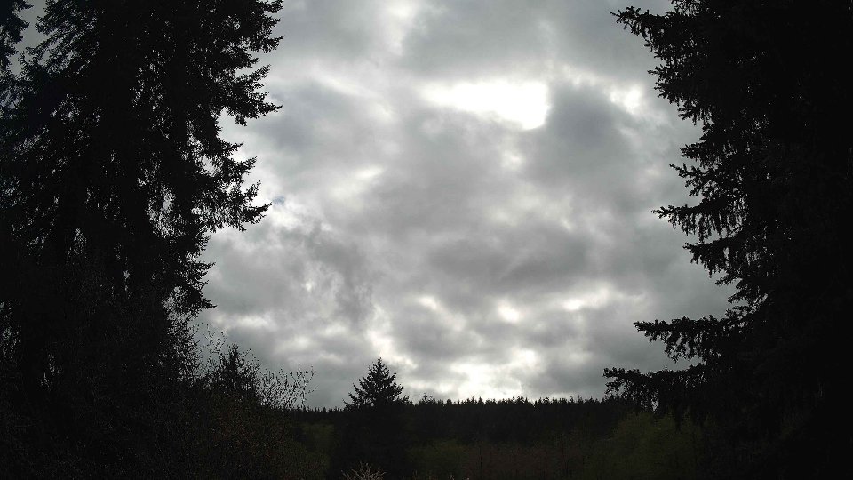
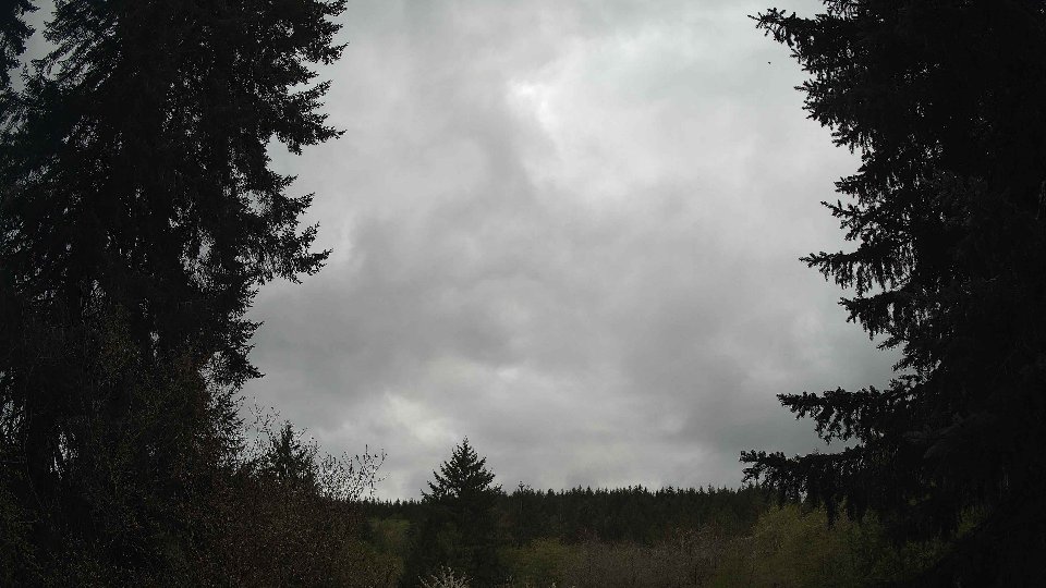
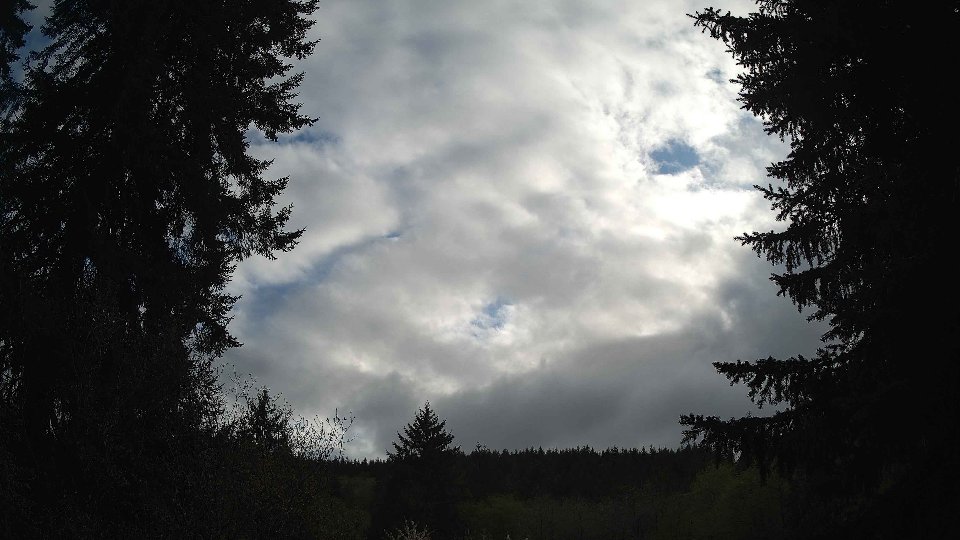
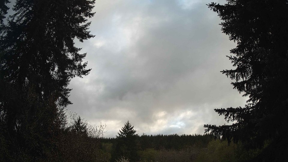
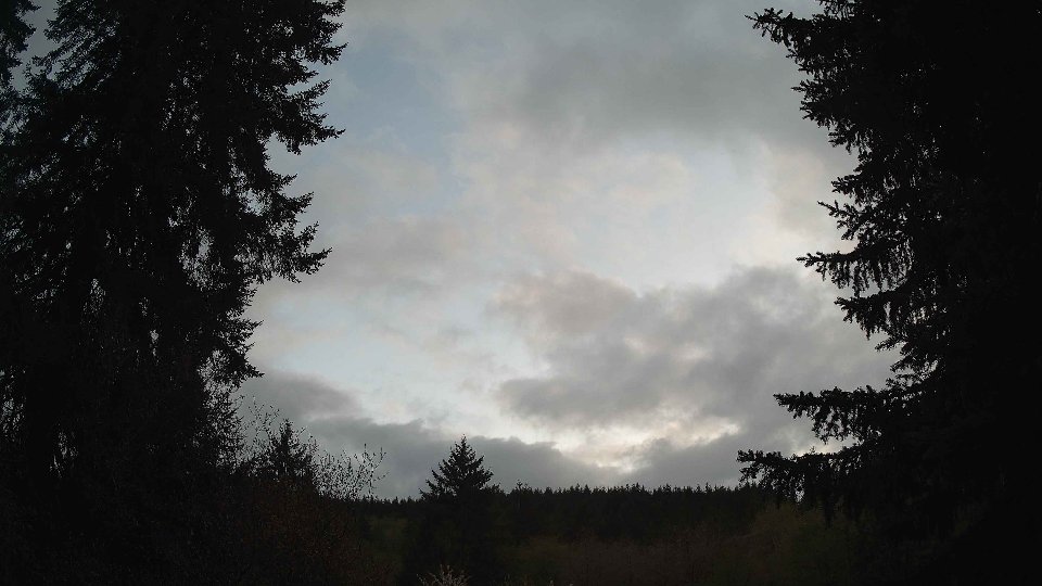
On April 21st, the morning began with a blanket of clouds that covered the sky entirely, as low clouds held at 99.4% and mid-level clouds reached 100%. At the surface, winds were gentle, averaging just 2.8 mph, while winds aloft at 100 meters were slightly stronger at 4.7 mph. This low-level calmness, coupled with the steady moisture in the atmosphere, resulted in light rain that accumulated to about 0.23 inches. As the air moved slowly, the low and mid-level clouds appeared to cling to their positions, creating a uniform gray backdrop that seemed to hang low over the landscape. There was little to no conflict between the wind layers at this time, maintaining stability in cloud formation, yet the gentle breeze at higher altitudes hinted at the dynamic potential as the day progressed.
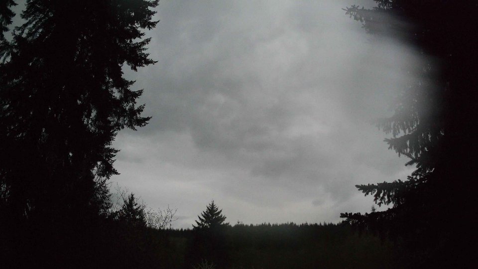
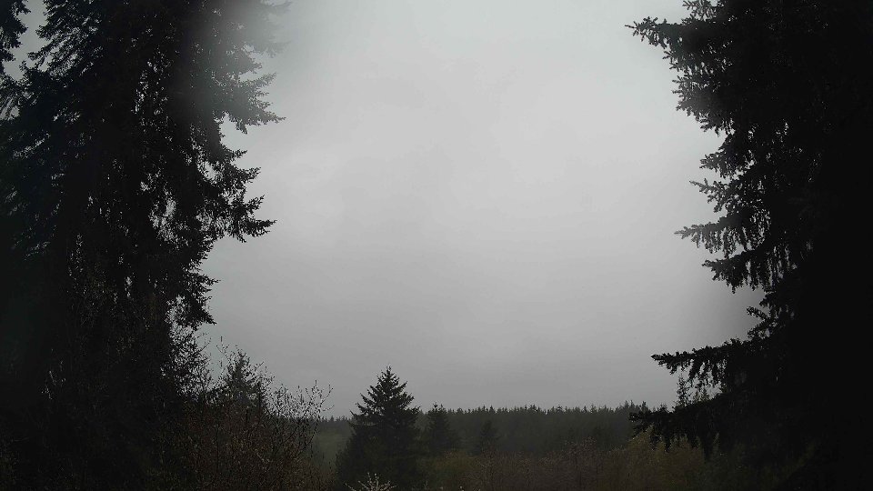
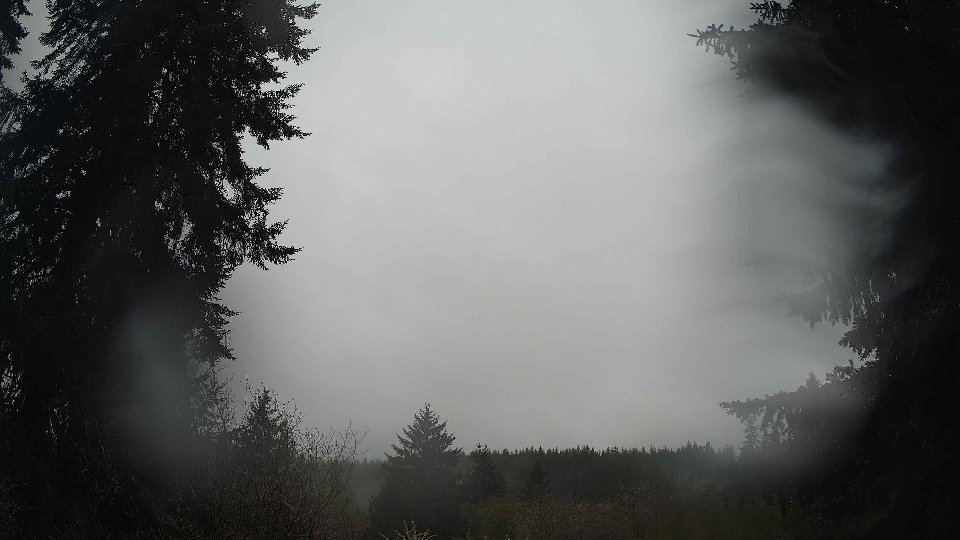
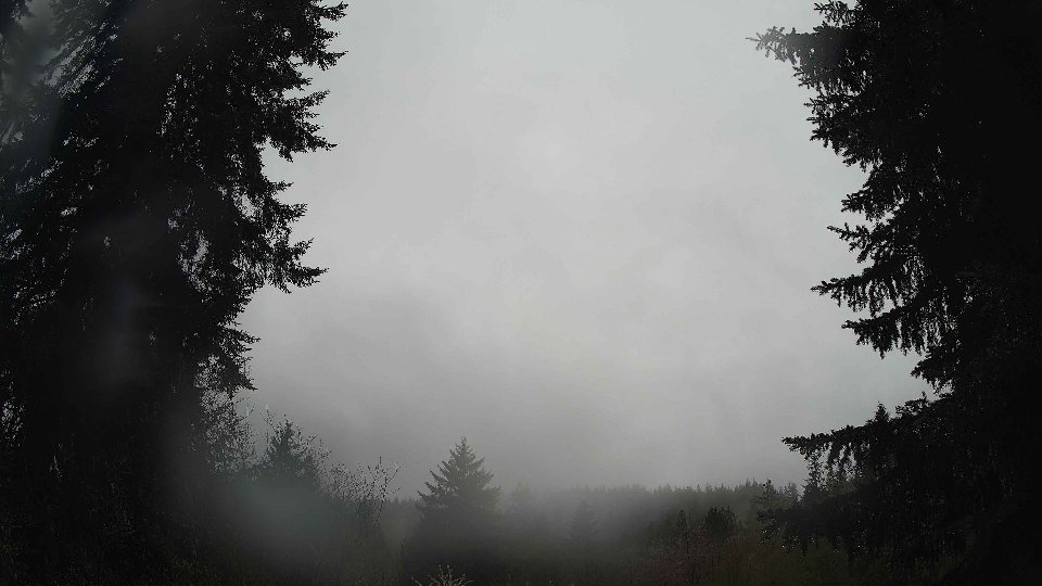
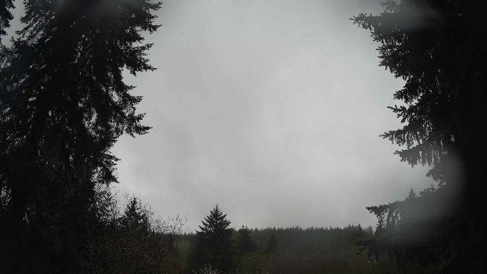
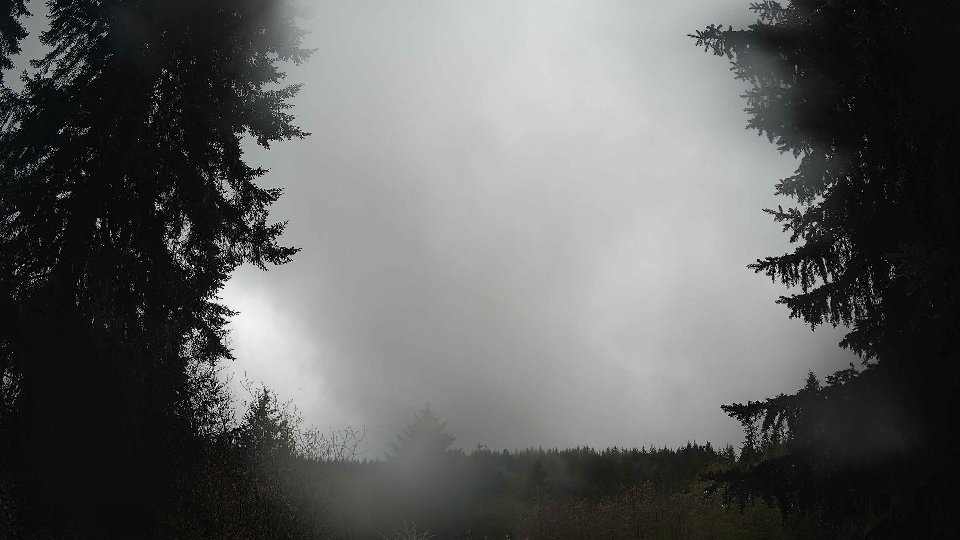
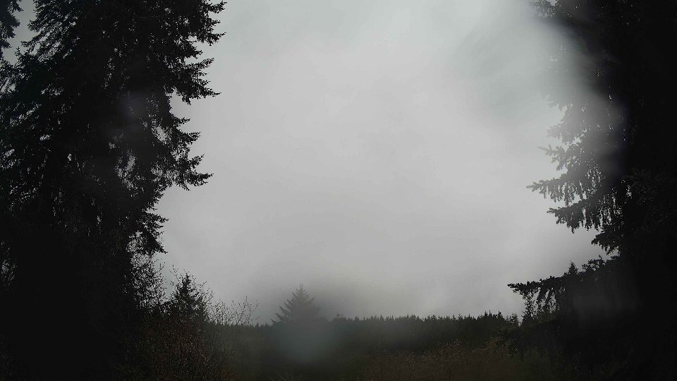
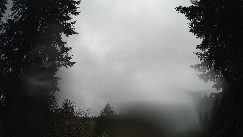
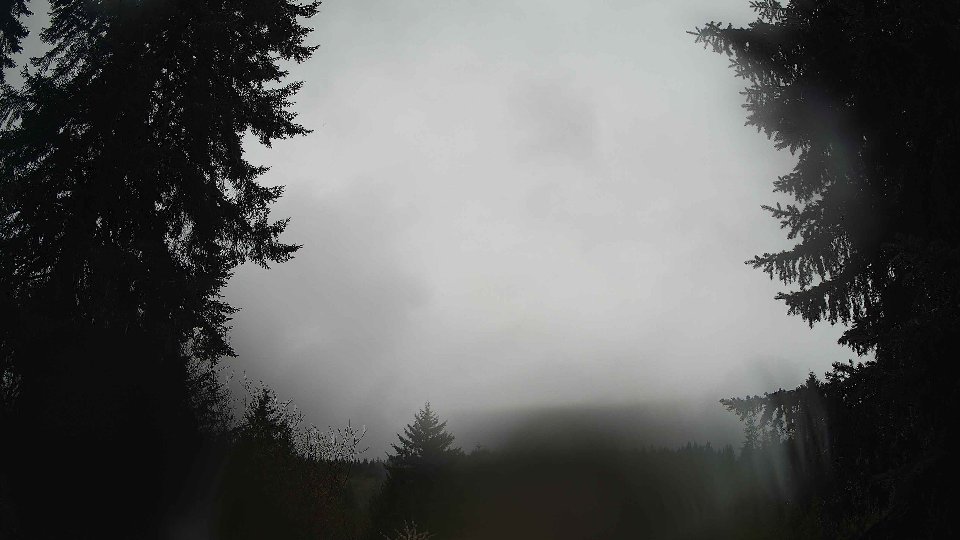
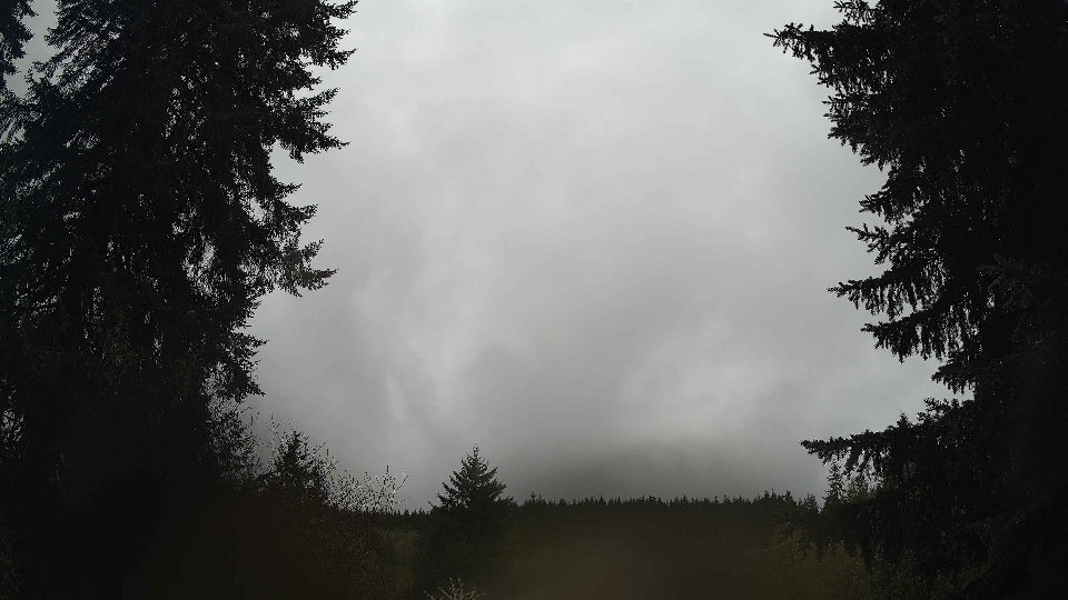
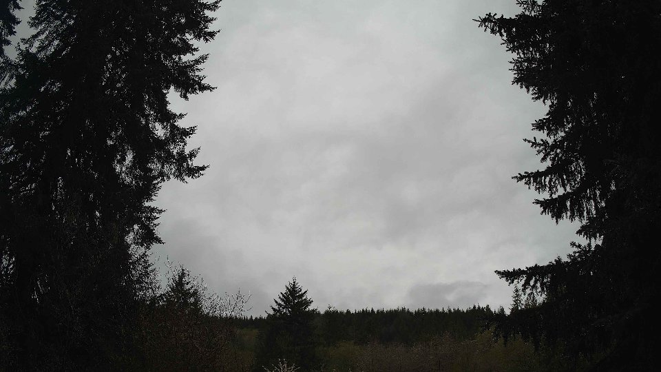
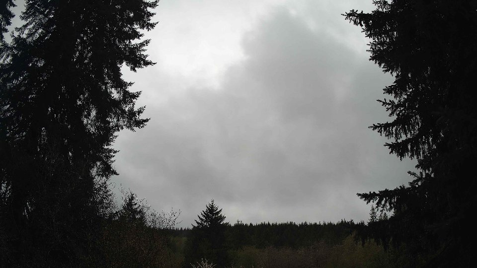
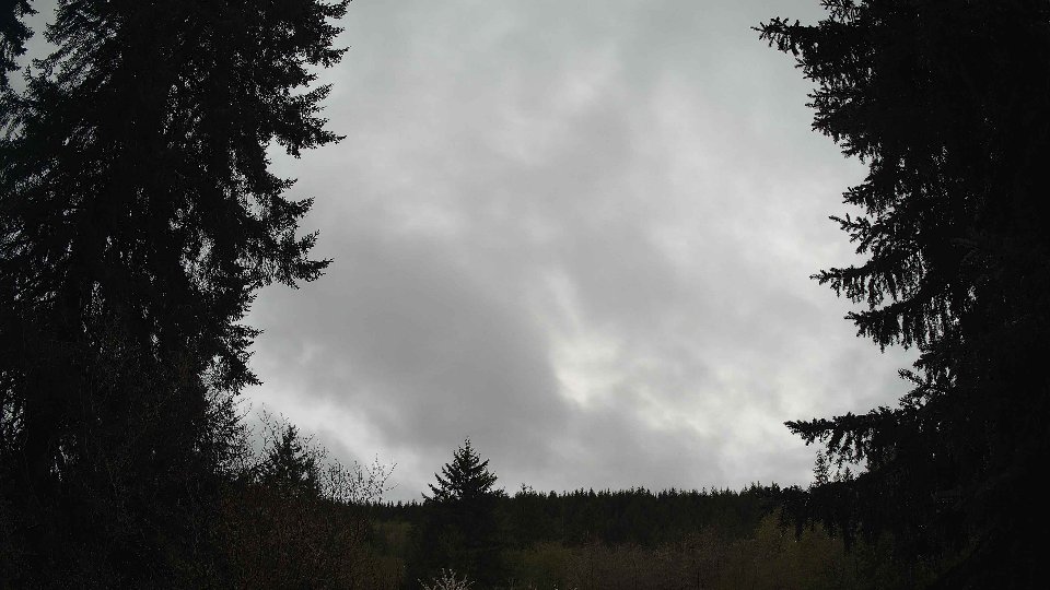
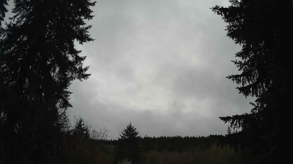
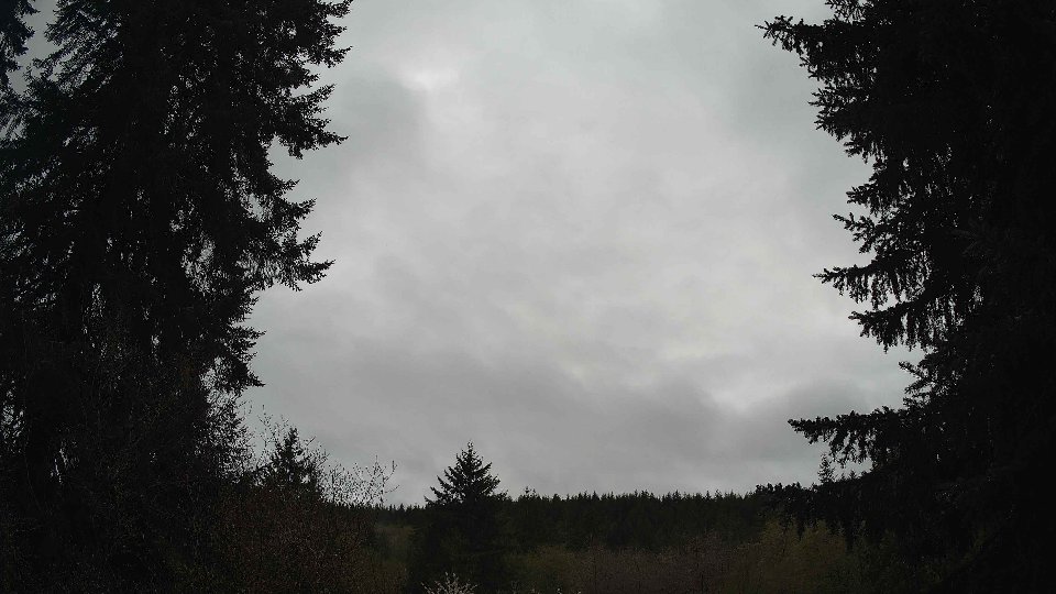
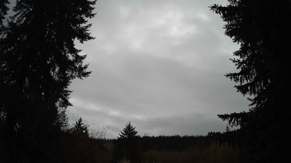
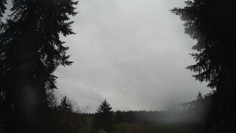
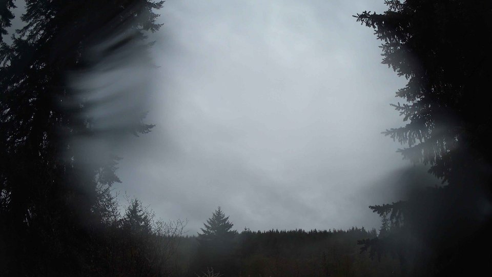
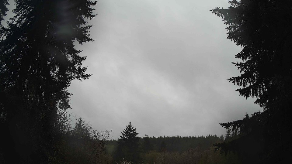
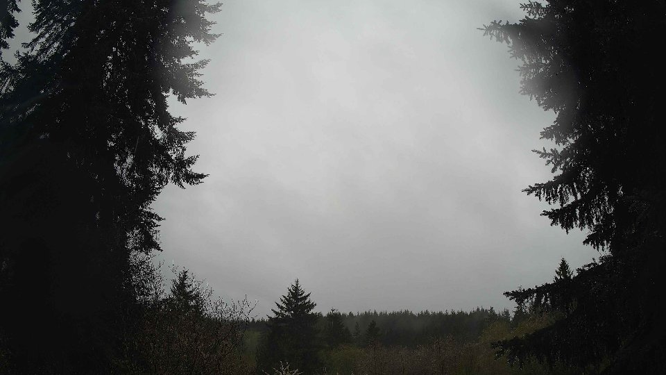
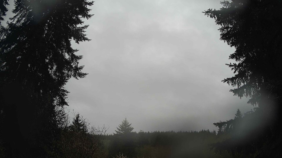
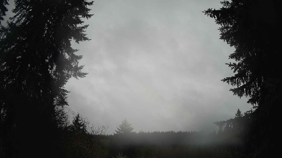
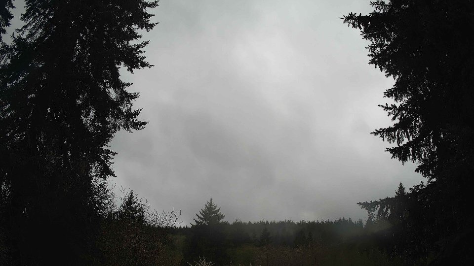
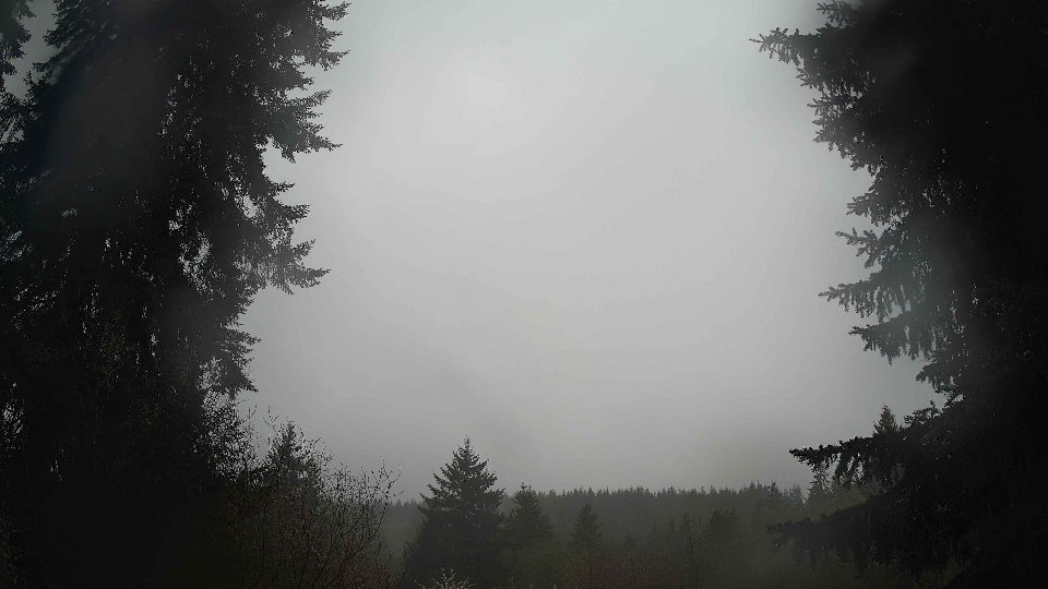
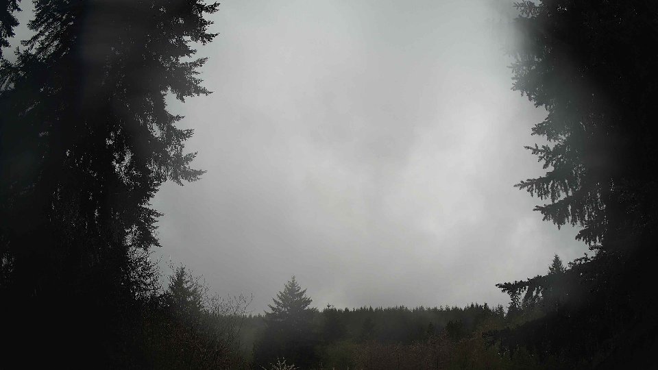
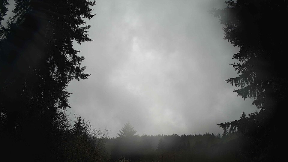
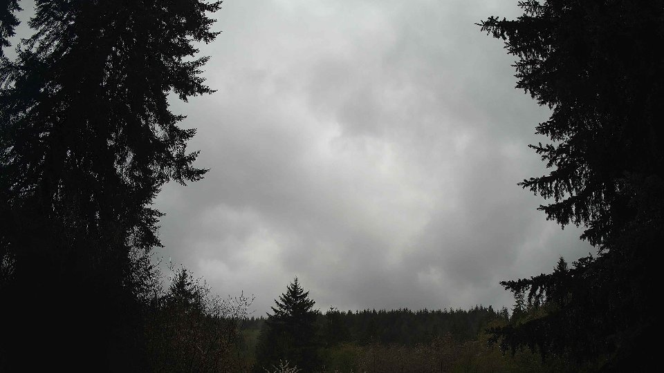
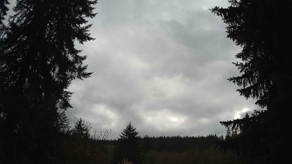
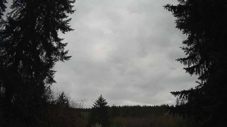
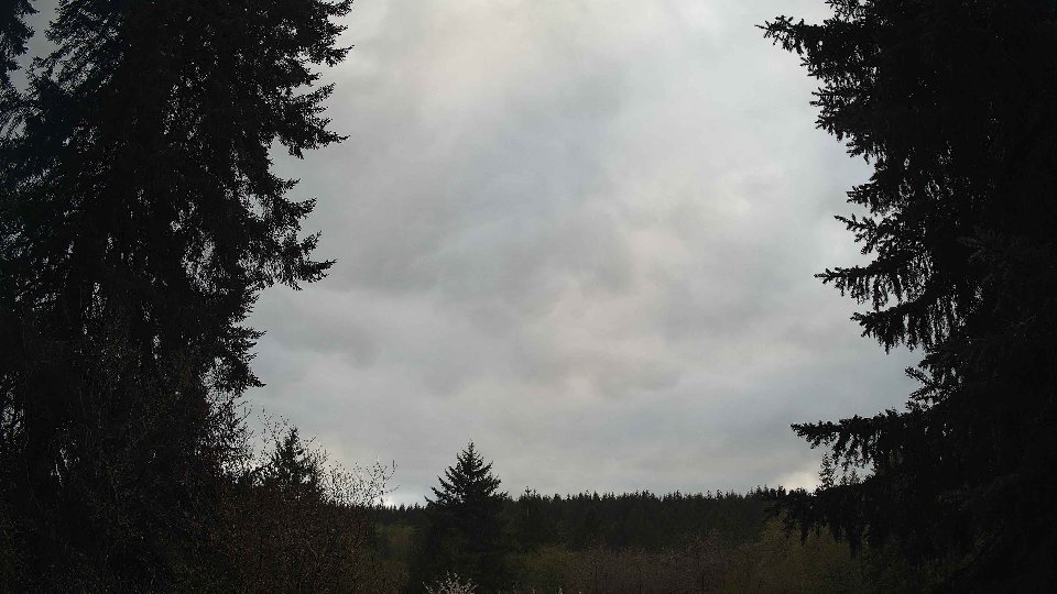
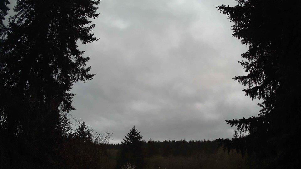
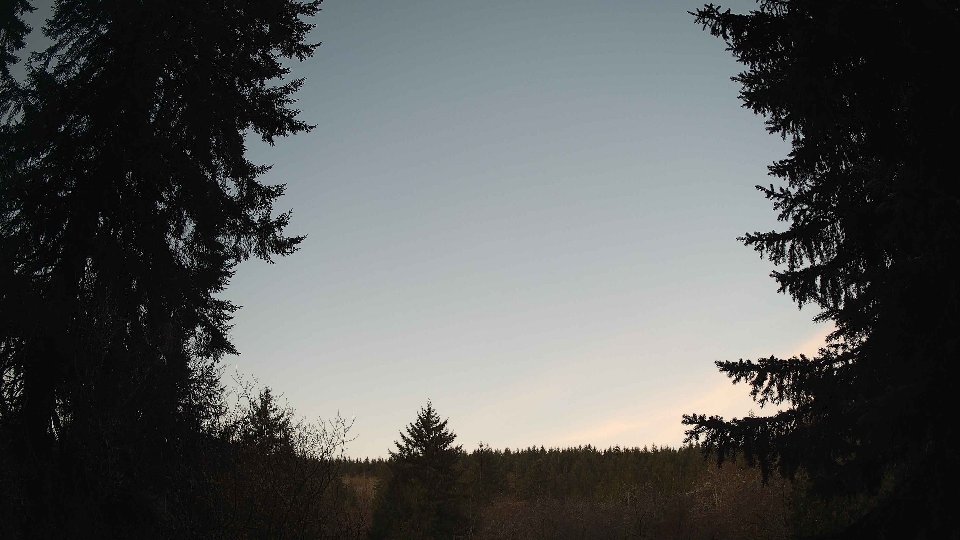
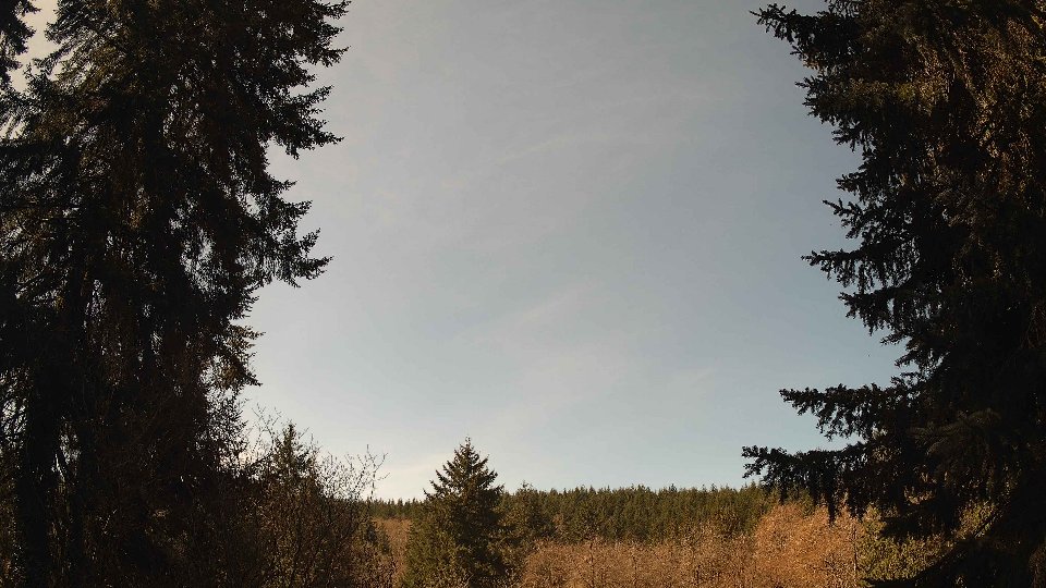
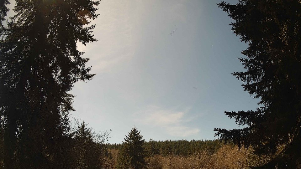
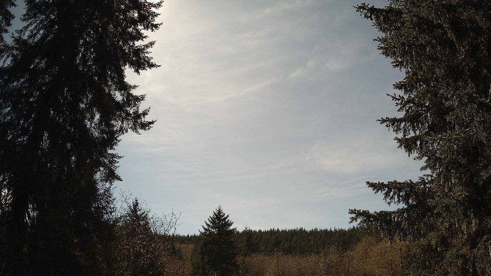
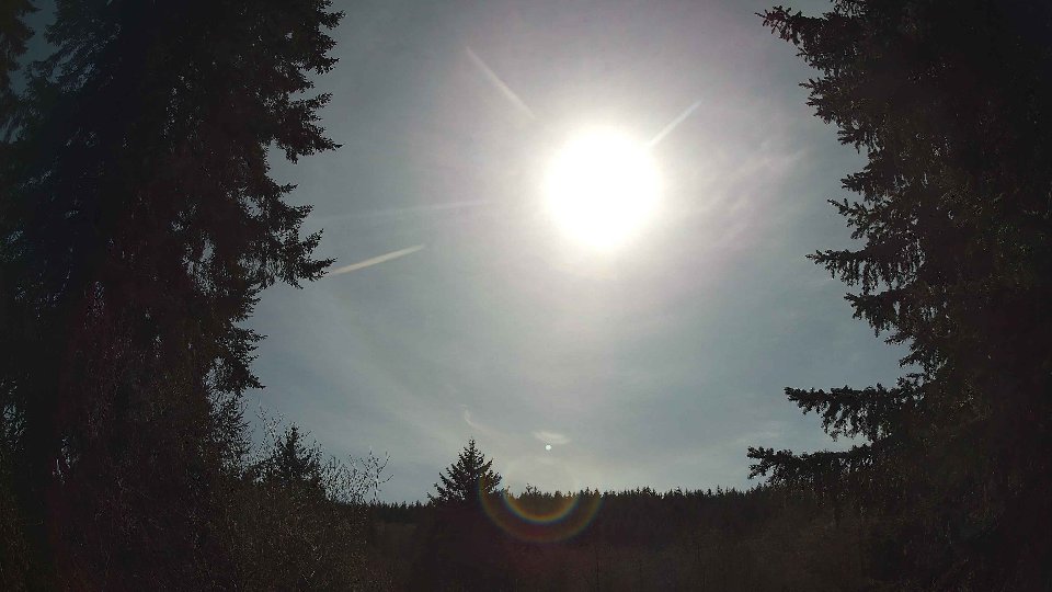
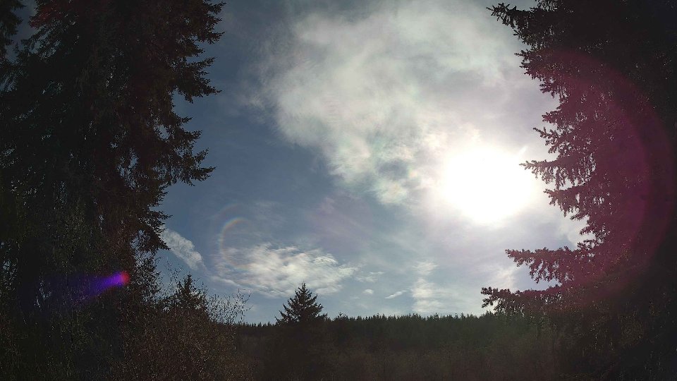
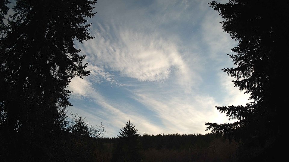
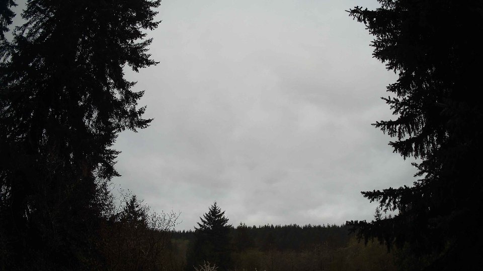
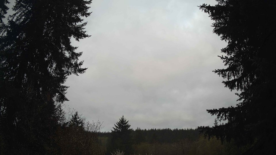
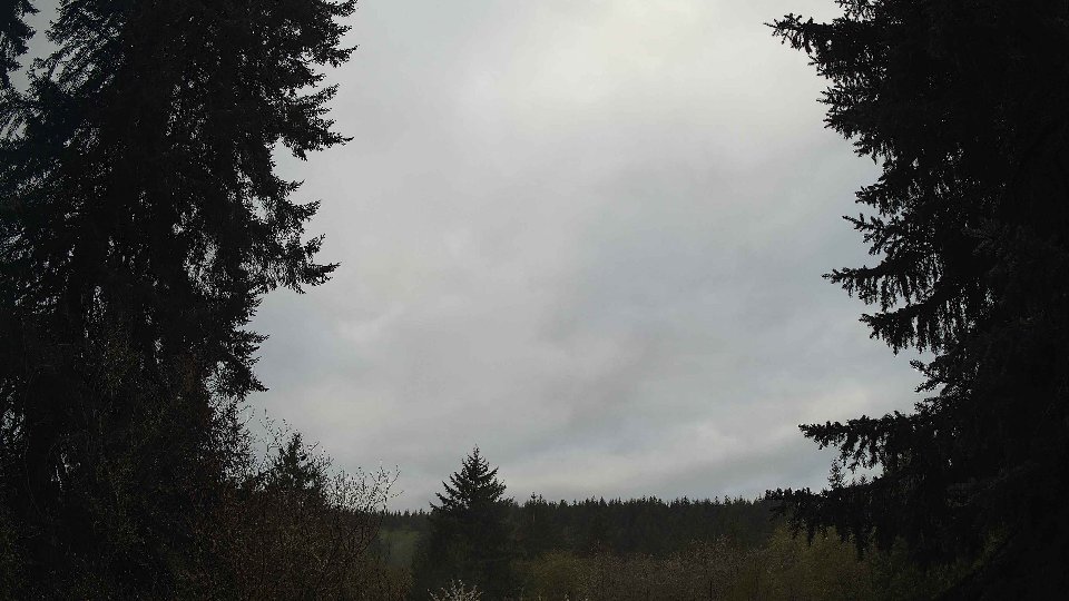
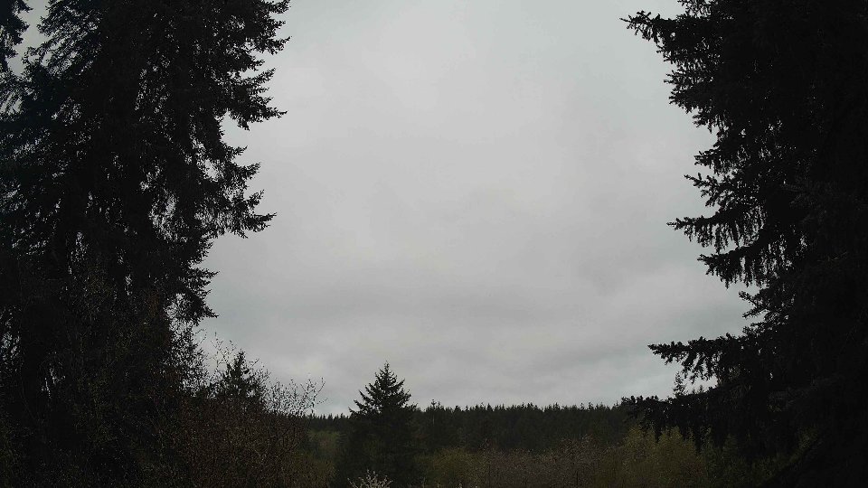
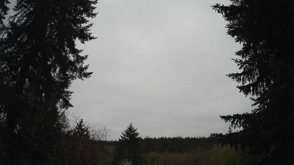
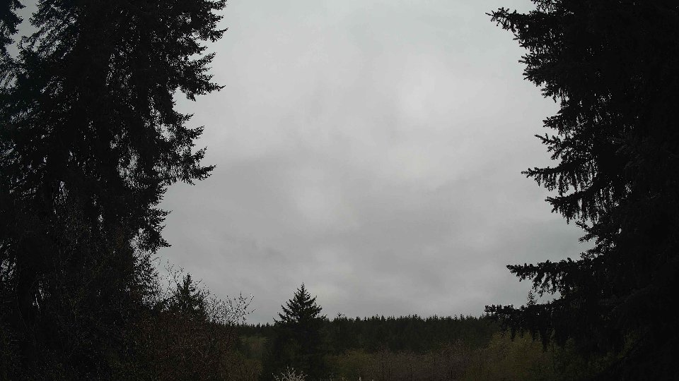
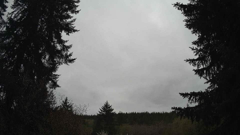
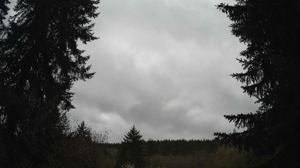
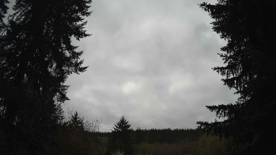
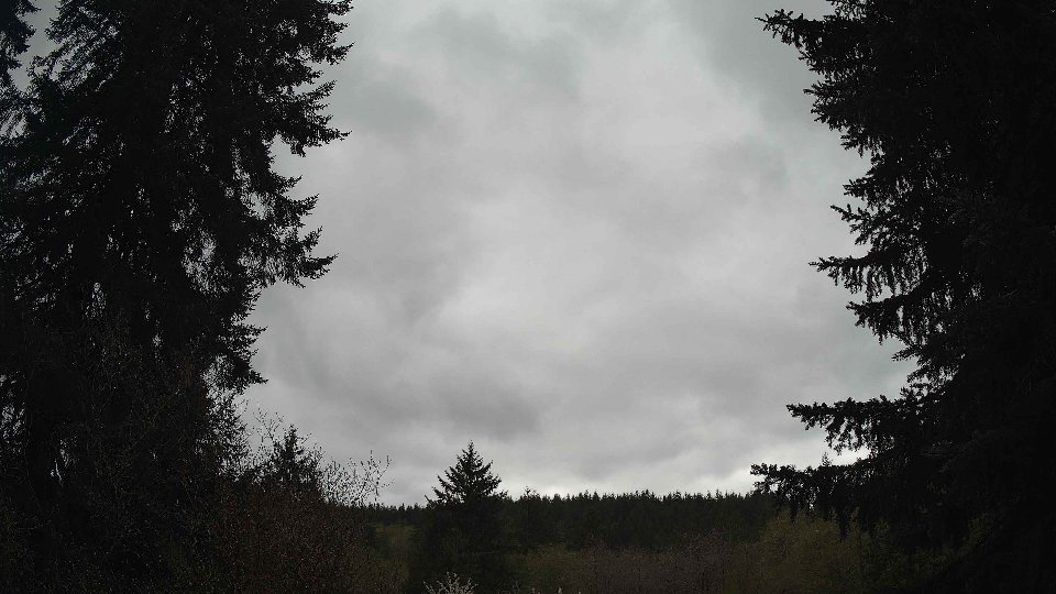
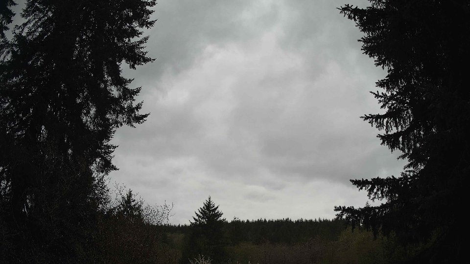
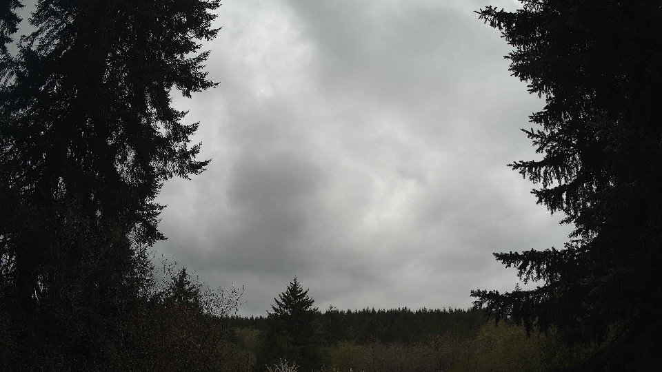
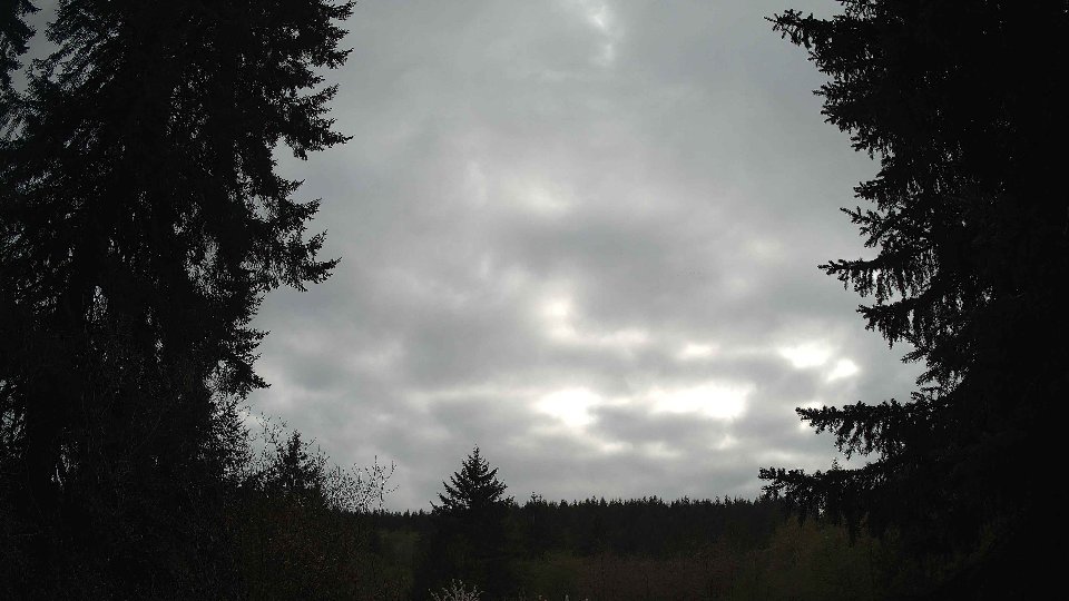
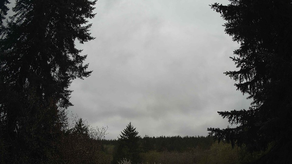
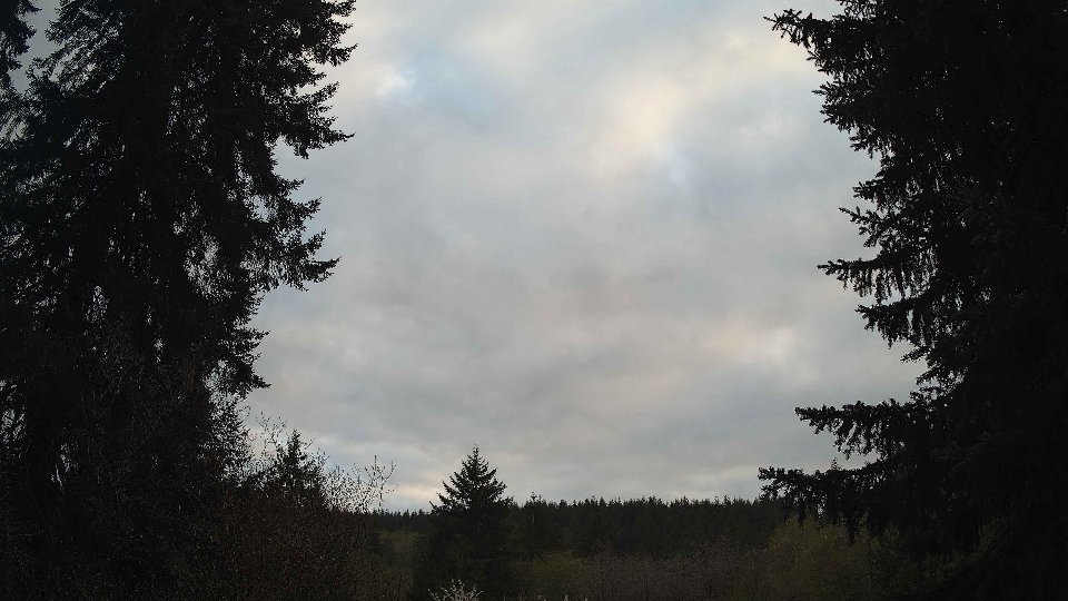
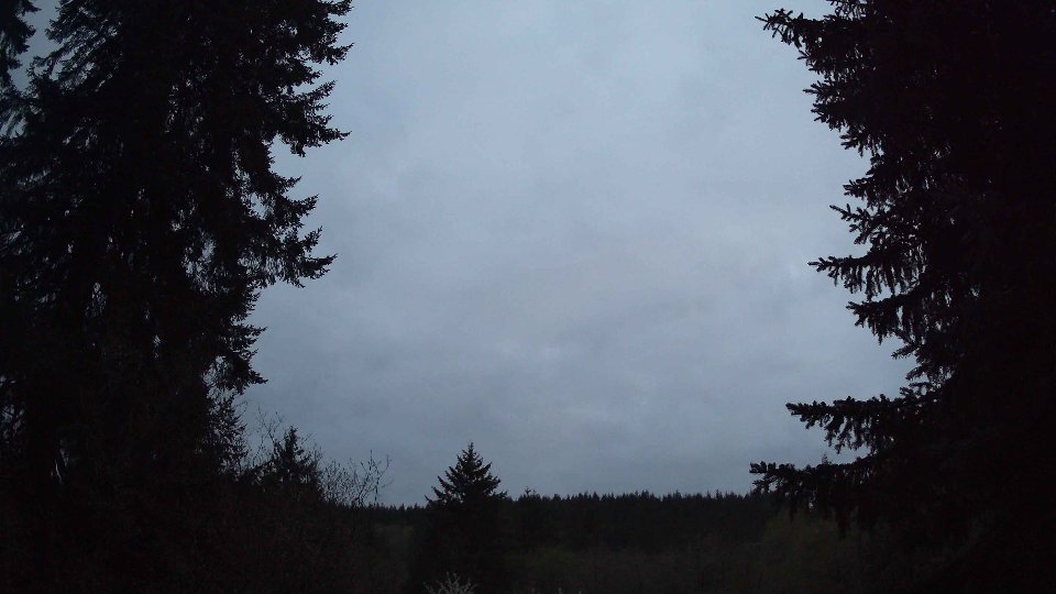
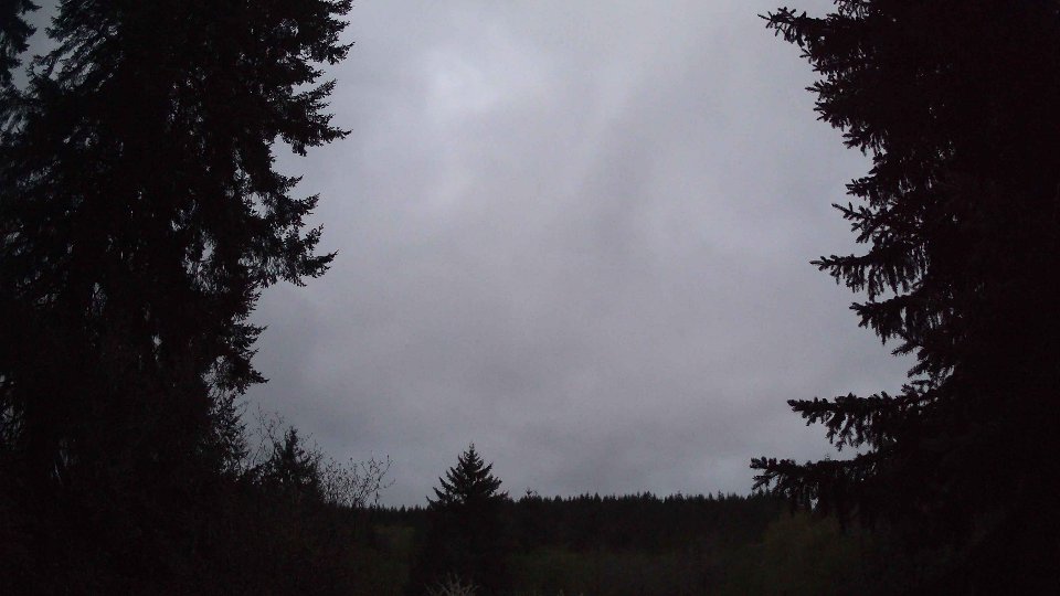
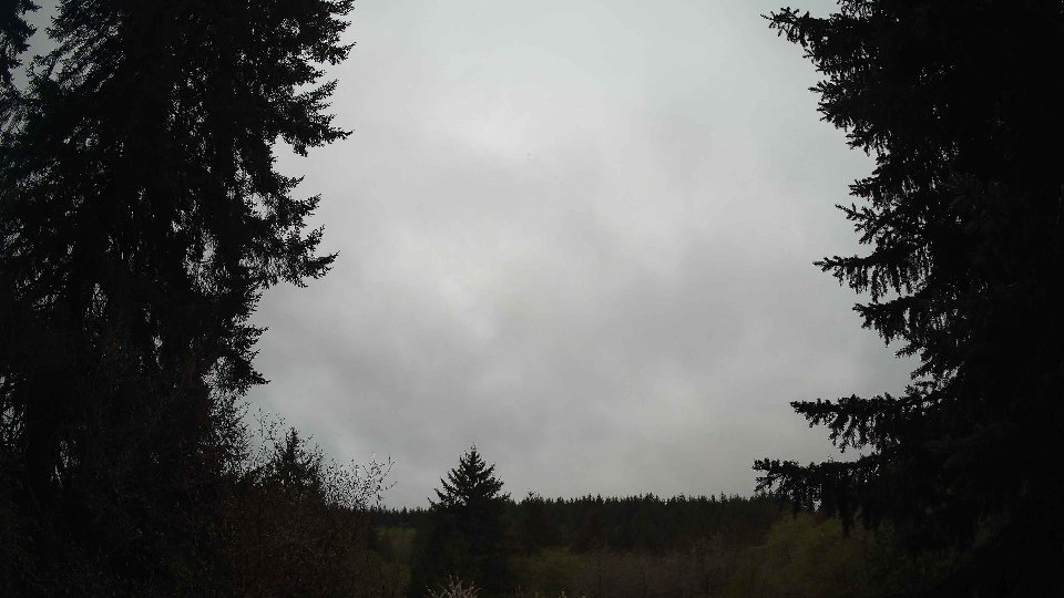
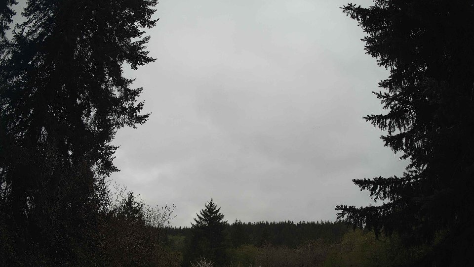
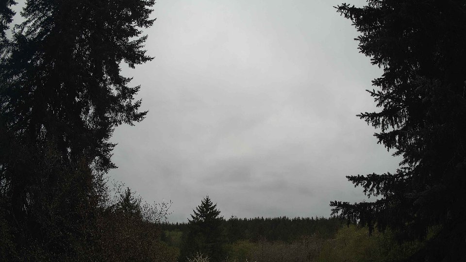
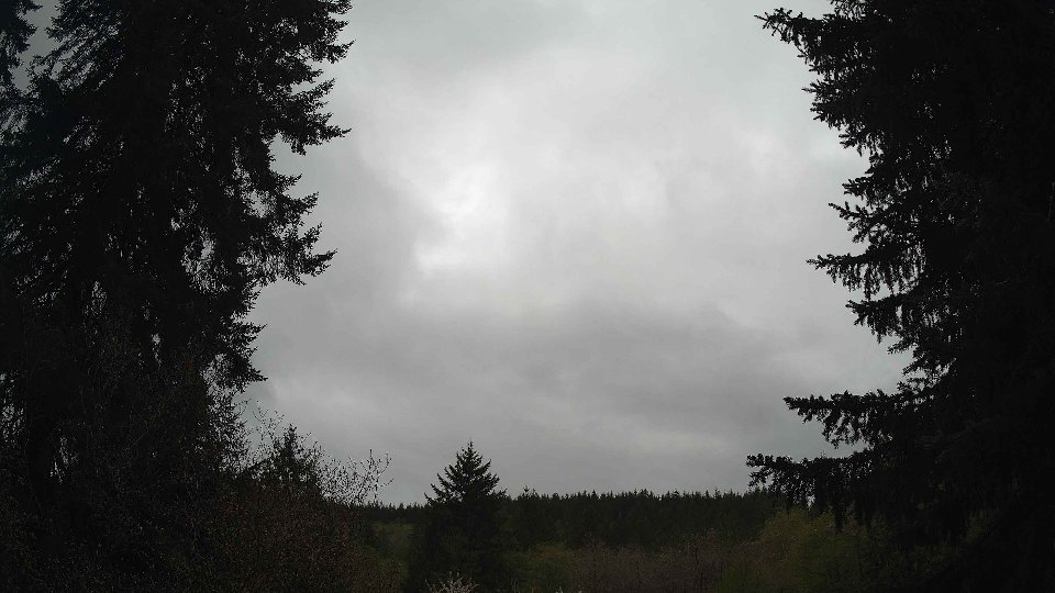
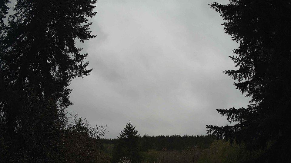
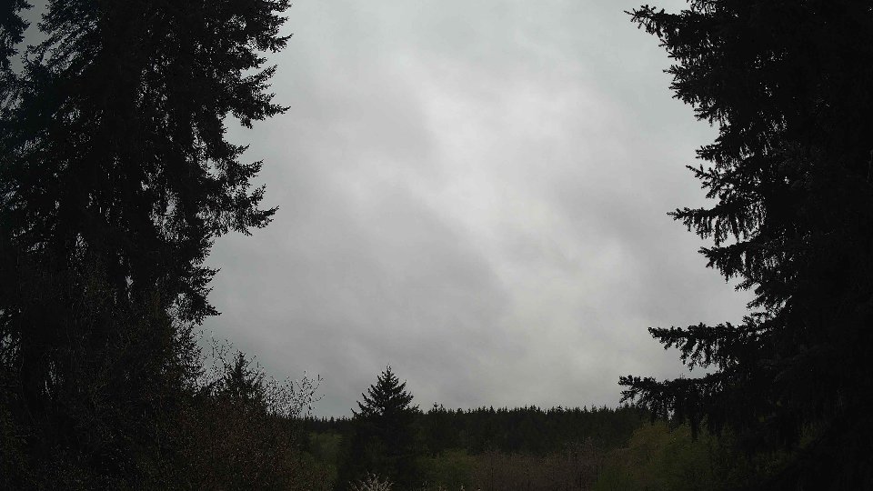
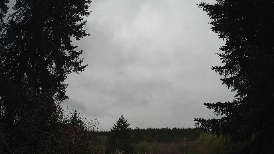
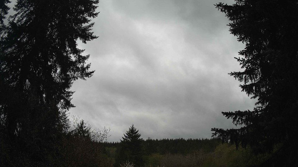
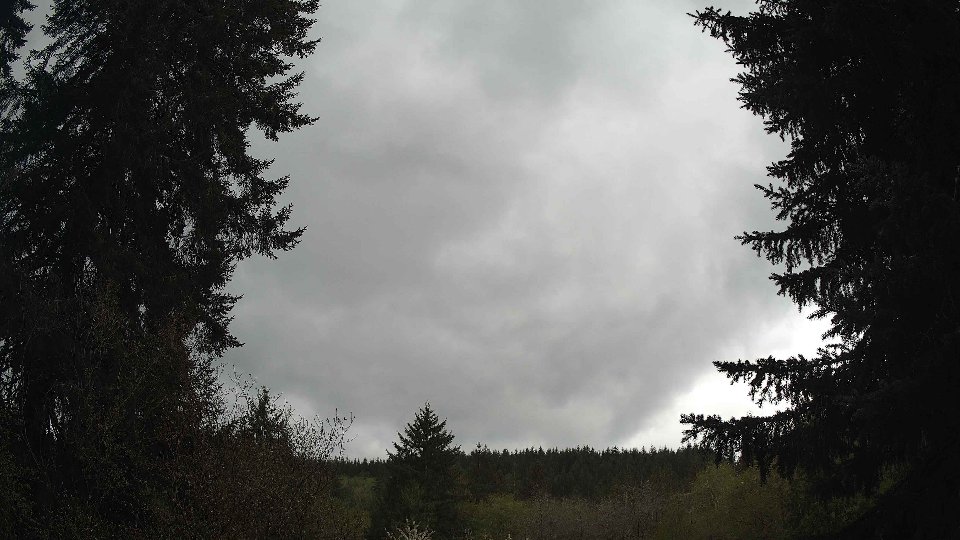
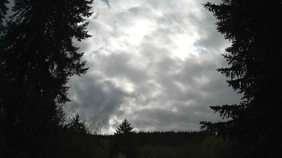
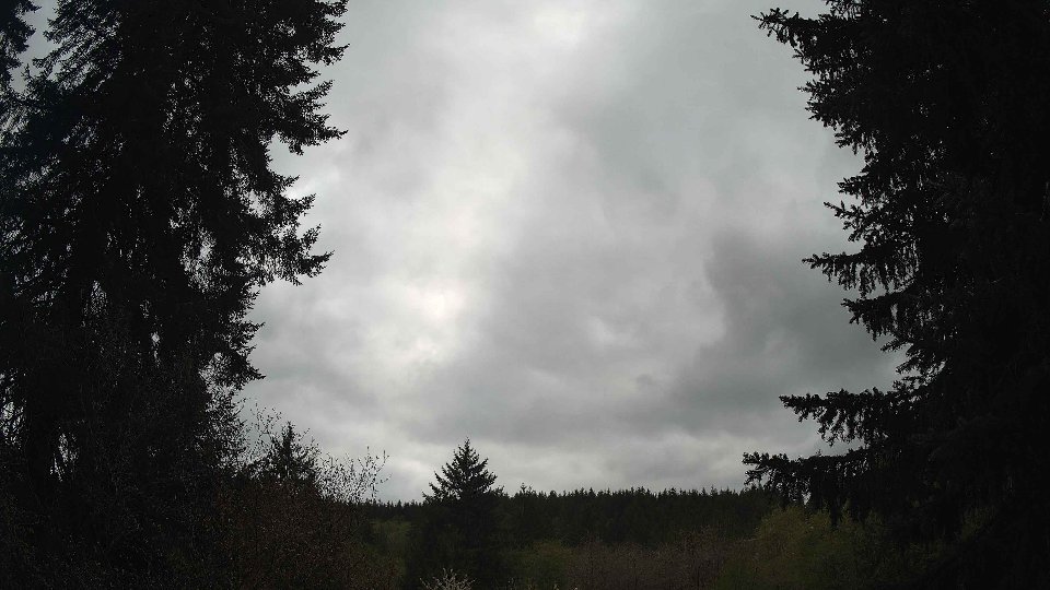
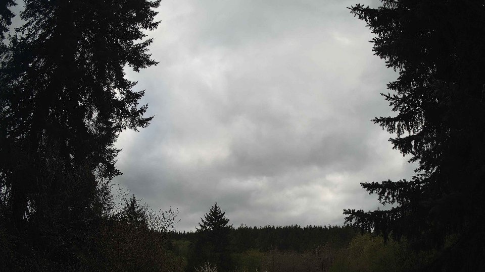
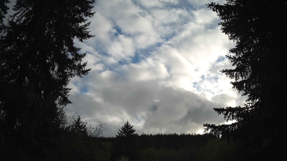
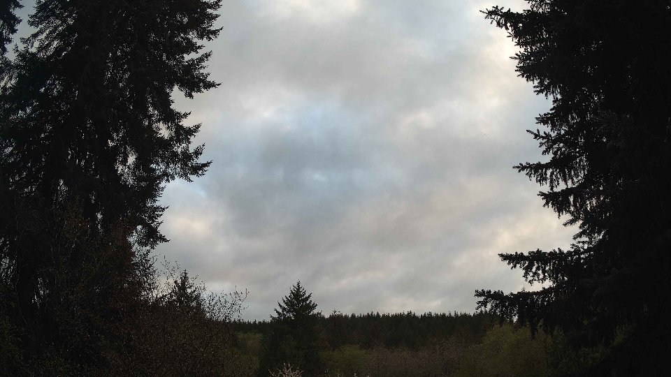
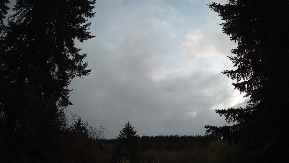
By midday, conditions evolved with surface winds increasing to 4.1 mph and winds at 100 meters rising to 5.8 mph. The cloud cover remained dense, with low clouds still completely filling the sky and mid-cloud cover also holding at 100%. However, the high clouds began to thin slightly to 97.8%, allowing for a faint glimmer of light to filter through. This shift in visibility coincided with the gradual strengthening of wind aloft, which started to create some turbulence due to the differences in speed and direction between layers. Despite the overall stability, the interaction between the surface winds and those at altitude resulted in a more dynamic cloud movement, with some clouds beginning to shift and morph. Light rain continued to fall, accumulating an additional 0.14 inches, contributing to the persistent dampness in the air.
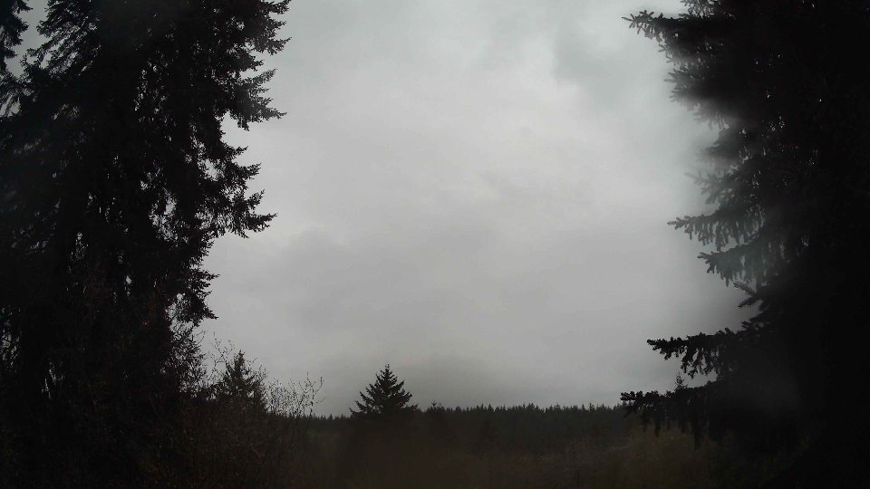
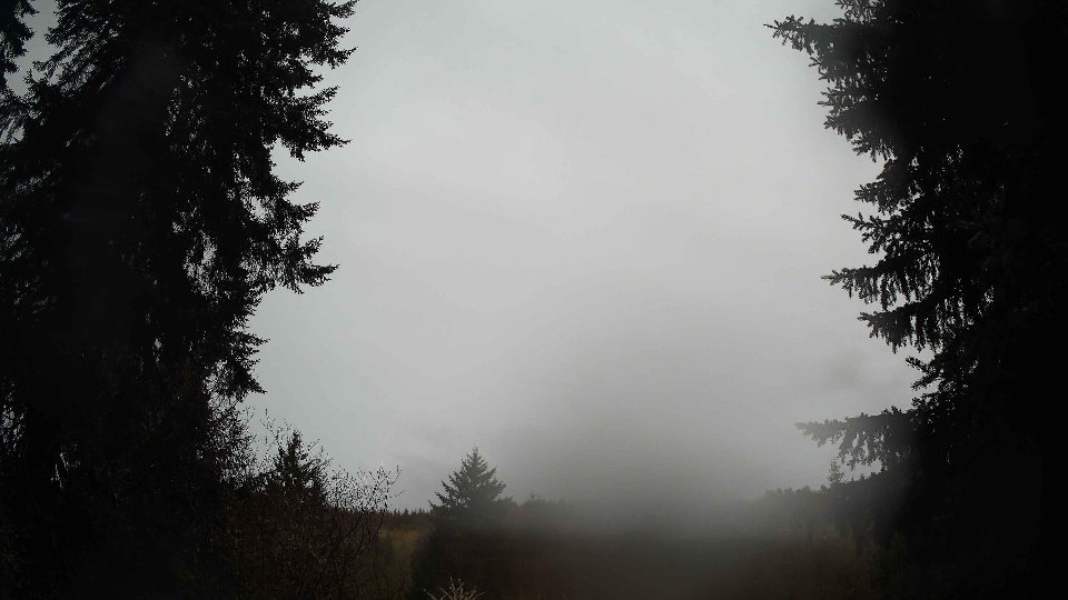
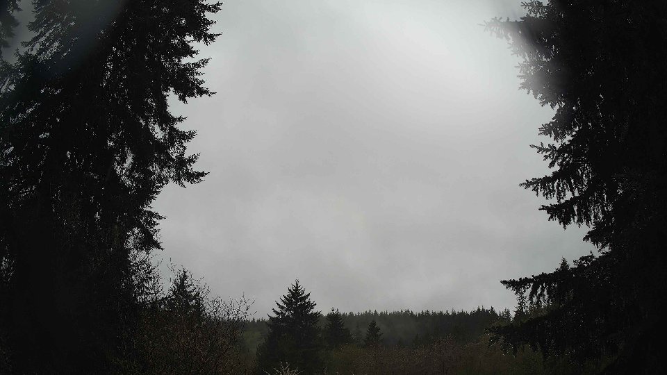
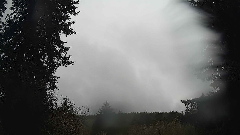
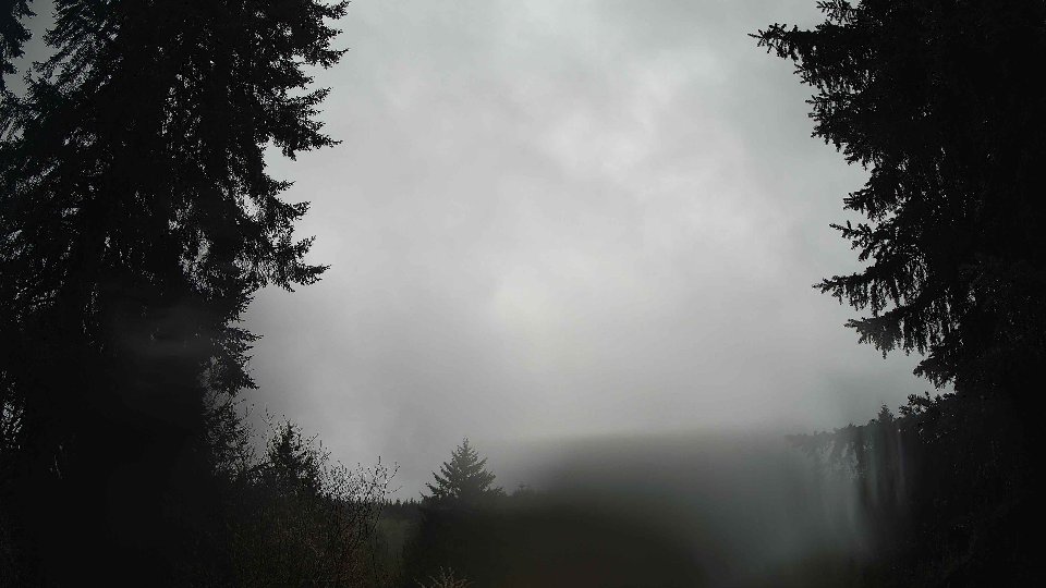
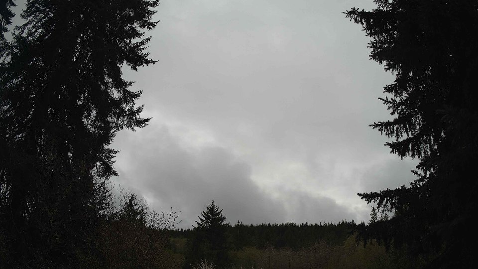
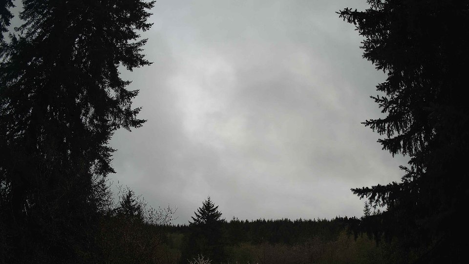
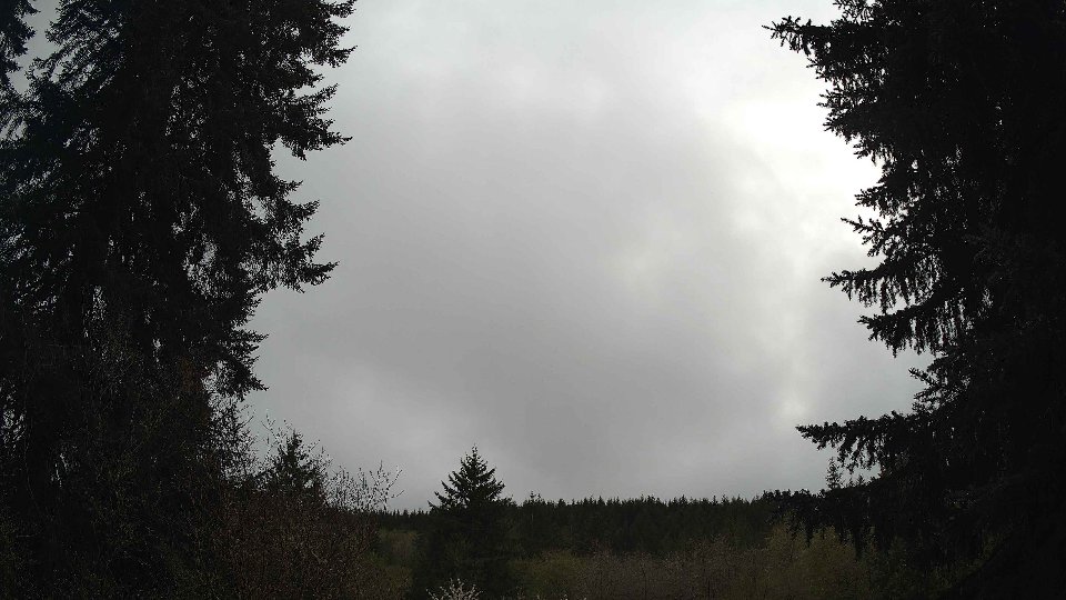
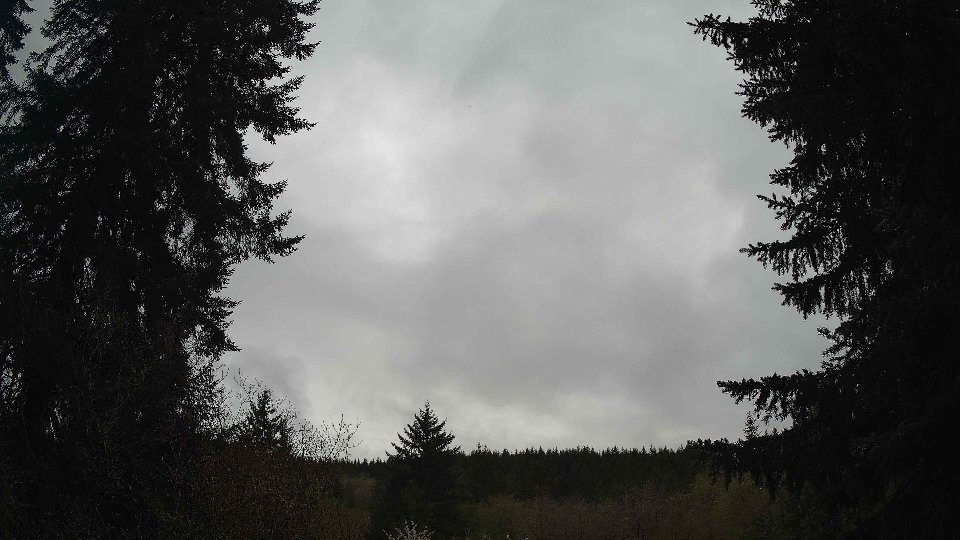
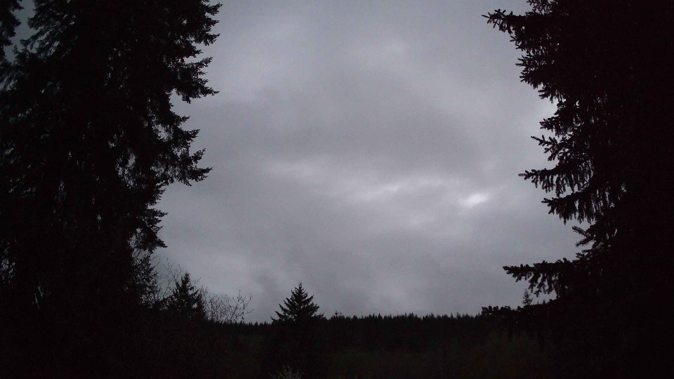
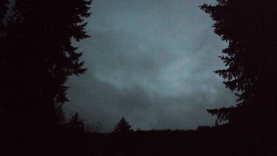
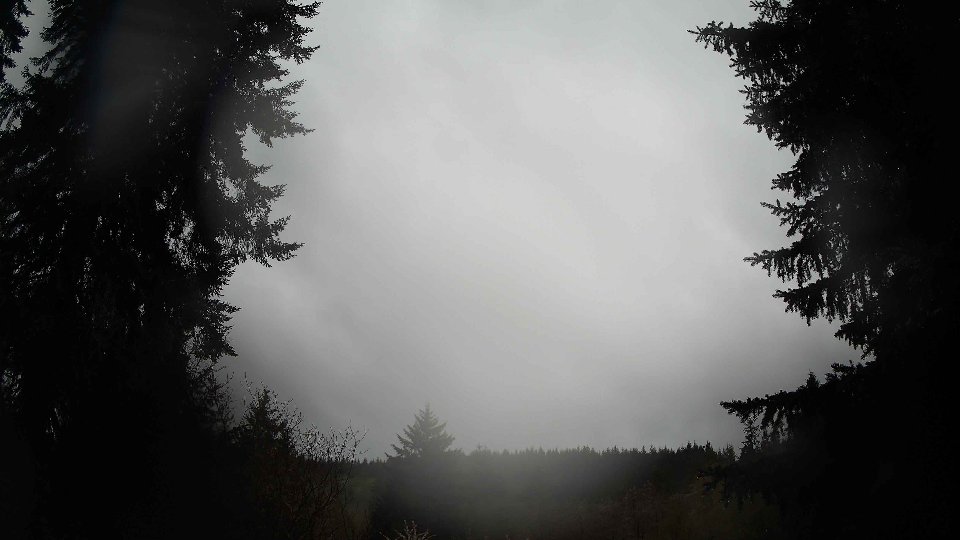
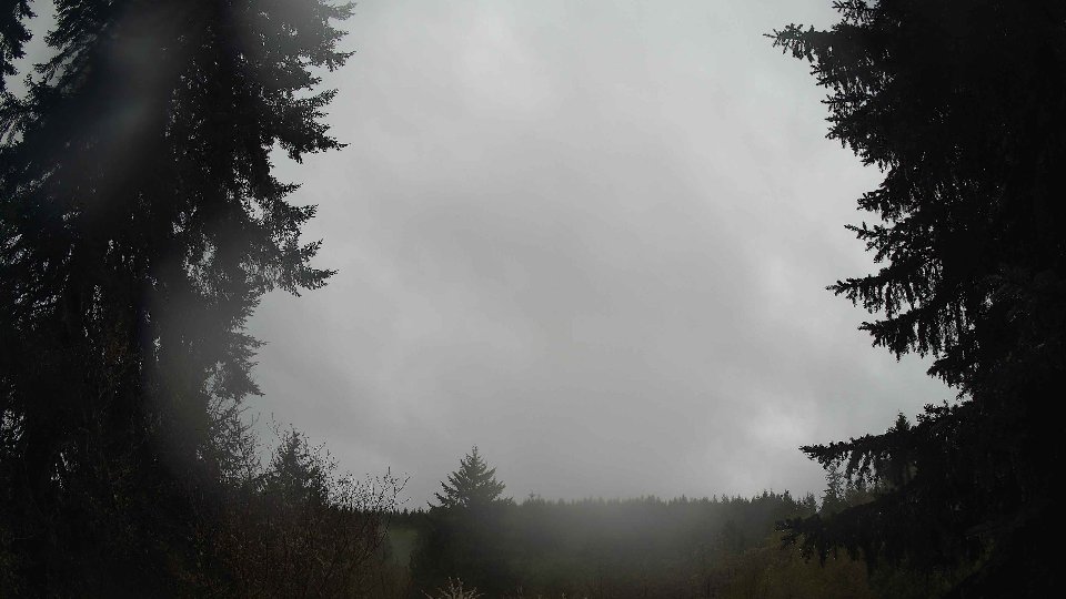
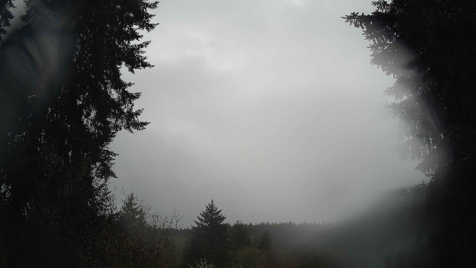
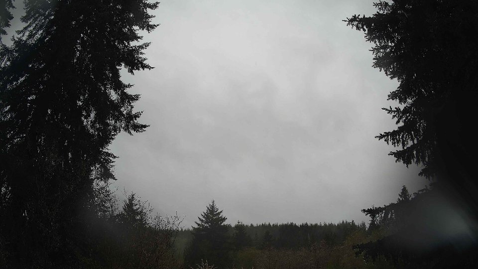
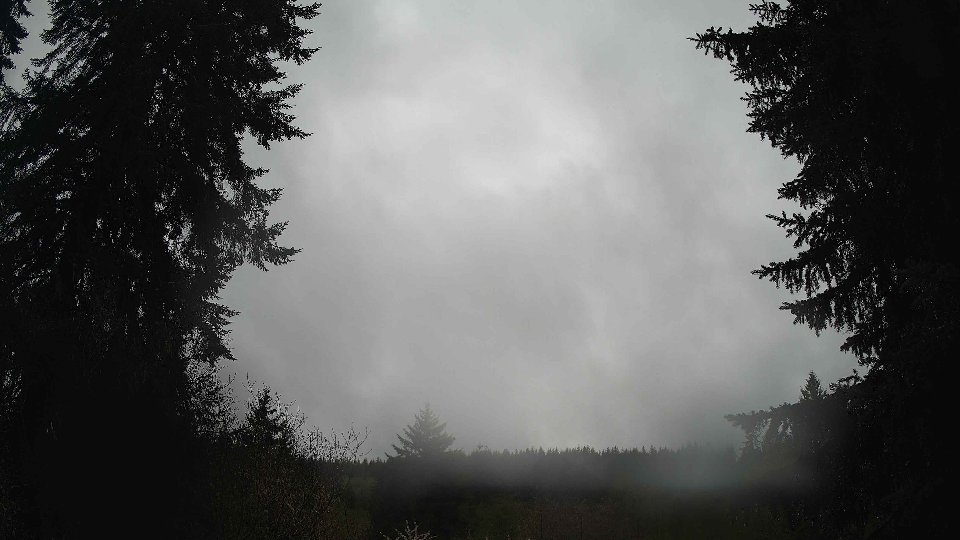
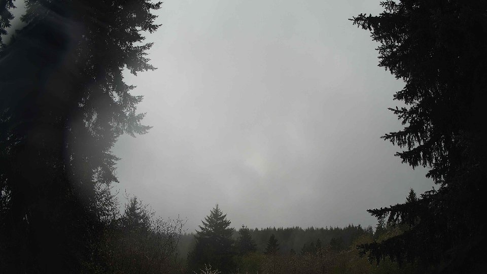
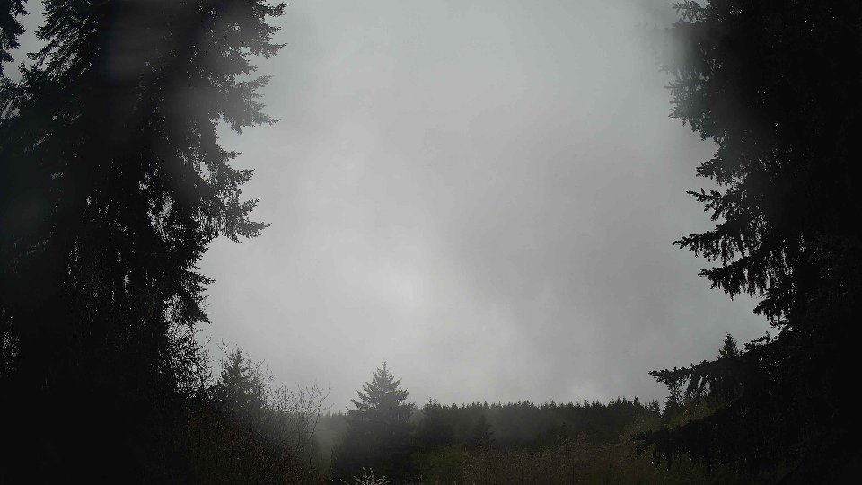
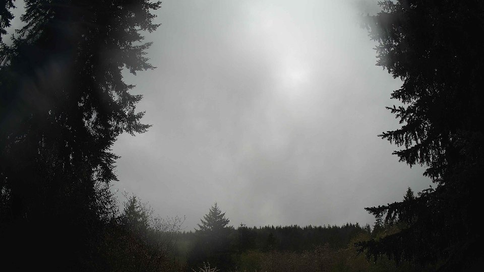
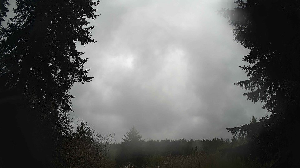
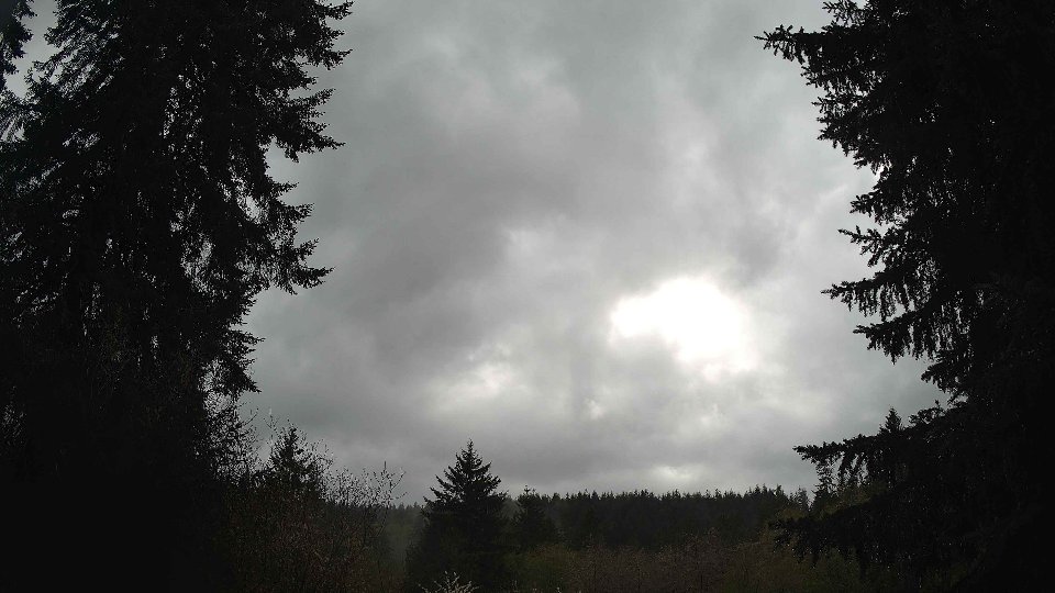
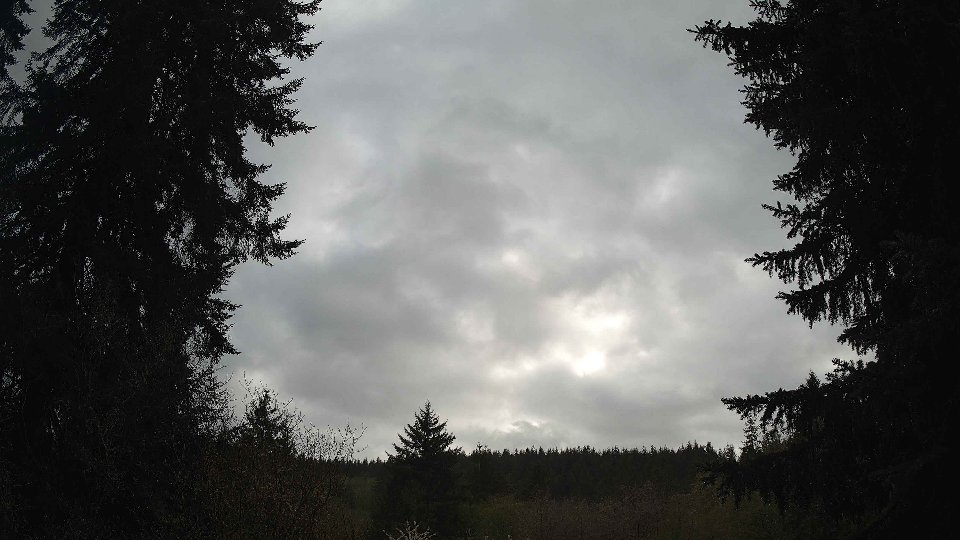
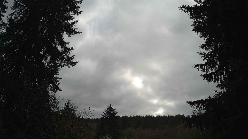
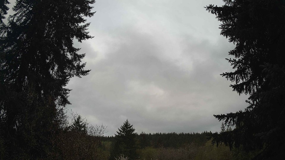
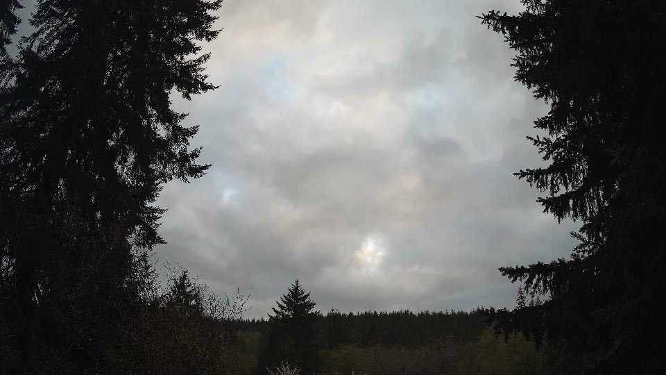
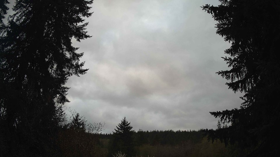
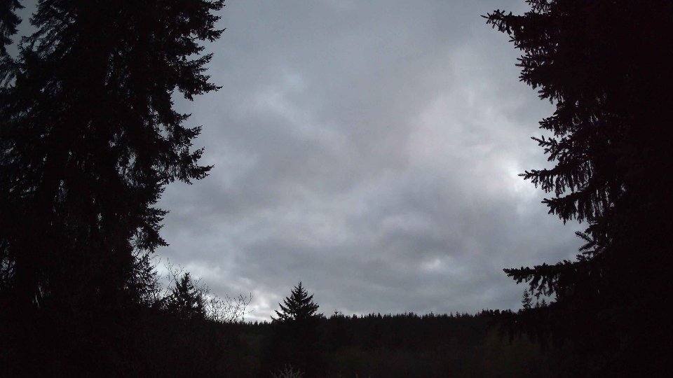
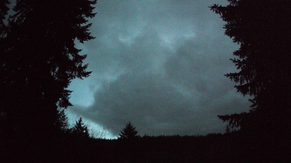
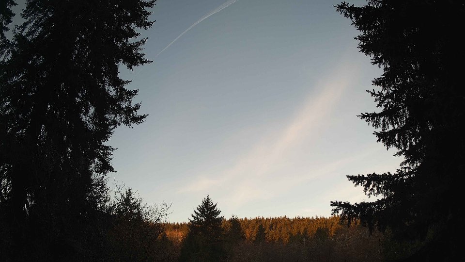
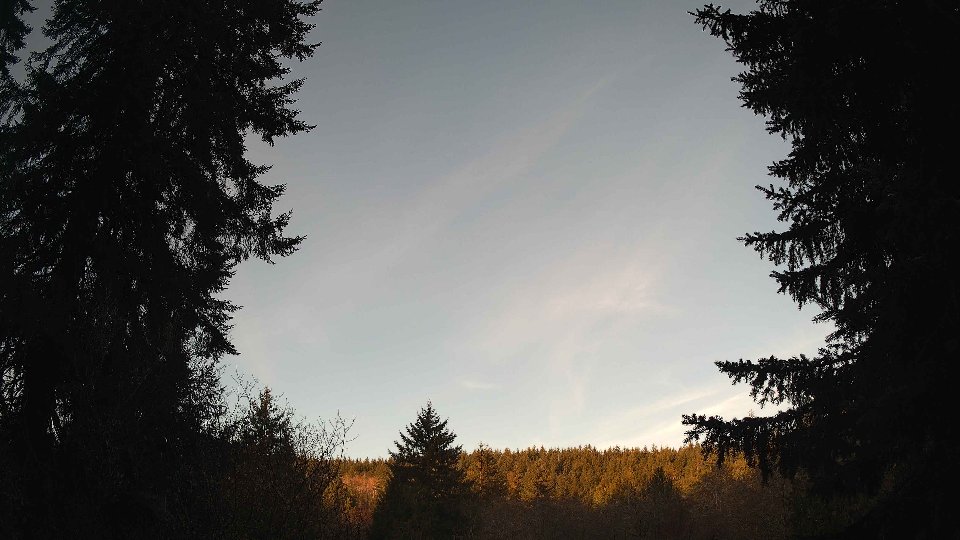
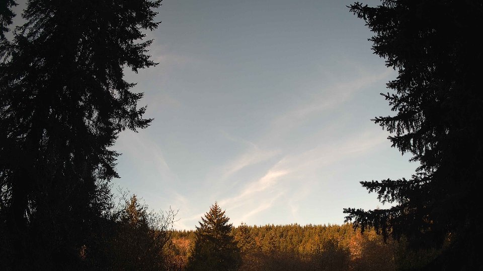
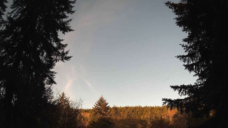
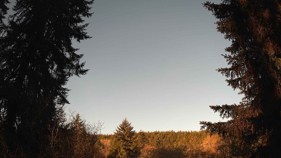
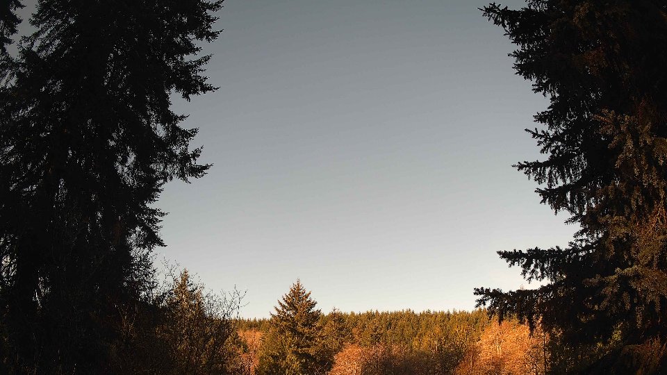
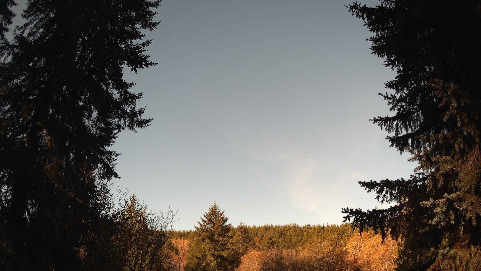
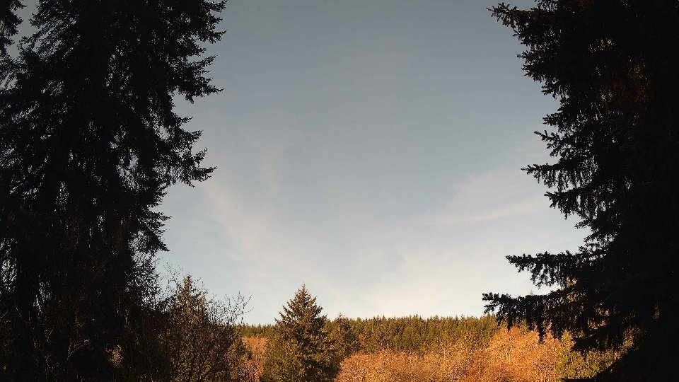
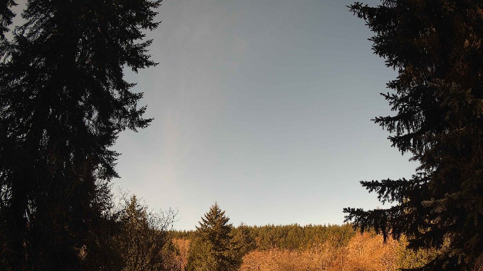
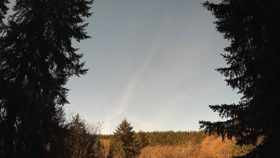
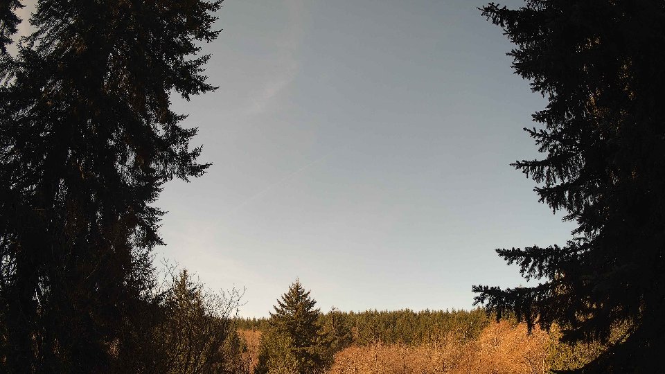
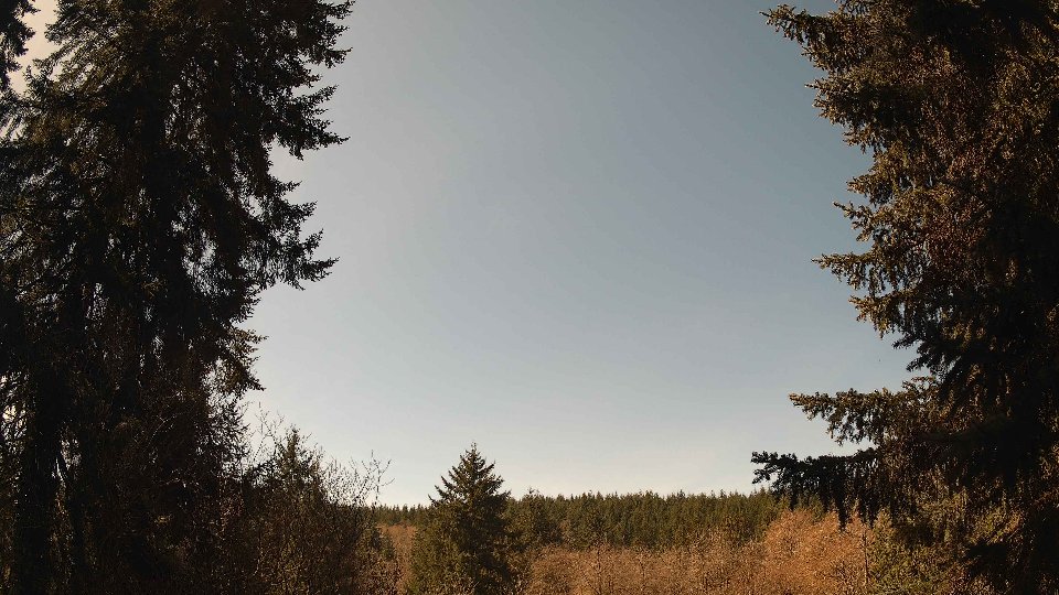
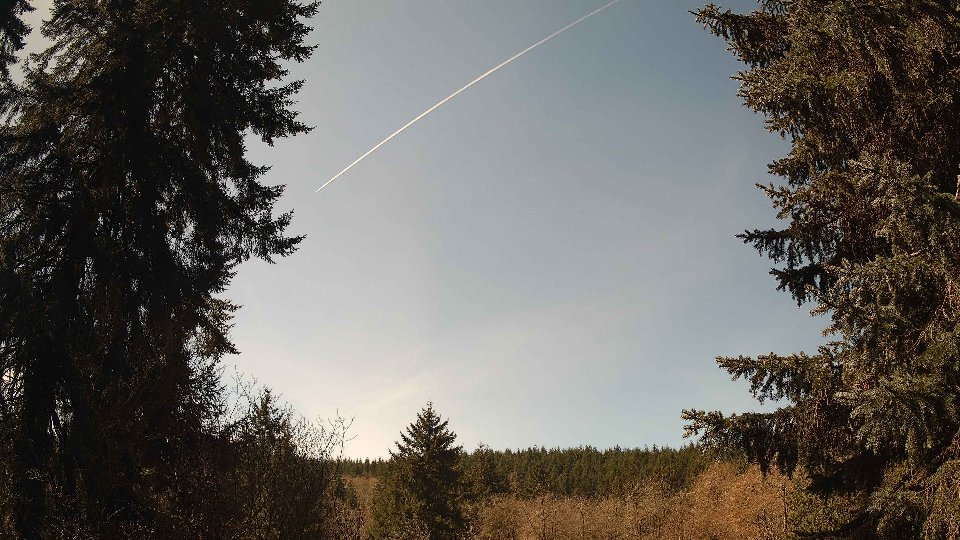
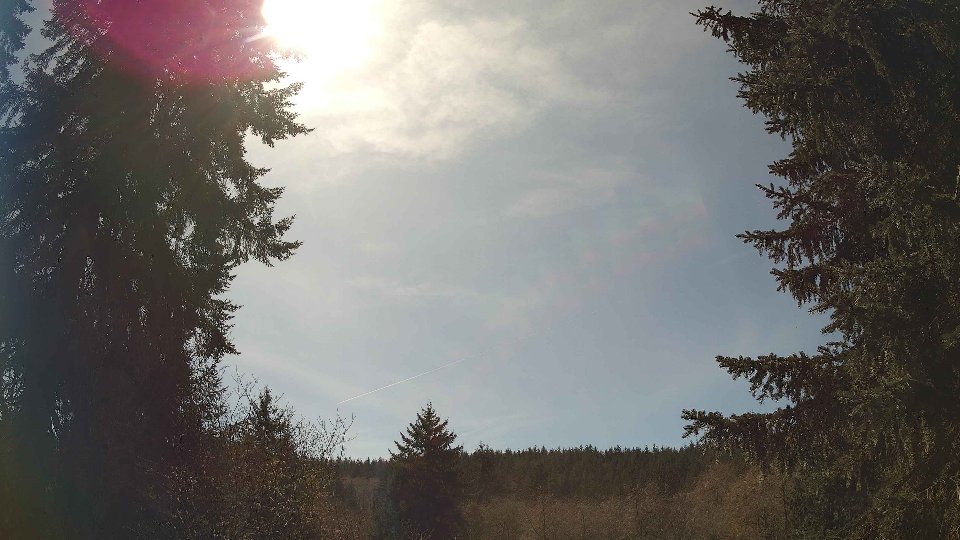
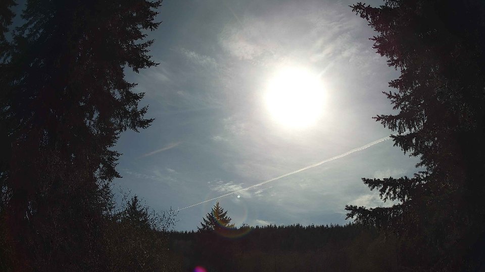
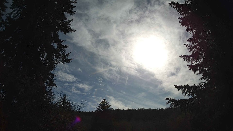
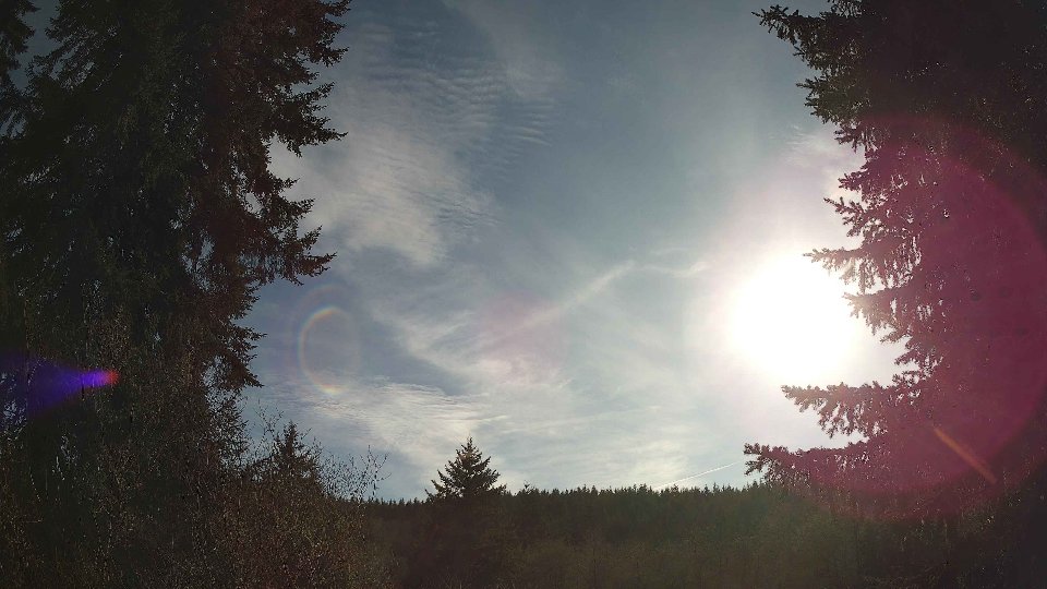
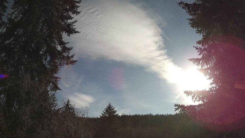
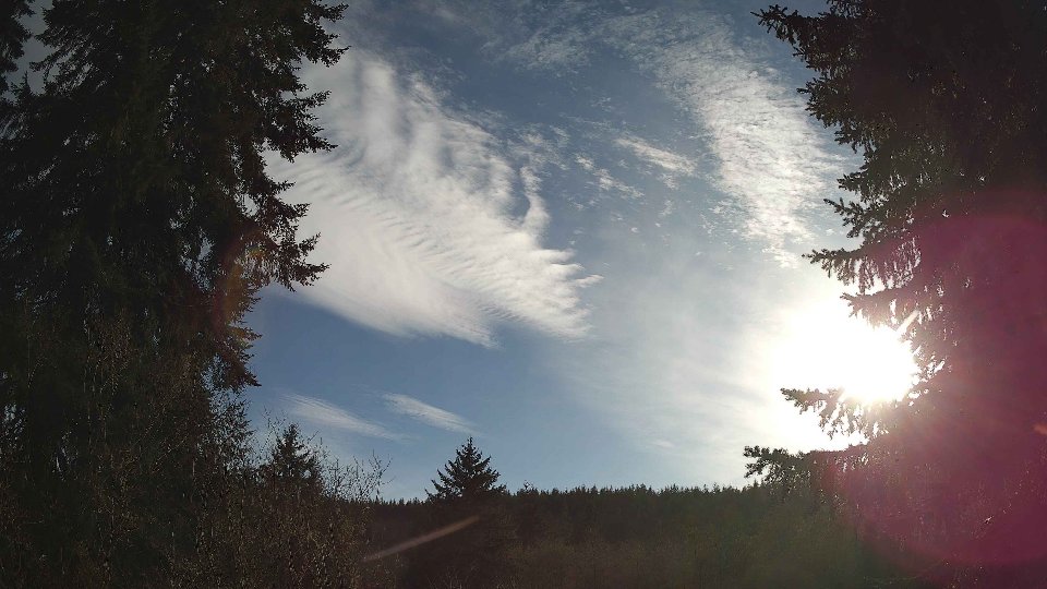
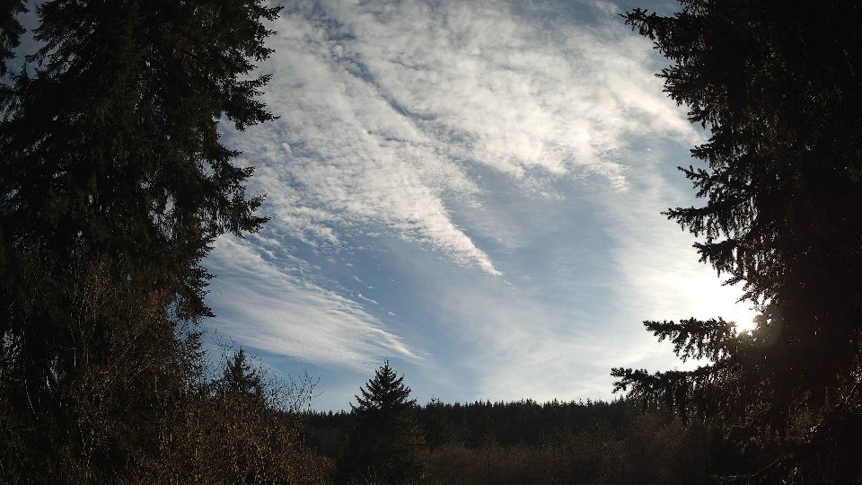
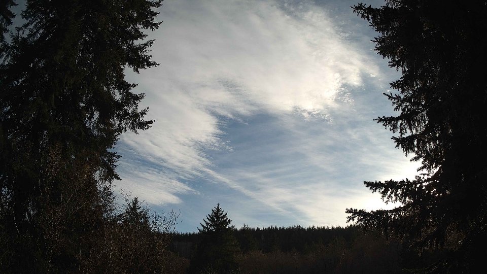
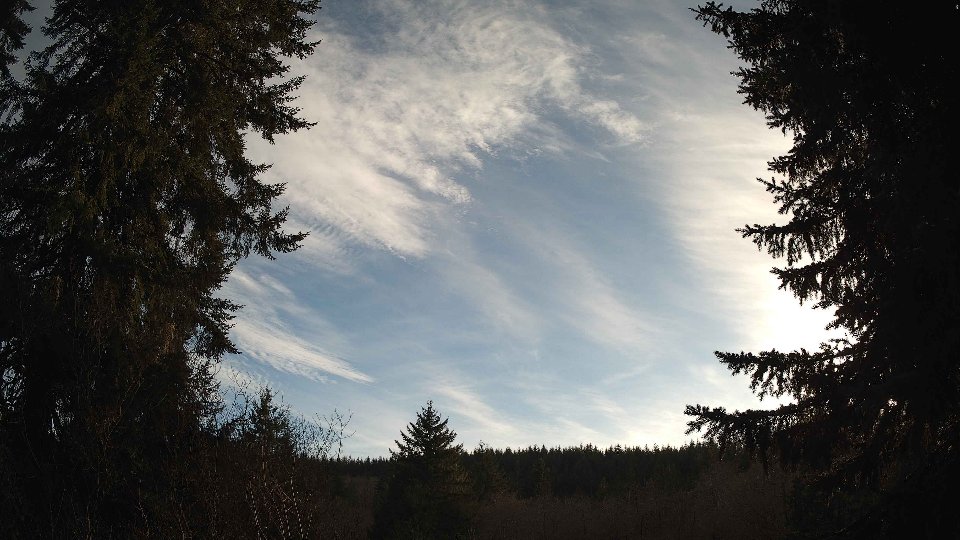
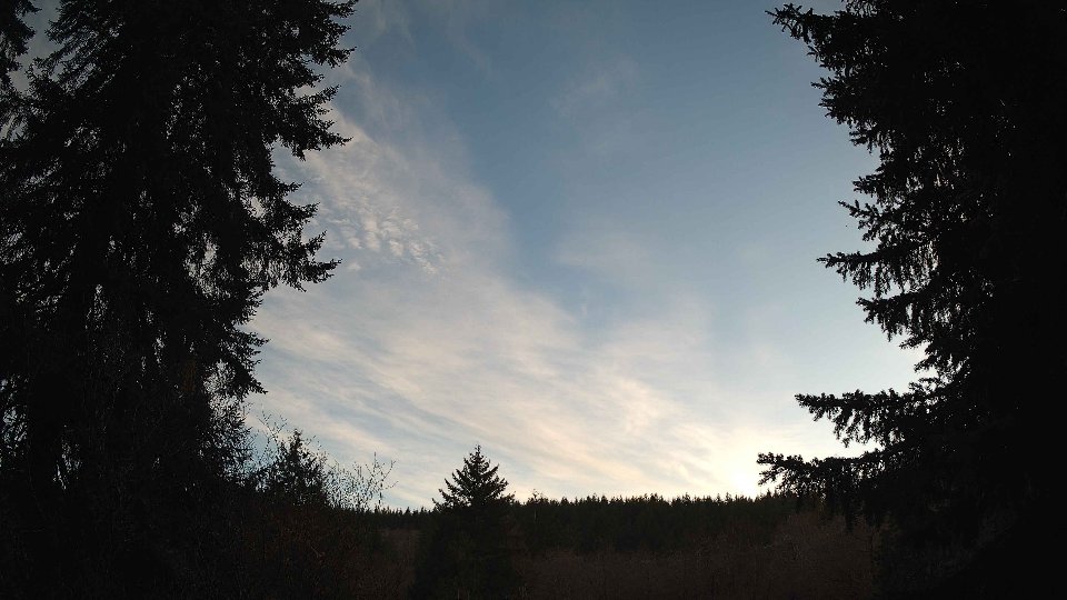
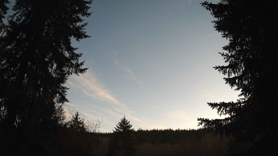
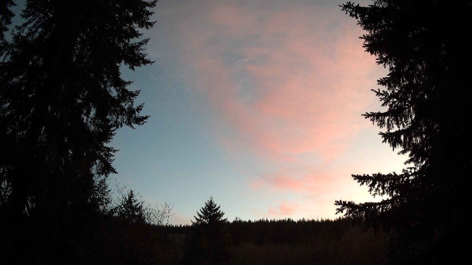
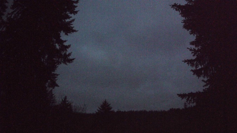
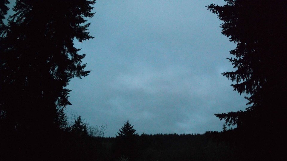
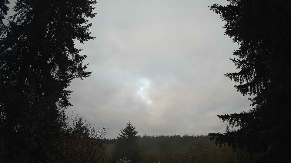
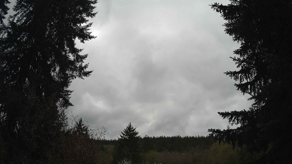
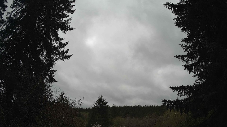
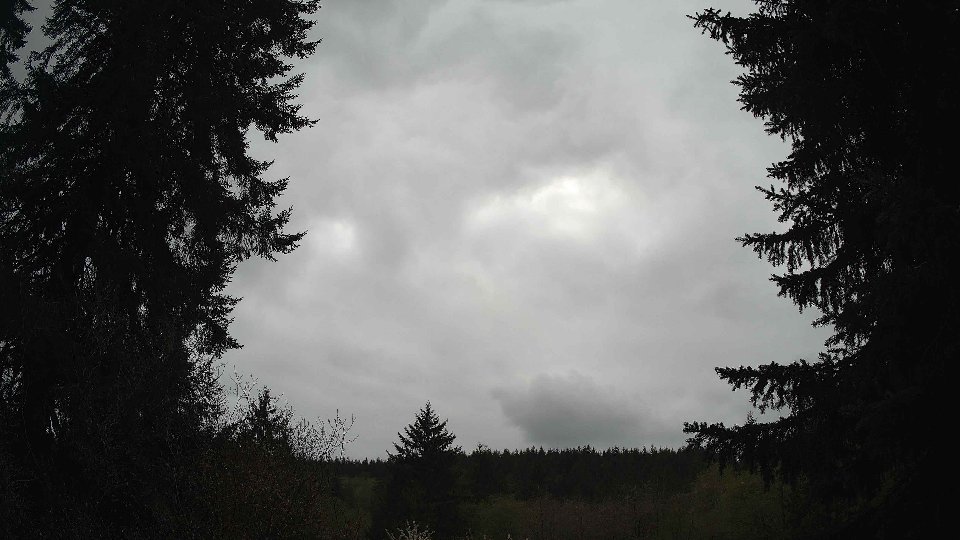
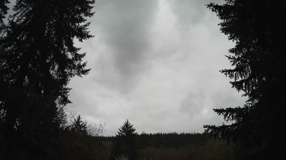
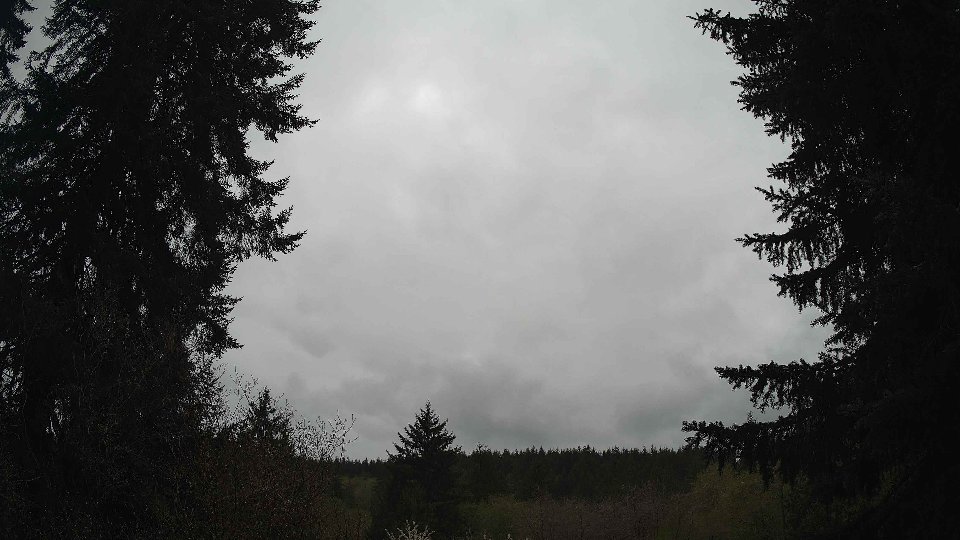
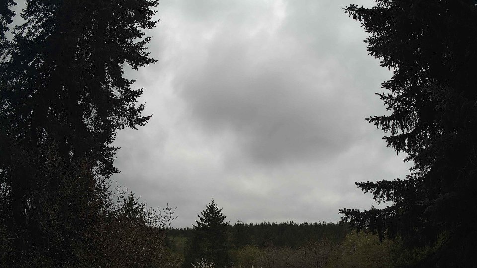
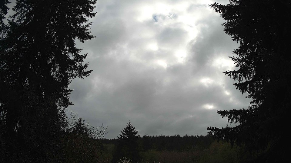
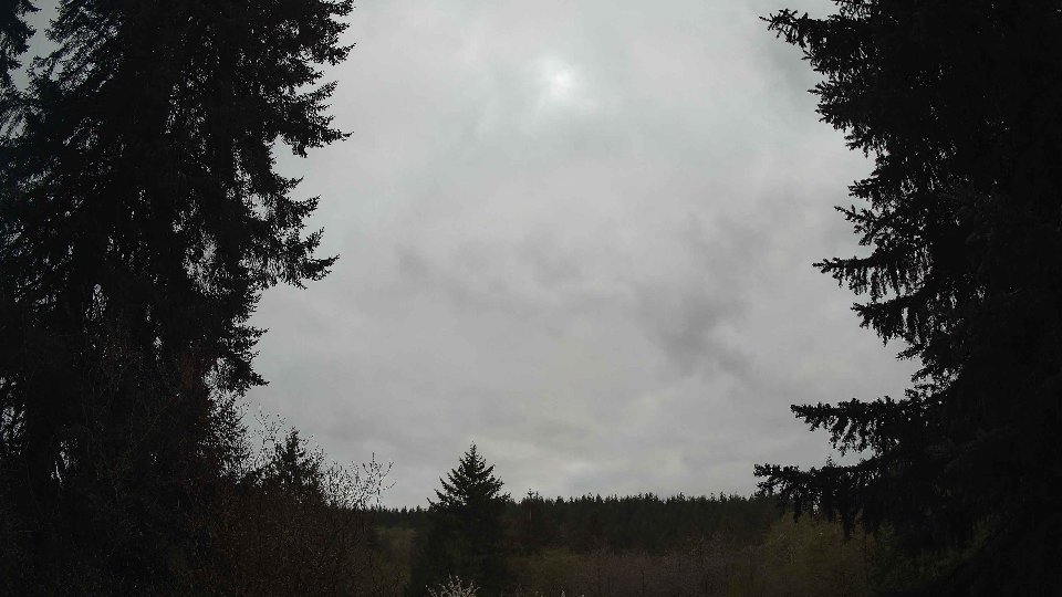
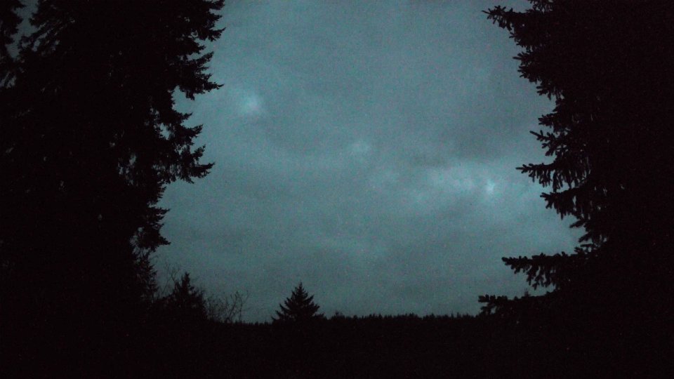
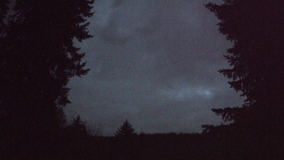
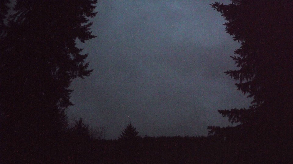
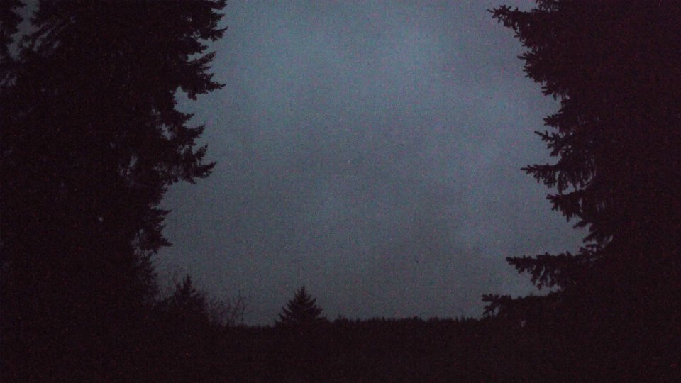
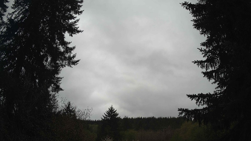
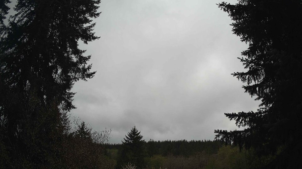
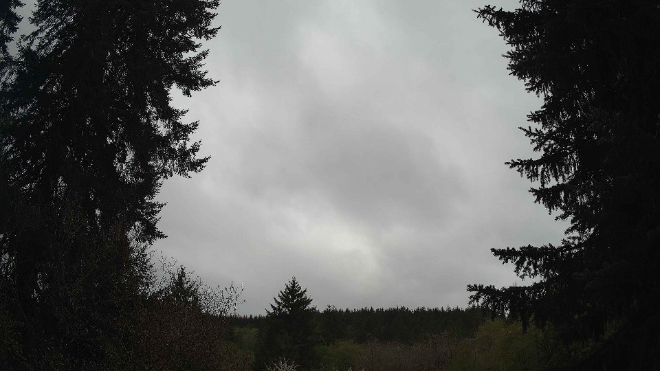
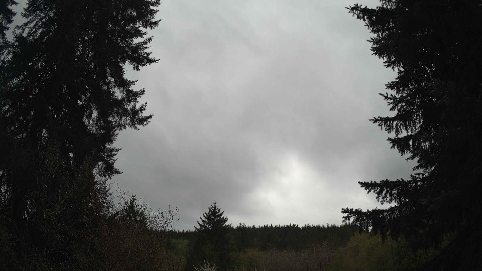
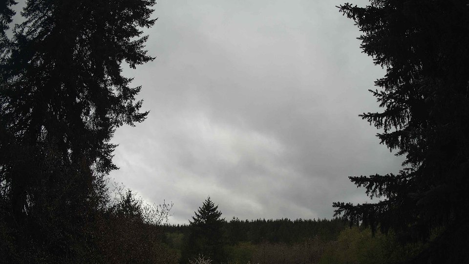
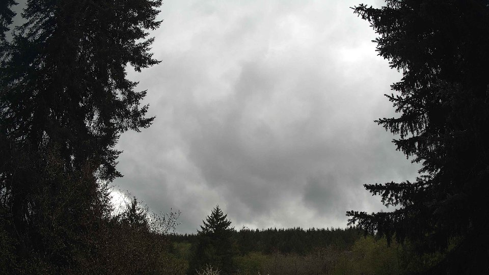
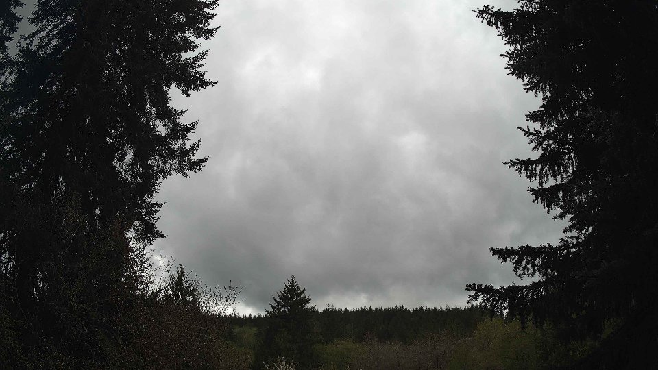
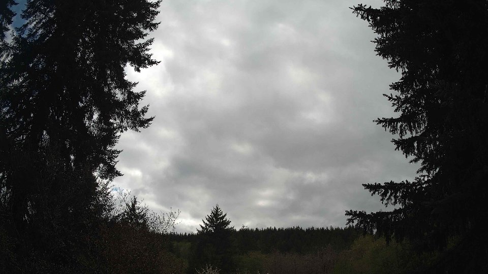
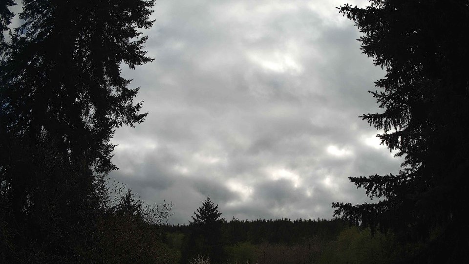
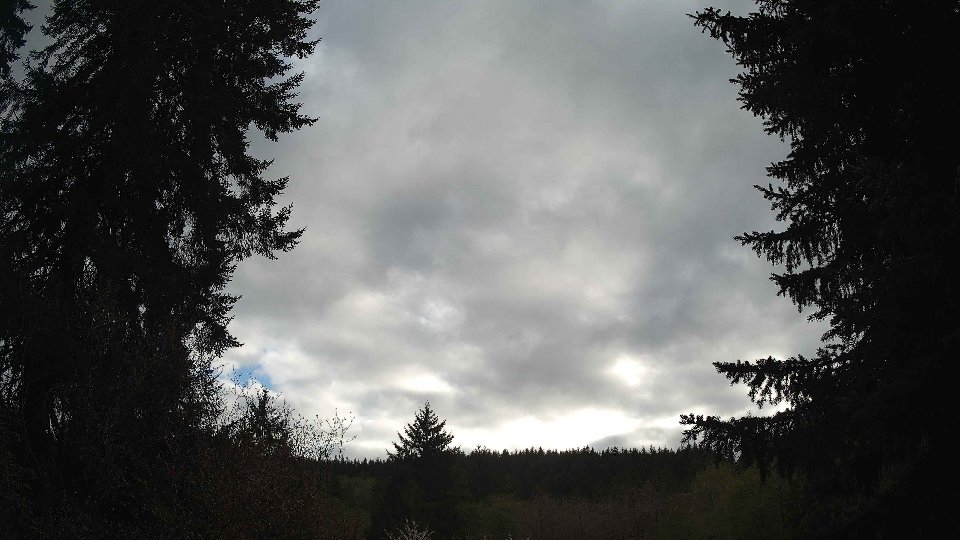
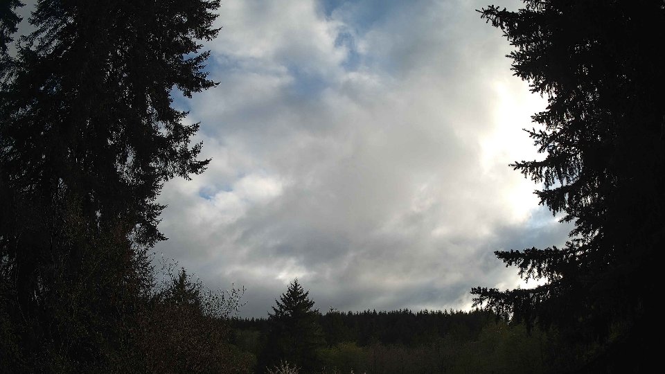
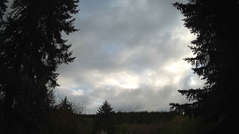
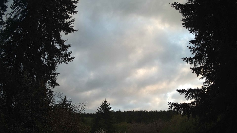
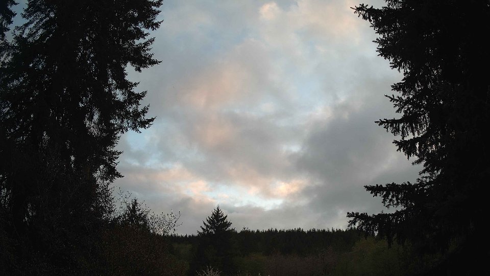
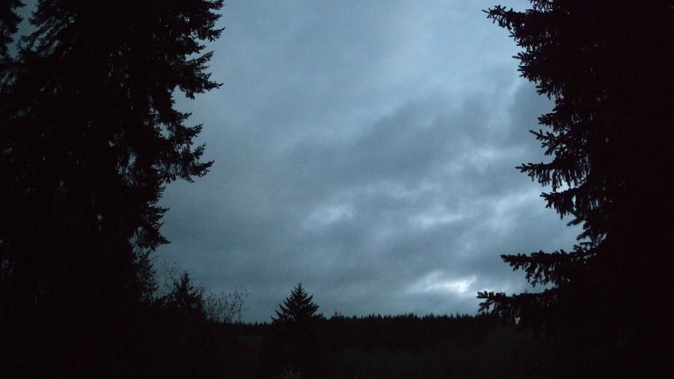
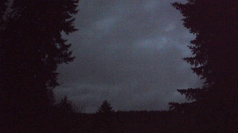
As evening approached, surface winds picked up further to 6.2 mph, while winds at 100 meters surged to 9.7 mph, marking a notable increase in turbulence. The cloud cover remained extensive, with low clouds dropping to 34.7% and mid clouds at 55.5%, while high clouds surged to 99.7%. This uneven layering led to interesting visual effects, as the fast-moving high clouds clashed with the slower, thicker lower layers, creating a dramatic interplay of shadows across the sky. The contrast in wind speeds at varying altitudes not only enhanced the cloud formations but also contributed to a final precipitation measurement of 0.05 inches. By sunset, the sky was a tapestry of gray, with patches of thinning clouds allowing brief moments of brightness, displaying the culmination of a day where low and high atmospheric dynamics continuously shaped the weather narrative.
April 21st, 2026 Timeline
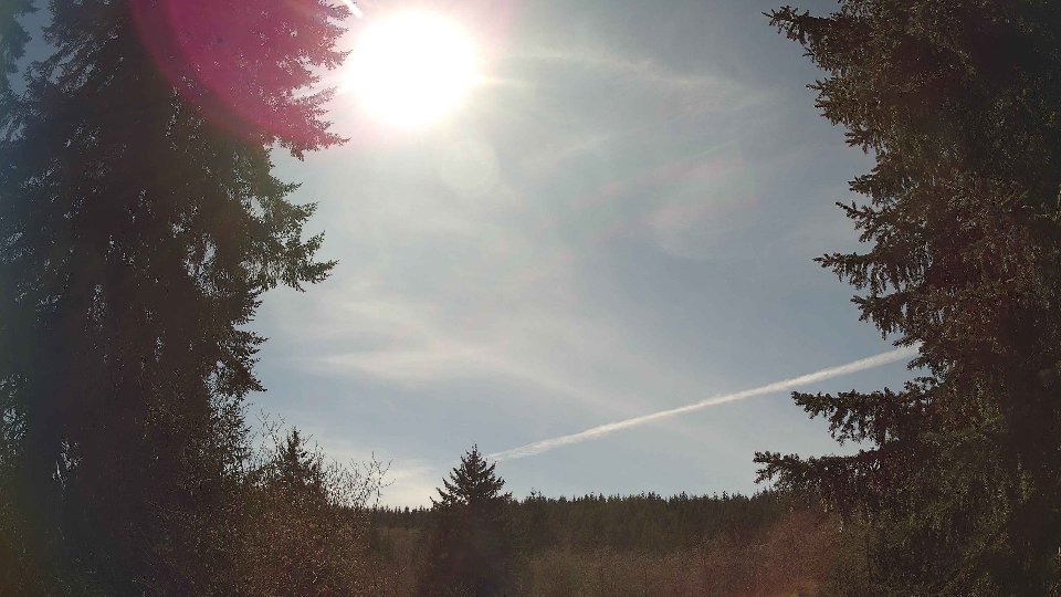
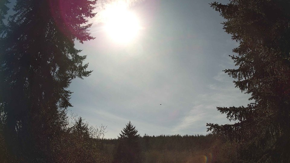
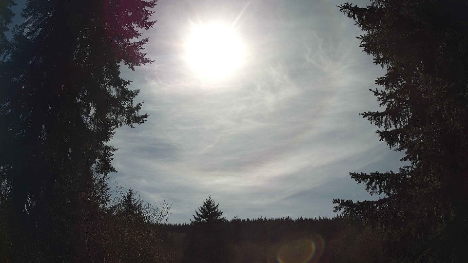
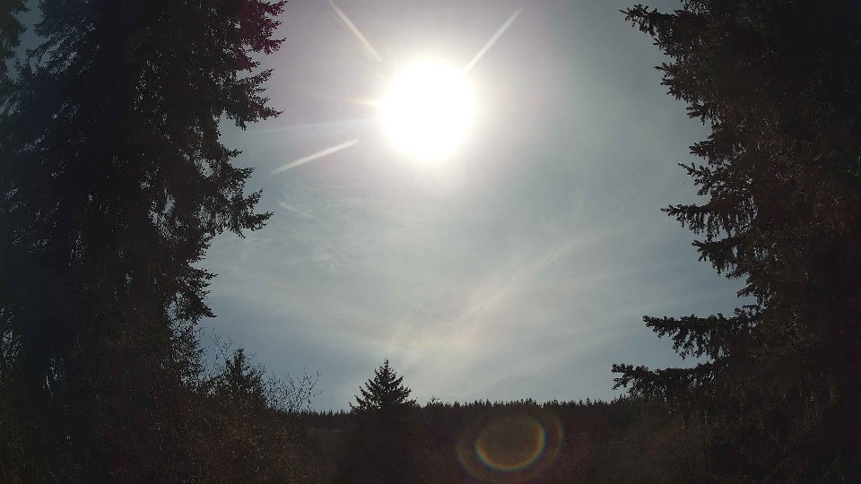
Screenshots with weather data (wind layers, clouds, precipitation)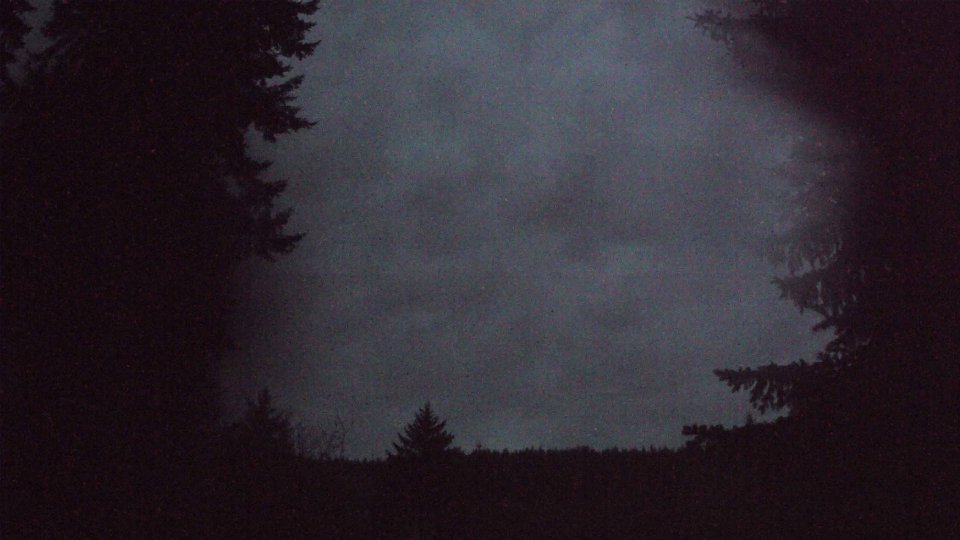


Weather Info for April 21st, 2026
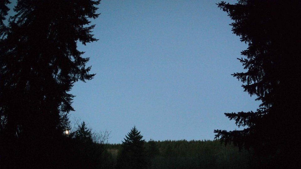
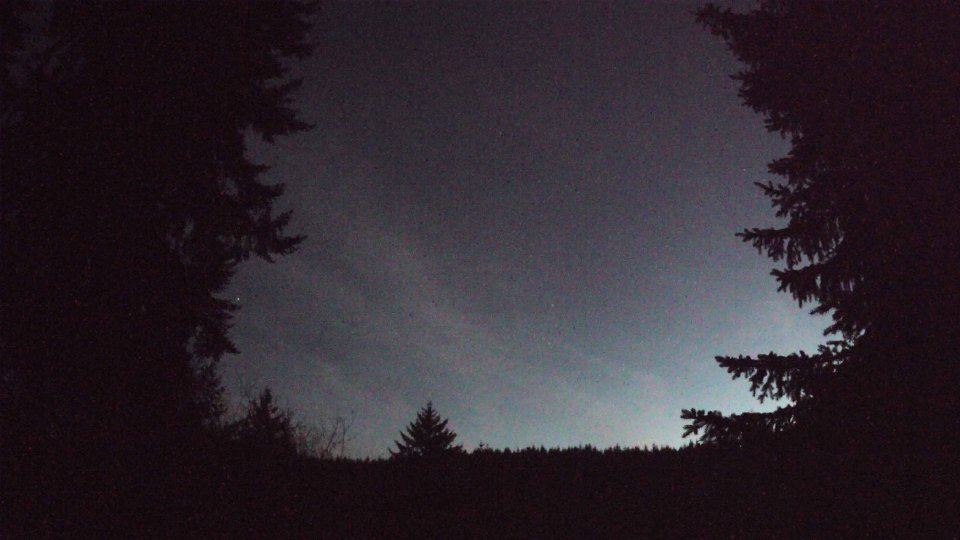
Sunset: 8:07 PM