June 4th, 2026 Timelapse
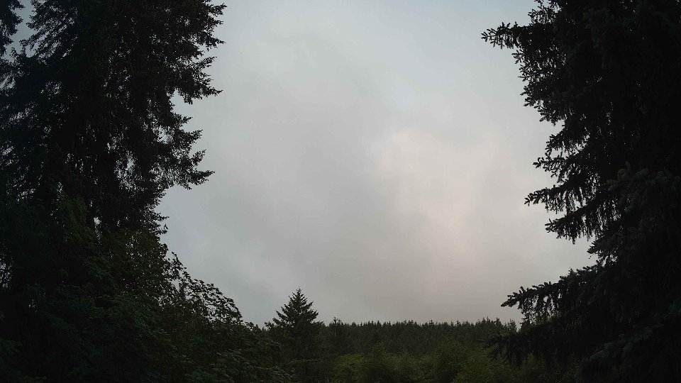
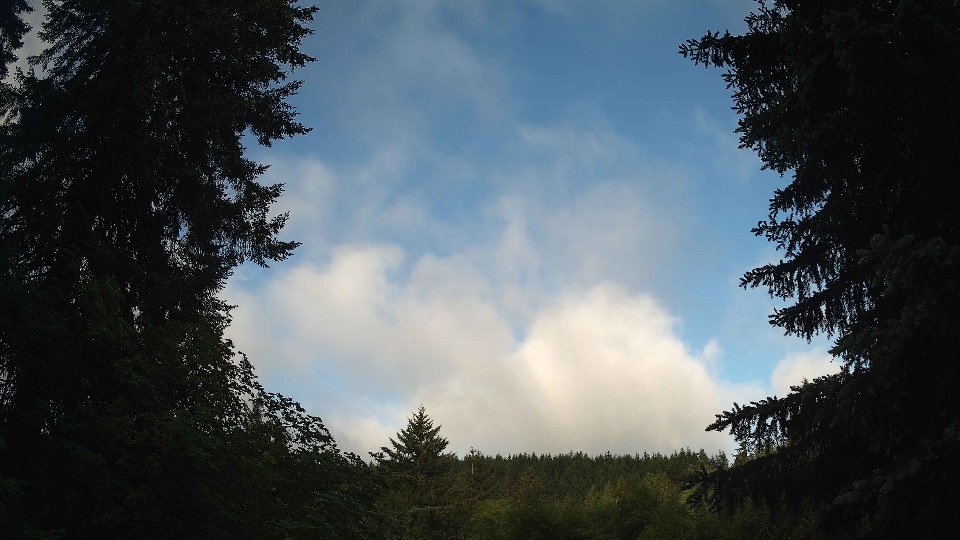
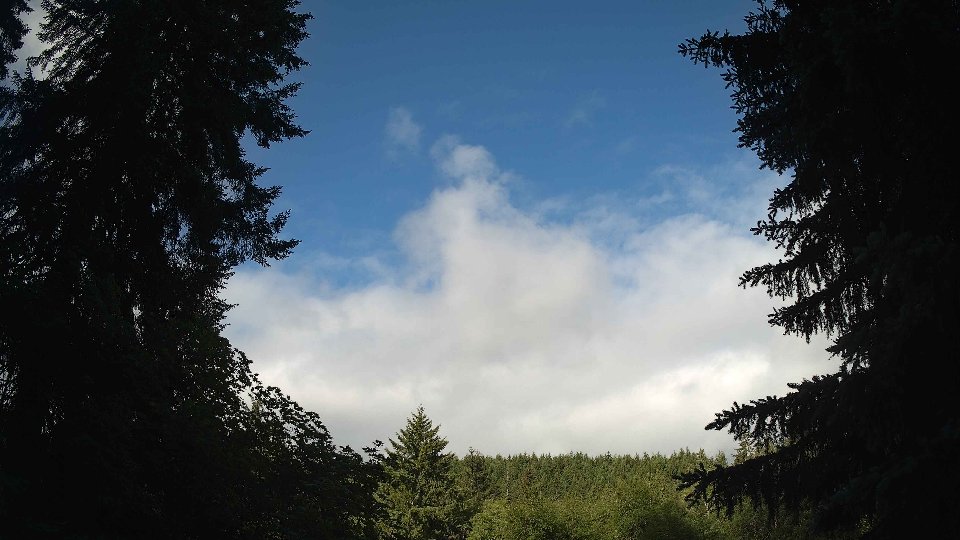
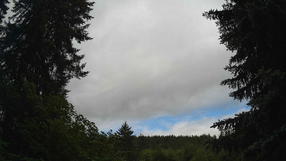
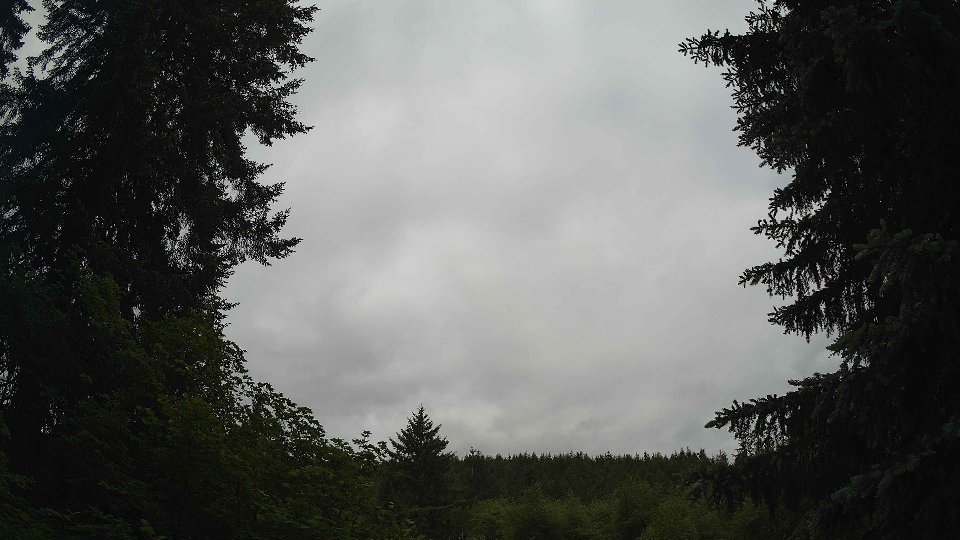
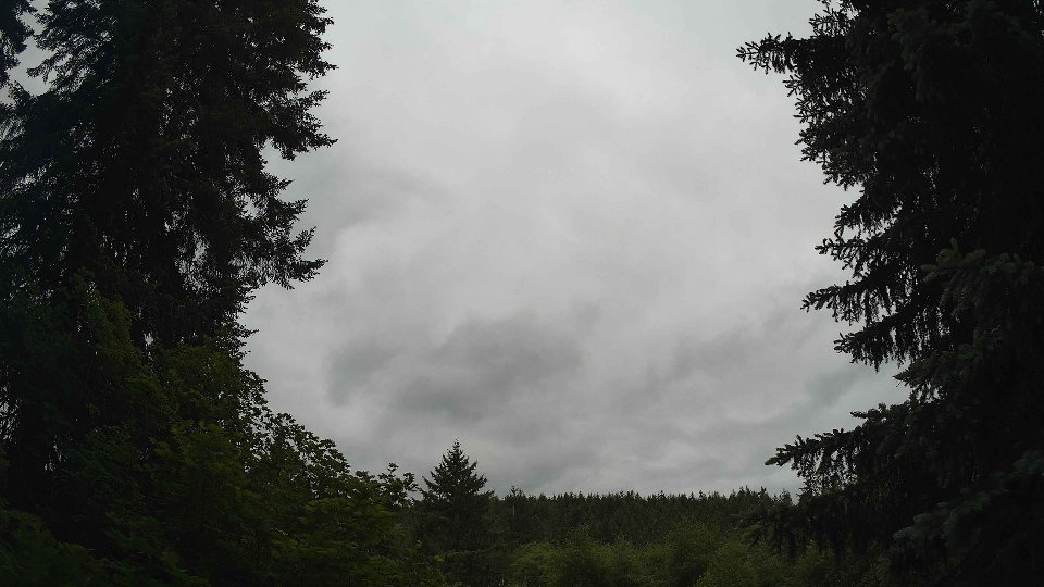
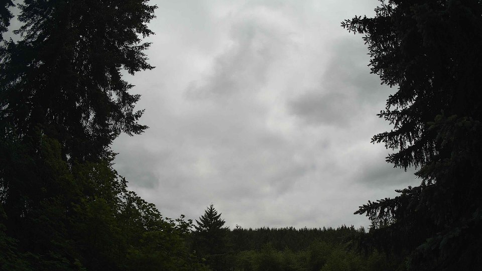
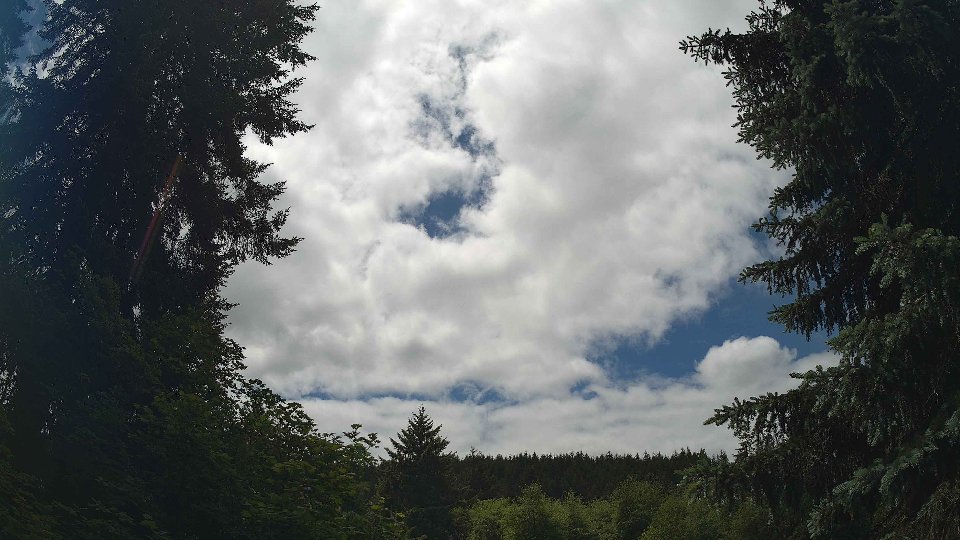
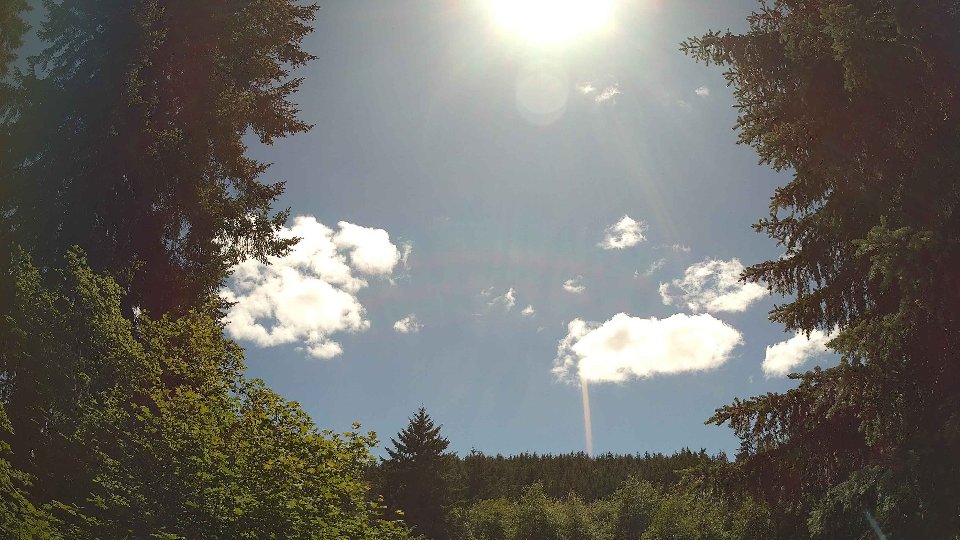
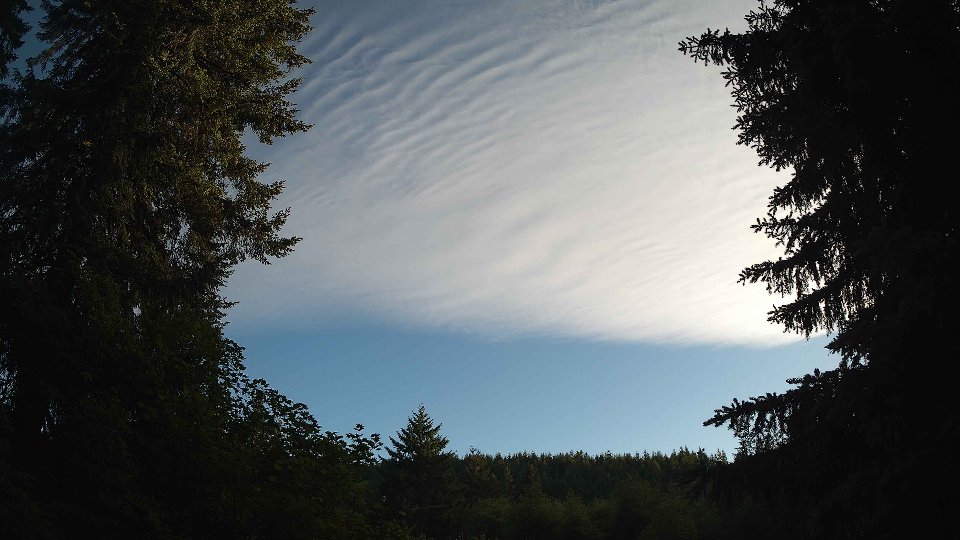
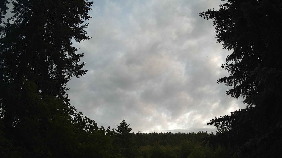
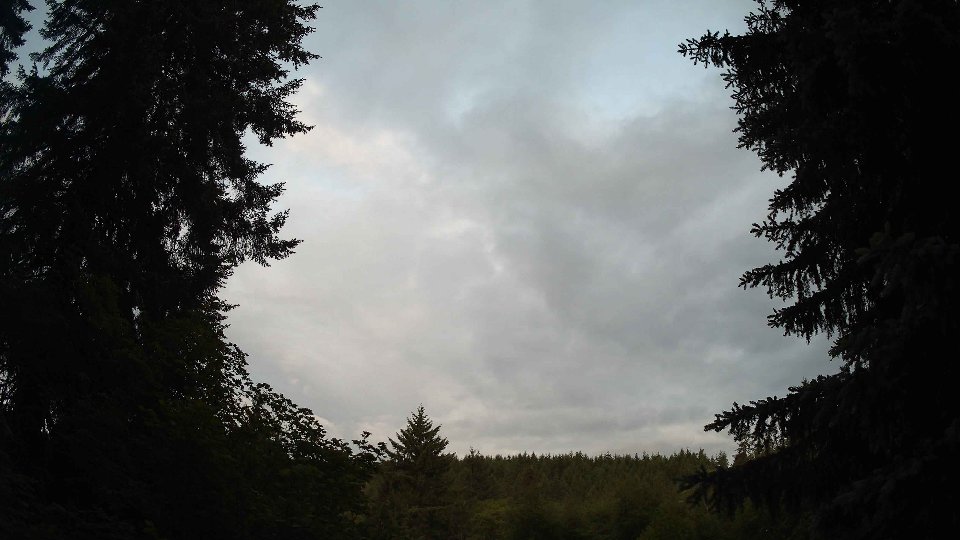
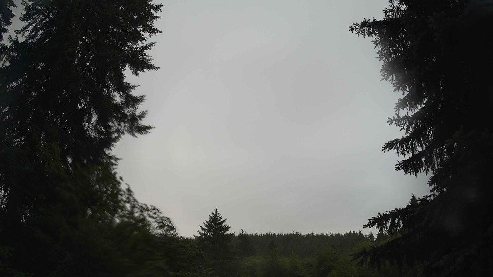
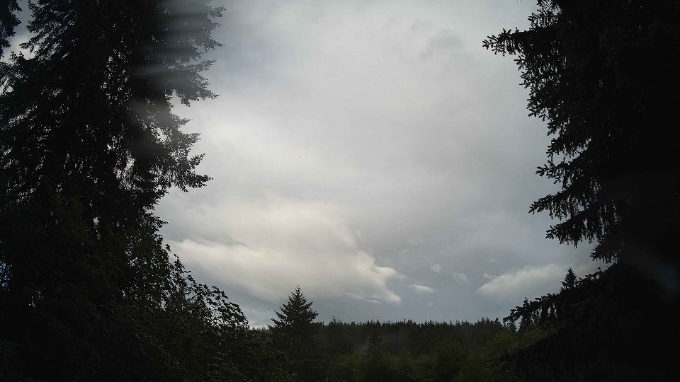
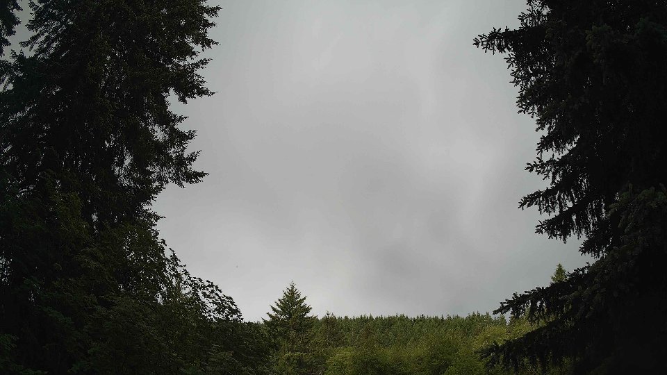
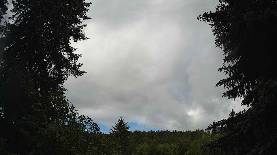
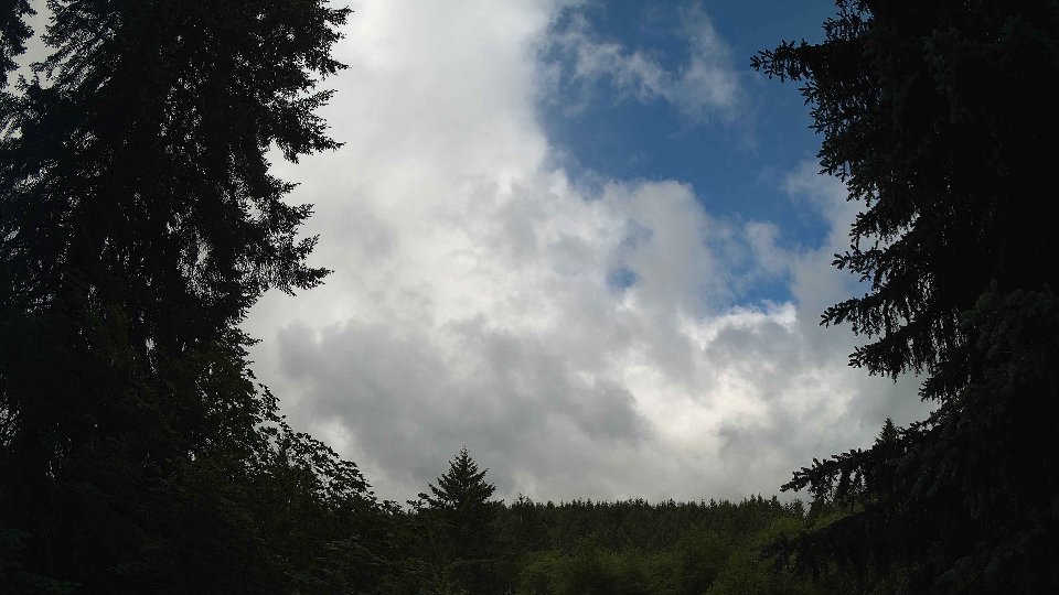
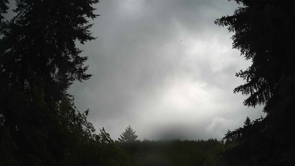
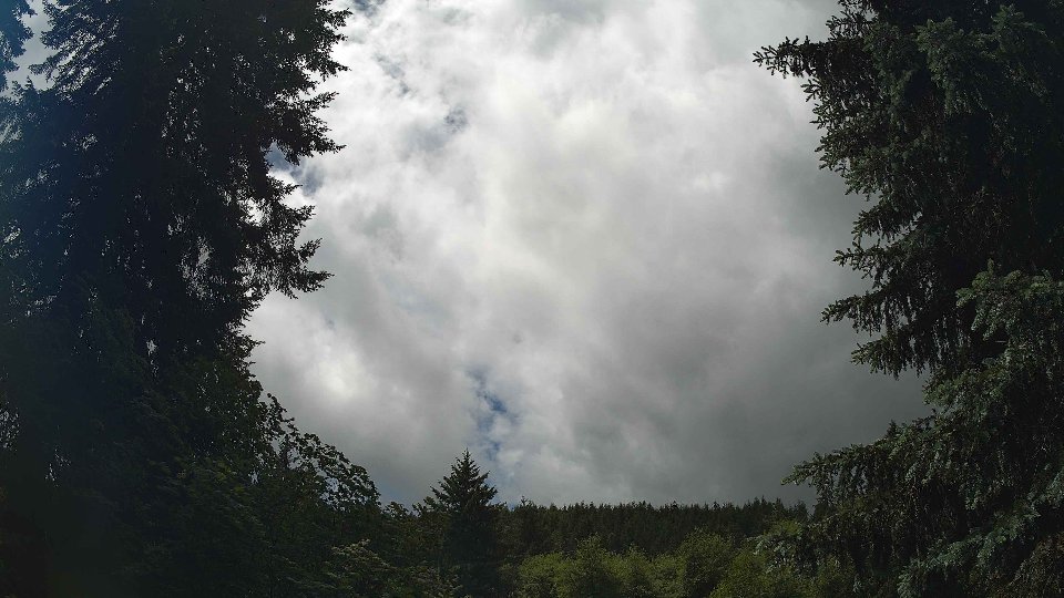
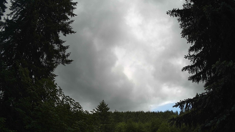
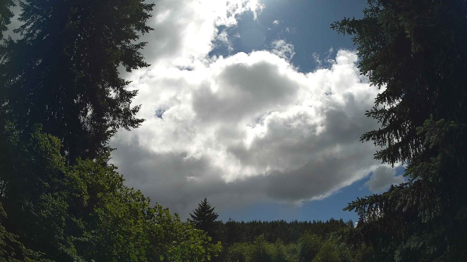
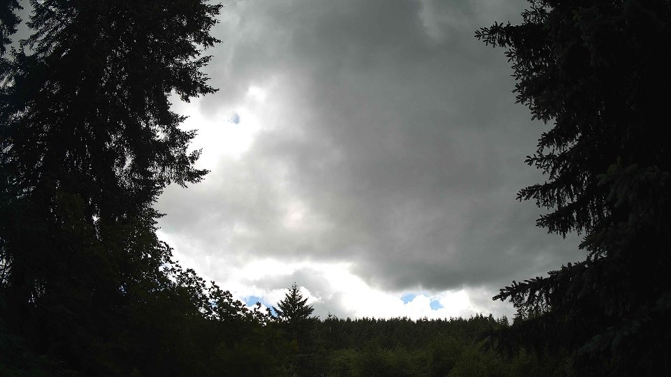
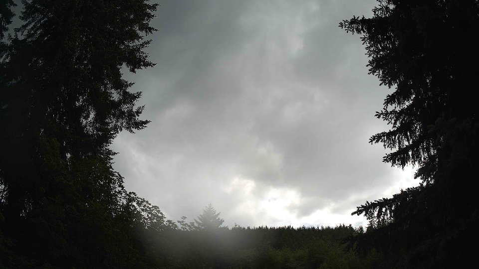
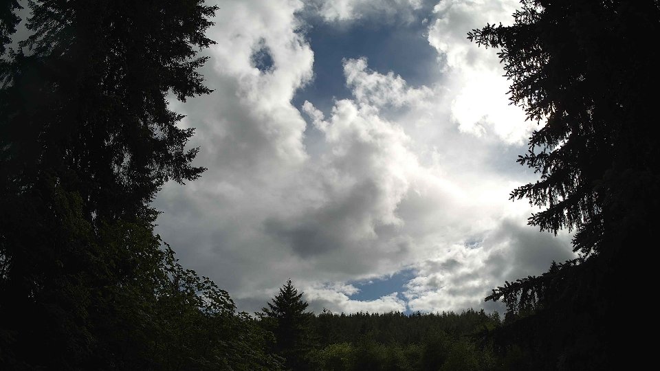
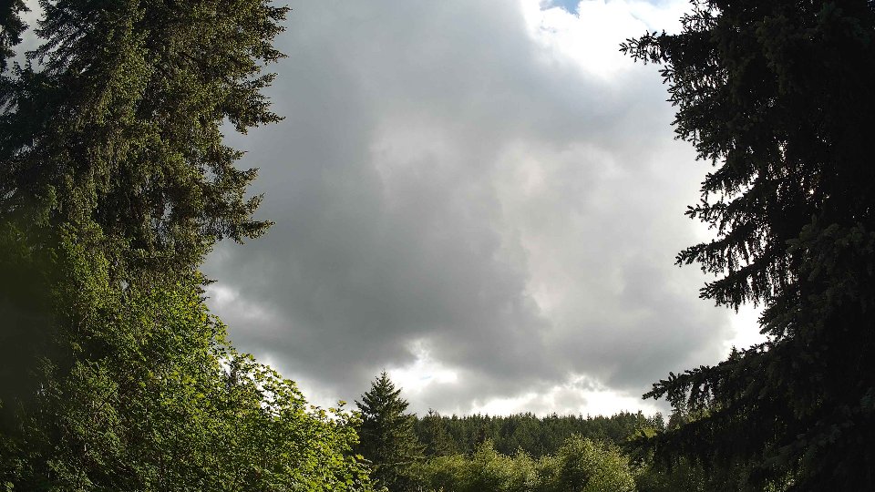
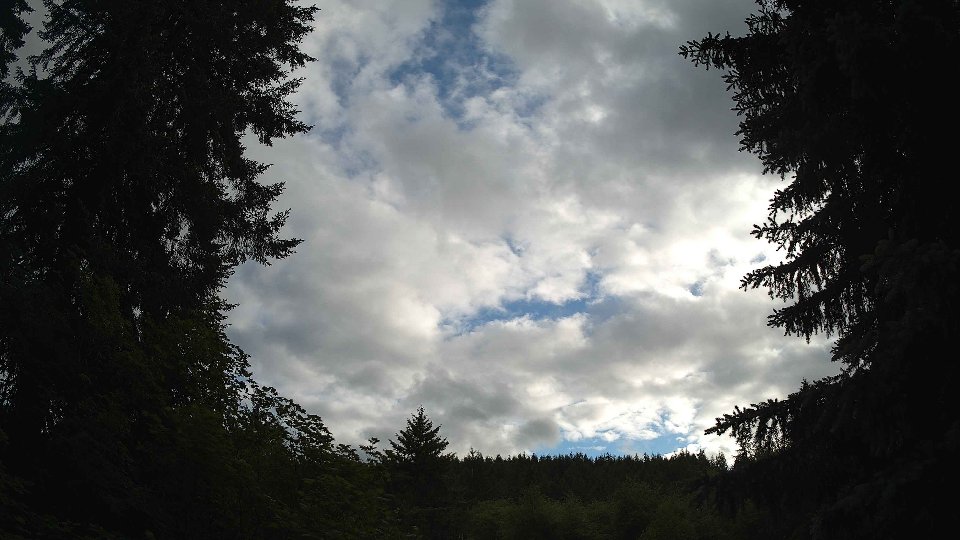
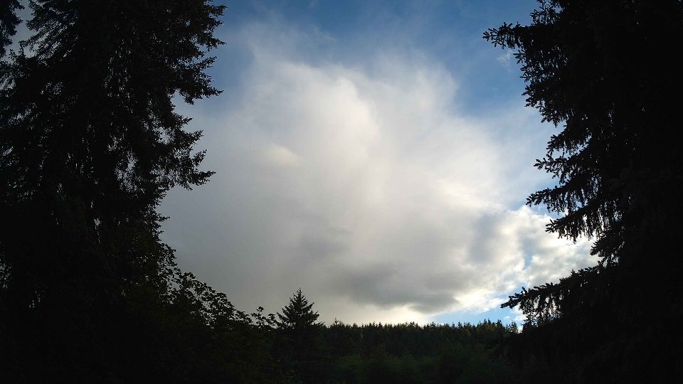
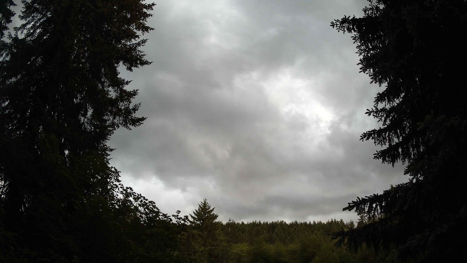
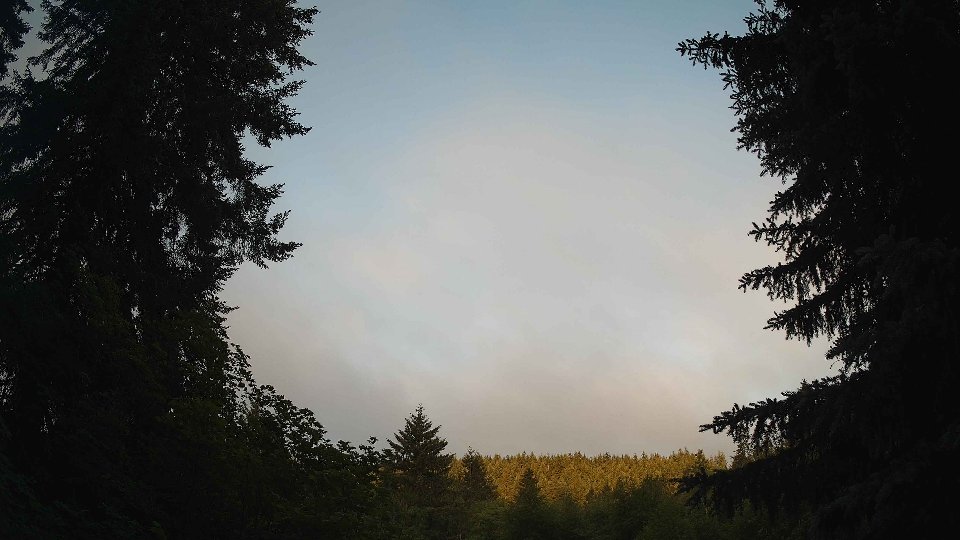
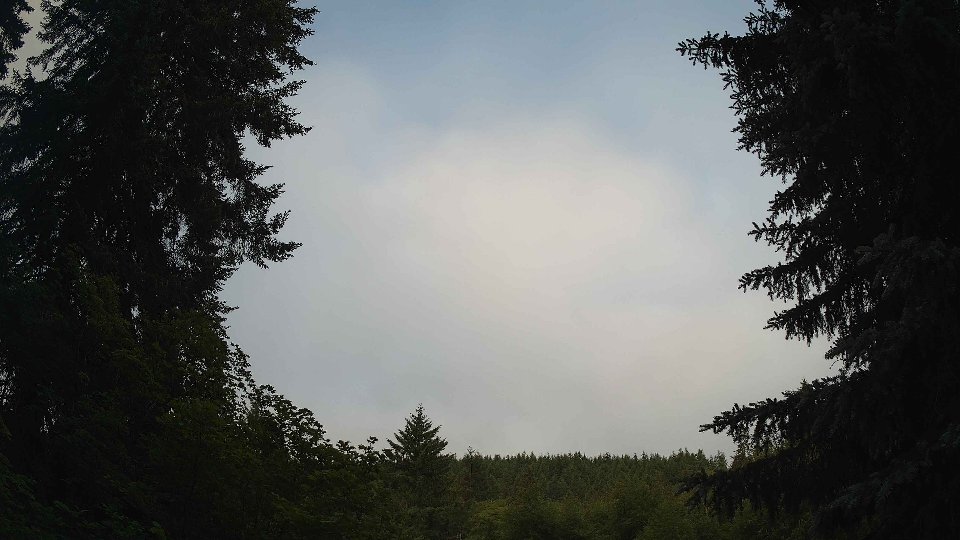
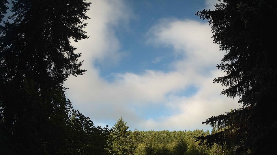
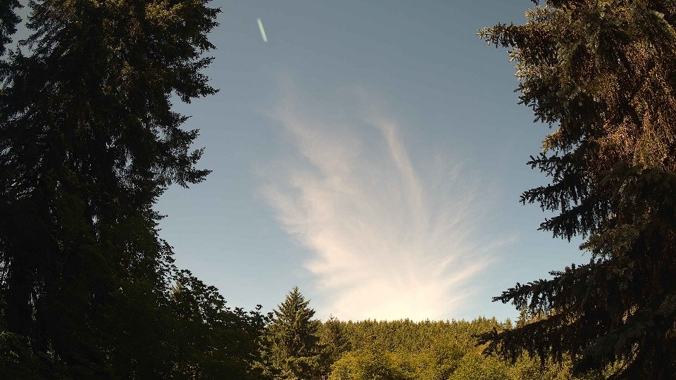
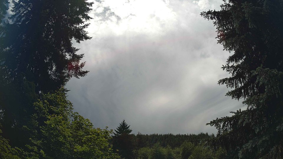
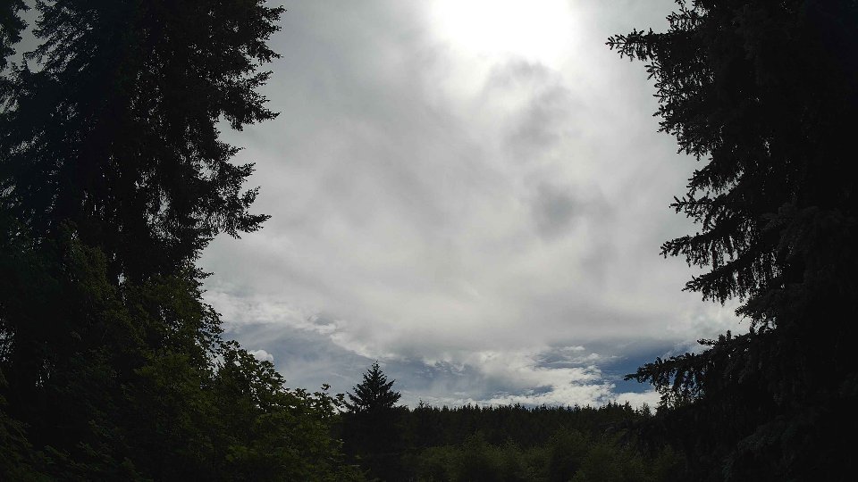
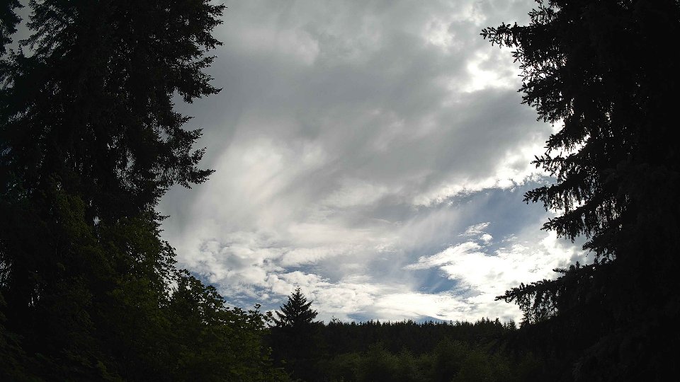
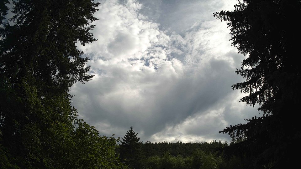
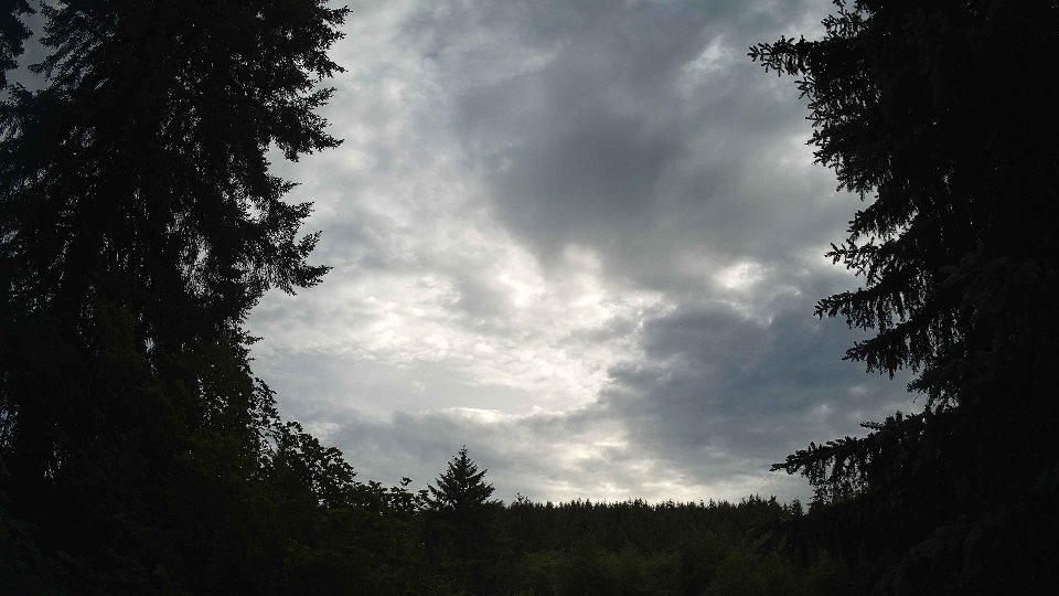
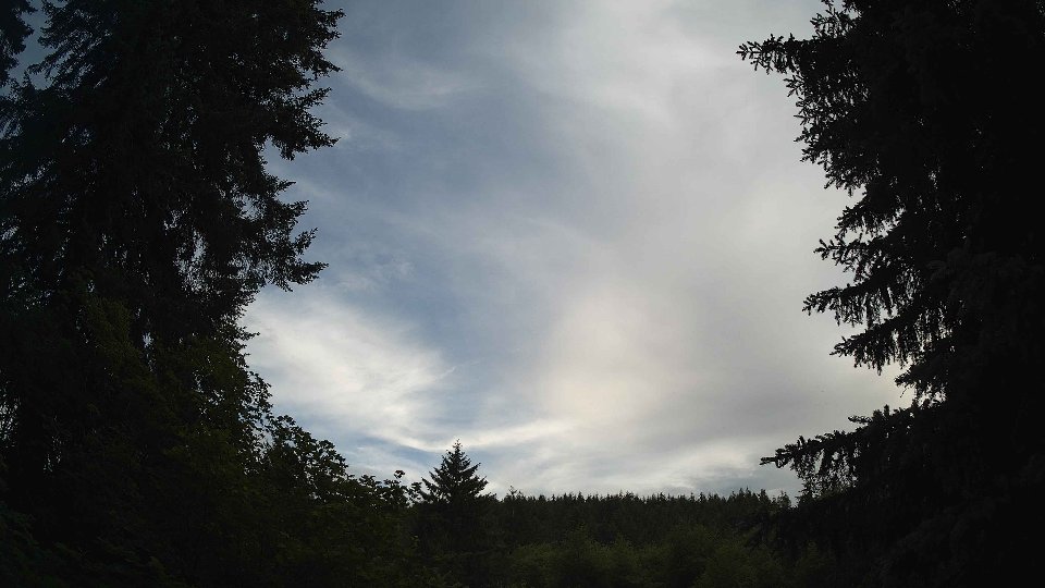
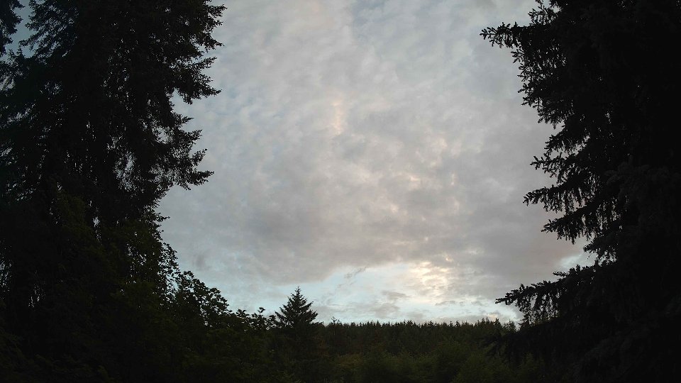
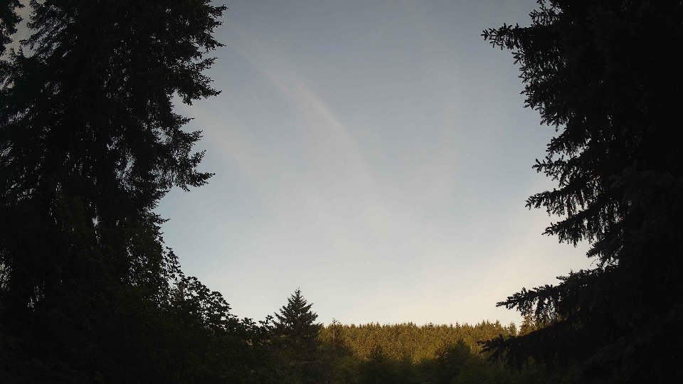
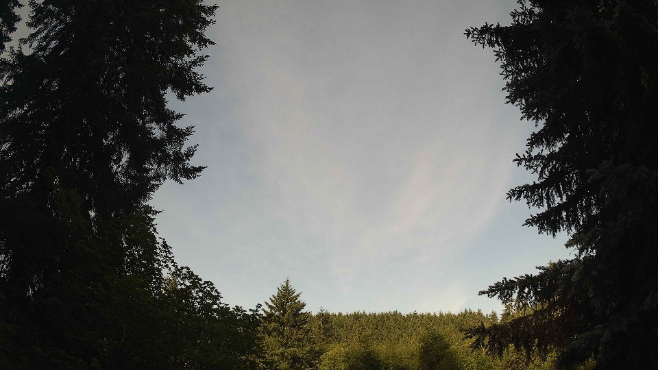
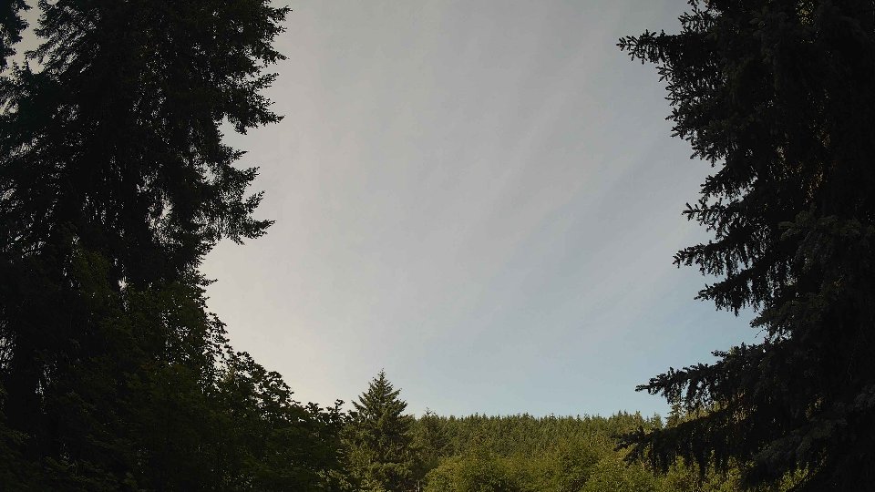
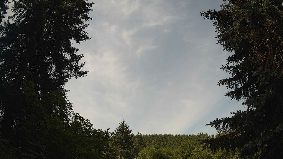
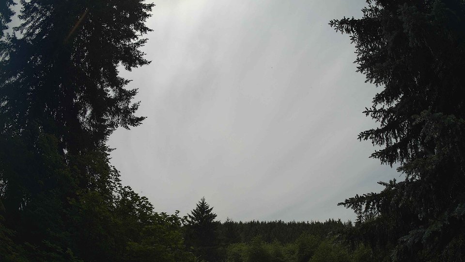
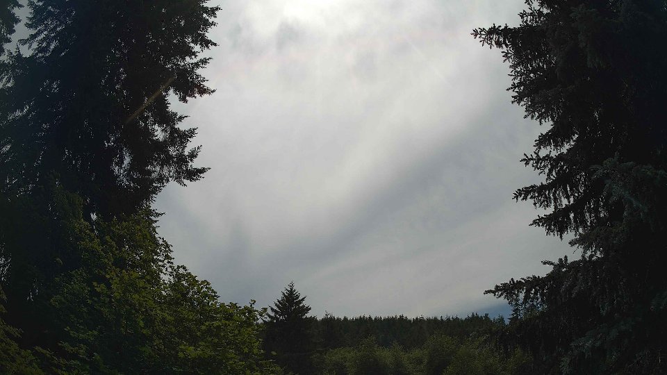
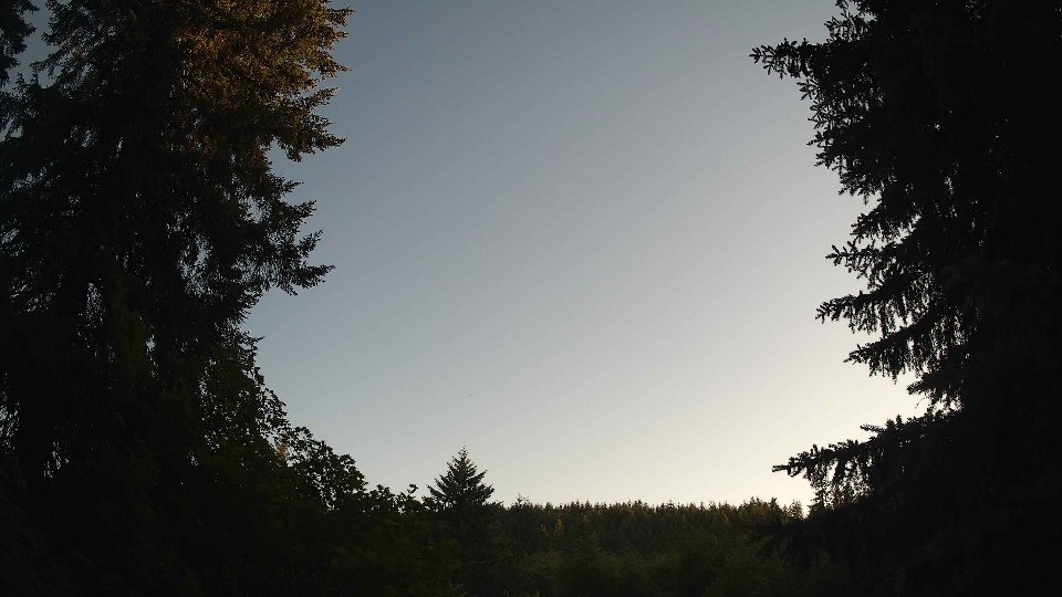
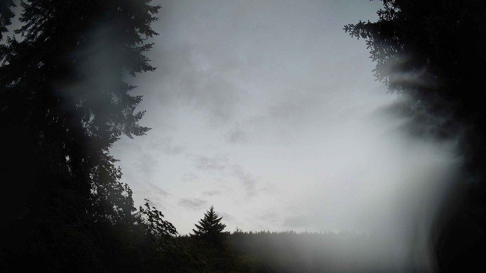
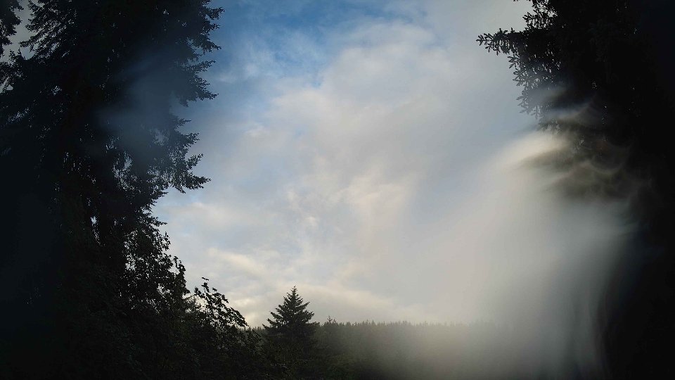
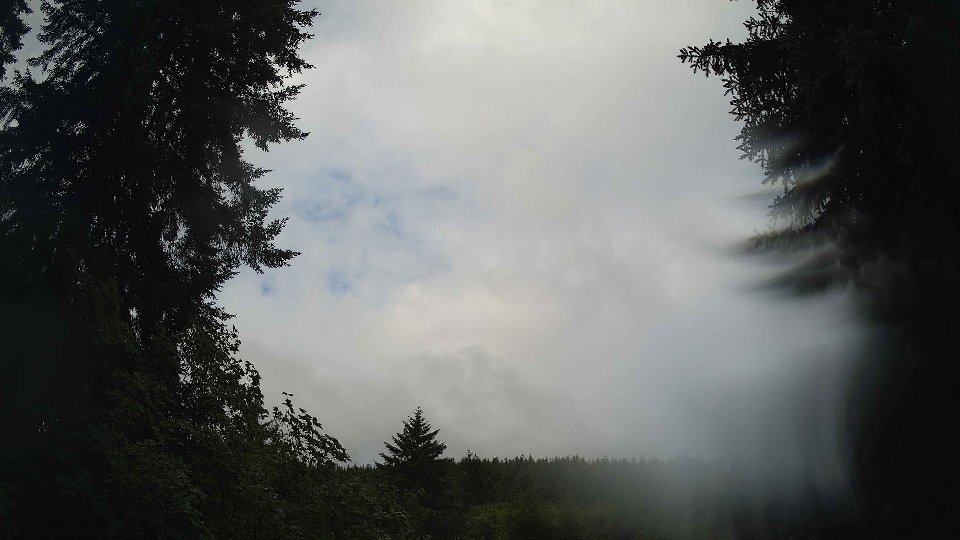
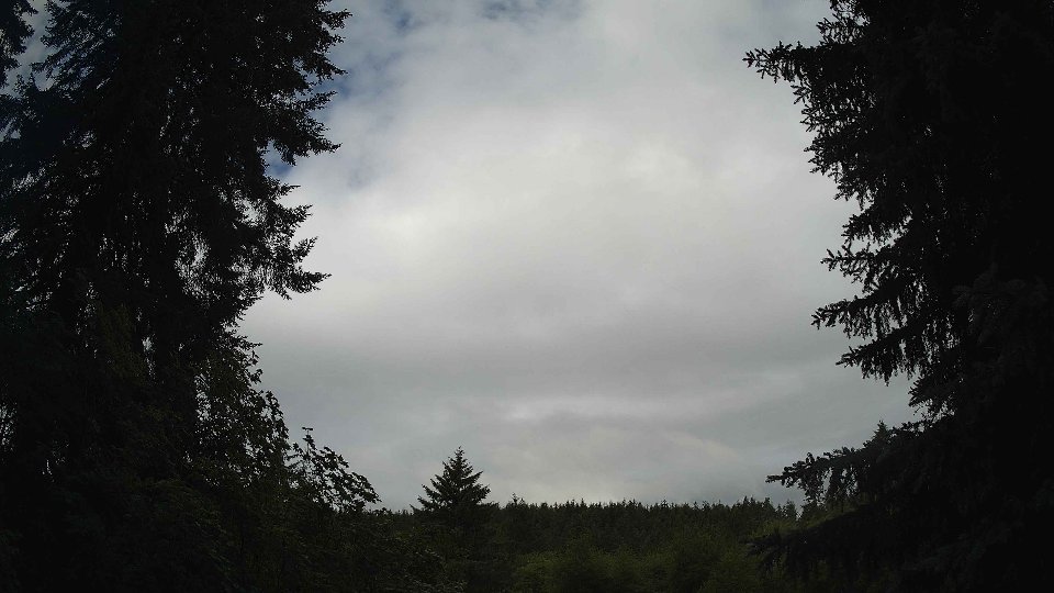
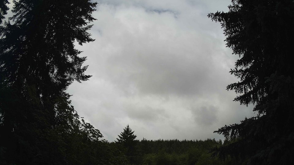
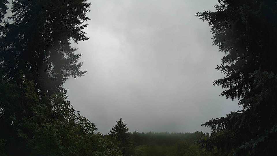
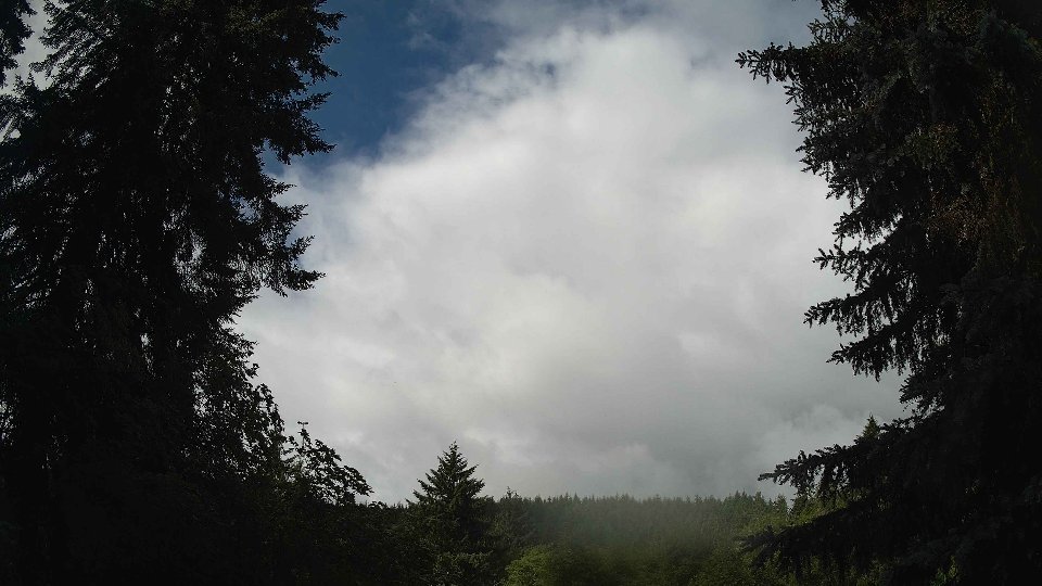
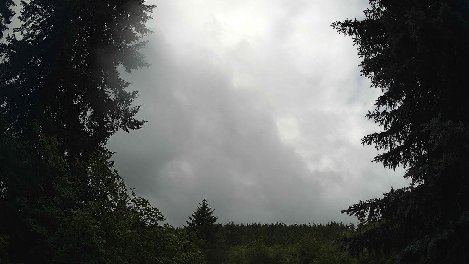
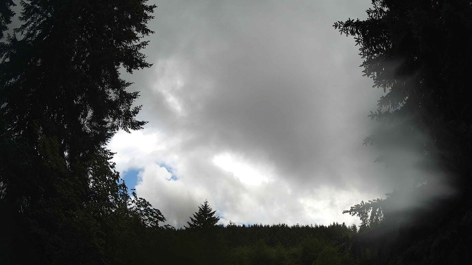
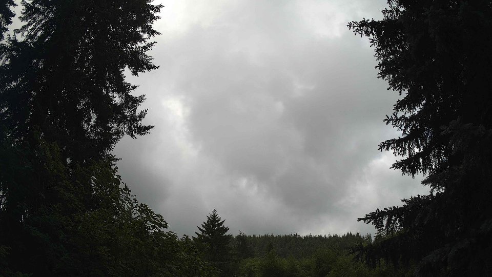
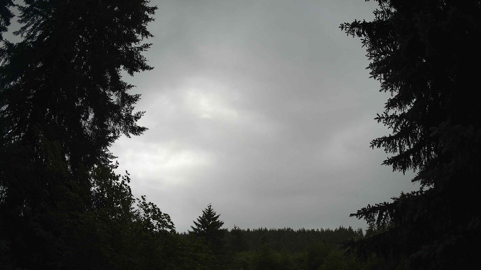
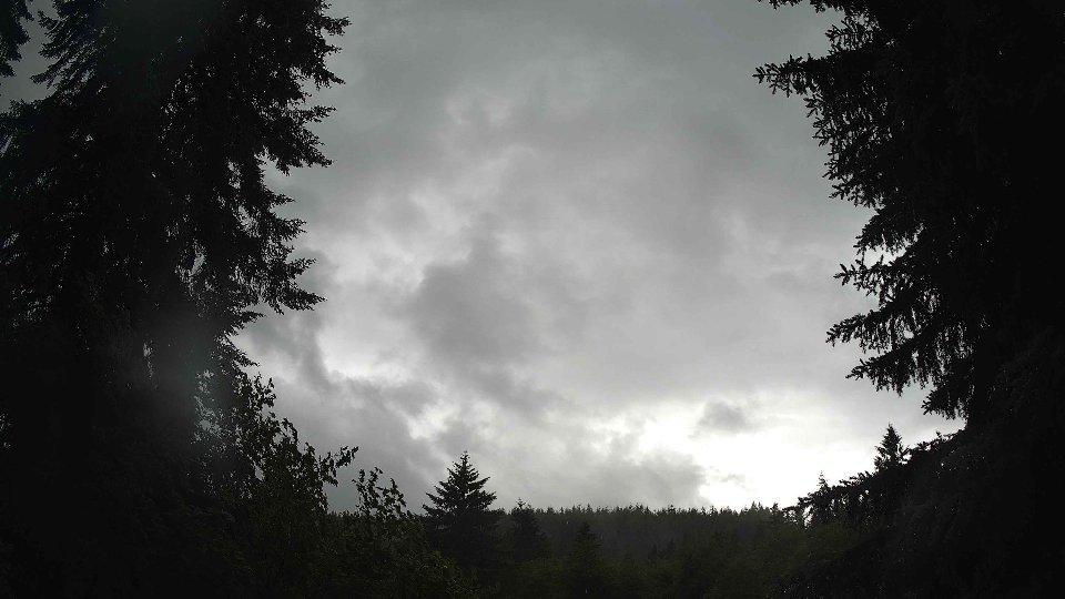
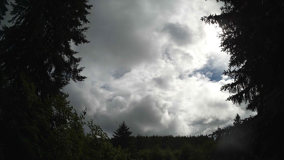
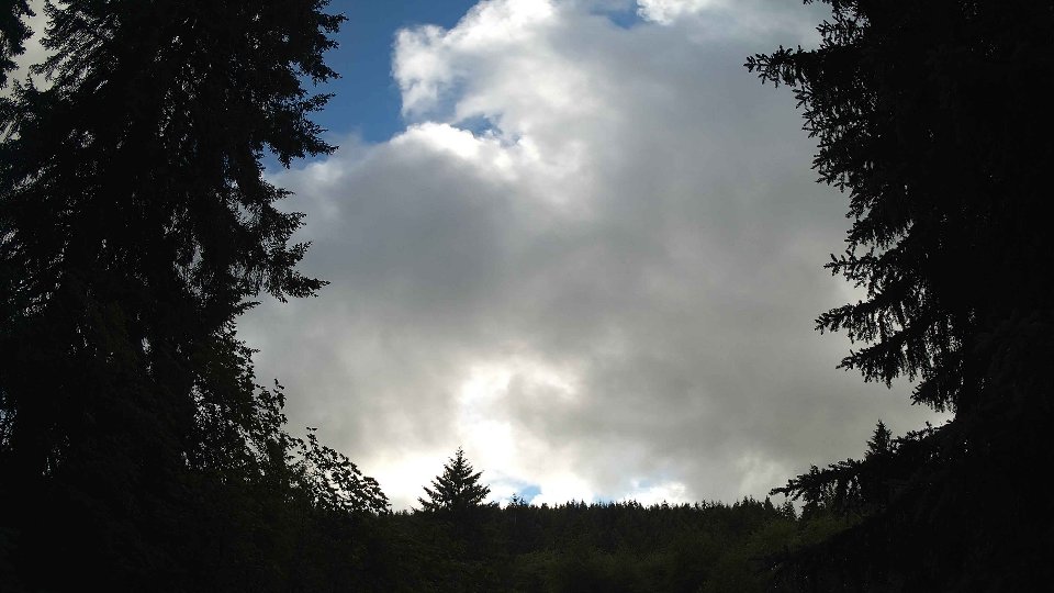
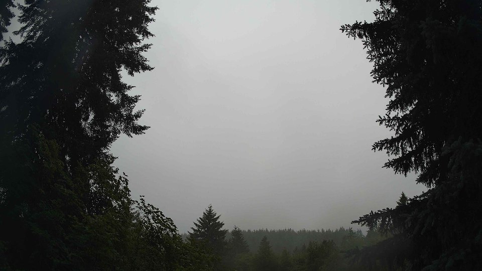
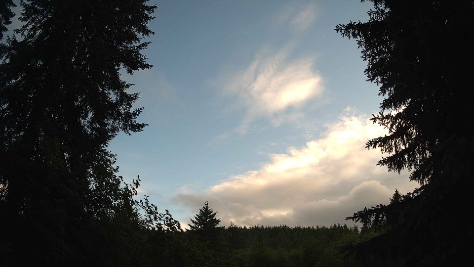
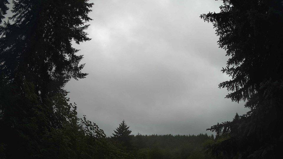
On June 4th, the morning began under a blanket of low clouds, which covered 69.8% of the sky. Surface winds were relatively gentle, averaging 4.3 mph and pushing softly from the southeast, while winds at 100 meters reached about 6.8 mph, slightly stronger and also blowing from the southeast. This configuration allowed the low cloud layer to drift slowly across the sky, with the prevailing winds at surface level not causing significant turbulence. The cool temperature of 53.6°F was accompanied by a light drizzle, yielding a mere 0.01 inches of precipitation. As the morning unfolded, the cloud cover remained dense, dominated by the low clouds, with minimal mid or high cloud presence, allowing for a grey and overcast start to the day.
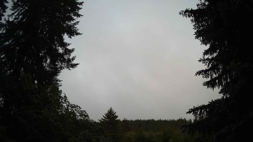
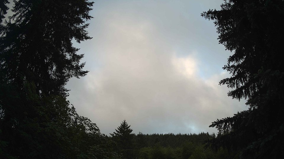
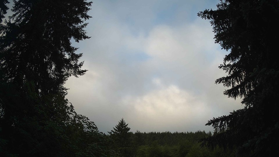
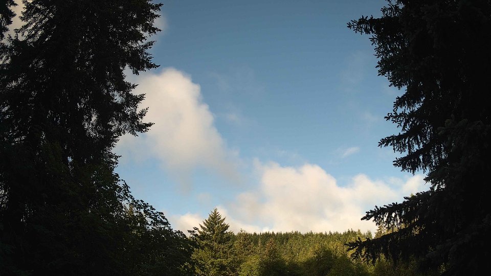
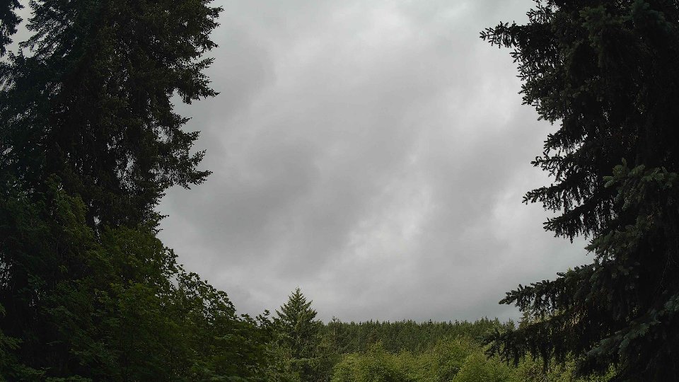
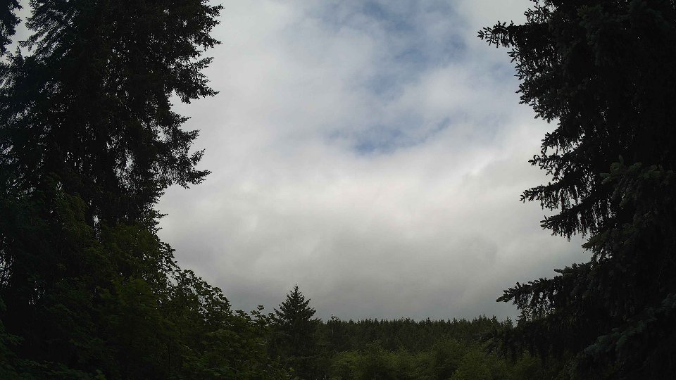
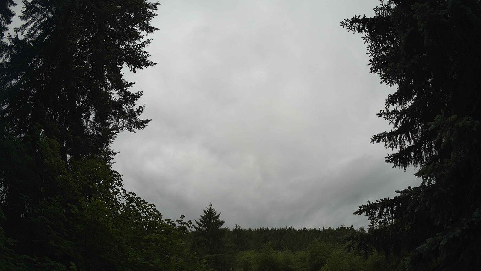
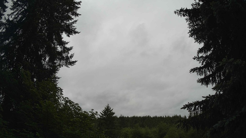
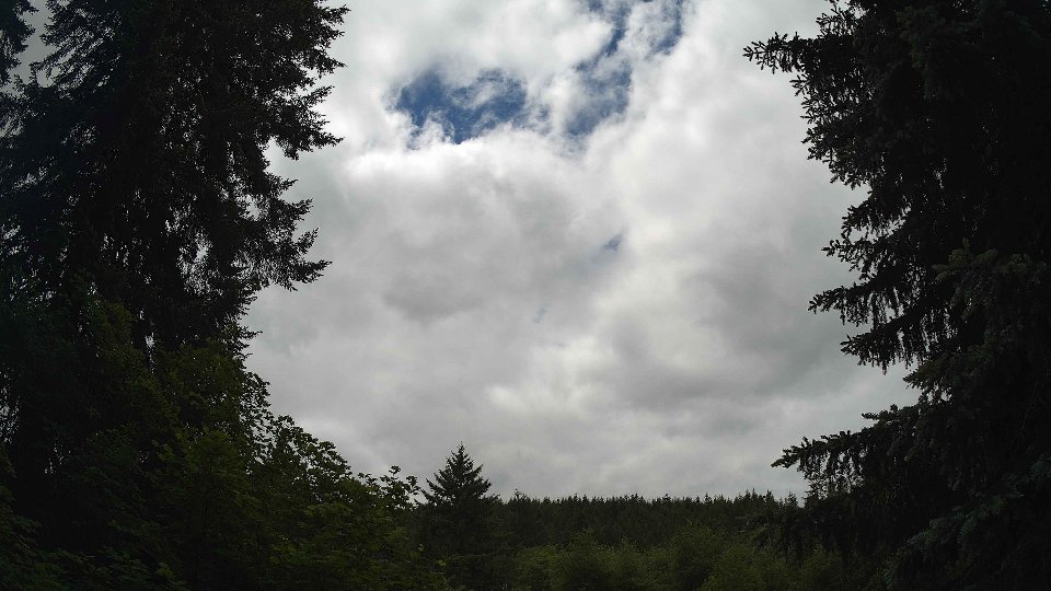
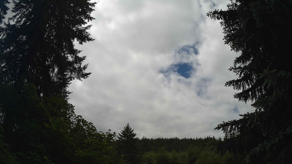
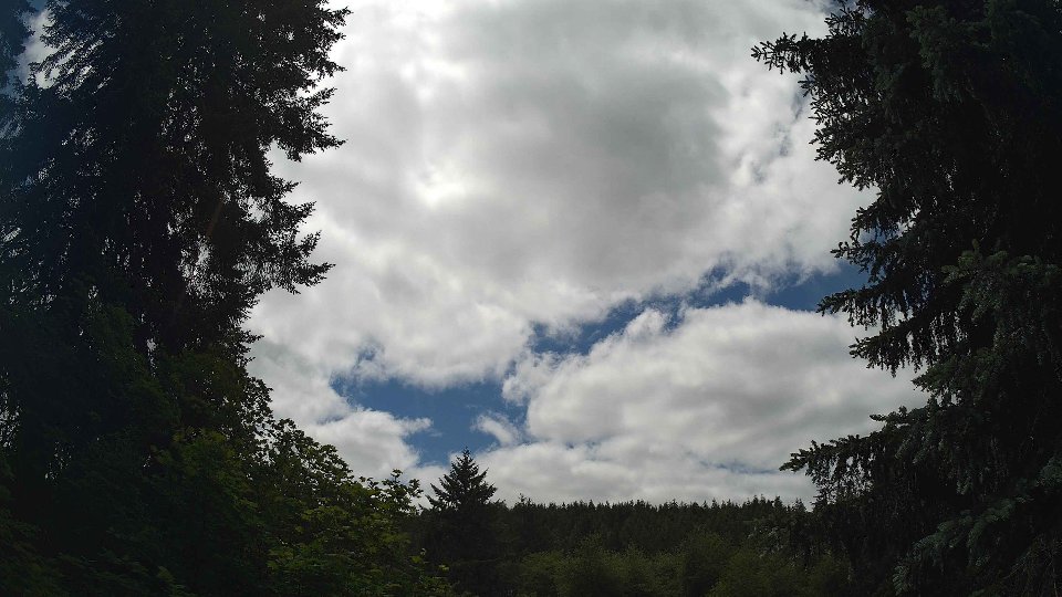
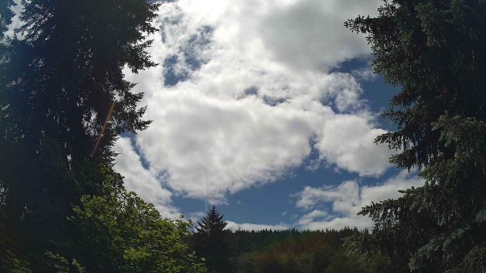
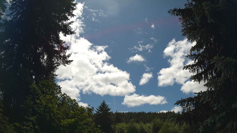
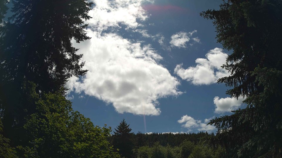
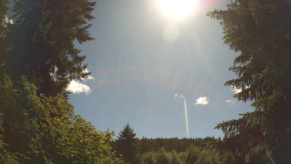
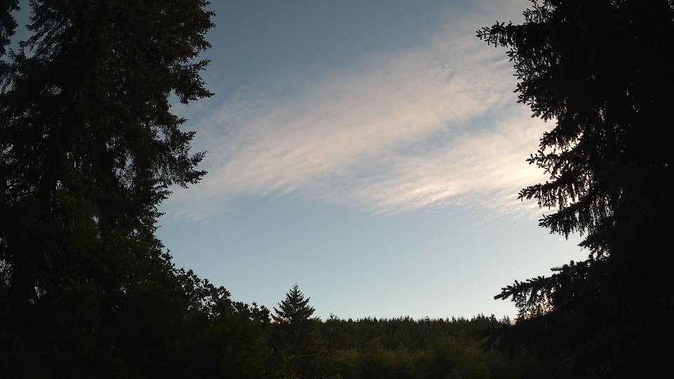
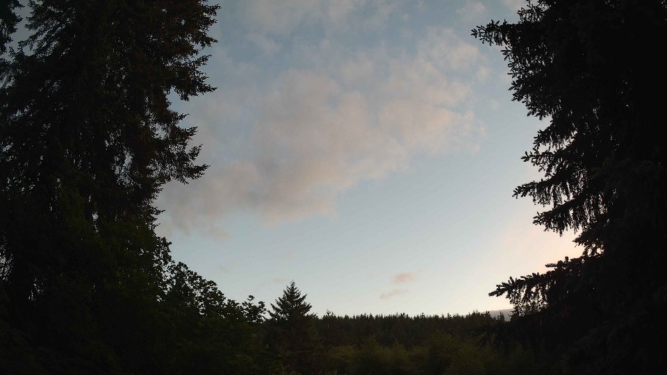
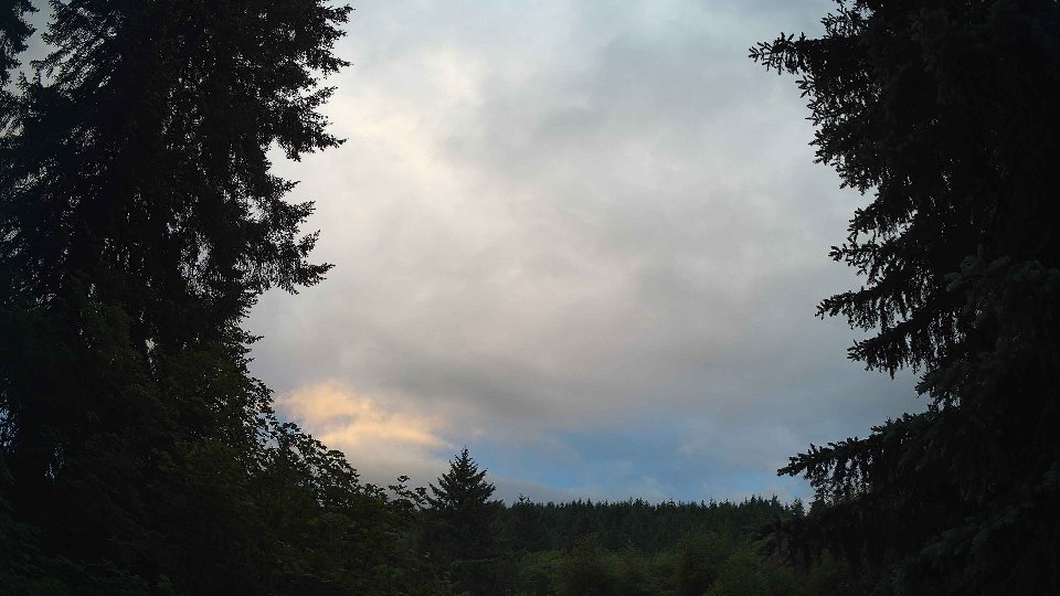
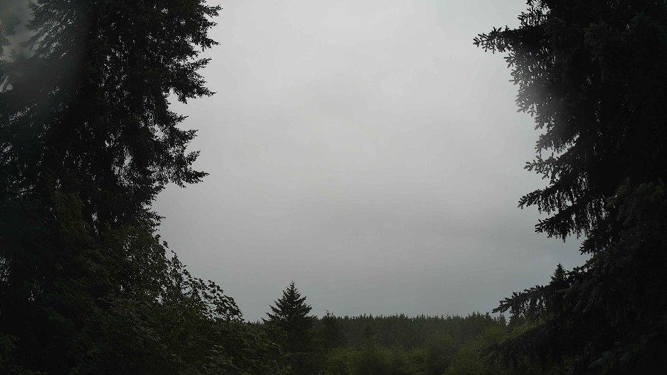
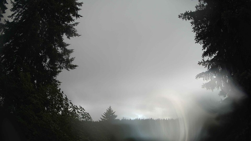
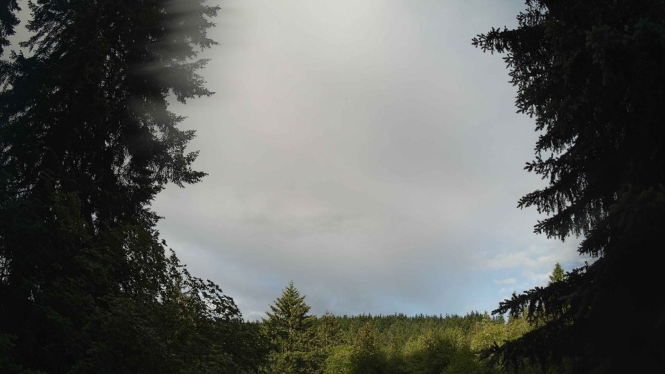
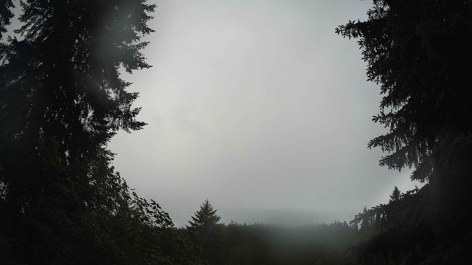
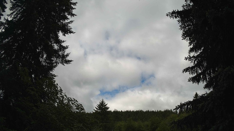
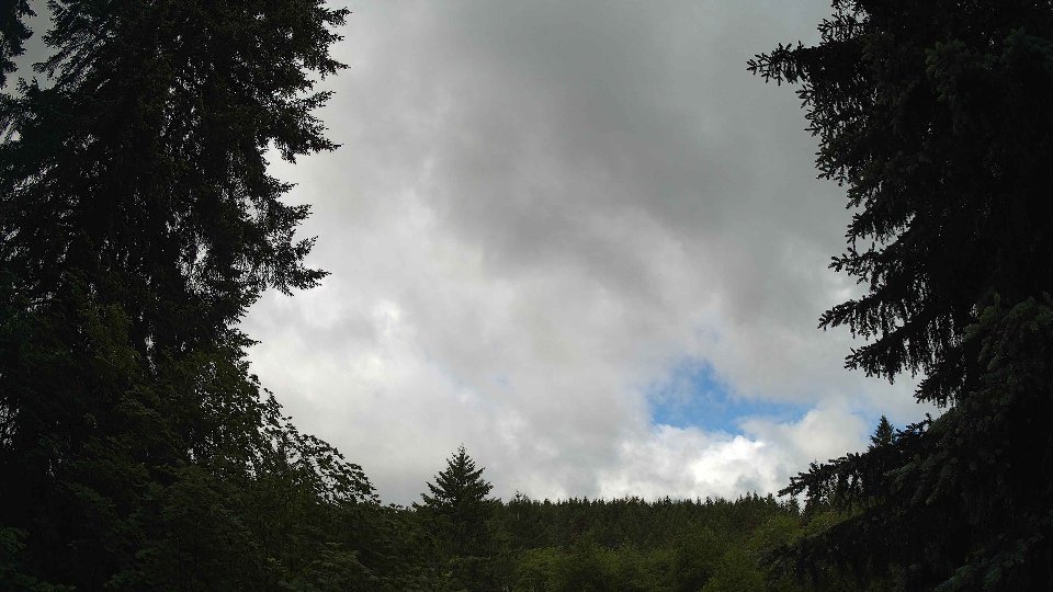
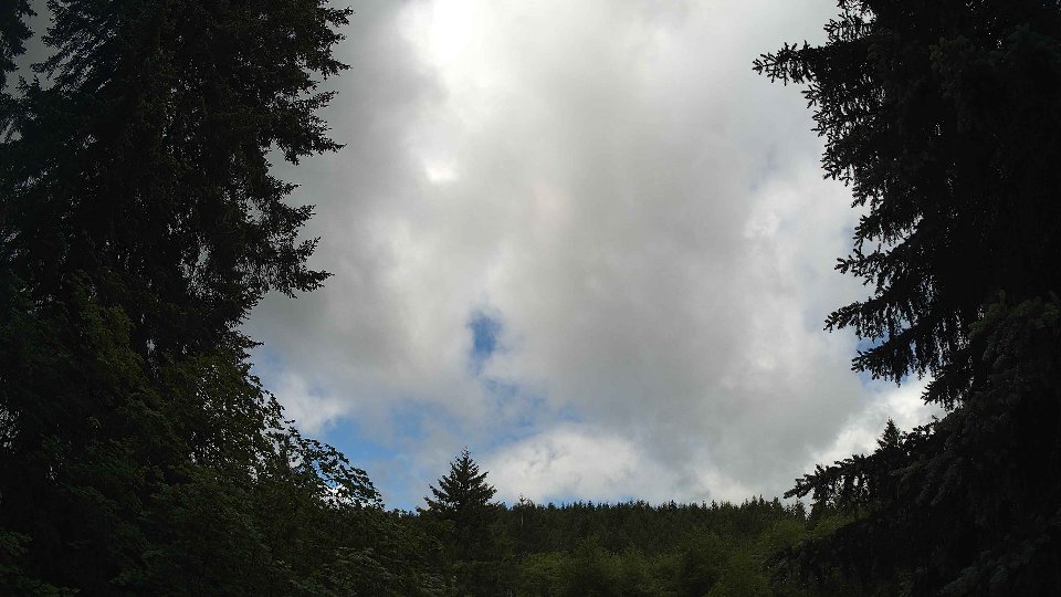
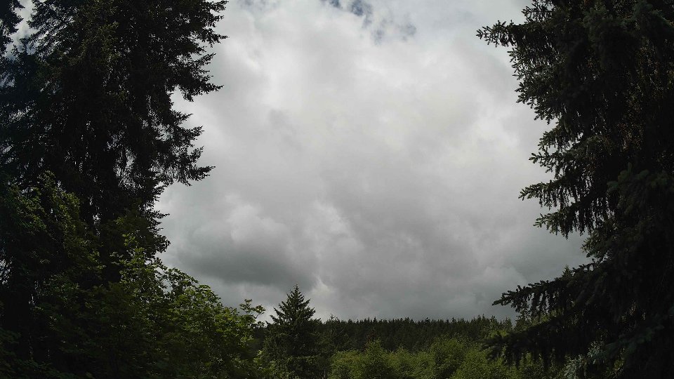
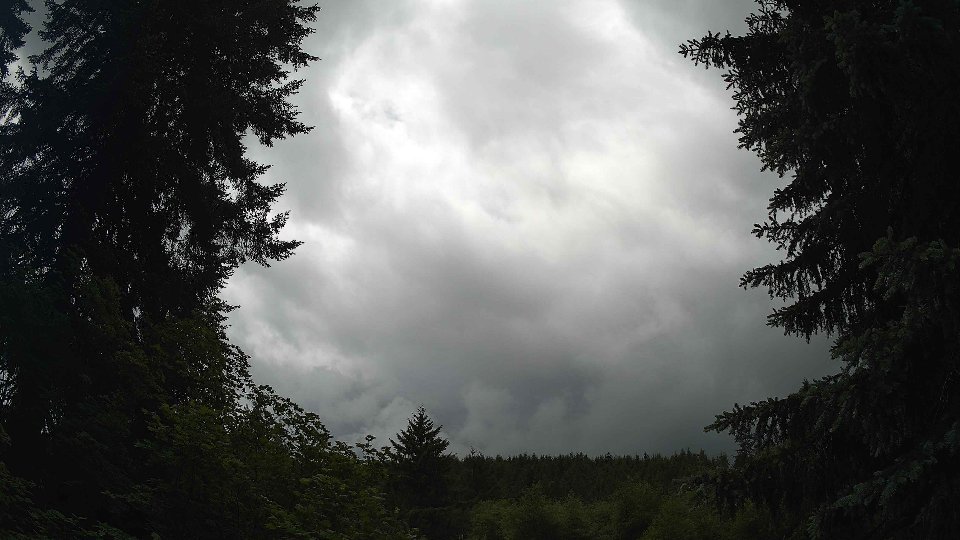
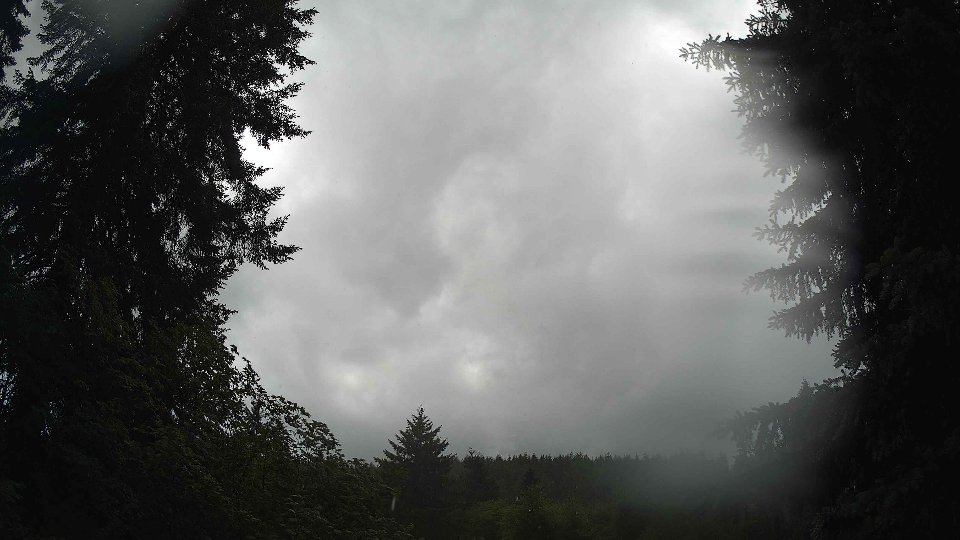
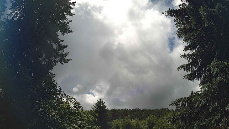
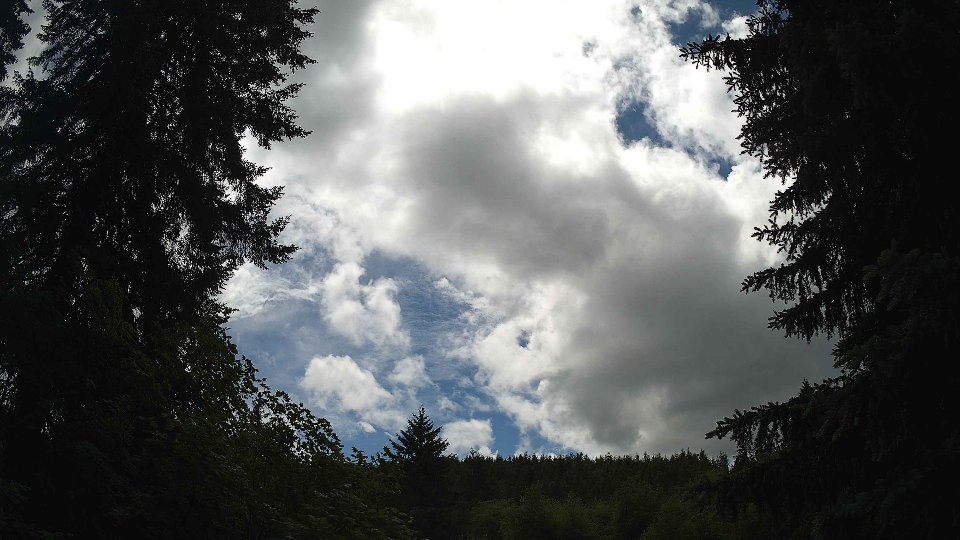
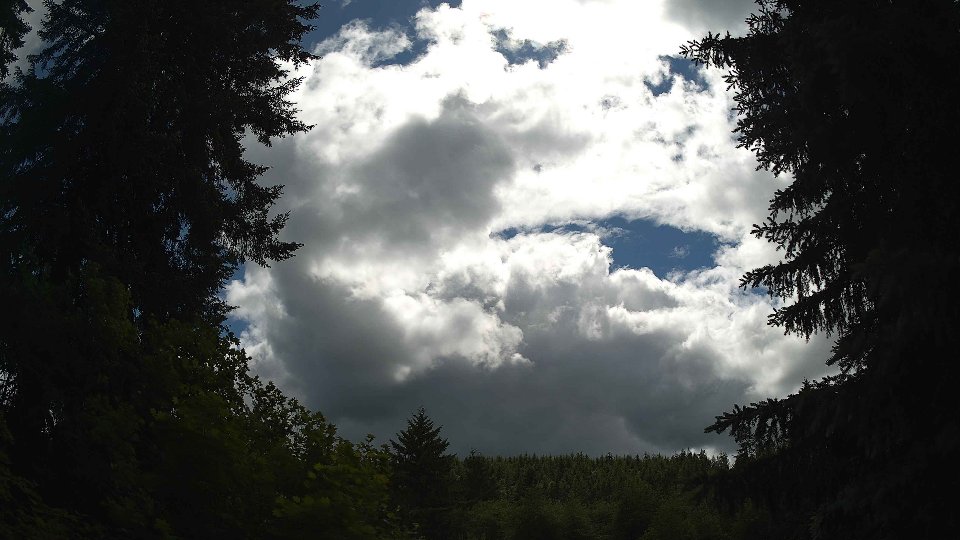
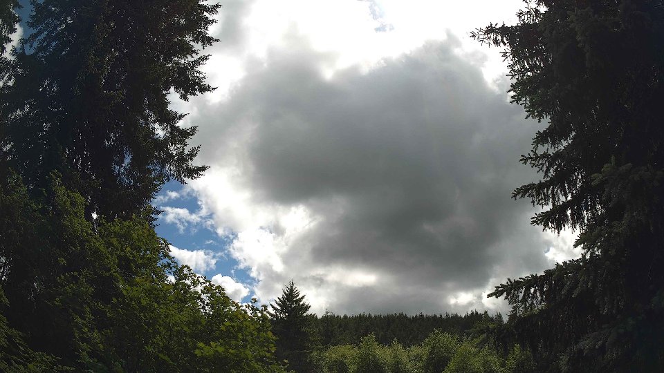
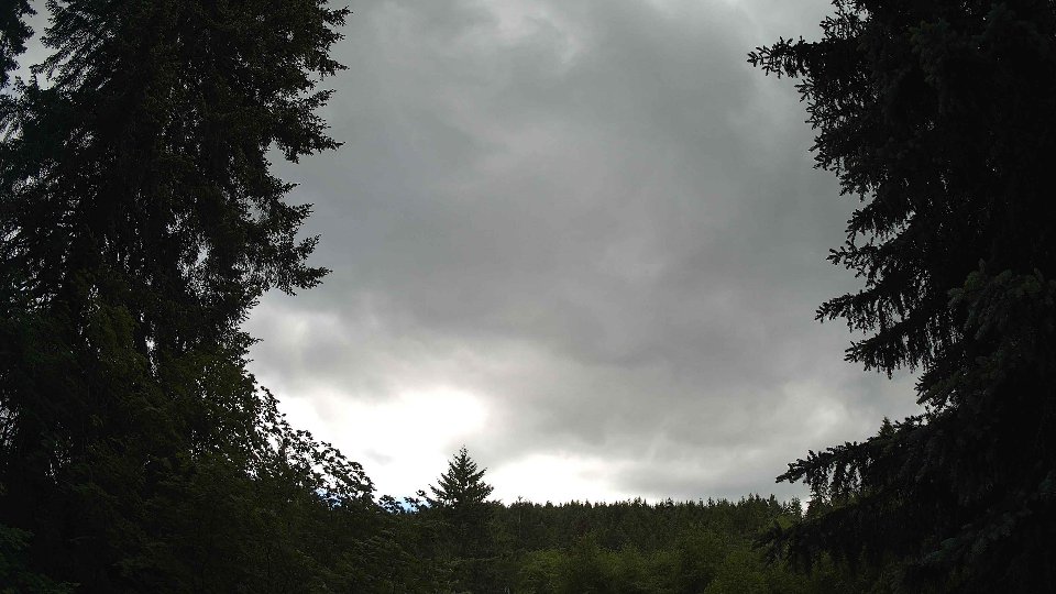
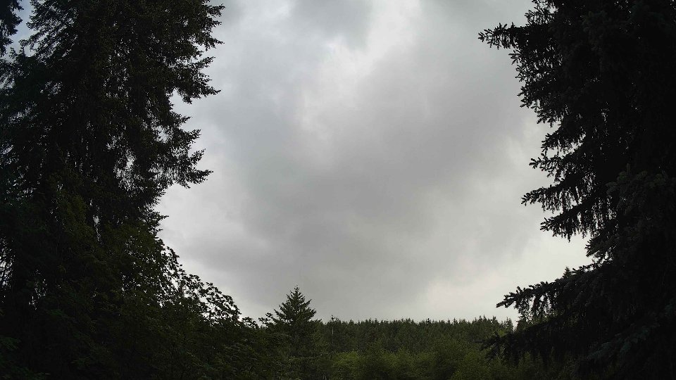
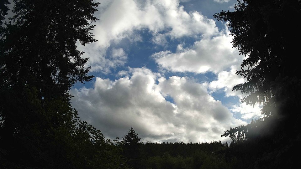
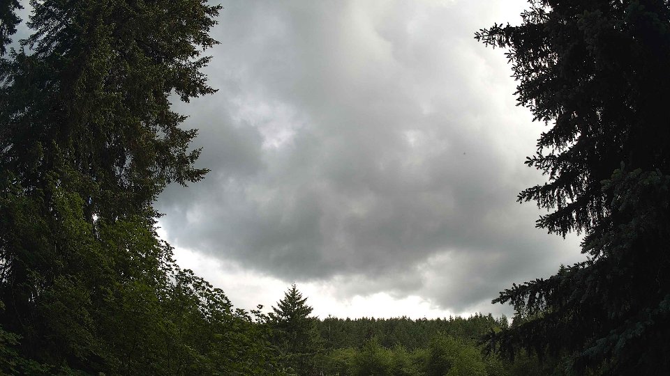
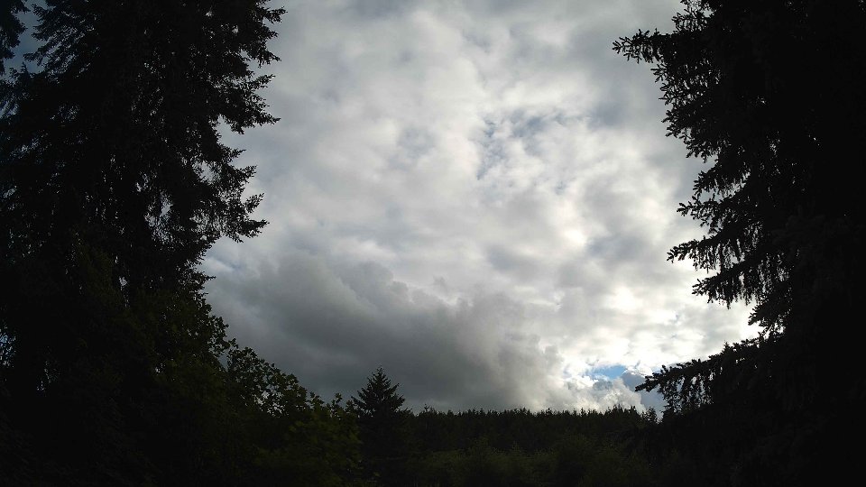
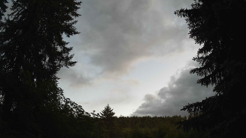
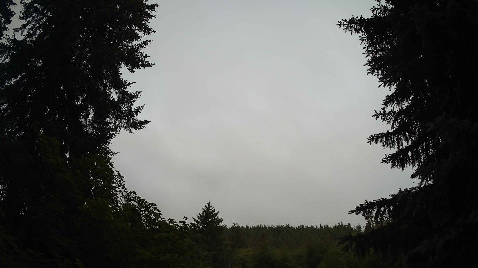
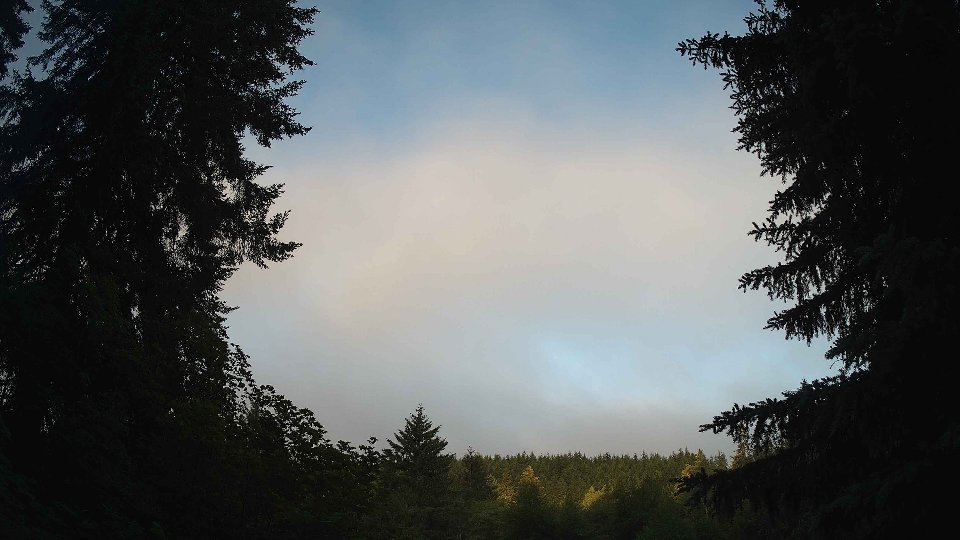
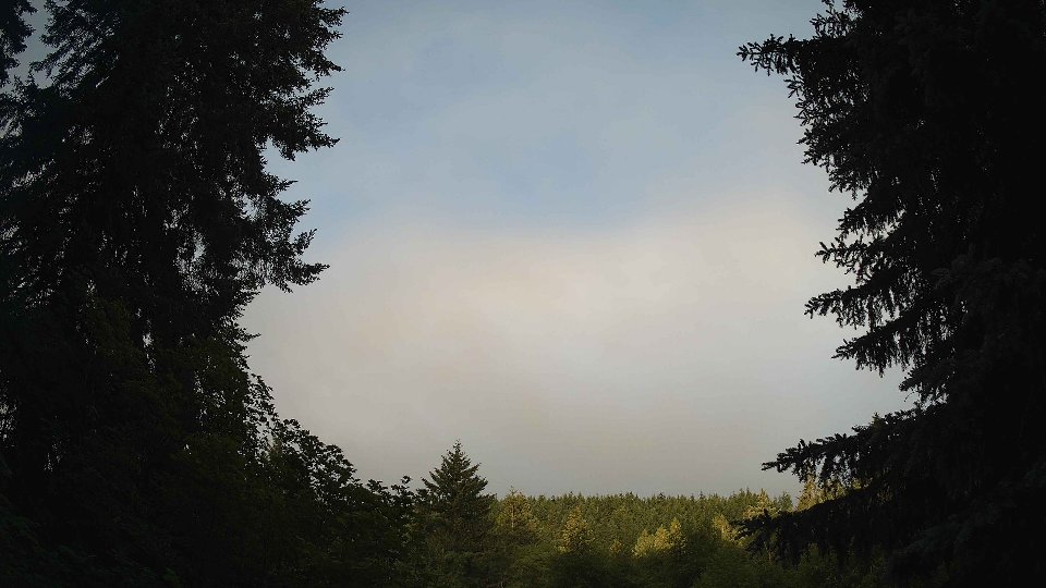
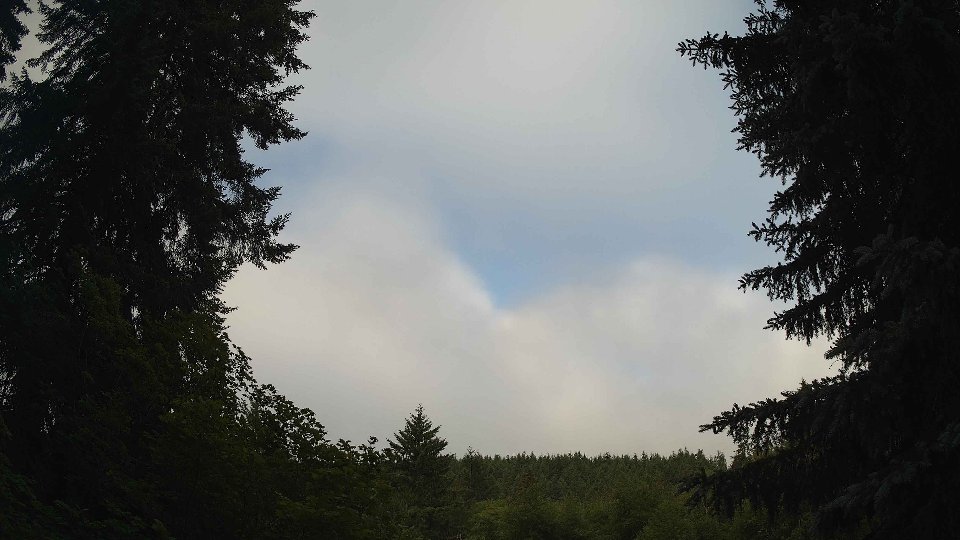
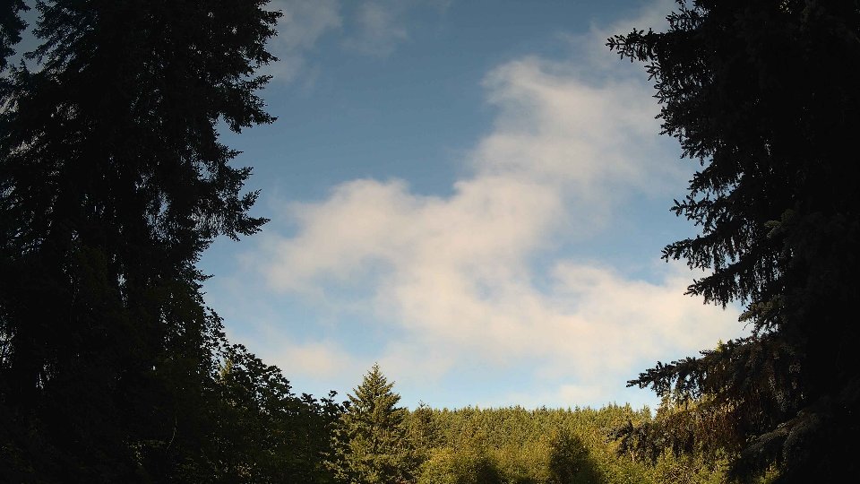
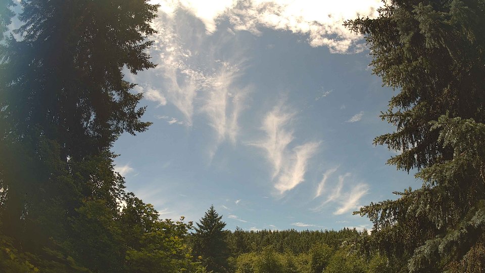
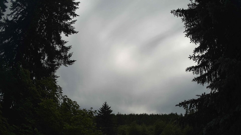
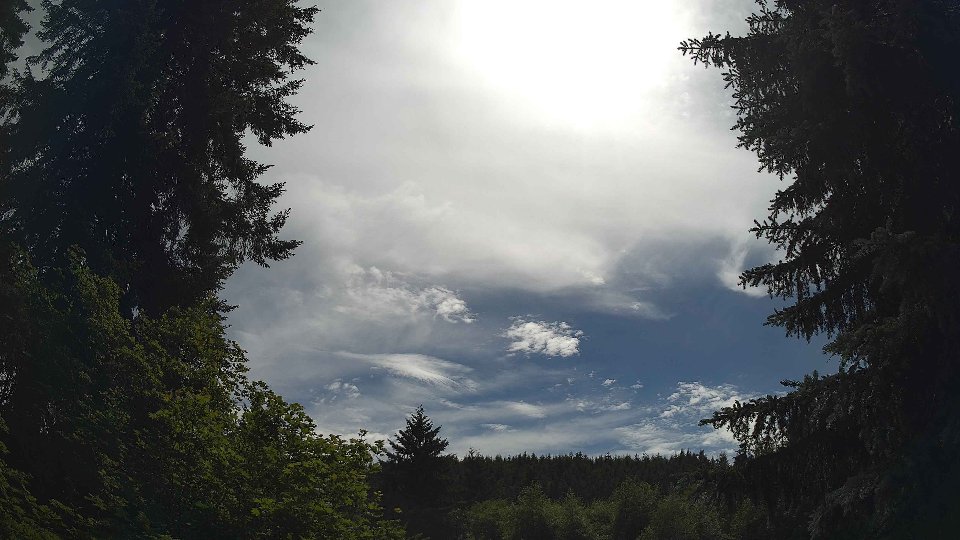
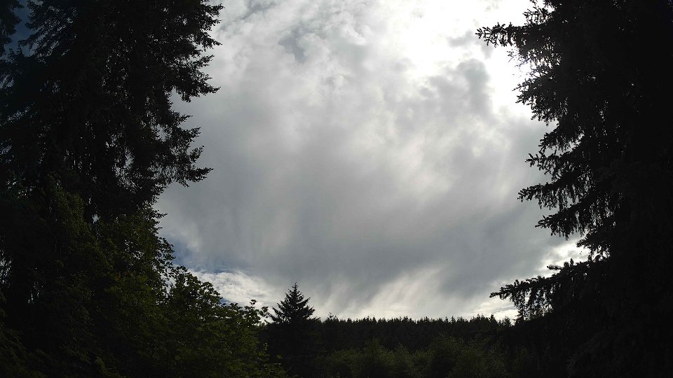
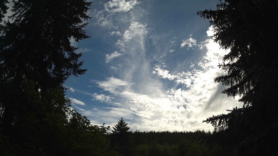
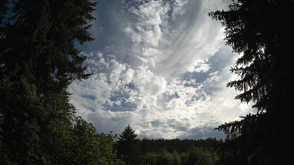
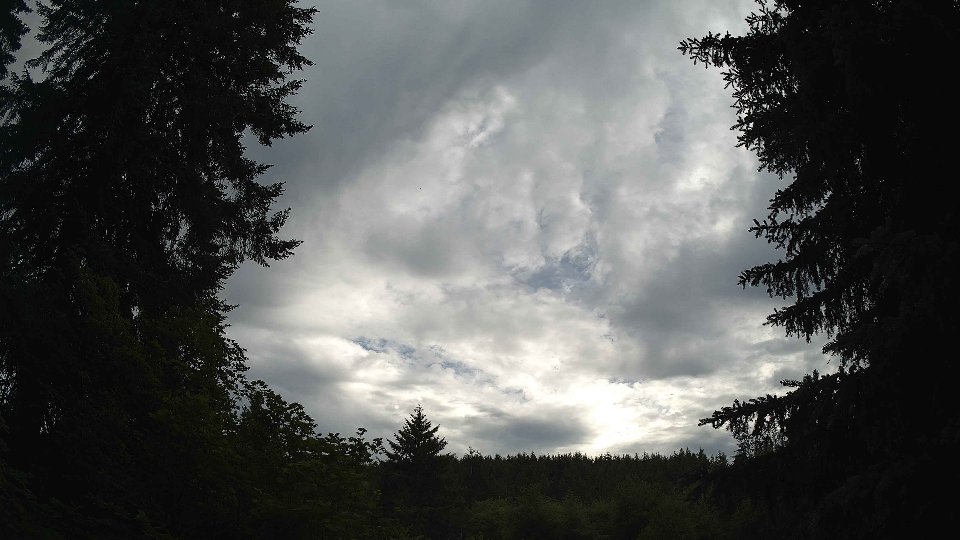
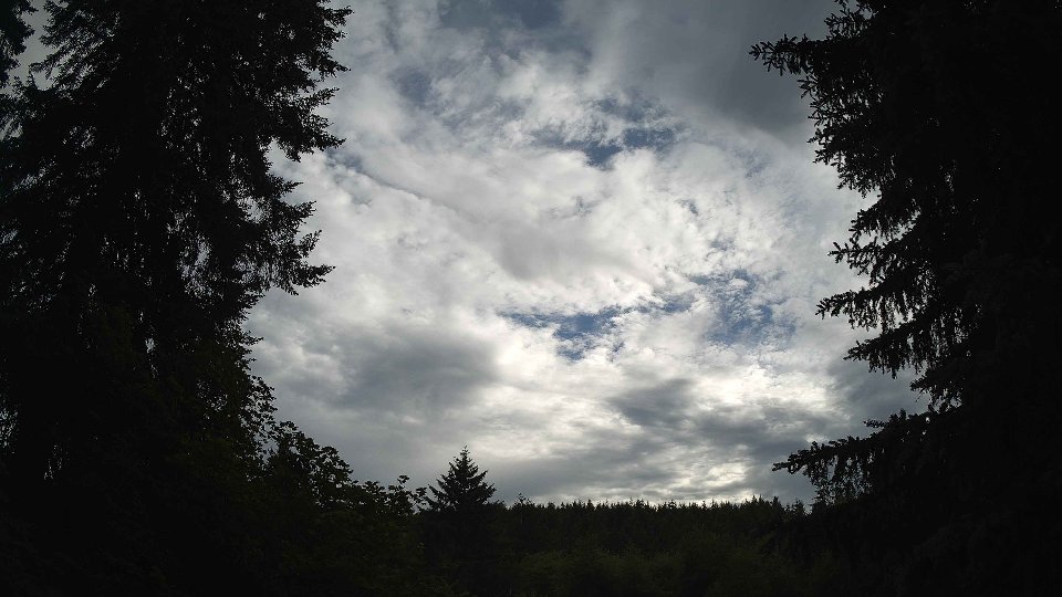
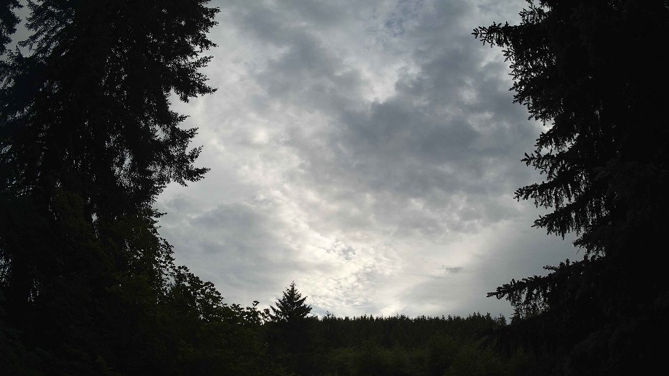
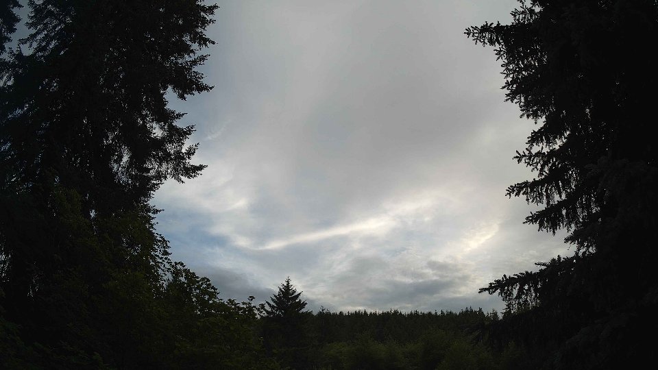
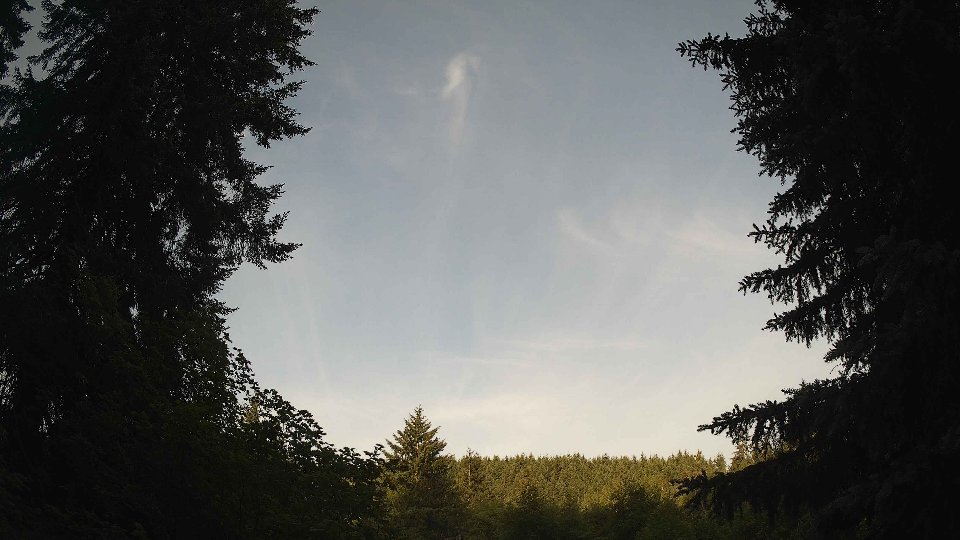
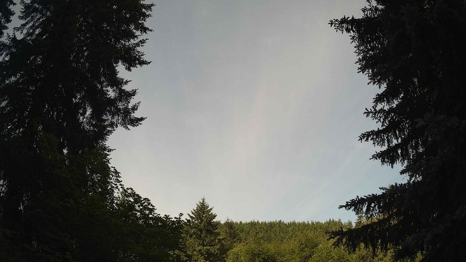
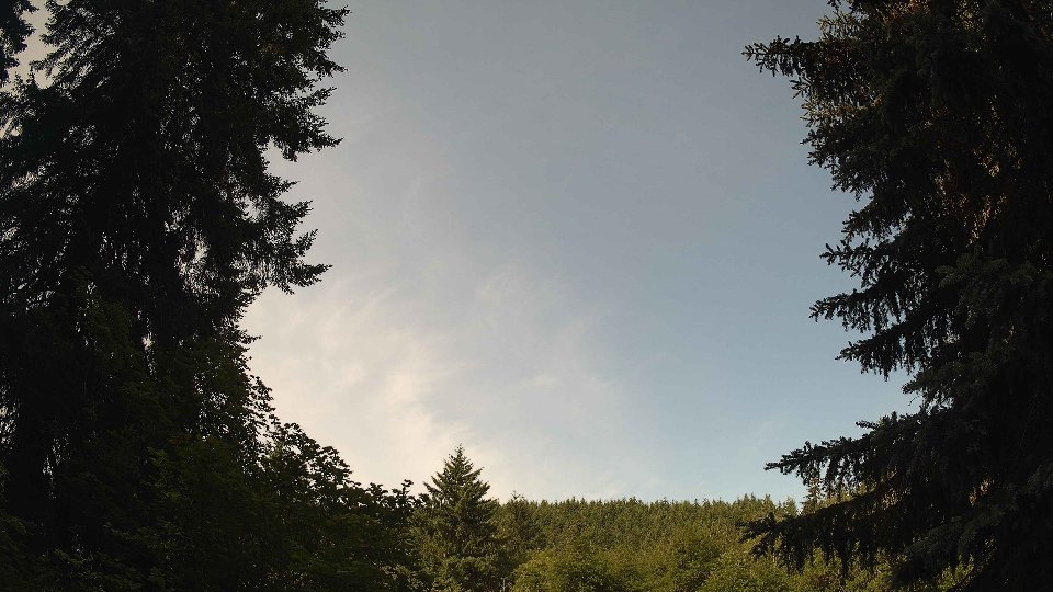
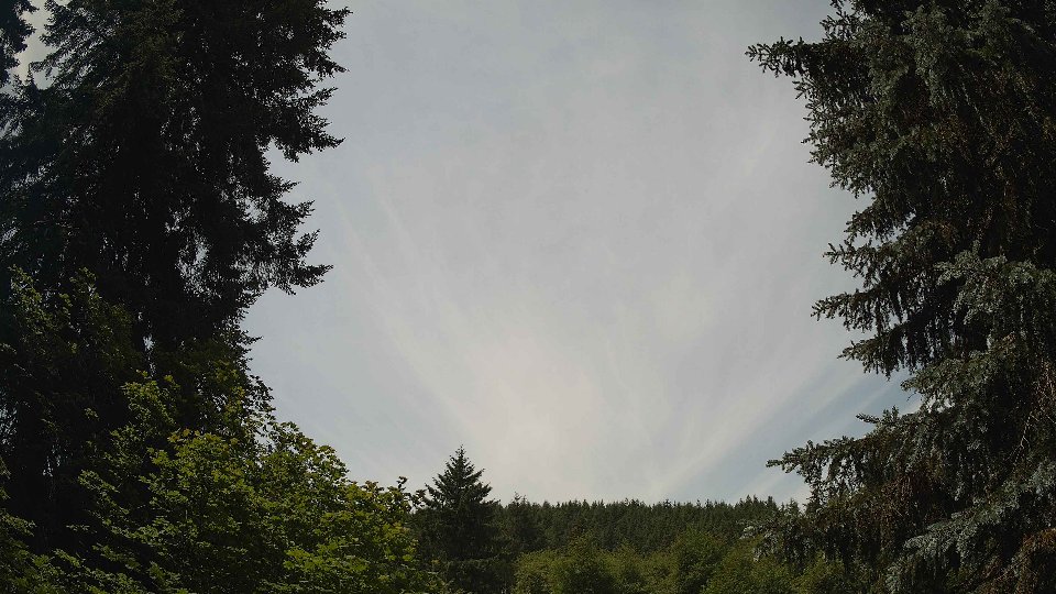
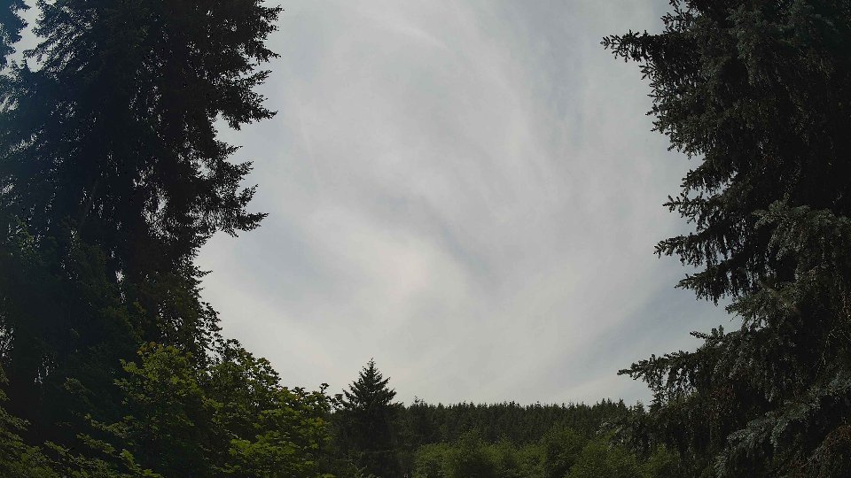
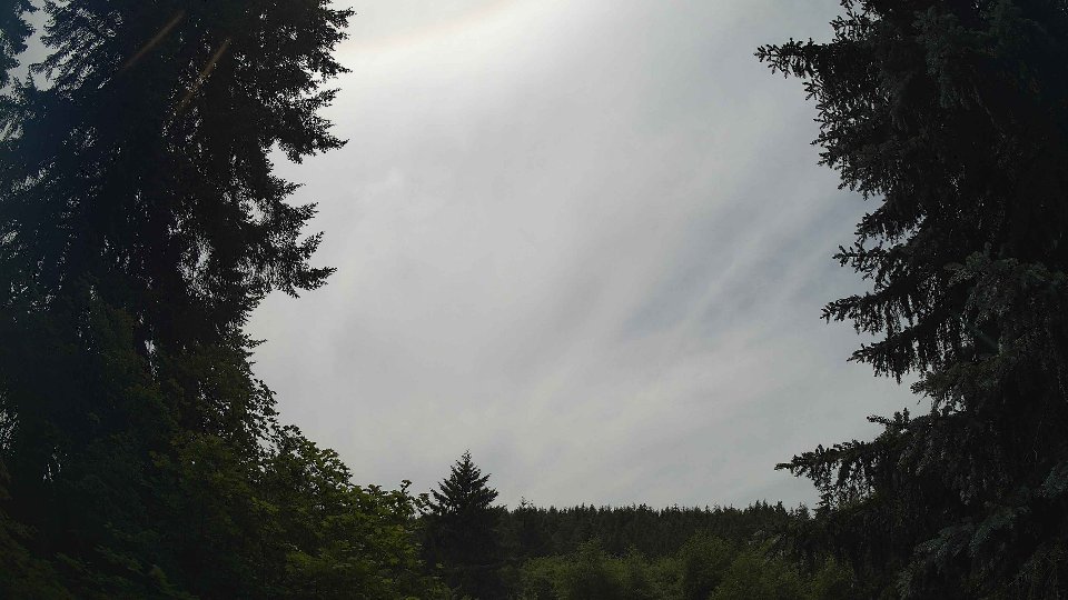
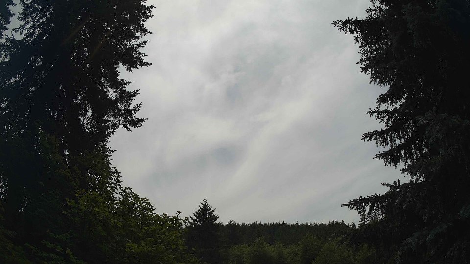
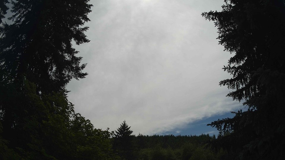
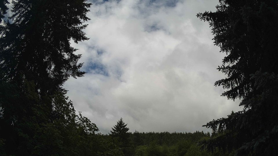
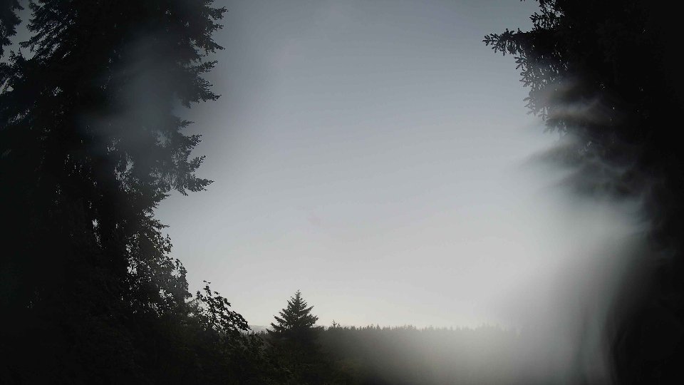
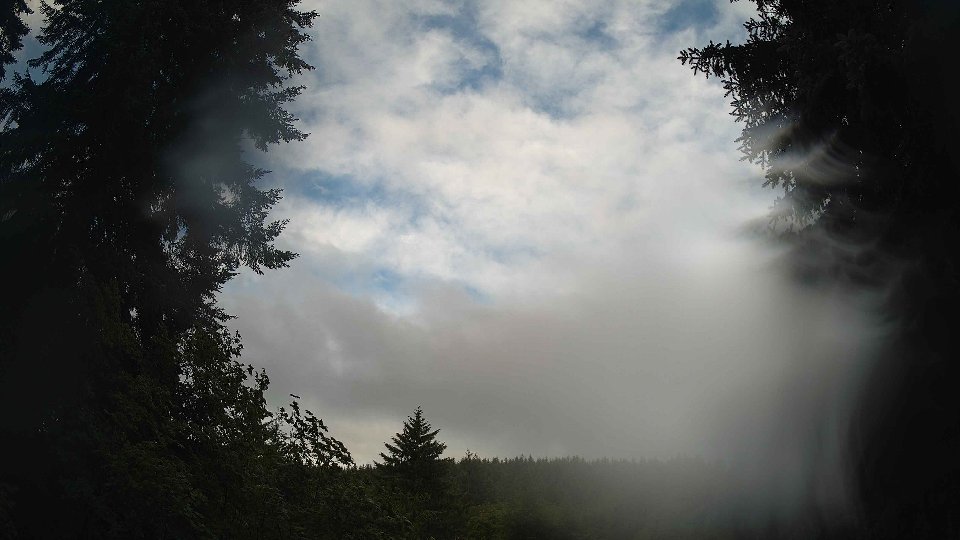
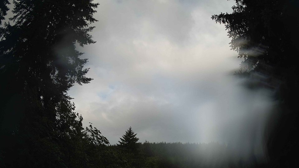
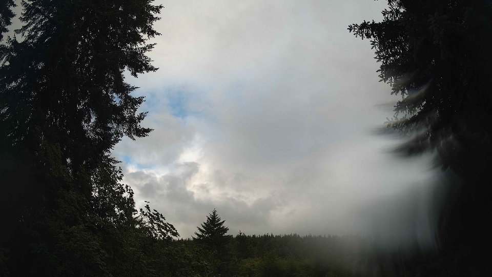
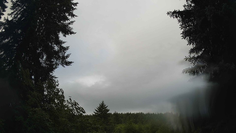
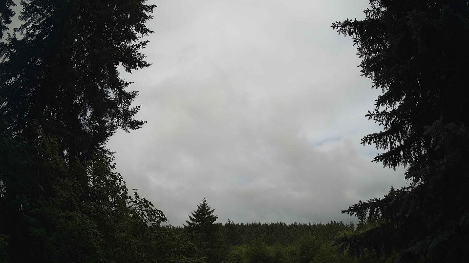
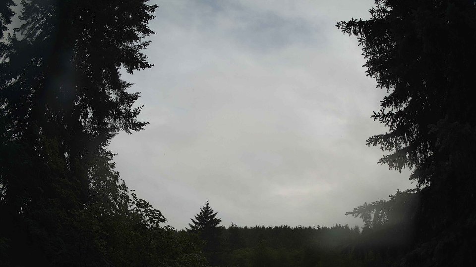
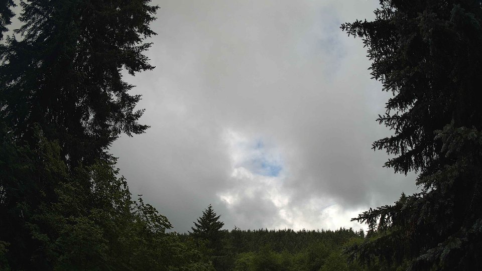
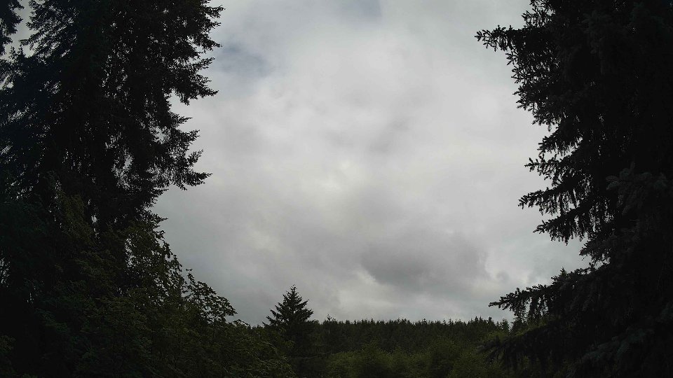
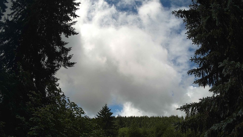
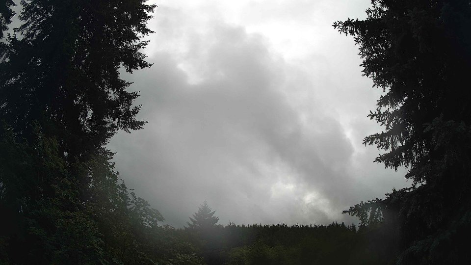
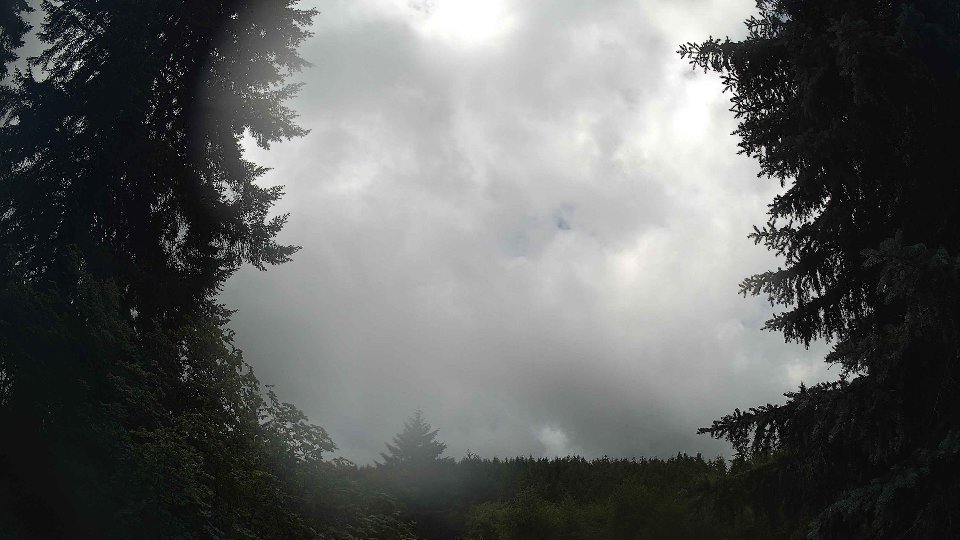
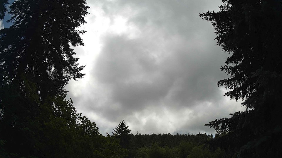
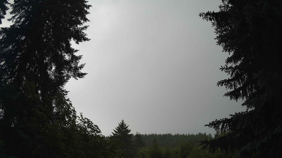
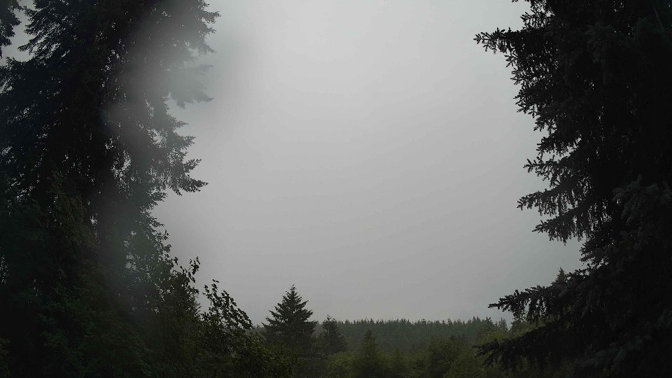
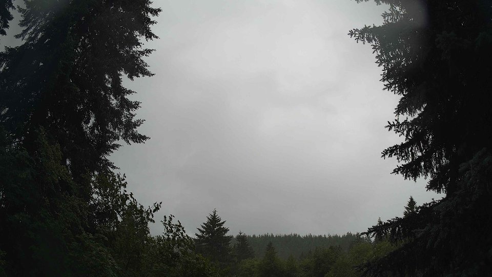
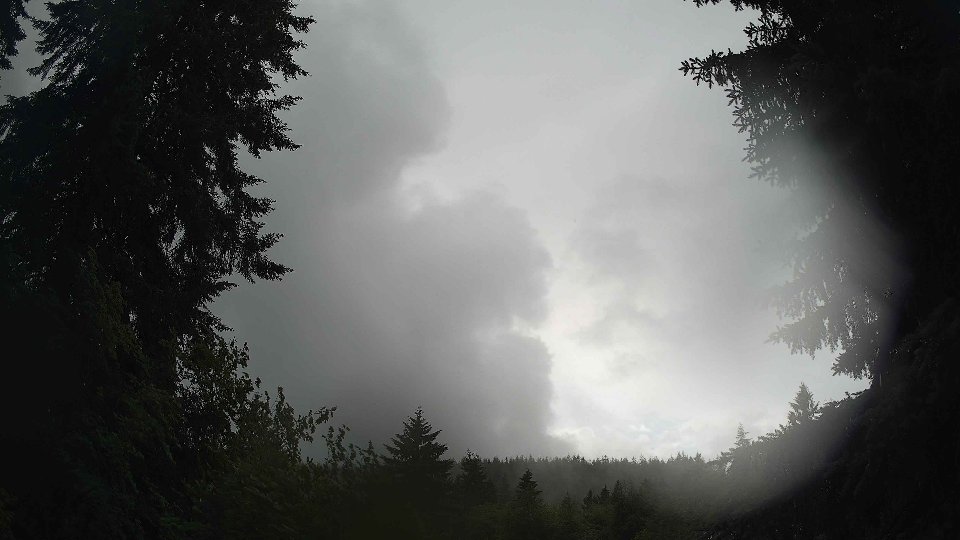
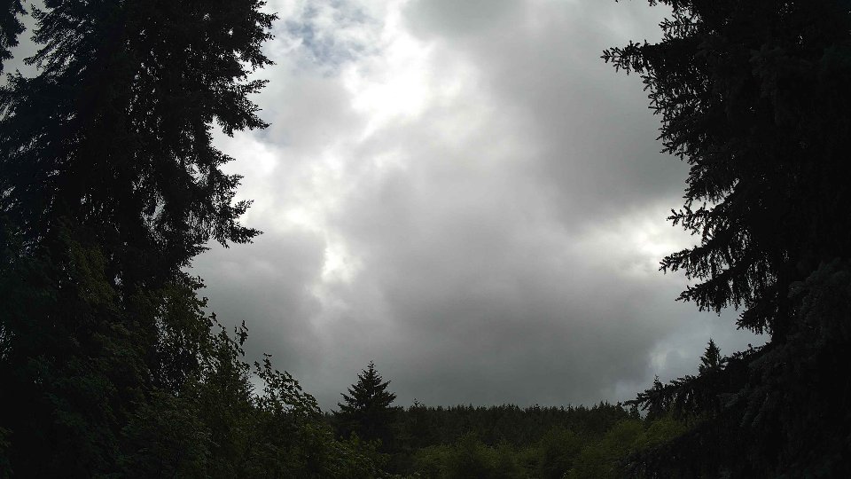
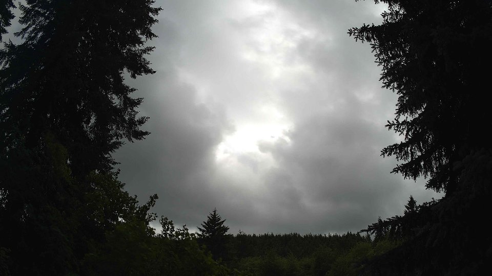
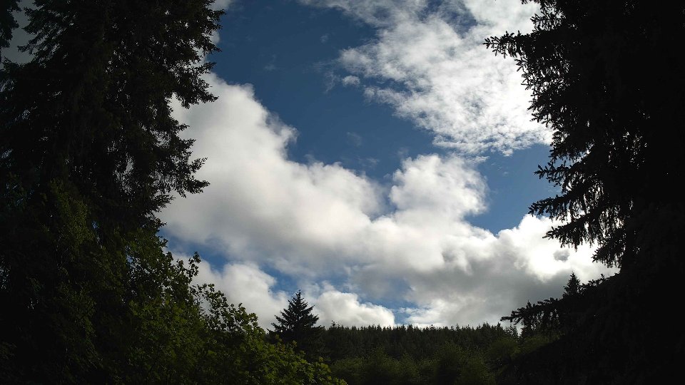
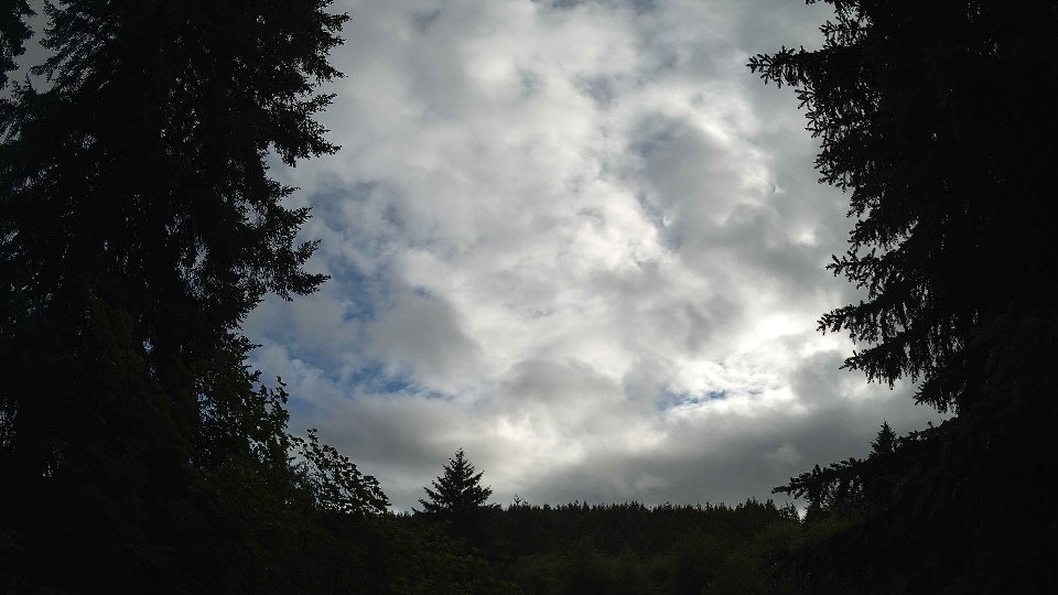
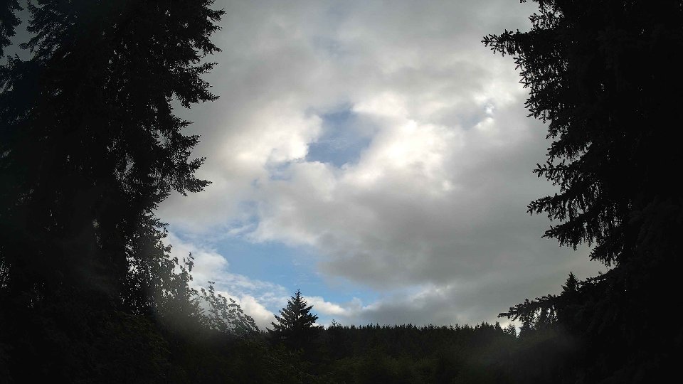
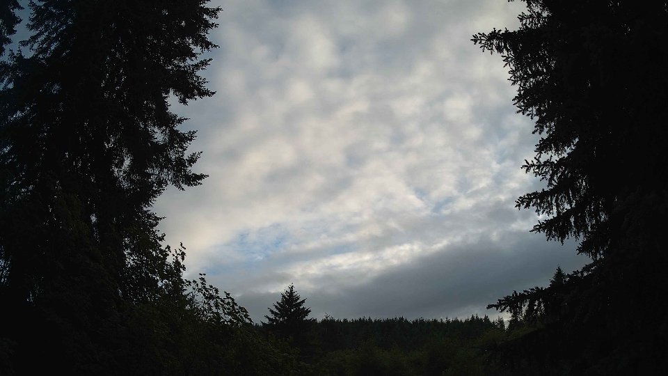
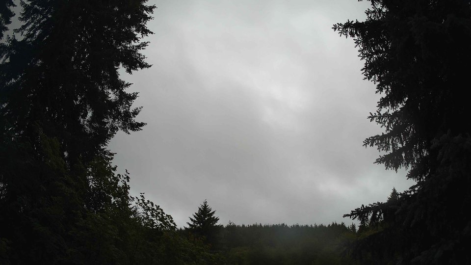
As the day progressed into midday, conditions evolved significantly. The surface winds increased slightly to an average of 5.4 mph, while the winds at 100 meters rose to about 7.1 mph. This increase began to affect the cloud dynamics, with cloud cover swelling to 85%, predominantly due to a rise in low cloud density to 81.8%. However, a notable shift occurred with the appearance of high clouds, which constituted 7.5% of the cover, moving in a different direction compared to the low clouds. The interaction between the low and high clouds created a fascinating visual contrast, as the high clouds, driven by stronger winds aloft, raced across the sky at a faster pace. The lack of precipitation by this time allowed for clearer visibility of the shifting cloud layers, showcasing the complex interplay of wind patterns that added depth to the overcast sky.
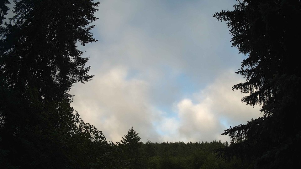
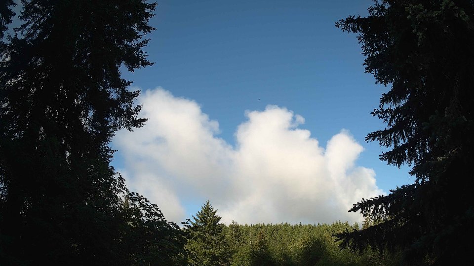
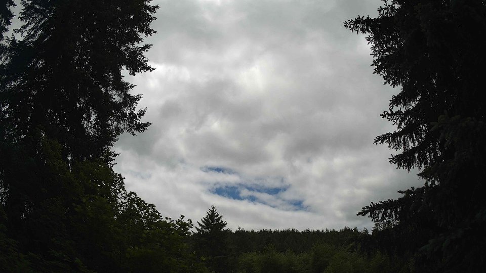
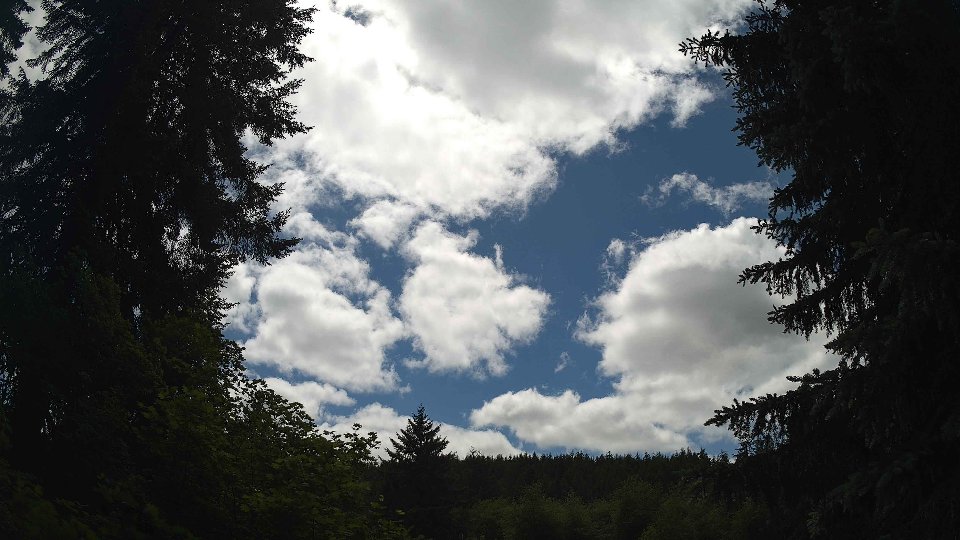
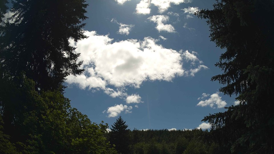
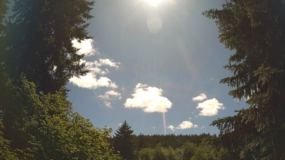
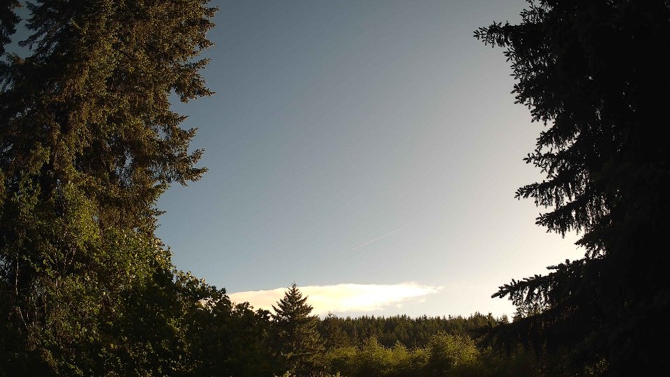
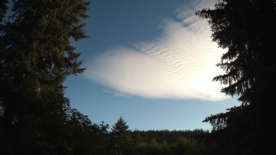
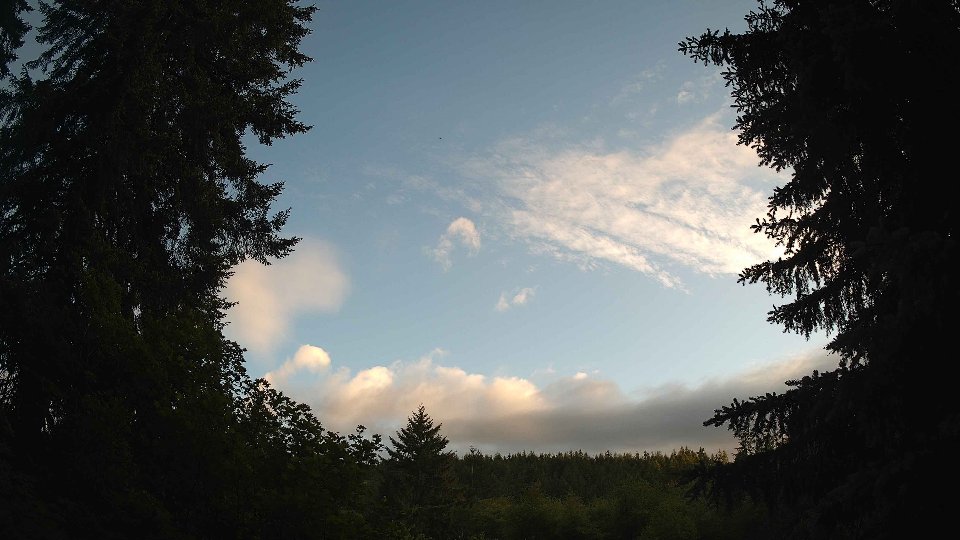
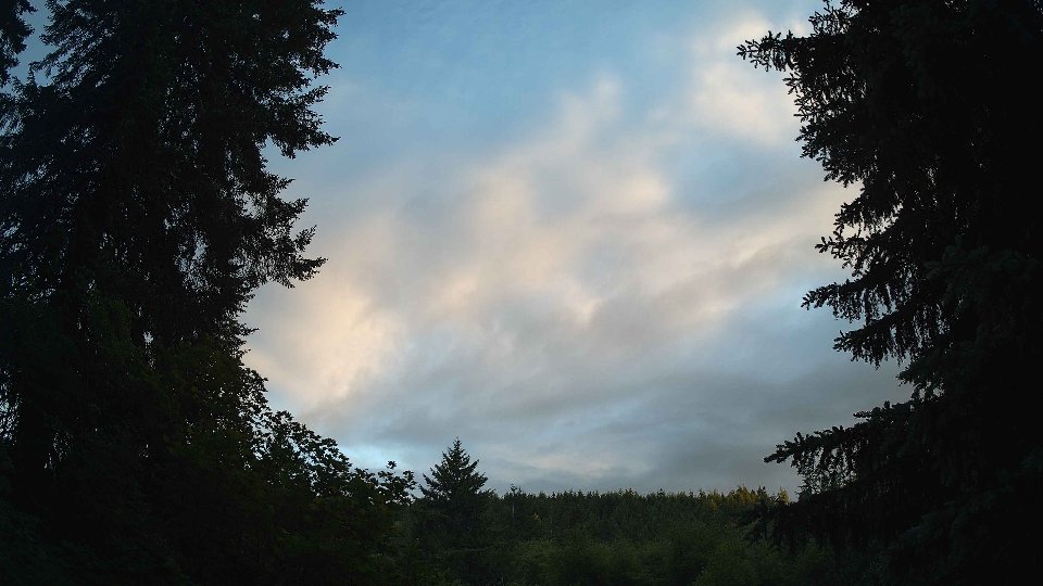
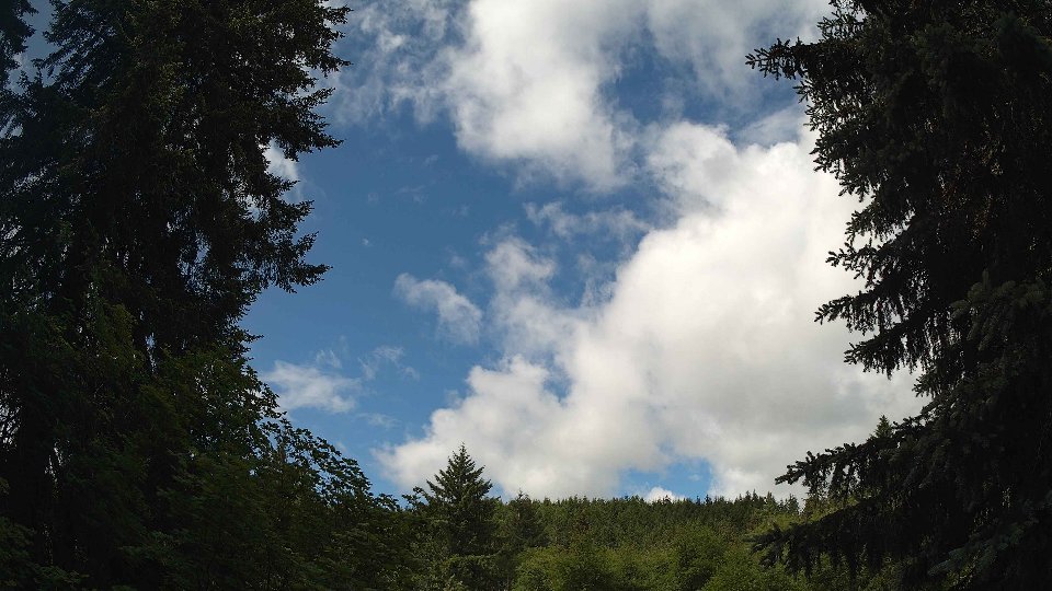
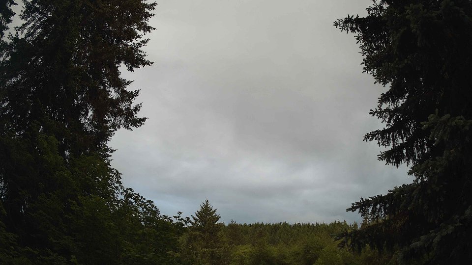
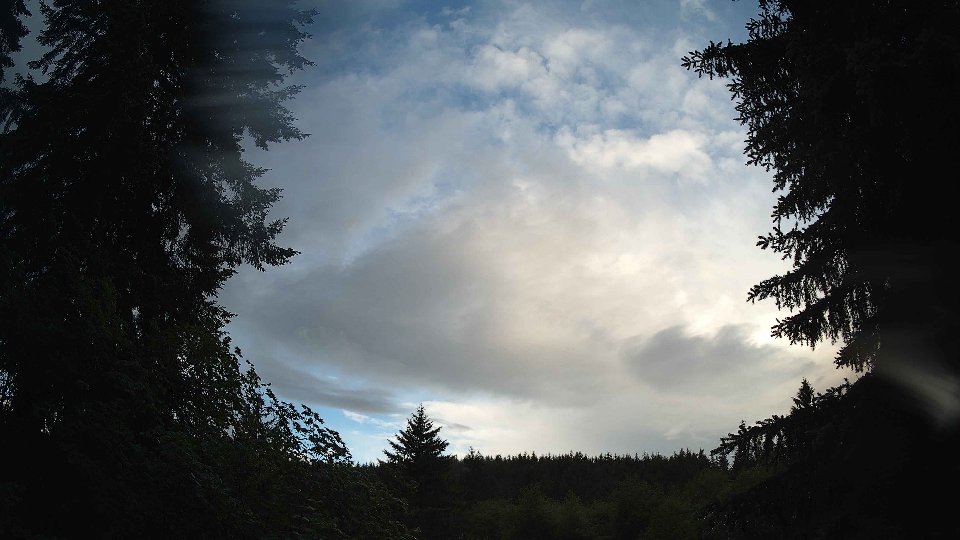
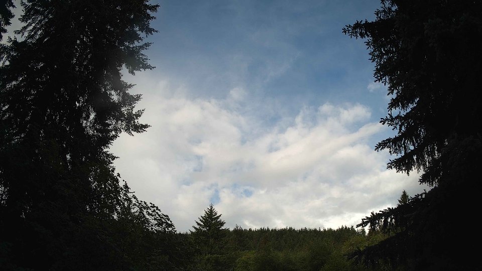
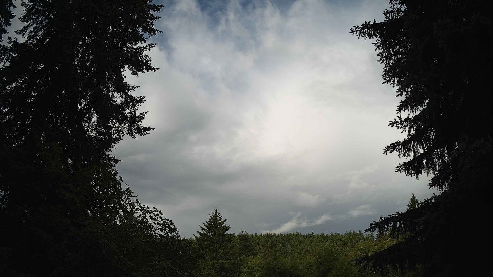
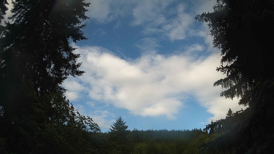
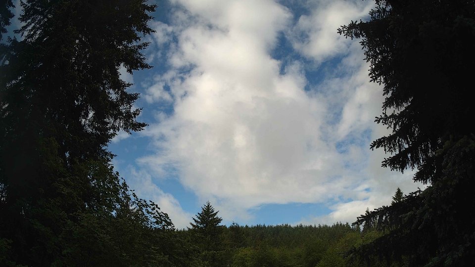
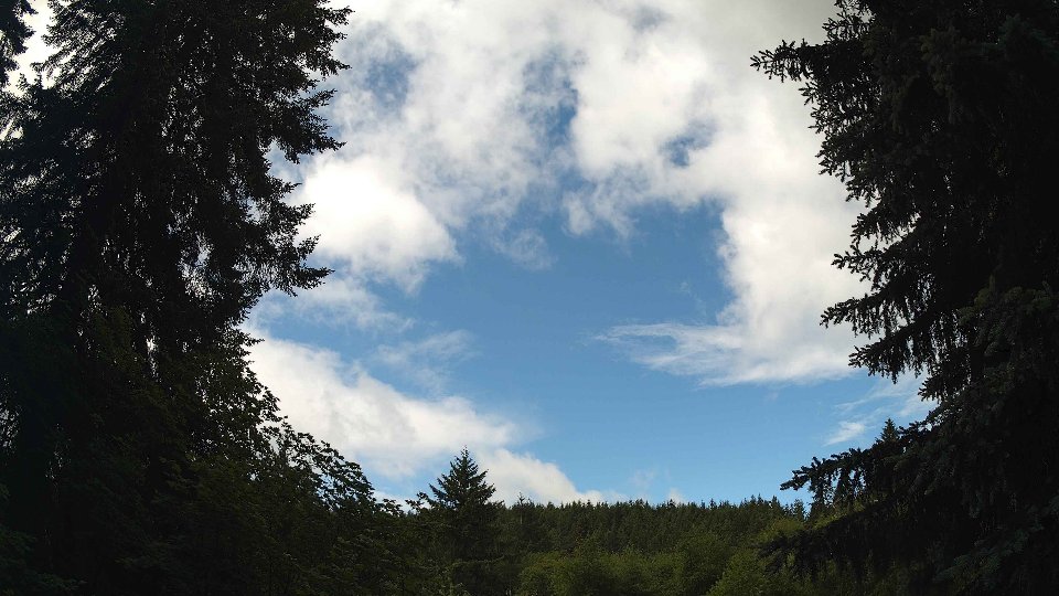
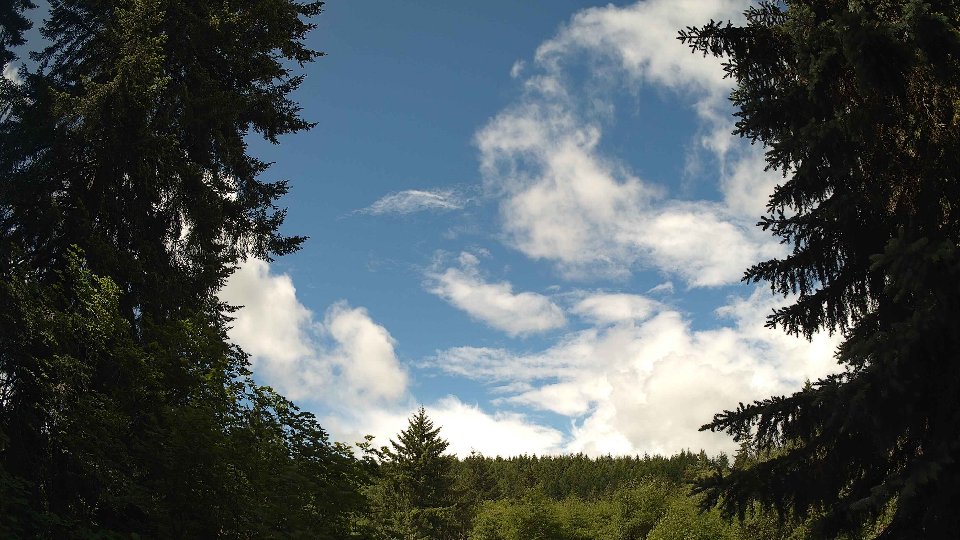
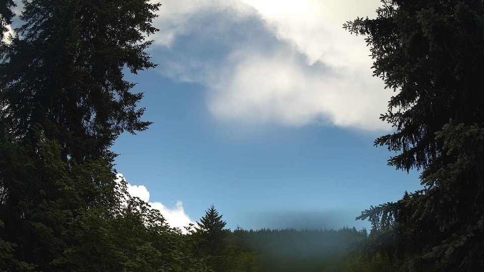
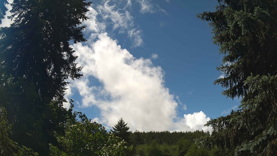
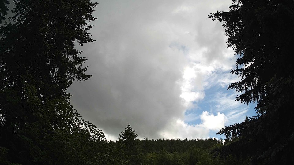
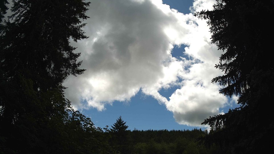
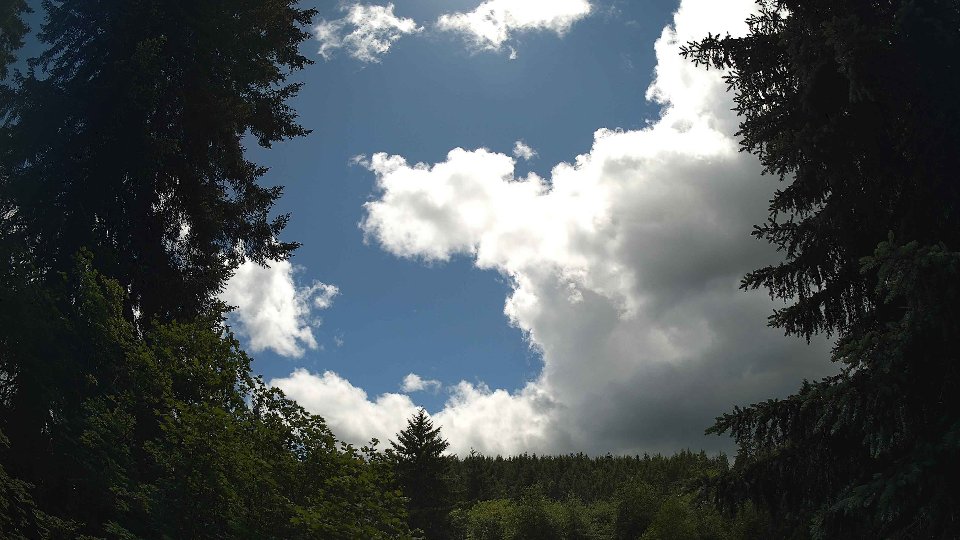
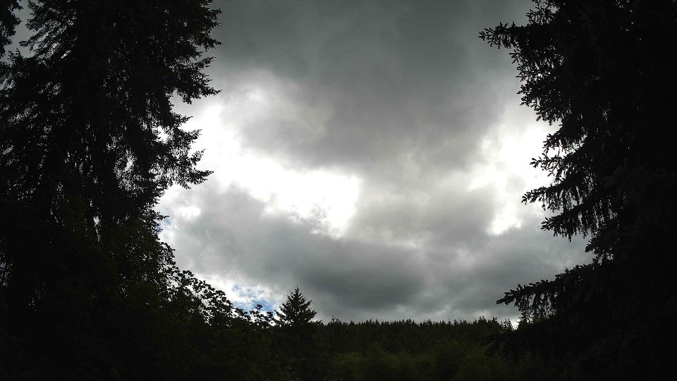
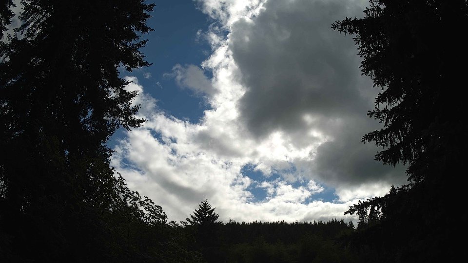
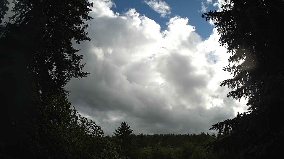
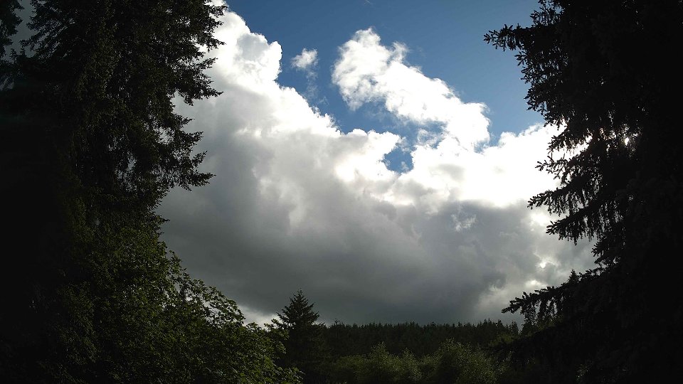
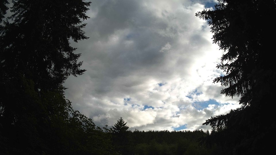
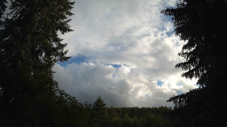
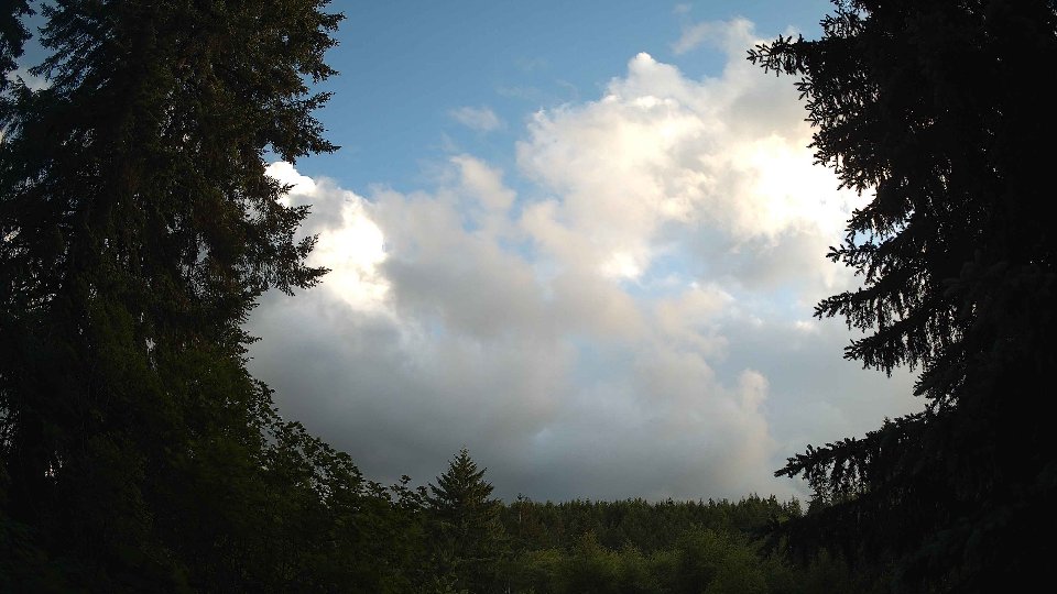
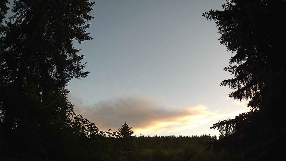
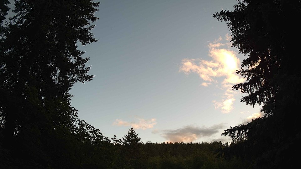
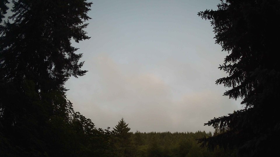
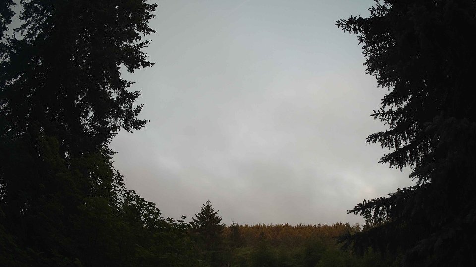
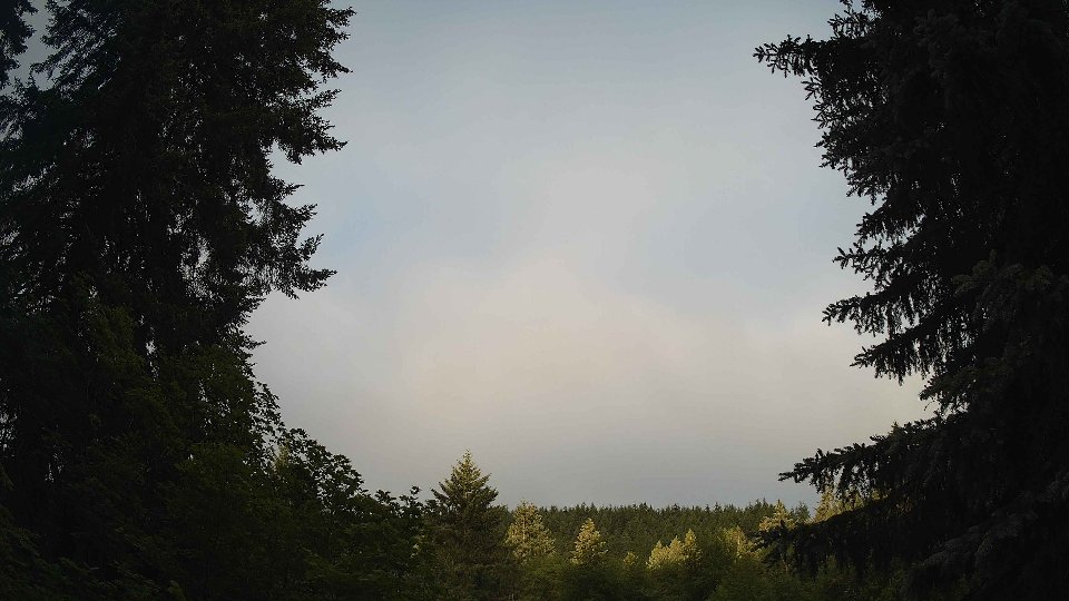
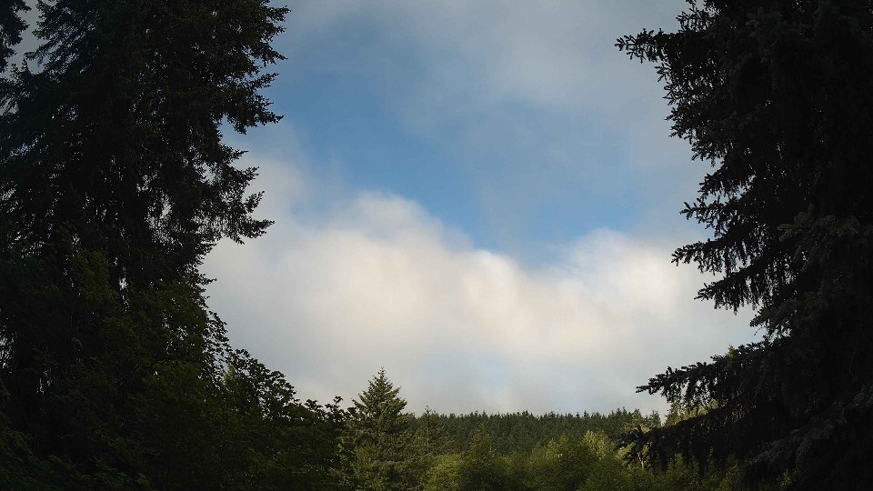
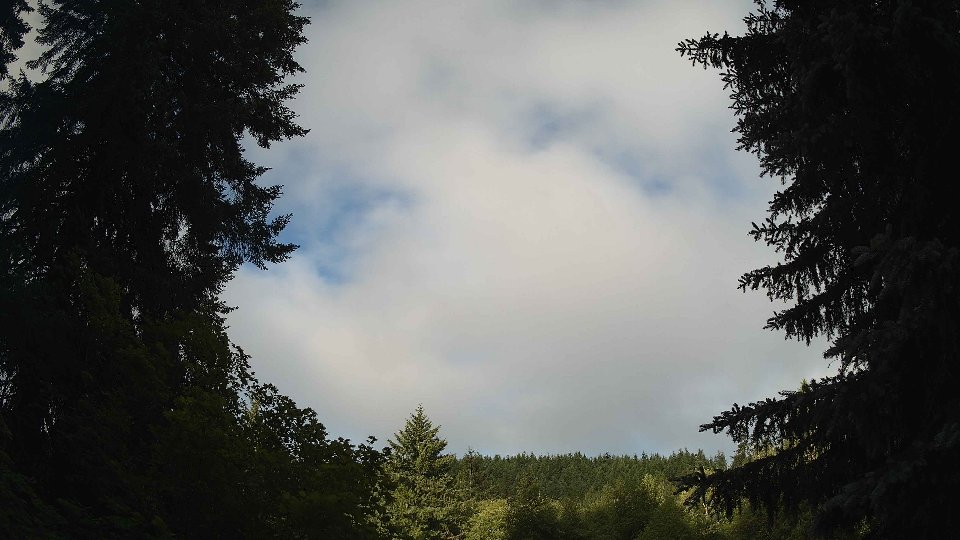
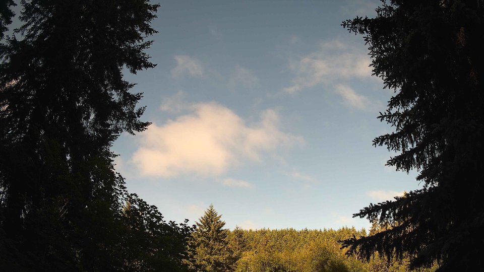
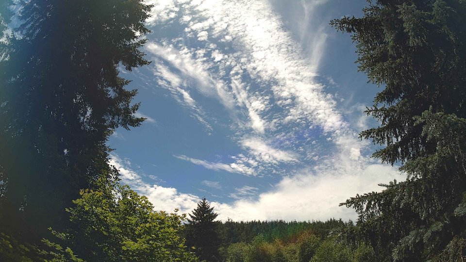
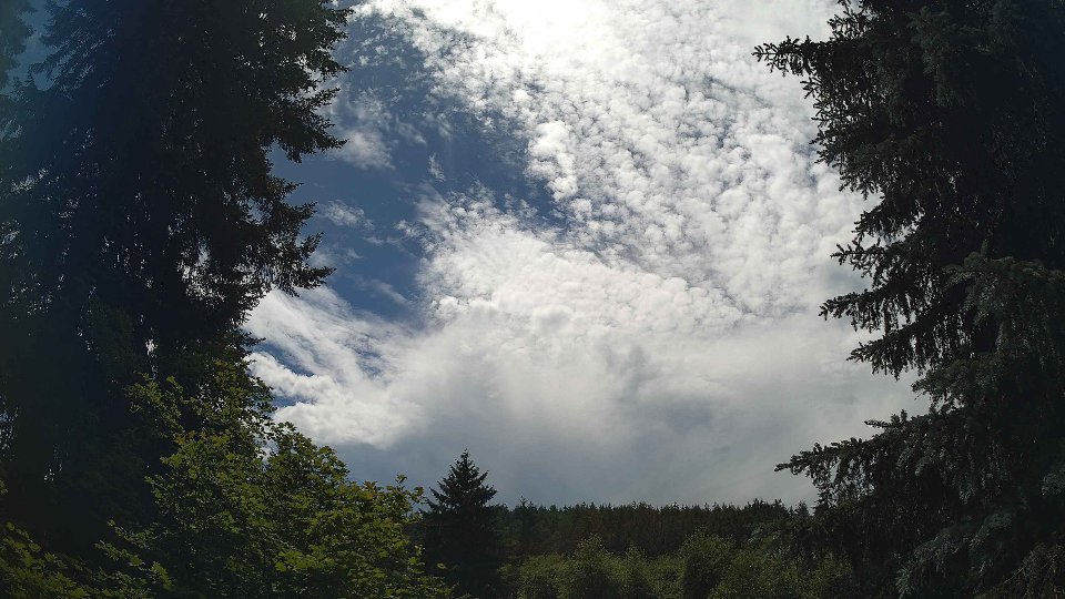
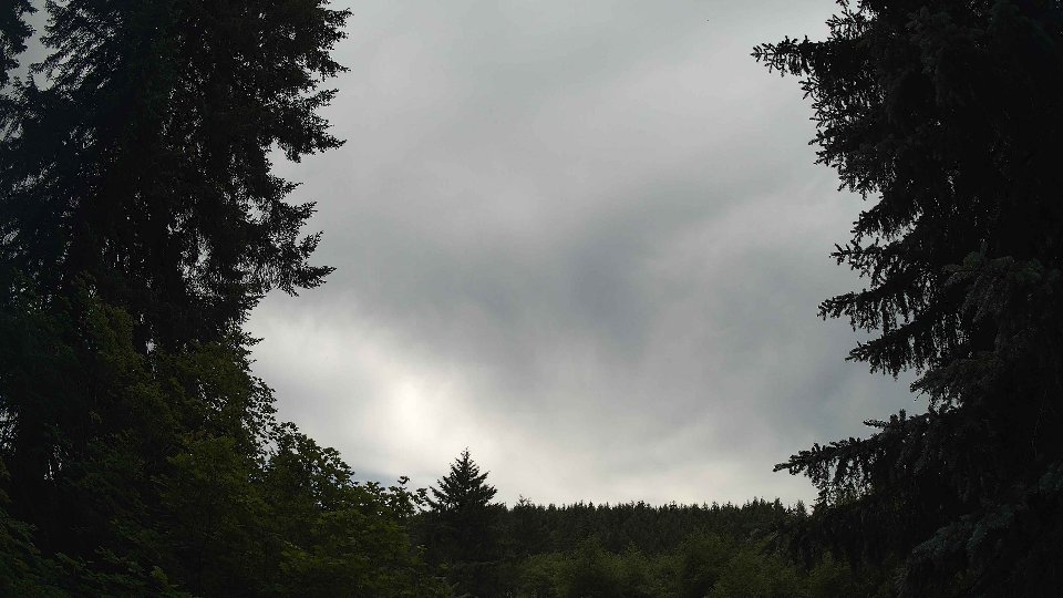
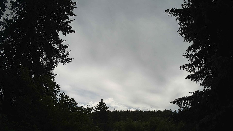
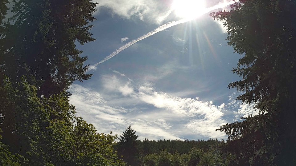
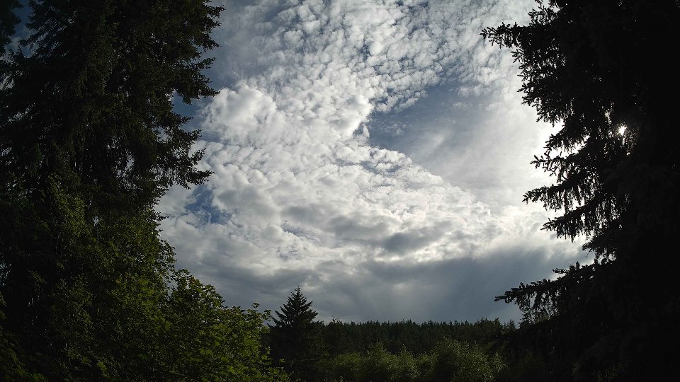
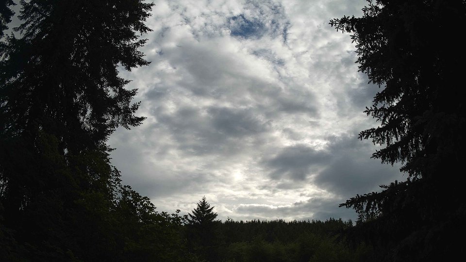
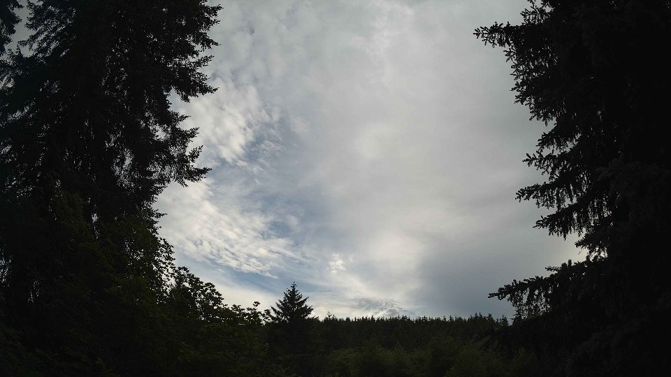
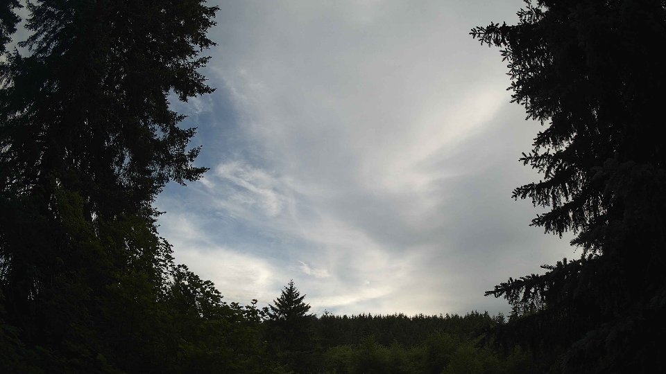
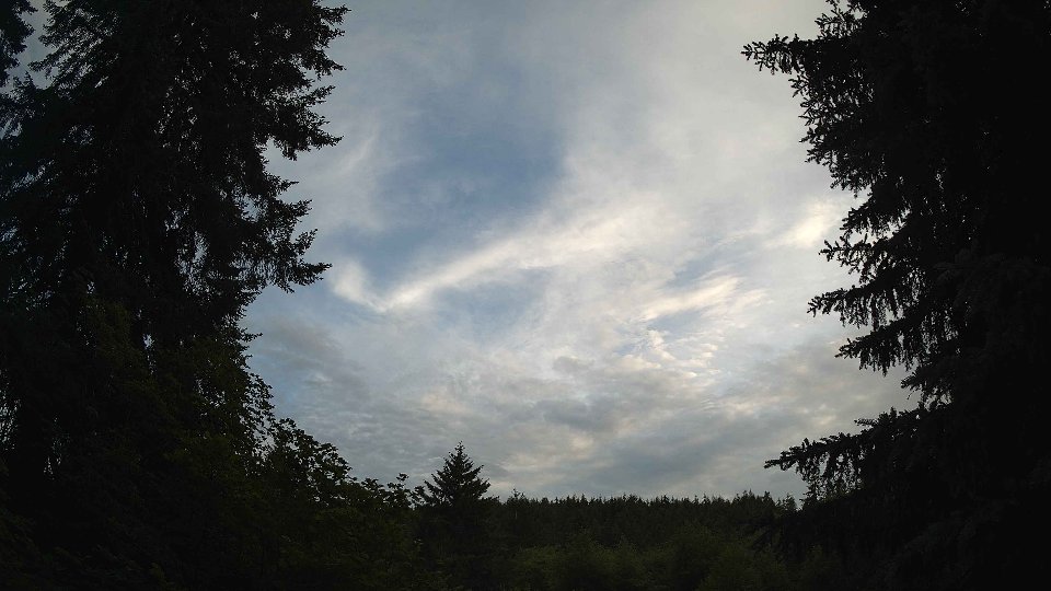
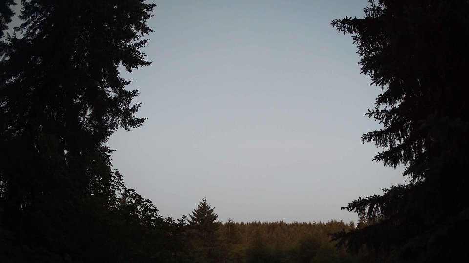
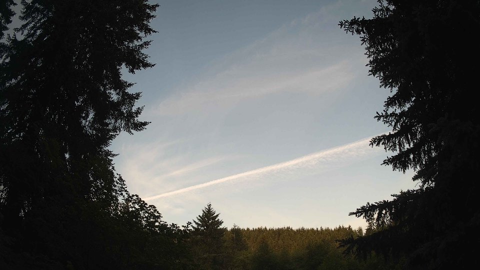
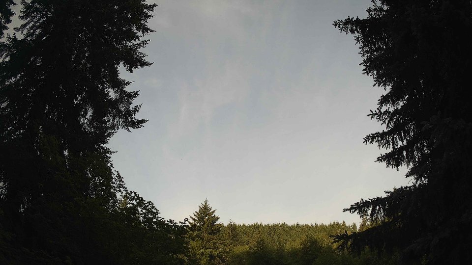
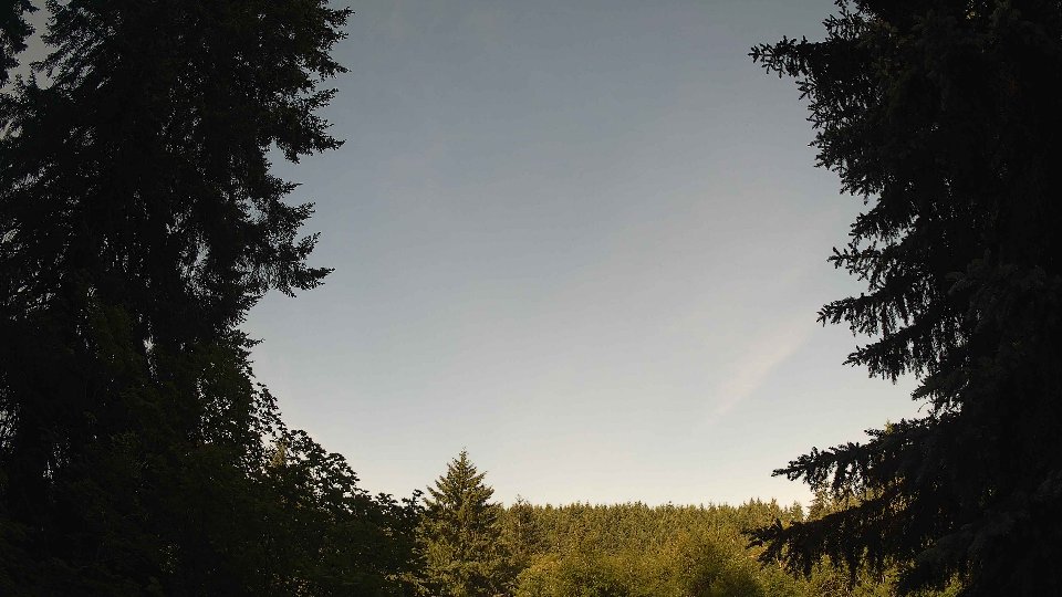
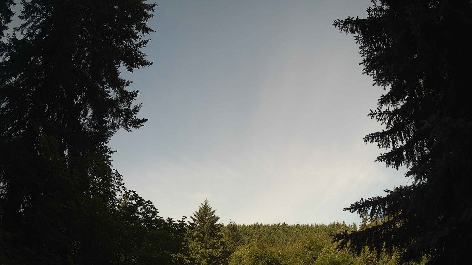
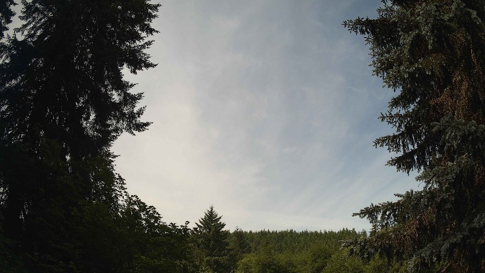
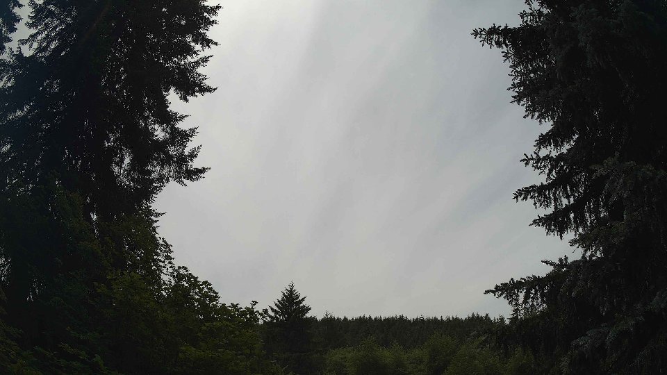
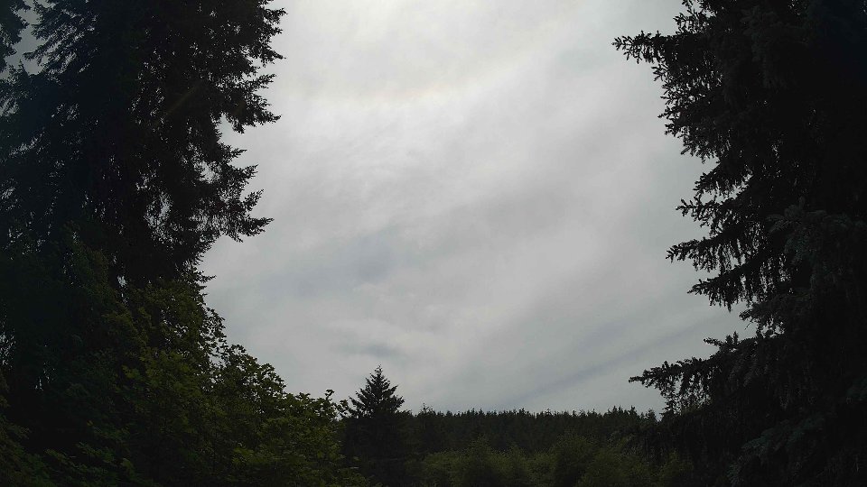
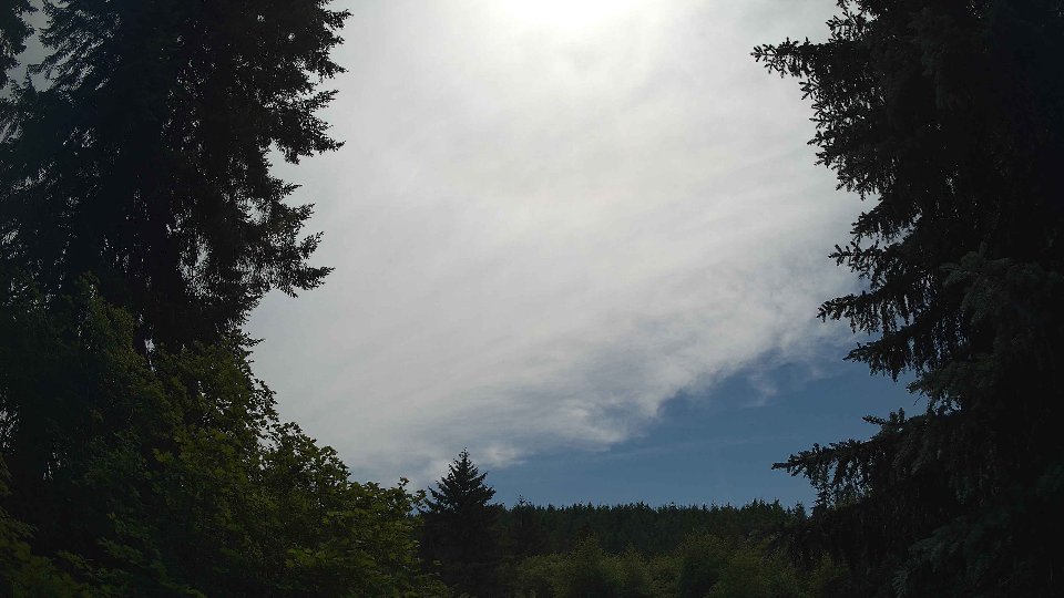
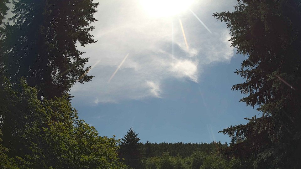
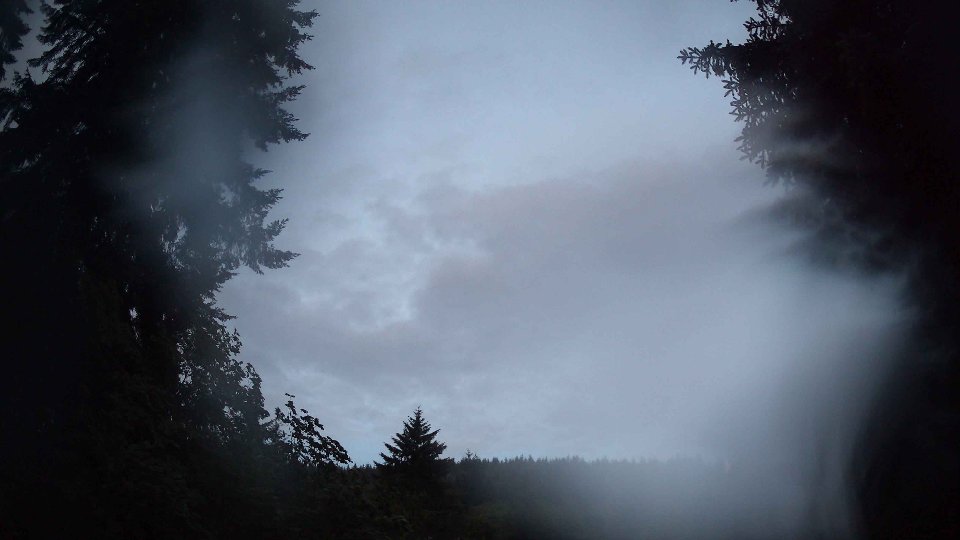
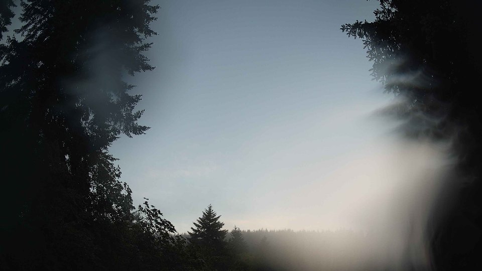
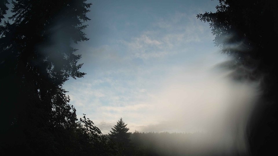
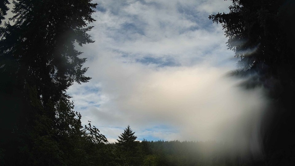
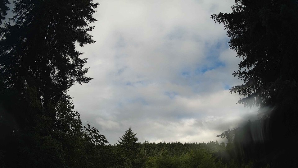
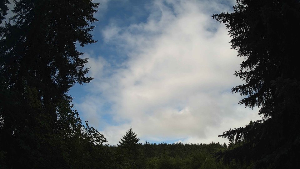
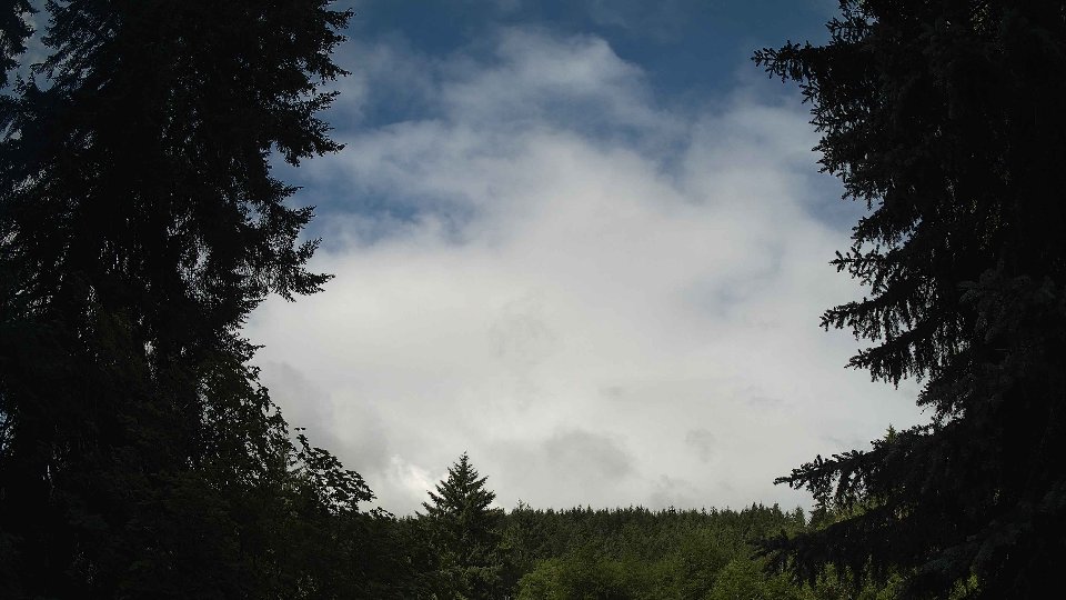
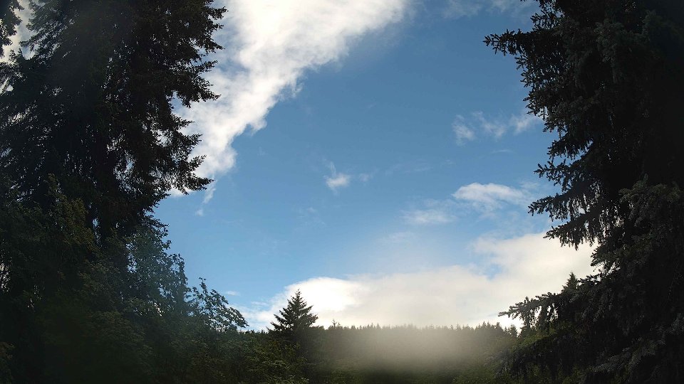
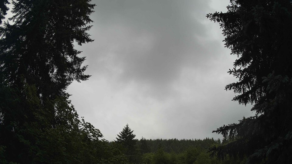
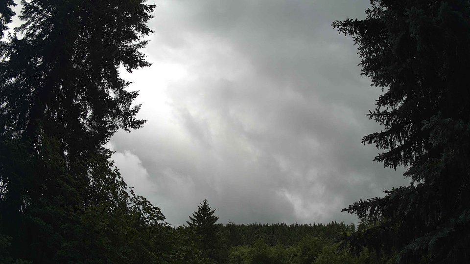
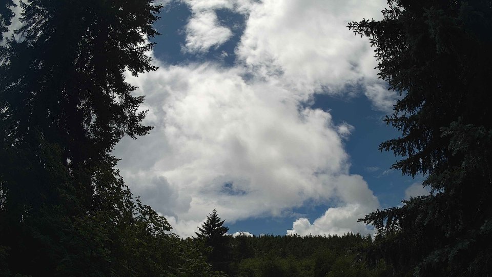
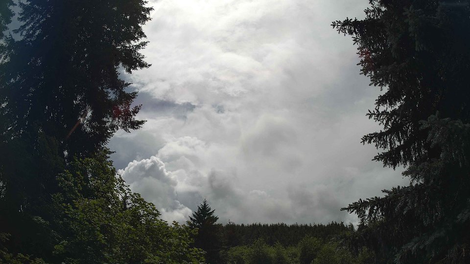
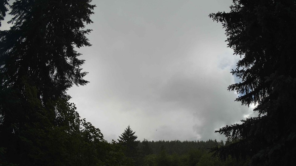
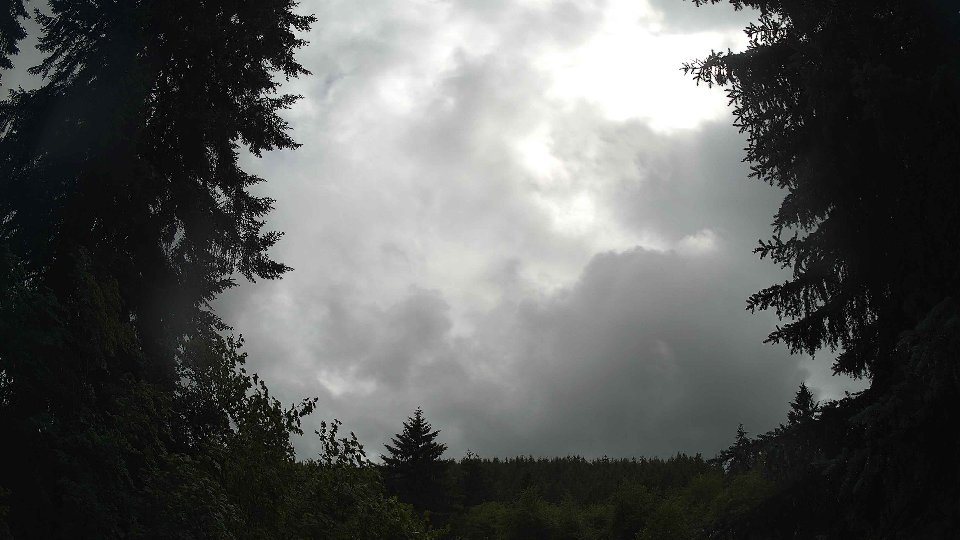
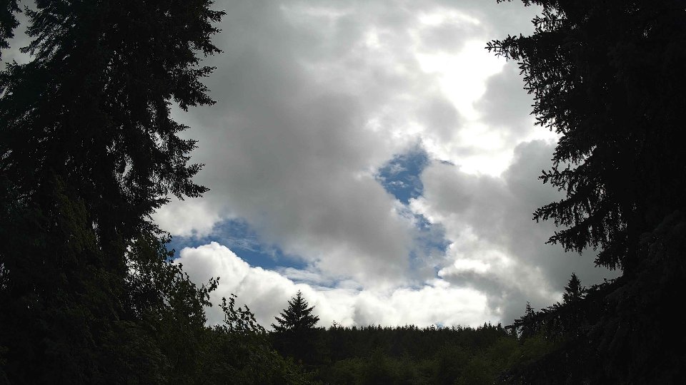
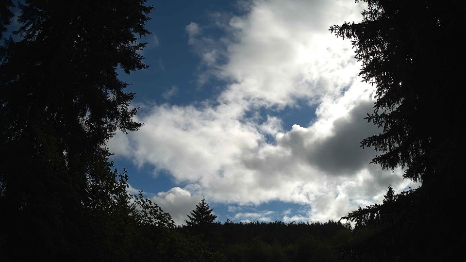
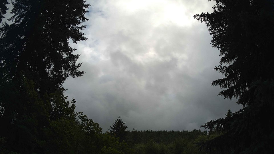
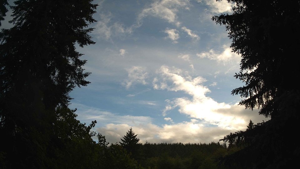
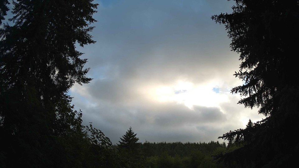
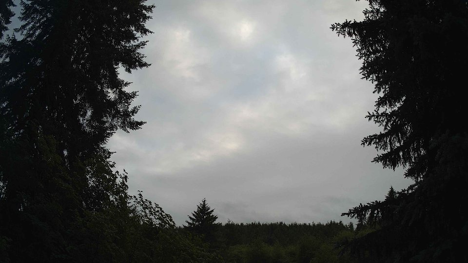
As evening approached, the weather began to transition once again. Surface winds picked up to an average of 9.0 mph and the winds at 100 meters surged to 13.1 mph, marking a distinct increase in wind strength. Cloud cover decreased dramatically to 30.7%, with low clouds retreating to 16.4% while mid-level clouds accounted for 2.4% and high clouds stretched across 18.1% of the sky. This change resulted in a more layered appearance, where the high clouds, pushed by faster upper-level winds, floated above the thinning low clouds. The influence of wind shear became evident as the differing speeds at various altitudes led to subtle turbulence, causing the remaining clouds to swirl gently and, at times, display a more textured pattern. The day closed at a mild temperature of 60.4°F, with the shifting cloudscape providing a dynamic end to a day marked by evolving weather conditions and rich visual narratives in the sky.
June 4th, 2026 Timeline
Screenshots with weather data (wind layers, clouds, precipitation)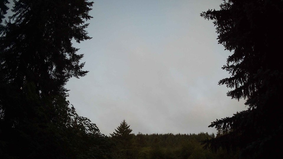


Weather Info for June 4th, 2026
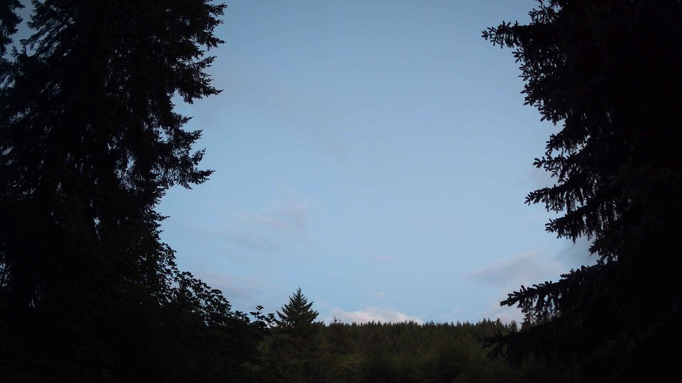
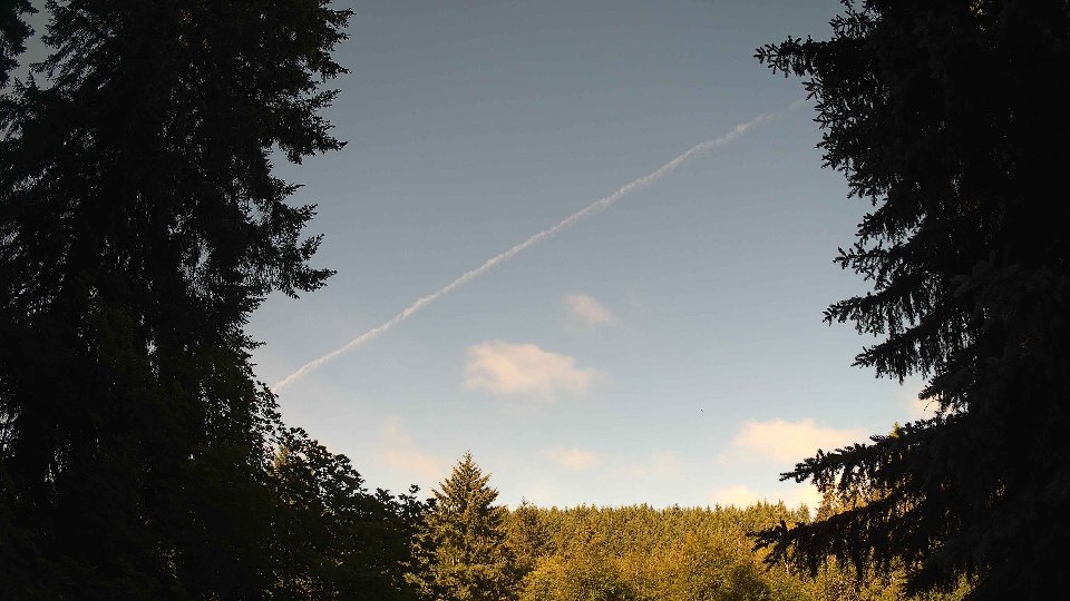
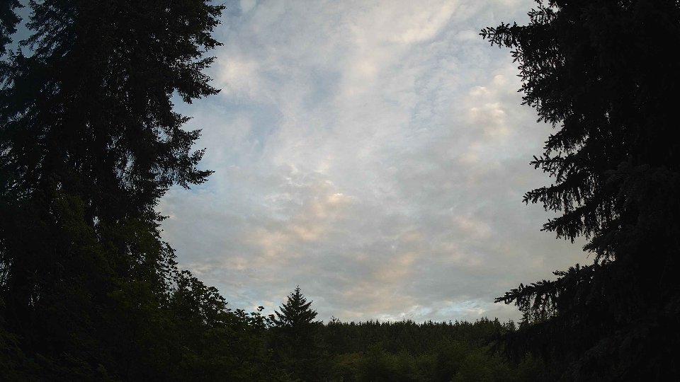
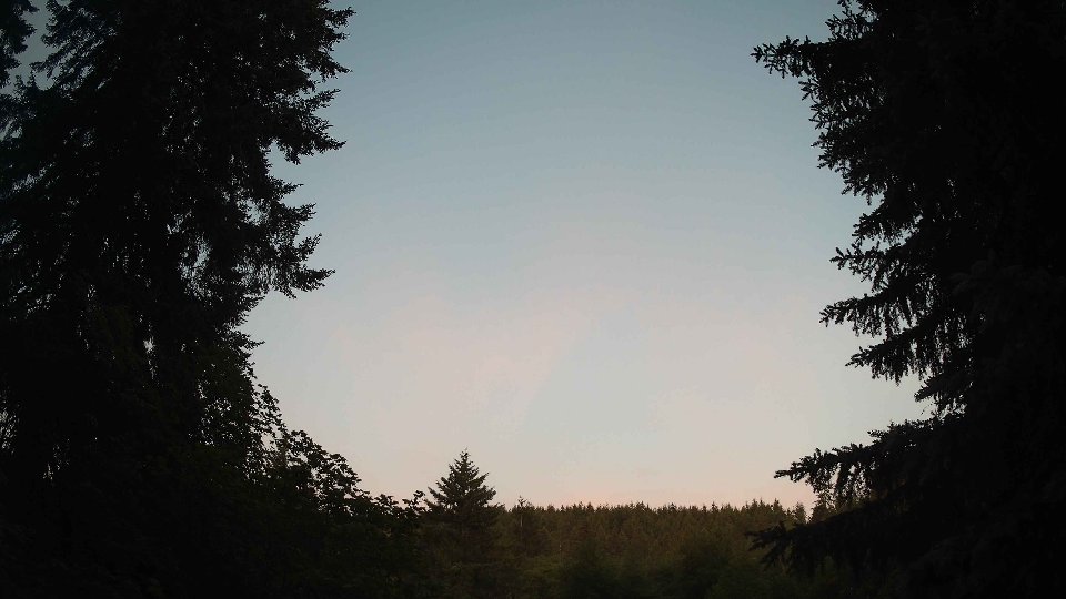
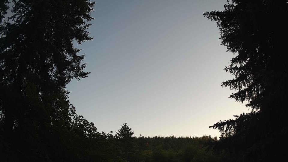
Sunset: 8:58 PM